Askjellfjellet (19.07.2022)

| Start point | Skjerjavatnet (983m) |
|---|---|
| Endpoint | Skjerjavatnet (983m) |
| Characteristic | Hillwalk |
| Duration | 1h 33min |
| Distance | 5.2km |
| Vertical meters | 240m |
| GPS |
|
| Ascents | Askjellfjellet (1,201m) | 19.07.2022 |
|---|
Askjellfjellet
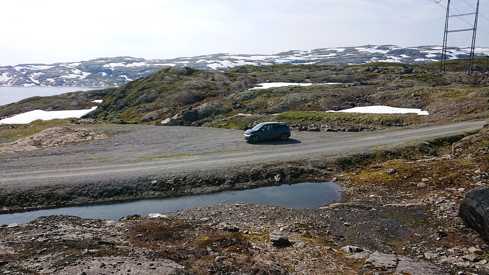
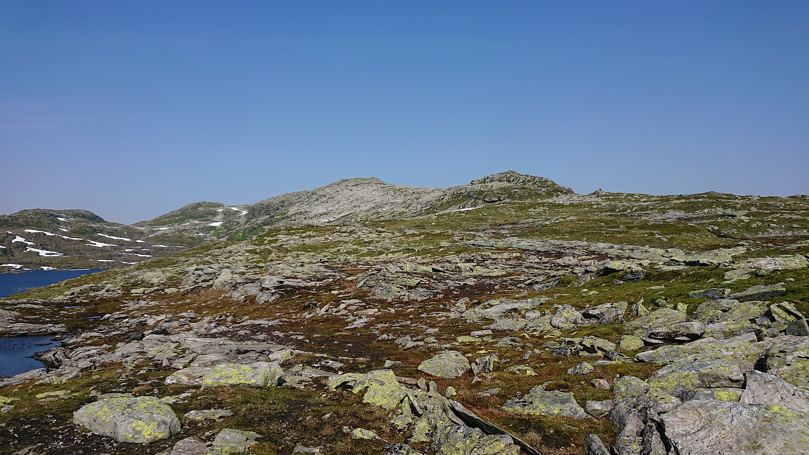
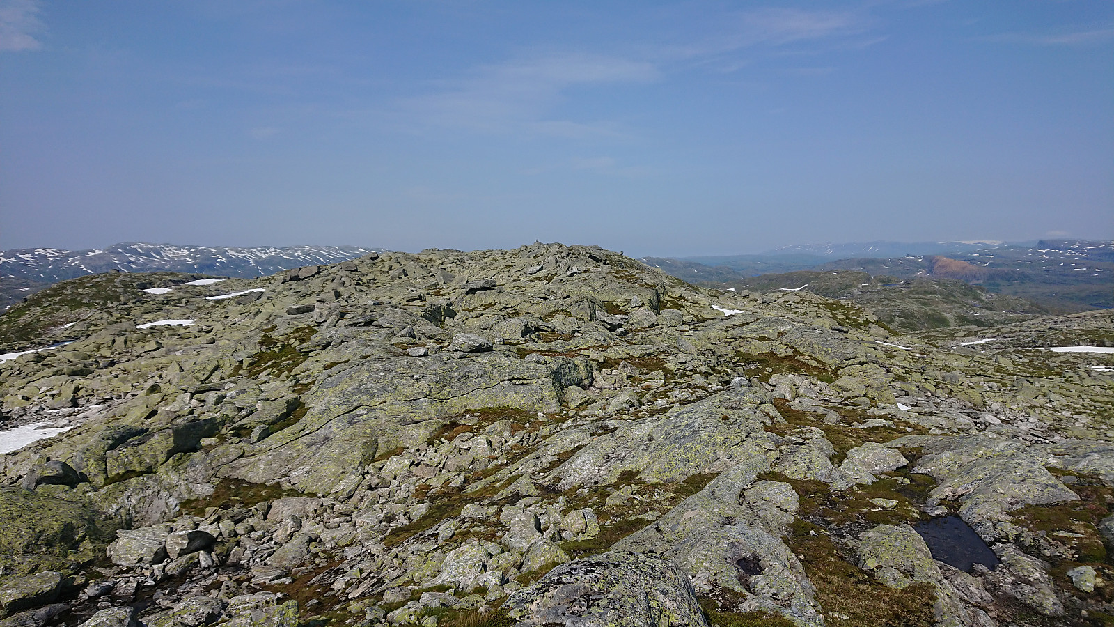
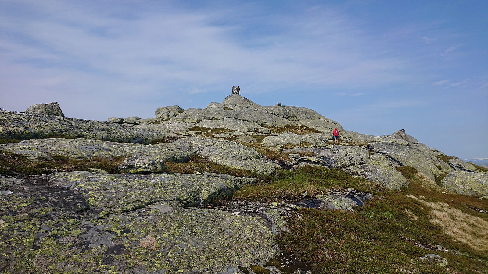
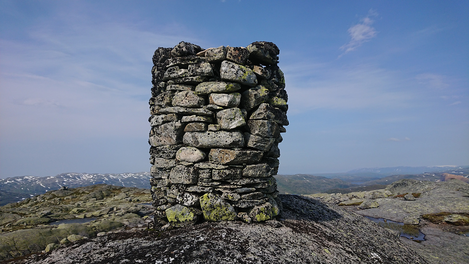
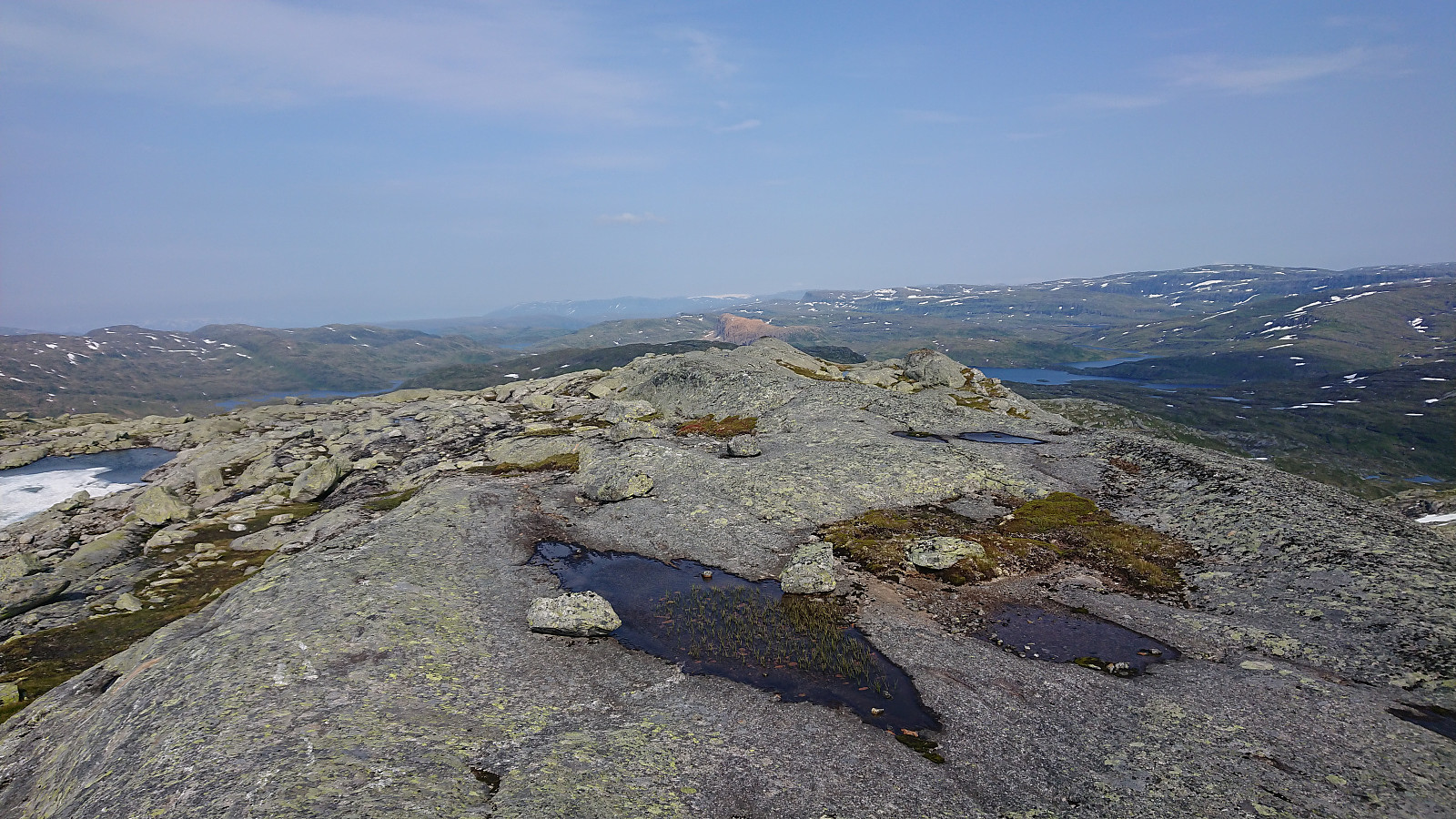
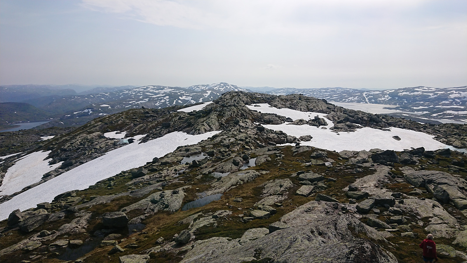
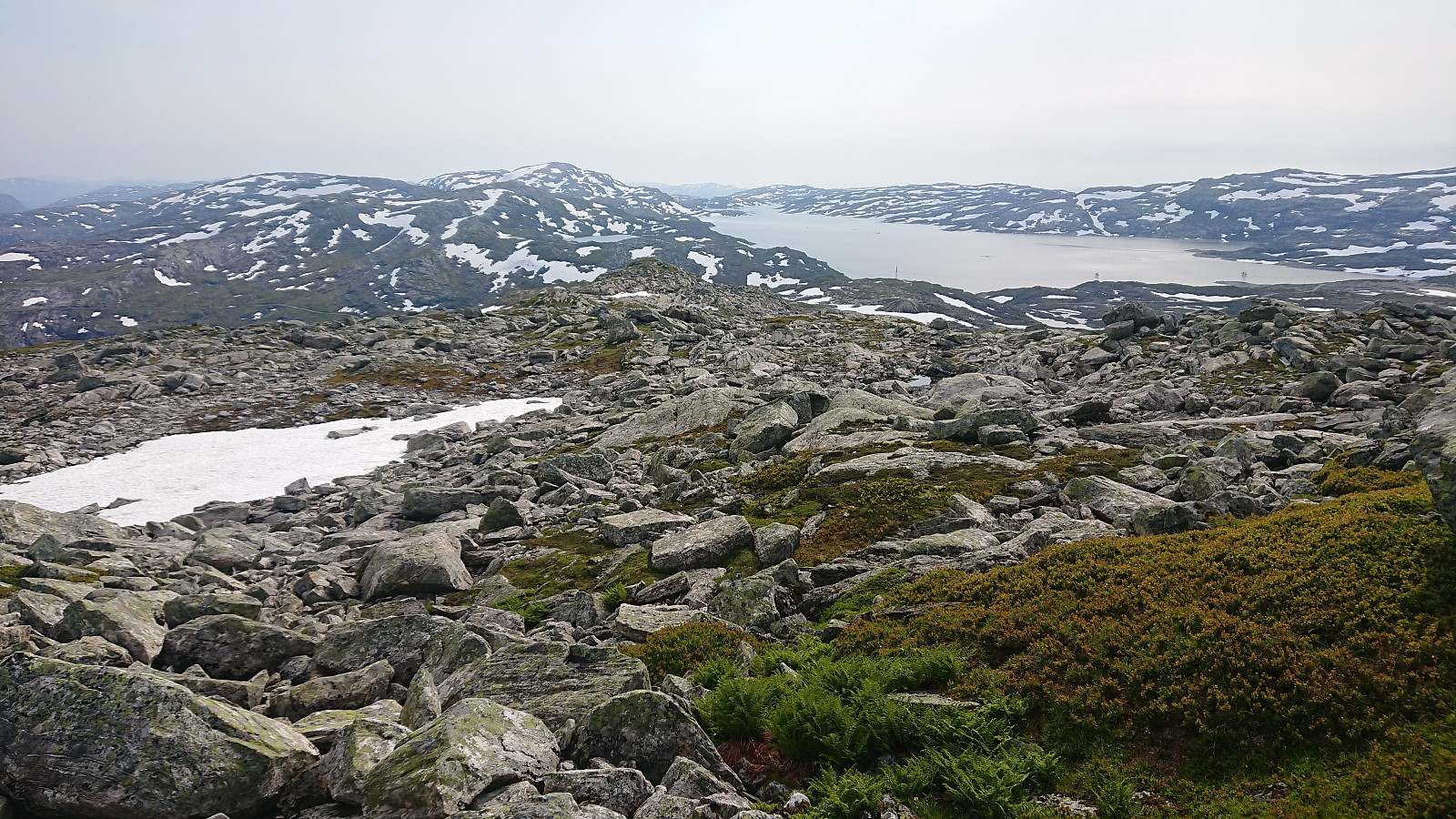
After our visits of Sørdalsfjellet, Hornafjellet and Gavlafjellet, Petter and I drove the short distance to Skjerjavatnet where we parked at a gravel-covered area right next to the road. Petter immediately started his ascent of Askjellfjellet while I first changed into shorts and sneakers as the until now rather unstable weather finally had decided to stay warm and sunny. We therefore followed slightly different ascent routes and did meet up until almost at the summit. In any case, it was more or less a matter of simply following the ridge until arriving at the large cairn, and with no difficult sections to speak of. After the mandatory summit pictures, we returned together along more or less the same route as I had used for my ascent, thus concluding an excellent day of hiking in Modalen with a total of four new summits added to the list of visited summits in Hordaland. Takk for turen Petter!
| Start date | 19.07.2022 16:11 (UTC+01:00 DST) |
| End date | 19.07.2022 17:44 (UTC+01:00 DST) |
| Total Time | 1h 33min |
| Moving Time | 1h 31min |
| Stopped Time | 0h 1min |
| Overall Average | 3.4km/h |
| Moving Average | 3.4km/h |
| Distance | 5.2km |
| Vertical meters | 239m |

User comments