Ramnaberget, Veten, Kjetilsfjellet and Hendershaugen (03.07.2022)

| Startsted | Krokeide videregående skole (30moh) |
|---|---|
| Sluttsted | Krokeide kryss (9moh) |
| Turtype | Fjelltur |
| Turlengde | 2t 57min |
| Distanse | 10,0km |
| Høydemeter | 429m |
| GPS |
|
| Bestigninger | Hendershaugen (98moh) | 03.07.2022 |
|---|---|---|
| Kjetilsfjellet (140moh) | 03.07.2022 | |
| Ramnaberget (129moh) | 03.07.2022 | |
| Veten i Fana (172moh) | 03.07.2022 | |
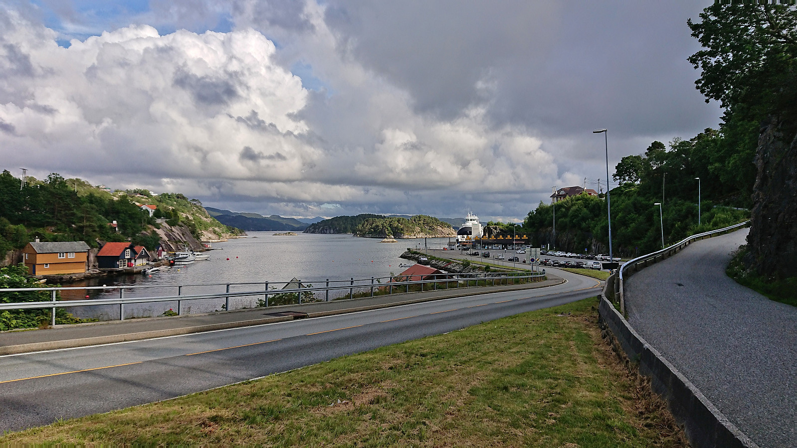
| Andre besøkte PBE'er | Korsneset p-plass (35moh) | 03.07.2022 |
Ramnaberget, Veten, Kjetilsfjellet and Hendershaugen
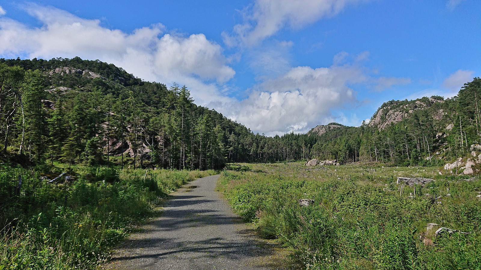
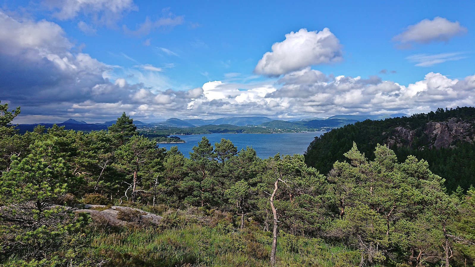
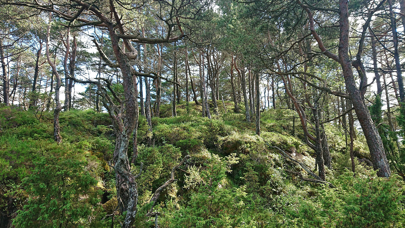
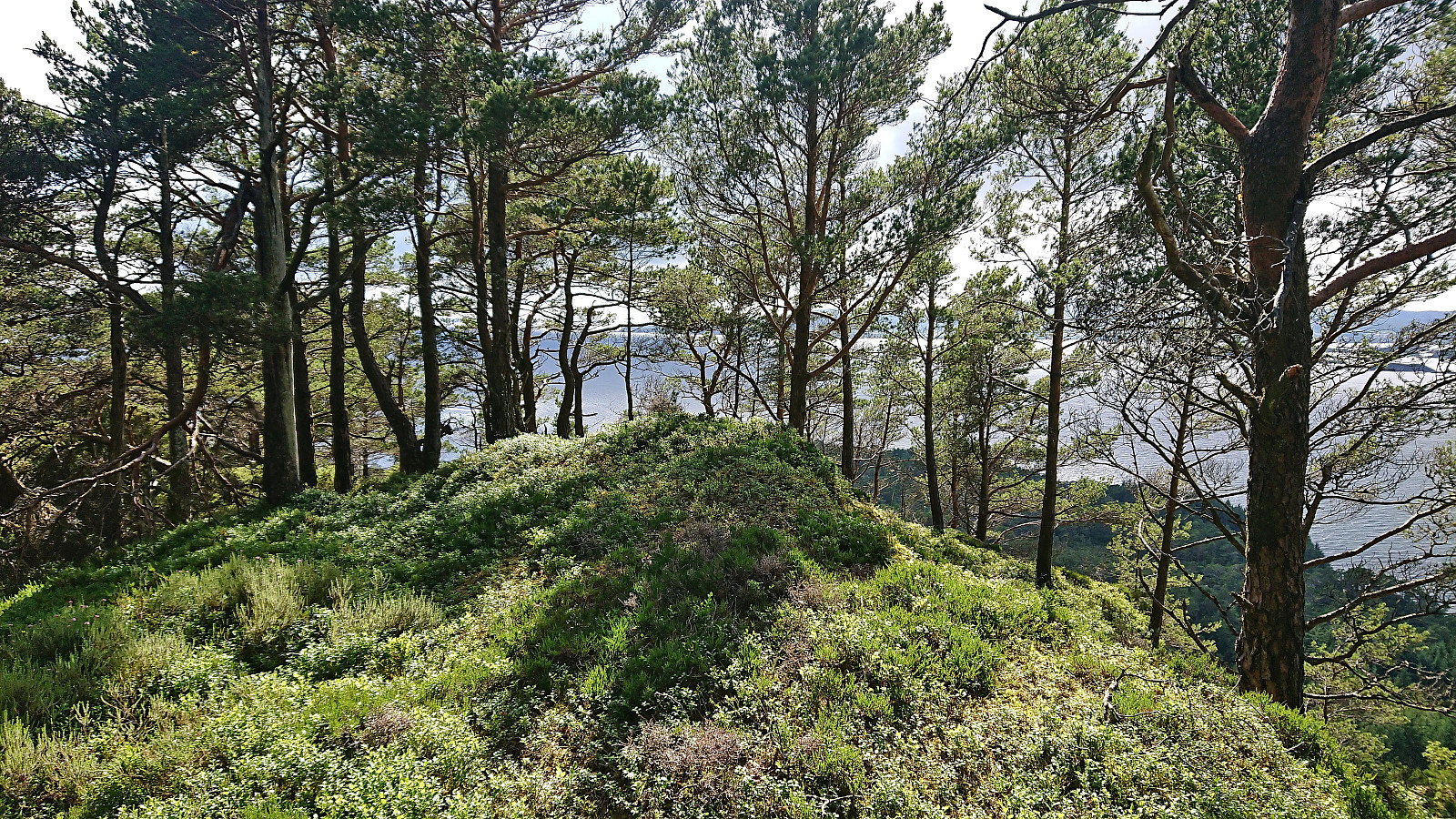
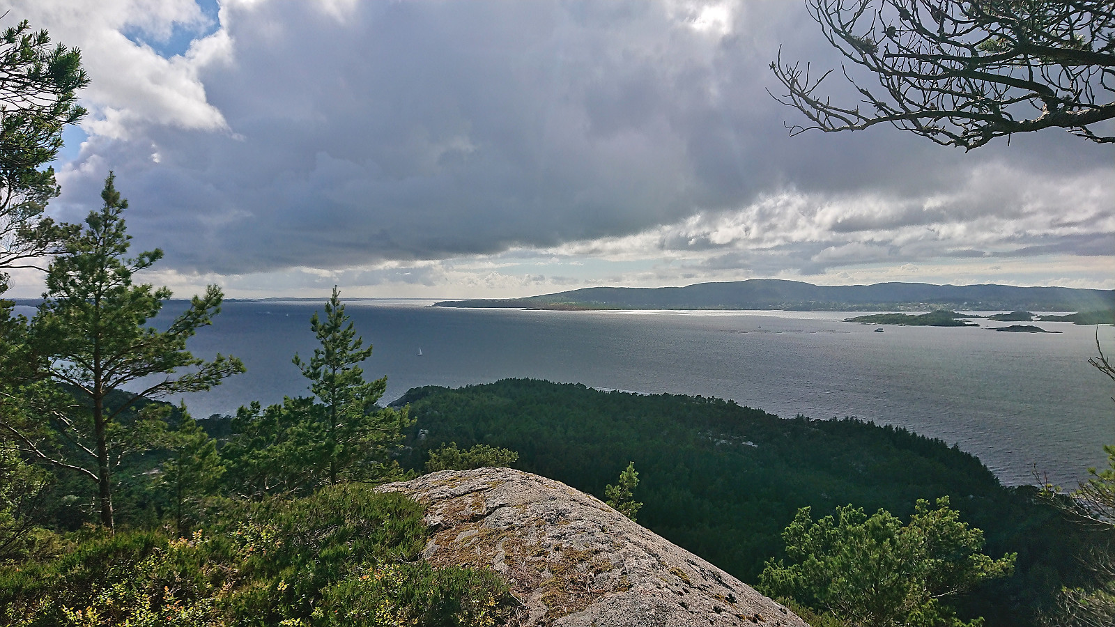
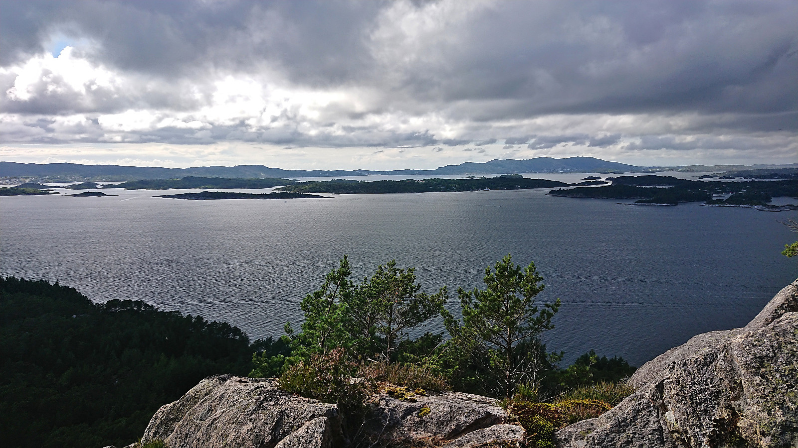
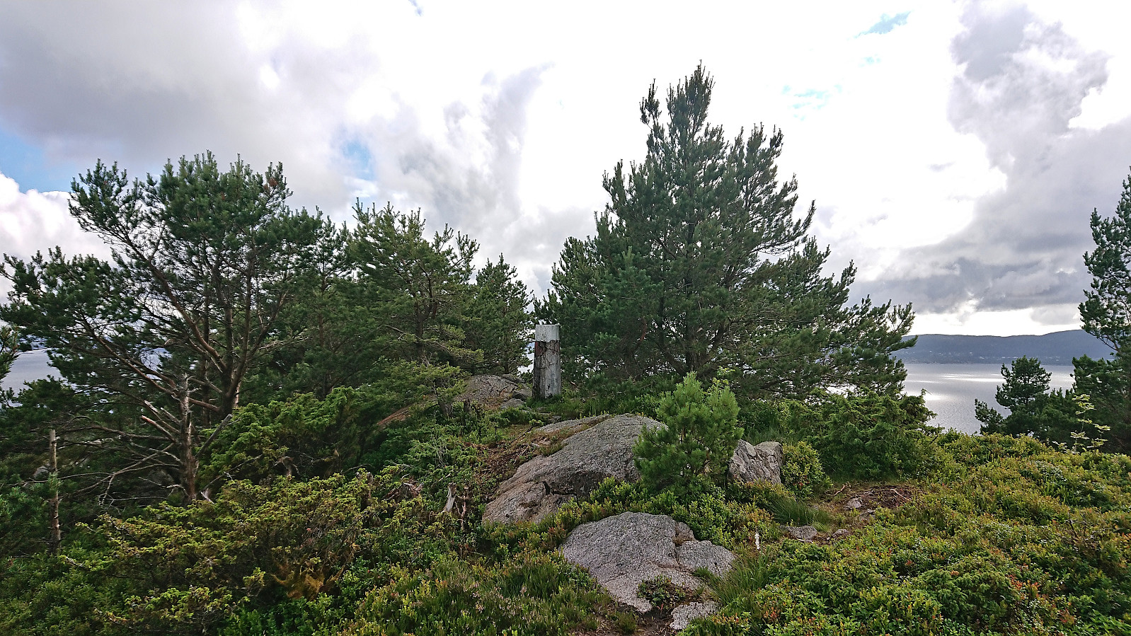
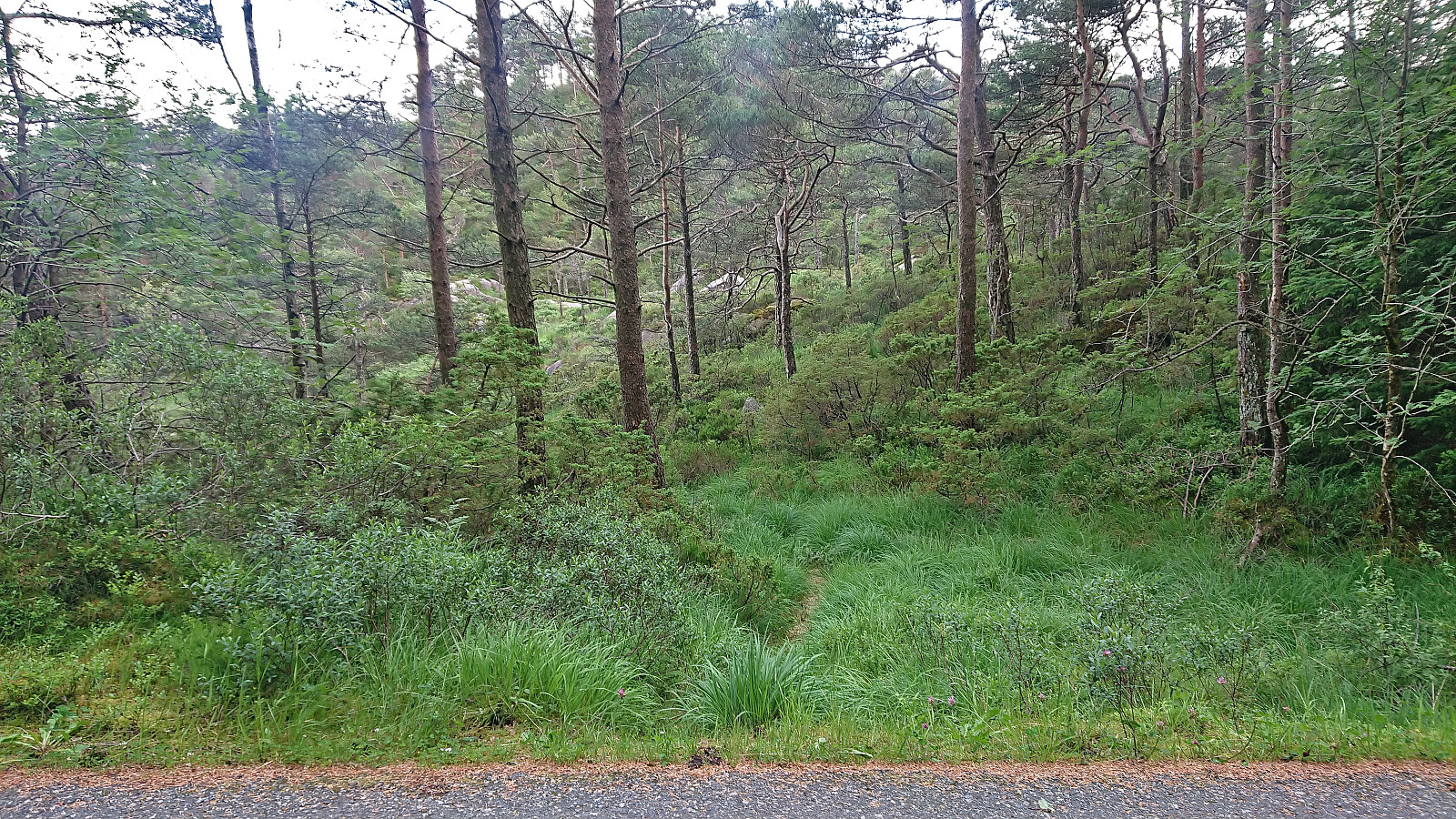
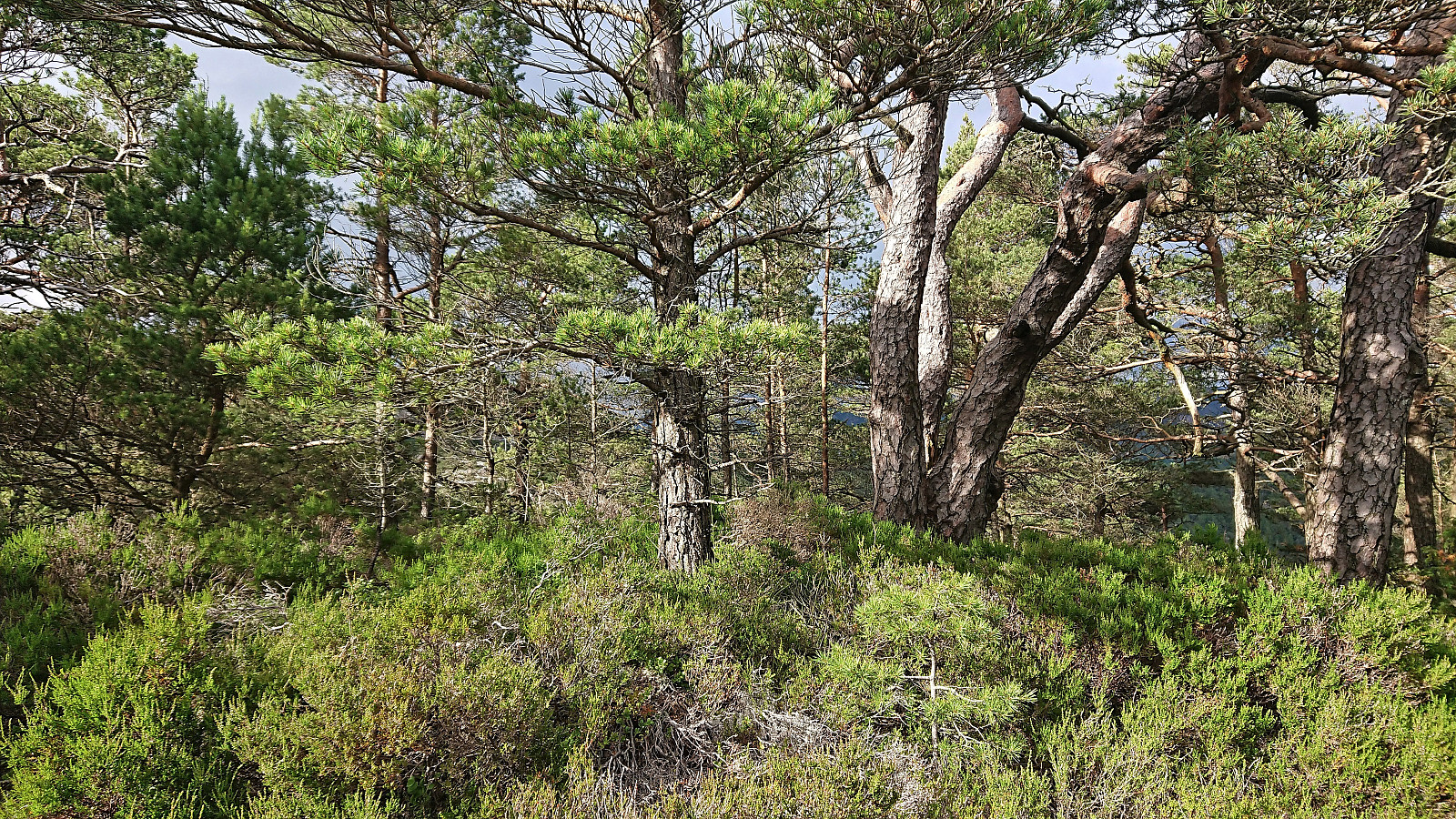
Afternoon trip to Korsneset to visit three minor summits on the Alle topper i Bergen list. I started by taking the bus to Krokeide and getting off at the final bus stop called "Krokeide videregående skole". From there I walked along the roads until being just east of Ramnaberget and managed to find a relatively easy off-trail ascent, partly following deer tracks. Limited views from the summit, but great views could be obtained a short distance to the southwest.
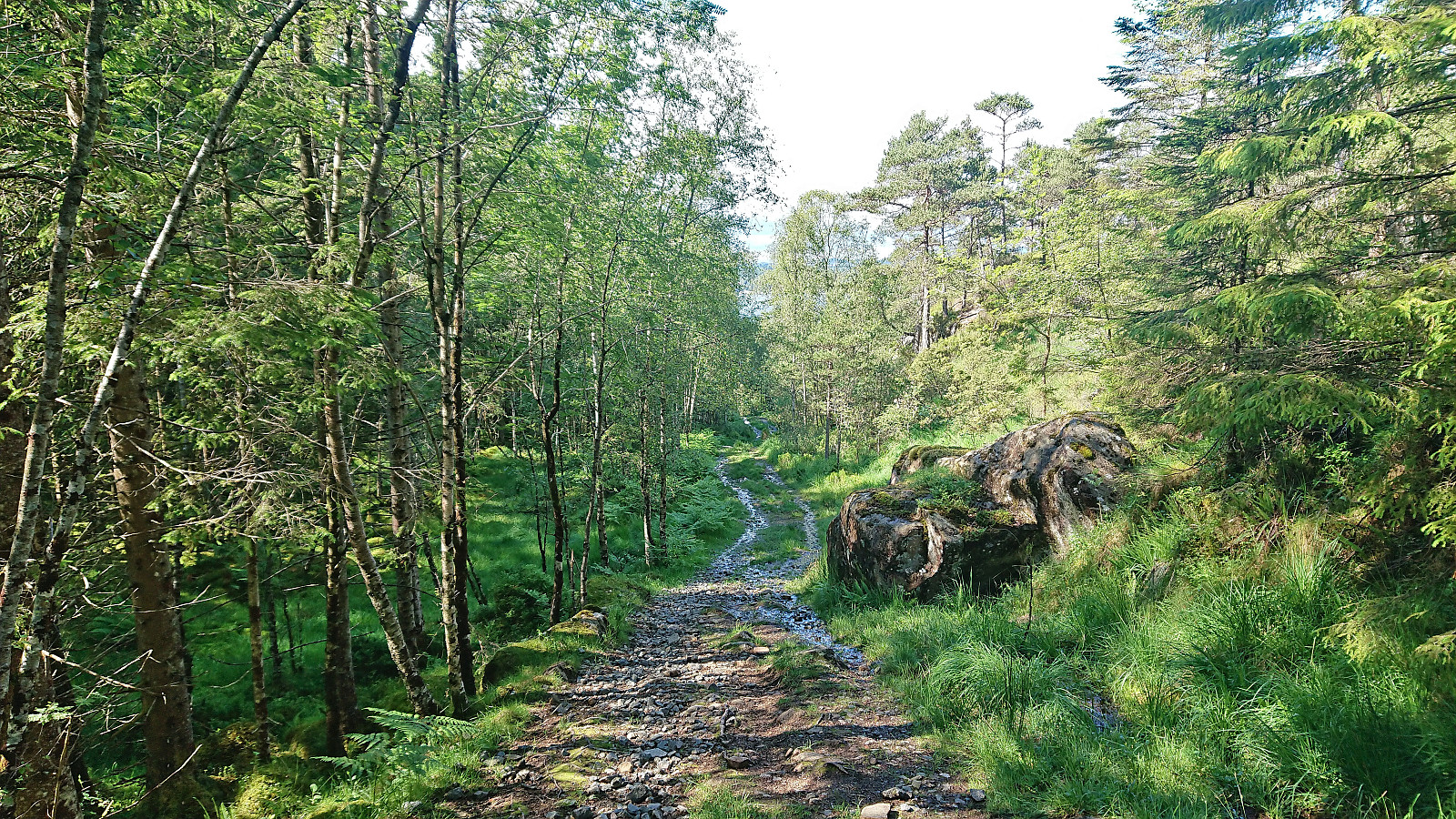
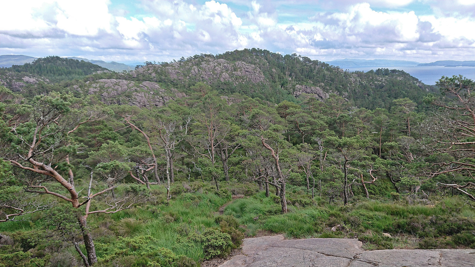
I returned along more or less the same route before following the steep trail to Veten where the usually excellent views were reduced due to a passing light rain shower. I therefore did not stay long before starting my descent, this time following the less steep southern route.
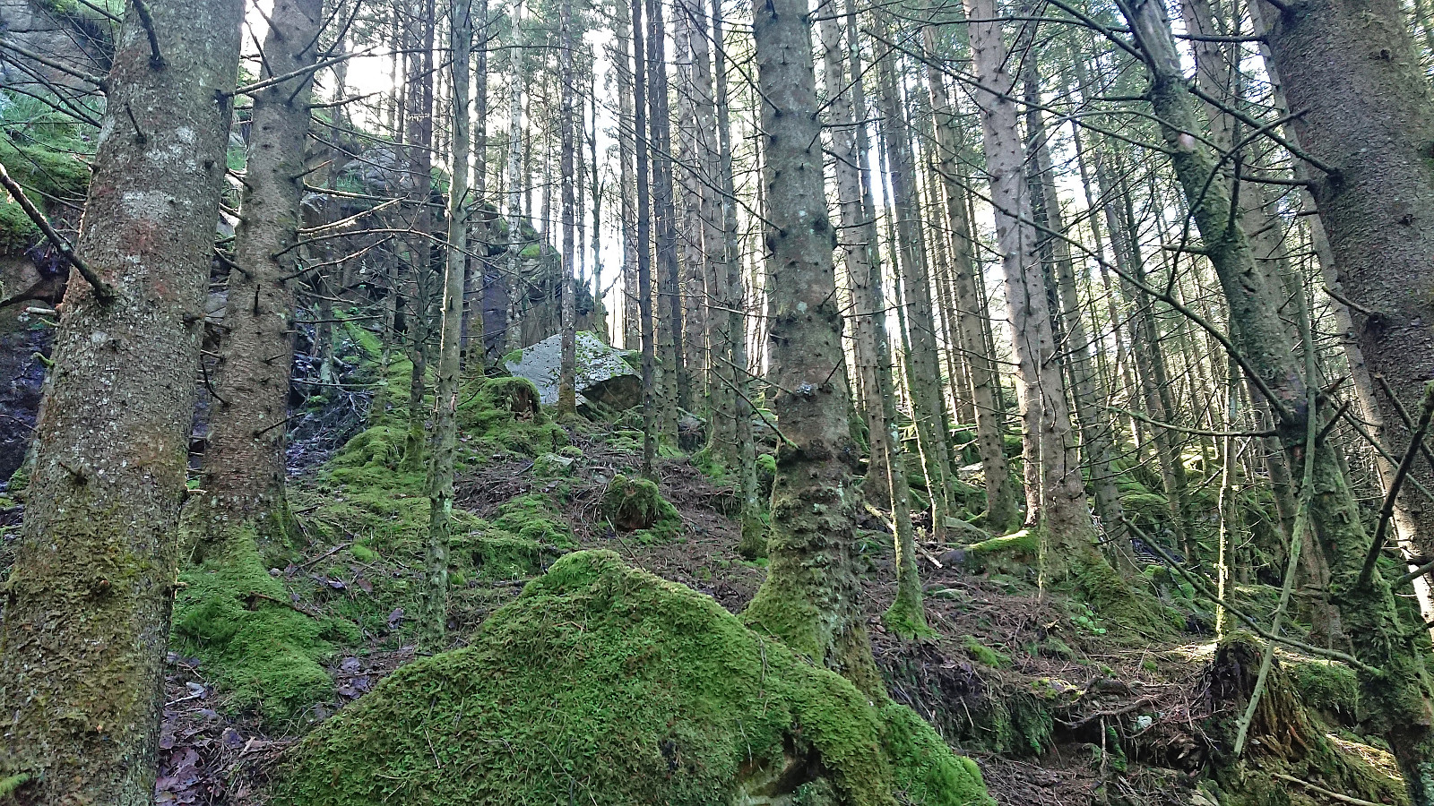
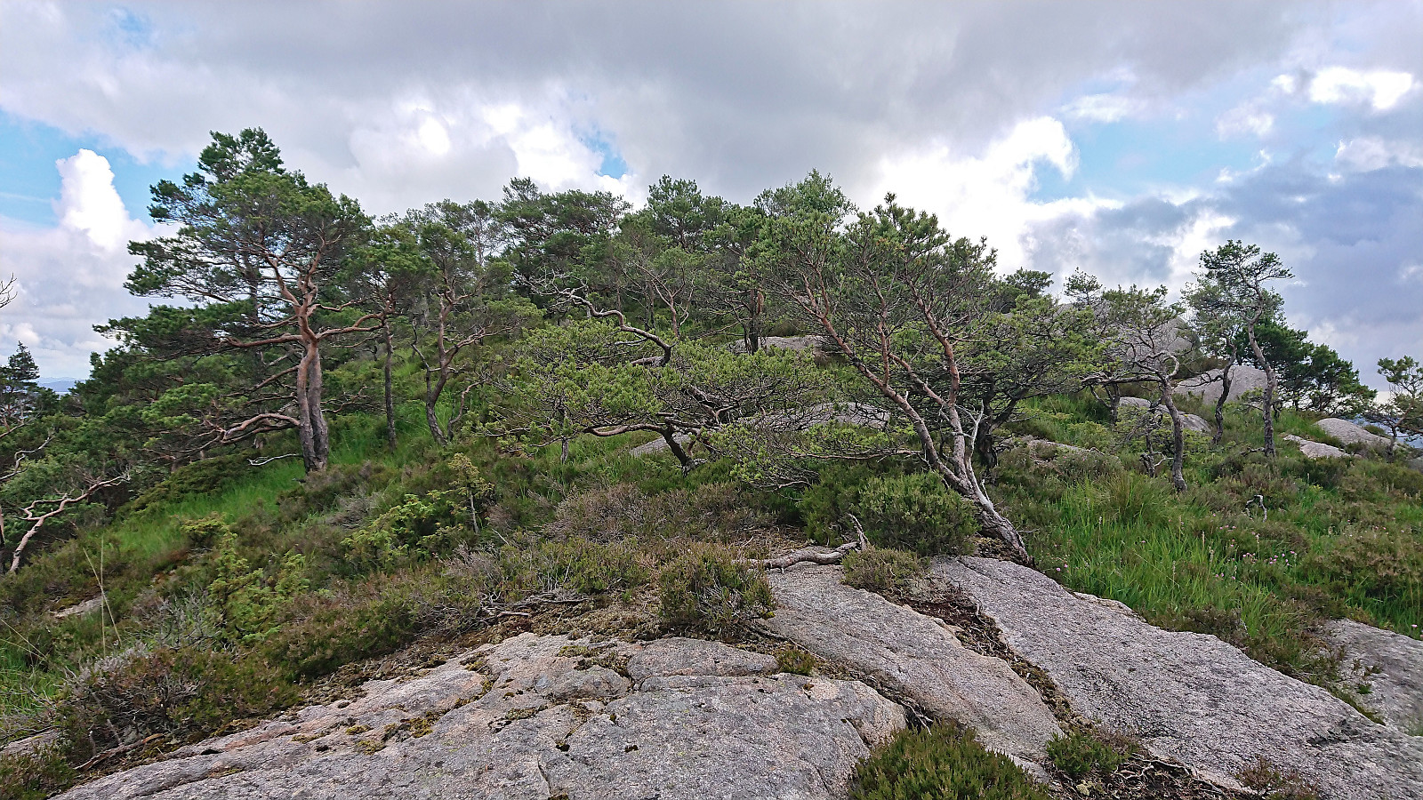
Shortly before returning to the gravel road, I made a quick detour to the summit of Kjetilsfjellet. This required a tiny bit of easy scrambling but was otherwise straightforward, however the views where limited.
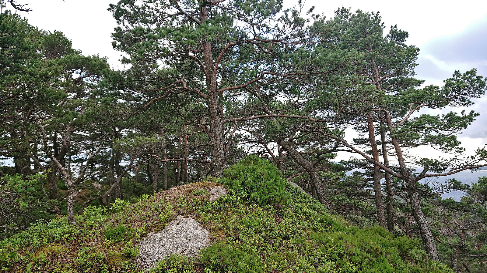
Back on the gravel road, I returned to the parking lot and continued on the paved road to Krokeide, before taking another short off-trail detour to the summit of Hendershaugen. My ascent route here may not have been the best, as I ended up using my hands more than I had expected. (The descent route was better.) Again the views were limited and I did not stick around for long before returning to the paved road and following it back to the main road for the bus home.
Overall, not the most interesting of hikes, even though the views from (just southwest of the summit of) Ramnaberget were very good. Similar or better views can however also be obtained from Veten, and then one can follow a trail all the way there. Hence, Ramnaberget, Kjetilsfjellet and Hendershaugen are definitely all more of an acquired taste and thus resulting in summits most hikers can simply ignore.
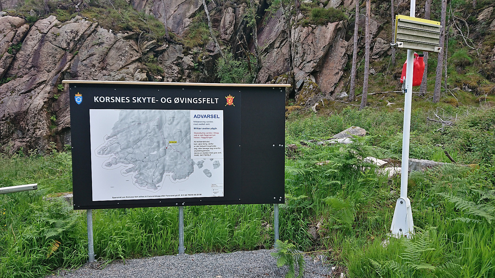
Please note that southwestern part of Korsneset, including the summits of Kjetilsfjellet and Hendershaugen, is off limits when the military uses the area for training purposes. Read the information sign (picture 13) next to the parking lot carefully!
| Starttidspunkt | 03.07.2022 16:14 (UTC+01:00 ST) |
| Sluttidspunkt | 03.07.2022 19:11 (UTC+01:00 ST) |
| Totaltid | 2t 57min |
| Bevegelsestid | 2t 46min |
| Pausetid | 0t 10min |
| Snittfart totalt | 3,4km/t |
| Snittfart bevegelsestid | 3,6km/t |
| Distanse | 10,0km |
| Høydemeter | 428m |

User comments