Five summits west and one east of Norddalen (24.04.2022)

| Startpunkt | Eksingedalsvegen/Trefall (505m) |
|---|---|
| Endpunkt | Eksingedalsvegen/Trefall (505m) |
| Tourcharakter | Tourenskilauf |
| Tourlänge | 8h 12min |
| Entfernung | 28,8km |
| Höhenmeter | 1.634m |
| GPS |
|
| Besteigungen | Belaskarhorgi (1.159m) | 24.04.2022 |
|---|---|---|
| Blåvasshorgi (1.065m) | 24.04.2022 | |
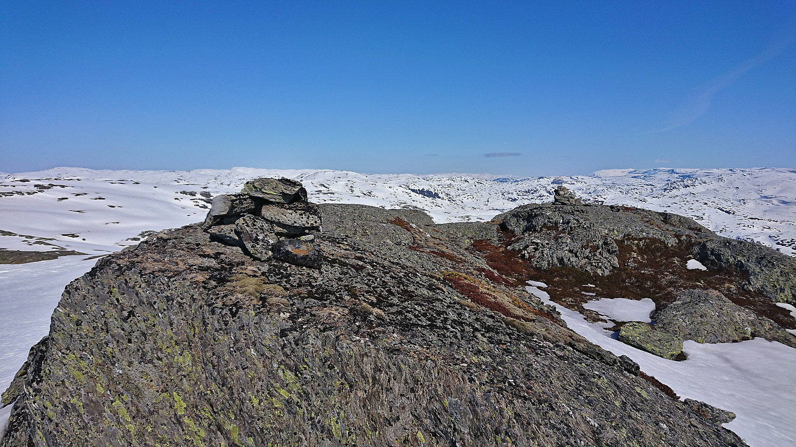
| Eggane (917m) | 24.04.2022 | |
| Sørvest for Hundeggi (1.117m) | 24.04.2022 | |
| Sørvest for Maraslottet (1.011m) | 24.04.2022 | |
| Trollahorgi (1.172m) | 24.04.2022 |
Five summits west and one east of Norddalen
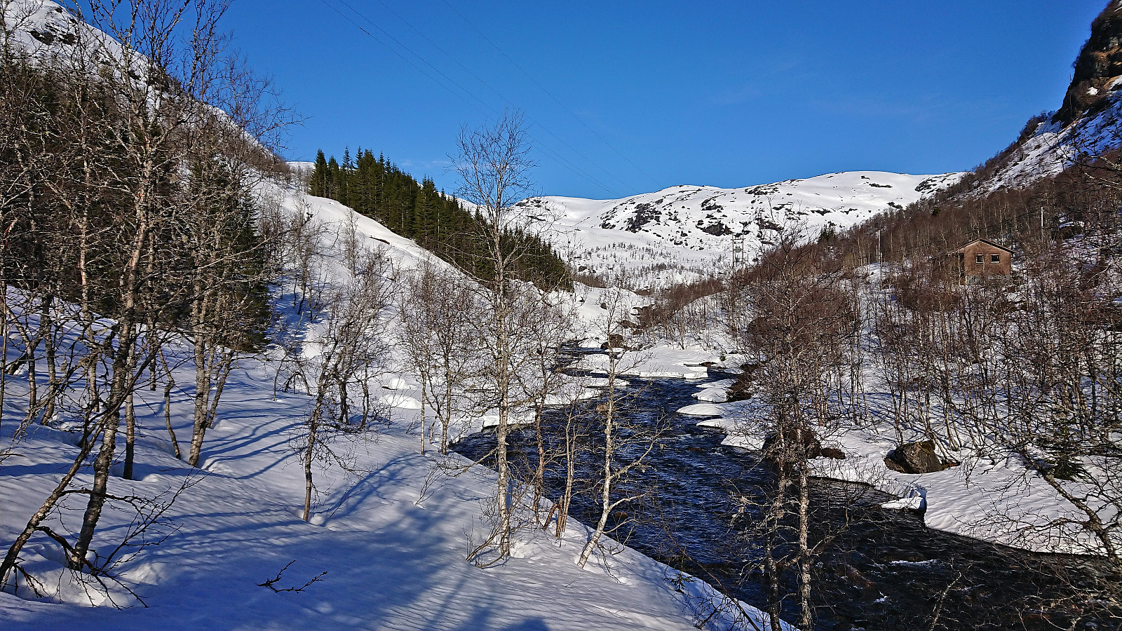
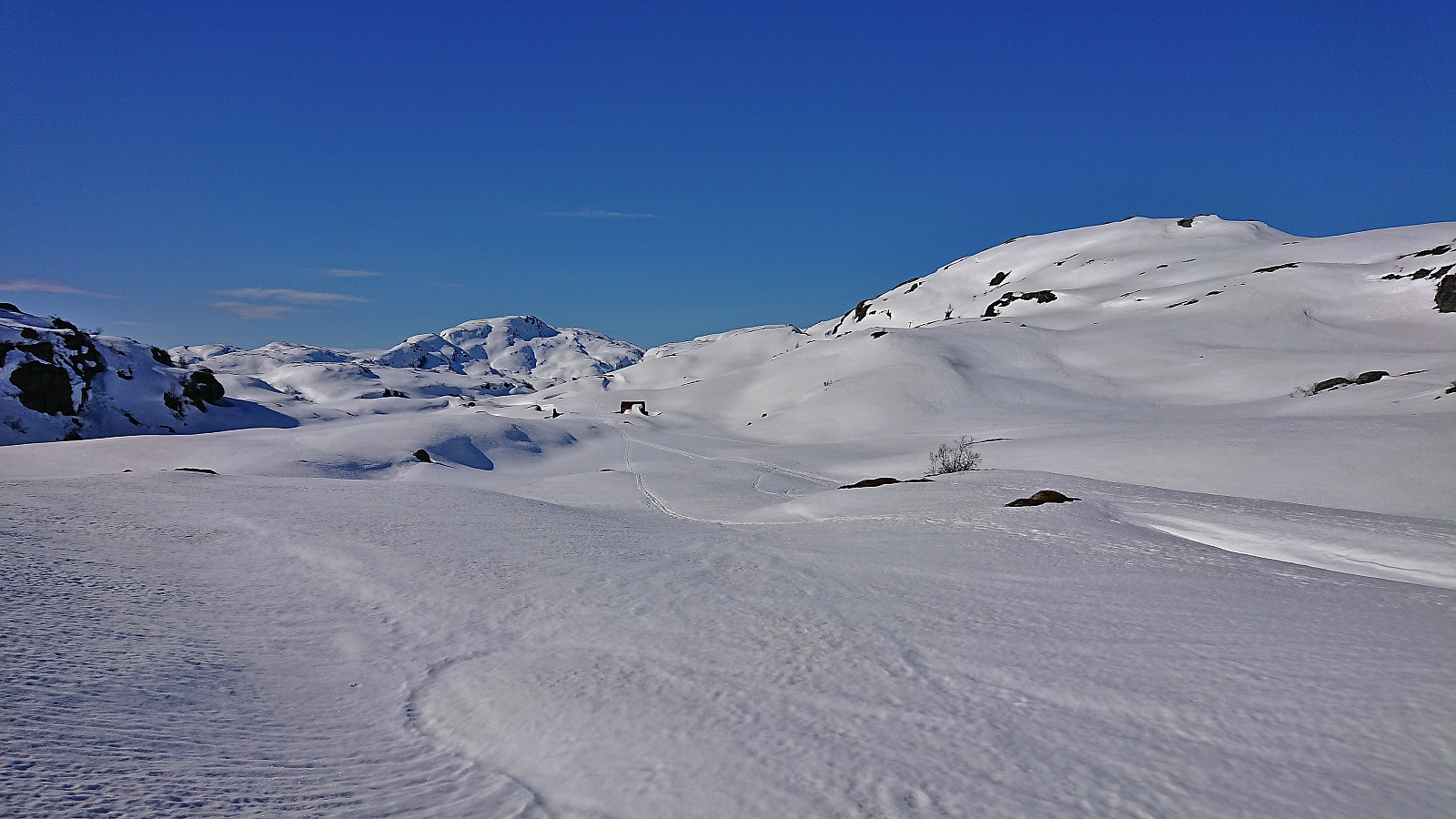
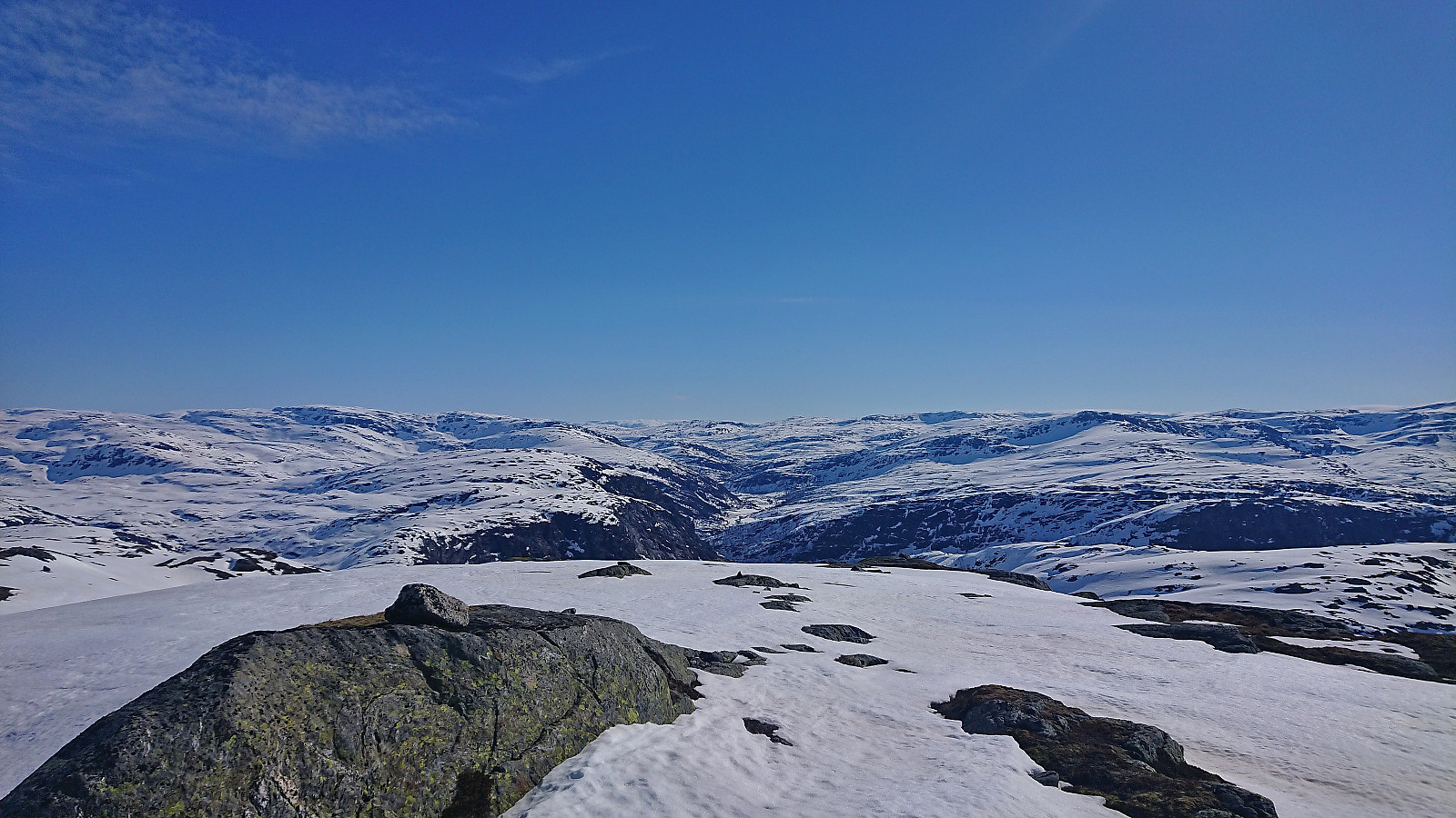
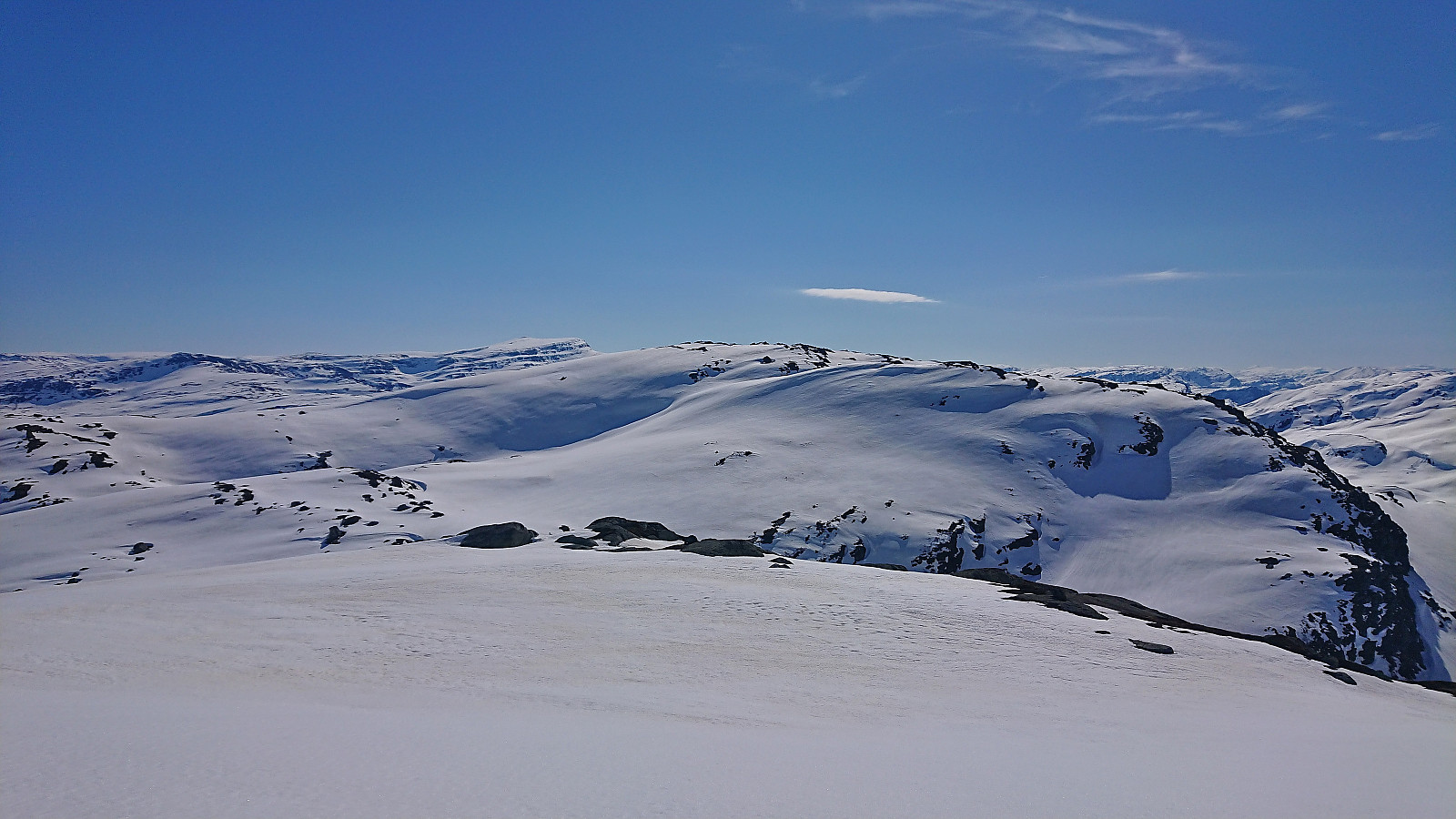
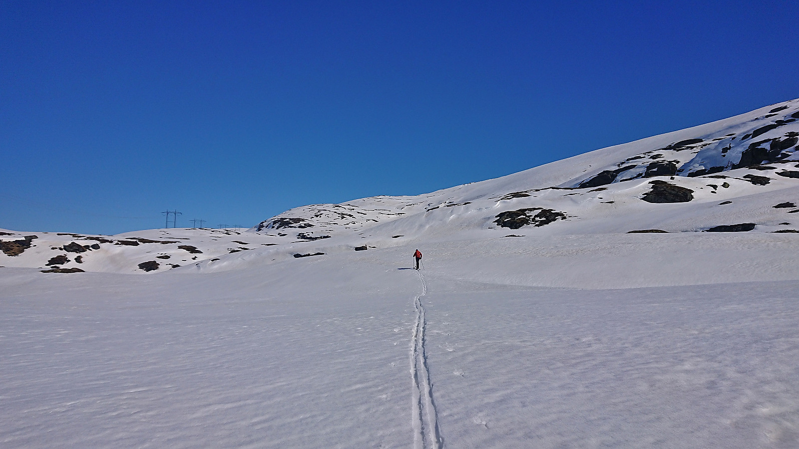
After spending Saturday at Varaldsøy with petter (Petter Bjørstad), we agreed to also take full advantage of the perfect weather forecast for the following Sunday. Petter therefore picked me up at 07:00 for a drive to Norddalen where the plan was to make use of the excellent skiing conditions to visit as many peaks as possible, mainly on the west side of the valley. Upon arriving, the sun was shining from a cloudless blue sky and there was next to no wind. Plenty of snow still in the area and after finding parking next to the road, the skis could be put on as soon as we left the road.
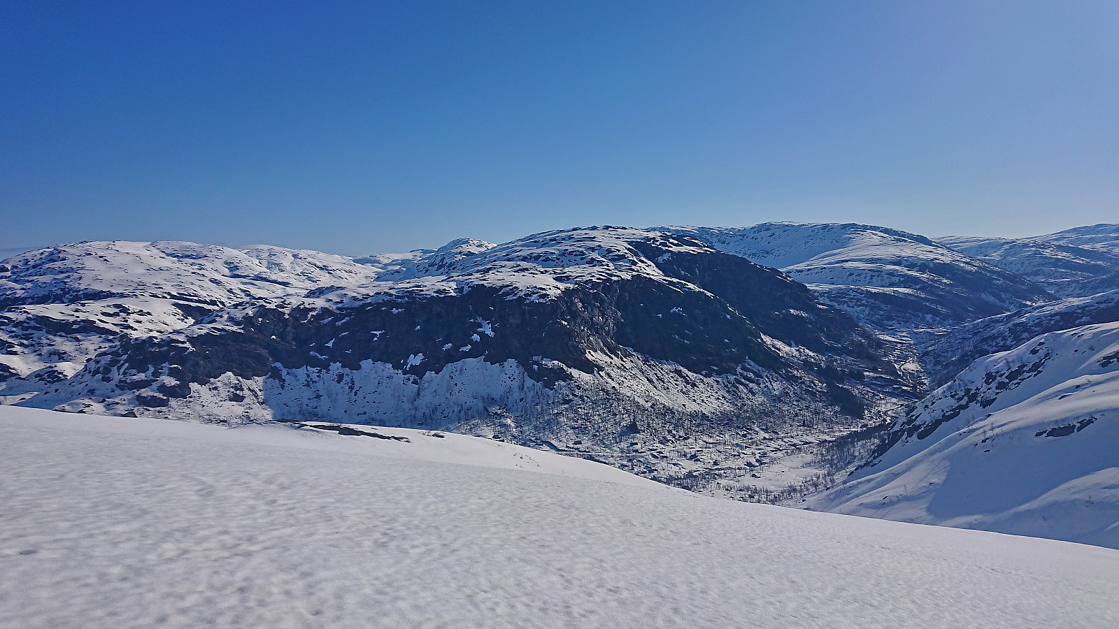
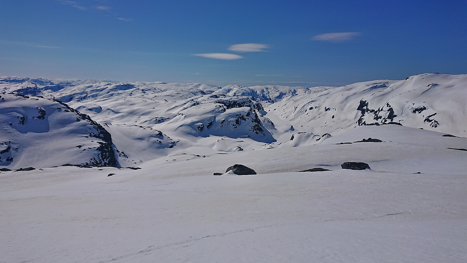
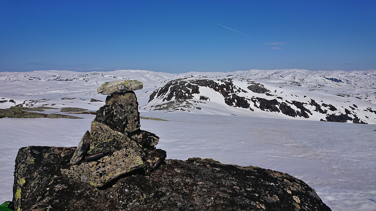
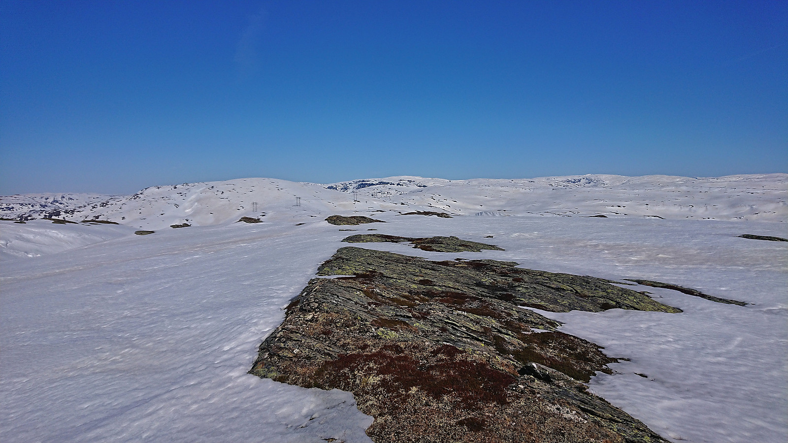
We first followed the valley on the west side of the river, before finding a safe and straightforward ascent to the summit of Eggane. From there we struggled a bit to find the best route down to Martastølen, as there were a couple of steep areas to avoid, especially this early in the morning when the snow was quite hard and icy. But after a bit of searching, we managed to find a good route.
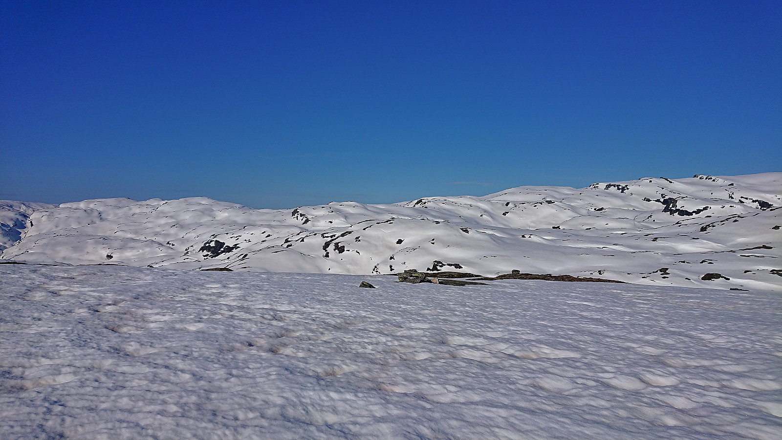
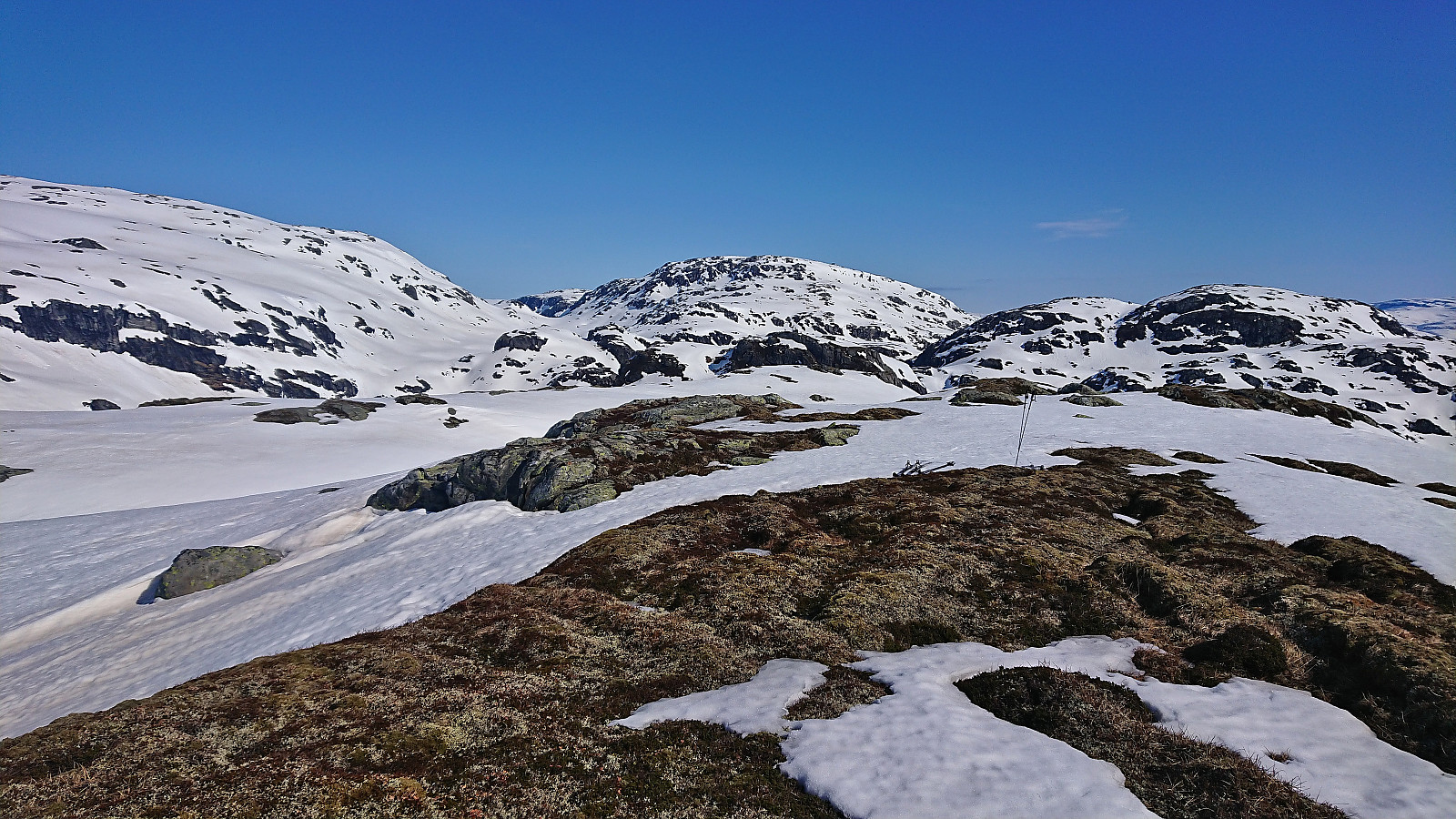
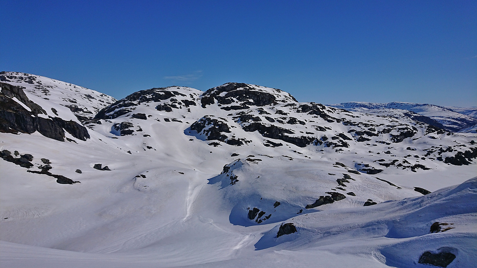
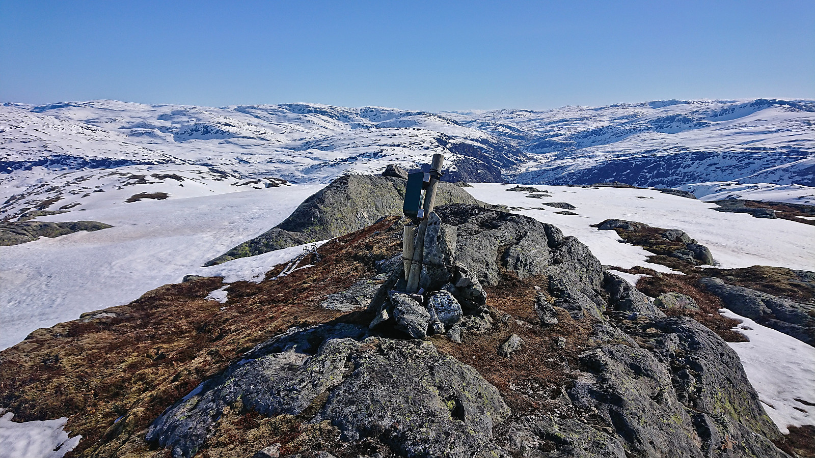
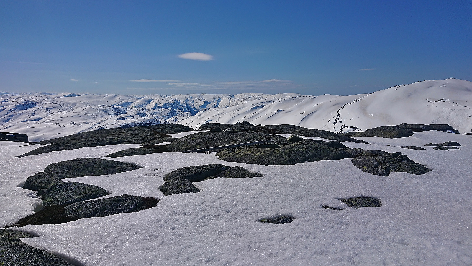
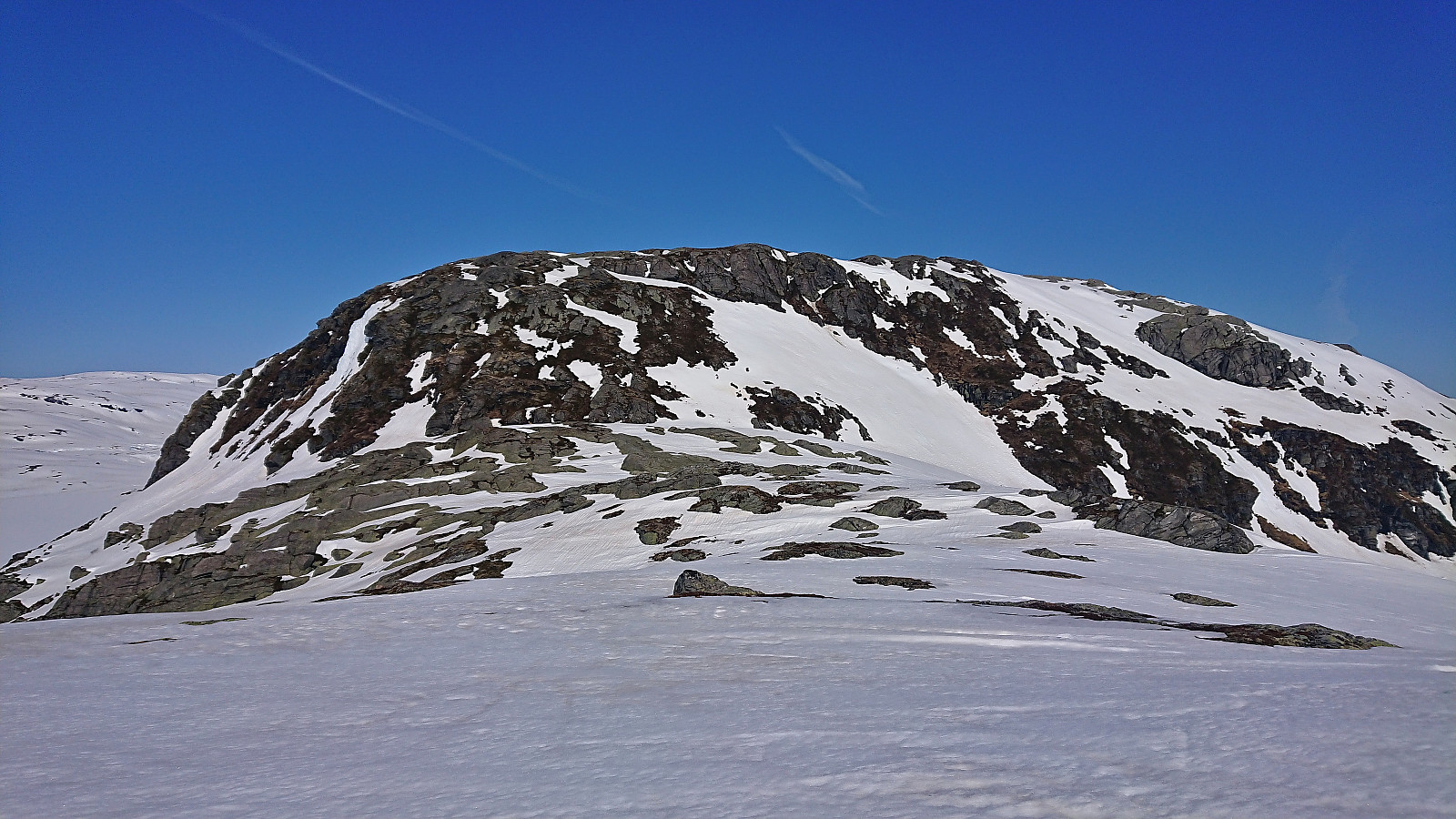
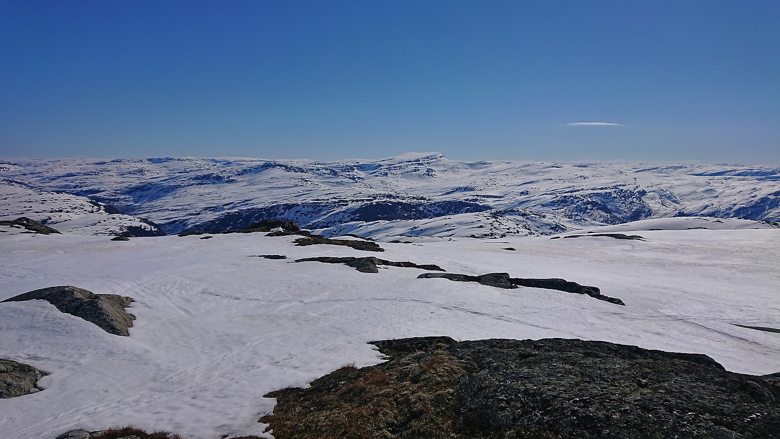
Getting from Martastølen to SV av Maraslottet also required a bit of clever use of the terrain, but did not present any real challenges. From SV av Maraslottet we also had a good overview of Blåvasshorgi and could easily plan a good route to the summit, which again was reached without any issues. Next, we continued to Trollahorgi, which initially was straightforward, but required a bit maneuvering to avoid the steepest areas. (Note that PB places the summit of Trollahorgi at the trig marker, but the highest point is clearly about 130 meters further east.)
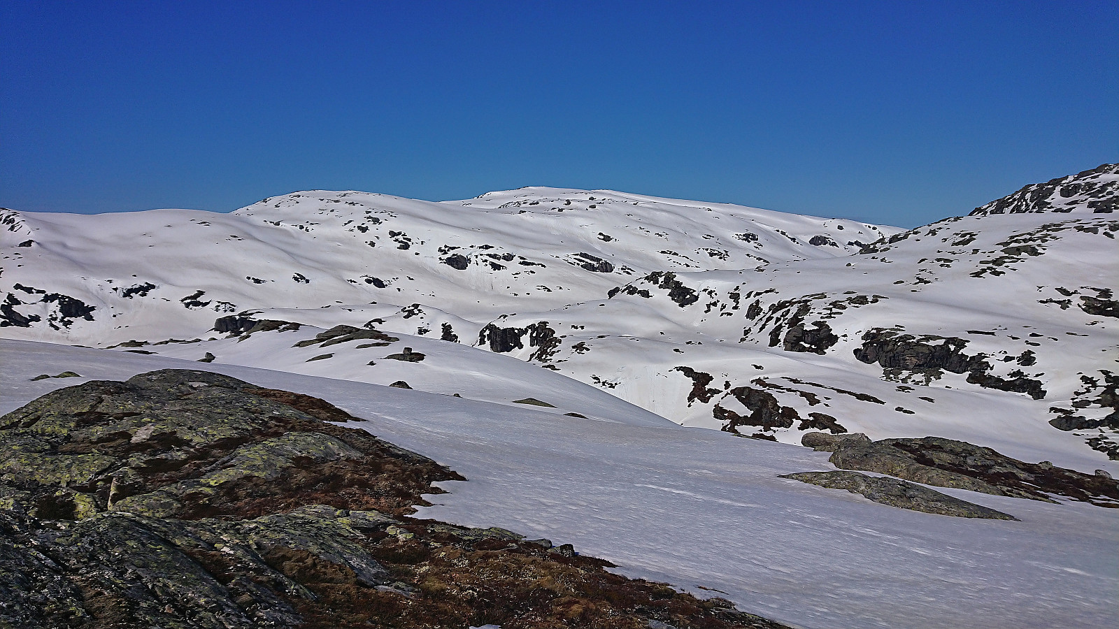
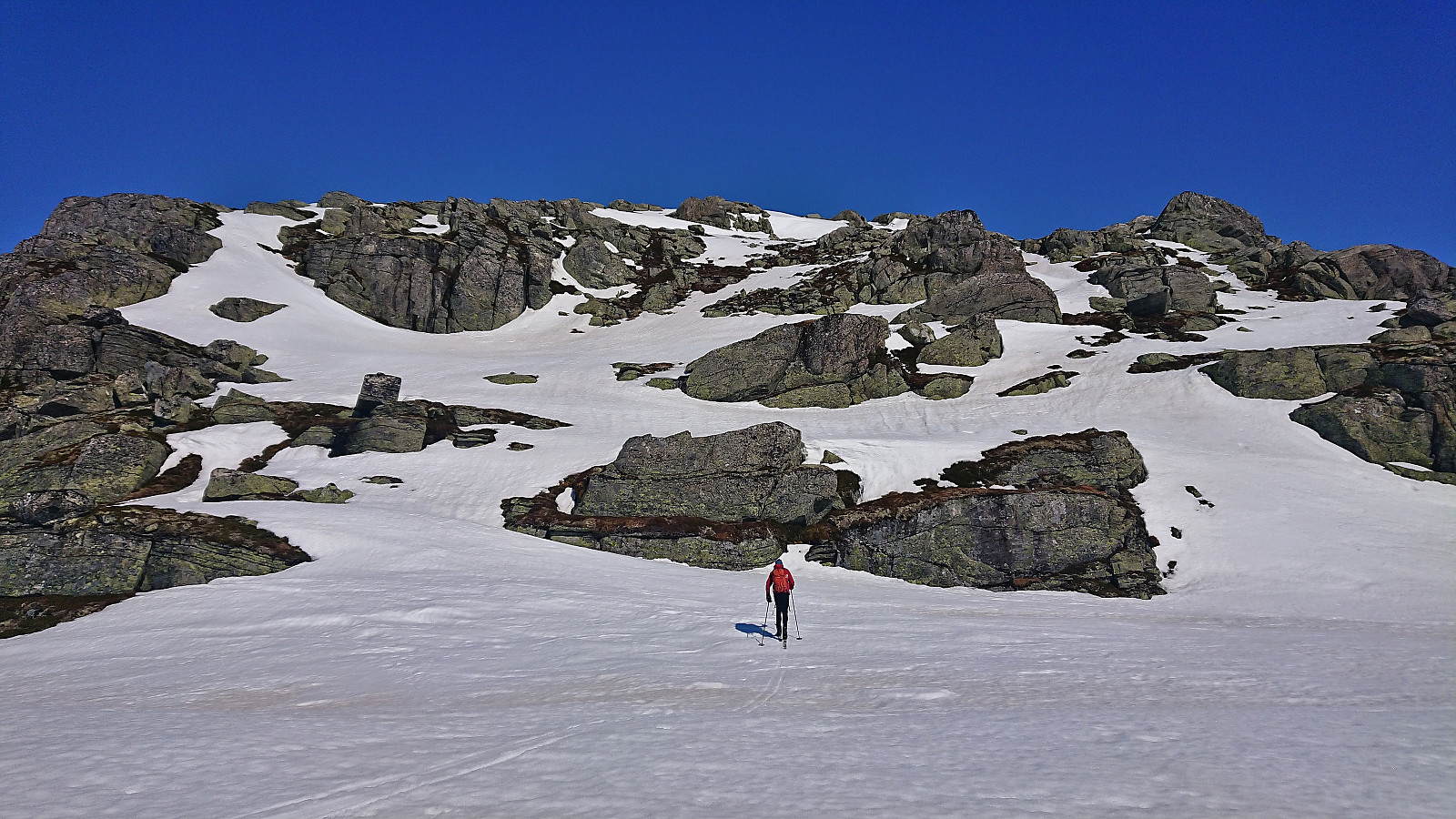
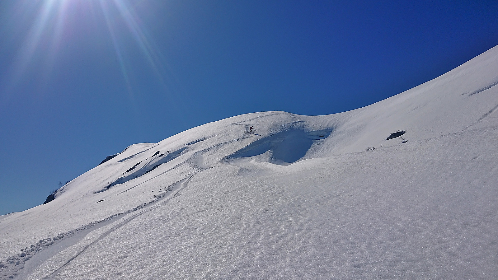
After descending into the valley north of Trollahorgi, it was time to ascend to the fifth summit of the day, namely Belaskardhorgi. This required a bit more ingenuity, as the southern face of Belaskardhorgi was relatively steep. In the end, we shortly took off the skies and traversed the steepest snowless section on foot, before putting the skis back in for the flatter summit area.
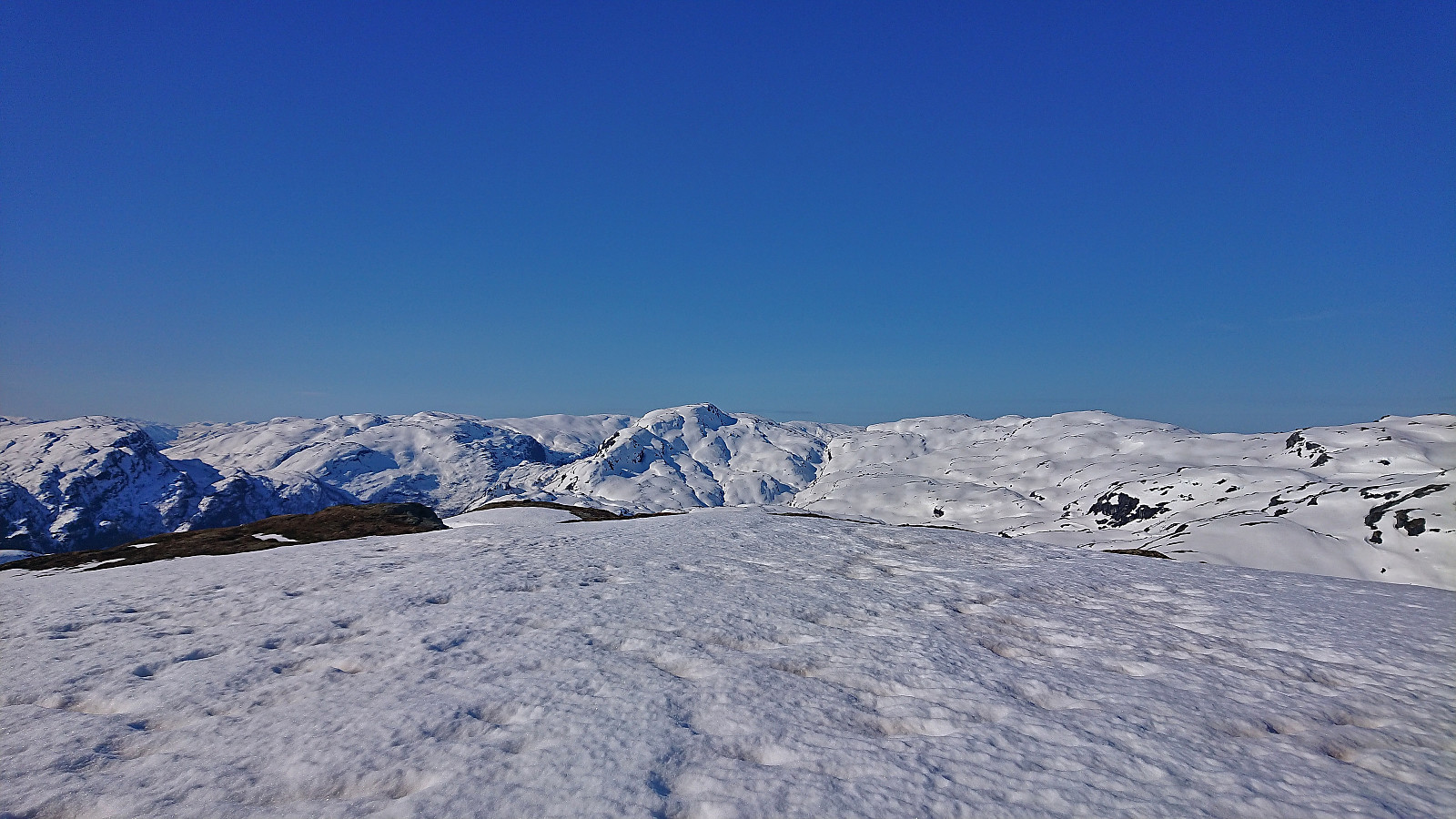
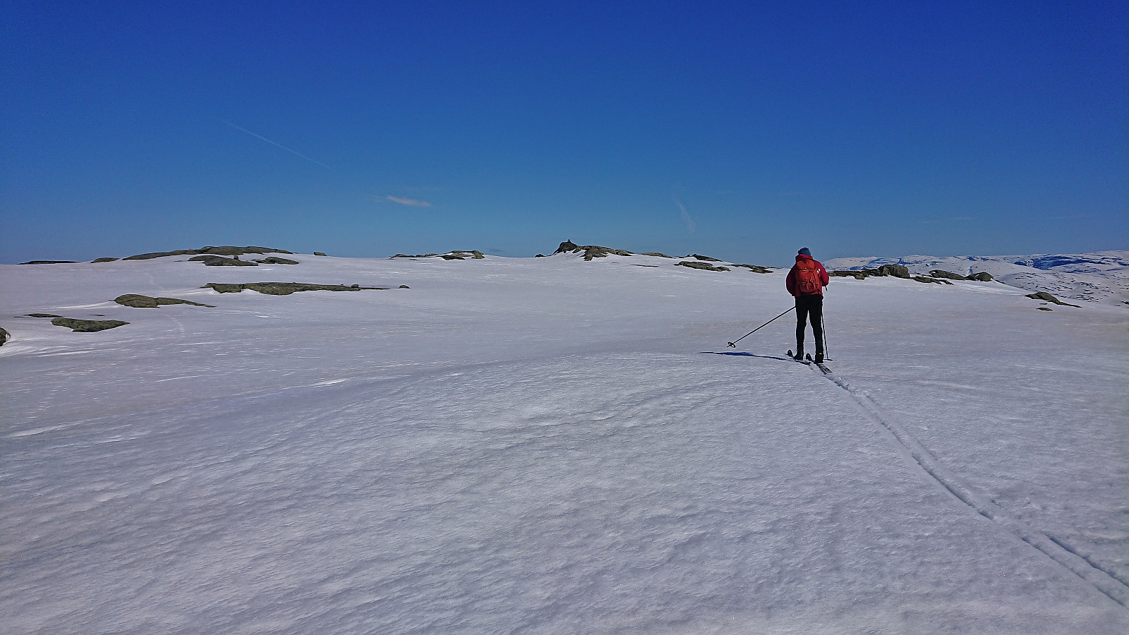
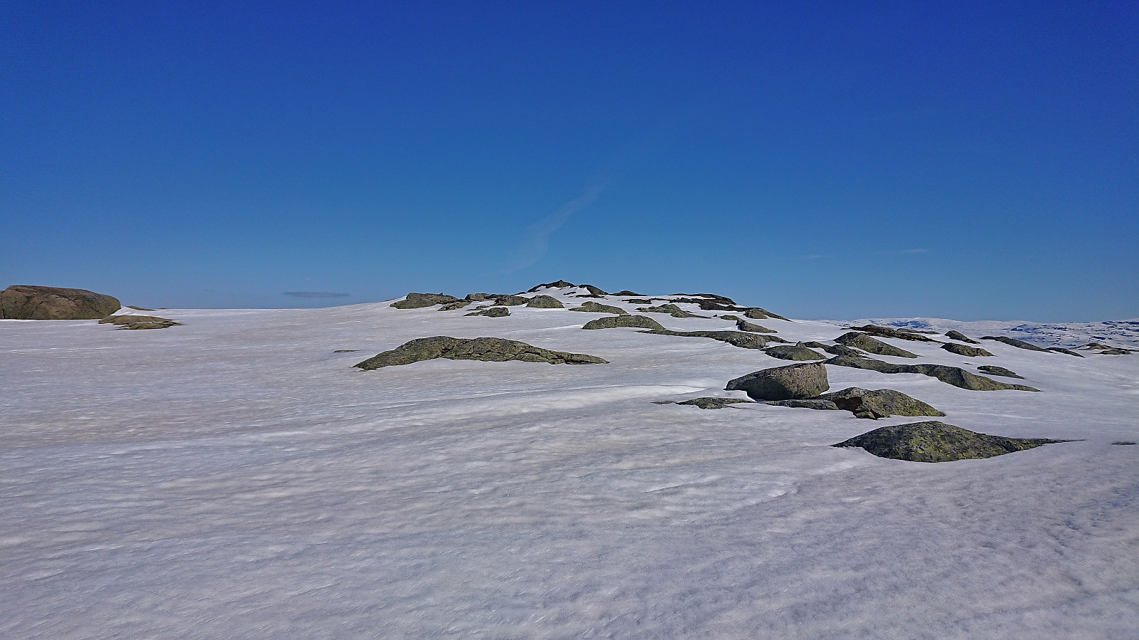
Having completed the planned five summits west of Norddalen, we headed for the dam at the southern end of Askjelldalsvatnet, thinking that we could use it to safely get to the other side of the river for one final summit: SV av Hundeggi. Getting to the dam was straightforward until we reached a steep section at the very end. However, after a closer inspection we found a safe way to descend that avoided the steepest areas.
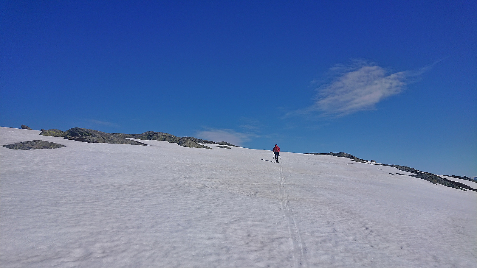
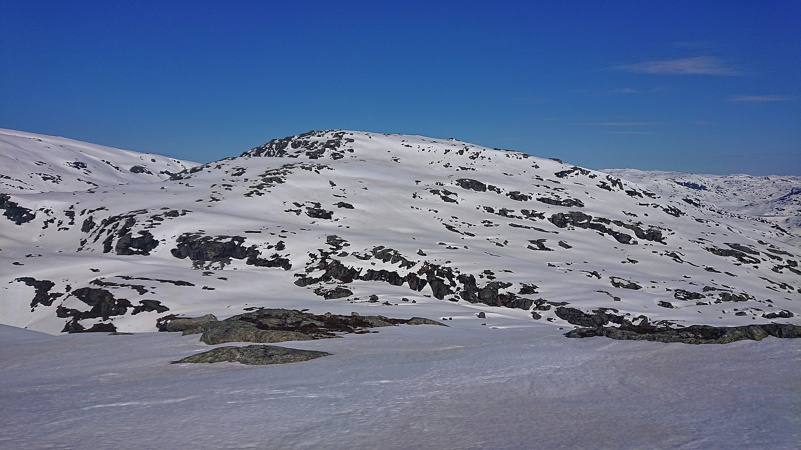
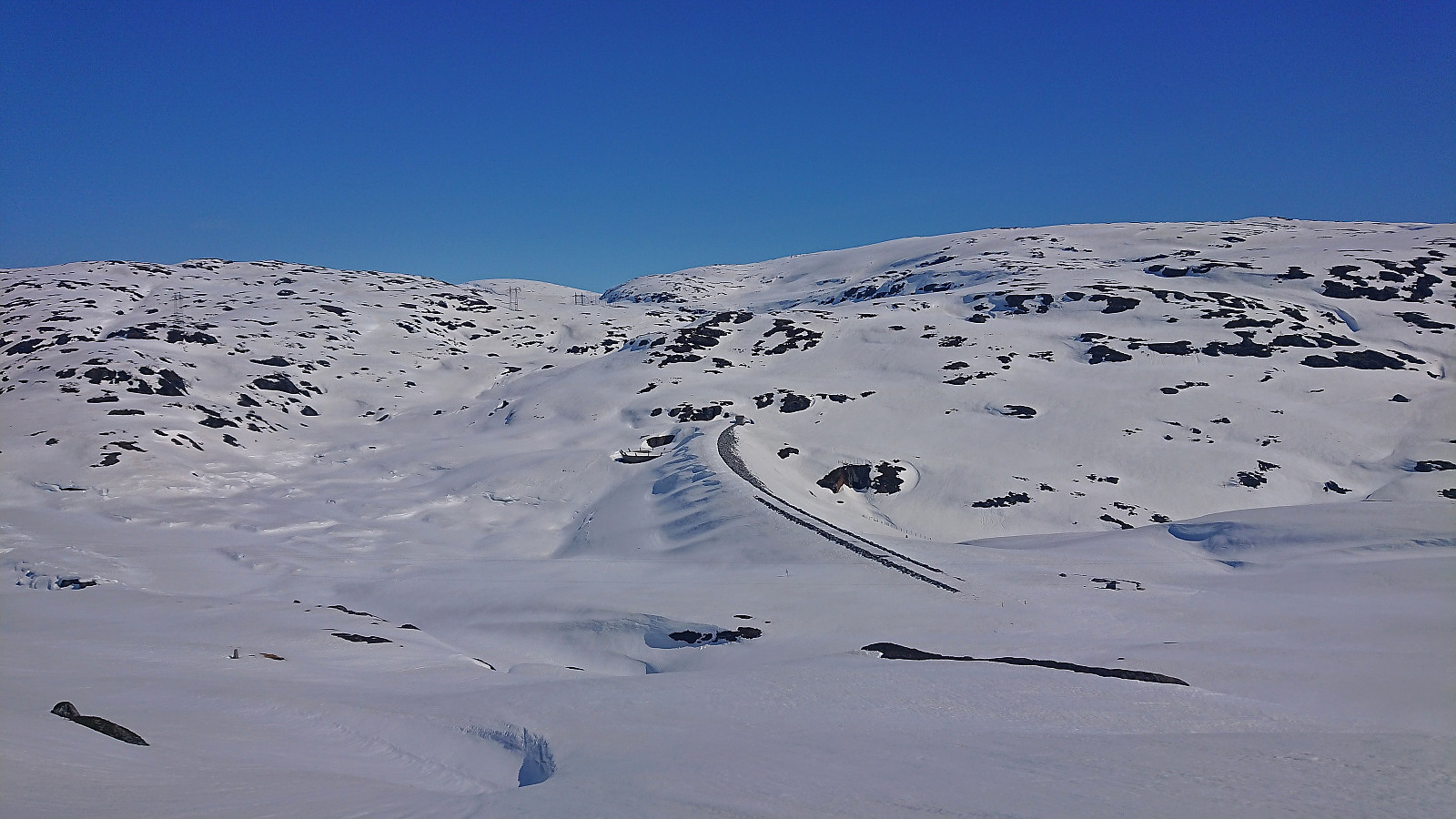
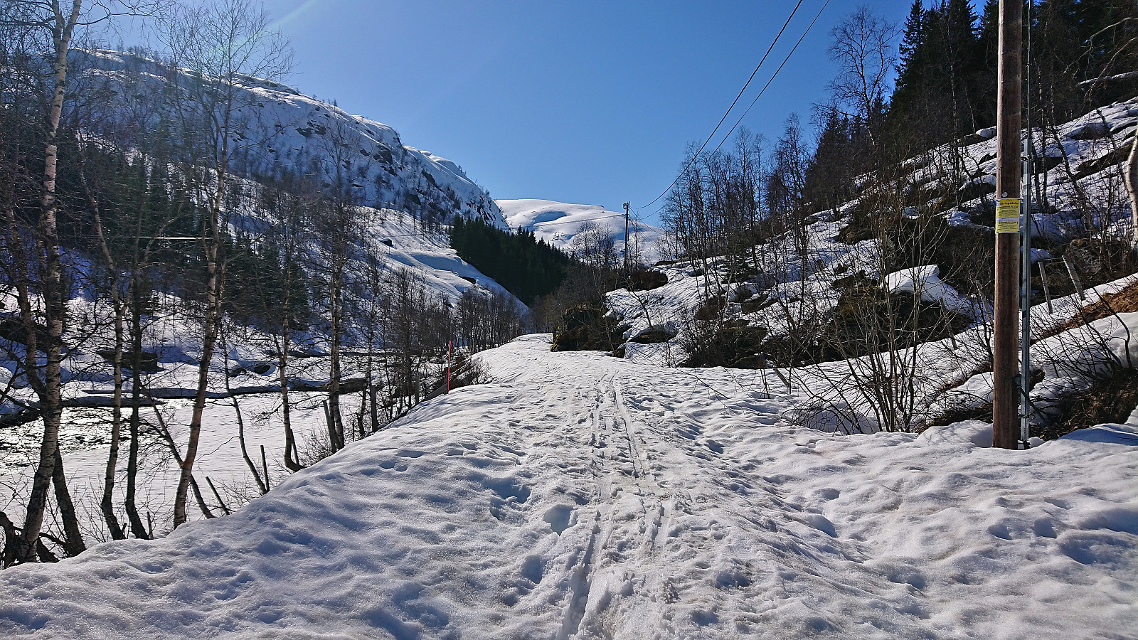
The long continuous ascent to SV av Hundeggi was tougher than expected, but most likely mainly due to coming at the end of a long day of skiing (and a long day of hiking the day before). But the reward was the following long descent back to the car, only interrupted by some suboptimal navigation northeast of Beinhellerhaugane were we hit local terrain that was clearly too steep to ski. But with a bit of searching, we managed to find a good route with only a minimal amount of backtracking, and soon we even came across recent tracks of other skiers that greatly simplified the final part of our descent to the gravel road in Norddalen, which we could then follow all the way back to the car.
In summary, a long but excellent trip in an area that probably does not see too many visitors. At least we did not see anyone for the entire hike until at the very end and only limited traces of previous skiers. Finally, it should be noted while almost all of our route avoided terrain steeper than 30 degrees, except for a couple of places where there was little to no snow, one should always pay attention to the snow and weather conditions and plan a route accordingly.
For additional pictures and information, you can find Petter's external trip report here.

| Startzeitpunkt | 24.04.2022 08:37 (UTC+01:00 SZ) |
| Endzeitpunkt | 24.04.2022 16:50 (UTC+01:00 SZ) |
| Gesamtzeit | 8h 12min |
| Zeit in Bewegung | 6h 25min |
| Pausenzeit | 1h 47min |
| Gesamtschnitt | 3,5km/h |
| Bewegungsschnitt | 4,5km/h |
| Entfernung | 28,8km |
| Höhenmeter | 1.634m |

Benutzerkommentare