Brydalsfjellet from Fossen (28.11.2021)

| Start point | Fossen (356m) |
|---|---|
| Endpoint | Fossen (356m) |
| Characteristic | Hillwalk |
| Duration | 2h 02min |
| Distance | 5.6km |
| Vertical meters | 430m |
| GPS |
|
| Ascents | Brydalsfjellet (762m) | 28.11.2021 |
|---|
Brydalsfjellet from Fossen
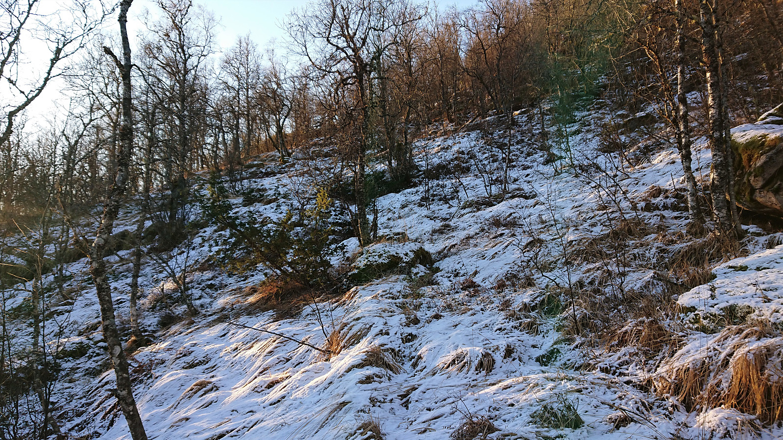
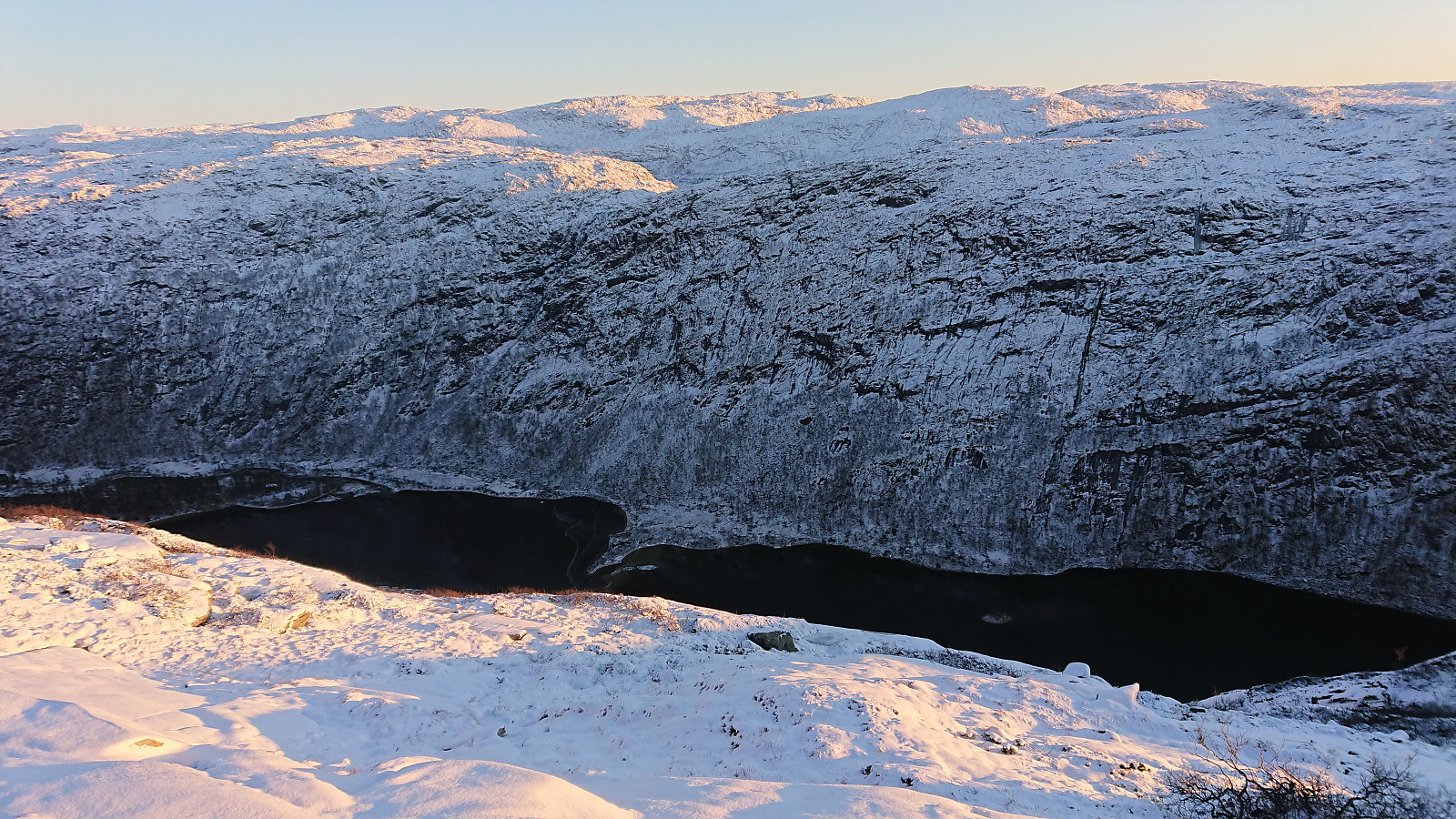
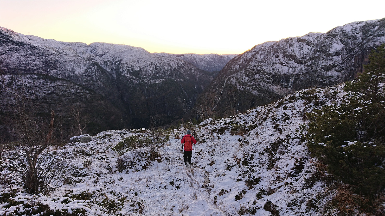
After our visit of Bjørnshiklanten, me and petter (Petter Bjørstad) figured out that we had to make the best out of the excellent weather and decided to also include a visit of Brydalsfjellet. We parked next to the vantage point beside the road overlooking the waterfall at Fossen, and from there basically followed in the footsteps of GeirL (Geir Lie) (see his report here).
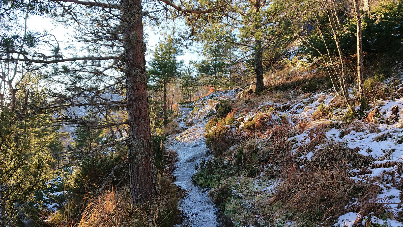
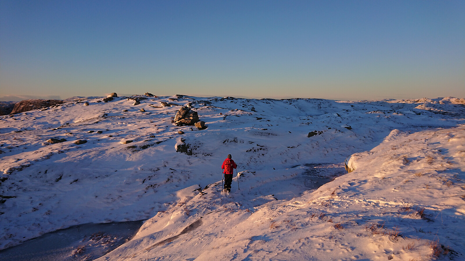
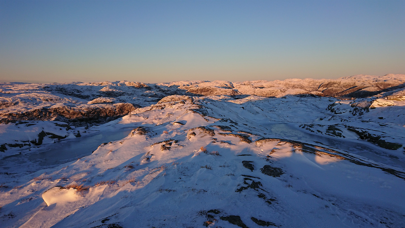
Initially the trail was very weak, but it soon became clear that we were actually following a trail, and it would overall have been easy to follow if it had not been for the ice. We therefore had to go a bit slow and careful at the start until the trail turned northeast towards the summit. The trail seemed to continue up the ridge, but given that it was largely hidden underneath the snow it was a bit hard to tell. We were therefore thankfull when we met another hiker coming the other way, as we could then follow in his footsteps instead.
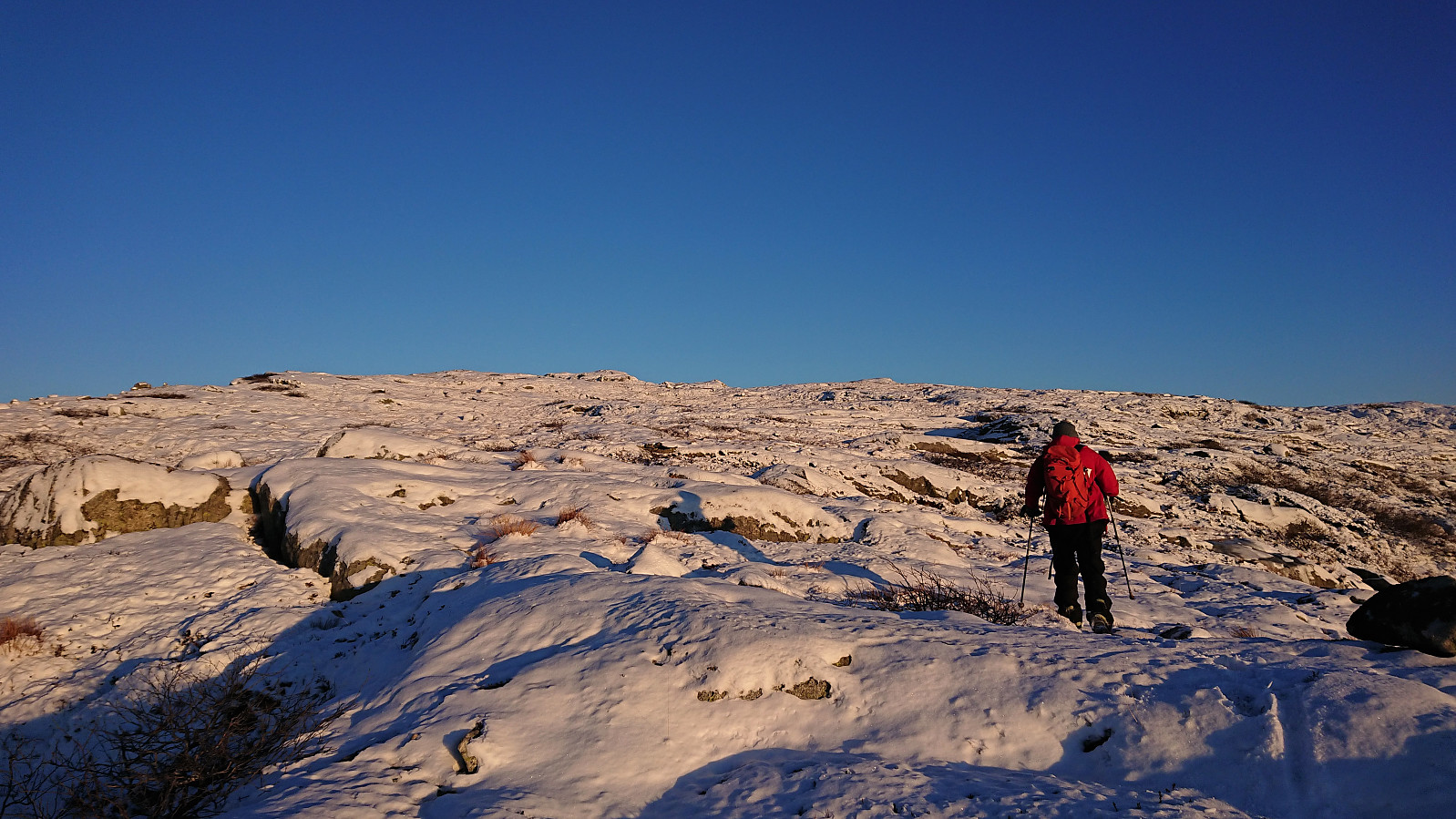
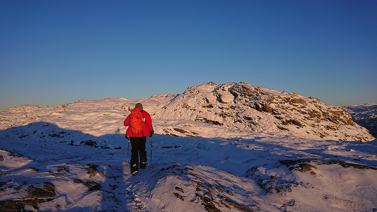
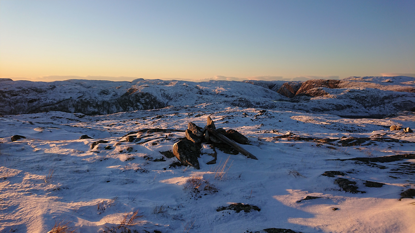
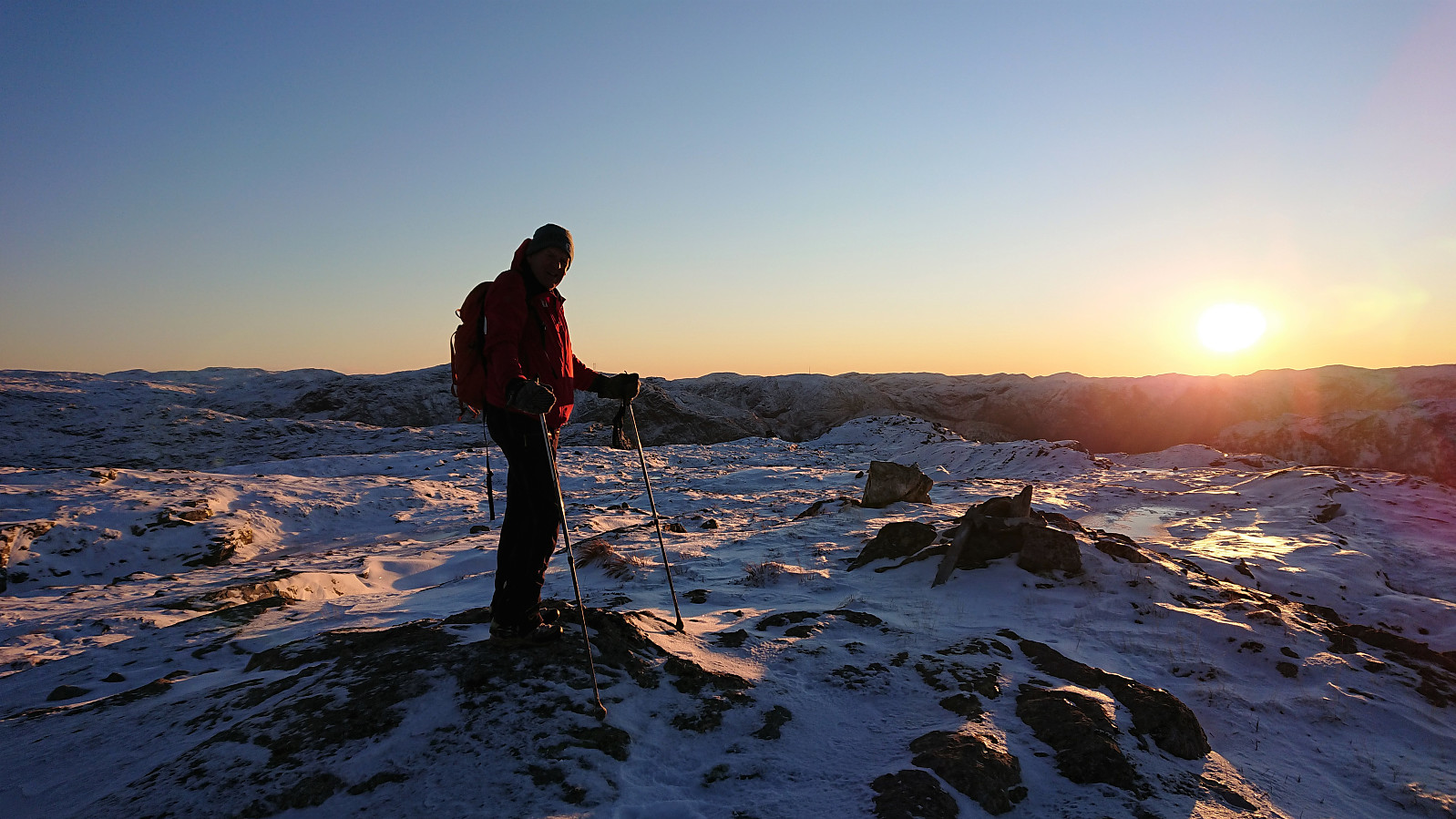
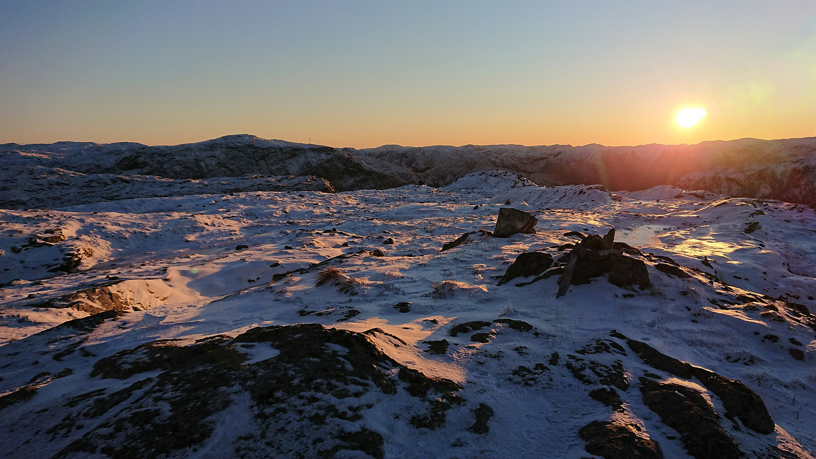
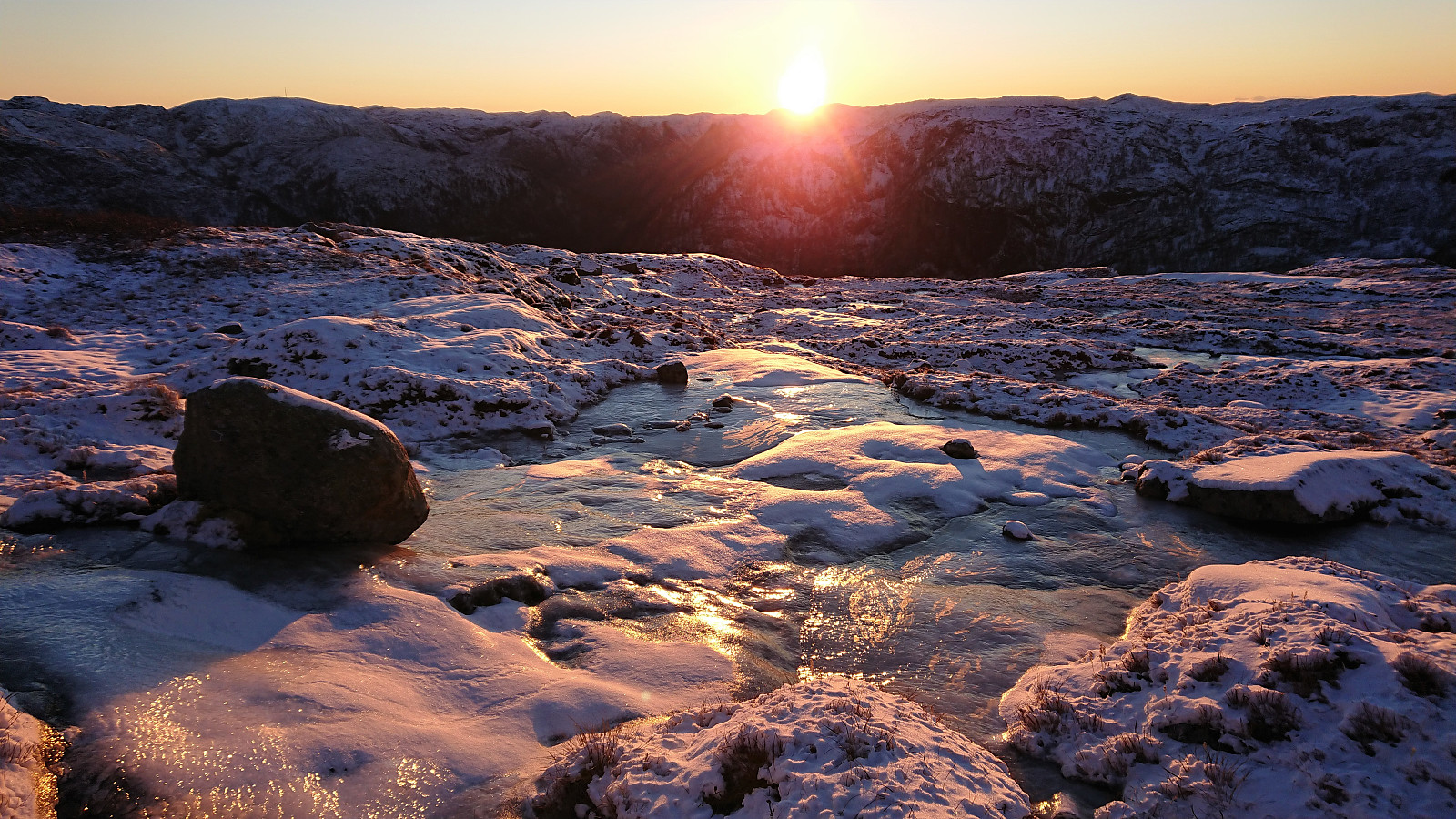
After a brief steeper section, that could still be traversed without any scrambling if following the trail/footsteps, the terrain levelled off and from there on it was easy to make progress towards the summit. The footsteps we were following however did not head for the summit and we had to make our own way at the end. Excellent views from the summit as the sun was setting behind Tverrfjellet to the southeast.
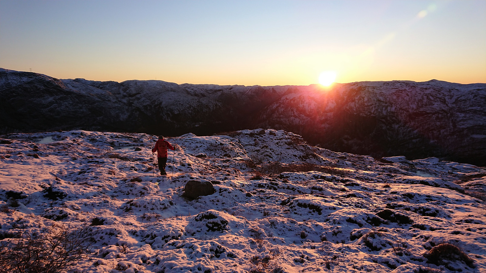
From the summit we descended more or less along the same route, but at the start in a straighter line than the footsteps we had been following when ascending, and again taking extra care with the icy trail when getting closer to the road.
In summary, an excellent short hike that can be highly recommended.

| Start date | 28.11.2021 13:53 (UTC+01:00) |
| End date | 28.11.2021 15:55 (UTC+01:00) |
| Total Time | 2h 02min |
| Moving Time | 2h 01min |
| Stopped Time | 0h 1min |
| Overall Average | 2.7km/h |
| Moving Average | 2.8km/h |
| Distance | 5.6km |
| Vertical meters | 430m |

User comments