Roundtrip to the four summits north of Storavatnet (13.11.2021)

| Start point | Storavatnet ved Engleberget (703m) |
|---|---|
| Endpoint | Storavatnet ved Engleberget (703m) |
| Characteristic | Hillwalk |
| Duration | 7h 37min |
| Distance | 19.1km |
| Vertical meters | 1,104m |
| GPS |
|
| Ascents | Inste Kvitevasseggene (914m) | 13.11.2021 |
|---|---|---|
| Storevassegga (1,045m) | 13.11.2021 | |
| Storhogen (914m) | 13.11.2021 | |
| Sødalseggene (1,027m) | 13.11.2021 |
Roundtrip to the four summits north of Storavatnet
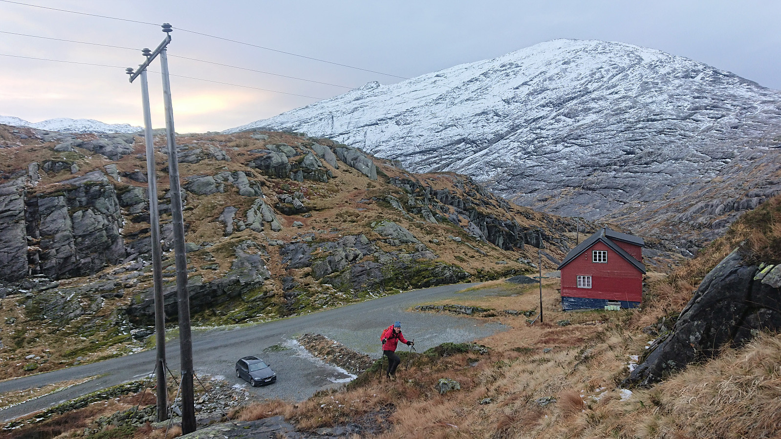
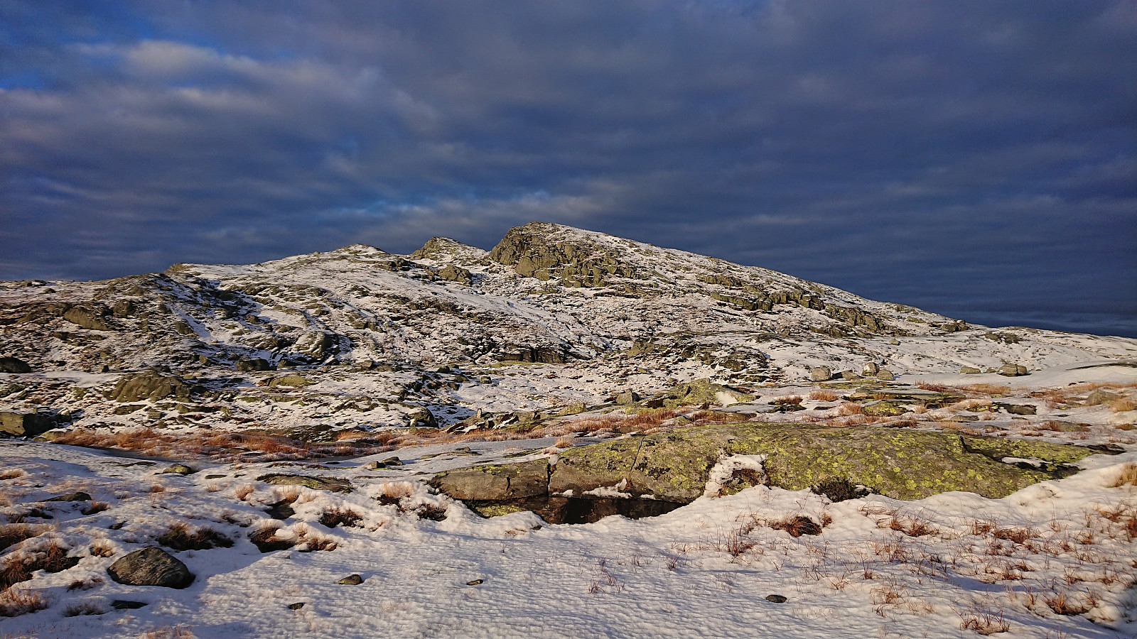
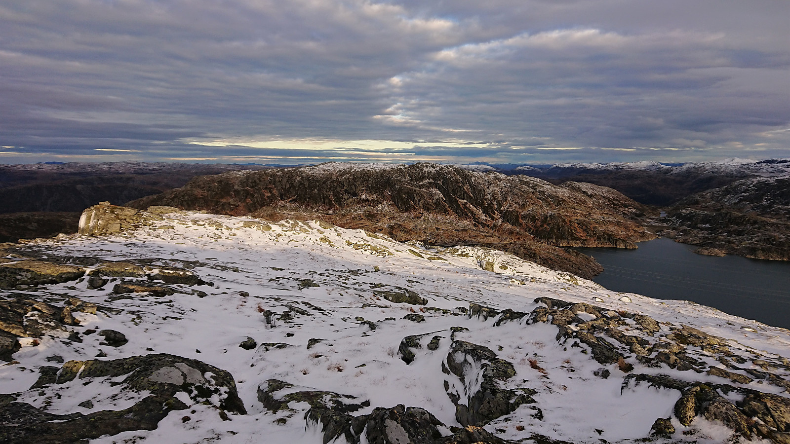
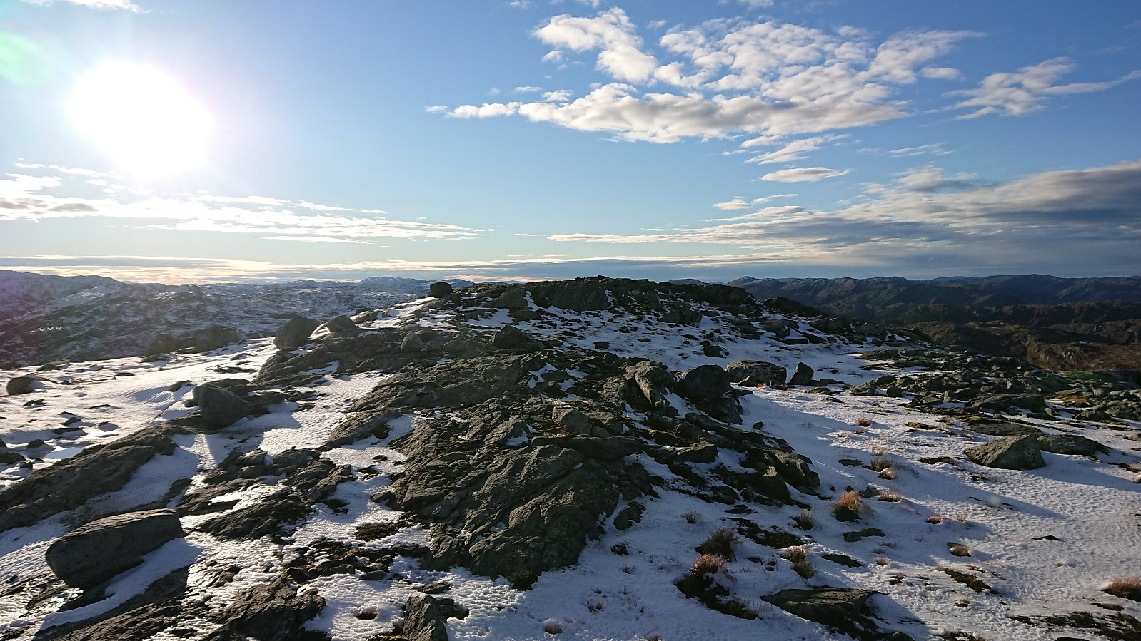
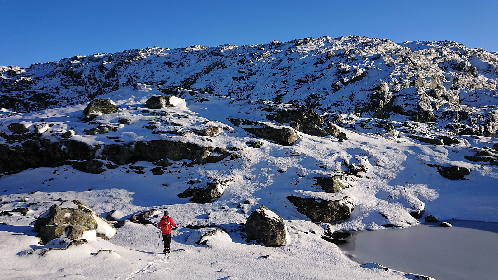
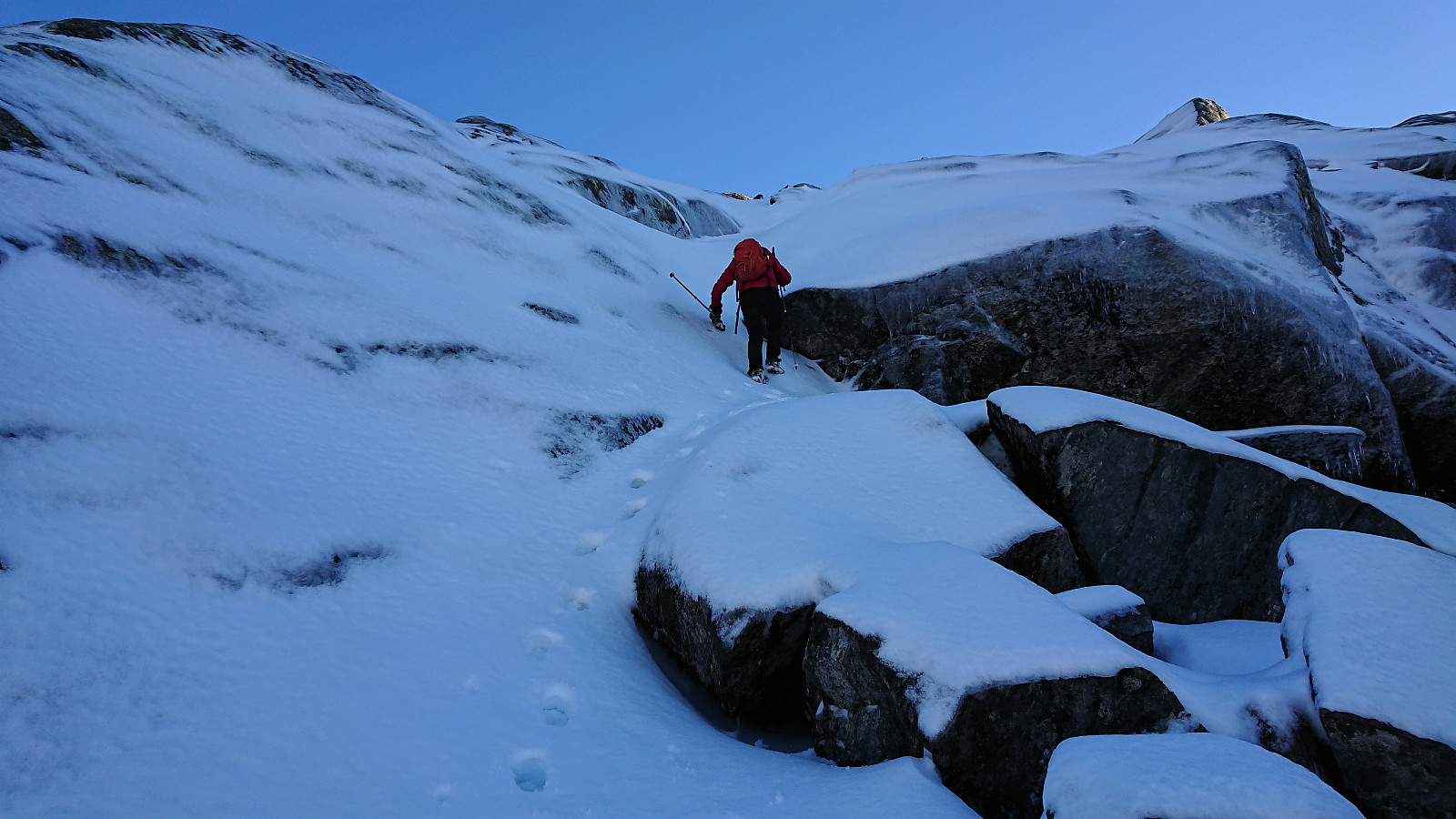
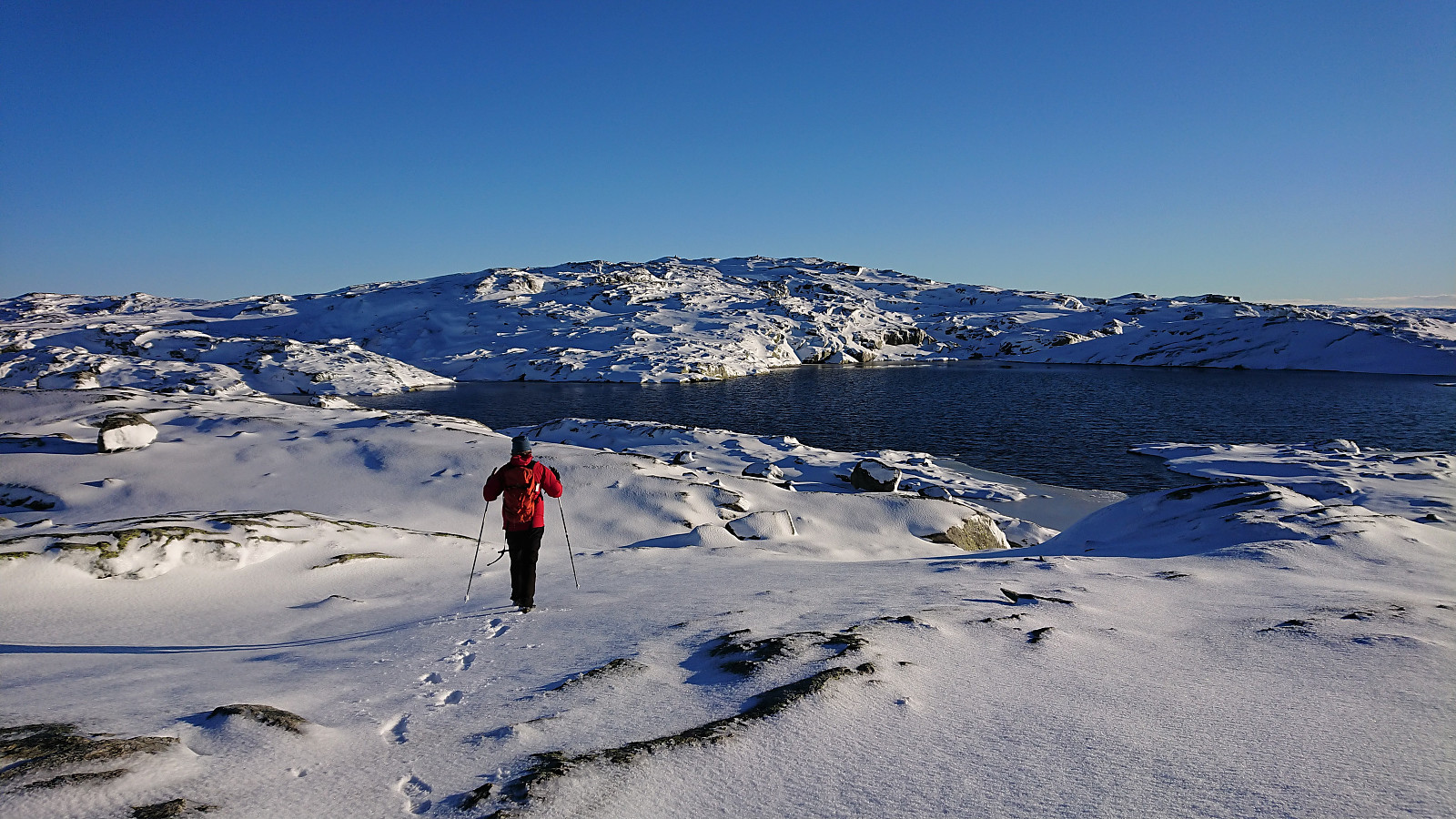
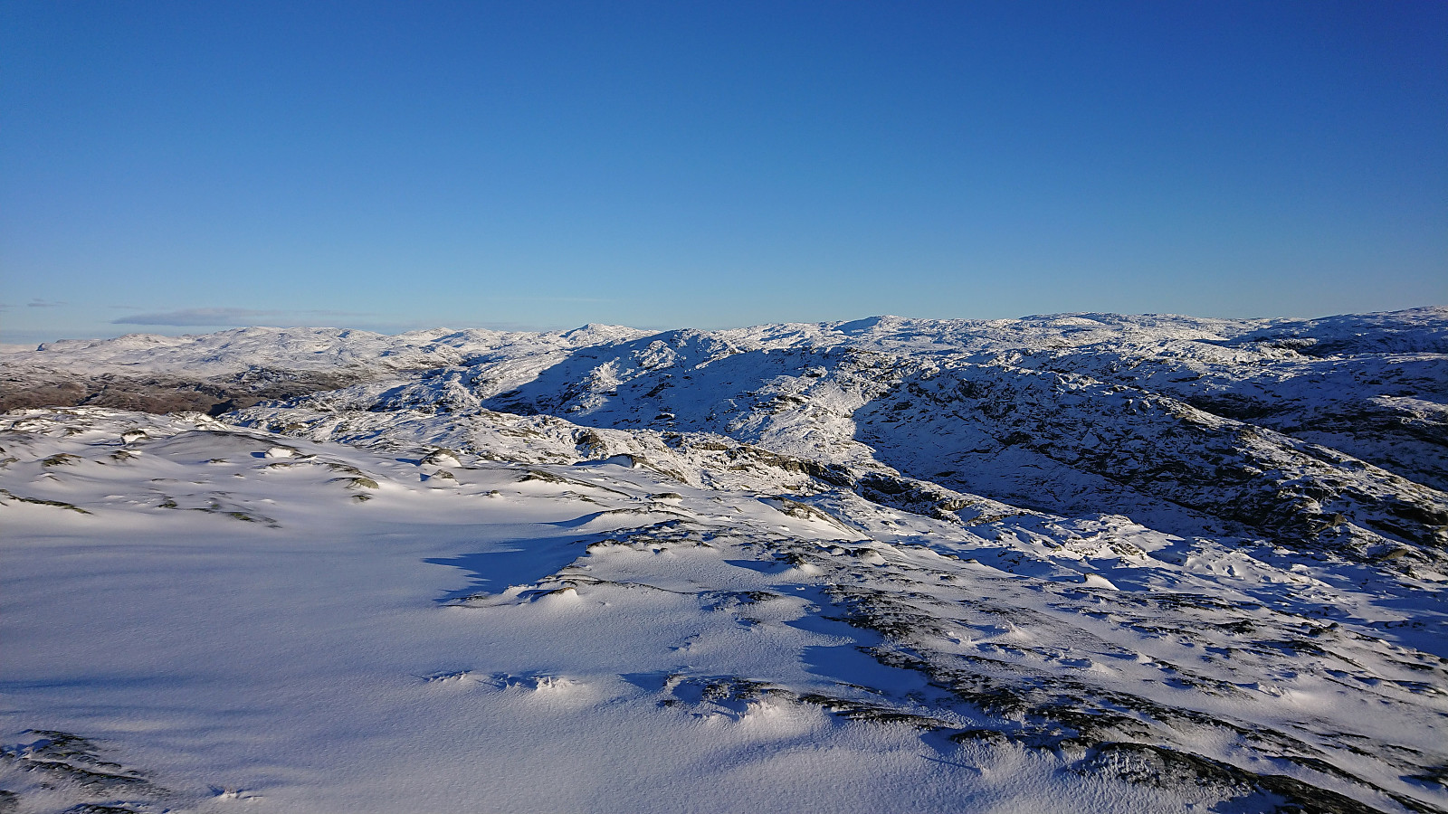
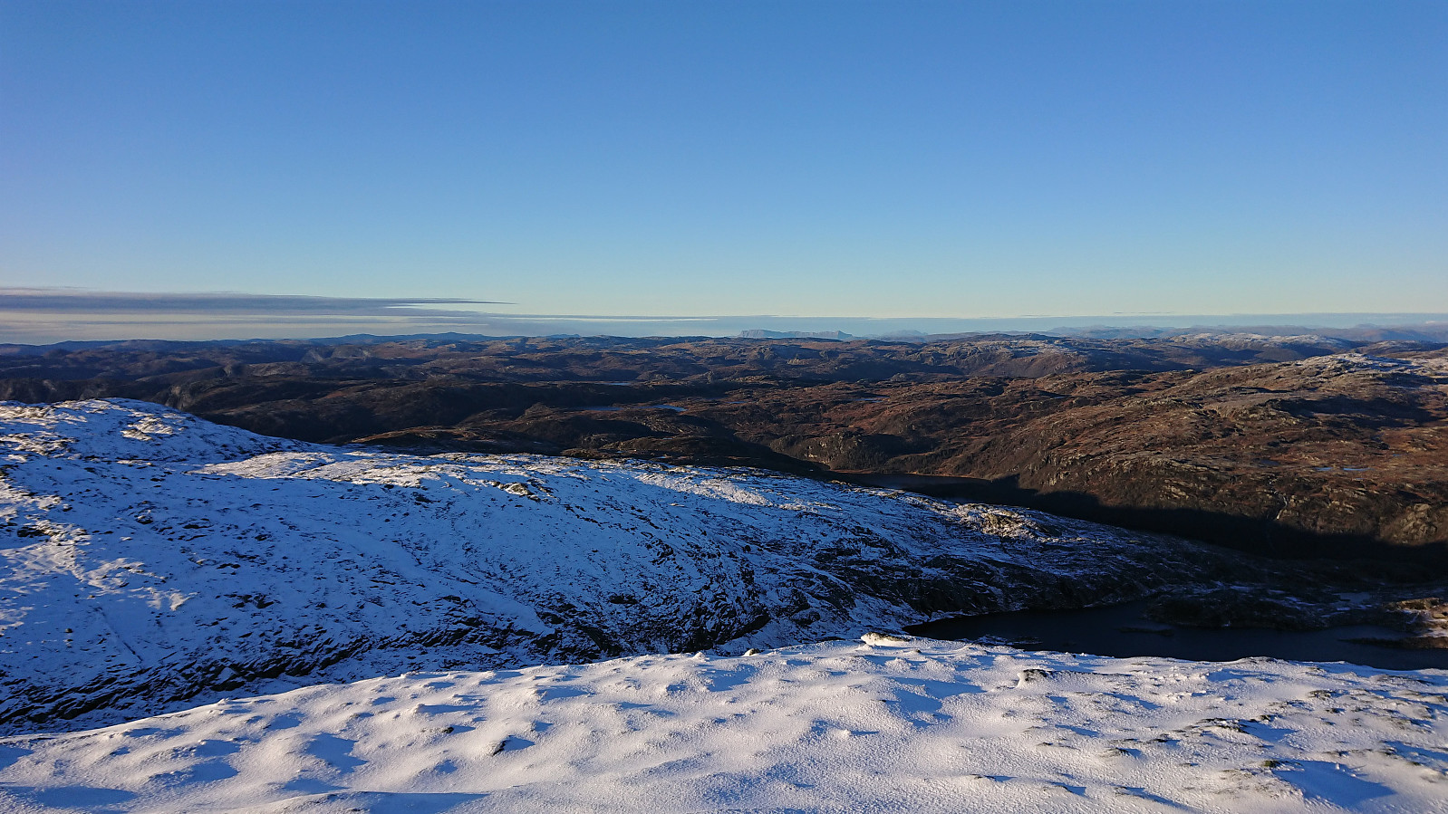
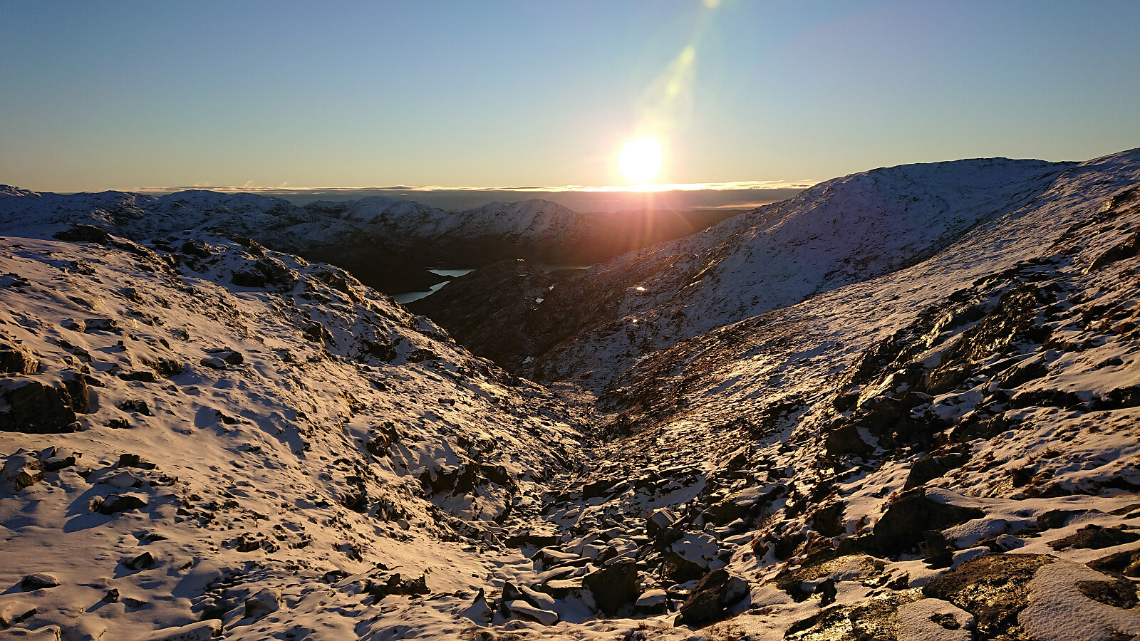
Another hike with petter (Petter Bjørstad), this time in the area north of Storavatnet in Masfjorden. Our goal was to make a roundtrip that included all of the four summits north of the lake. First up was Inste Kvitevasseggene. We parked next to the cabin Engleberget right beside the road at the southwestern end of Storavatnet and from there started our off-trail ascent. Shortly we however came across a trail marked by small cairns that we partly followed before again simply heading straight for the top. A bit of snow, but a lot less than what we had anticipated. Reaching the summit of Inste Kvitevasseggene requited a bit of scrambling at the end, but this can most likely be avoided by a short detour.
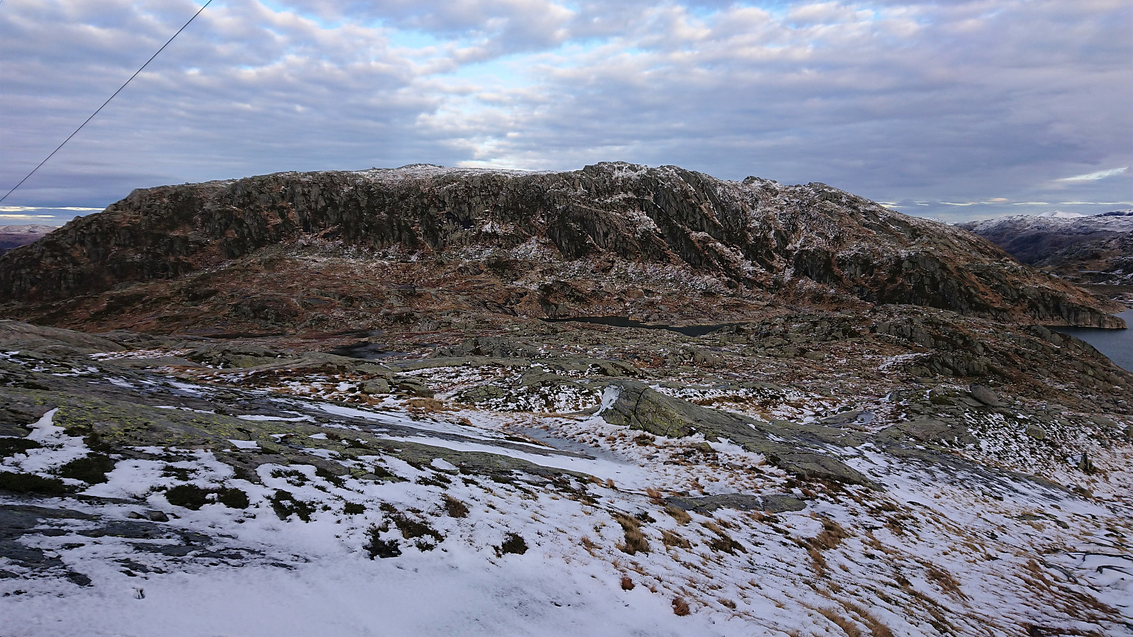
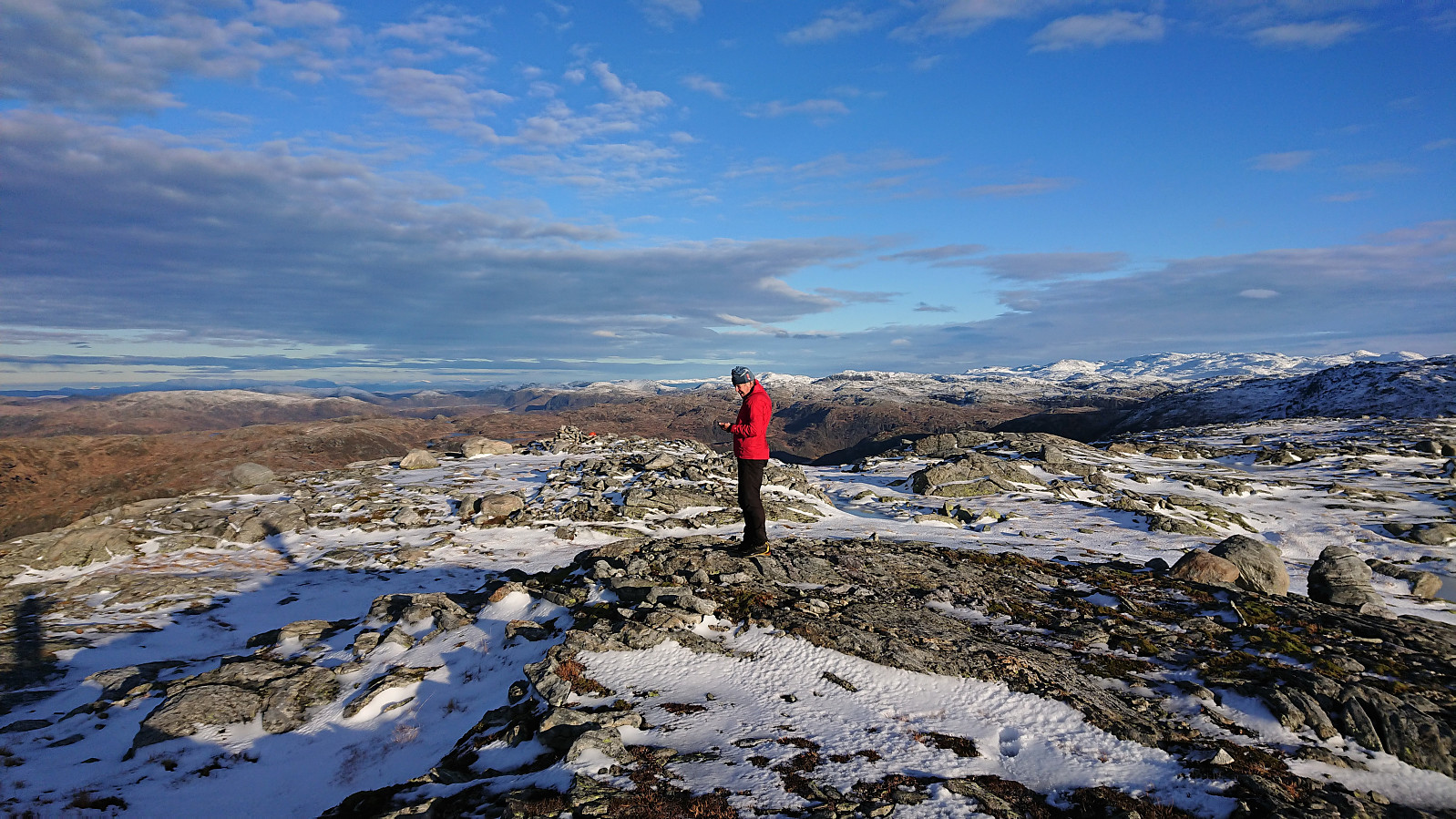
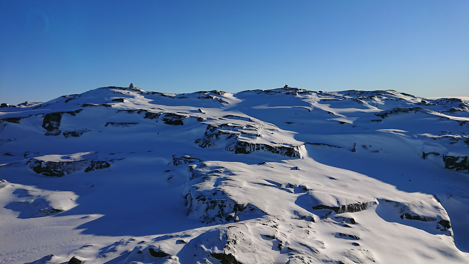
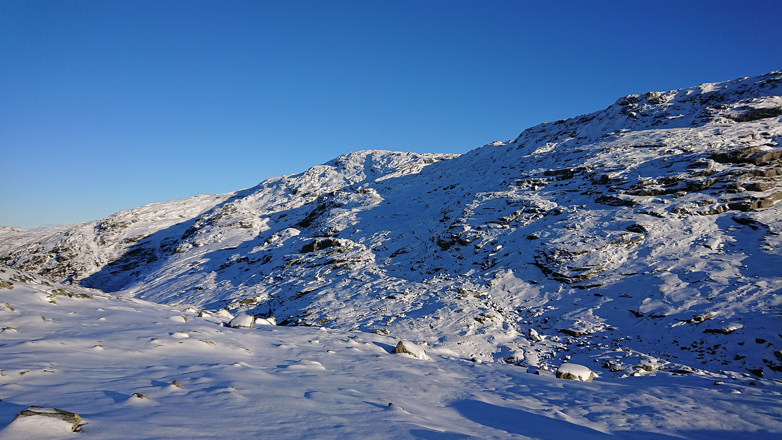
From Inste Kvitevasseggene, our plan was to head directly north to Storhogen. The terrain here turned out to be slightly trickier than what we had been able to read from the map, with numerous ups and downs that had to be traversed or avoided, but overall there were no real difficulties and we soon arrived at the steep ascent to Storhogen. Here Petter found a direct steep route that only required a bit of easy scrambling and saved us an otherwise much longer detour. We therefore quickly arrived at the summit area, which consisted of at least two summits in which the southwestern one is most likely the highest one.
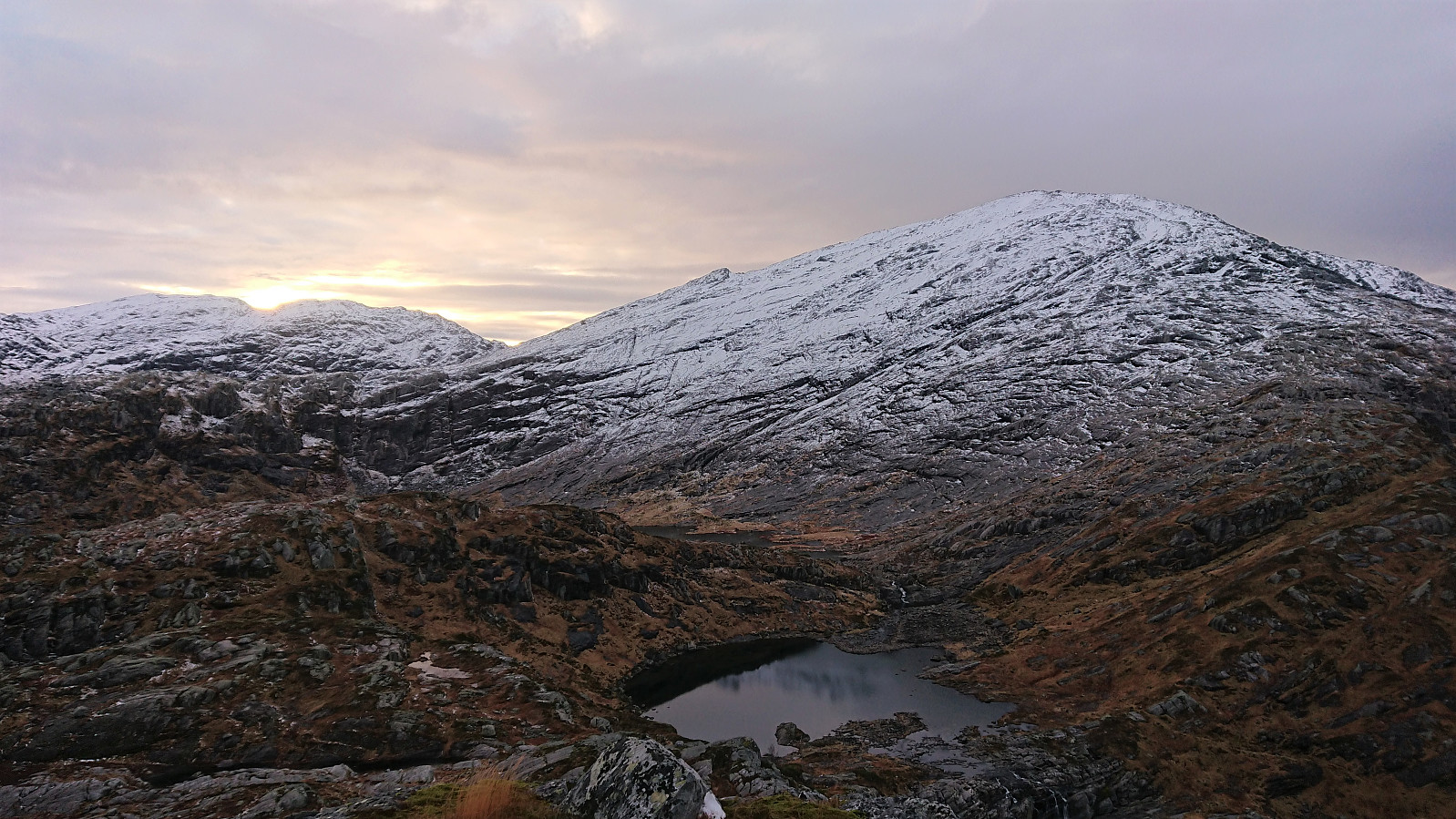
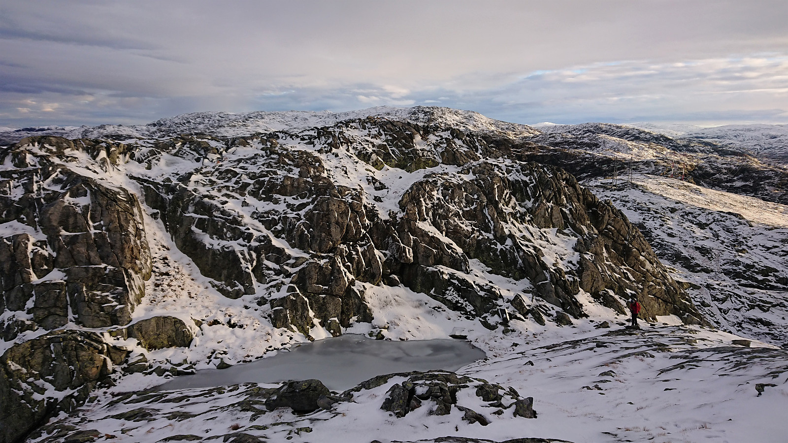
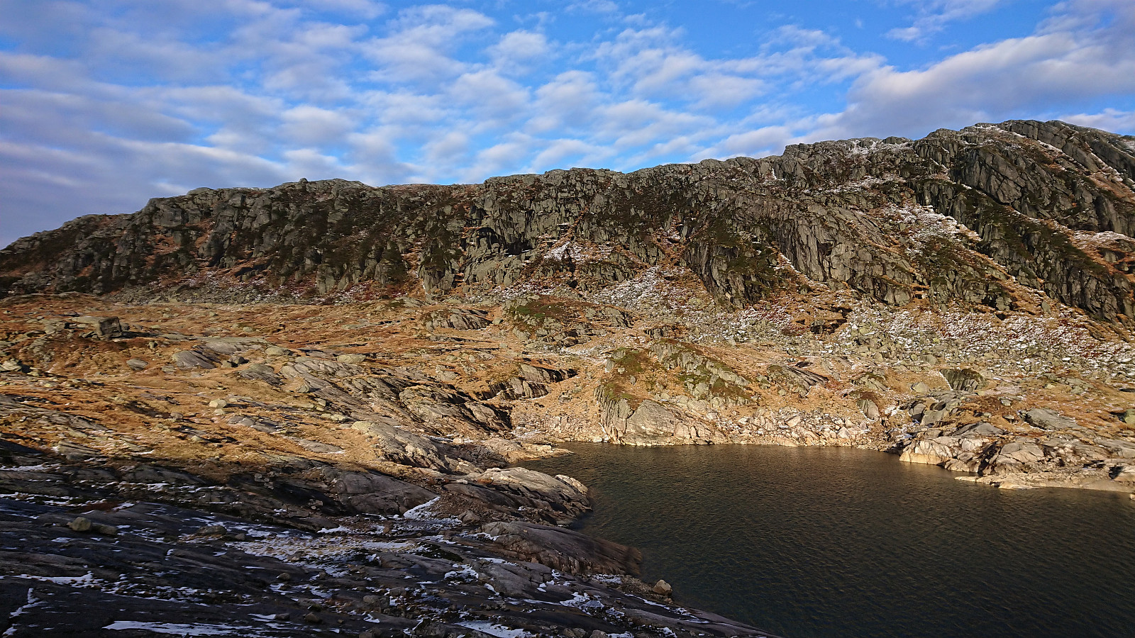
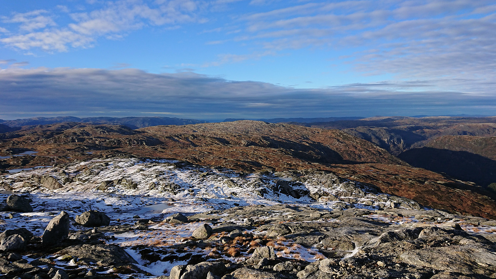
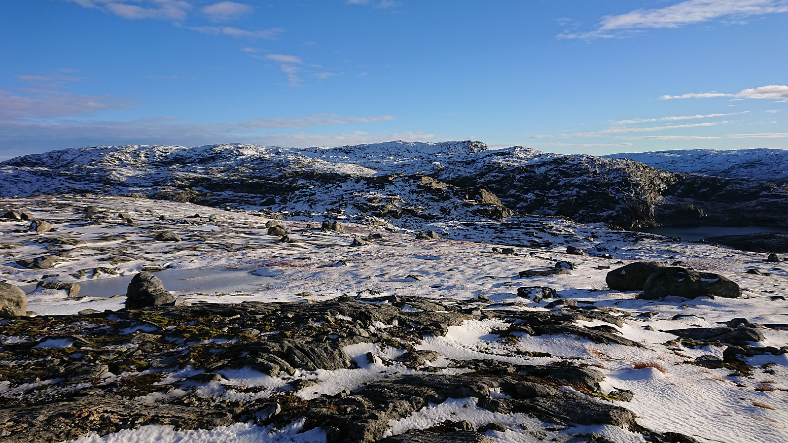
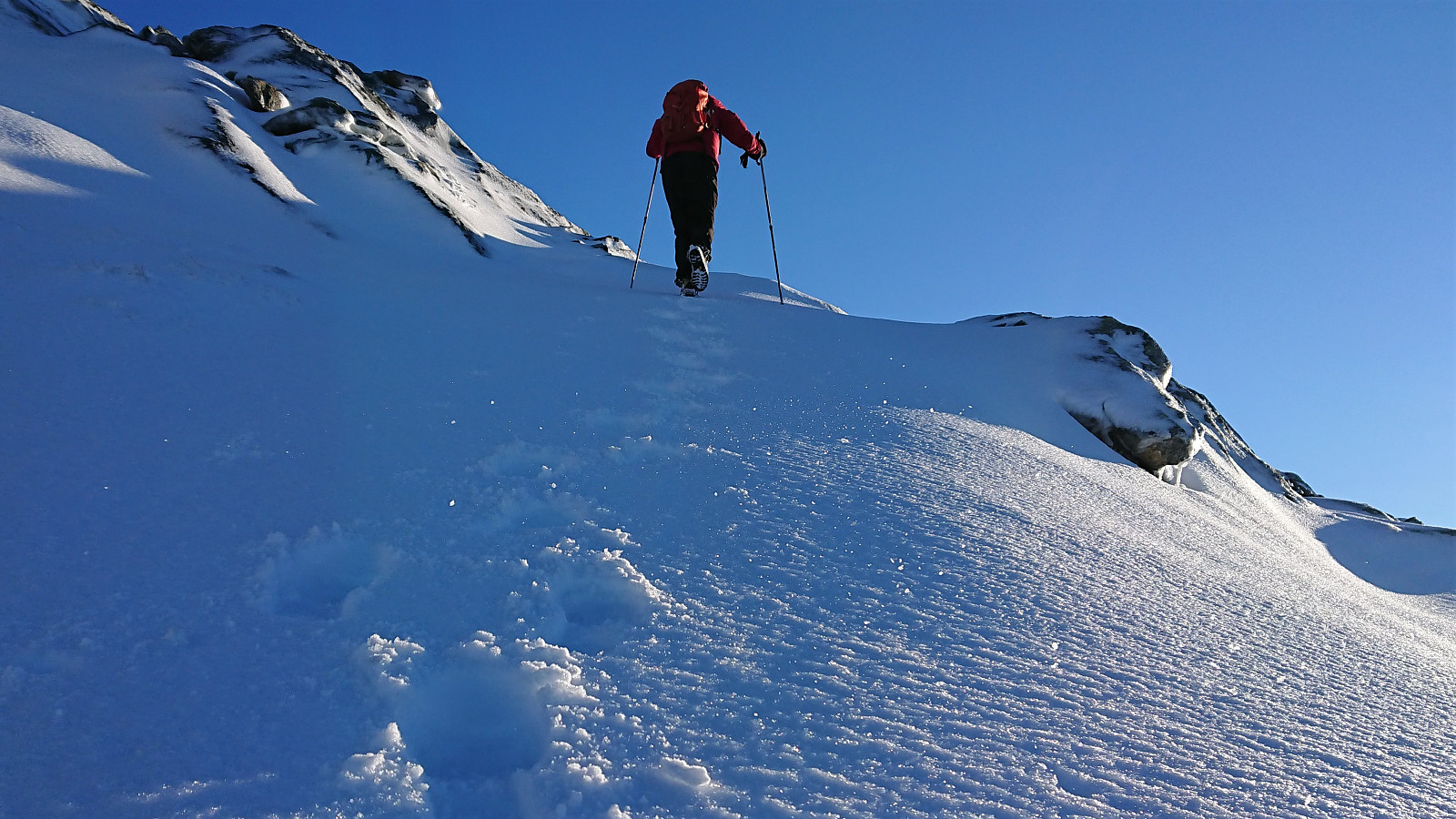
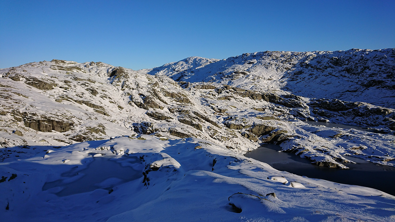
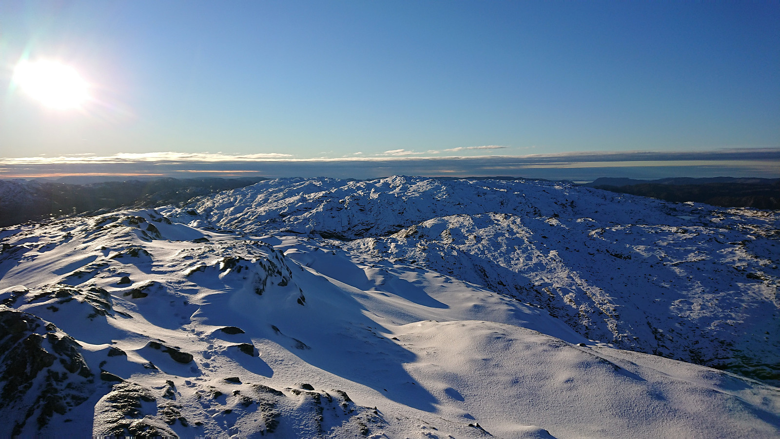
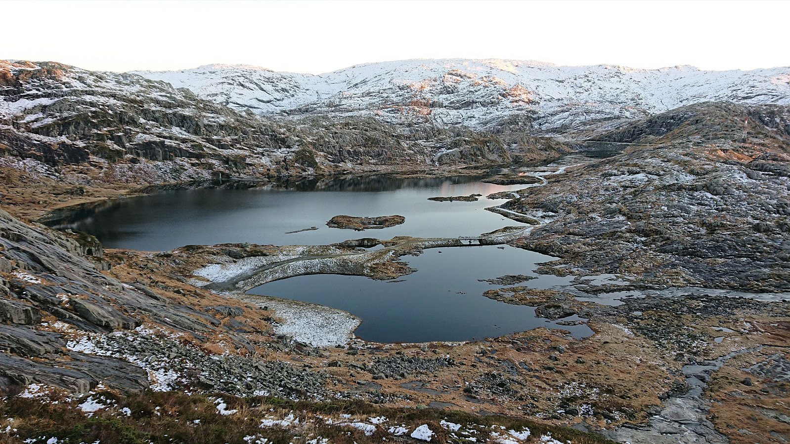
So far the amount of snow had been limited, but as we now progressed towards Sødalseggene it noticeably got deeper, and from here on we would be walking in up to 20 cm or more of snow for the rest of the hike. The descent from Storhogen did not provide any problems and we could shortly start our ascent to Sødalseggene. Here there were some steeper sections that could easily be avoided and we soon arrived at the 914 lake west of the summit. Instead of the longer detour normally required to reach the summit, we again attempted a more direct shortcut. And with Petter's expertise we were able to find a relatively easy route that only required a bit of light climbing early on. From there on it was easy to make progress towards the summit. The summit of Sødalseggene also consisted of two summits, each with its own cairn, where it was difficult to pick the real summit, but most likely it is the southern one.
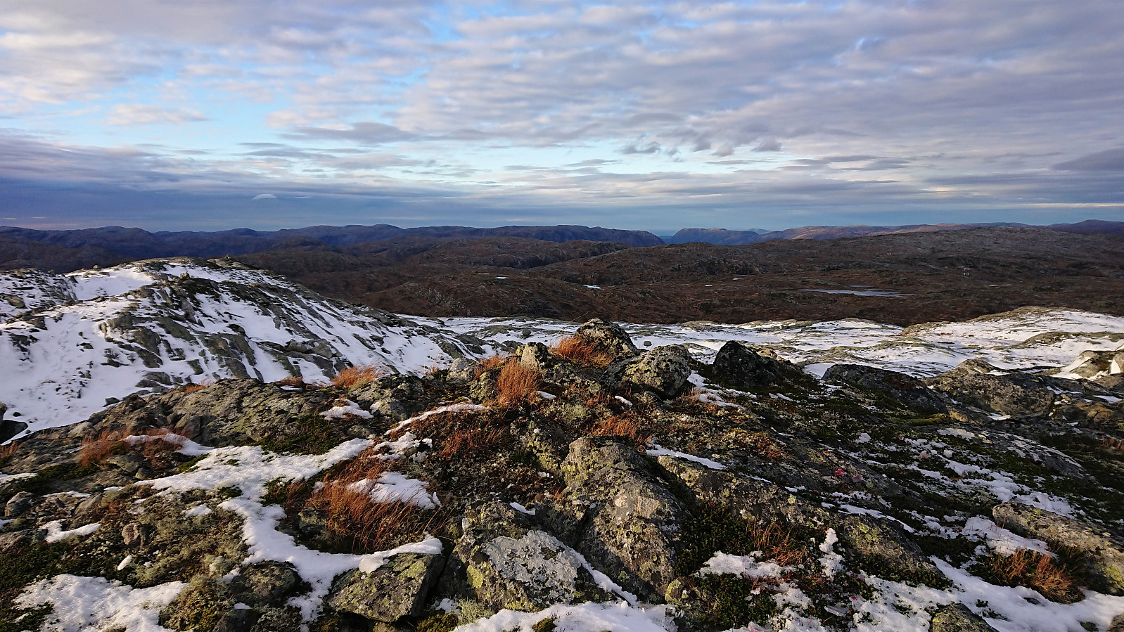
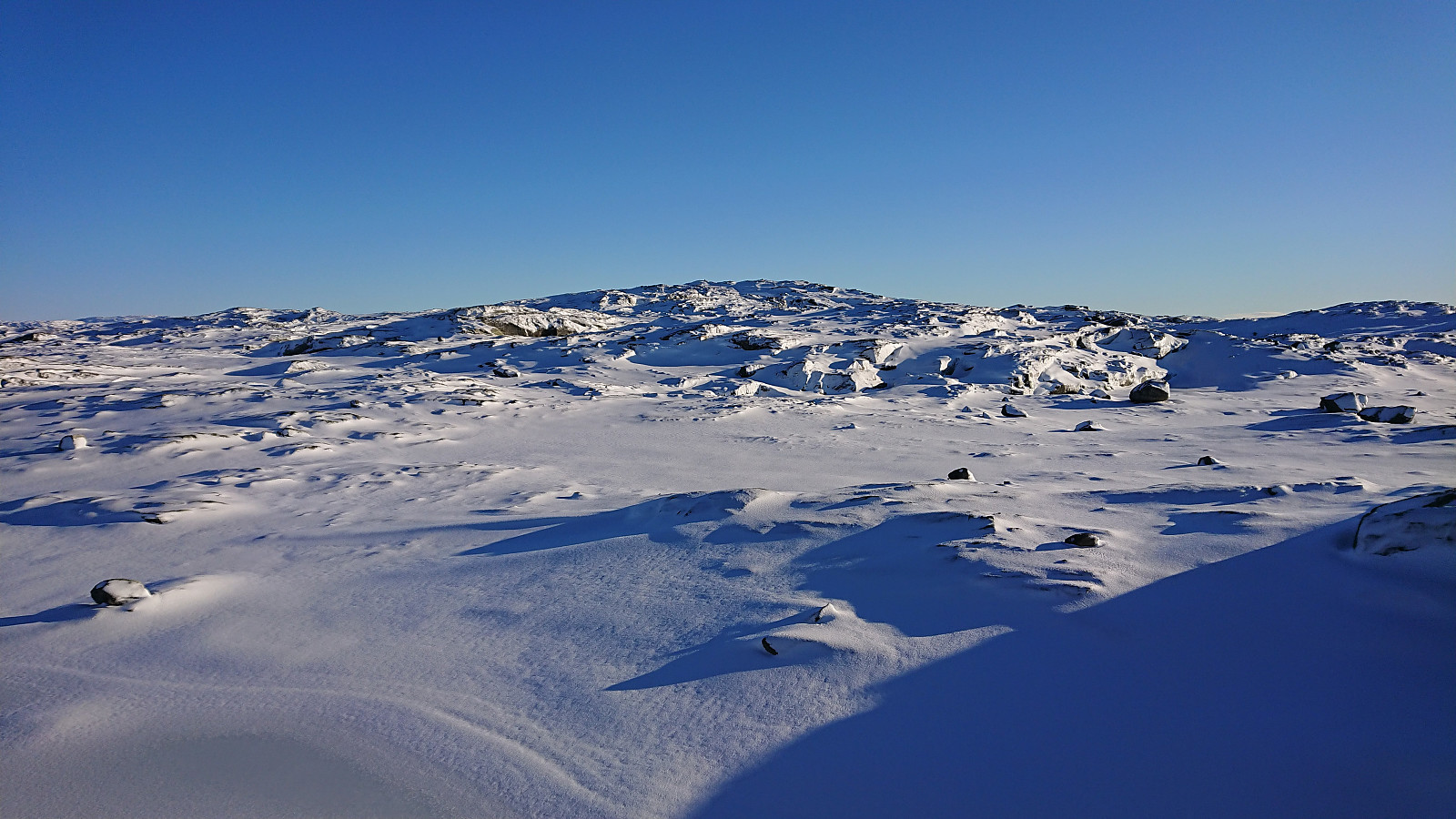
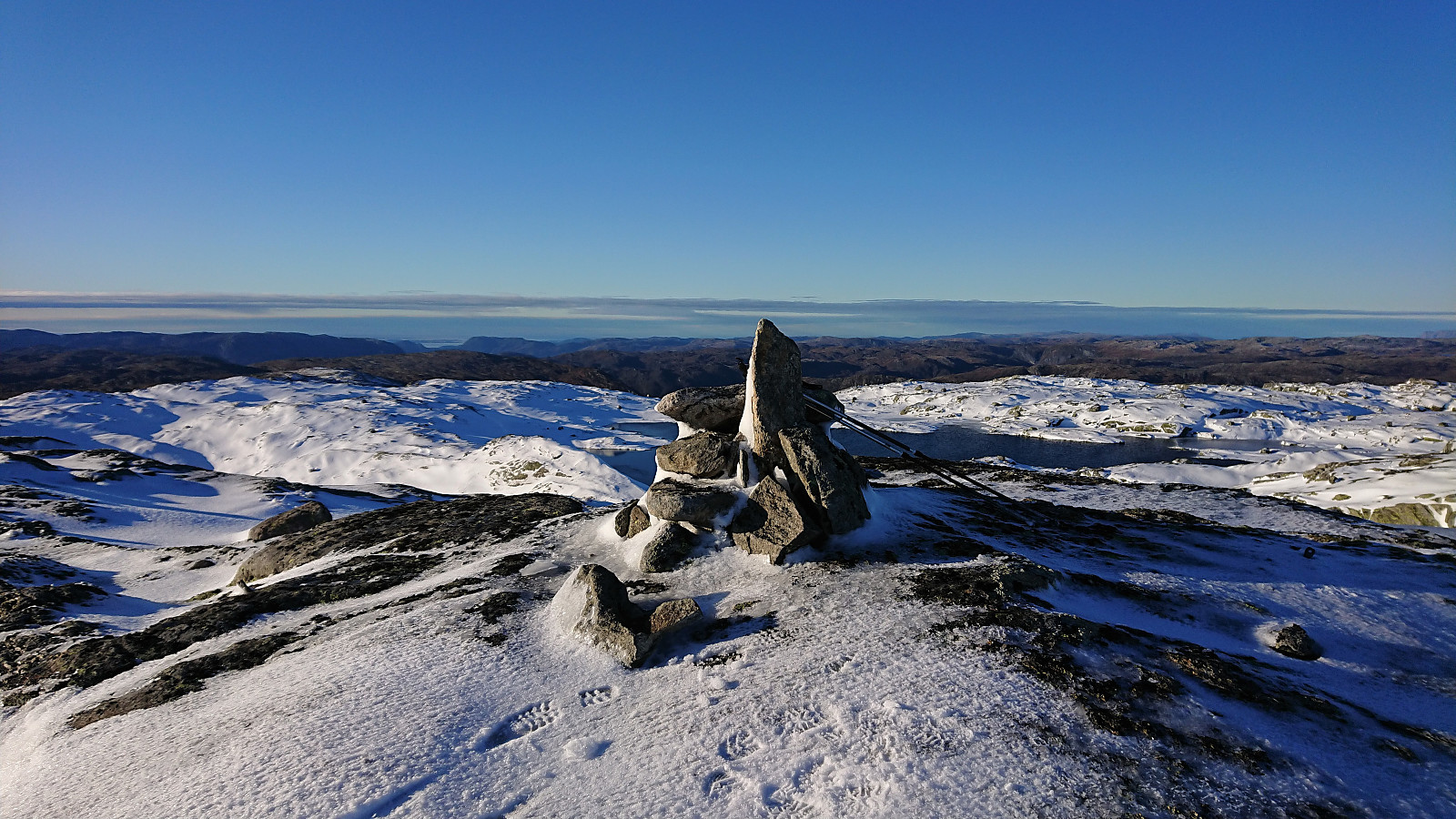
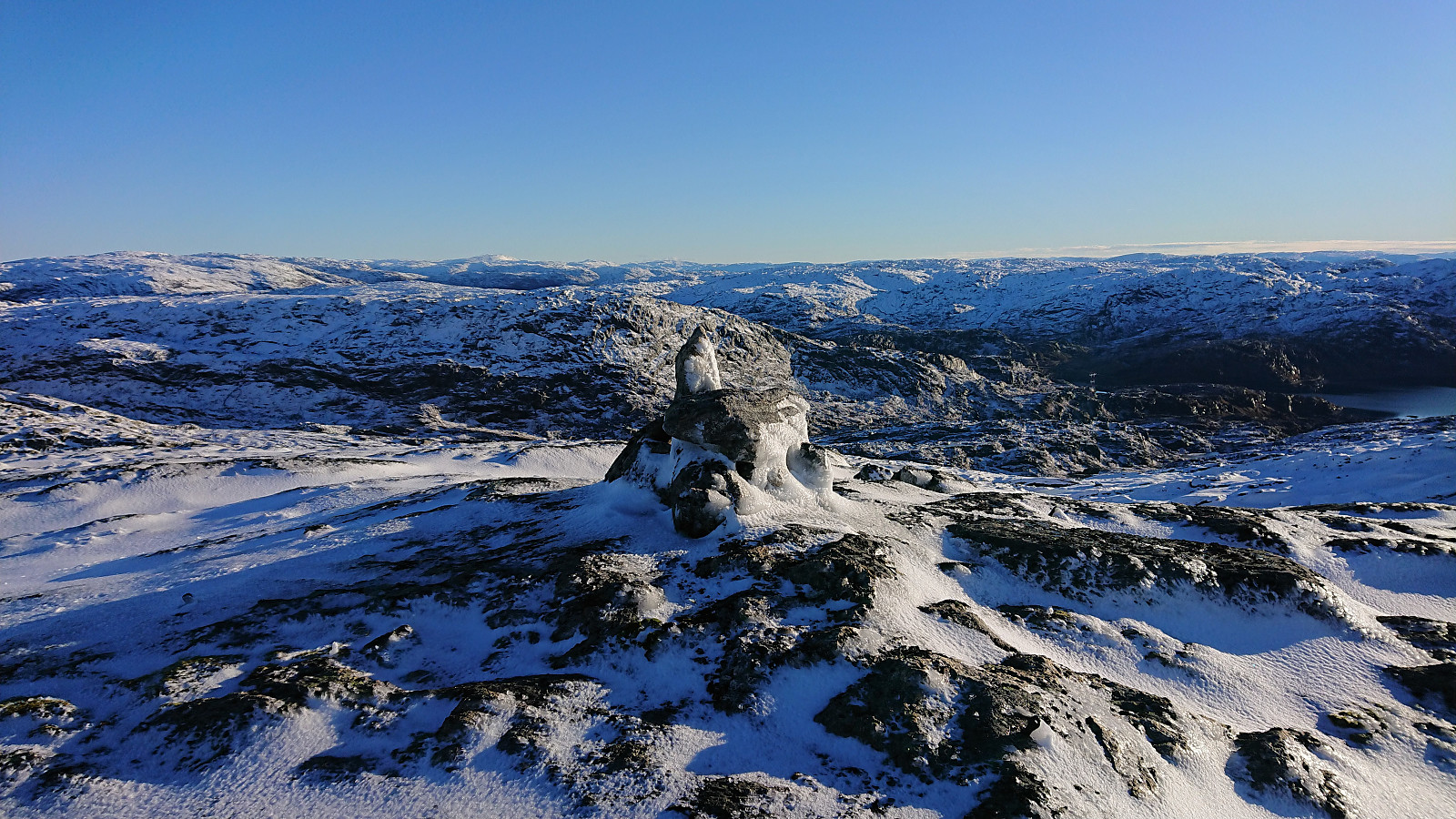
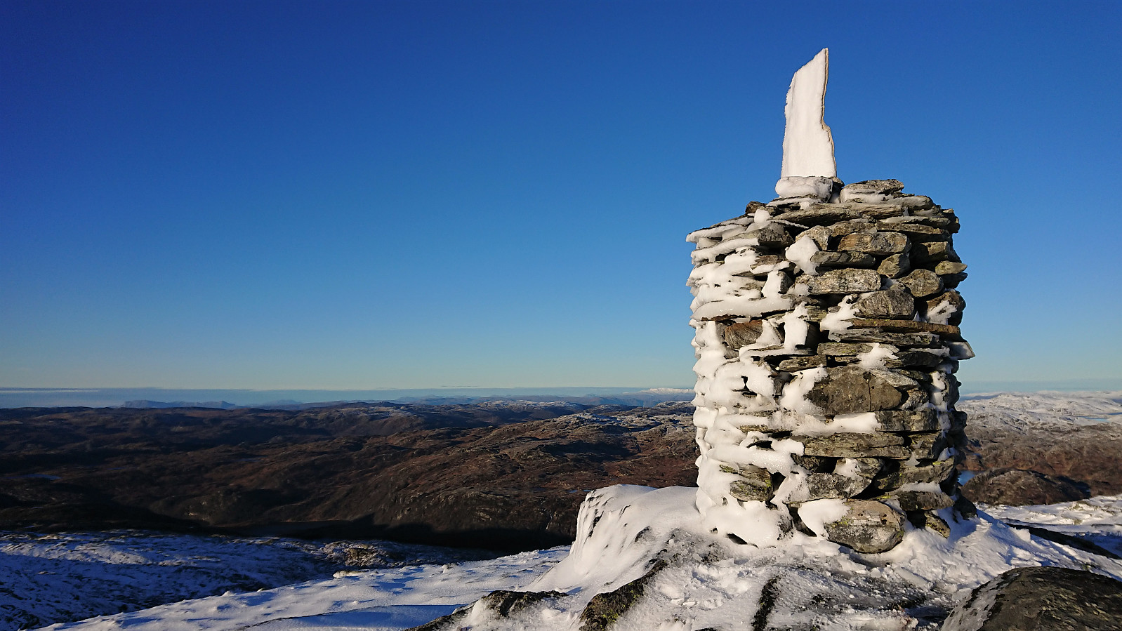
From Sødalseggene we headed more or less straight for our final goal of the day: Storevassegga, and after descending into the valley between the two summits, we were able to find a relatively easy route to the summit. The only challenge being the increasing amounts of snow making us having to work harder. The summit provided the largest cairn of the day and excellent views in all directions. Due to a cold wind, and still a while to go before it got dark, we however did not stay long before starting our descent.
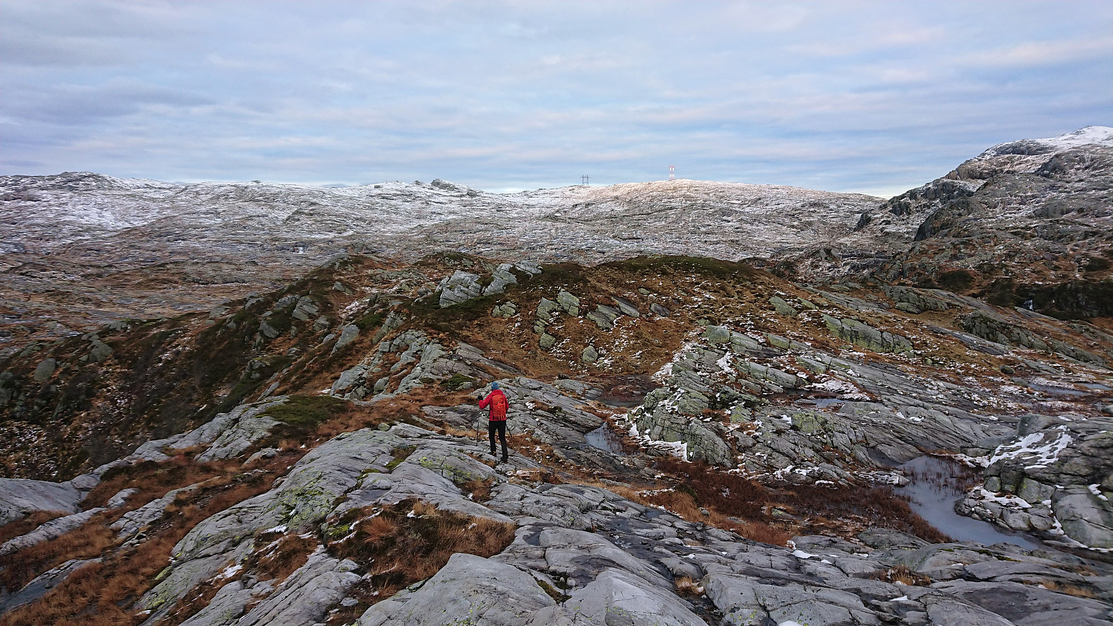
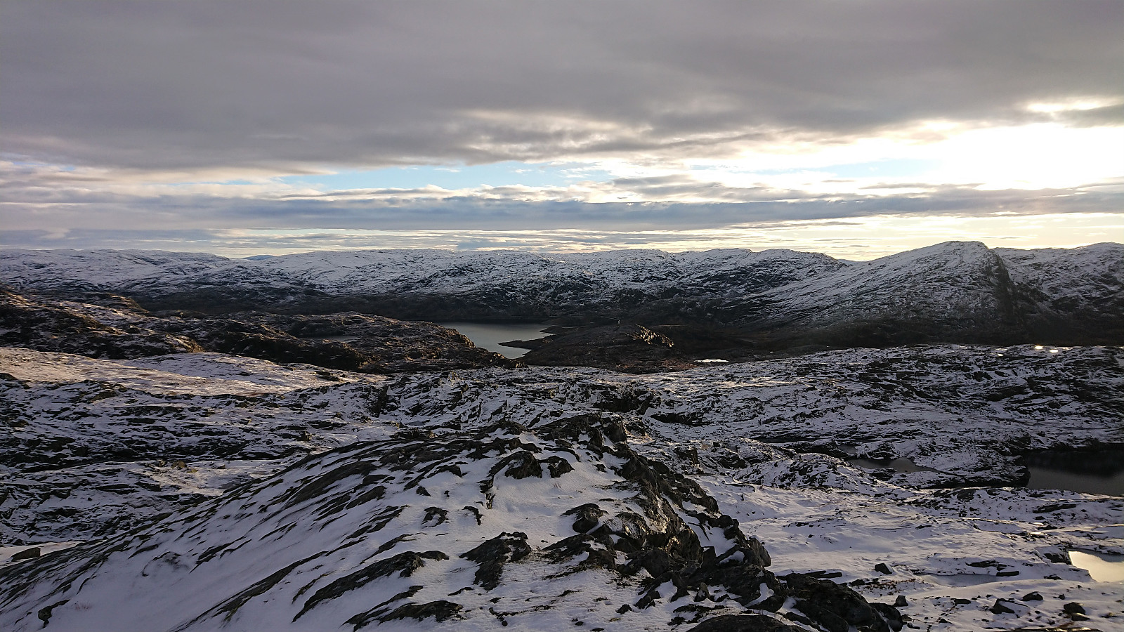
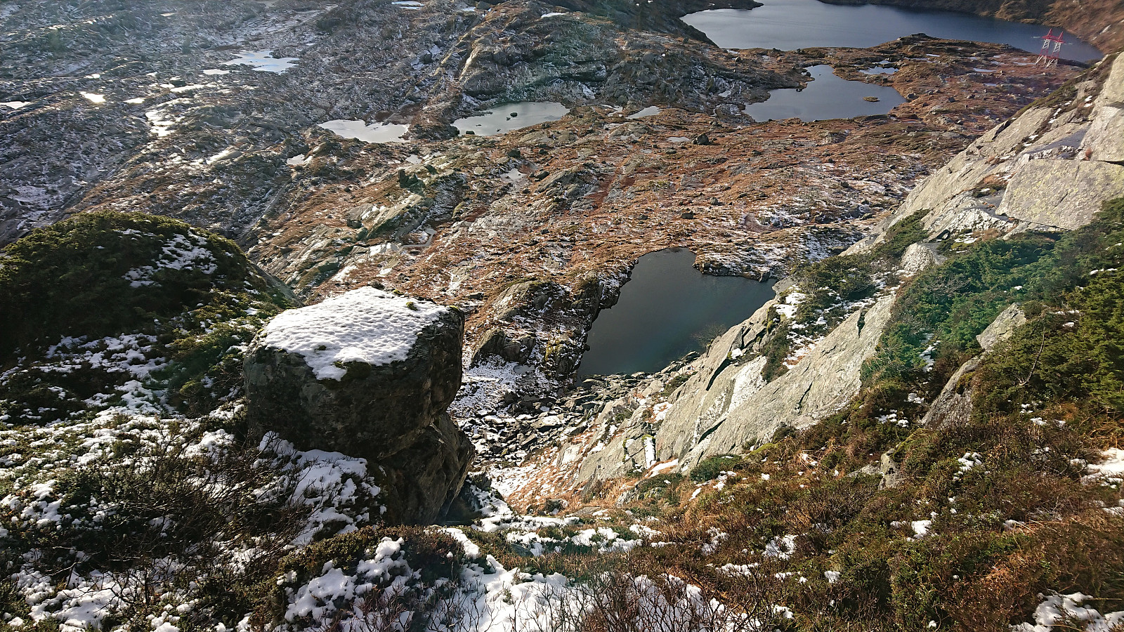
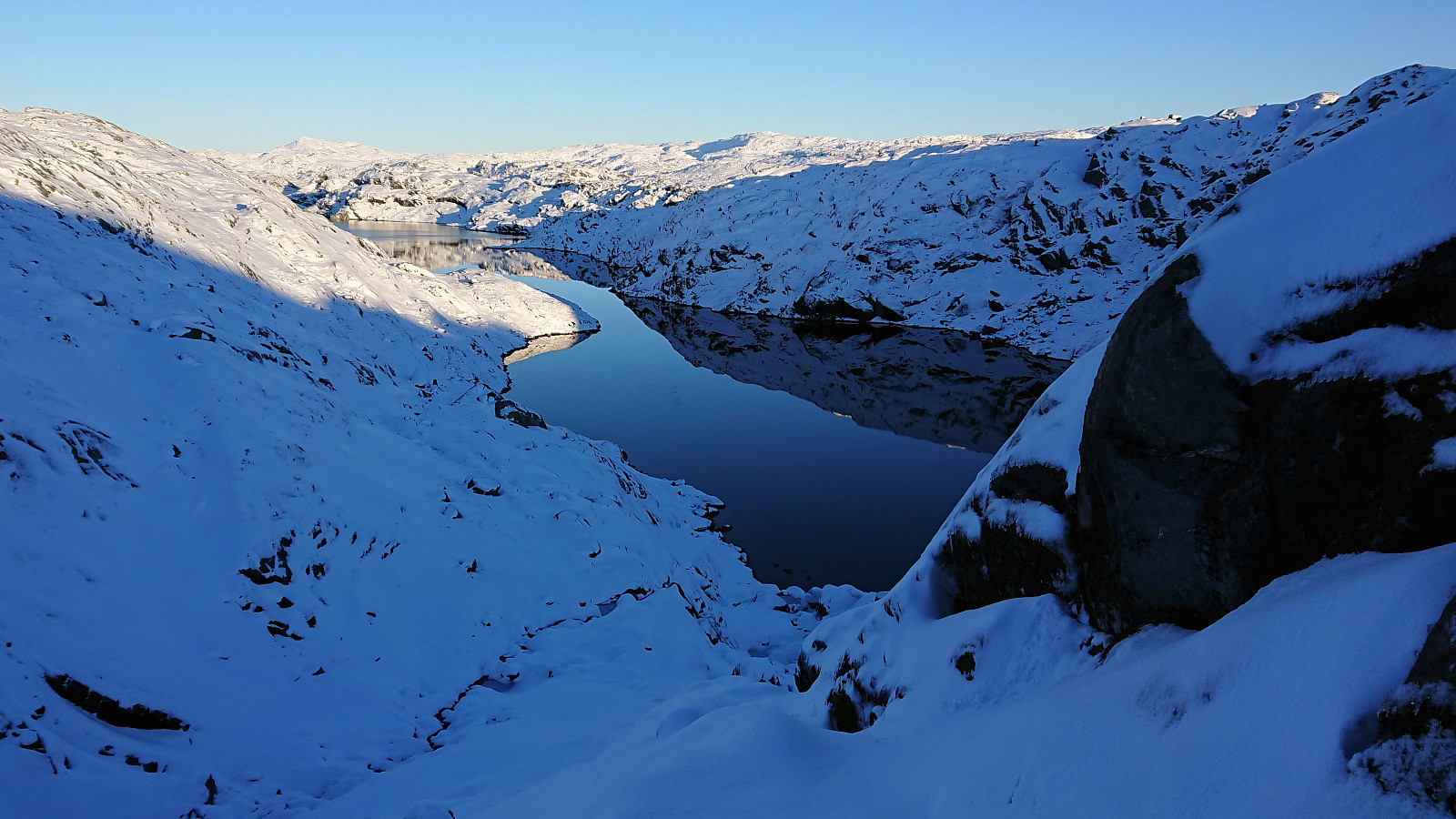
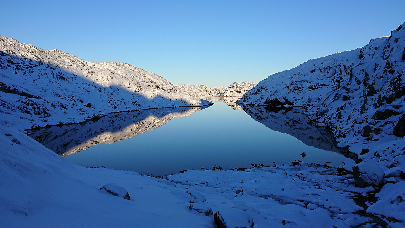
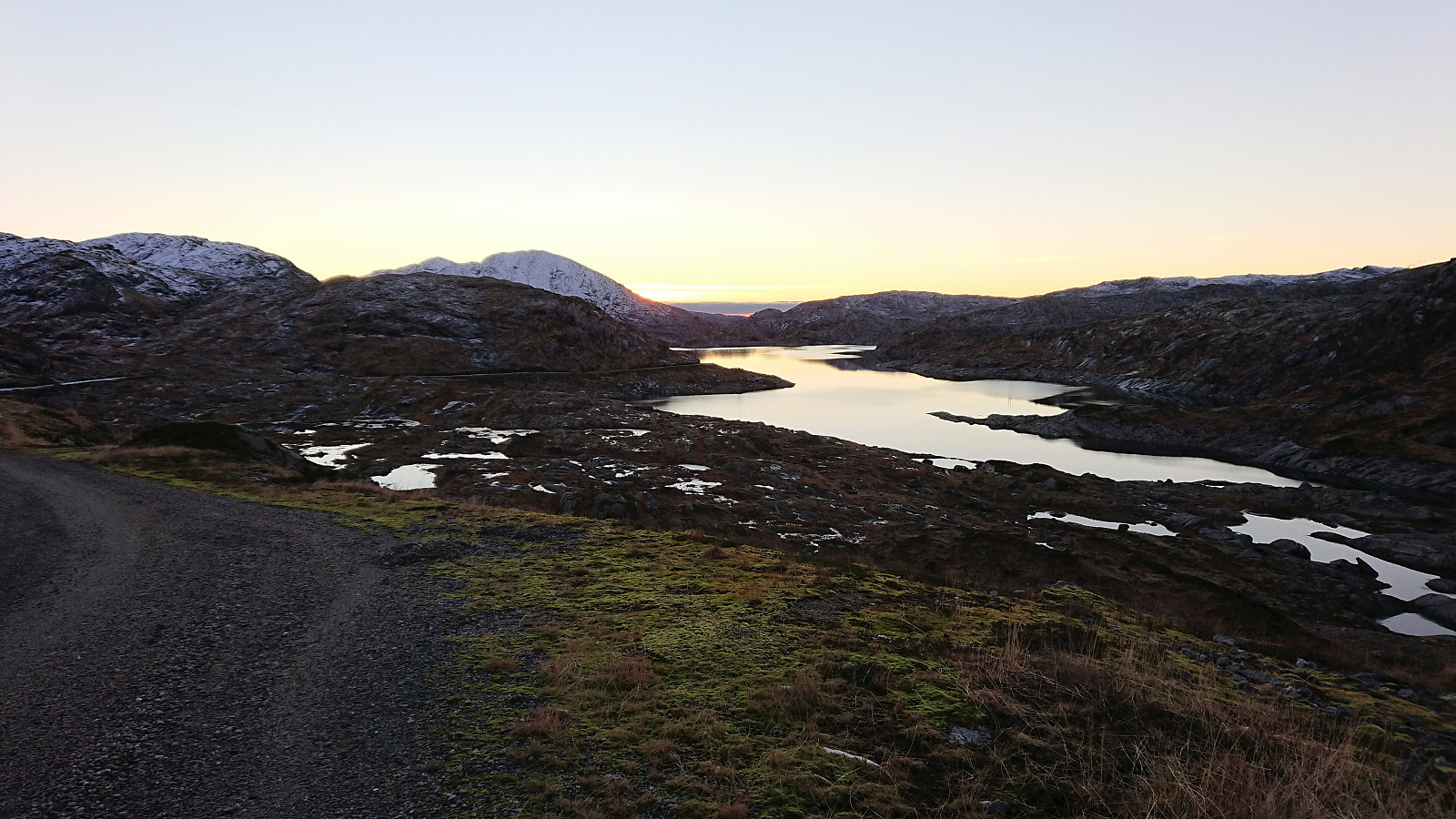
We soon came across a couple of small cairns leading the way via a small pass, before Petter decided that we should leave the cairns and rather head towards the 887 lake and from there follow the stream south. That way we would avoid the short climb up to the 992 hill southwest of the lake. And while this did avoid the short climb, we had clearly not looked closely enough at the map, as the stream from the 877 lake that we planned to follow down to the smaller lake to the south, instead flowed towards to the larger lake, and a short ascent was needed after all. It is thus probably better to skip this "shortcut" and head straight for the 939 lake instead.
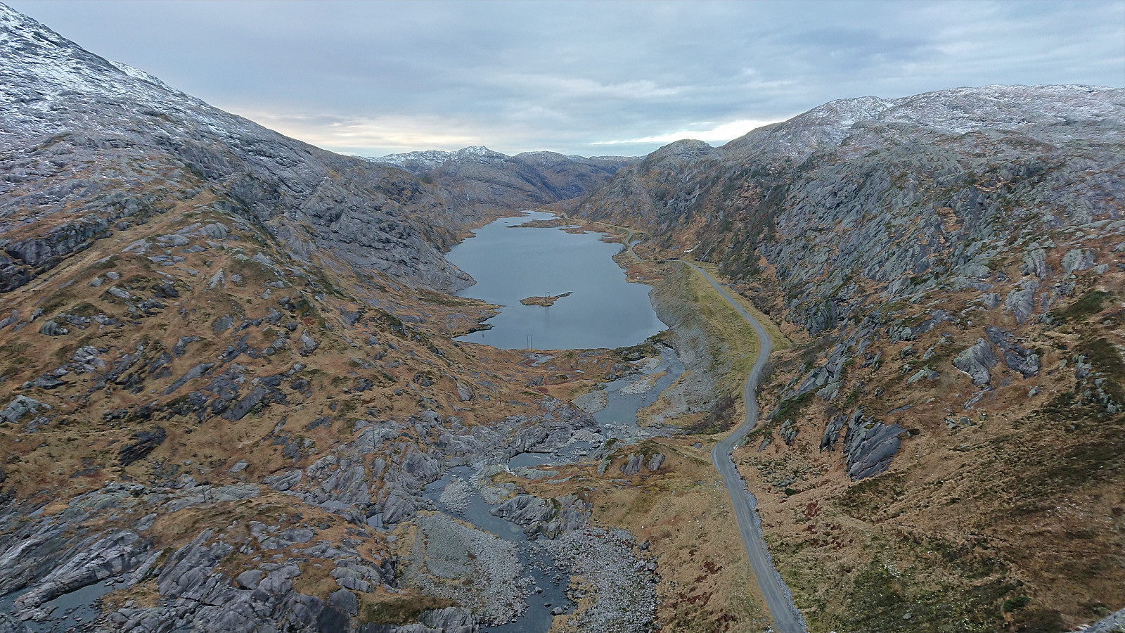
After following the 939 lake south, we crossed a final small ridge, before starting our descent alongside a small stream heading southwest. While following this stream was at times a bit trickier than expected, mainly due to snow-covered rocks and a couple of steeper areas that had to be avoided, it could still be followed without too much trouble. And when the stream turned into a small waterfall, we managed to find an easy route that did not require any climbing, that took us all the way down to the gravel road next to the 725 lake. All that remained was then the around 4.5 km walk along the gravel road back to the car, which we reached just before it got dark enough to require the use of headlamps.
In summary, a very nice hike with excellent views in an area that probably does not see too many hikers. The four summits are however still relatively accessible given the gravel road all the way to Storavatnet and Svartavatnet. But while there are some trails marked with small cairns, one should also be prepared for longer stretches without any trails at all. Also note that the difficulty level for parts of our route may be quite different when there is no snow, and that alternative routes may then have to be considered.

| Start date | 13.11.2021 09:12 (UTC+01:00) |
| End date | 13.11.2021 16:49 (UTC+01:00) |
| Total Time | 7h 37min |
| Moving Time | 6h 49min |
| Stopped Time | 0h 48min |
| Overall Average | 2.5km/h |
| Moving Average | 2.8km/h |
| Distance | 19.1km |
| Vertical meters | 1,103m |

User comments
Nice!
Written by HHauser 20.11.2021 22:50Impressive! Thanks for the report and the pictures -- clearly a majer hike with a bit of adventure character, also! :-)
Re: Nice!
Written by hbar 20.11.2021 23:13Thanks Helwig! I thought you would like this one. During the hike I actually mentioned to Petter that you would most likely have approved the format of this particular hike. Just look at how the GPS track makes up such a nice roundtrip? ;)