Toppfjellet from Eide (23.10.2021)

| Startpunkt | Eide (45m) |
|---|---|
| Endpunkt | Eide (45m) |
| Tourcharakter | Bergtour |
| Tourlänge | 4h 42min |
| Entfernung | 10,9km |
| Höhenmeter | 912m |
| GPS |
|
| Besteigungen | Toppfjellet (616m) | 23.10.2021 |
|---|---|---|
| Besuche anderer PBE | Eidsstølen (347m) | 23.10.2021 |
Toppfjellet from Eide

It is not often that one gets to be among the first three registered visits for a summit on the Hordaland ≥ 100m pf. list, but given that Toppfjellet in Modalen only had two previous visits this should be possible. The most recent visit was by Runemb (Rune Blomberg) back in 2013, and thanks to his report I did not have to plan much to find the best route.
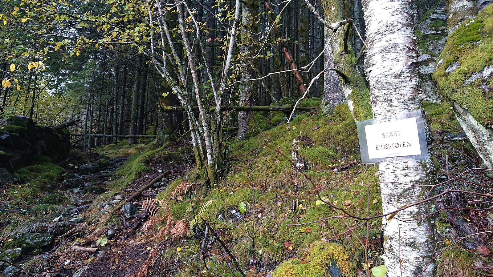
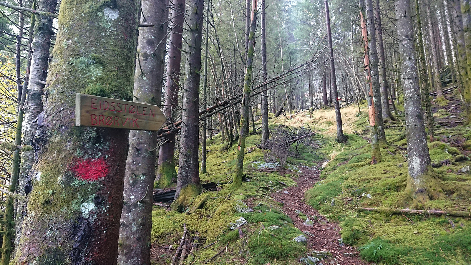
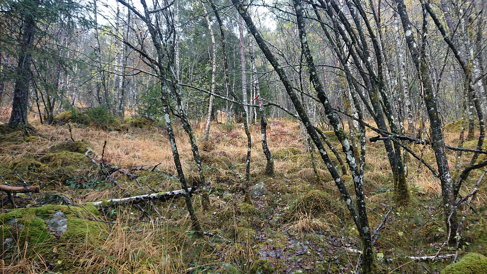
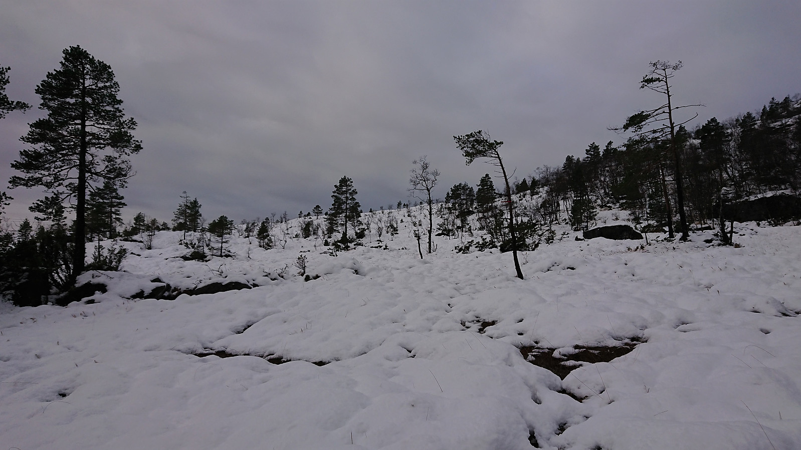
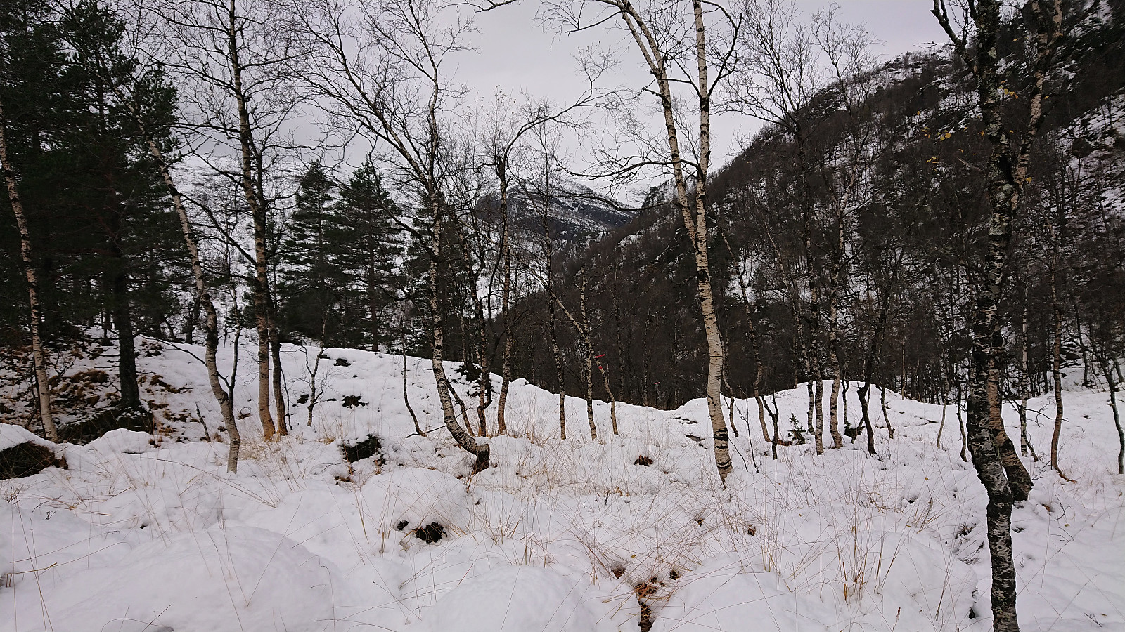
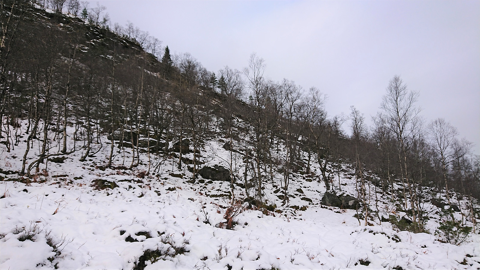
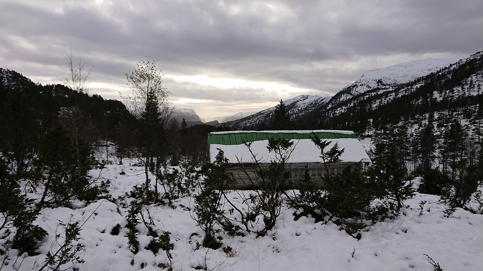
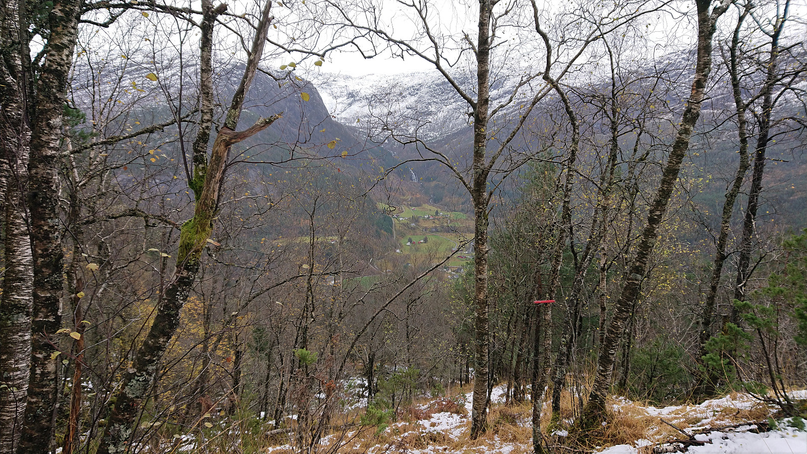
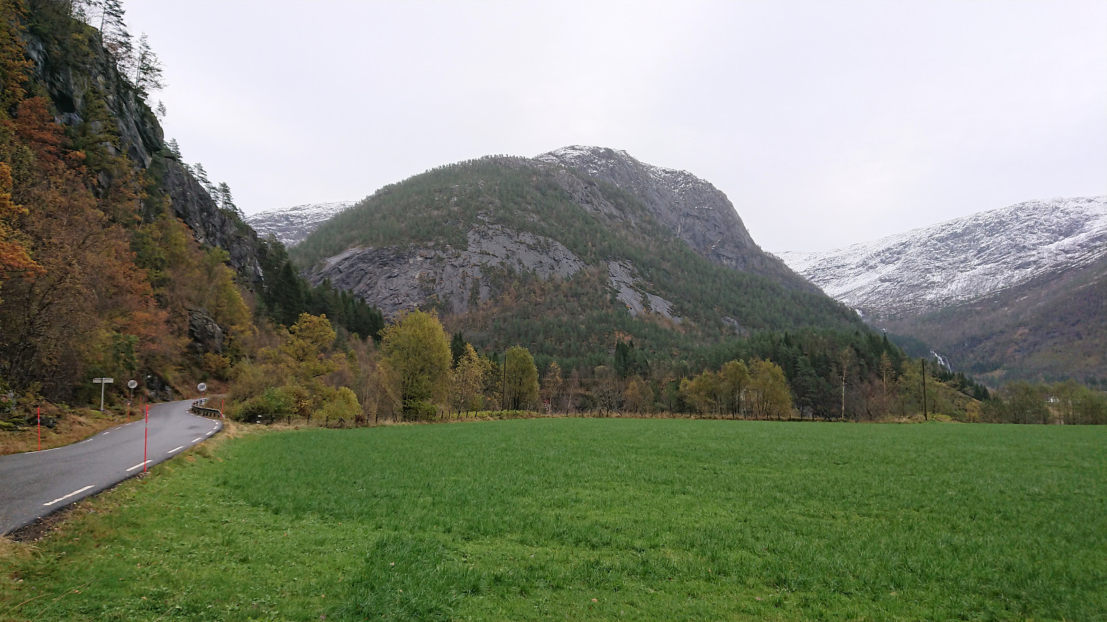
After taking the train to Dale and then the bus to Eide, I located the marked trailhead and started on a trail marked with a combination of red paint and red plastic tubes. Note that while the trailhead was marked, it may not be the easiest to spot from the main road. There were however signs for both Eidsstølen and Brørvik within the first couple of meters. While the route was clearly marked, the trail itself was often more difficult to spot. The fact that the trail was soon covered by snow did not help either of course. But by paying close attention to the markers, I managed to follow them all the way to Eidsstølen.
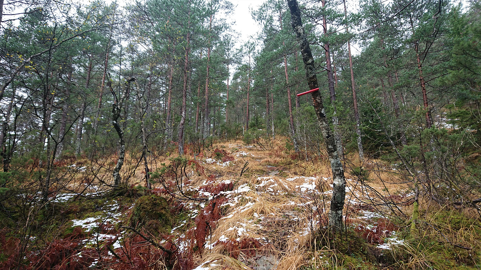
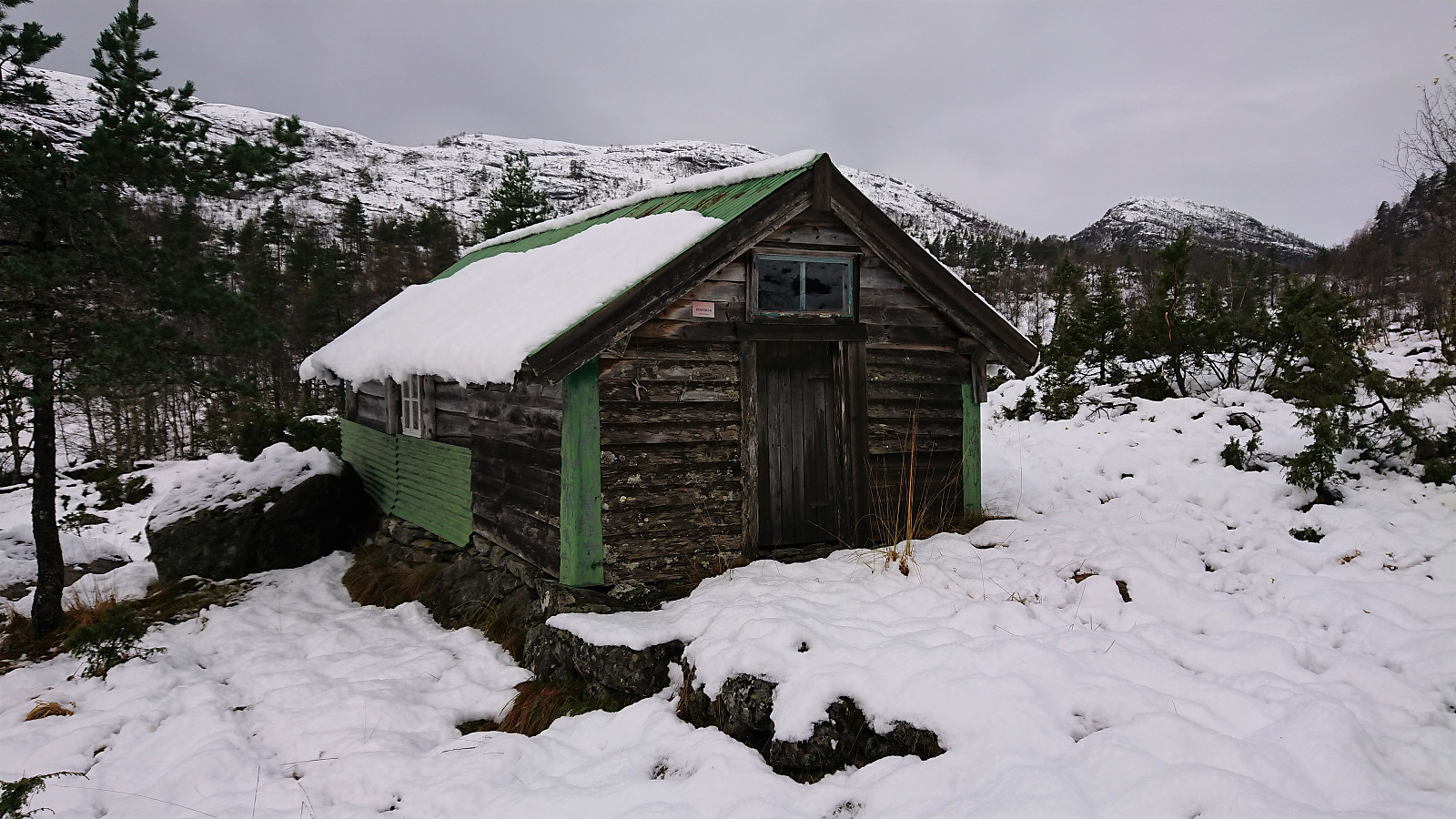
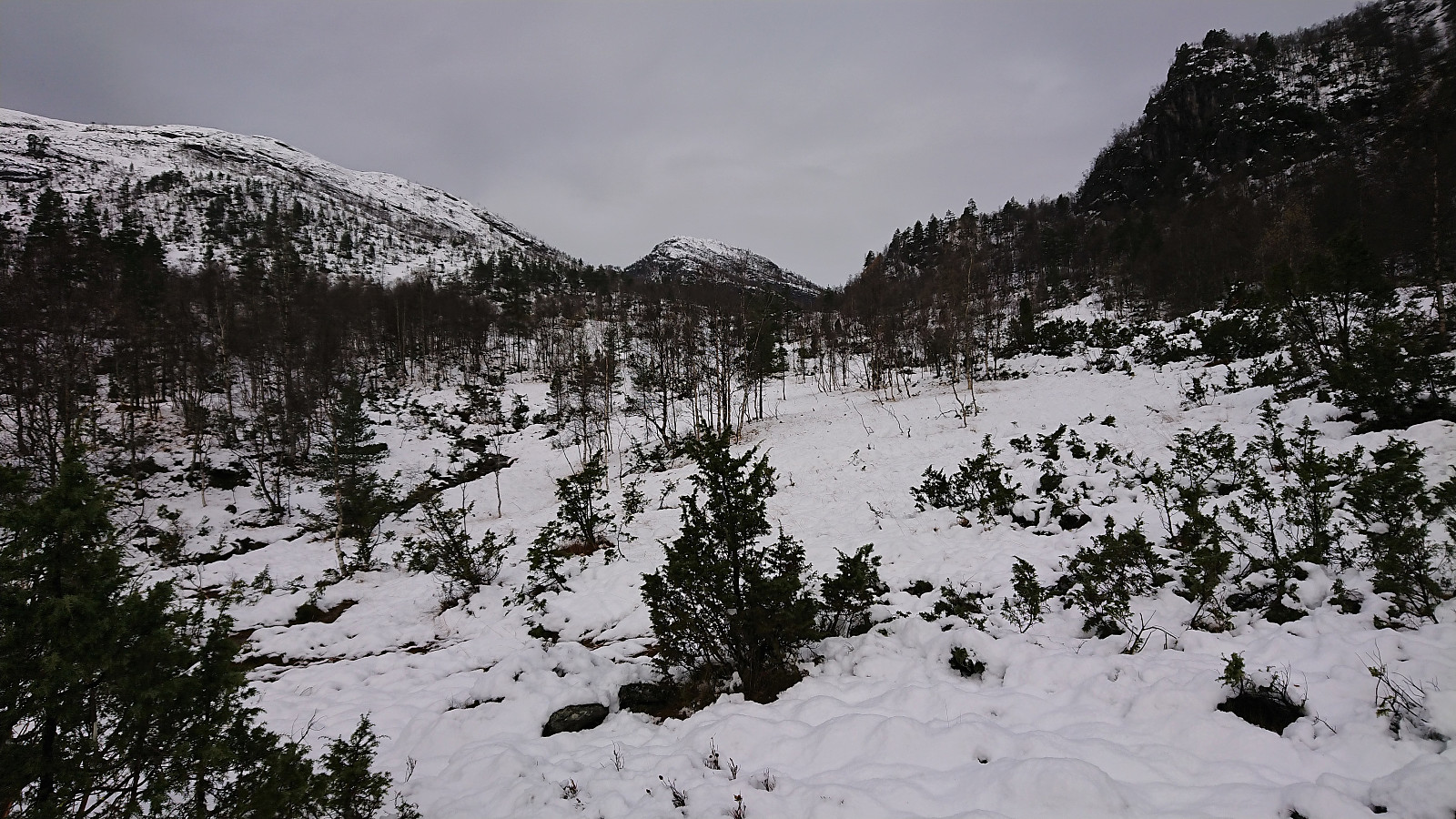
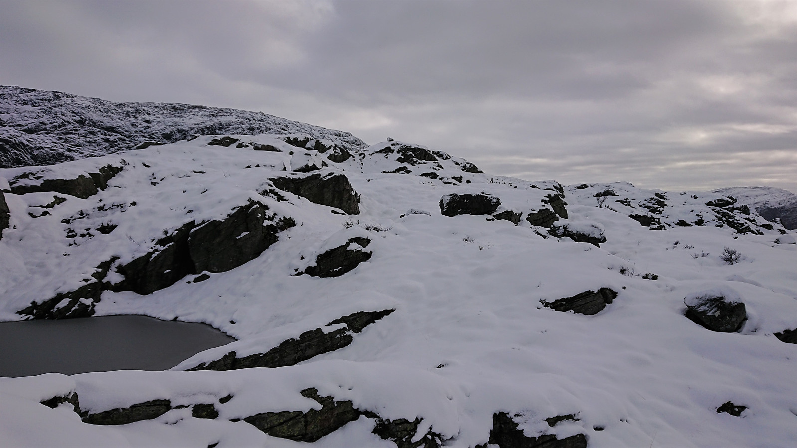
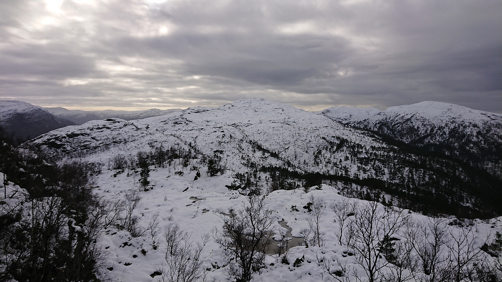
After having descended to Eidsstølen from the Einstein area north of the 471 hill, I was now ready to start my off-trail ascent to Toppfjellet. There were no footprints in the snow but my own, but there were plenty of hoofprints. And that was not the only sign of deer. I heard at least three different bucks making their characteristic roars as I was leaving Eidsstølen behind, and even spotted a couple of them, in addition to at least two does, before starting the final ascent to the summit.
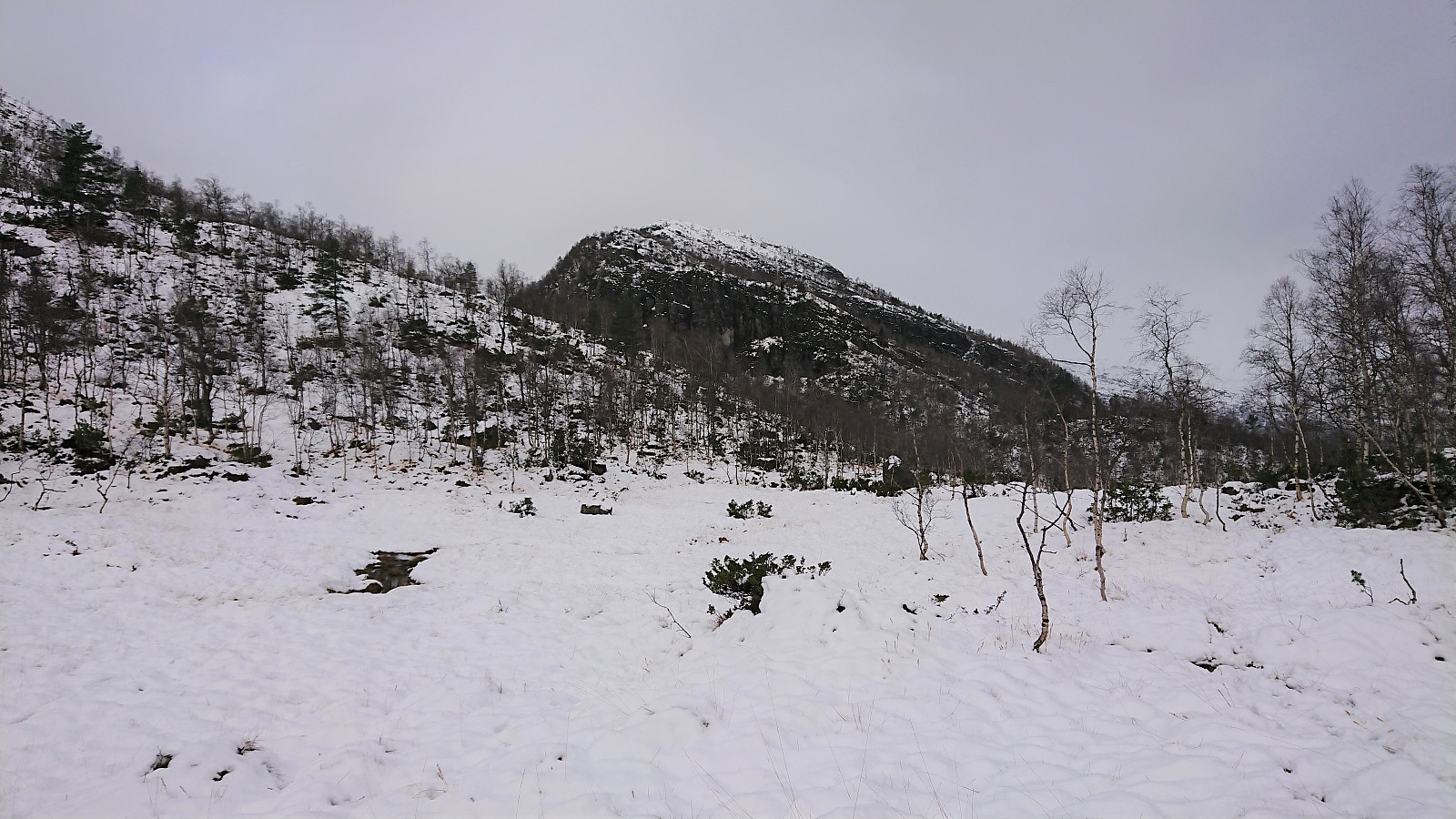
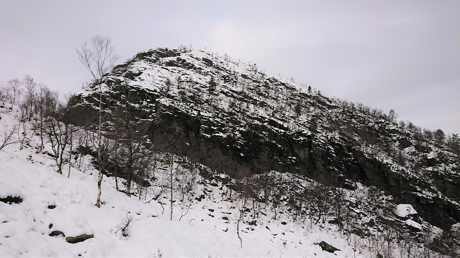
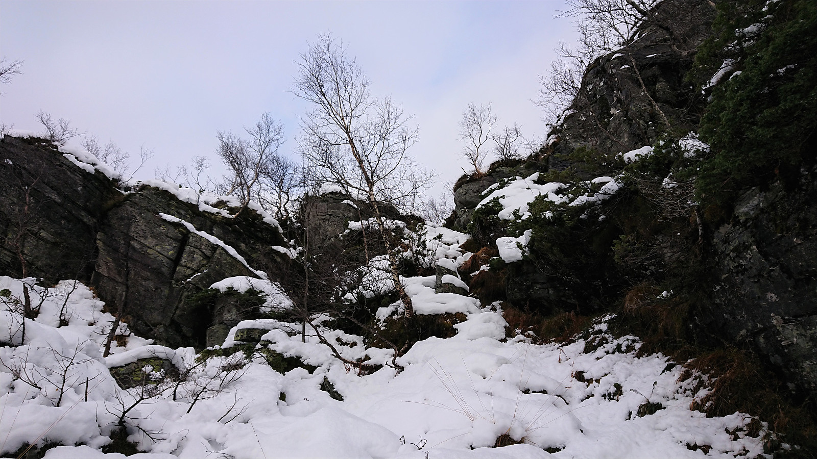
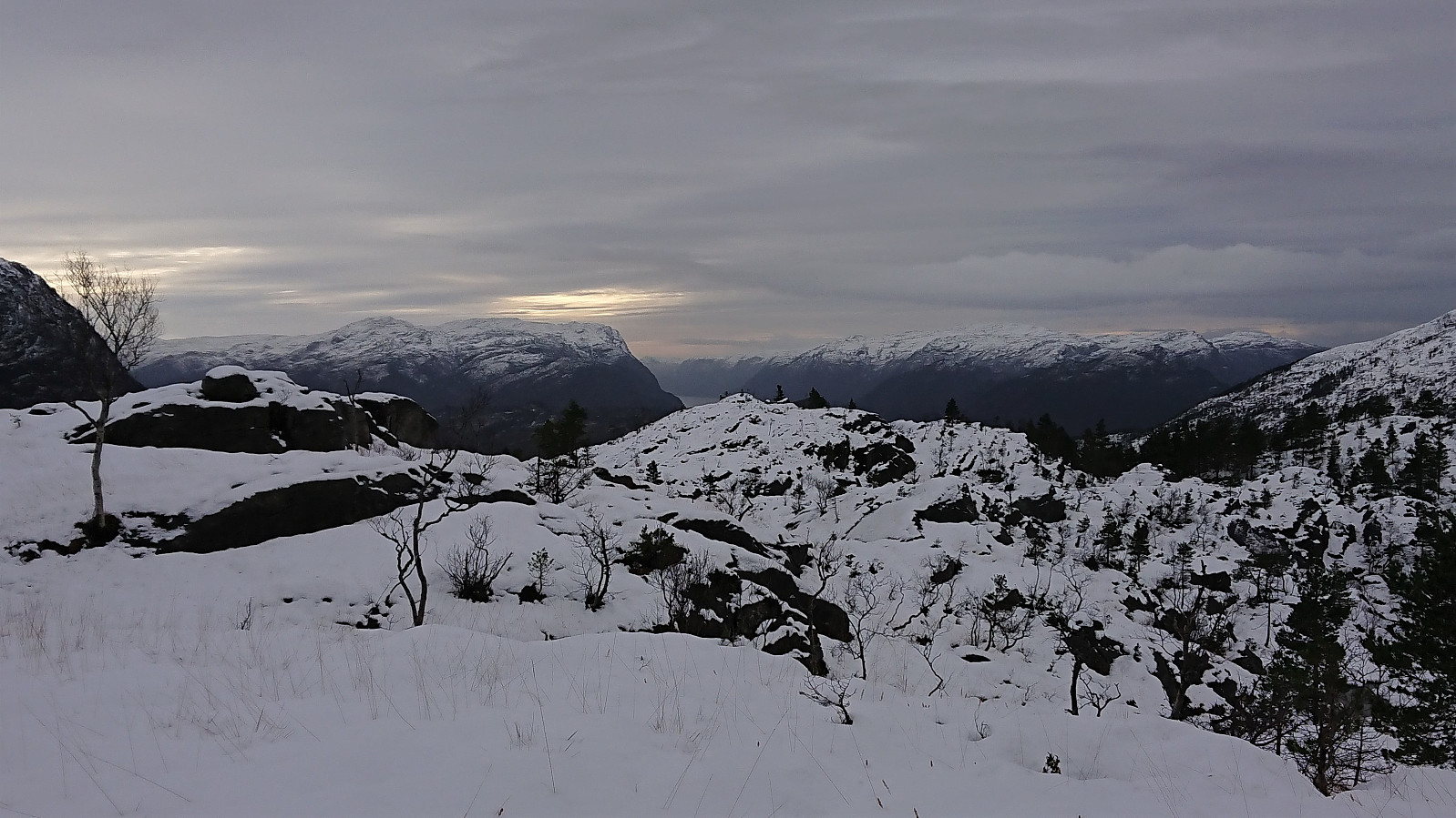
The first part of the ascent required some easy scrambling (which can most likely easily be avoided by heading slightly further north), although it can perhaps only be called scrambling due to the increasing amount of slippery snow. Given that the scrambling would have turned to climbing if continuing the ascent from the south/southeast, I instead went for Rune's descent route and followed the wide ledge west of the summit before finding a route only requiring easy scrambling (again maybe only due to the snow).
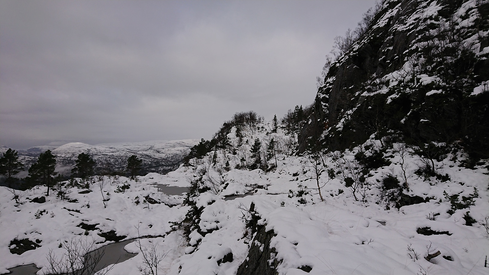
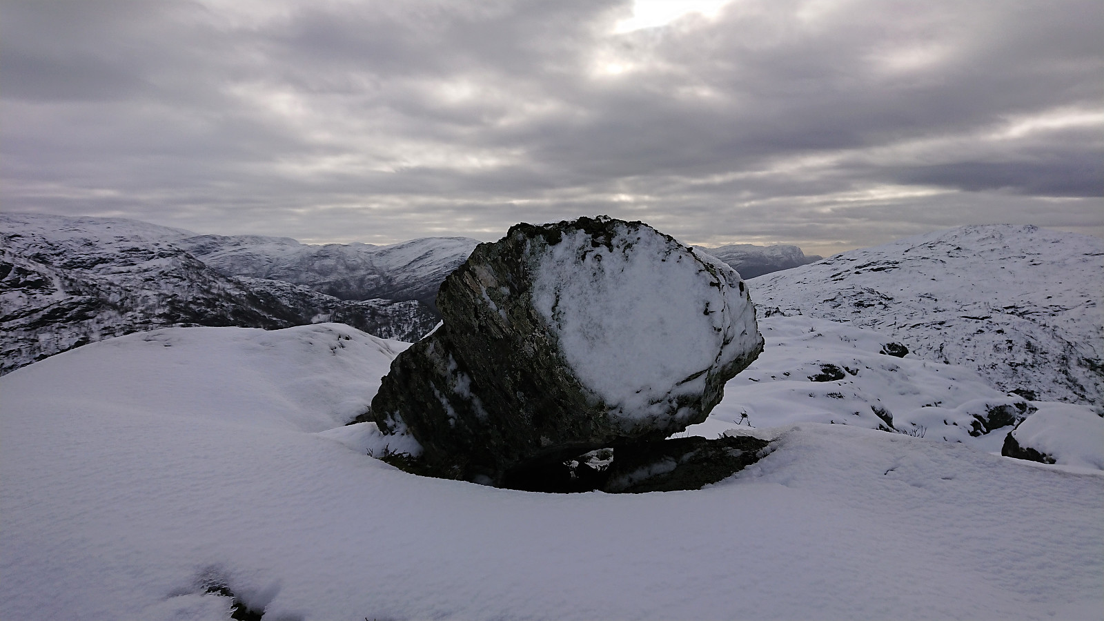
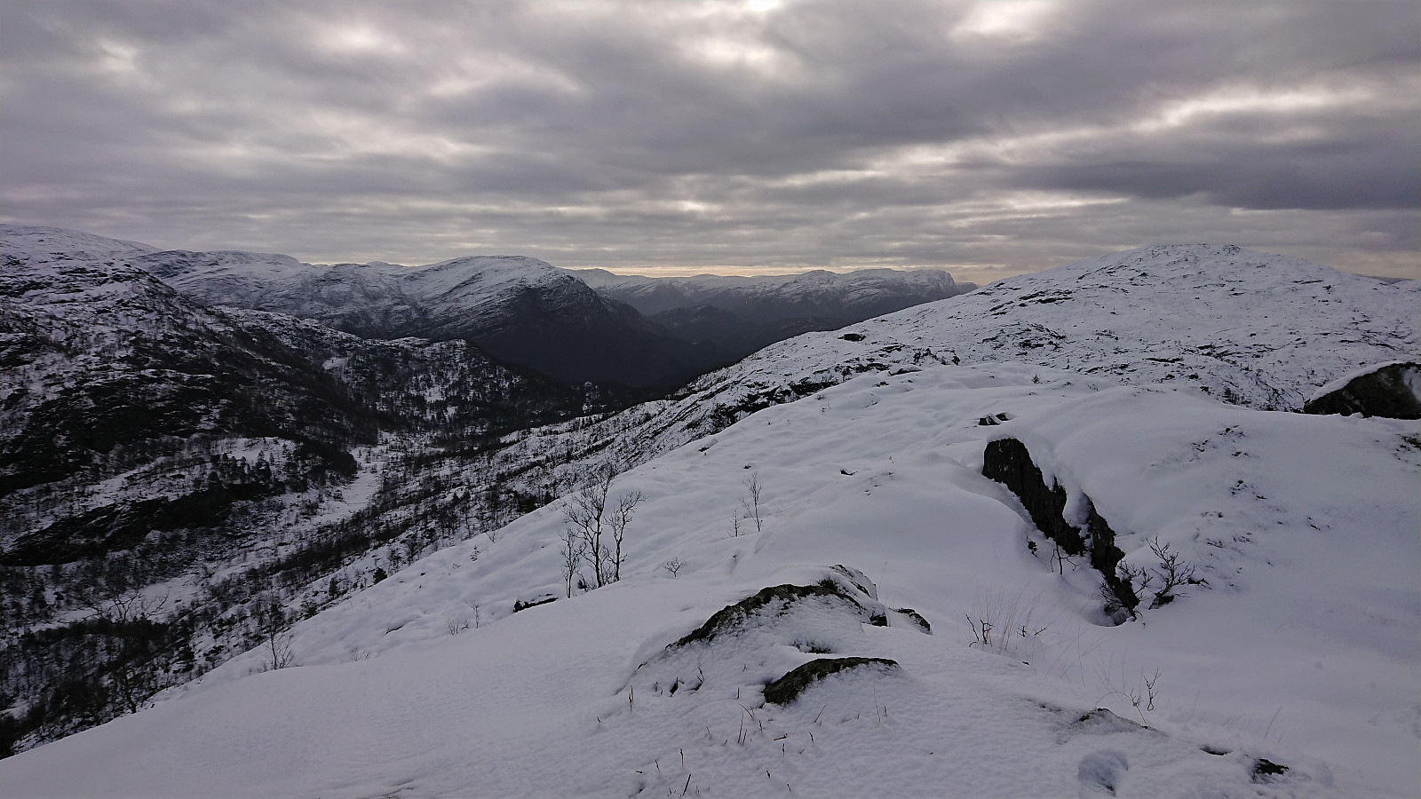
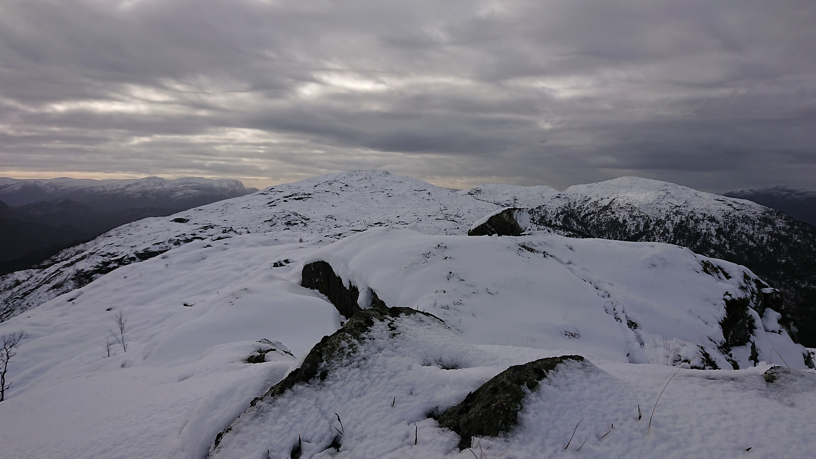
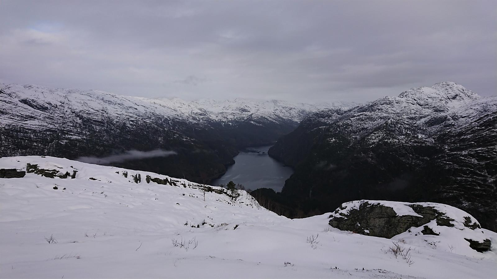
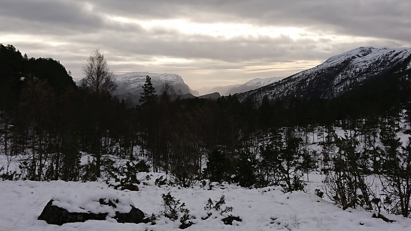
In the end the summit was therefore reached without any real challenges. It included a fallen trig marker and provided excellent views in all directions. I could even spot Mofjorden if heading a couple of meters north of the summit. I however had a bus to catch and did not stay long before starting the descent in which I basically followed my own footprints.
I had initially also hoped to visit Midtnakken, but the slower speed due to the snow meant that this had to be abandoned. Back at Eidsstølen, I therefore had time for quick lunch break before continuing back to the main road, taking it relatively slow, both to reduce the waiting time at the bus stop, but also to take extra care as the final descent was quite slippery.
In summary, a tougher hike than expected given the amounts of snow (from around 300 meters above sea level). The hike was still highly enjoyable though with the numerous deer greatly adding to the atmosphere. Overall, this hike reminded me of my trip to Solarårsen, and can be highly recommended if you like hikes that feel a bit like a miniature expedition, at least if done during winter time.

| Startzeitpunkt | 23.10.2021 10:16 (UTC+01:00 SZ) |
| Endzeitpunkt | 23.10.2021 14:58 (UTC+01:00 SZ) |
| Gesamtzeit | 4h 42min |
| Zeit in Bewegung | 4h 16min |
| Pausenzeit | 0h 25min |
| Gesamtschnitt | 2,3km/h |
| Bewegungsschnitt | 2,5km/h |
| Entfernung | 10,9km |
| Höhenmeter | 911m |

Benutzerkommentare