Kattnakken, Mehammarsåto and Grønafjellet (17.10.2021)

| Startpunkt | Bortveit/Børtveit (32m) |
|---|---|
| Endpunkt | Vestvik/Vistvik (34m) |
| Tourcharakter | Bergtour |
| Tourlänge | 6h 39min |
| Entfernung | 22,3km |
| Höhenmeter | 1.248m |
| GPS |
|
| Besteigungen | Grønafjellet (623m) | 17.10.2021 |
|---|---|---|
| Kattnakken (723m) | 17.10.2021 | |
| Fitjarhesten (678m) | 17.10.2021 | |
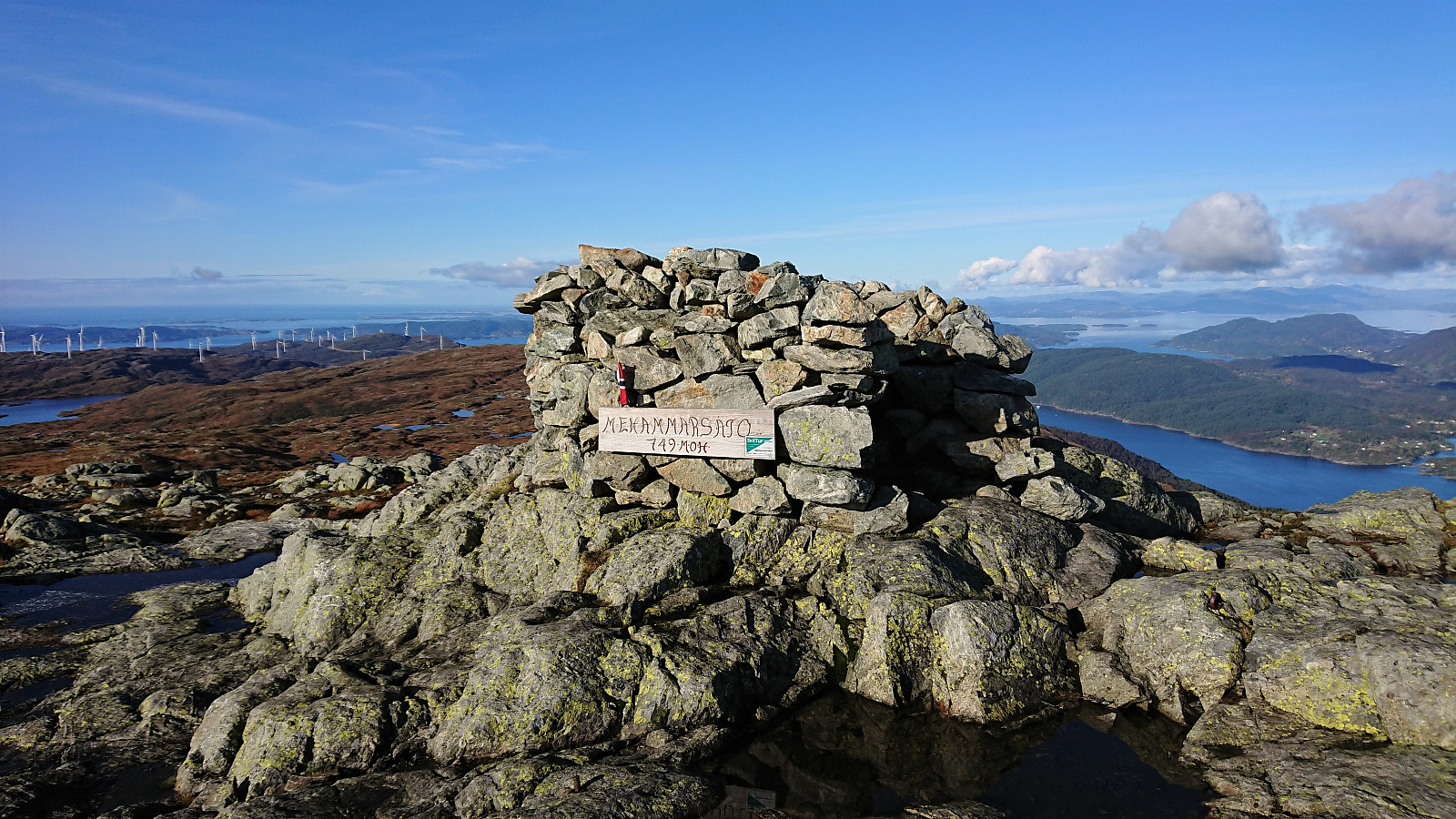
| Mehammarsåto (749m) | 17.10.2021 | |
| Besuche anderer PBE | Børtveit bom parkering (85m) | 17.10.2021 |
| Tindaslottet (575m) | 17.10.2021 |
Kattnakken, Mehammarsåto and Grønafjellet
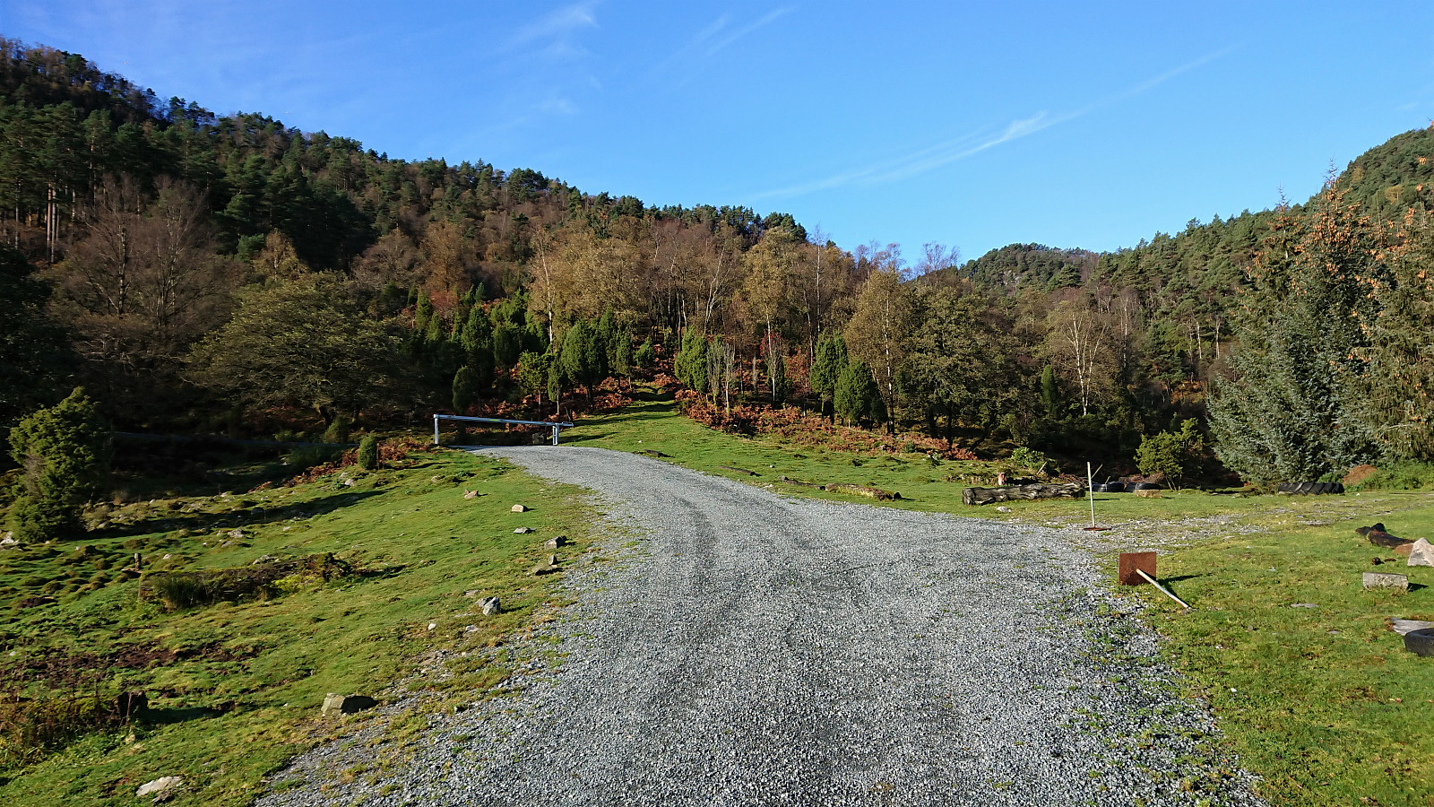
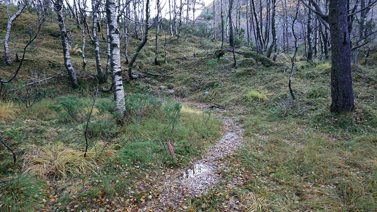
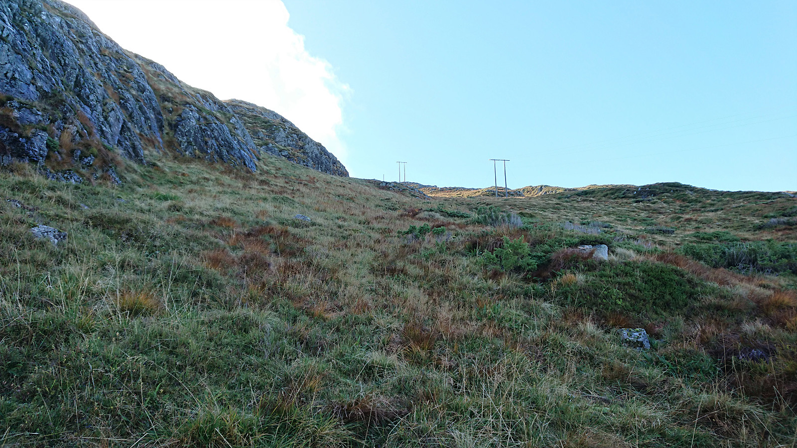
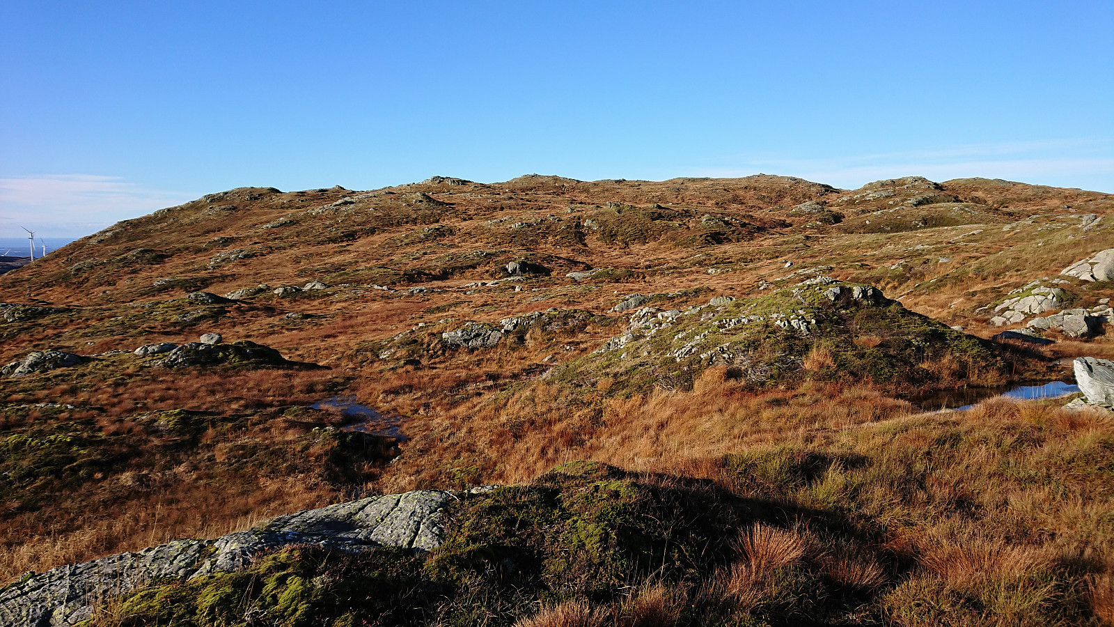
I started by taking the express bus to Stord and getting off at the bus stop called Børtveit (Bortveit on the map). I then proceeded to follow the gravel road up to Svartavatnet where I inspected the map and found a possible shortcut to Kattnakken from the northeast. The plan was to continue southeast along the trail starting from north of Svartavatnet and then follow the overhanging power lines towards the summit. However, I initially missed the trailhead and continued a bit too far on the gravel road. But after an off-trail shortcut I managed to connect with the trail, which was even marked with occasional red markers and I even spotted a red T. It did not seem like a very heavily used trail though.
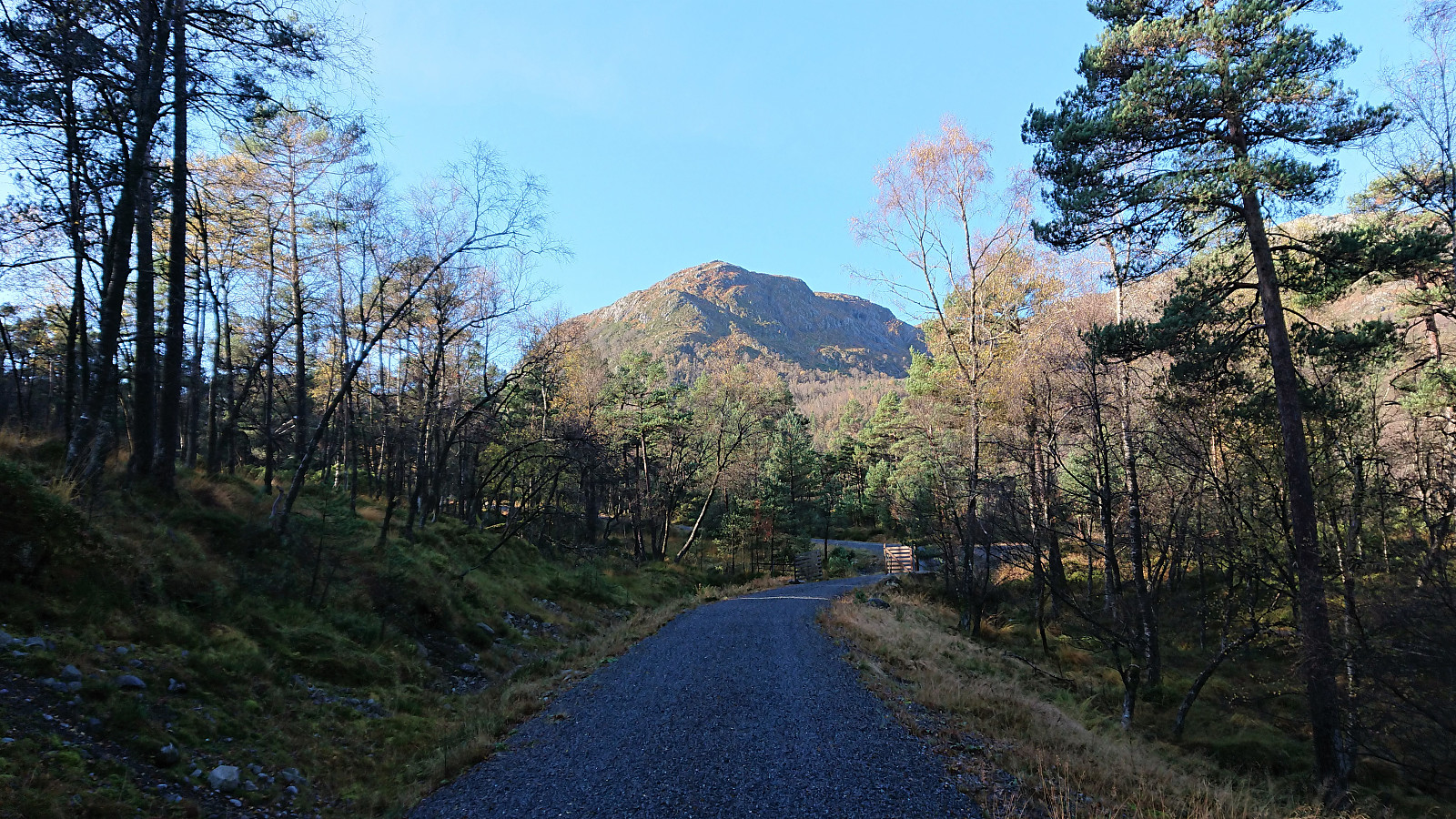
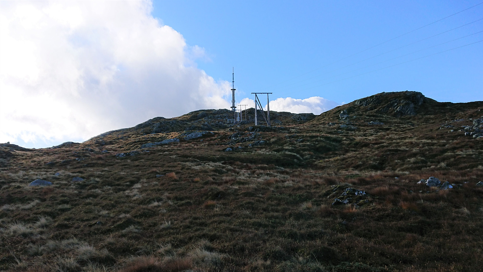
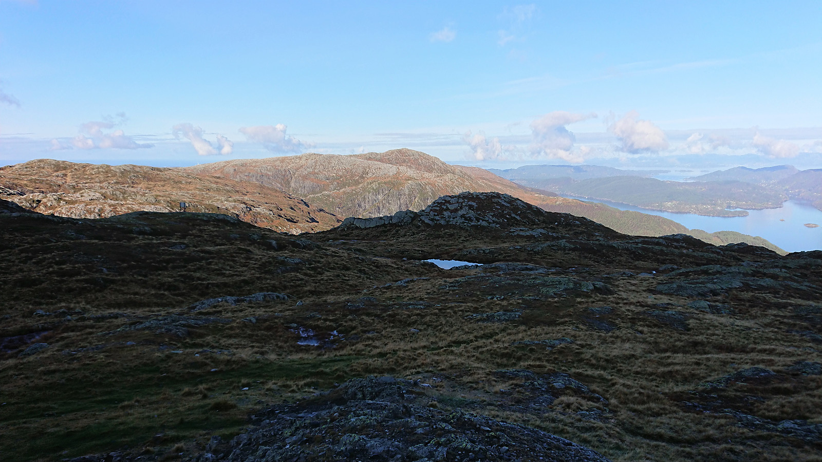
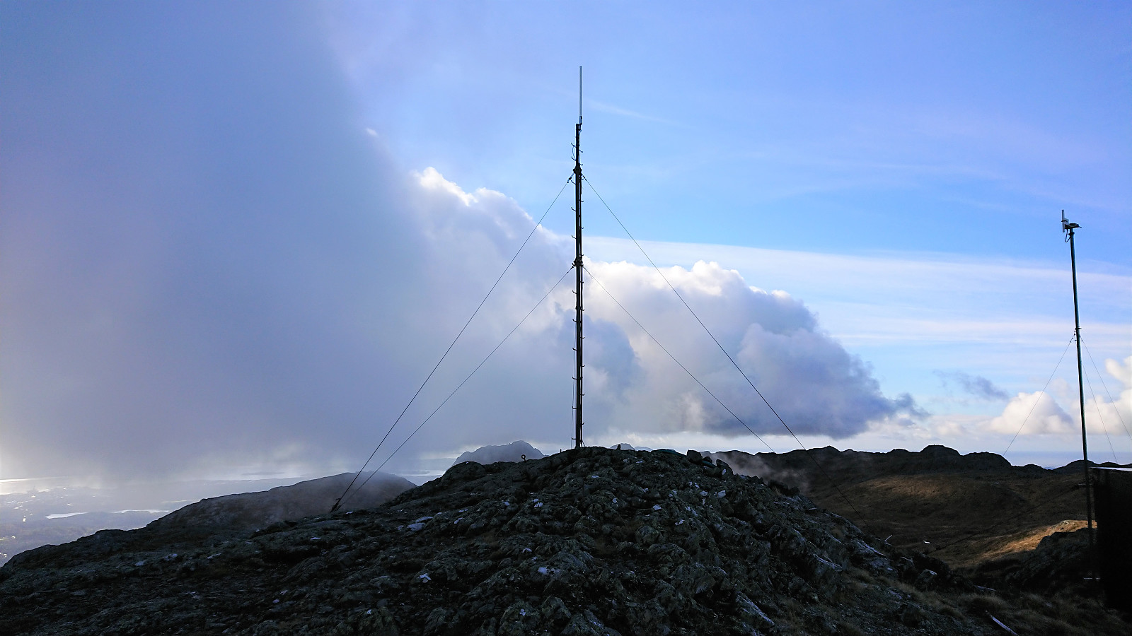
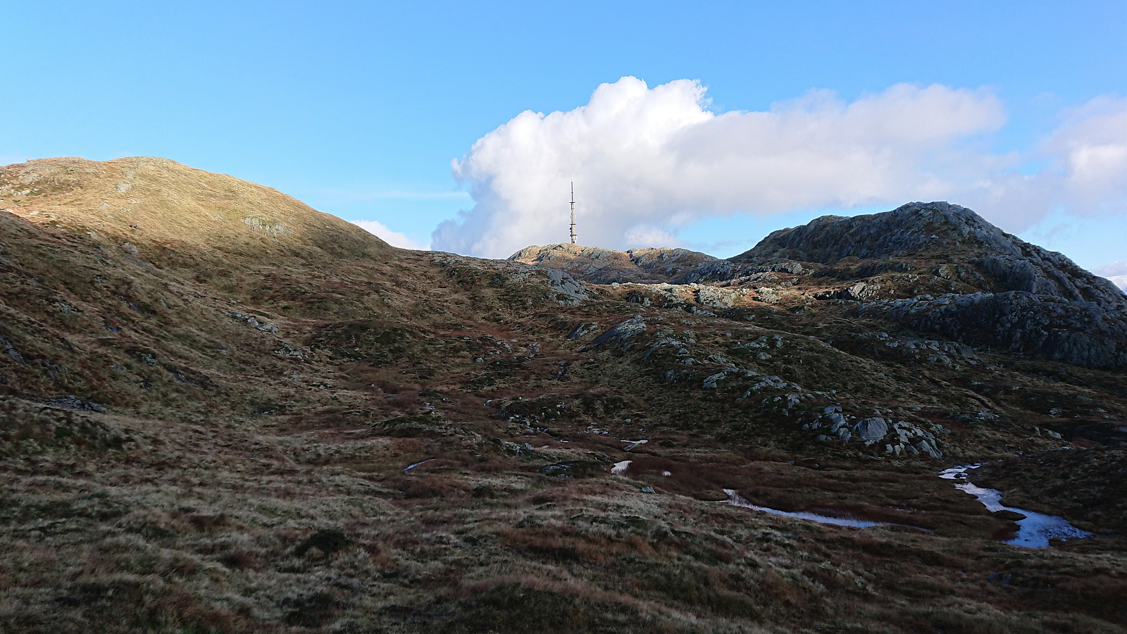
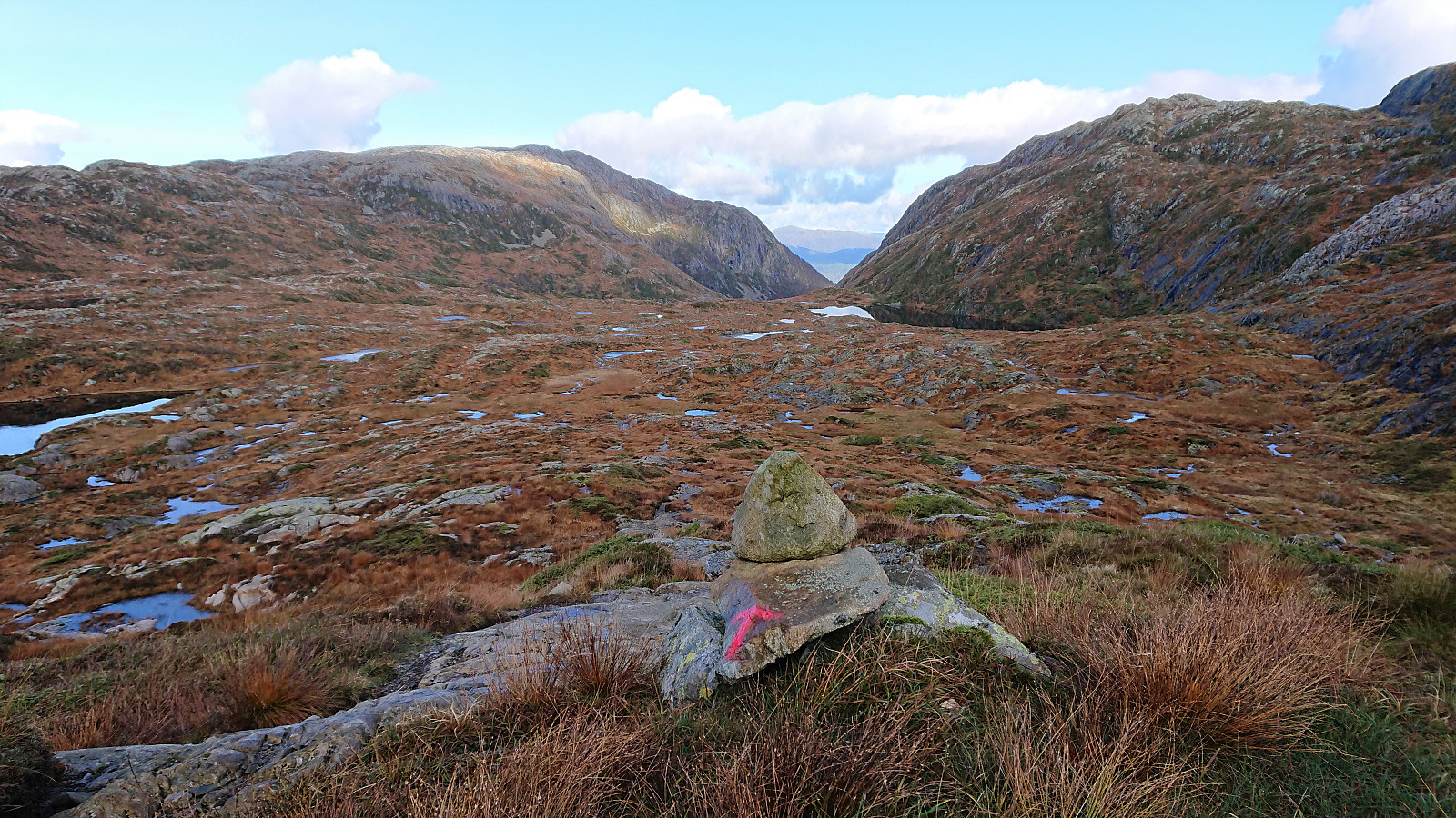
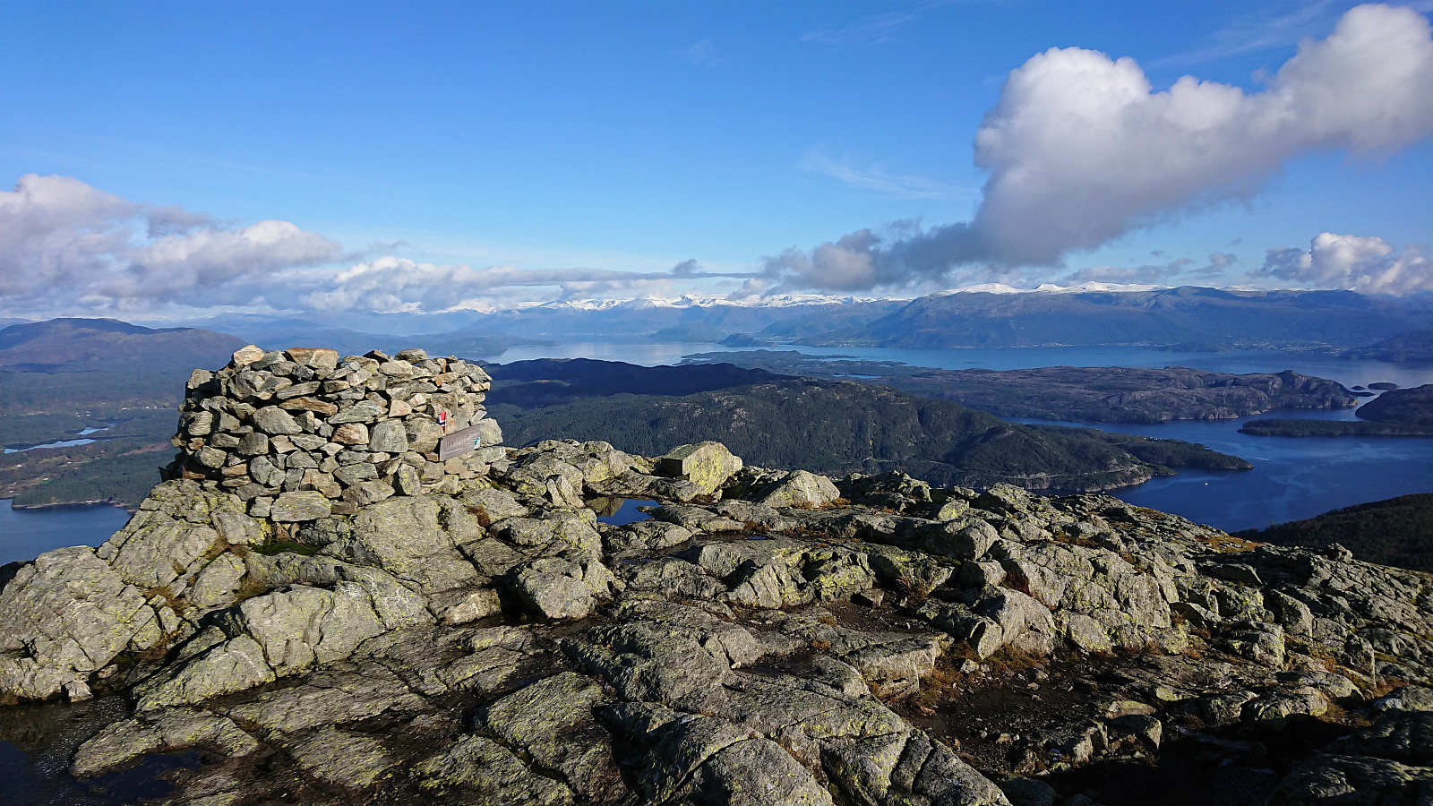
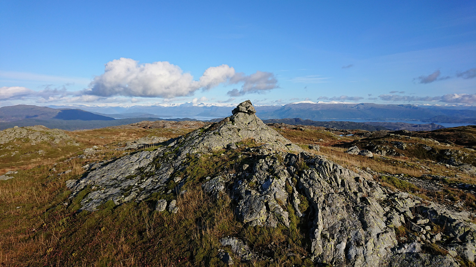
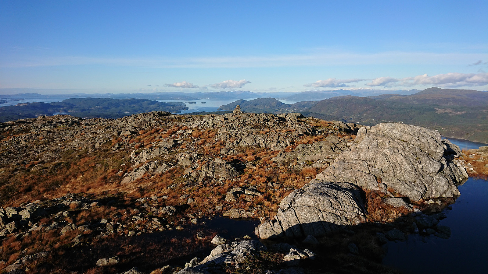
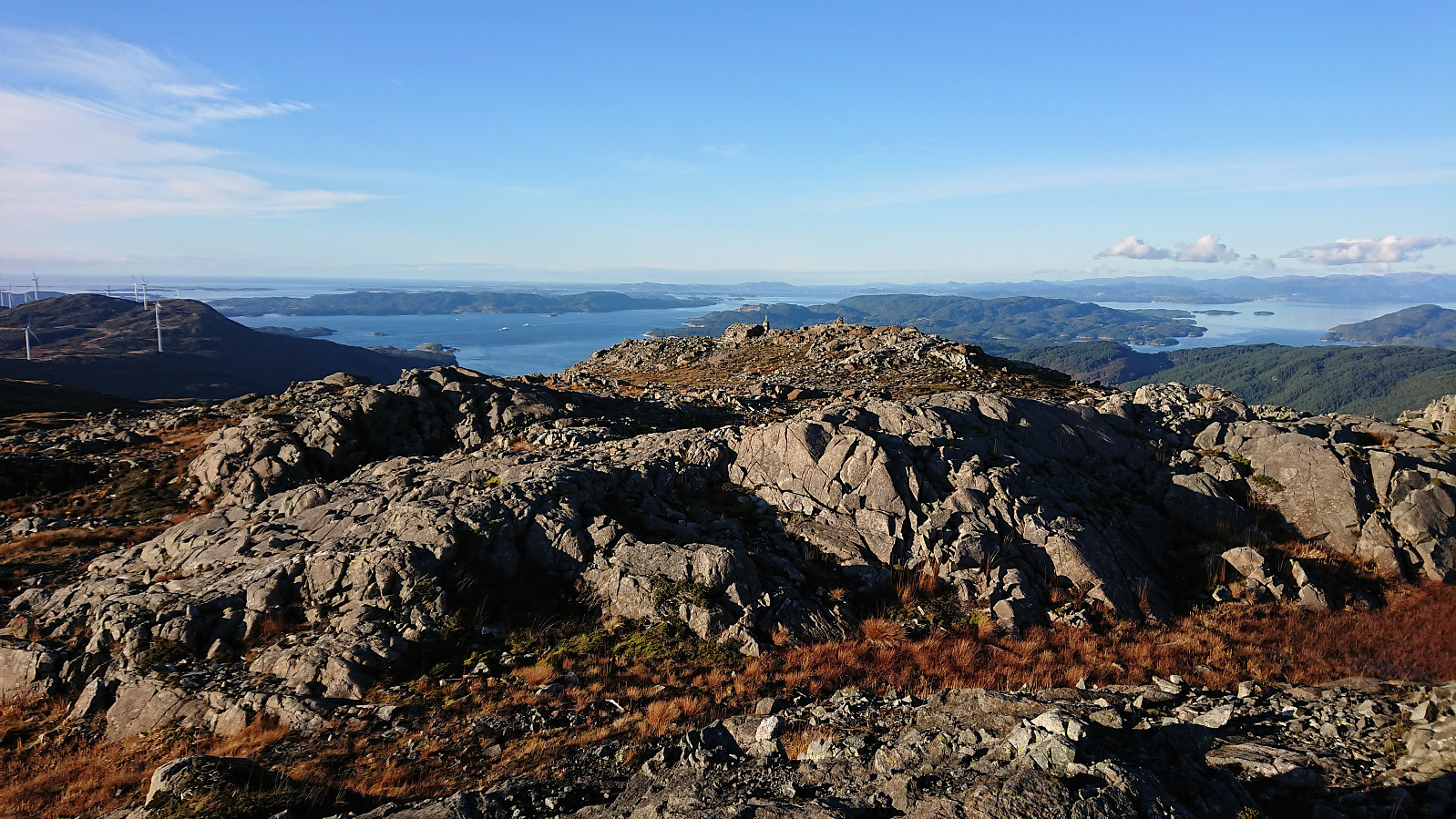
Shortly after passing underneath the power lines I turned southwest and headed off-trail in the direction of the summit, following a not too steep grass-covered incline all the way. I thus arrived at the summit without any real difficulties, happy to have avoided the longer detours required if using the trails indicated on the map. Excellent views from Kattnakken, although slightly limited by clouds/fog coming in from the west just as I got to the large antenna next to the summit.
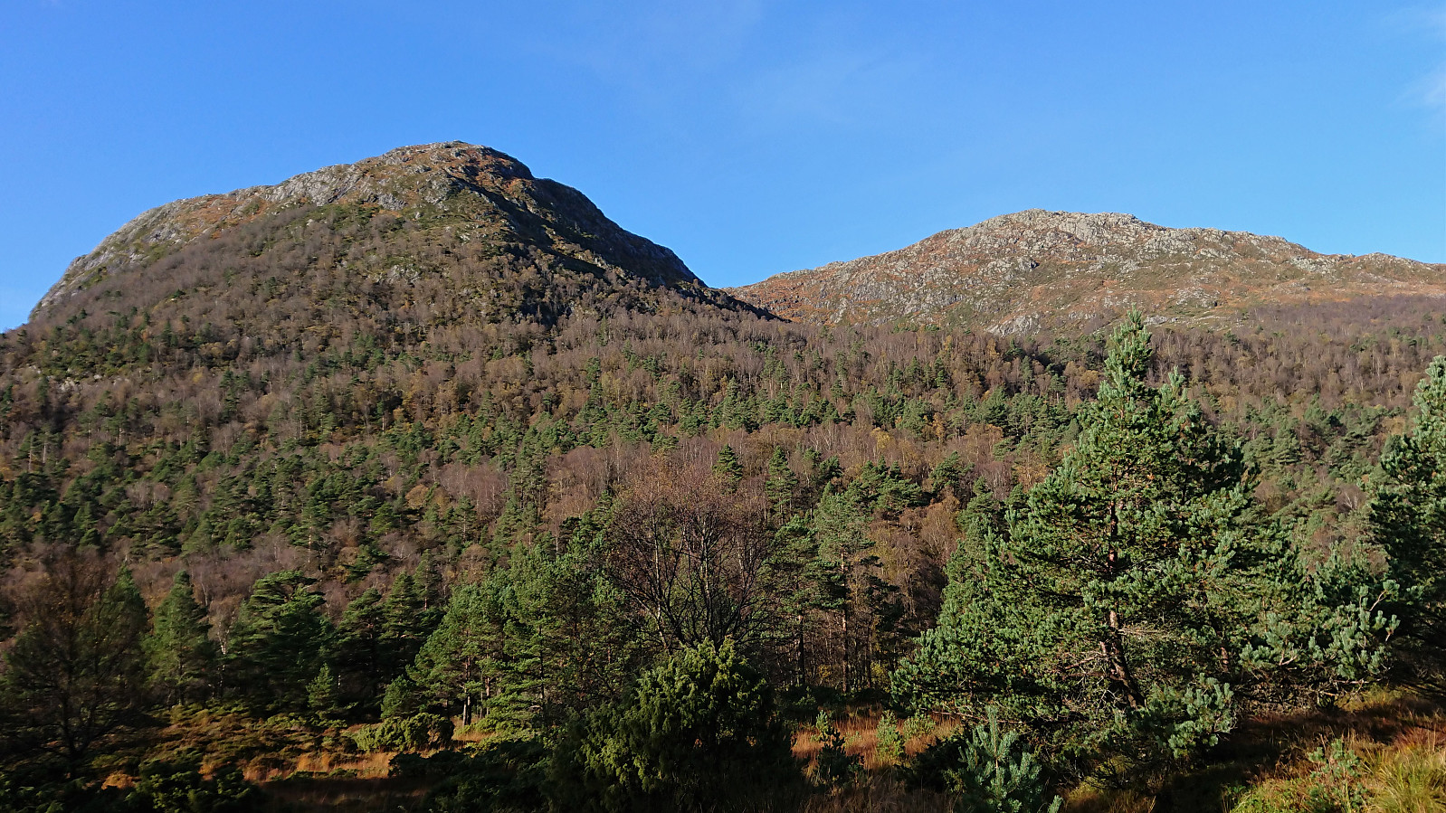
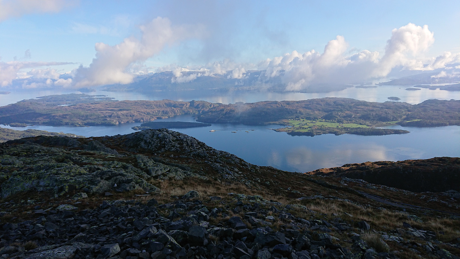
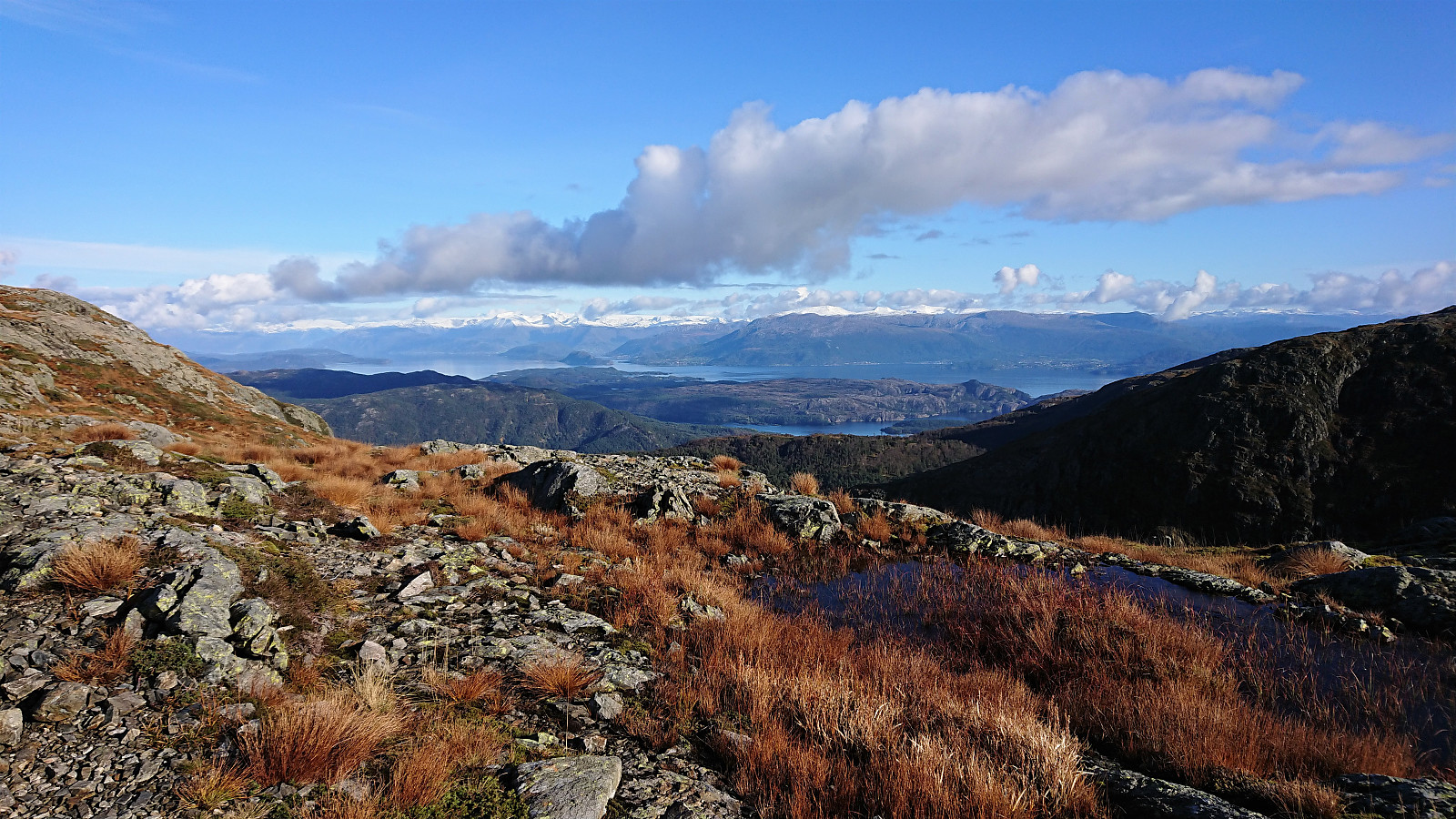
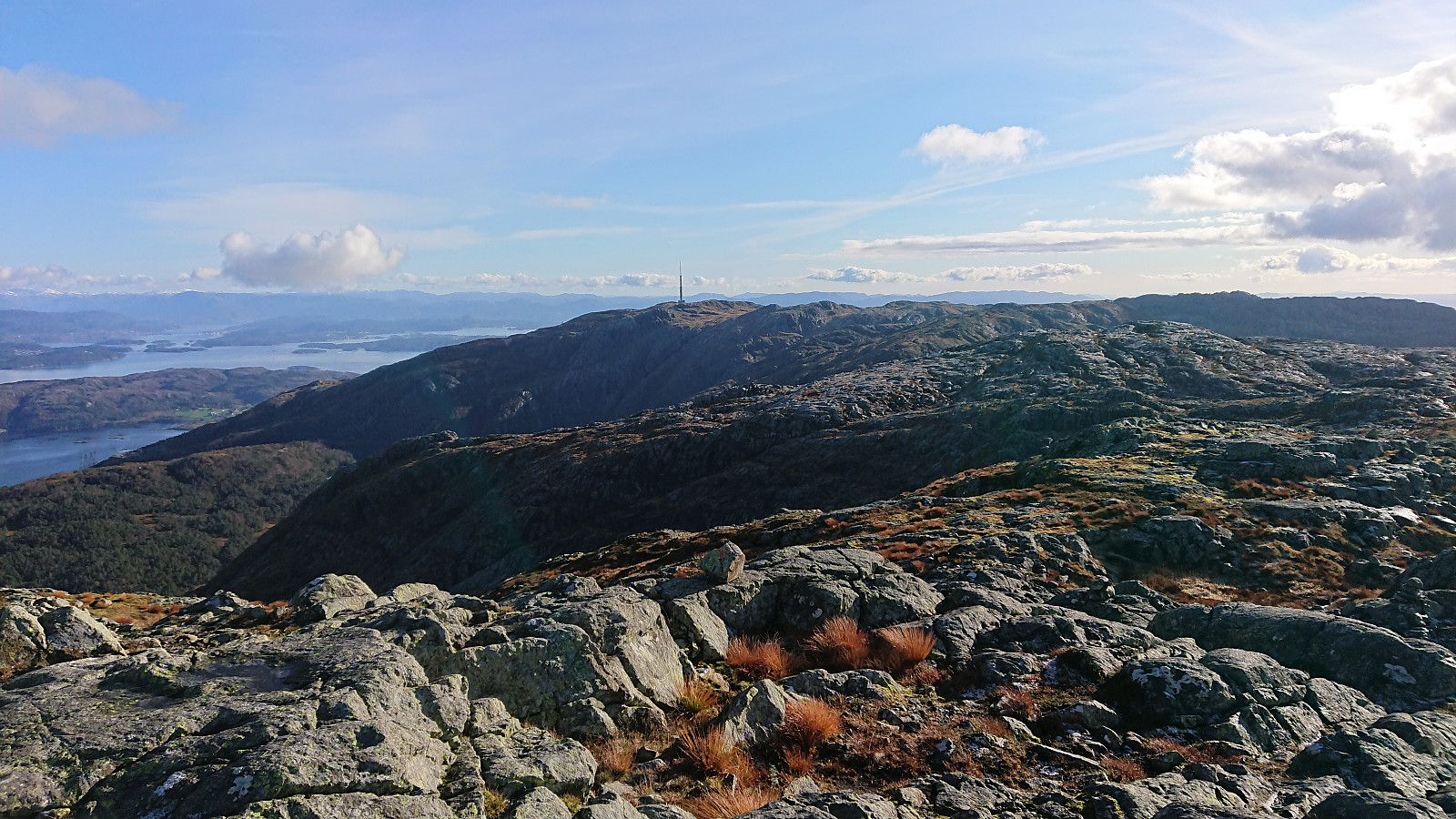
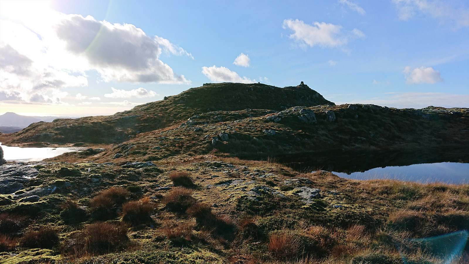
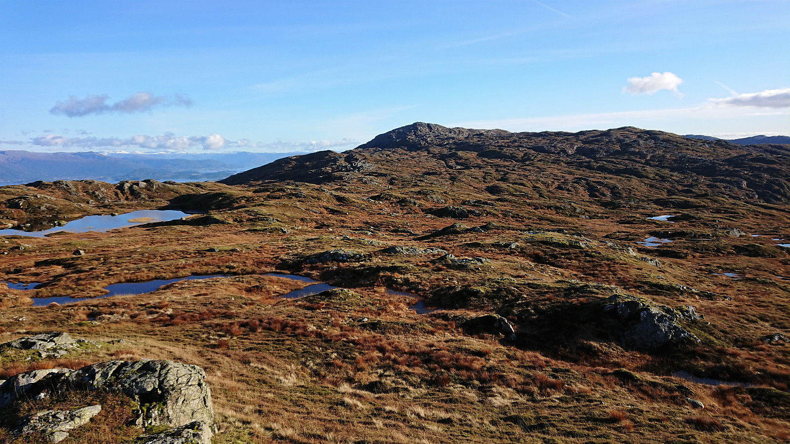
From Kattnakken, I probably could have made my own shortcuts towards Mehammarsåto, but decided to simply stick with the trails, and while this may not be the shortest route, I do not think it took me much longer. Within not too long, I was in the valley between Kattnakken and Mehammarsåto and ready to continue my ascent. The summit of Mehammarsåto was reached without any issues and provided excellent panoramic views, even better than from Kattnakken due to the clouds/fog now having disappeared.
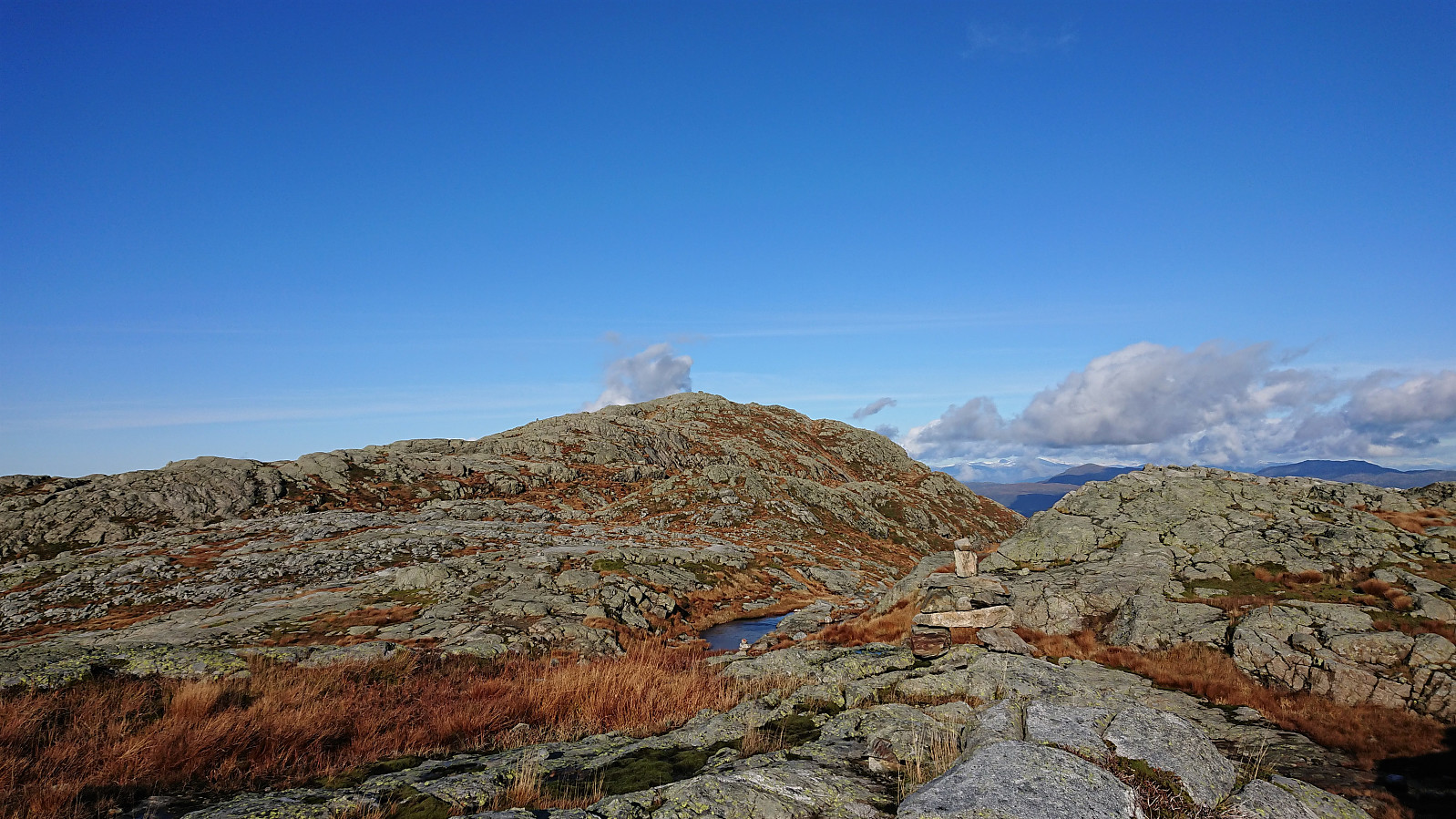
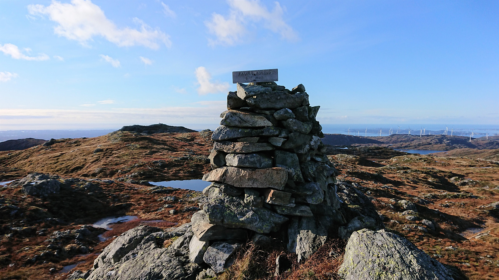
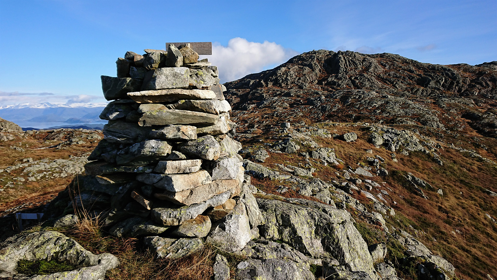
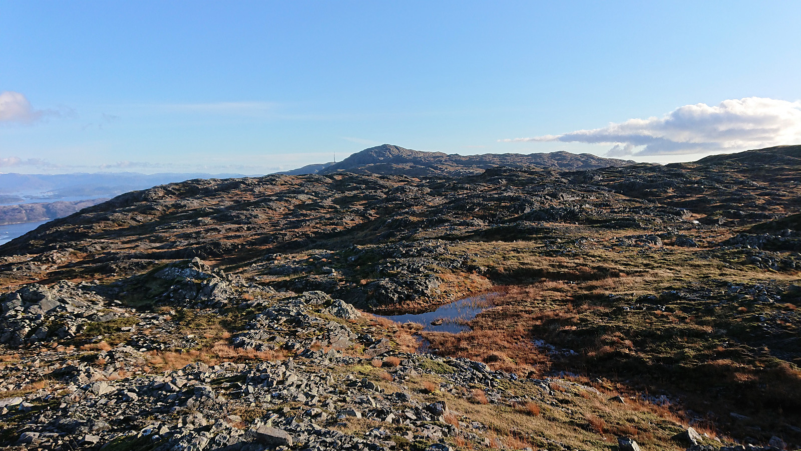
After a quick lunch break at Mehammarsåto, I carefully descended down the steeper, and today icy, northwest side and started towards the last goal of the day: Grønafjellet, a minor peak on the Opptur Hordaland list. In fact, I was now so focused on Grønafjellet that I almost forgot to stop by Fitjarhesten (the highest point in Fitjar) even though it was right next to the trail, and would probably have missed it completely if it had not been for the sign.
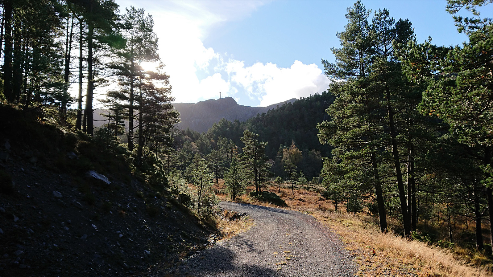
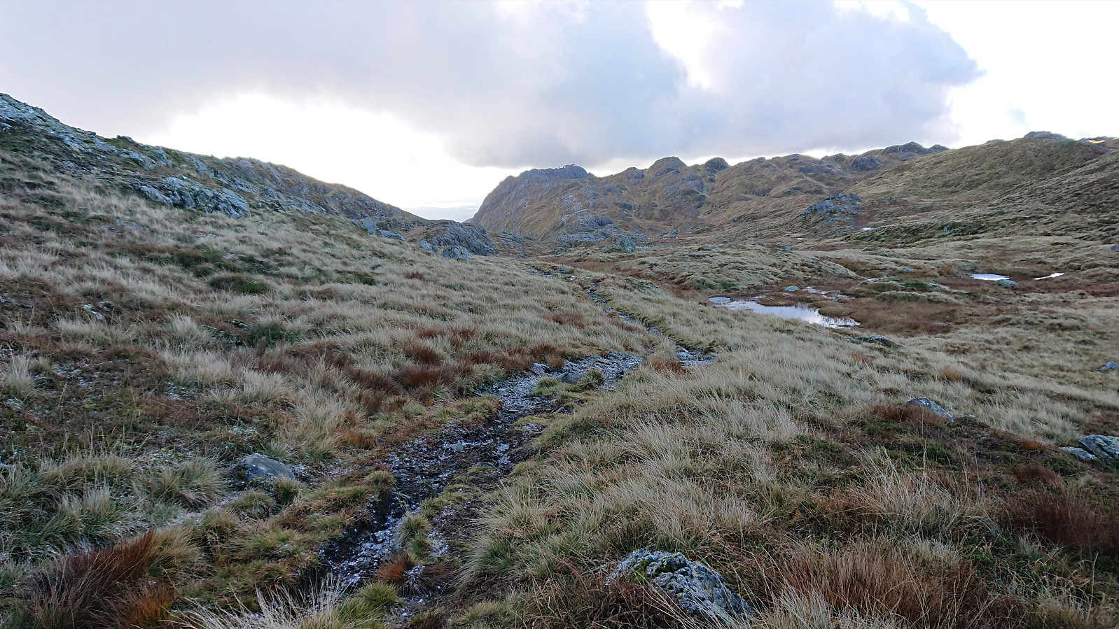
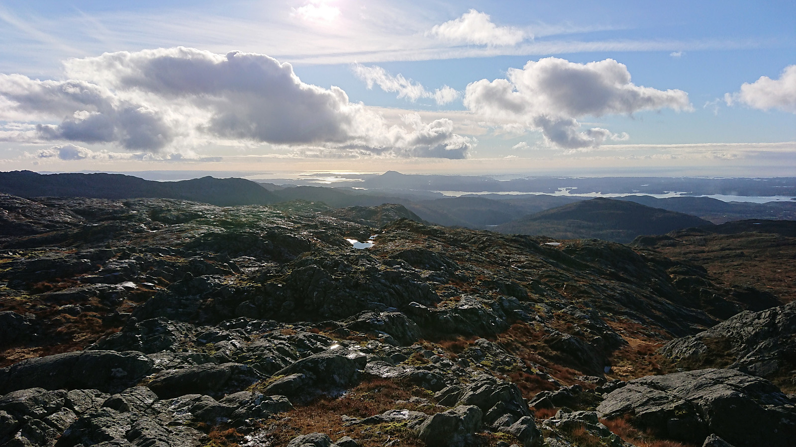
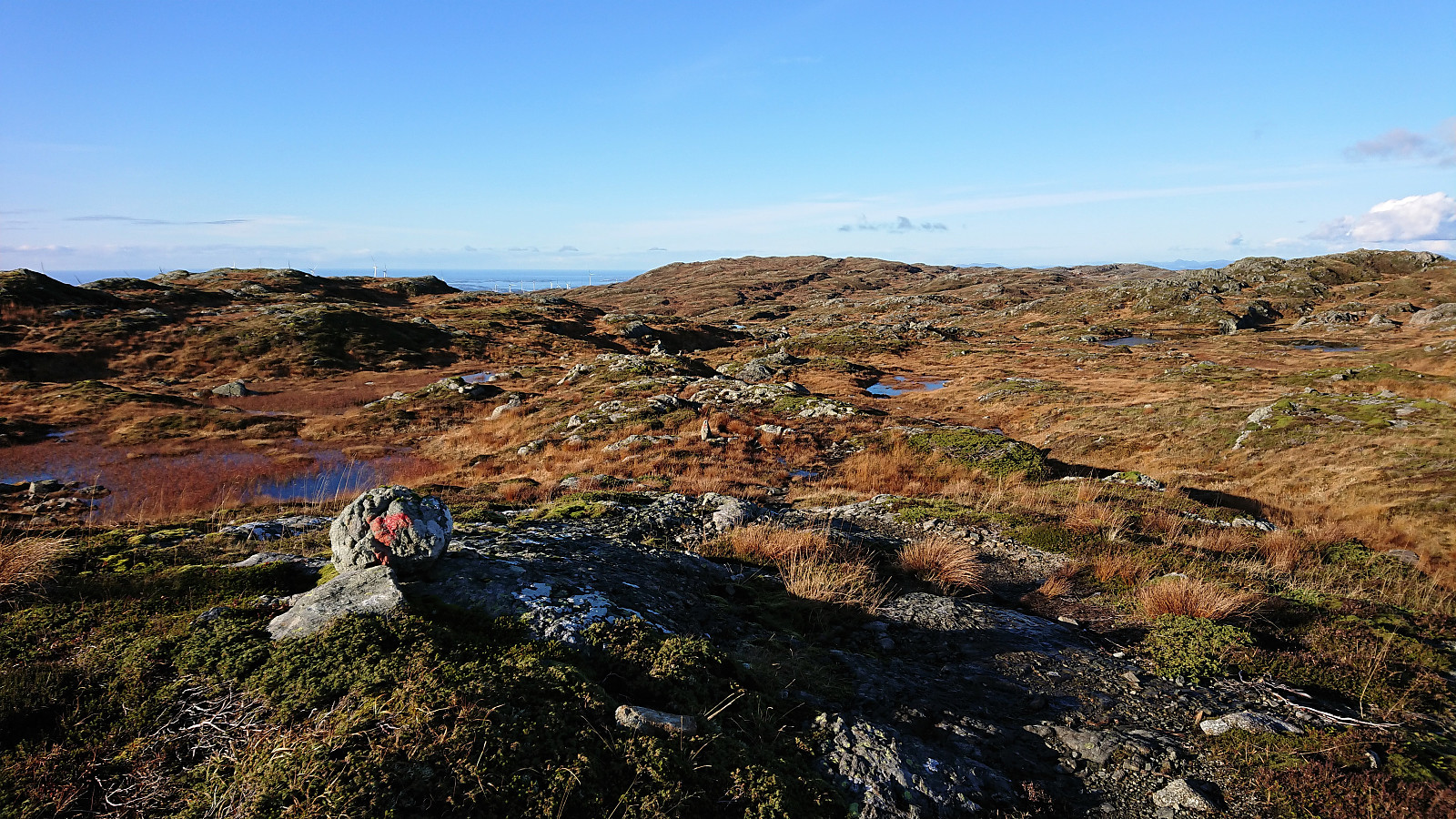
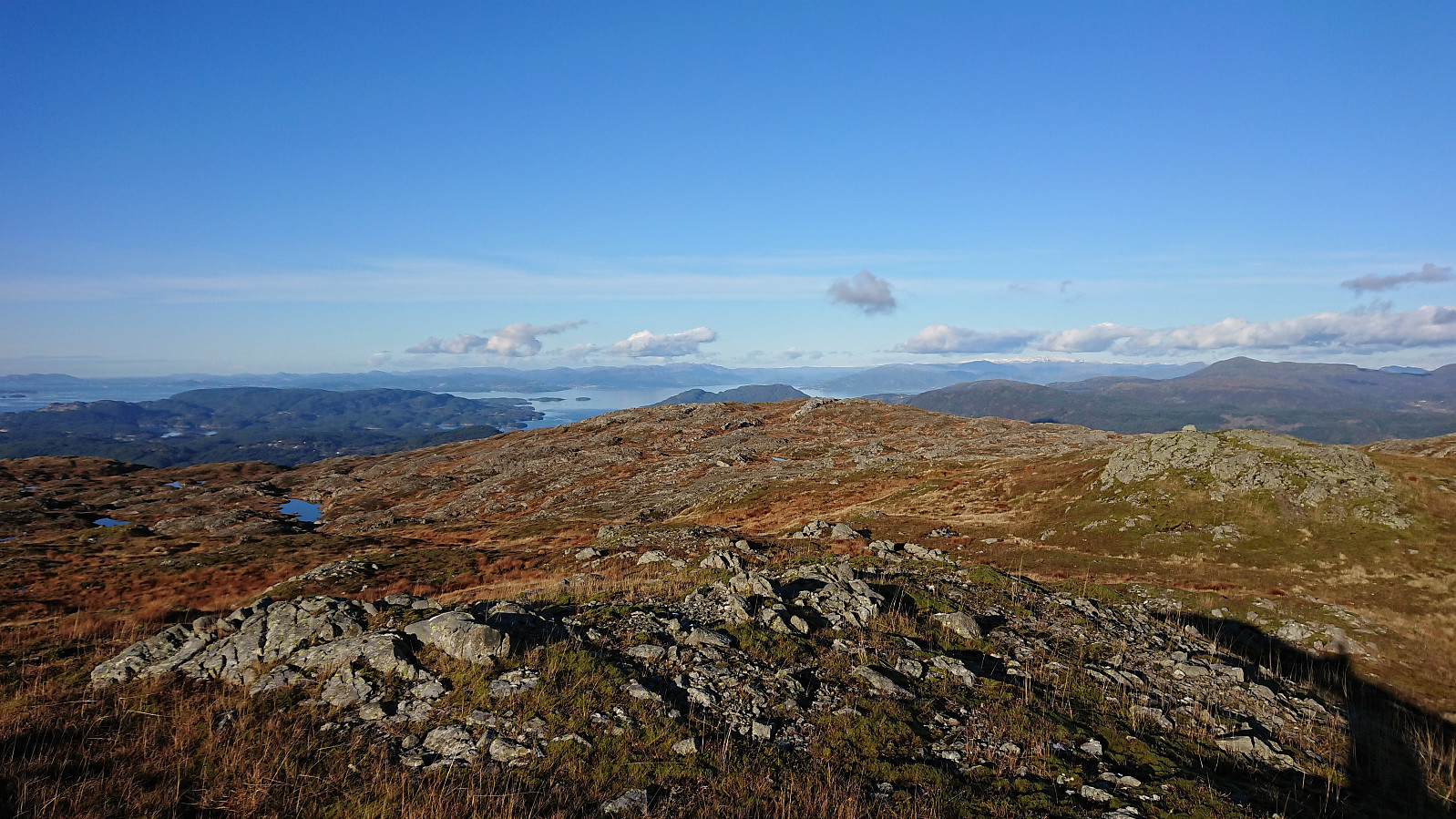
Back on the marked trail I continued in the direction of Grønafjellet, but when it became clear that the trail was not heading for the summit, I left the trail behind and instead made my own way. This was overall unproblematic as the terrain was easy to hike and the direction was obvious. Spotting the highest point at Grønafjellet was less clear, so I simply traversed the ridge from west to east.
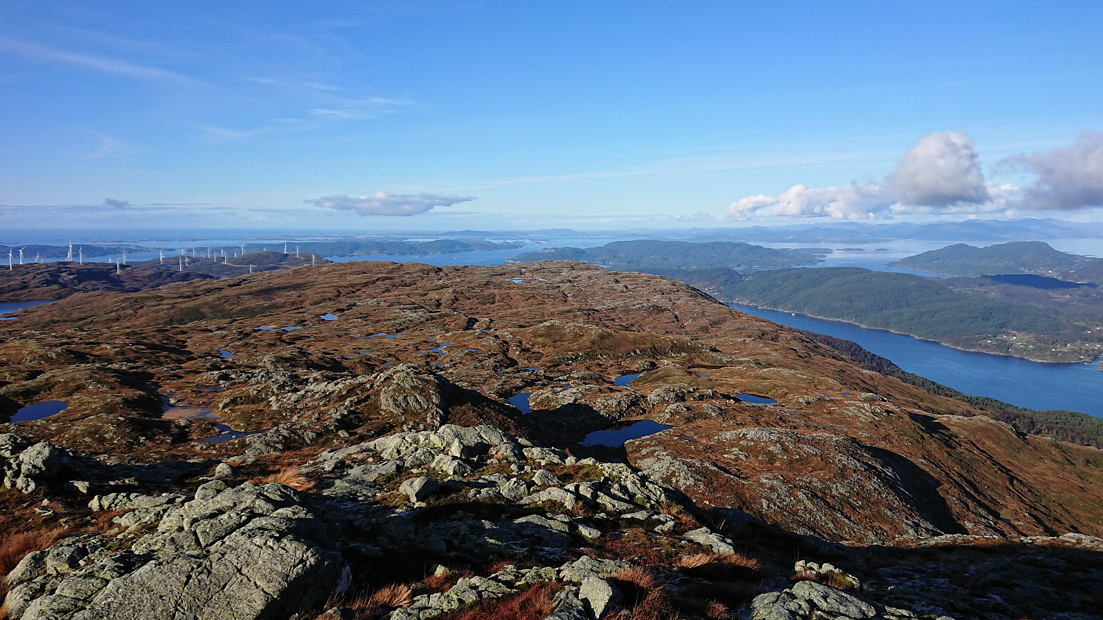
I could now either return west to the marked trail or head north to Tindane and Tindaslottet. I went for the latter, as I had read that there would be a trail from Tindaslottet down to Vestvik/Vistvik. Did not see any trails from Grønafjellet towards Tindane/Tindaslottet though, but the terrain did not present any difficulties except for a couple of small lakes that had to be avoided.
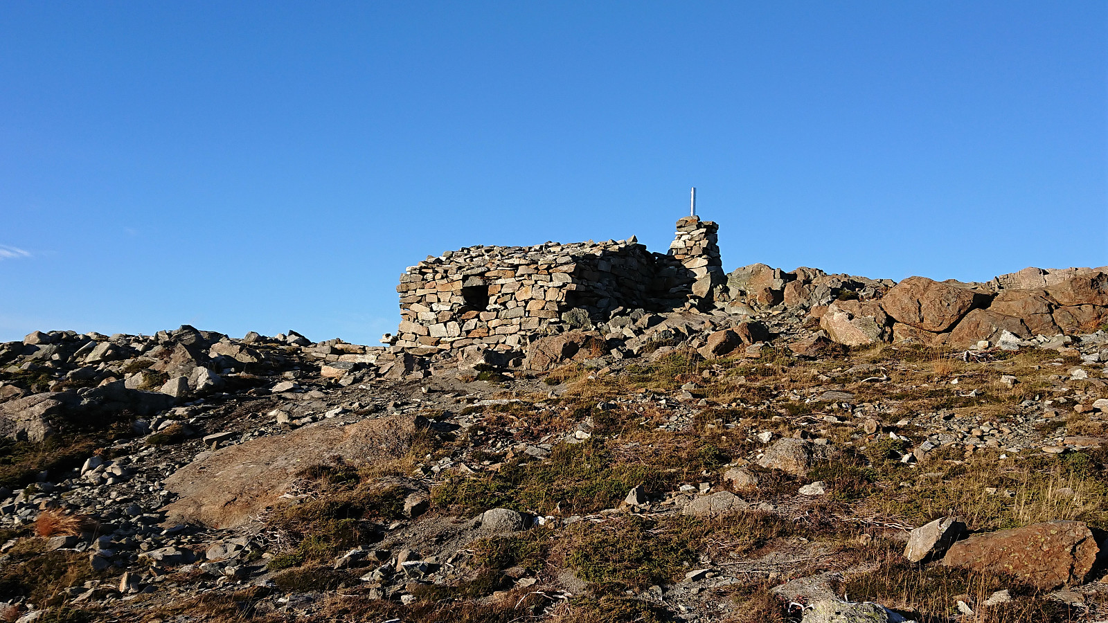
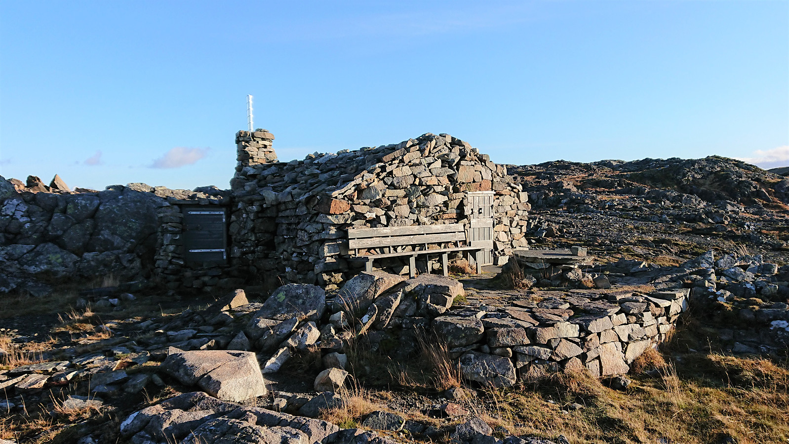
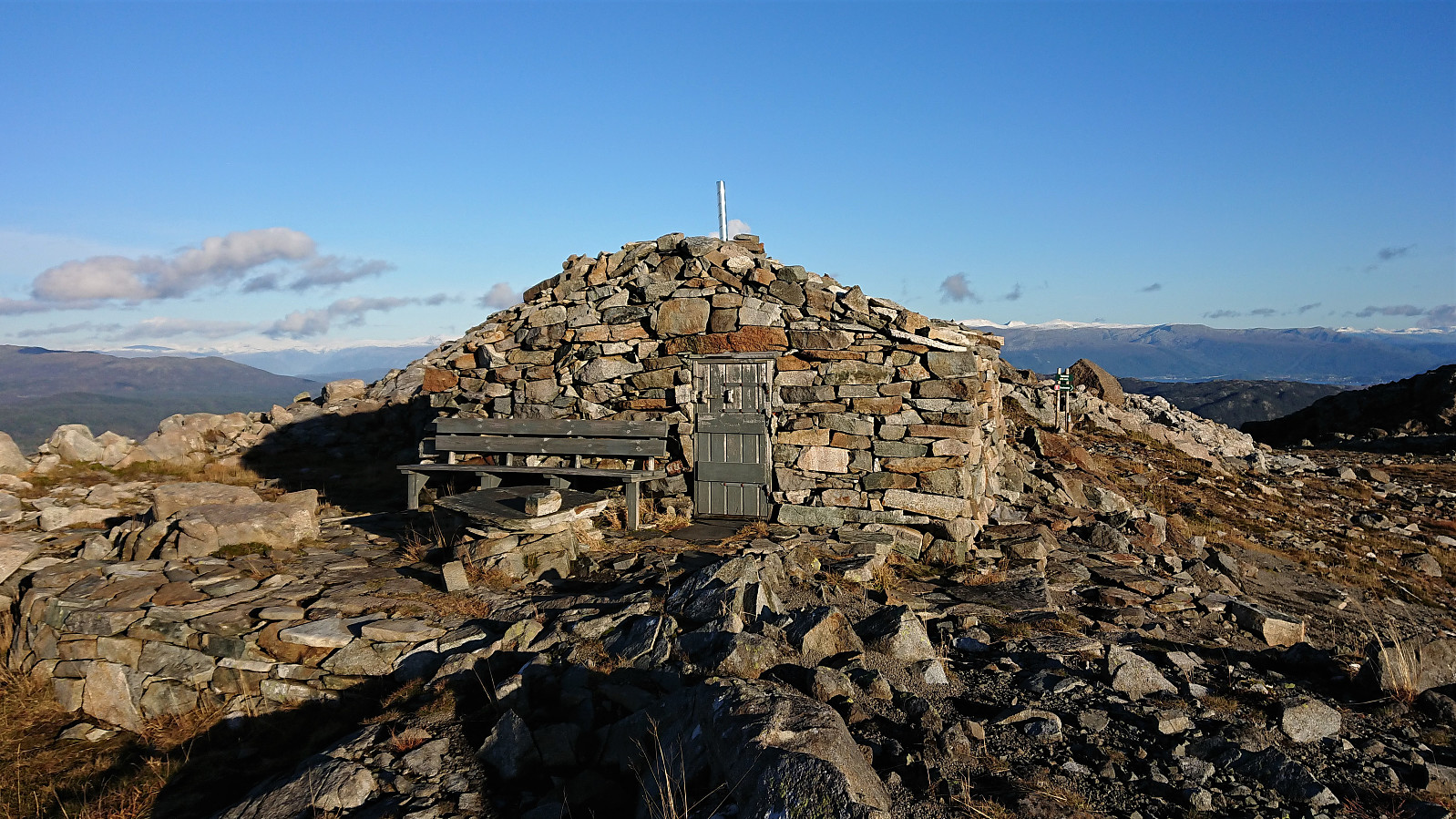
Tindane consisted of three small hills of almost equal height where the southwestern one seemed to be the highest. However, there are also higher points further south, hence I did not add Tindane as a new PB-element. Shortly after leaving Tindane I came across a trail marked with red T's which lead me to the unusual-looking small cabin called Tindaslottet. From the outside it looks completely made from stone, but by closer inspection there seems to be a wooden structure underneath.
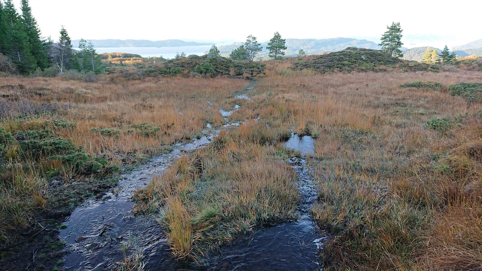
All that was left was now to follow the marked trail down to Vestvik/Vistvik. Or so I thought. The problem was that I could not see any trail or trail markers. I did however spot a couple of small cairns and headed in that direction. These soon came to an end though and I had to cheat a bit (i.e. check the route from Vistvik Tindaslottet Rundtur from ut.no) in order to locate the trail.
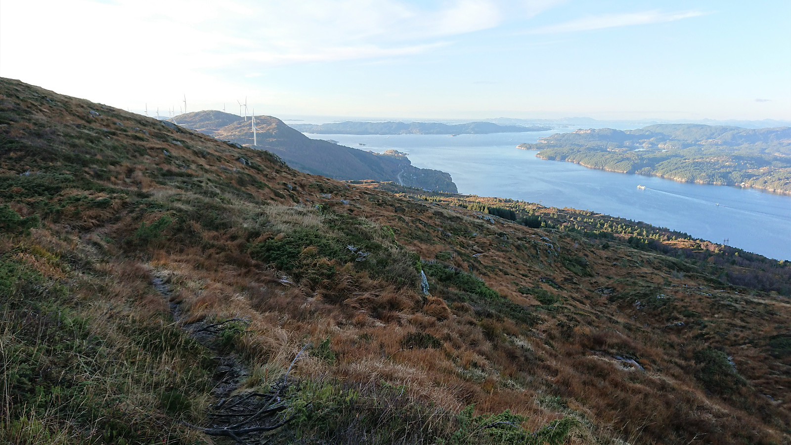
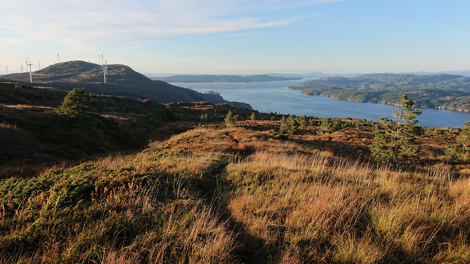
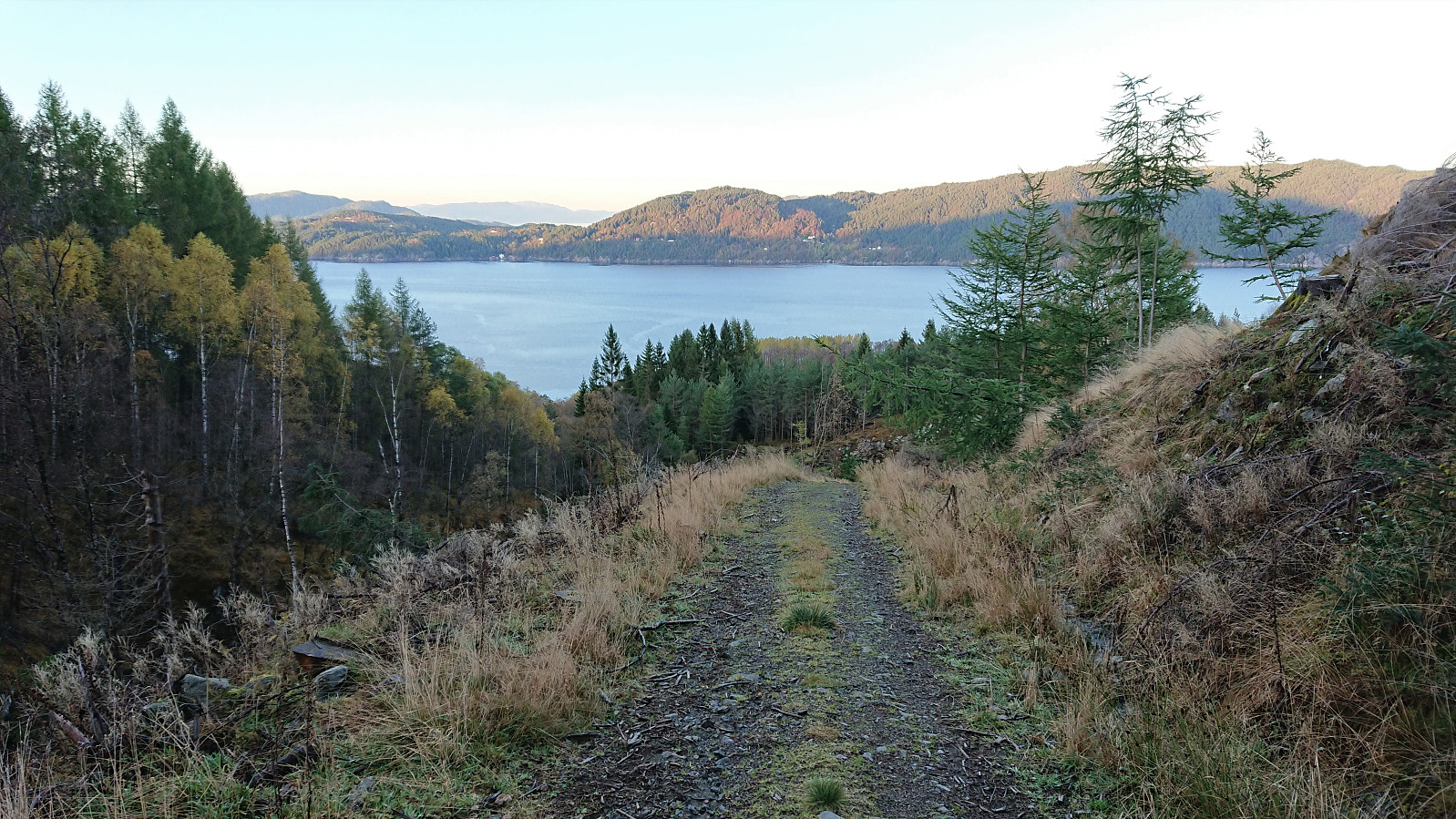
From there on it was overall straightforward to reach the tractor road taking me to the main road. Note that the trail quality was highly variable though and at times looked and felt more like a stream. Finally arriving at the bus stop at Vestvik/Vistvik there was only the small matter of the bus actually showing up. Which it did, but almost 20 minutes late. Thus giving me plenty of time to think about whether I would have to walk to the ferry at Sandvikvåg.
In summary, except for the poor trail down from Tindaslottet (probably better to return along the marked trail to the (also marked) trail south/southwest of Grønafjellet?), this hike can be very highly recommended and provides an excellent way of visiting both Kattnakken and Mehammarsåto on the same hike without having to retrace your steps. (If you want a shorter hike, it is of course also possible to skip Kattnakken altogether and rather head directly up into the valley in between Kattnakken and Mehammarsåto and ascend Mehammarsåto from there.)
| Startzeitpunkt | 17.10.2021 11:20 (UTC+01:00 SZ) |
| Endzeitpunkt | 17.10.2021 17:59 (UTC+01:00 SZ) |
| Gesamtzeit | 6h 39min |
| Zeit in Bewegung | 6h 02min |
| Pausenzeit | 0h 36min |
| Gesamtschnitt | 3,4km/h |
| Bewegungsschnitt | 3,7km/h |
| Entfernung | 22,3km |
| Höhenmeter | 1.248m |

Benutzerkommentare