Klyvsnolten and Lauvhovden (19.10.2021)

| Startsted | Klyve (260moh) |
|---|---|
| Sluttsted | Klyve (260moh) |
| Turtype | Fjelltur |
| Turlengde | 3t 02min |
| Distanse | 8,2km |
| Høydemeter | 687m |
| GPS |
|
| Bestigninger | Klyvsnolten (730moh) | 19.10.2021 |
|---|---|---|
| Lauvhovden (814moh) | 19.10.2021 |
Klyvsnolten and Lauvhovden
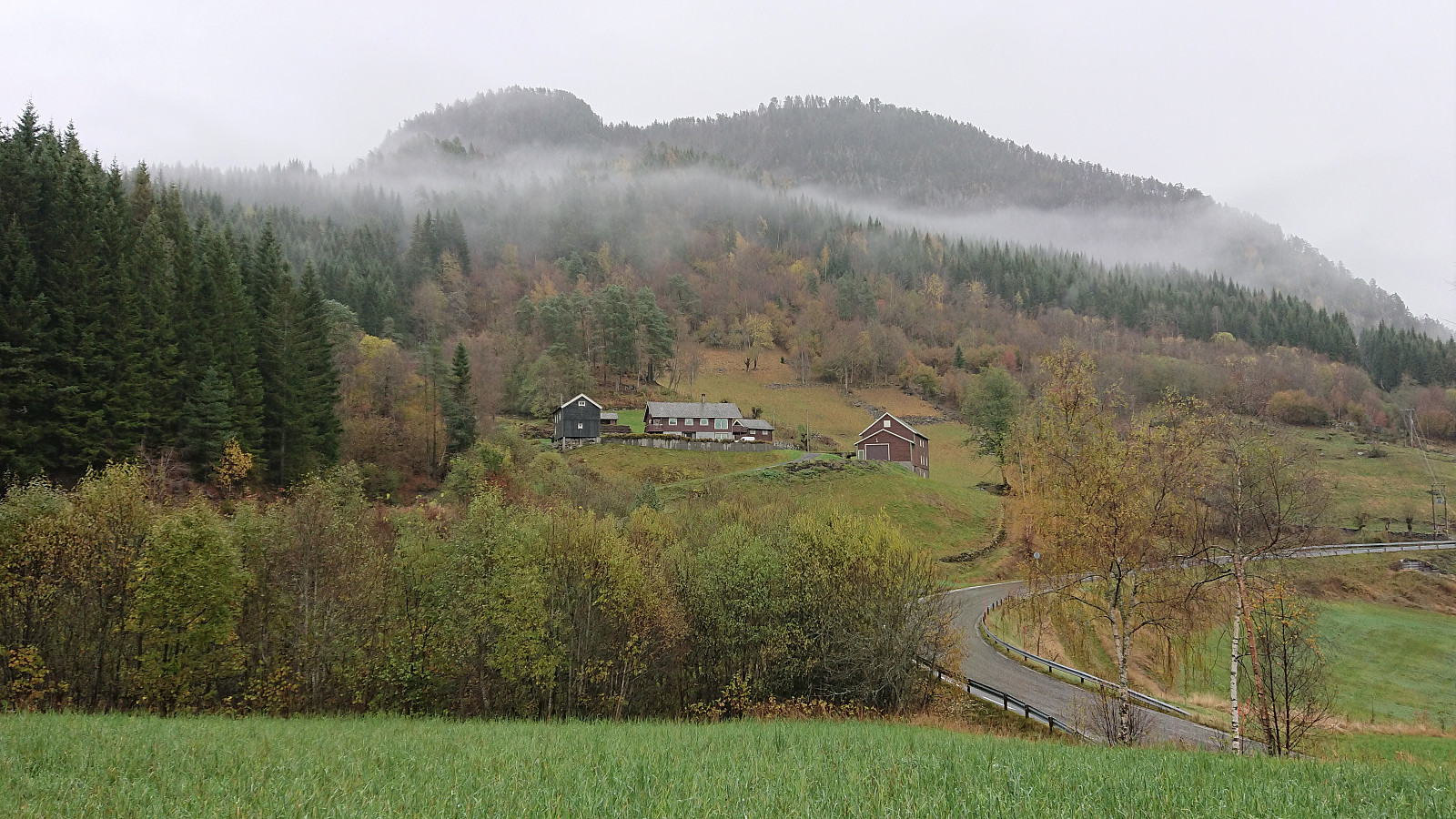
After a two-day meeting at Voss ended after lunch, I managed to convince my colleague HHauser (Helwig Hauser) to go hiking even though the weather forecast looked less than promising. Prepared to get pretty wet and not expecting much in terms of views along the way, we settled on a roundtrip including both Klyvsnolten and Lauvhovden.
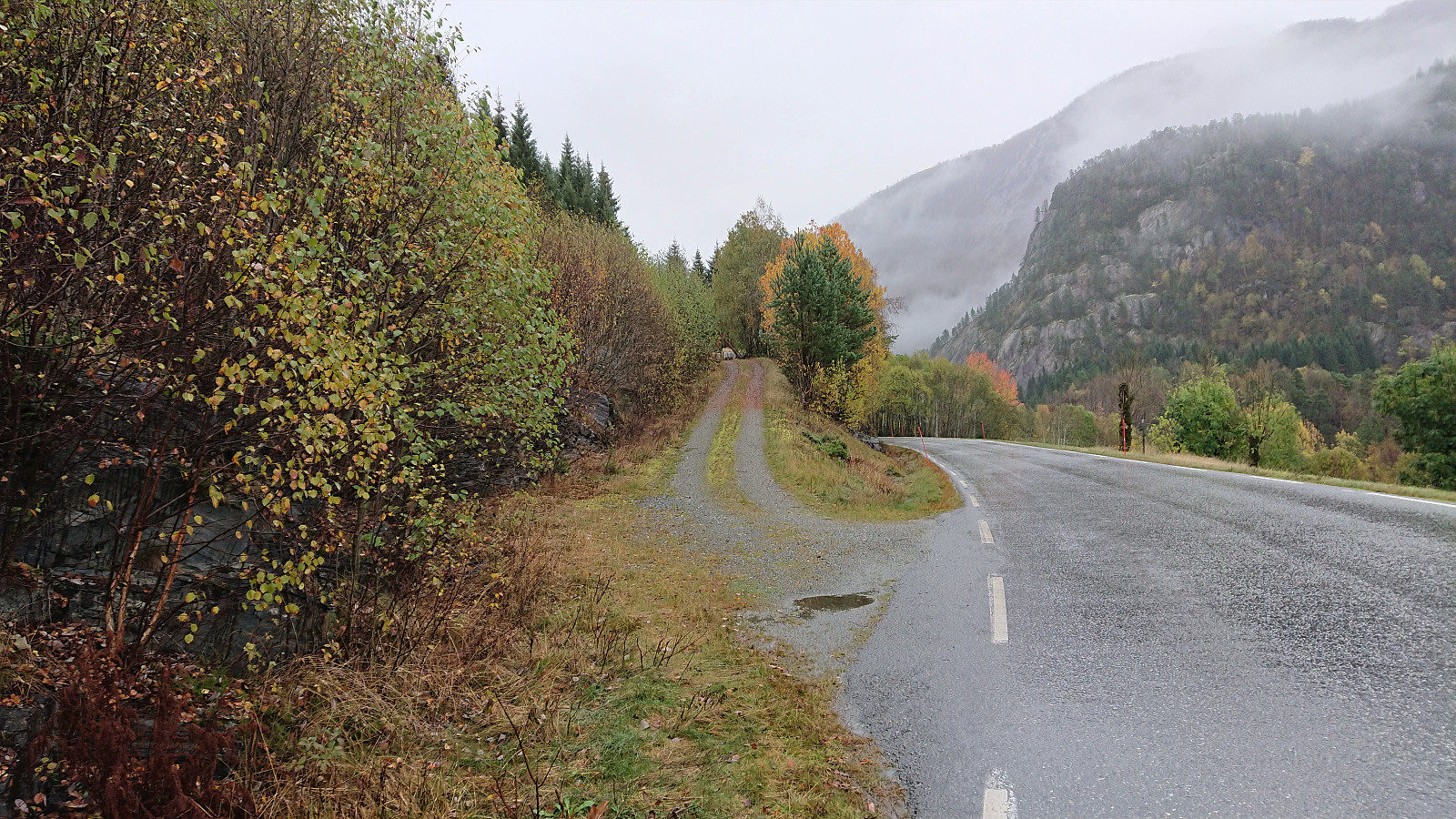
We parked besides the gravel road up to Øvre Klyve, returned to the main road and followed it east for 400 meters before heading up a tractor road that Helwig had found when studying the map back at the hotel. The plan was to follow this tractor road until it ended and from there reach a trail stub indicated on the map south of Klyvesnolten.
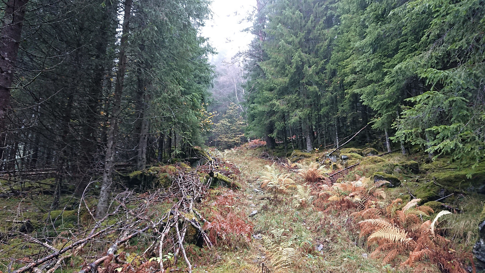
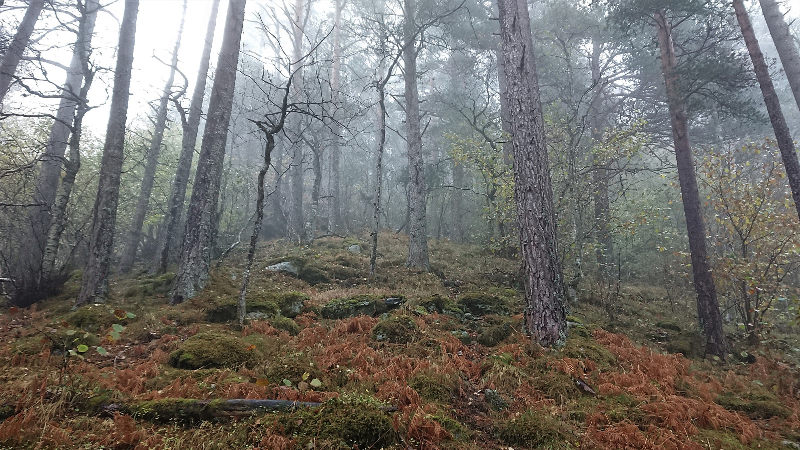
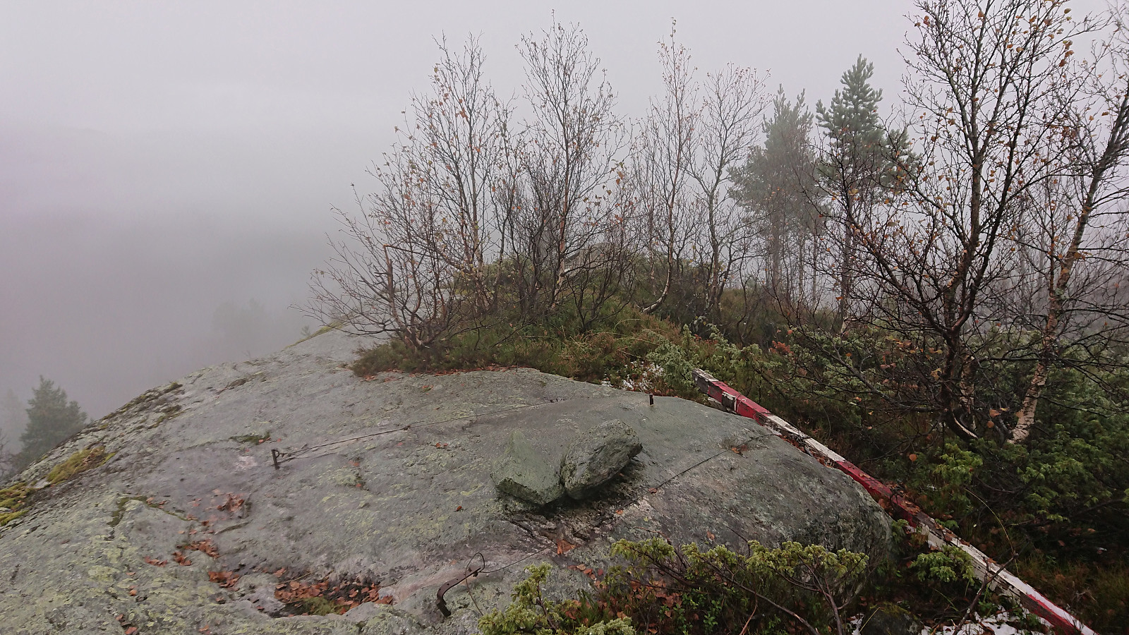
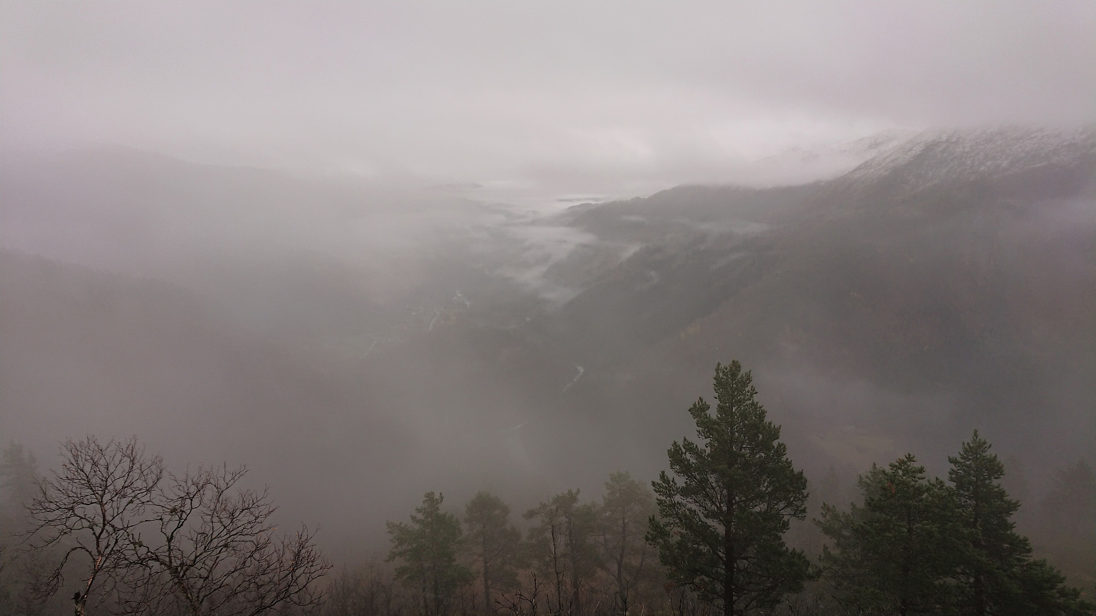
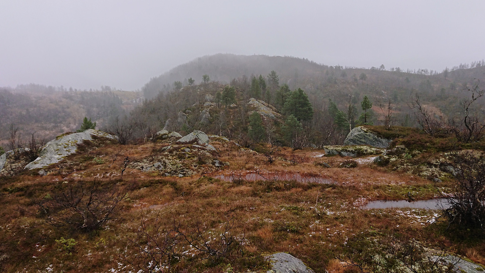
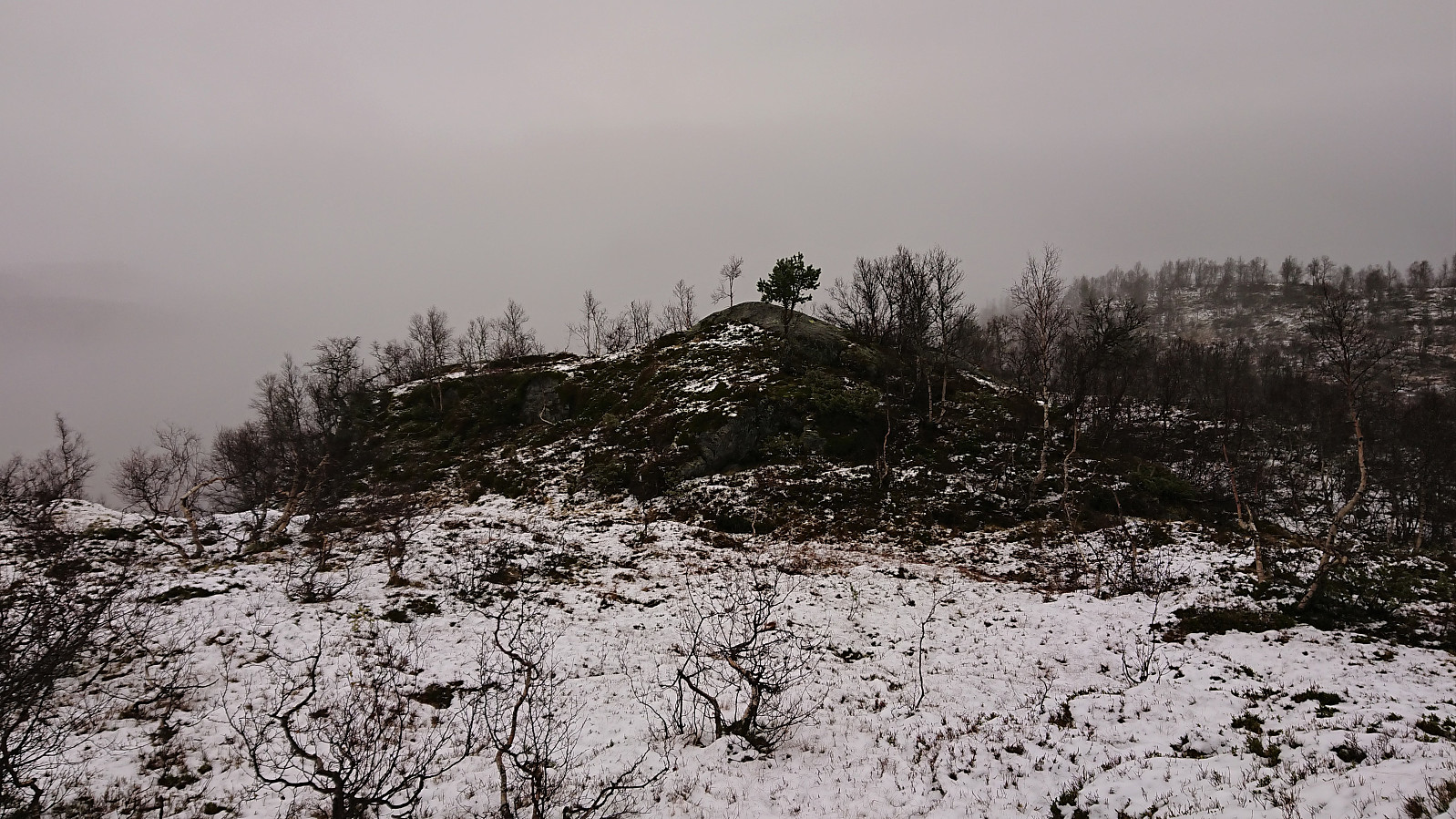
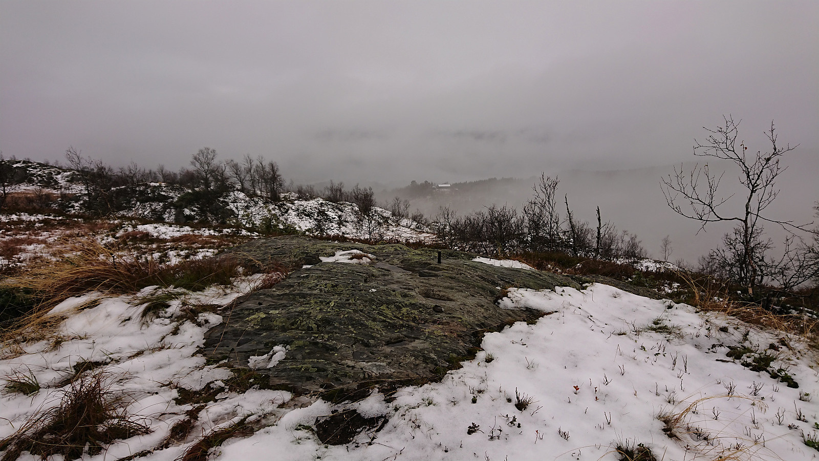
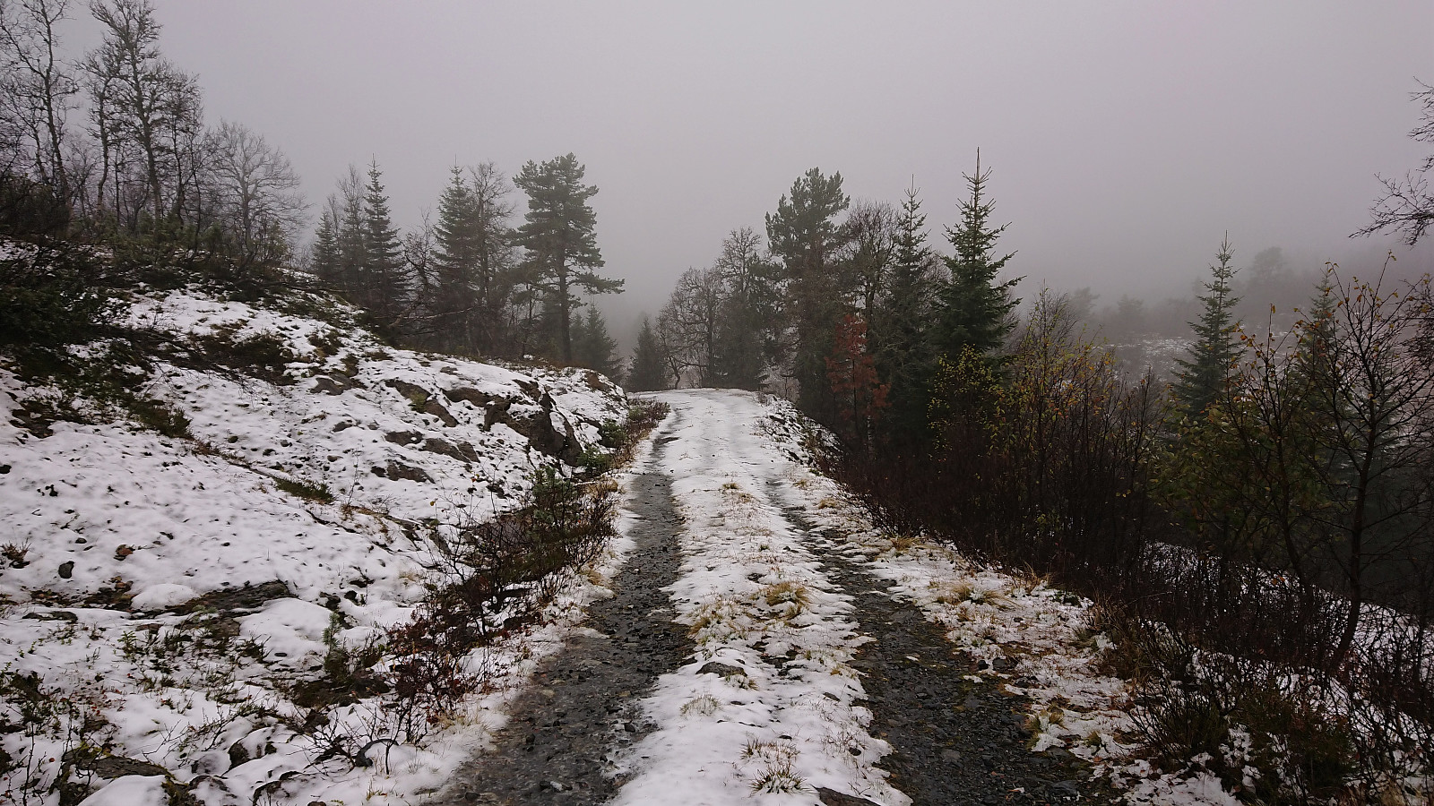
The tractor road, which seemingly had not been used in a long time, actually continued further than what is indicated on the map, and when it came to an end there was a steep but clear trail/animal track that we could follow. We however did not see much of the trail stub we were aiming for, but soon arrived at the gorge called Skori, which we then proceeded to follow without any real difficulties until it levelled off south of Klyvesnolten. From there it was straightforward to reach the summit which had a fallen down trig marker and very nice views. Well, at least on days with better weather conditions and less fog.
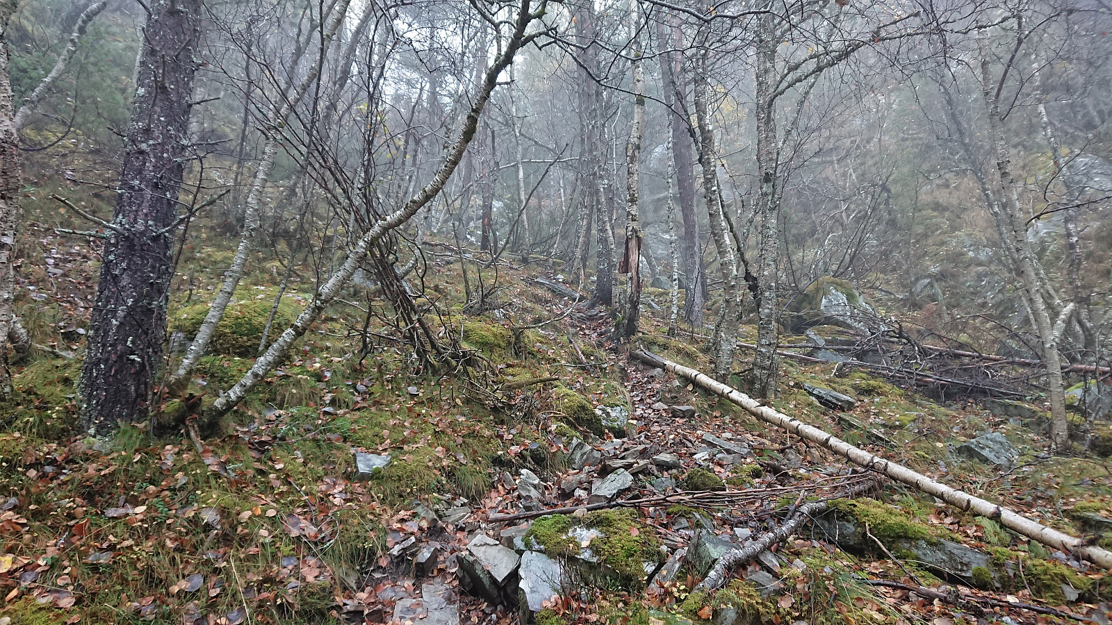
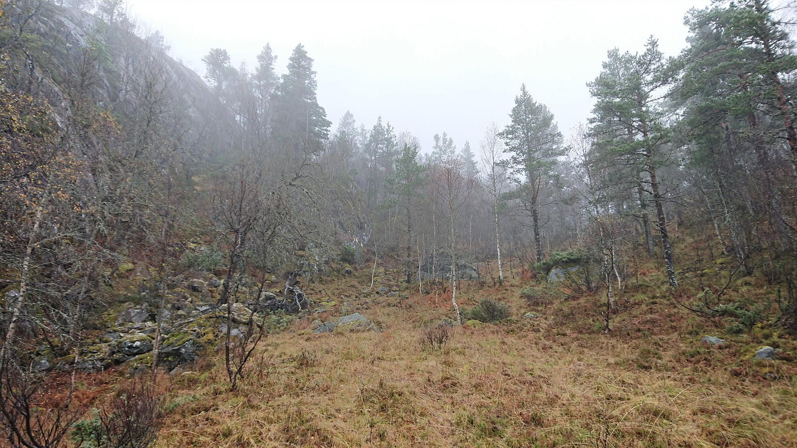
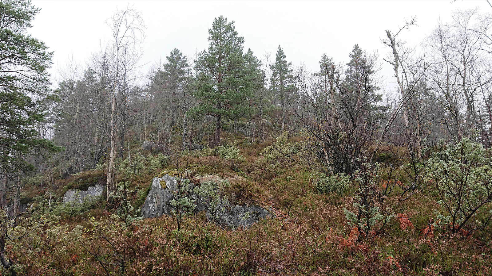
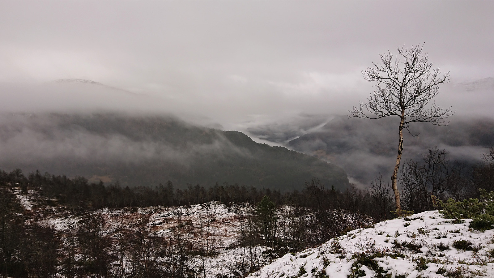
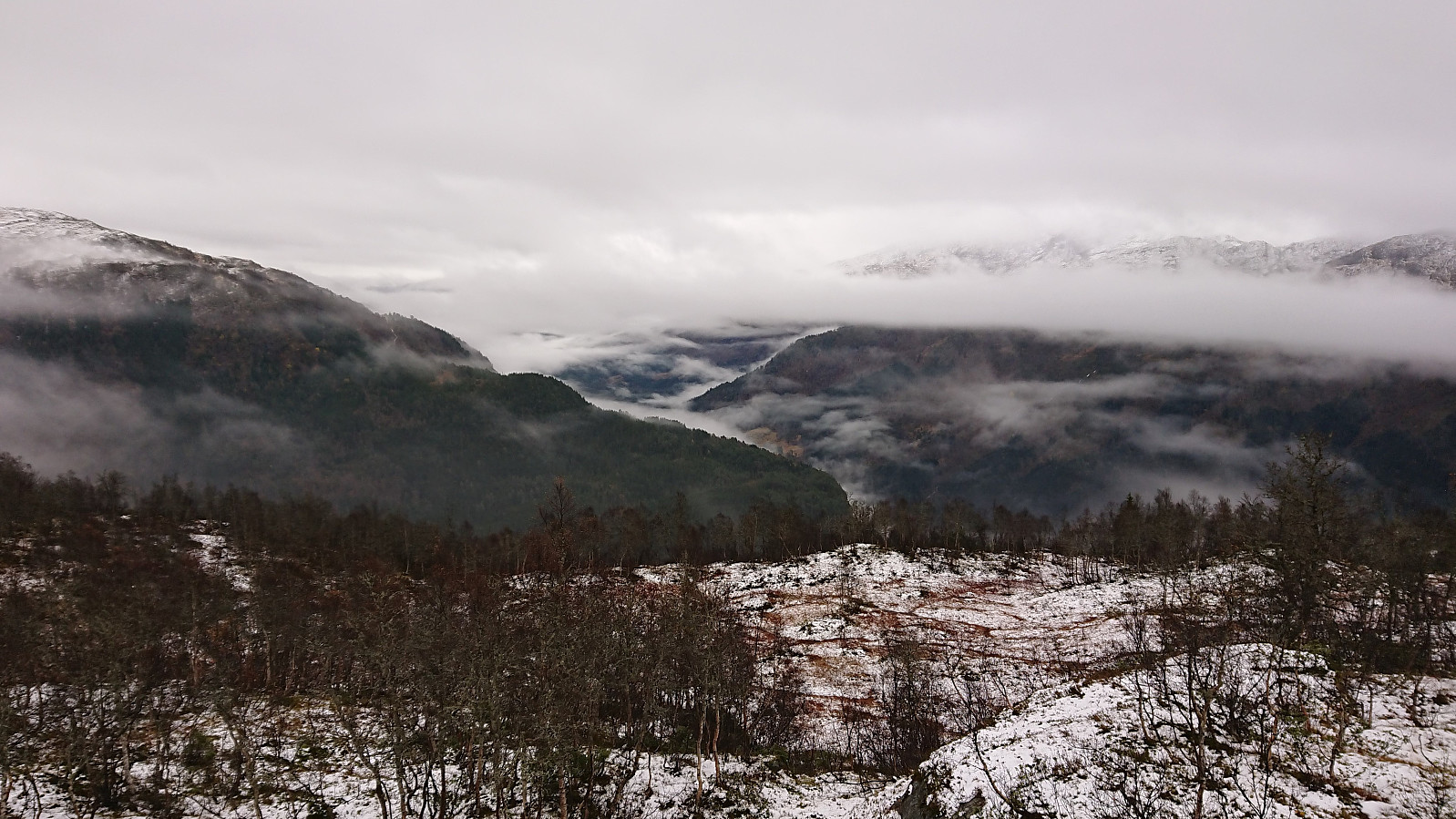
From Klyvesnolten, we followed the trail north/northeast to Skaret. Here the trail turned west, while we continued off-trail in the direction of Lauvhovden, partially following a deer track. The terrain was overall open and easy to traverse and we soon arrived at the summit of Lauvhovden without any issues. Great views here as well, but again limited by the fog.
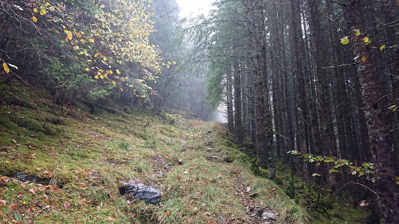
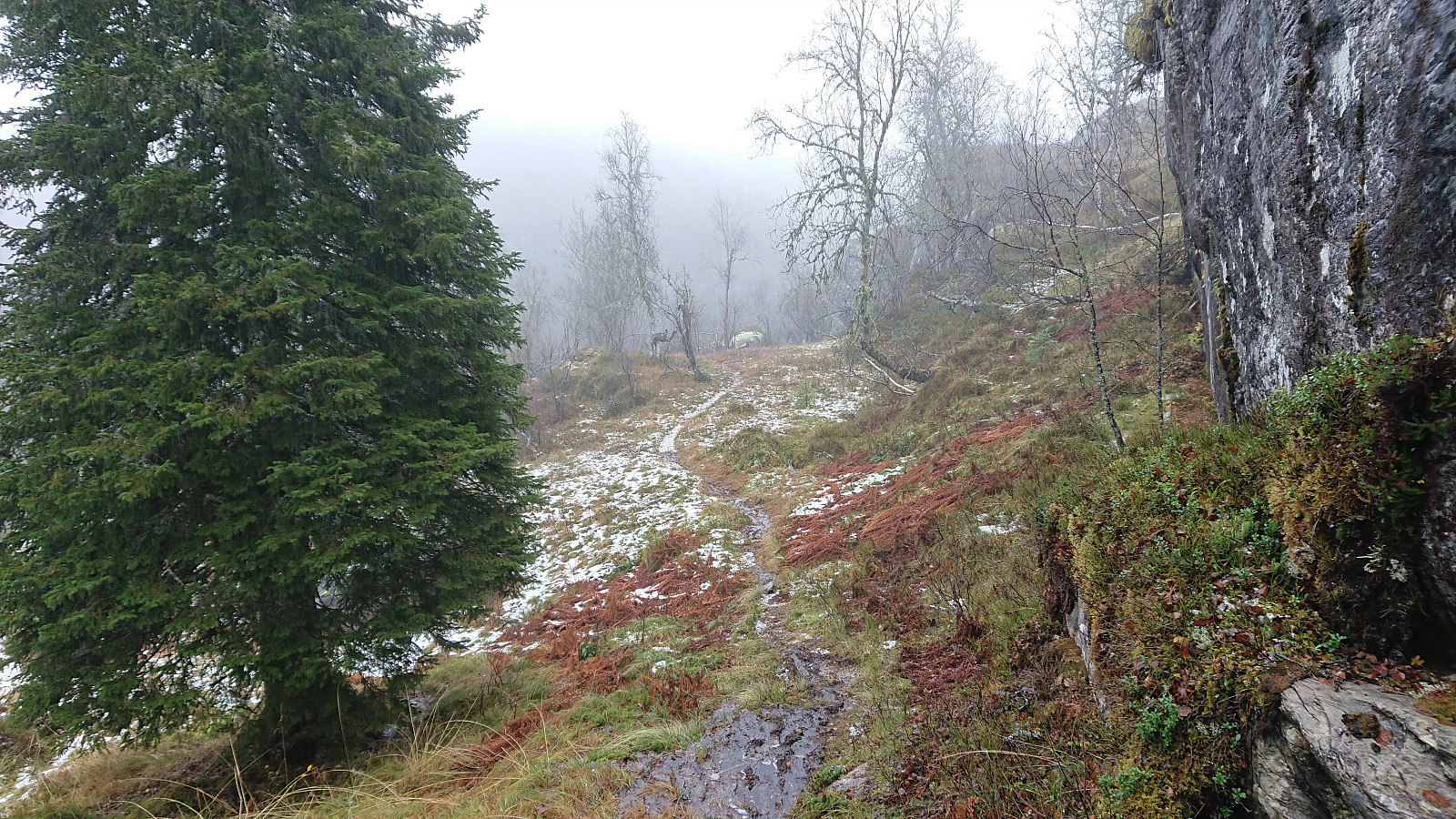
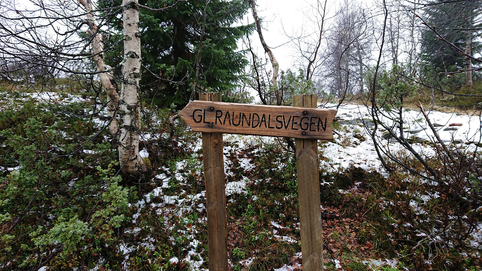
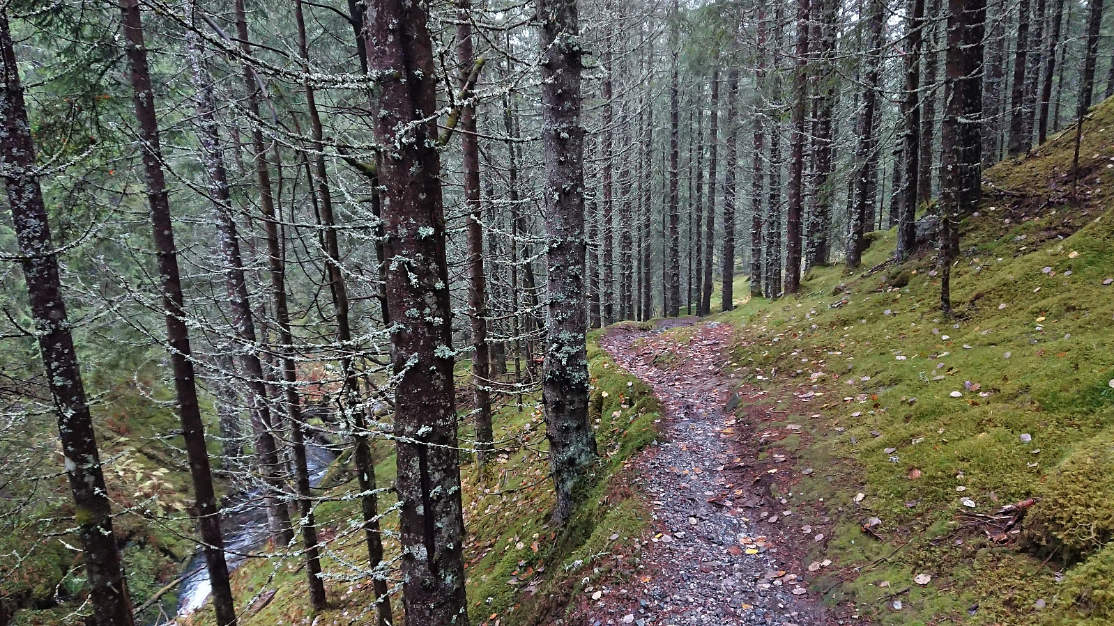
After a quick visit to the small hill to the north, we attempted to follow the trail down to Singeset, made slightly more difficult by it being hidden underneath a thin layer of snow. But as soon as we passed the small lake south of the summit (which we perhaps should have rounded on the south side instead?) the trail was much easier to see and we soon arrived at Singeset. Here we shortly followed the road until switching to the old Raundalsvegen, i.e. the trail that was there before the new road was built. The start of this trail was indicated by a sign and the trail was overall much nicer than expected. Especially the later sections when the trail followed the river was very nice.
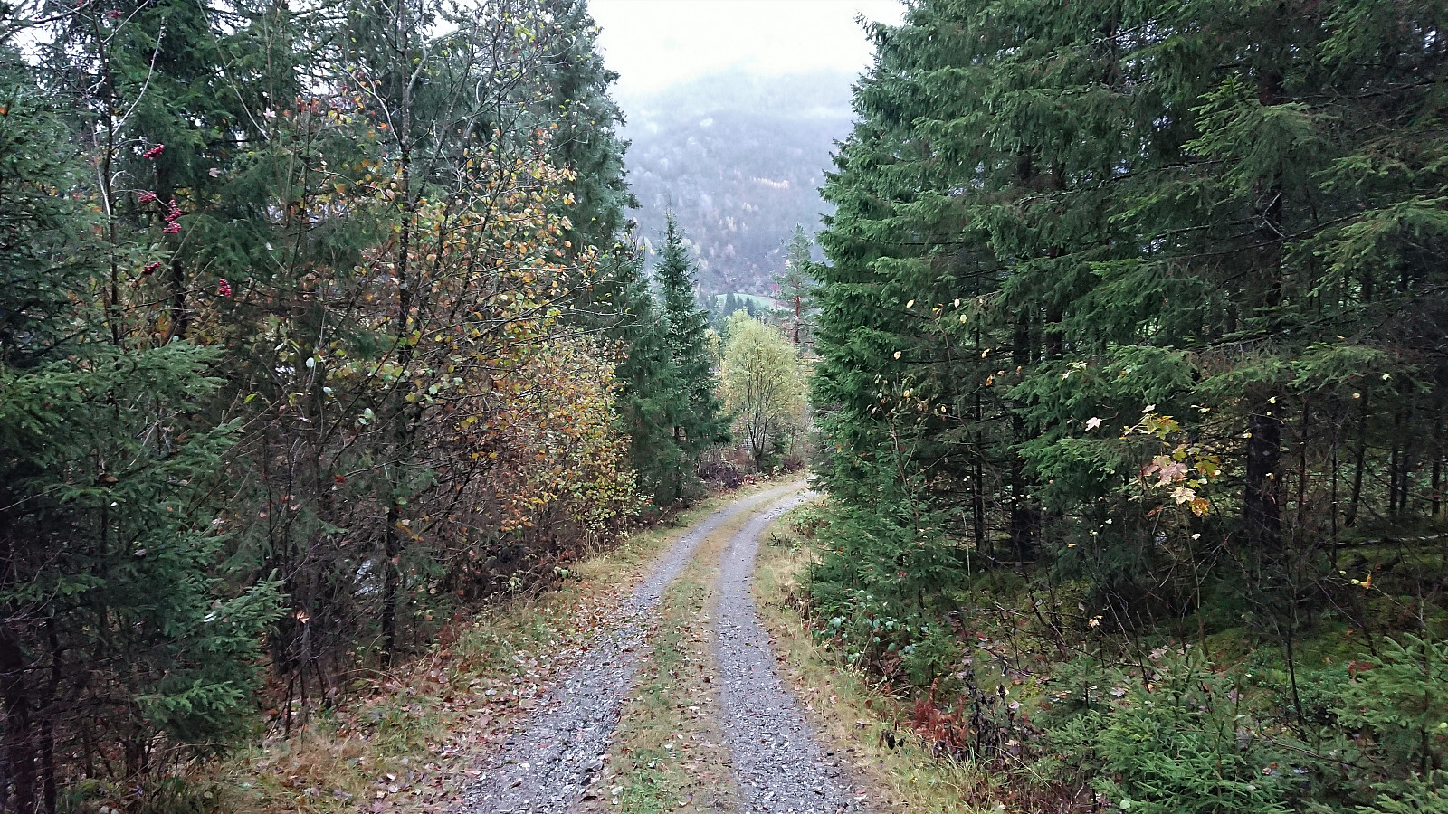
Upon reaching the cabin Svartaberget we crossed the river in an attempt to get to a trail that should take us to the tractor road south of Øvrestølen. This trail did not really exist though, and we ended fighting our way through dense vegetation in order to reach the tractor road taking us back to the car. Hence it is very much recommended to simply stay on the trail when it passes by Svartaberget, as this trail later connects the tractor road down from Øvrestølen anyway, and the distances are pretty identical as well.
Overall, this was a much nicer hike than expected, with the only exception being the short bush war towards the end that can easily be avoided by not taking our "shortcut". The weather also turned out significantly better than the forecast had indicated. All in all, resulting in a very enjoyable hike. Takk for turen, Helwig!
| Starttidspunkt | 19.10.2021 13:49 (UTC+01:00 ST) |
| Sluttidspunkt | 19.10.2021 16:51 (UTC+01:00 ST) |
| Totaltid | 3t 02min |
| Bevegelsestid | 2t 52min |
| Pausetid | 0t 10min |
| Snittfart totalt | 2,7km/t |
| Snittfart bevegelsestid | 2,8km/t |
| Distanse | 8,2km |
| Høydemeter | 686m |

Kommentarer
Sammentreff!
Skrevet av knutsverre 20.10.2021 17:10Artig! Vi var i samme område på søndag med en litt annen adkomst og vinkling på turen, og i bedre vær! De to første bildene dine av traktorvegen ved Nedre Kløve viser starten på varianten av den gamle ferselsveien som gikk opp Raundalskleiva (Styggeklyve) i Rastalii, senere omtalt som Sverrestien! Mye spennende å finne i Rastalii!
Re: Sammentreff!
Skrevet av hbar 20.10.2021 17:34Aha! Det var jo synd (men ikke overraskende gitt værmeldingene) at dere ikke tok turen to dager senere. Hadde jo vært artig om vi hadde møttes på toppen! :)
Jeg var ikke klar over at det var sti opp via Smørsteinen! Skulle nok ha lest rapporten din i mer detalj før vår tur, men tenkte ikke på det i og med at dere snudde ved Smørsteinen. Men vår rute var uansett også helt ok. Selv om man vel neppe kan påstå at det var sti hele veien.
Også meget interessant å se hvor bra utsikt det egentlig er fra toppen av Klyvsnolten! Vi fikk jo dessverre bare et lite inntrykk av dette grunnet all tåken.