More small hills south of Småvatnet (10.10.2021)

| Startsted | Hilleren (26moh) |
|---|---|
| Sluttsted | Haakonsvern (30moh) |
| Turtype | Fottur |
| Turlengde | 2t 07min |
| Distanse | 8,7km |
| Høydemeter | 342m |
| GPS |
|
| Bestigninger | Hilrafjellet (89moh) | 10.10.2021 |
|---|---|---|
| Litle Kongshaugen (76moh) | 10.10.2021 | |
| Medhaugen (78moh) | 10.10.2021 | |
| Storhaugen i Alvøen (75moh) | 10.10.2021 | |
| Vest for Vassenden (58moh) | 10.10.2021 | |
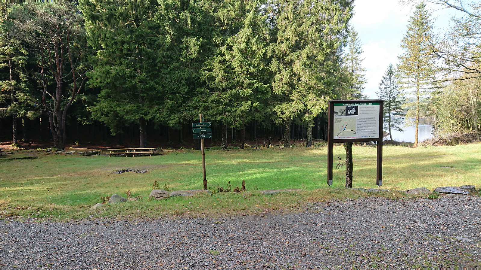
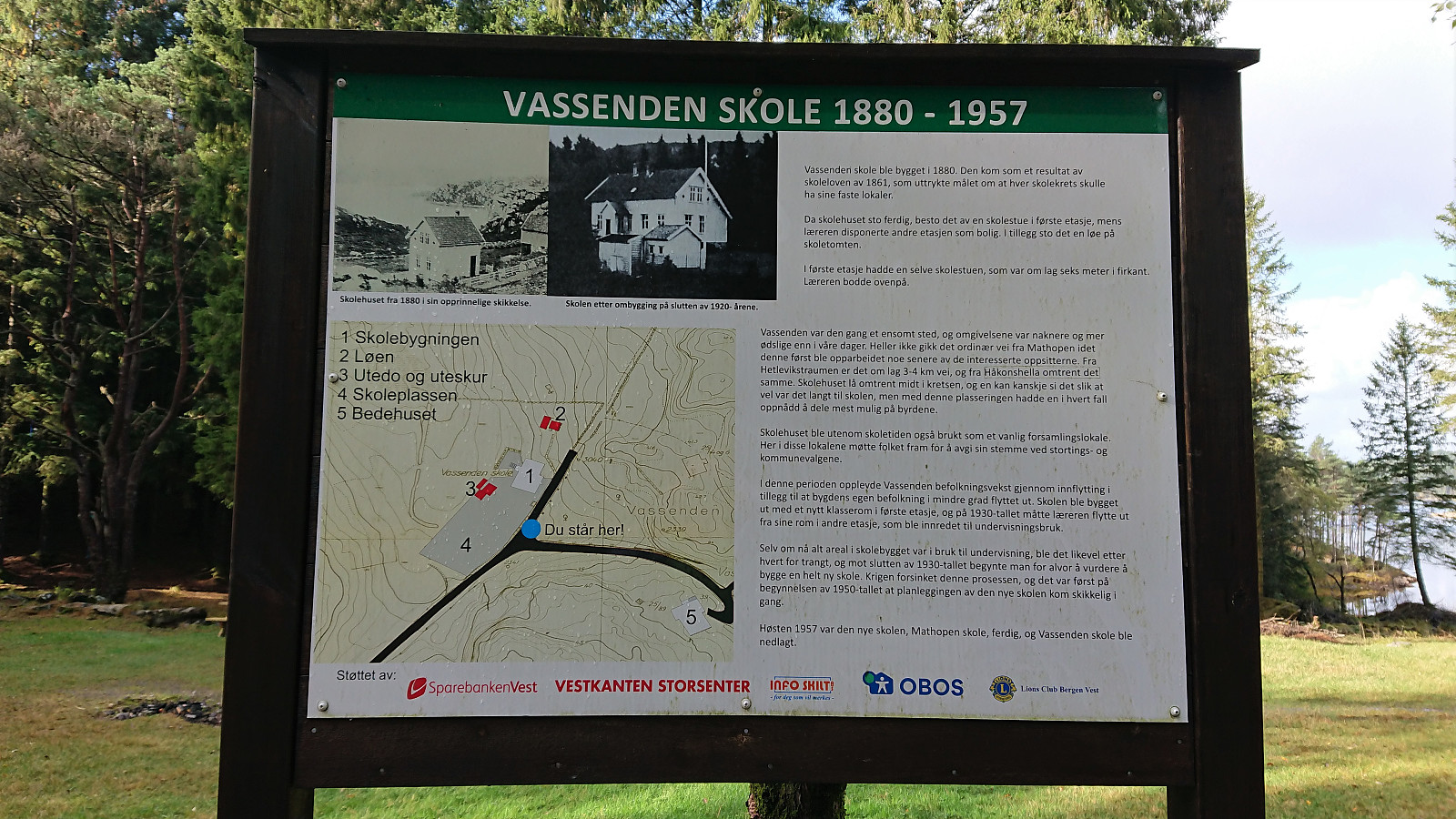
| Andre besøkte PBE'er | Vassenden skole (tuft) (29moh) | 10.10.2021 |
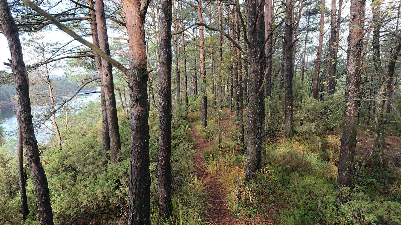
More small hills south of Småvatnet
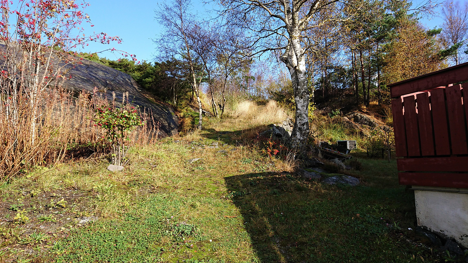
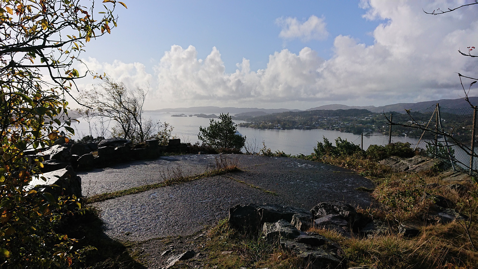
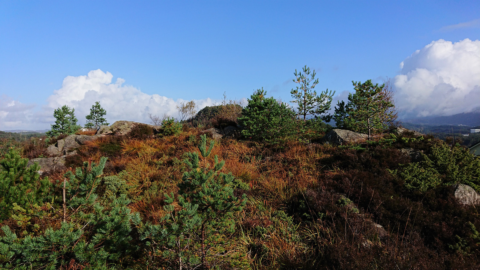
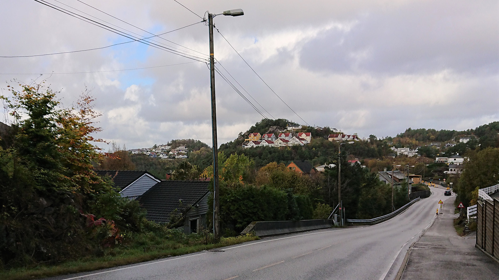
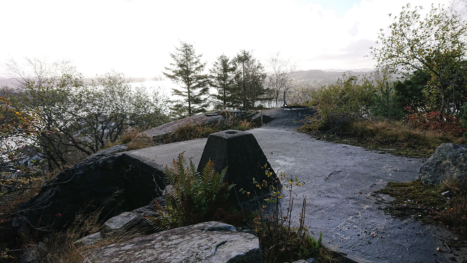
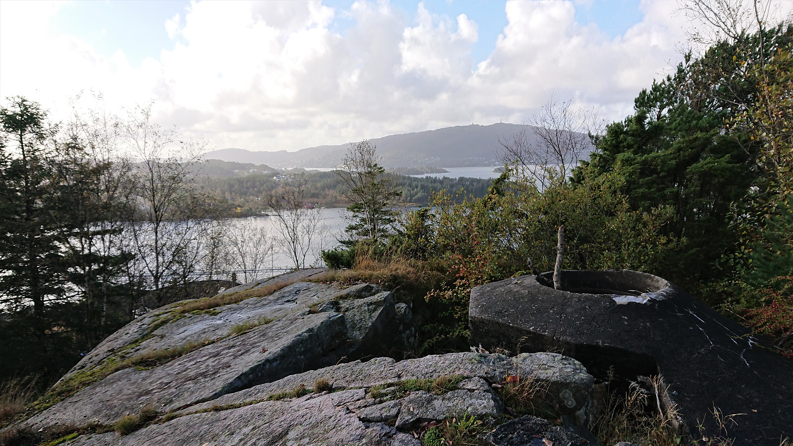
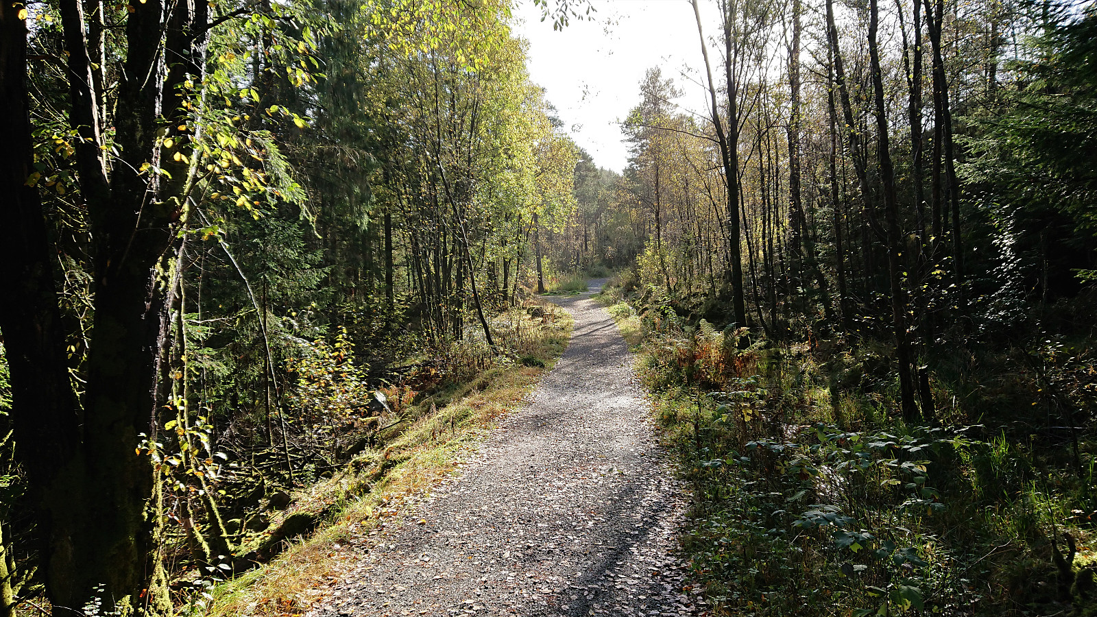
Yet another hike to visit small hills recently added to the ever-growing Alle topper i Bergen list. First up was Hilrafjellet. It has a bus stop right next to it, but I managed to take the bus one stop too far and had to start the hike by walking back up to the hill. But before doing so, I waited for maybe 10 minutes in the bus shelter for the rain to stop. When it finally did, I quickly returned to the planned bus stop and followed the roads up to the final house south of Hilrafjellet. Here there was a small road up to the remains of several military installations with excellent views in all directions. The summit itself was reached via a short but wet detour.
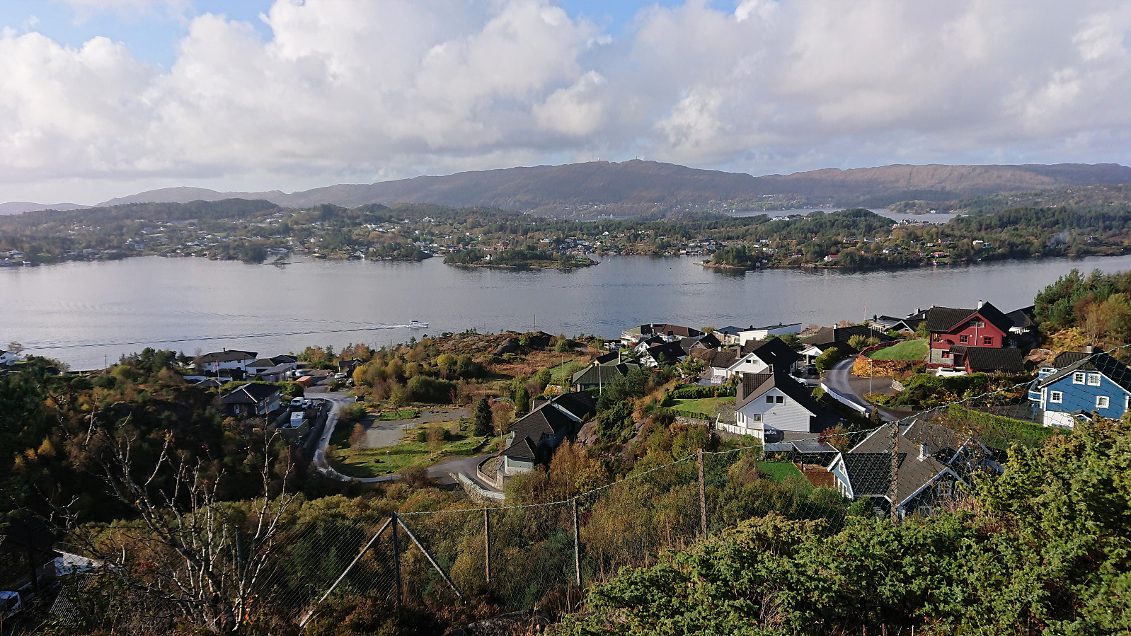
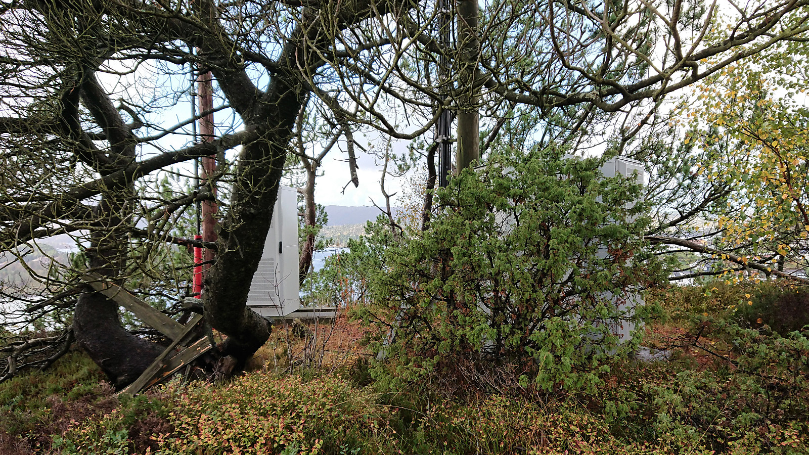
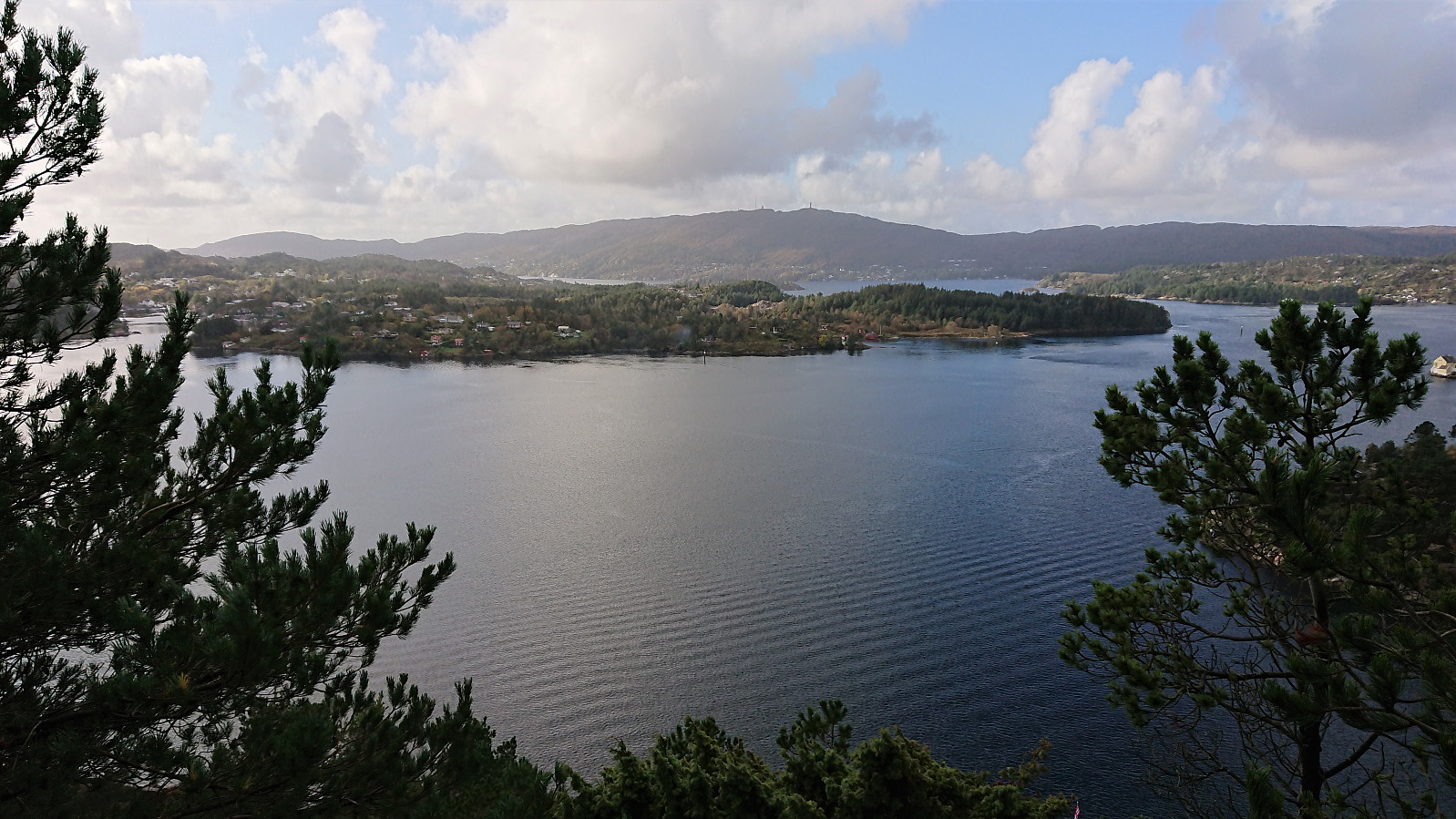
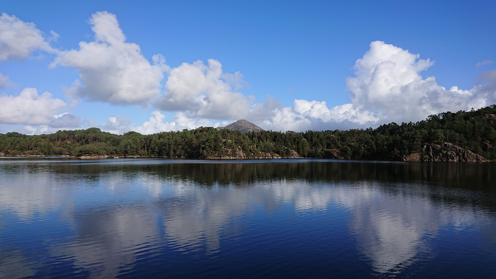
Next, I returned to the main road and followed it to Medhaugen. While I had been pretty sure that I could easily get to the summit of Hilrafjellet, I was less sure about Medhaugen. Howevever, it would turn out that I had nothing to worry about, as when I arrived at the last house east of the summit there was a clear trail taking me the final meters to an antenna at the highest point. There were even some pretty good views in the direction of Pyttane and Liatårnet from just south of the summit.
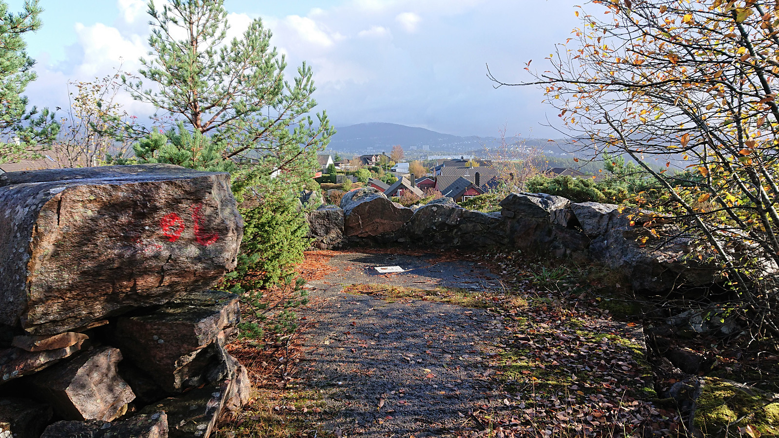
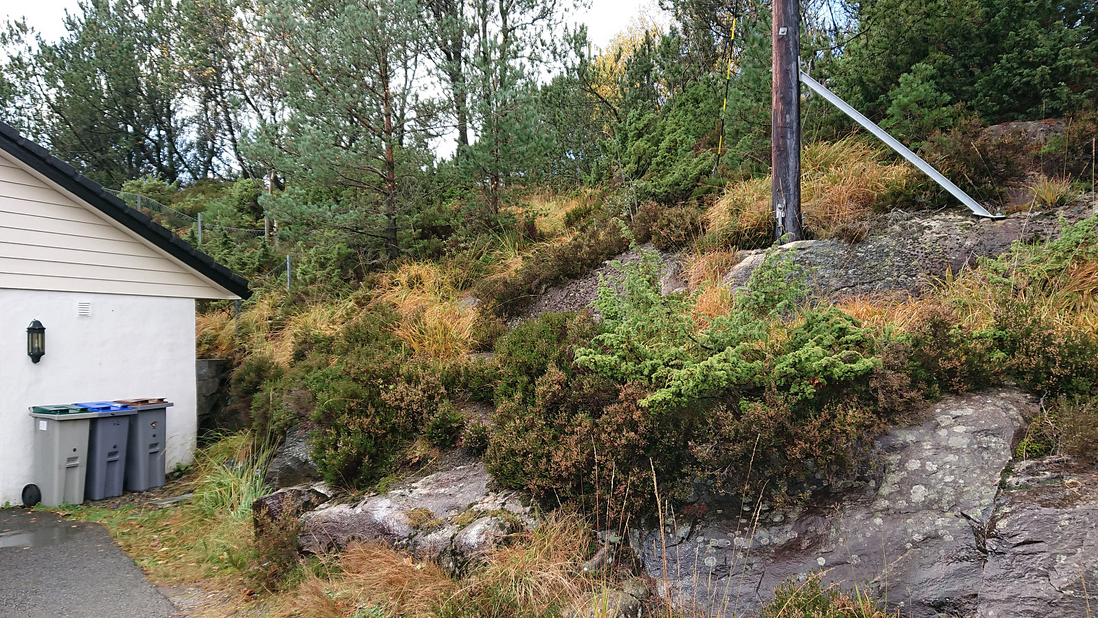
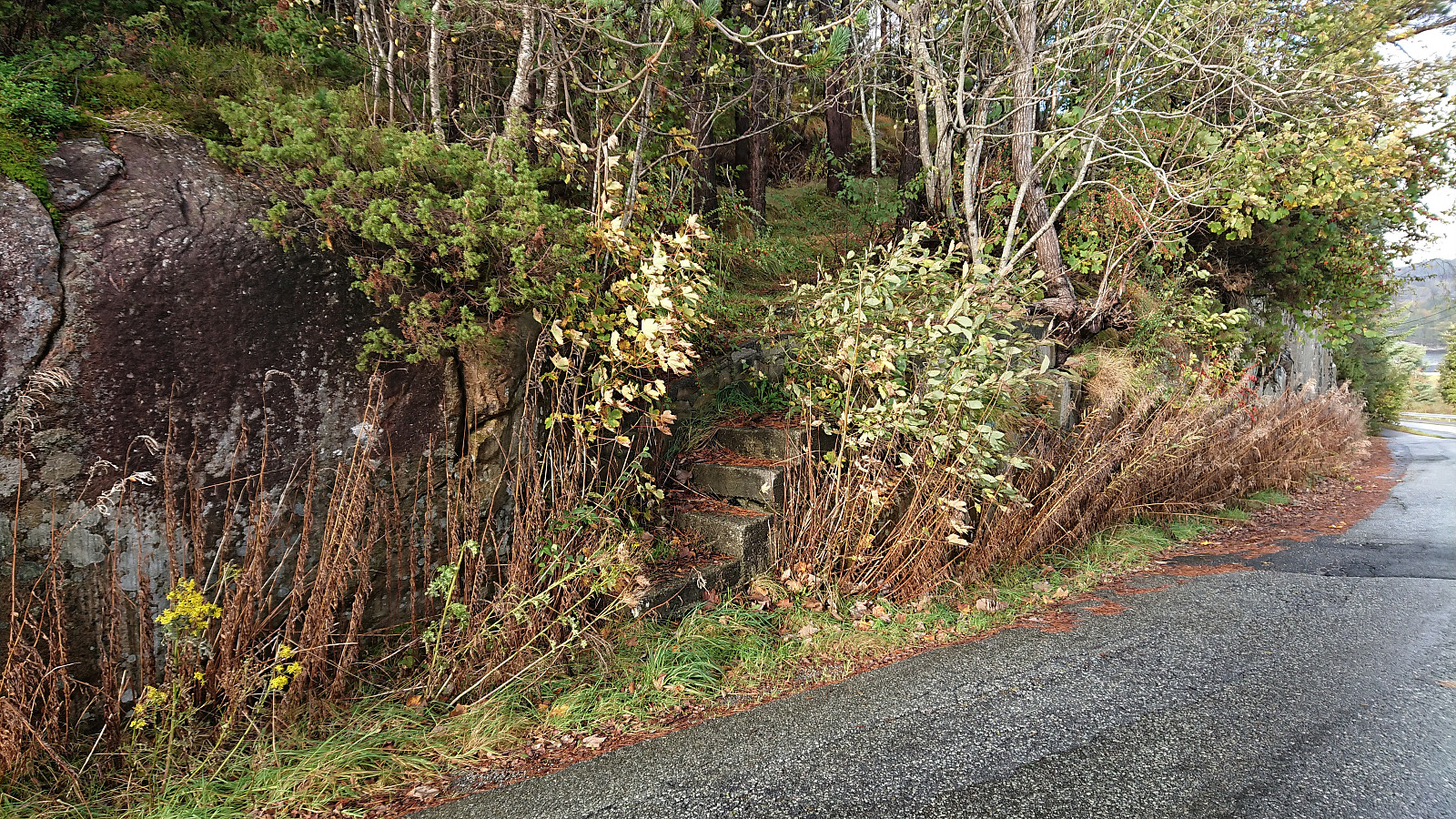
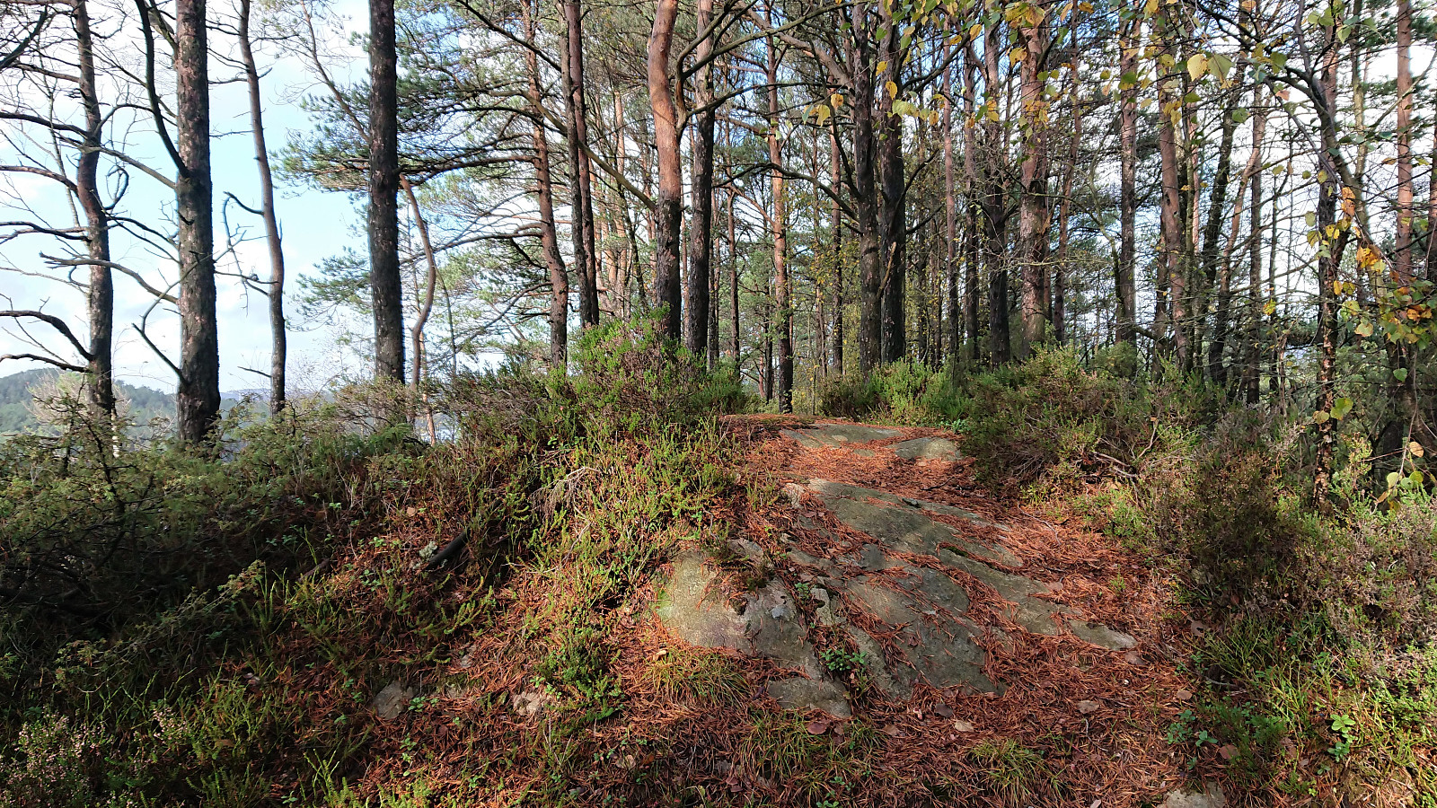
I returned to the main road and after a short walk arrived at the trailhead for Litle Kongshaugen. It consists of a couple of old concrete steps east of the summit that I had previously located on Google Steet View. I had assumed that the concrete steps would be followed by an old trail to the remains of a bunker at the summit, but this was not the case. I therefore instead made may own way to the highest point without any real issues. The summit again provided pretty good views towards Pyttane and Liatårnet. For the descent I tried to follow a weak trail, but it pretty much disappeared before reaching the concrete steps.
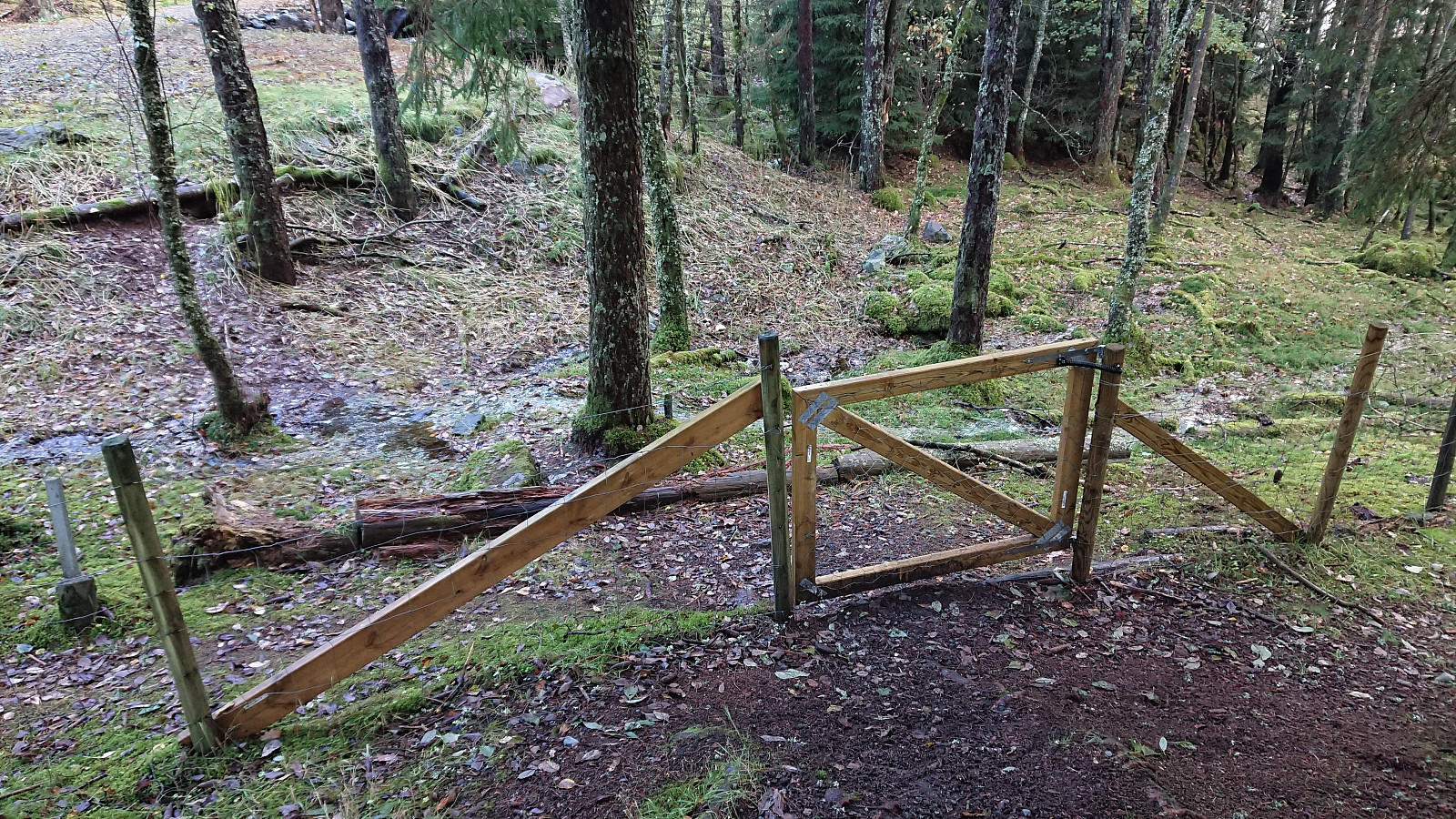
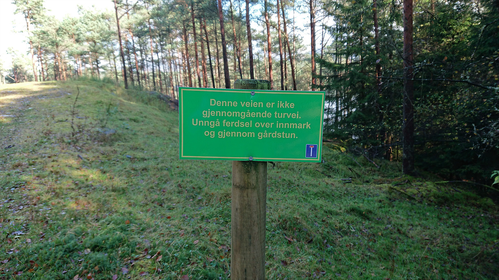
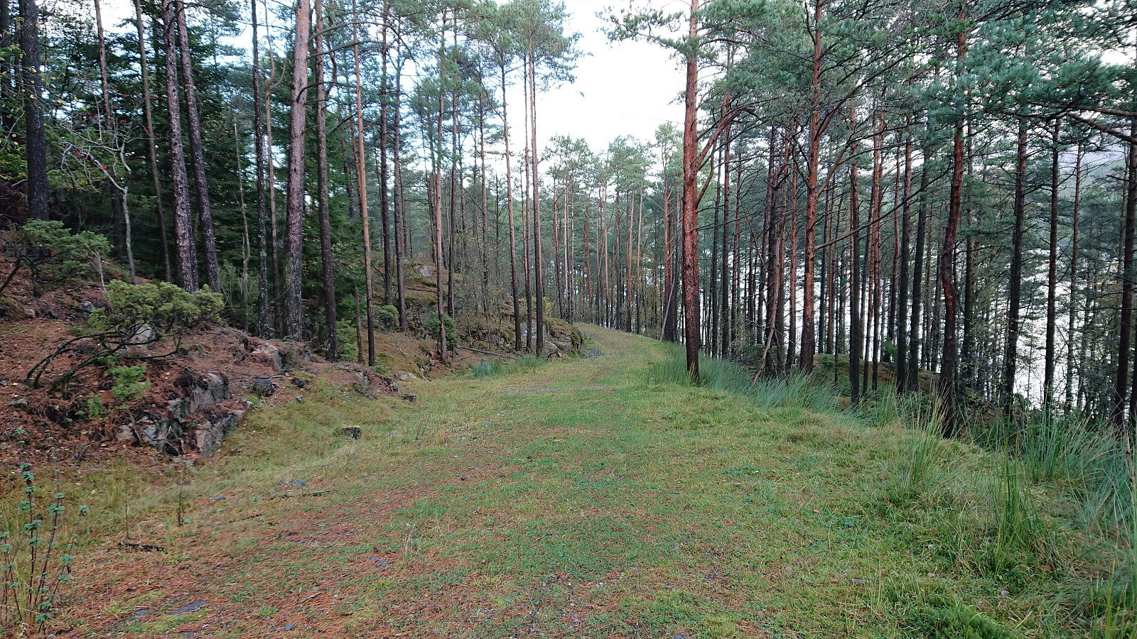
Given the success so far, I decided to also have a go at Storhaugen east of Småvatnet. After a short walk along the main road, I followed a smaller gravel road taking me south of Storhaugen before passing through a gate to reach a private road heading north. From this grass-covered road it was straightforward to ascend to the highest point, which sadly provided next to no views given all of the trees. Note that Storhaugen is surrounded by fences topped with barbed wire, hence if going there at other times of the year you may not be alone at the summit. The signs did not indicate anything about what types of animals to expect though.
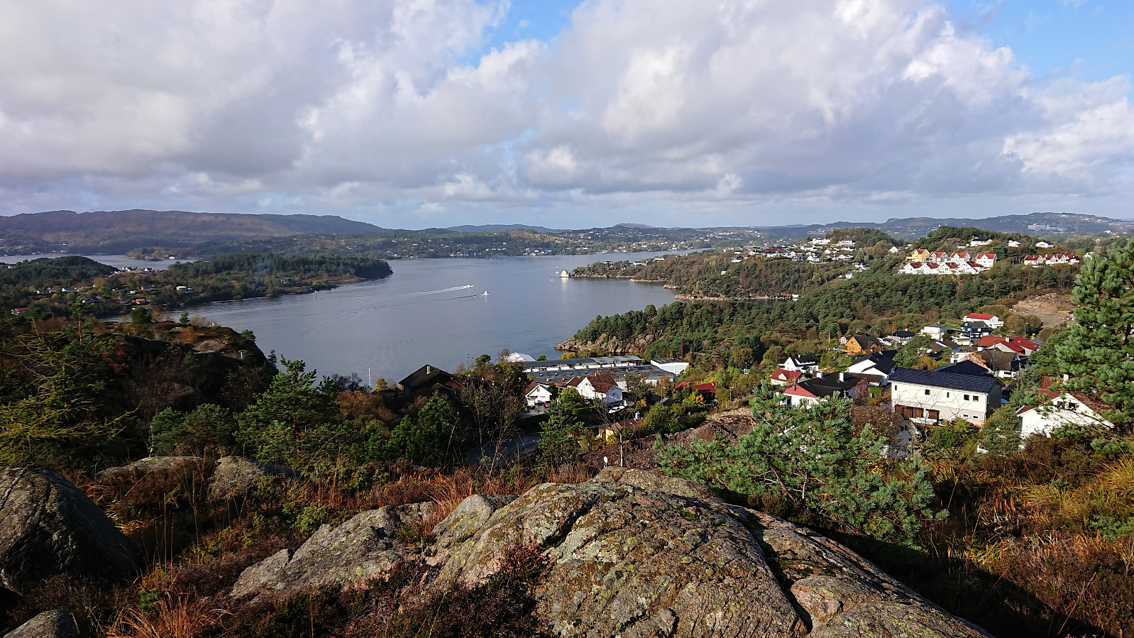
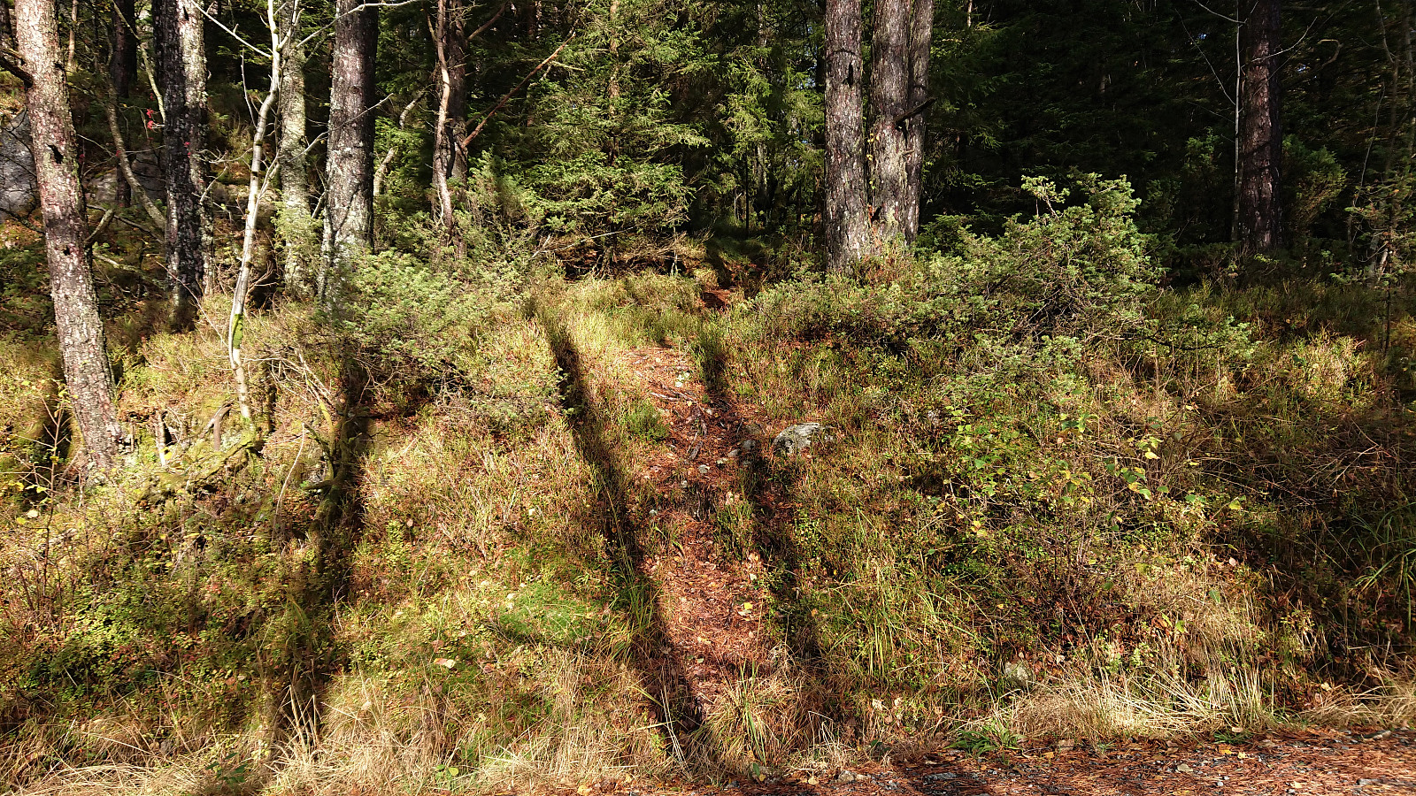
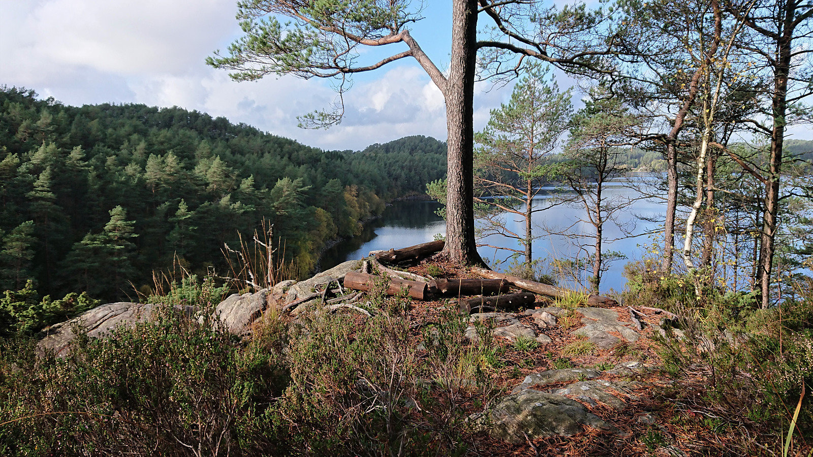
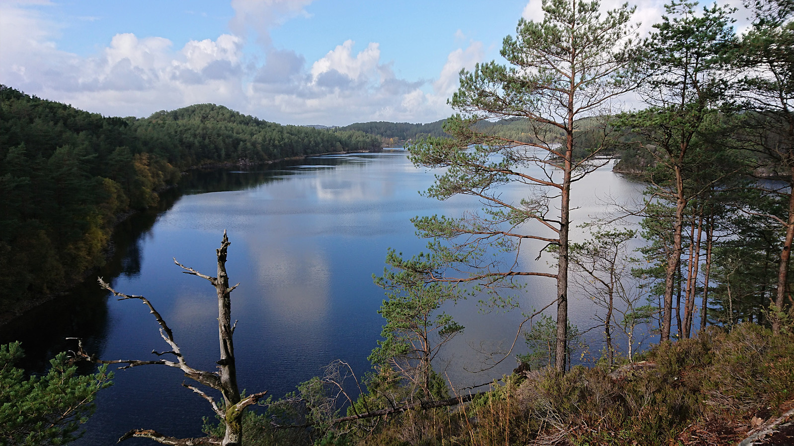
On my return to the main road at Haakonsvern I also made a quick visit of V for Vassenden via a trail from south of the summit that I had noticed on my previous hike in the area. The summit was therefore easily reached. Limited views from the summit itself, but much better views could be obtained from just north of the summit, just continue along the trail.
In summary, a nice short hike in a new area and with some excellent views along the way. I was glad to learn that all five summits could be reached without any real issues and, equally important, without any trespassing at all.
| Starttidspunkt | 10.10.2021 12:07 (UTC+01:00 ST) |
| Sluttidspunkt | 10.10.2021 14:14 (UTC+01:00 ST) |
| Totaltid | 2t 07min |
| Bevegelsestid | 2t 04min |
| Pausetid | 0t 3min |
| Snittfart totalt | 4,1km/t |
| Snittfart bevegelsestid | 4,2km/t |
| Distanse | 8,7km |
| Høydemeter | 341m |

Kommentarer