Vesoldo and Slåttenuten - from Tørvik to Norheimsund (25.09.2021)

| Startsted | Tørvik/Bergsvatnet (28moh) |
|---|---|
| Sluttsted | Norheimsund (3moh) |
| Turtype | Fjelltur |
| Turlengde | 6t 31min |
| Distanse | 22,4km |
| Høydemeter | 1337m |
| GPS |
|
| Bestigninger | Mjølausa (706moh) | 25.09.2021 |
|---|---|---|
| Skutesnos (679moh) | 25.09.2021 | |
| Slåttenuten (737moh) | 25.09.2021 | |
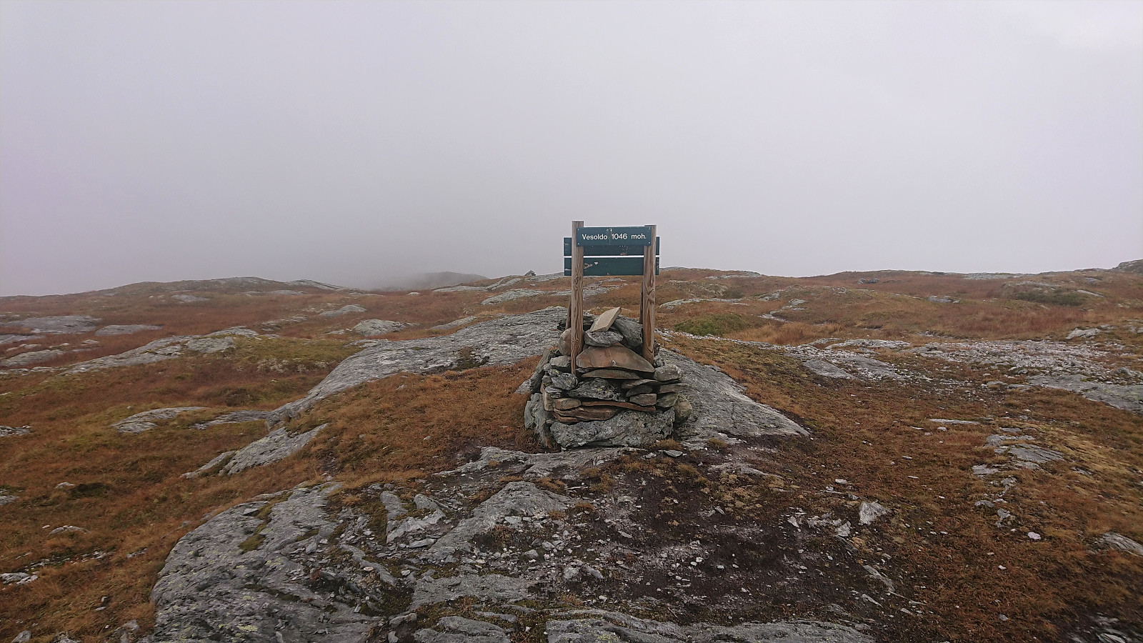
| Vesoldo (1046moh) | 25.09.2021 | |
| Andre besøkte PBE'er | Kvilekroken (600moh) | 25.09.2021 |
| Perslå p-plass (251moh) | 25.09.2021 | |
| Tveiten-Perslå bomveg (160moh) | 25.09.2021 |
Vesoldo and Slåttenuten - from Heradstveit to Norheimsund
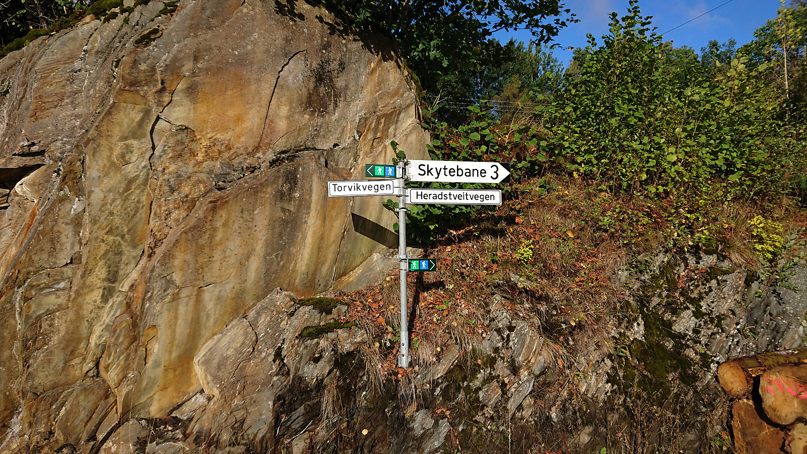
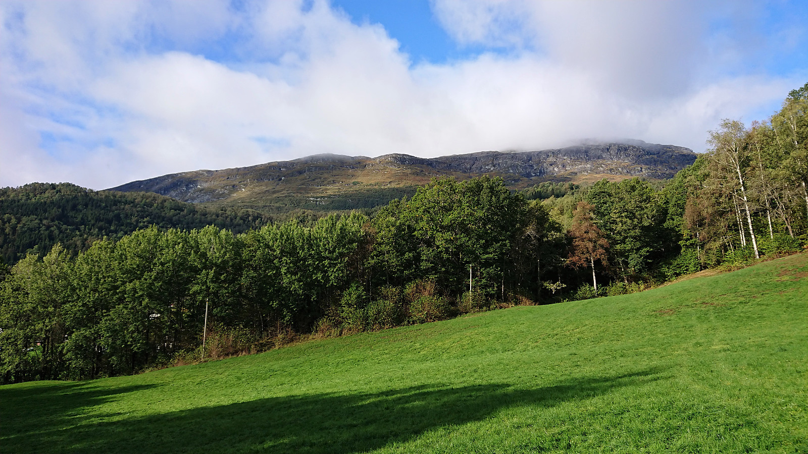
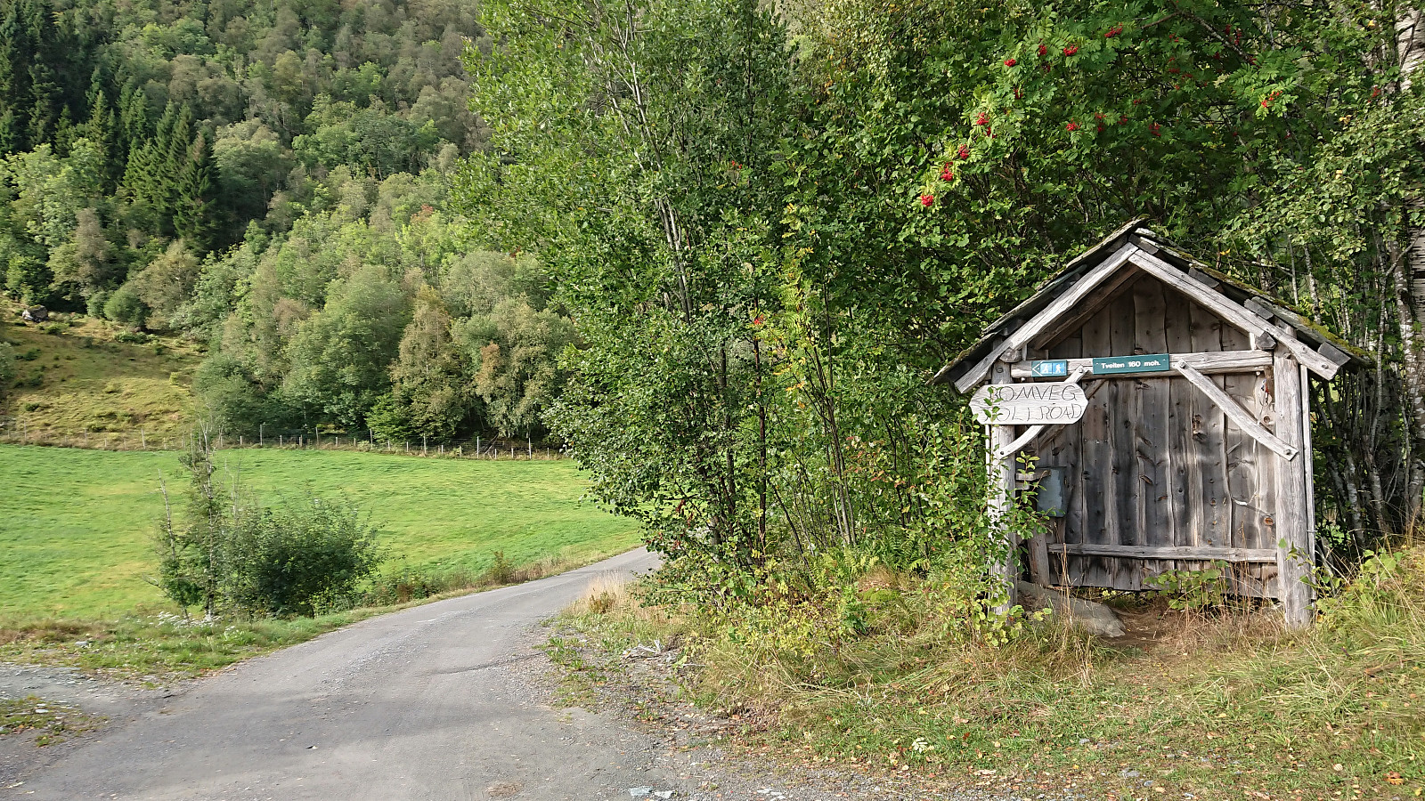
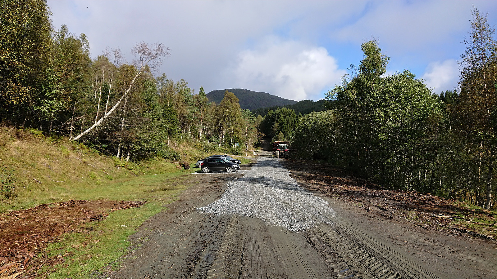
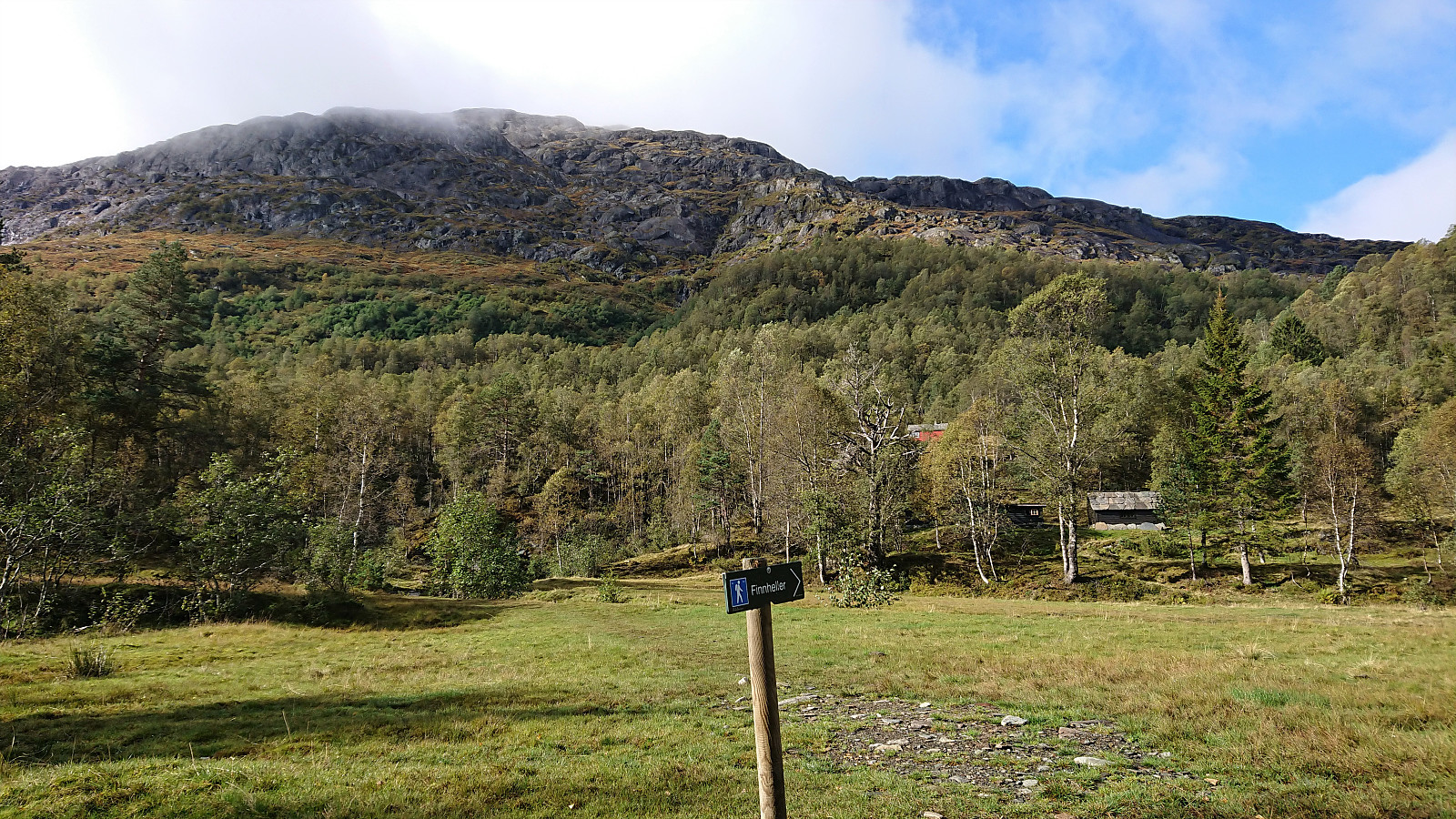
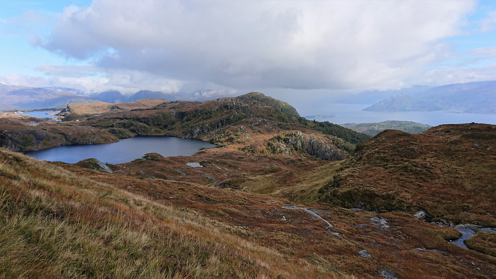
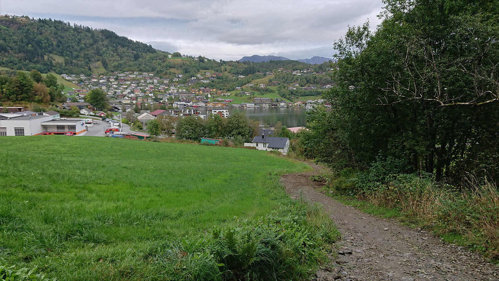
I started by taking the bus to Tørvik and getting off at the bus stop called "Heradstveit kryss". At the initial crossroads there were hiking signs pointing in both directions. I went for the southern option, passing through Tørvik and Tveiten, before following a toll road to the parking lot at Perslå. I briefly considered heading southwest to Tveitestølen to ascend Tørvikenuten from the south. But while there was a trail indicated on the map, the hiking information sign at Perslå did not mention this option at all. Not wanting to risk spending most of the ascent searching for a potentially weak trail, I instead went for the safe option and followed the marked trail via Osadal.
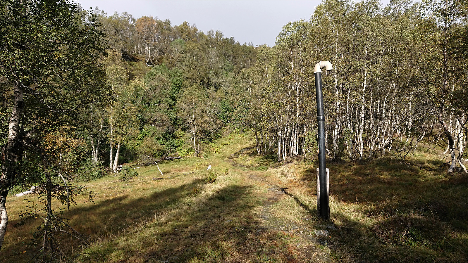
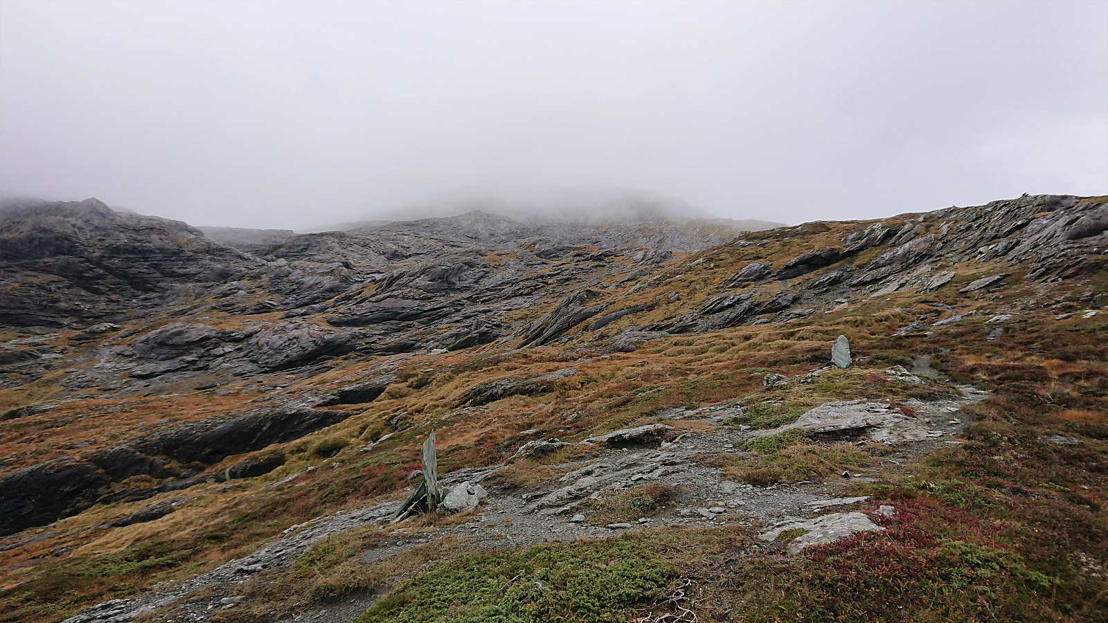
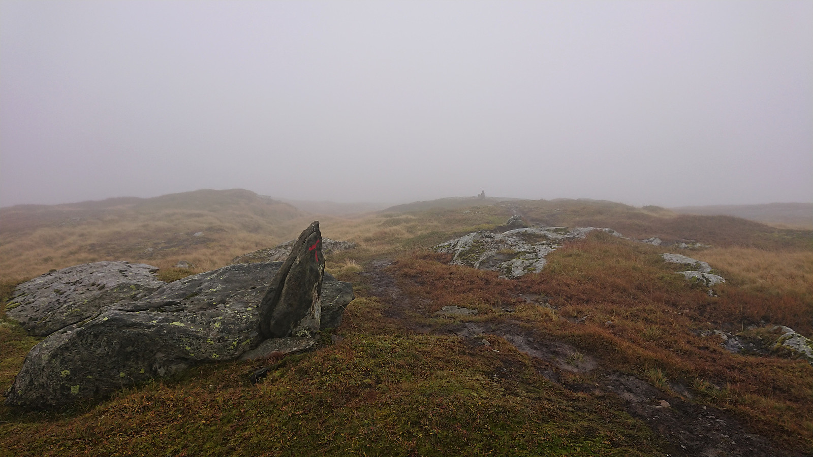
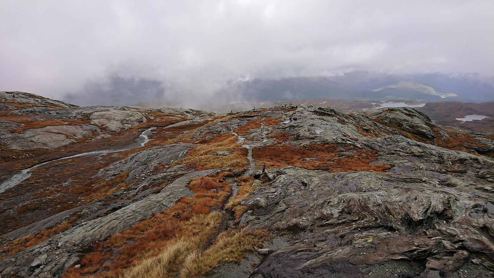
The tractor road continued all the way to Finnhellersvatnet, though it looked more like a trail than a road towards the end. From Finnhellersvatnet the marked trail continued all the way to the summit of Vesoldo (and Tørvikenuten). Note however that the trail indicated on the map does not match all that well with the actual trail, as it takes a slightly different route via Knostenakkjen. I also briefly lost the trail early on after crossing a stream on a stone bridge. Mainly due to trying to follow the hiking signs, which clearly ought to have been moved closer to the trail itself. To avoid this mistake, ignore the signs and simply turn left on a trail towards the summit immediately after crossing the bridge. After quickly reconnecting with the marked trail, I followed it without any issues all the way to the summit of Vesoldo.
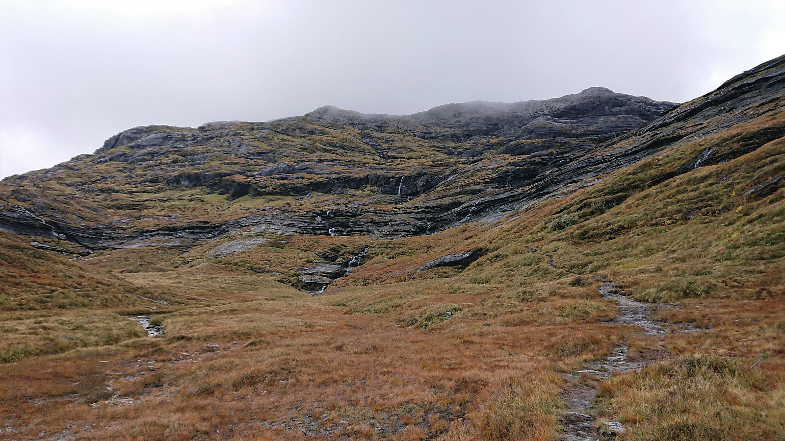
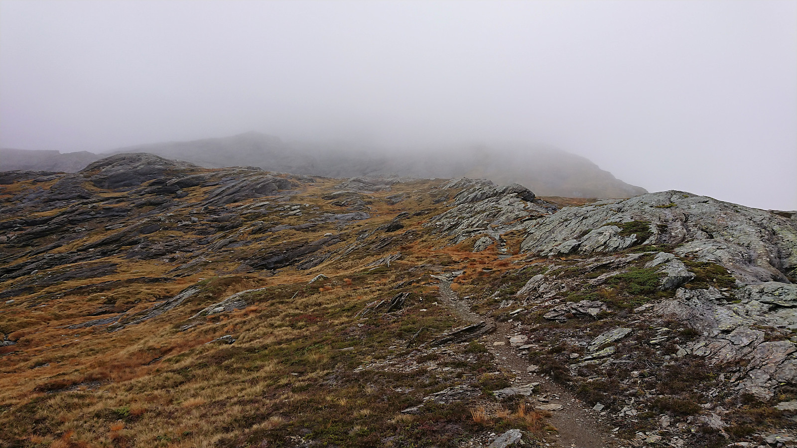
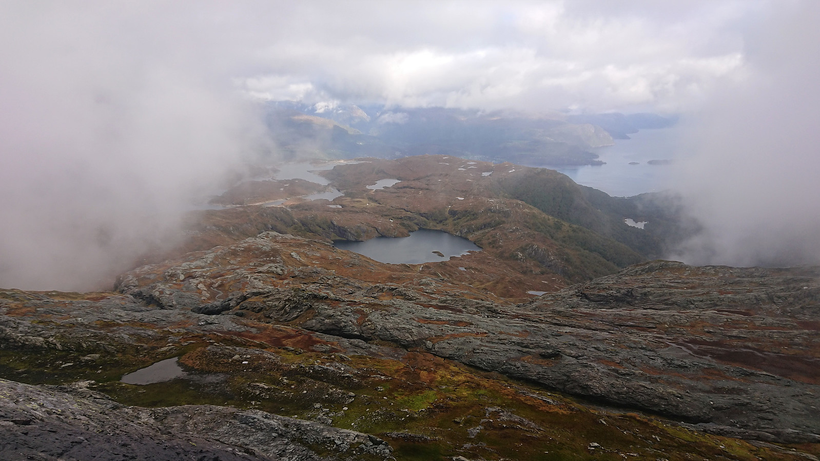
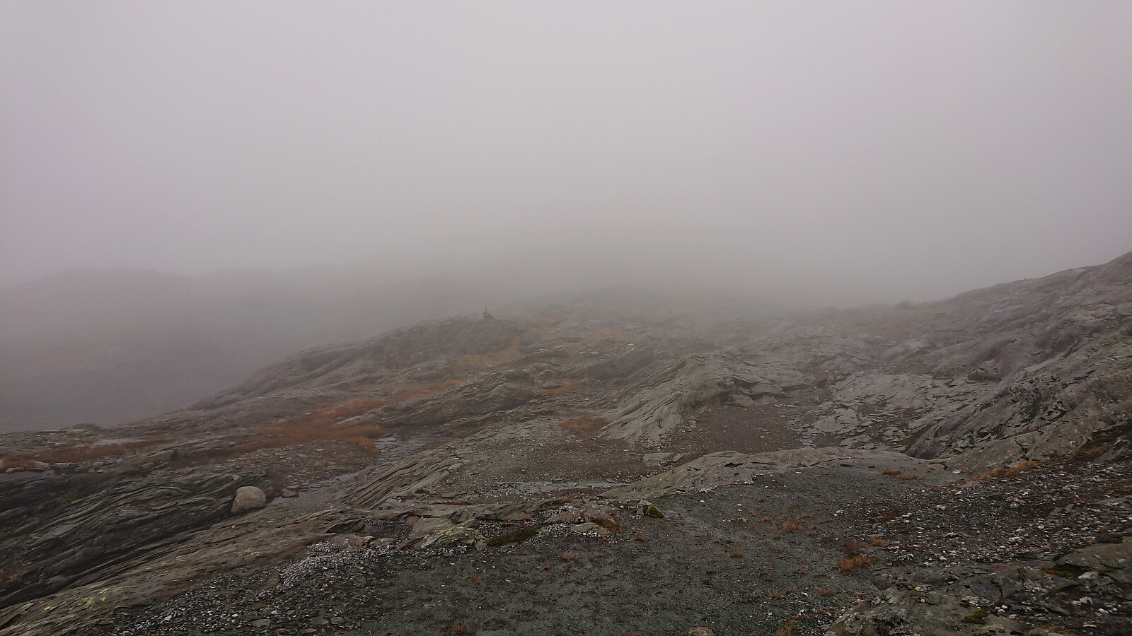
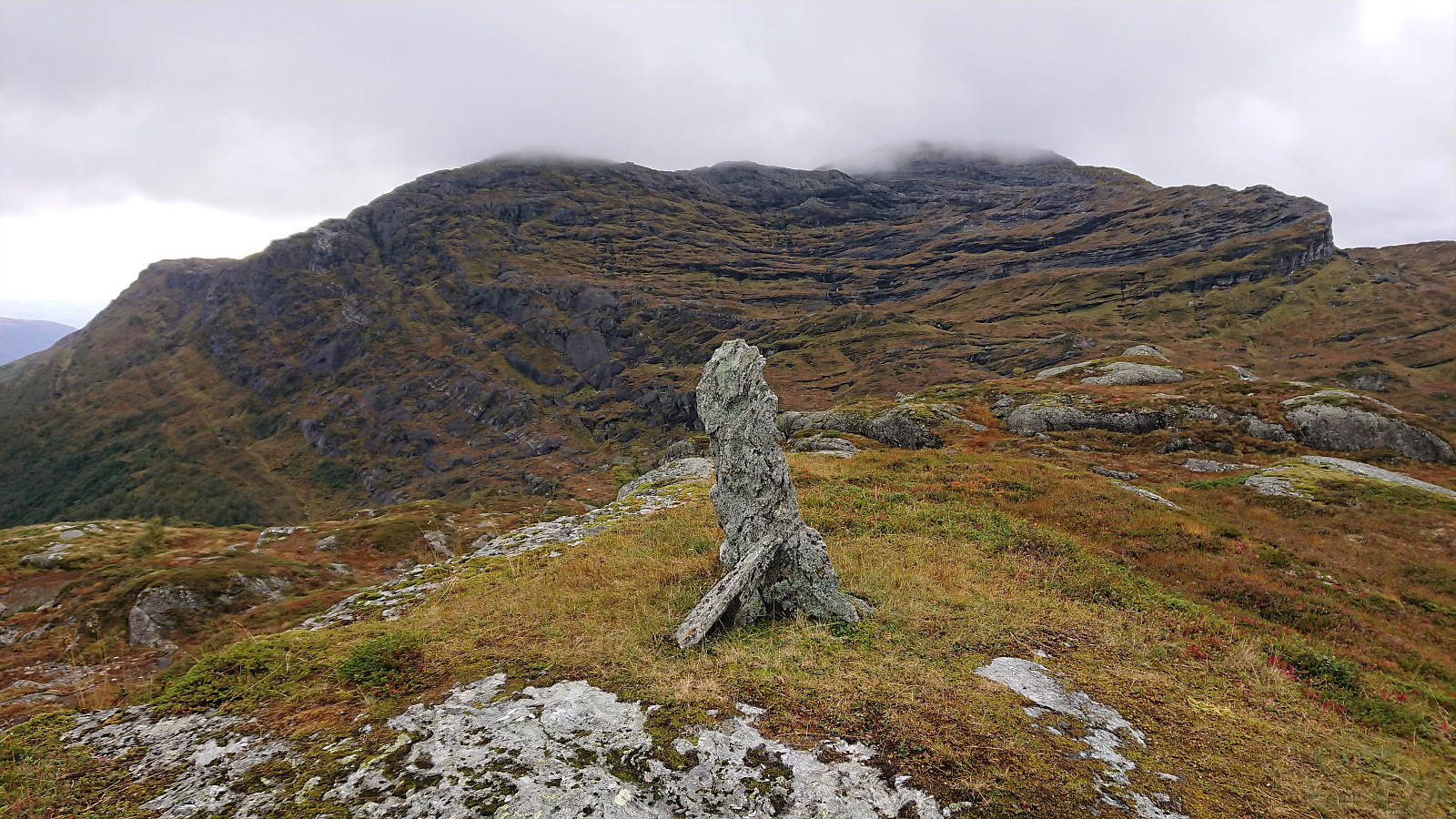
Sadly the very nice weather from the start of the hike had gradually made a turn for the worse during the last part of my ascent, most notably with an increasingly dense fog that greatly reduced the visibility. This resulted in there by no views at all from the summit, except for a brief one-minute glimpse to the northeast before it all again turned completely white. To top it all, it also started raining combined and the wind picking up. Not at all what I had hoped for at the start of the hike! Waiting for the fog to maybe clear was not much of an option under the given conditions, and I instead quickly started my descent along the same route.
A visit of Tørvikenuten, which is supposed to have excellent views, was discarded as both it and the trail towards the summit was completely hidden by the fog. When returning to Finnhellersvatnet it thankfully stopped raining and the visibility greatly improved. The fog at the summits of Vesoldo and Tørvikenuten would however not properly clear for a couple more hours, hence I had no regrets about not waiting around at the summit.
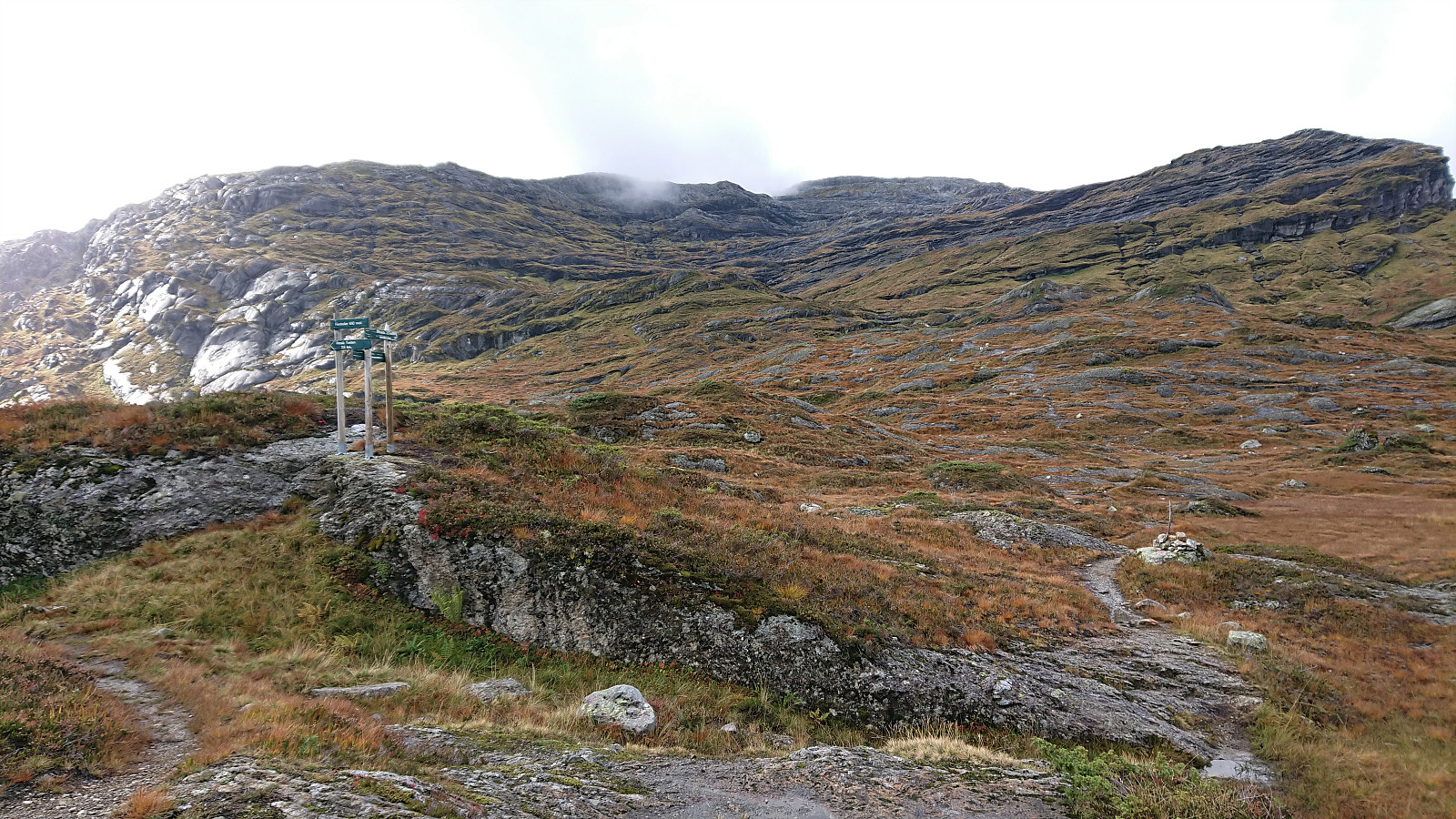
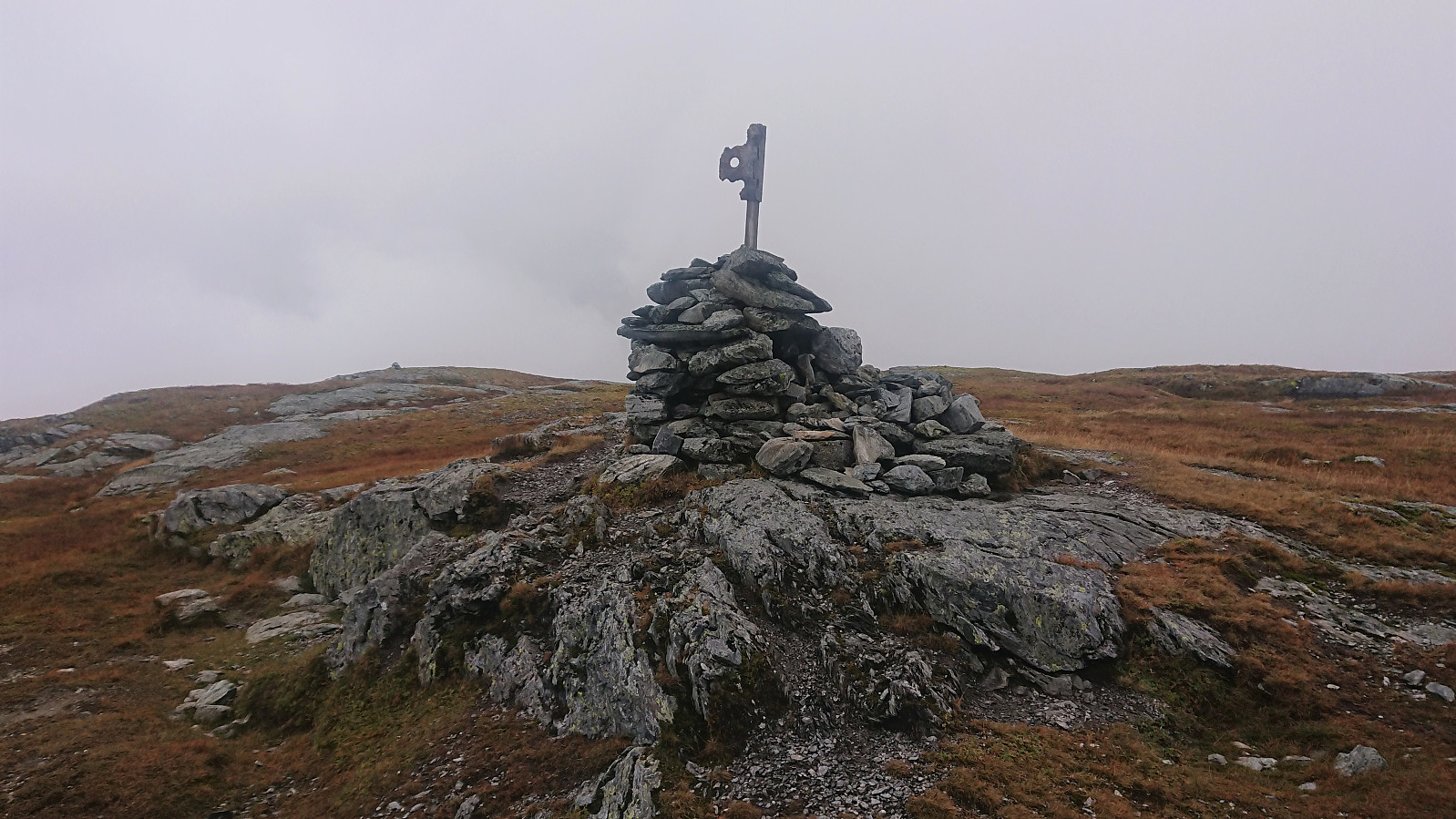
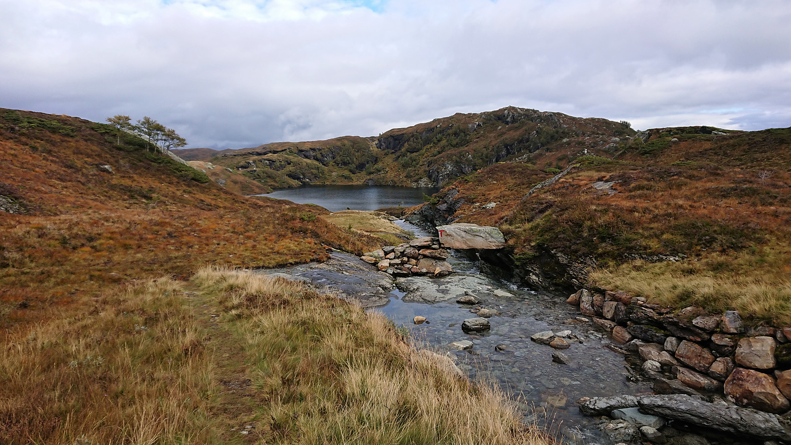
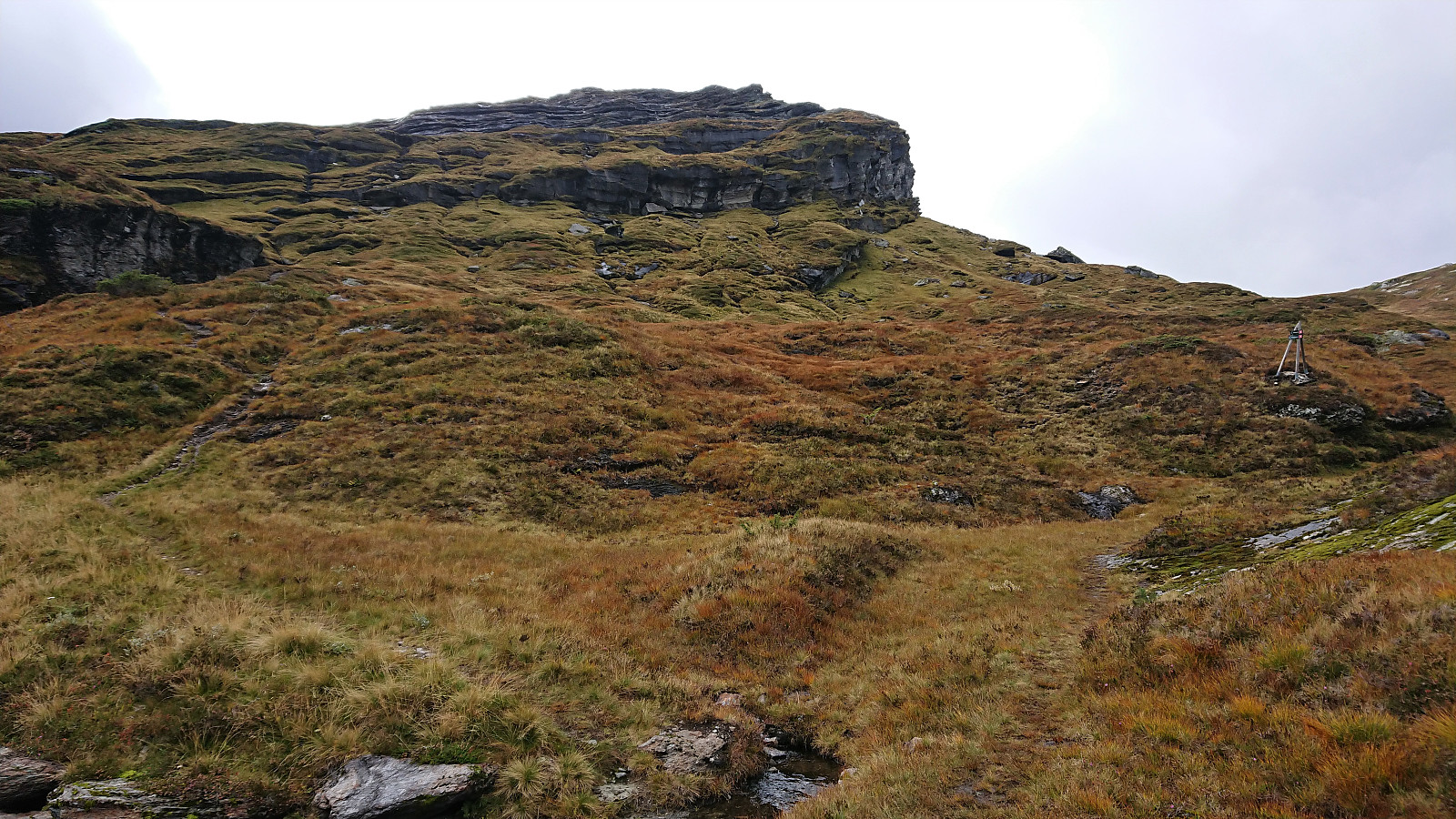
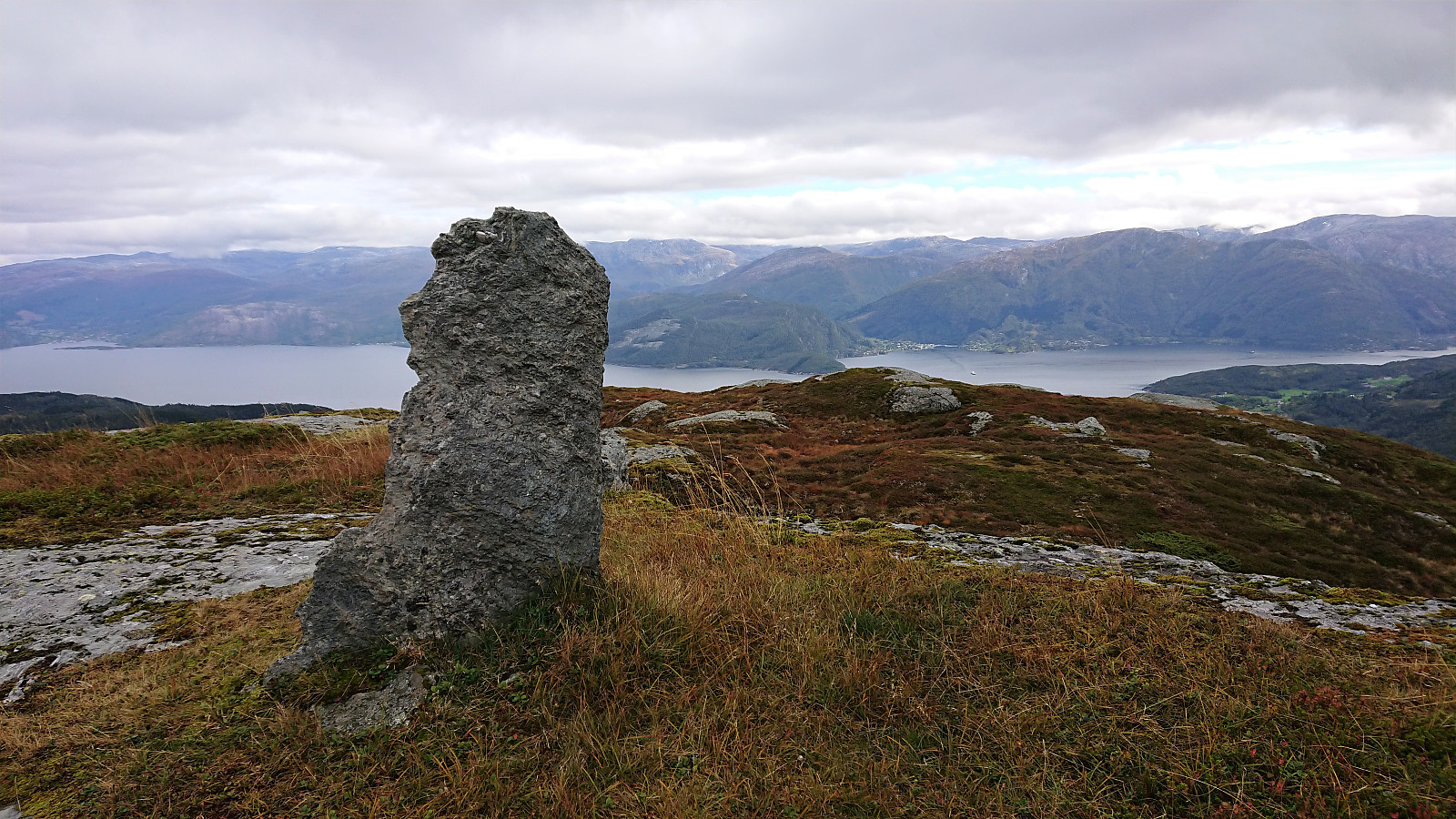
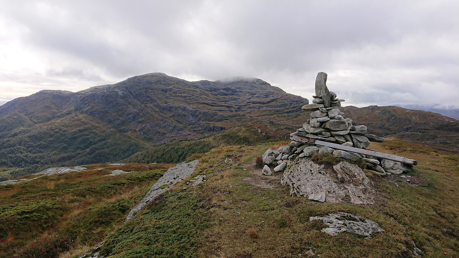
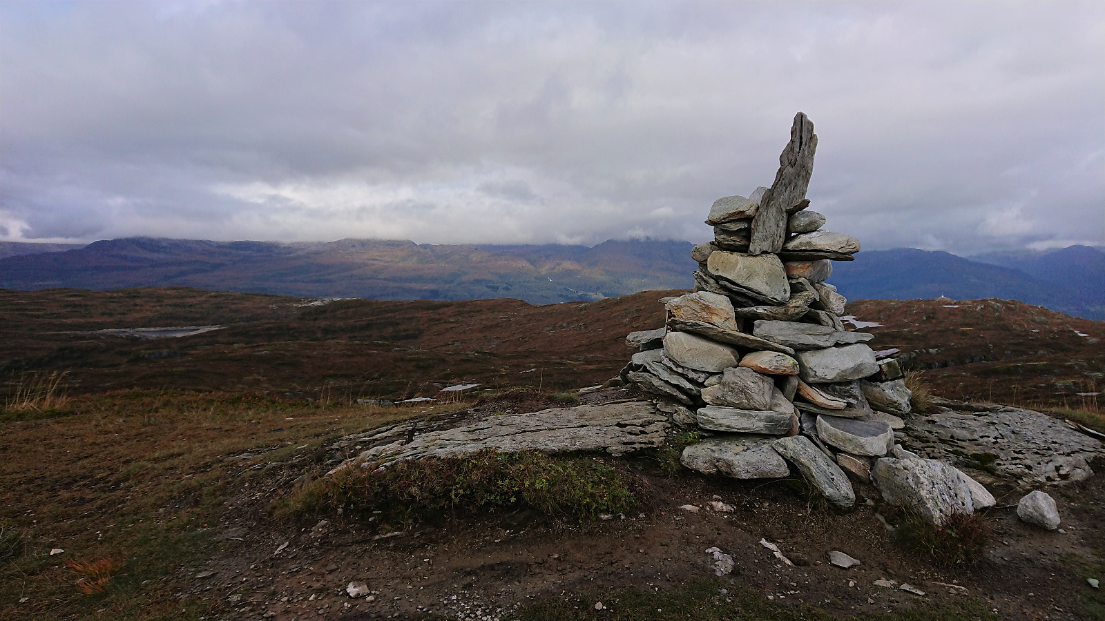
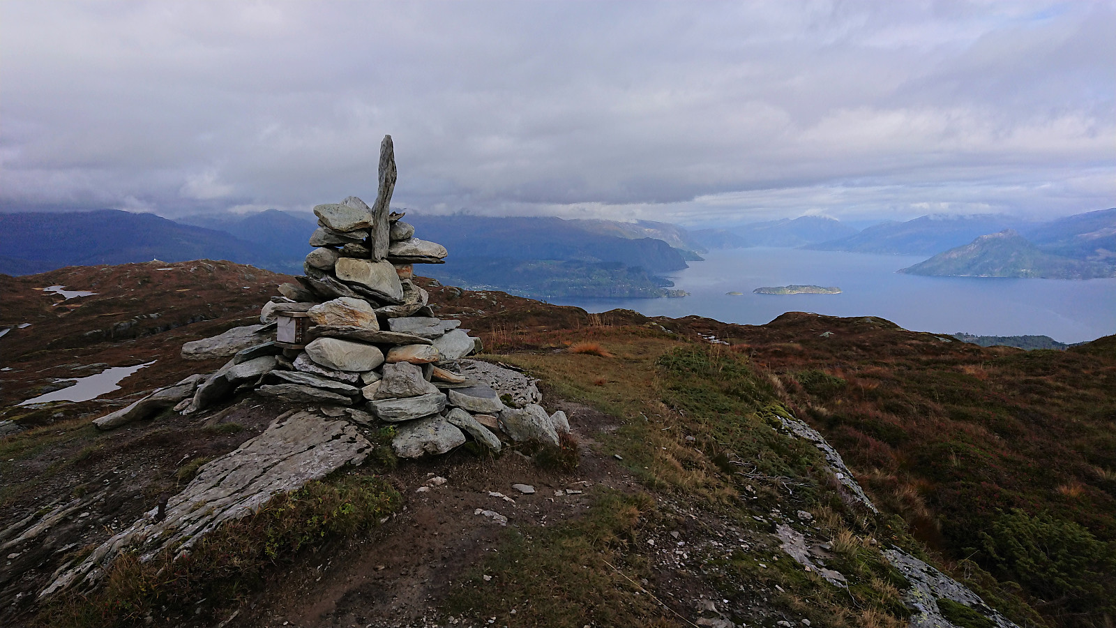
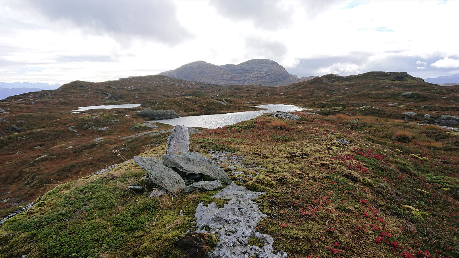
After a quick lunch next at a bench to Finnhellersvatnet, I continued towards Mjølausa, partly following a weak trail/animal track. The summit was therefore reached without any real issues and provided pretty good views. I however did not stay long before continuing towards Slåttenuten, first along a weak trail (occasionally) marked by small cairns, and later on a proper trail taking me all the way to a summit which provided excellent views, though still limited by the low-hanging clouds.
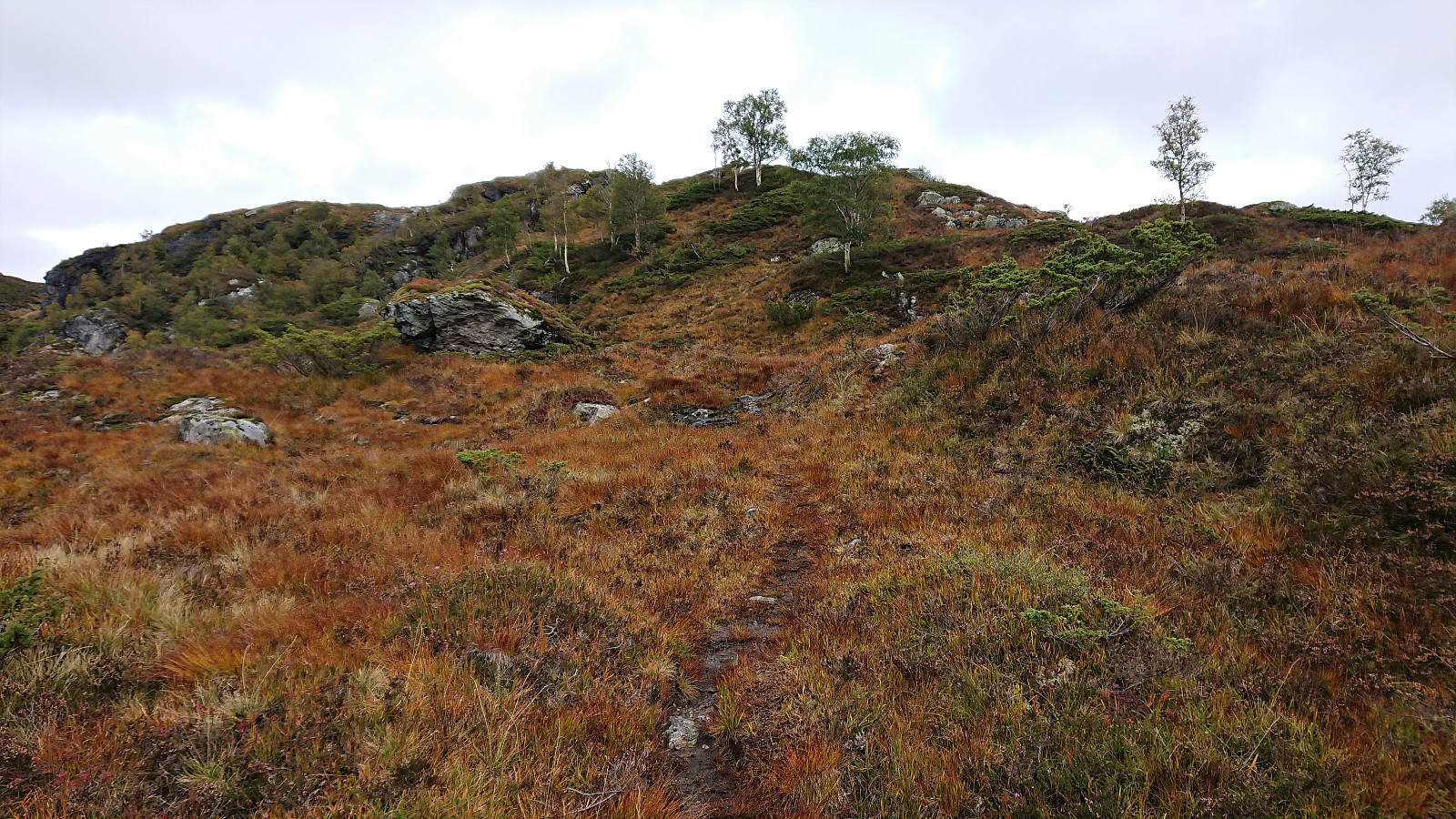
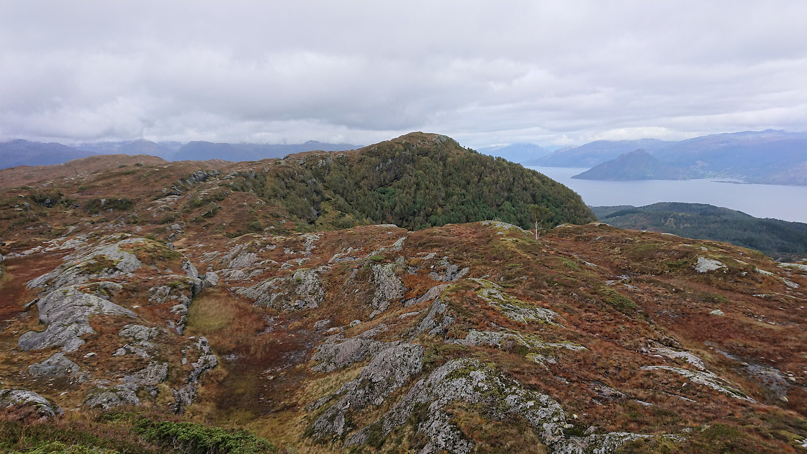
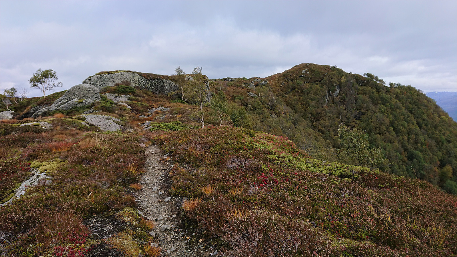
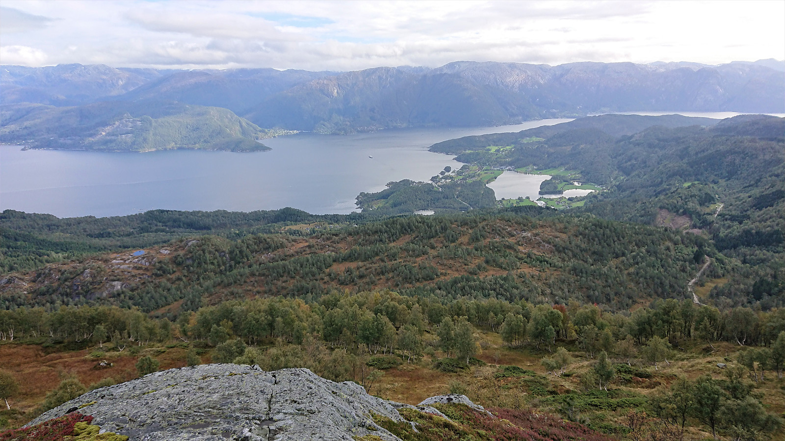
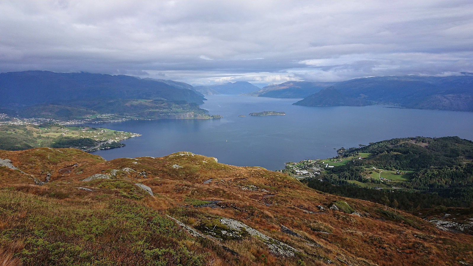
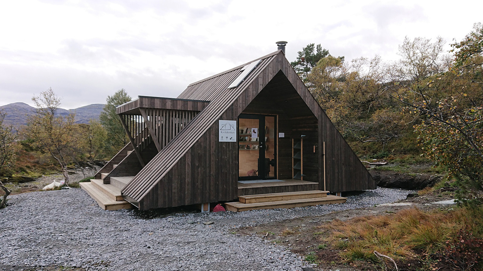
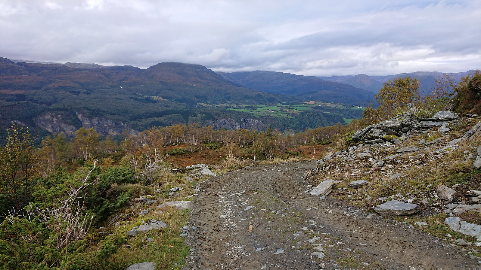
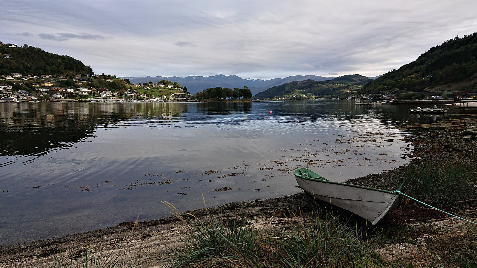
From Slåttenuten I continued along various unmarked trails towards the northeastern end of Krokavatnet. Note that while the trails were of ok quality and easy to follow, they did split on multiple occasions without any signs to indicate directions. Hence bringing a GPS with all of the minor trails indicated may be a good idea. That being said, I still made the error of heading too far north before realizing that I had connected with the wrong tractor road. I therefore had to go back up to the north end of Krokavatnet before starting the descent along the correct tractor road, after first doing a quick detour to the new "dagsturhytte" called Kvilekroken. The tractor road, which was of varying quality with regards to hiking and probably not that frequently used for this purpose, took me all the way down to Sandven. From there all that remained was the short walk back to the center of Norheimsund and the bus back to Bergen.
In summary, while the views from Vesoldo clearly did not turn out as I had hoped, the hike was still very enjoyable and can very much be recommended. Most of the hike was on marked and/or easy to follow trails, with the only off-trail section being the short stretch from Finnhellersvatnet to Mjølausa and (partly) Slåttenuten. Maybe I will have to come back to Vesoldo/Tørvikenuten on a future hike to hopefully experience what the views are really like.
| Starttidspunkt | 25.09.2021 10:41 (UTC+01:00 ST) |
| Sluttidspunkt | 25.09.2021 17:12 (UTC+01:00 ST) |
| Totaltid | 6t 31min |
| Bevegelsestid | 5t 50min |
| Pausetid | 0t 40min |
| Snittfart totalt | 3,4km/t |
| Snittfart bevegelsestid | 3,8km/t |
| Distanse | 22,4km |
| Høydemeter | 1337m |

Kommentarer
Interesting...
Skrevet av HHauser 28.09.2021 00:07... route -- thanks for the report and the pictures! And you'll do Vesoldo (and Tørvikenuten!) again, one day, when hopefully you have some better weather -- the views across Hardanger are indeed great from up there! :-)
Re: Interesting...
Skrevet av hbar 28.09.2021 12:15Thanks! The only problem with maybe returning for a future hike is that the list of summits to potentially revisit in better weather just keeps on growing... ;)