Cycling: Kalandsvatnet, Tereleitet, Bjørnåsen and Hamresåta (05.09.2021)

| Startsted | Lønborg (56moh) |
|---|---|
| Sluttsted | Lønborg (56moh) |
| Turtype | Blandet sykling |
| Turlengde | 5t 49min |
| Distanse | 64,7km |
| Høydemeter | 1226m |
| GPS |
|
| Bestigninger | Bjørnåsen (205moh) | 05.09.2021 |
|---|---|---|
| Hamresåta (253moh) | 05.09.2021 | |
| Tereleitet (245moh) | 05.09.2021 | |
| Andre besøkte PBE'er | Bryggen i Bergen (1moh) | 05.09.2021 |
| Kismul p-lomme (90moh) | 05.09.2021 | |
| Nygårdsbroene (5moh) | 05.09.2021 |
Cycling: Kalandsvatnet, Tereleitet, Bjørnåsen and Hamresåta
Another cycling trip around Kalandsvatnet, this time to visit two new minor summits recently added to the Alle topper i Bergen list, namely Bjørnåsen and Hamresåta. Thanks to the recent trip report from knutsverre (Knut S. Andersen), both Bjørnåsen and Hamresåta were now straightforward to get to via trails, and I pretty much followed in the footsteps of Knut Sverre and Astrid.
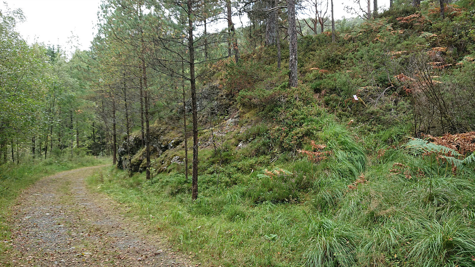
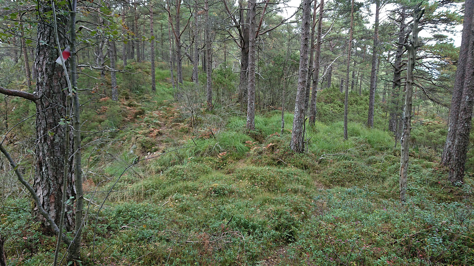
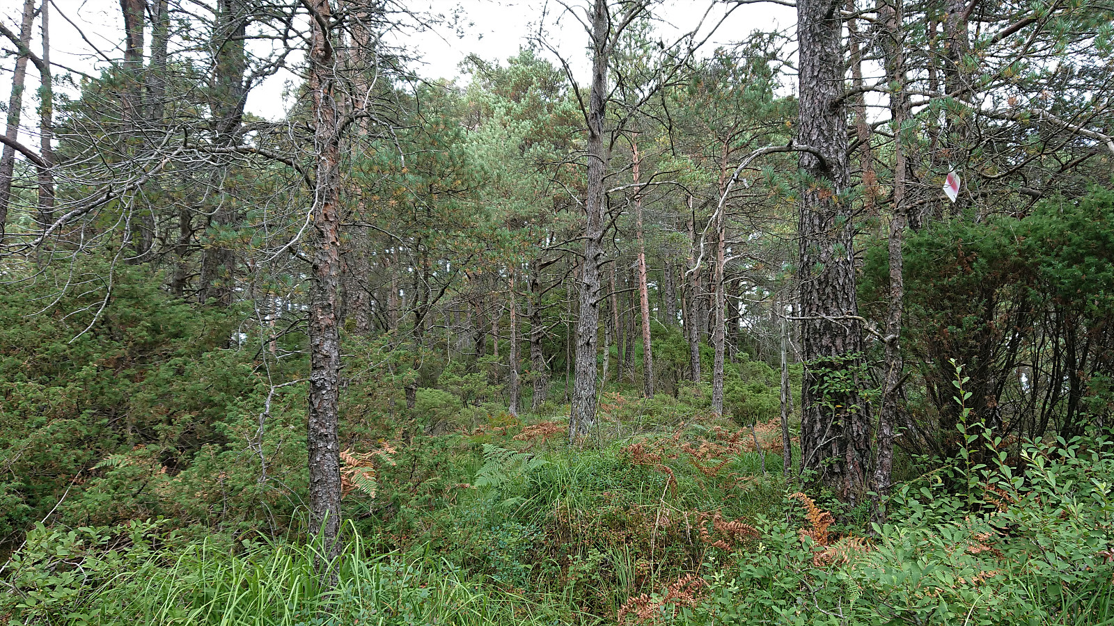
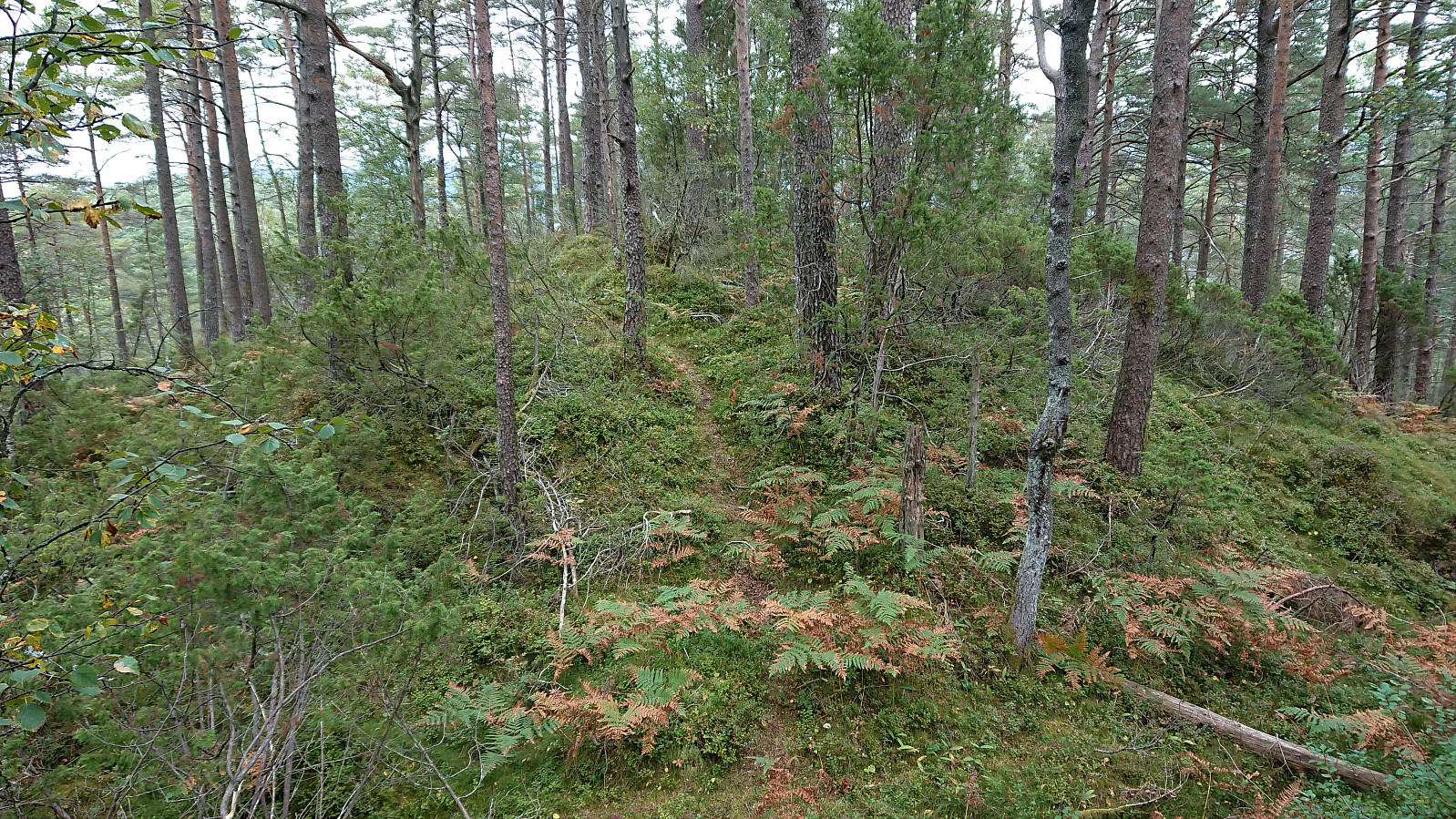
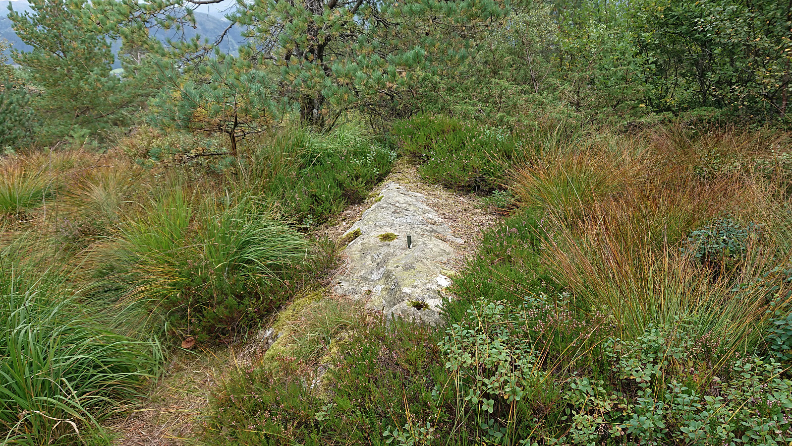
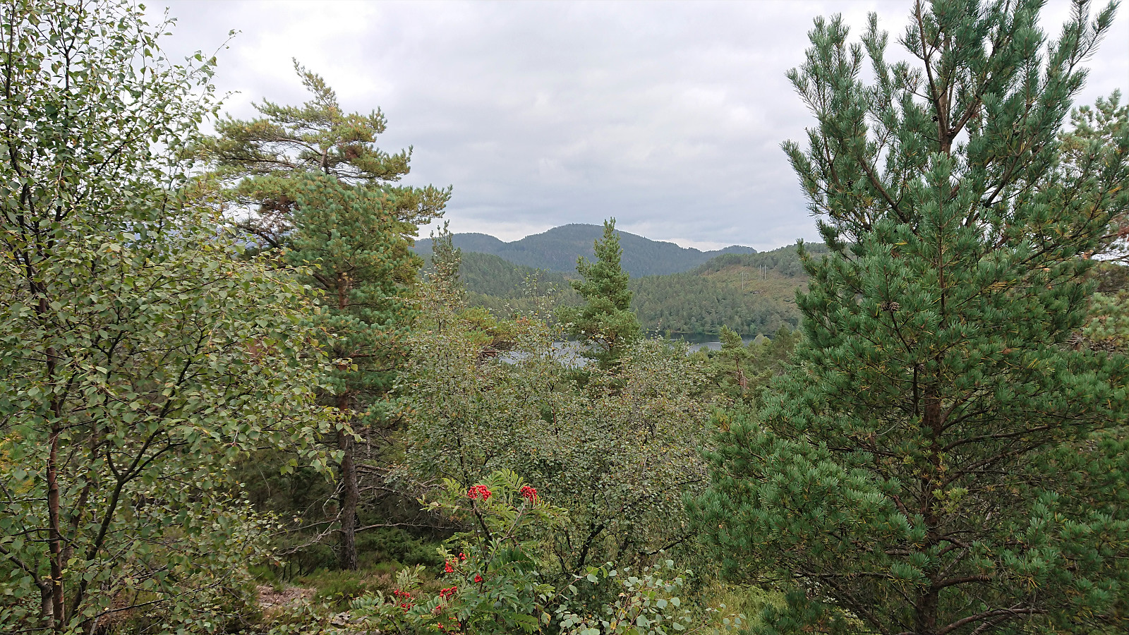
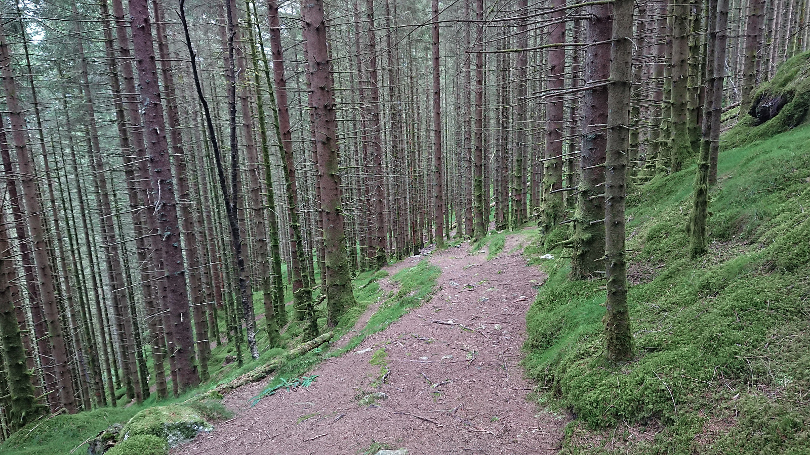
Note that while the trail for Bjørnåsen is marked, I still almost missed the trailhead, as the trail itself was pretty weak. But if you start looking to the right just before the trail reaches Ulvvatnet/Svartavatnet you should able to locate the first trail marker. I left the bike at the trailhead and followed a trail that was, at least at the moment, quite hidden by ferns and tall grasses, but it could still be followed without much difficulty and made it straightforward to reach the summit which, as expected, provided close to no views.
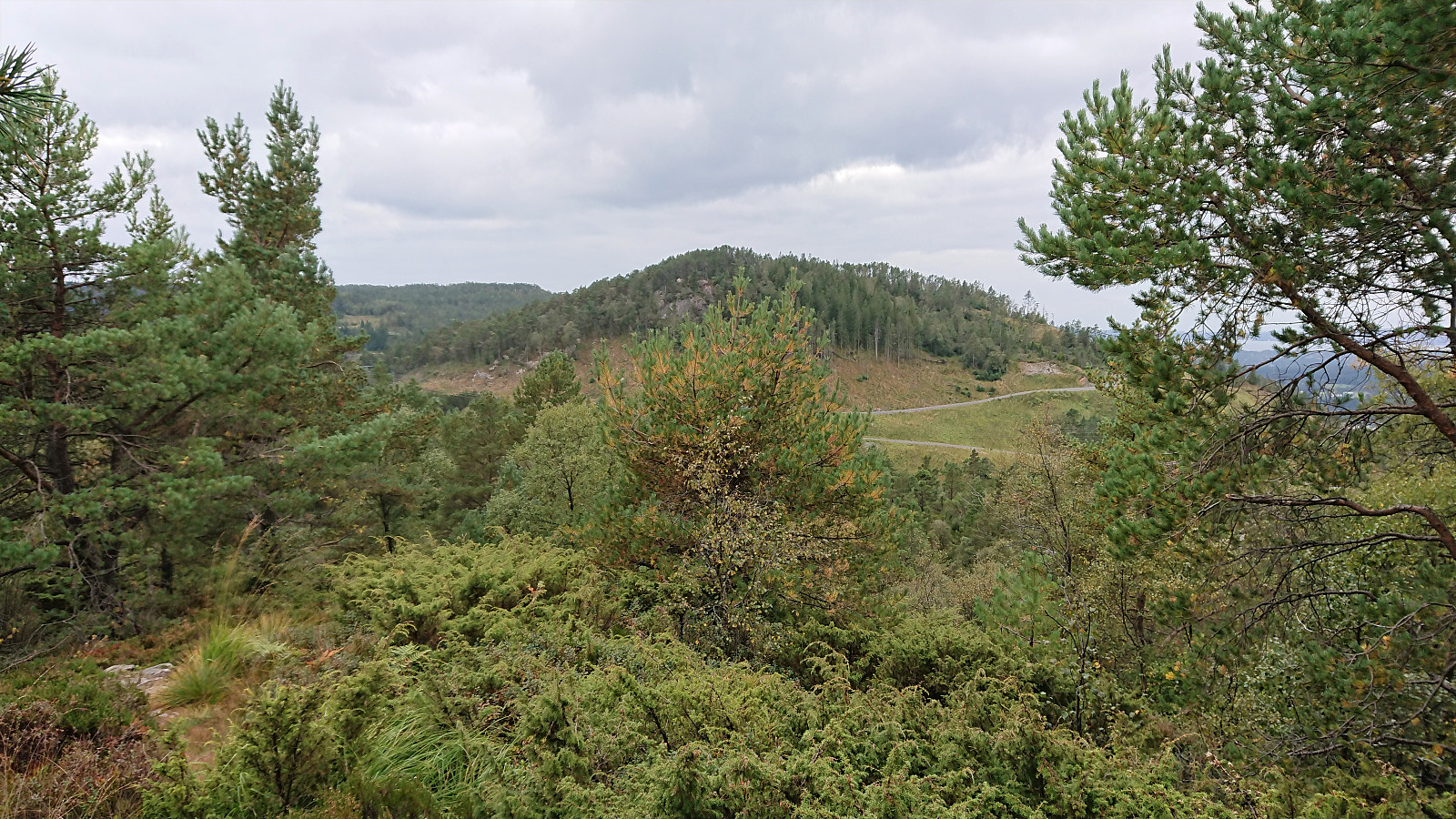
Note that the trail to Bjørnåsen continued north across the summit. Maybe all the way to the slightly lower summit called Fuglen (32V 300695 6685812, 197 meters above sea level)? Or maybe all the way to Kalandsvatnet? Perhaps something to explore on a future hike when not coming by bike.
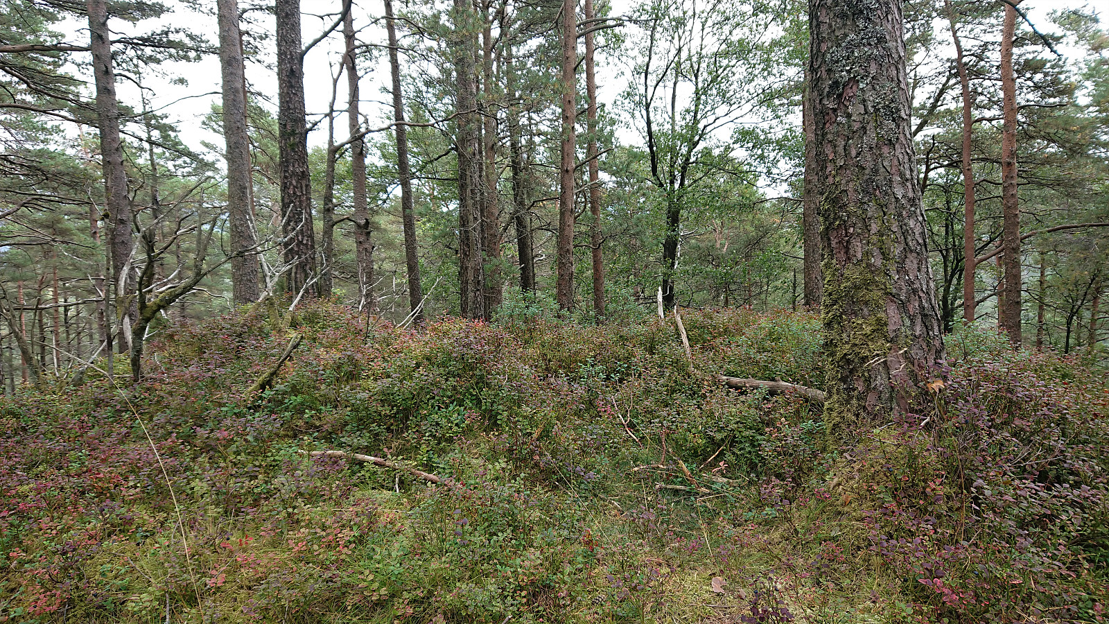
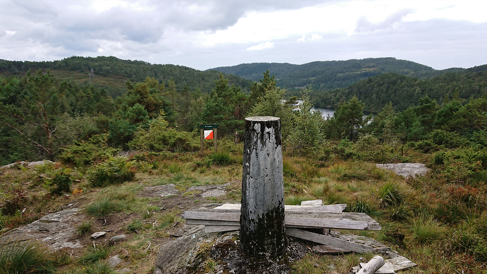
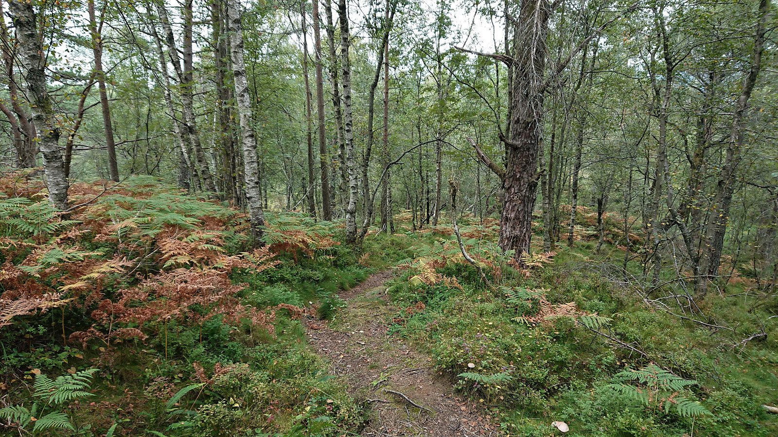
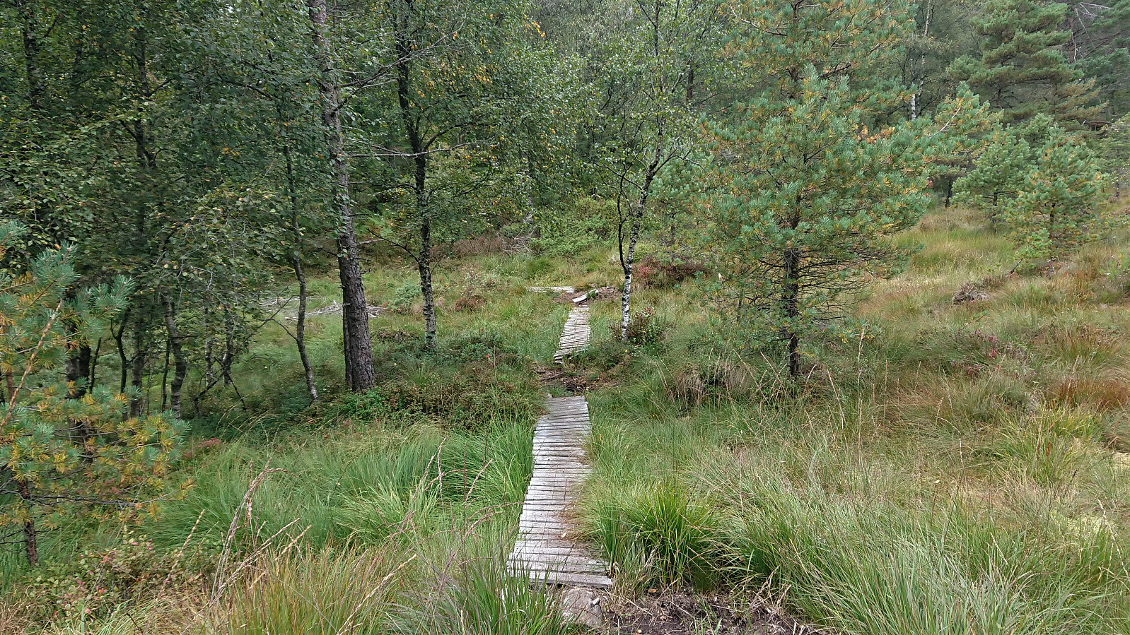
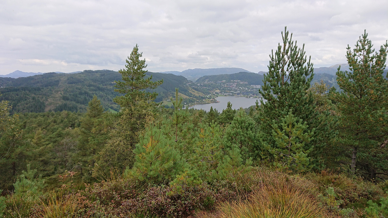
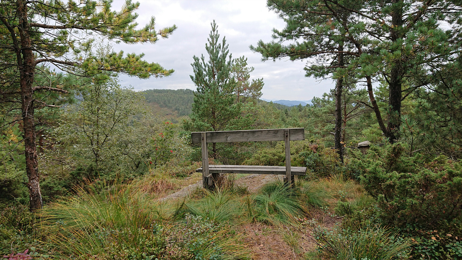
After returning to my bike, I cycled to the crossroads east of Tereleitet, where I again left the bike behind and continued on foot, first passing by Tereleitet and then onwards to Hamresåta. All the way on an easy-to-follow trail. Relatively limited views from Hamresåta, but significantly better than from Bjørnåsen and there was even a bench where I stopped for a quick lunch before returning the same way (except for making a shortcut from Tereleitet back to the crossroads east of the summit).
Overall, Hamresåta was a positive surprise while Bjørnåsen will quickly be forgotten.
| Starttidspunkt | 05.09.2021 12:29 (UTC+01:00 ST) |
| Sluttidspunkt | 05.09.2021 18:18 (UTC+01:00 ST) |
| Totaltid | 5t 49min |
| Bevegelsestid | 5t 24min |
| Pausetid | 0t 25min |
| Snittfart totalt | 11,1km/t |
| Snittfart bevegelsestid | 12,0km/t |
| Distanse | 64,7km |
| Høydemeter | 1226m |

Kommentarer