Haukåsfjellet from Tokagjelet (28.08.2021)

| Start point | Tokagjelet (360m) |
|---|---|
| Endpoint | Tokagjelet (360m) |
| Characteristic | Hillwalk |
| Duration | 6h 58min |
| Distance | 23.8km |
| Vertical meters | 1,093m |
| GPS |
|
| Ascents | Haukåsfjellet (660m) | 28.08.2021 |
|---|---|---|
| Storlinuten (644m) | 28.08.2021 | |
| Visits of other PBEs | Grønli (473m) | 28.08.2021 |
| Holsete (398m) | 28.08.2021 | |
| Svartaberg (530m) | 28.08.2021 |
Haukåsfjellet from Tokagjelet
For some time I had been looking into the possibility of hiking to Haukåsfjellet from Tokagjelet/Langvotnevatnet, as the map indicated that I should be able to follow a trail the whole way. Getting to the start of this planned hike by bus would however turn out to be slightly more complicated than I had thought, as I happened to pick the same day to go hiking as when seemingly half of all the international students in Bergen had decided to hike Trolltunga (as the same bus was going all the way to Odda). When the bus finally showed up at the bus stop next to NHH, it was more than ten minutes late and had in fact turned into two buses, but both of them already with no free seats. I therefore had to stand until we got to Arna, where, after another short break, yet another bus showed up to take over all of us excess passengers, and I was finally on my way to Kvamskogen. It clearly seemed like it is not the first time this had happened with this particular bus, so kudos to the bus company for the extra service provided by adding additional buses!
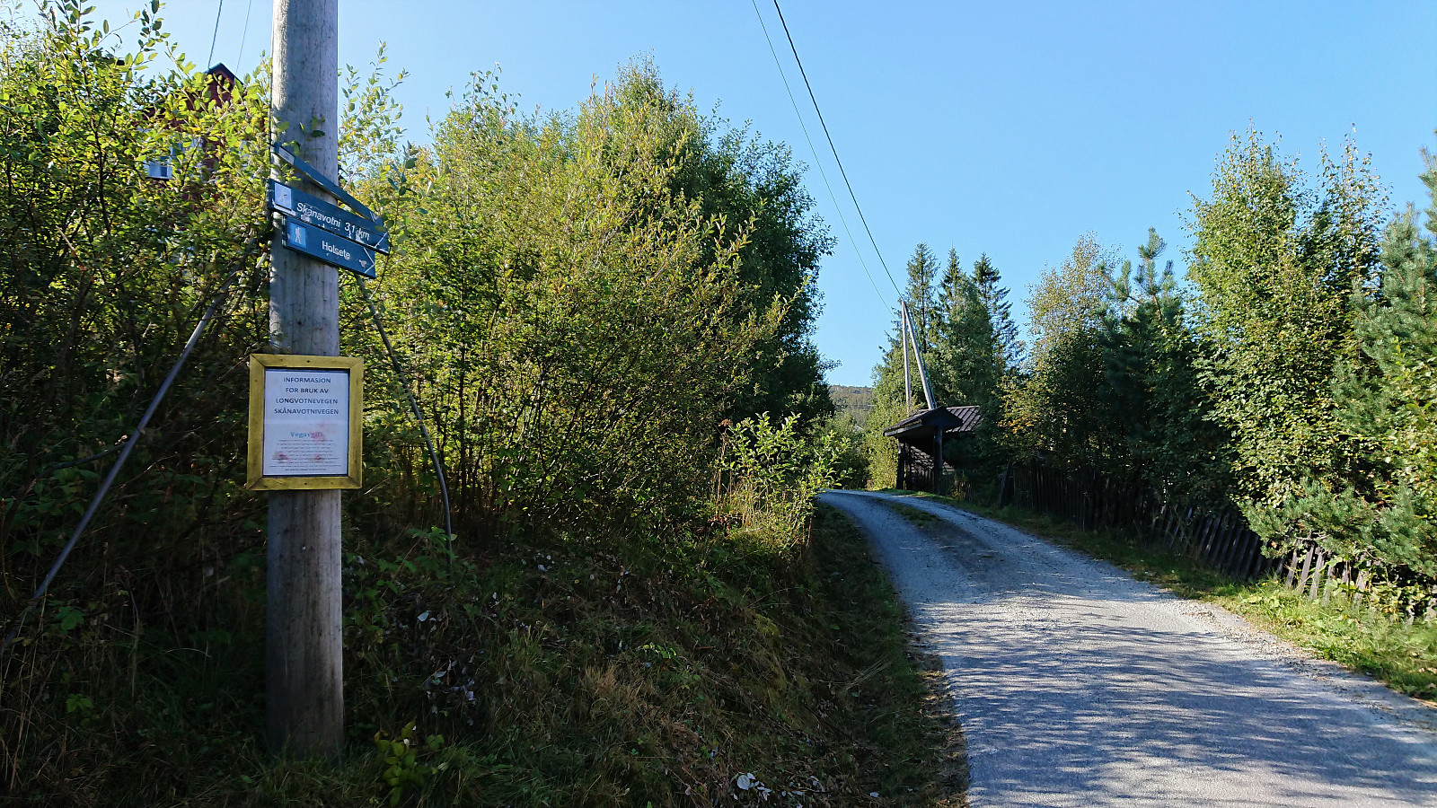
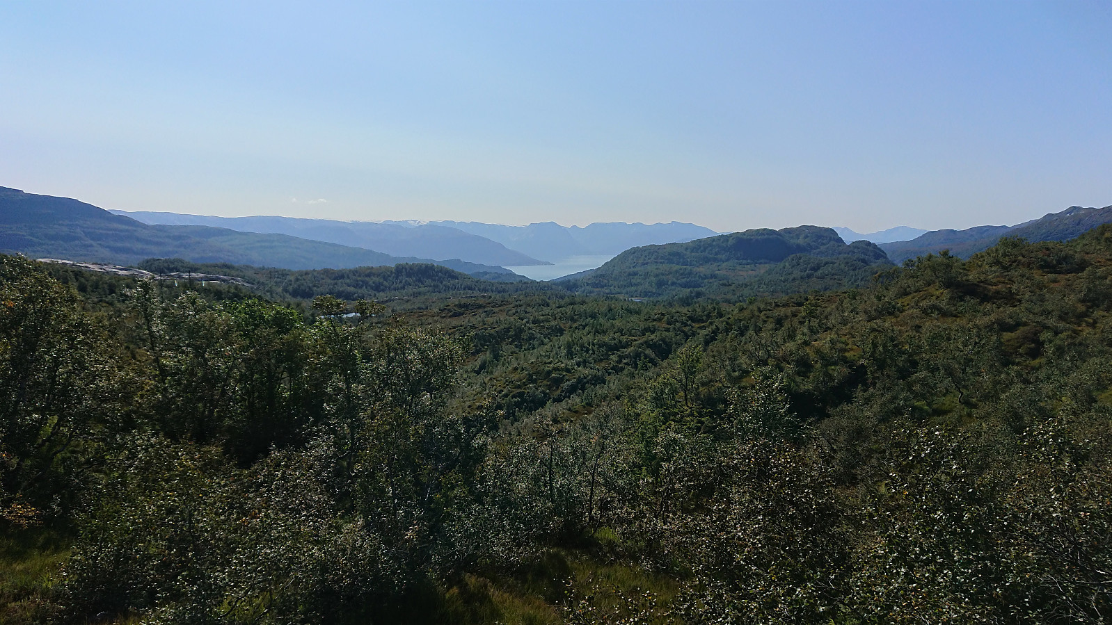
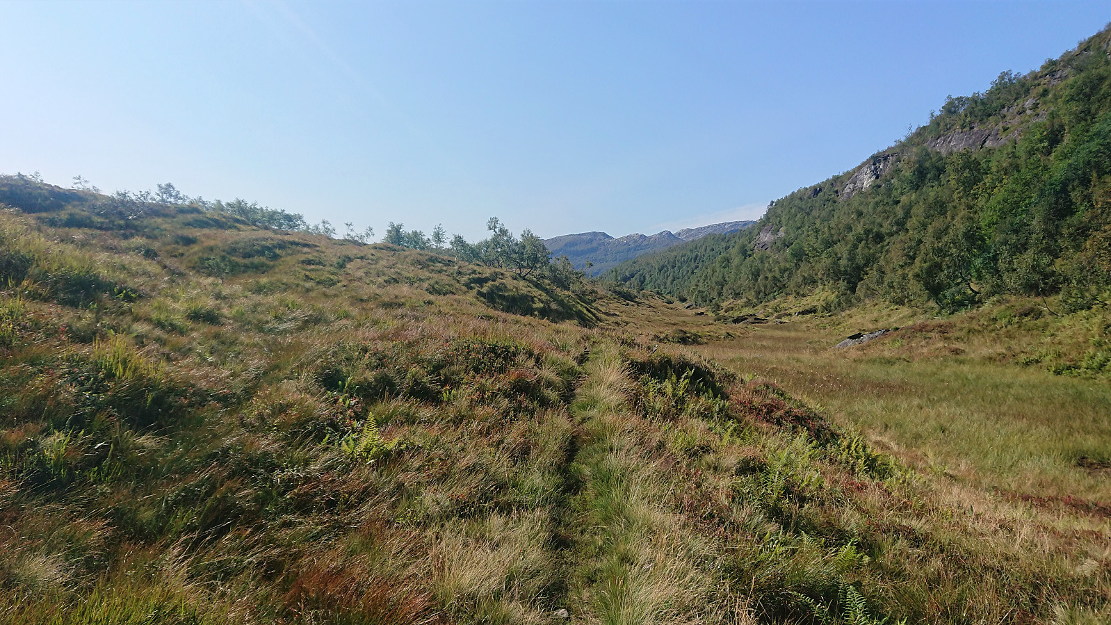
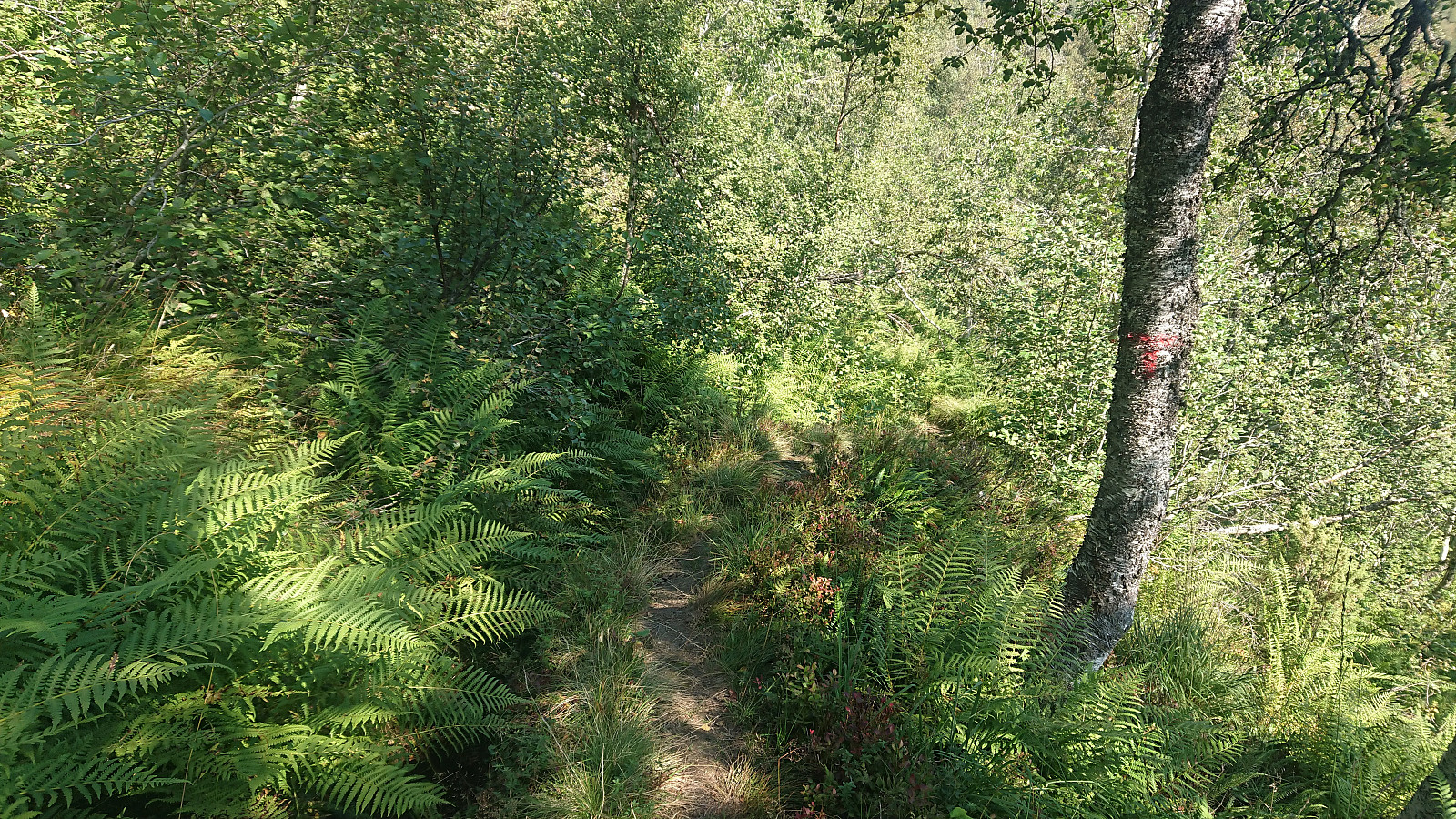
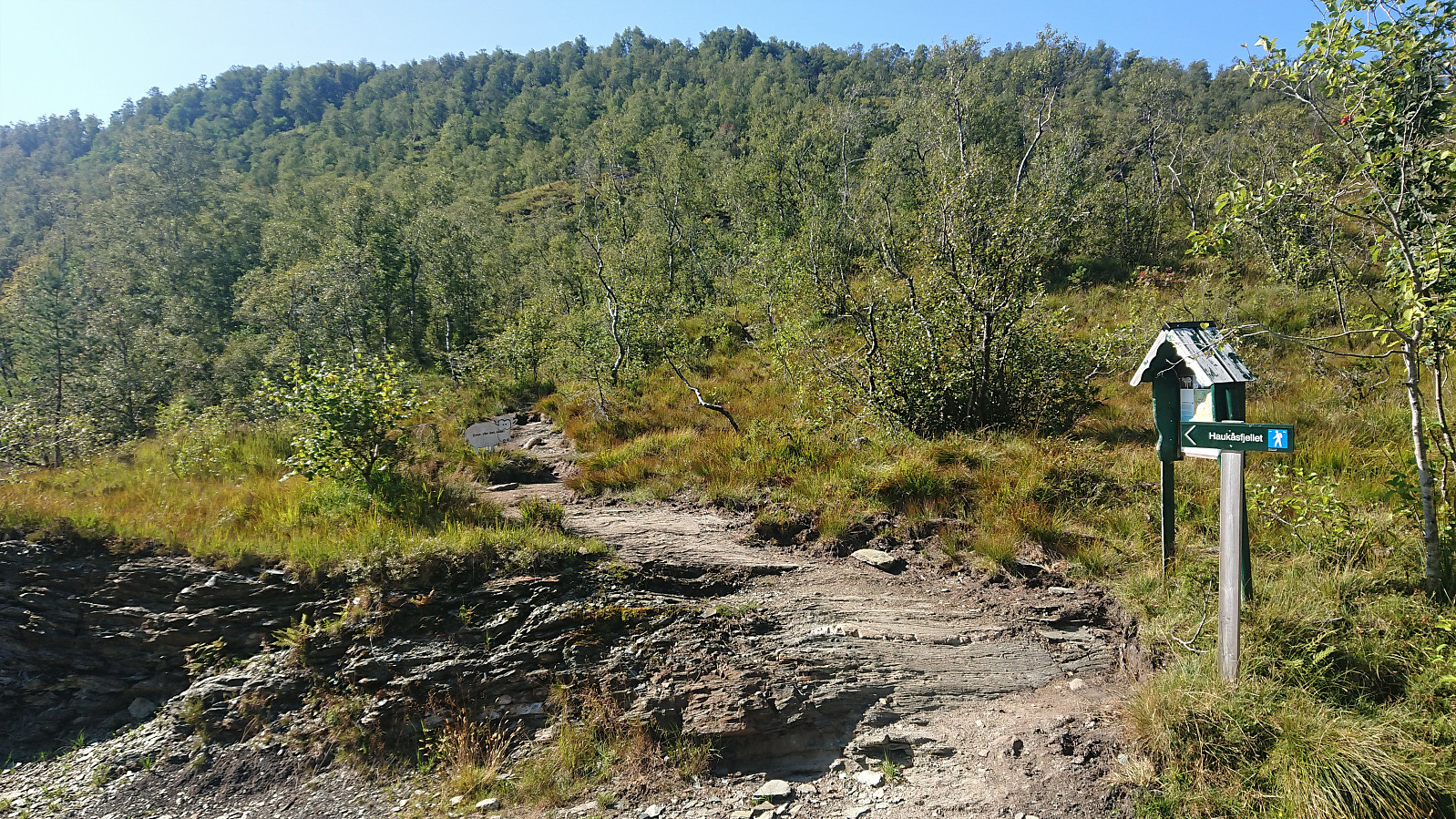
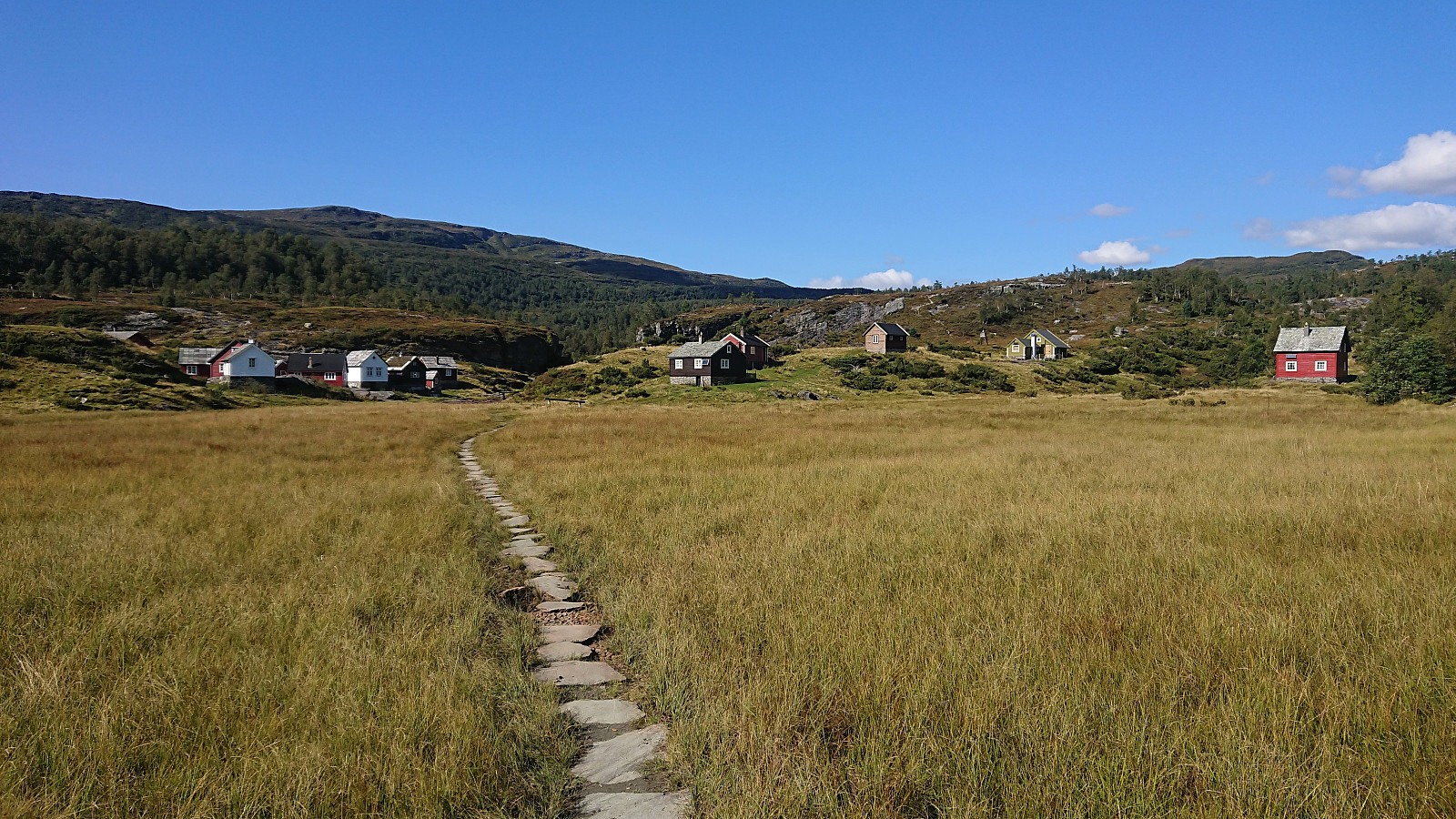
After this minor delay, I was more than ready to start my hike, beginning from the last bus stop before descending to Norheimsund, called Tokagjelet. First, I shortly walked back along the road before following a gravel road south, taking me to the other side of Langvotnevatnet. I was happy to see several hiking signs for Holsete before starting on the tractor road up to Svartaberg. At Svartaberg, the tractor road turned into an unmarked trail that was easy to follow until getting to west of Fagrafjellet. Here the trail I was supposed to follow pretty much disappeared, while a much clearer trail headed west in the direction of Breiarusta and Såta.
I therefore continued off-trail to Langavatnet where I soon came across another trail along the ridge to the east side of the lake, which I then proceeded to follow with relative ease until arriving at Grønli. At Grønli I briefly lost the trail again as I was trying to follow the trail indicated on the map. Thankfully I soon reconnected with the trail (see my return route for a better option that more closely follows the actual trail). The trail was now even (occasionally) marked with red T's.
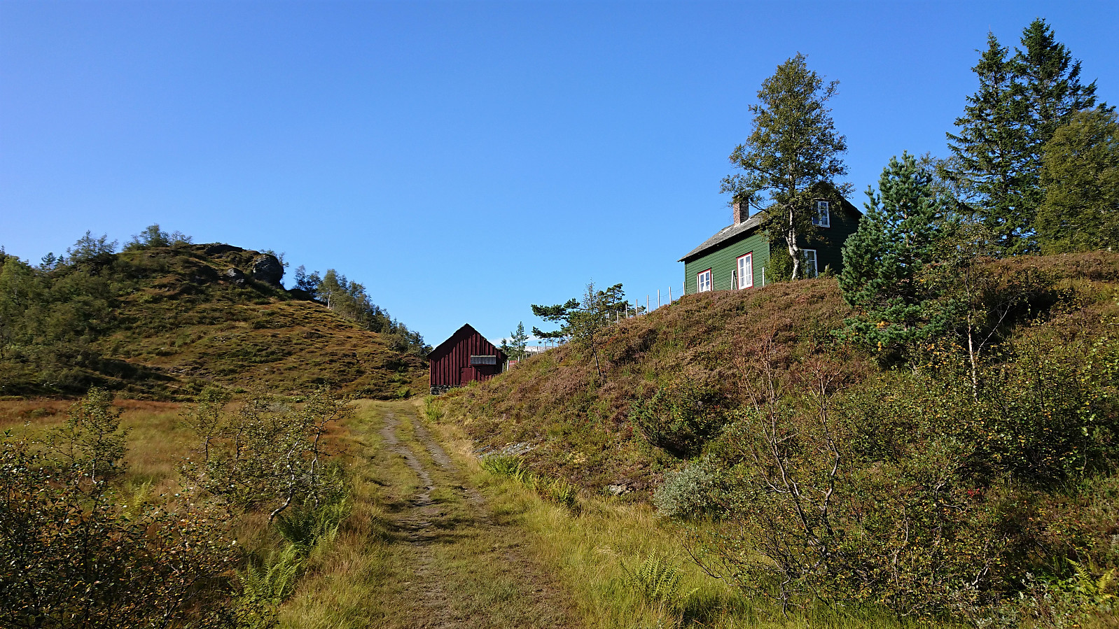
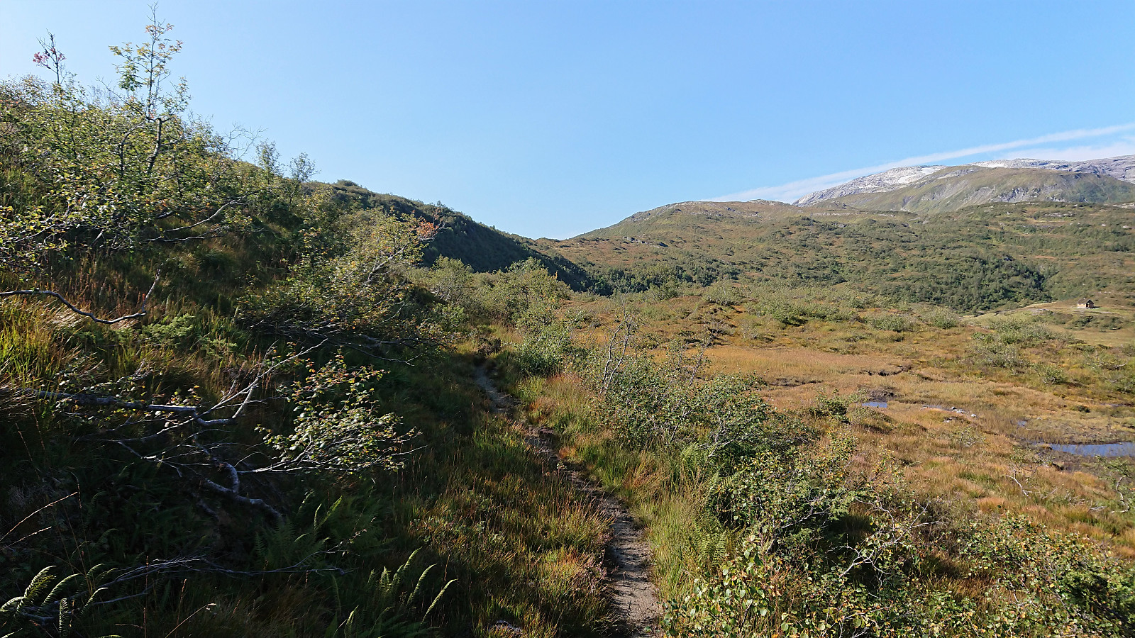
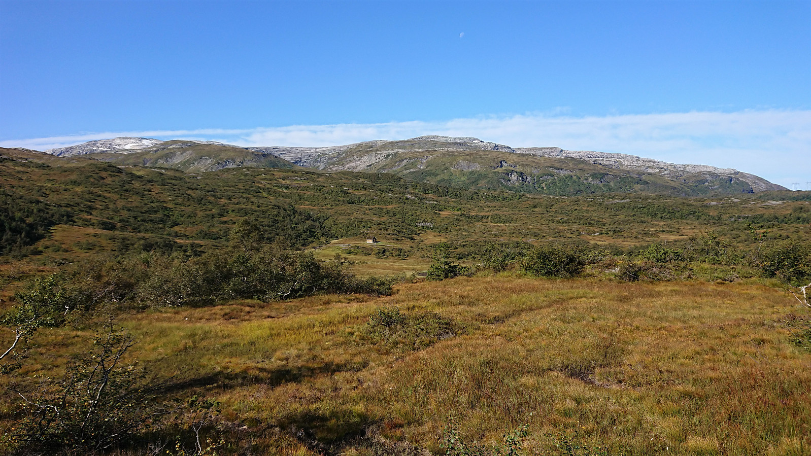
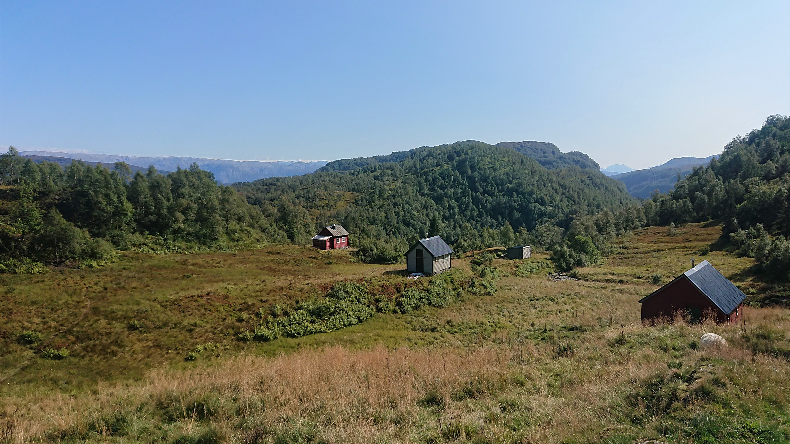
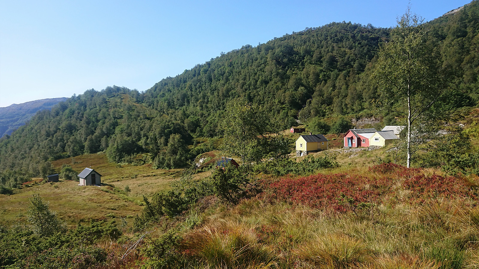
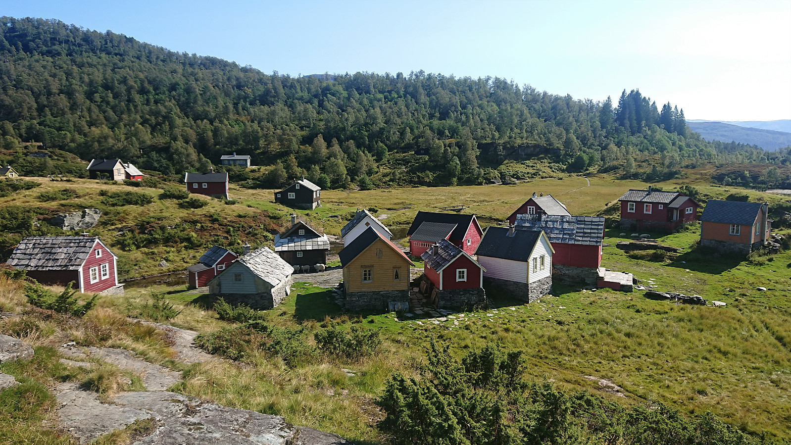
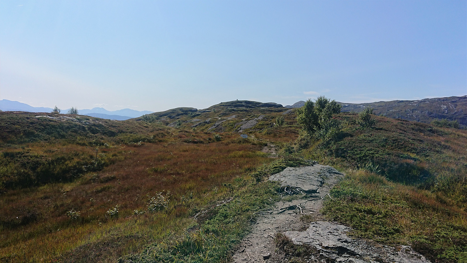
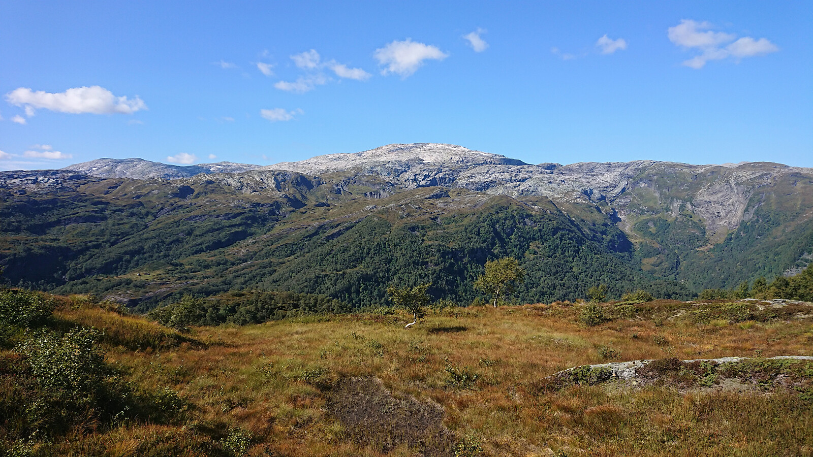
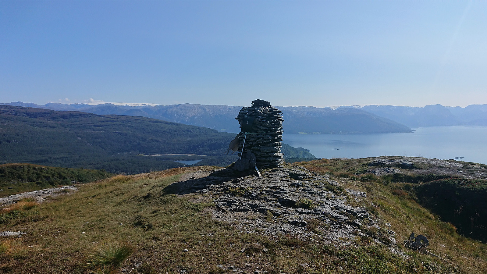
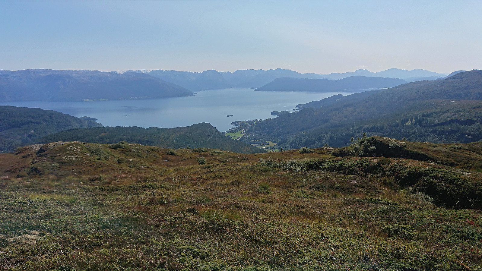
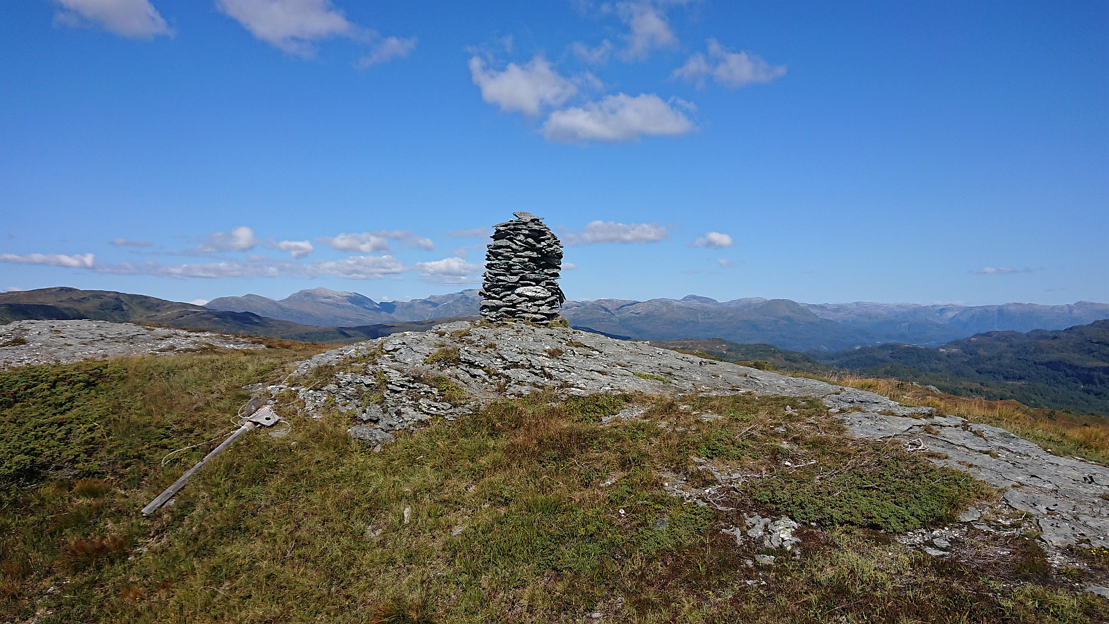
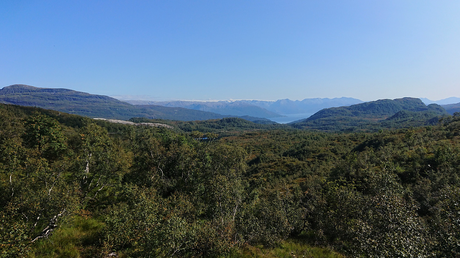
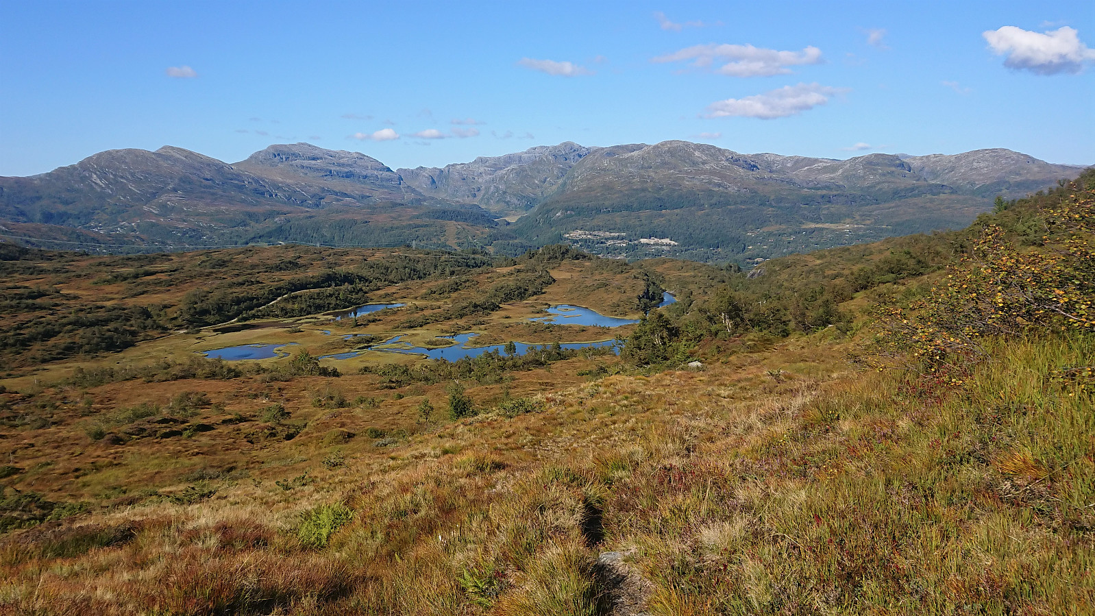
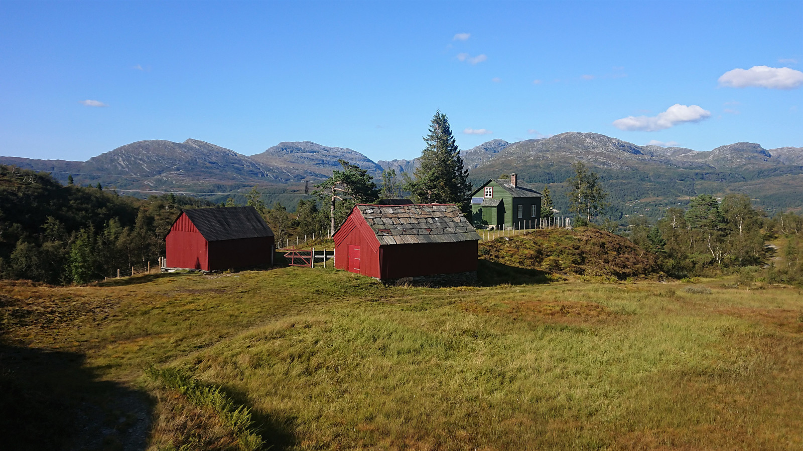
After crossing a couple of wet areas, which today were relatively dry, I arrived at the interesting location of Holsete, which is probably worth the extra detour if in the area to visit Haukåsfjellet. From Holsete, I followed the gravel road south to the marked trailhead for Haukåsfjellet, which I then easily follow all the way to the summit. The summit provided excellent views and a nice location for my late lunch break. Sadly, it would later turn out that my camera had not able to properly capture the excellent views as well as I had hoped, most likely due the location of the sun.
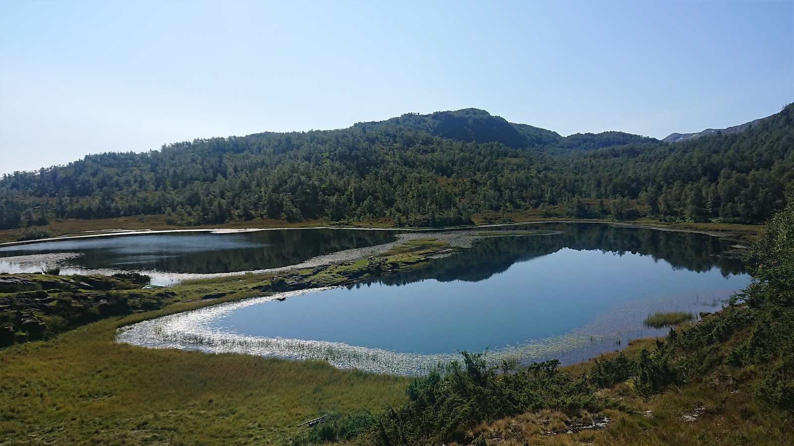
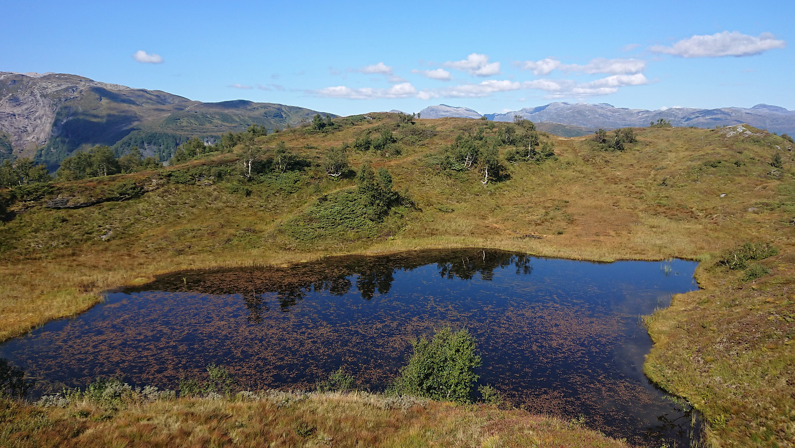
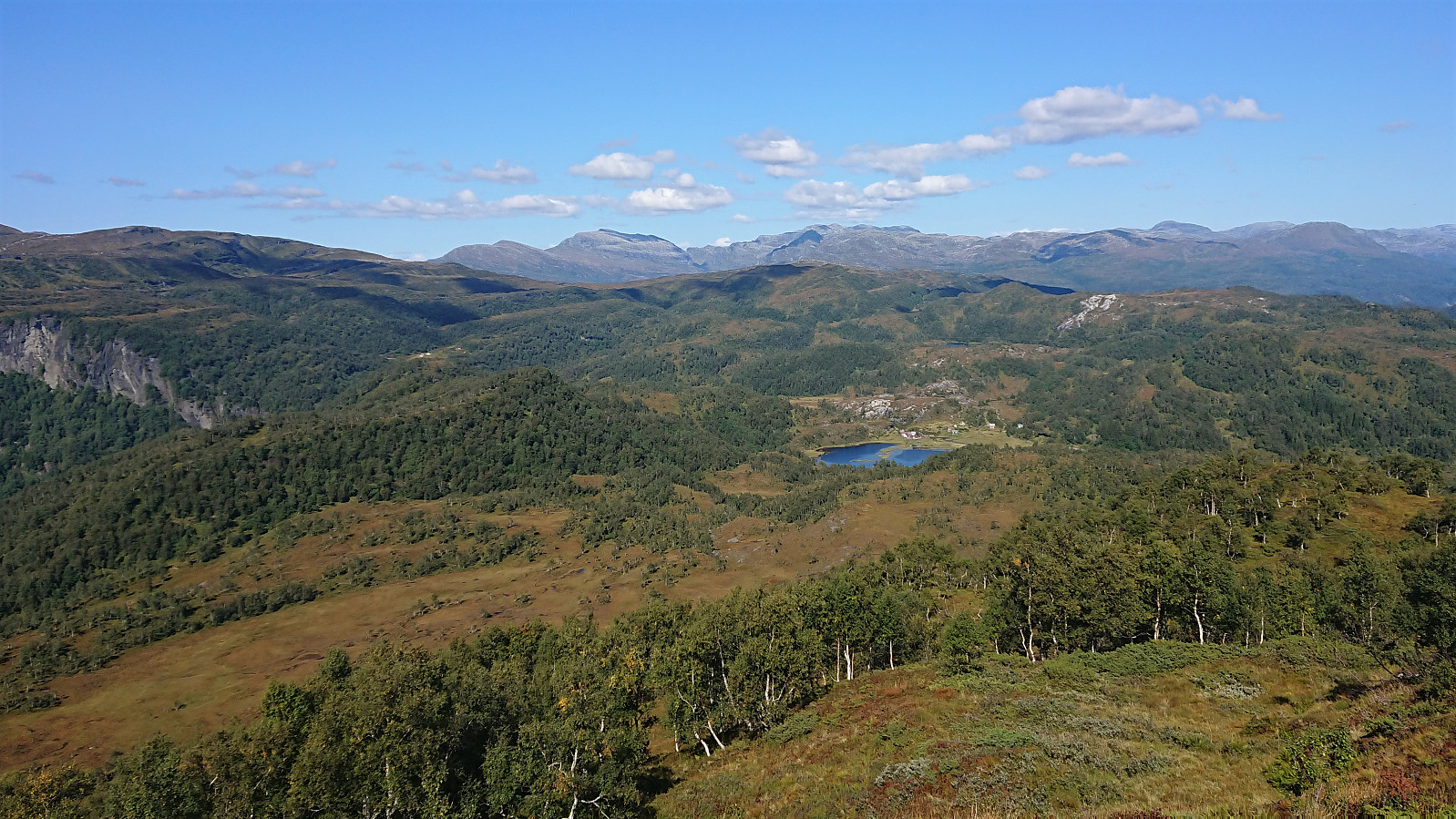
From the summit I descended along the same route, with the exception of a short detour to Storlinuten, which provided a nice overview of the remainder of my hike, i.e. the return to Tokagjelet, with both Holsete and Grønli visible in the distance. Not much more to say about the rest of the hike as it followed pretty much the same route, and also this time losing the trail north/northeast of Langavatnet. After a second short lunch break below Svartaberget, I returned to the bus stop at Tokagjelet with around ten minutes to spare before the bus arrived to take me back to Bergen, this time with a lot more free seats compared to earlier in the morning.
In summary, a visit of Haukåsfjellet with its excellent views can be very highly recommended! The route from Tokagjelet also has to be called a success, with most of the hike following trails, even if not always the most frequently used ones, and with only a short section north/northeast of Langavatnet in which trail disappeared completely. Most hikers will probably still go for the shorter and easier route from the south though.


| Start date | 28.08.2021 10:32 (UTC+01:00 DST) |
| End date | 28.08.2021 17:31 (UTC+01:00 DST) |
| Total Time | 6h 58min |
| Moving Time | 6h 14min |
| Stopped Time | 0h 44min |
| Overall Average | 3.4km/h |
| Moving Average | 3.8km/h |
| Distance | 23.8km |
| Vertical meters | 1,092m |

User comments
Nice hike!
Written by HHauser 30.08.2021 12:06Looks like a nice hike -- thank you for the report and the pictures!
Re: Nice hike!
Written by hbar 30.08.2021 17:19Thanks! Yes, I think you would like it. Not the best ratio of vertical meters/distances/time relative to the number of peaks visited though. ;)