Varden, Allestadhaugen and Hesjaholten (15.06.2021)

| Start point | Sandeide terminal (7m) |
|---|---|
| Endpoint | Hesjaholten (45m) |
| Characteristic | Hillwalk |
| Duration | 1h 39min |
| Distance | 5.0km |
| Vertical meters | 236m |
| GPS |
|
| Ascents | Allestadhaugen (78m) | 15.06.2021 |
|---|---|---|
| Hesjaholten (106m) | 15.06.2021 | |
| Varden (62m) | 15.06.2021 | |
| Visits of other PBEs | Øst for Elvareidet (60m) | 15.06.2021 |
Varden, Allestadfjellet and Hesjaholten
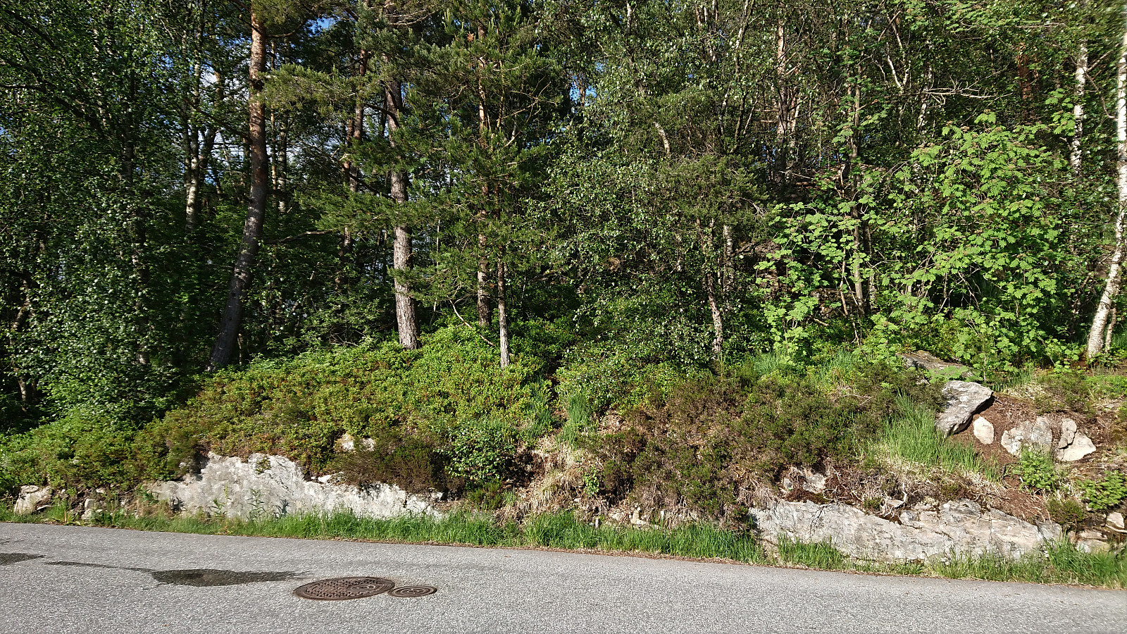
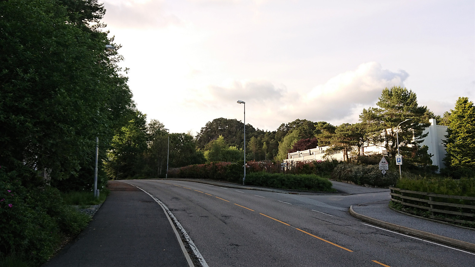
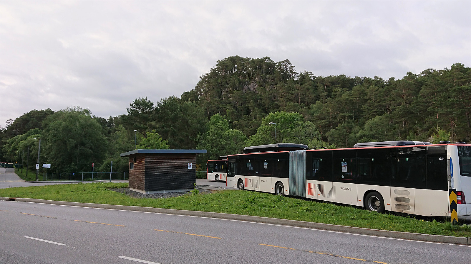
Short evening hike to visit three minor peaks on the Alle topper i Bergen list. I started by taking the bus to Sandeide terminal, from where I first walked along the roads towards the summit of Varden. Reaching the summit itself only required a minor detour from the road, partly along a weak trail, but as the summit is almost in someone’s backyard, and provides no views at all, a visit cannot really be recommended.
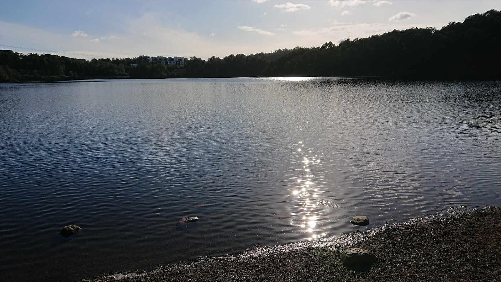
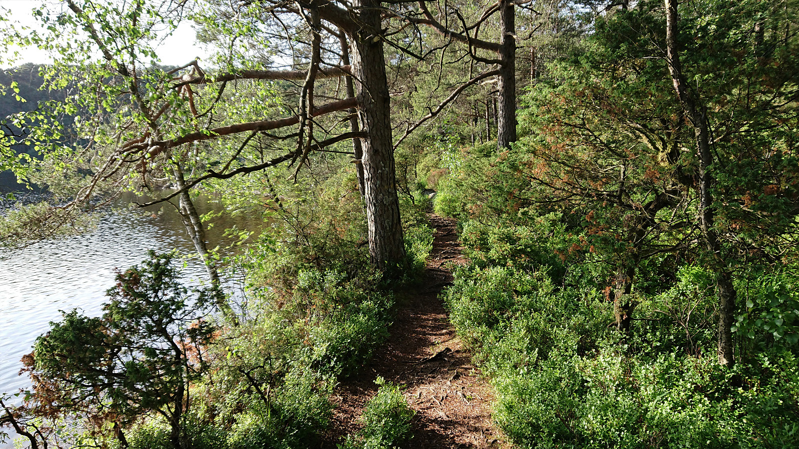
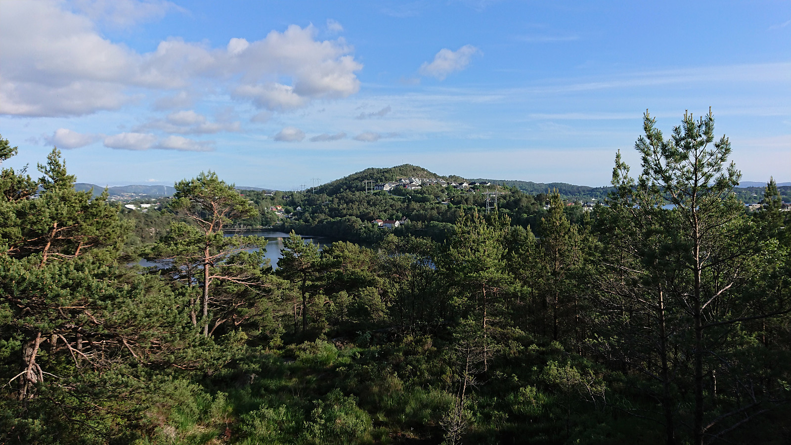
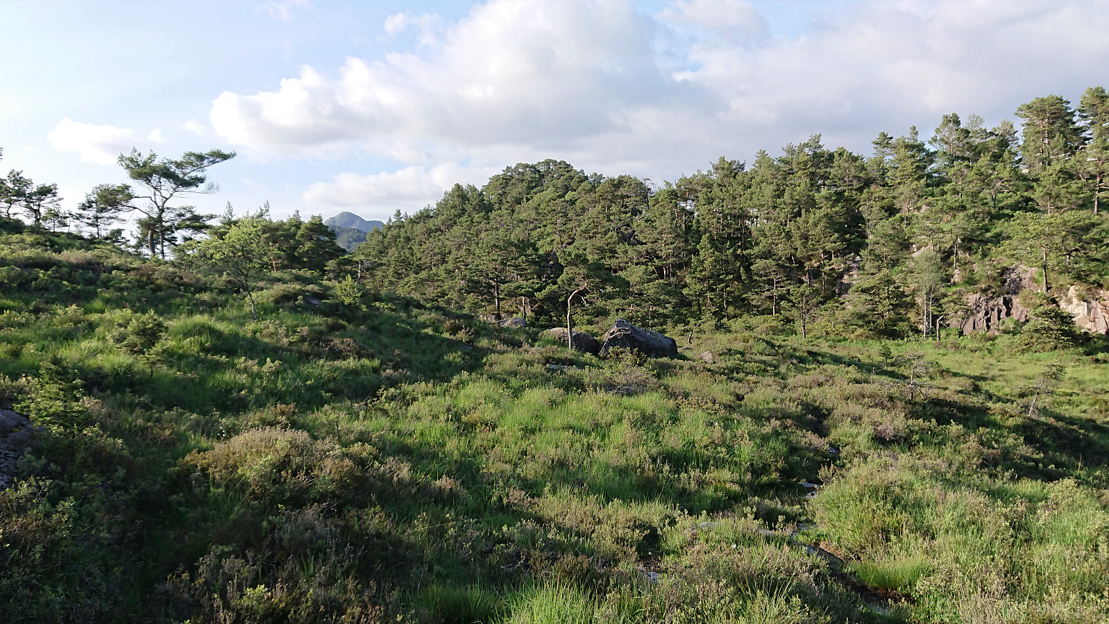
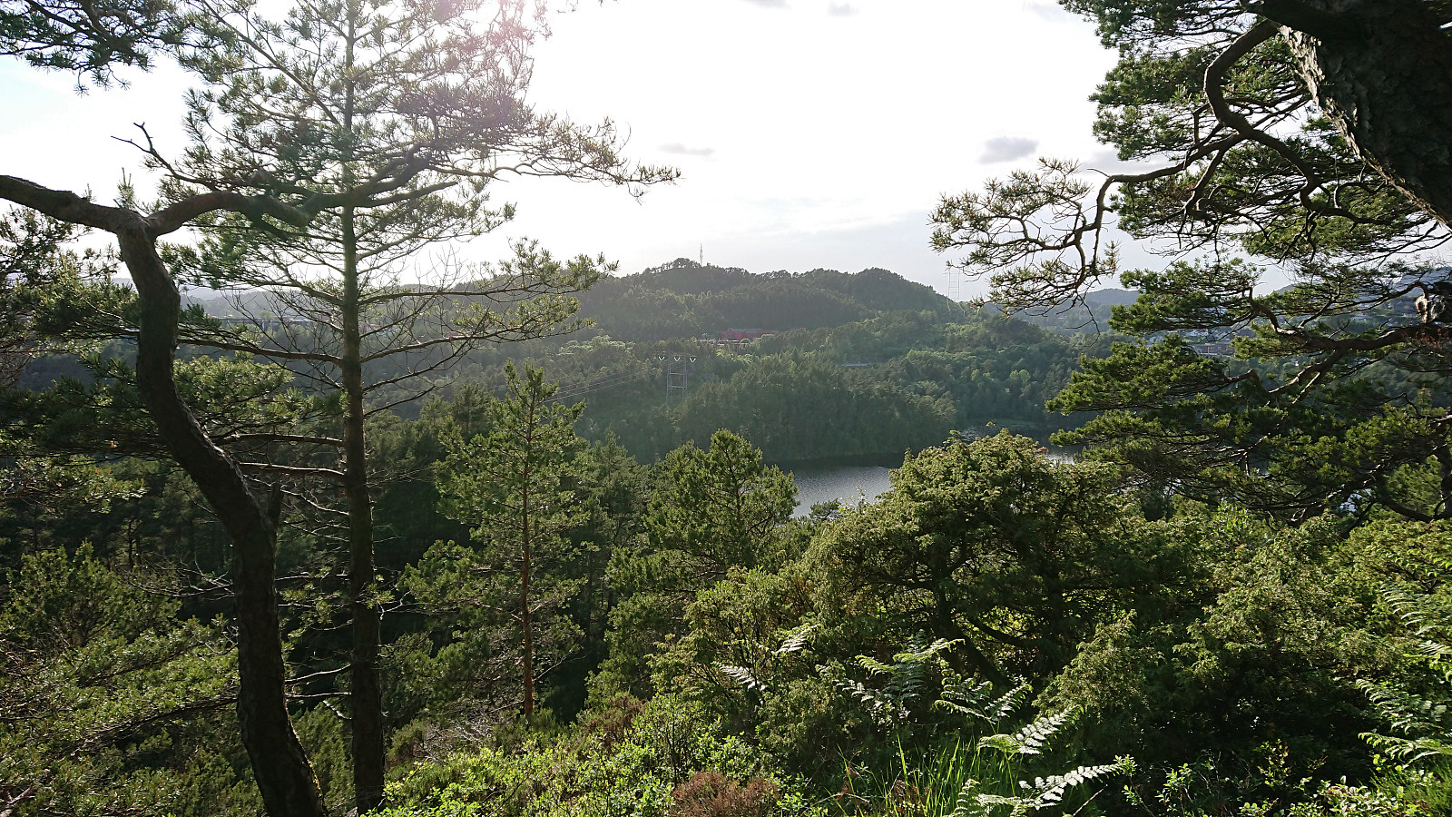
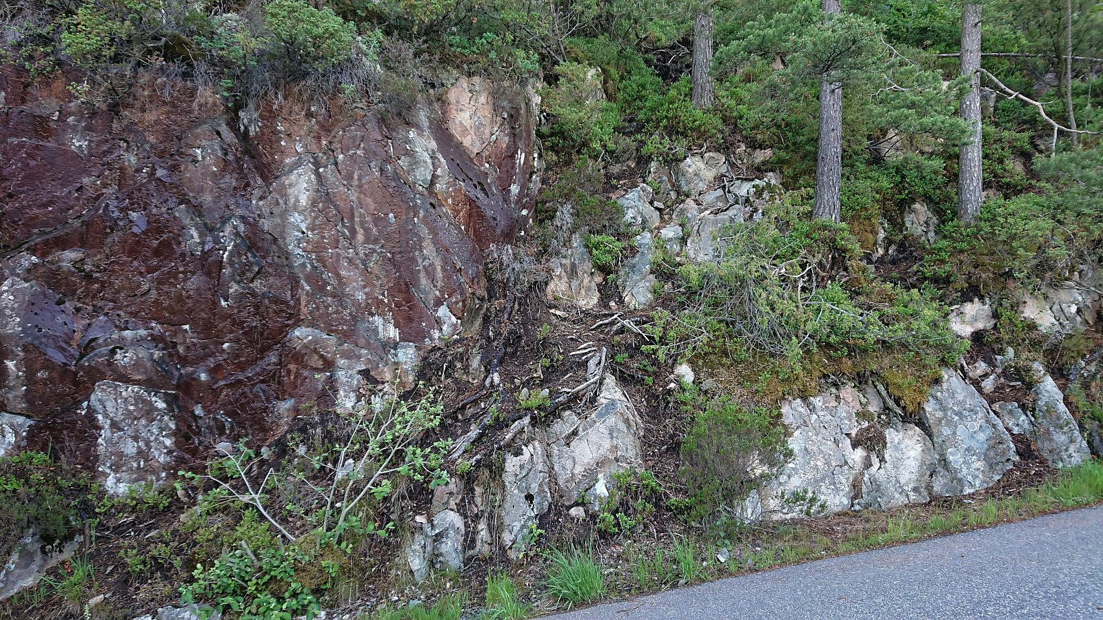
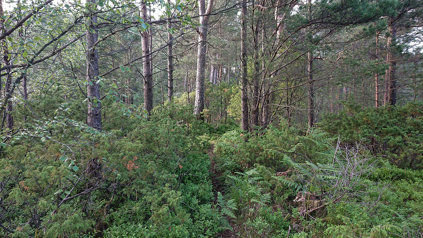
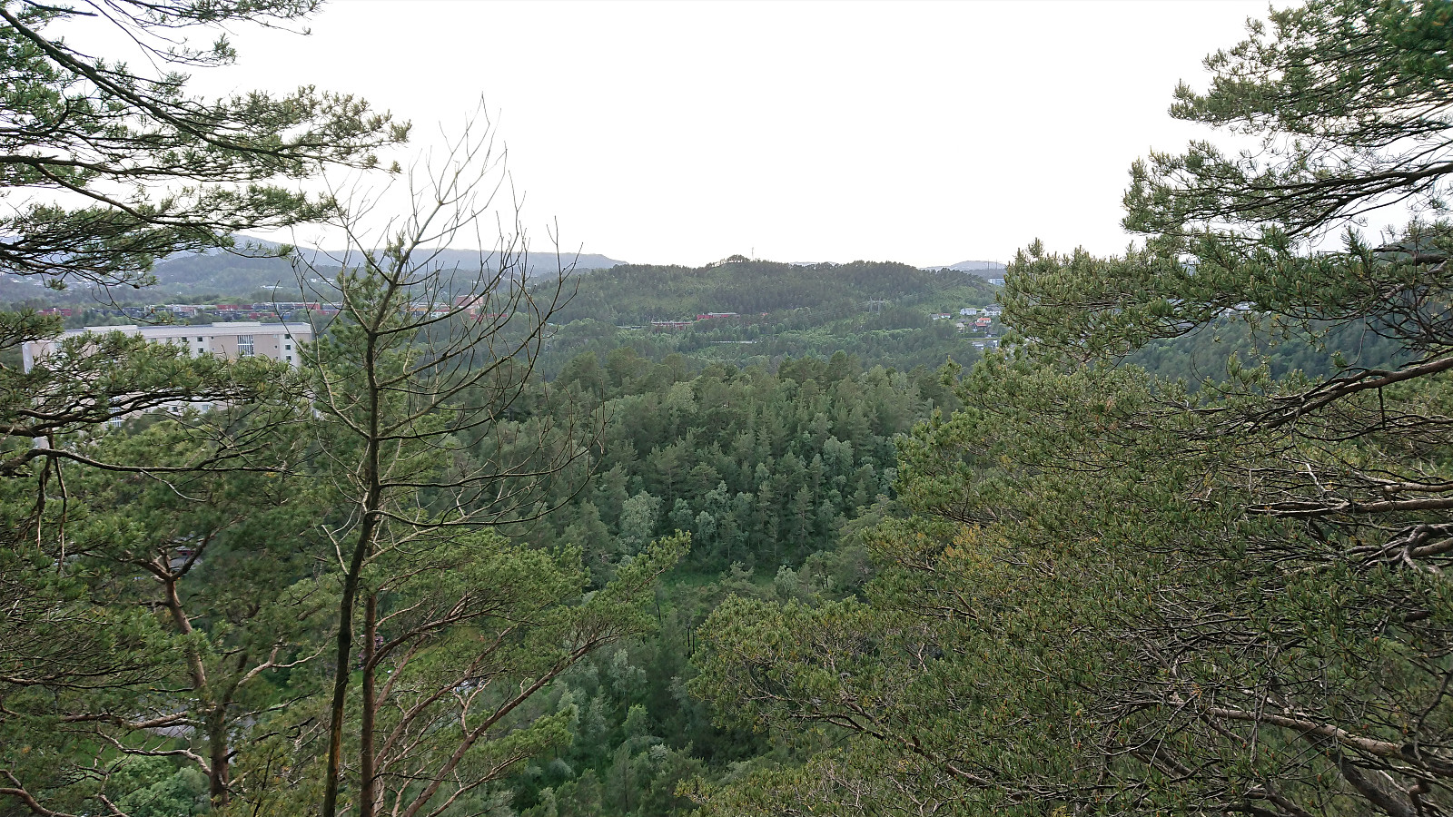
With what I hoped would be the worst part of the hike out of the way, I returned to the road and easily located the unmarked trail taking me down and alongside Gjeddevatnet, the clear highlight of the hike. The trail continued towards Allestadhaugen, but gradually got weaker and pretty much disappeared when I got close to the summit (I even lost the trail when crossing a wet area earlier on as well). Limited views from the summit, although both Straumsfjellet and Pyttane (among others) could be spotted in between the trees. While there had been wet areas when approaching Allestadhaugen, this would increase significantly when I next tried to get back to the paved roads. In the end, I came across an ok trail, but how to connect this trailhead with the trail to/from Allestadfjellet, and thus avoid the wet areas, is unclear to me.
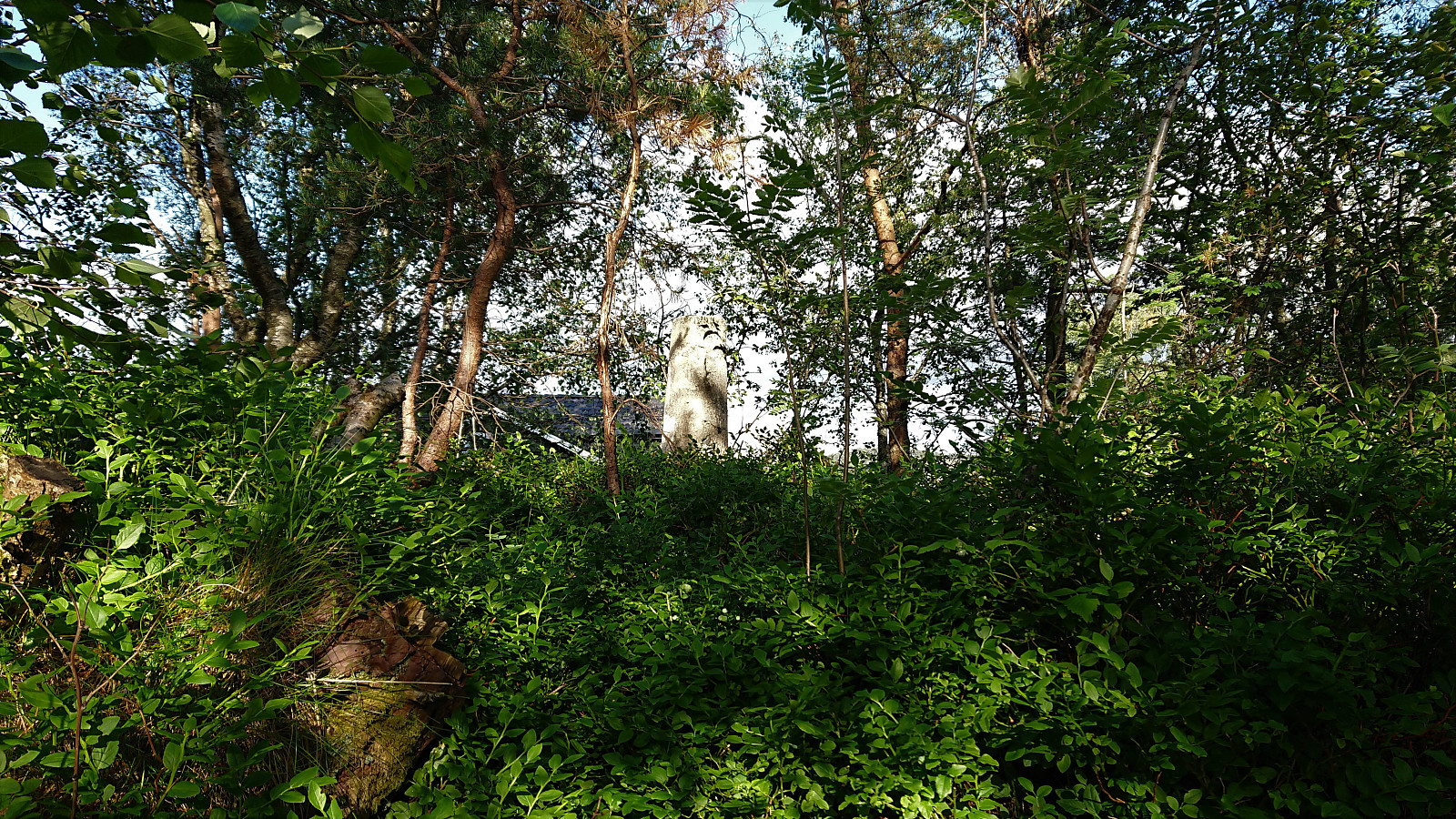
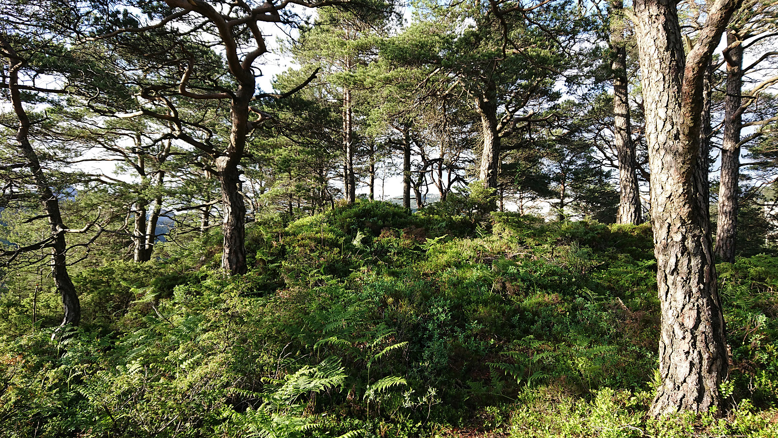
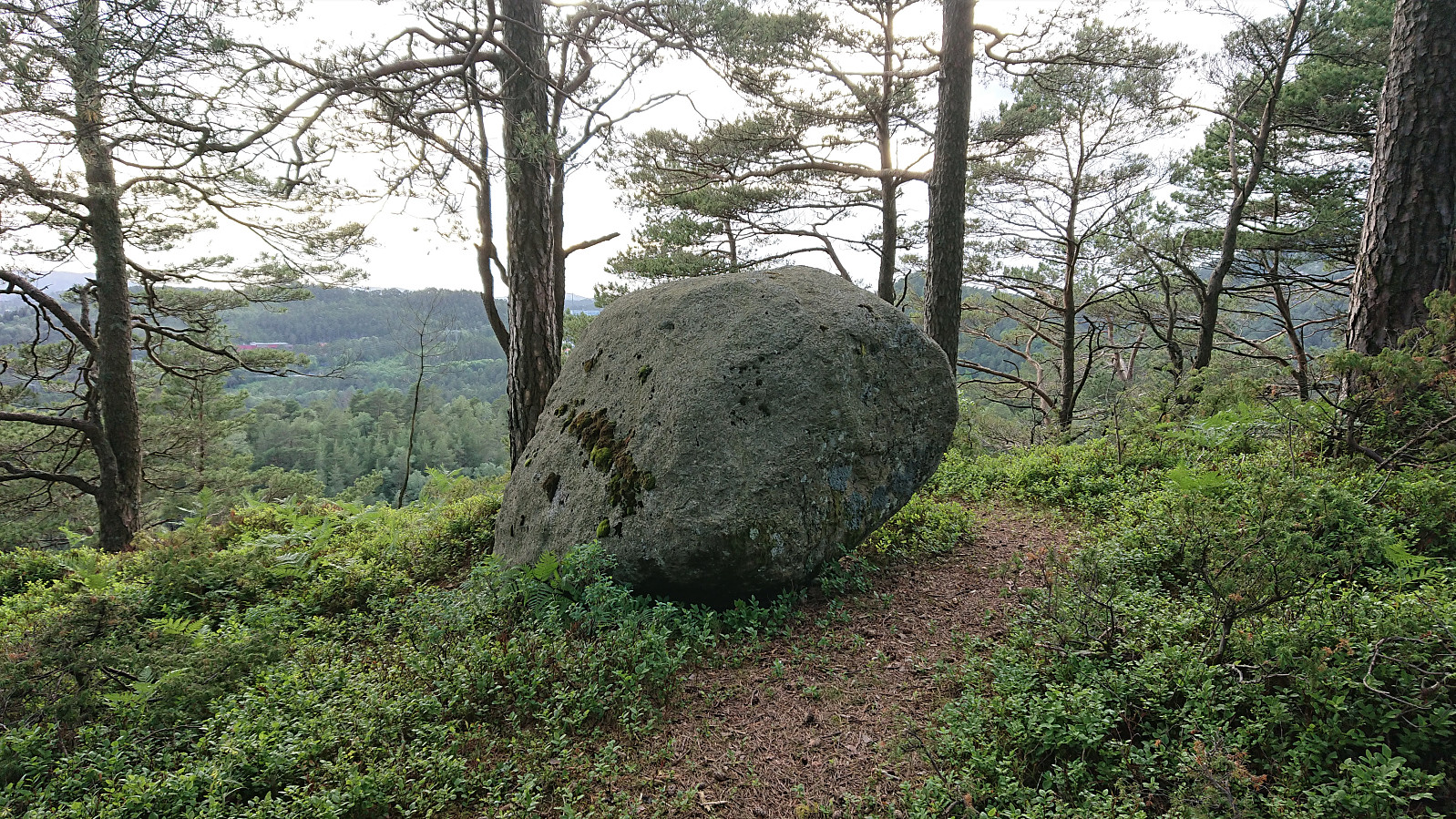
Finally, it was time to visit Hesjaholten. This was achieved by walking along the roads until getting to a steep unmarked trail/track east of the summit, which I probably would have missed if I had not read about in earlier trip reports for Hesjaholten. The trail later levelled off and from there on it was easy to follow. Rather limited views from the summit due to all the trees, with the most prominent feature being a large rock marking the highest point. I descended along the same route and concluded the hike by walking to the closest bus stop.
In summary, with the exception of the nice walk along Gjeddevatnet, this hike can really only be recommended to those collecting the Alle topper i Bergen list.
| Start date | 15.06.2021 18:57 (UTC+01:00 DST) |
| End date | 15.06.2021 20:36 (UTC+01:00 DST) |
| Total Time | 1h 39min |
| Moving Time | 1h 30min |
| Stopped Time | 0h 9min |
| Overall Average | 3.0km/h |
| Moving Average | 3.3km/h |
| Distance | 5.0km |
| Vertical meters | 236m |

User comments