Cycling: Mindebakkentoppen (28.04.2021)

| Startsted | Lønborg (55moh) |
|---|---|
| Sluttsted | Lønborg (56moh) |
| Turtype | Blandet sykling |
| Turlengde | 2t 39min |
| Distanse | 29,0km |
| Høydemeter | 634m |
| GPS |
|
| Bestigninger | Mindebakkentoppen (283moh) | 28.04.2021 |
|---|---|---|
| Andre besøkte PBE'er | Løvstien Sør (115moh) | 28.04.2021 |
| Nygårdsbroene (5moh) | 28.04.2021 |
Cycling: Mindebakkentoppen
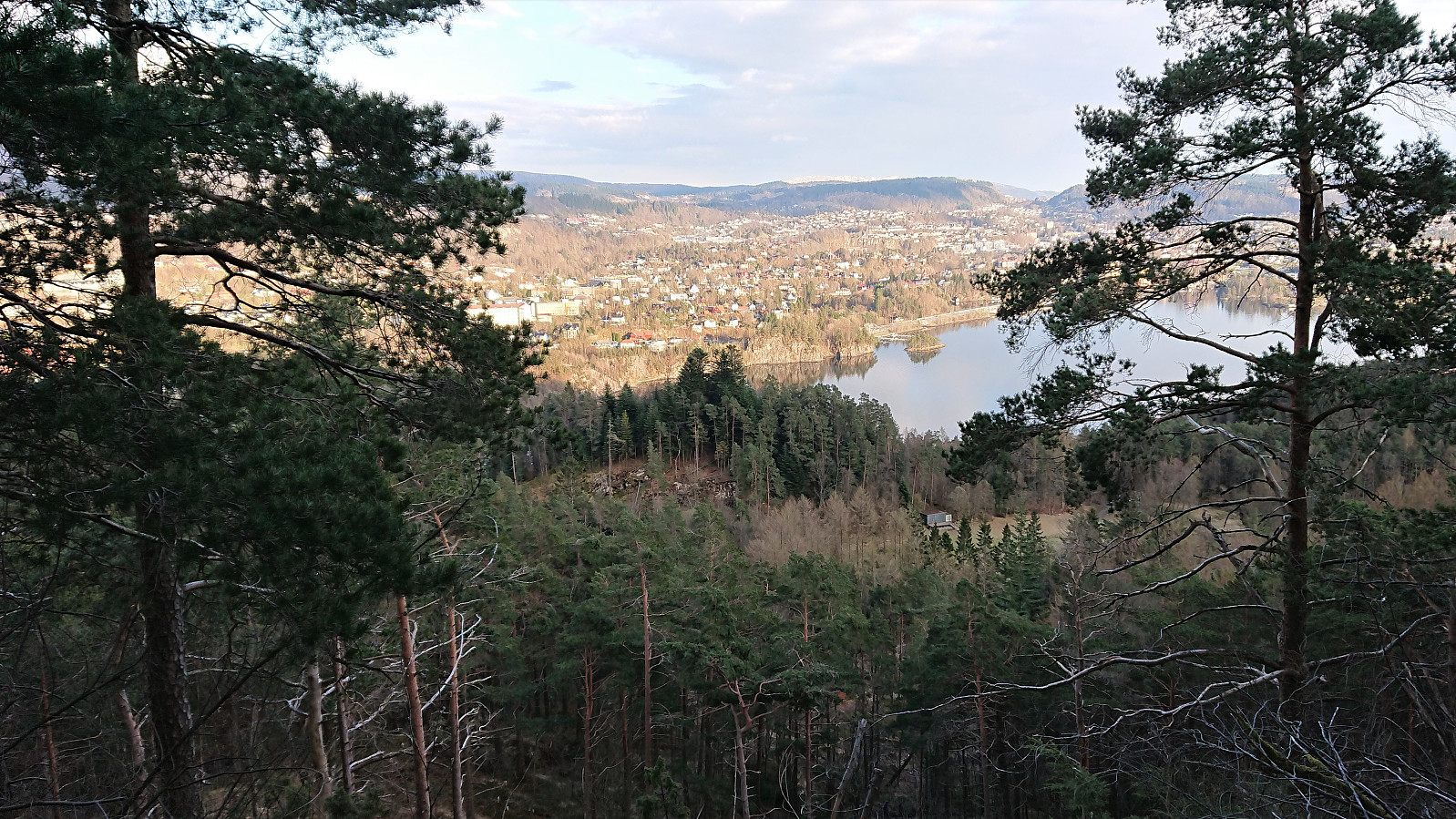
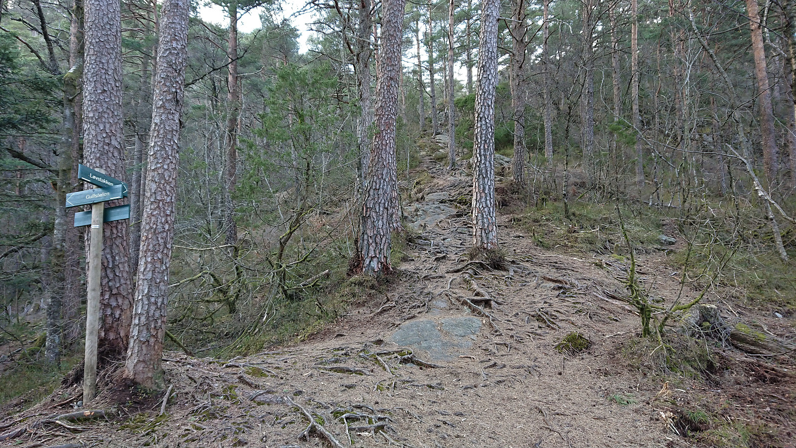
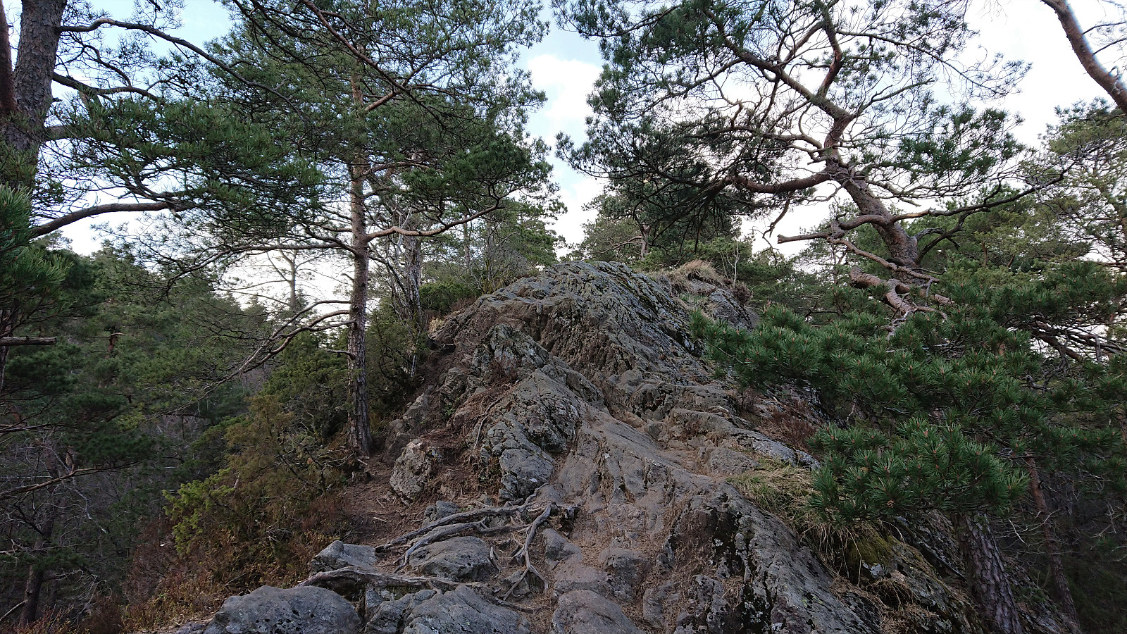
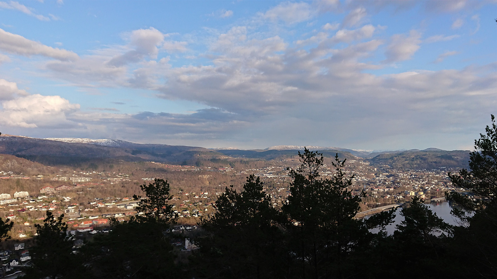
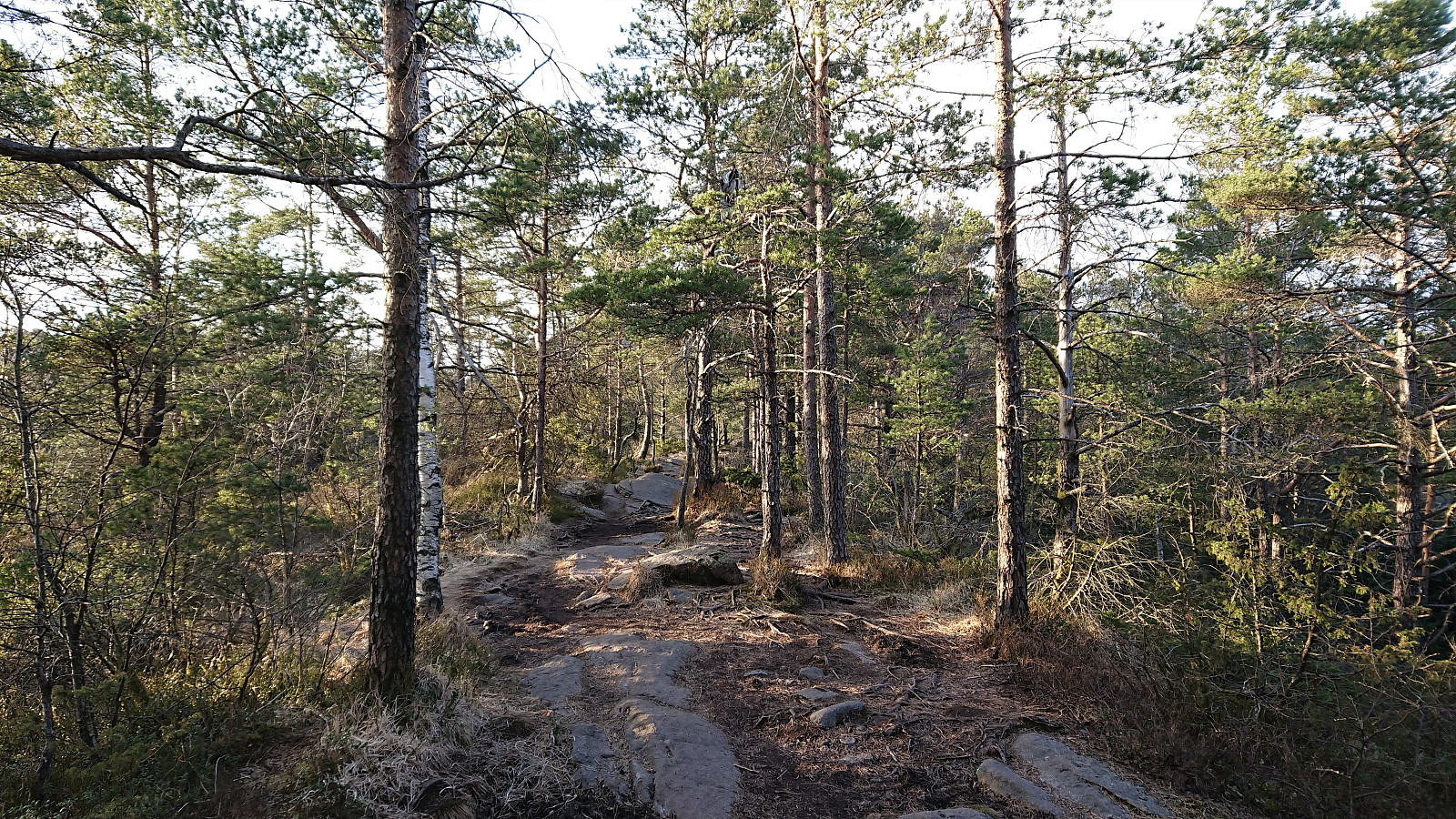
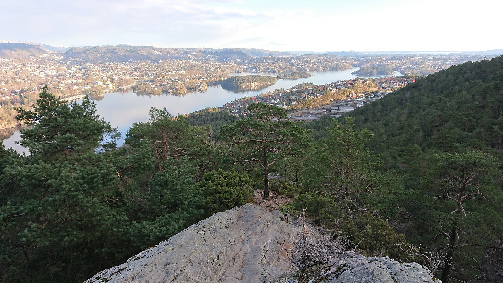
Evening cycling and hiking trip for a visit of Mindebakkentoppen. I left the bike behind at the bend in Løvstien north of Lisahaugen, from where I continued on foot along a very enjoyable trail marked for Løvstakken. The trail followed a relatively narrow pine-covered ridge which at times even requiring a bit of very light scrambling.
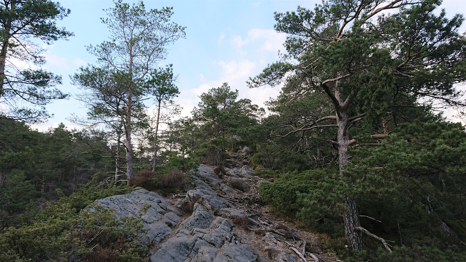
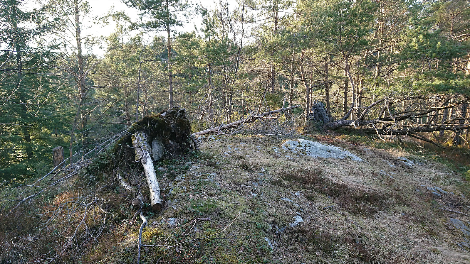
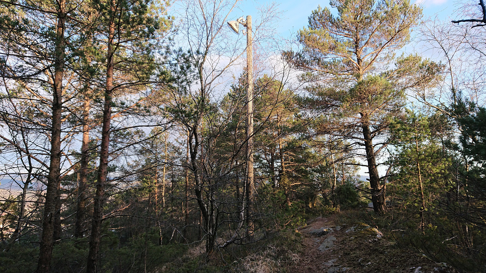
Shortly after passing Langatjørna, I turned east towards the summit. First along a weak trail, and later in a more direct route requiring light scrambling. Not sure if I lost the trail or if the scrambling was indeed part of the trail. At the summit ridge there was however a very clear north-south trail, indicating that my ascent route is probably not the most common option. (More on the history of Mindebakken can be found here and here.)
After a quick visit to the summit, which provided very limited views, I followed the trail south, but when it turned east, I instead continued south along a much weaker trail that soon reconnected with the trail I had used on the ascent. In other words, if you want to avoid the scrambling, simply follow my descent route also when ascending. The trip was concluded by returning to my bike and then cycling home. Overall, a surprisingly enjoyable short hike that can be highly recommended!

| Starttidspunkt | 28.04.2021 18:44 (UTC+01:00 ST) |
| Sluttidspunkt | 28.04.2021 21:23 (UTC+01:00 ST) |
| Totaltid | 2t 39min |
| Bevegelsestid | 2t 36min |
| Pausetid | 0t 3min |
| Snittfart totalt | 10,9km/t |
| Snittfart bevegelsestid | 11,1km/t |
| Distanse | 29,0km |
| Høydemeter | 633m |

Kommentarer