Arna to Lønborg (21.03.2021)

| Startpunkt | Ytre Arna-vegen (21m) |
|---|---|
| Endpunkt | Lønborg (57m) |
| Tourcharakter | Bergtour |
| Tourlänge | 6h 02min |
| Entfernung | 20,1km |
| Höhenmeter | 1.217m |
| GPS |
|
| Besteigungen | Bjørndalssåta (578m) | 21.03.2021 |
|---|---|---|
| Fabiansvarden (186m) | 21.03.2021 | |
| Merkeshaugen (232m) | 21.03.2021 | |
| Mjeldheimssåta (244m) | 21.03.2021 | |
| Stikka (258m) | 21.03.2021 | |
| Vårheia (211m) | 21.03.2021 | |
| Besuche anderer PBE | Hellegrind (199m) | 21.03.2021 |
| Jordalsveien p-lomme (40m) | 21.03.2021 | |
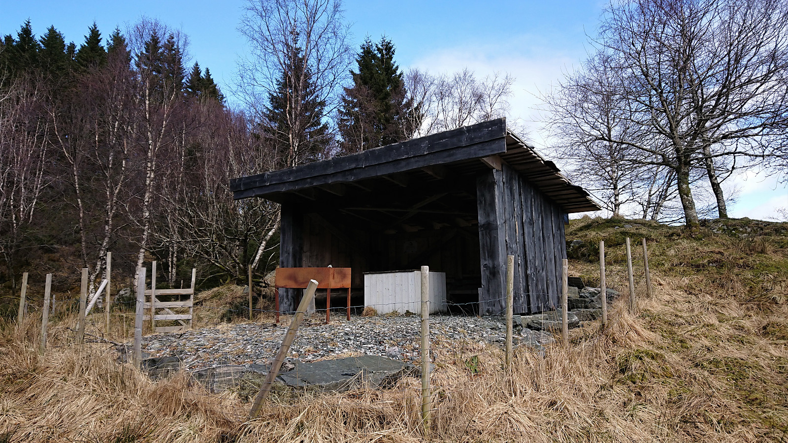
| Gapahuk Kvamme Gard (293m) | 21.03.2021 | |
| Kvamsvegen p-plass (190m) | 21.03.2021 | |
| Ishuset ved Langevatnet (127m) | 21.03.2021 | |
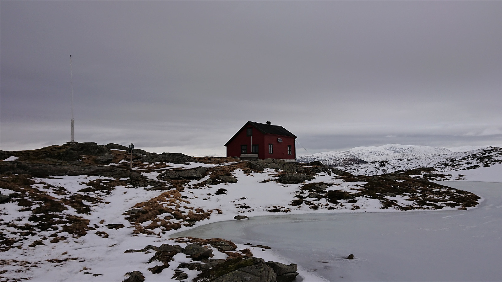
| Norhytten (517m) | 21.03.2021 | |
| Snorre (ruin) (411m) | 21.03.2021 | |
| Vikinghytten (586m) | 21.03.2021 |
Arna to Lønborg
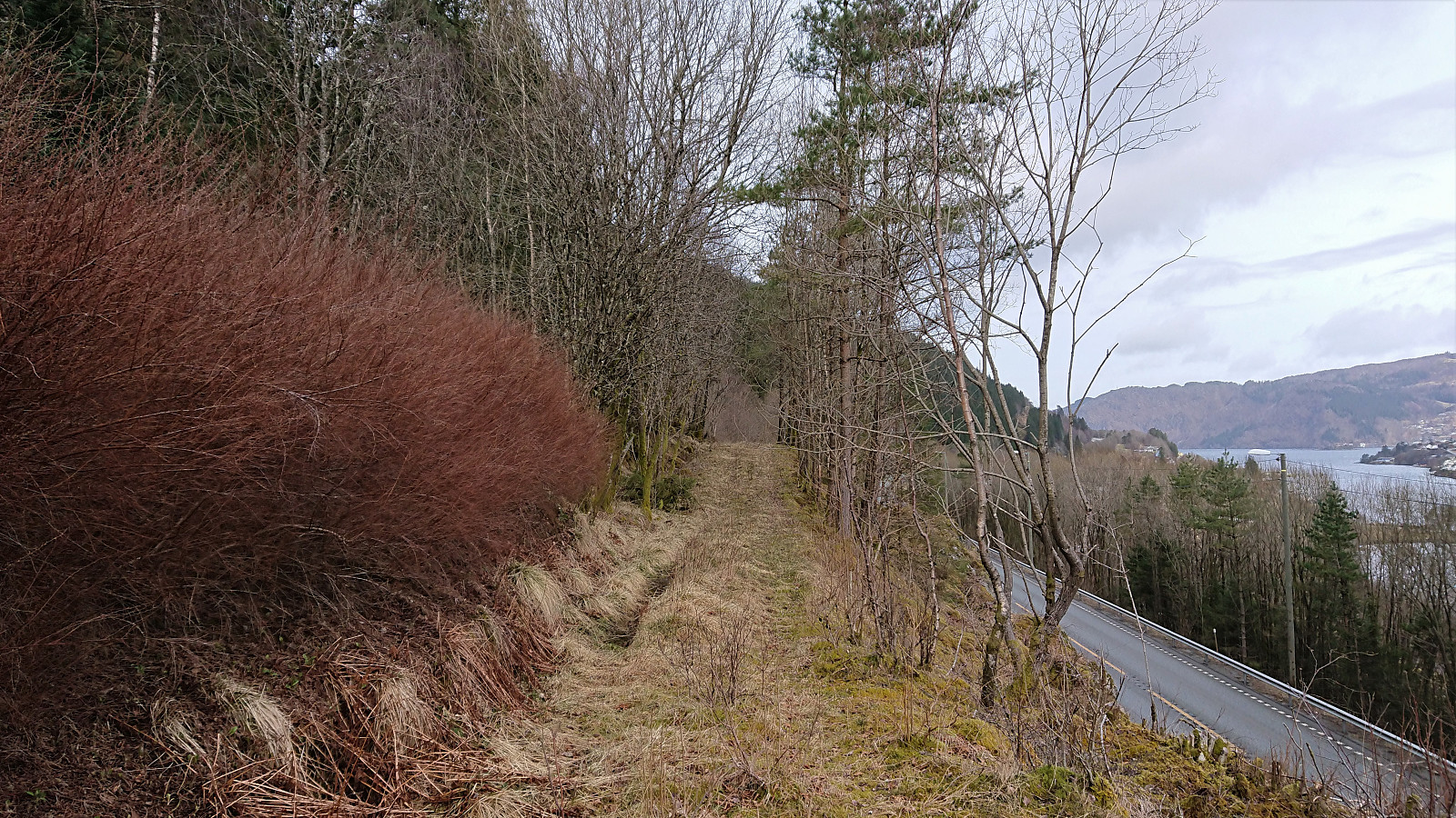
I started by taking the bus to Arna and getting off at the bus stop called Hammaren. From there I shortly followed a paved road before switching to an old tractor road heading north and then southwest to circumvent a house. It turned out that this short detour was not necessary though as there was also a shortcut just to the south of the house.
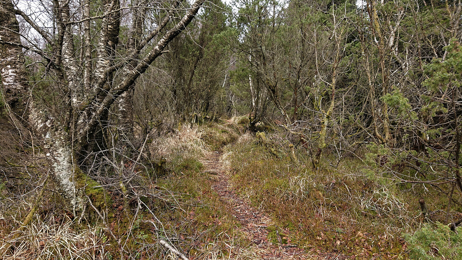
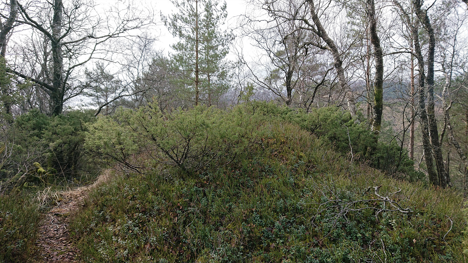
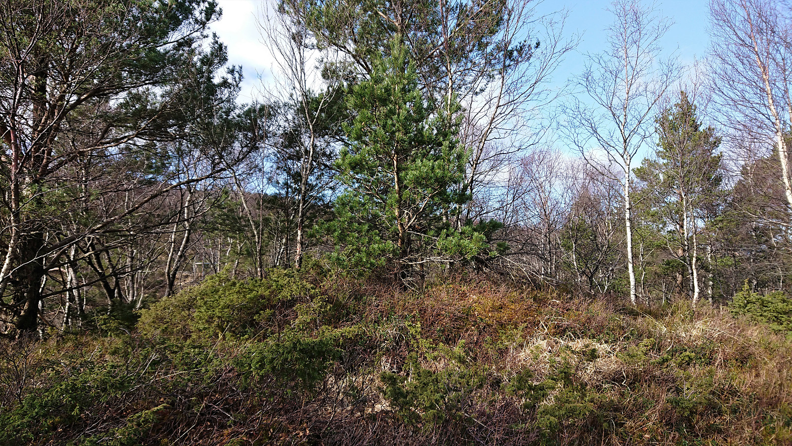
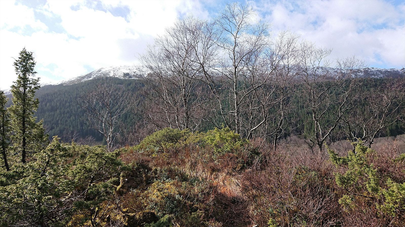
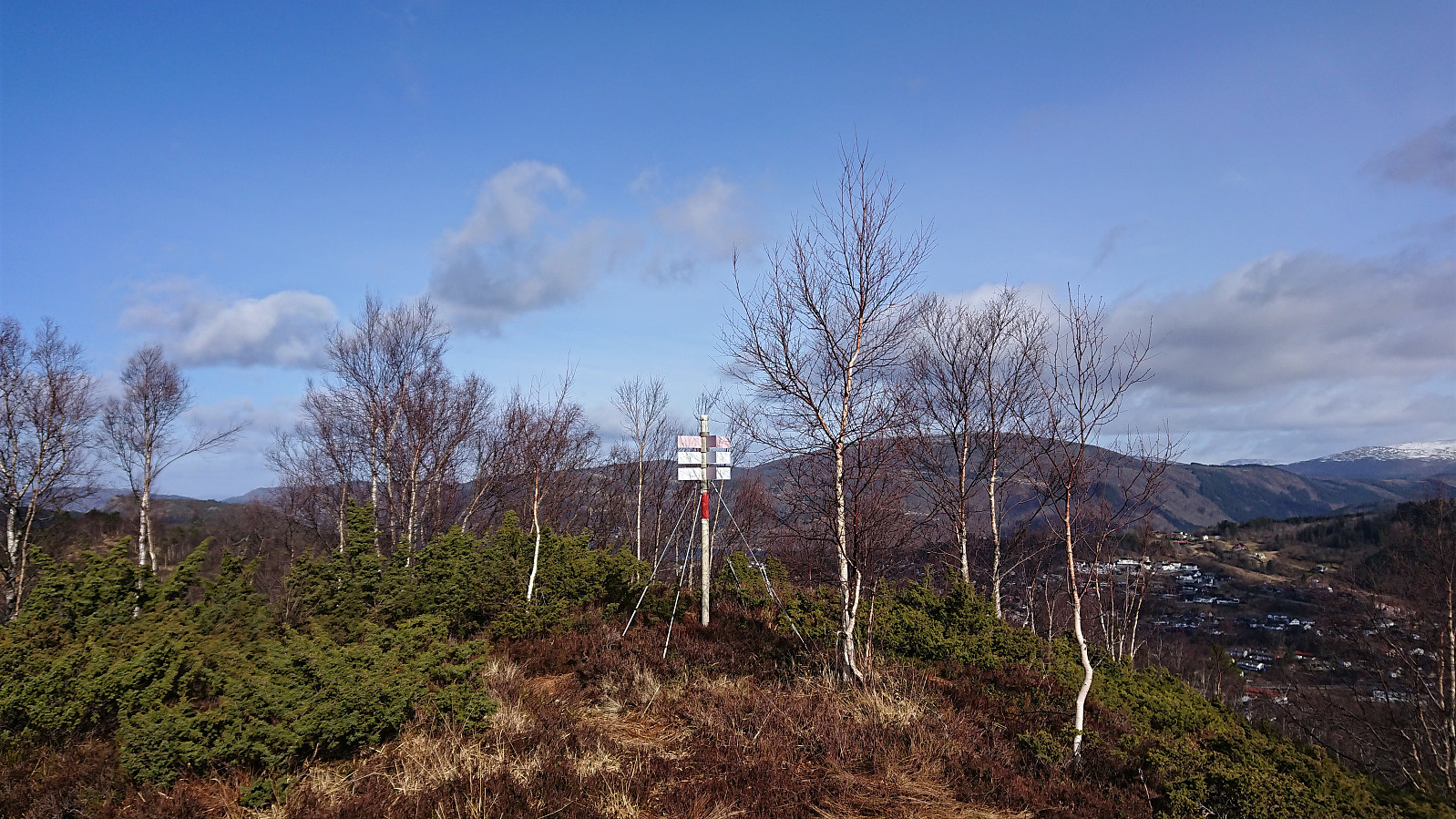
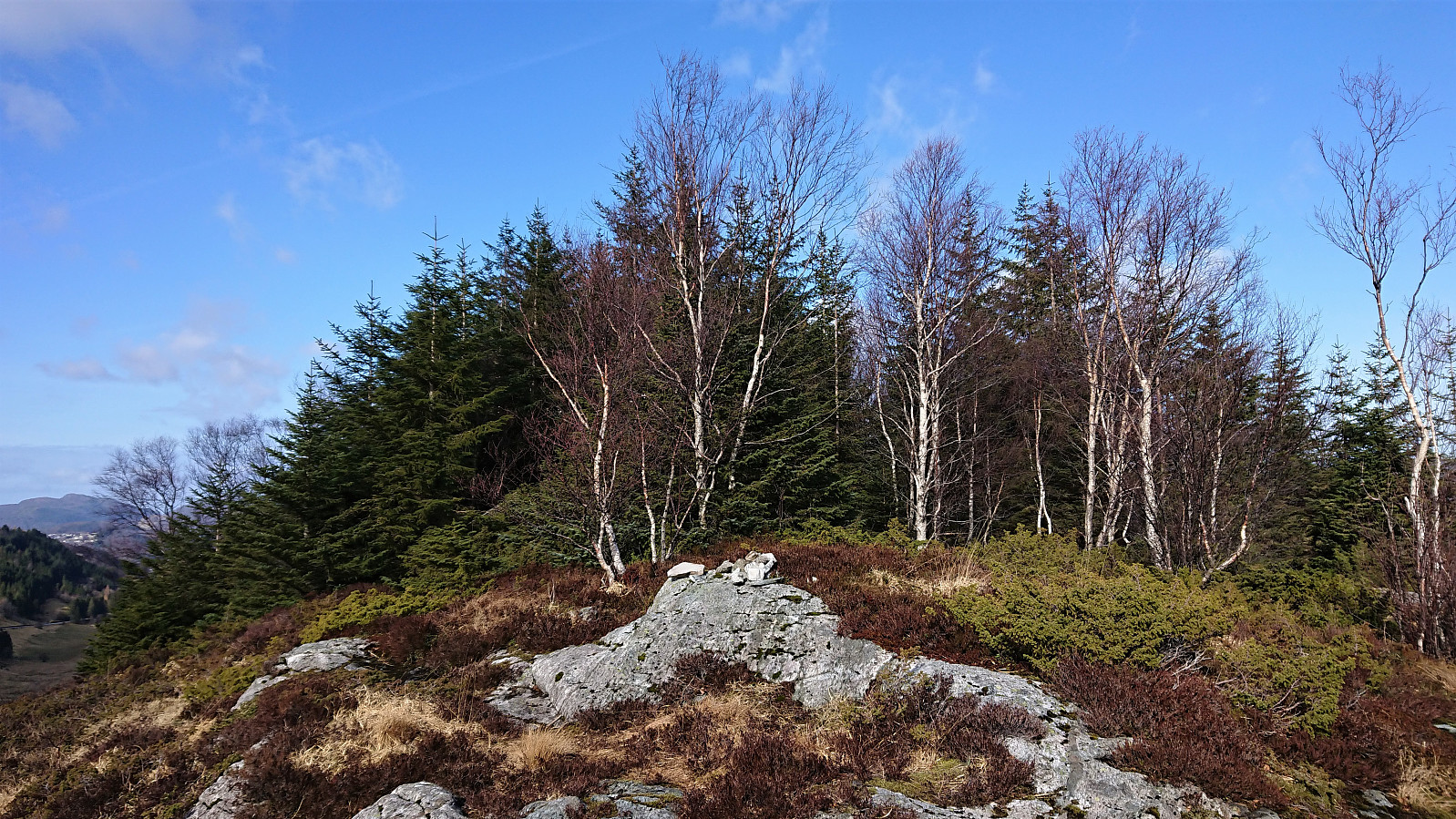
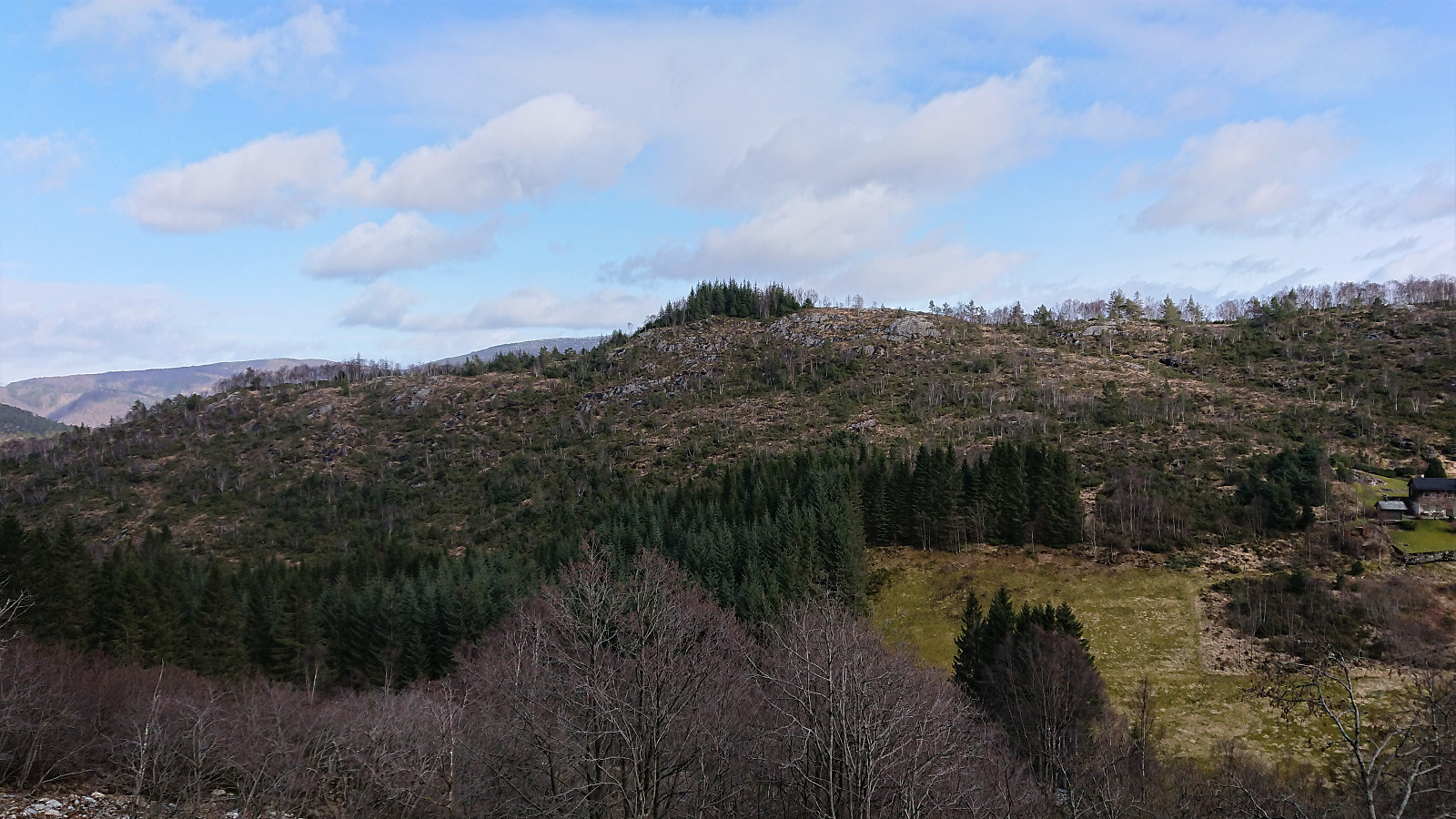
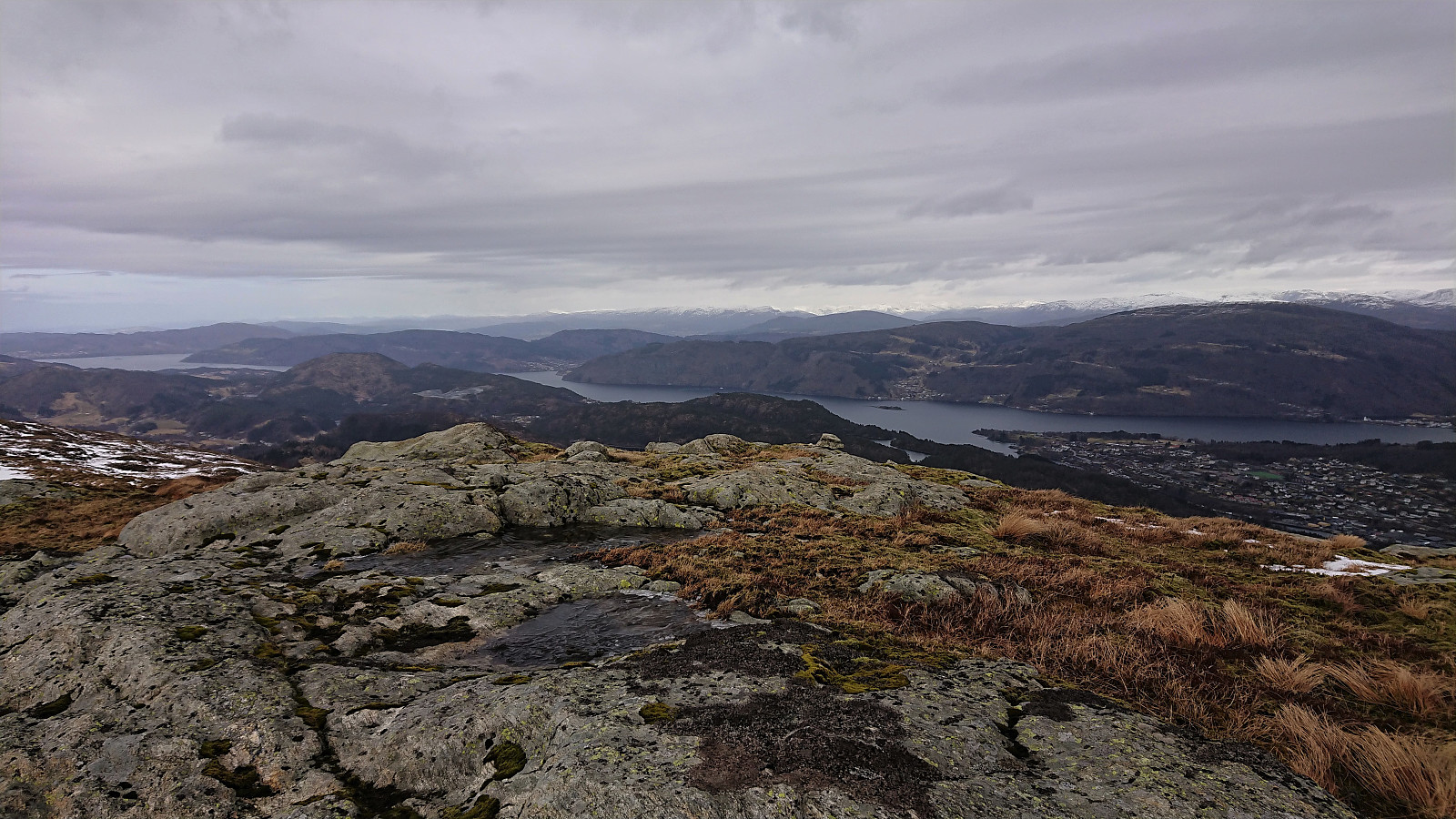
The tractor road quickly turned into a nice unmarked trail that I could easily follow all the way to Fabiansvarden. Which, despite its name, did not include any cairn that I could find. The views were also rather limited and I therefore did not stay long before making a large U-turn on my way south towards Merkeshaugen, soon even on a marked trail. No markers on the summit itself, but there was a small single-rock cairn south of the summit, which is maybe where the name comes from?
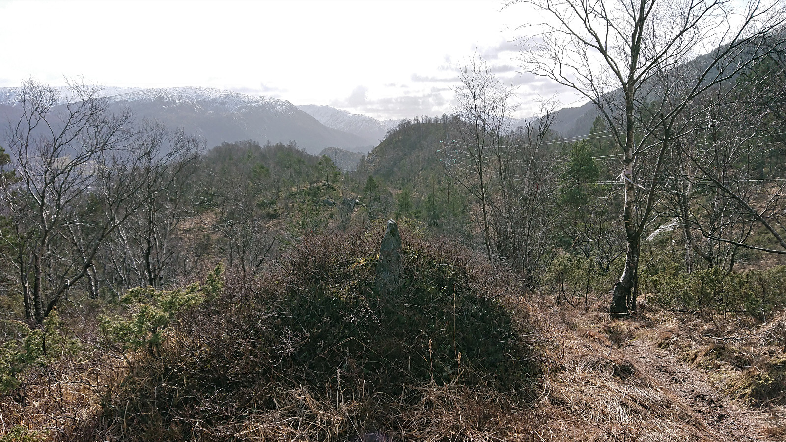
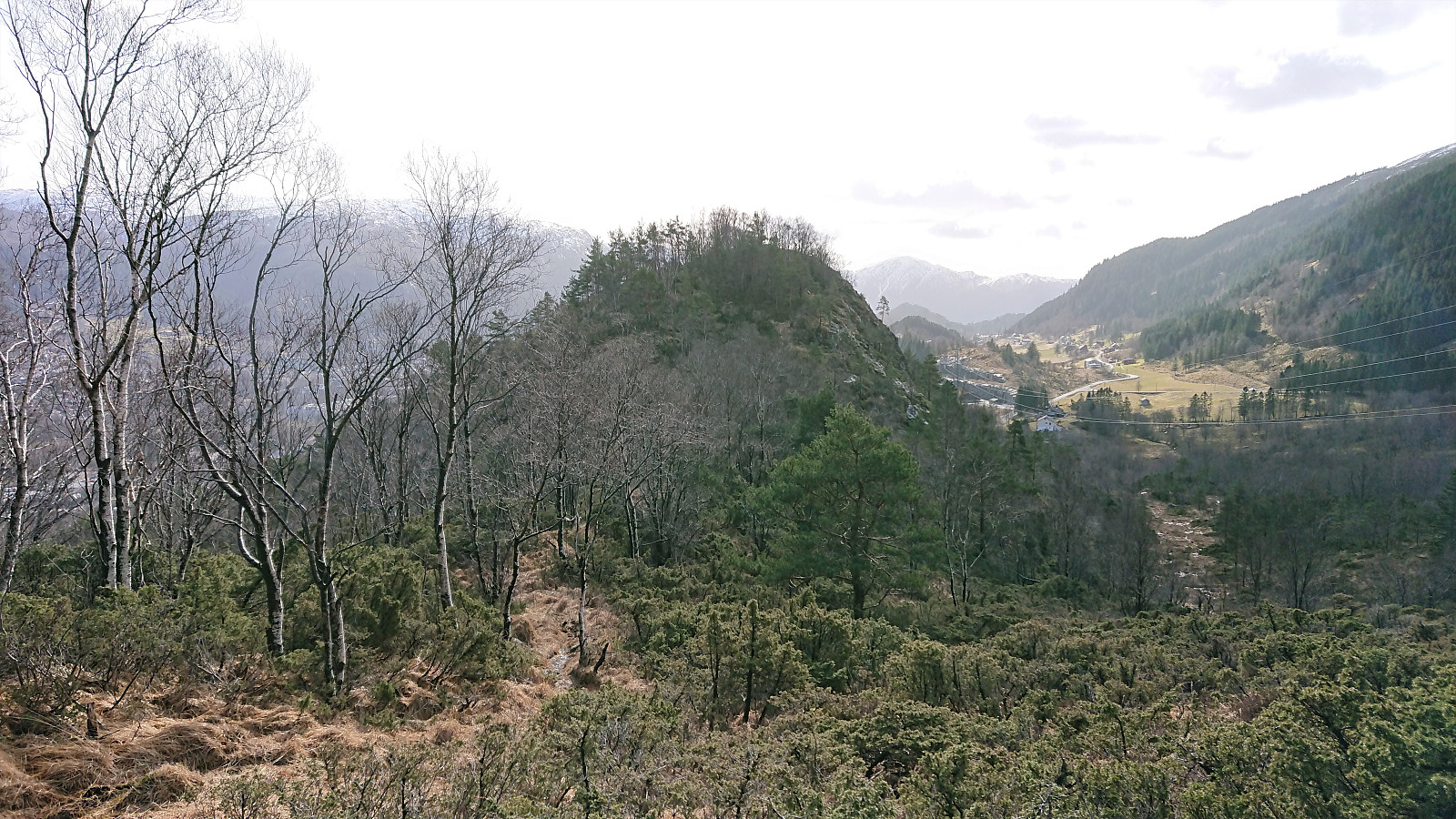
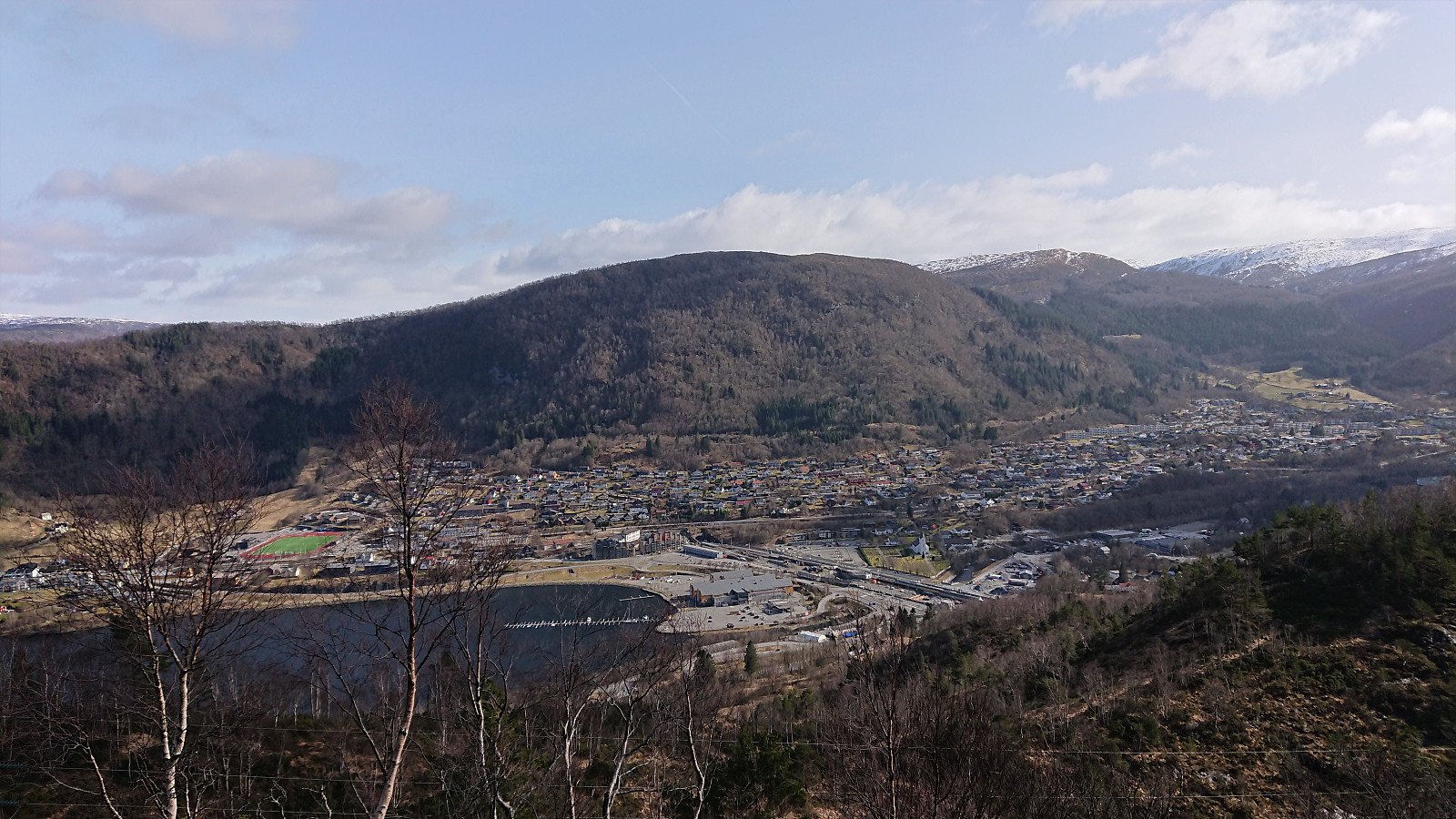
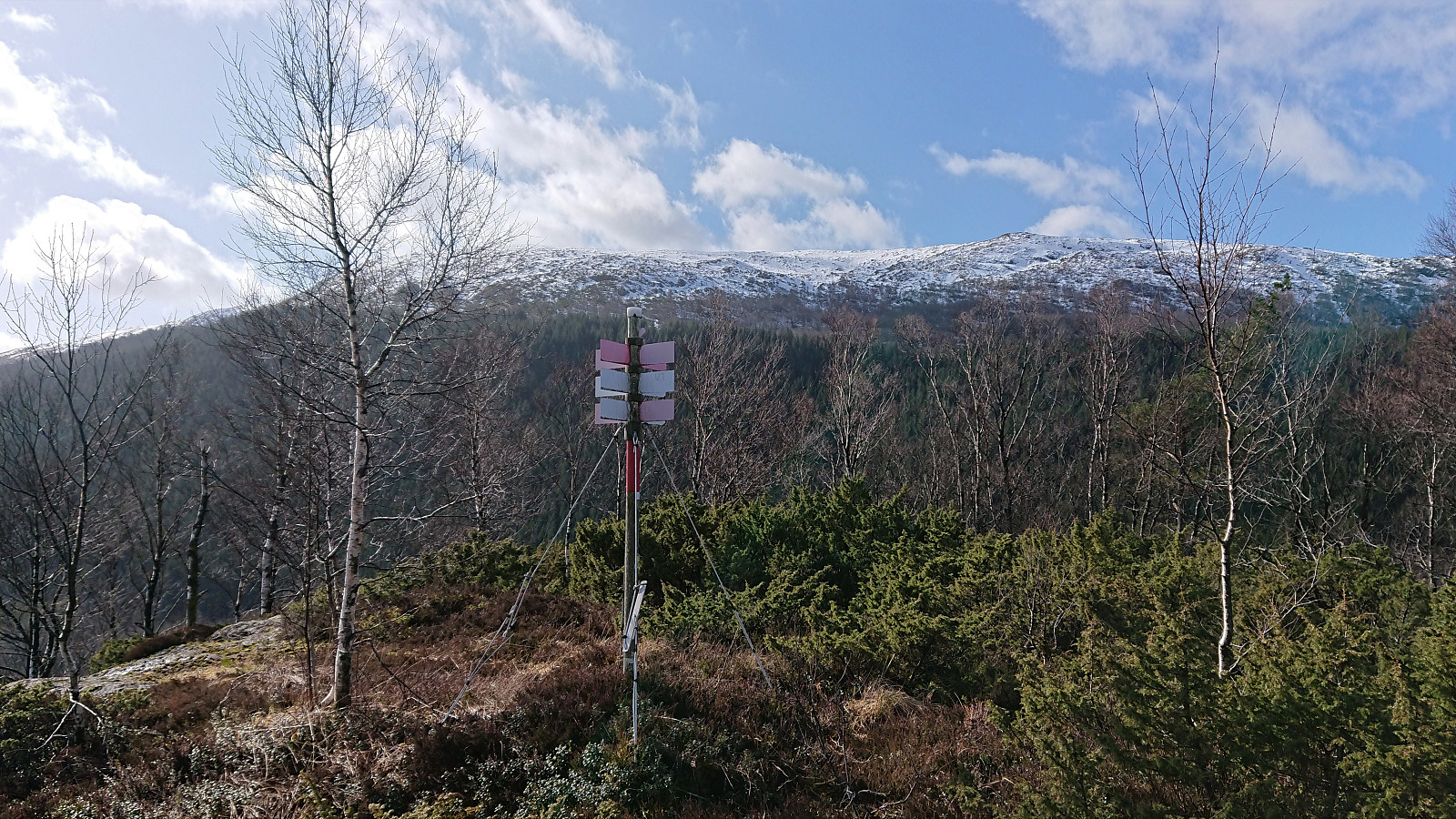
I continued south/southeast along the trail to Vårheia, which provided nice views, mainly to the south. After the usual summit pictures, I again turned north and headed for Mjeldheimssåta. In order to avoid a larger detour, I here left the trail and simply made my own way towards the summit. And while this did require some minor fighting with the low bushes, the summit was reached without any real issues. Mjeldheimssåta provided great views and even had its own trig marker.
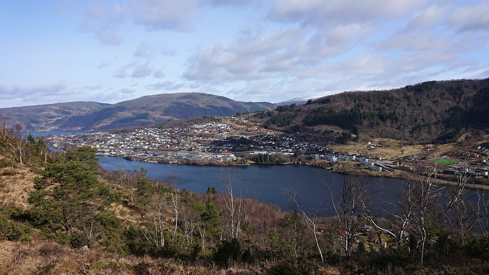
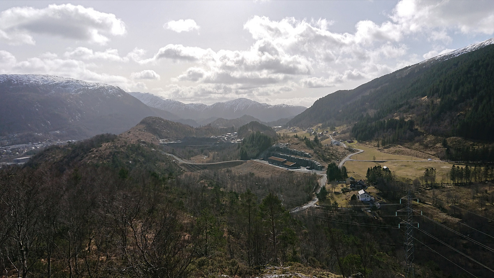
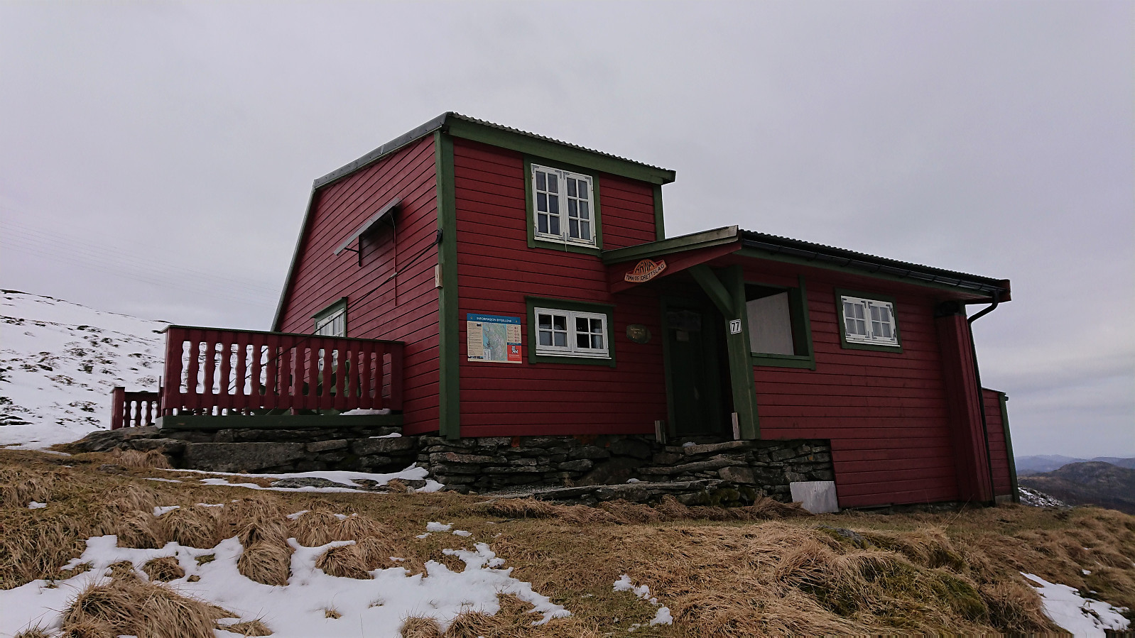
From Mjeldheimssåta I followed the trail north for a quick revisit of Stikka, before attempting a shortcut down to Kvamsvegen by following a weak trail. The trail seemed to be more of a private one though, as it ended up directly in someone's backyard. A minor detour was therefore required in order to avoid trespassing, before I could start my ascent to Norhytten.
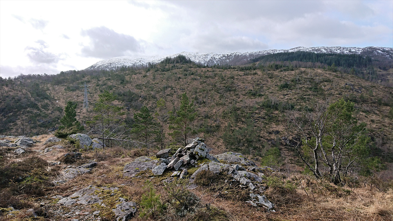
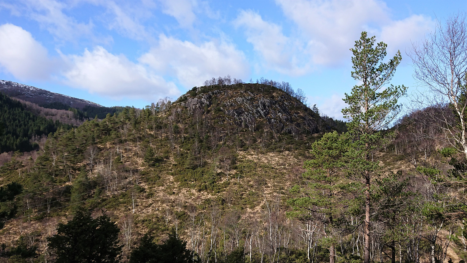
In a trip suggestion from ut.no I had noticed that they referred to Bjørndalssåta, where they also mentioned that it has a cairn which should be visible from far off. I therefore decided to make a detour to see if I could find this peak and the corresponding cairn.
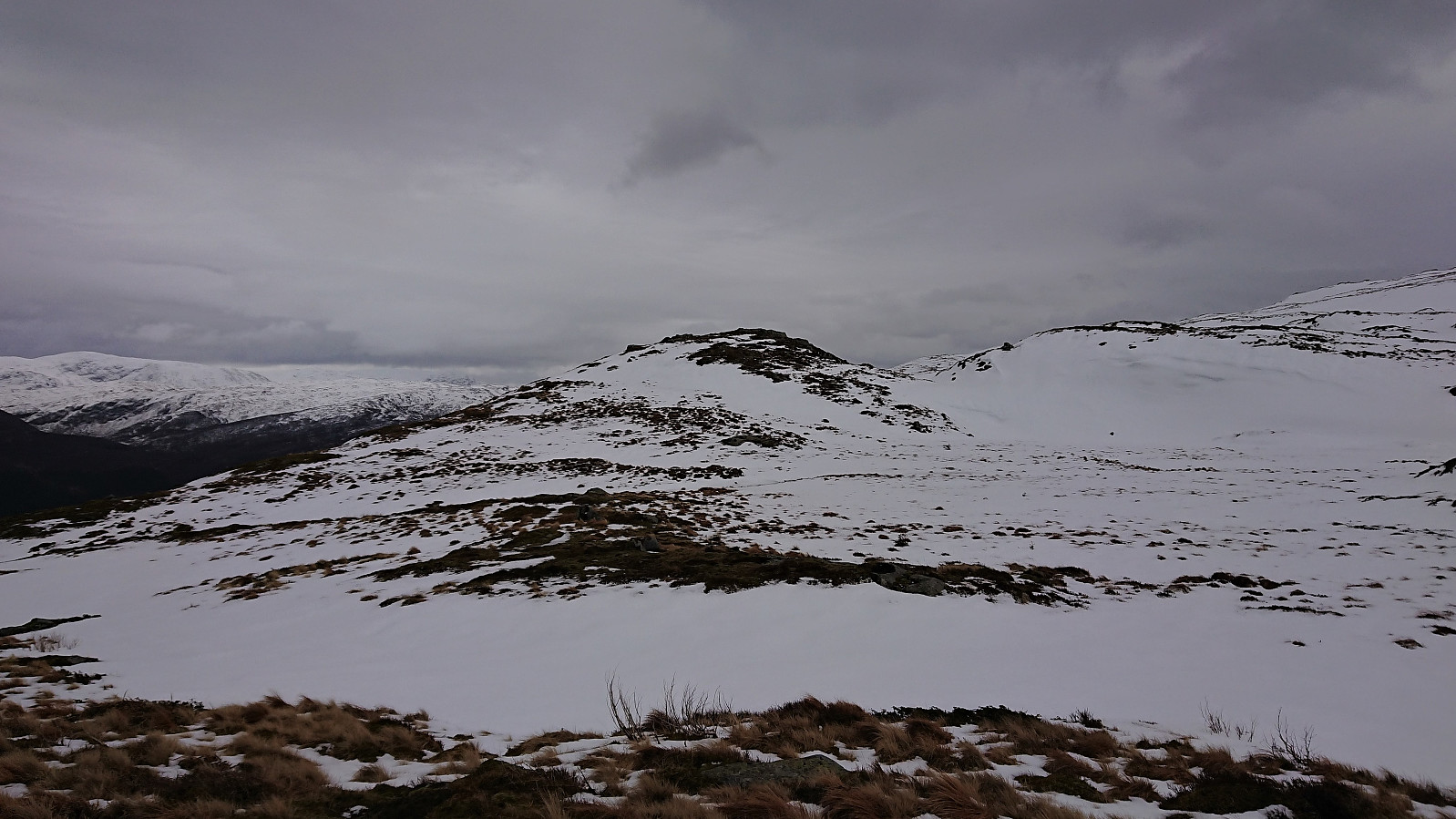
At norgeskart.no, Bjørndalssåta is marked as the 577 hill around 800 meters north of the summit of Borga. But upon reaching this location, I only found one small cairn that I'm pretty sure is not visible beyond a couple of meters. Maybe the trip suggestion from ut.no is actually referring to what on Norgeskart is called Såta? A summit 350 meters southwest of where I was now standing. At least the cairn up there seemed to be significantly larger. This mystery would have to wait for another day though, as the uneven snow-covered terrain made me turn towards Norhytten instead.
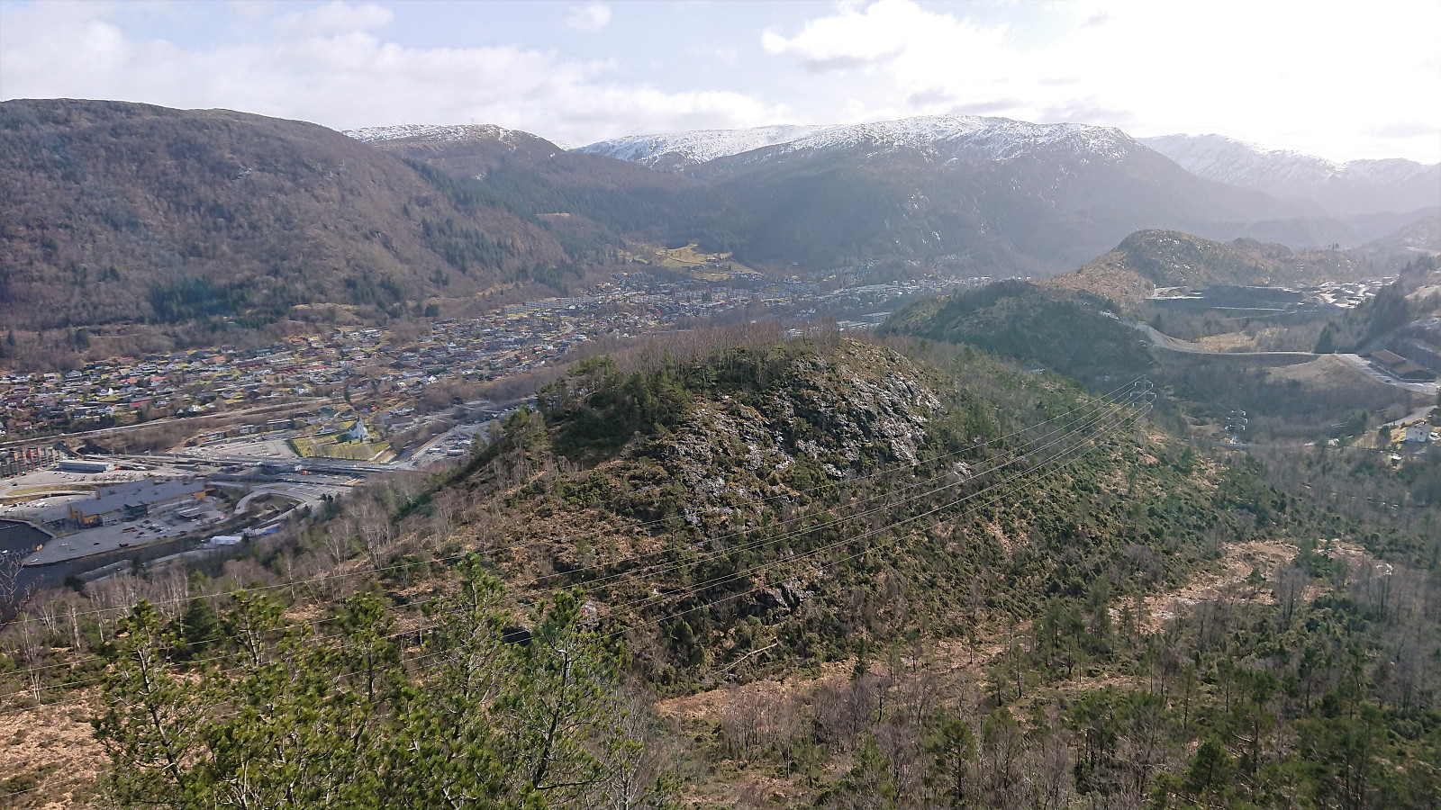
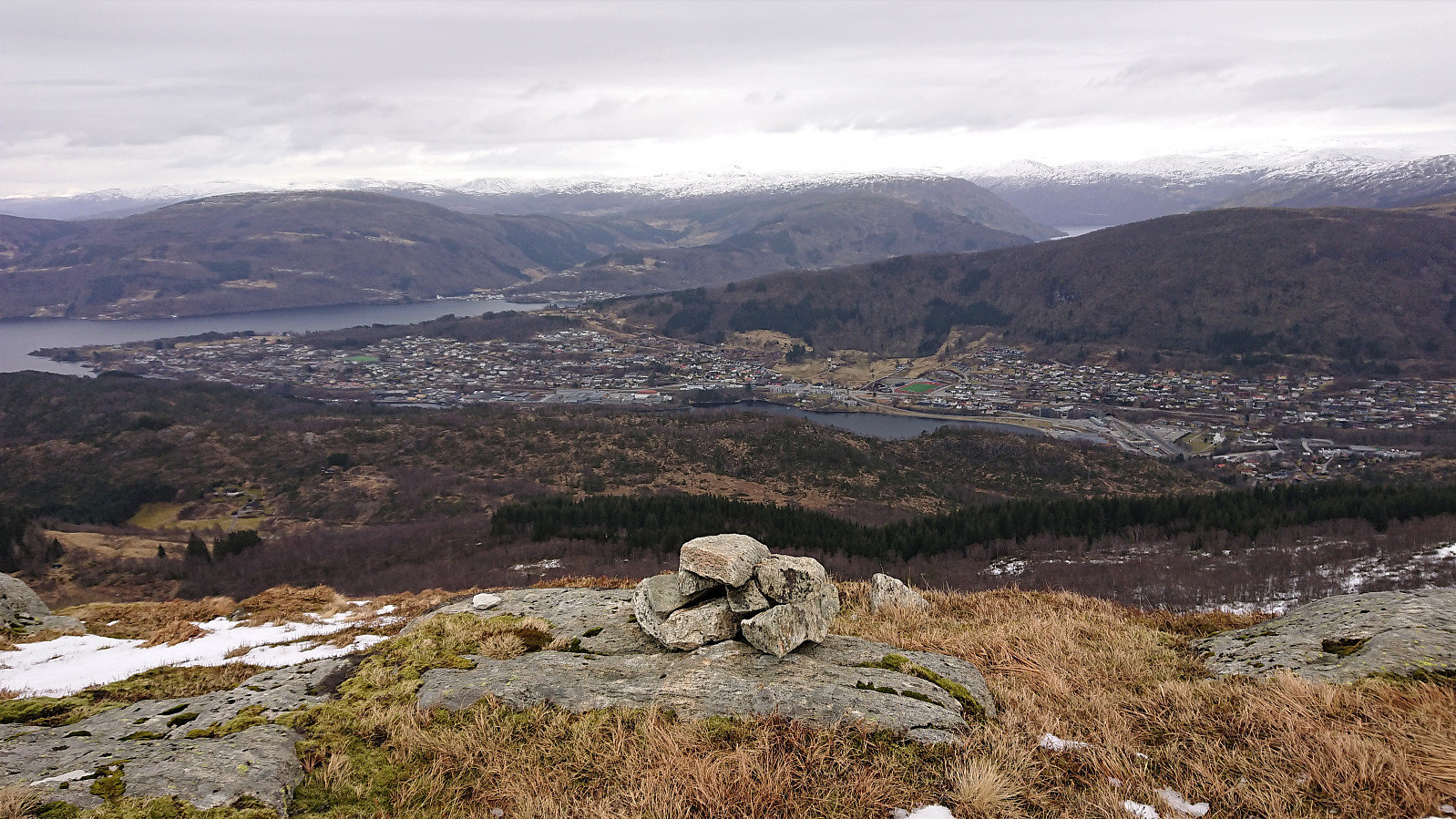
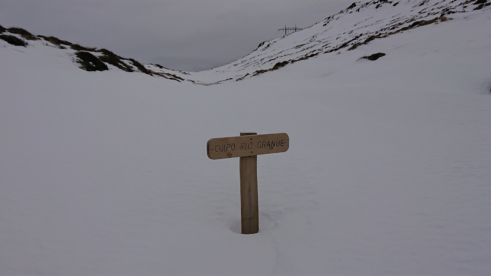
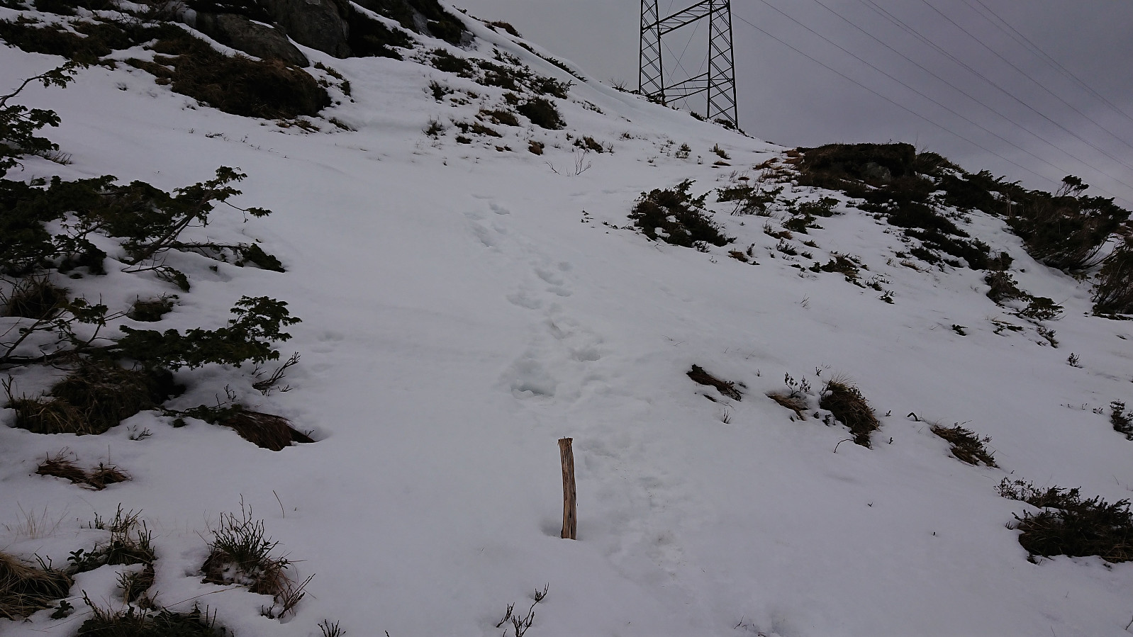
From Norhytten I found a, for me, new shortcut marked with small wooden sticks, and I could thus avoid the detour via Grønetua. This shortcut also passed the Culpo Rio Grande, which today was hidden under the snow, hence I could not compare it to the larger river that had probably given it its name.
After a short stop outside Vikinghytten, I followed the standard route down to Jordalsskaret, where I decided against an ascent towards Rundemanen and rather descended to Jordal instead. The hike was then concluded by following the roads home to Lønborg.
Overall, a very nice hike that can be highly recommended, although most hikers will probably split it into (at least) two separate hikes, i.e. one exploring the area west of Arnavågen and one hiking from Kvamsvegen to Vikinghytten, and probably just skip the detour to Bjørndalssåta altogether.
| Startzeitpunkt | 21.03.2021 10:59 (UTC+01:00) |
| Endzeitpunkt | 21.03.2021 17:02 (UTC+01:00) |
| Gesamtzeit | 6h 02min |
| Zeit in Bewegung | 5h 40min |
| Pausenzeit | 0h 22min |
| Gesamtschnitt | 3,3km/h |
| Bewegungsschnitt | 3,5km/h |
| Entfernung | 20,1km |
| Höhenmeter | 1.216m |

Benutzerkommentare
Mange nye småtopper!
Geschrieben von knutsverre 21.03.2021 23:04Fin og uvanlig langtur! Hvordan får du til å legge inn så nærme hverandre topper uten å støte på sperre? Har du fått hjelp av administrator?
Re: Mange nye småtopper!
Geschrieben von hbar 21.03.2021 23:17Takk! Mange nye stier man kommer over bare man leter litt i kartene.
Måtte nok få hjelp fra administrator ja. Sturla (SturlaS) fikset det på et par minutter. :)
Ser forresten at det ser ut til at du har funnet Landåshytten? Venter i spenning på turrapporten!
Sv: Re: Mange nye småtopper!
Geschrieben von knutsverre 21.03.2021 23:26OK! Det gir mening. Fant sikre tufter i form av overgrodde hjørnesteiner på stedet der du mente hytten må ha ligget! Steinene litt nord for hytten opp mot granskogen som du og har funnet tror jeg kan ha vært et lite uthus eller utedo for hytten. Rapport kommer i morgen.