Geithaugen (31.10.2020)

| Start point | Kuviki/Kulshammar (6m) |
|---|---|
| Endpoint | Kuviki/Kulshammar (6m) |
| Characteristic | Hillwalk |
| Duration | 1h 14min |
| Distance | 3.8km |
| Vertical meters | 178m |
| GPS |
|
| Ascents | Geithaugen (128m) | 31.10.2020 |
|---|
Geithaugen
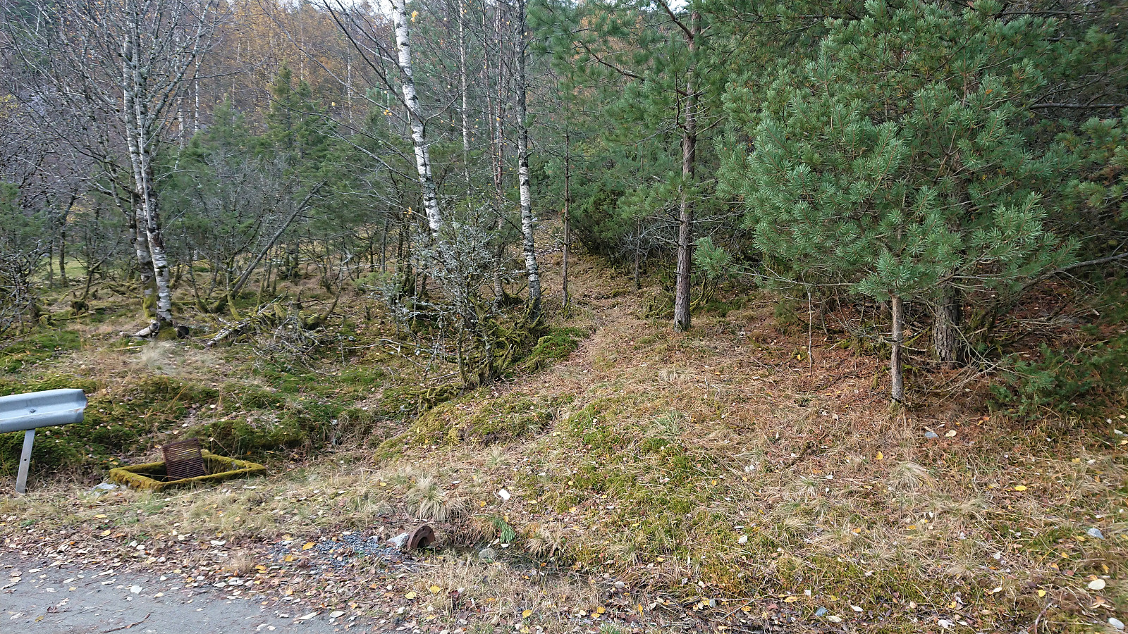
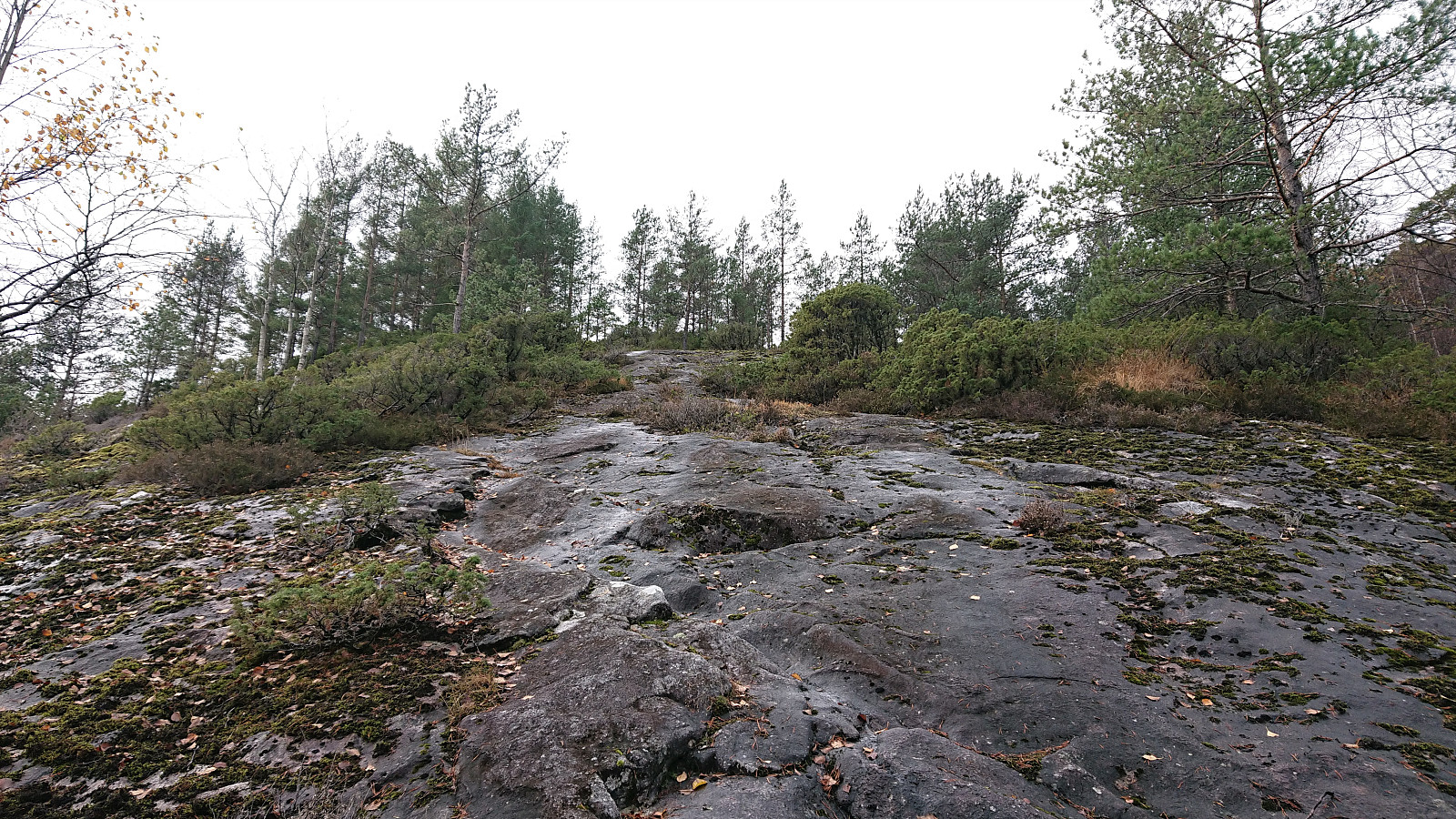
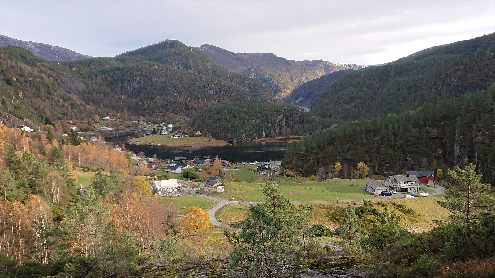
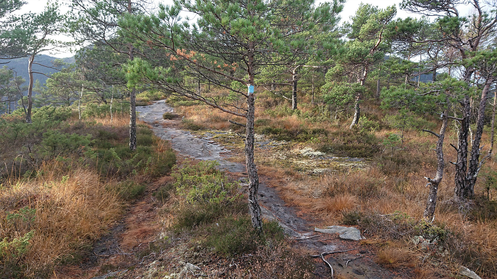
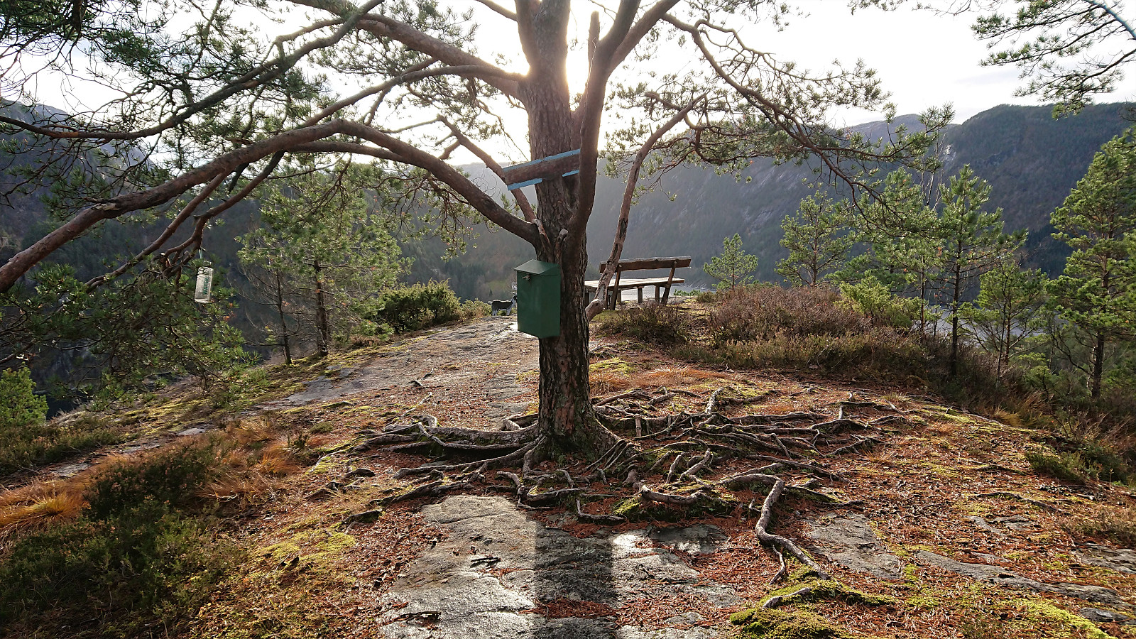
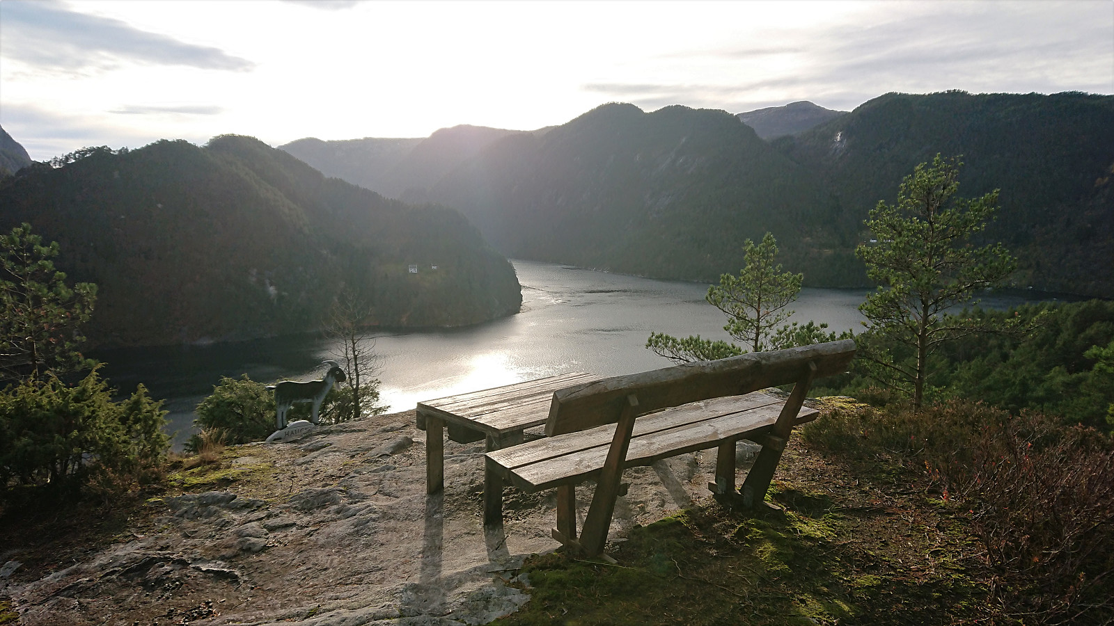
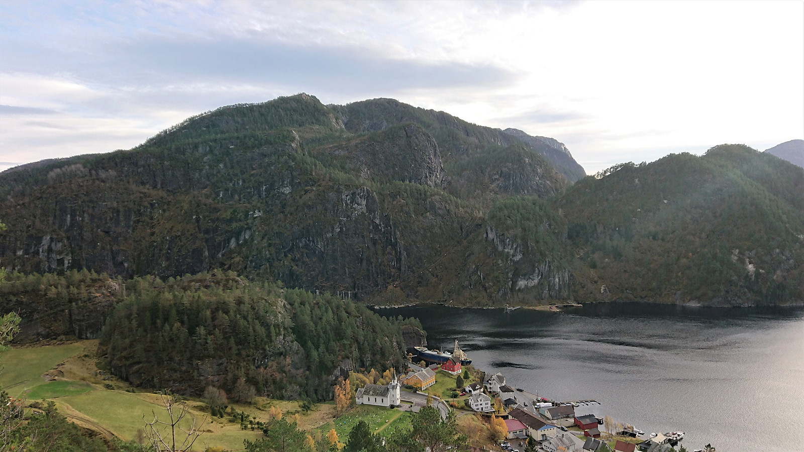
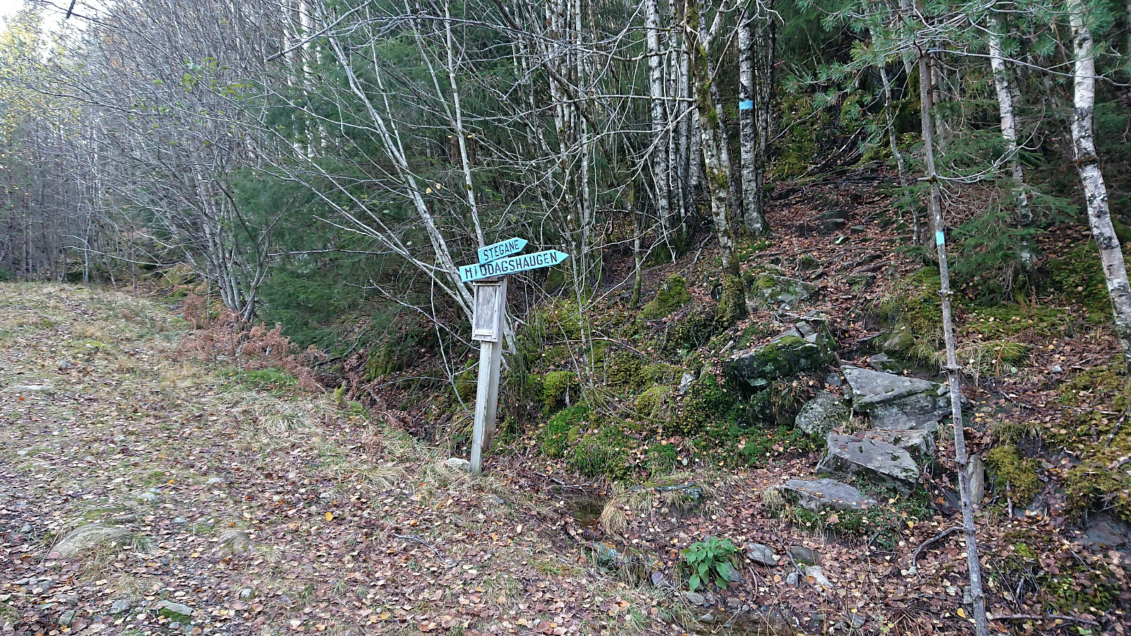
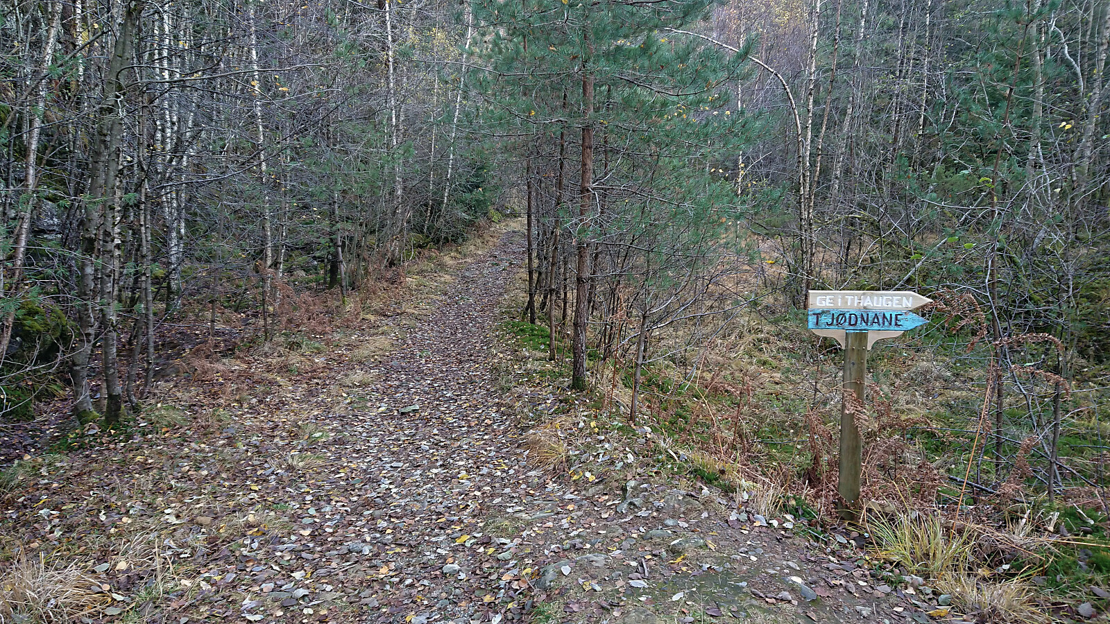
After the small expedition required to get to Solaråsen, I still had plenty of time before the bus back to Bergen and decided on a short bonus trip to Geithaugen. I started west along the main road before following Stamnesvegen to an unmarked trailhead east of the summit. The trail itself was weak, but the direction was pretty obvious. 100 meters east of the summit I connected with a marked trail and could shortly enjoy nice views from the summit, most notably providing an excellent overview of my earlier route to Solaråsen.
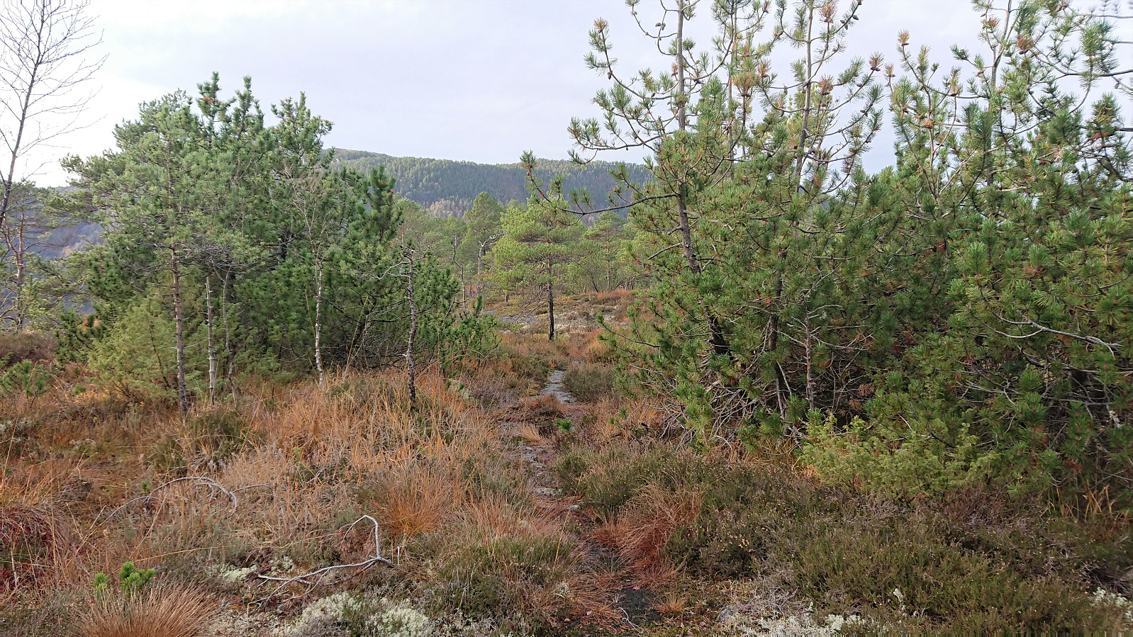
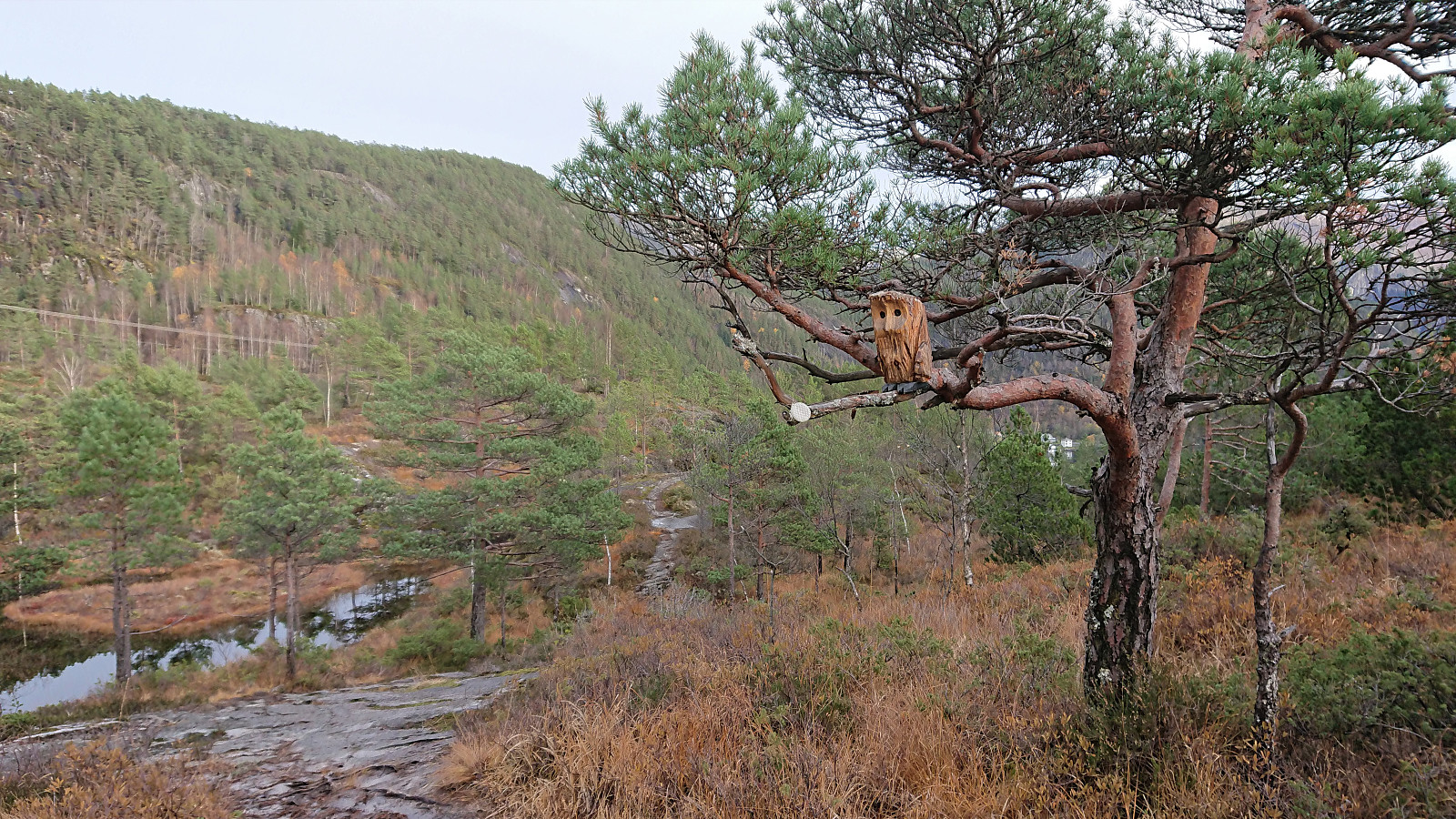
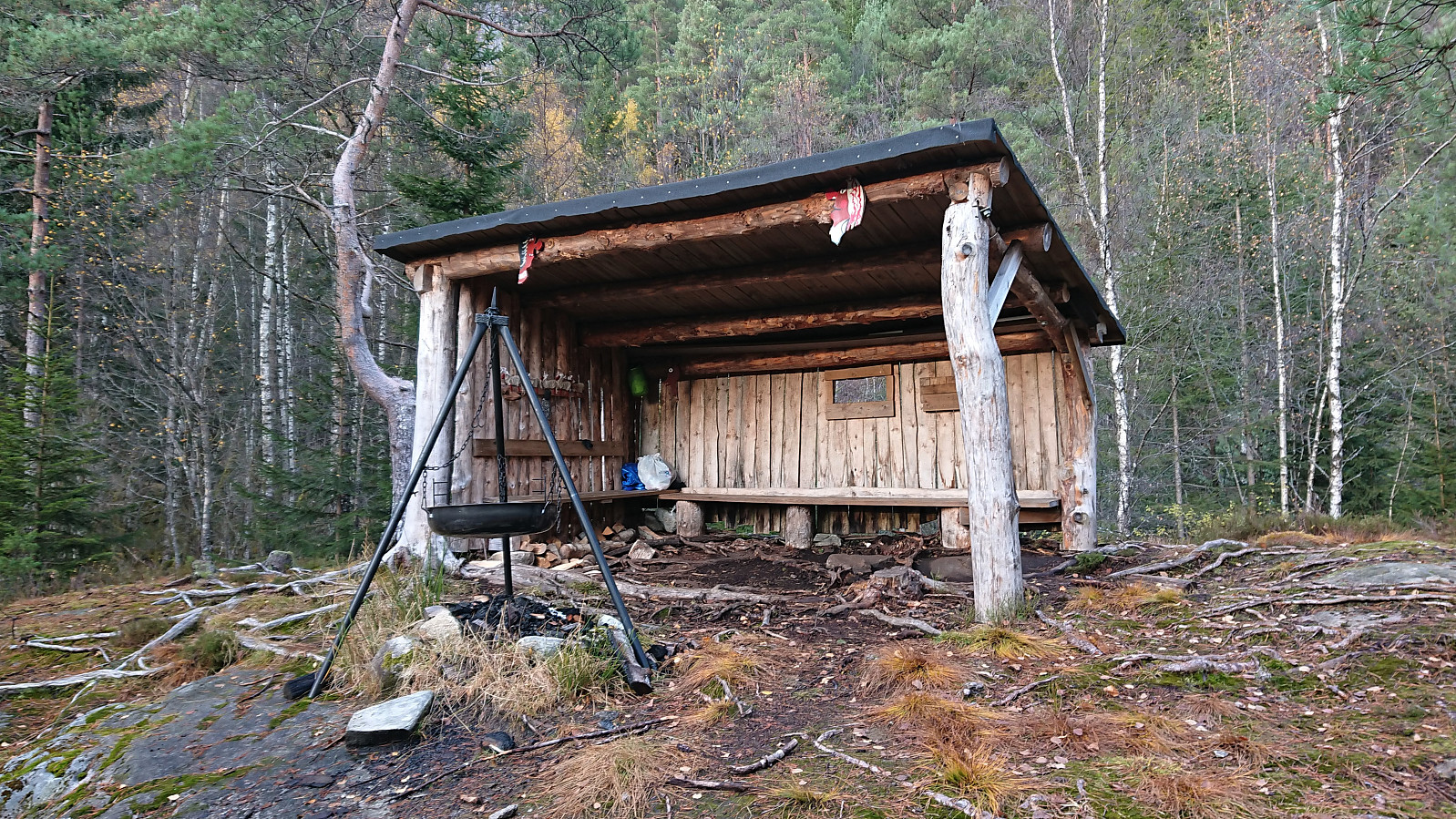
For the descent I followed the marked trail east and then north to a tractor road, which I could then follow back down to Stamnesvegen. This trail was of much better quality and was also sparkled with lots of wooden animals "hidden" at various locations. Not as exciting as the large real deer I came across at Fethaugen earlier of course, but they did make the descent slightly more interesting. The hike was concluded by walking east along the main road and then waiting about half an hour at the bus stop next to Stamnes skule.
All in all, a short nice trip with great views from the summit and with lots of small surprises along the way if following the marked trail from the northeast.
| Start date | 31.10.2020 13:55 (UTC+01:00) |
| End date | 31.10.2020 15:09 (UTC+01:00) |
| Total Time | 1h 14min |
| Moving Time | 1h 03min |
| Stopped Time | 0h 11min |
| Overall Average | 3.0km/h |
| Moving Average | 3.6km/h |
| Distance | 3.8km |
| Vertical meters | 178m |

User comments