Solaråsen via Fethaugen (31.10.2020)

| Startsted | Kuviki/Kulshammar (5moh) |
|---|---|
| Sluttsted | Kuviki/Kulshammar (5moh) |
| Turtype | Fjelltur |
| Turlengde | 4t 06min |
| Distanse | 7,6km |
| Høydemeter | 859m |
| GPS |
|
| Bestigninger | Fethaugen (74moh) | 31.10.2020 |
|---|---|---|
| Middagsnipa (296moh) | 31.10.2020 | |
| Solaråsen (238moh) | 31.10.2020 | |
| Uraberget (266moh) | 31.10.2020 |
Solaråsen via Fethaugen

Warning: This hike includes steep off-trail descents in rugged terrain.
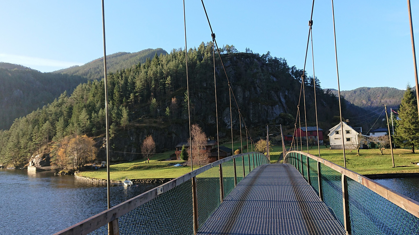
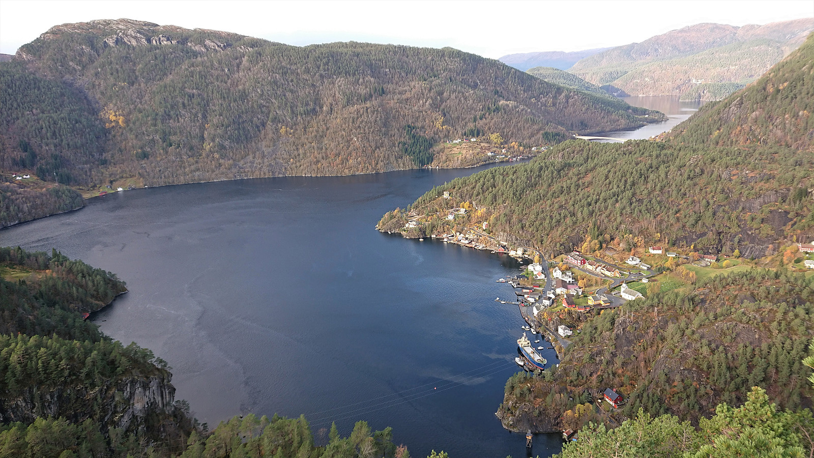
I had always assumed that reaching the summit of Solaråsen would require an initial transportation stage by boat, as this was the option used in all of the limited number of available trip reports. At least until I came across petter (Petter Bjørstad)'s external trip report indicating an alternative route starting from the private suspension bridge in Kuviki. While this route included a significant amount of both ascending and descending in rugged terrain (after initially following a marked trail around Fethaugen), it did provide a land-based alternative and seemed doable.
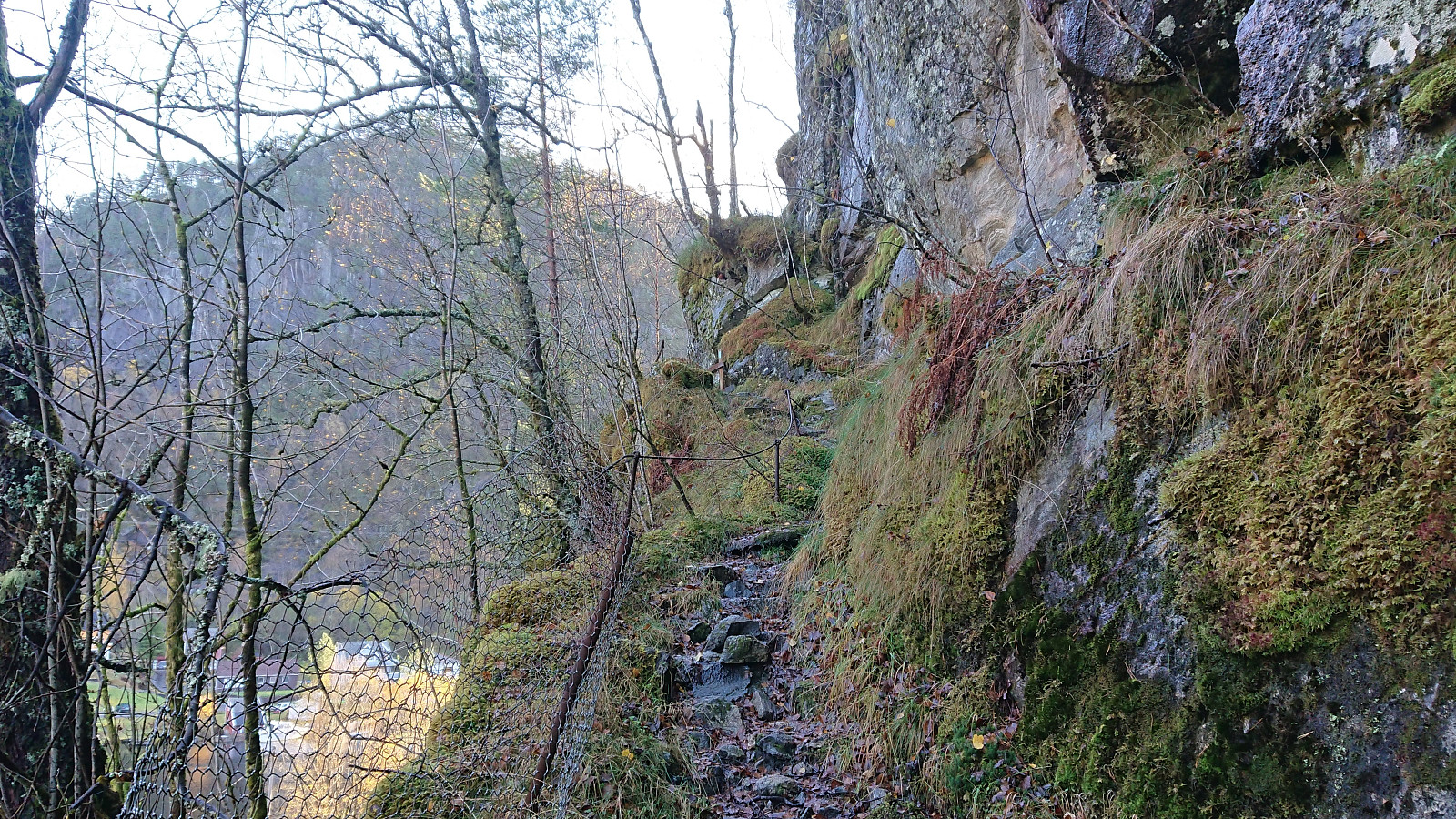
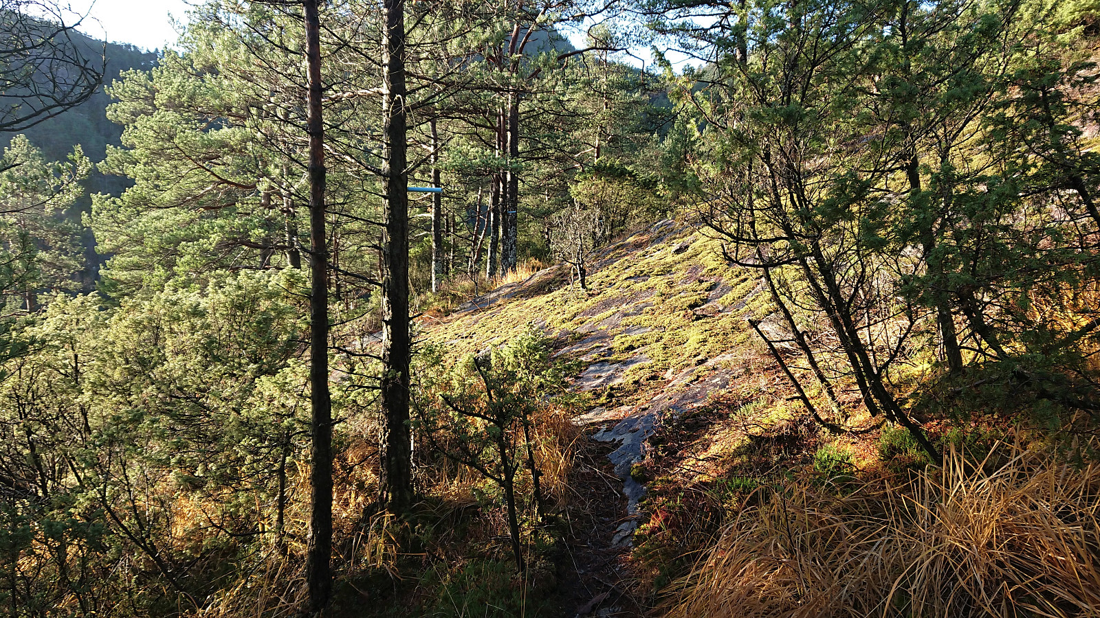
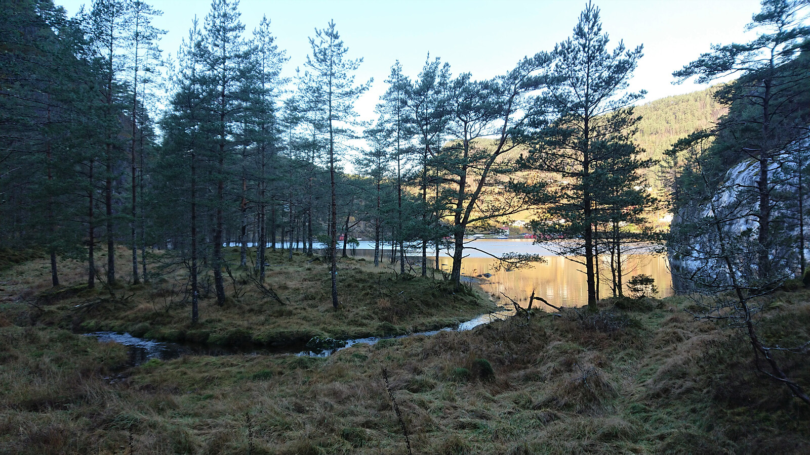
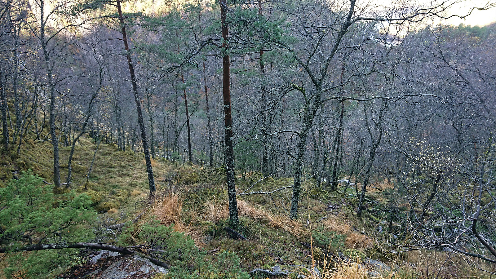
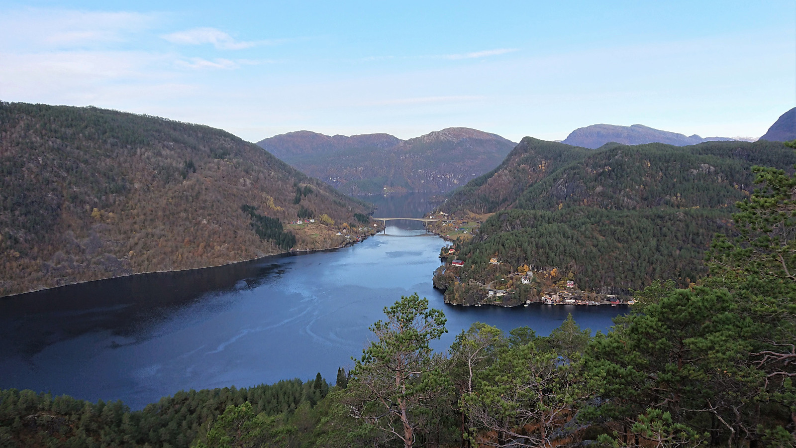
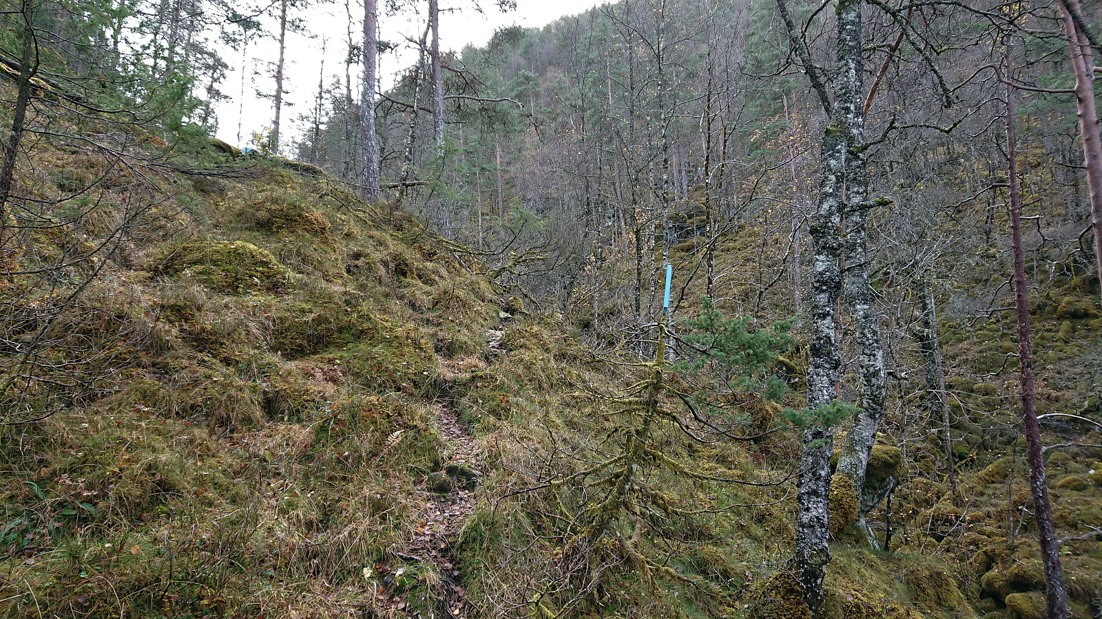
After studying Petter's report in detail (as it did not include a GPS-track), I took the train and bus to Kuviki and got off at the bus stop called Kulshamar (or Kullshammar on the map). This landed me right on front of the private suspension bridge to Stamnesfeti and Fethaugen, which I then used to reach the unmarked trailhead south of the houses at Stamnesfeti. Here I could follow a natural ramp east for an easy start to the ascent. Soon the trail was even marked with blue (and sometimes red) plastic tubes.
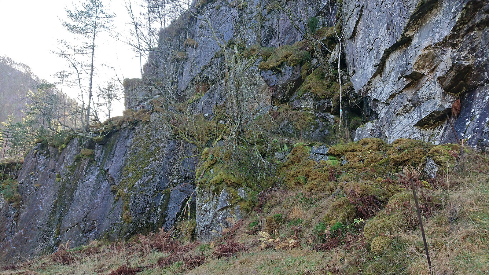
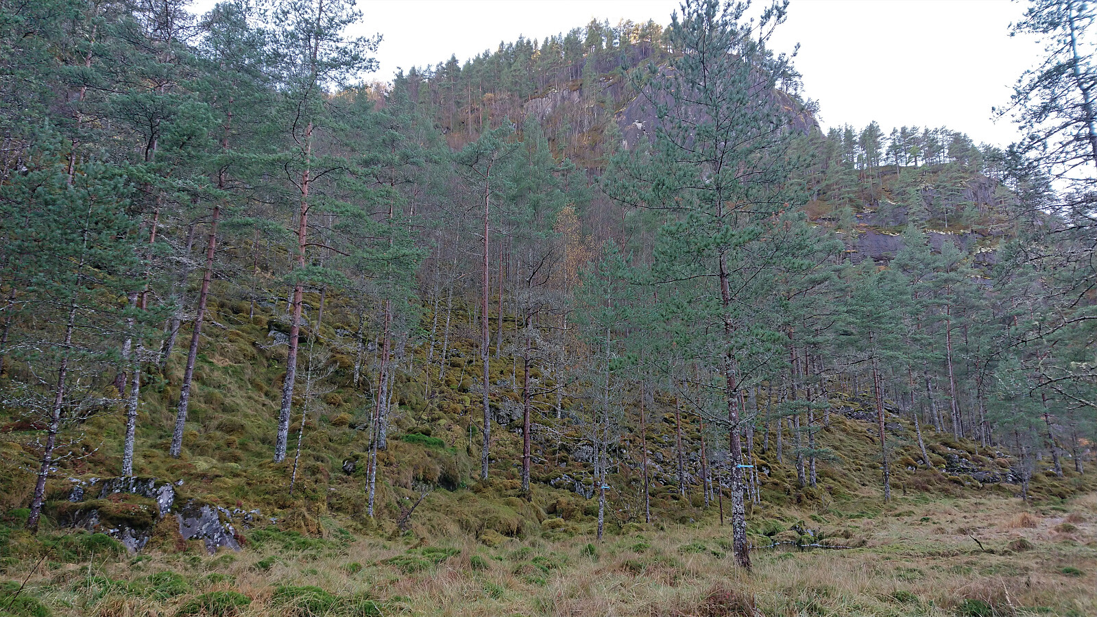
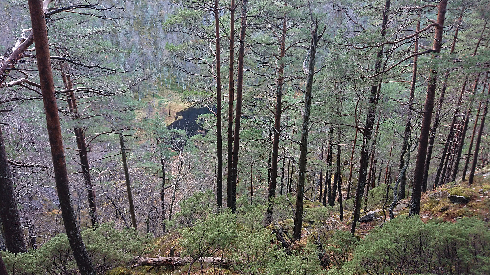
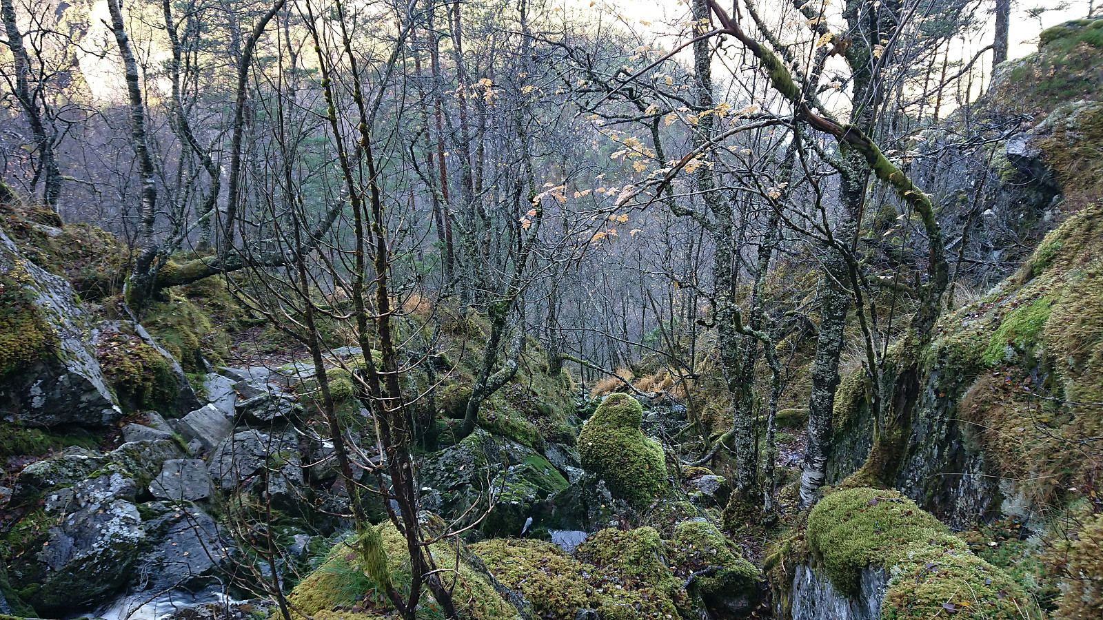
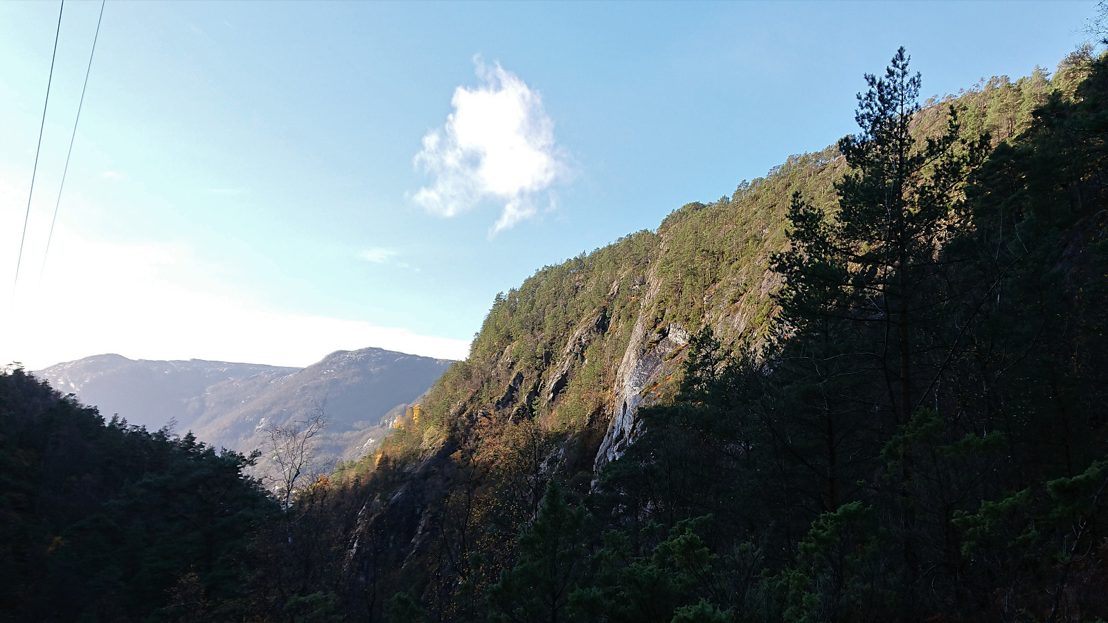
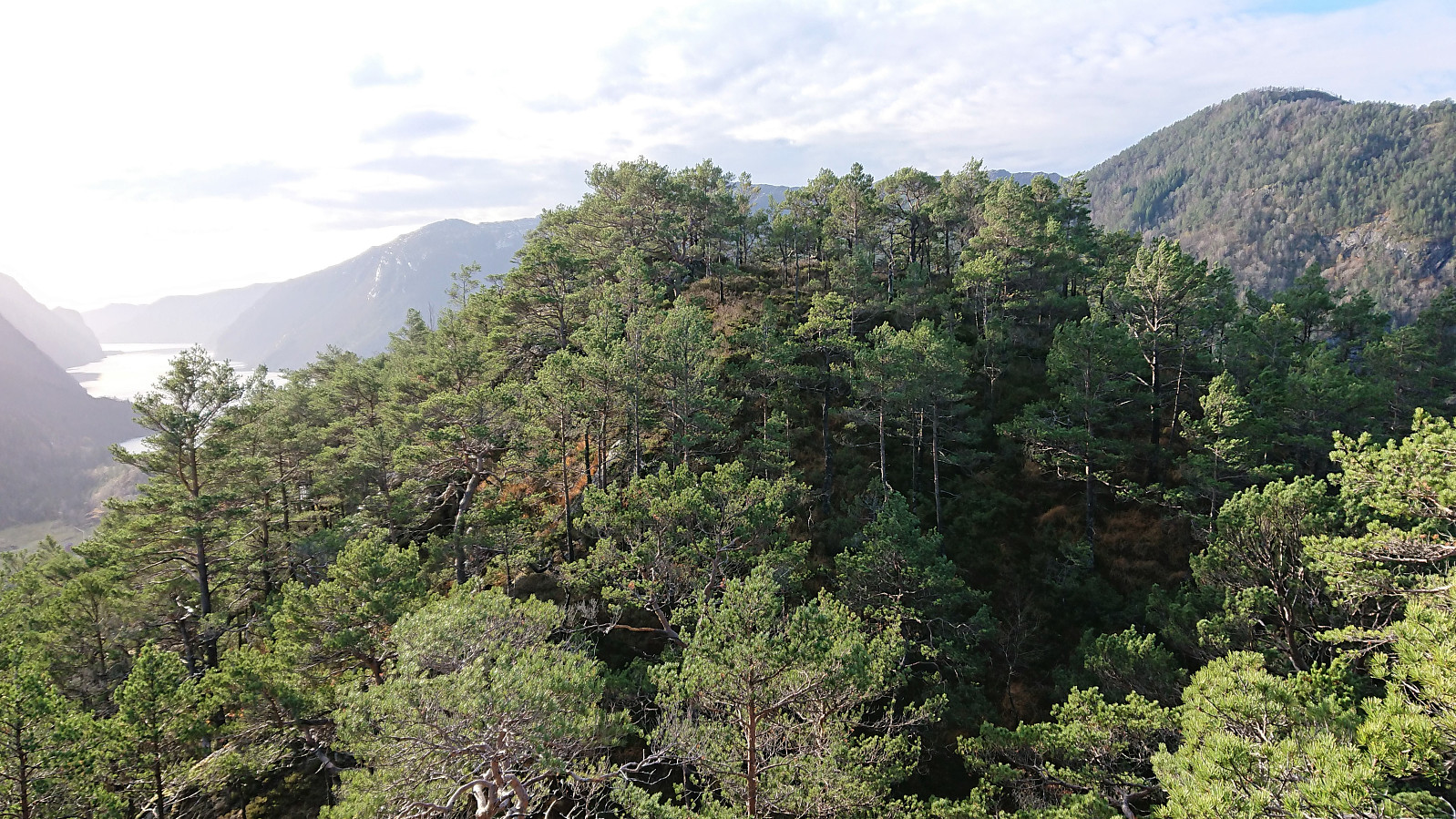
The trail did not go via the summit of Fethaugen, but rather around the summit on the eastern side, and then descended to north of the small hill. In fact, the trail took me all the way back down to the level of the fjord before starting its steep ascent up Kvernhusdalen. Here I made the same mistake Petter had done on his first visit, and continued too far along the trail before turning off-trail southwest towards Middagsnipa.
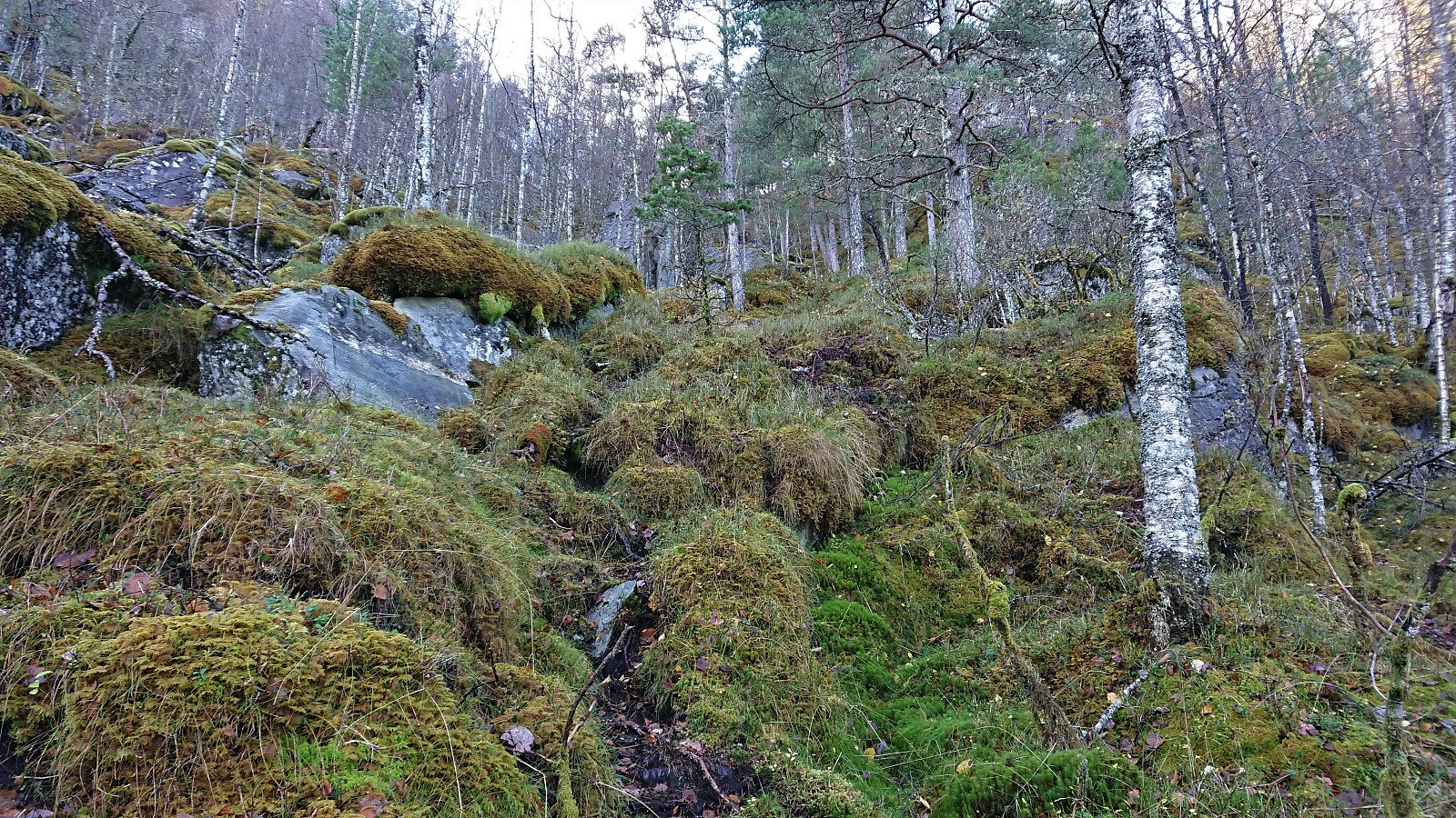
I therefore had to struggle a bit in terrain consisting mainly of large moss-covered boulders with hidden gaps in between them, before finally connecting with a set of deer tracks that made the progress much easier. (I would recommend using my later descent route for the ascent as well. See the GPS-track.) Soon the terrain turned much less steep and I arrived at the summit of Middagsnipa without any real issues.
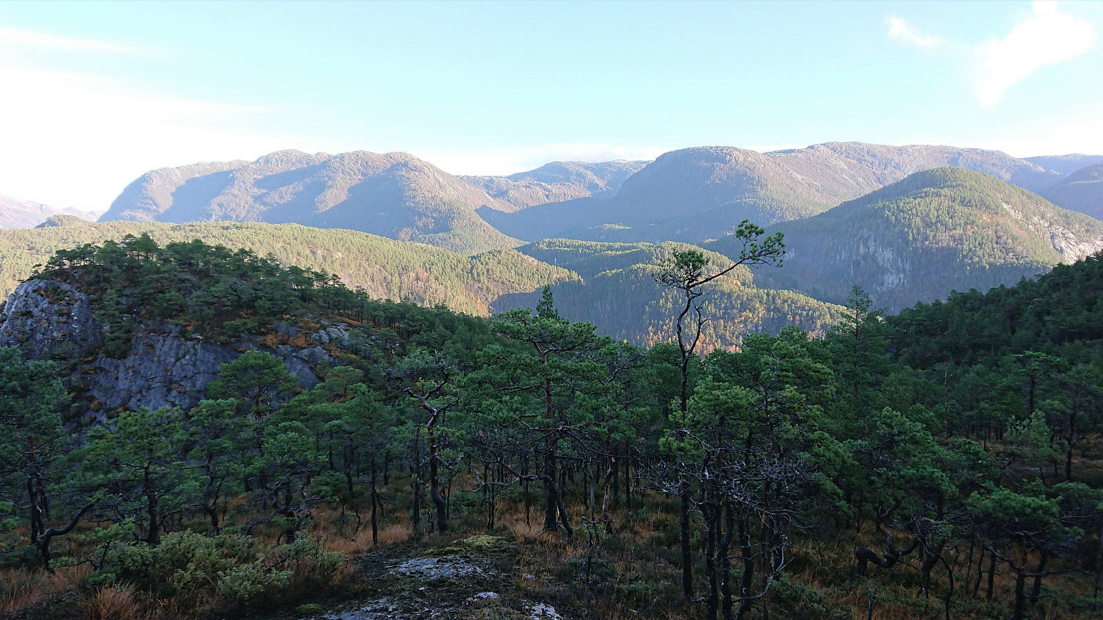
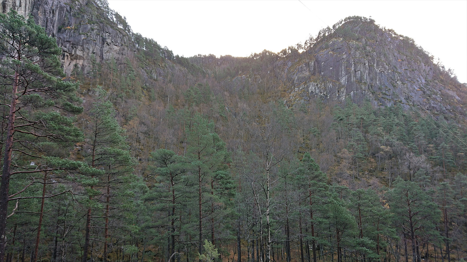
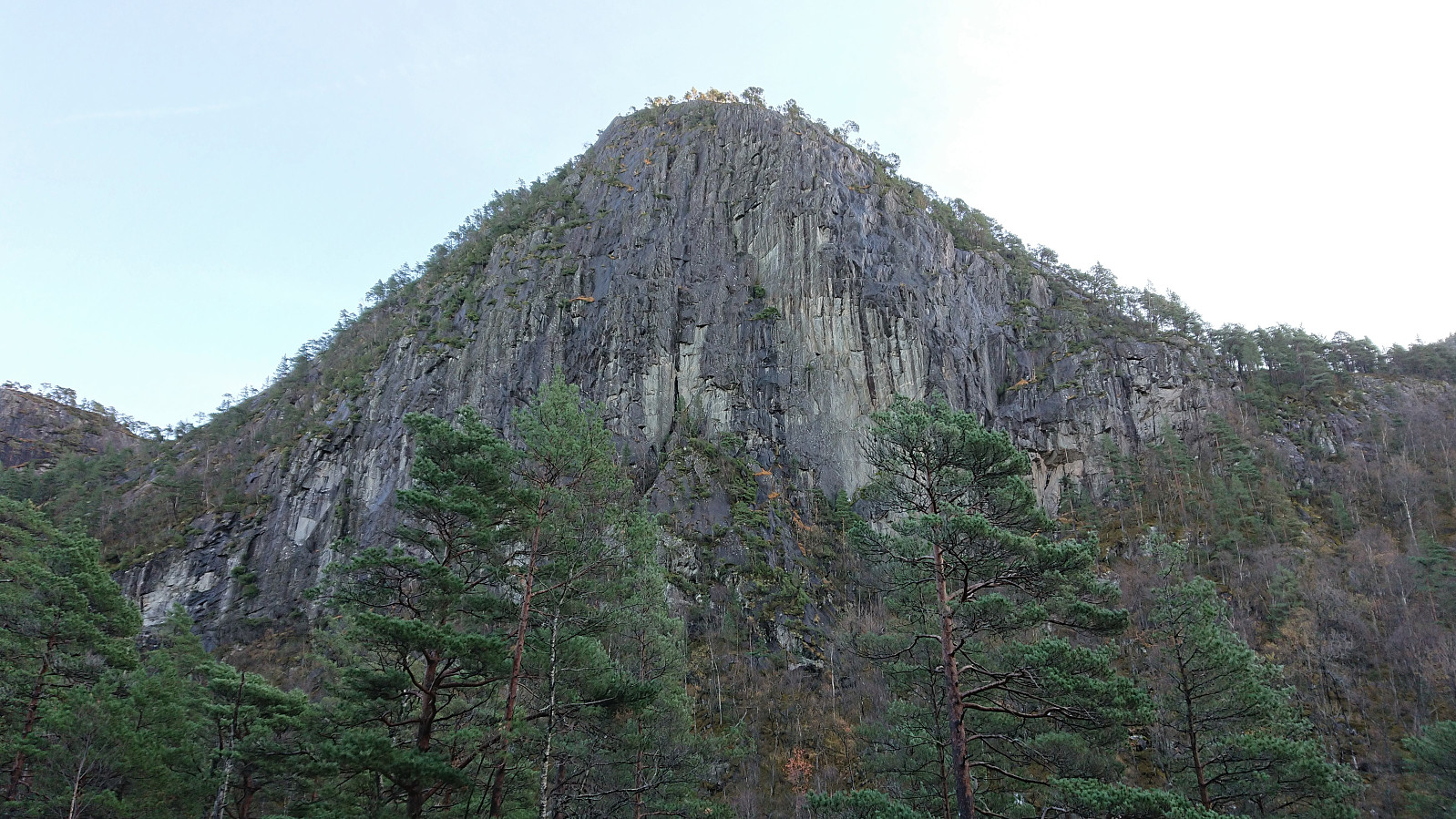
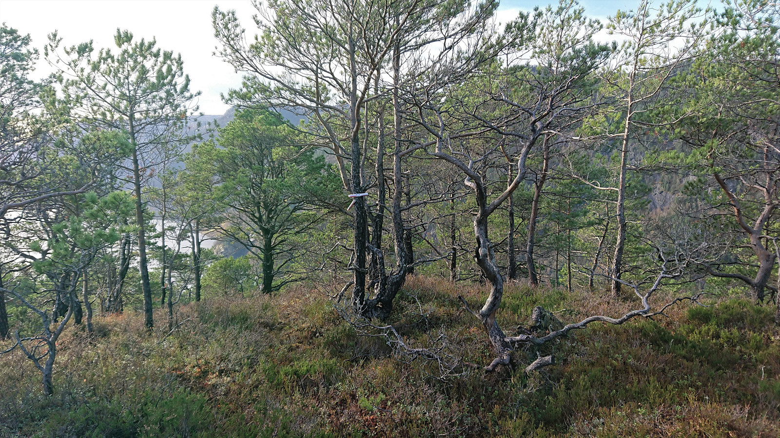
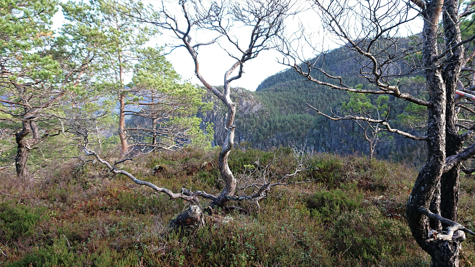
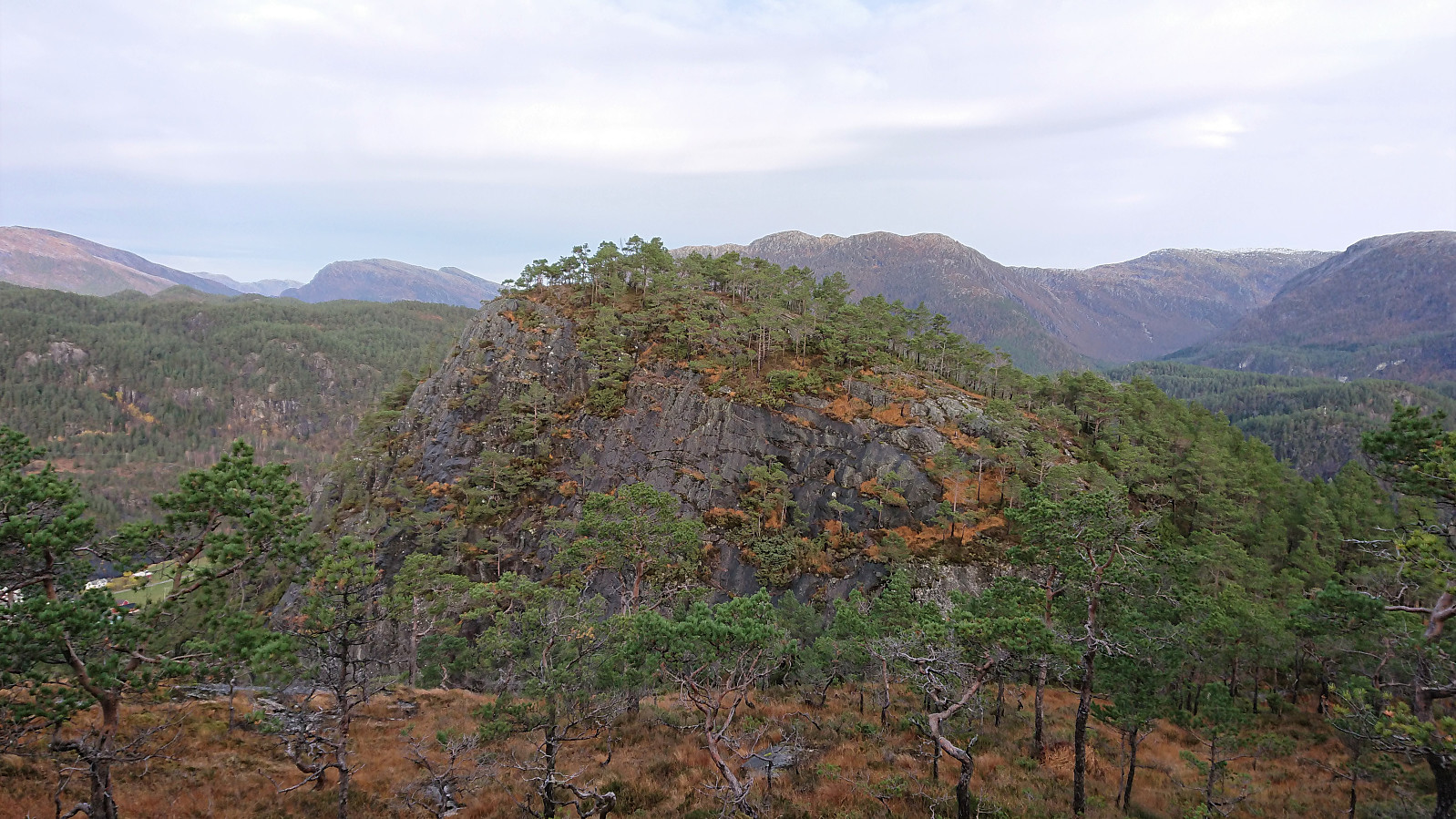
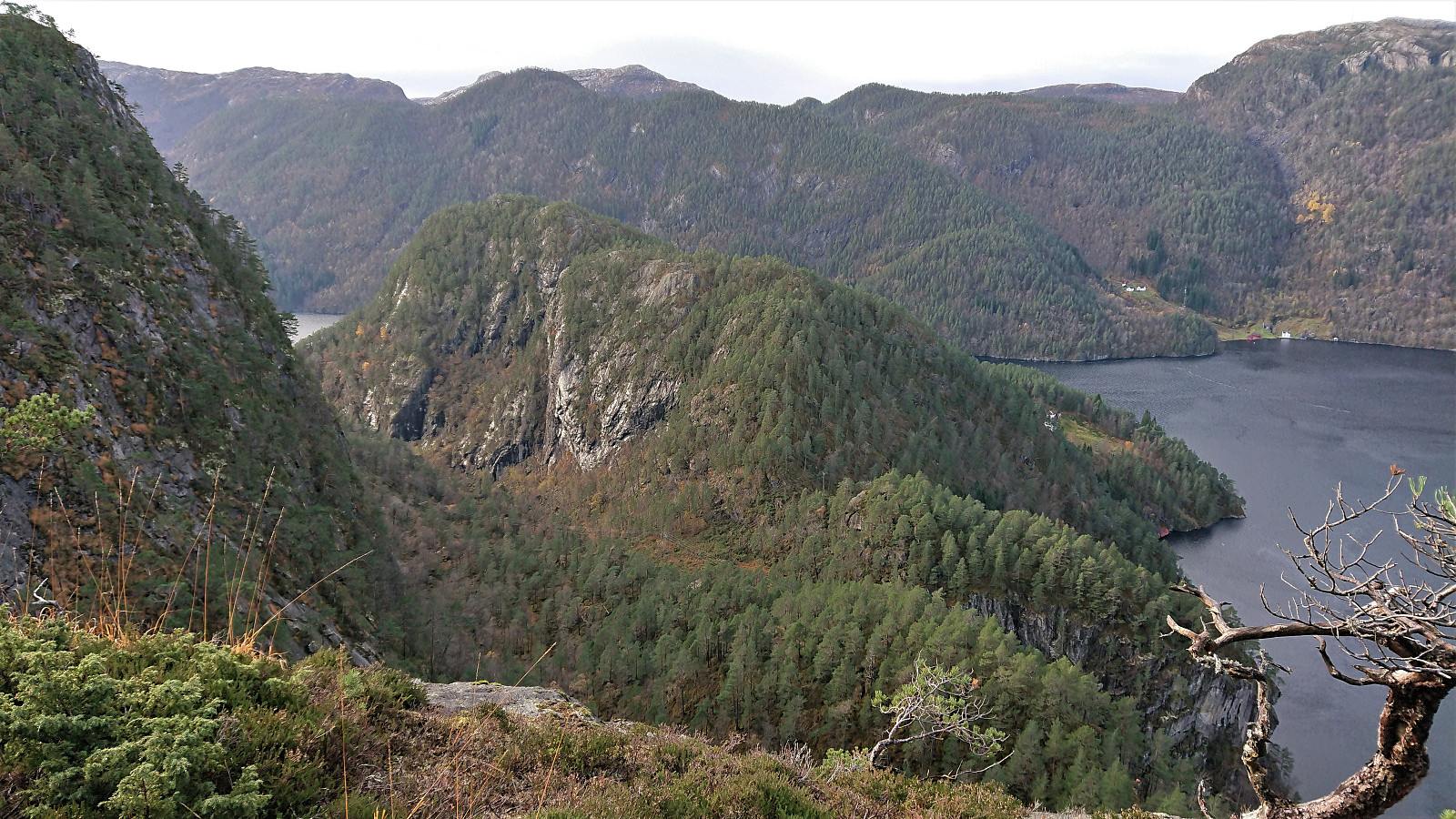
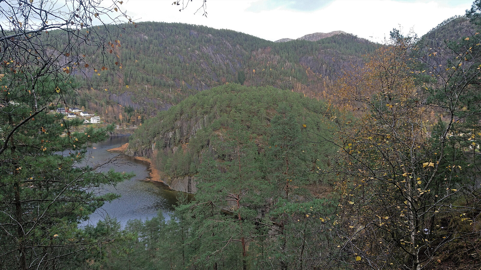
Here I got my first look at Solaråsen and the remaining challenge. And I must admit, that when looking steeply down at Solaråsen I felt a bit unsure if I had bitten off more than I could chew. However, armed with Petter's route description I knew that there should be a way of avoiding the steepest areas, and thus started my descent towards Tjørnabotnen. And while relatively steep, this turned out to be much easier than I had feared. No exposed sections, lots of deer tracks to follow, and only a couple of short stretches where light scrambling was required.
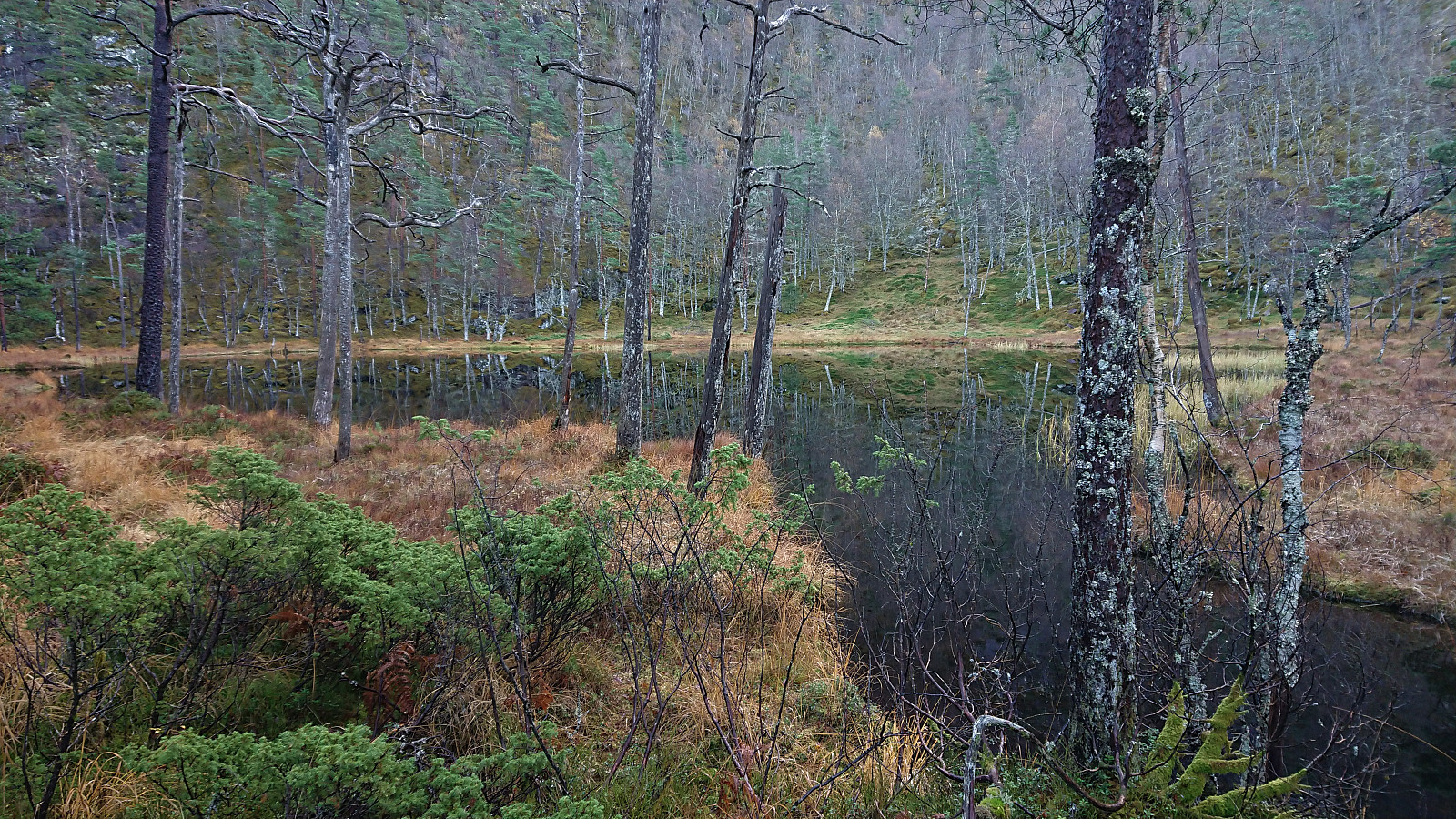
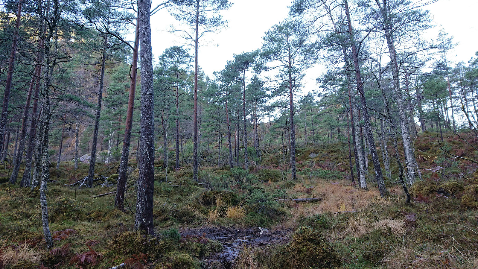
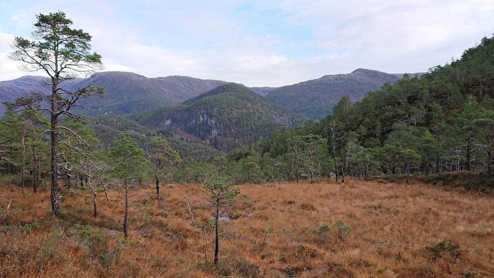
Tjørnabotnen was therefore reached without any difficulties. From there I followed the small stream northwest, again positively surprised about the lack of any really steep areas. In fact, there were even traces of what almost looked like a weak trail at times. Though I'm expecting these were more deer tracks than man-made trails. In any case, the descent to Kvamsdalen was carried out without any real challenges.
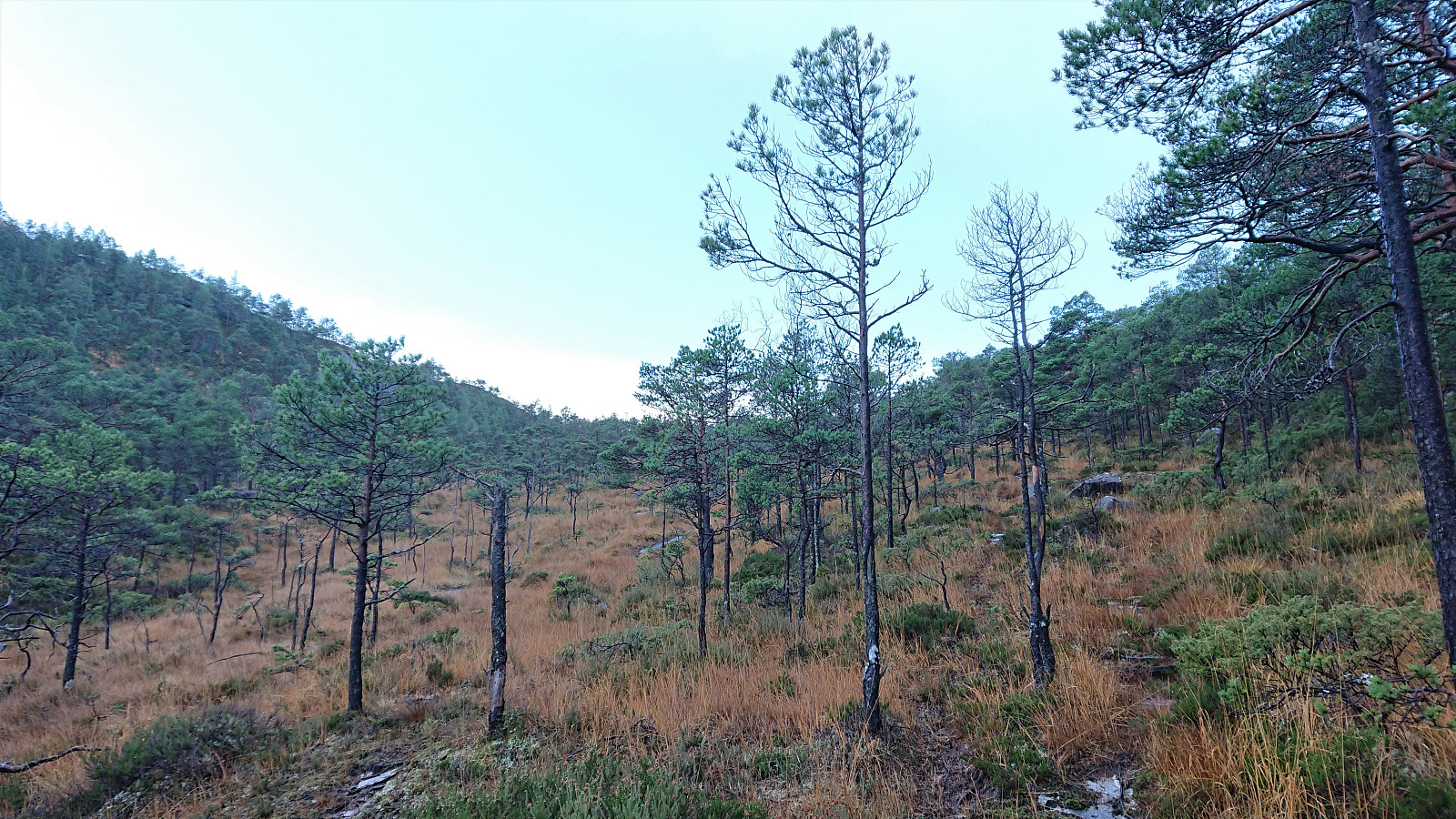
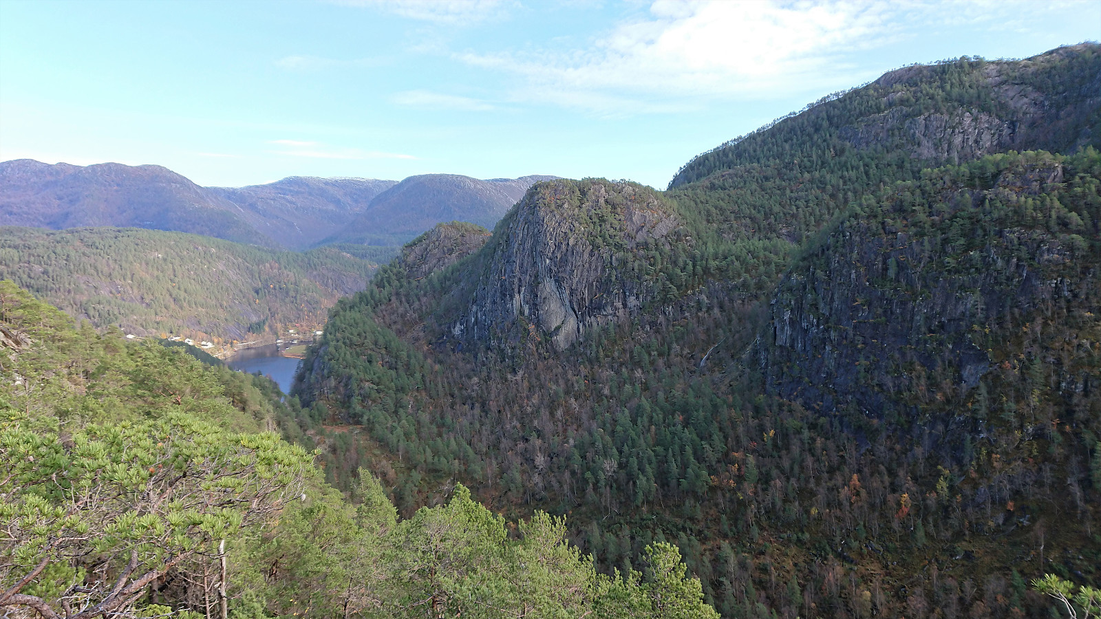
Almost 1.5 hours after crossing the suspension bridge at Kuviki, I arrived in Kvamsdalen and was now finally ready to start the actual ascent to the summit of Solaråsen. I headed for the overhead power line crossing the Solaråsen ridge to the northeast, and here located a deer track that felt almost like a trail. This initially made for very good progress up the ridge. The tracks/trail later disappeared though, and I made my own way towards the summit for most of the rest of the ascent. The summit was reached without any problems and provided excellent views, especially south along Veafjorden and east towards Middagsnipa and my recent descent into Kvamsdalen.
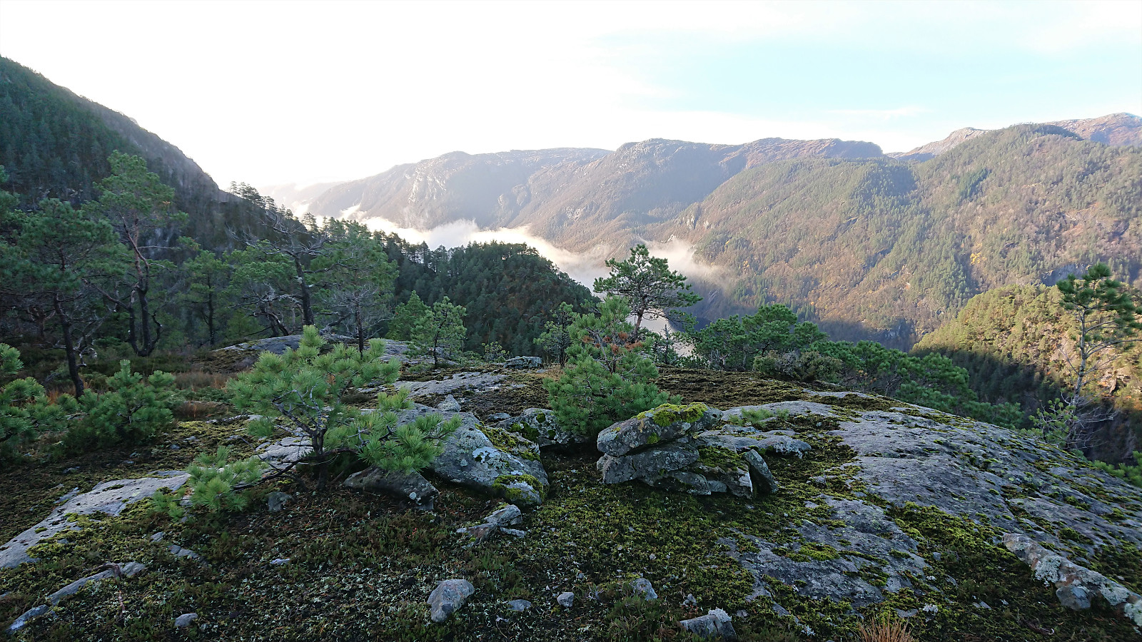
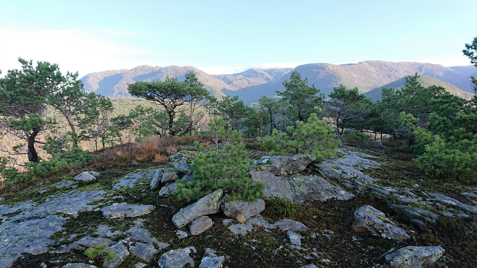
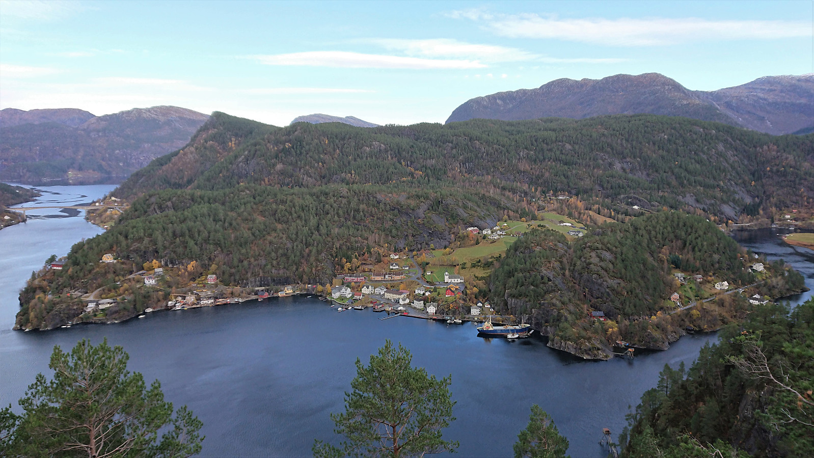
After a short lunch break at the summit, I followed pretty much the same route back to the marked trail in Kvernhusdalen. The main exception being that I replaced Middagsnipa with a visit of Uraberget, which also provided excellent views, both towards Stamnes and back down to Solaråsen. I also tried to avoid the worst terrain when getting close to the trail in Kvernhusdalen, and thus found a much better way to connect with the marked trail.
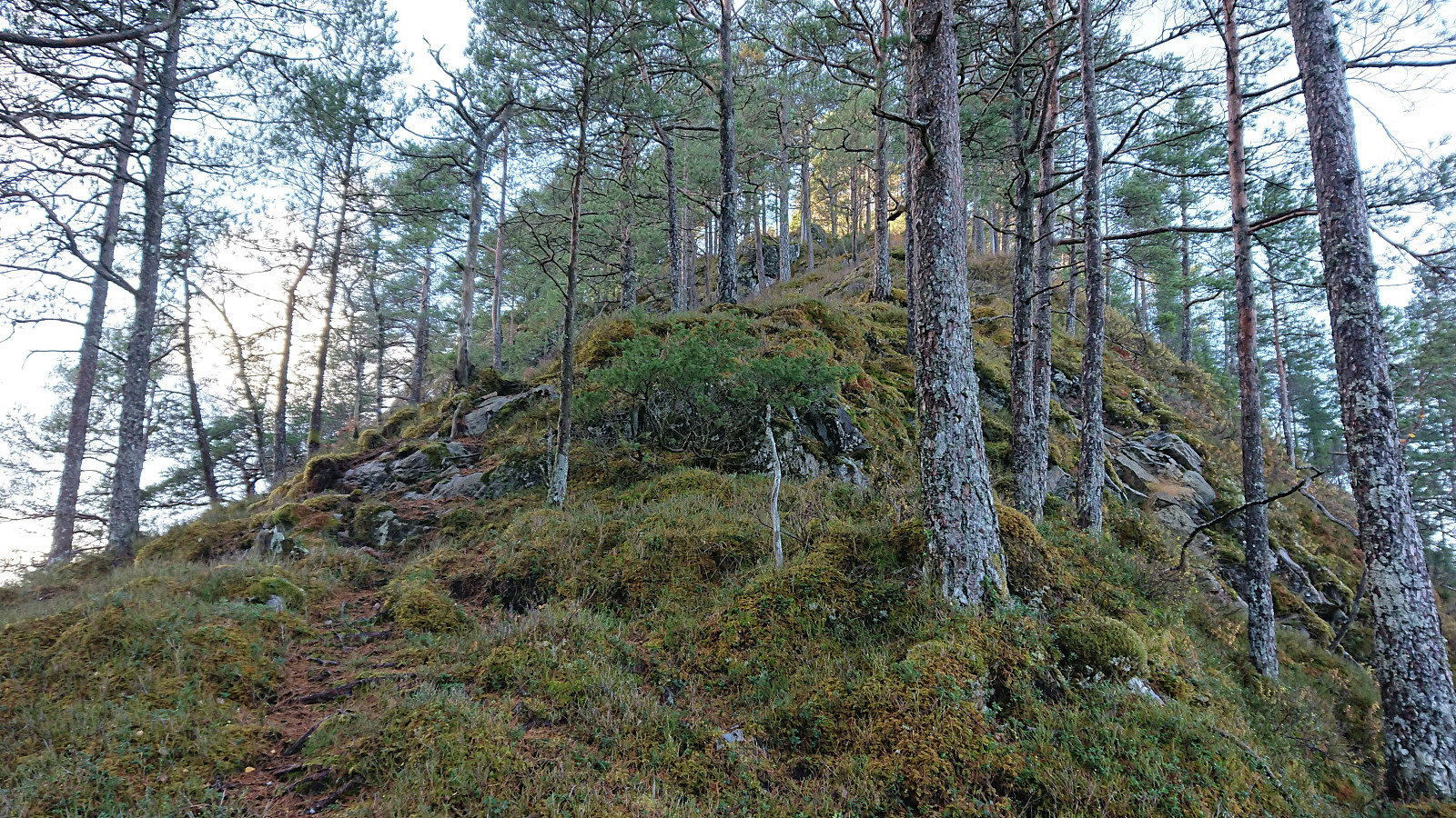
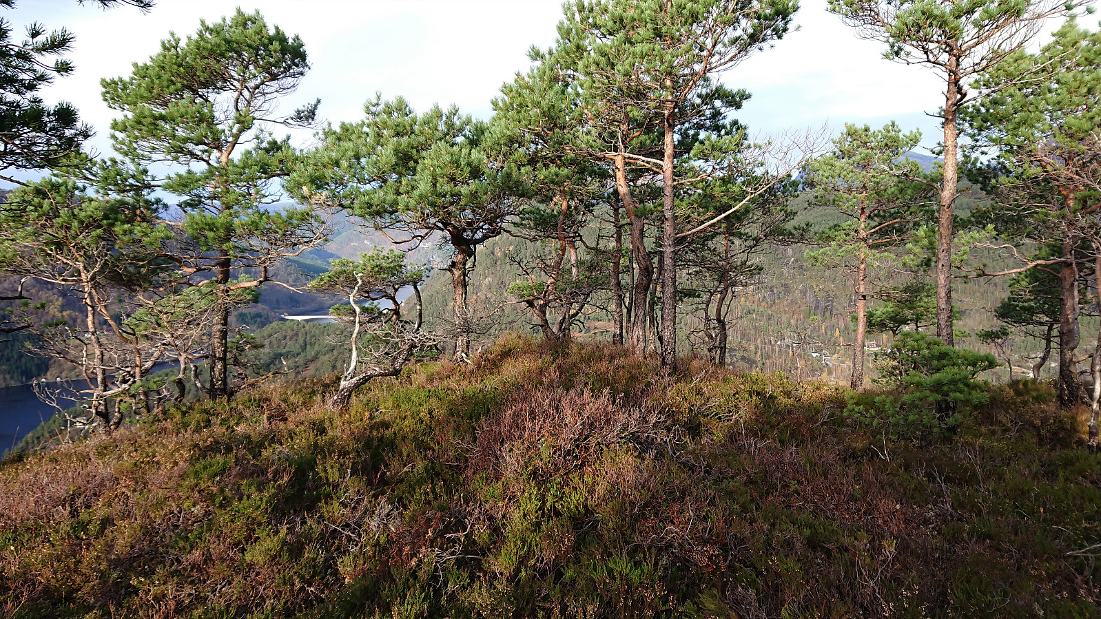
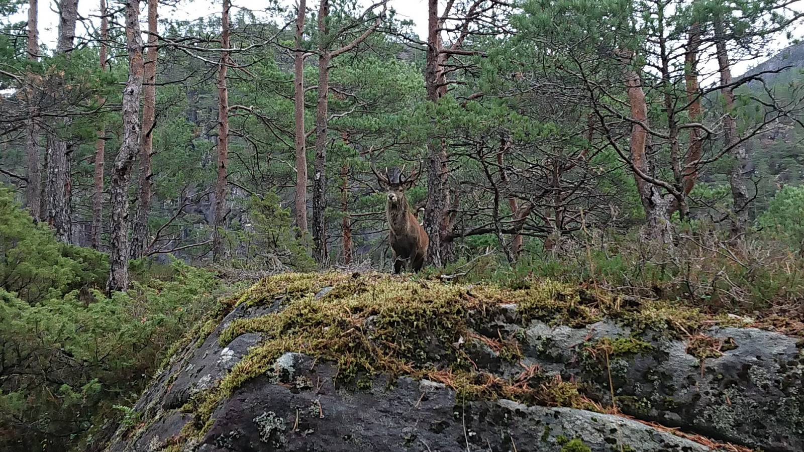
Towards the end of the hike, I also made the extra short detour to the summit of Fethaugen. There was no marked trail to the summit, but I think I followed some sort of trail, and the summit itself showed lots of traces of human activity. I did not see any people today though, but I did come pretty close to a large deer instead, even managing to take a fairly good picture before it ran away.
In summary, while this hike may not be for everyone, with its steep off-trail descents in rugged terrain and its many ups and downs before starting the actual ascent towards the main goal, it can definitely be highly recommended to anyone not shying away from these types of conditions. At times it even felt like I was on a minor expedition in the middle of nowhere. And the feeling of looking steeply down at Solaråsen halfway through the hike and not really knowing how to get there, is clearly a unique feeling!


| Starttidspunkt | 31.10.2020 09:47 (UTC+01:00) |
| Sluttidspunkt | 31.10.2020 13:53 (UTC+01:00) |
| Totaltid | 4t 06min |
| Bevegelsestid | 3t 40min |
| Pausetid | 0t 26min |
| Snittfart totalt | 1,8km/t |
| Snittfart bevegelsestid | 2,1km/t |
| Distanse | 7,6km |
| Høydemeter | 858m |

Kommentarer