Budalshovden from Evanger (11.10.2020)

| Startsted | Evanger stasjon (17moh) |
|---|---|
| Sluttsted | Evanger stasjon (17moh) |
| Turtype | Fjelltur |
| Turlengde | 5t 58min |
| Distanse | 19,2km |
| Høydemeter | 1220m |
| GPS |
|
| Bestigninger | Budalshovden (1140moh) | 11.10.2020 |
|---|---|---|
| Andre besøkte PBE'er | Evanger stasjon (17moh) | 11.10.2020 |
| Muggåsstølen (609moh) | 11.10.2020 | |
| Skorset (785moh) | 11.10.2020 |
Budalshovden from Evanger

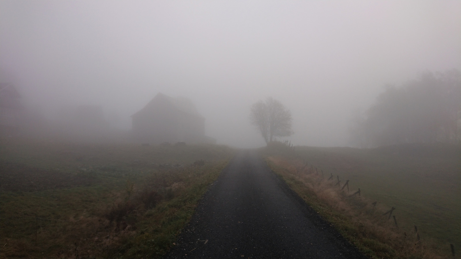
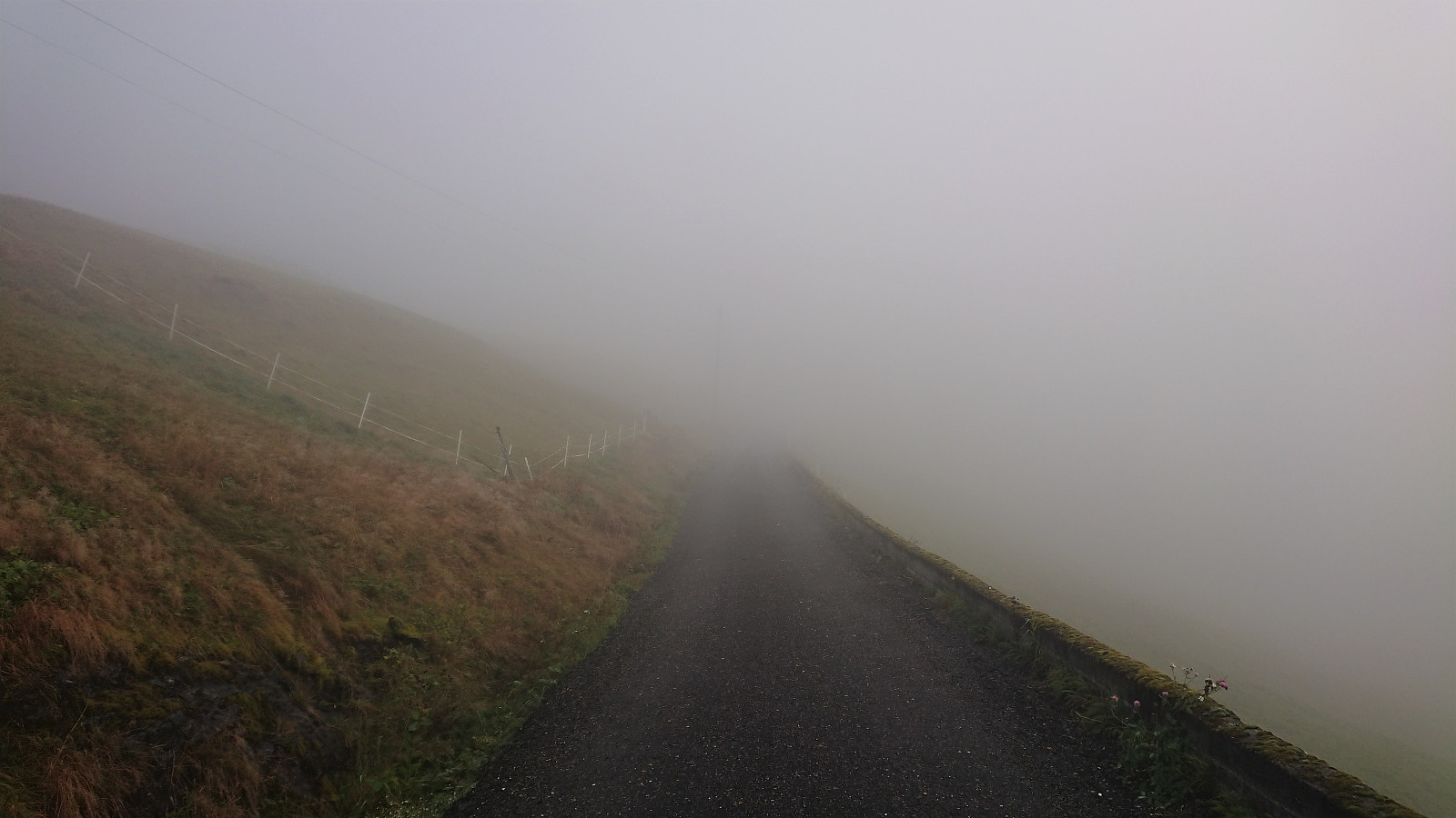
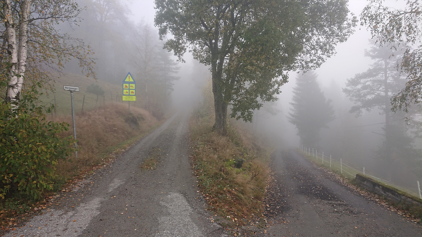
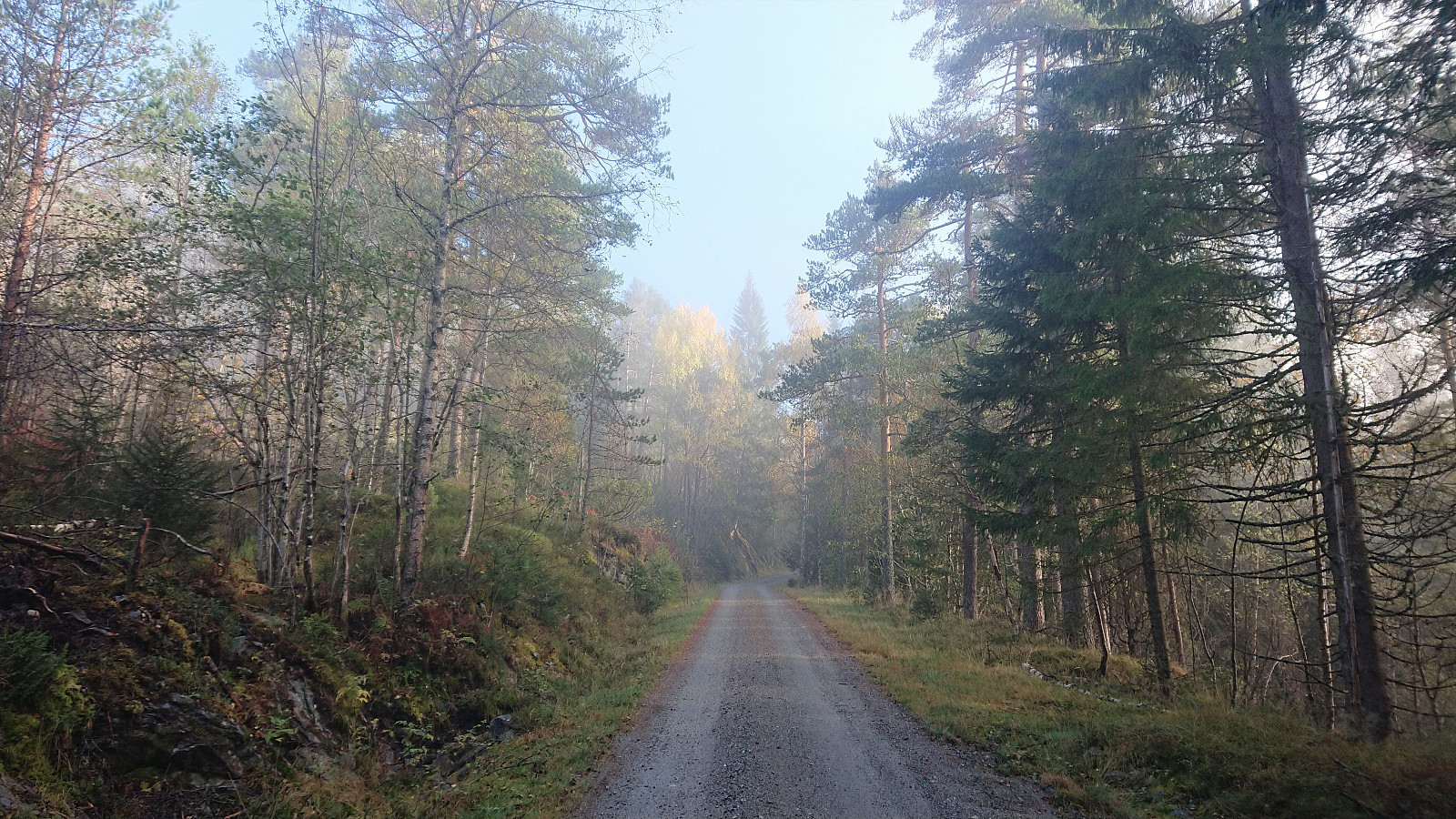
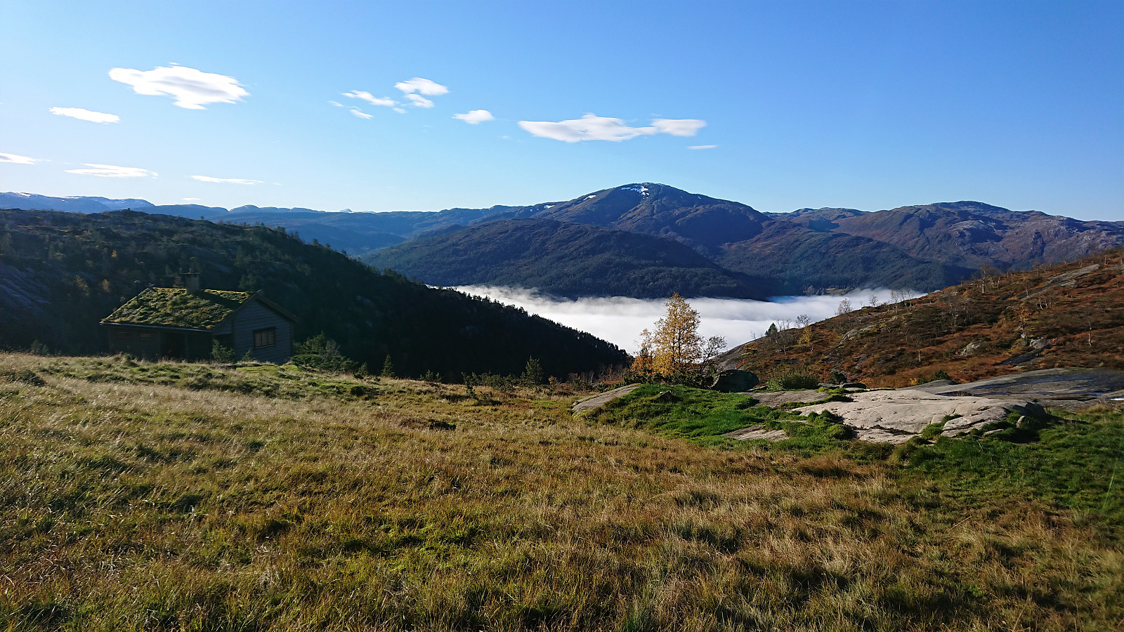
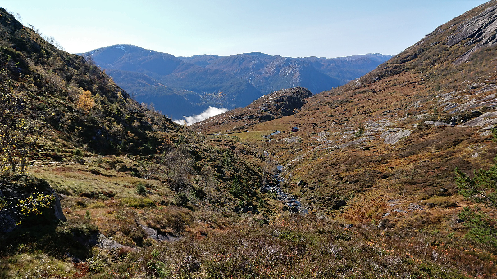
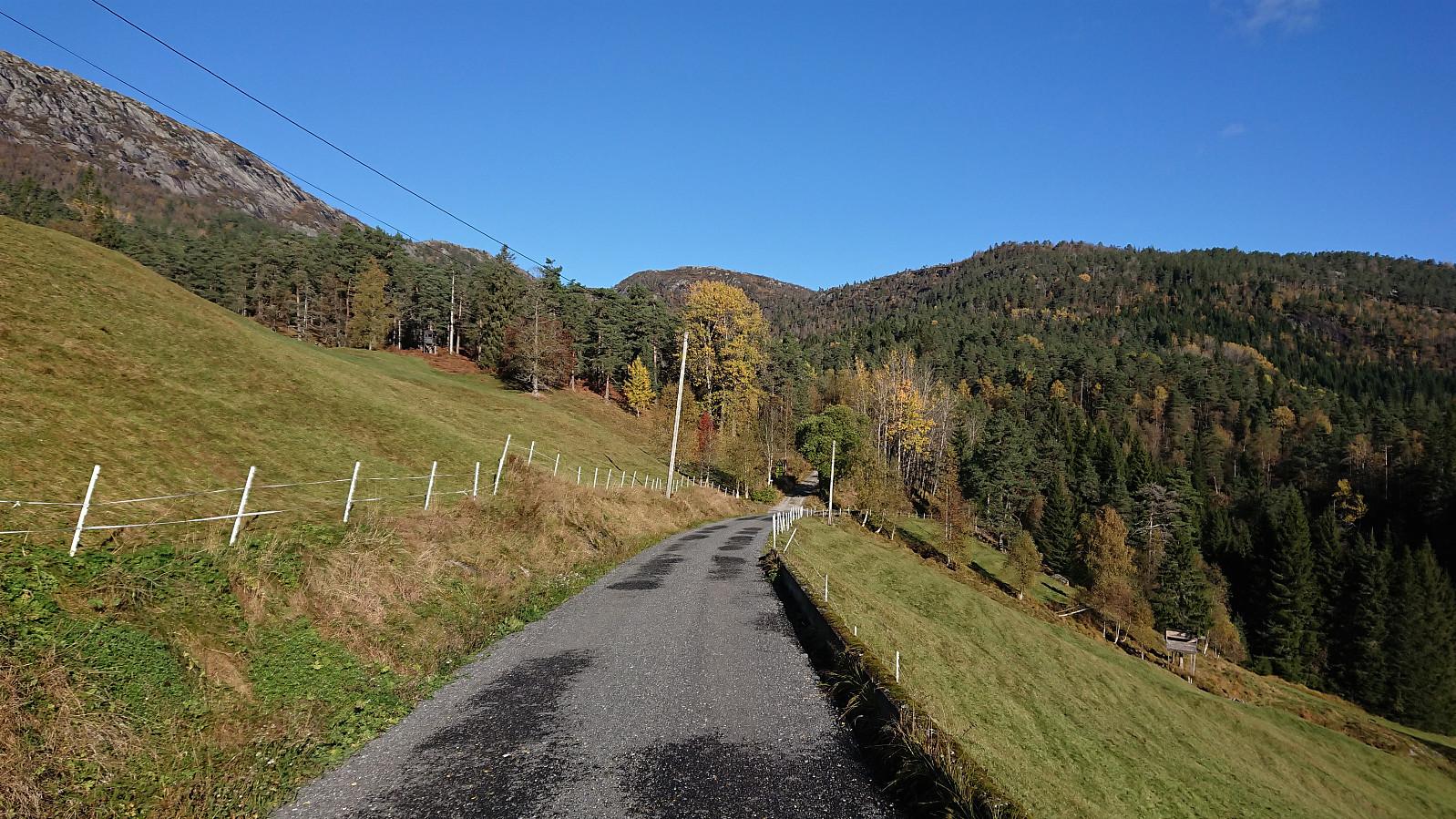
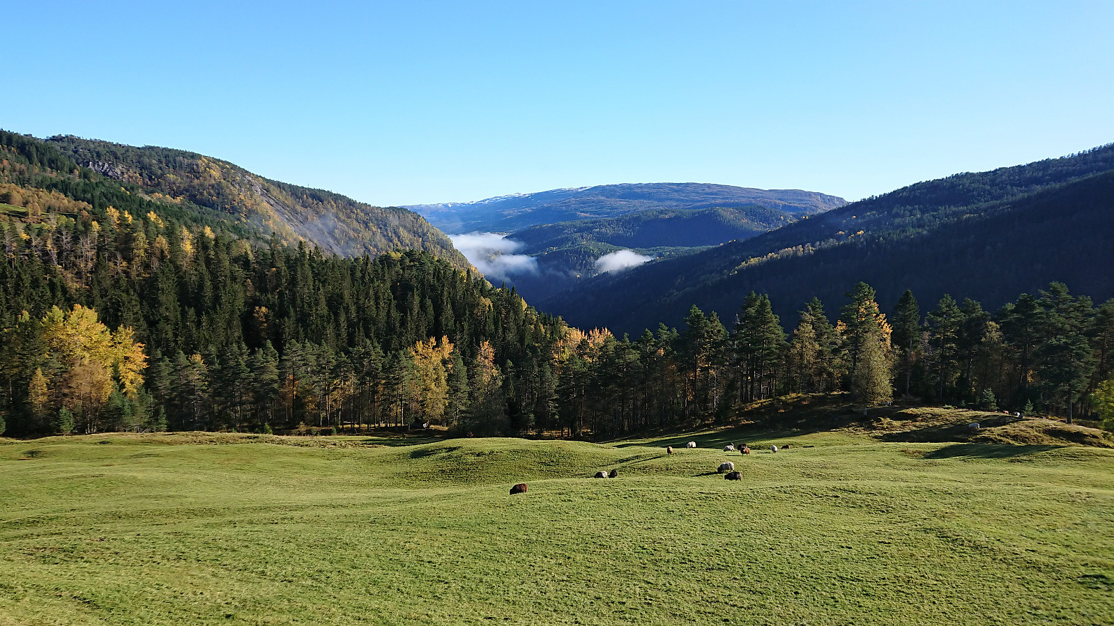
I started by taking the train to Evanger and in increasingly thicker fog followed the paved road up to Elge. Thankfully the fog started lifting, or more precisely I had climbed above it, shortly after I headed northeast on a service road when the road forked east of Elge. The service road had the usual warning sign of low quality, but as far as I could tell the quality of the gravel road was much better than the sign seemed to indicate.
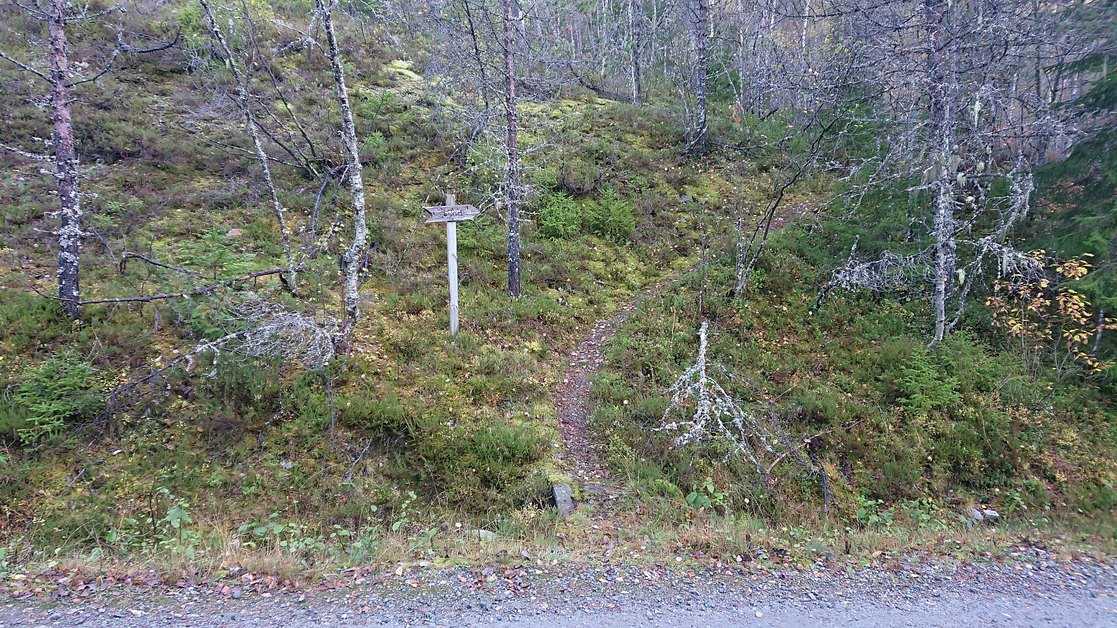
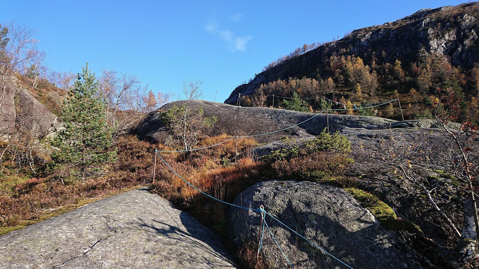
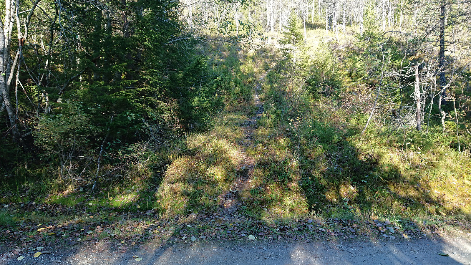
After 4-5 km (from Evanger), I arrived at the marked trailhead for Skorset. (As I discovered on the descent, there are actually two trailheads only 15-20 meters from each other. The two trails quickly merge though.) The trail itself was not marked, but it was overall of good quality and easy to follow. Some of the potentially slippery sections under wet or icy conditions were also equipped with ropes.
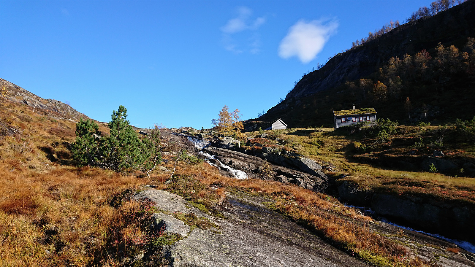
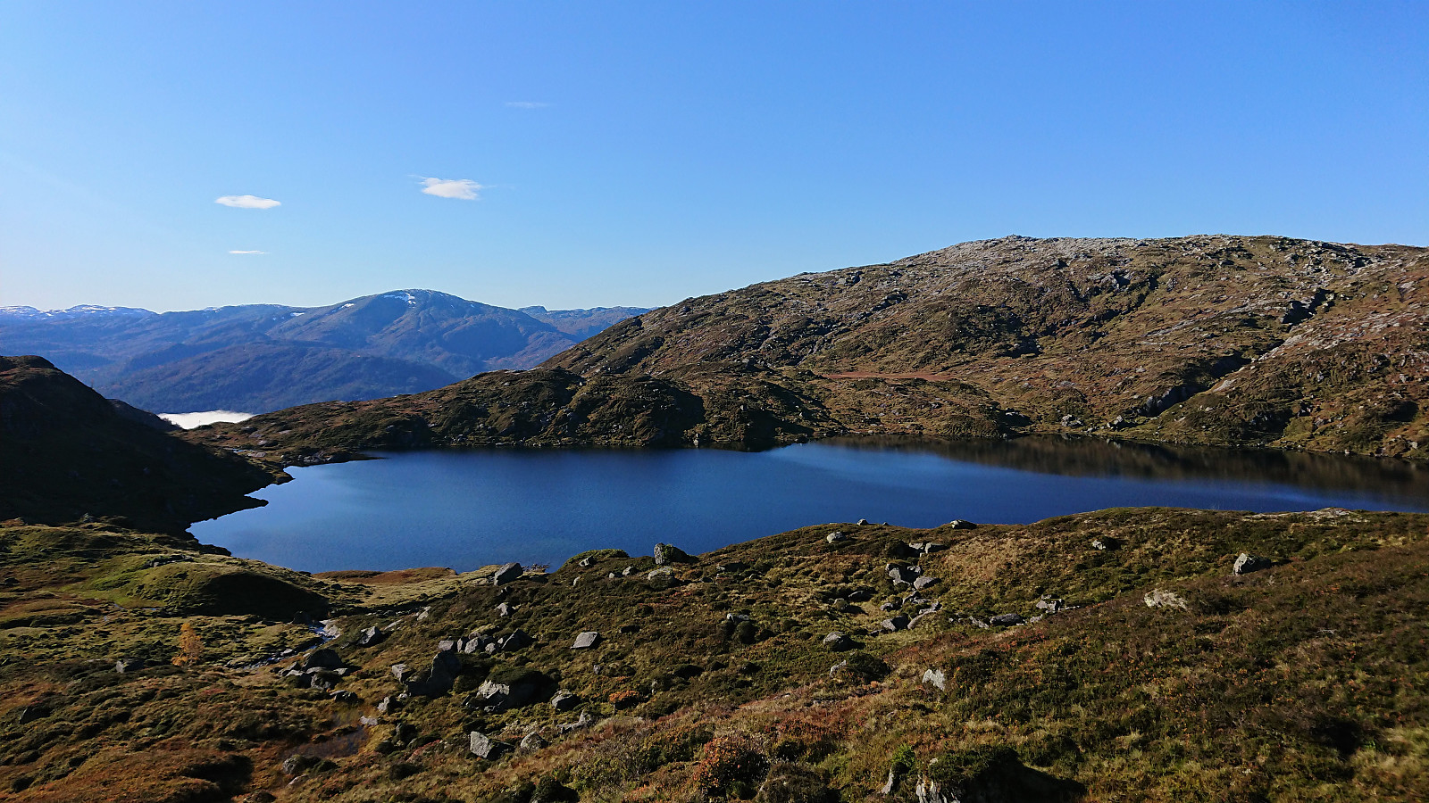
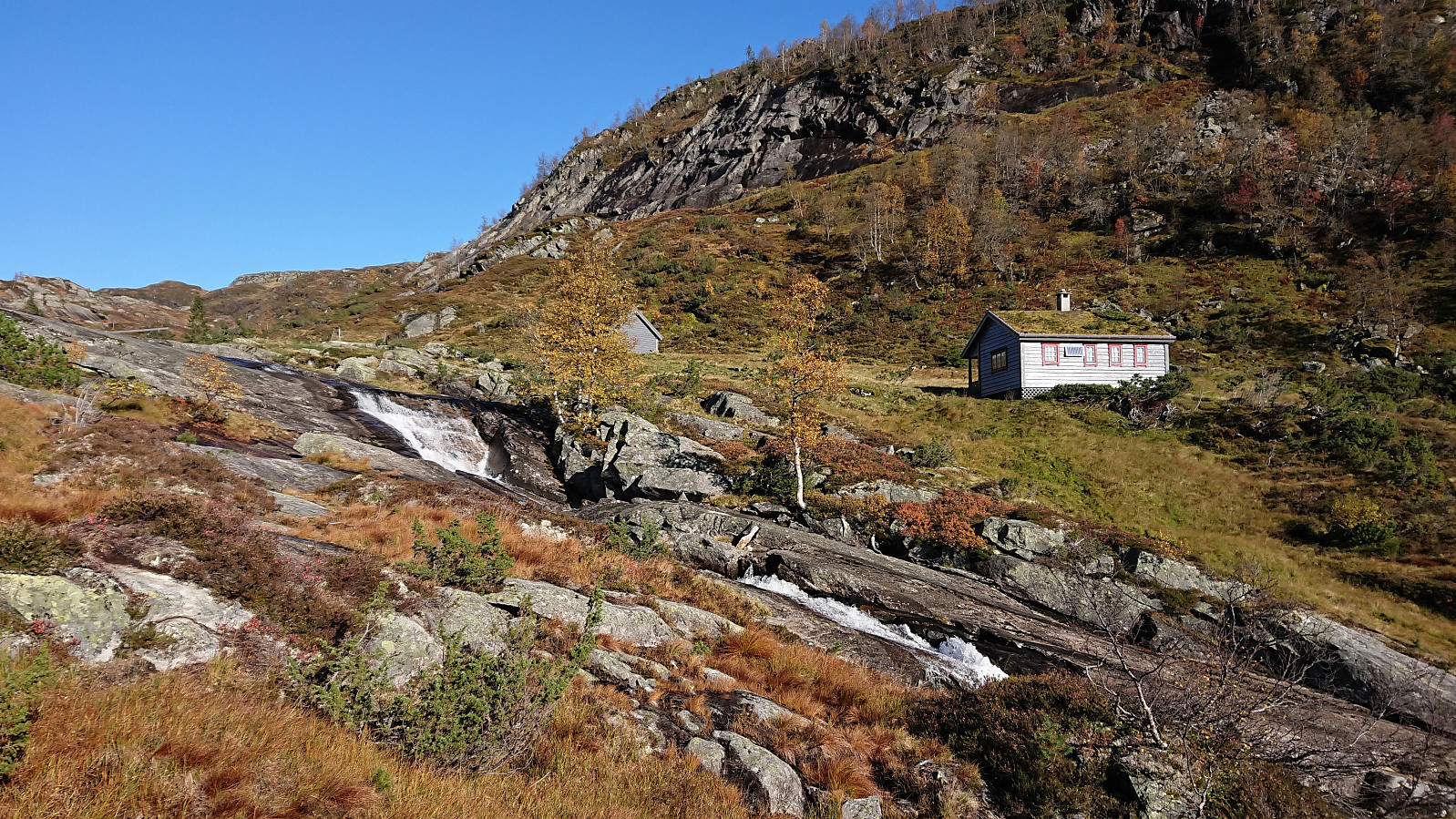
I shortly arrived at the beautiful location of Muggåsstølen, in the end reached by crossing the river via a small bridge. The trail quality was not the best in this area, rather wet and weak, but as I could spot the buildings at Muggåsstølen the direction was still obvious.
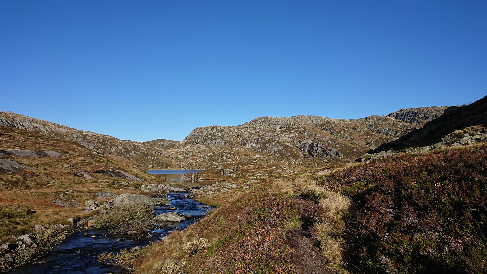
The trail continued north from Muggåsstølen, again with a short section of poor trail quality. This time mainly due to mud. However, it quickly improved, and most of the trail up to Skorset was easy to follow and of good quality. Still no trail markers. But as there is only one trail they were not really needed anyway.
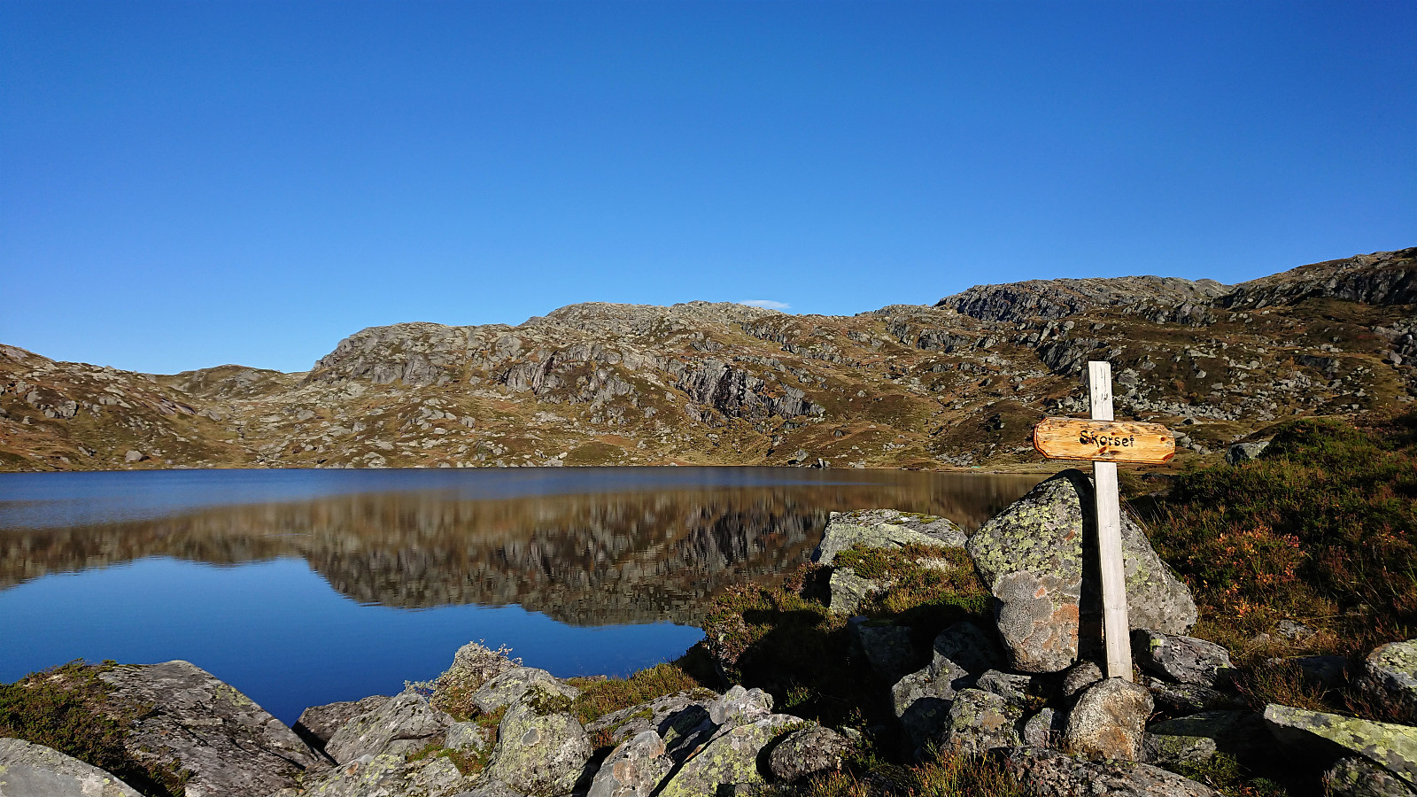
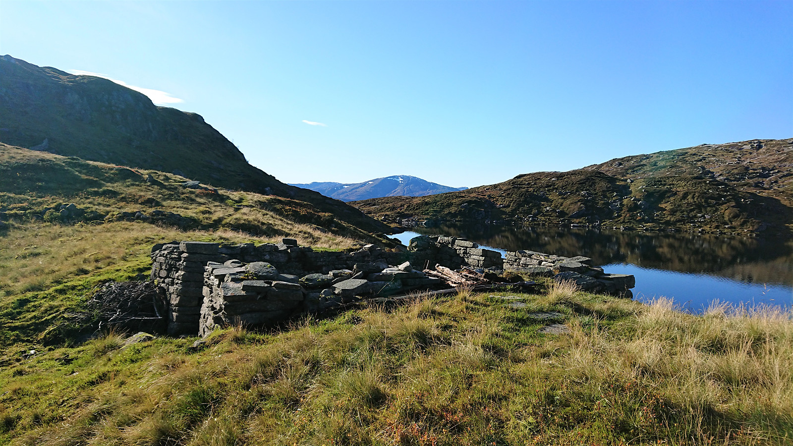
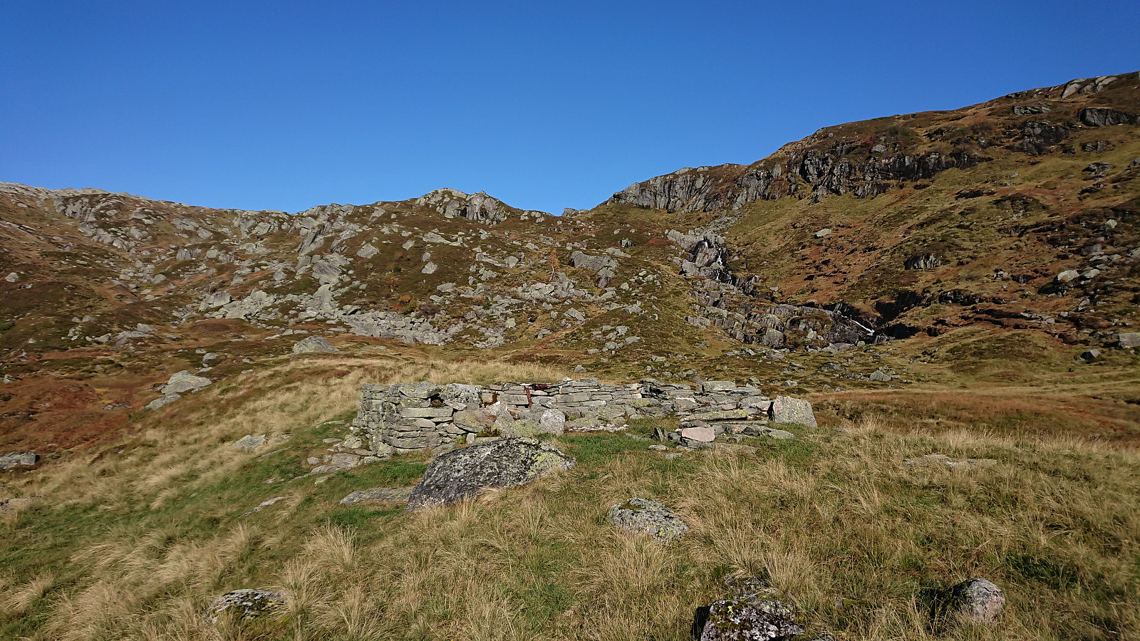
At Skorsetvatnet the trail came to an end at the remains of an old building marked as Skorset on the map. A sign with Skorset however showed up earlier, just as I reached the lake. I decided to add the new Skorset PB-element at the location of the ruin, as this is where the trail ends and probably a natural turning point for most hikers.
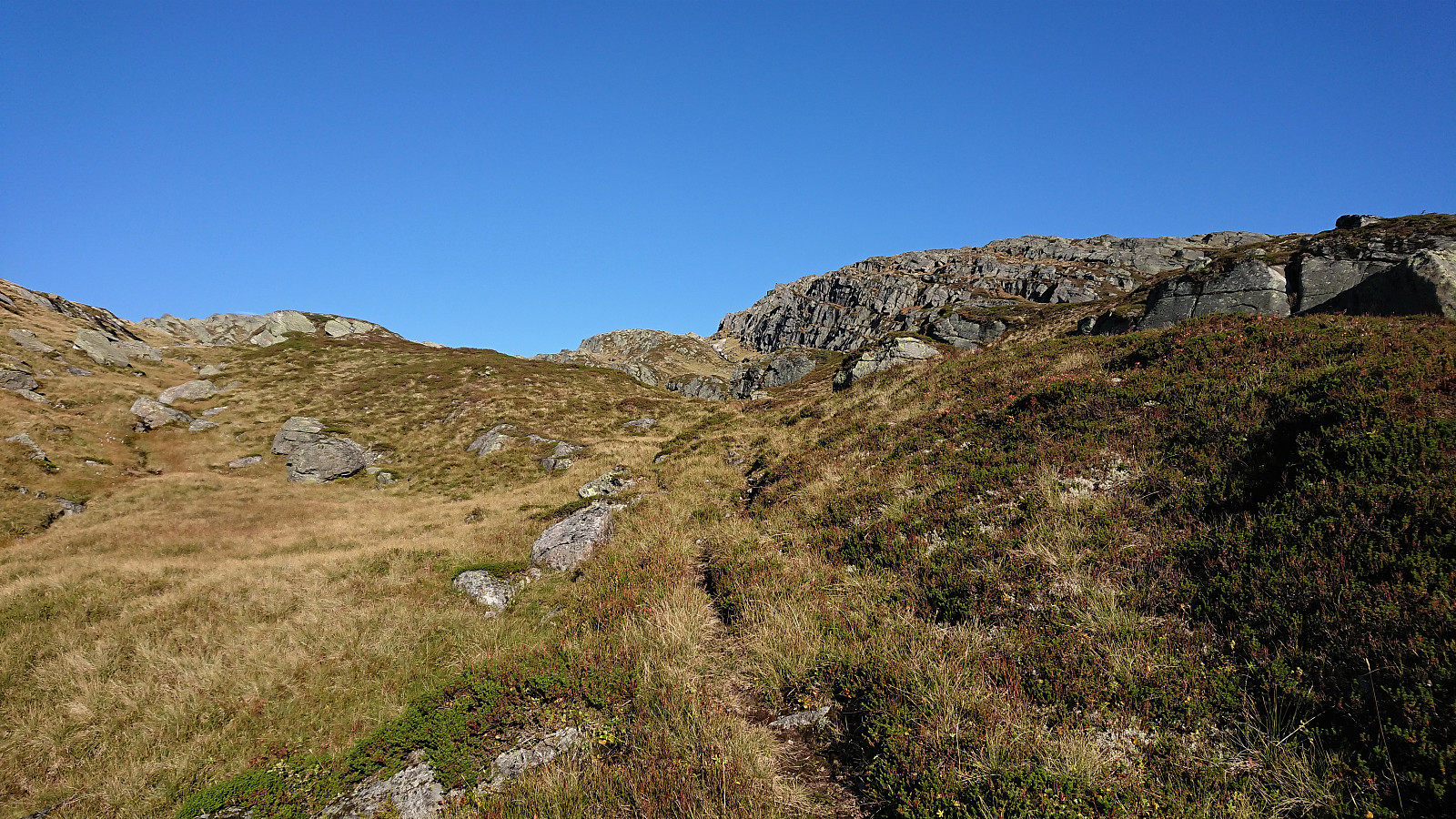
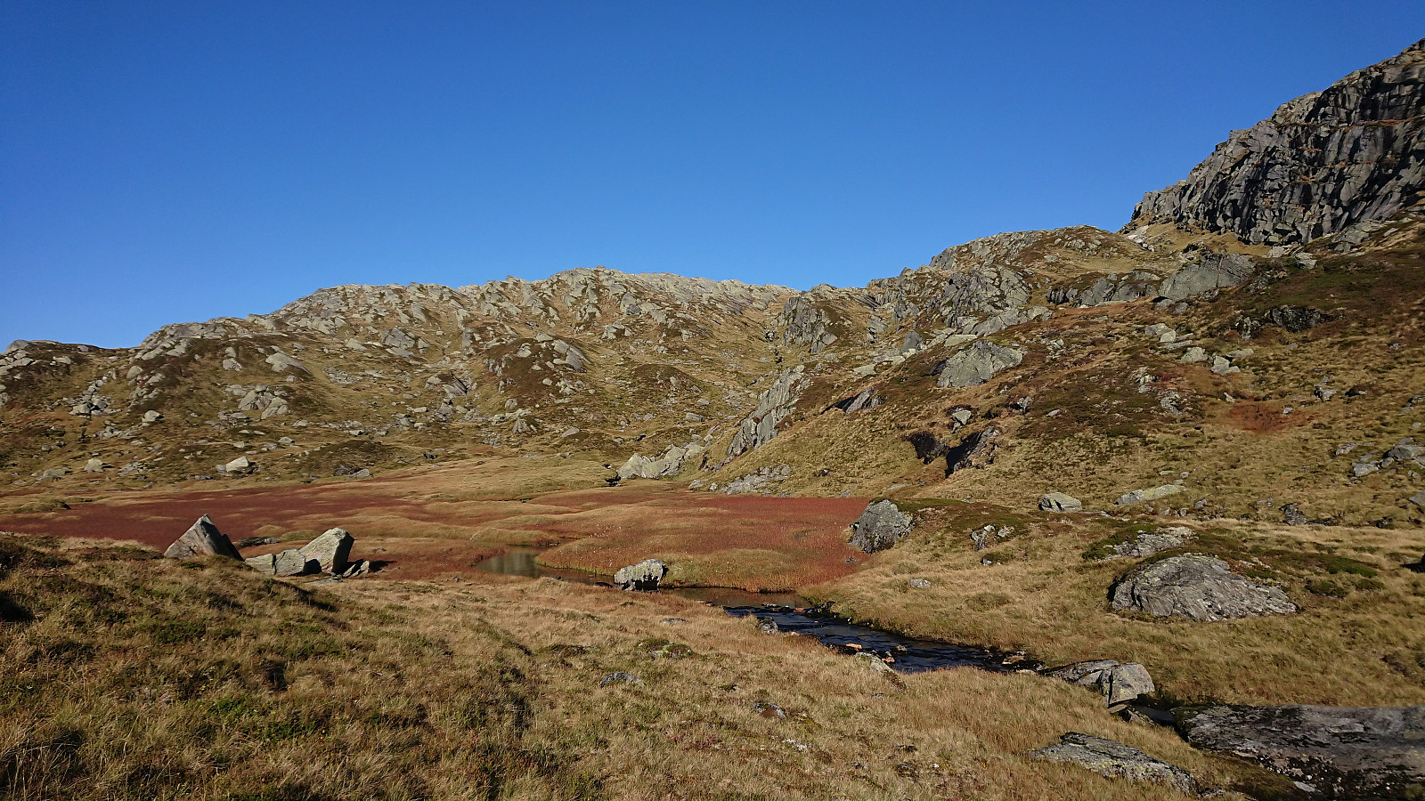
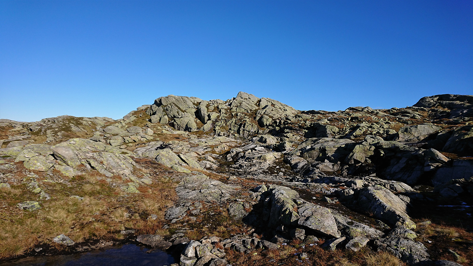
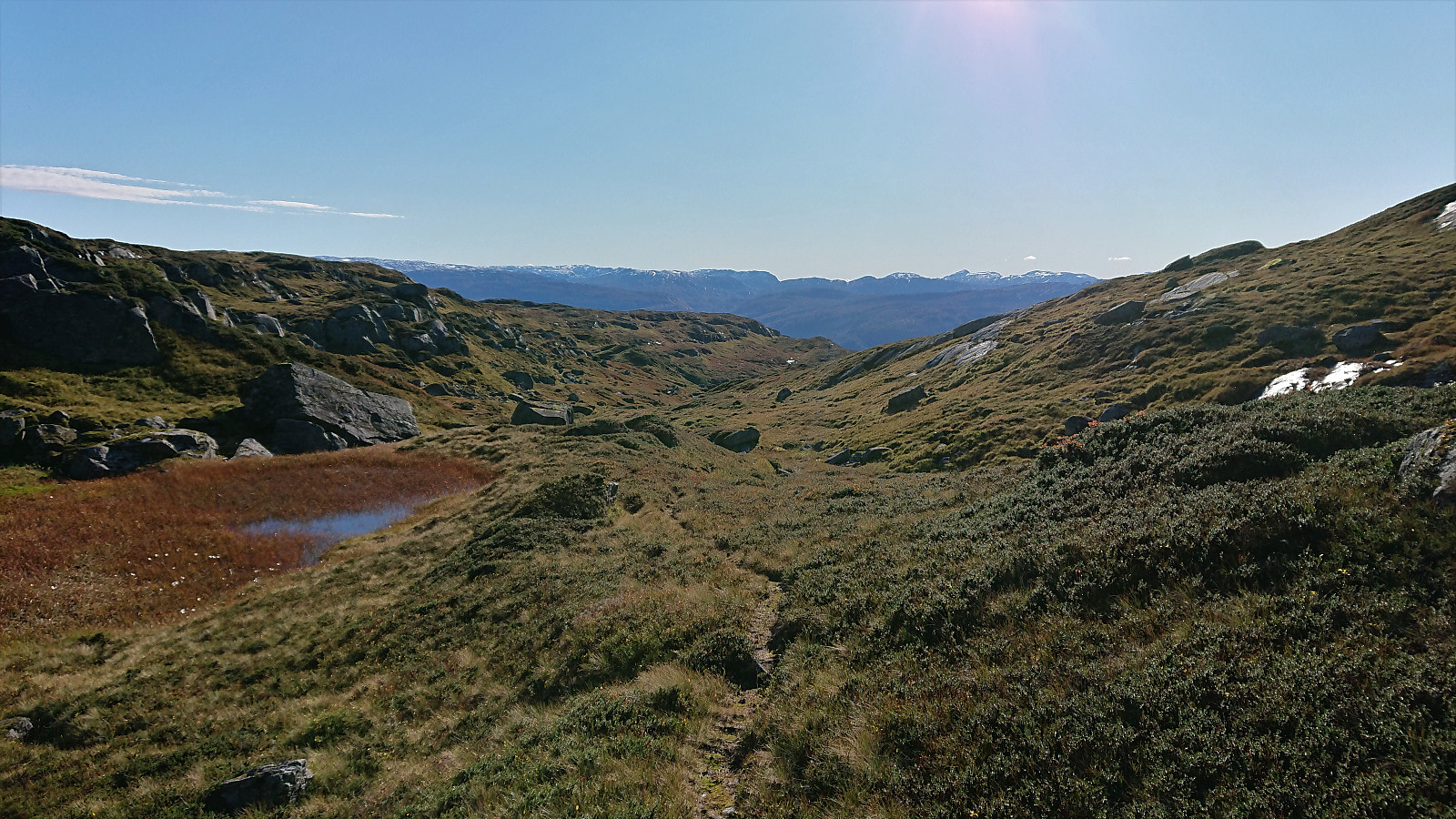
From Skorset I continued off-trail in the direction of Budalshovden. Though I came across several trails/animal tracks that I partly followed, sometimes for longer periods, but they always ended up disappearing without any obvious hints of where I should head next. The direction was now obvious anyway and the trail/track not really needed.
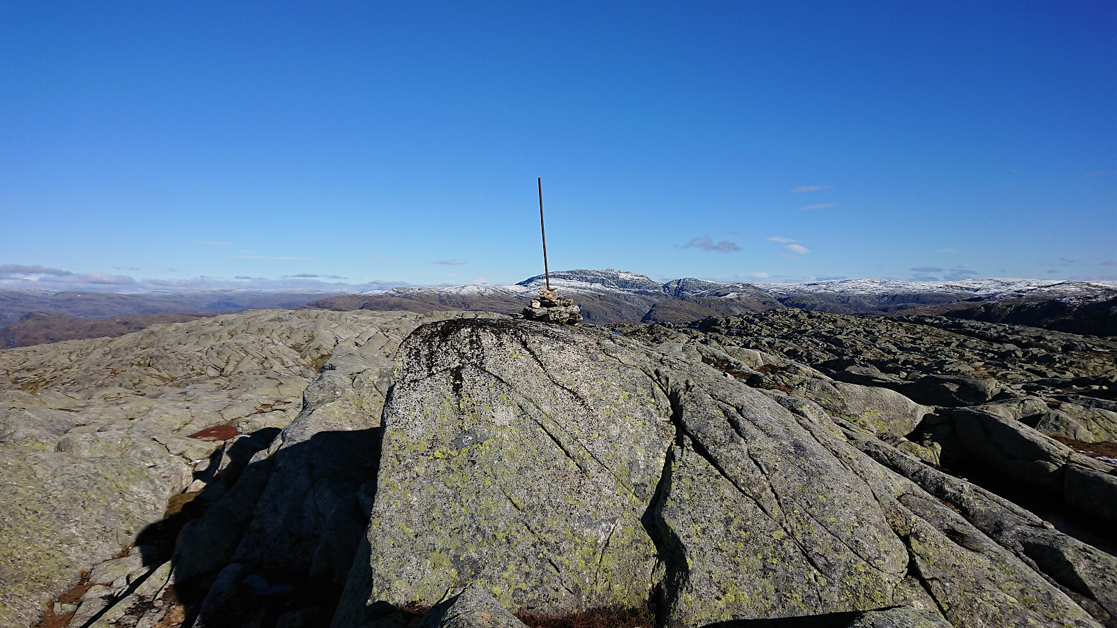
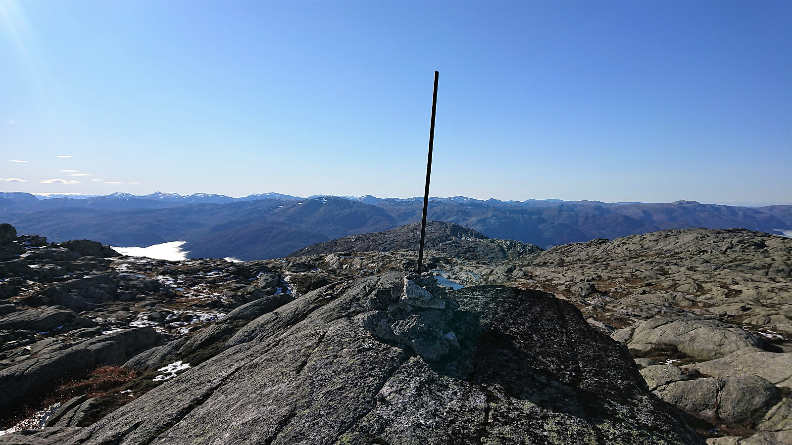
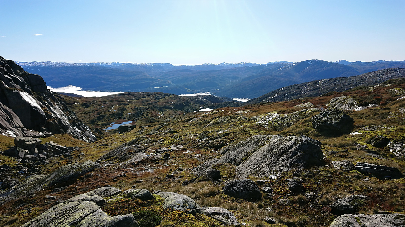
I followed the river north, before locating a gap in the steep cliff band to my right, allowing me to ascend to the final plateau southwest of the summit. From there it was straightforward to reach the summit, marked by a small cairn with much larger metal rod.
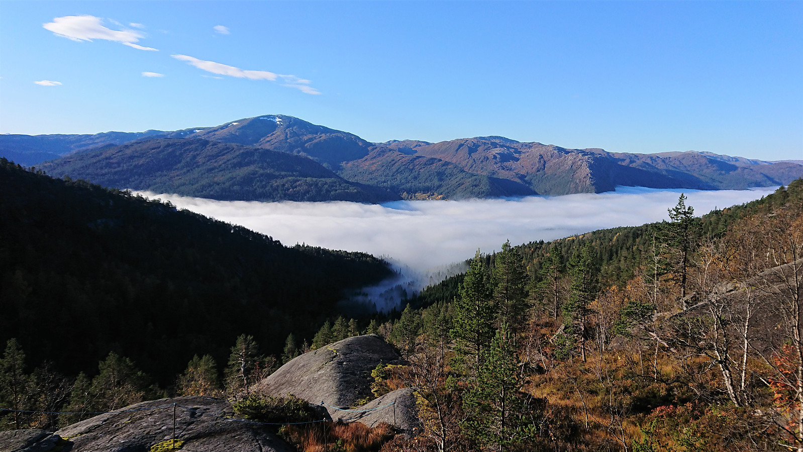
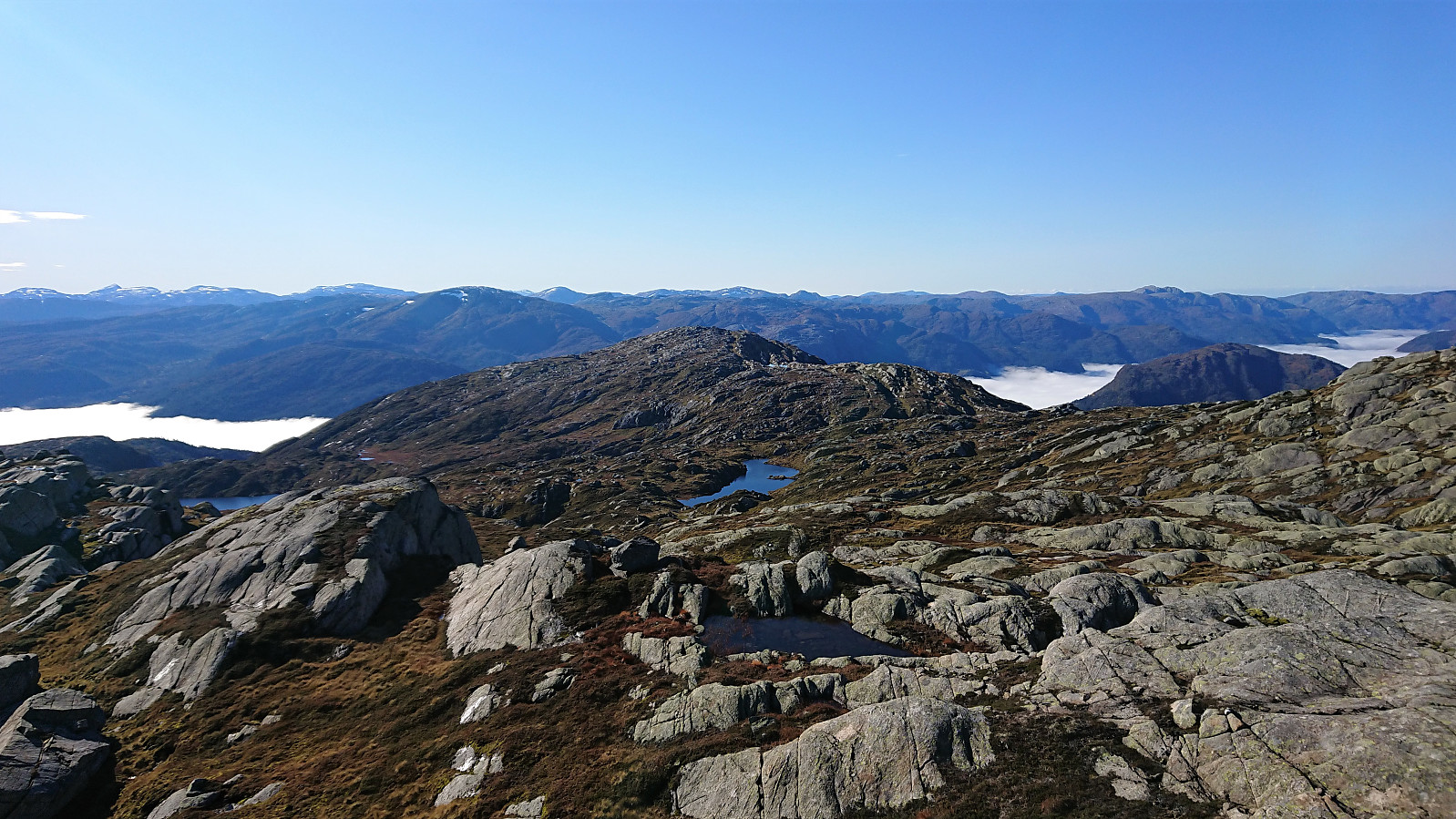
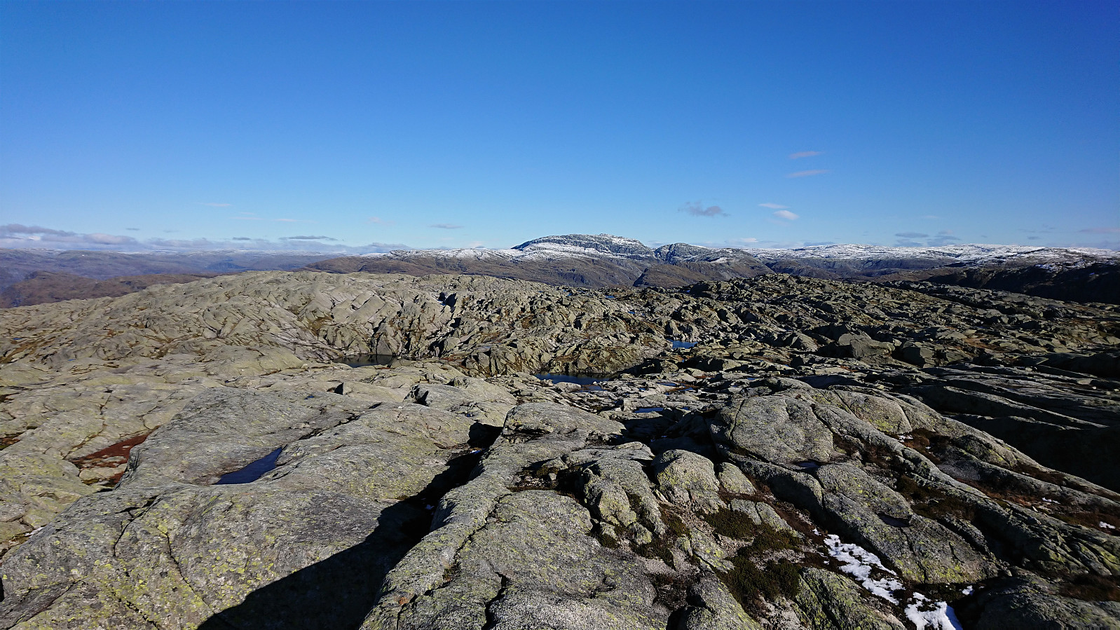
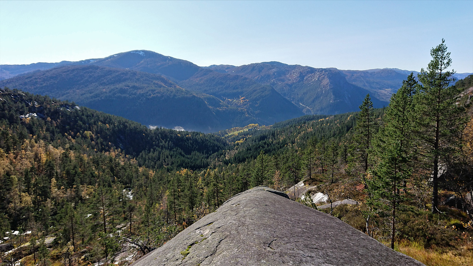
Excellent panoramic views from the summit. But due to cold winds at the summit, I postponed the planned lunch and instead started my descent, following pretty much the same route as for the ascent.
In summary, an excellent hike that can be highly recommended. Especially the visit of Muggåsstølen and its unique location. Continuing to Skorset is probably something most hikers will enjoy as well. The off-trail ascent to Budalshovden can also be done without any real challenges, but this final section may be more of a special interest hike.
| Starttidspunkt | 11.10.2020 09:38 (UTC+01:00 ST) |
| Sluttidspunkt | 11.10.2020 15:37 (UTC+01:00 ST) |
| Totaltid | 5t 58min |
| Bevegelsestid | 5t 15min |
| Pausetid | 0t 43min |
| Snittfart totalt | 3,2km/t |
| Snittfart bevegelsestid | 3,7km/t |
| Distanse | 19,2km |
| Høydemeter | 1220m |

Kommentarer