Bjørnaknausen and Gråhorga from Kvitingsvatnet (27.09.2020)

| Startsted | Kvitingen p-plass (370moh) |
|---|---|
| Sluttsted | Kvitingen p-plass (370moh) |
| Turtype | Fjelltur |
| Turlengde | 5t 59min |
| Distanse | 21,1km |
| Høydemeter | 1234m |
| GPS |
|
| Bestigninger | Bjørnaknausen (1118moh) | 27.09.2020 |
|---|---|---|
| Gråhorga (1069moh) | 27.09.2020 | |
| Andre besøkte PBE'er | Kvitingen p-plass (371moh) | 27.09.2020 |
Bjørnaknausen and Gråhorga from Kvitingsvatnet
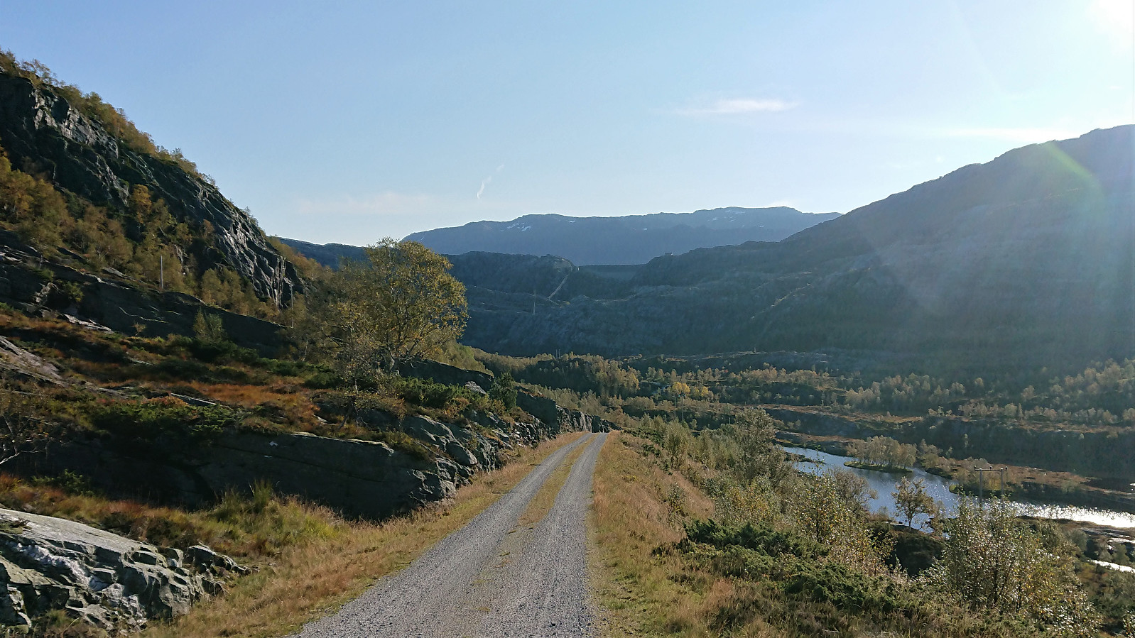
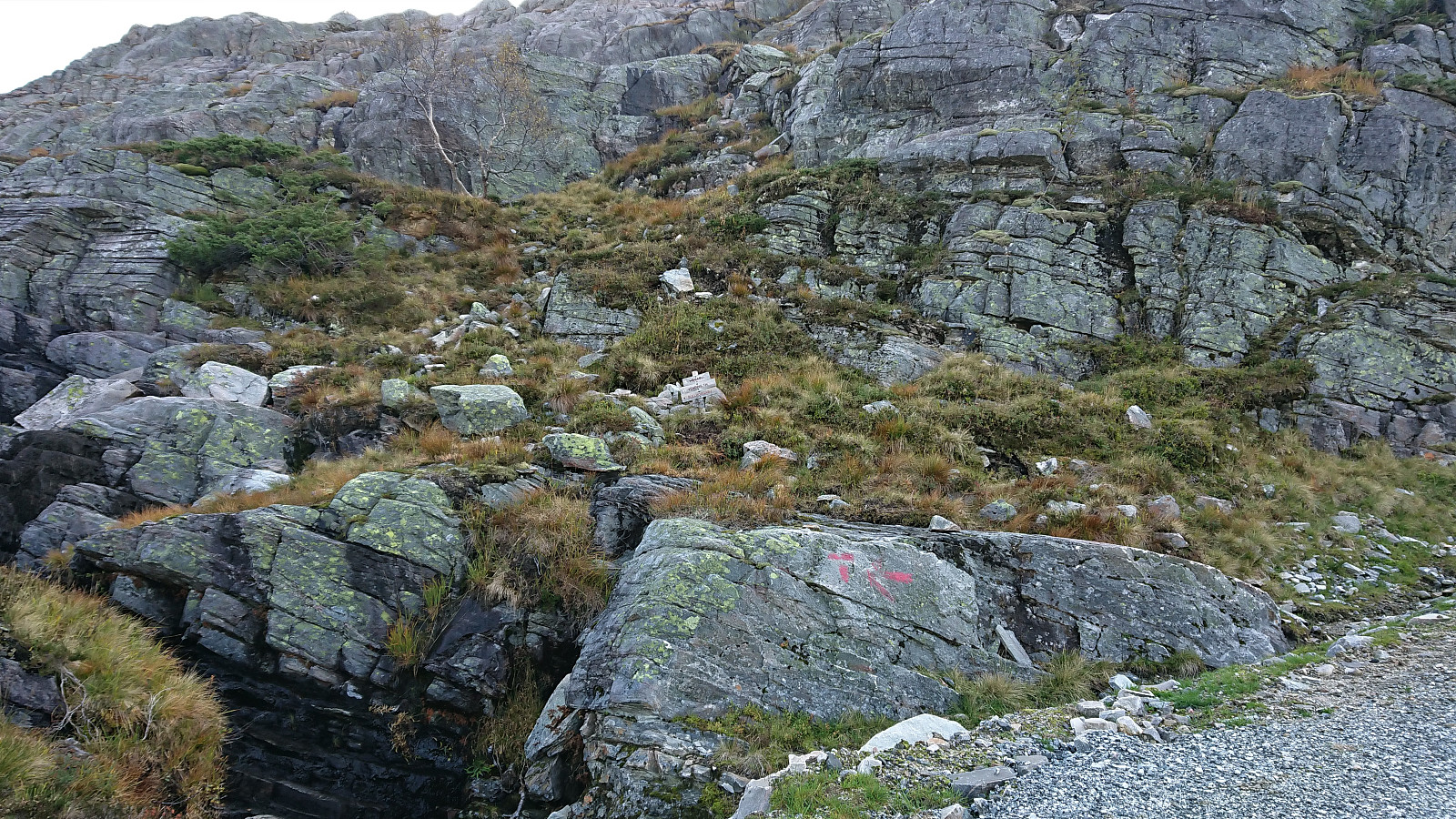
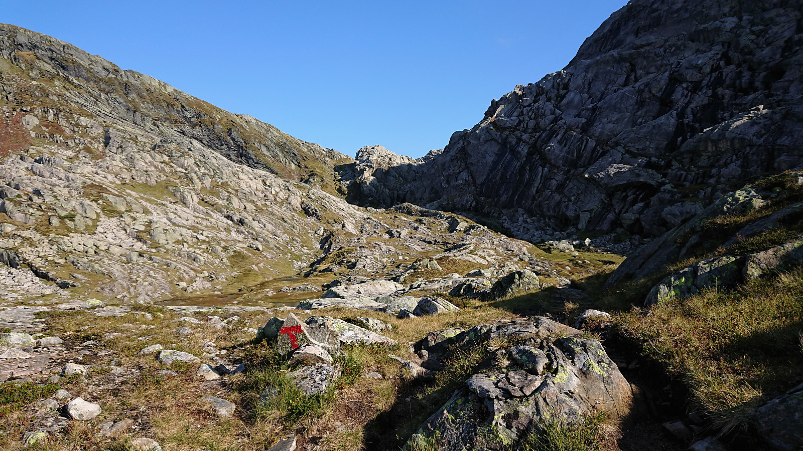
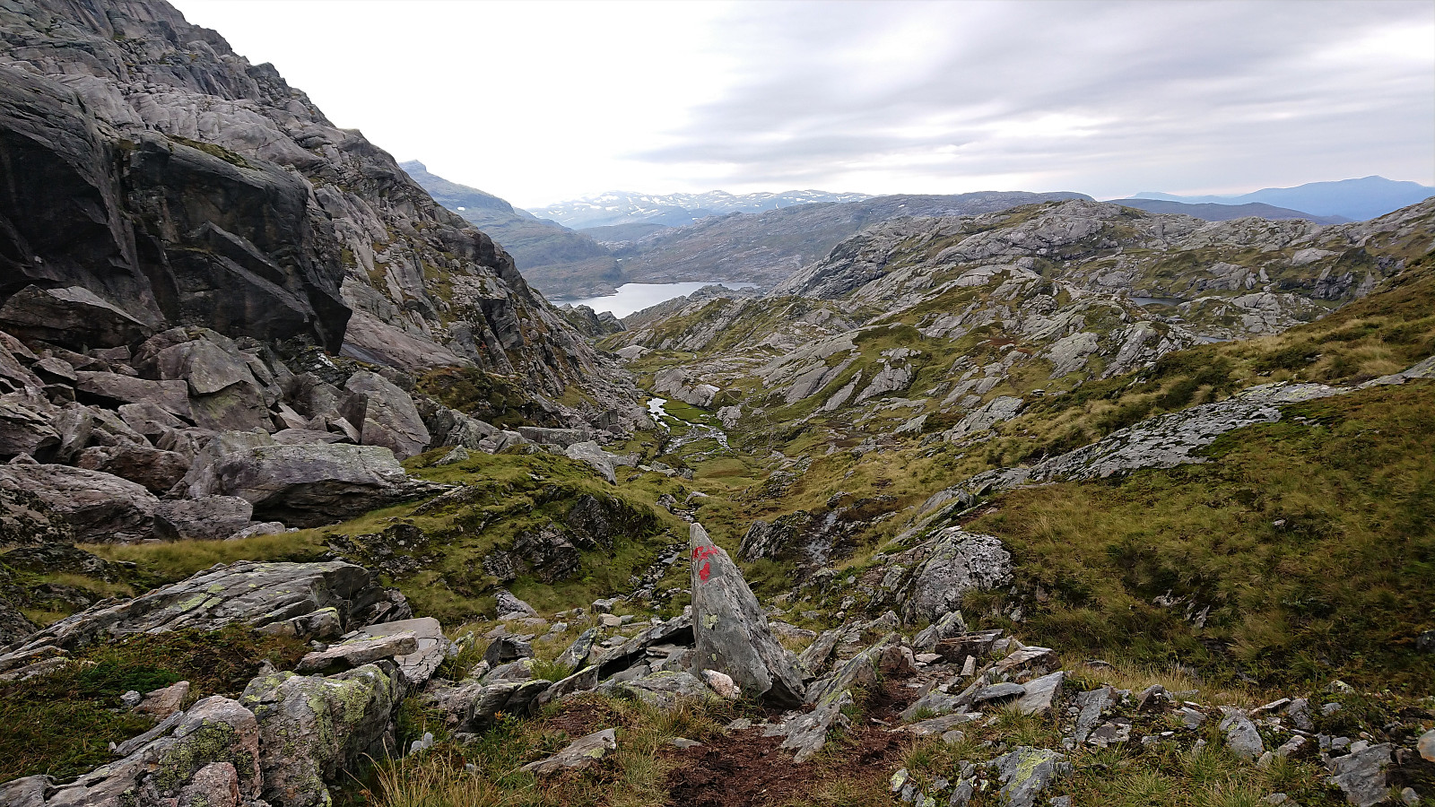
We parked at Kvitingen p-plass and, after paying the 50 kr parking fee, followed the gravel road towards Holmavatnet. When reaching the last bend in the road before the road’s final climb to the large dam at Holmavatnet, we left the road and instead followed the marked trail for Vending, Høgabu and Gullhorgabu. The trail was marked with red T's and overall easy to follow.
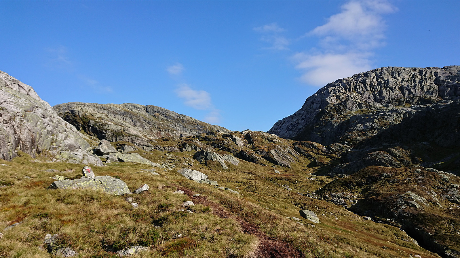
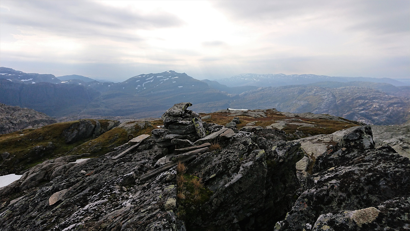
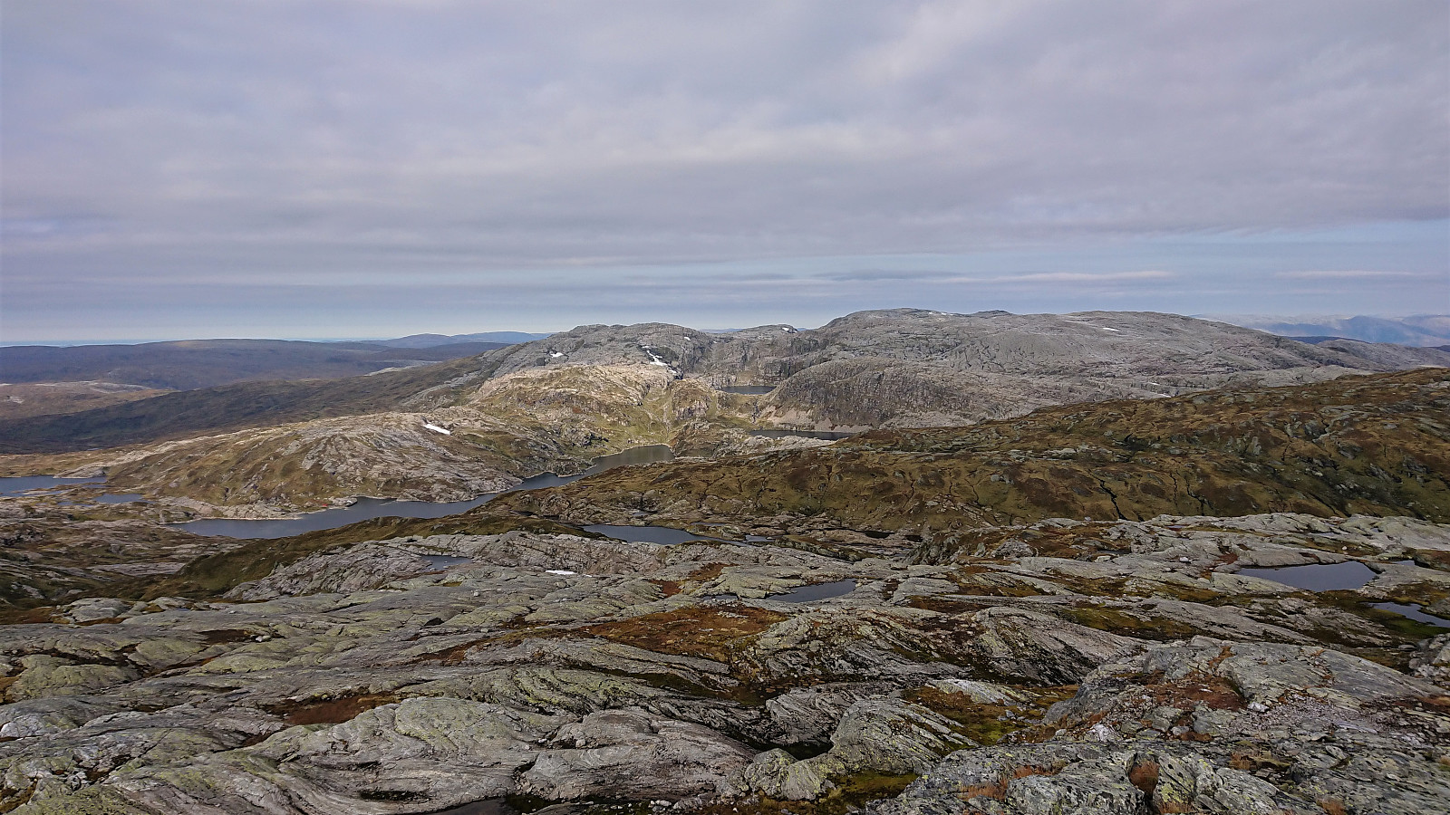
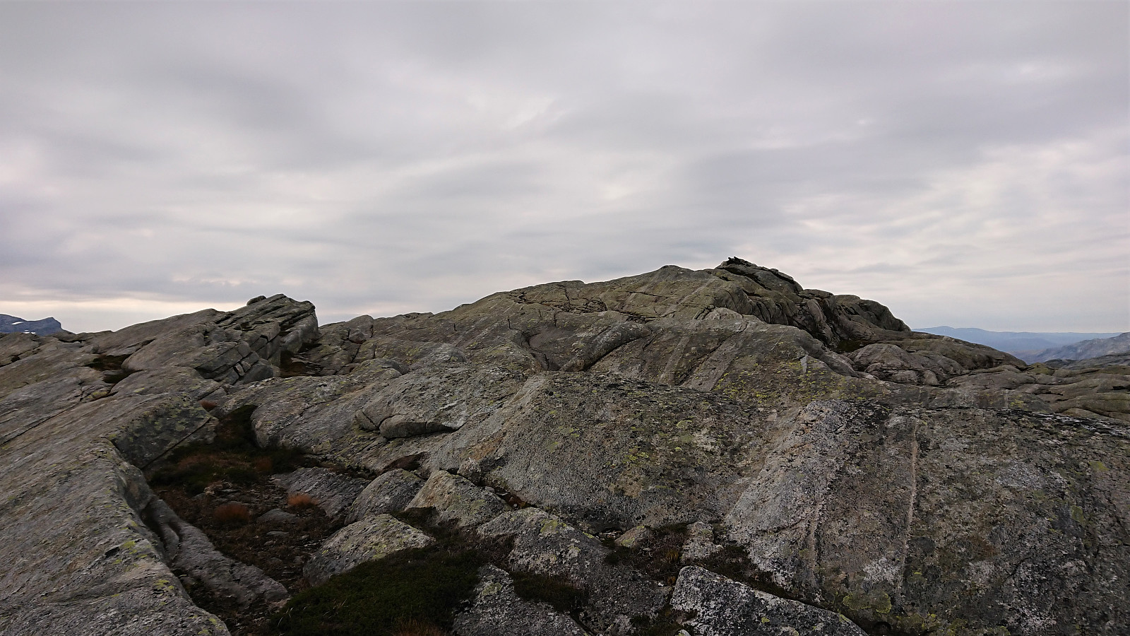
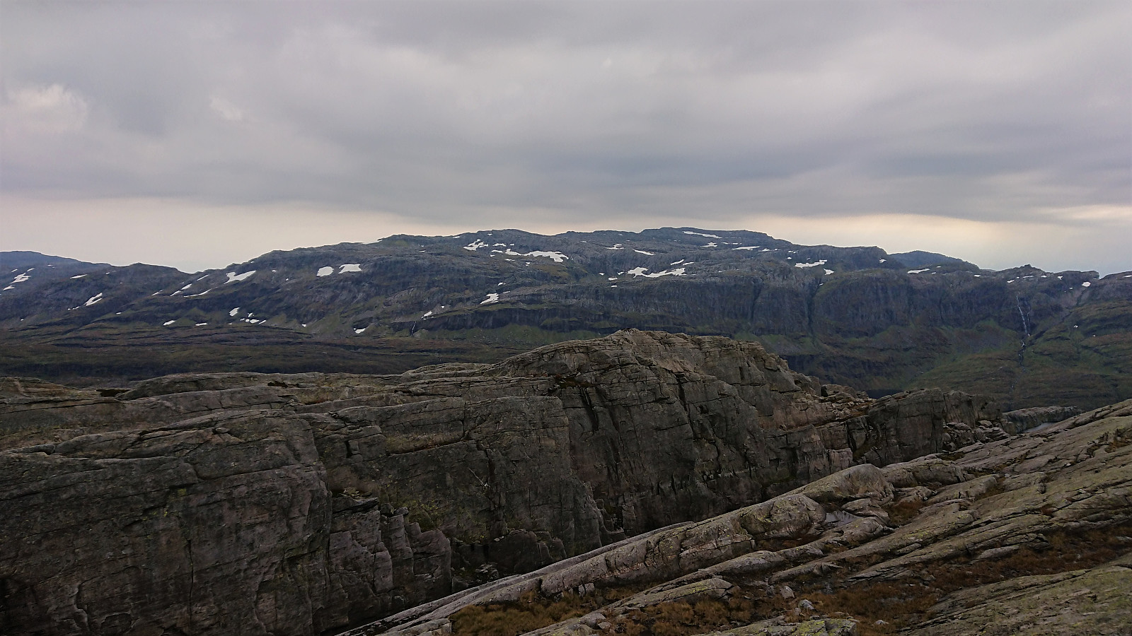
Upon reaching Trongasmogtjørna, the trail forked and we continued northeast on the trail to Vending. We did not stay on this trail for very long though, leaving it at the top of Austra Trongasmoget and from there heading off-trail to the summit of Bjørnaknausen. The summit was reached without any difficulties, and after a couple of pictures we returned to the trail along more or less the same route.
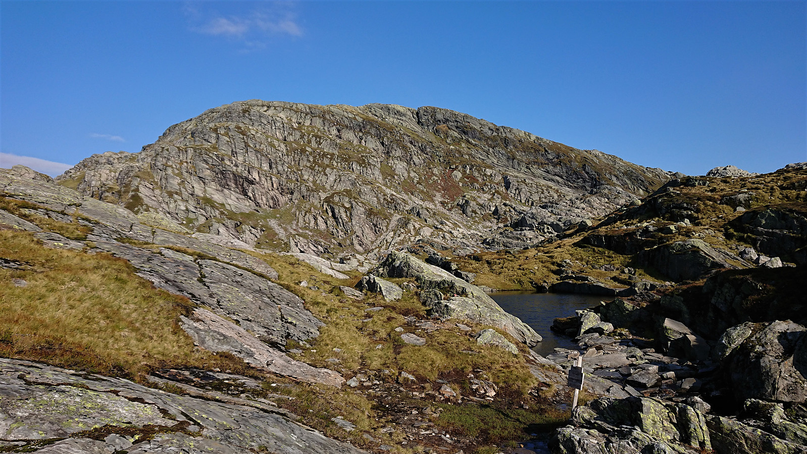
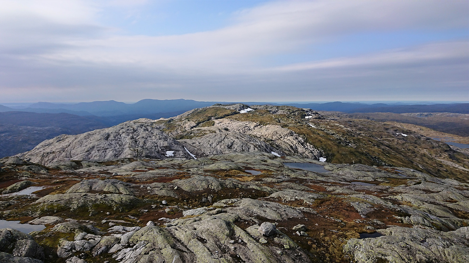
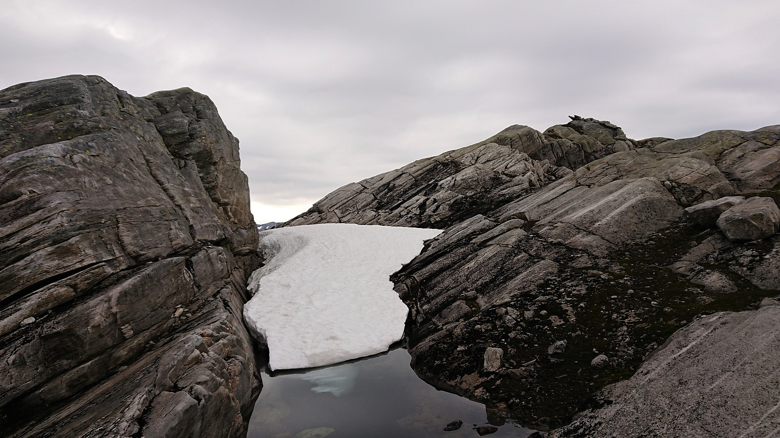
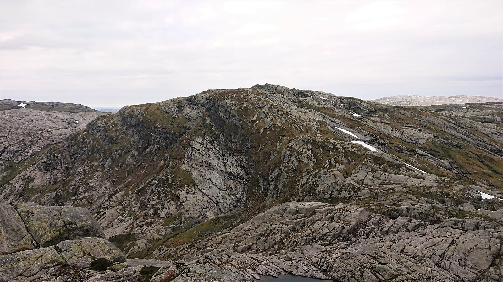
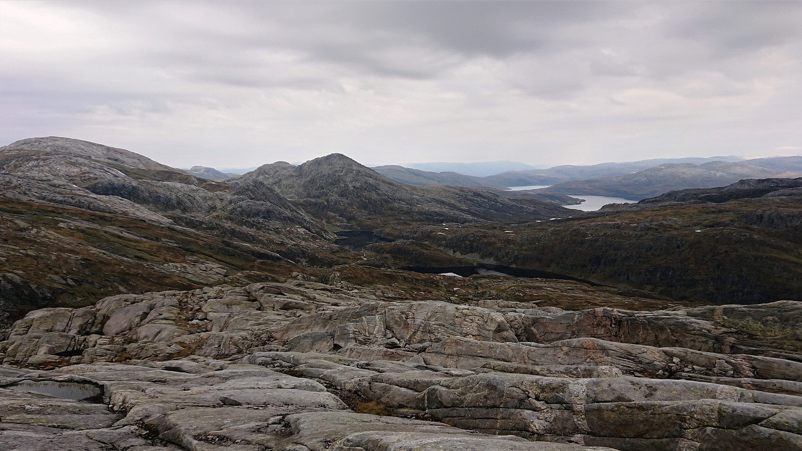
After a quick bite, I continued on my own to the summit of the nearby Gråhorga. Given that a direct ascent was not possible without climbing, I had to make the same U-shaped detour I'd seen in other trip reports, and while I initially struggled more than necessary to get onto the start of this detour, I soon found myself making good progress towards the summit.
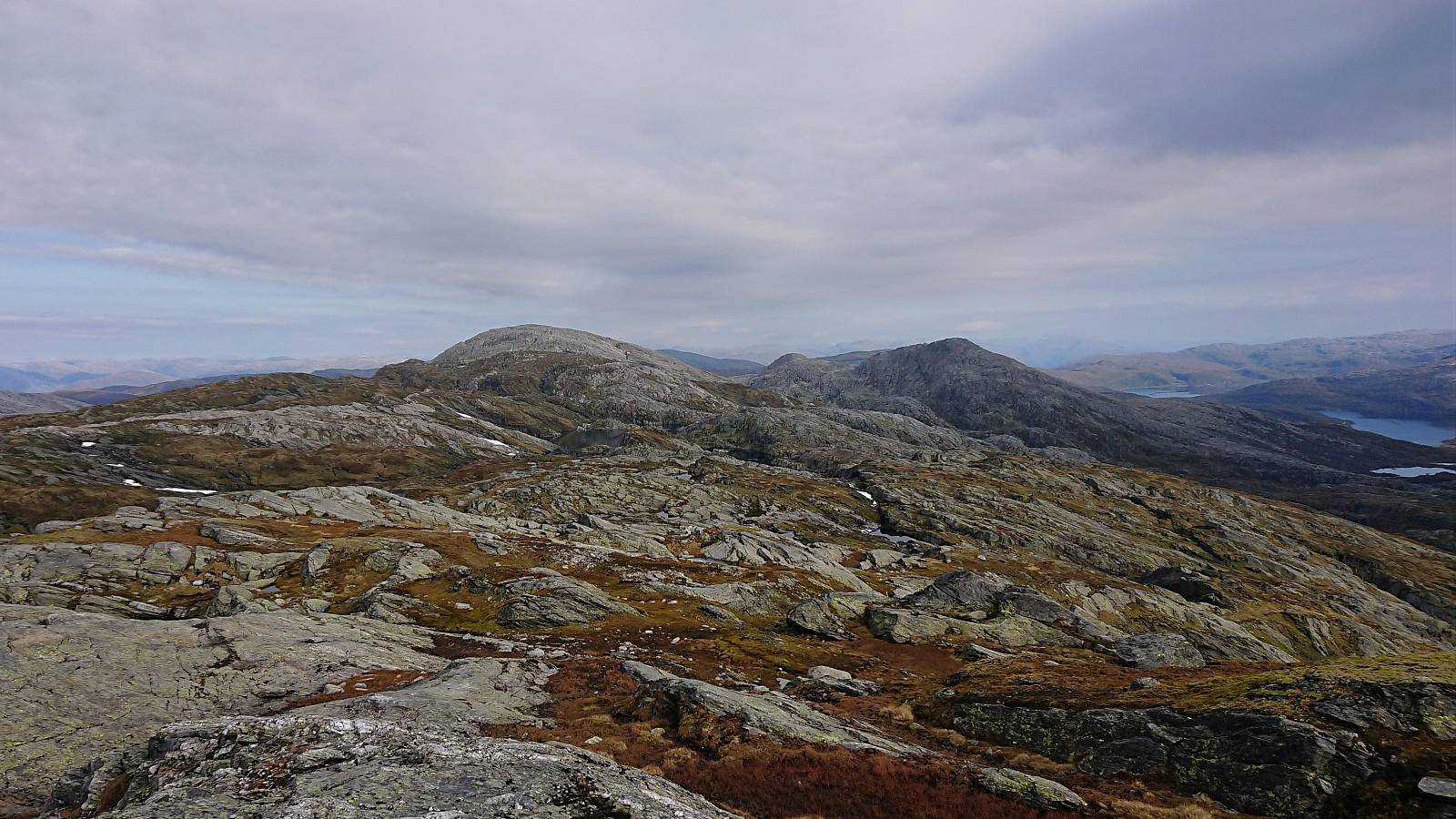
However, when I was less than 150 meters from the summit, further progress was stopped by a vertical cliff band going north-south, and I could see no option but to backtrack north and restart the final ascent from there. Rounding the steep area on the south would in any case require a much longer detour. In the end, the summit of Gråhorga was reached with just a tiny bit of very light climbing.
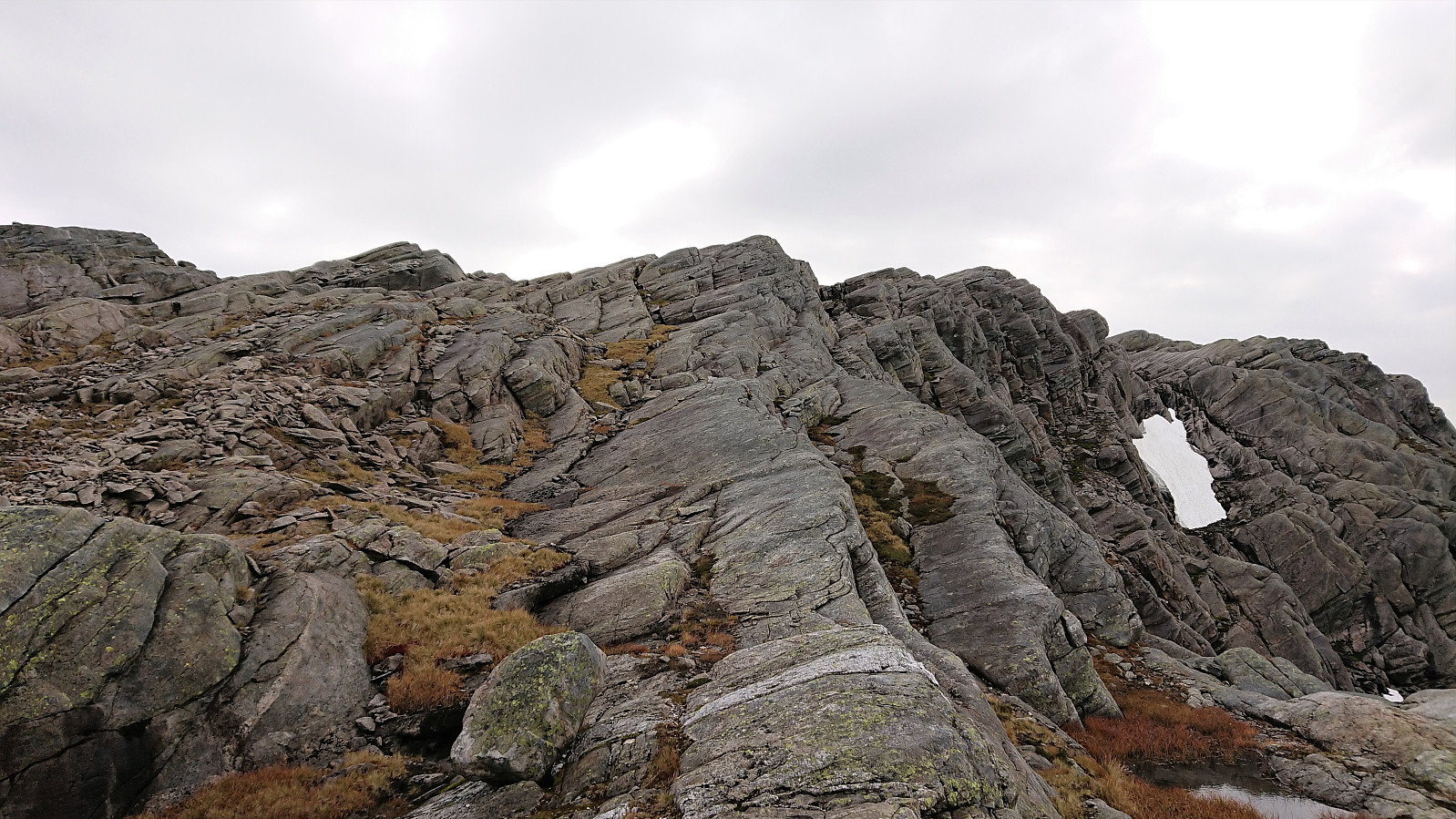
For the descent I followed pretty much same route back to the trail, and from there the same route back to the parking lot. The only exception being that I lost the trail markers shortly before getting to the gravel road, and ended up with more light climbing to get back to it. So I'd recommend following the ascent route for the descent as well.
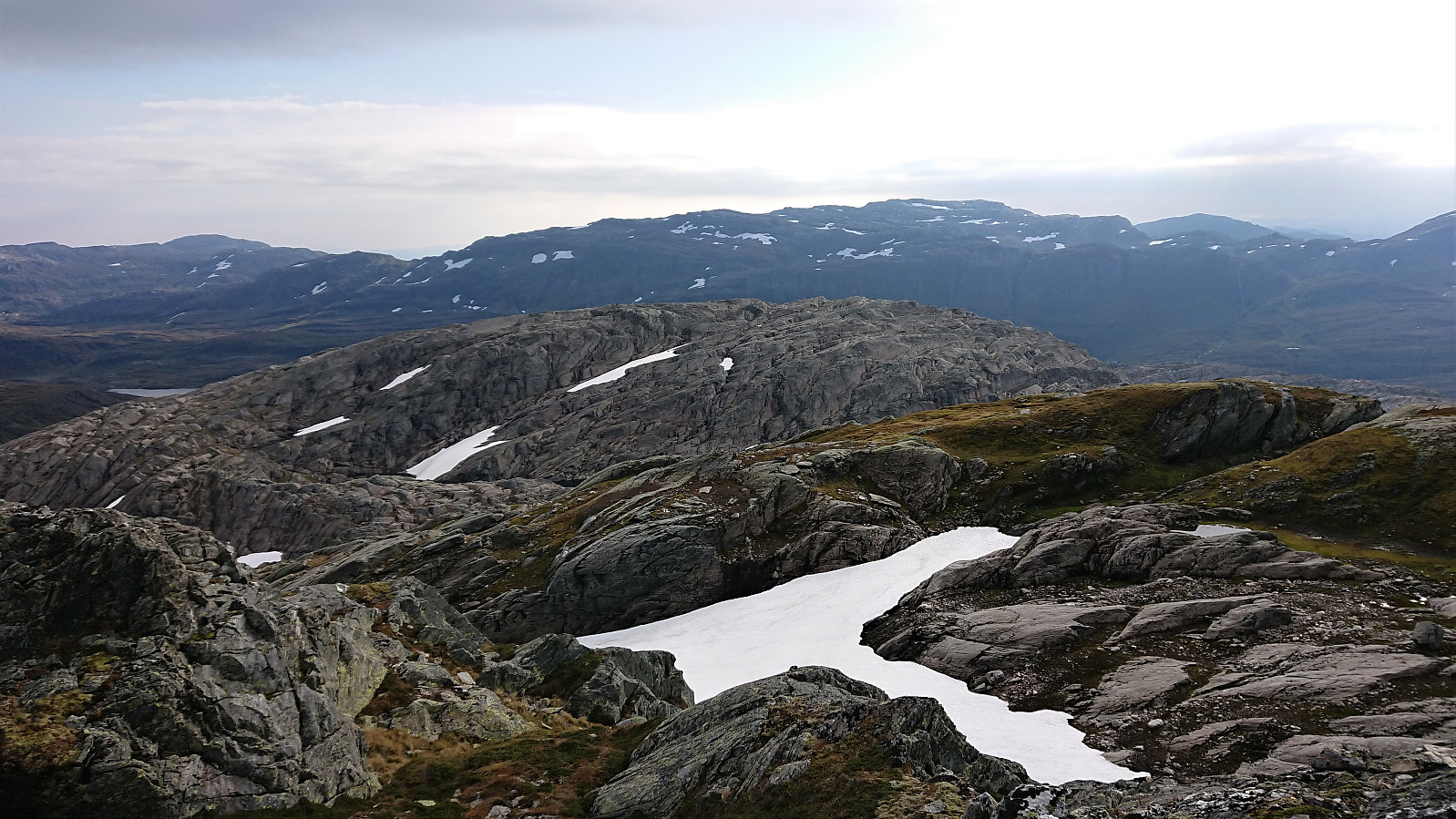
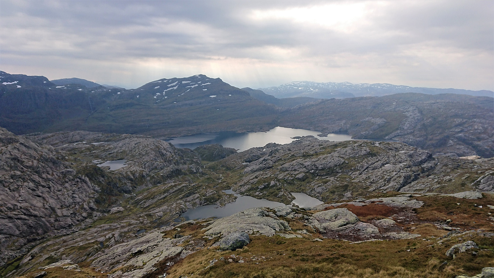
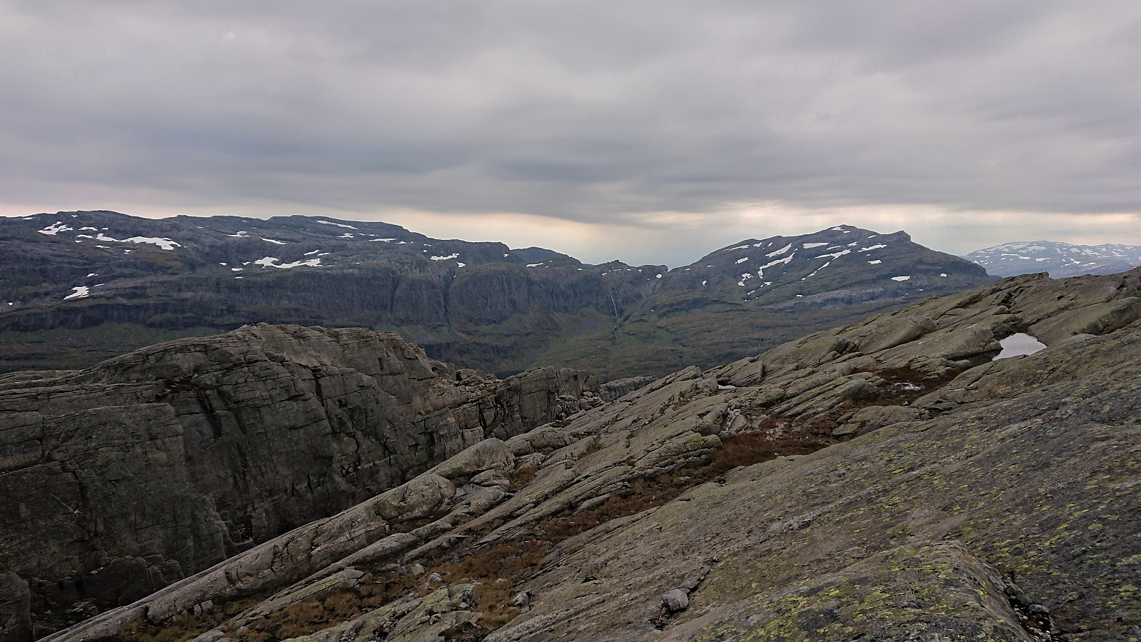
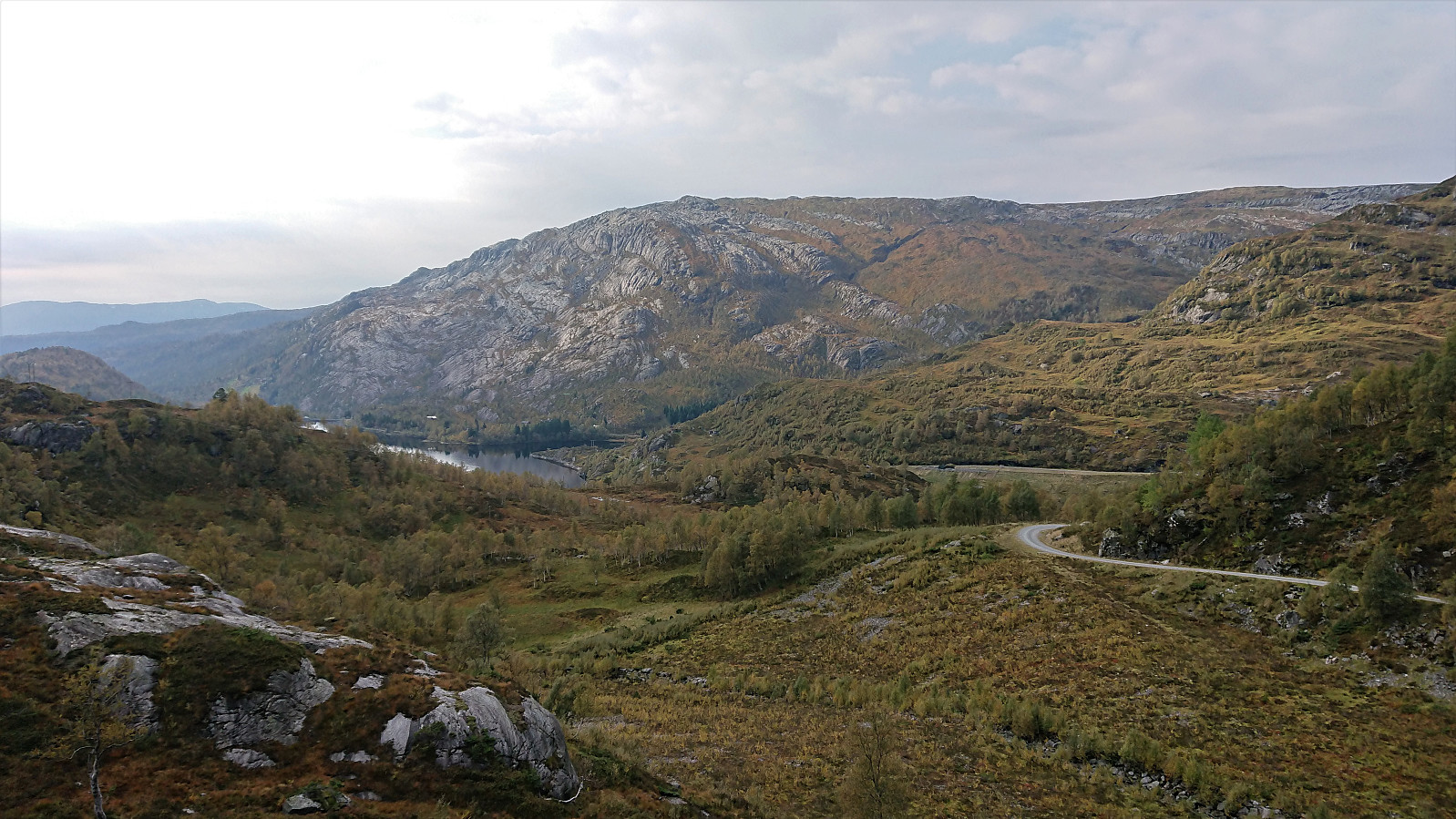
In summary, a very nice hike with great views where only the final bit of the ascents to the two summits requires going off-trail. The rest is either along an excellent gravel road or along a marked trail. (Note that it is possible to drive much further than what we did. Did not see any signs this was not allowed, but one or more of the gates after the main parking lot at Kvitingvatnet may sometimes get locked without warning.)


| Starttidspunkt | 27.09.2020 09:47 (UTC+01:00 ST) |
| Sluttidspunkt | 27.09.2020 15:47 (UTC+01:00 ST) |
| Totaltid | 5t 59min |
| Bevegelsestid | 5t 45min |
| Pausetid | 0t 13min |
| Snittfart totalt | 3,5km/t |
| Snittfart bevegelsestid | 3,7km/t |
| Distanse | 21,1km |
| Høydemeter | 1234m |

Kommentarer