Tverrvassfjellet from Gamlesæter (16.08.2020)

| Startpunkt | Gamlesæter (83m) |
|---|---|
| Endpunkt | Gamlesæter (84m) |
| Tourcharakter | Bergtour |
| Tourlänge | 7h 12min |
| Entfernung | 19,0km |
| Höhenmeter | 1.015m |
| GPS |
|
| Besteigungen | Tverrvassfjellet (832m) | 16.08.2020 |
|---|---|---|
| Besuche anderer PBE | Stussdalen-Sætravatnet kr. 40 (220m) | 16.08.2020 |
| Øvre Sætravatnet p-plass (355m) | 16.08.2020 |
Tverrvassfjellet from Gamlesæter
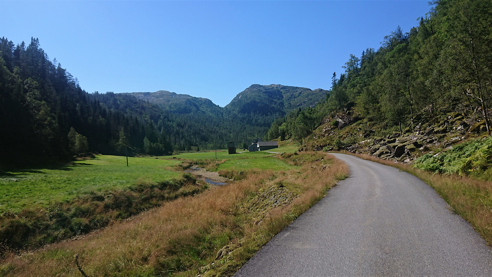
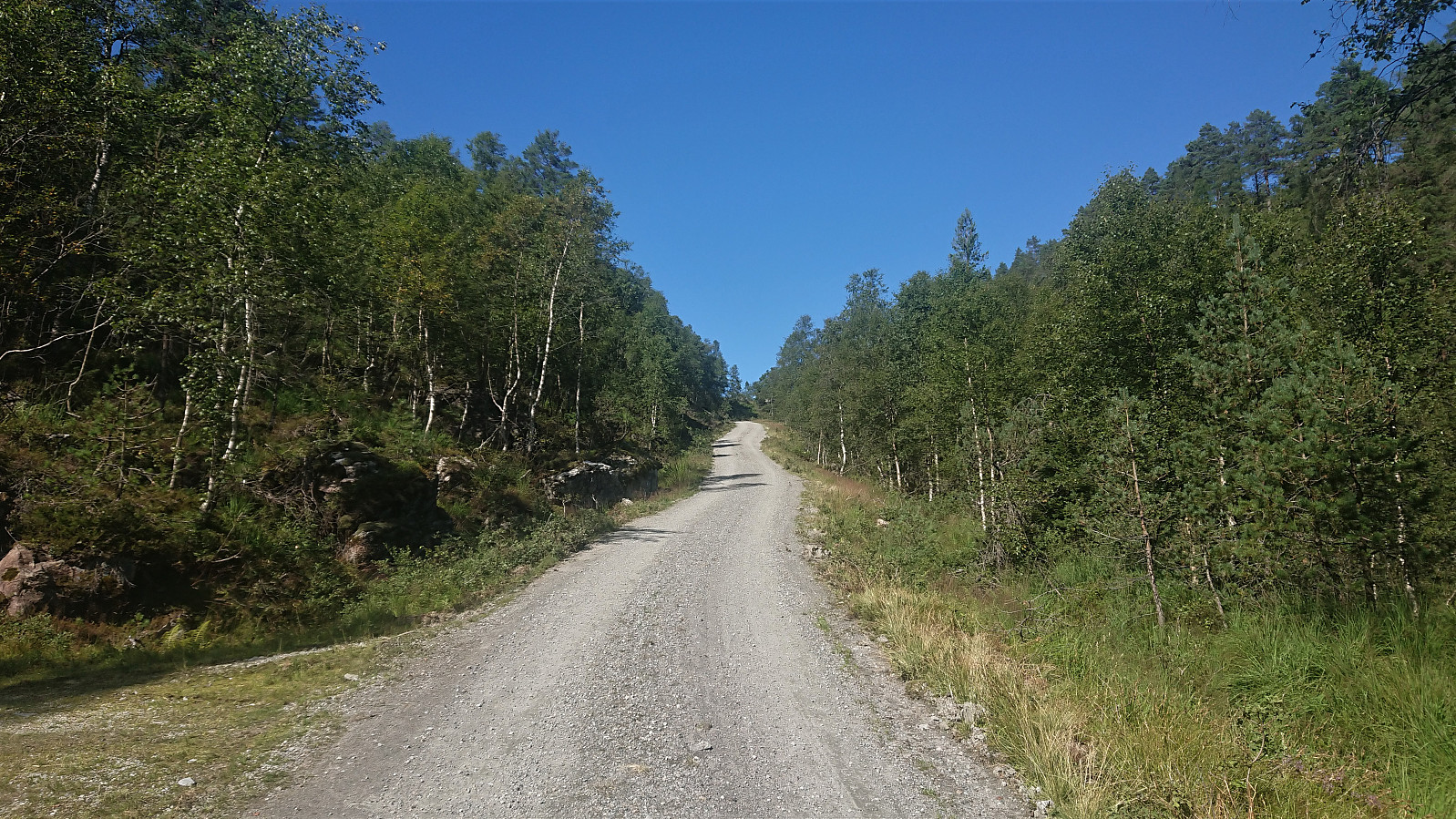
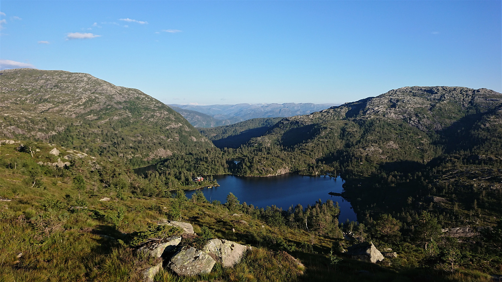
On this very warm late August Sunday, I stared by taking the bus to Gamlesæter and from there walking north along the main road for about 500 meters (mainly outside of the guard rails, except for the short stretch across the bridge). Next, I followed the road up Stussdalen to the parking lot at Øvre Sætravatnet, where I shortly after met the only two people I would see for the entire hike.
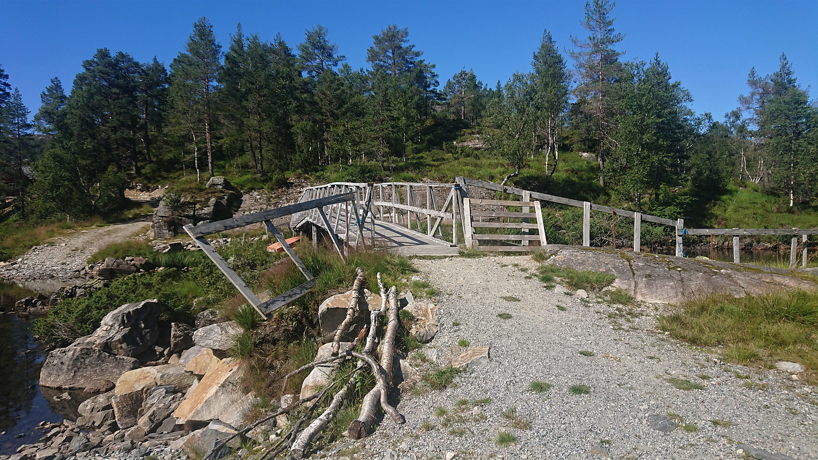
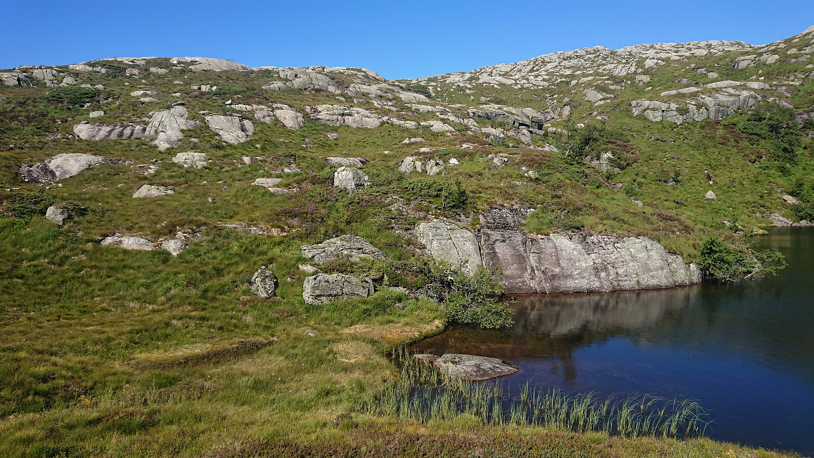
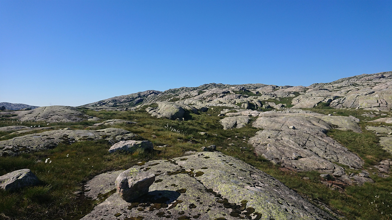
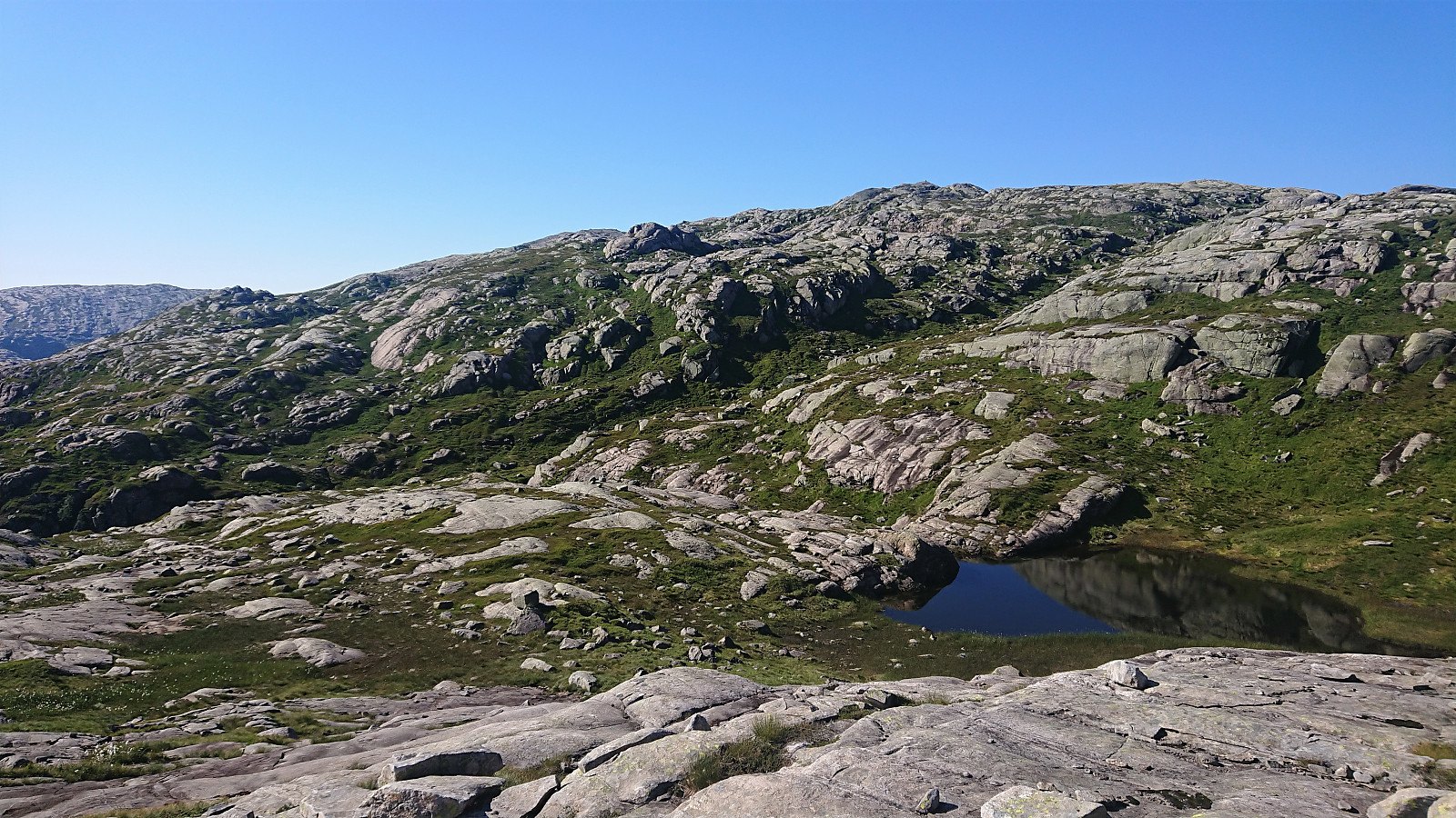
After crossing the bridge in between Nedre and Øvre Sætravatnet, I continued on the unmarked northern trail towards Steinsetdalssætret, deciding to stay on the trail all the way until reaching the small lake next to the trail at 551 meters above sea level, where I took a break before continuing off-trail towards the summit of Tverrvassfjellet.
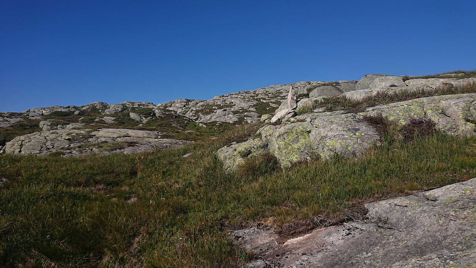
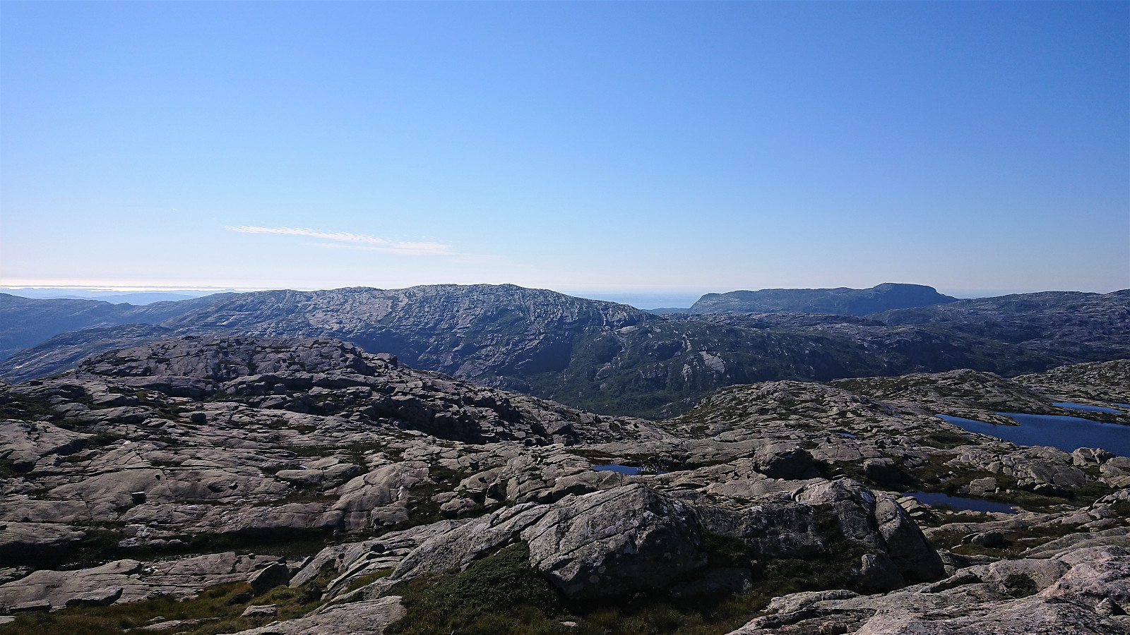
In order to avoid the steepest areas, I first headed north and later turned northwest aiming more directly for the highest point. The terrain included its fair share of short steep ascents and smaller hills, most of which I tried to avoid.
However, southeast of the summit there was a small valley that I did not see any better options than descending into before making the final ascent to the summit. A short section southeast of the summit even required some light climbing, but this could probably easily have been avoided by a minor detour.
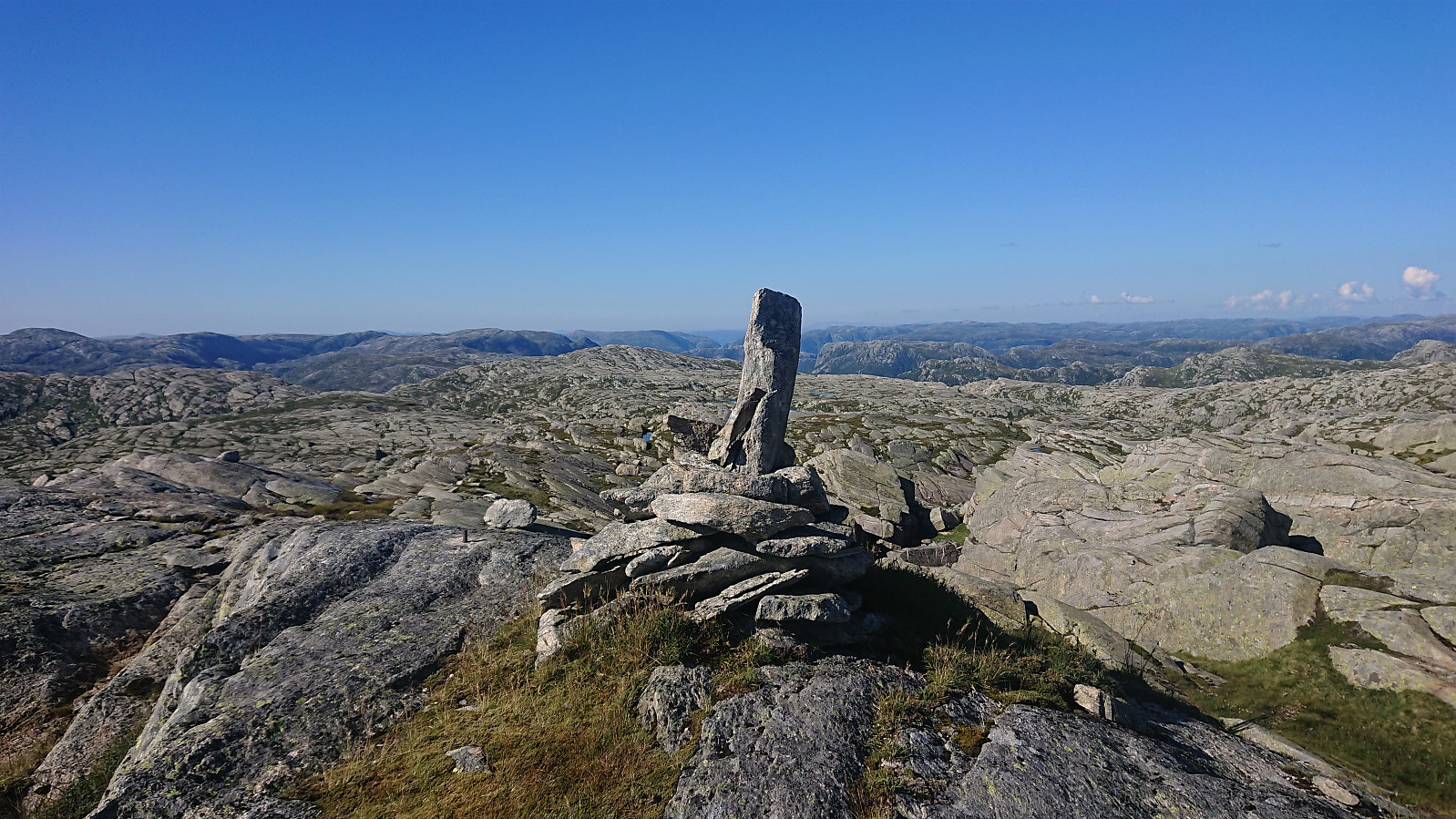
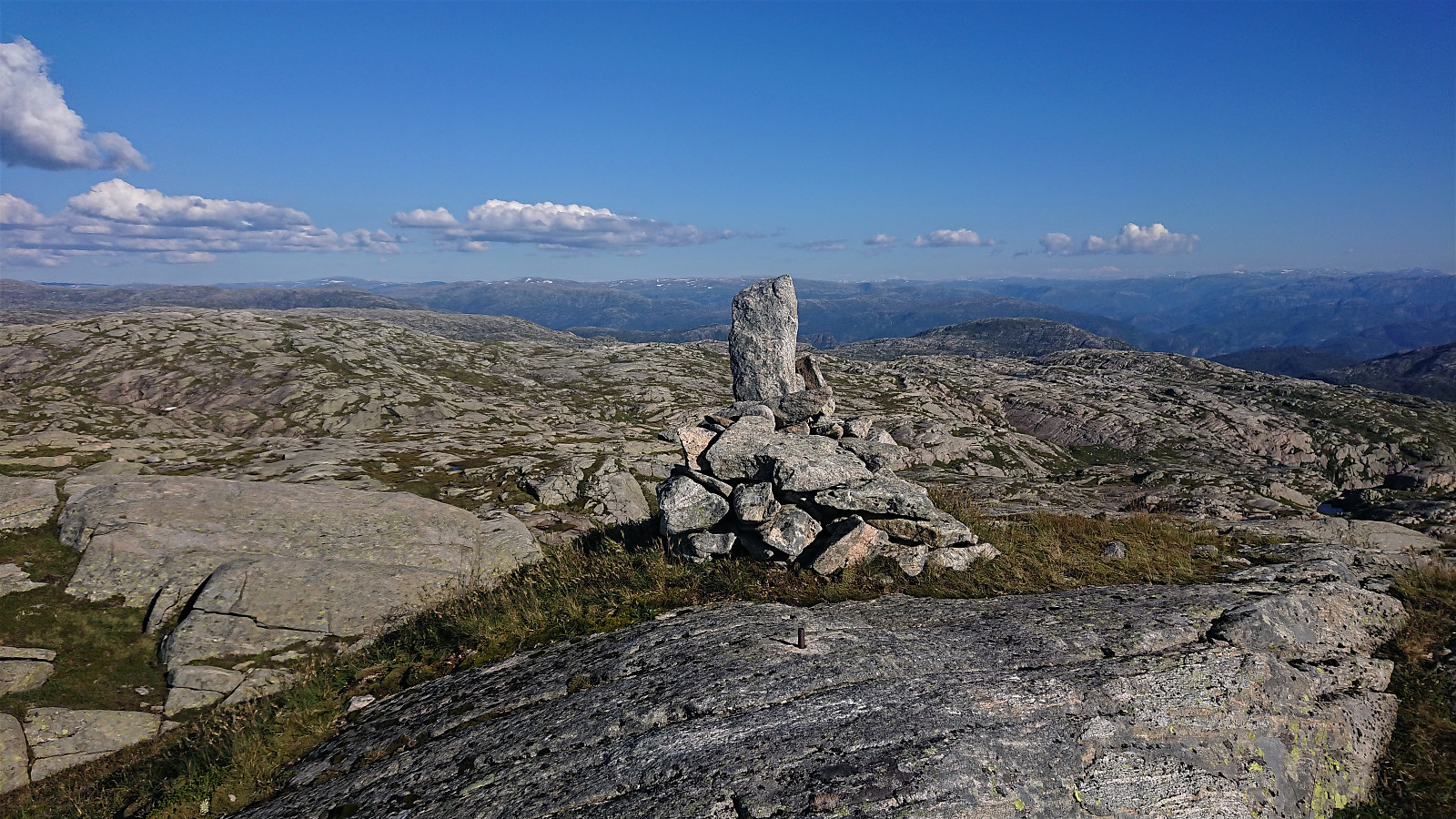
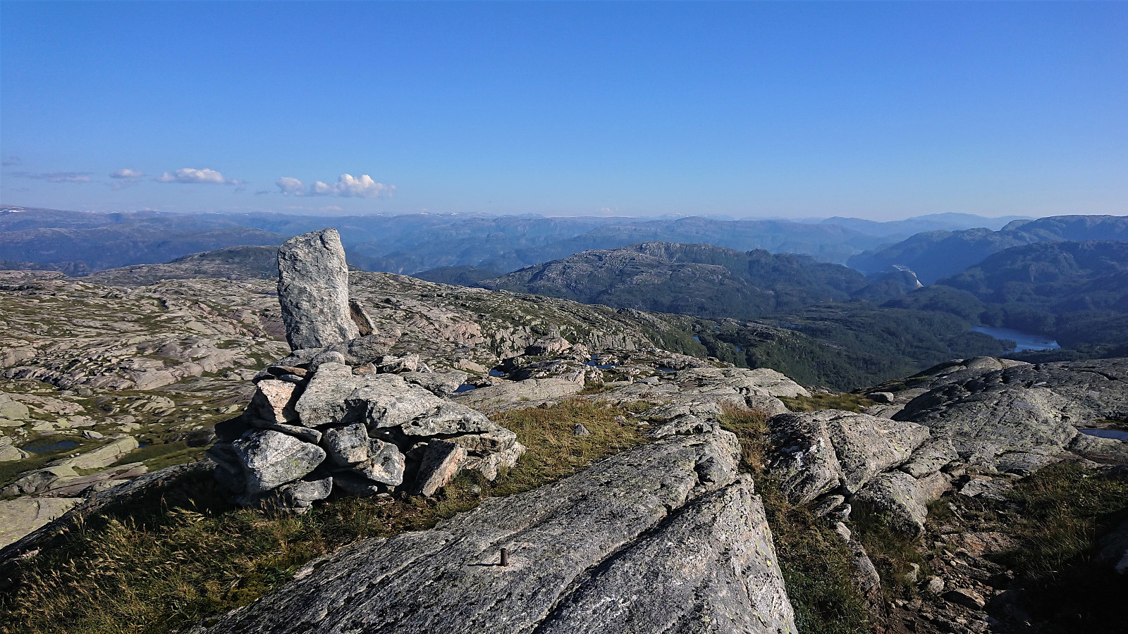
The summit provided excellent unhindered views in all directions, which I enjoyed during an extended lunch break before starting my descent along more or less the same route as for the ascent. I now had way too much time for the bus back to Bergen at Gamlesæter though, so I tried to take it very easy and have lots of breaks (unlike most of my normal hikes). Even to, I still ended up waiting more than half an hour at the bus stop.
In summary, a nice hike that can be recommended. Probably best to do in good weather though, as I would expect the terrain to be significantly more challenging under poor visibility conditions.
(Note that if planning your own version of this hike, I would not pay too much attention to the time it took me to complete my hike, as this was greatly a result of taking it slow and having lots of breaks, due to both the unusually warm weather and to shorten the waiting time at the bus stop.)
| Startzeitpunkt | 16.08.2020 13:49 (UTC+01:00 SZ) |
| Endzeitpunkt | 16.08.2020 21:01 (UTC+01:00 SZ) |
| Gesamtzeit | 7h 12min |
| Zeit in Bewegung | 5h 26min |
| Pausenzeit | 1h 45min |
| Gesamtschnitt | 2,6km/h |
| Bewegungsschnitt | 3,5km/h |
| Entfernung | 19,0km |
| Höhenmeter | 1.015m |

Benutzerkommentare