Såta from Sævellvegen (15.07.2020)

| Startsted | Sævellvegen (192moh) |
|---|---|
| Sluttsted | Sævellvegen (190moh) |
| Turtype | Fjelltur |
| Turlengde | 2t 18min |
| Distanse | 9,4km |
| Høydemeter | 407m |
| GPS |
|
| Bestigninger | Såta (491moh) | 15.07.2020 |
|---|---|---|
| Andre besøkte PBE'er | Bomveg Sævellavatnet (190moh) | 15.07.2020 |
| Kjøpmannavadet Parkering (250moh) | 15.07.2020 |
Såta from Sævellvegen
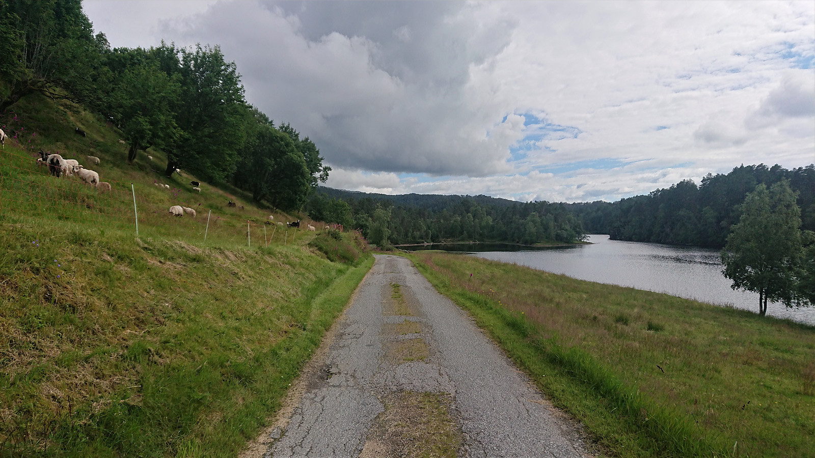
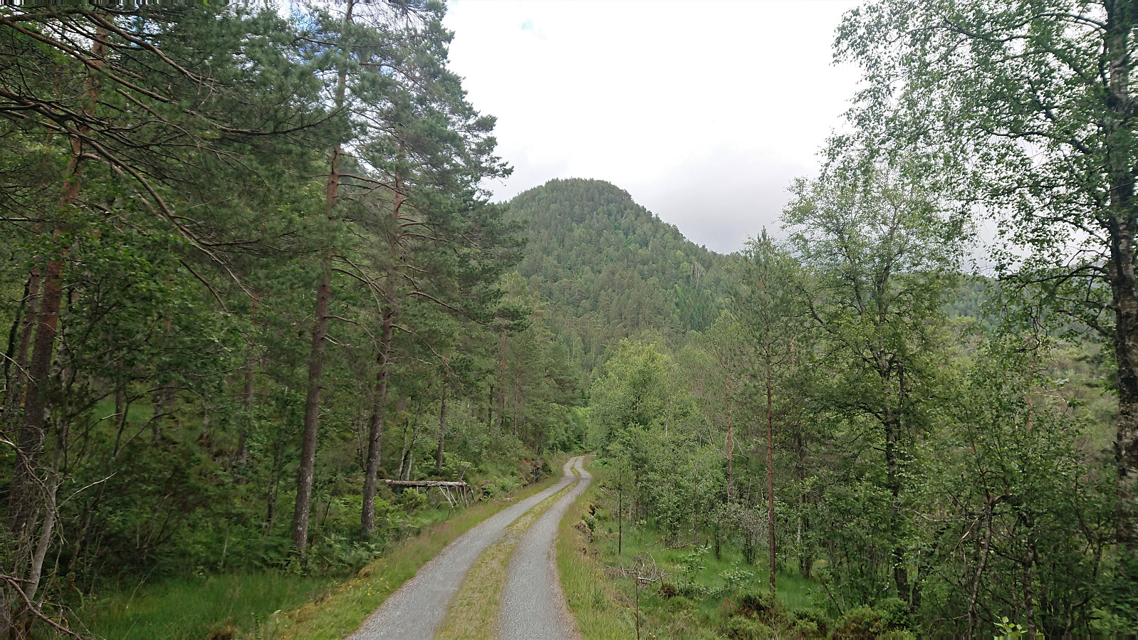
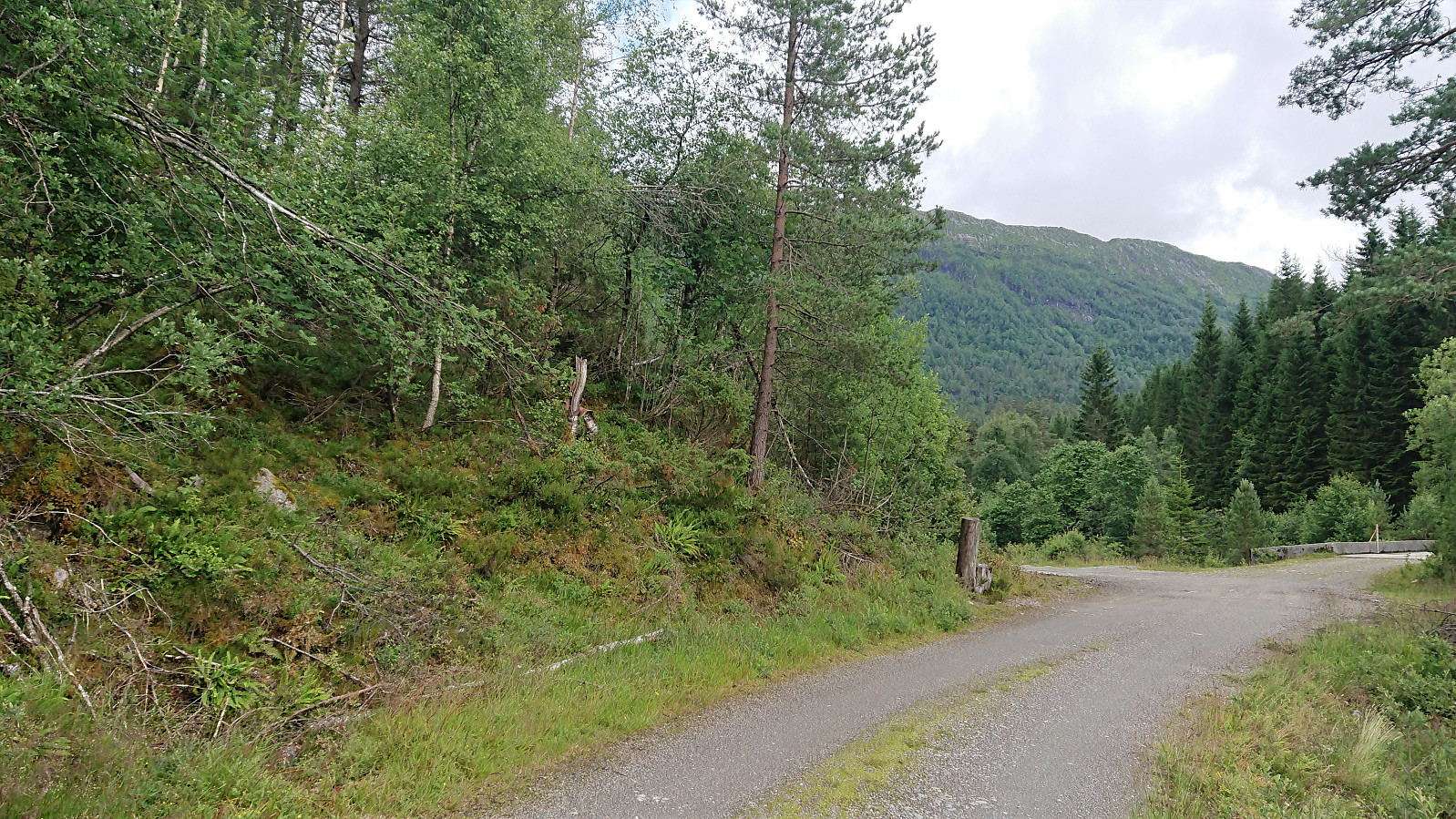
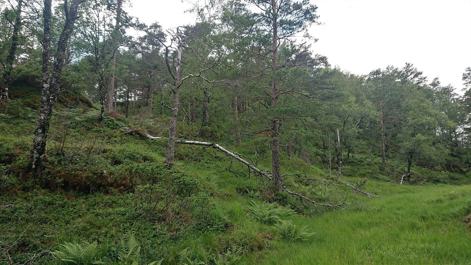
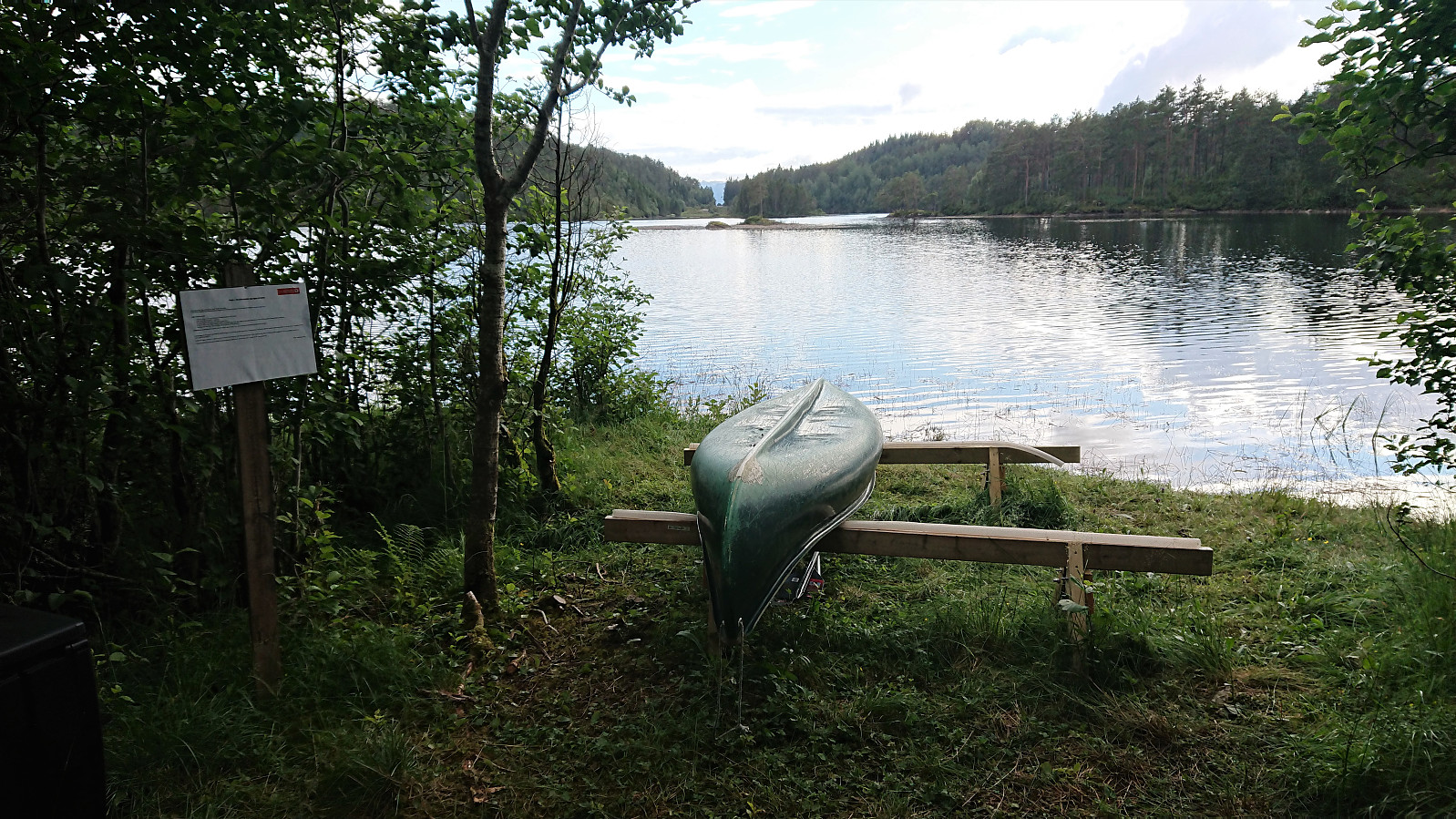
Started by taking the bus to Sævill/Sævell and from there walking along the (first tarmac, then gravel) road to Kjøpmannavadet Parkering. This took me about half an hour, leaving roughly 1.5 hours for both the real hike and the return to the bus stop. Based on the previous PB-reports to Såta, I decided to follow in the footsteps of Kjell51 (Kjell Øijorden), and easily located the indicated trailhead just north of the parking lot.
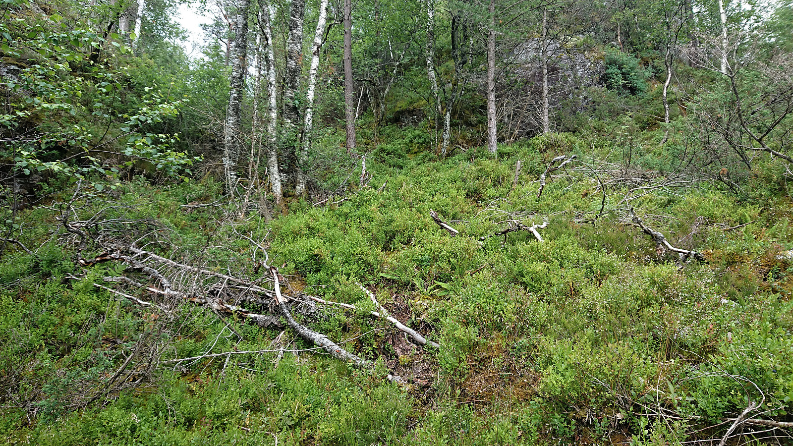
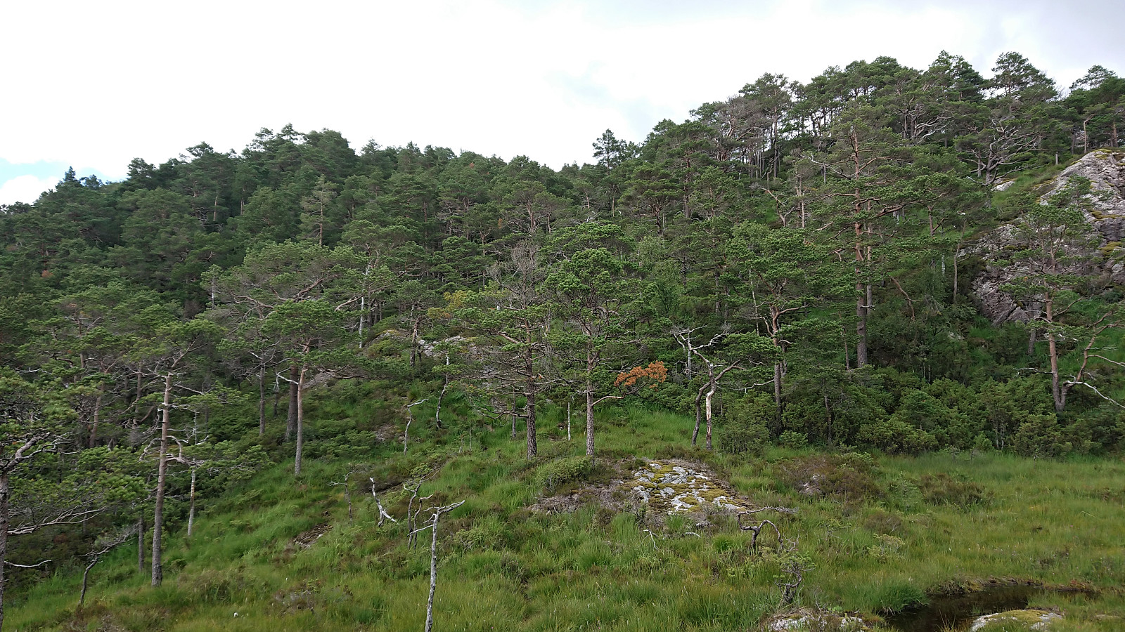
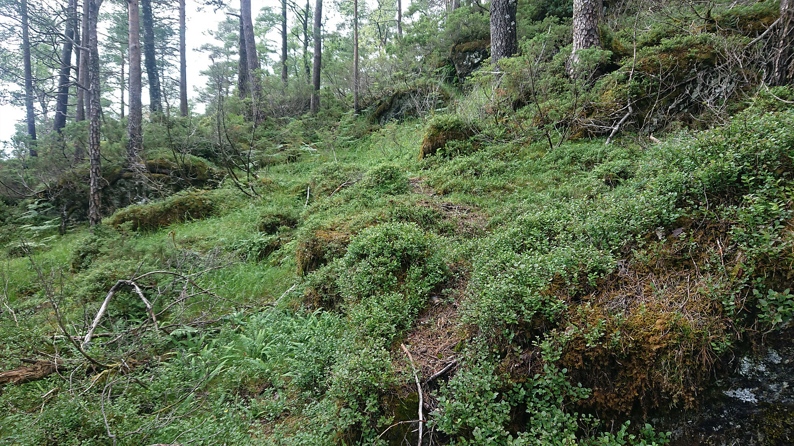
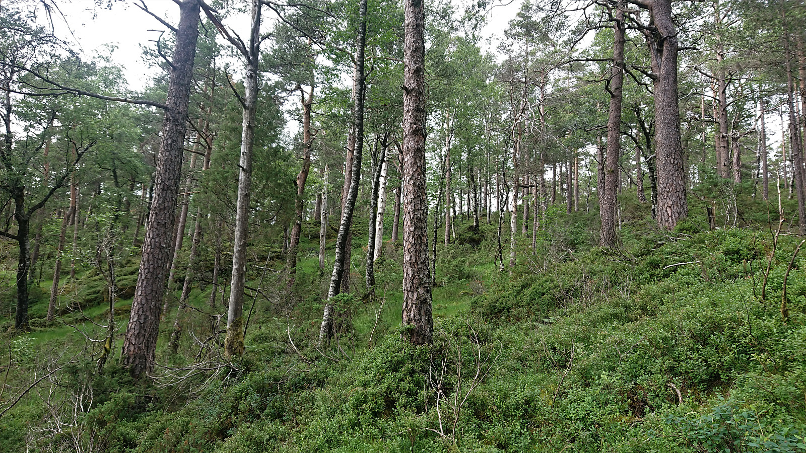
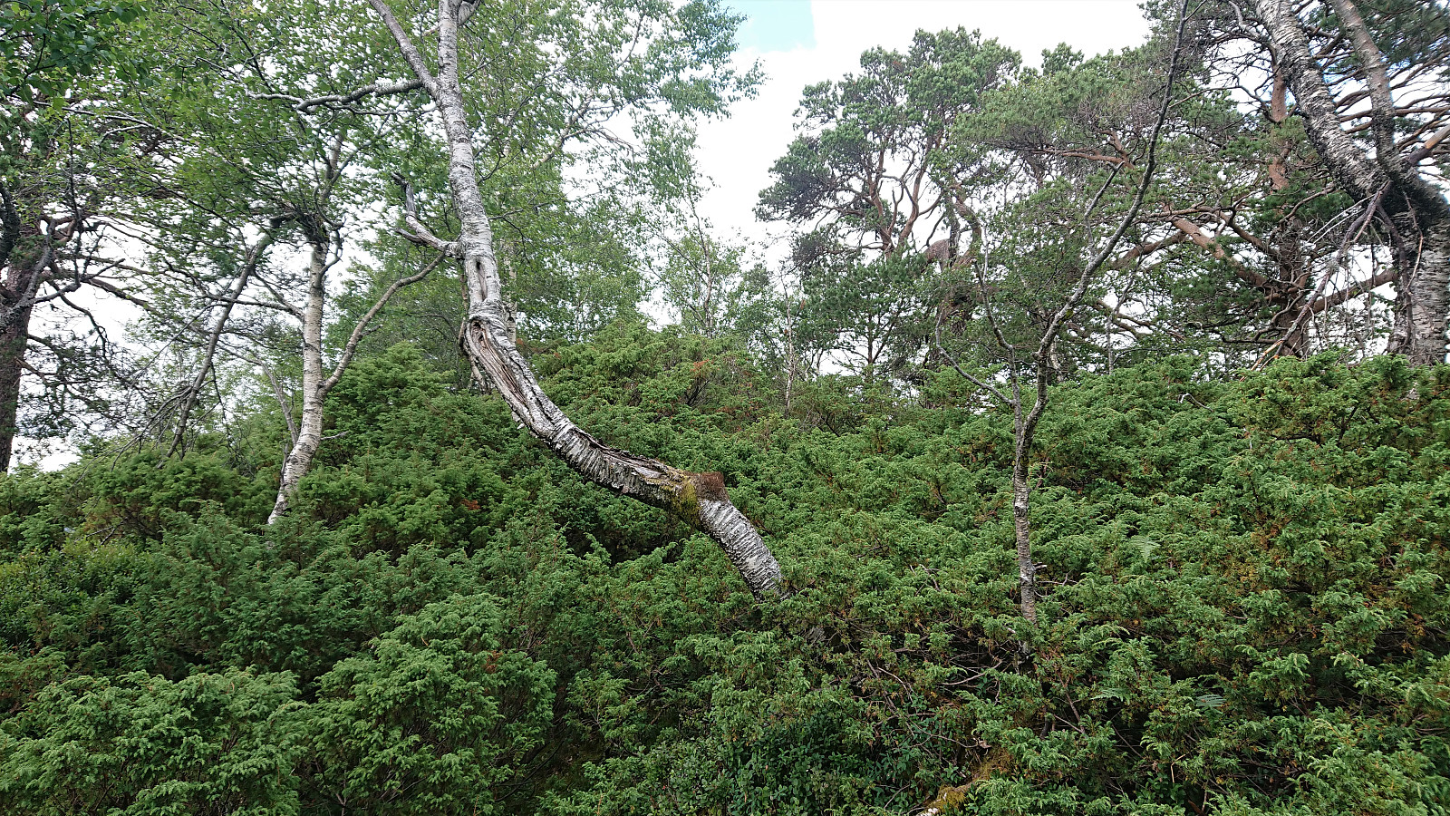
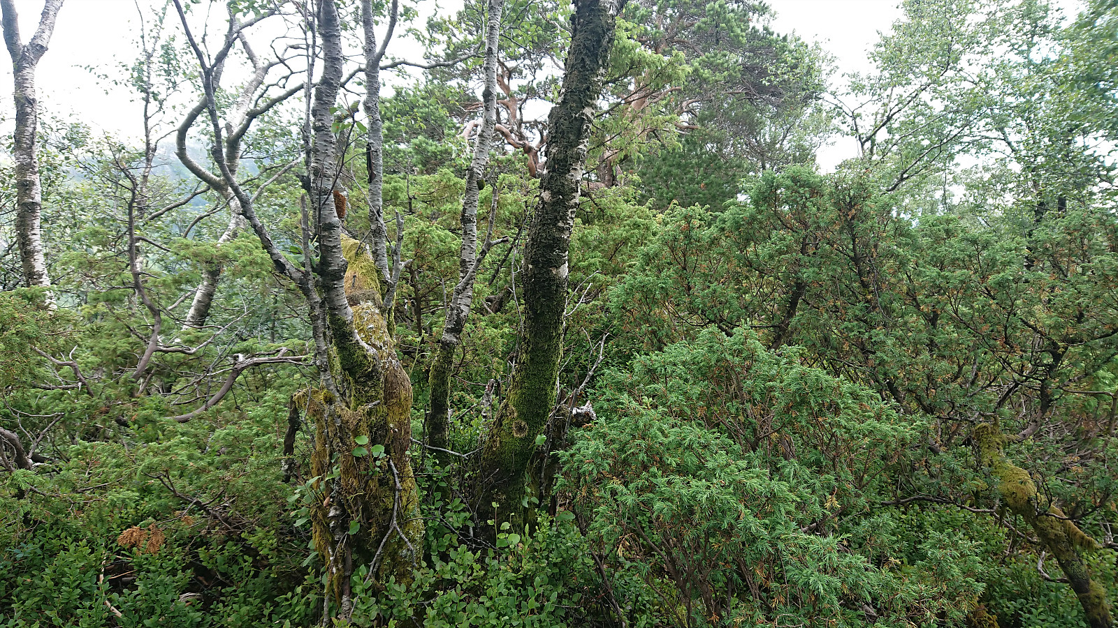
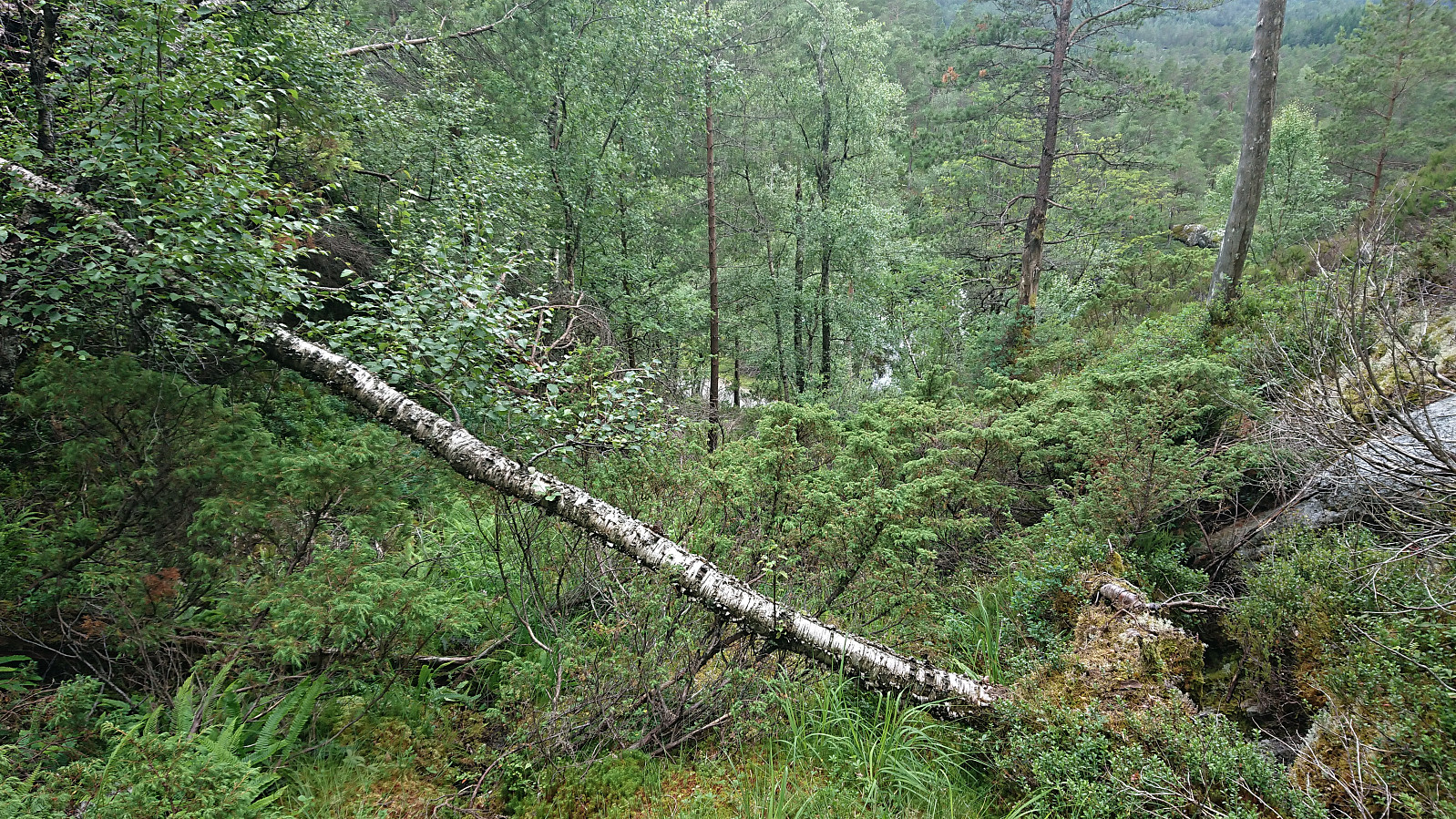
The trail was rather weak though, and soon turned into something looking much more like deer tracks. In any case, following these greatly simplified the ascent and also kept the bush wars to a minimum. And combined with Kjell's GPS track, it made it straightforward to reach the summit. Except perhaps for the very last bit, where a minor fight with the already mentioned bushes was required.
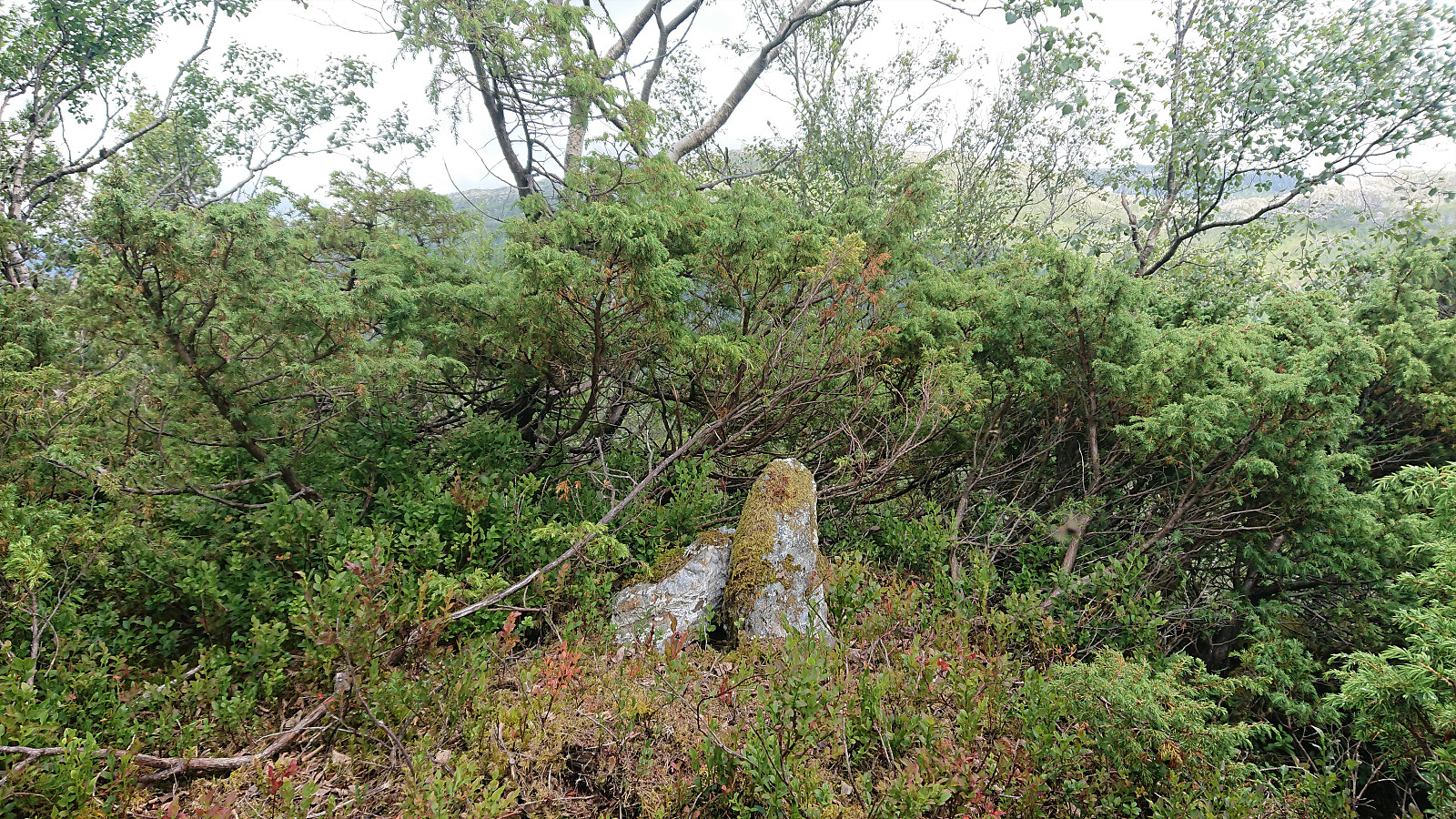
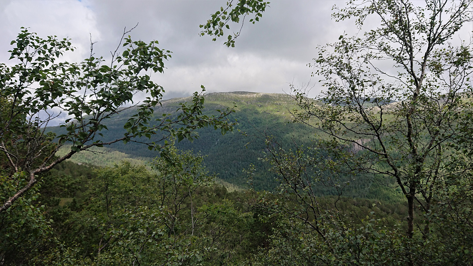
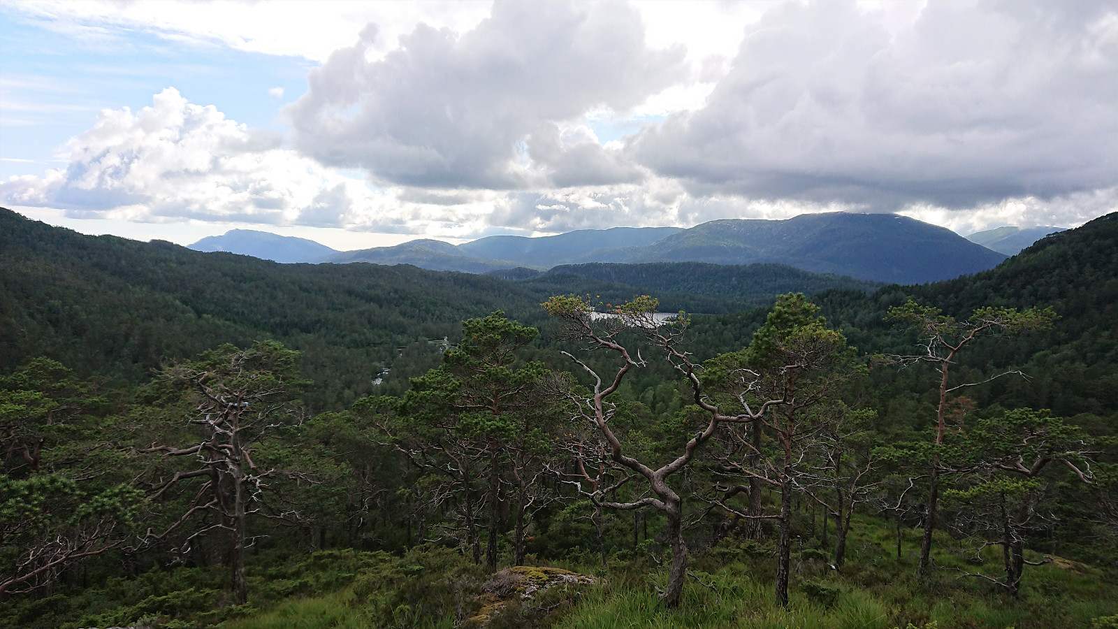
Limited views from the summit, although it was possible to spot Burlifjellet, Skorafjellet and Austre Stemmefjellsnakken through the trees to the east. And just west of the summit, Svening, Hausdalshorga and Gullfjellet could also be seen.
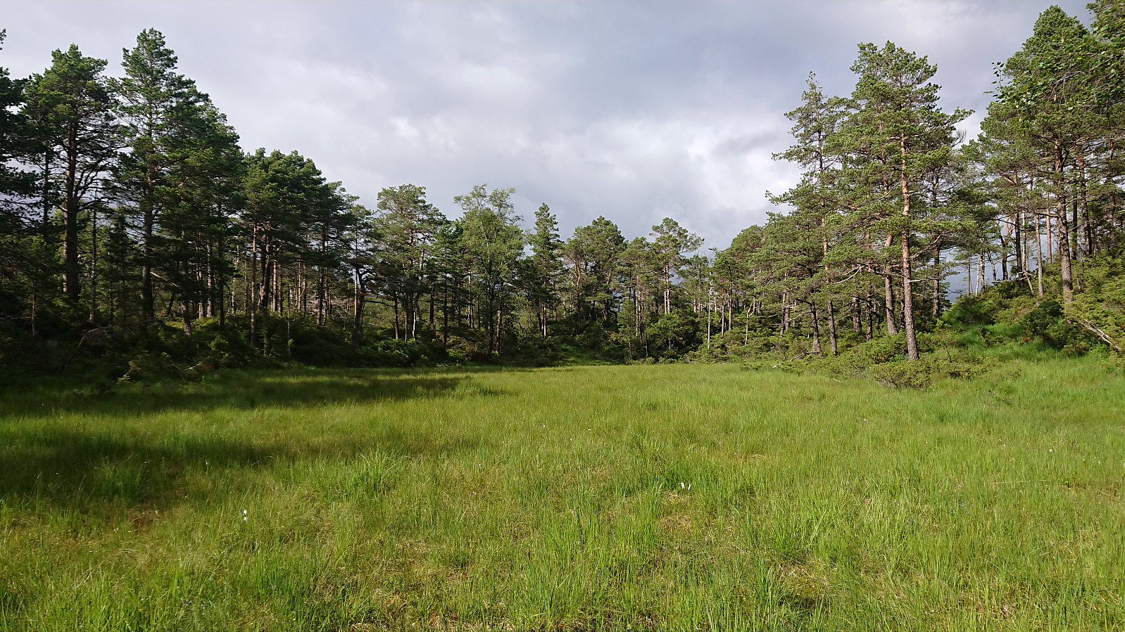
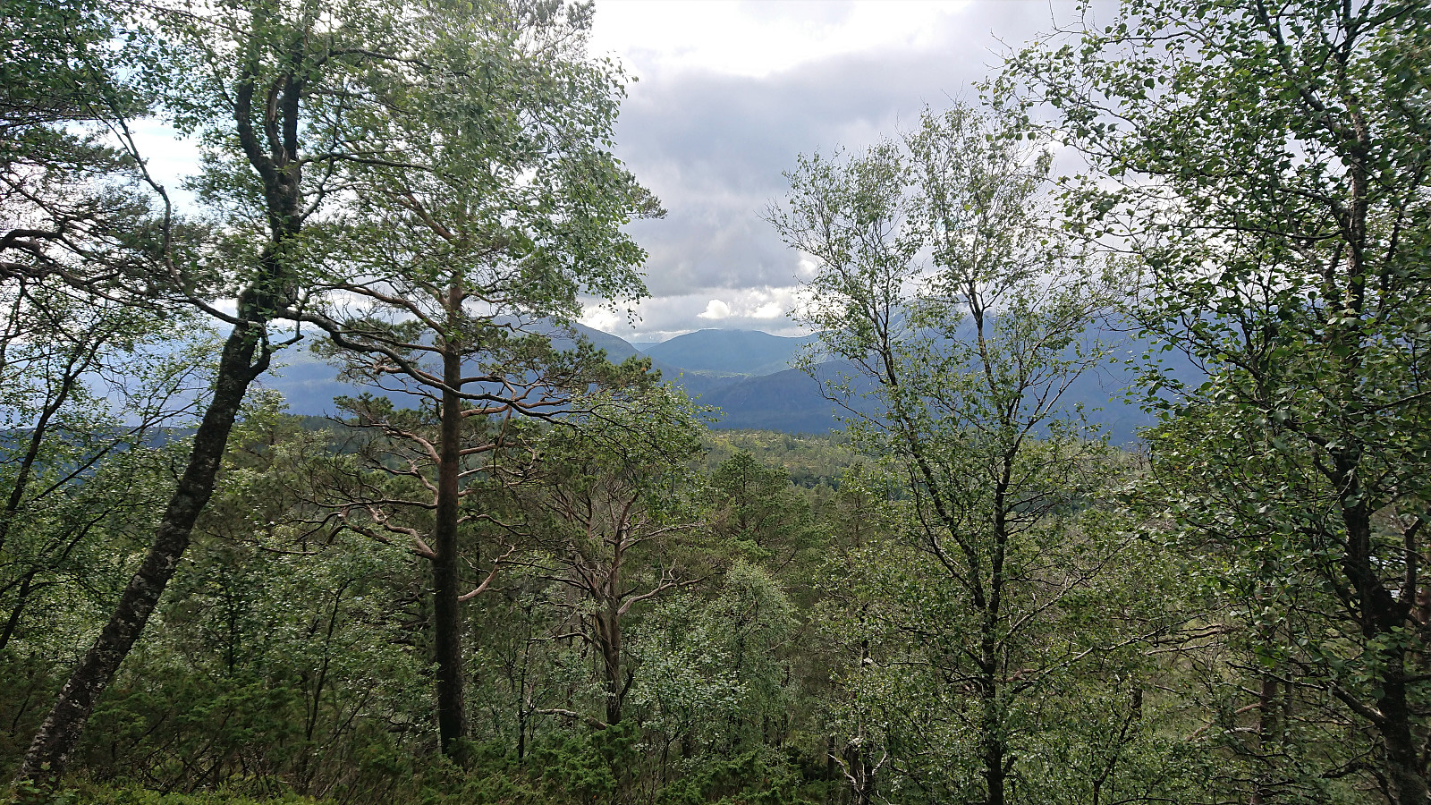
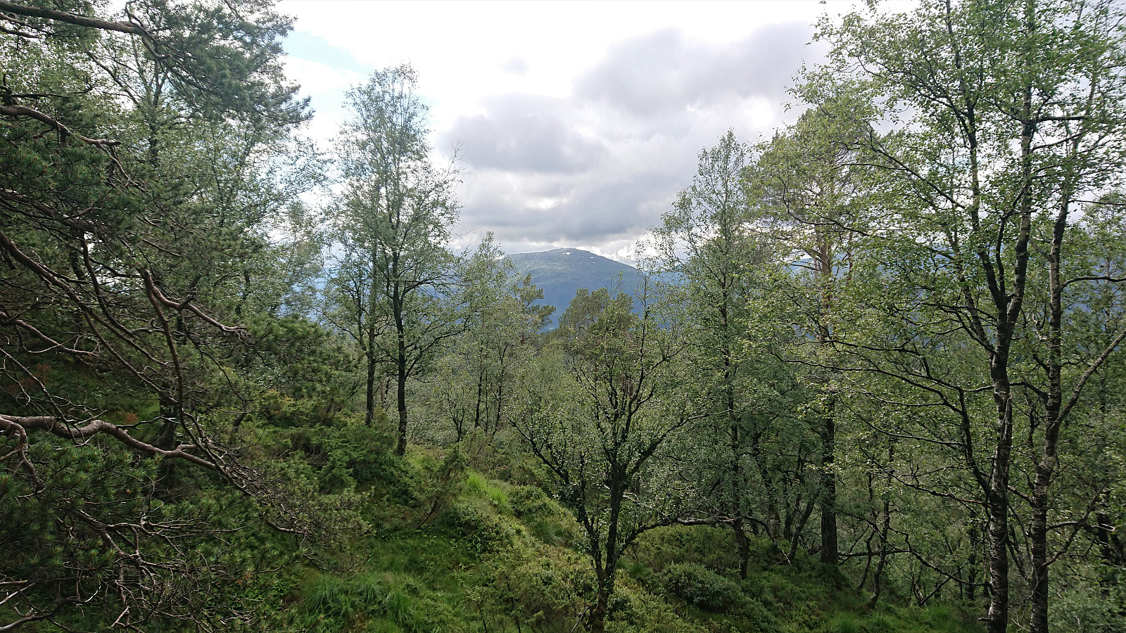
I did not stay long before descending along more or less the same route, with some better views towards the above-mentioned mountains along the way. When getting back down to the gravel road, I still had plenty of time left, and in the end arrived at the bus stop by the main road with about ten minutes to spare.
In summary, not the most interesting of summits, but one that can be relatively easily reached if following the many deer tracks. Pretty sure I will not feel the urge for a revisit though.
| Starttidspunkt | 15.07.2020 16:42 (UTC+01:00 ST) |
| Sluttidspunkt | 15.07.2020 19:01 (UTC+01:00 ST) |
| Totaltid | 2t 18min |
| Bevegelsestid | 2t 17min |
| Pausetid | 0t 1min |
| Snittfart totalt | 4,1km/t |
| Snittfart bevegelsestid | 4,1km/t |
| Distanse | 9,4km |
| Høydemeter | 407m |

Kommentarer