Gullsteinen roundtrip from Grønnestølsbakken (18.01.2020)

| Startsted | Grønnestølsbakken (21moh) |
|---|---|
| Sluttsted | Torget (2moh) |
| Turtype | Fjelltur |
| Turlengde | 2t 52min |
| Distanse | 11,8km |
| Høydemeter | 548m |
| GPS |
|
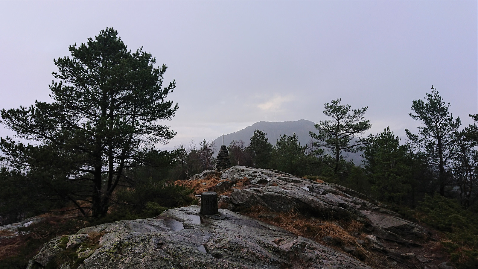
| Bestigninger | Gullsteinen (352moh) | 18.01.2020 |
|---|---|---|
| Andre besøkte PBE'er | Gullsteinen utsiktspunkt (341moh) | 18.01.2020 |
| Gullstølen (ruin) (282moh) | 18.01.2020 | |
| Gulsteinen (305moh) | 18.01.2020 | |
| Langehytten (ruin) ved Gulstølen (254moh) | 18.01.2020 | |
| Løvstien Sør (115moh) | 18.01.2020 | |
| Minnesmerke bomberaid 1945 Løvstien (125moh) | 18.01.2020 | |
| Nygårdsbroene (5moh) | 18.01.2020 | |
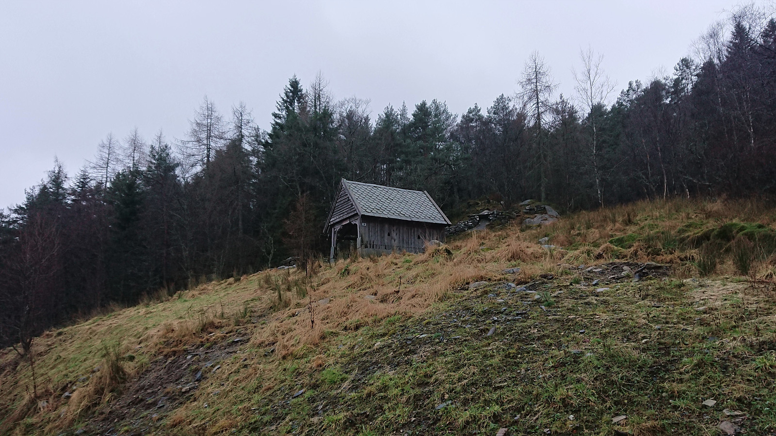
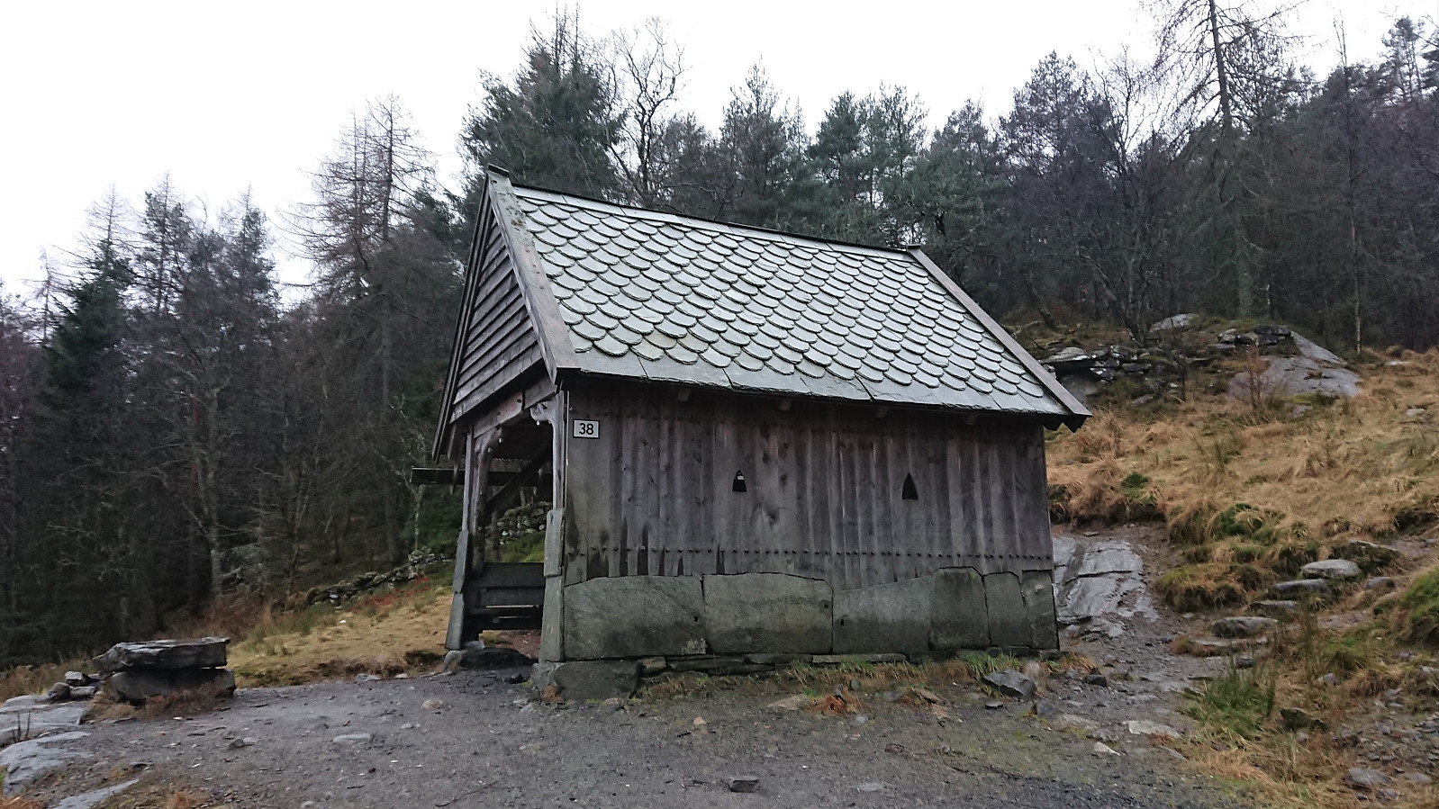
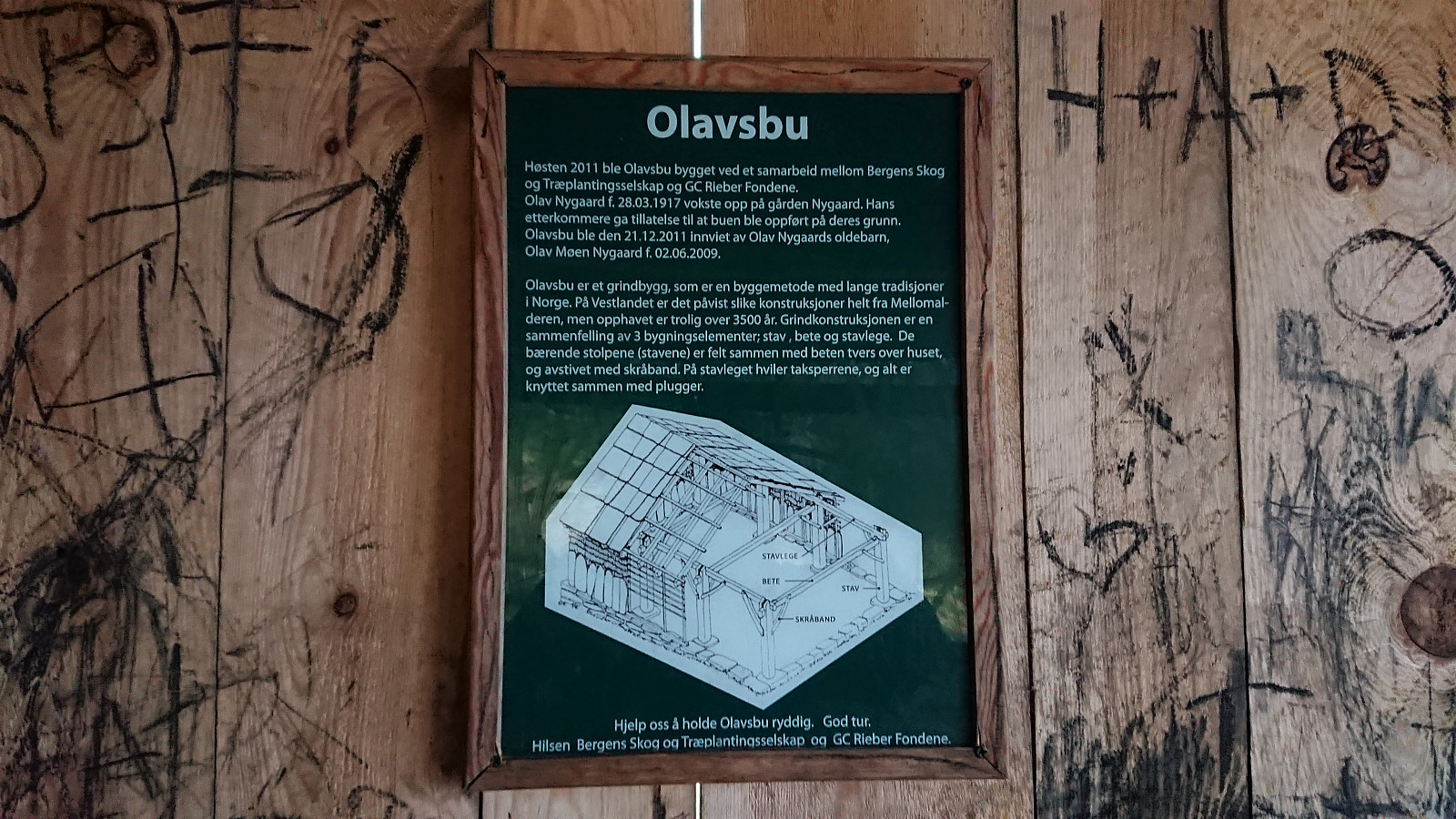
| Olavsbu (125moh) | 18.01.2020 | |
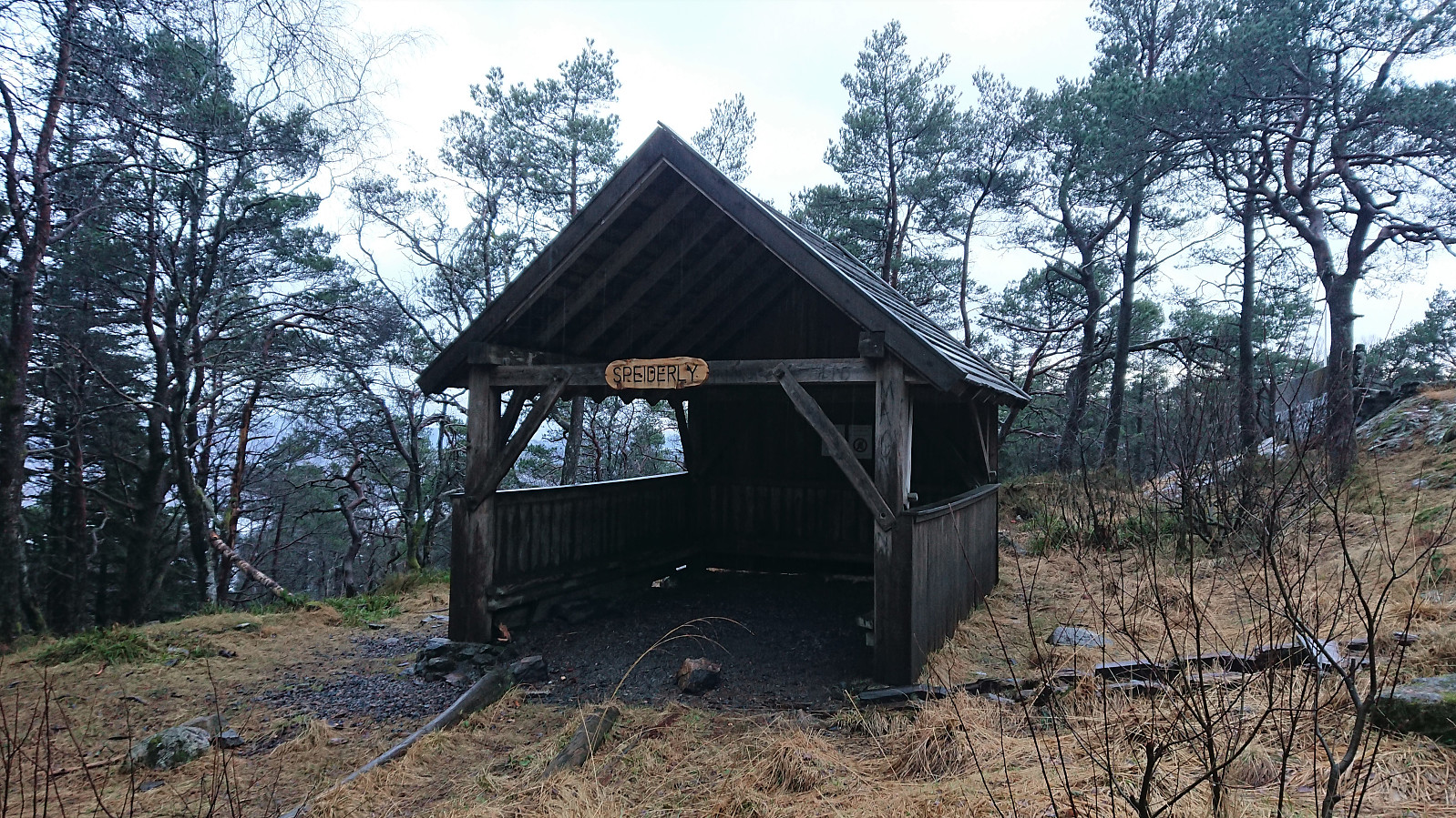
| Speiderly (285moh) | 18.01.2020 |
Gullsteinen roundtrip from Grønnestølsbakken
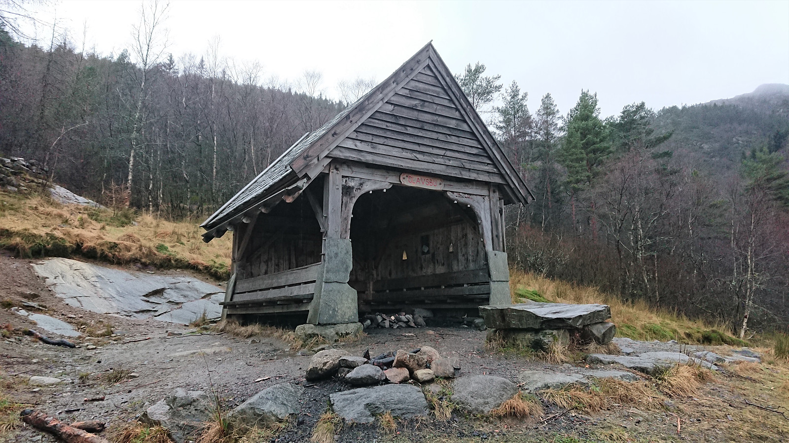
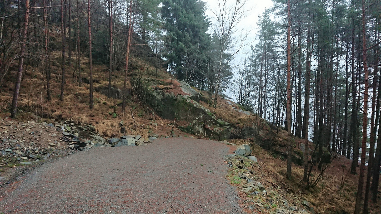
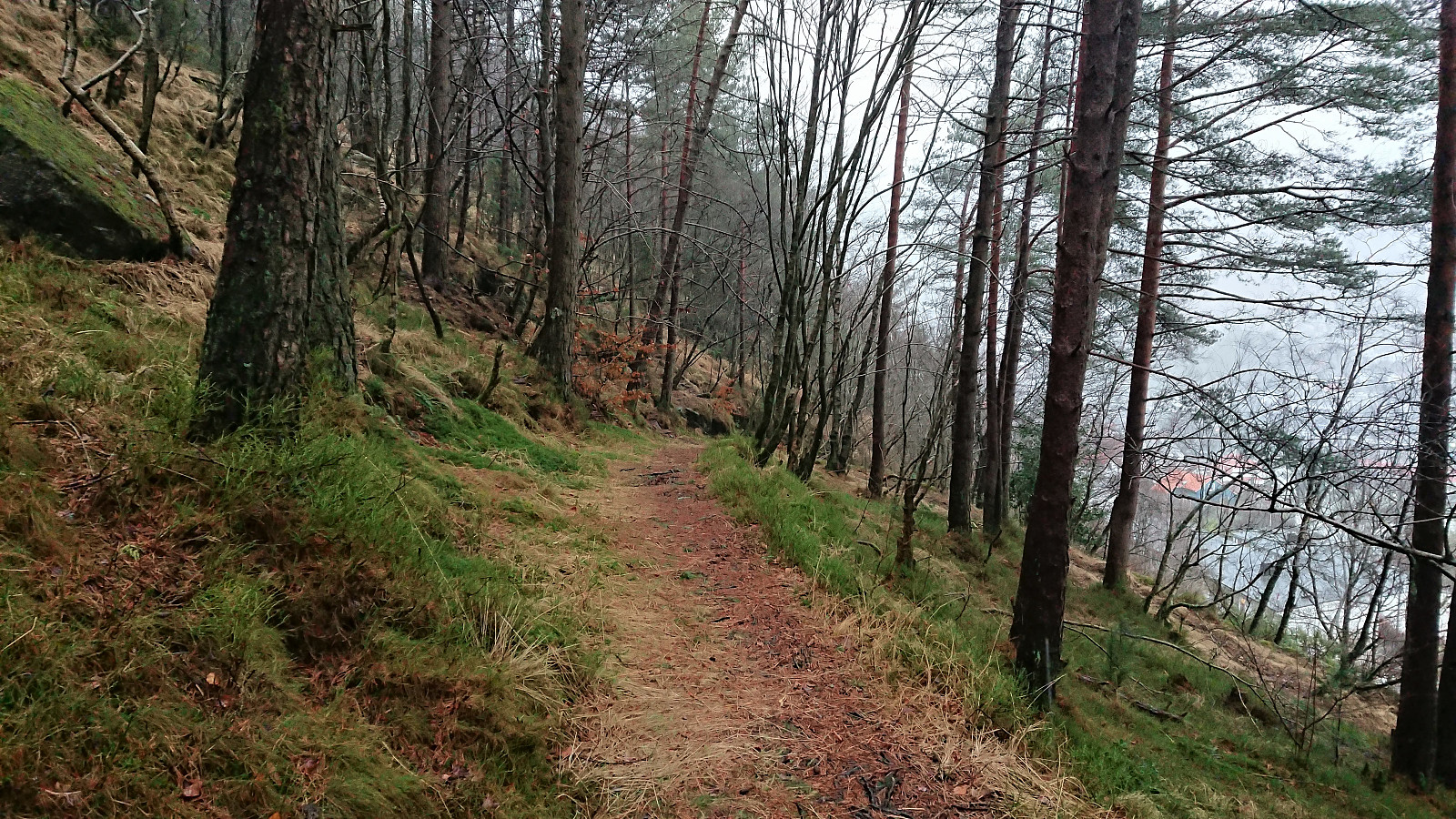
A revisit of Gullsteinen with the main objective to also visit Speiderly and Olavsbu. From Olavsbu I continued south along the southern part of Løvstien, before following an unmarked trail to Gullstølen/Speiderly. After crossing over Gullsteinen, I decided not to start the usual climb to Løvstakken, and instead turned south/southwest along a trail taking me more or less back to Olavsbu.
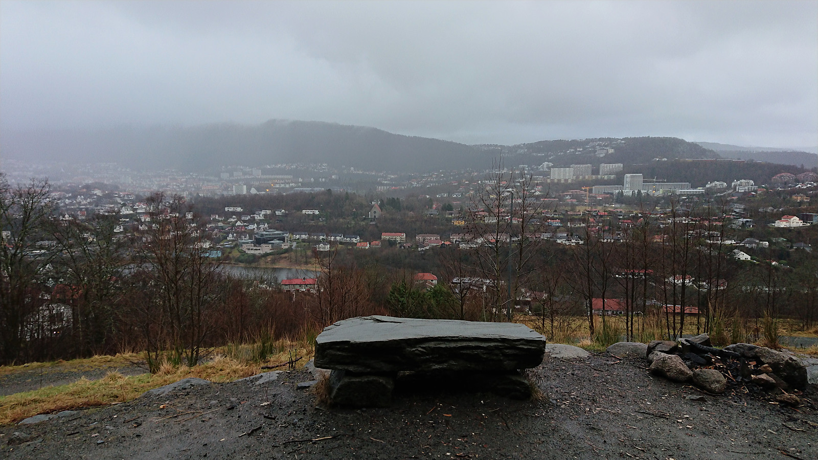
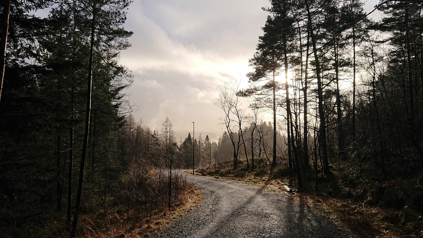
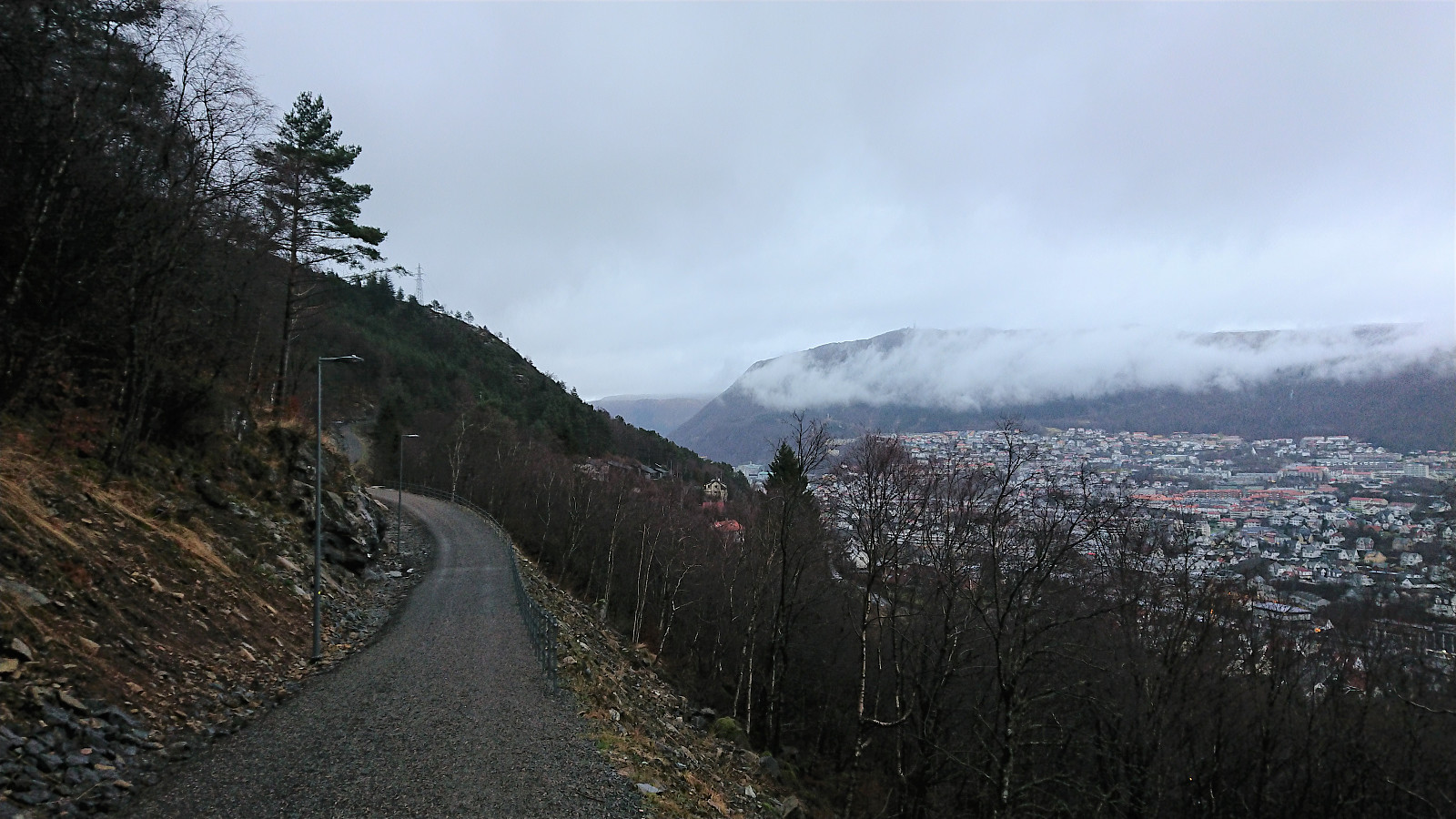
I then followed Løvstien north until it came to an abrupt end. There I managed to locate a trail that I assumed would take me down to Øvre Fredlundsveien. However, I must have taken a wrong turn somewhere, as I ended up with a bit of light climbing and also having to jump a fence in order to finally reach the road. I think the correct route is to rather connect with the northern part of Fredlundsvingen when this opportunity first presents itself.
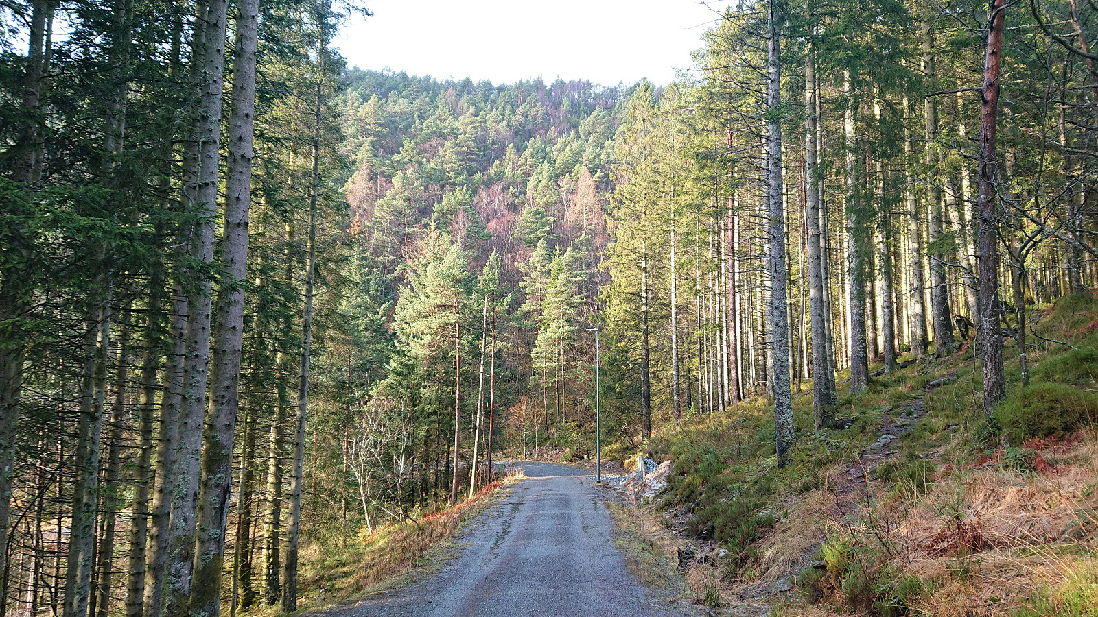
The hike was then completed by walking along the roads back to the city center.
| Starttidspunkt | 18.01.2020 12:28 (UTC+01:00) |
| Sluttidspunkt | 18.01.2020 15:21 (UTC+01:00) |
| Totaltid | 2t 52min |
| Bevegelsestid | 2t 49min |
| Pausetid | 0t 3min |
| Snittfart totalt | 4,1km/t |
| Snittfart bevegelsestid | 4,2km/t |
| Distanse | 11,8km |
| Høydemeter | 547m |

Kommentarer