Høgehaugen (26.10.2019)

| Start point | Sævellavatnet (190m) |
|---|---|
| Endpoint | Sævellavatnet (191m) |
| Characteristic | Hillwalk |
| Duration | 1h 37min |
| Distance | 4.3km |
| Vertical meters | 280m |
| GPS |
|
| Ascents | Høgehaugen (298m) | 26.10.2019 14:16 |
|---|
Høgehaugen
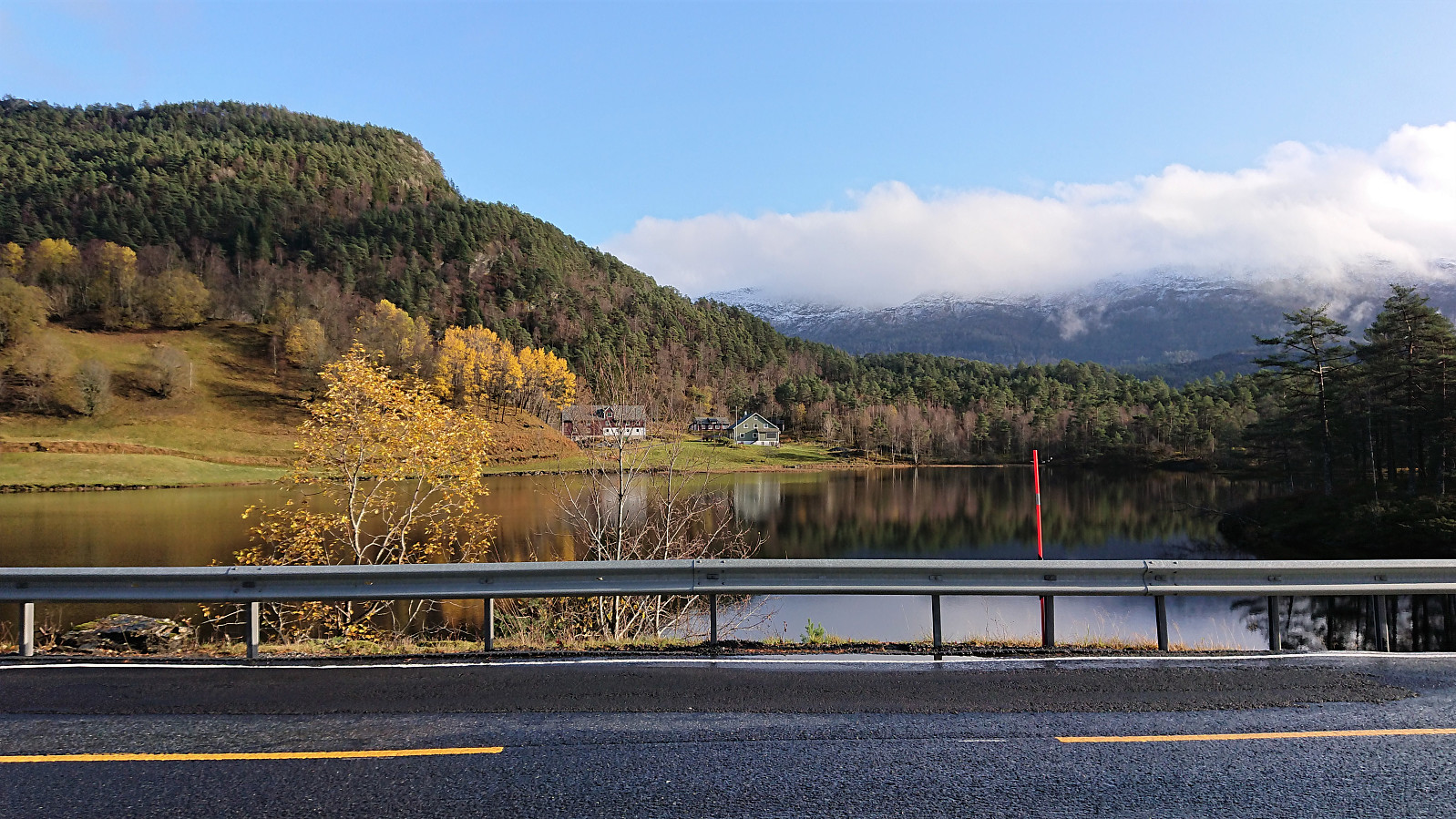
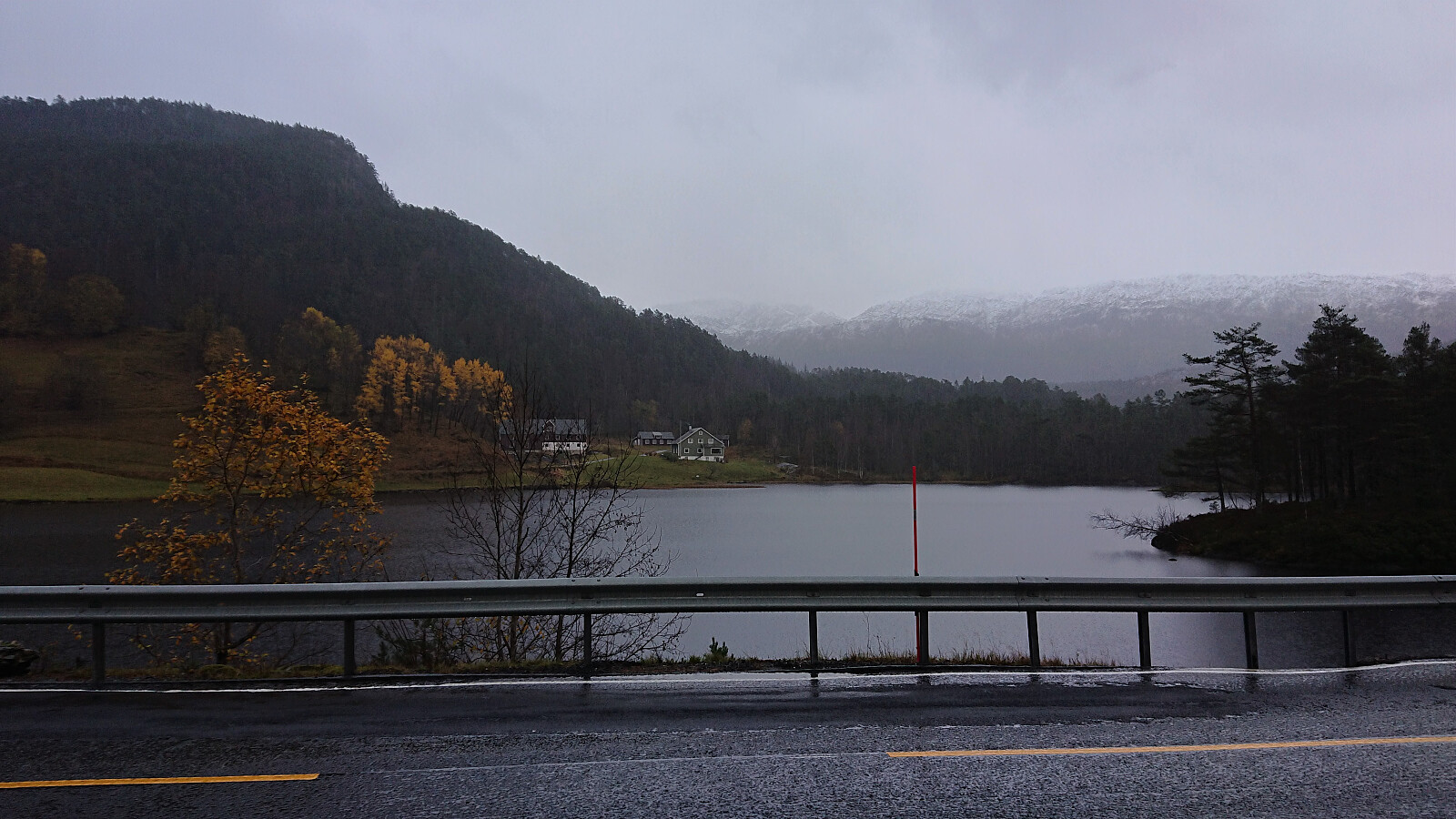
To complete our tour of small peaks along Samnanger-/Eikelandsfjorden, Endre and I had saved the worst for last: Høgehaugen. At least that seemed to be the verdict after reading reports from previous visits. We started from the standard location, i.e. the small parking lot next to Sævellavatnet on the border of Fusa and Samnanger. But where everyone else had seemed to stay north of Botnavatnet, we instead headed south, hoping that this would provide an easier route to the elusive trail west of the lake.
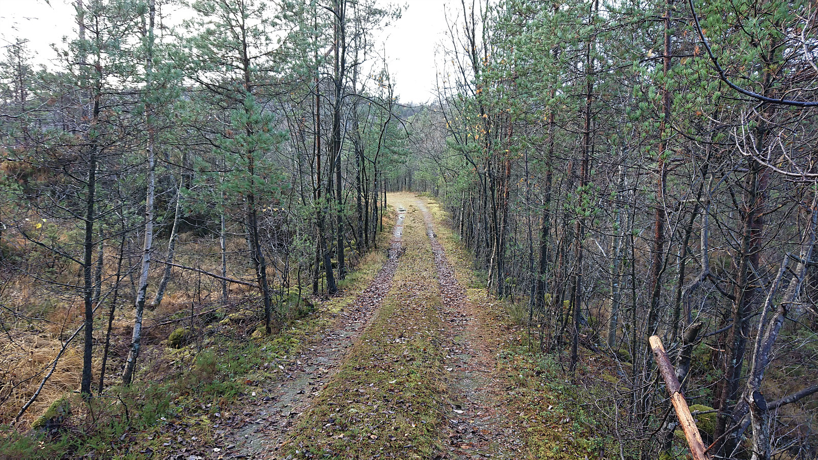
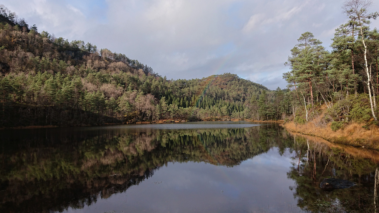
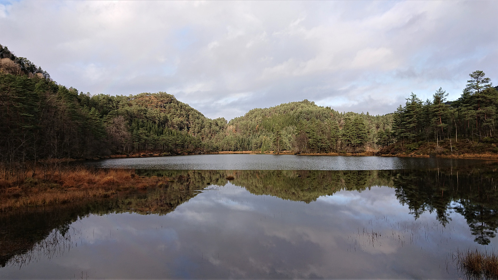
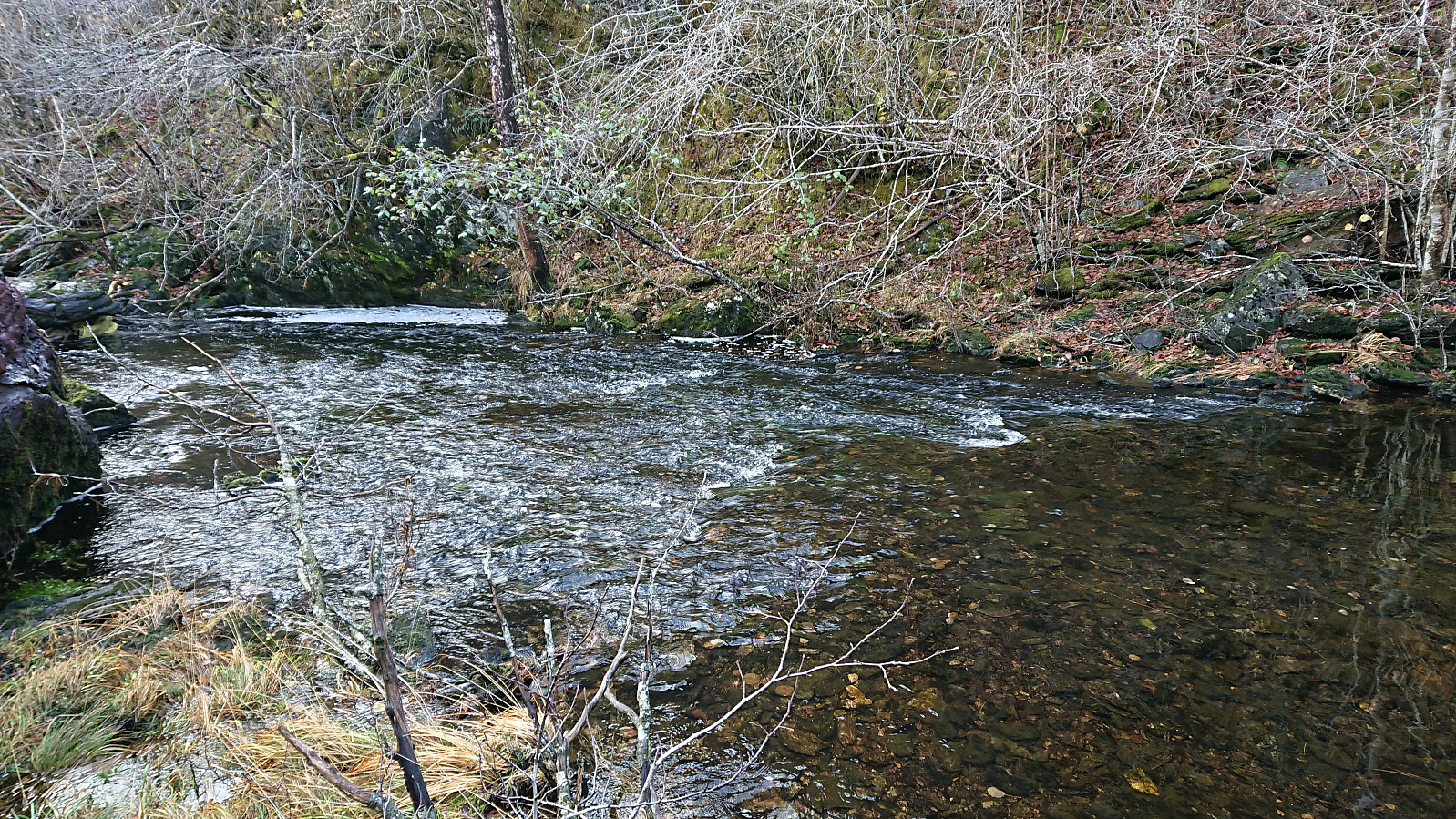
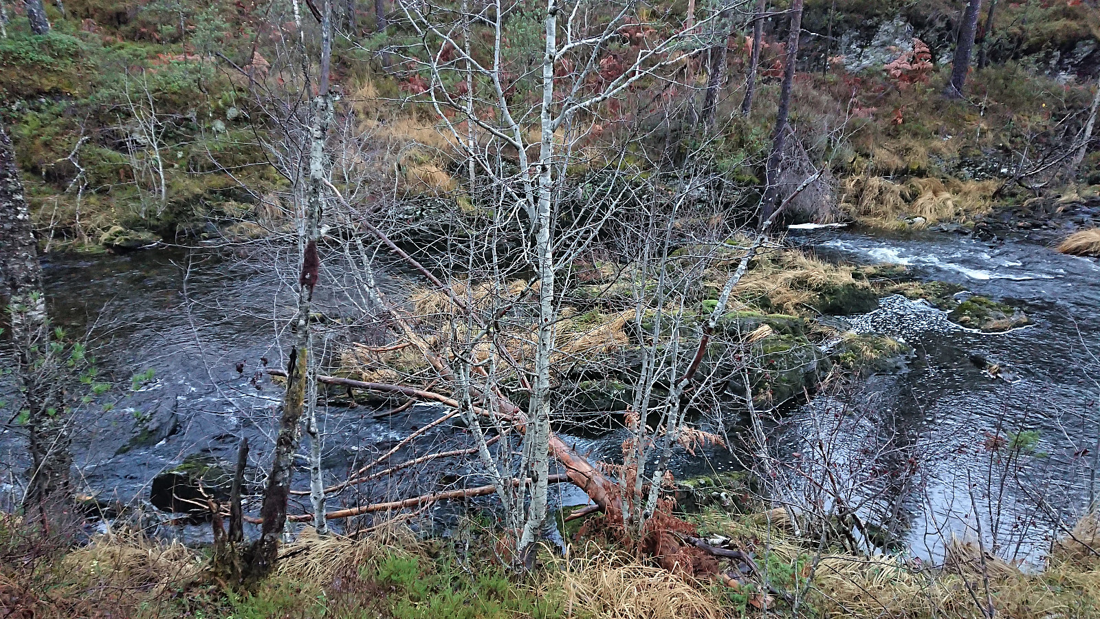
After walking 100 meters south along the main road, we continued west and later south/southwest on a forest road, taking us east of Botnavatnet. When the forest road forked, or at least a smaller weaker forest road headed southwest, we briefly followed in the footsteps of a running deer, and then followed various deer tracks until arriving at the southern end of Botnavatnet. Here we found a decent place to cross the river, no avoiding getting wet though, and after a short stretch of easy scrambling we arrived at what we assumed to be the elusive trail. Most likely it is just a deer track though, we happened upon three of them using the same trail/track shortly after.
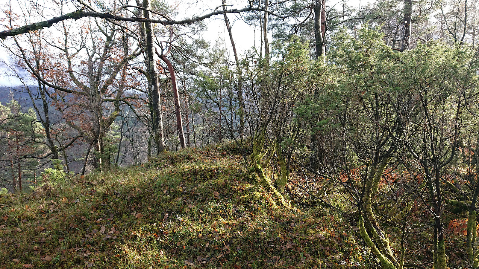
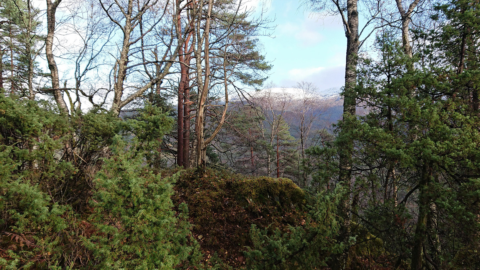
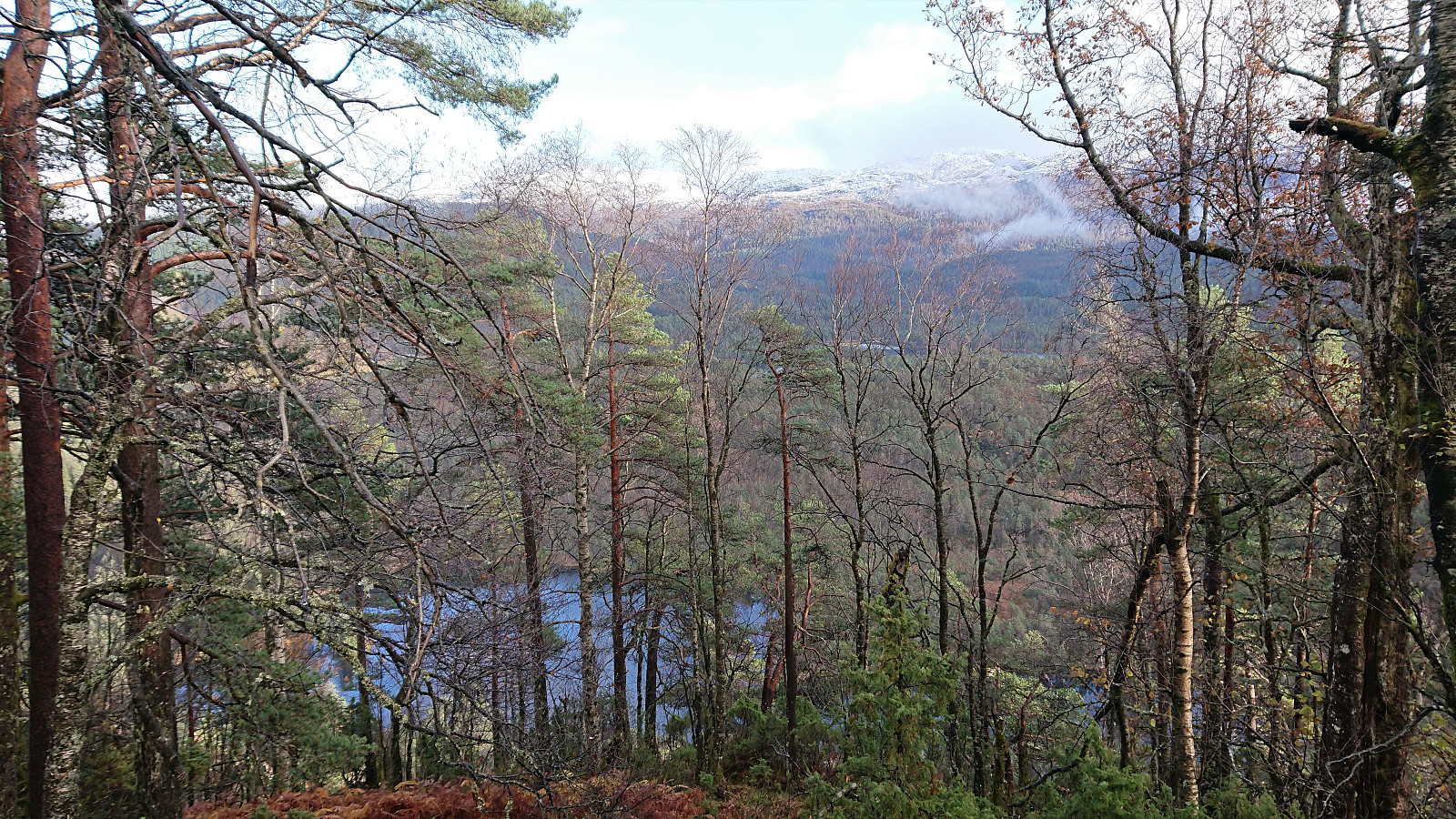
More easy scrambling was required to reach the flat, and thus very wet, area in between the summit ridge and the lower ridge to the northeast. Here we were a bit too eager and headed directly for the summit, resulting in another stretch of scrambling in order to reach the final ridge. But from there it was straightforward to reach the highest point. Very limited views from the summit, with the best views being in between the trees to the east.
For our return, we decided to try the northern route around Botnavatnet, if only to verify that it was indeed as bad as we assumed, and to compare it to our new southern approach. We skipped the scrambling down from the summit ridge, and instead had a much easier descent by heading further north before turning south (spotting yet another deer, the fifth of the hike).
We ascended the ridge to the northeast, and continued northeast until finding a safe place to descend to the east (still pretty steep though). Turning southeast we then tried to find the most direct route back to the earlier forest road. The terrain was a bit tricky at first, but we soon came across a deer track that led us all the way to the river, and even provided an ok location to cross (but again there was no avoiding getting wet). From there it was only another 100 meters before we were back on the forest road.
In summary, reaching Høgehaugen is indeed a bit more tricky that it may appear. However, if following our route south of Botnavatnet in both directions, it can be done without much real difficulty, and this route is most likely recommended over the northern alternative. It does include crossing the river though, and although this can be done without much trouble, be sure to factor this in when choosing which route to go for.
| Start date | 26.10.2019 14:16 (UTC+01:00 DST) |
| End date | 26.10.2019 15:54 (UTC+01:00 DST) |
| Total Time | 1h 37min |
| Moving Time | 1h 26min |
| Stopped Time | 0h 10min |
| Overall Average | 2.7km/h |
| Moving Average | 3.0km/h |
| Distance | 4.3km |
| Vertical meters | 280m |

User comments