Hykkelsåsen (26.10.2019)

| Startpunkt | Medås (157m) |
|---|---|
| Endpunkt | Medås (157m) |
| Tourcharakter | Bergtour |
| Tourlänge | 0h 18min |
| Entfernung | 0,9km |
| Höhenmeter | 59m |
| GPS |
|
| Besteigungen | Hykkelsåsen (189m) | 26.10.2019 13:40 |
|---|
Hykkelsåsen
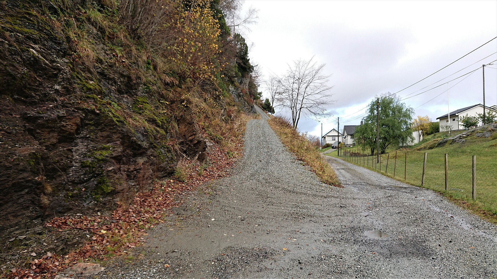
After visiting Dormannsnipen and Beljaråsen, me and Endre (Fjellsamleren (Endre Myrdal Olsen)) continued to Hykkelsåsen. We parked the car next to the road at Medås, after quickly discarding the option to drive up the steep and narrow gravel road towards the antenna west of the main road.
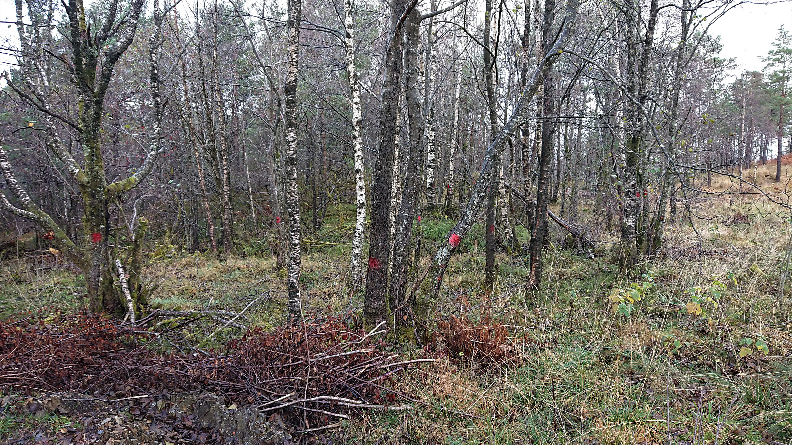
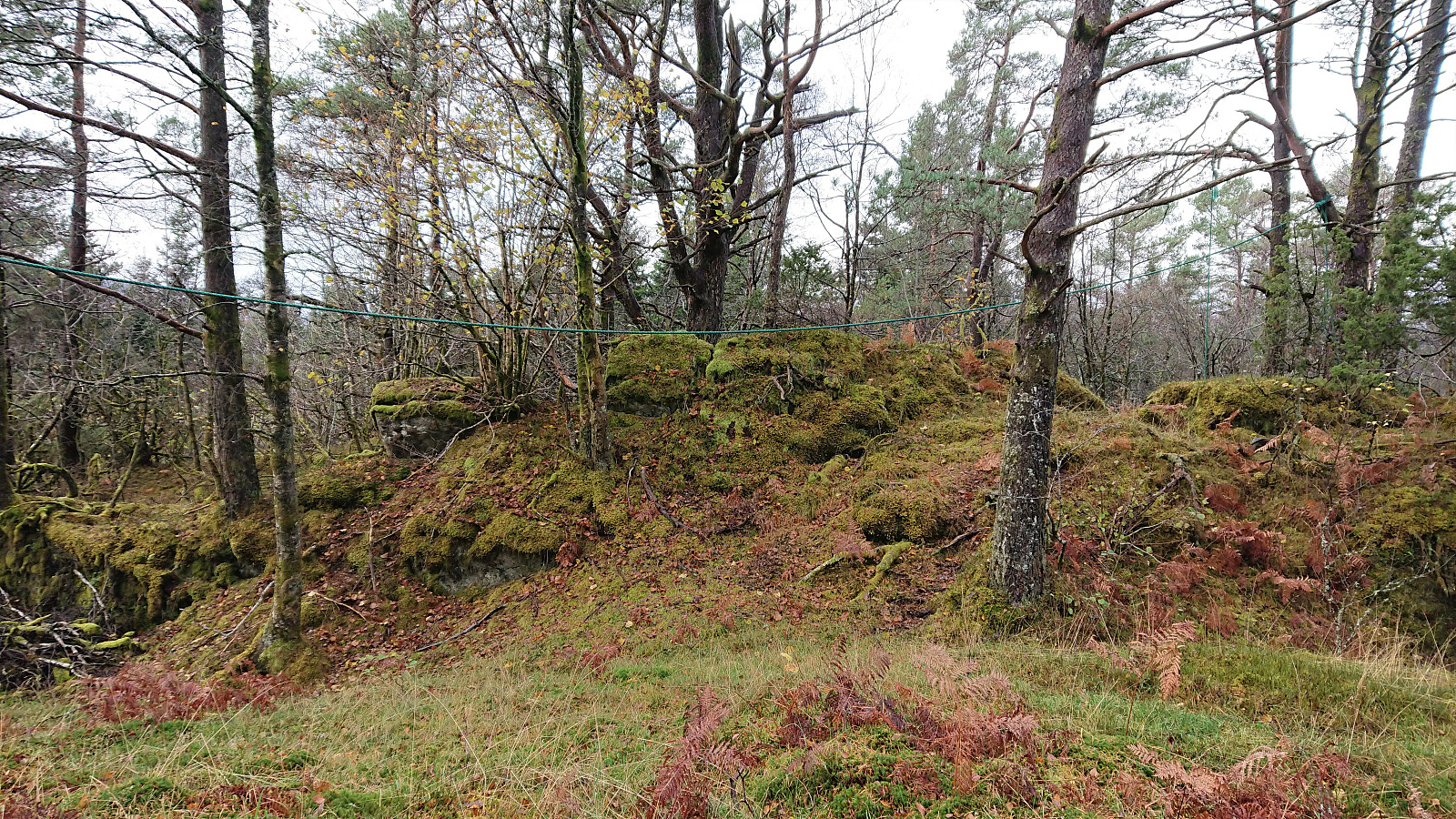
At the top of the gravel road we noticed what we first thought were red trail markers, but it soon became apparent there were simply too many of them, hence these were most likely trees marked for later being cut down for fire wood. We therefore ignored the markings and instead made our own way towards the summit, which was quickly reached, the only minor obstacle being an electric fence that could easily be traversed.
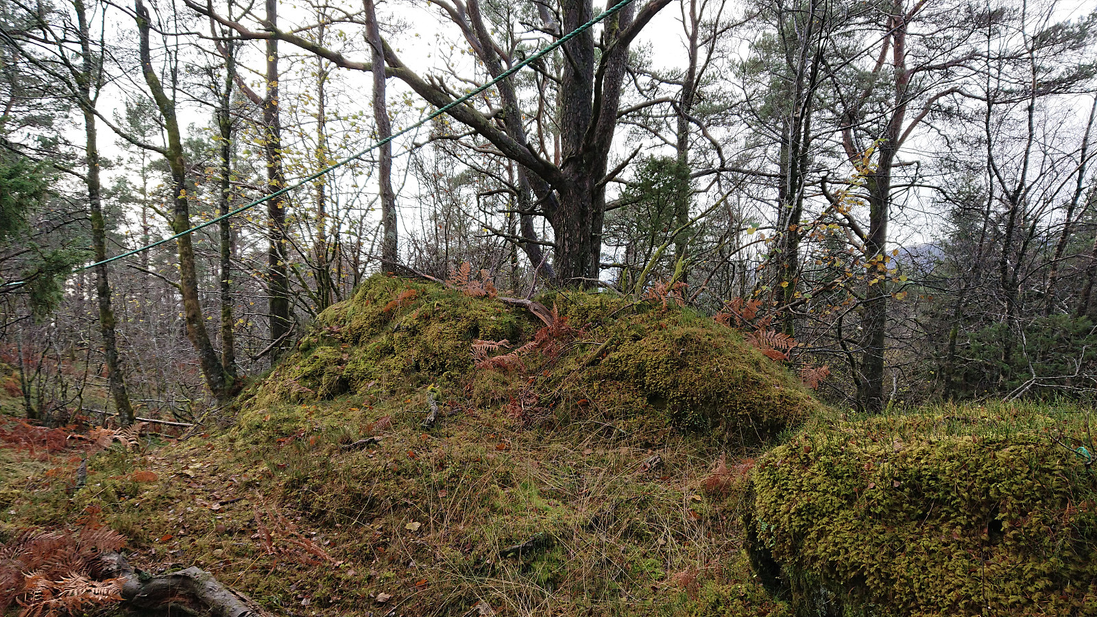
As expected, there were next to no views from the summit. There was however some sort of outdoor gym set up, with ropes to climb and bars that could be used for pull-ups. Endre had a quick go at climbing the ropes before we returned to the car along a slightly different route, which actually shortly turned into a tractor road before we reconnected with the gravel road.
| Startzeitpunkt | 26.10.2019 13:41 (UTC+01:00 SZ) |
| Endzeitpunkt | 26.10.2019 13:59 (UTC+01:00 SZ) |
| Gesamtzeit | 0h 18min |
| Zeit in Bewegung | 0h 15min |
| Pausenzeit | 0h 3min |
| Gesamtschnitt | 3,0km/h |
| Bewegungsschnitt | 3,7km/h |
| Entfernung | 0,9km |
| Höhenmeter | 58m |

Benutzerkommentare