Mykkeltveitveten from Evanger (roundtrip) (20.10.2019)

| Startsted | Evanger (17moh) |
|---|---|
| Sluttsted | Evanger (17moh) |
| Turtype | Fjelltur |
| Turlengde | 6t 05min |
| Distanse | 20,5km |
| Høydemeter | 1275m |
| GPS |
|
| Bestigninger | Middagsknolten (848moh) | 20.10.2019 |
|---|---|---|
| Mykkeltveitveten (1132moh) | 20.10.2019 | |
| Taugafjellet (735moh) | 20.10.2019 | |
| Andre besøkte PBE'er | Evanger stasjon (17moh) | 20.10.2019 |
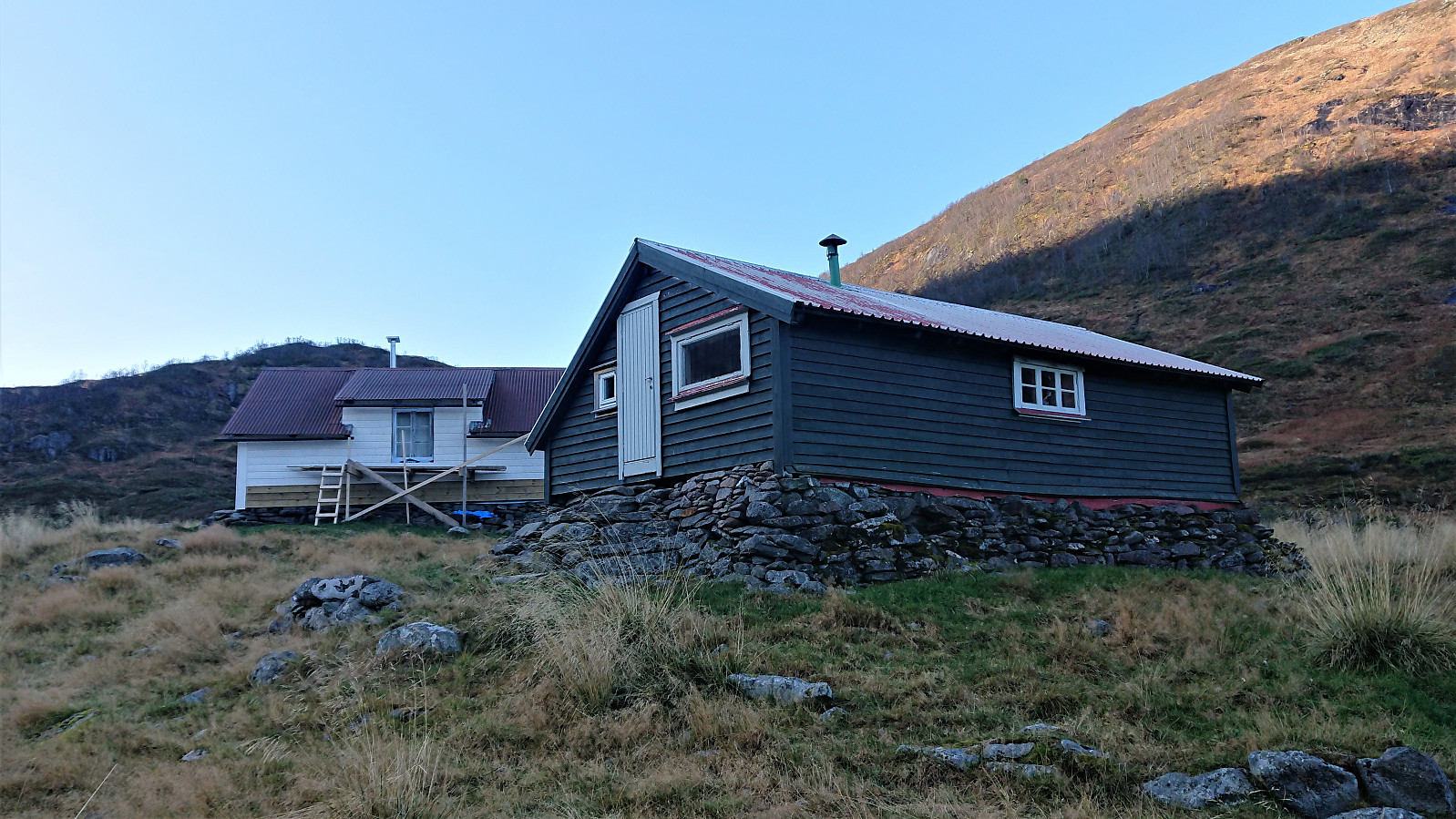
| Mykkeltveitstølen (478moh) | 20.10.2019 | |
| Mykkeltveitvegen bom (52moh) | 20.10.2019 | |
| Stølselvi gangbru (470moh) | 20.10.2019 | |
| Taugafjellet trigpunkt (707moh) | 20.10.2019 | |
| Tverrelvi gangbru (460moh) | 20.10.2019 | |
| Vossedalstølen (606moh) | 20.10.2019 |
Mykkeltveitveten from Evanger (roundtrip)
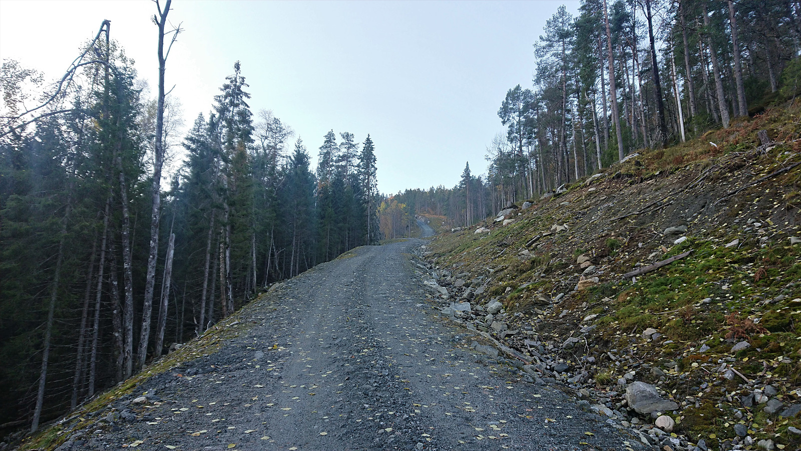
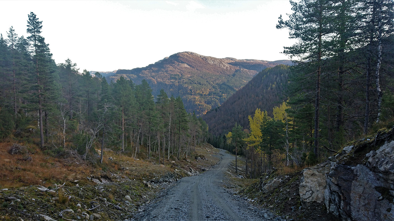
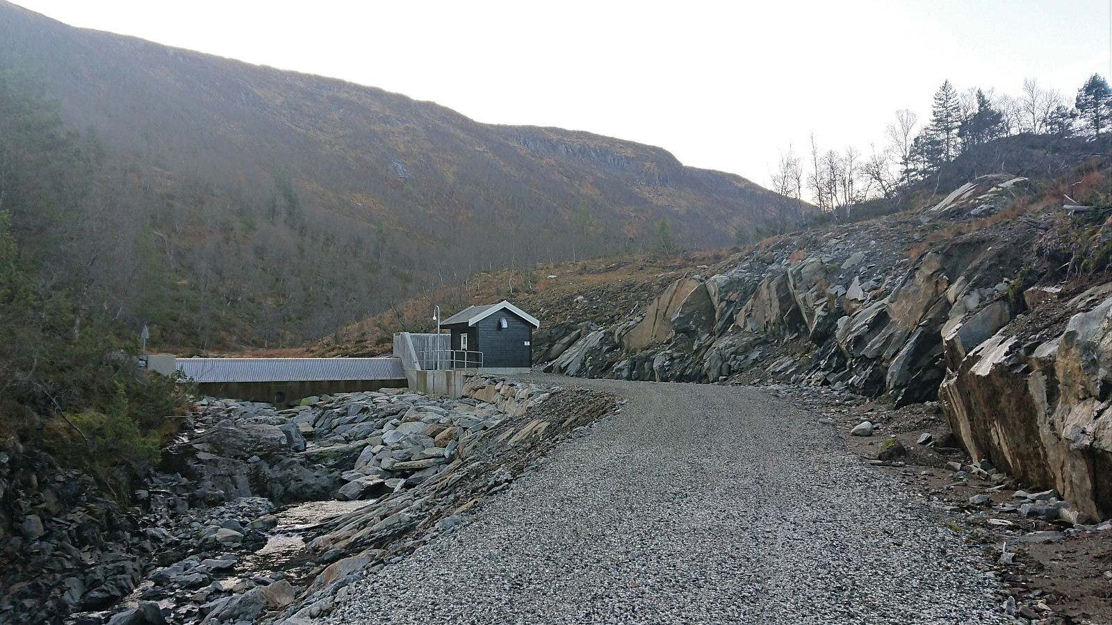
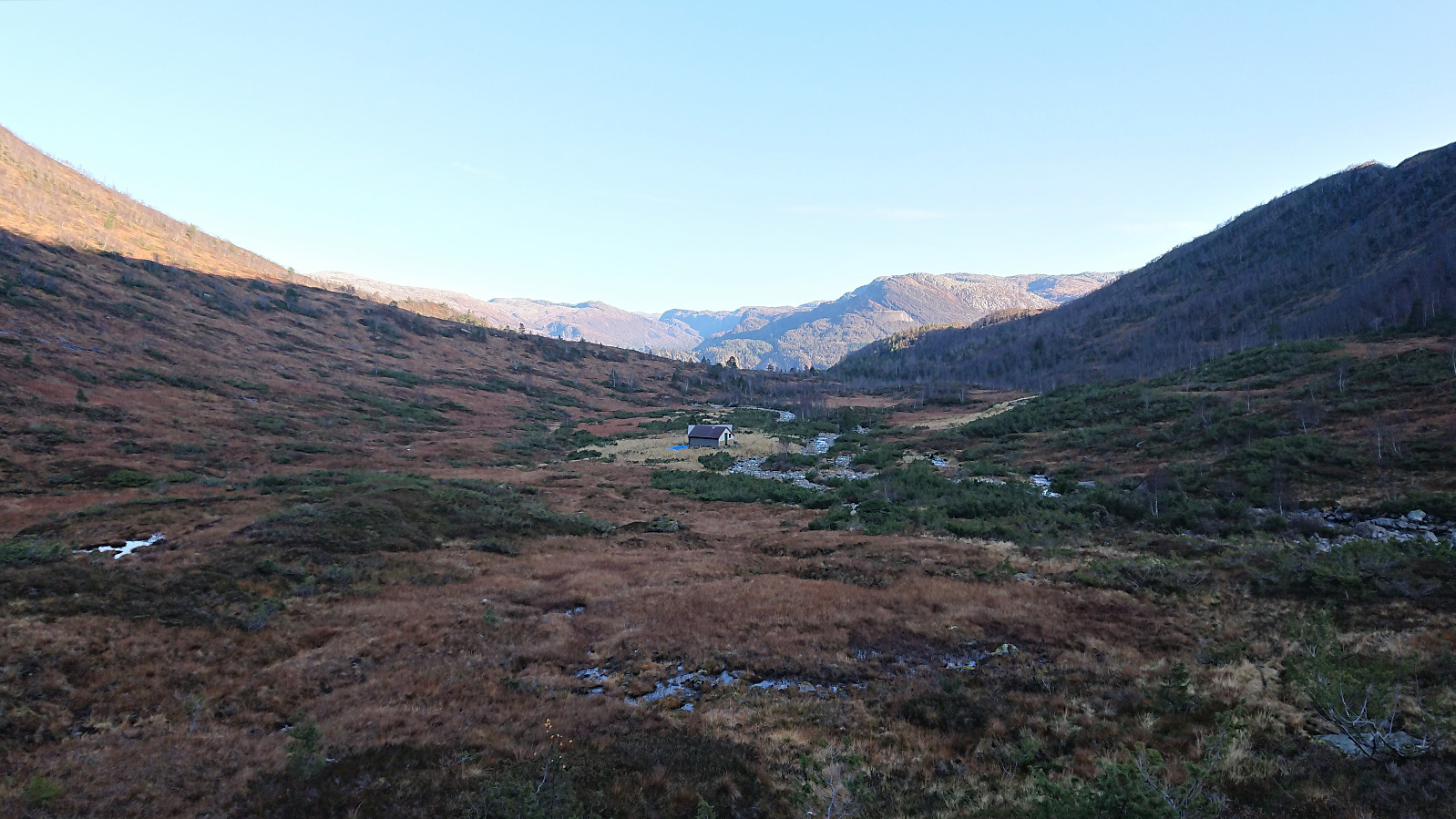
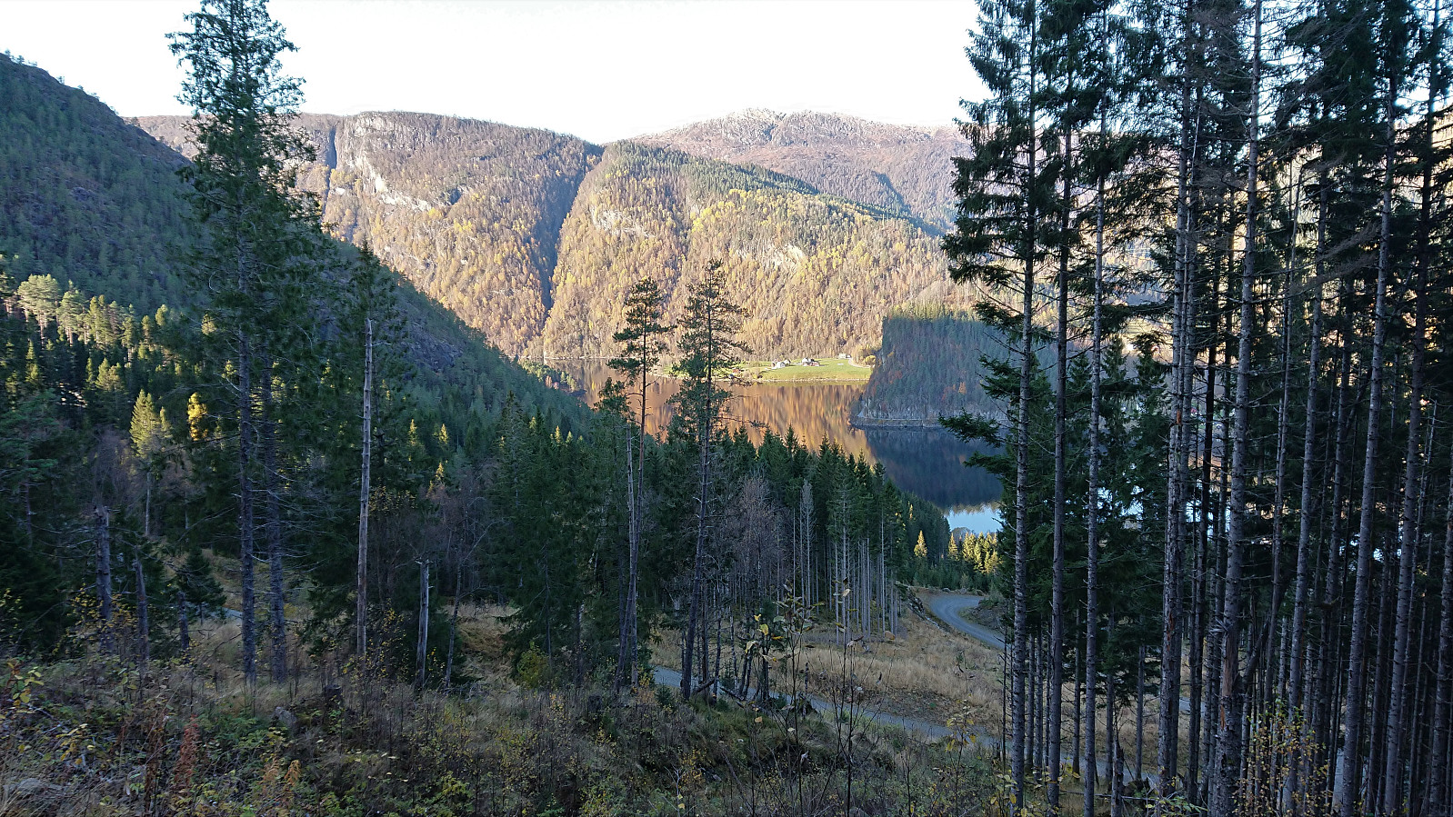
Took the train to Evanger and from there walked along the gravel road up Vossedalen. The gravel road continued much longer than expected and did not come to an end until around 800 meters north of Vossedalstølen. When the road ended I realized that I had missed the start of the trail 200 meters earlier, but instead of going back I headed diagonally southwest, assuming I would connect with the trail soon enough.
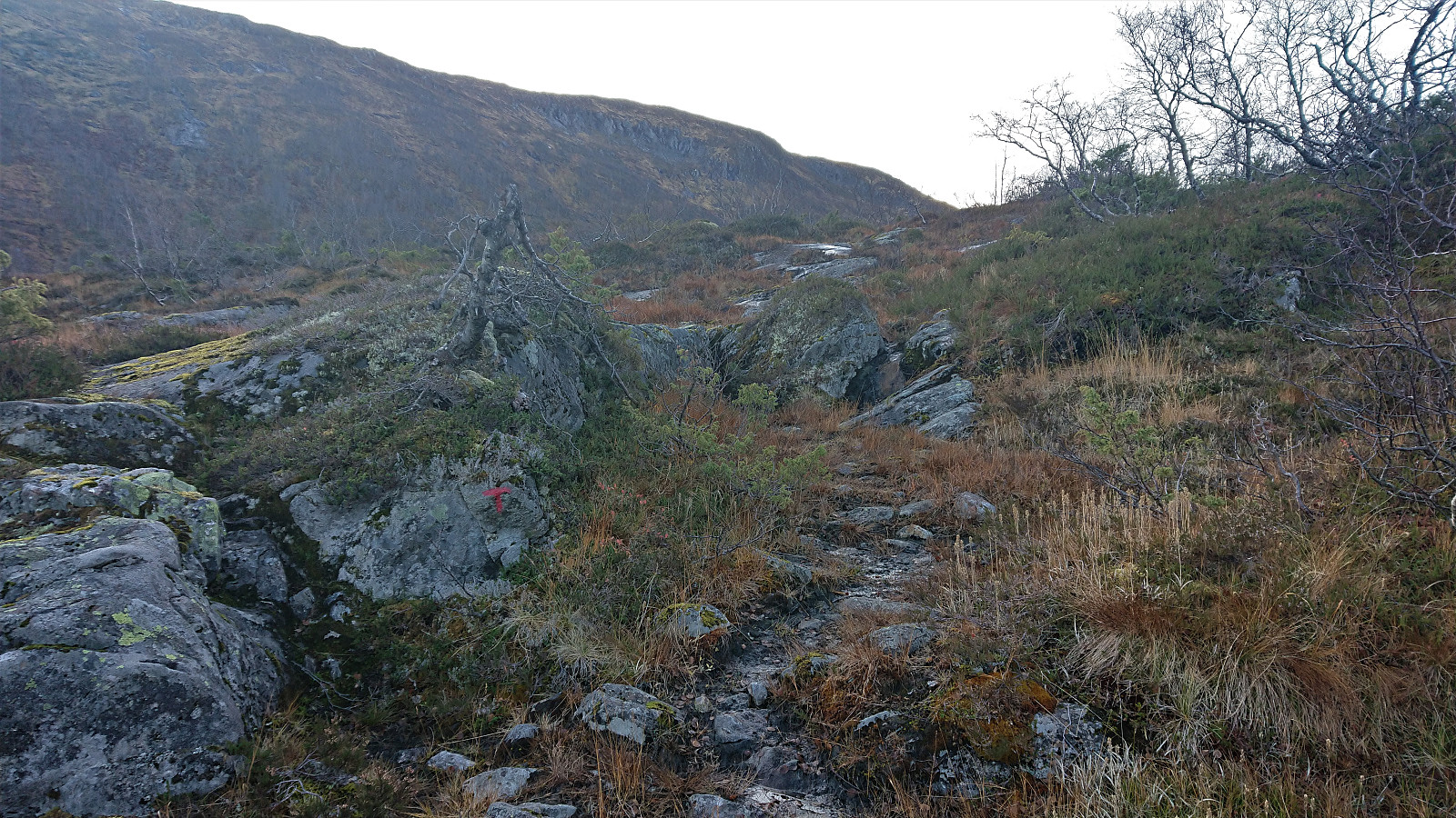
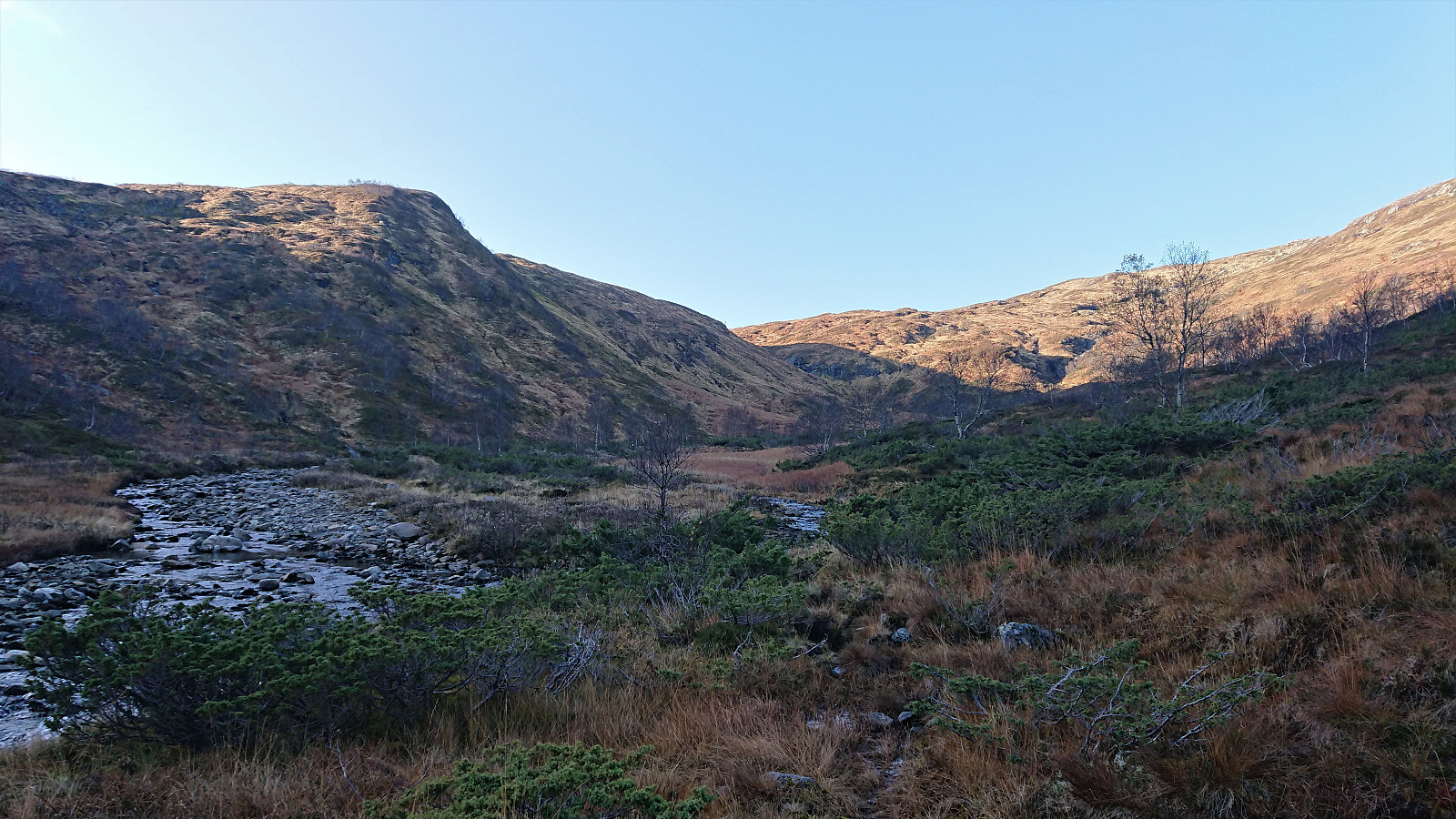
A sign at the start of the hike had indicated that there should be a marked trail, but while the trail I soon came across was marked with a red T, this would be the only marker I would find. Not too long after passing Vossedalstølen the trail pretty much disappeared completely, and though I made attempts at relocating it, I could not find any traces of it.
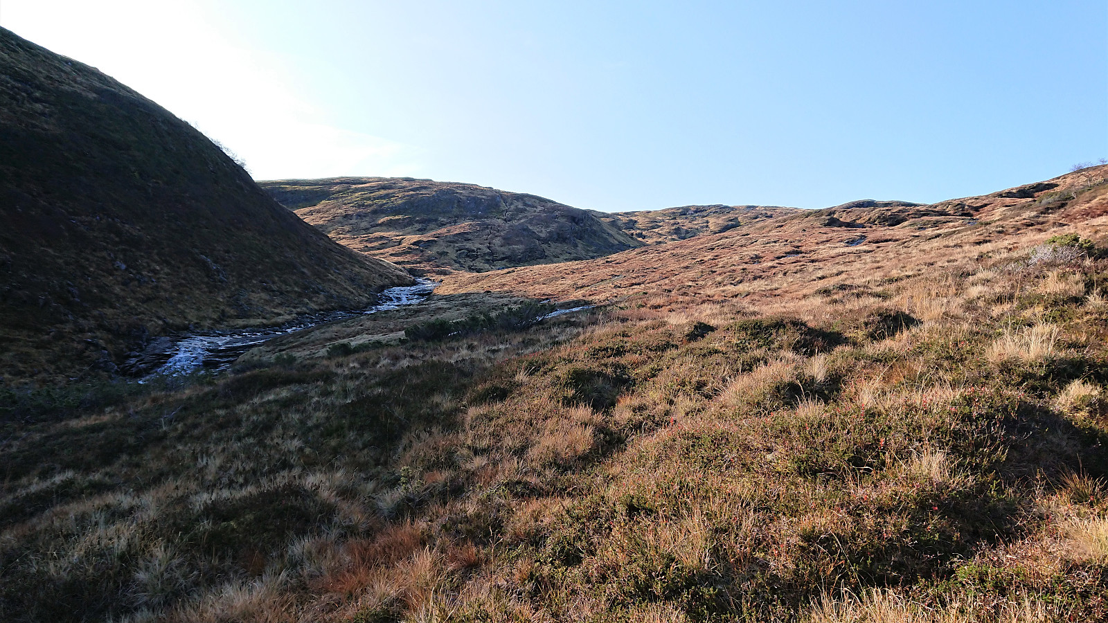
I still more or less followed the route of where the trail was indicated on the map, taking me west of Skåpet and up to Velebotnen. Here I located a good spot to cross the small river, and after a bit of light climbing I reached the plateau north of Loddevarden. I aimed for the 846 hill, assuming I would find the cairn there, but to my surprise there was no cairn at this hill at all. I did see a fairly prominent cairn 100 meters or so to the north though, but I did not go back to have a closer look.
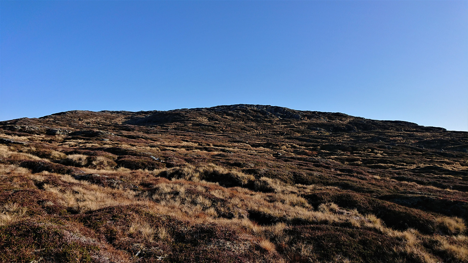
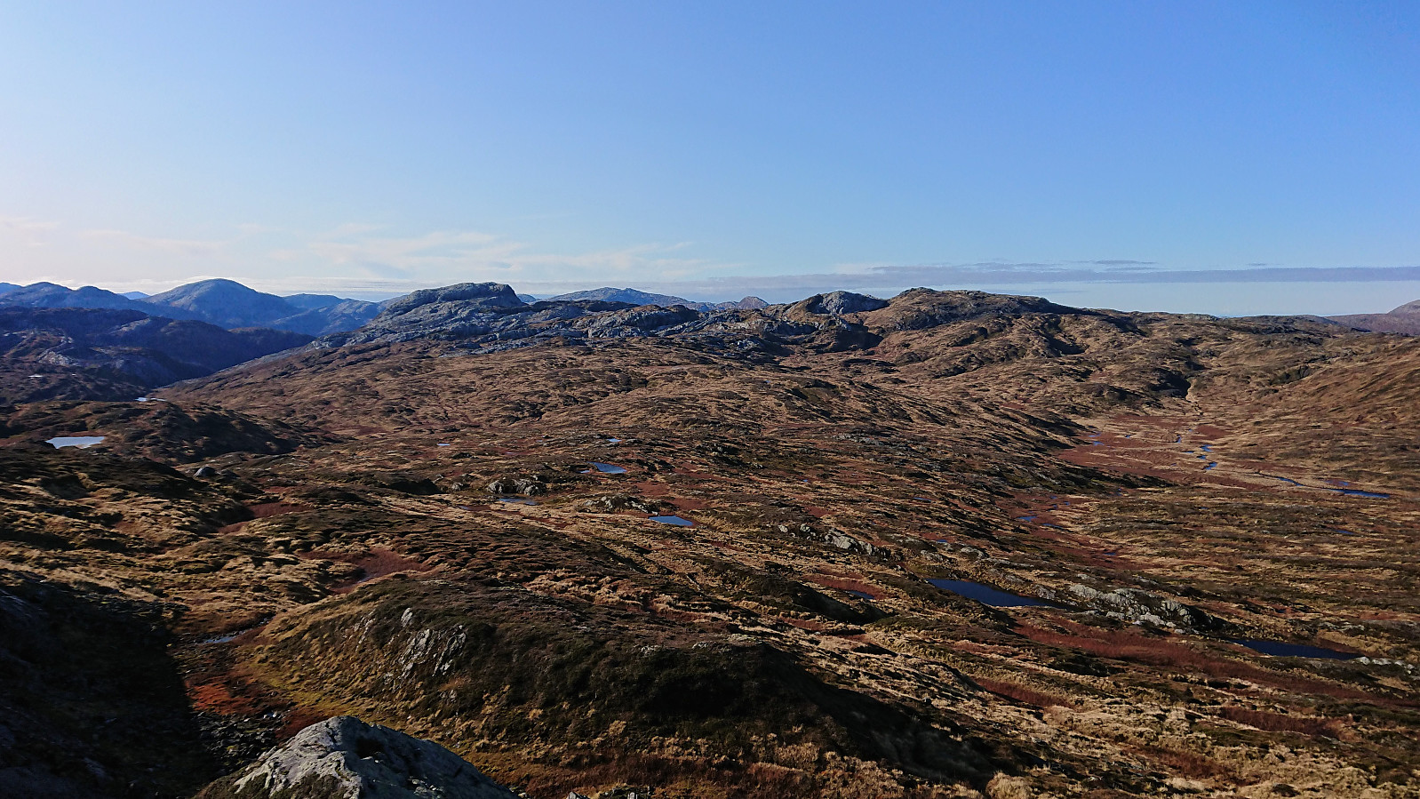
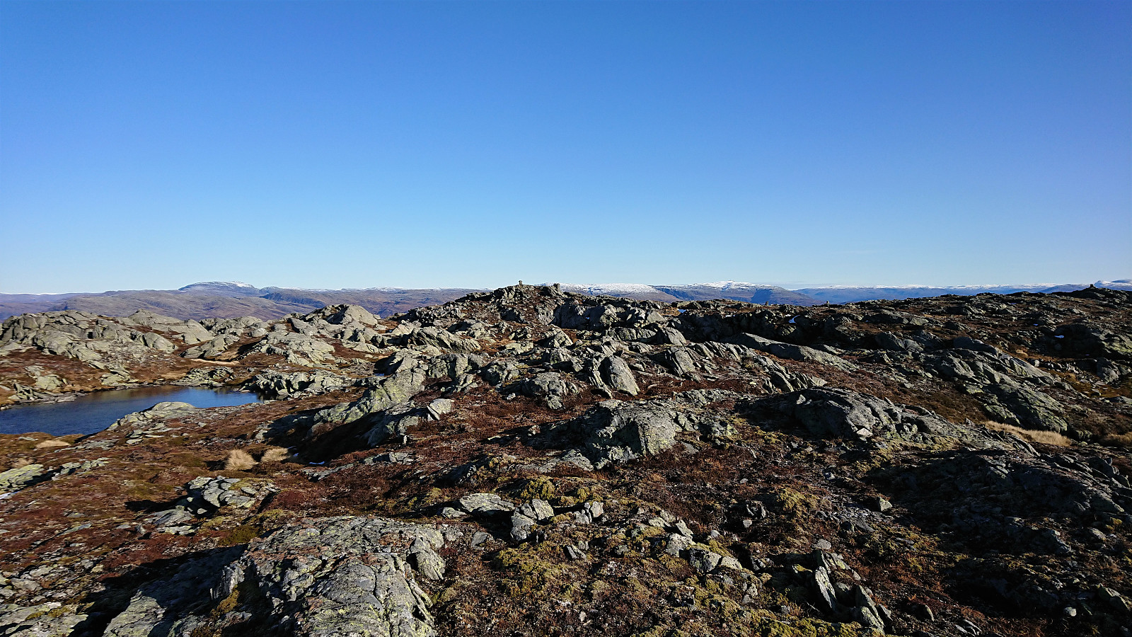
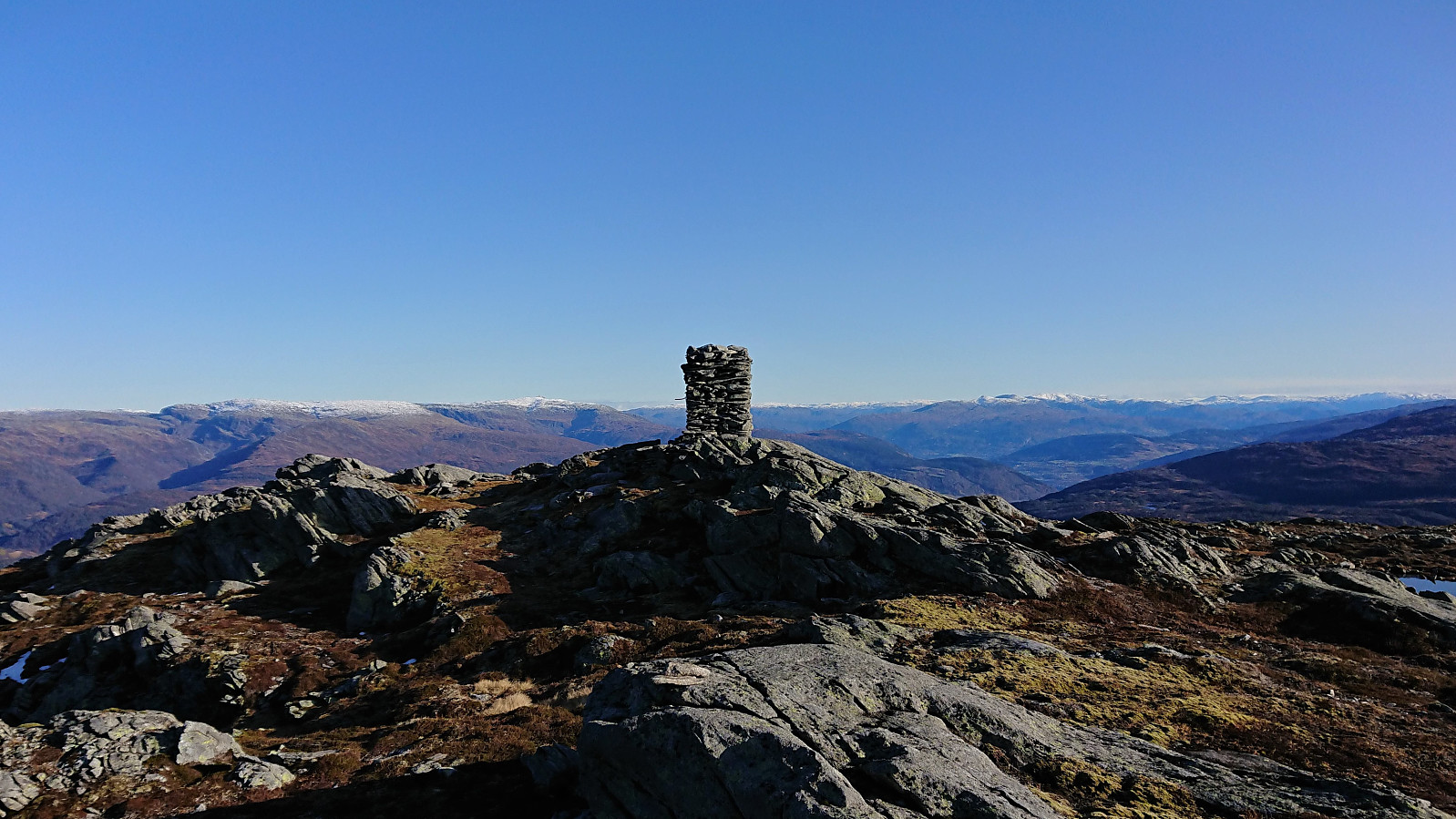
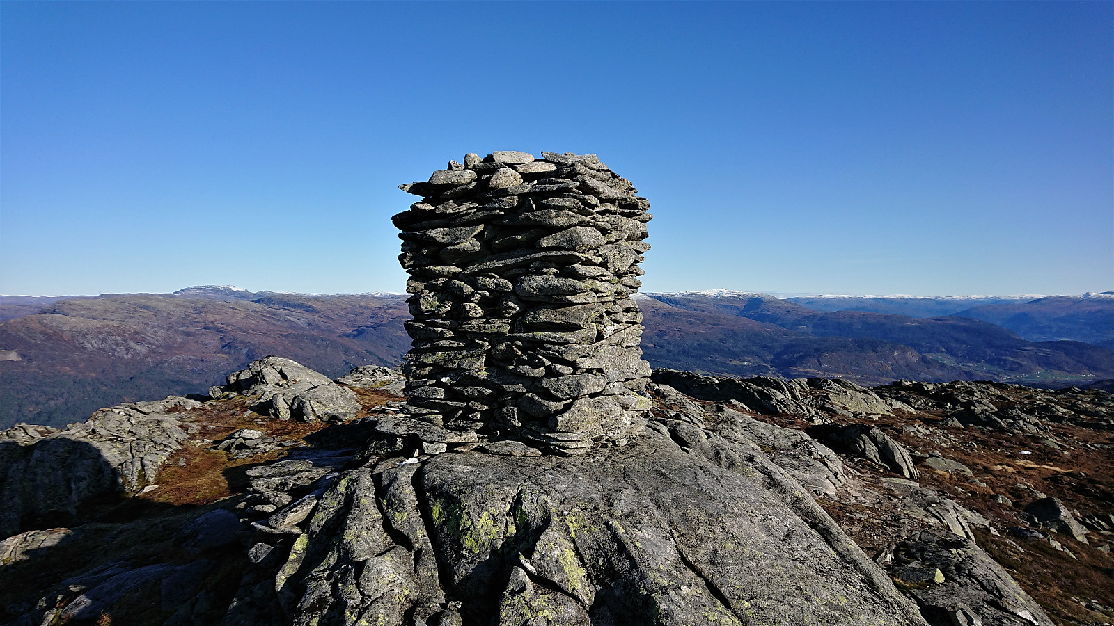
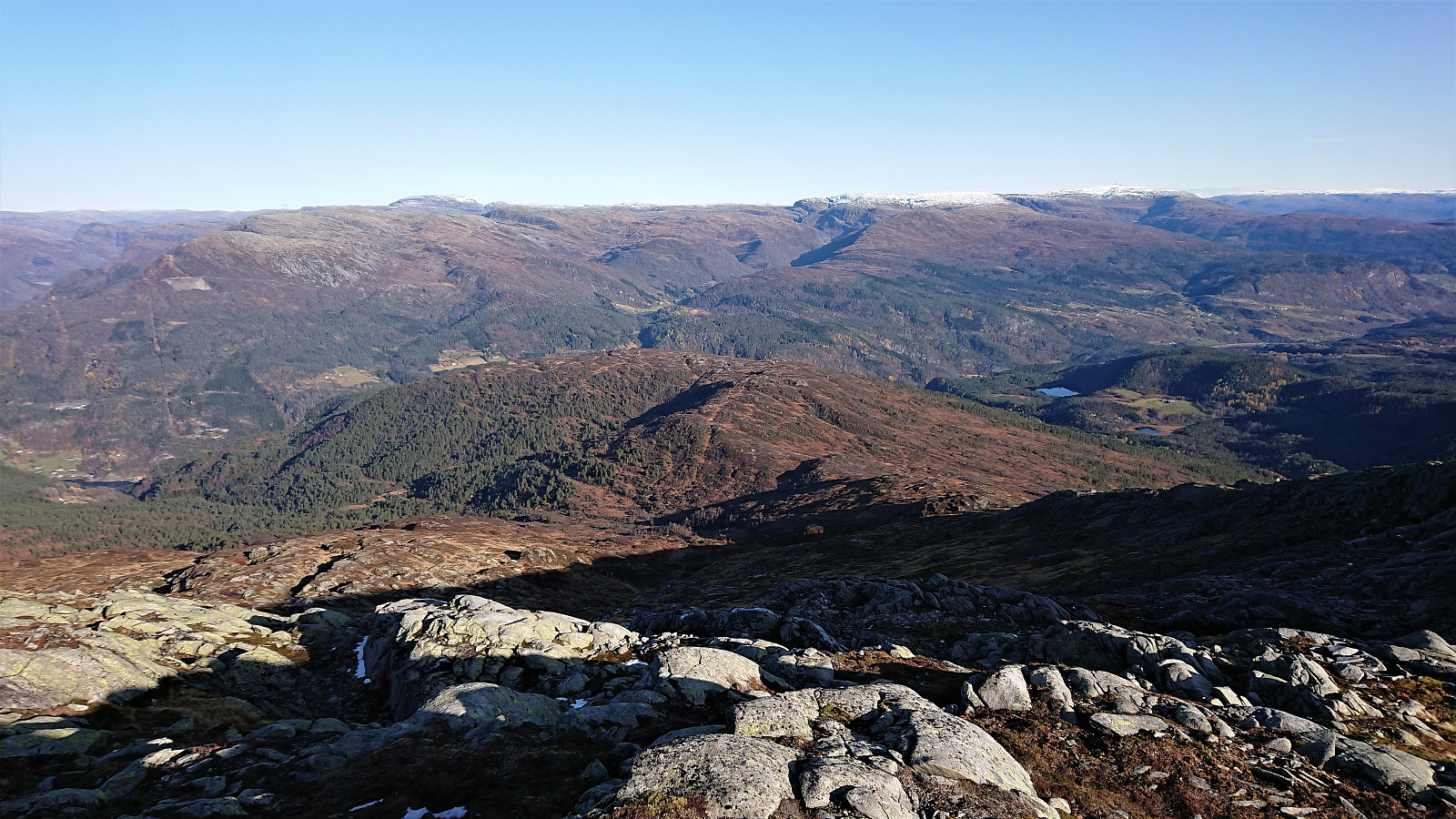
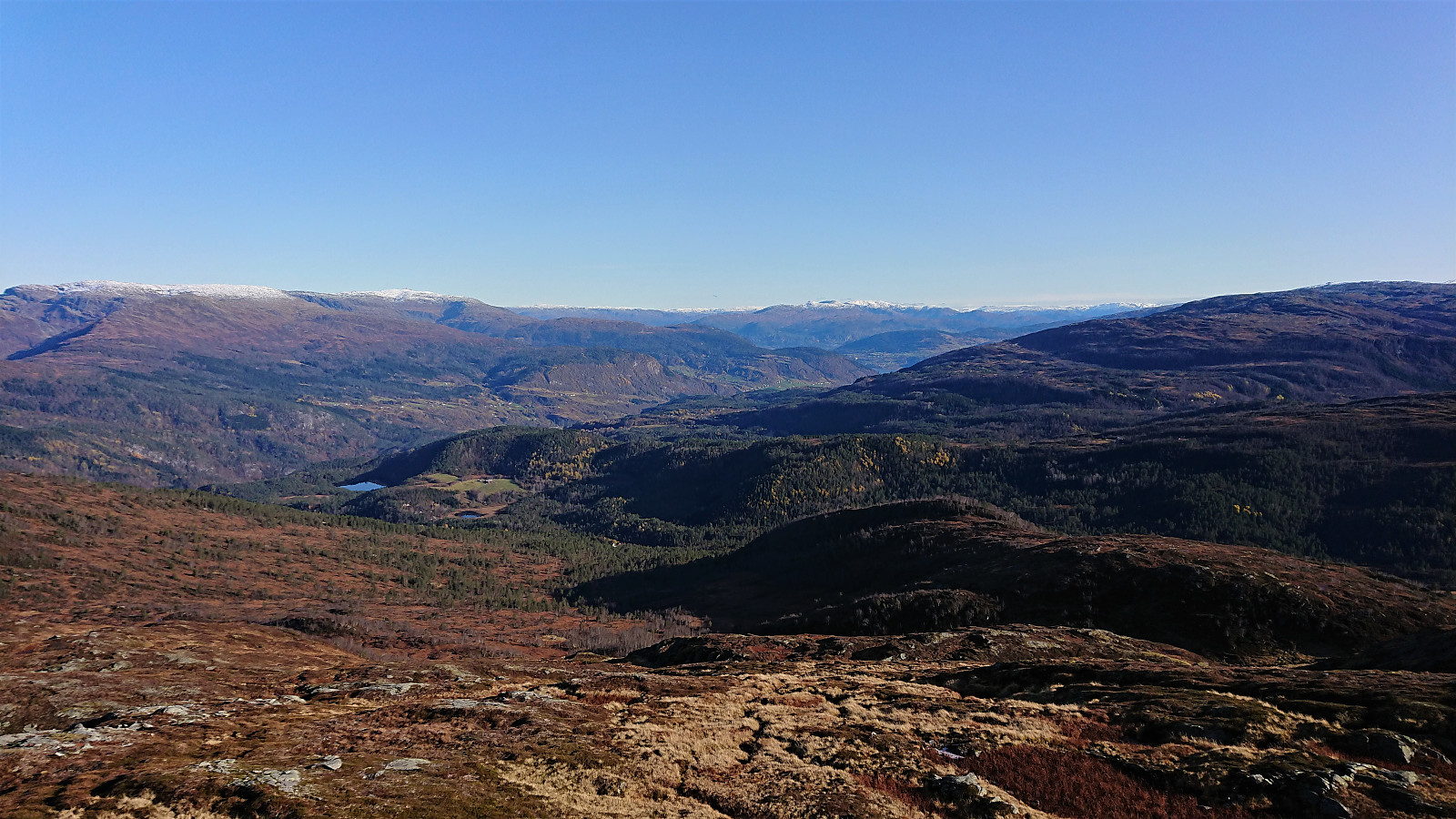
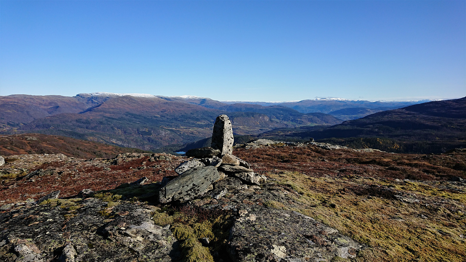
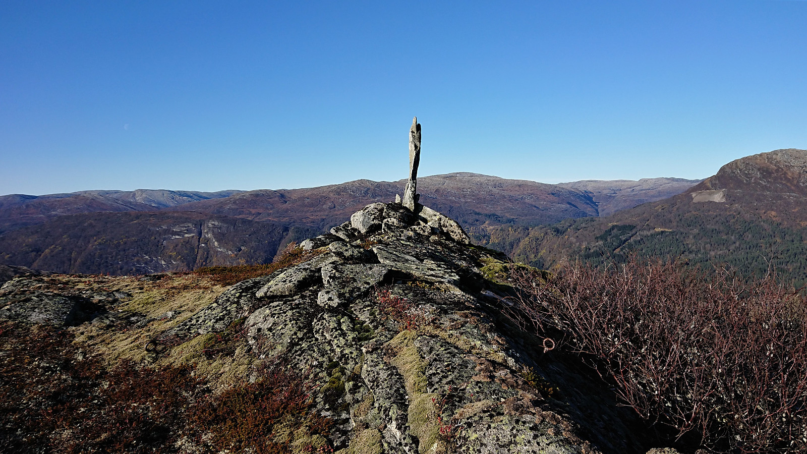
Instead I turned east/northeast towards Mykkeltveitveten and started the final ascent to the summit, in overall easy terrain. The summit provided excellent views in all directions. Due to a cold wind at the large cairn, I did however not stay very long after signing the visitor register, and rather continued northeast for a short break and a quick lunch.
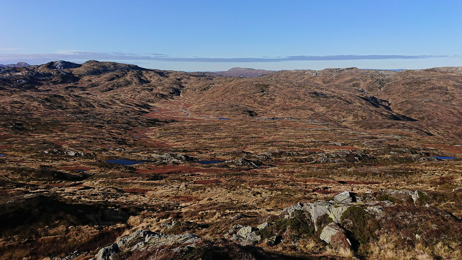
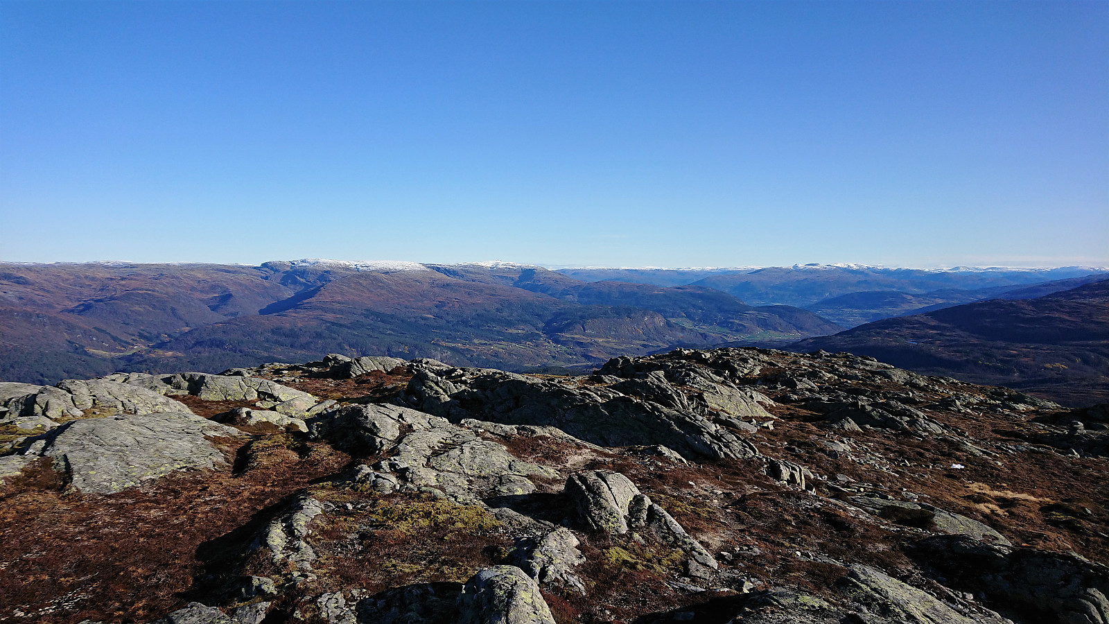
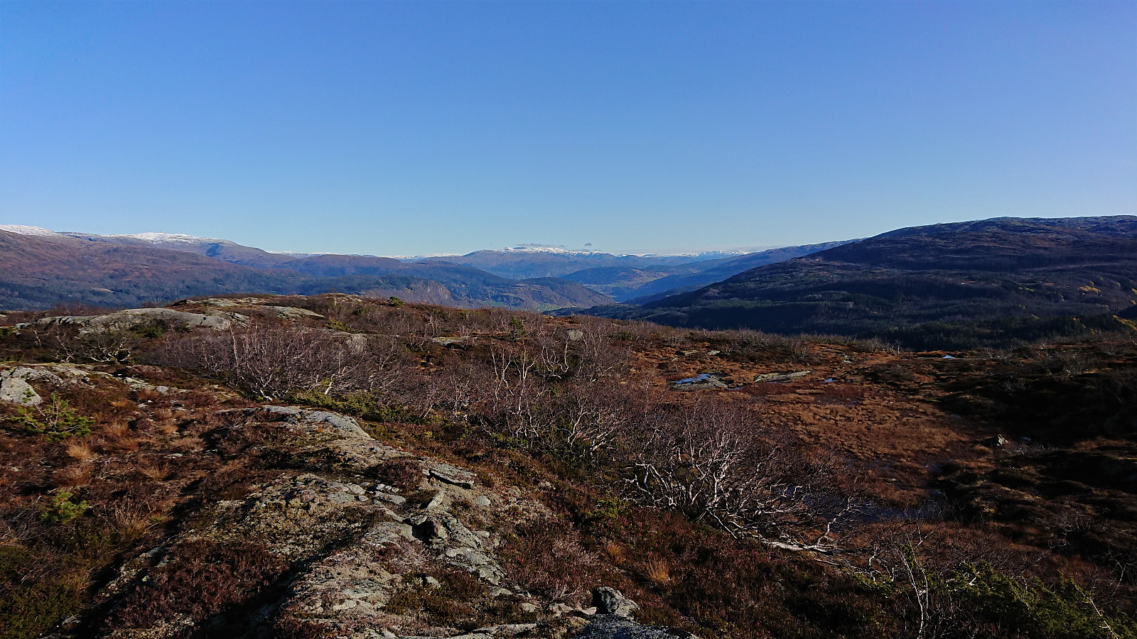
From there I followed the ridge northeast, passing by Middagsknolten on my way to Taugafjellet. Partly on a weak trail that got a bit easier to see the further down I got. The trail continued across Taugafjellet, but I decided not to create a new PB-element as there were too many potential summits to choose from.
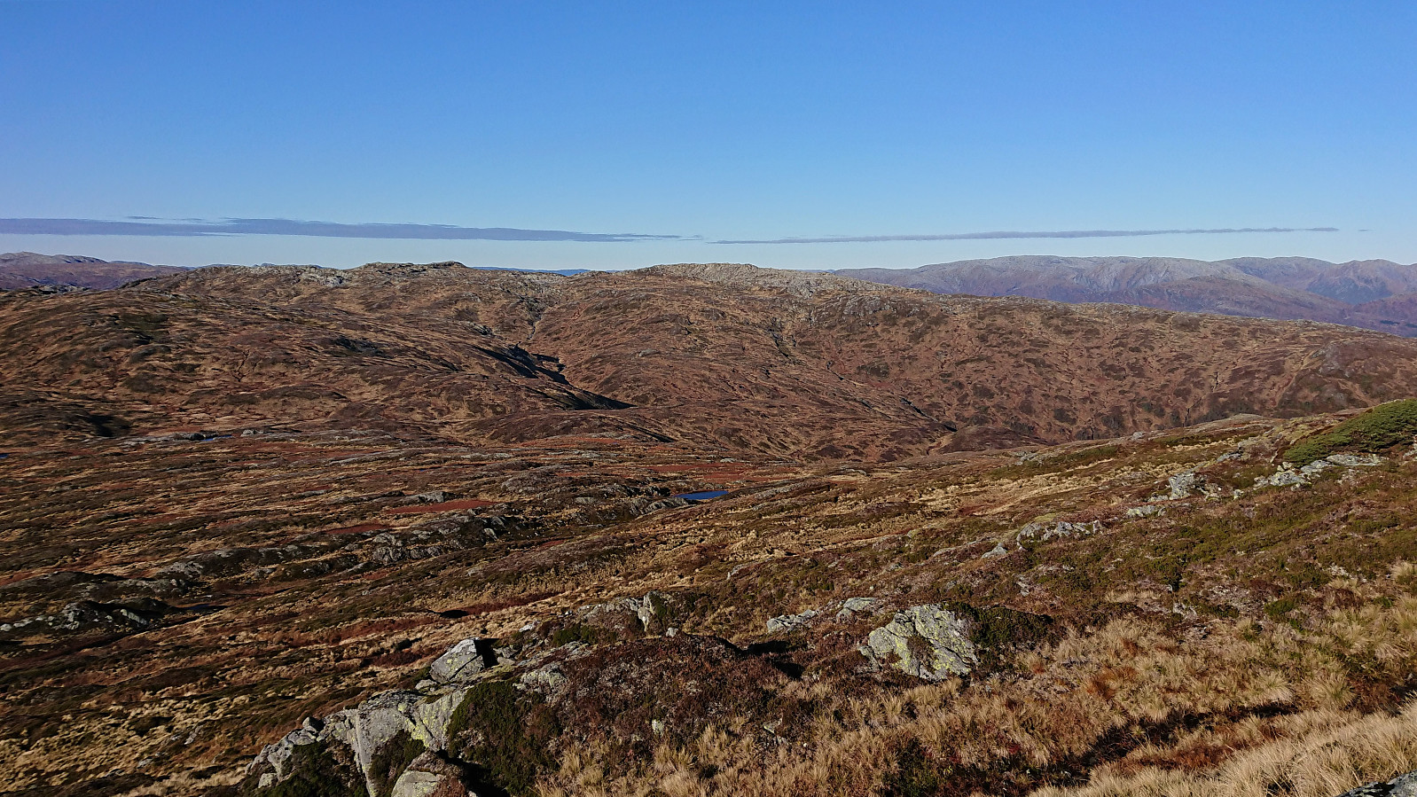
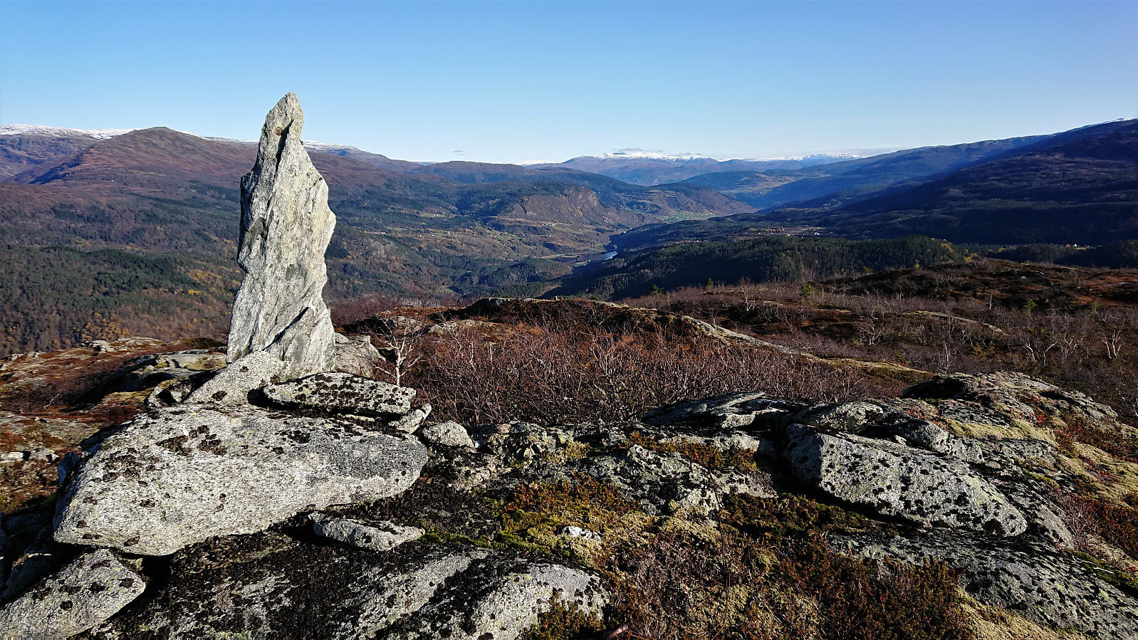
Shortly after leaving the summit area behind the weak trail disappeared completely, and I had to make my own way in relatively open terrain towards the trig marker to the north. Not a lot left of the trig marker itself, but a vertical rock had been erected in its place and partly taking over the job of the trig marker.
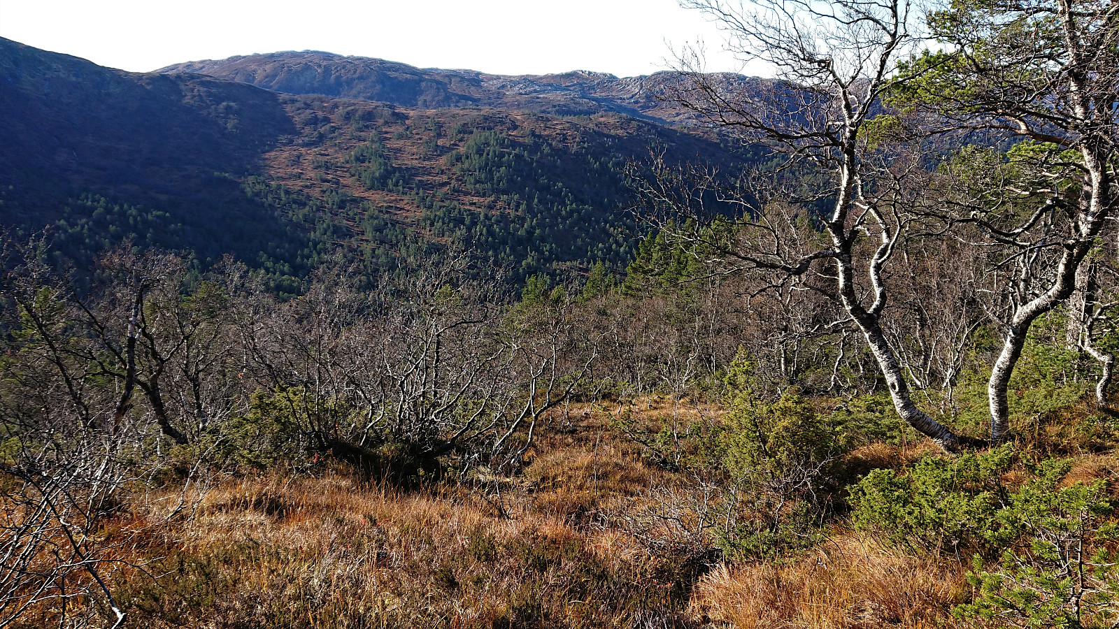
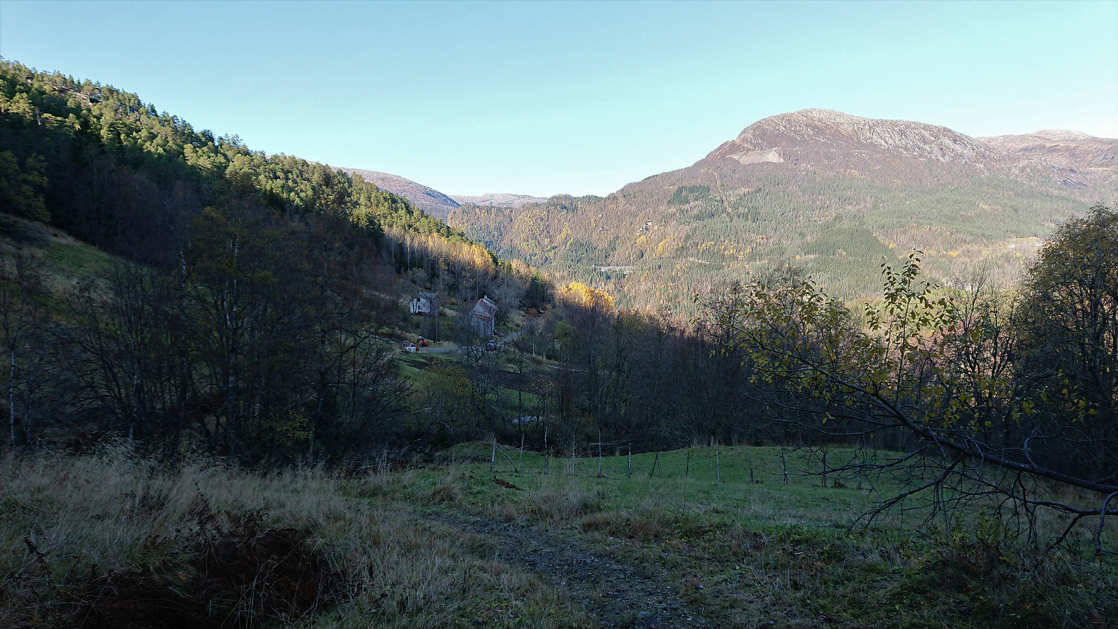
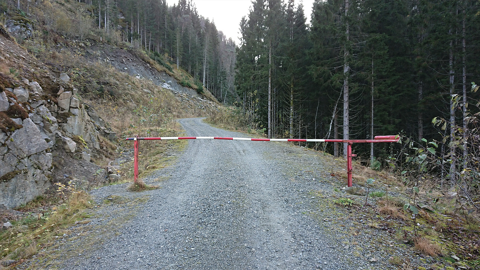
I then turned west and found a reasonable route down to Mykkeltveitstølen. Overall unproblematic and straightforward to avoid any steep areas, but also rather wet. After finally reaching Mykkeltveitstølen, I followed a very wet trail down to the tractor road above Mykkeltveit, and then a nice gravel took me all the way back to Evanger. Note that while it is possible to drive up to Mykkeltveit, this requires being able to unlock a barrier close to the bottom of the road, i.e. not an option for most hikers.
In summary, a nice hike with excellent views, but overall a lot less good-quality trails than expected. The extended gravel road up Vossedalen was also a surprise.


| Starttidspunkt | 20.10.2019 09:37 (UTC+01:00 ST) |
| Sluttidspunkt | 20.10.2019 15:43 (UTC+01:00 ST) |
| Totaltid | 6t 05min |
| Bevegelsestid | 5t 35min |
| Pausetid | 0t 29min |
| Snittfart totalt | 3,4km/t |
| Snittfart bevegelsestid | 3,7km/t |
| Distanse | 20,5km |
| Høydemeter | 1275m |

Kommentarer