Råsefjellet and Horga (29.09.2019)

| Startpunkt | Øvre Sætravatnet P-plass (354m) |
|---|---|
| Endpunkt | Øvre Sætravatnet P-plass (354m) |
| Tourcharakter | Bergtour |
| Tourlänge | 7h 37min |
| Entfernung | 19,4km |
| Höhenmeter | 1.223m |
| GPS |
|
| Besteigungen | Horga (802m) | 29.09.2019 |
|---|---|---|
| Råsefjellet (593m) | 29.09.2019 | |
| Besuche anderer PBE | Kalvedalshytta (427m) | 29.09.2019 |
| Paddesætret (350m) | 29.09.2019 | |
| Steinsetdalssætret (440m) | 29.09.2019 | |
| Stussdalen-Sætravatnet kr. 40 (220m) | 29.09.2019 | |
| Øvre Sætravatnet p-plass (355m) | 29.09.2019 |
Råsefjellet and Horga
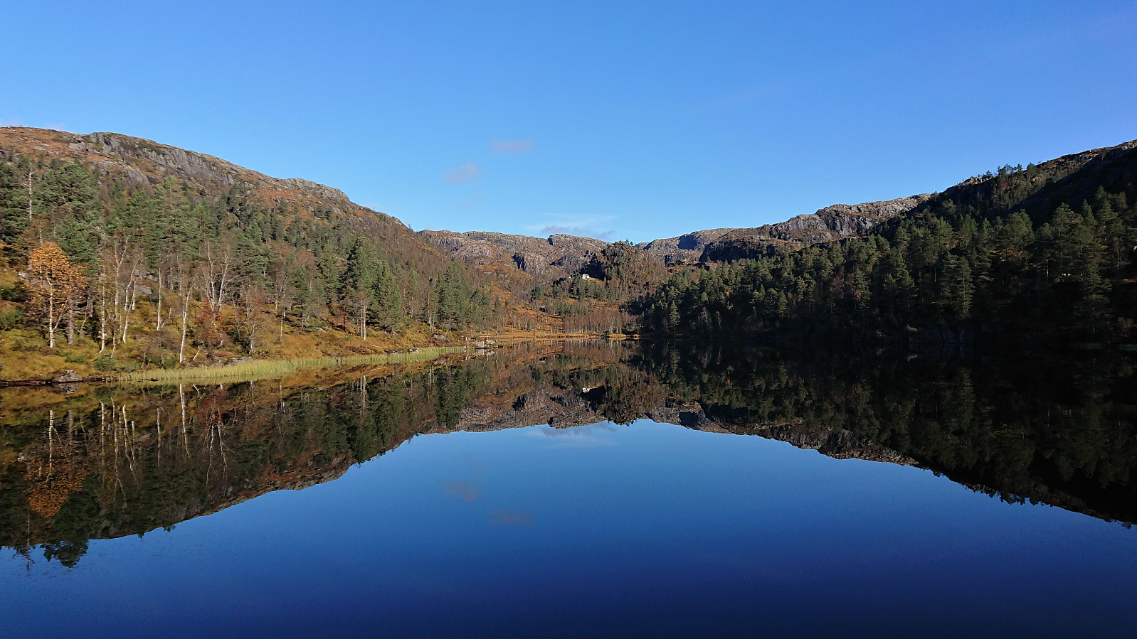
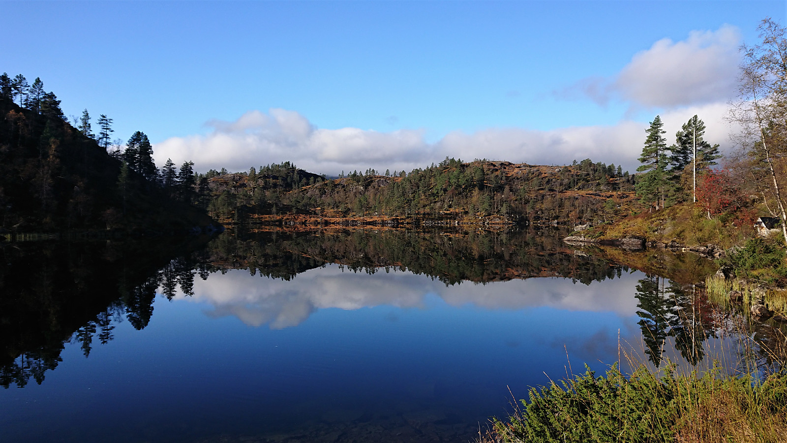


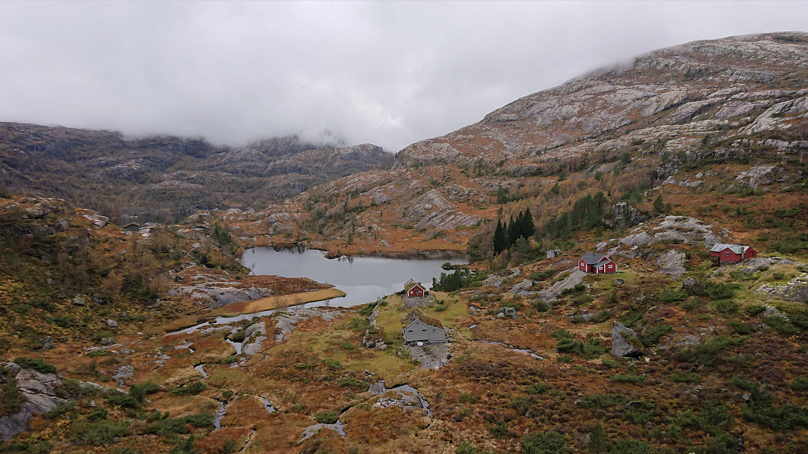
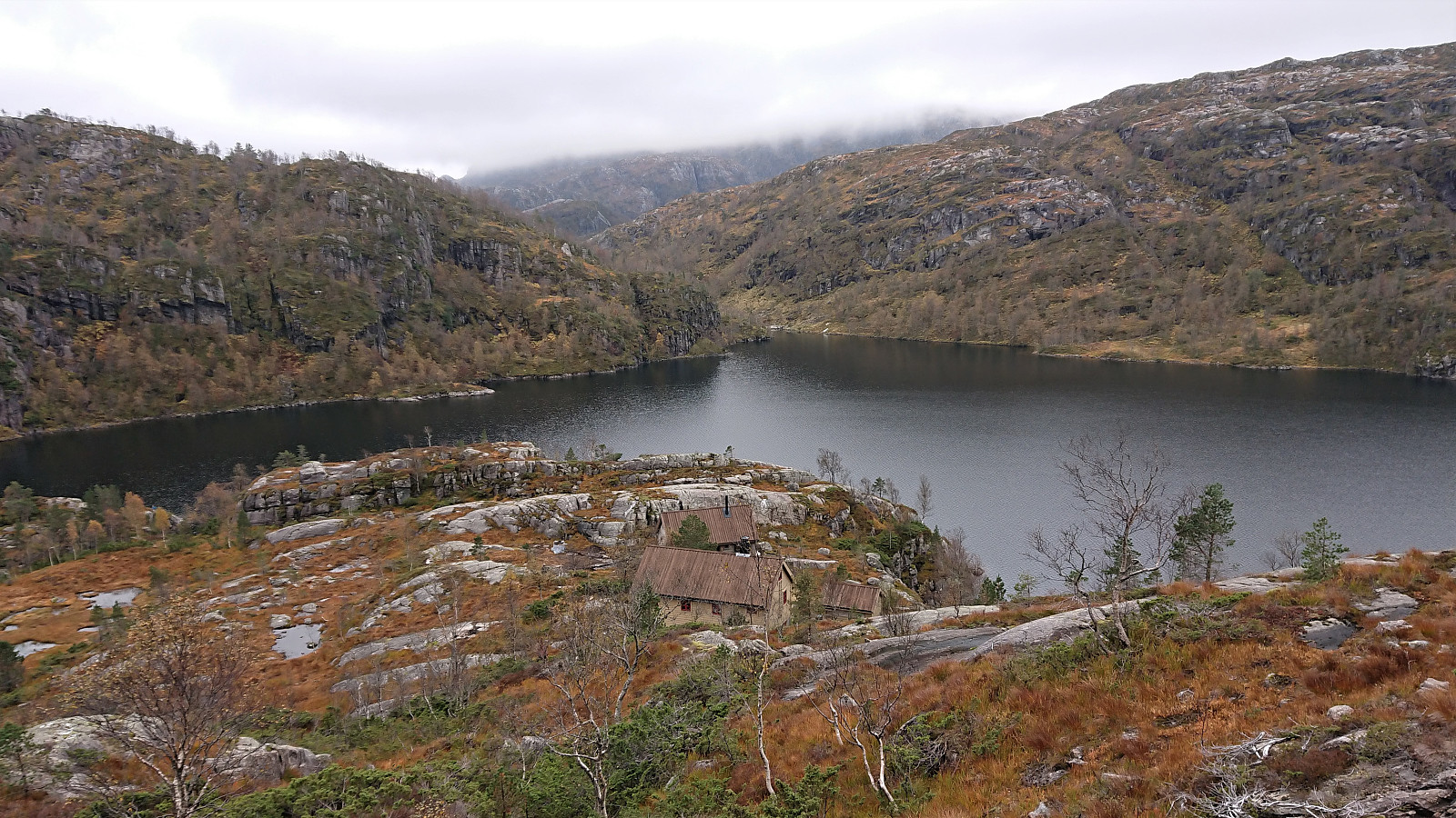
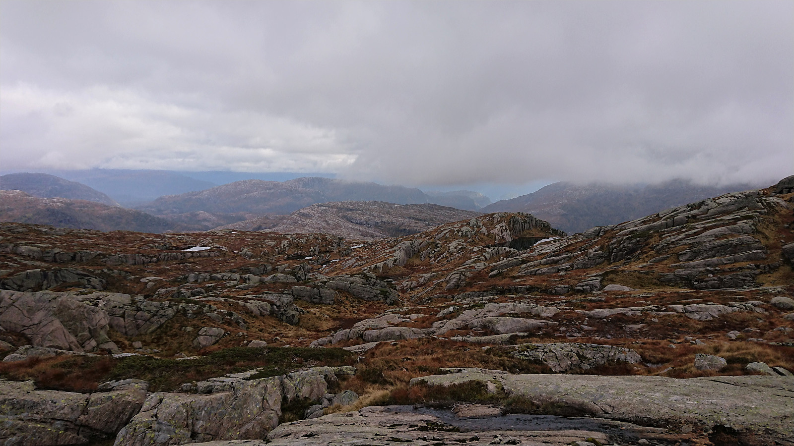
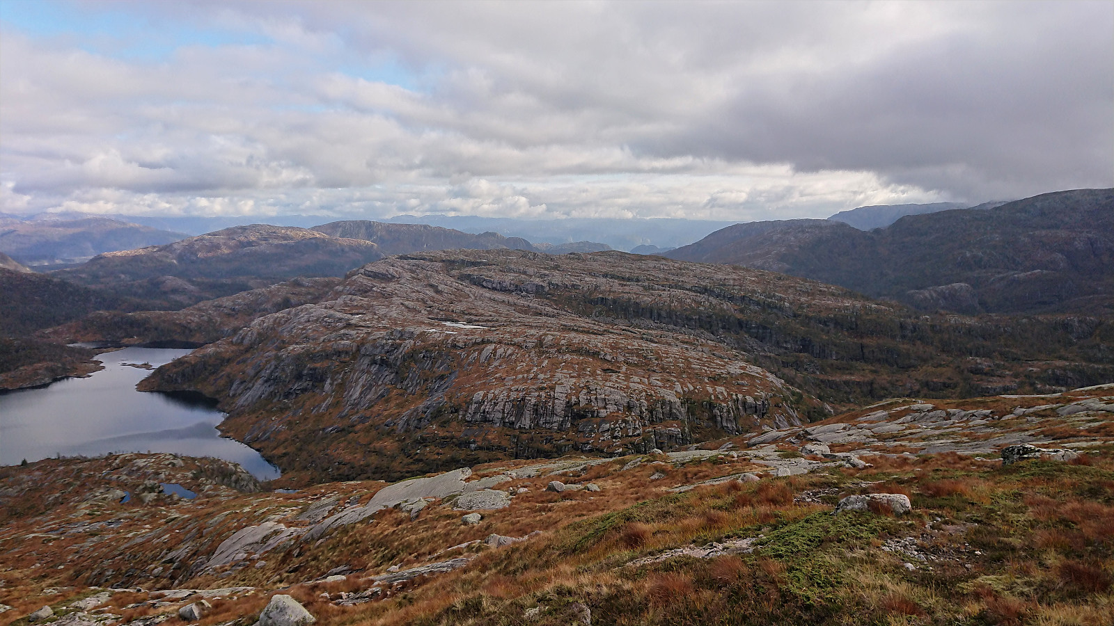
We drove from Bergen to the parking lot south of Øvre Sætravatnet, of course paying the toll of 40 kr in Stussdalen. The weather was perfect at the start of our hike, providing excellent views across the two Sætravatnet lakes. But sadly the sun soon disappeared and stayed behind the clouds for the rest of the hike. As we passed along Tverrvatnet the fog also started hiding the peaks of the surrounding mountains.
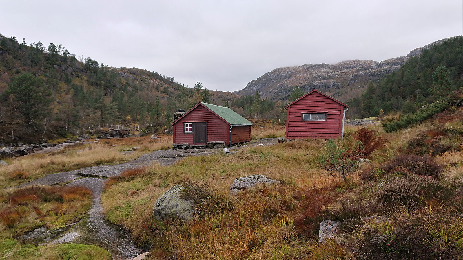
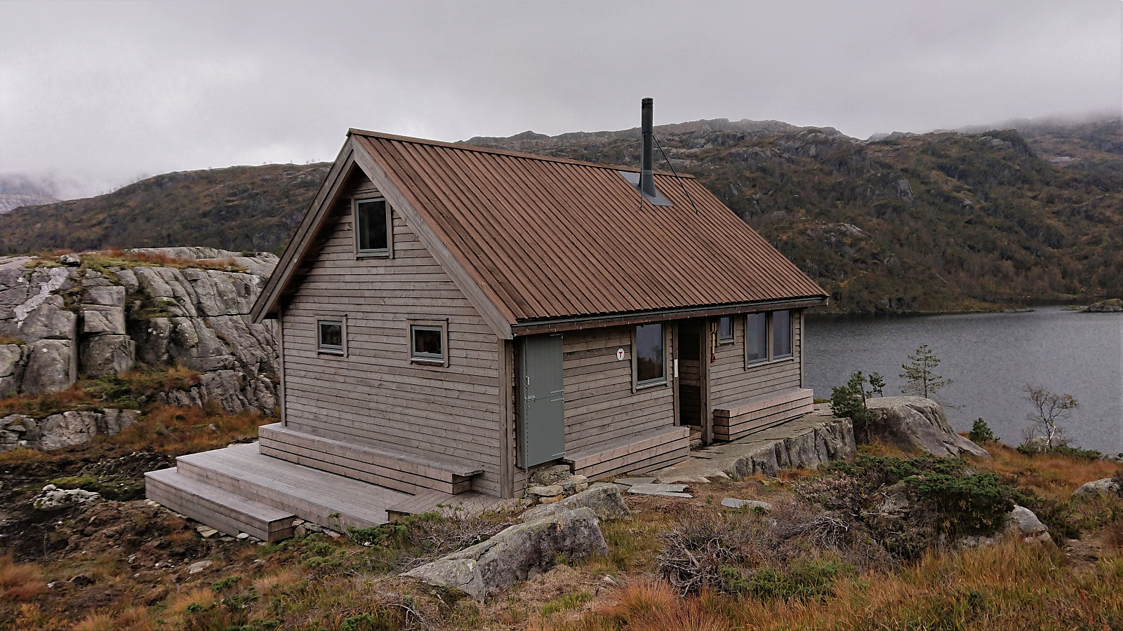
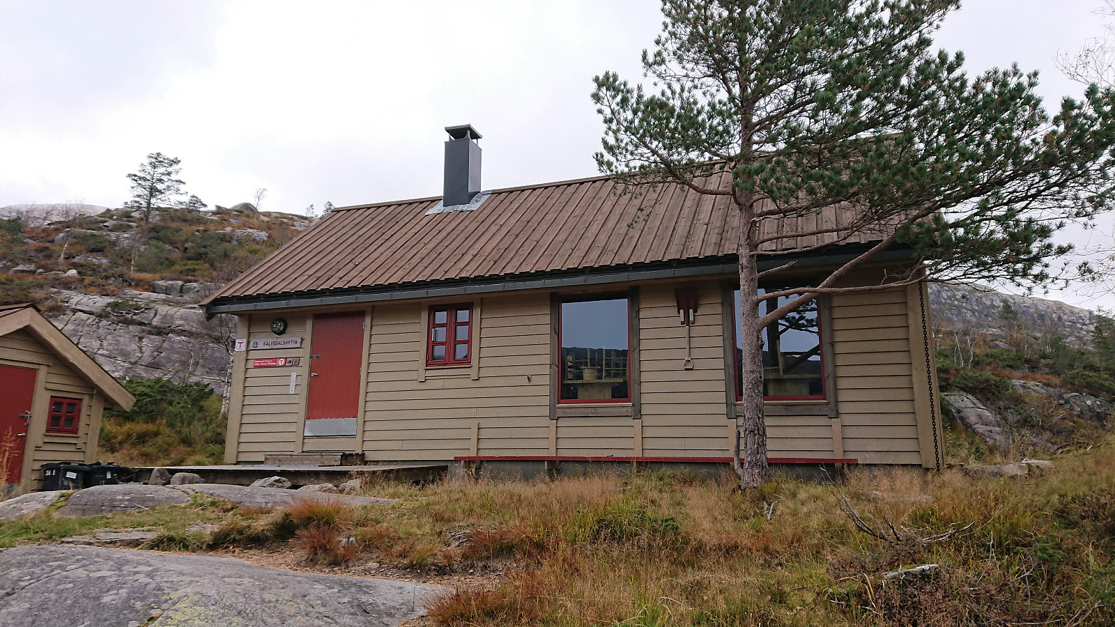
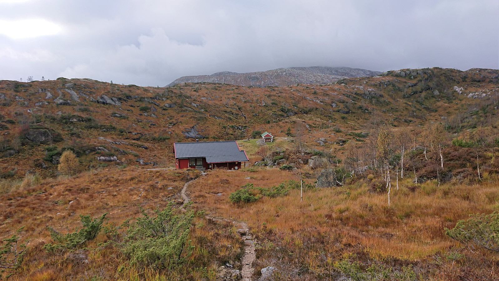
The start of the hike was poorly marked, with no signs at all from the parking lot as far as we could see. However, this changed upon reaching the eastern end of Tverrvatnet, and from there on a marked trail could easily be followed all the way to Kalvedalshytta. Paddesætret also provided a nice bridge, thus simplifying the crossing of the river.
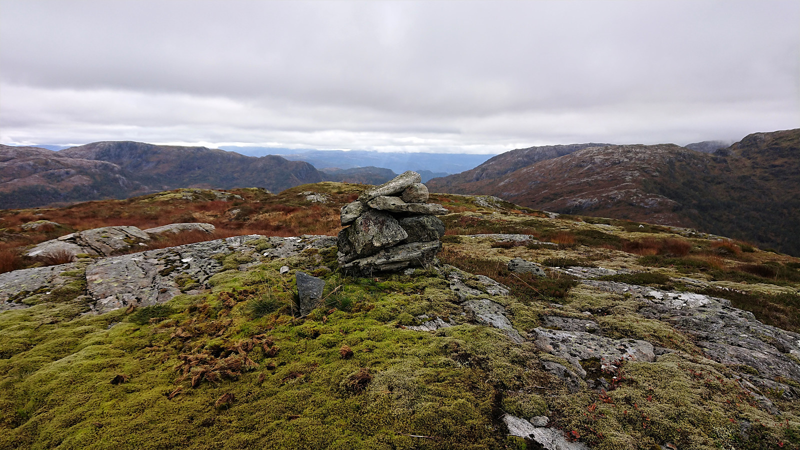
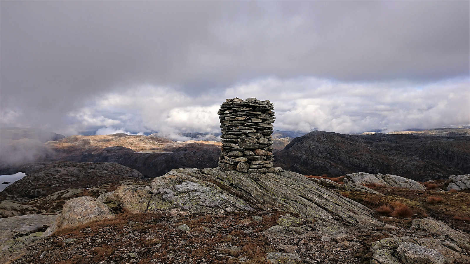
I did leave the trail for a short detour to Råsefjellet, which turned out to be more complicated than expected. Not to reach the summit, but rather to figure out which of the many options was the true summit. Thankfully the summit area, unlike for most of the rest of the hike, had cell phone reception, enabling me to confirm the exact summit location. I then returned to the trail, and we continued to Kalvedalshytta.
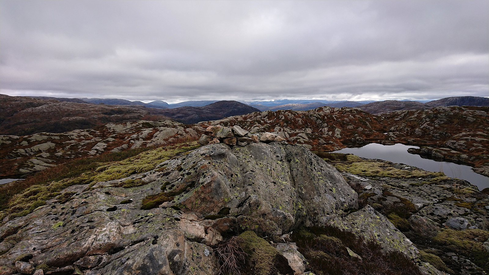
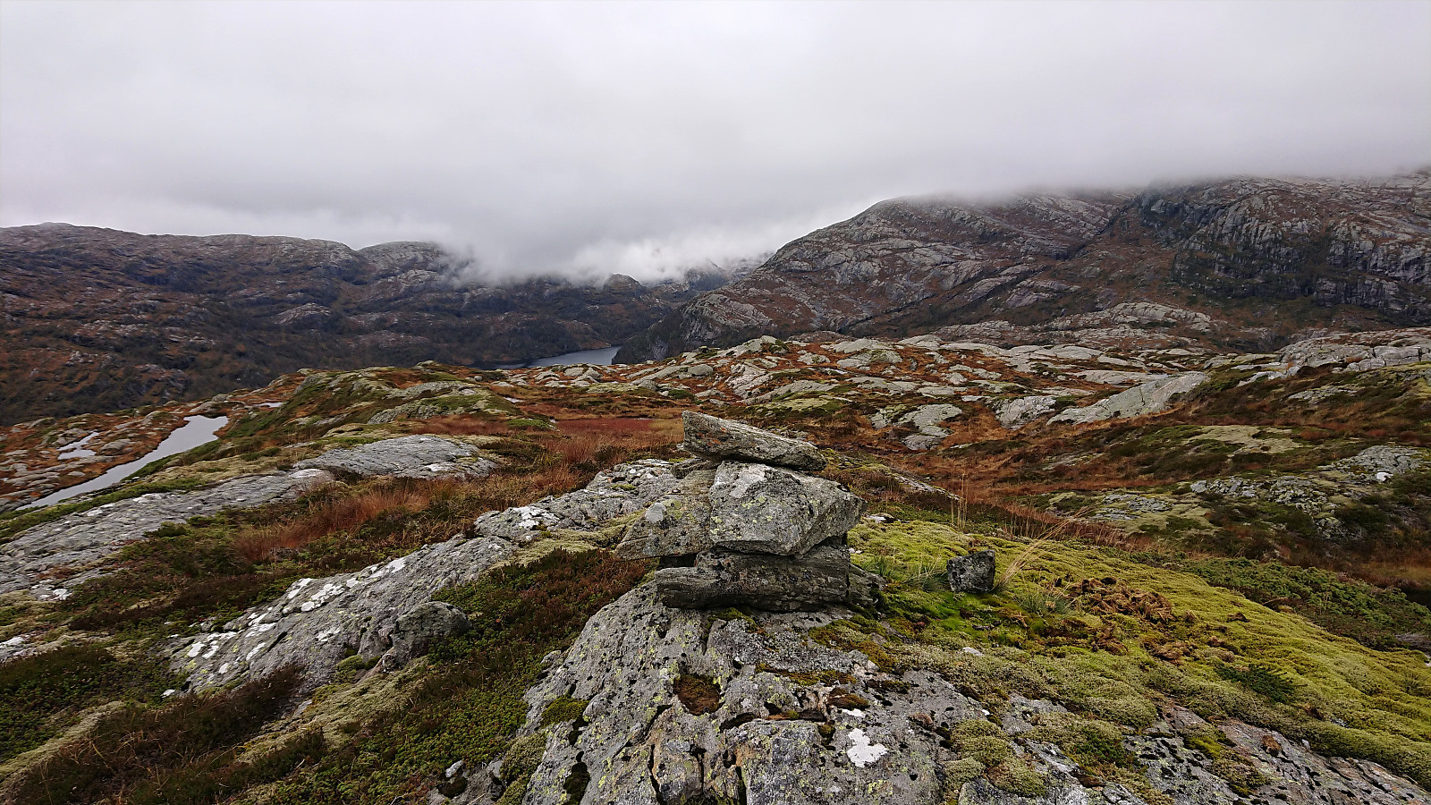
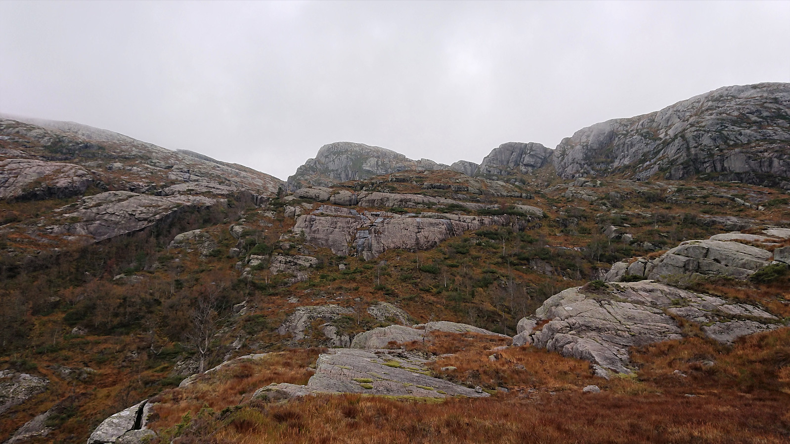
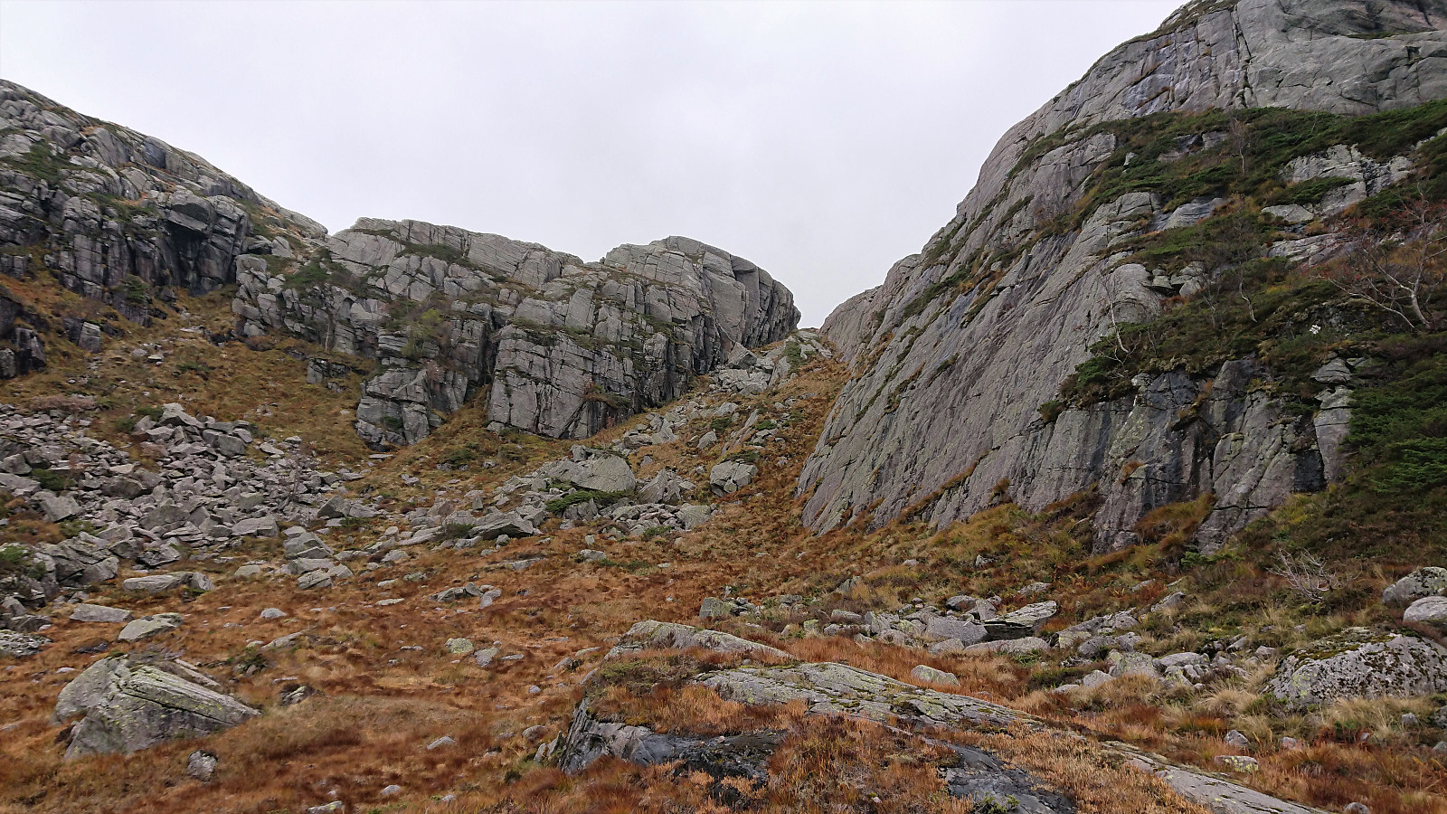
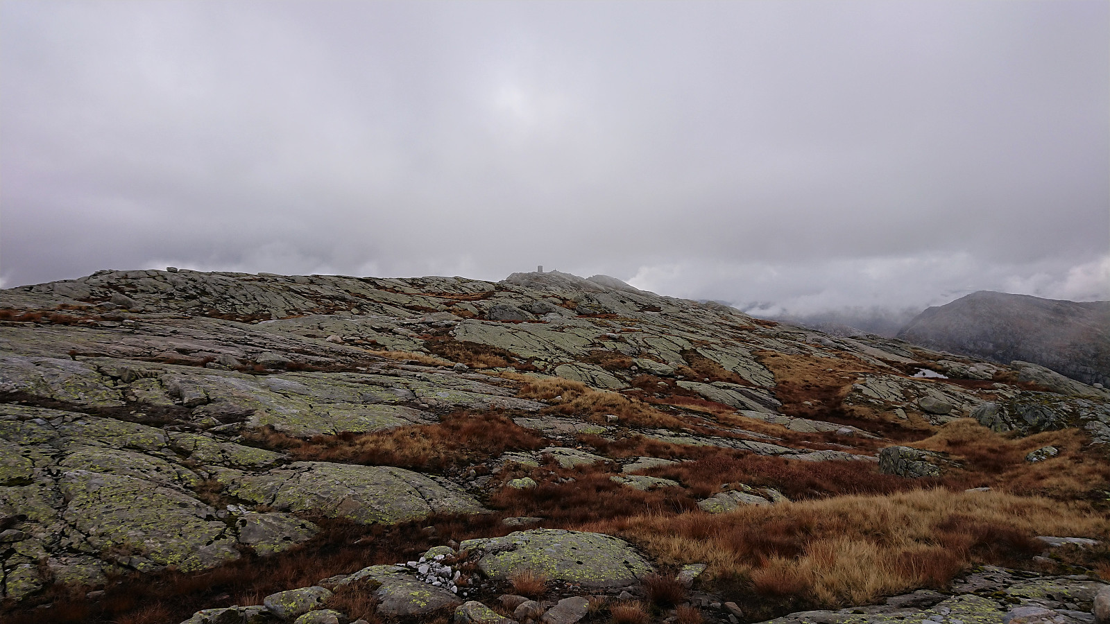
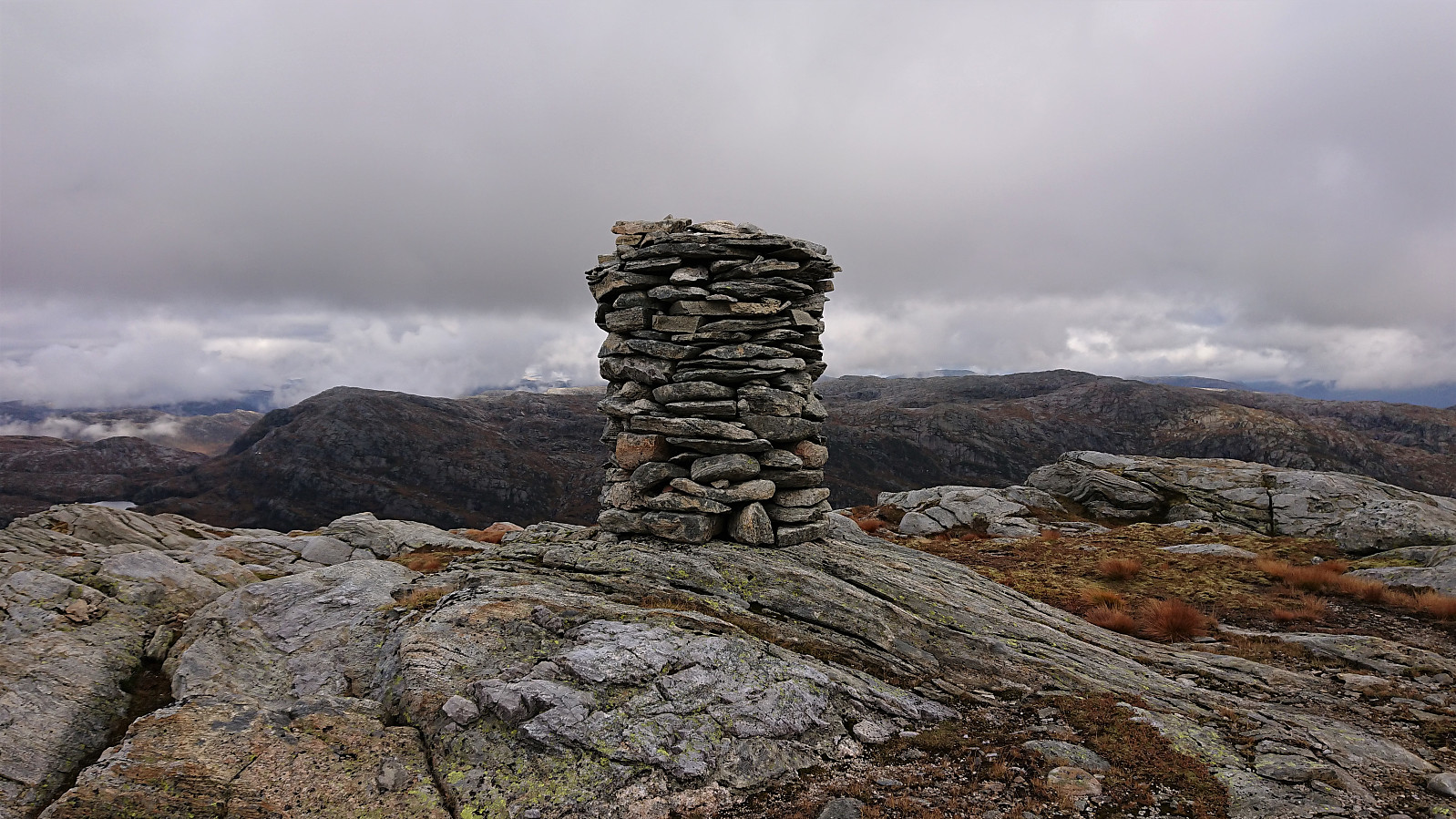
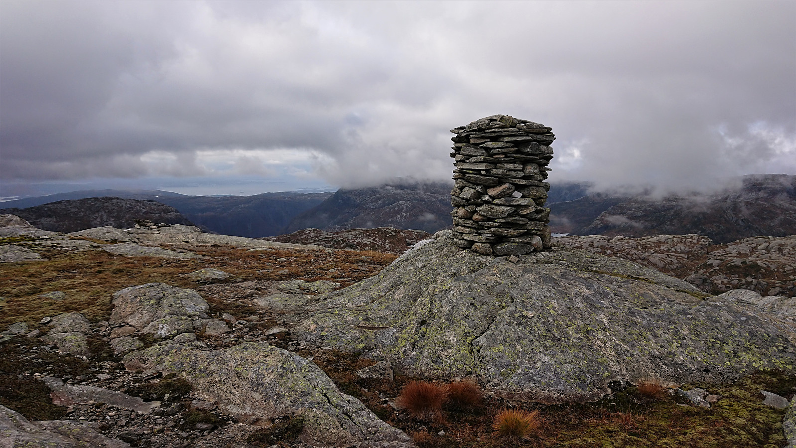
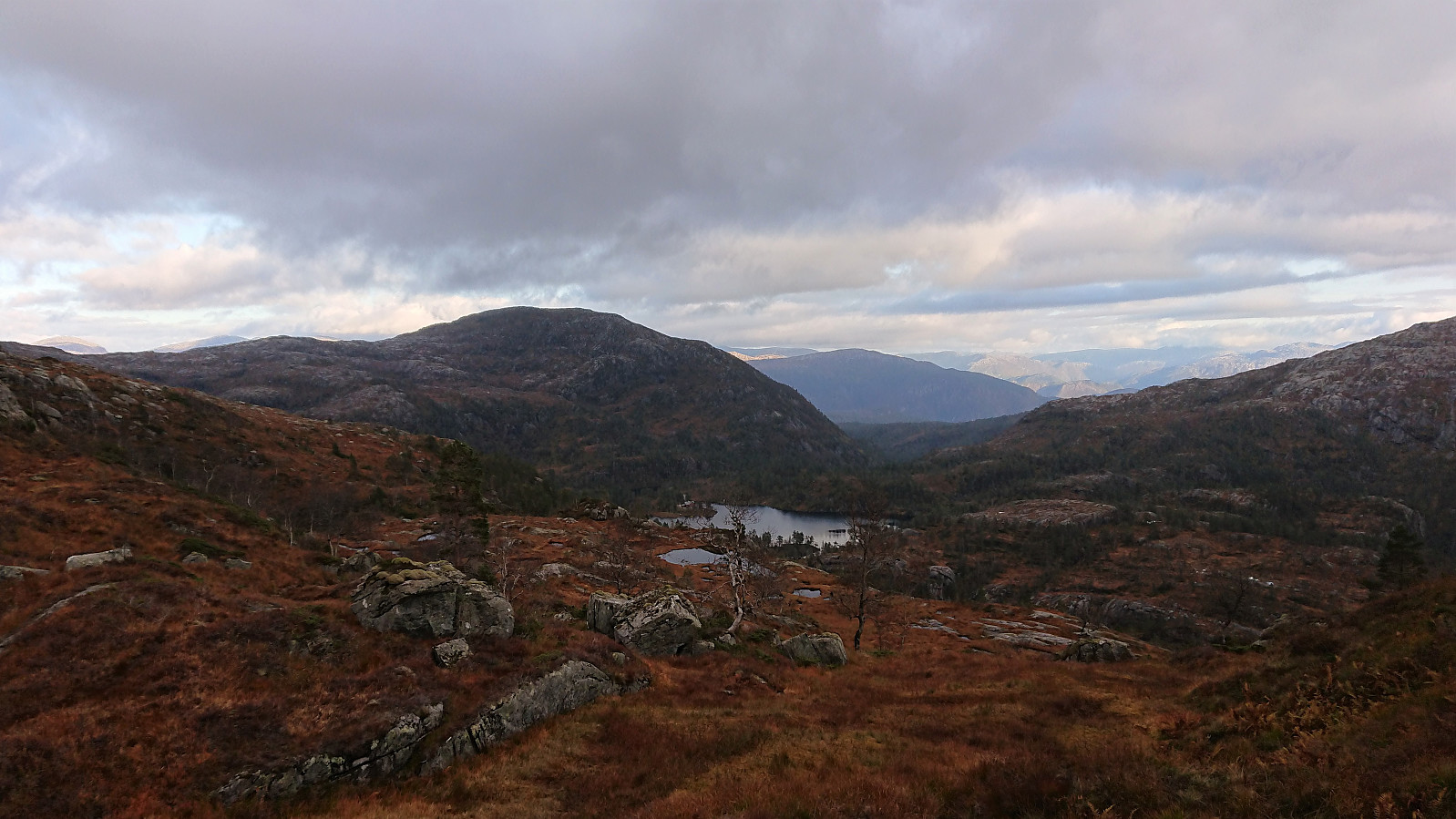
After a short lunch break outside Kalvedalshytta we continued towards Horga, with its summit now completely hidden in the fog. Finding a reasonable route to ascend was not very difficult, we even came across a couple of cairns along the way, although these could not be consistently followed. Thankfully the fog gradually cleared as we got closer to the summit, and while it never lifted completely, it did clear just enough to provide significantly better views than what we had expected during our ascent.
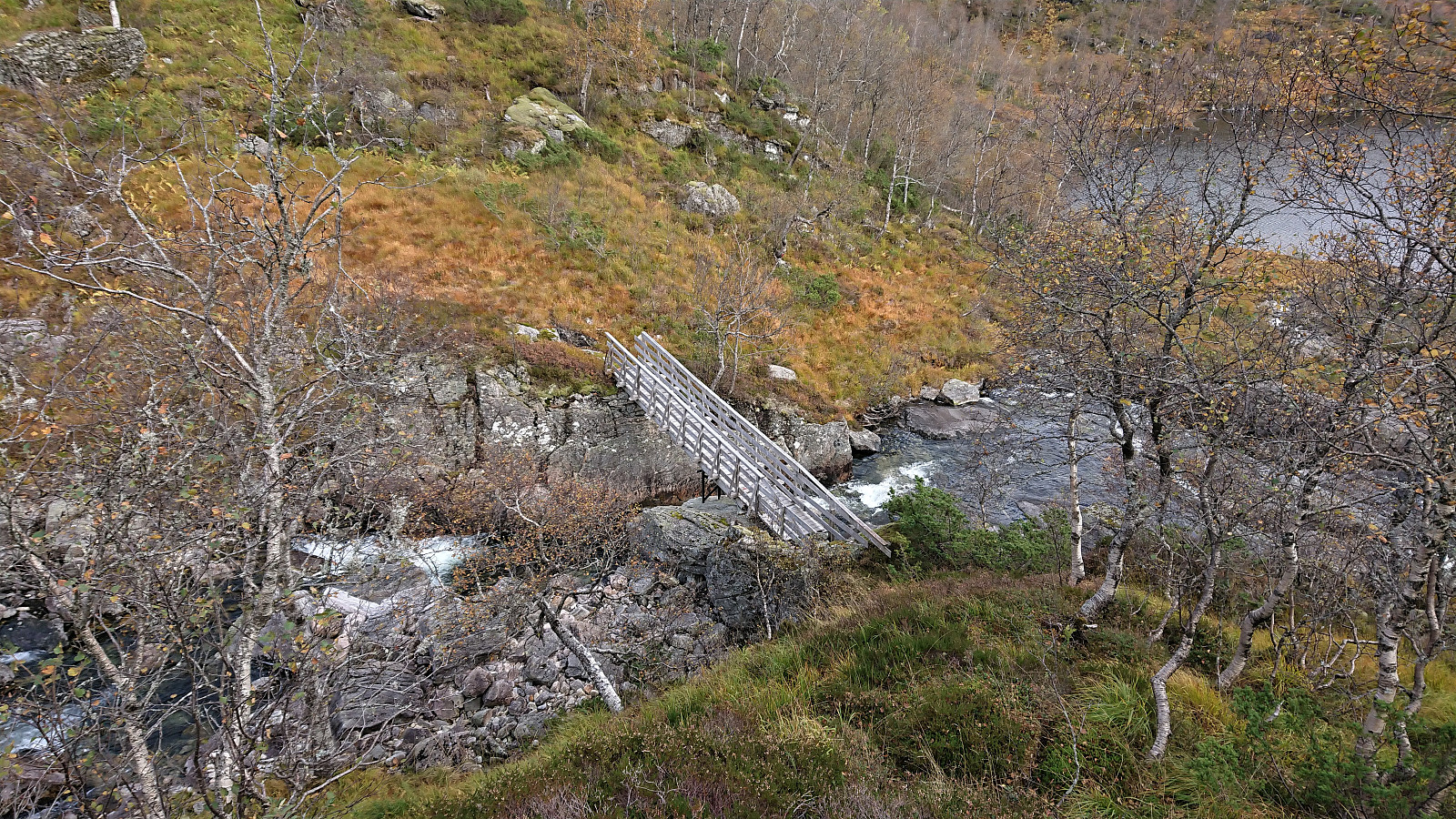
From the summit we returned more or less along the same route, but instead of descending all the way back to Kalvedalshytta, we turned east for a more direct shortcut to Flådalsvatnet. When getting close to the lake we happened upon a weak trail that we followed north, assuming it would take us to a good place to cross the river. But the trail soon disappeared, and we ended up making our own way to the bridge indicated on the map (which had escaped us when looking at the map earlier on).
The bridge was of good quality but oddly there were no clear trails on either side of it. We later noticed that a trail from the bridge to Steinsetdalssætret was indicated on the map, but we saw no traces of it until getting almost to Steinsetdalssætret.
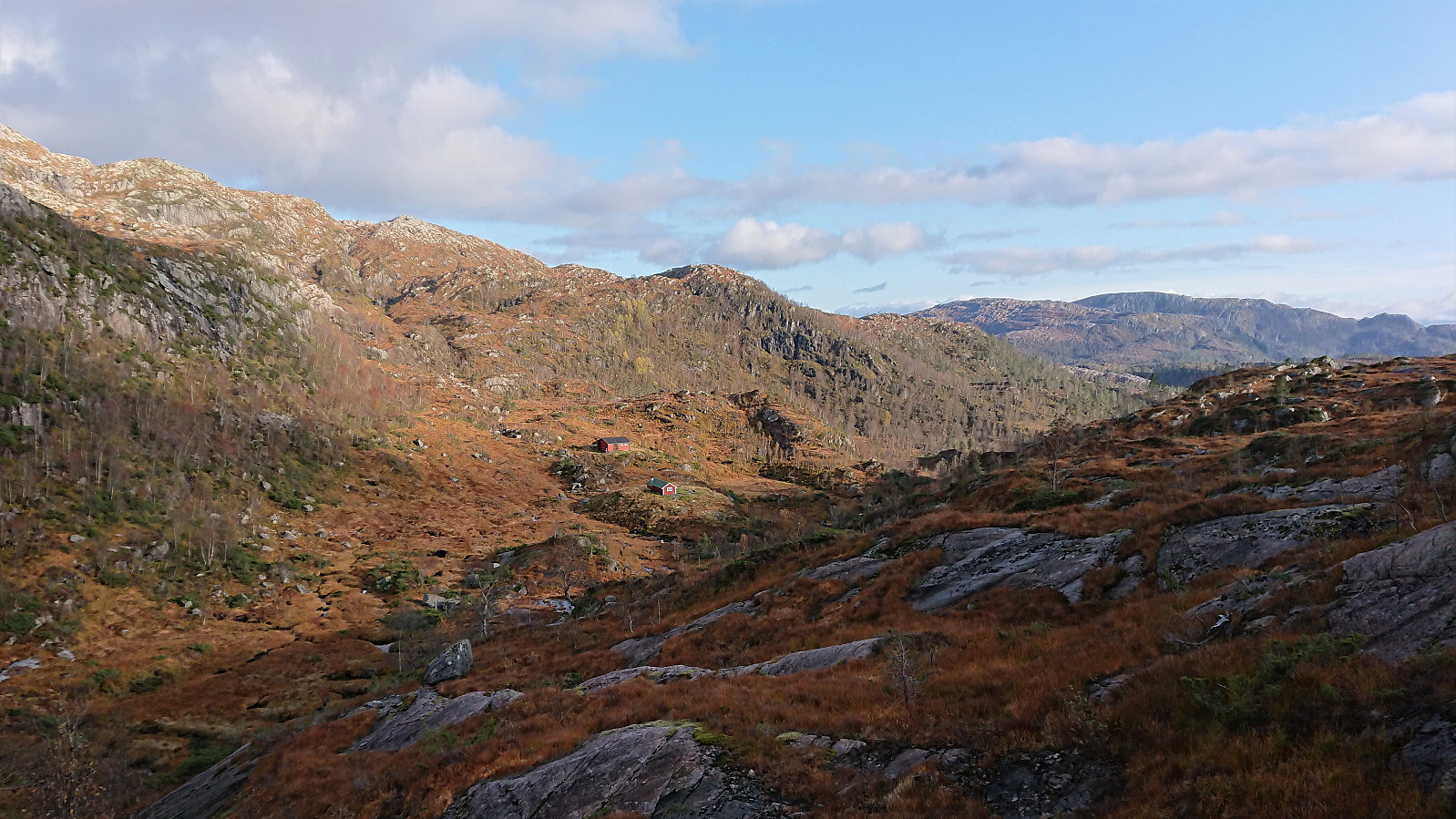
Instead of continuing south to Paddesætret, we next followed a nice trail east, a route that included more vertical meters than expected, but was otherwise easy to follow and took us all the way back to the parking lot.
In summary, a very nice hike that can be recommended, but it is most likely much nicer in better conditions, especially with regards to the views from Horga.
| Startzeitpunkt | 29.09.2019 10:38 (UTC+01:00 SZ) |
| Endzeitpunkt | 29.09.2019 18:16 (UTC+01:00 SZ) |
| Gesamtzeit | 7h 37min |
| Zeit in Bewegung | 6h 38min |
| Pausenzeit | 0h 59min |
| Gesamtschnitt | 2,5km/h |
| Bewegungsschnitt | 2,9km/h |
| Entfernung | 19,4km |
| Höhenmeter | 1.222m |

Benutzerkommentare