Hikletten (22.09.2019)

| Startsted | Botnavatnet (207moh) |
|---|---|
| Sluttsted | Botnavatnet (207moh) |
| Turtype | Fjelltur |
| Turlengde | 1t 36min |
| Distanse | 4,1km |
| Høydemeter | 291m |
| GPS |
|
| Bestigninger | Hikletten (494moh) | 22.09.2019 14:10 |
|---|
Hikletten
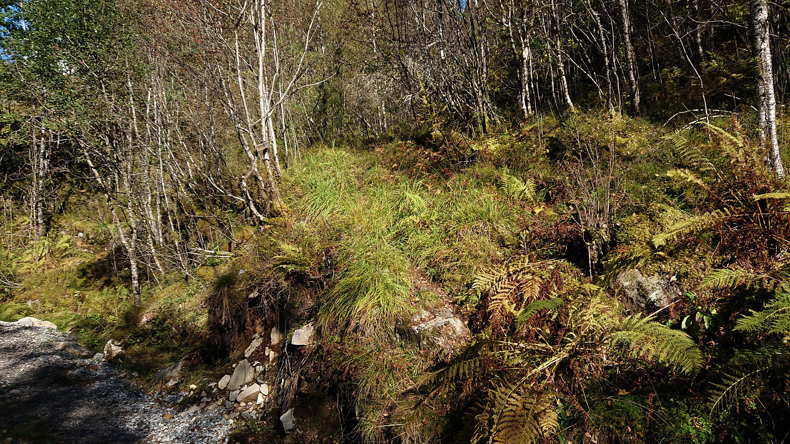
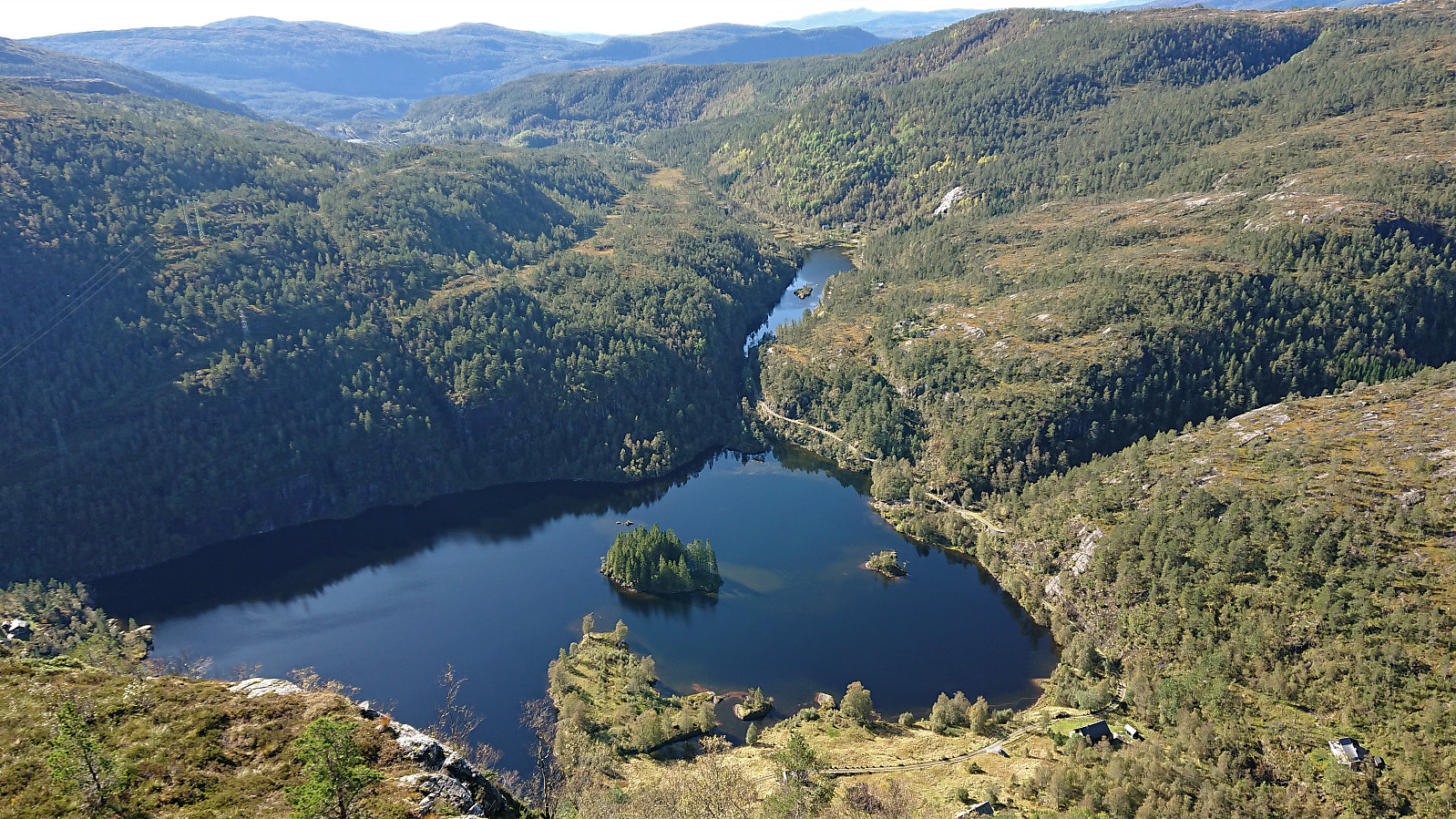
After cycling the close to 60 km to Botnen and the marked trailhead for Hikletten (see separate trip report: Cycling: Hikletten), I was finally ready for the main goal of the day. After leaving the bike behind, it was actually quite a relief to start hiking and get a break from cycling. The trail quality however left a lot to be desired, because while the trail was overall easy to follow, it was very wet, most notably the first half until making a U-turn towards the summit.
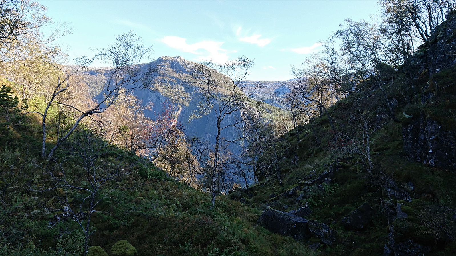
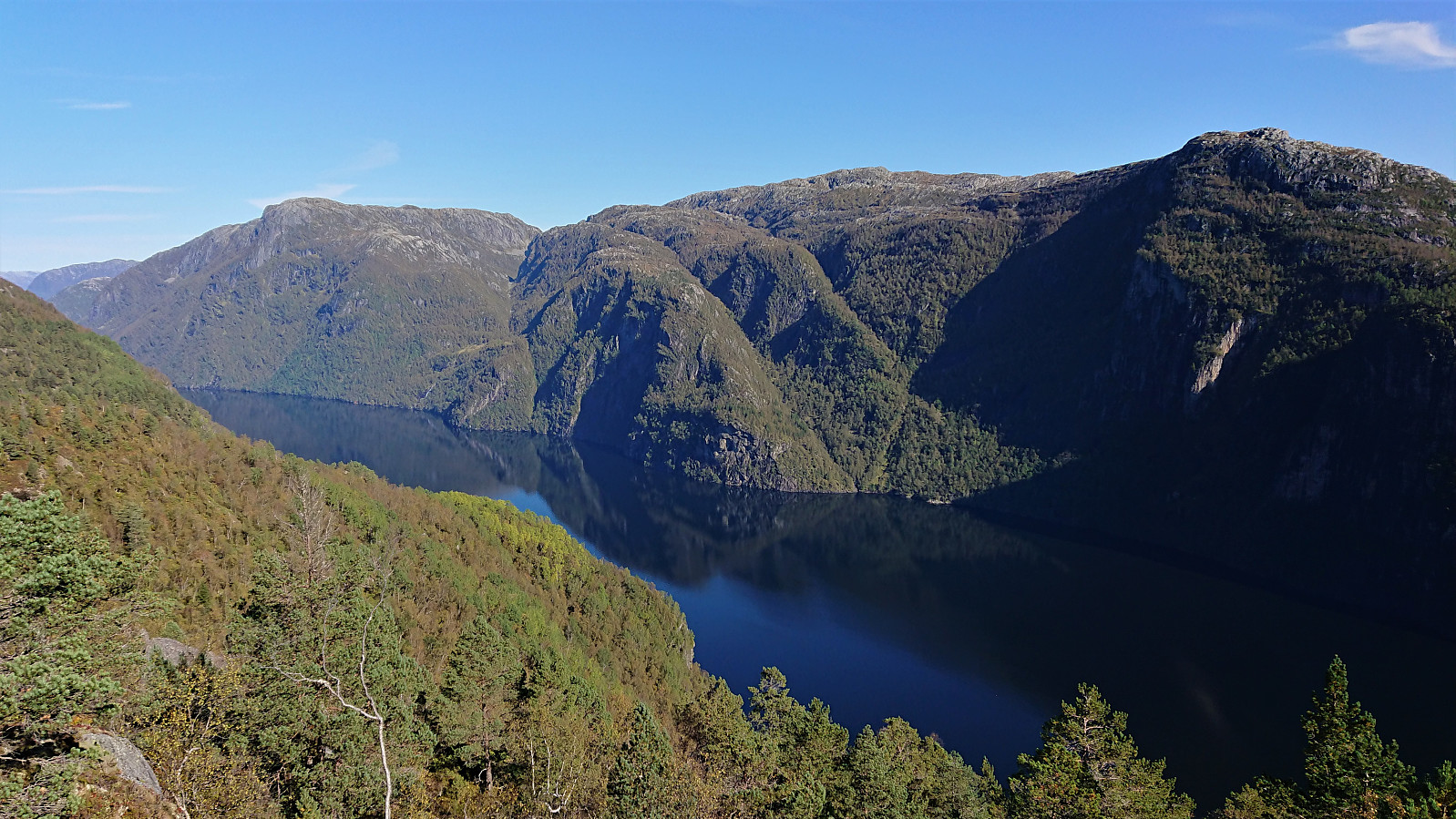
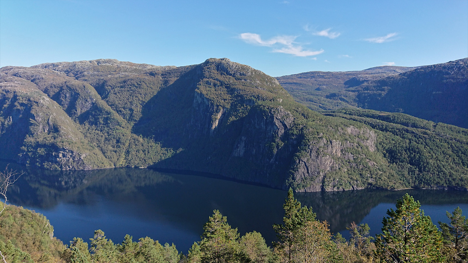
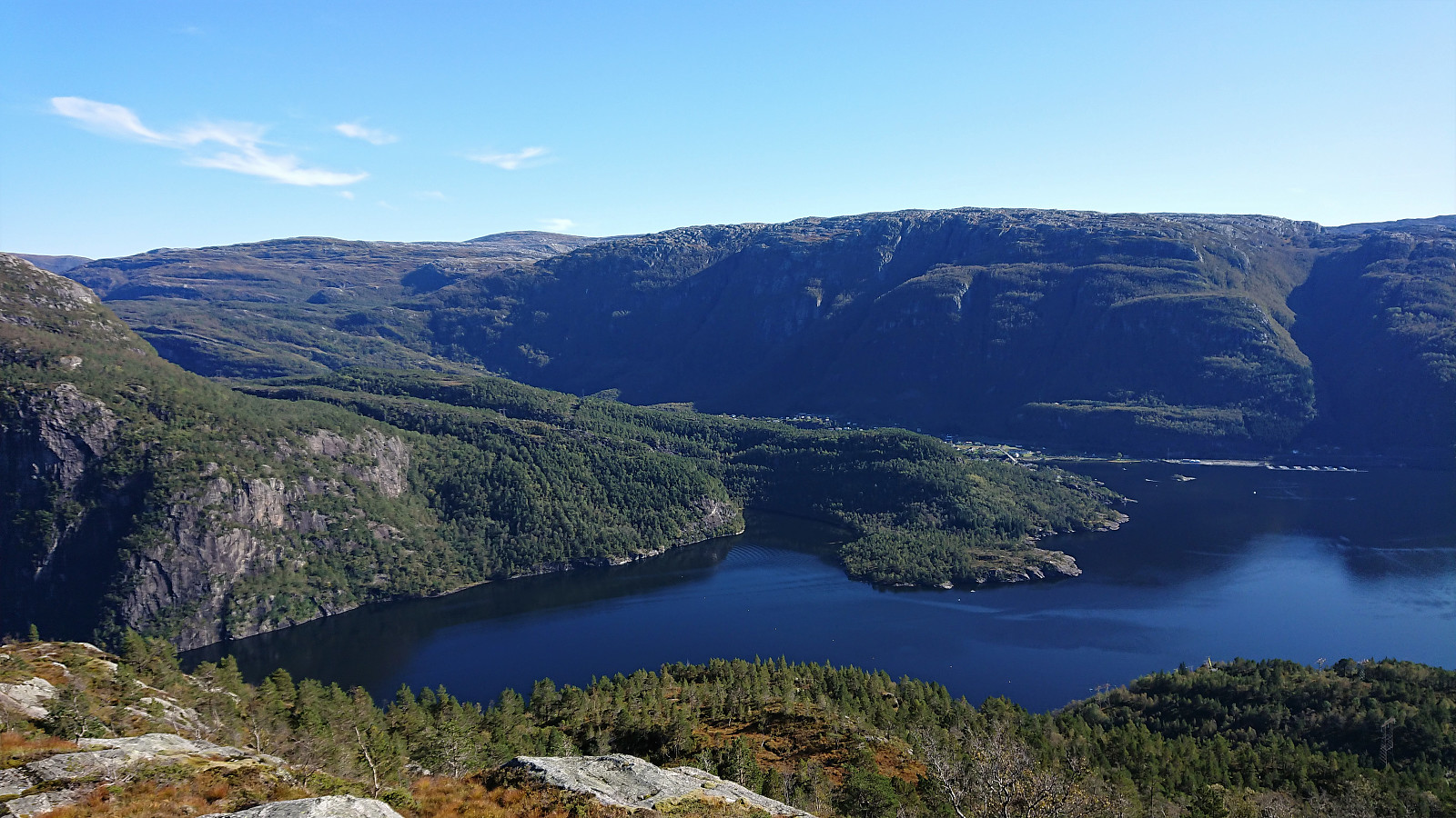
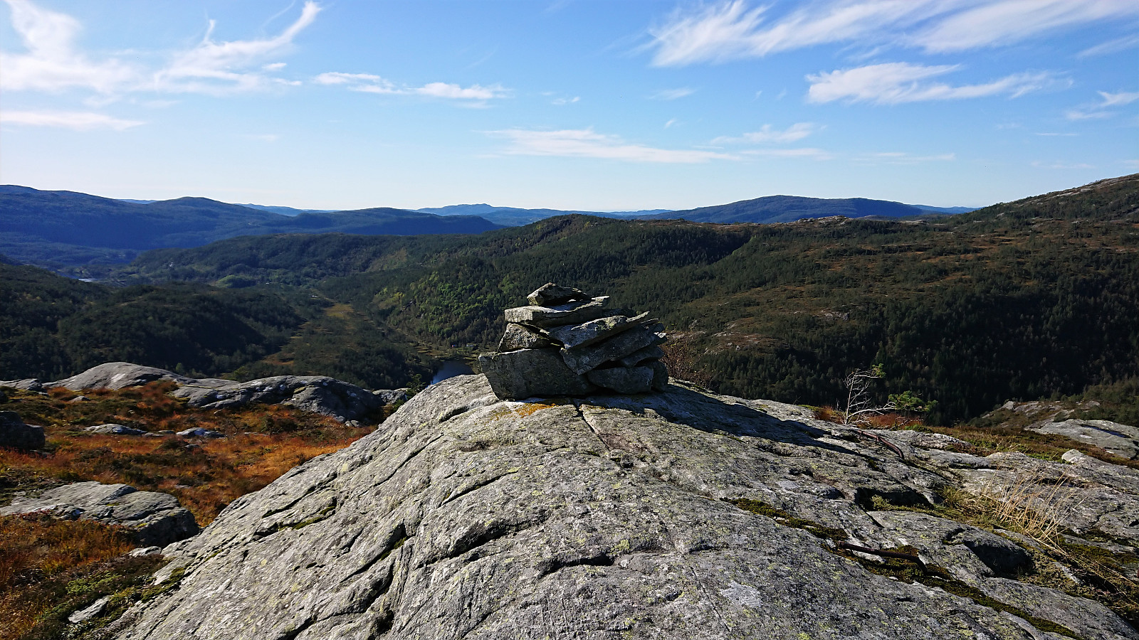
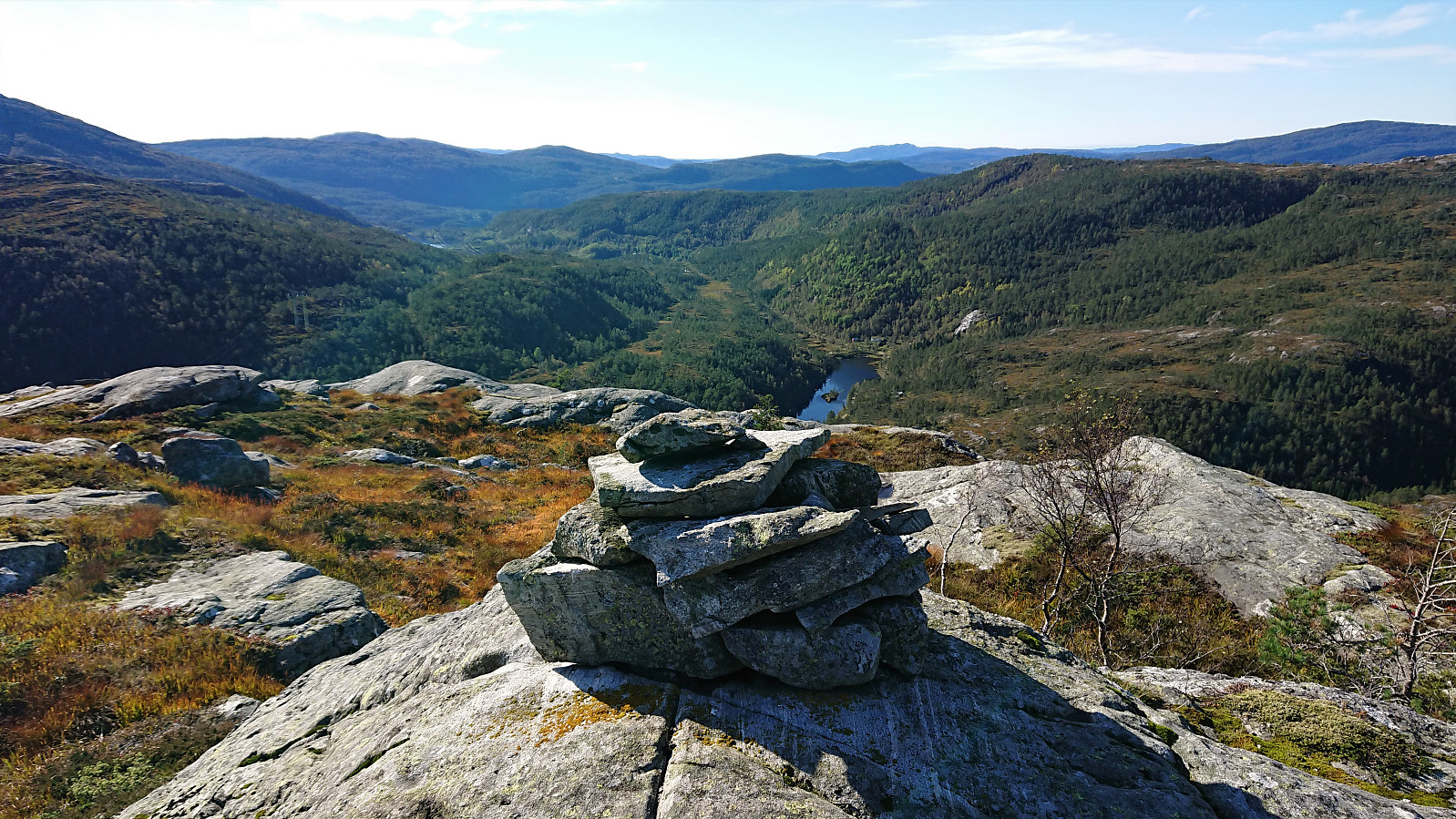
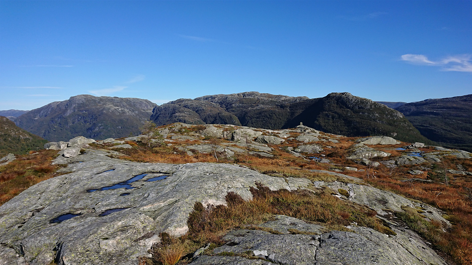
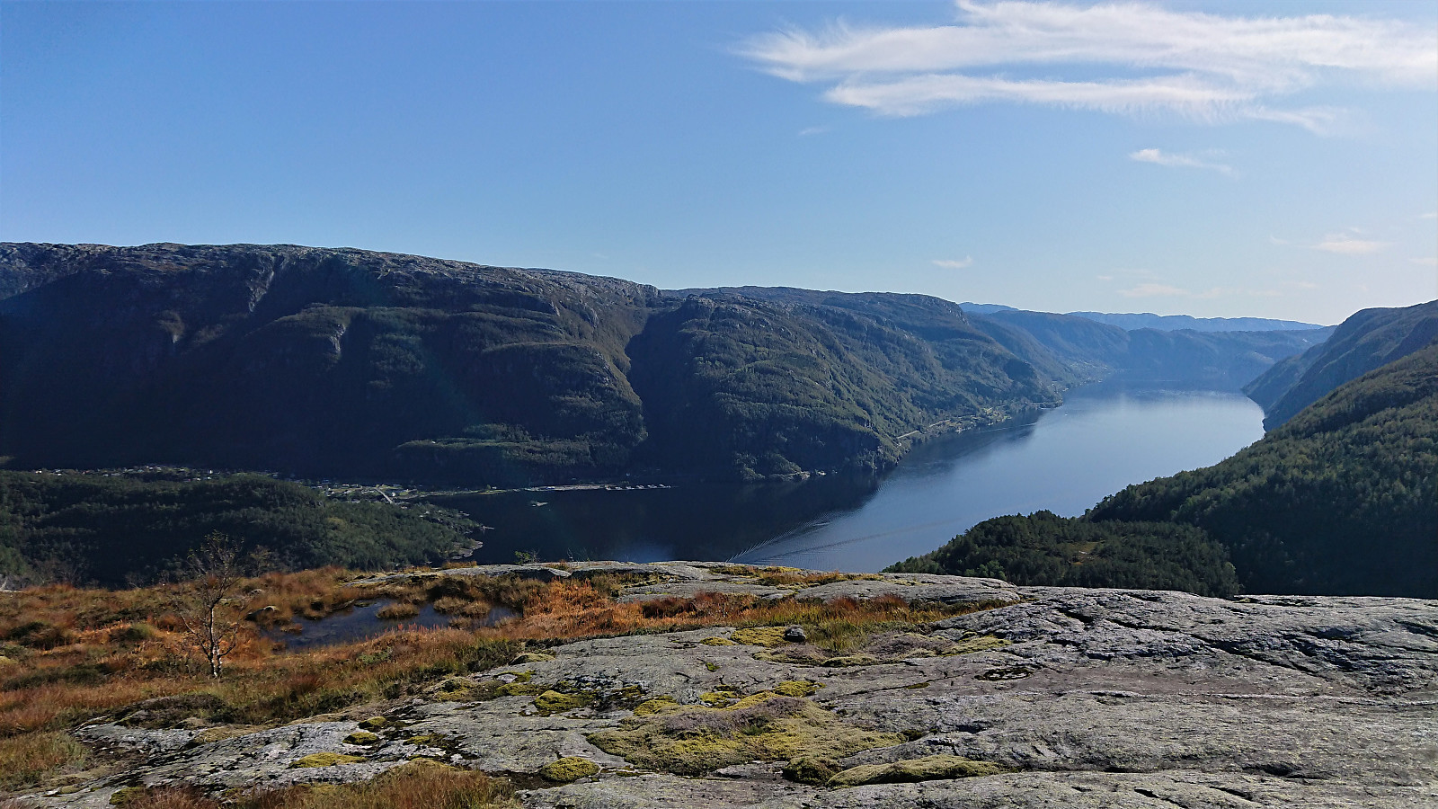
The first half also had rather limited views. But this all changed as soon as the trail turned southwest for the final climb to the summit, providing excellent views towards Veafjorden and Stanghelle, and later also south along the fjord in the direction of Vaksdal. The views from the summit itself were also excellent, and a great place for my lunch break. From the summit I followed the same route back down to my bike for the long ride home.
In summary, an excellent hike with great views that can be very highly recommended! There are probably easier ways to get to the trailhead though. ;)
| Starttidspunkt | 22.09.2019 13:23 (UTC+01:00 ST) |
| Sluttidspunkt | 22.09.2019 15:00 (UTC+01:00 ST) |
| Totaltid | 1t 36min |
| Bevegelsestid | 1t 30min |
| Pausetid | 0t 6min |
| Snittfart totalt | 2,5km/t |
| Snittfart bevegelsestid | 2,7km/t |
| Distanse | 4,1km |
| Høydemeter | 291m |

Kommentarer