Kjeringafjell from Kleppa (15.08.2019)

| Startpunkt | Kleppa p-plass (404m) |
|---|---|
| Endpunkt | Kleppa p-plass (403m) |
| Tourcharakter | Bergtour |
| Tourlänge | 5h 25min |
| Entfernung | 19,0km |
| Höhenmeter | 1.071m |
| GPS |
|
| Besteigungen | Kjeringafjell (1.314m) | 15.08.2019 |
|---|---|---|
| Rjupeskar (935m) | 15.08.2019 | |
| Besuche anderer PBE | Kjeringafjell turbok (1.303m) | 15.08.2019 |
| Kleppa p-plass (403m) | 15.08.2019 |
Kjeringafjell from Kleppa
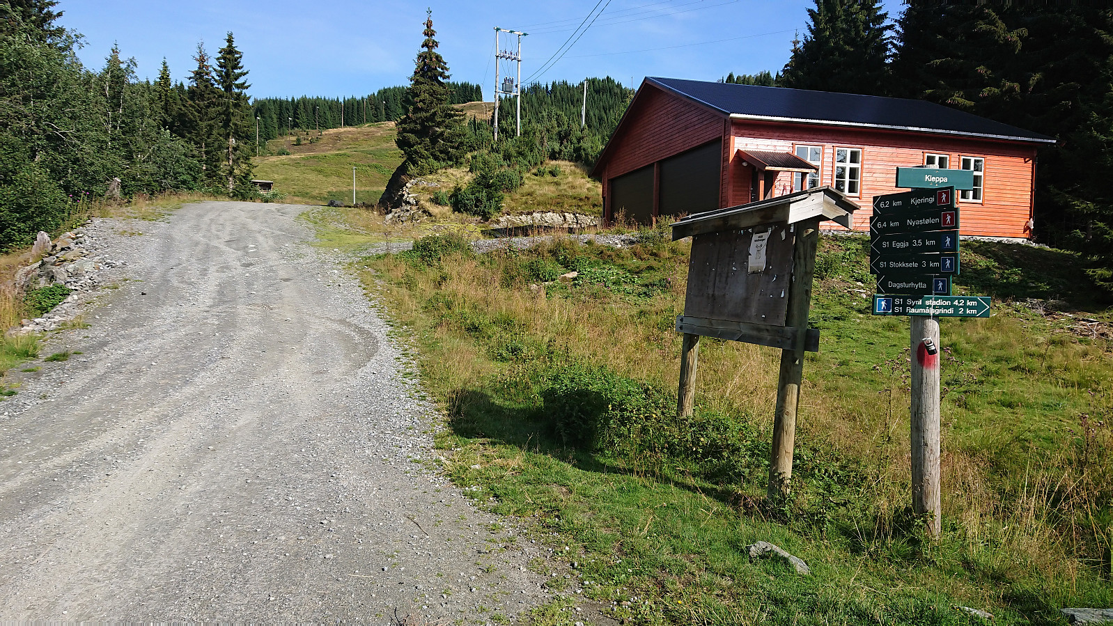
I started from the parking lot at Kleppa and from there tried to follow the signs to Kjeringafjell (or rather Kjeringi as used on the signs). The first sign indicated that it was only 6.2 km to the summit, which I found odd, given that earlier PB reports showed distances closer to 10 km. However, most, if not all, of these were from skiing trips, so perhaps the summer route was shorter.
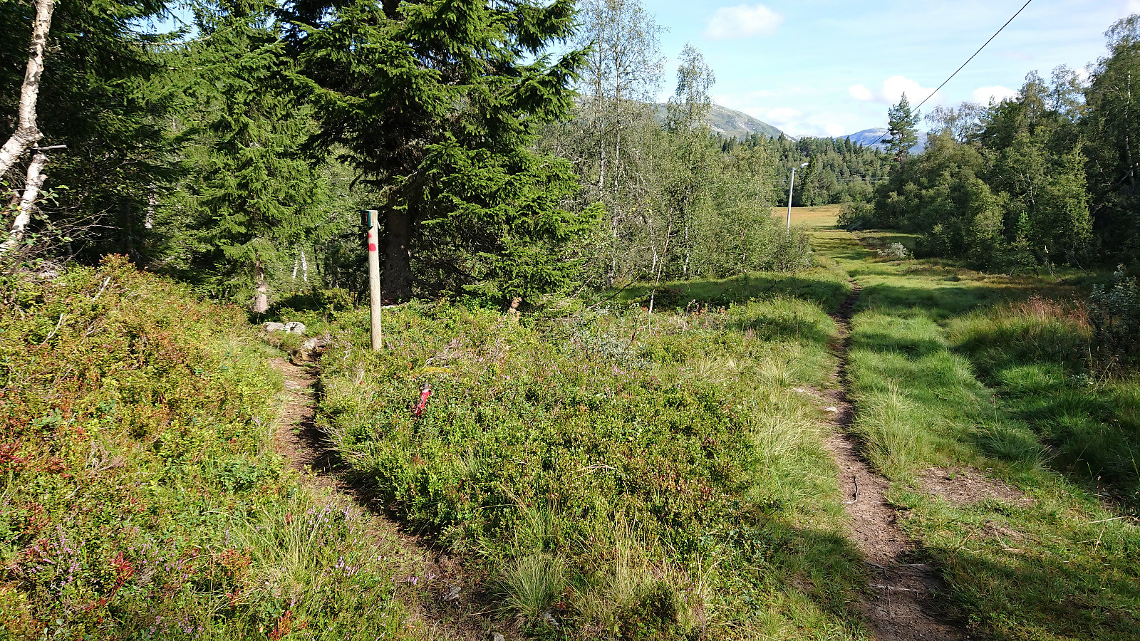
The signs did not always include Kjeringi though, resulting in multiple checks of the GPS to make sure that I was choosing the correct option when the trail split. This became much easier when getting above the tree line, but then the signs were not really needed anymore anyway. After leaving the gravel road, there were also a couple of wet sections, but most could easily be avoided by following the trail next to the tractor road instead of the road itself.
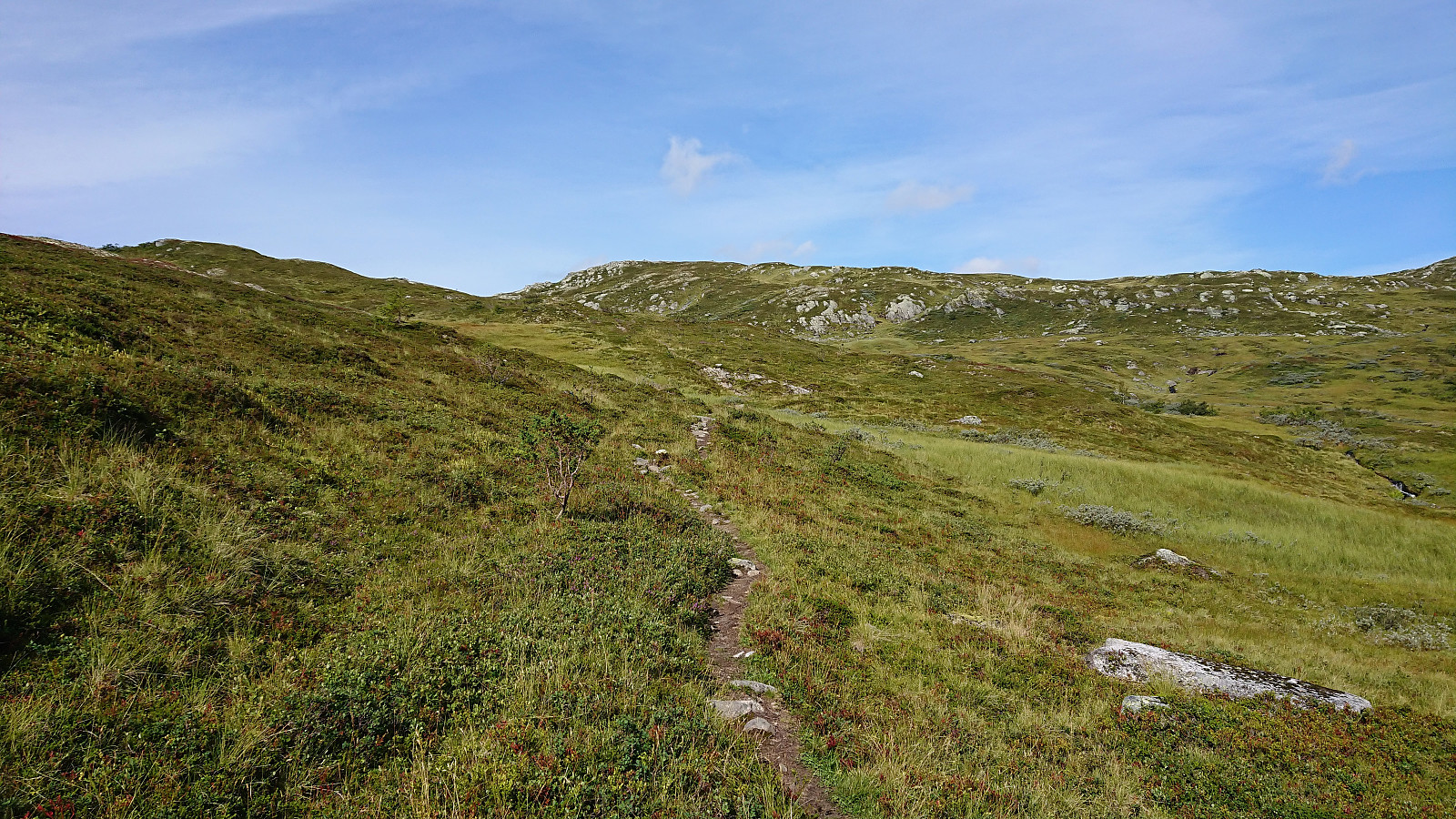
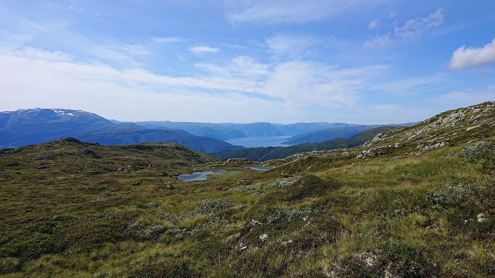
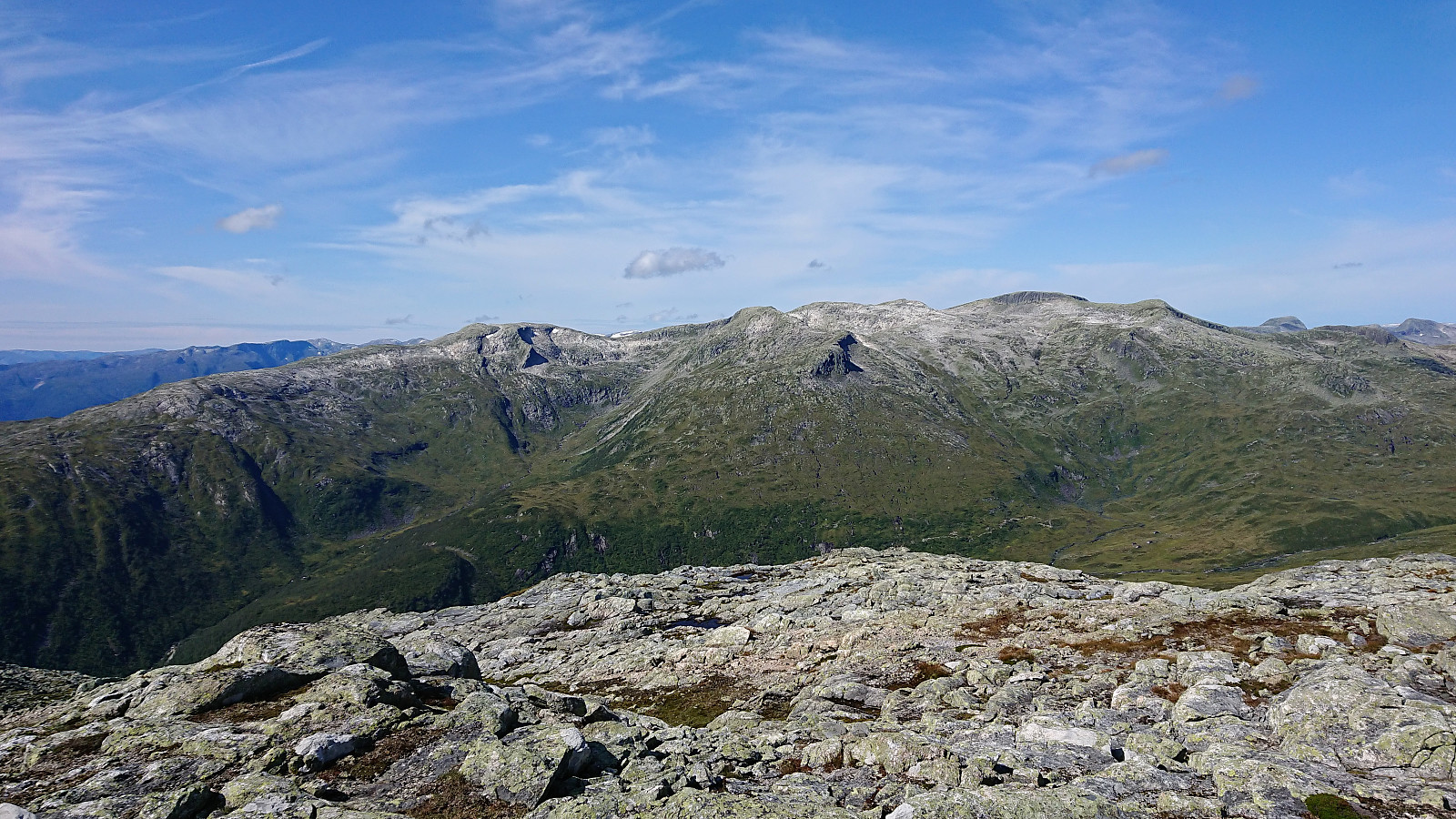
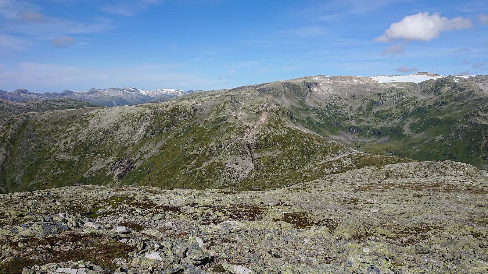
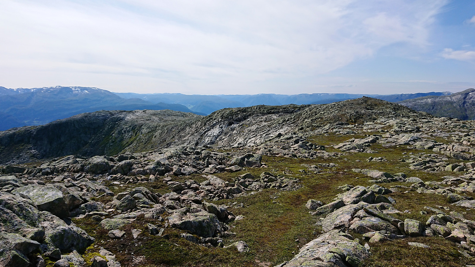
When getting above the tree line the views greatly improved. The quality of the trail was also pretty good and could be easily followed. A visit of Rjupeskar was left for the descent, and I soon arrived at the last signpost of the day, in between Rjupeskar and Fagreggi. Shortly after the trail itself also disappeared. Or perhaps I made a wrong turn somewhere?
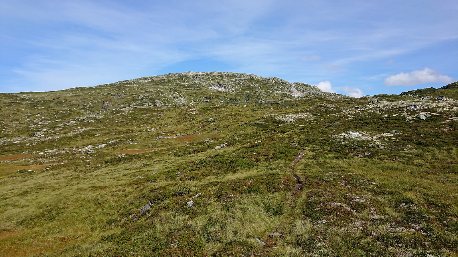
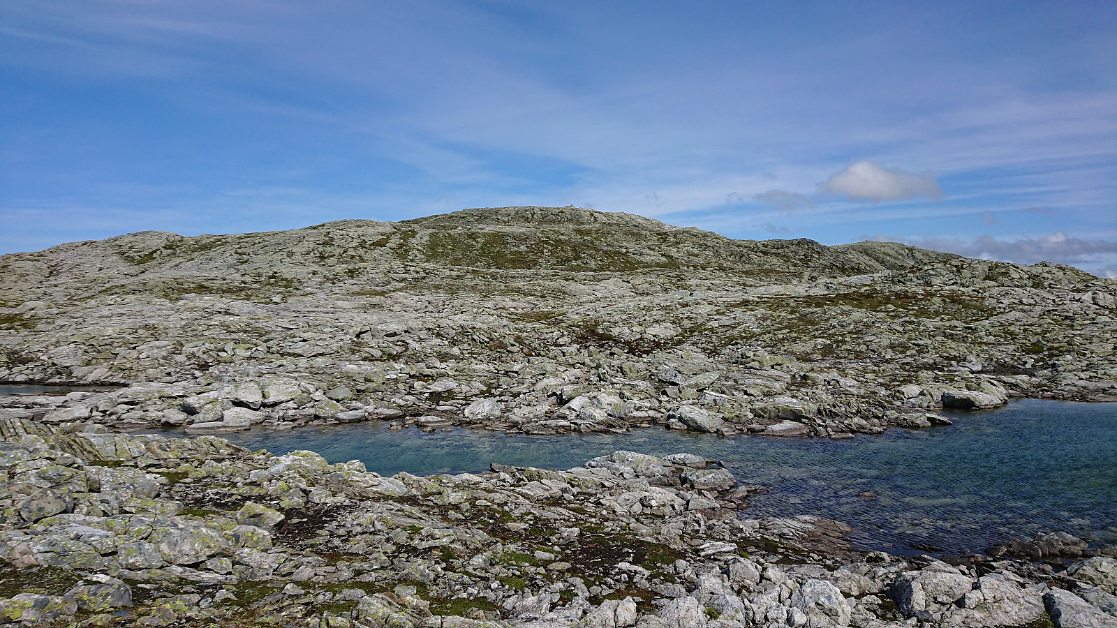
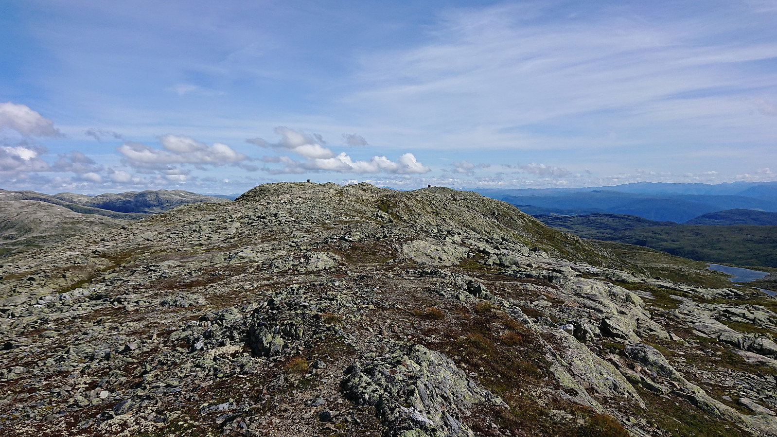
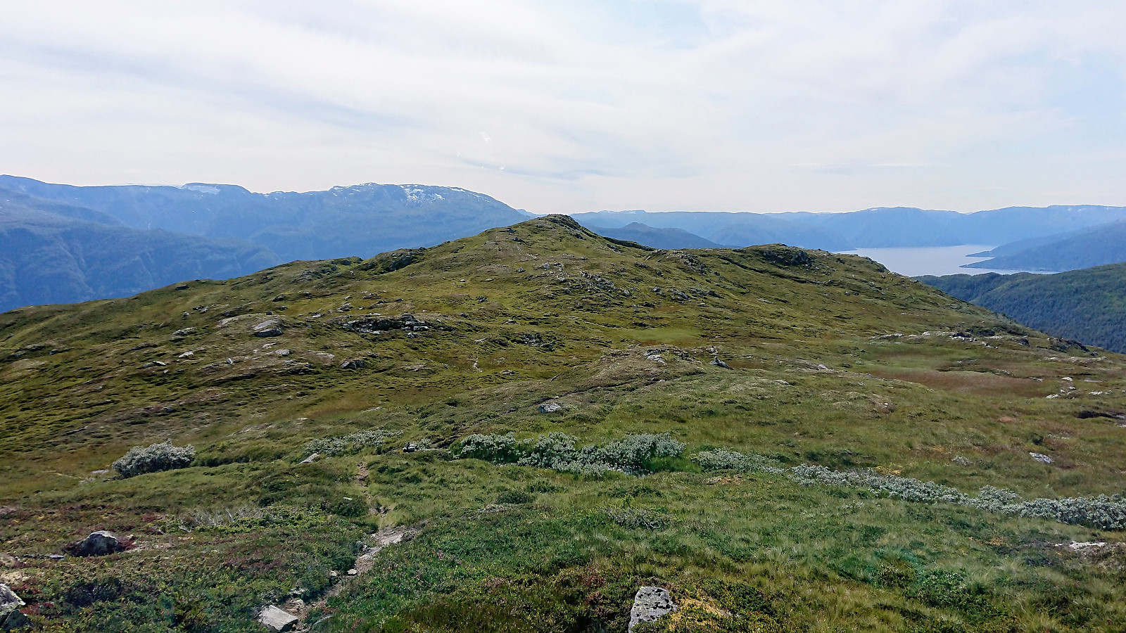
Making my own way up to the Kjeringafjell plateau was not very difficult though. There I also came across a set of small cairns that I partially followed, without this seeming to make a big difference in traversing the rocky terrain. Upon reaching the 1267 hill the route to the summit finally revealed itself, still another 1.5 km to go.
This final stretch made it clear why most people visit Kjeringafjell in the winter (except for the obvious much faster descent), as the snow levels off many of the small ups and downs of this final leg.
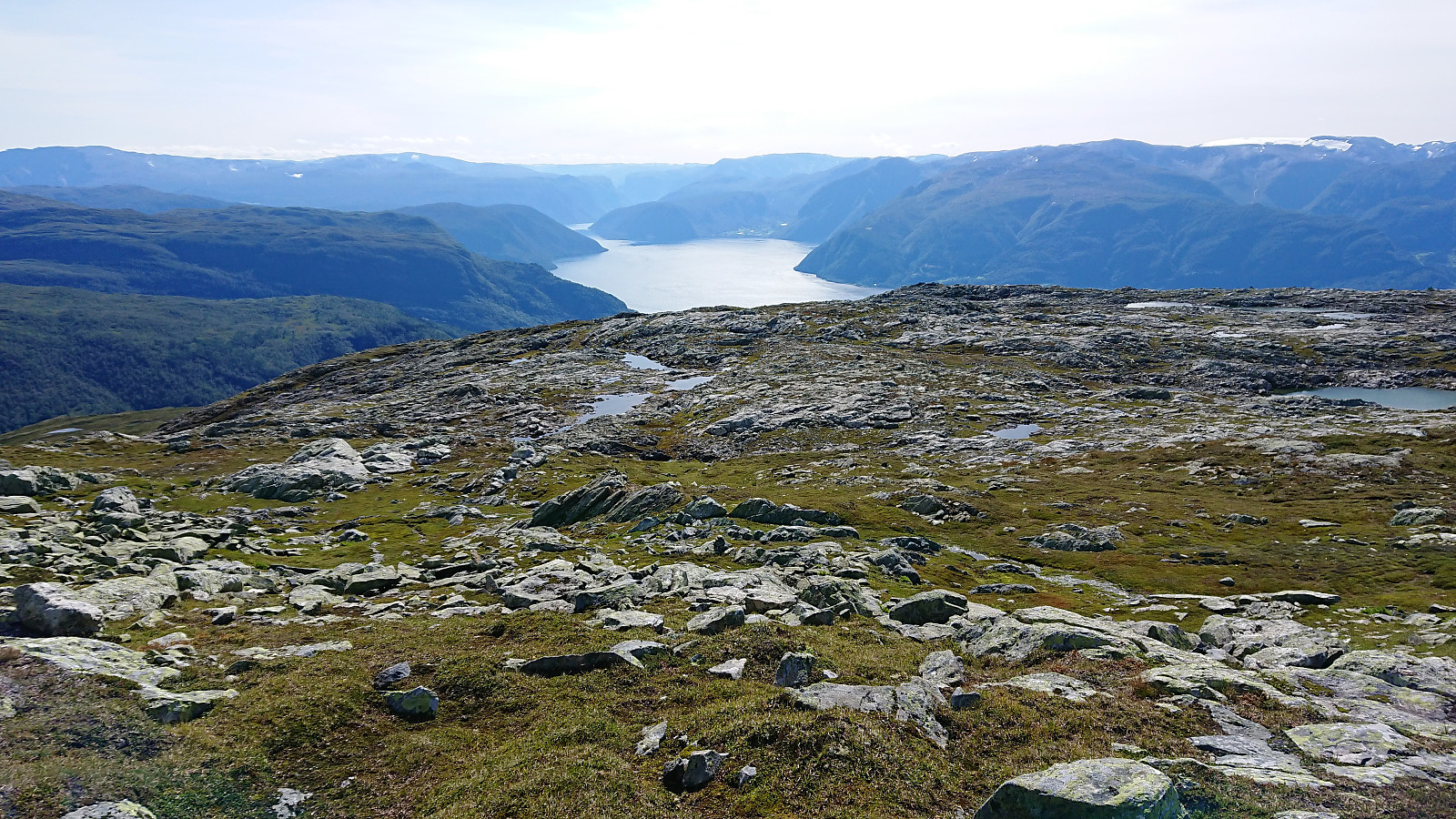
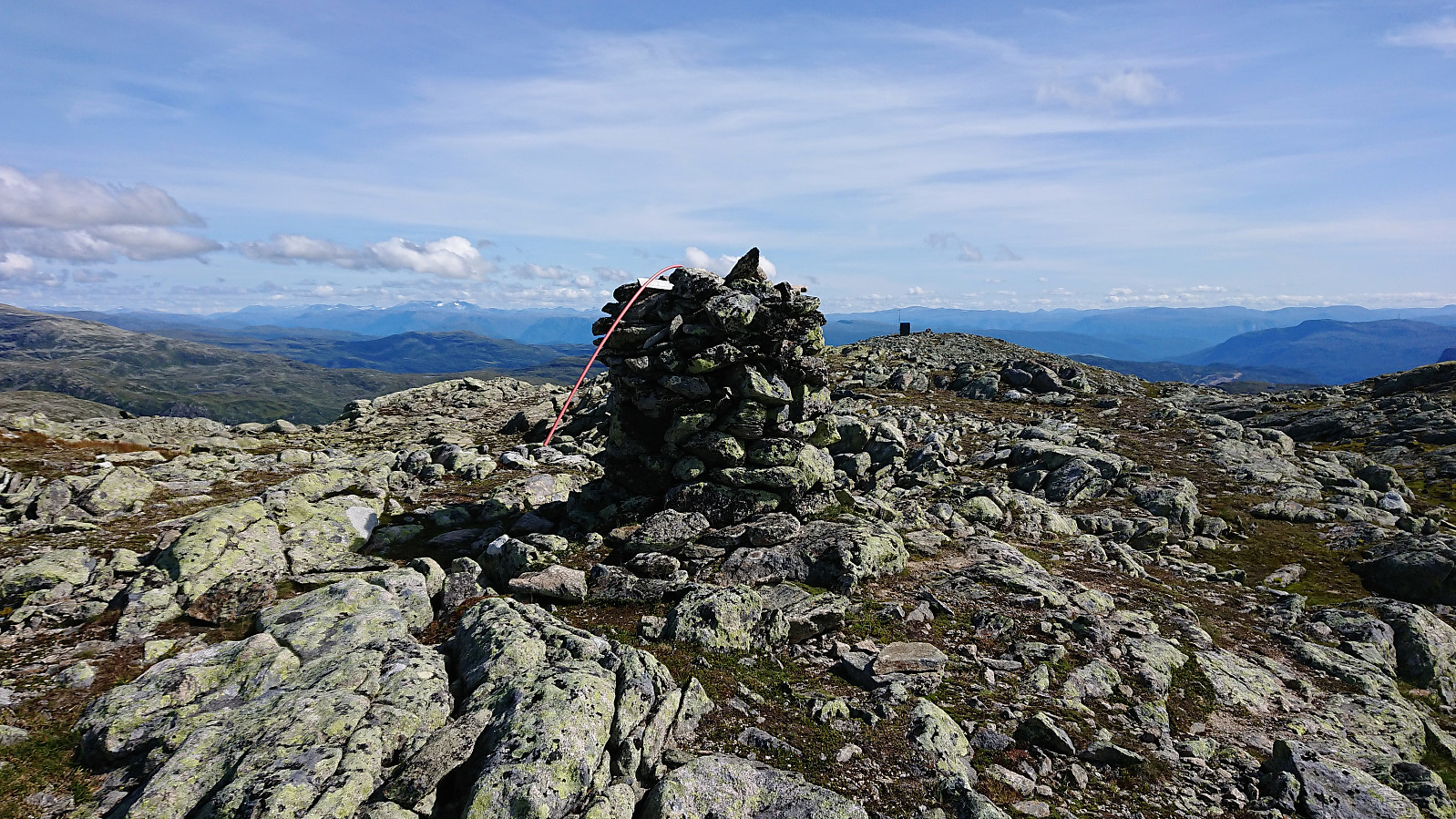
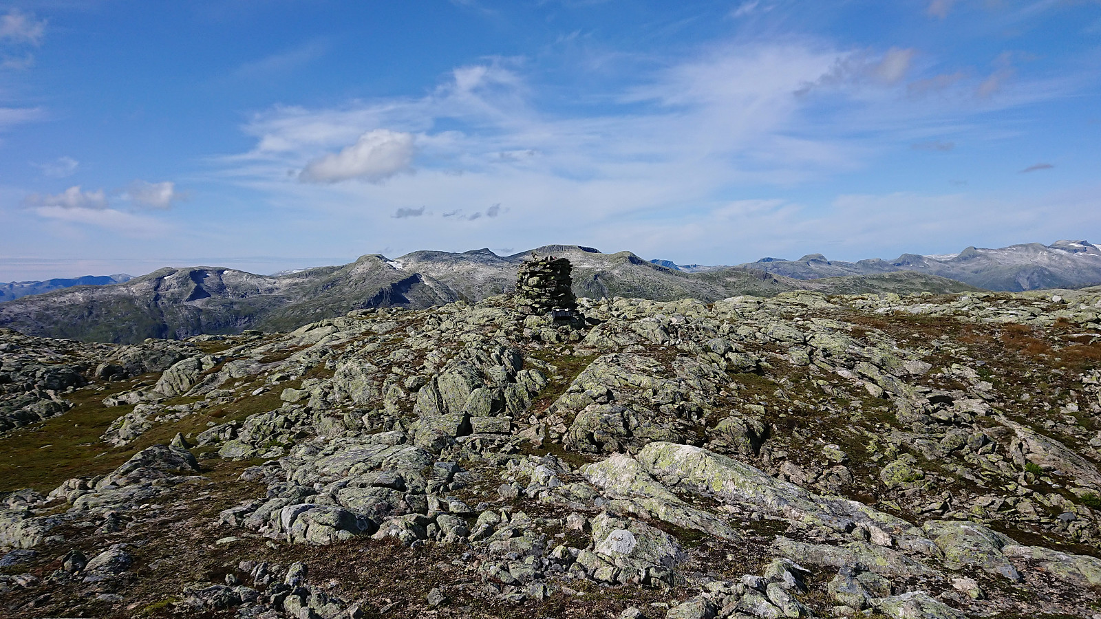
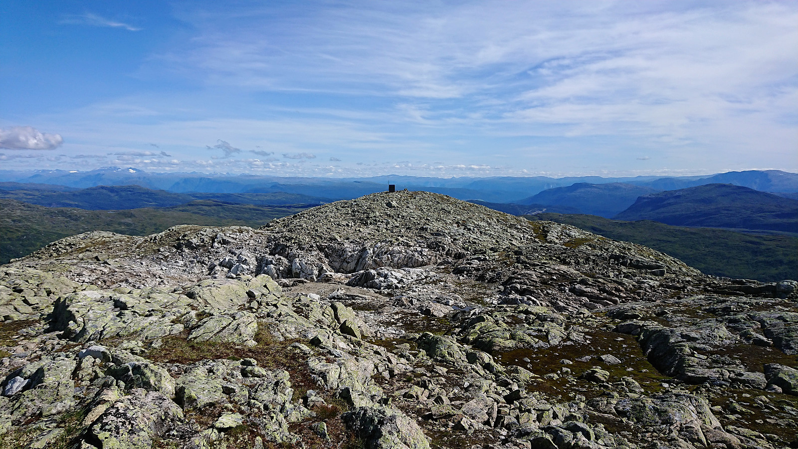
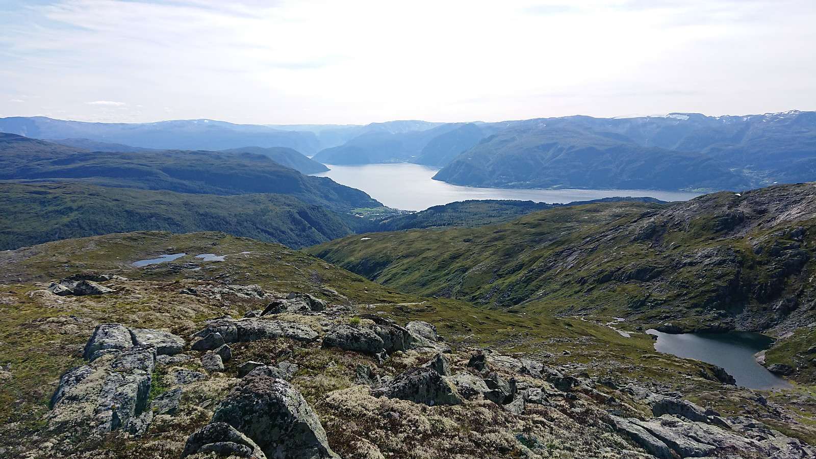
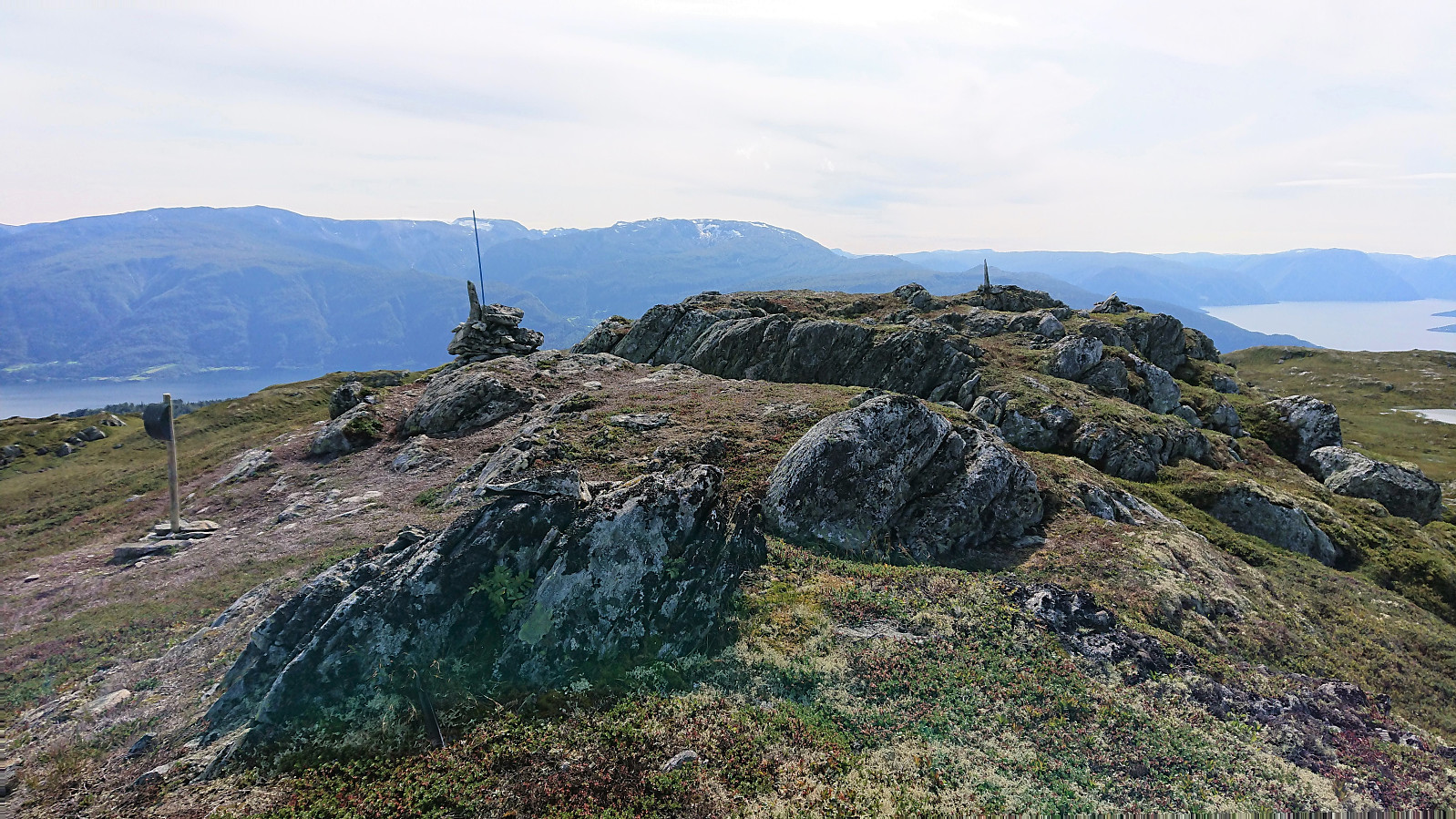
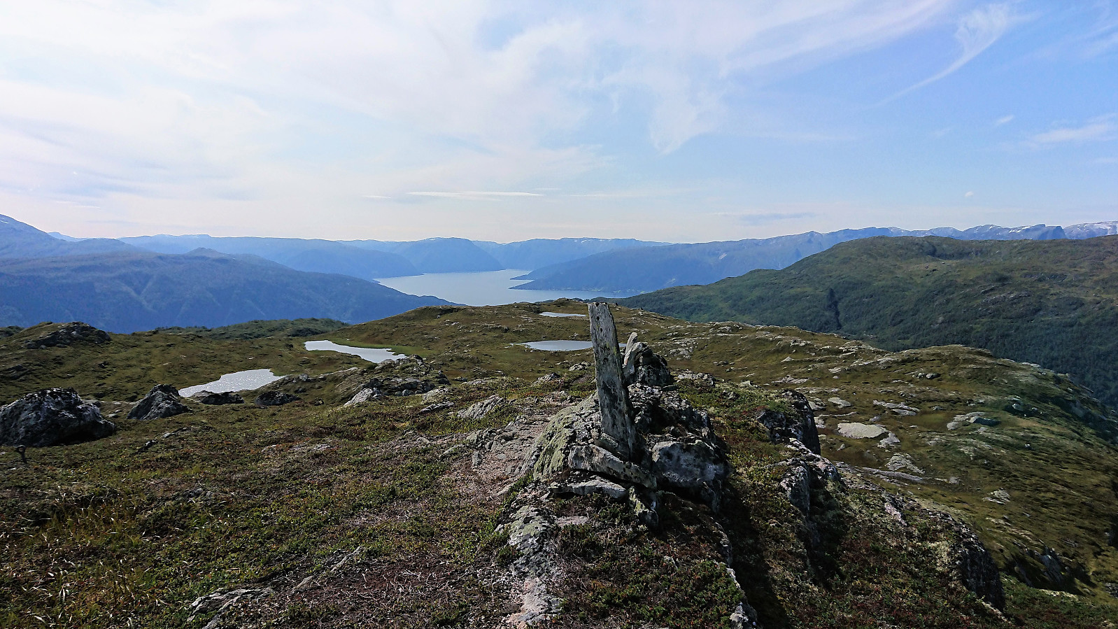
The summit was still reached without any difficulties, and provided excellent views in all directions. From the large cairn marking the highest point, I continued east where I located the visitor register on the wall of a small building. The building itself could not be entered, but one of its walls still provided a nice sheltered location for my lunch break. Very nice views here as well, especially towards the east.
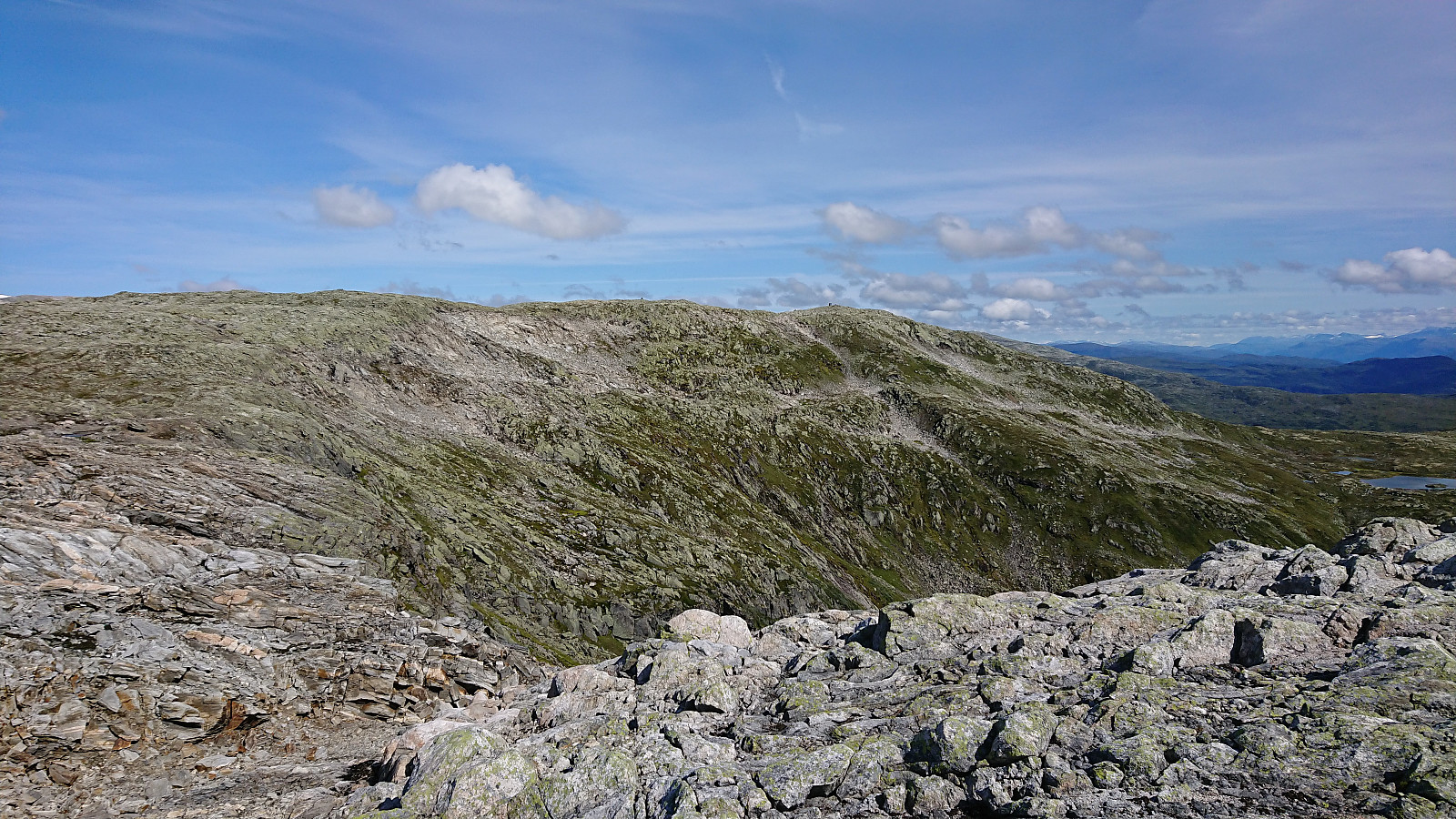
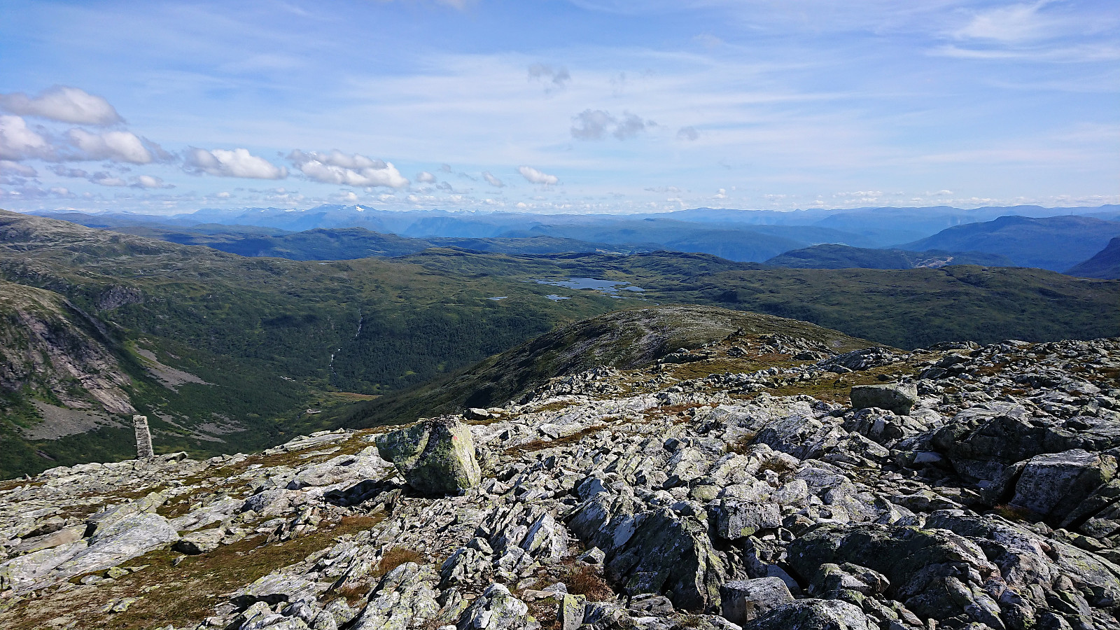
For my descent I followed more or less the same route, but this time trying to follow the small cairns more closely. I still managed to lose the trail when crossing over the last ridge before Fagreggi, and again had to find my own way, before later reconnecting with the trail. A quick visit to Rjupeskar was also included, which even had its own visitor register.
In summary, an excellent hike that can be highly recommended. Note that the distance to the summit of Kjeringafjell is clearly not 6.2 km as indicated on the sign at the parking lot at Kleppa though, but rather closer to 10 km.


| Startzeitpunkt | 15.08.2019 10:32 (UTC+01:00 SZ) |
| Endzeitpunkt | 15.08.2019 15:58 (UTC+01:00 SZ) |
| Gesamtzeit | 5h 25min |
| Zeit in Bewegung | 4h 52min |
| Pausenzeit | 0h 33min |
| Gesamtschnitt | 3,5km/h |
| Bewegungsschnitt | 3,9km/h |
| Entfernung | 19,0km |
| Höhenmeter | 1.071m |

Benutzerkommentare