Grøet, Flæfjellet and Storafjellet (Roundtrip) (27.07.2019)

| Startsted | Eikedalen (388moh) |
|---|---|
| Sluttsted | Eikedalen (391moh) |
| Turtype | Fjelltur |
| Turlengde | 4t 55min |
| Distanse | 16,5km |
| Høydemeter | 978m |
| GPS |
|
| Bestigninger | Flæfjellet (938moh) | 27.07.2019 |
|---|---|---|
| Grøet (920moh) | 27.07.2019 | |
| Storafjellet (913moh) | 27.07.2019 | |
| Andre besøkte PBE'er | Eikedalen Skisenter (455moh) | 27.07.2019 |
| Skeiskvanndalsvatnet bro (551moh) | 27.07.2019 |
Grøet, Flæfjellet and Storafjellet (Roundtrip)
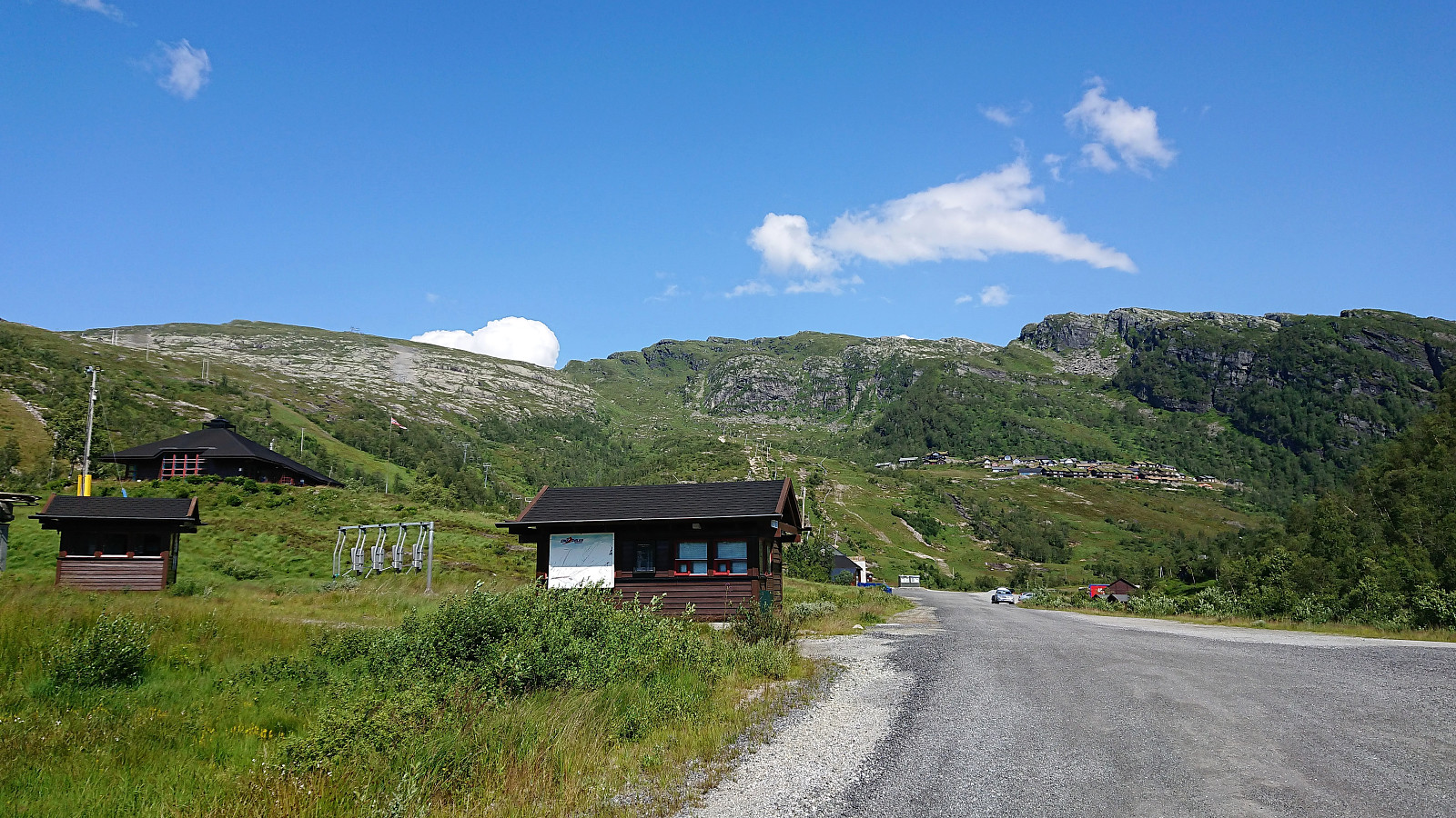
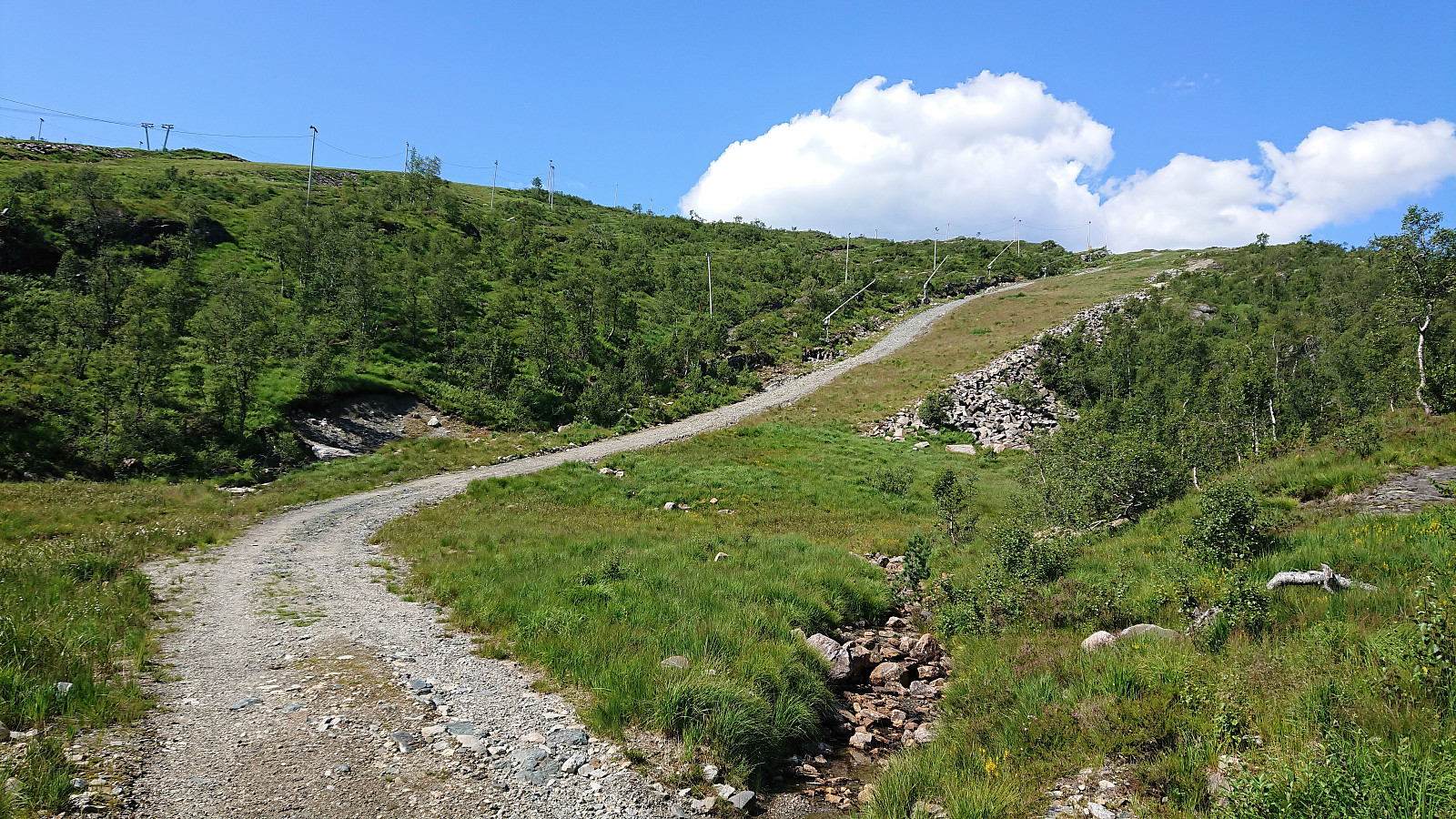
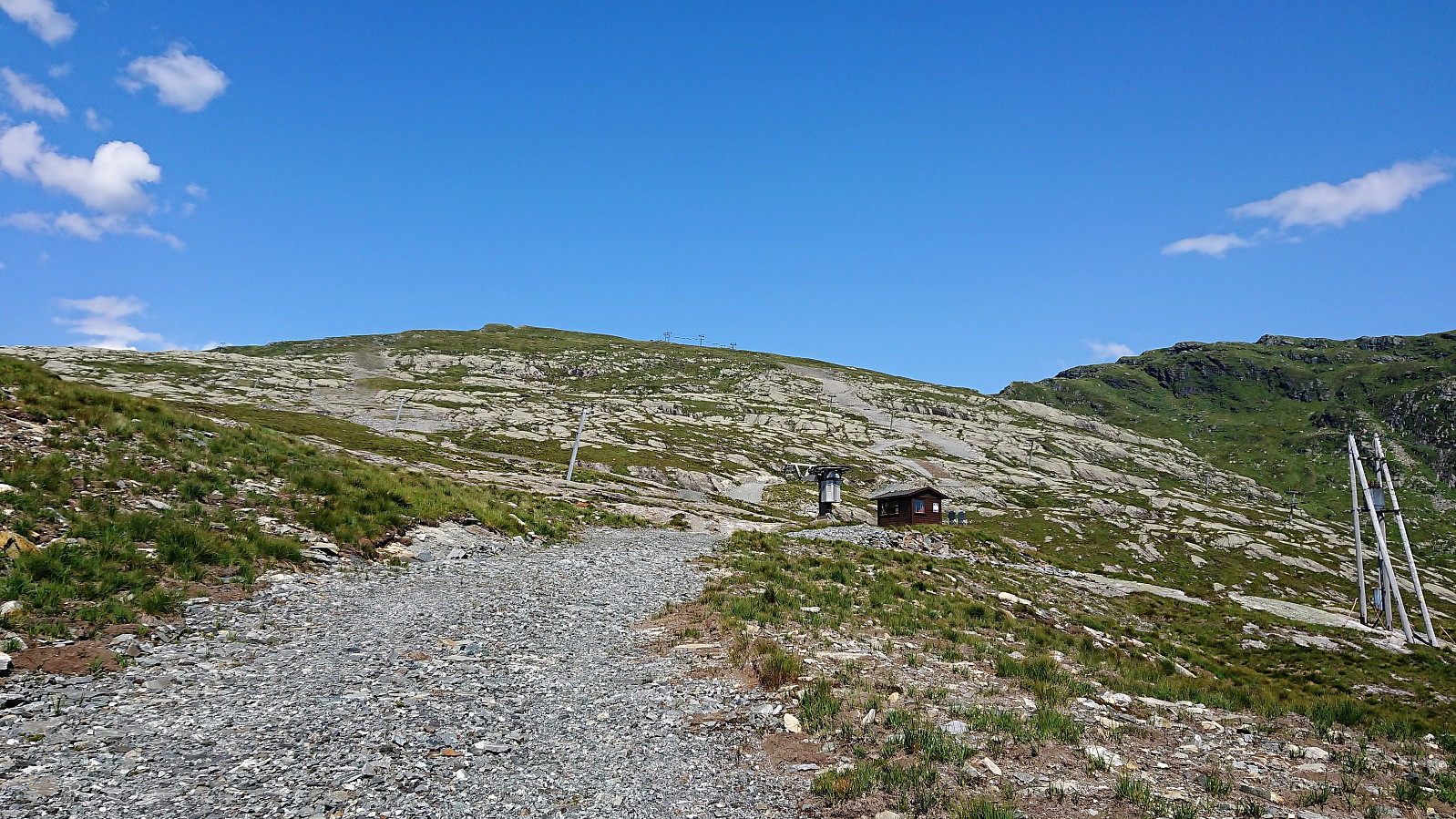
Started by taking the bus to Eikedalen (bus stop called Eikedalen Skisenter) and walked along the road up to the start of the ski slopes. From there I followed a steep tractor road west and later north, taking me almost all the way to the summit of Grøet. The final off-road stretch to the summit was straightforward. By now the light breeze had picked up quite a bit, which was very welcome on this warm summer day, with temperatures even this high probably being above 25.
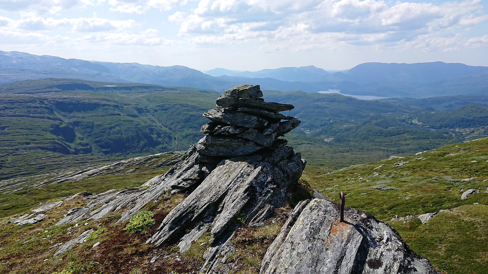
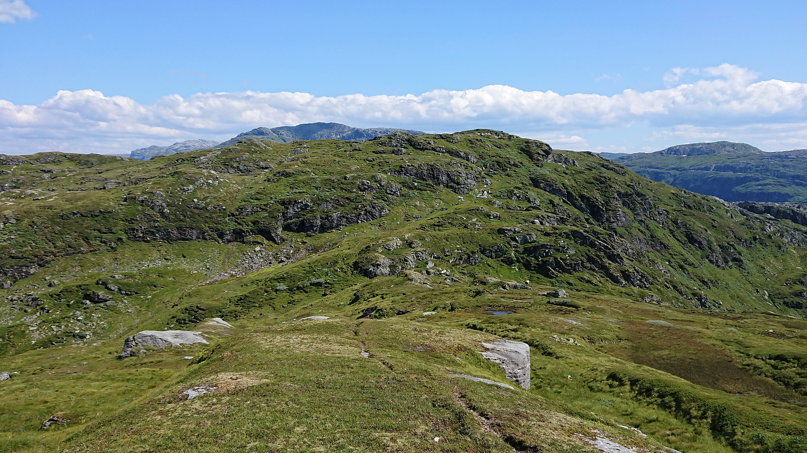
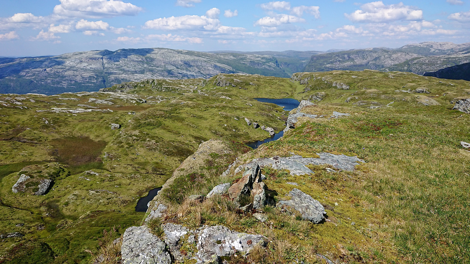
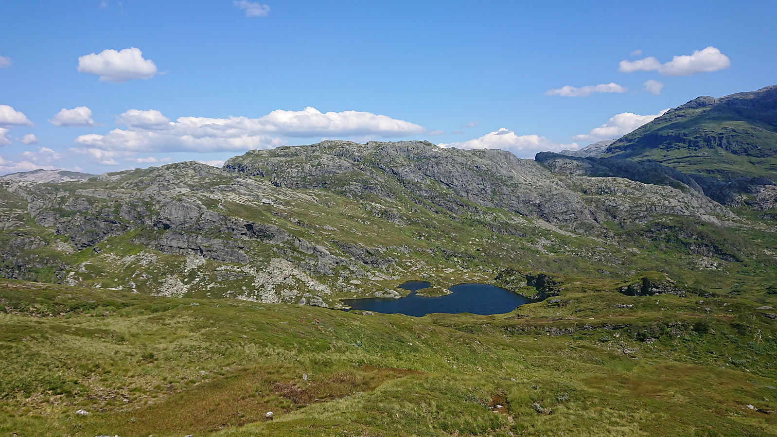
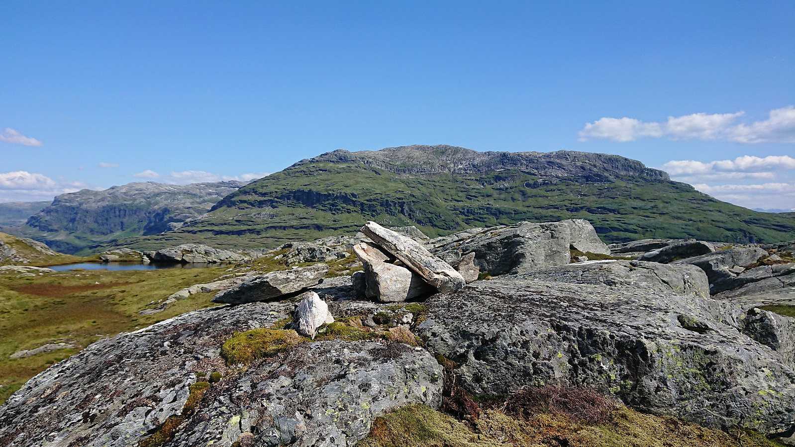
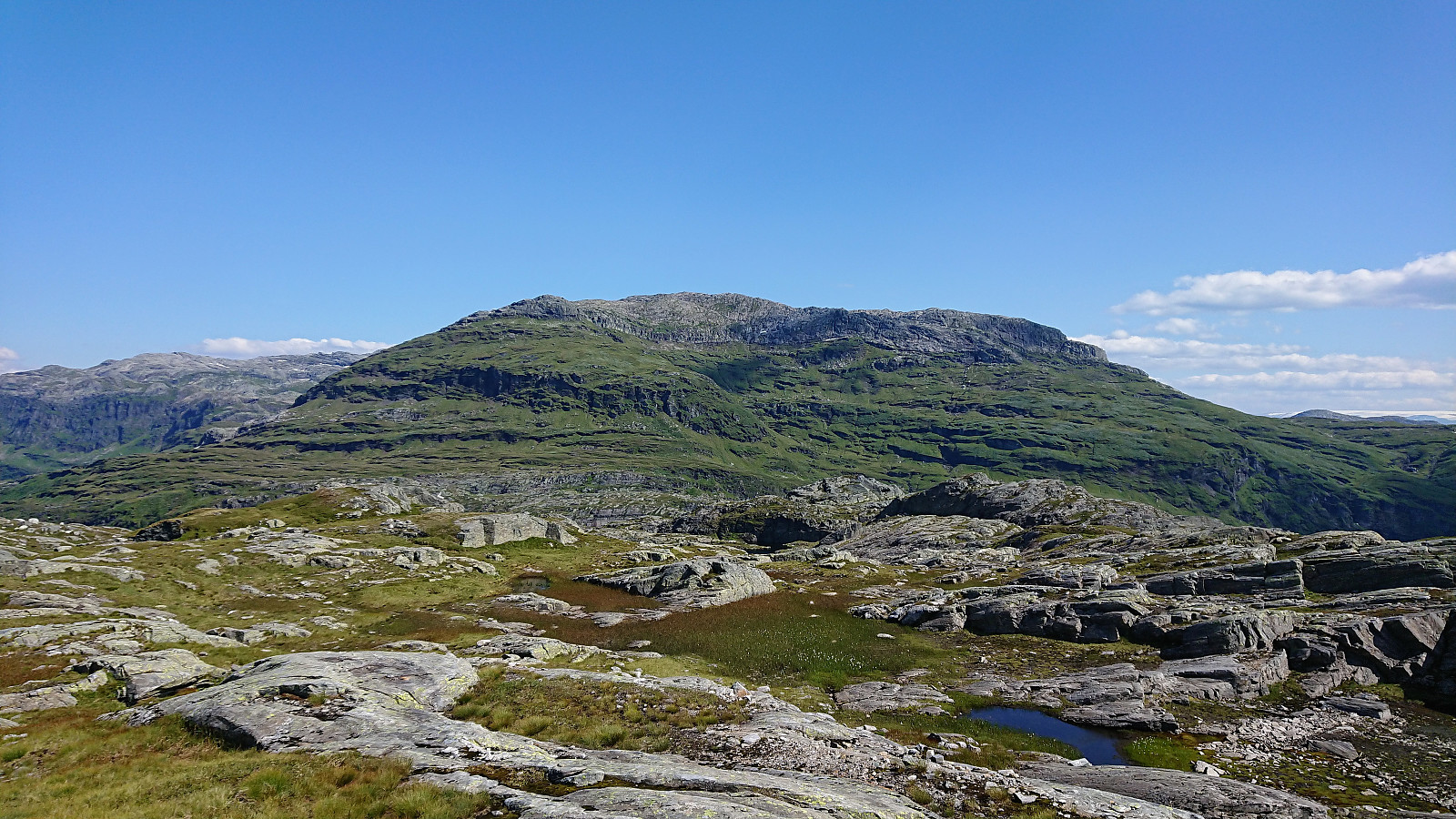
I made a short detour north for better views down to Kvitingvatnet, before turning east to Flæfjellet, soon coming across a trail/animal track that I could easily follow all the way to the summit. I did make another short detour south just before reaching the summit though, just to be able to look down into Eikedalen.
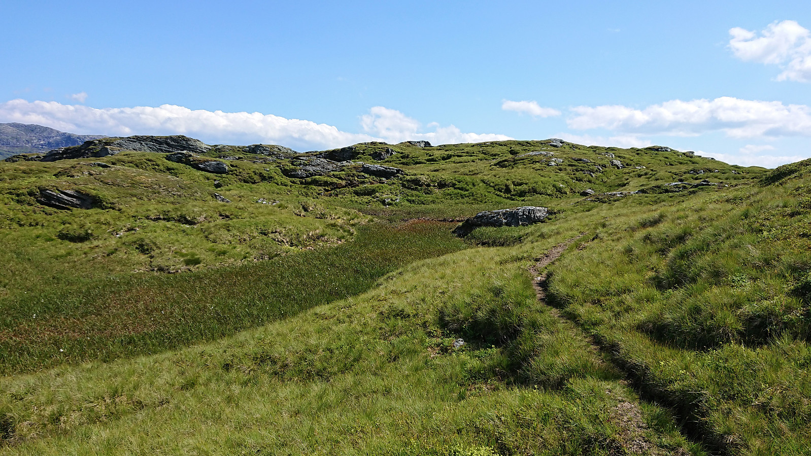
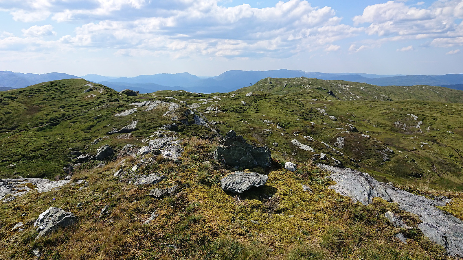
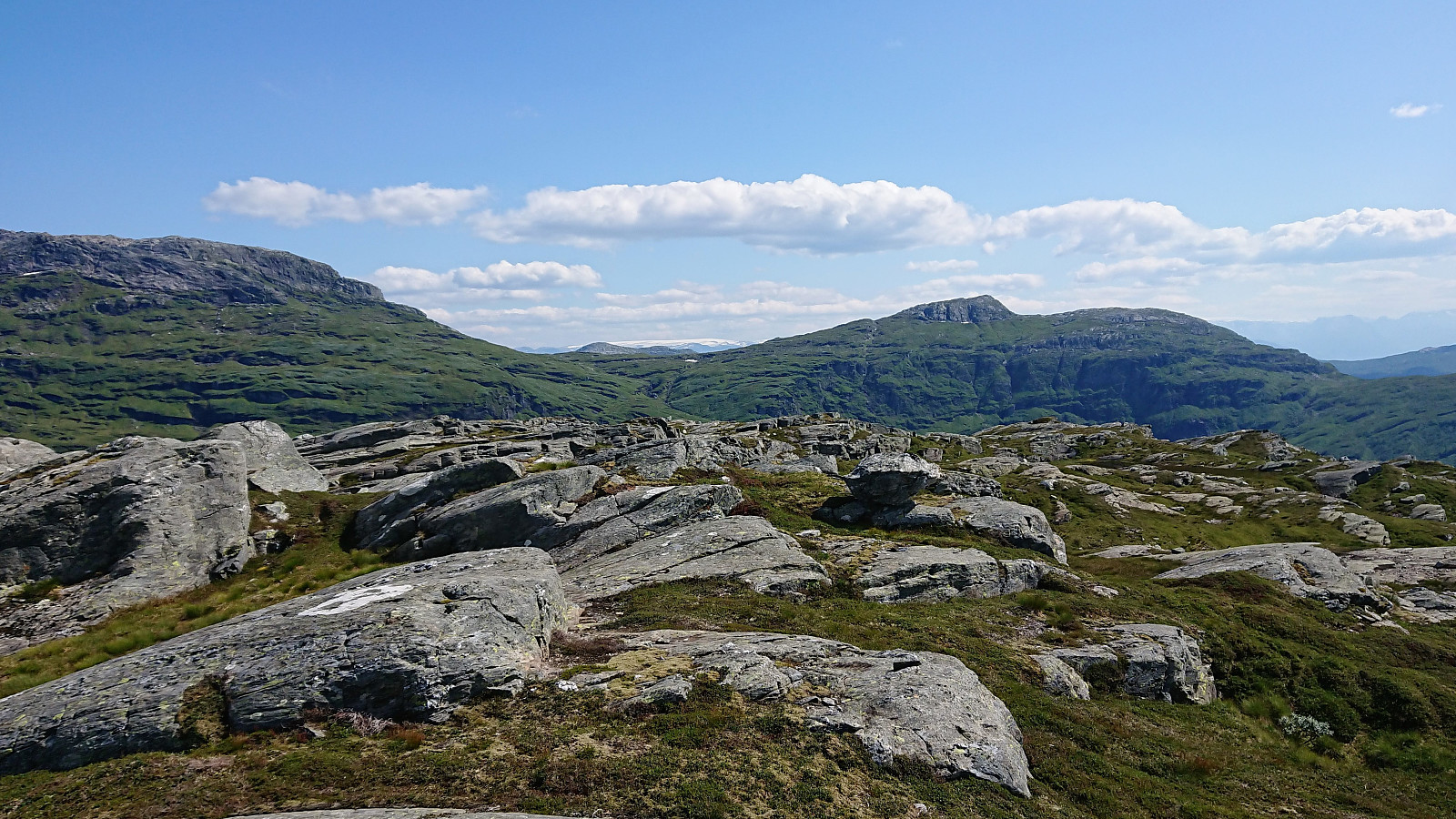
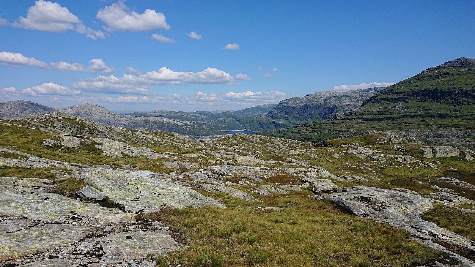
At Flæfjellet I enjoyed a quick lunch before continuing northeast towards Storafjellet. Started out on similar looking animal tracks that I had used earlier, but these soon pretty much disappeared. They were however not really needed, as the direction was straightforward and terrain open and easy to traverse. I soon passed Skeisskartjørna on the eastern side, where the tracks actually reappeared for a short time.
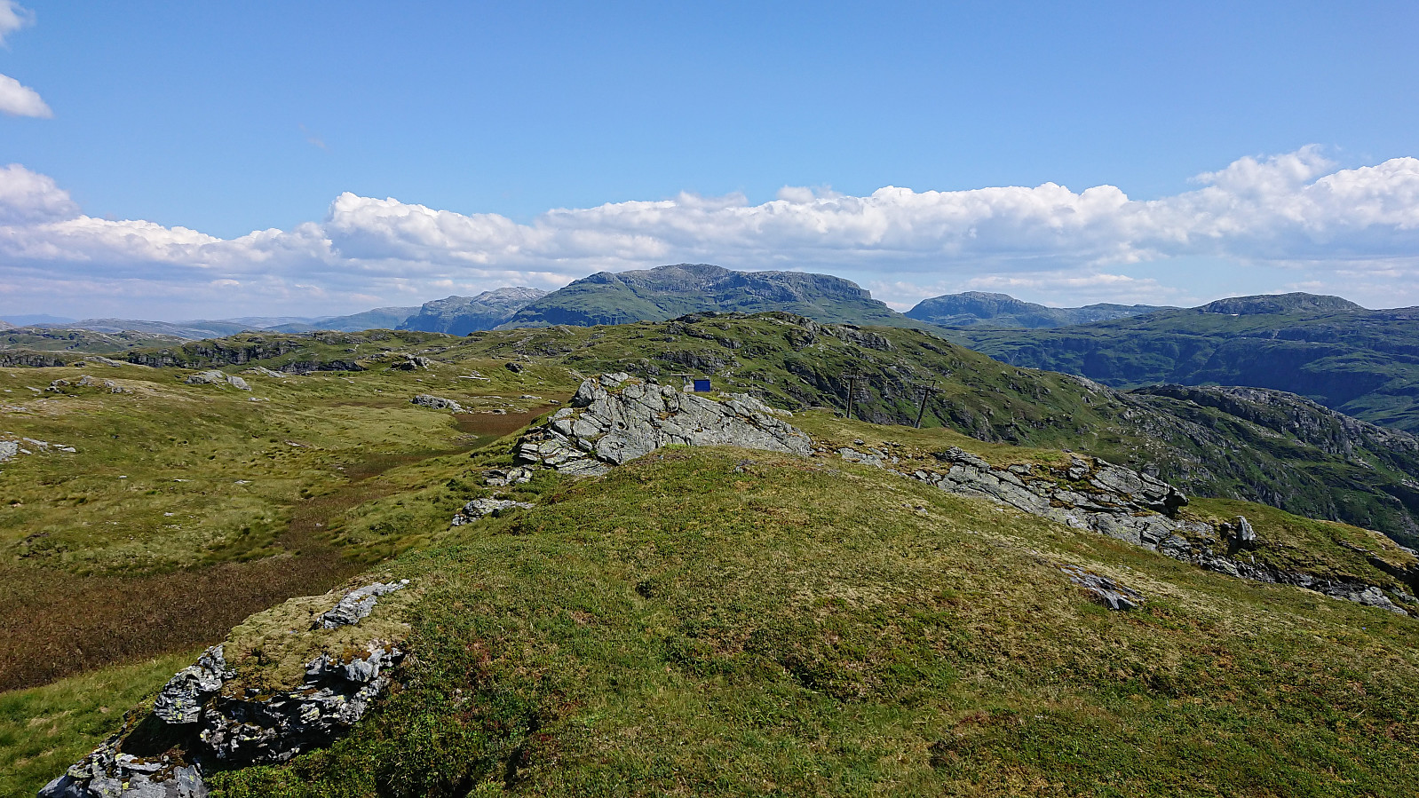
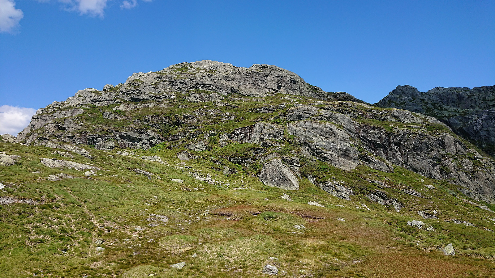
During the descent, I had had a good view of the possible routes to ascend Storafjellet, and from afar they all looked rather steep. However, as I got closer I was able to find a way of ascending that did not require any climbing at all, not even light climbing. The trick was to not ascend straight up Hardingaskaret from the south, but rather follow the small stream in the much less steep valley to the west, and then turn south up a grass-covered hillside before again turning north towards the summit.
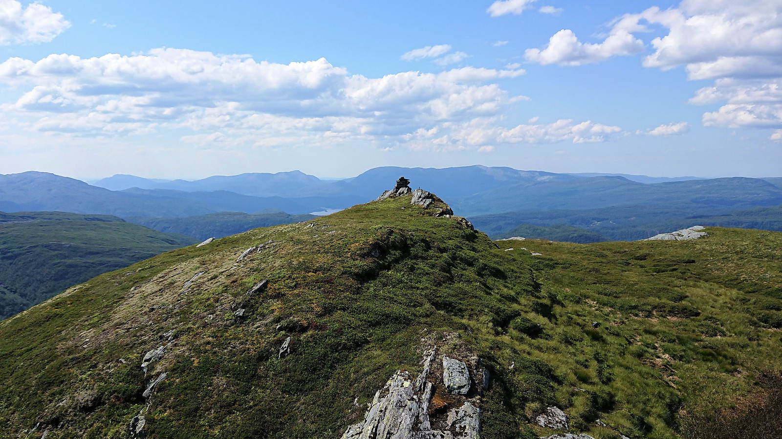
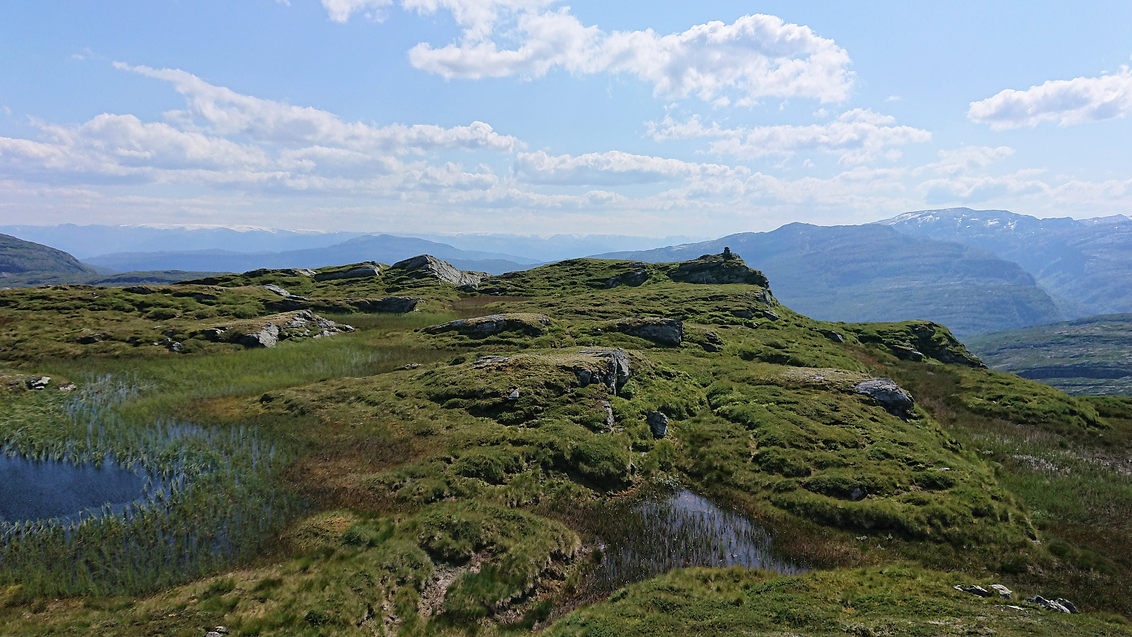
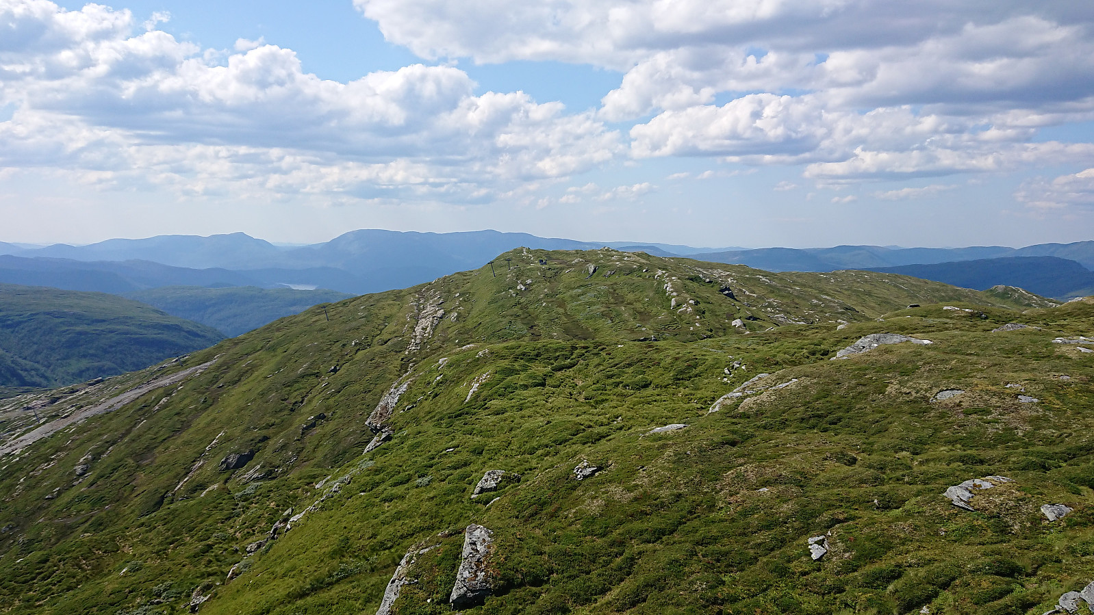
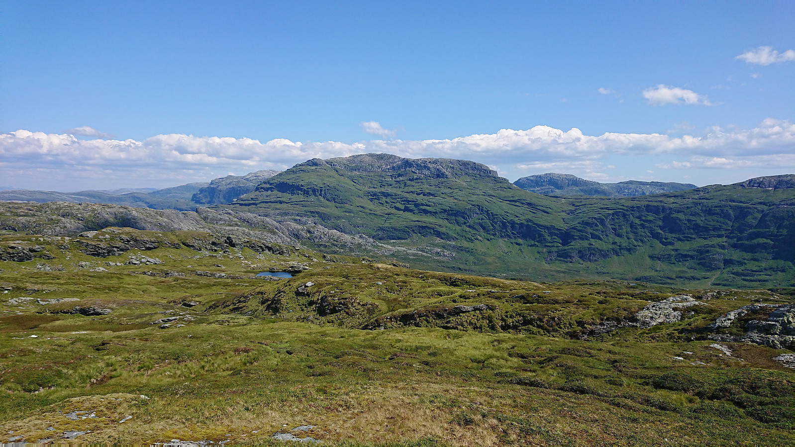
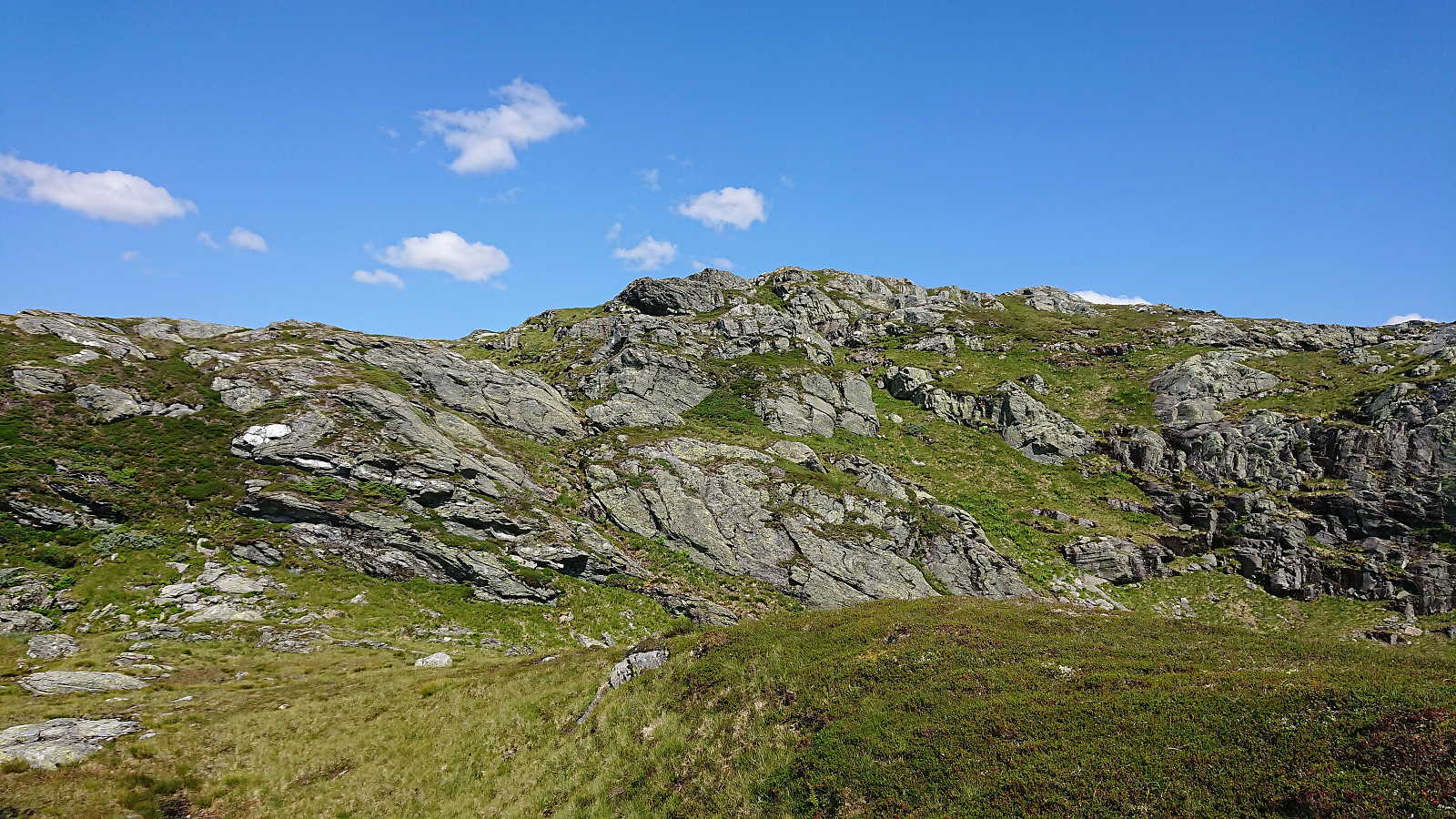
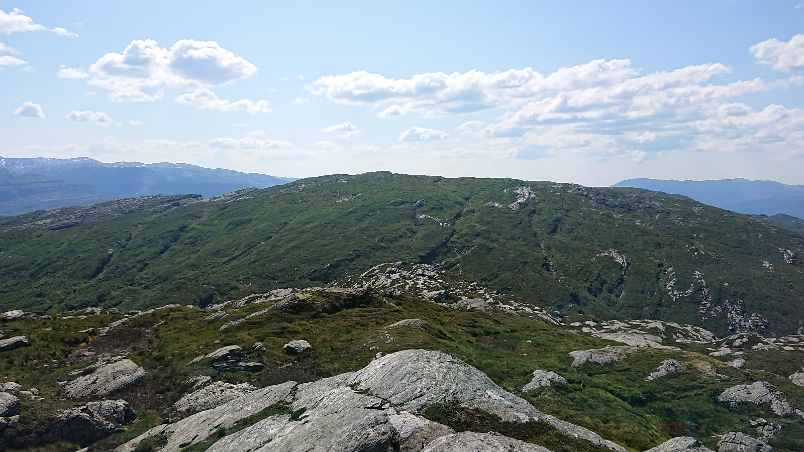
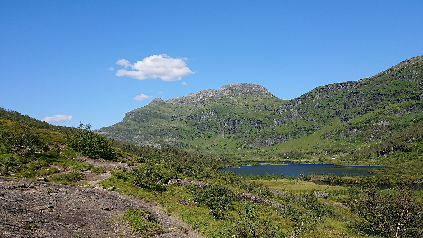
Via the above described route the summit of Storafjellet was reached without any difficulty. The summit had excellent views, especially towards Iendafjellet, and provided the location for my second short lunch break and a chance to have a closer look at the map to find the best way to descend. I decided to continue east to connect with the marked trail in between Storafjellet and Iendafjellet.
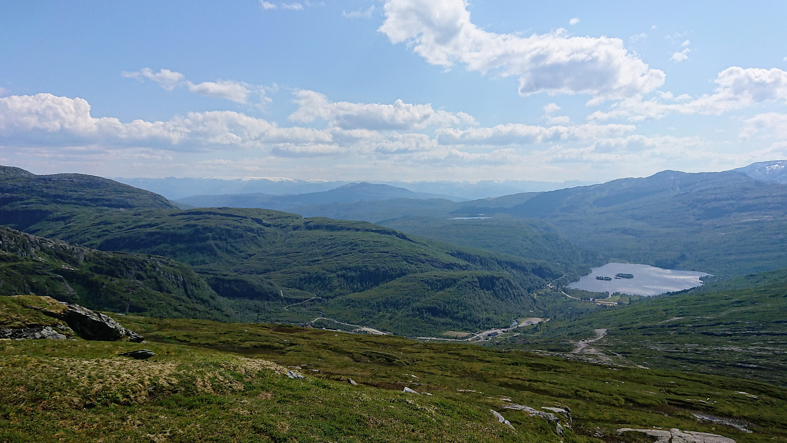
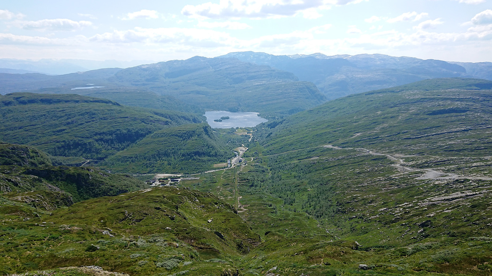
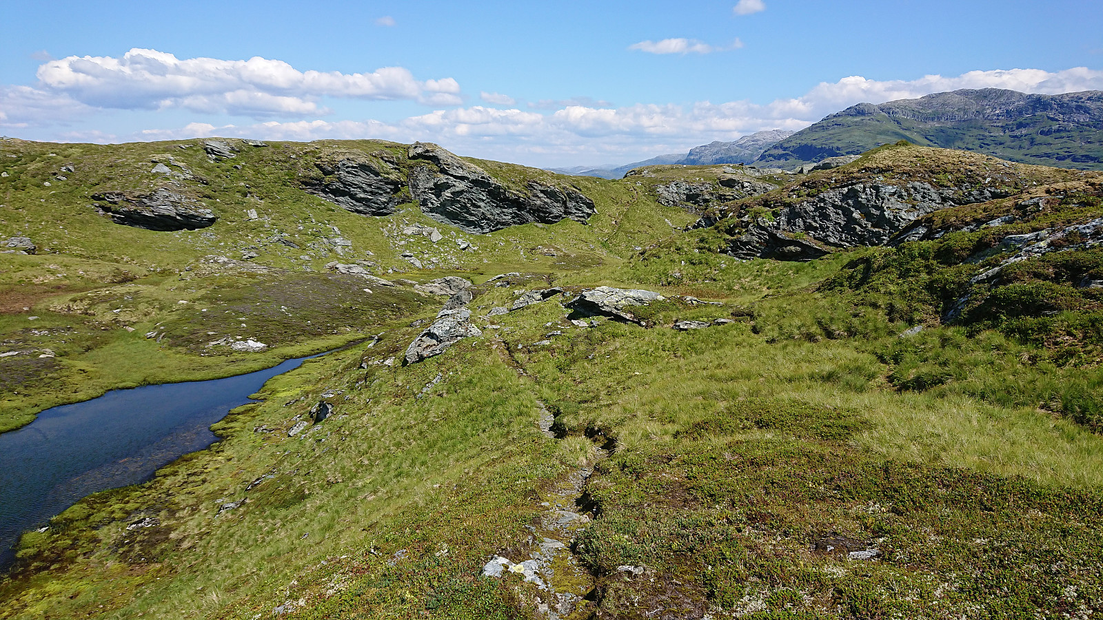
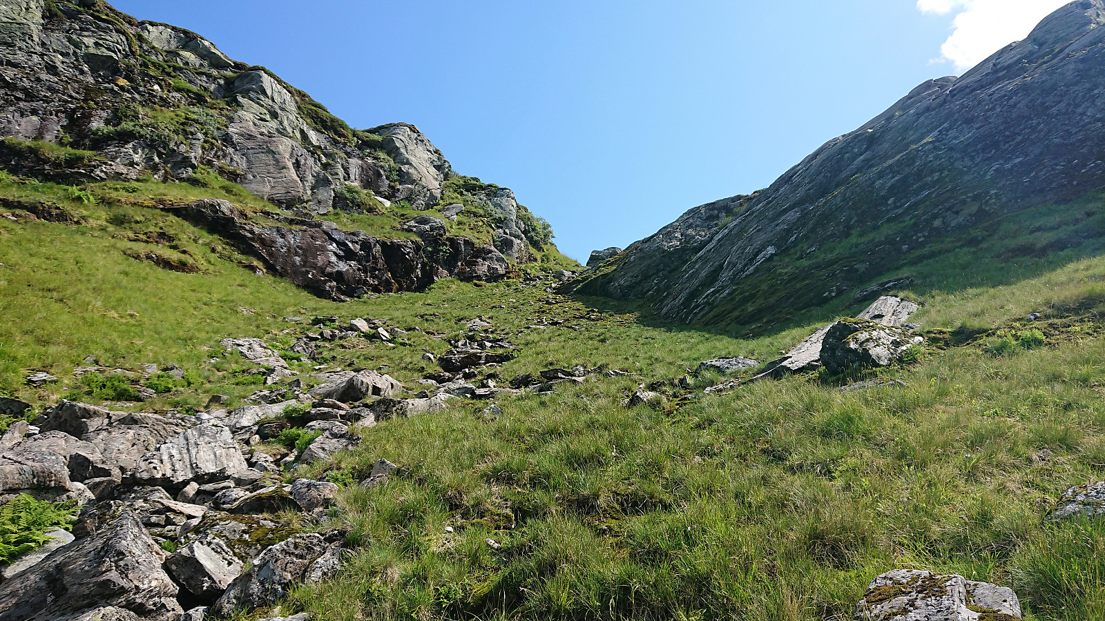
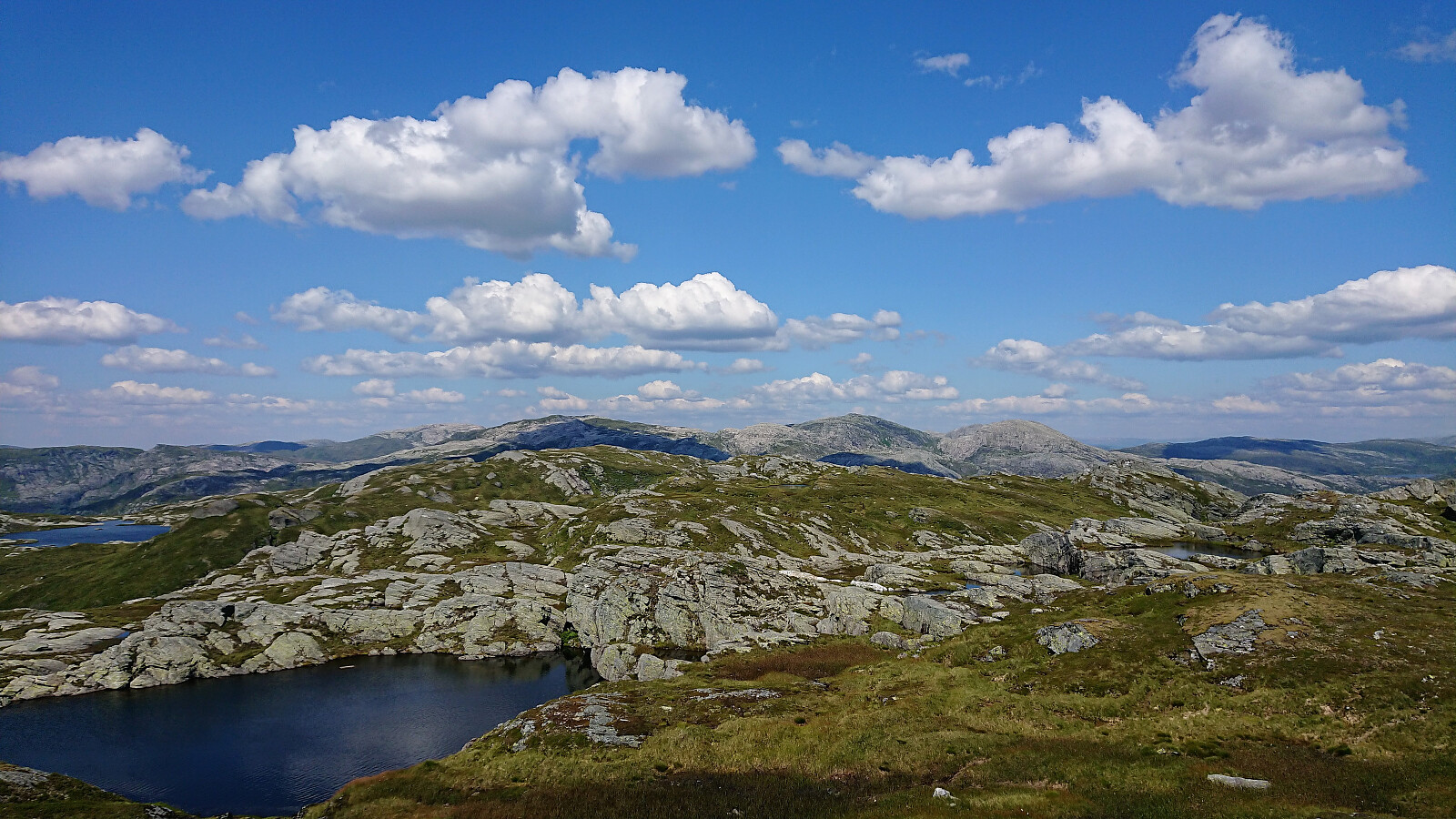
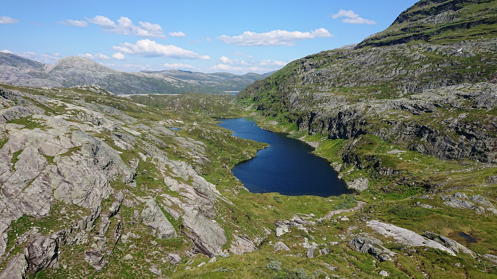
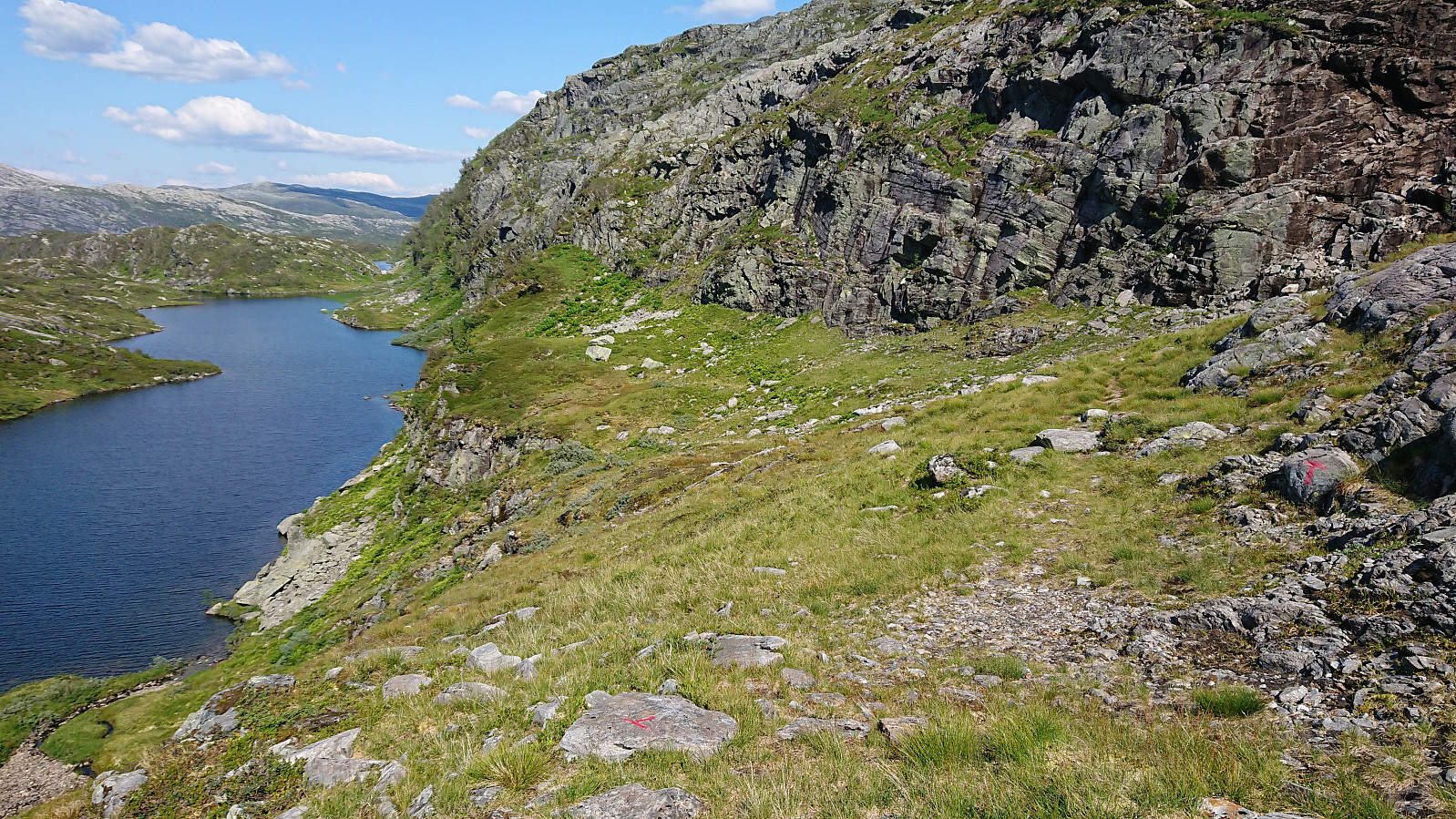
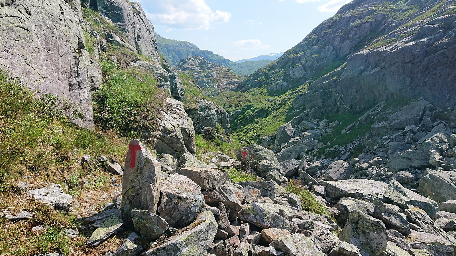
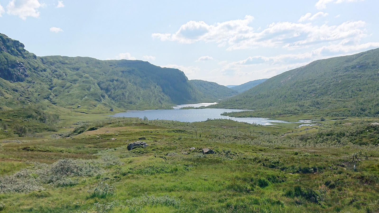
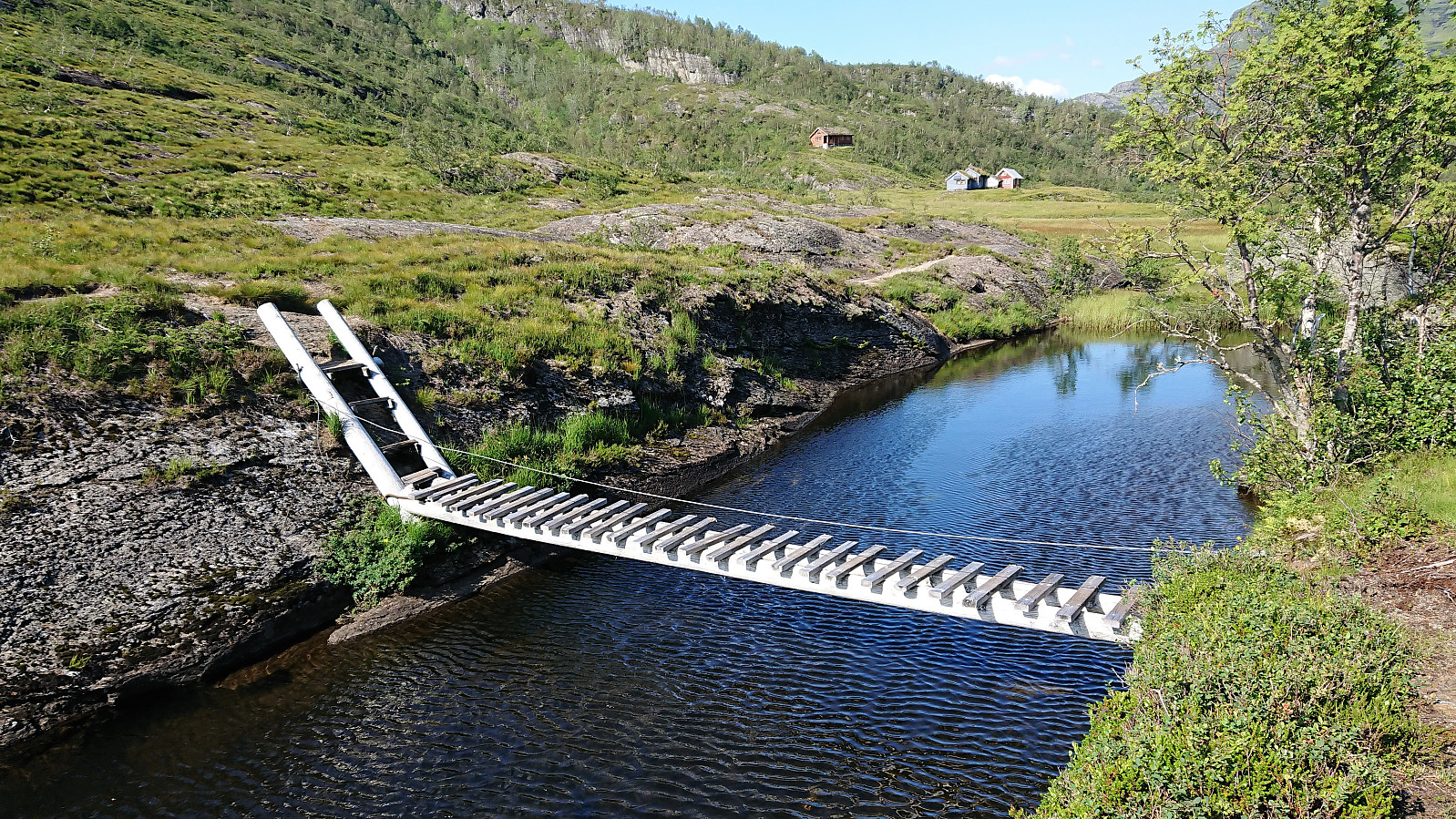
Progress was initially straightforward and would be so until the final 250 meters, where there were some steep areas to be avoided. This was however easily achieved and I soon found myself on the marked trail south of Kråketjørna. From there on I followed the trail, which started out rather interestingly in between lots of rocks in a narrow pass, down to Skeiskvanndalsvatnet, enjoying the excellent views along the way.
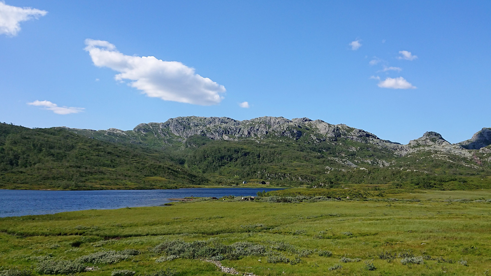
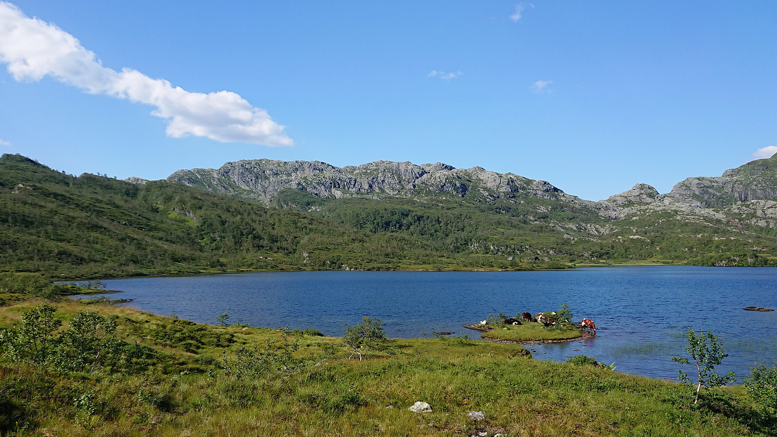
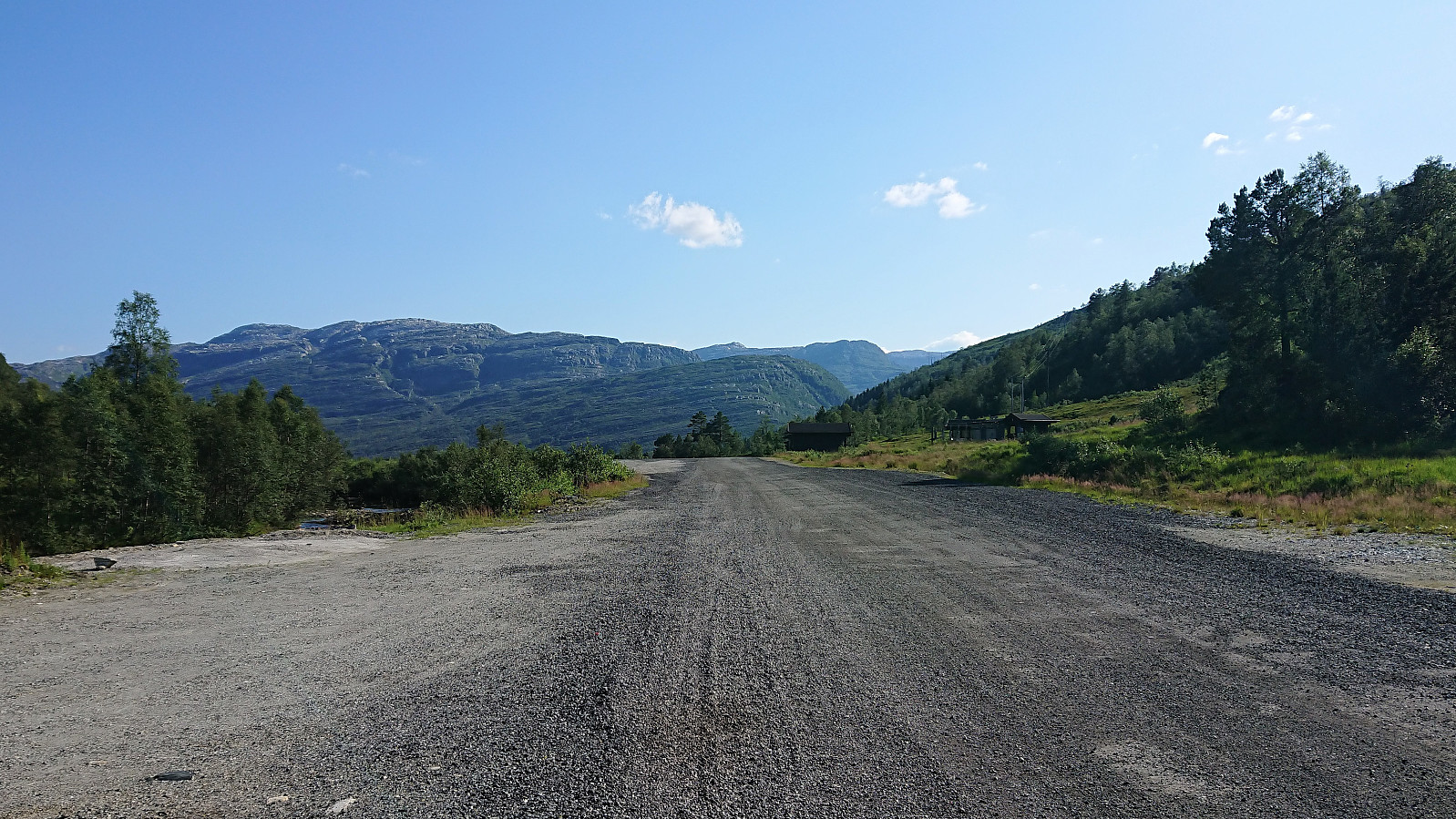
I crossed a small bridge just where Skeiskvanndalsvatnet turns into Teigaelva, and after another 1.5 km arrived at the gravel road at/above Kråni, which I then followed down to Eikedalen and finally back to the bus stop at the main road.
In summary, an excellent hike that can be very highly recommended!

| Starttidspunkt | 27.07.2019 12:48 (UTC+01:00 ST) |
| Sluttidspunkt | 27.07.2019 17:44 (UTC+01:00 ST) |
| Totaltid | 4t 55min |
| Bevegelsestid | 4t 27min |
| Pausetid | 0t 27min |
| Snittfart totalt | 3,4km/t |
| Snittfart bevegelsestid | 3,7km/t |
| Distanse | 16,5km |
| Høydemeter | 977m |

Kommentarer