Kvigedalsegga, Knutstignova, Høgenipa, Fylenipa and Beitelen (15.06.2019)

| Startpunkt | Tretteneset (13m) |
|---|---|
| Endpunkt | Dale stasjon (45m) |
| Tourcharakter | Bergtour |
| Tourlänge | 9h 21min |
| Entfernung | 22,0km |
| Höhenmeter | 1.992m |
| GPS |
|
| Besteigungen | Beitelen (417m) | 15.06.2019 |
|---|---|---|
| Fylenipa (849m) | 15.06.2019 | |
| Harafjellet (764m) | 15.06.2019 | |
| Høgenipa (877m) | 15.06.2019 | |
| Knutstignova (870m) | 15.06.2019 | |
| Kvigedalsegga (813m) | 15.06.2019 | |
| Besuche anderer PBE | Dale stasjon (45m) | 15.06.2019 |
| Dalseidstølen (407m) | 15.06.2019 | |
| Fylenipa utsiktspunkt (797m) | 15.06.2019 |
Kvigedalsegga, Knutstignova, Høgenipa, Fylenipa and Beitelen
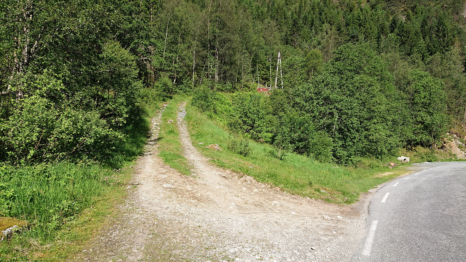
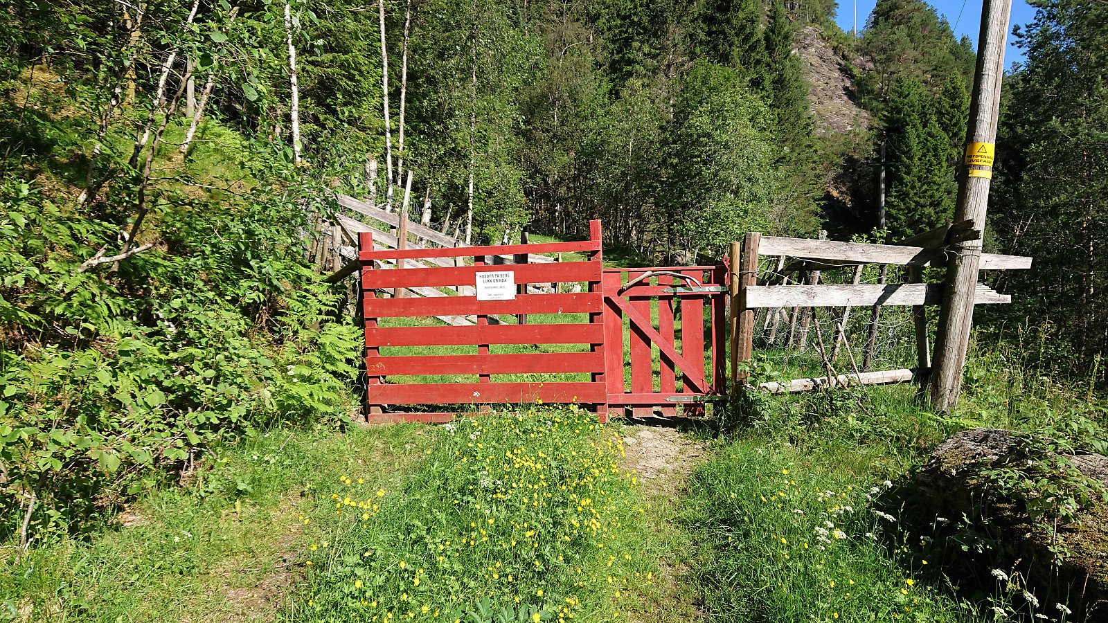
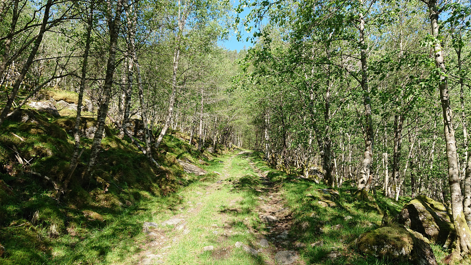
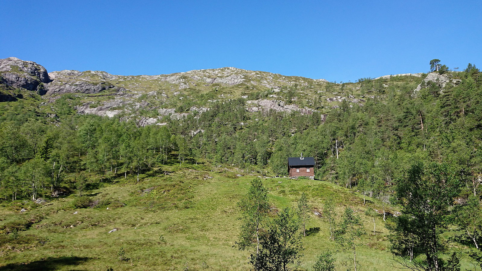
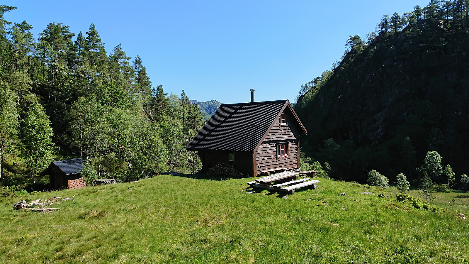
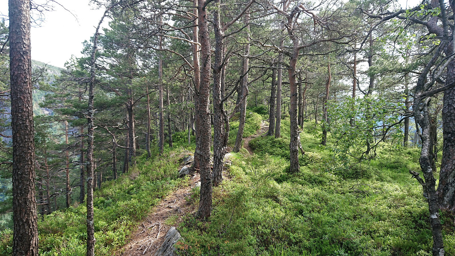
Started by taking the train to Dale and from there the bus to Tretteneset, where the bus driver provided a bit of extra service by dropping me off just where the tractor road starts (the official bus stop is a couple of hundred meters further up the road). The tractor road made the initial progress straightforward and I soon arrived at the end of the road. Here a trail to Dalseidstølen is shown on the map, but the weak trail I found did not really follow what was indicated on the map. It did however take me to Dalseidstølen, although there may a better trail that I missed.
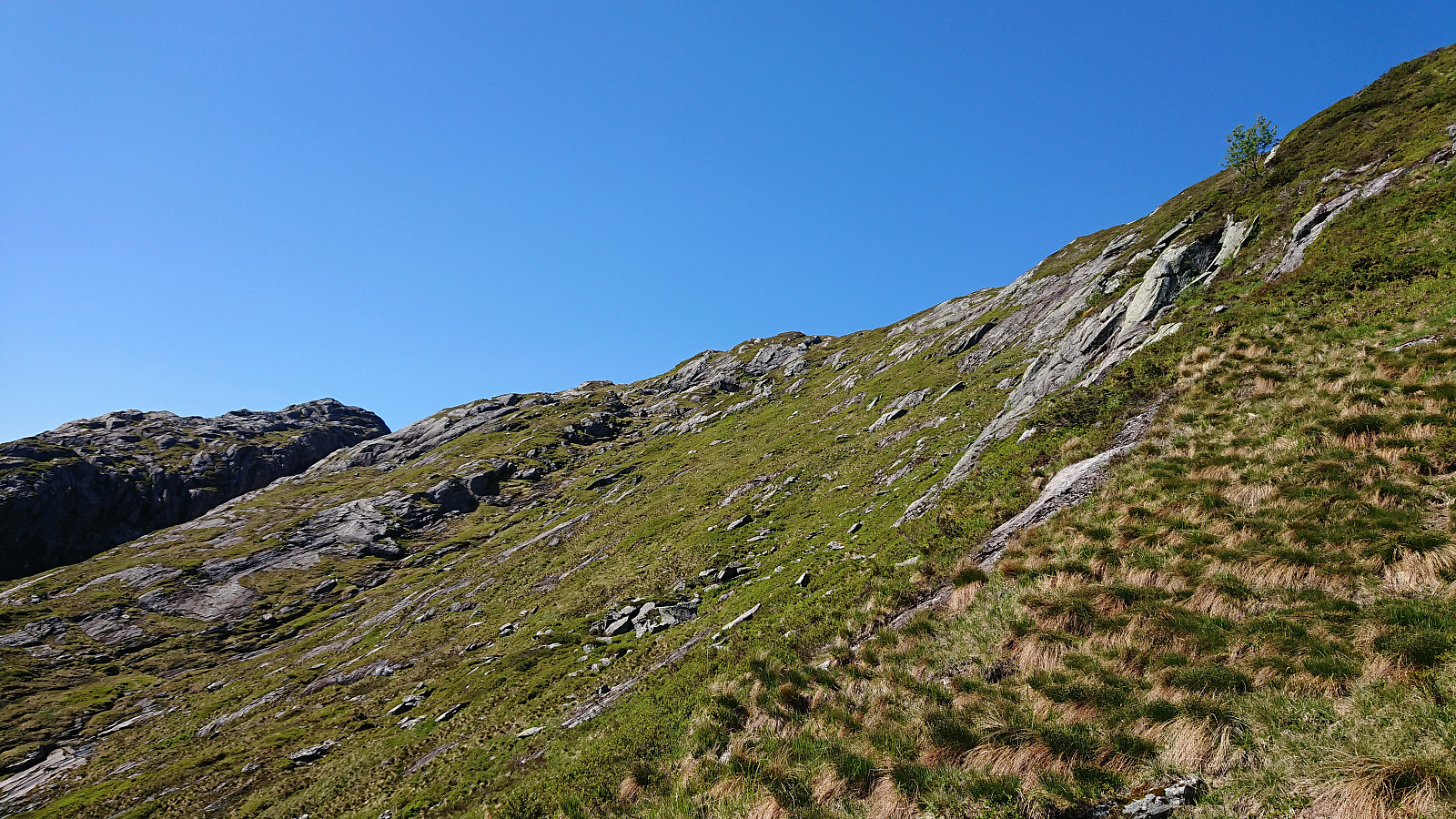
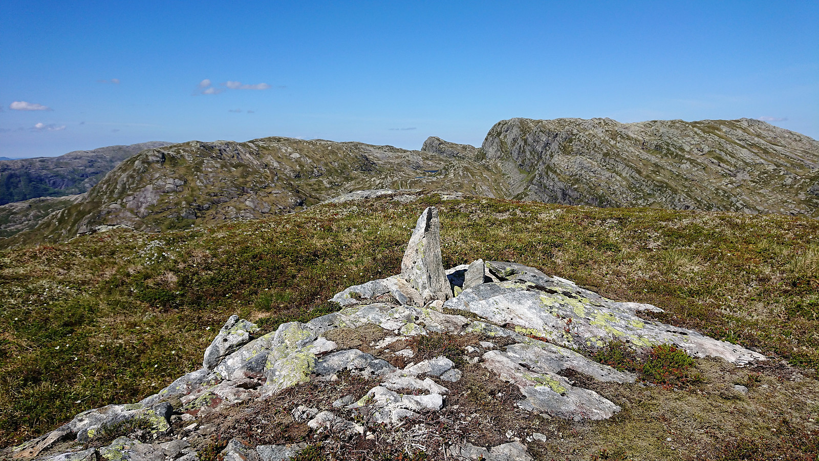
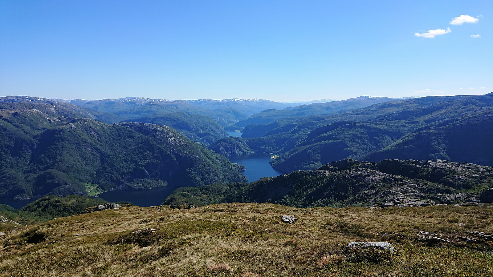
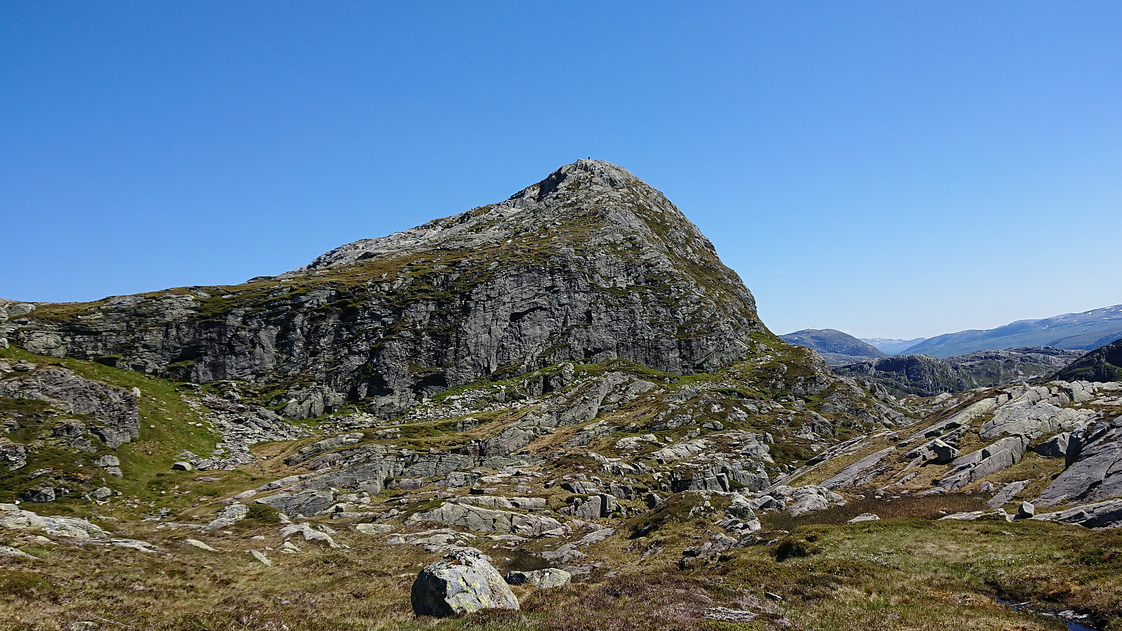
From Dalseidstølen I first turned north, following various deer tracks, before turning southwest on a more direct route to Kvigedalsegga. Note that I did come across a weak trail just after leaving the cabin, but I quickly lost it. So while my route was fairly straightforward, there may be even better options. The ascent was relatively steep, but unproblematic. Kvigedalsegga provided very nice views and a good overview of the area.
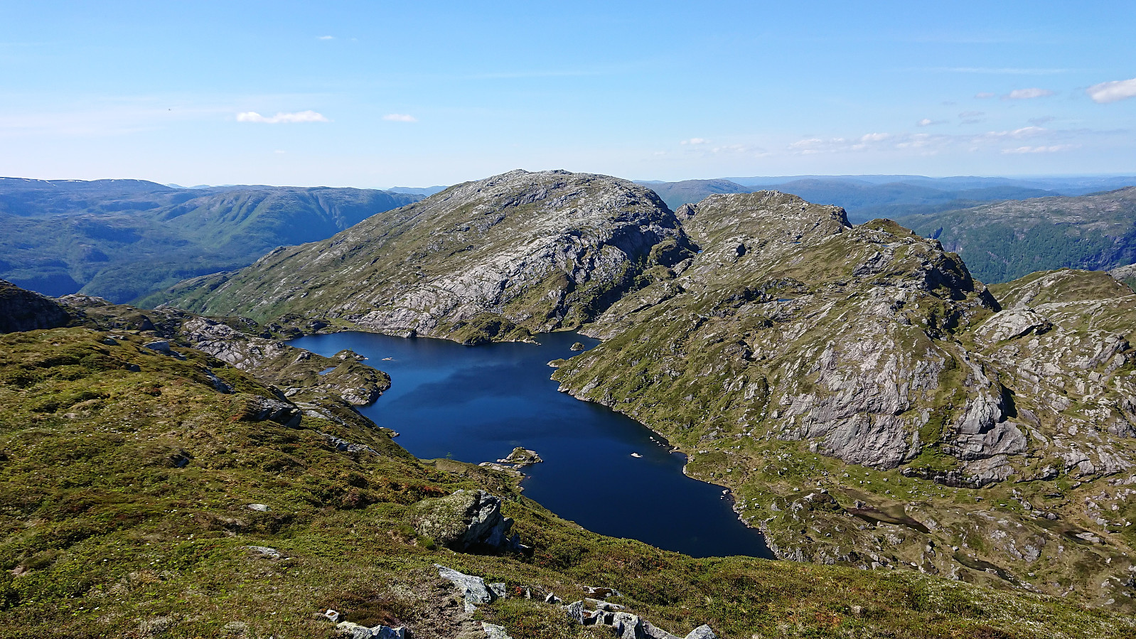
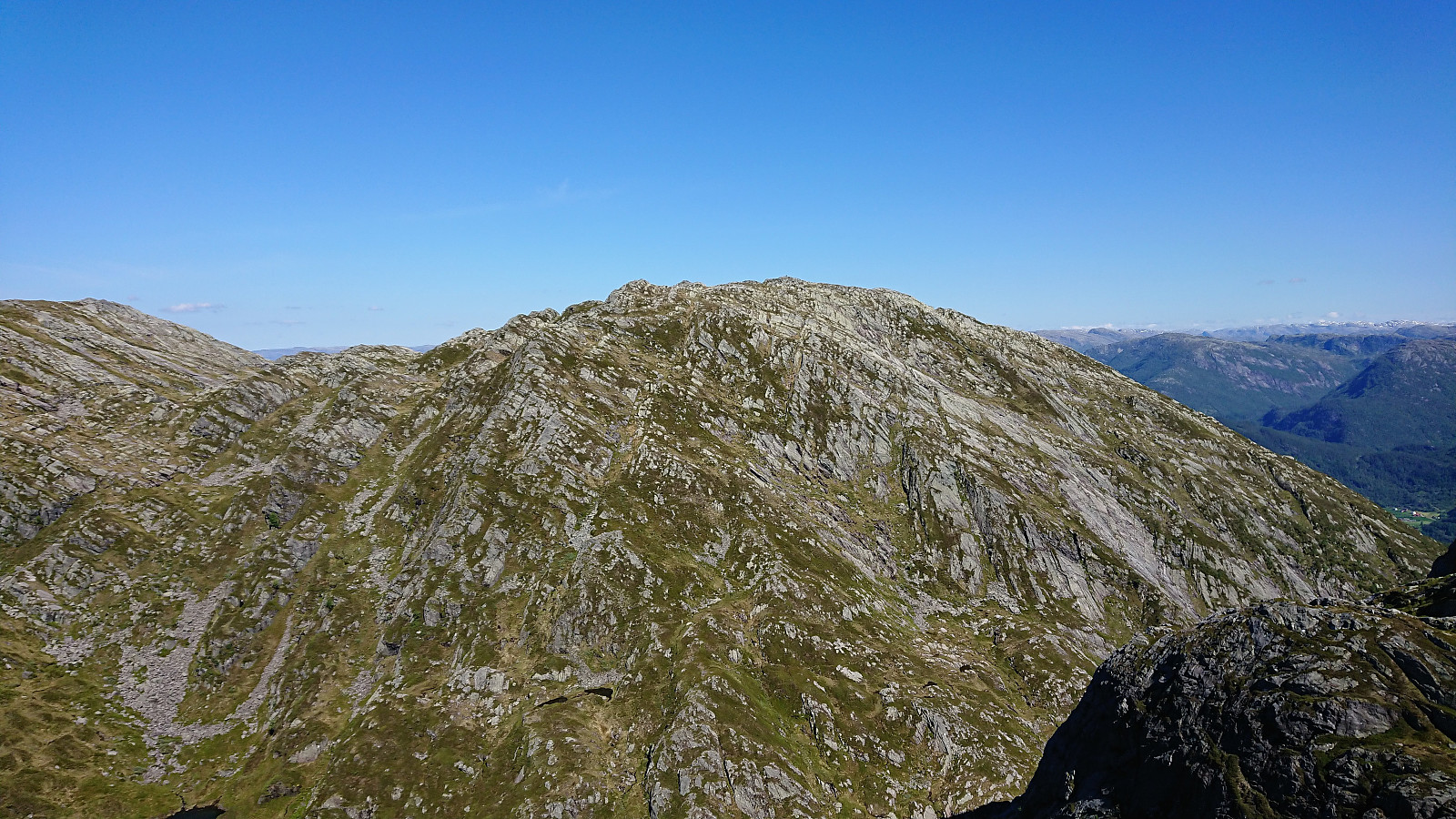
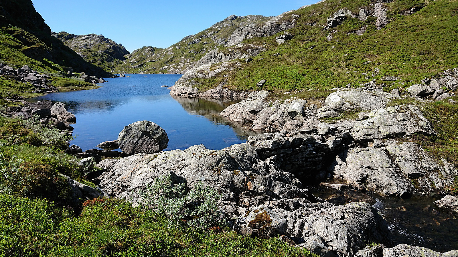
My next goal was Knutstignova, and after a closer look at the map I decided to try heading more or less directly towards it. Getting into the valley northeast of Kvigedalsegga was going to be the biggest challenge, but with a bit of care this was actually relatively straightforward. Would not recommend this route during the winter though. Upon reaching Nedre Krokavatnet, I continued with a direct steep accent to Knutstignova, again following various deer tracks. The summit was reached without any issues, and even without requiring any light climbing. But again probably only recommended as a summer route.
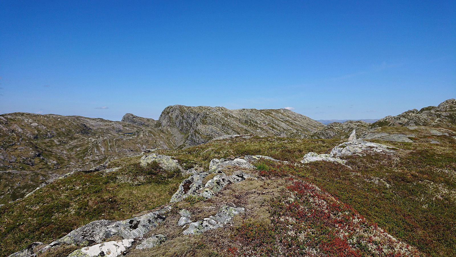
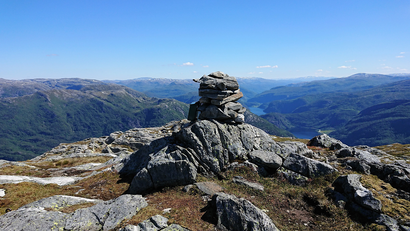
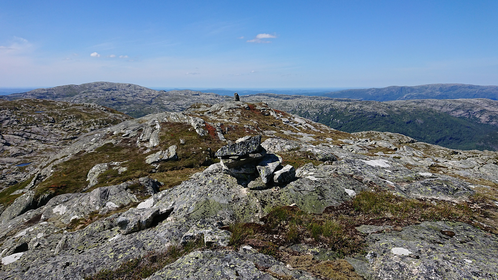
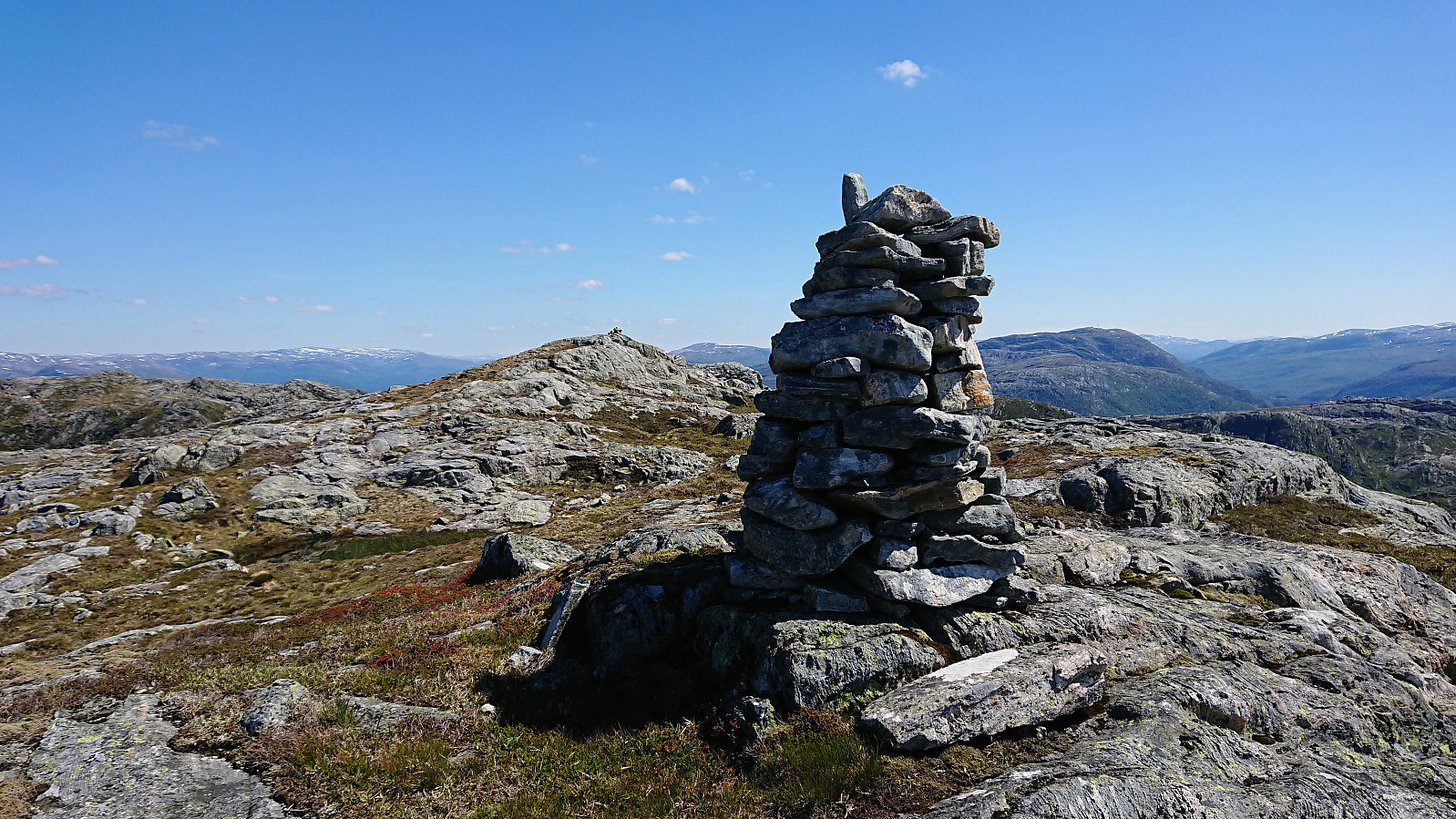
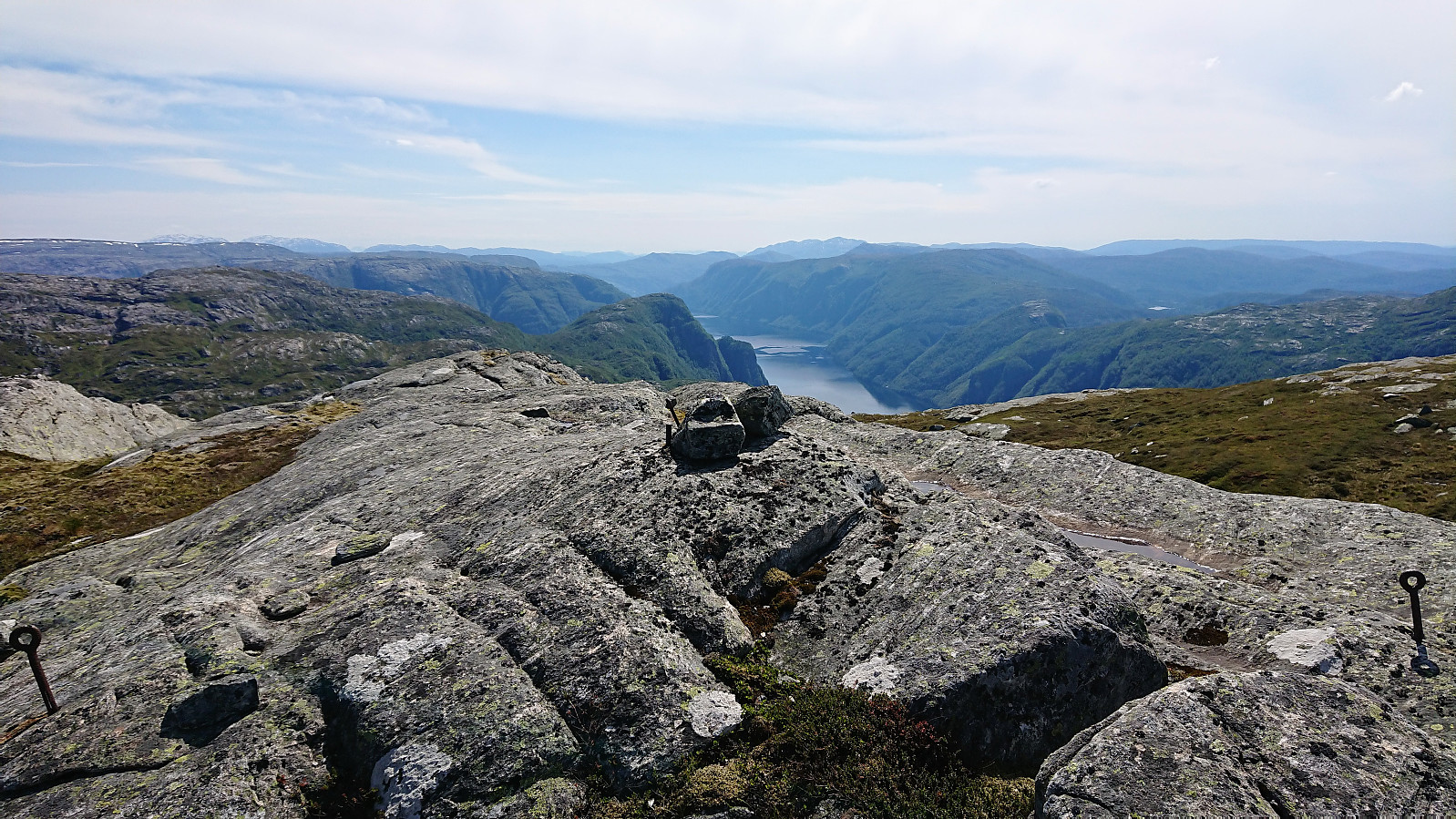
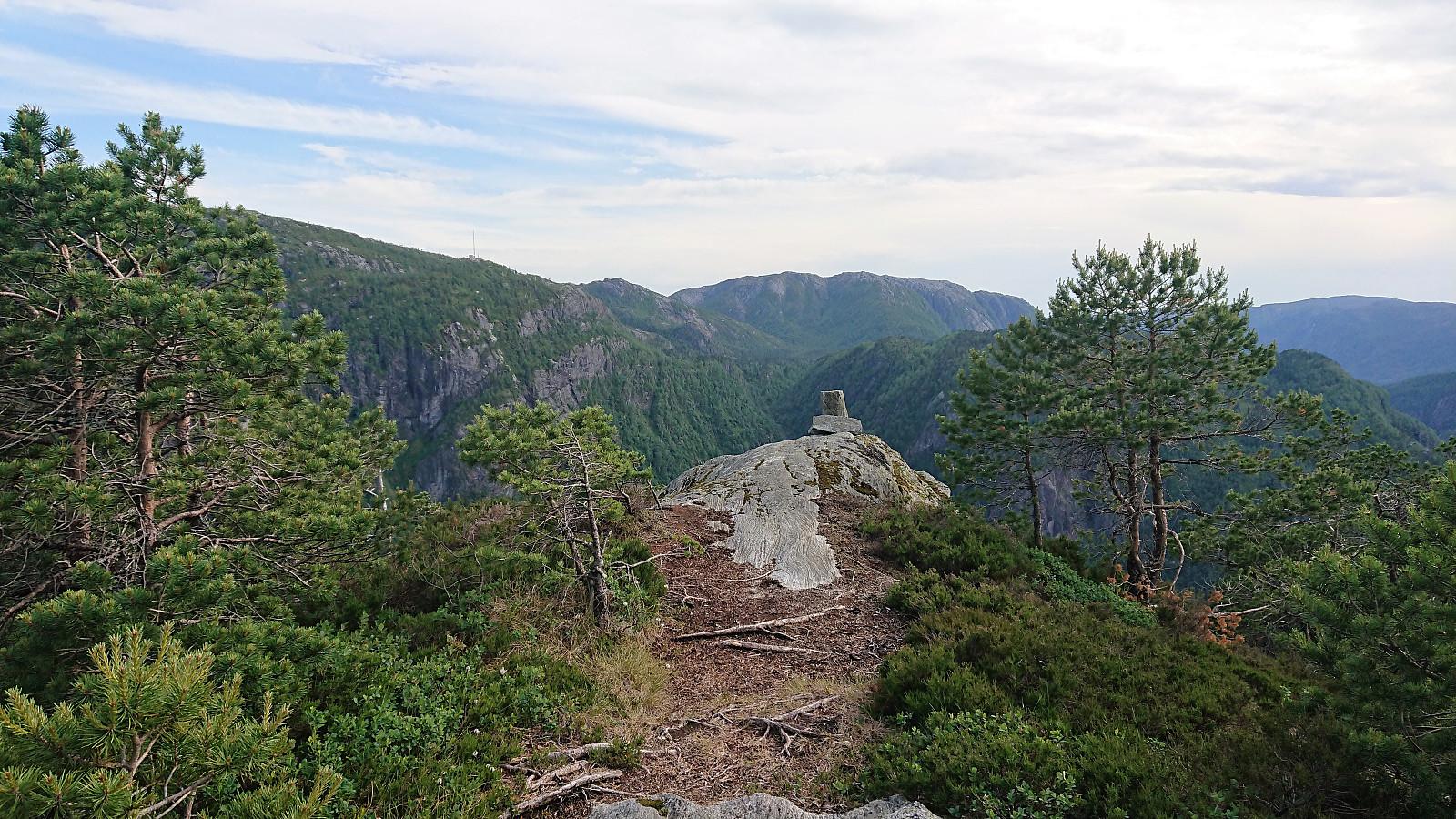
After signing the Knutstignova visitor register I continued towards Høgenipa. The plan was to head straight for the summit, but the terrain was more hilly than expected. Combined with lots of small lakes, this resulted in a less direct route than I had hoped for, but in the end it was straightforward to reach the summit. Note that the highest point is not at the large cairn, but rather around 50 meters further east.
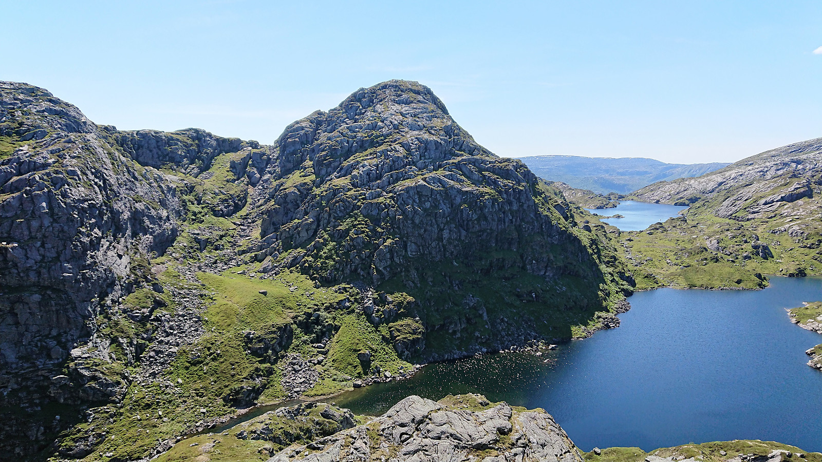
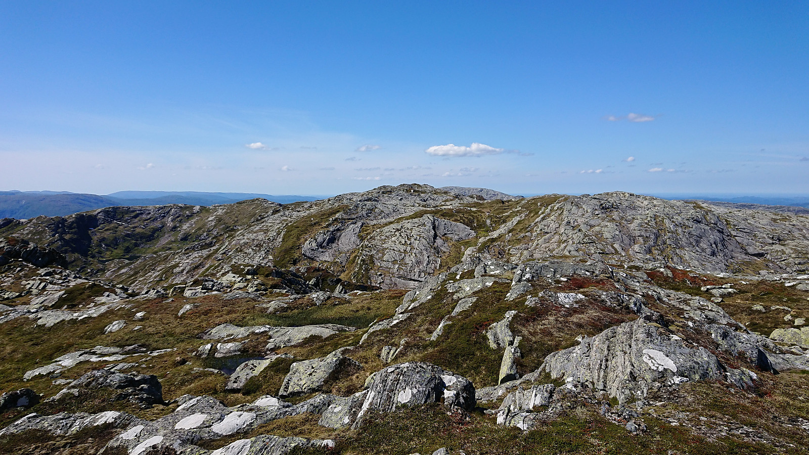
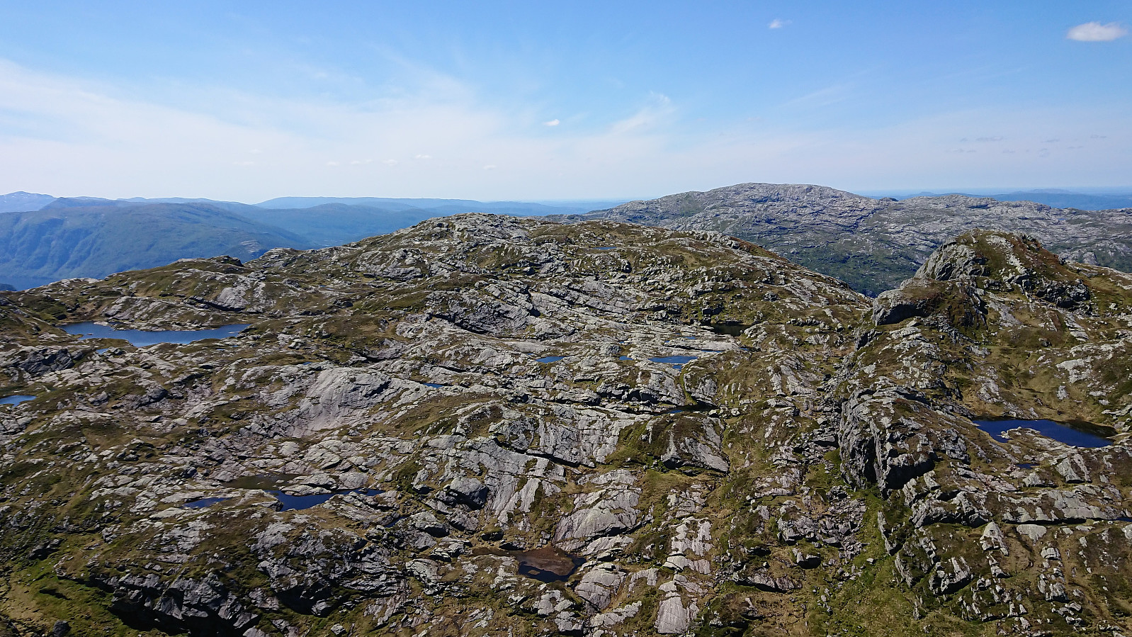
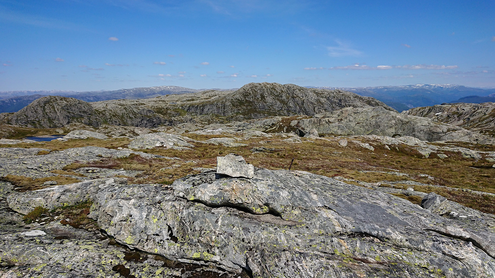
Høgenipa provided very nice views, which I enjoyed during a short lunch break before continuing southwest to Fylenipa. But as the southern side of Høgenipa is very steep, this first involved a small detour to the west. Upon turning south I also ended up with an extra unplanned detour when hitting upon an area that was too steep to hike, and had to backtrack a bit to get back on track. The terrain was also here generally full of small cliffs and lakes, but making progress was overall easy.
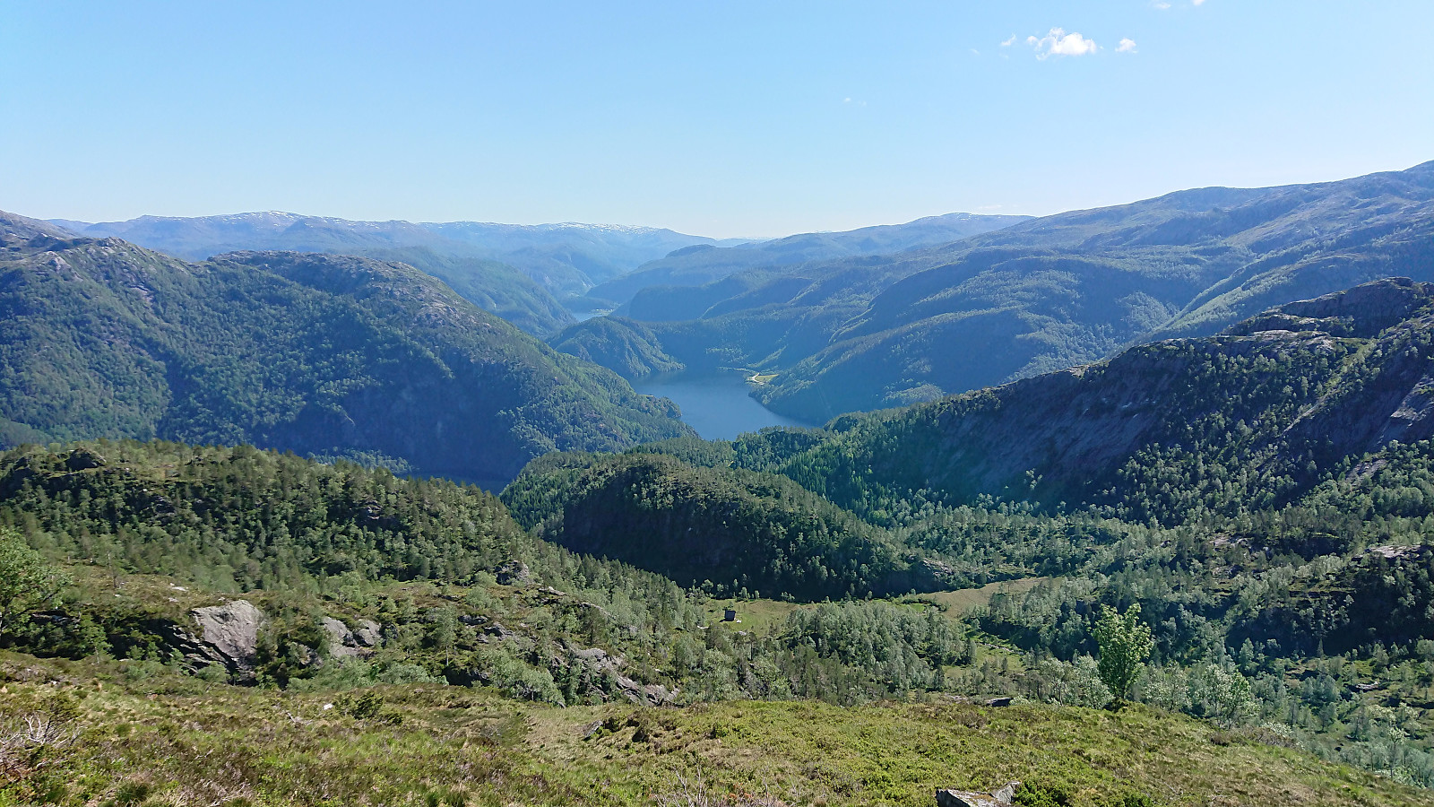
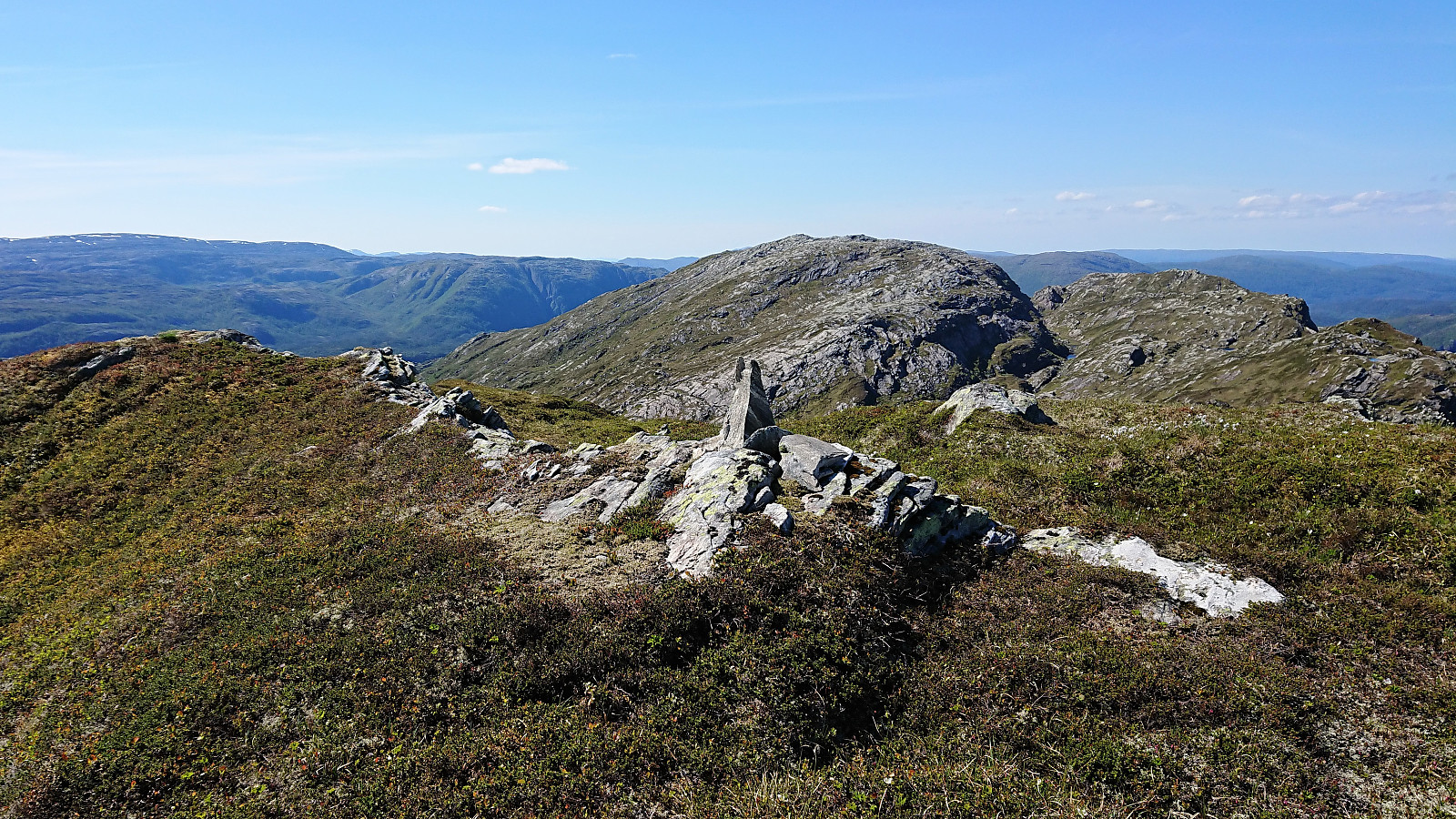
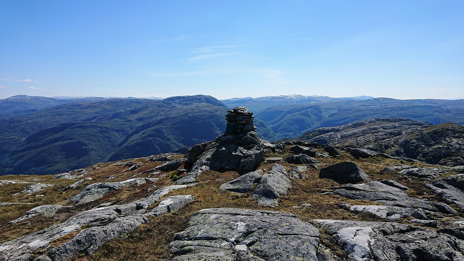
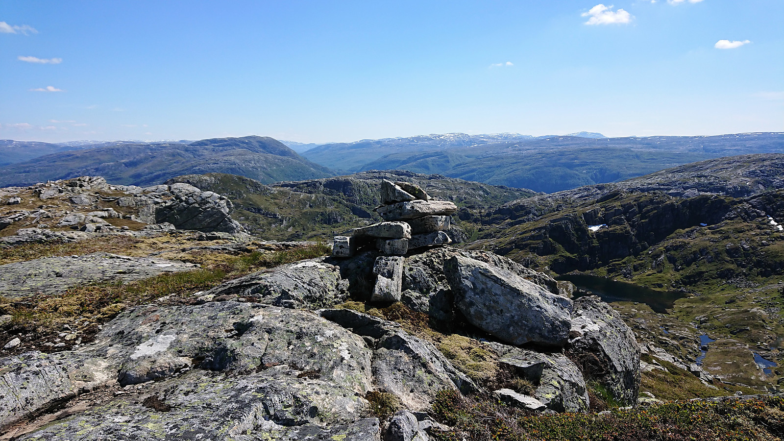
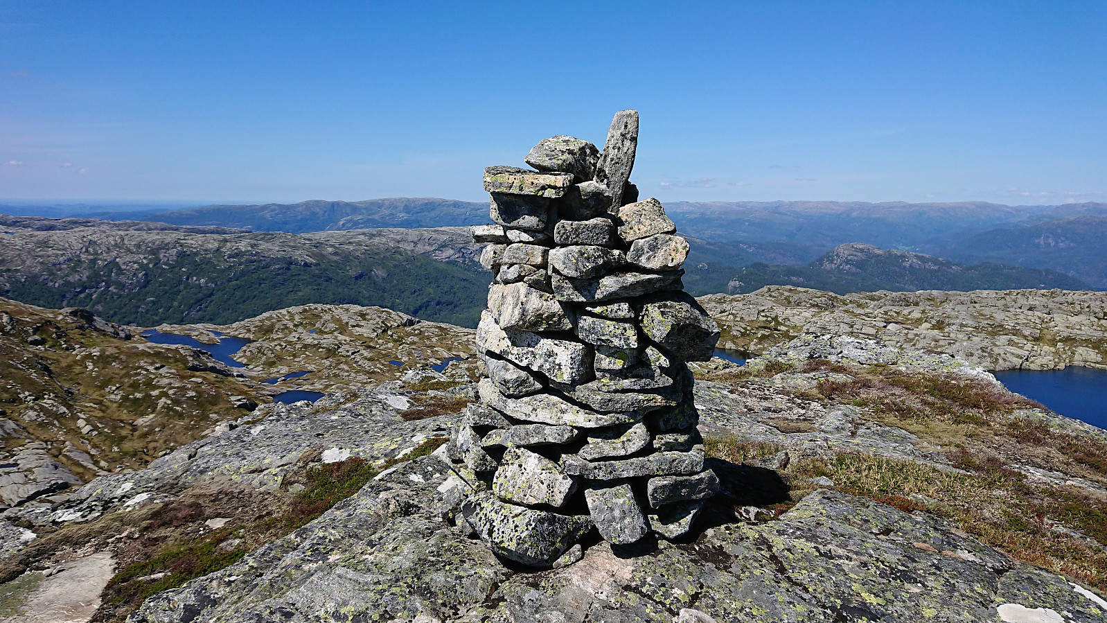
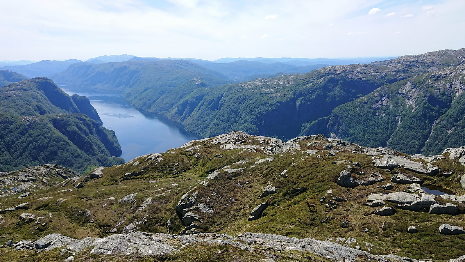
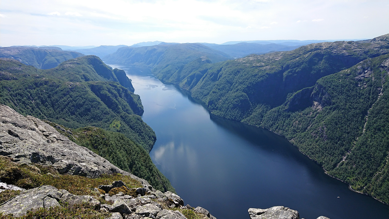
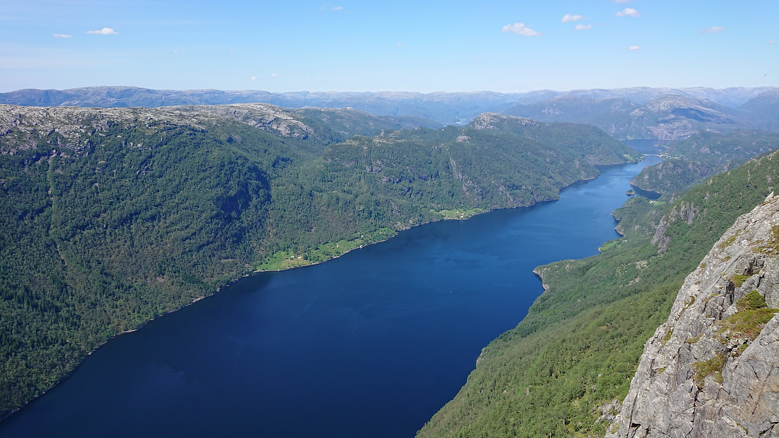
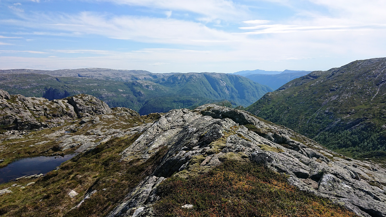
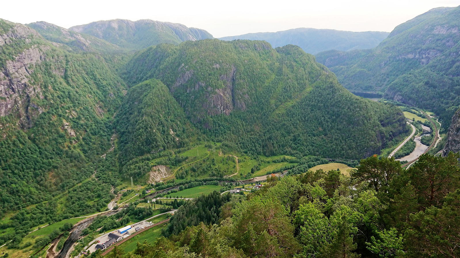
I passed by the summit of Fylenipa and rather headed first to the viewpoint to the southwest where I had read that the views would be spectacular. And I was not disappointed! From the viewpoint there is an almost 800 meters vertical drop down into Veafjorden and an unobstructed view both north toward Stamnes and south in the direction of Stanghelle and Vaksdal. Highly recommended! My experience was further improved by spotting multiple deer just as I was crossing one of the last small hills on the way down from Fylenipa. I even managed to get one of them on camera. After a second lunch break I returned to Fylenipa, this time also passing by the summit. Nice views from the summit as well, but far from the excellent views at the viewpoint.
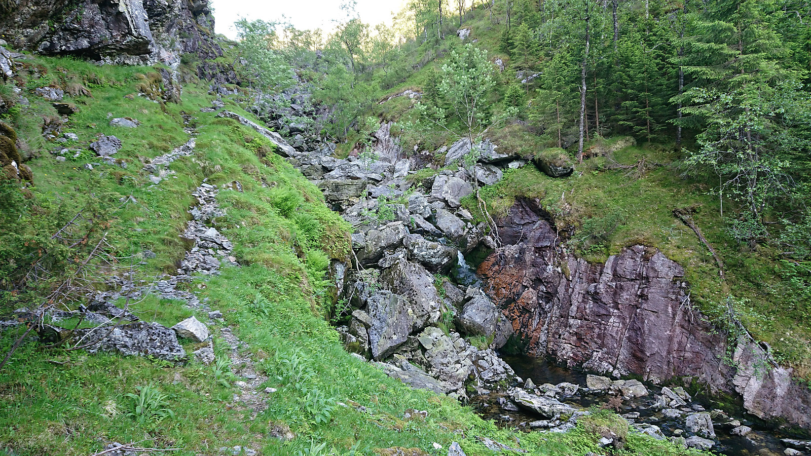
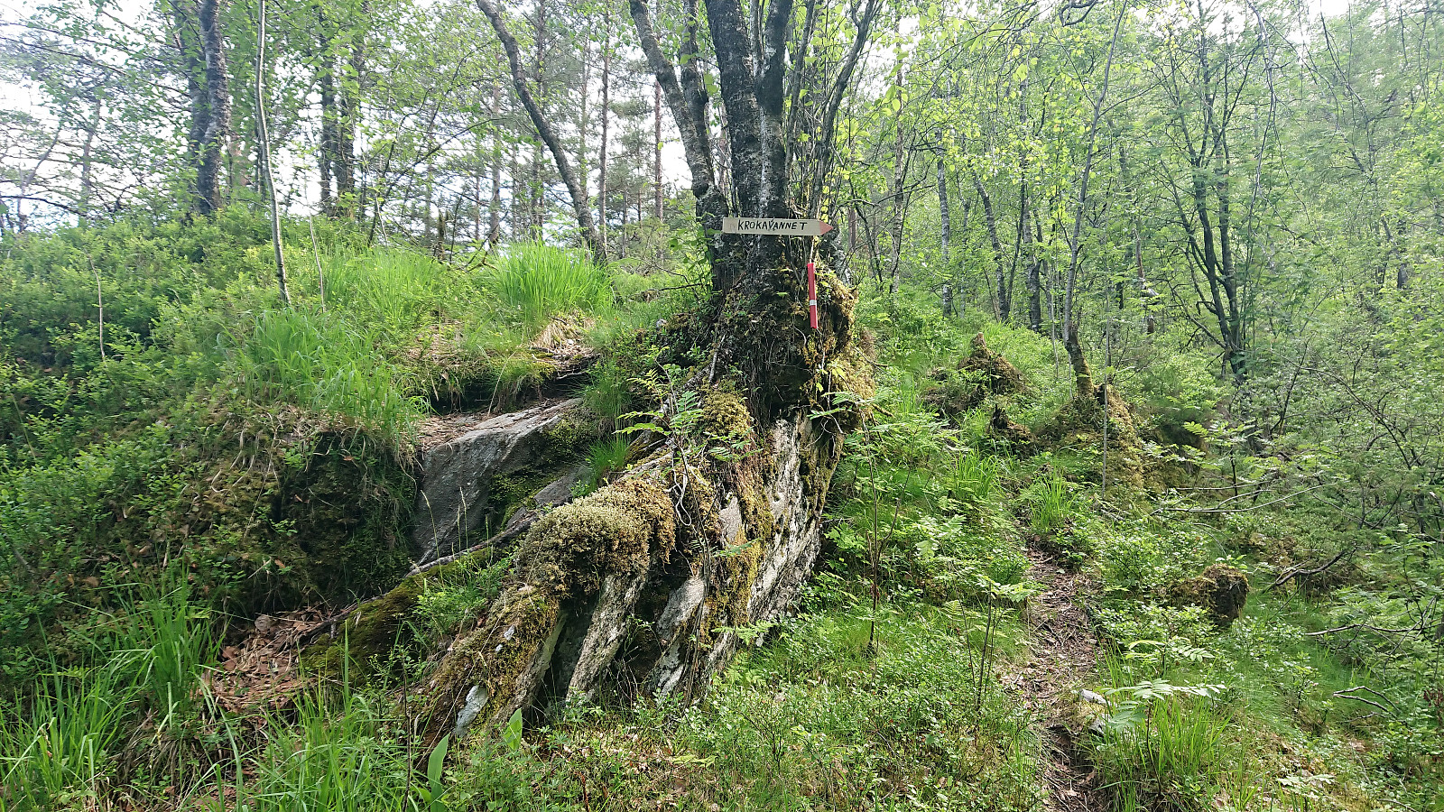
Finding my way back to Krokavatnet was overall straightforward, there was even a weak trail that could be followed at times. The trail on the eastern side of Øvra Krokavatnet was however not as expected. Perhaps I did not find the proper trail, but if I did it was very weak and clearly not very frequently used. There were a couple of wires laid out to simplify the traversing of one of the steep sections though. So maybe the trail was more heavily used in the past.
When I connected with the marked trail south of Harafjellet, I more or less left it again right away, if only to make a quick visit of Harafjellet itself given that I was in the area anyway. After reconnecting with the trail, I followed it almost all the way to the main road at Dale. Here I figured out that I still had time for a quick visit of Beitelen, and even though my legs were definitely not too happy about this choice, I decided to give it a go anyway.
The unmarked trailhead for Beitelen was therefore located and I started up the surprisingly steep trail. There were even a couple of ropes that could be used to ease the ascent, but these were not really needed. After finally reaching the ridge, the progress was easy, and I shortly arrived a the summit. Due to lots of trees the views were perhaps more limited than expected, but there were still nice views to be had down to Dale and Dalegarden.
Now all that was left was to get down to the train station in Dale in time for the train back to Bergen. Thankfully I still had a reasonable amount of time left, and could take the necessary care during the steep descent, making it to the station with 10-15 minutes to spare.
In summary, an excellent hike that can be highly recommended. Note that only about half the hike is on trails though, and there are clearly a couple of steep areas that have to be avoided. The highlight of the hike was the view from the Fylenipa viewpoint. Worth a hike on its own!

| Startzeitpunkt | 15.06.2019 09:37 (UTC+01:00 SZ) |
| Endzeitpunkt | 15.06.2019 18:59 (UTC+01:00 SZ) |
| Gesamtzeit | 9h 21min |
| Zeit in Bewegung | 7h 57min |
| Pausenzeit | 1h 23min |
| Gesamtschnitt | 2,4km/h |
| Bewegungsschnitt | 2,8km/h |
| Entfernung | 22,0km |
| Höhenmeter | 1.992m |

Benutzerkommentare