Flatafjellet (from Fossmark to Dale) (31.05.2019)

| Startpunkt | Fossmark (35m) |
|---|---|
| Endpunkt | Dale (43m) |
| Tourcharakter | Bergtour |
| Tourlänge | 5h 43min |
| Entfernung | 15,6km |
| Höhenmeter | 1.131m |
| GPS |
|
| Besteigungen | Flatafjellet (784m) | 31.05.2019 |
|---|---|---|
| Flatavasshaugen (782m) | 31.05.2019 | |
| Besuche anderer PBE | Dale stasjon (45m) | 31.05.2019 |
| Dalestølen (667m) | 31.05.2019 | |
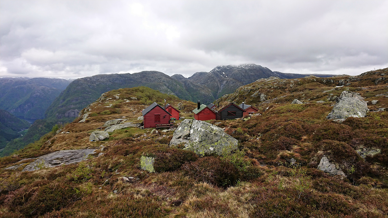
| Fossmarksætra (604m) | 31.05.2019 | |
| Gamlevarden (668m) | 31.05.2019 | |
| Vatnastølen (514m) | 31.05.2019 |
Flatafjellet (from Fossmark to Dale)
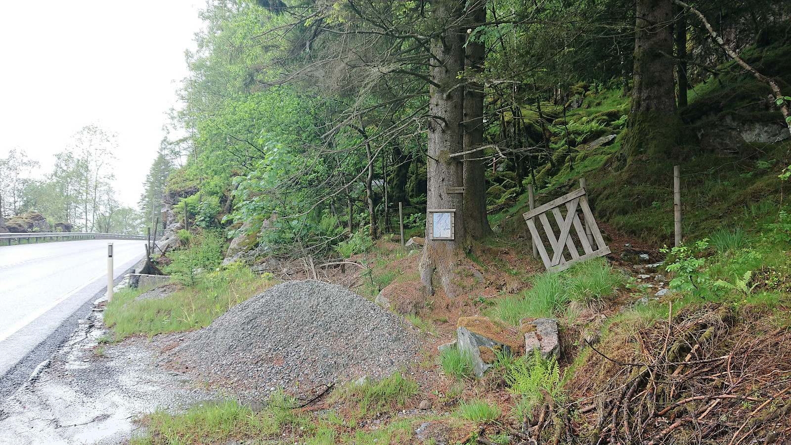
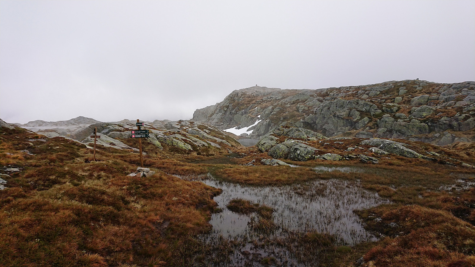
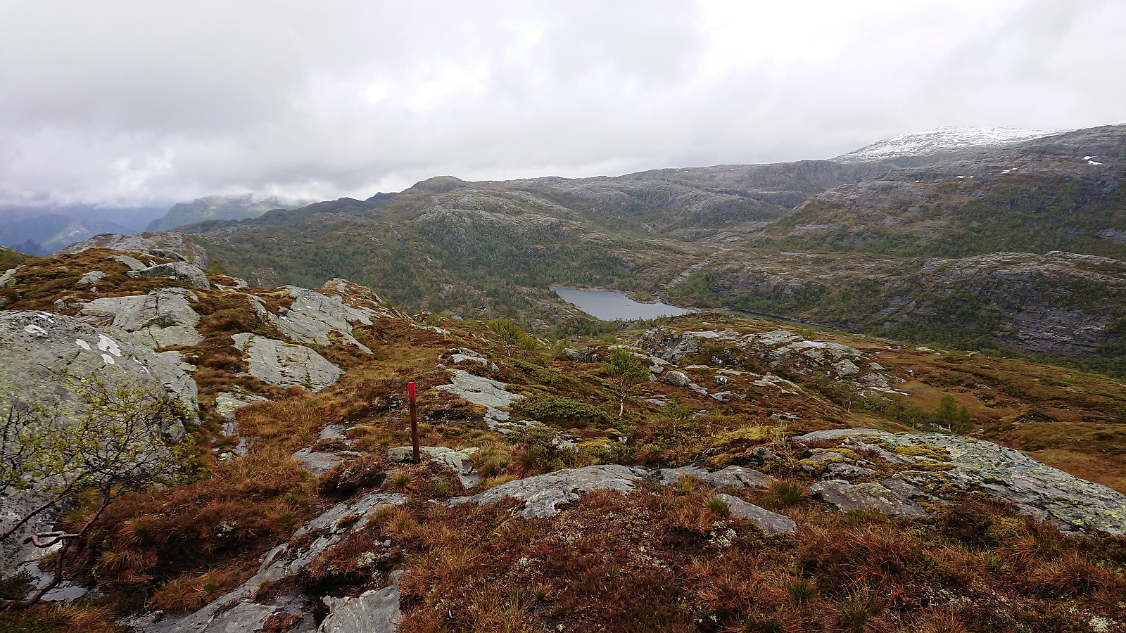
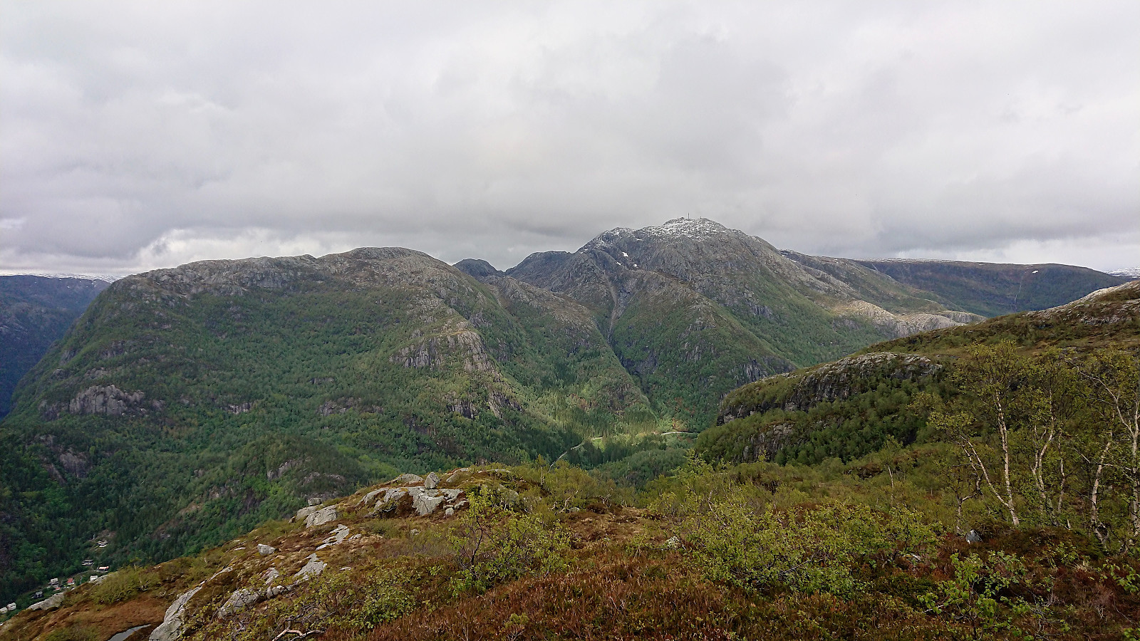
I started by taking the bus to Fossmark, and after putting on my full raingear at the bus stop, continued another 100 meters or so along the main road to the marked trailhead. The trail was overall easy to follow as it climbed steeply up the mountainside, although very slippery due to all the rain, and within not too long I arrived at Fossmarksætra. The visibility was not the best, so I was happy to follow the fairly new trail markers onwards to Flatavasshaugen. I did lose the trail just as I was passing north of Kraksåvatnet though, but it was easily relocated.
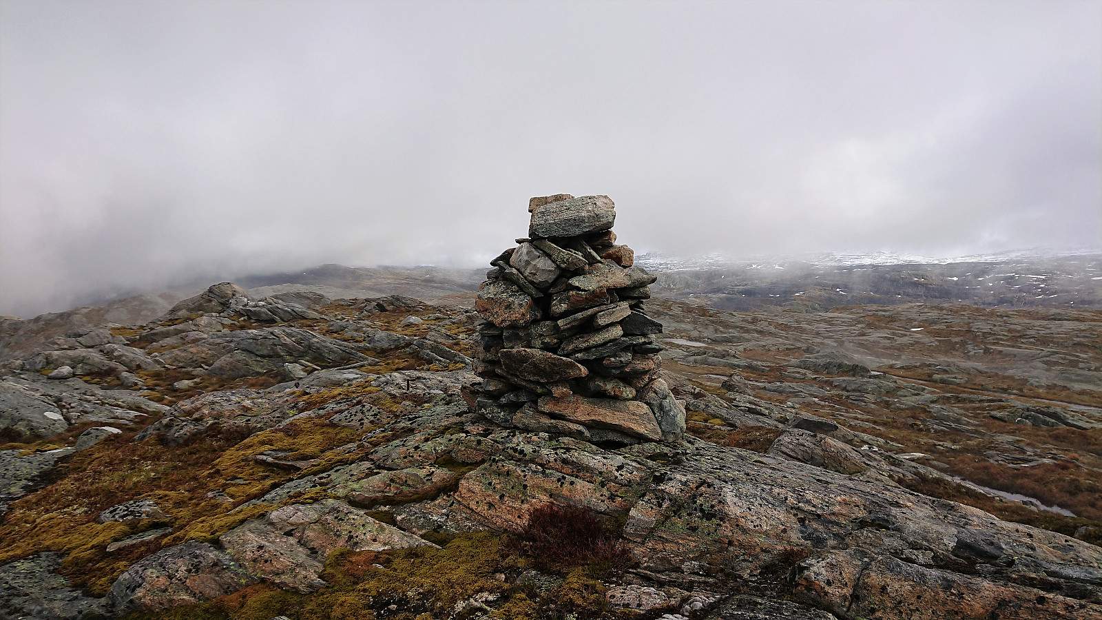
Due to the fog, I first followed the trail to Flatavasshaugen, before (re-)turning southeast for a quick visit to the slightly higher summit of Flatafjellet. No trails in this direction that I could see, and while Flatafjellet was not as flat as its name would indicate, it was still straightforward to reach the summit. Very limited views from both summits today.
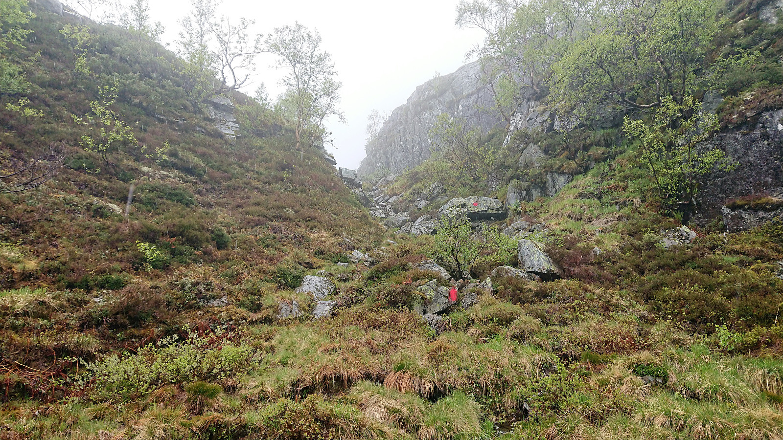
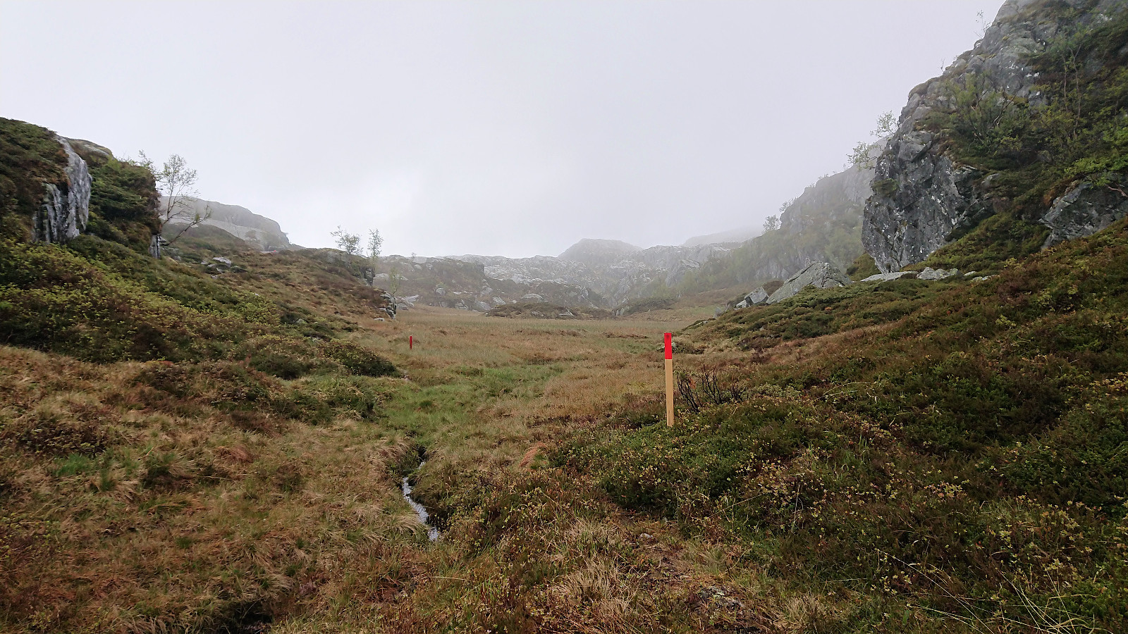
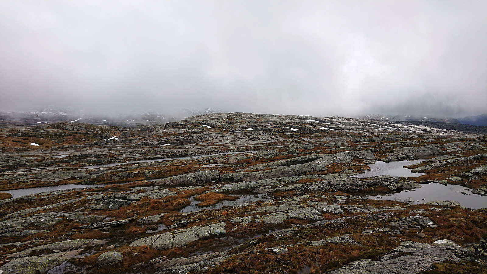
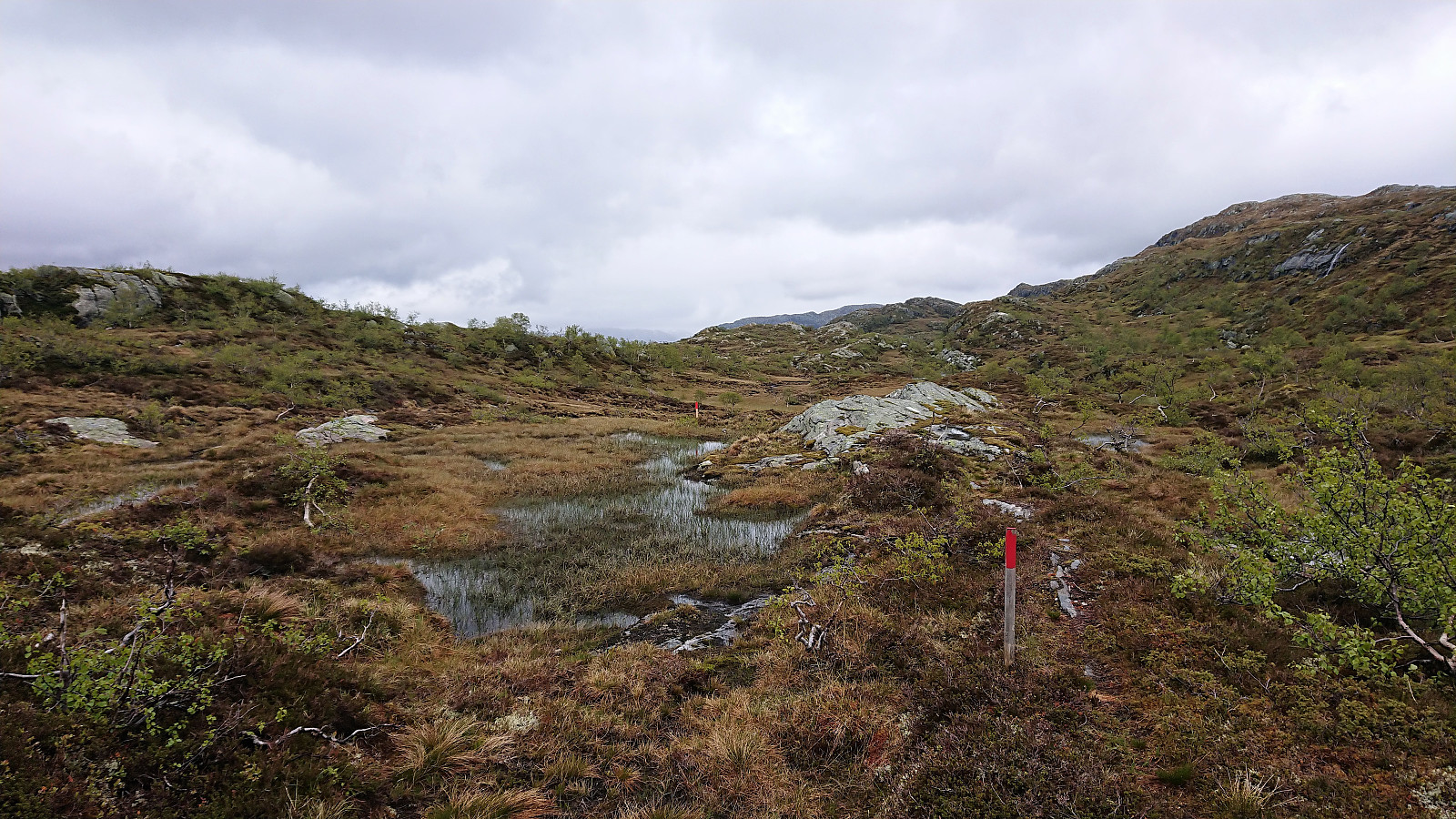
Did not stay long before making my own shortcut back to the trail down to Vatnastølen. The trail was still very-well marked, now as before consisting of small wooden sticks with red paint, which came in very handy, as the trail itself was often much less visible, or not visible at all, when crossing the many wet areas.
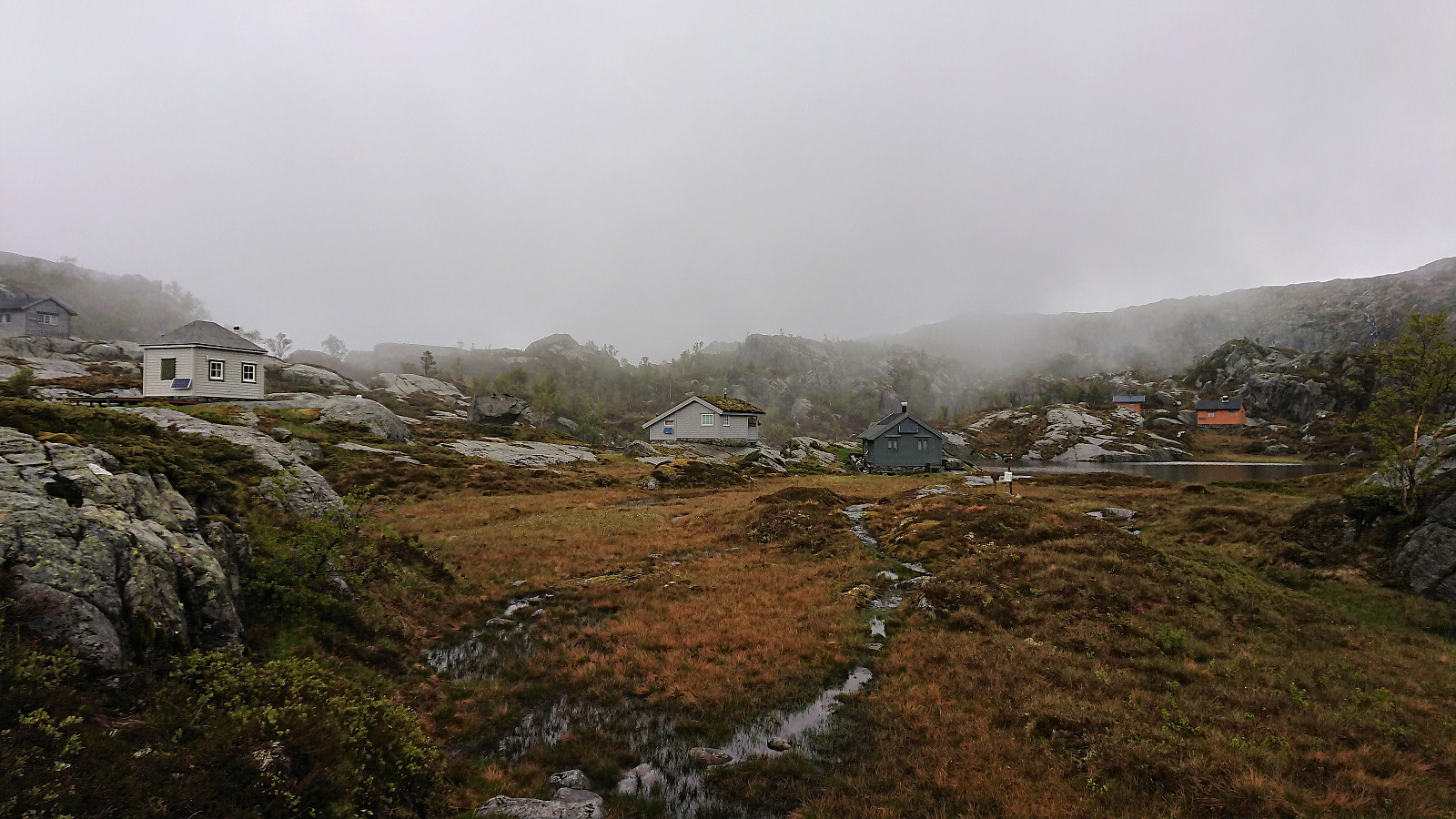
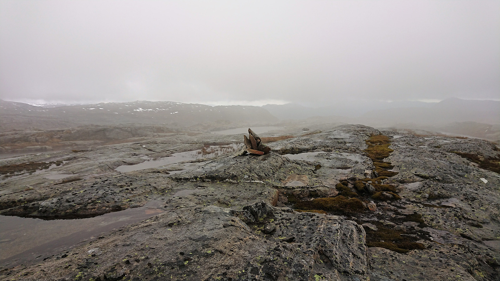
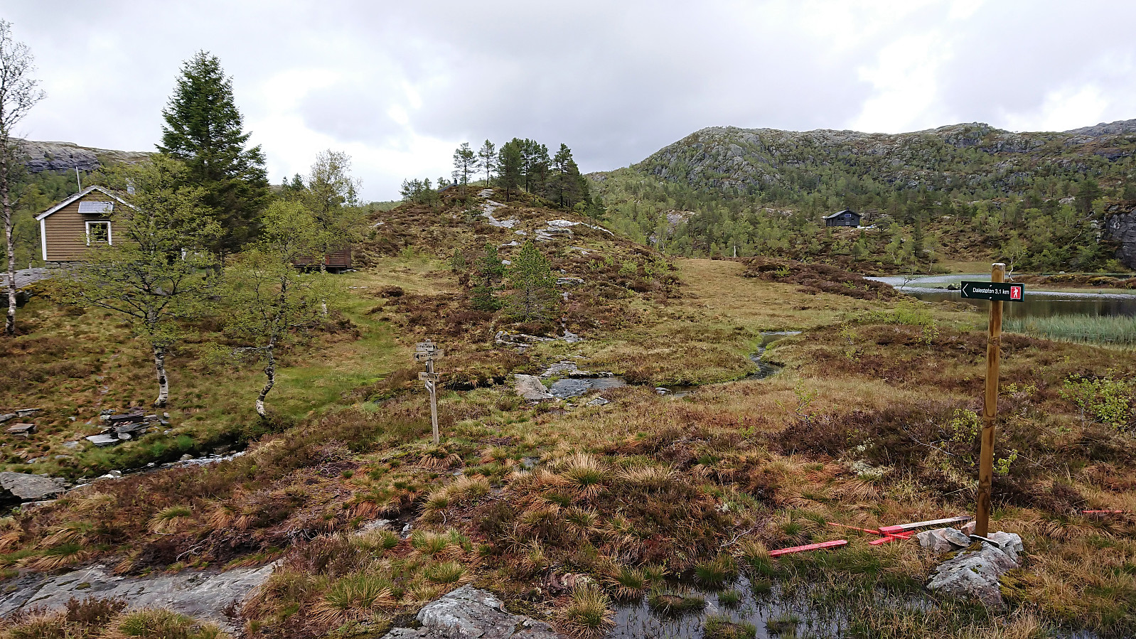
Upon reaching Vatnastølen, I followed the sign for Dalestølen, still on a newly marked trail. I considered also including a visit to Stangfjellet, which would probably not have made the hike much longer, but in the end decided to stay on the marked trail. Getting to Dalestølen required an ascent of about 150 meters, but stretched across several kilometers.
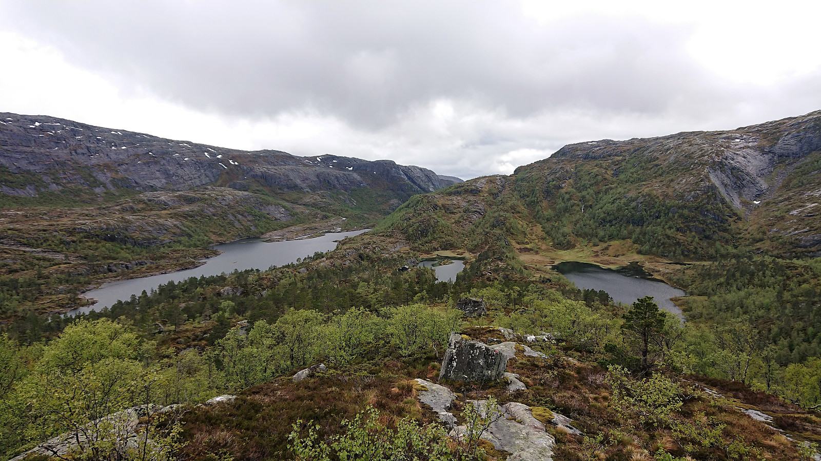
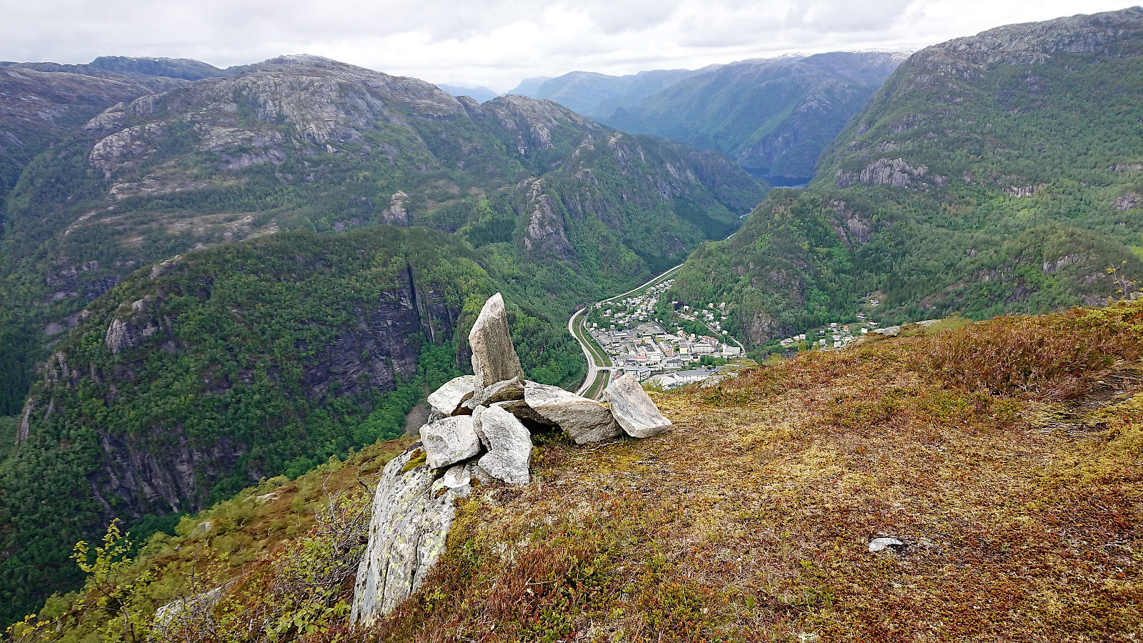
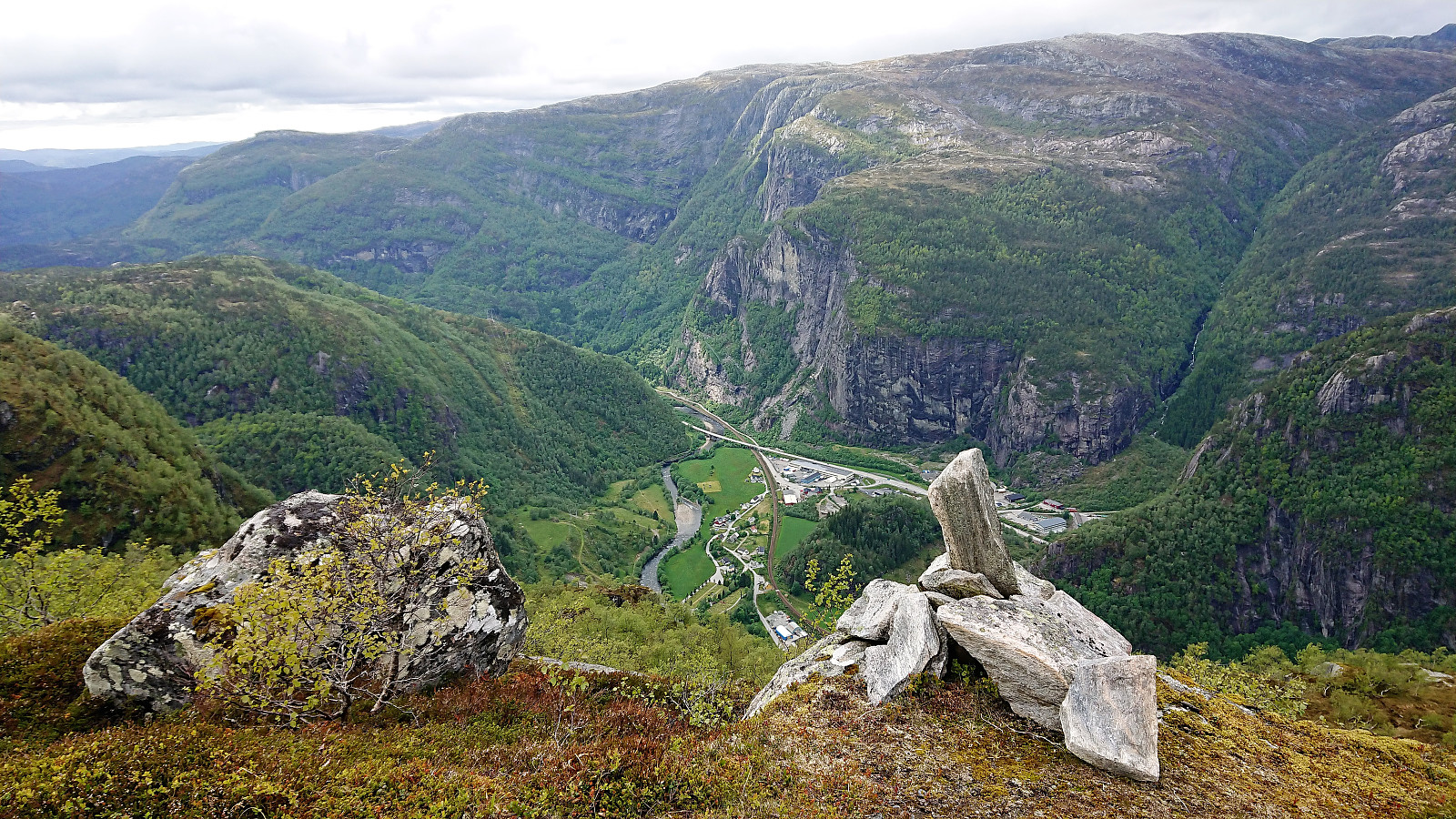
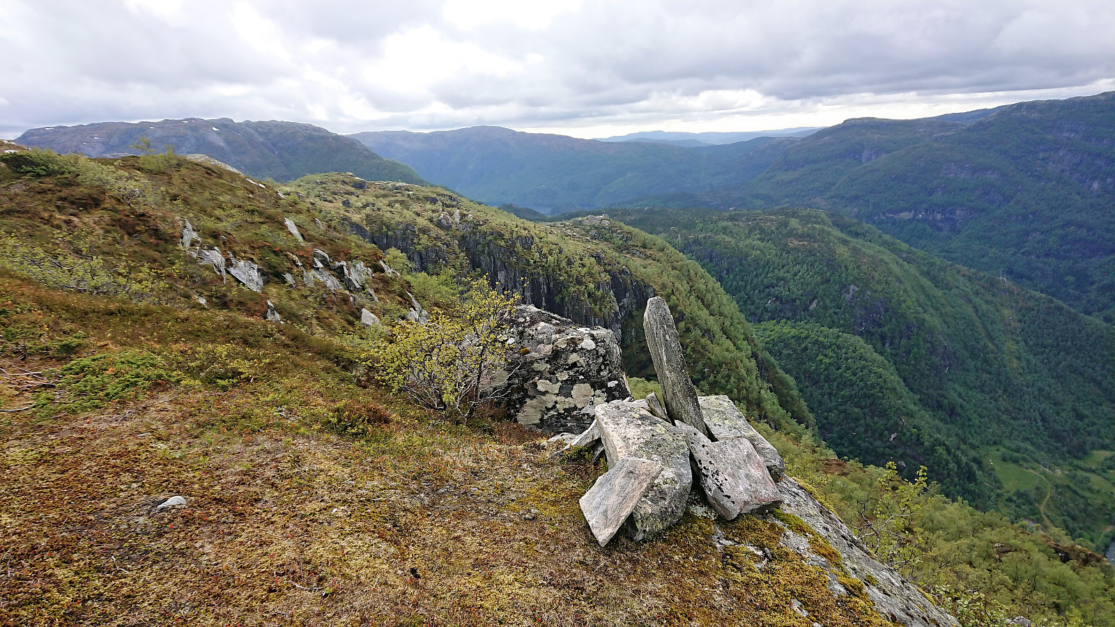
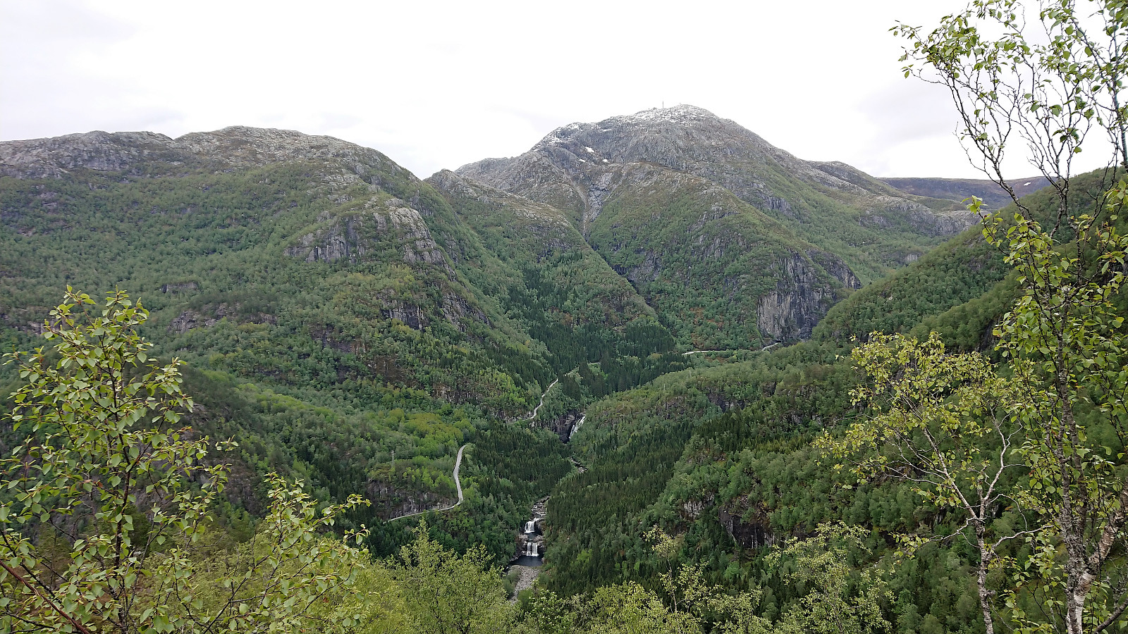
Dalestølen provided very nice views, helped by the fact that the weather had improved on the way, but even better views were obtained at the cairn called Gamlevarden on the small hill just to the north. I made my own shortcut to Gamlevarden, but I noticed that there was a trail on the ridge that perhaps could have been followed all the way from Dalestølen.
After reconnecting with the main trail, all that was left was to follow it down to Dale for the train back to Bergen. This would however take longer than expected as the trail was very steep, feeling even steeper on a day when everything was slippery. But I did finally make it down to the gravel road at the end of Øvre Eikhaugen, and from there it was straightforward to get to the train station, which I reached with 10-15 minutes to spare.
Overall, a very enjoyable hike that can be highly recommended. Keep in mind that both the ascent to Fossmarksætra and the descent from Dalestølen are pretty steep though and will be slippery in wet conditions, and especially the very steep descent down to Dale should be factored in if having a train to catch. Note also that significant parts of this hike will be across wet areas, so do not expect your boots to stay dry for very long. Finally, a big thank you to those taking the time to refresh the trail markers! Very much appreciated and made for a much more enjoyable hike!
| Startzeitpunkt | 31.05.2019 12:21 (UTC+01:00 SZ) |
| Endzeitpunkt | 31.05.2019 18:04 (UTC+01:00 SZ) |
| Gesamtzeit | 5h 43min |
| Zeit in Bewegung | 5h 09min |
| Pausenzeit | 0h 34min |
| Gesamtschnitt | 2,7km/h |
| Bewegungsschnitt | 3,0km/h |
| Entfernung | 15,6km |
| Höhenmeter | 1.131m |

Benutzerkommentare