Gråfjellet roundtrip (up via Bogadalen, down via Herfindal) (26.05.2019)

| Start point | Boge (23m) |
|---|---|
| Endpoint | Vaksdal (17m) |
| Characteristic | Hillwalk |
| Duration | 9h 13min |
| Distance | 27.6km |
| Vertical meters | 1,542m |
| GPS |
|
| Ascents | Herfindalsfjellet (801m) | 26.05.2019 |
|---|---|---|
| Gråfjellet (977m) | 26.05.2019 | |
| Storafjellet (951m) | 26.05.2019 | |
| Visits of other PBEs | Herfindal p-plass (356m) | 26.05.2019 |
| Vaksdal stasjon (17m) | 26.05.2019 |
Gråfjellet roundtrip (up via Bogadalen, down via Herfindal)
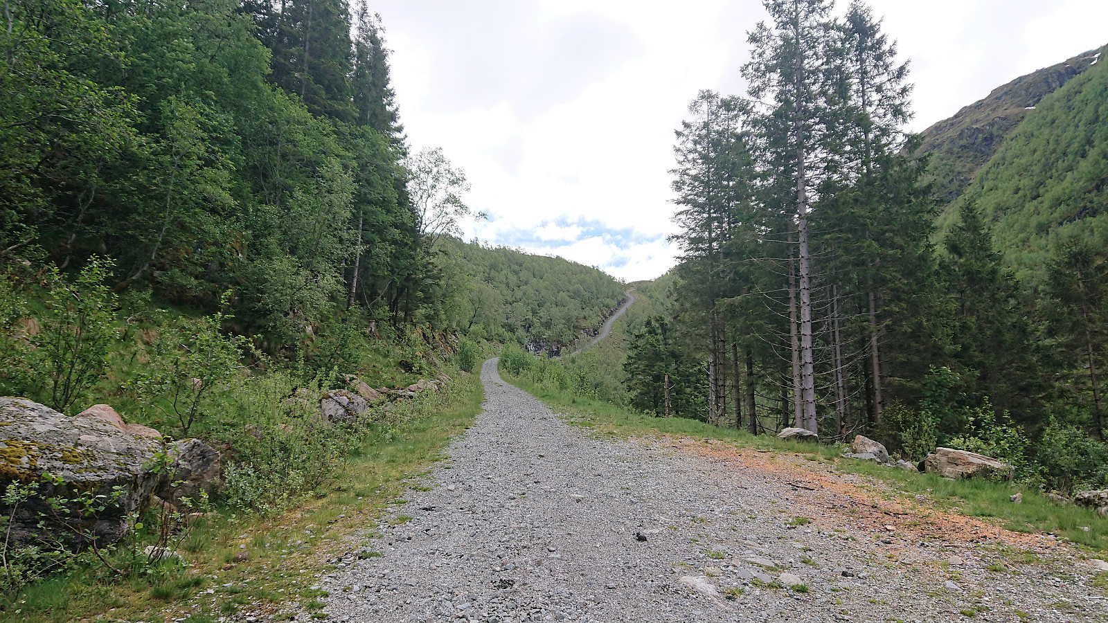
We started by taking the bus to Boge and following the steep gravel road up to Bogavatnet. From there we continued north along a trail passing by many of the very nice cabins at Bogastølen. But somewhere during our ascent to Stabben we lost the trail (or it disappeared?), and while we would still come across several small cairns, the rest of our hike to Gråfjellet was overall without any trails to follow.
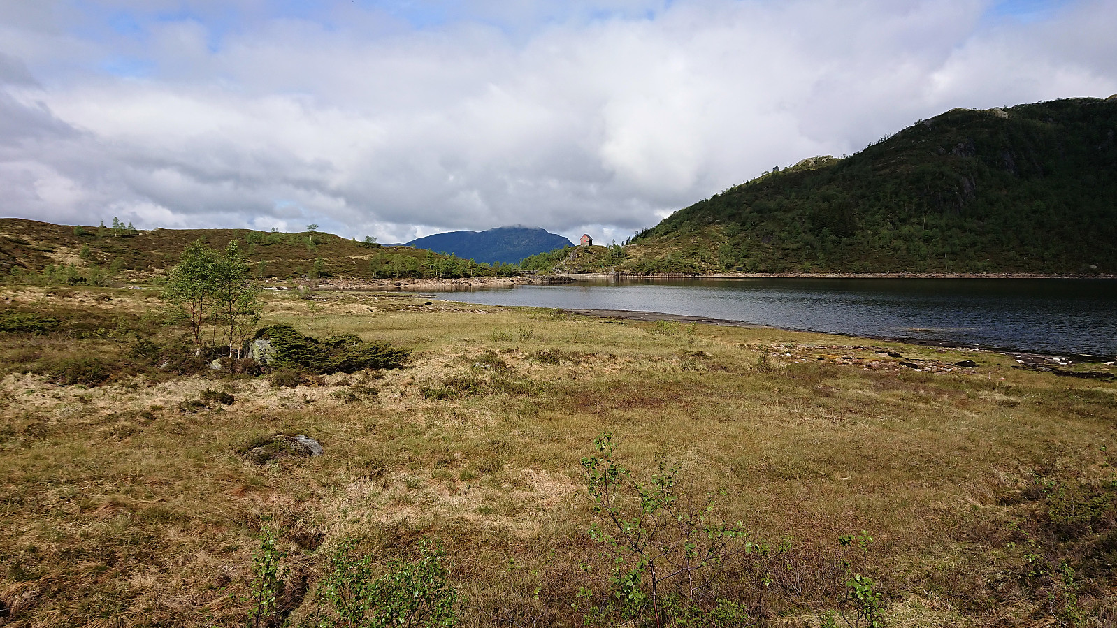
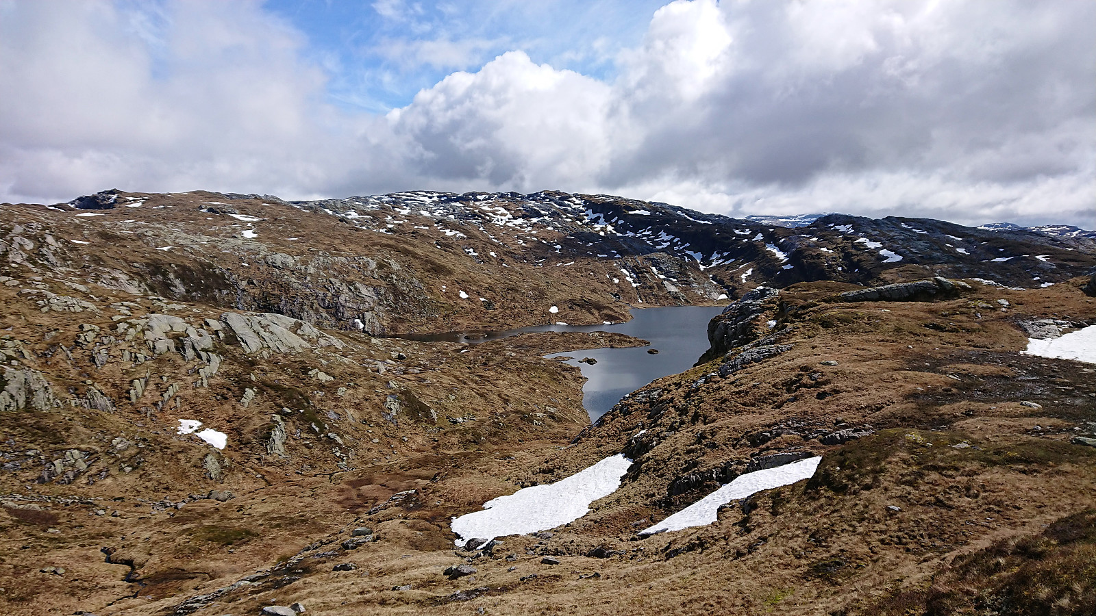
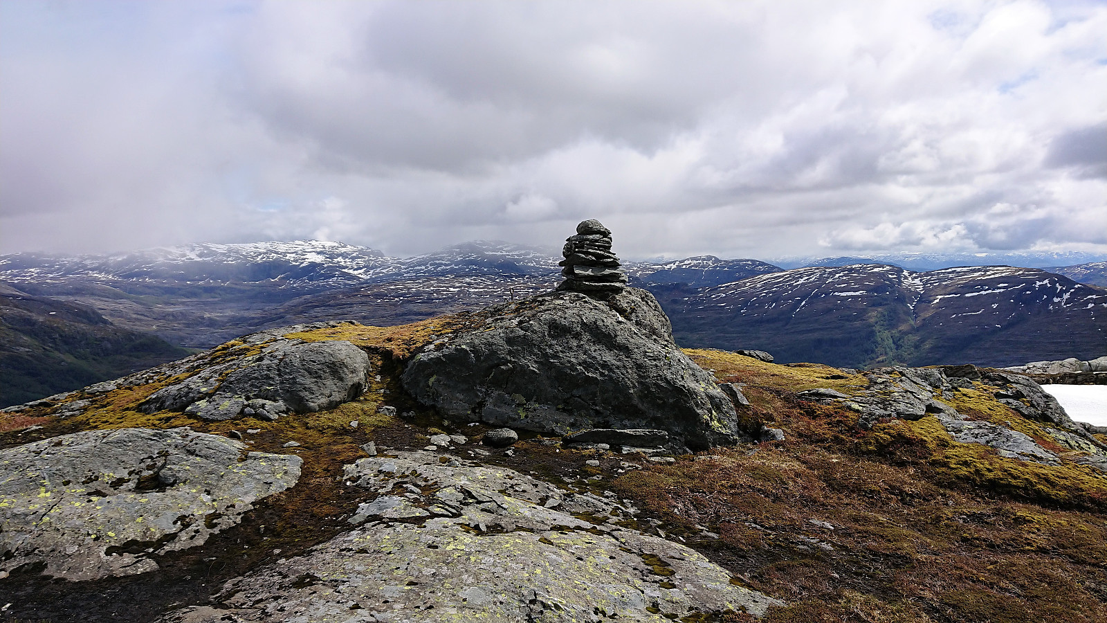
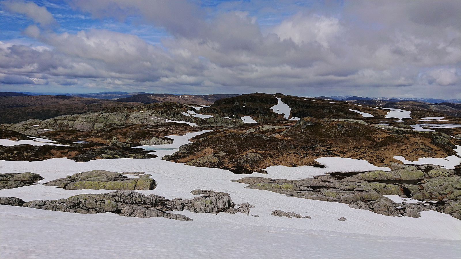
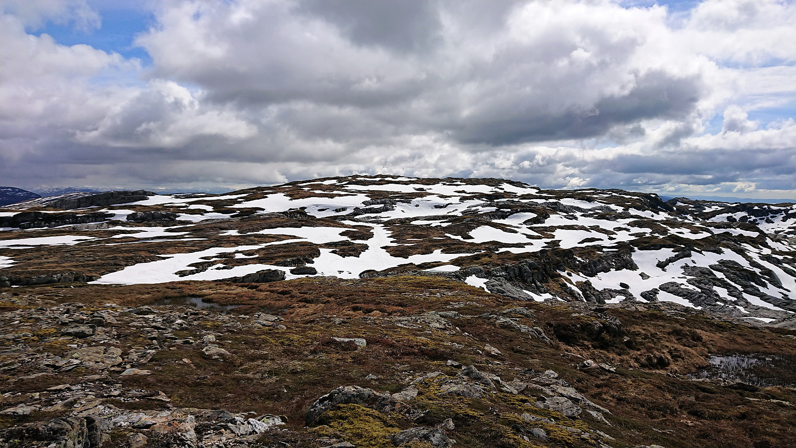
After walking around Rossatjørna on the northern side, the initial progress from Krossatjørna towards the summit was straightforward. But as we got closer, the terrain turned more challenging and now mainly consisted of numerous small lakes and steep (although not very high) cliffs that had to be traversed. The nature of the terrain also made it difficult to see the best route from a distance. The last 2 km therefore took longer than expected, but in the end we managed to find a route that could be followed without any real issues.
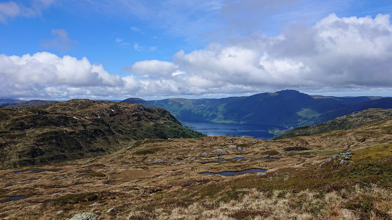
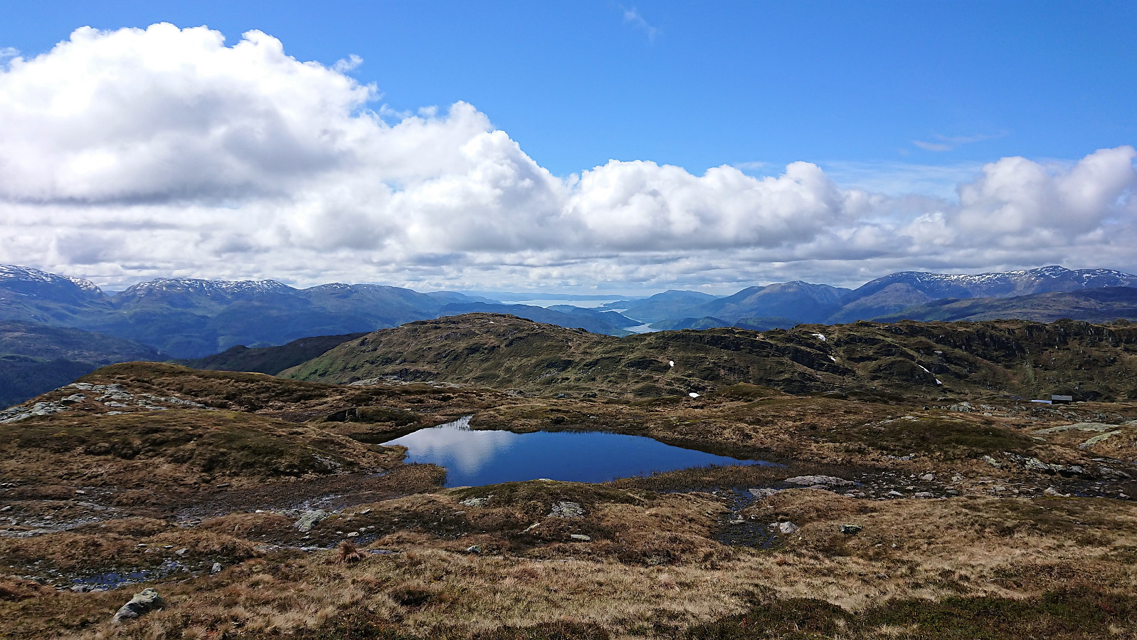
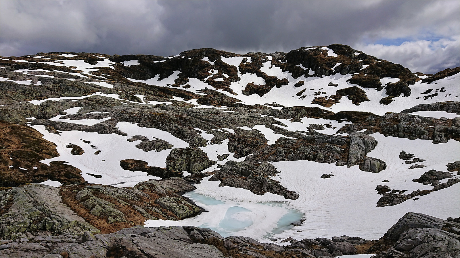
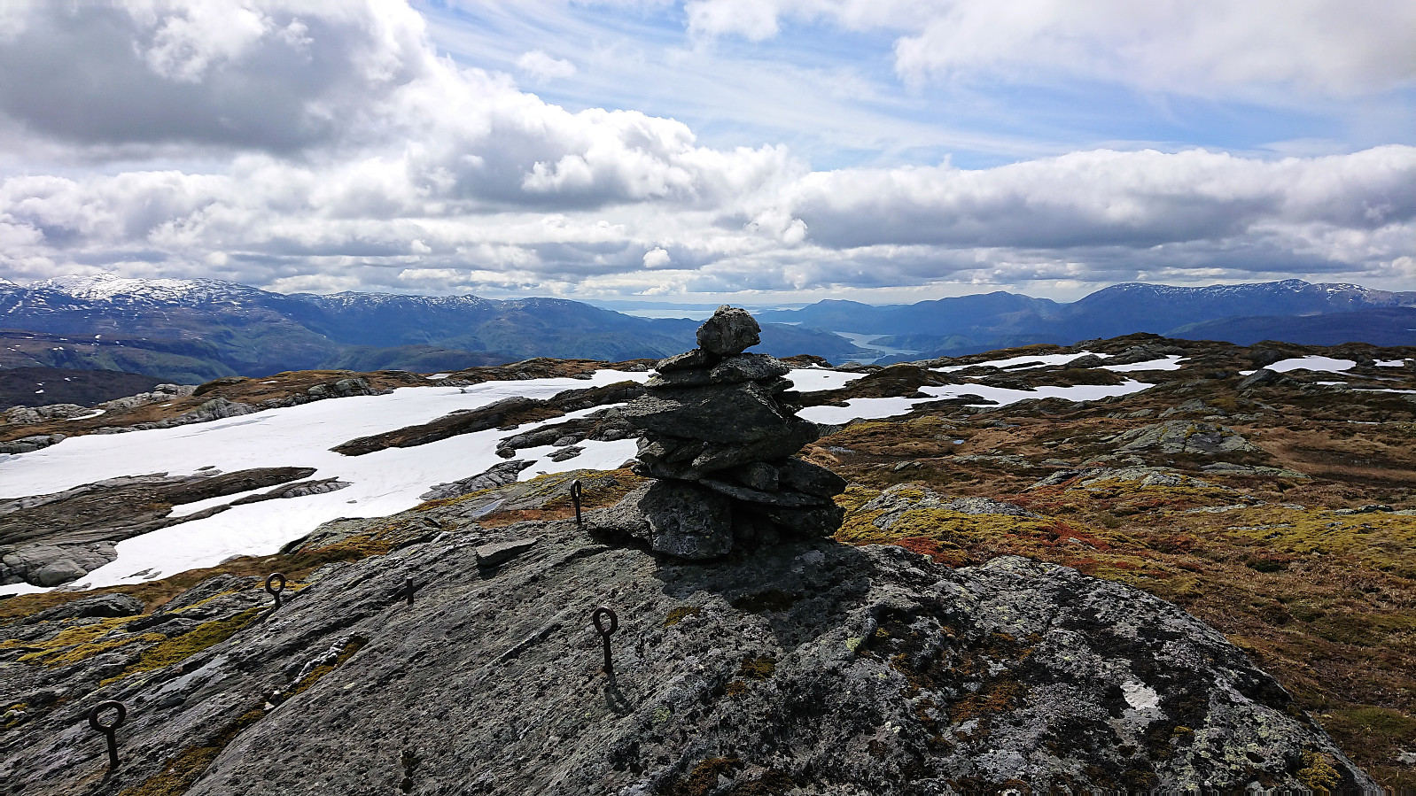
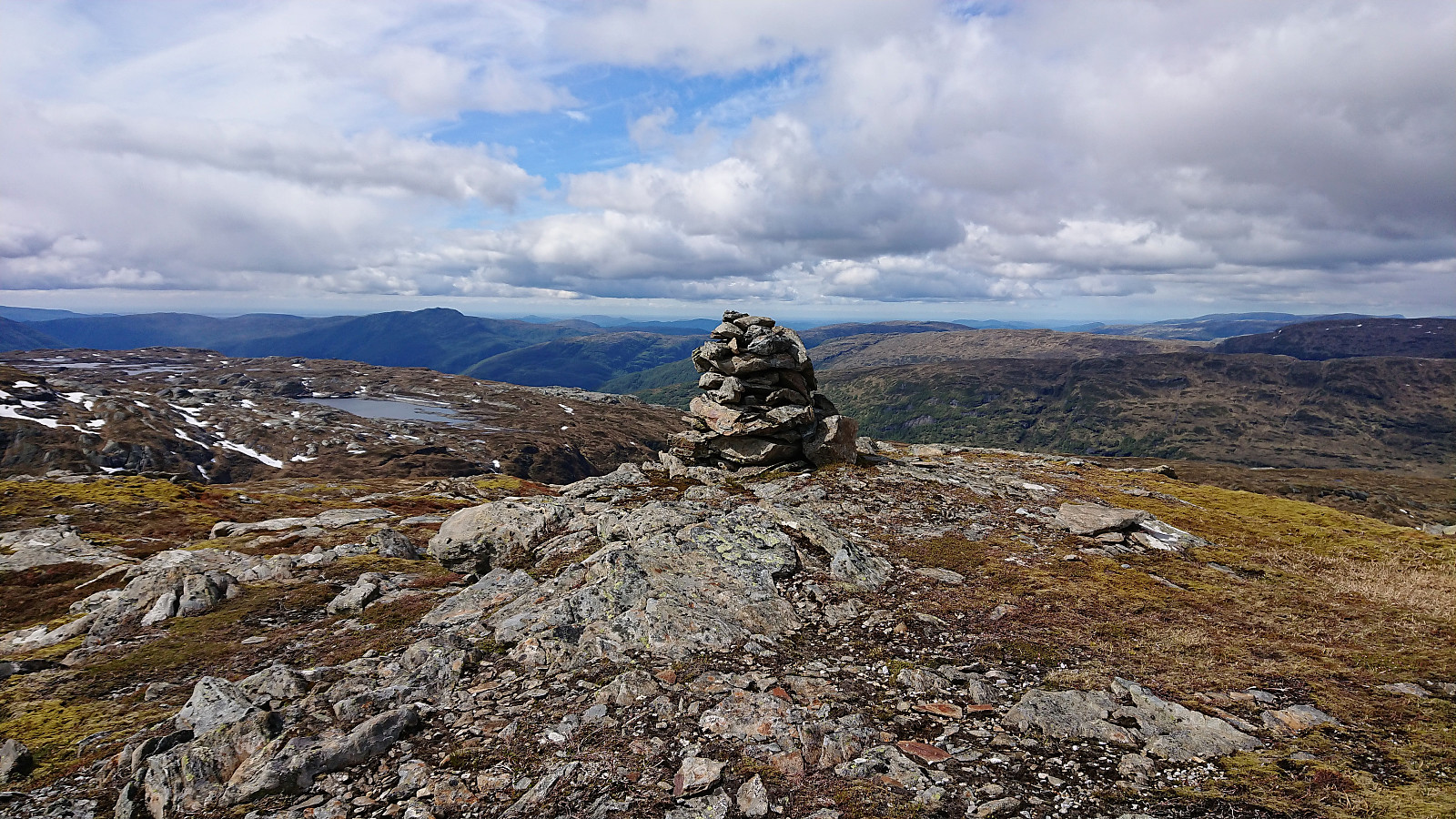
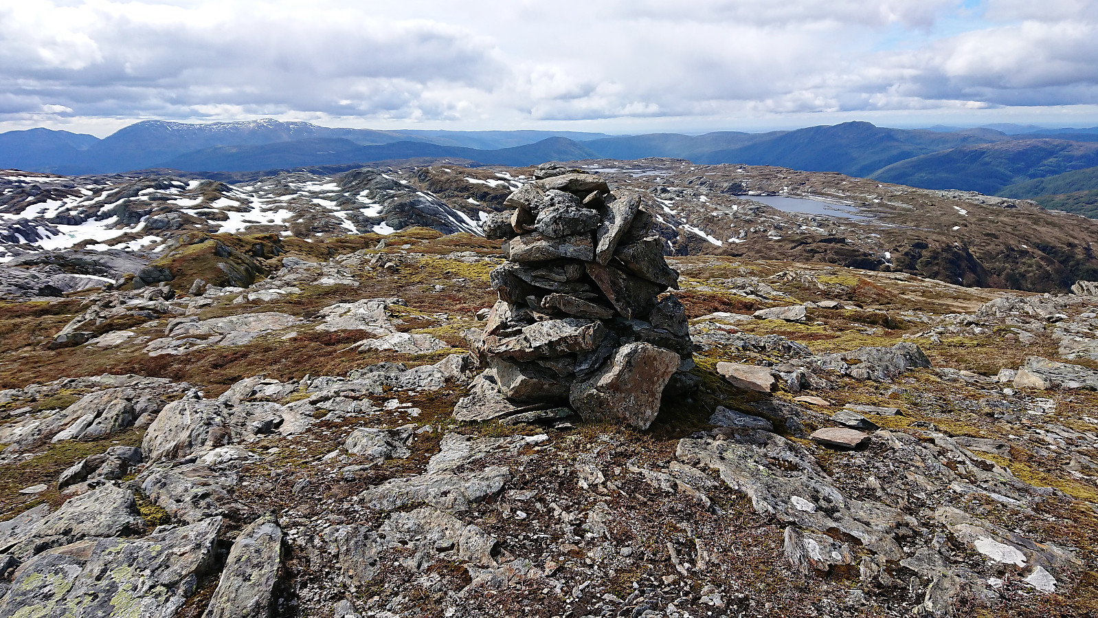
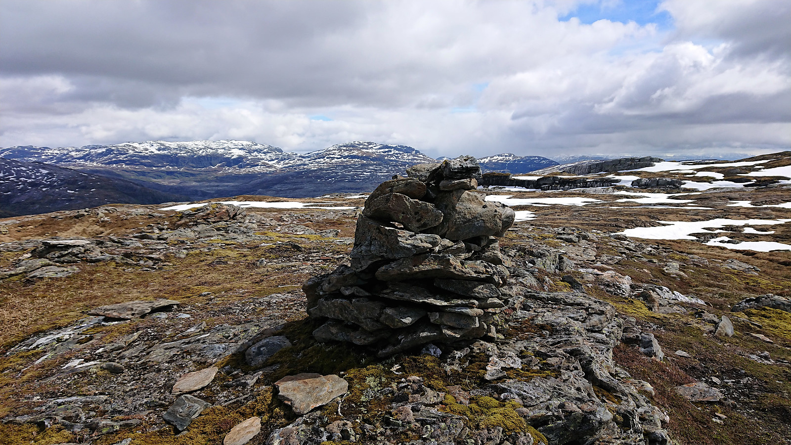
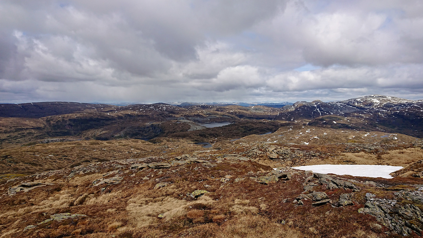
The summit provided excellent views in all directions, but especially towards the south and east. After a quick lunch we continued north towards Storafjellet, overall without any difficulties, although there was one steep snow-covered area that had to be traversed with a bit of care. Storafjellet also provided nice views, but not at the same level as Gråfjellet.
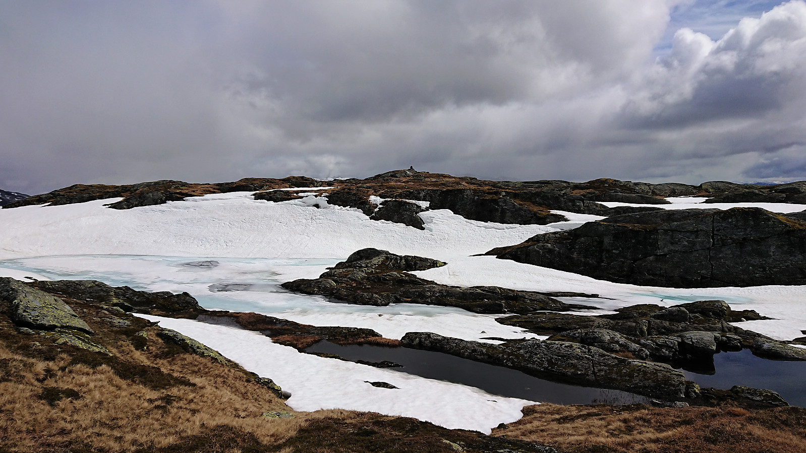
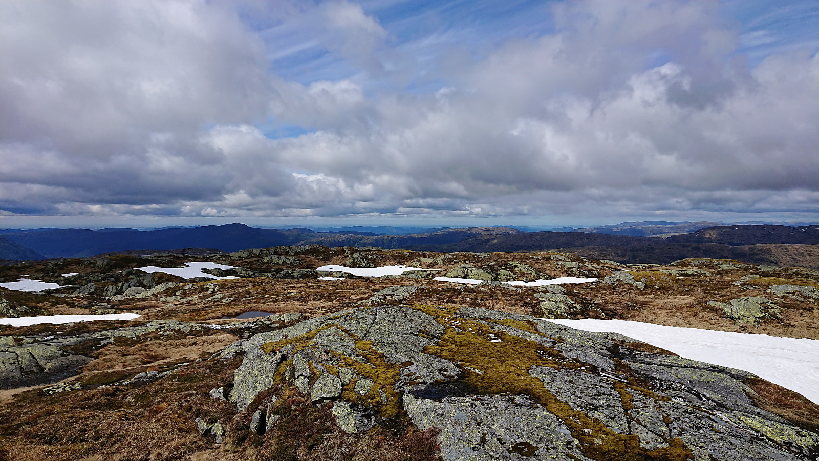
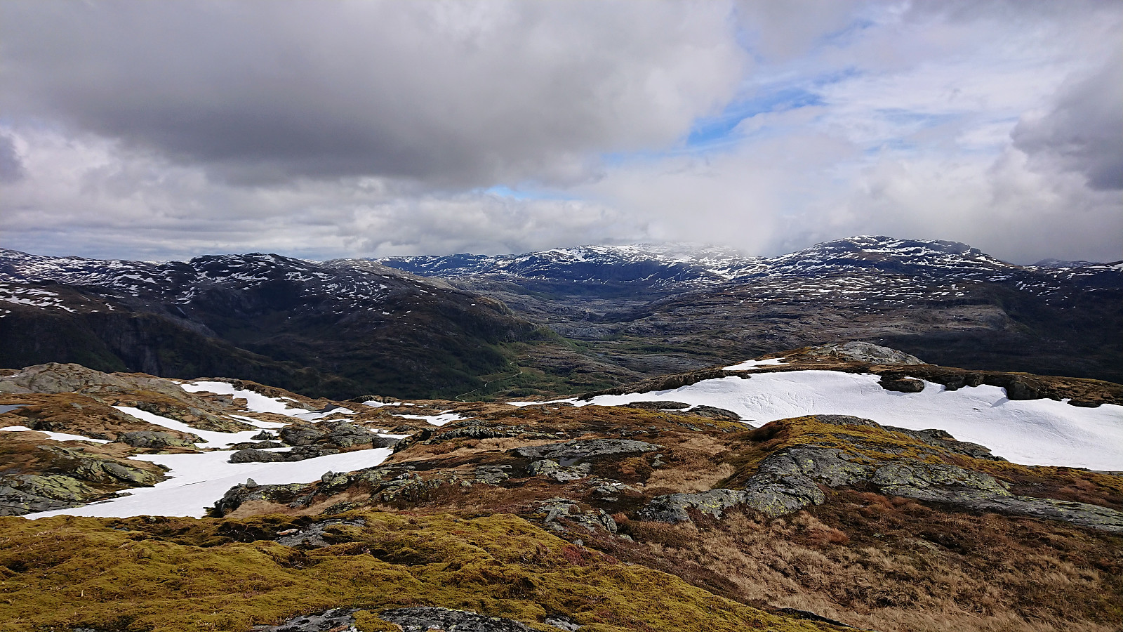
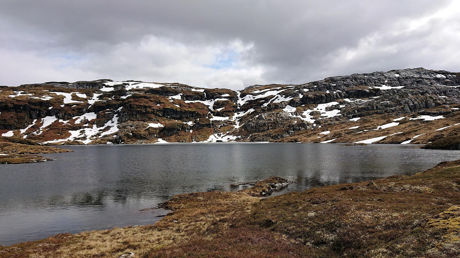
From Storafjellet we headed north toward Smørtjørna, initially making good progress in easy terrain. The final descent to the lake was however more complicated due to many sections being too steep to descend. My colleague decided to cross the small snow-covered river and continue his descent from the other side, but while he managed to make it across safely in the end, I instead turned back in search for an easier option, and quickly came across a much less steep section that only required some very light climbing.
After reuniting, we came across a weak trail that we followed north of the lake where it seemed to continue west. We instead made our own way northeast up the small ridge, but soon realized that this was a mistake as it would take us in the wrong direction. To correct our error we tried turning northeast, but the hilly terrain from the end of our ascent to Gråfjellet was now back, with lots of steep small cliffs that had to be avoided. When we later came across another trail at the southern end of Klenavatnet, we therefore decided to follow it, even though it was not heading exactly in the wanted direction.
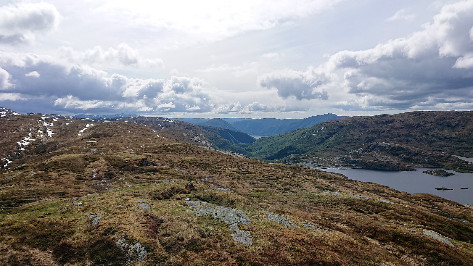
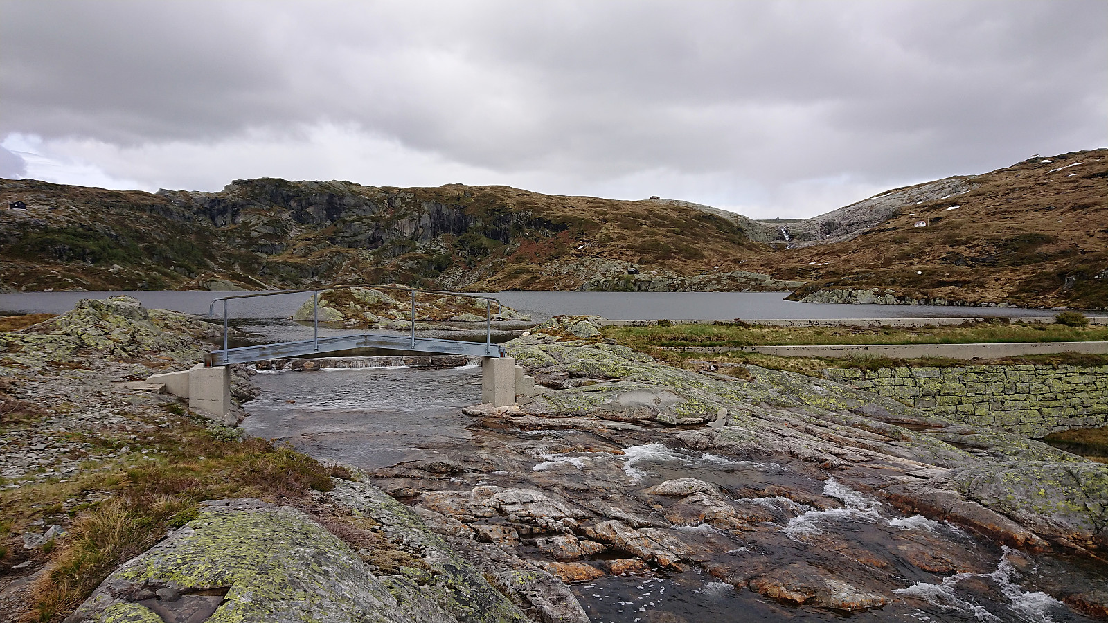
The trail brought us to the white cabin on the ridge of Kringsjå, from where we got a good view of the terrain and could consider our options. We ended up making our own way down to Fossavatnet, which was straightforward and the river coming down from Kjerringatjørna thankfully containing lots of well-placed large rocks that enabled us to cross it without getting wet.
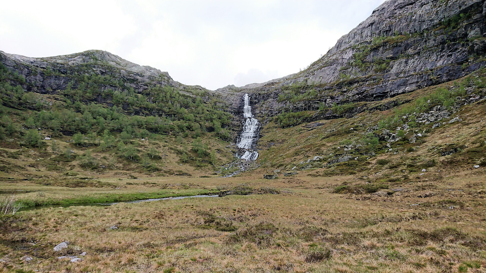
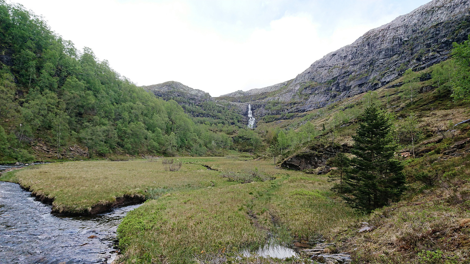
Although no trail was indicated on the map (at least not the top part), my colleague had been in the area before and knew of a trail following the river down to Lonane, passing by the nice waterfall on the way. Note that this route is relatively steep, but it does not include any real challenges. There is some railing next to the start of the waterfall, but it has seen better days and should probably not be trusted. The ropes further down seemed to be of better quality though and simplified the descent.
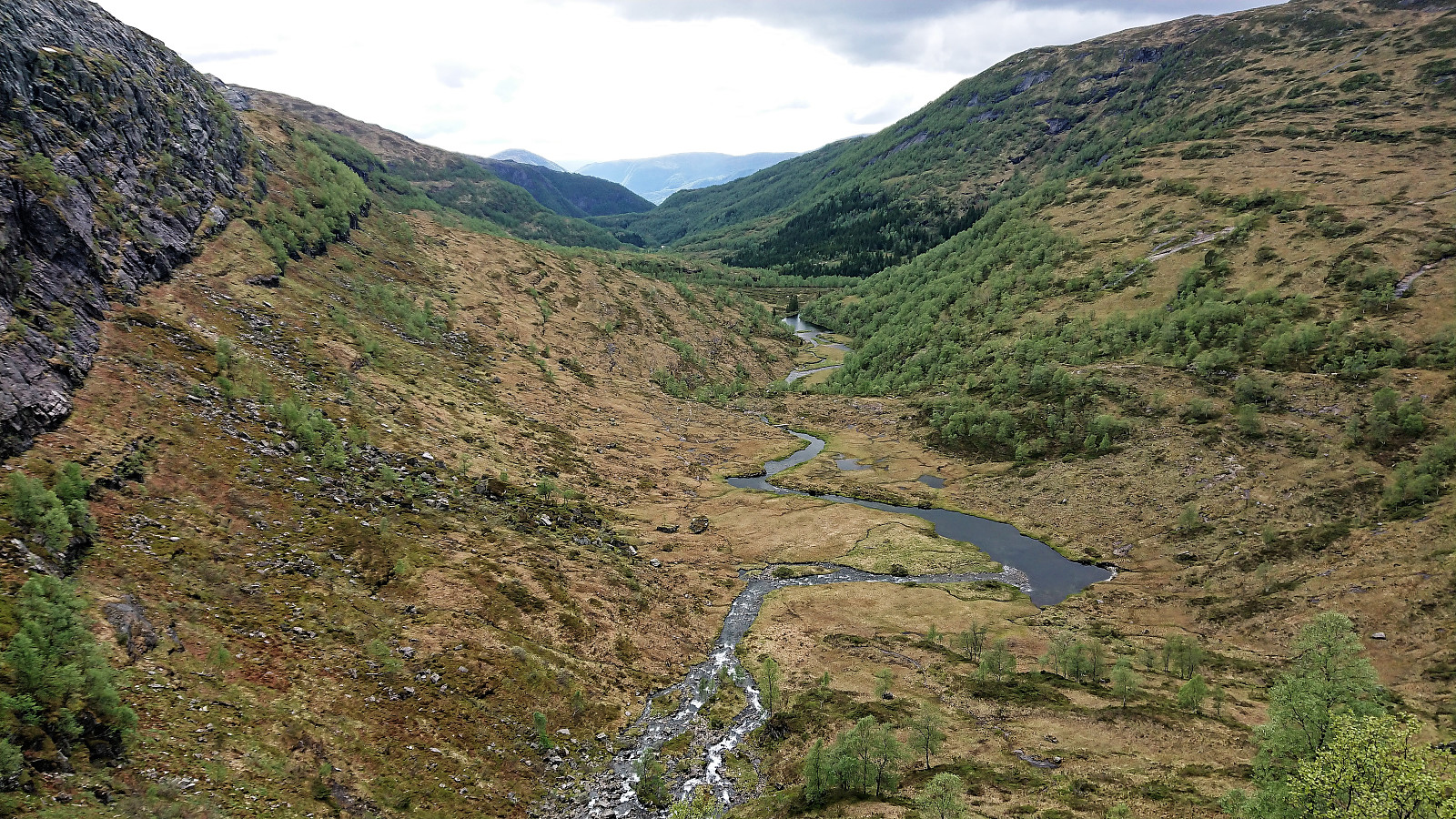
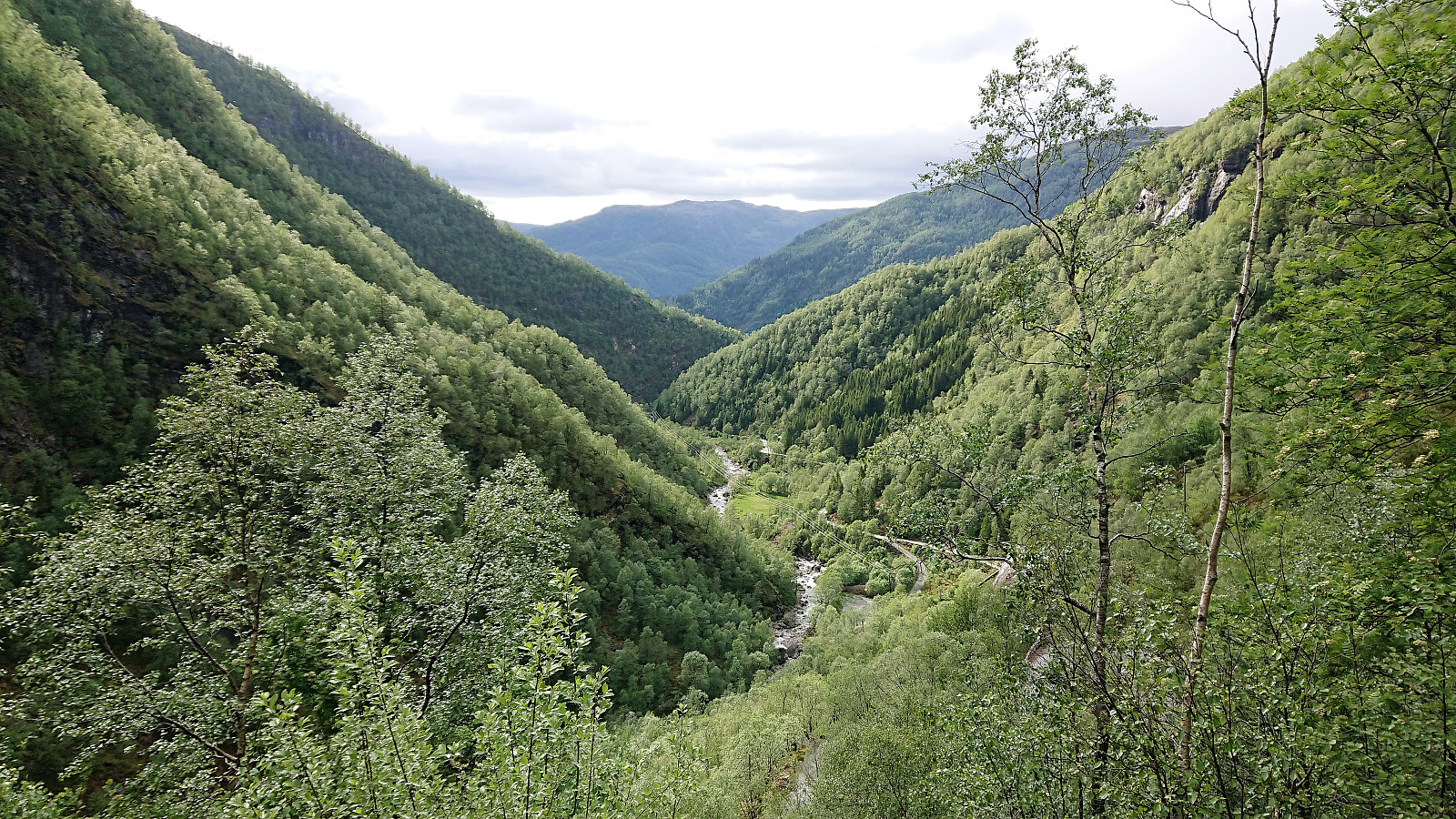
From the bottom of the valley, the trail followed the river until connecting with the main trail in Budalen, which we then followed until reaching the gravel road at Herfindal. Now all that remained was the long, but very nice, walk along the road to Vaksdal for the train back to Bergen.
In summary, a very nice hike that can be highly recommended to those not afraid of leaving the marked trails behind and also enjoy terrain that can sometimes be challenging to navigate. The majority of the hike, from Boge to about 2 km east of Gråfjellet and from Fossavatnet to Vaksdal, is however straightforward and can be enjoyed by all hikers. Finally, note that our route down to Smørtjørna should not be attempted during the winter, although there may be other simpler options to be found.

| Start date | 26.05.2019 09:58 (UTC+01:00 DST) |
| End date | 26.05.2019 19:11 (UTC+01:00 DST) |
| Total Time | 9h 13min |
| Moving Time | 8h 11min |
| Stopped Time | 1h 01min |
| Overall Average | 3.0km/h |
| Moving Average | 3.4km/h |
| Distance | 27.6km |
| Vertical meters | 1,542m |

User comments