Skarsnuten, Vardafjellet, Grytefjellet and Beljaråsen (30.04.2019)

| Start point | Skarsnuten parkering (116m) |
|---|---|
| Endpoint | Skarsnuten parkering (116m) |
| Characteristic | Hillwalk |
| Duration | 5h 47min |
| Distance | 16.6km |
| Vertical meters | 1,193m |
| GPS |
|
| Ascents | Beljaråsen (395m) | 30.04.2019 |
|---|---|---|
| Grytefjellet (808m) | 30.04.2019 | |
| Skarsnuten (410m) | 30.04.2019 | |
| Vardafjellet (771m) | 30.04.2019 | |
| Visits of other PBEs | Skardsnuten p-plass (120m) | 30.04.2019 |
Skarsnuten, Vardafjellet, Grytefjellet and Beljaråsen
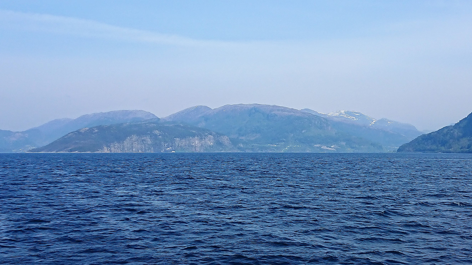


Another meeting ending at Solstrand, another hike beginning in Fusa. But this time I was lucky enough to catch a ride with a colleague and fellow Peakbooker HHauser (Helwig Hauser). So when the rest of our colleagues got on the bus back to Bergen, we instead headed for the ferry to Venjaneset and onwards to the parking lot for Skarsnuten, all in perfect hiking weather.
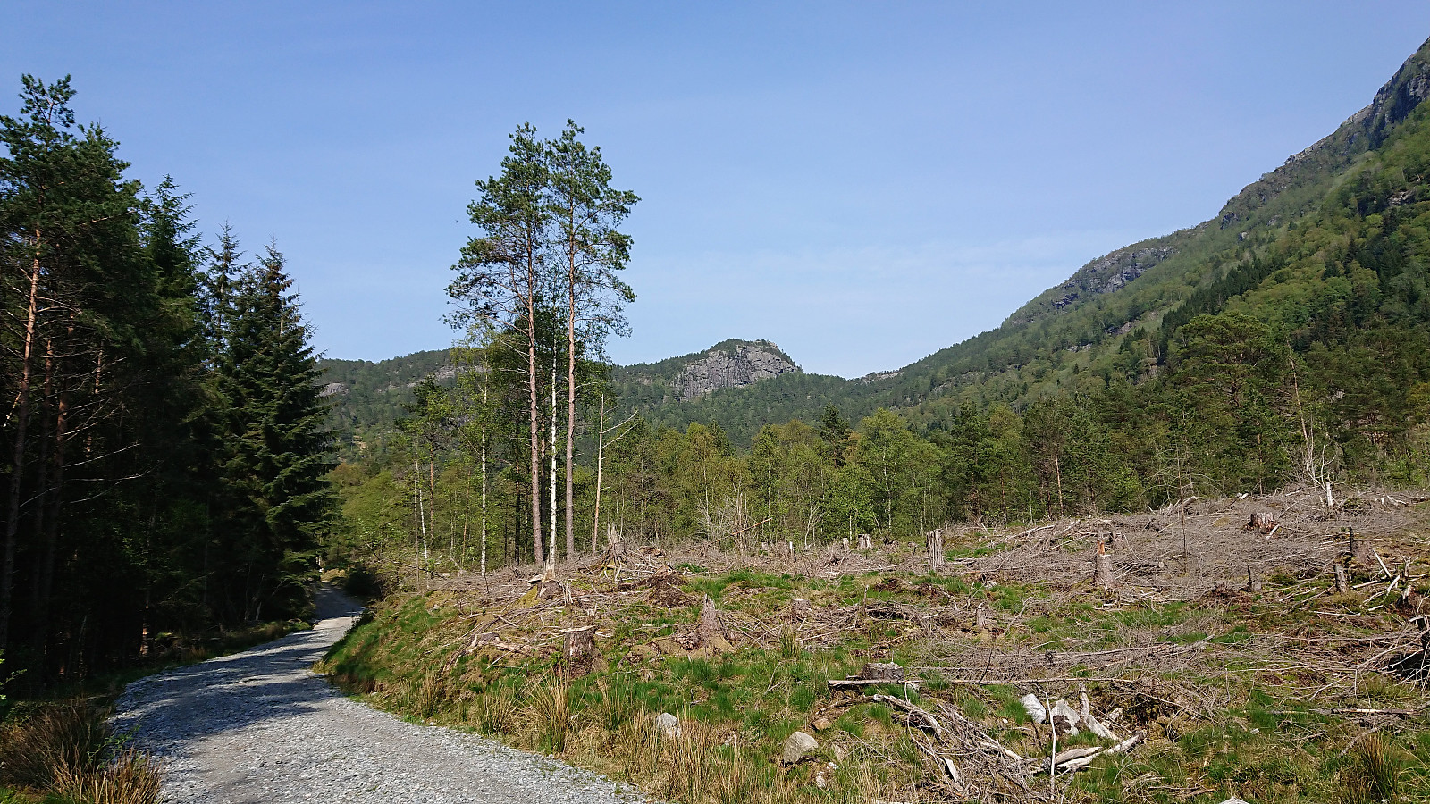
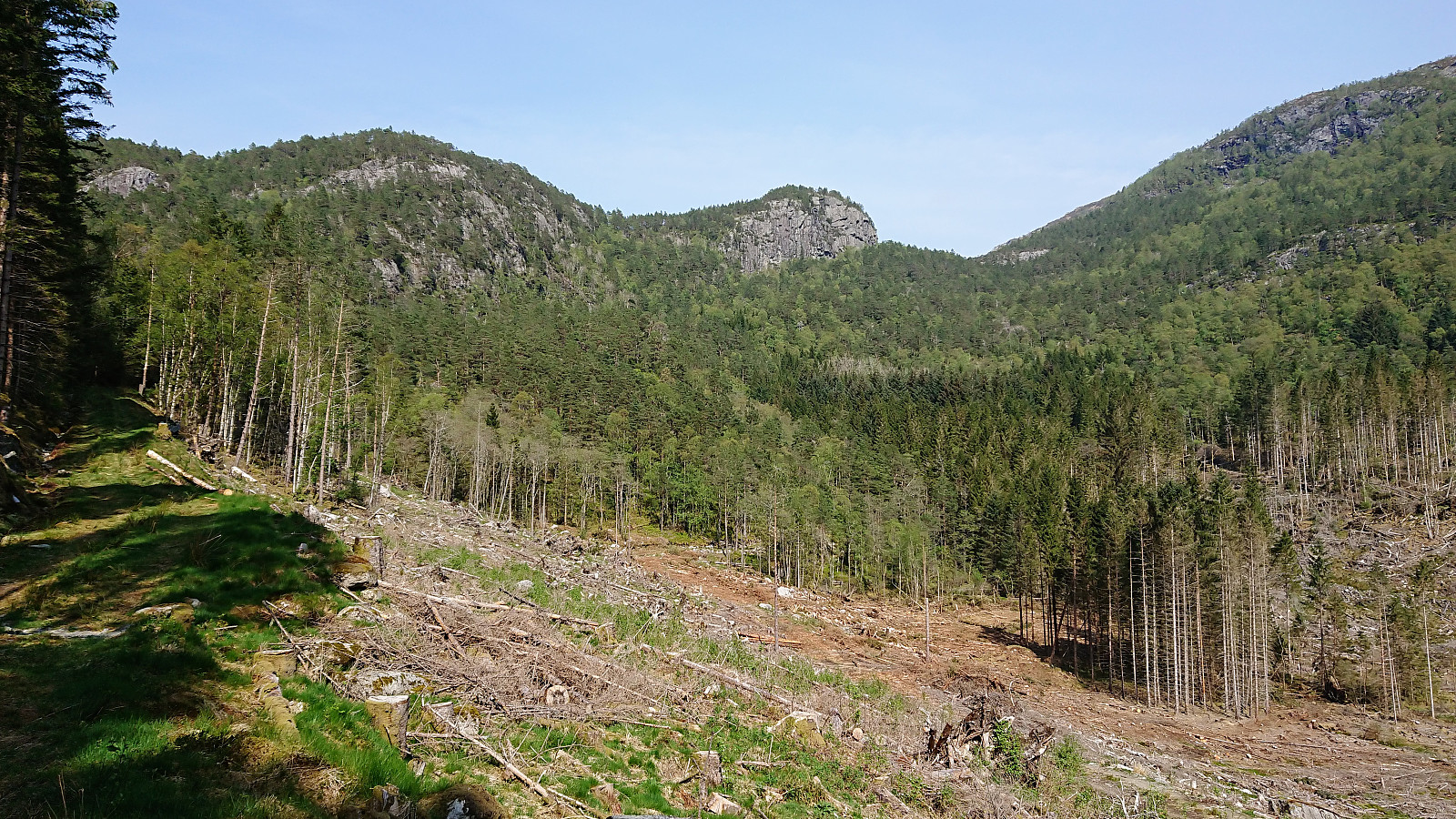
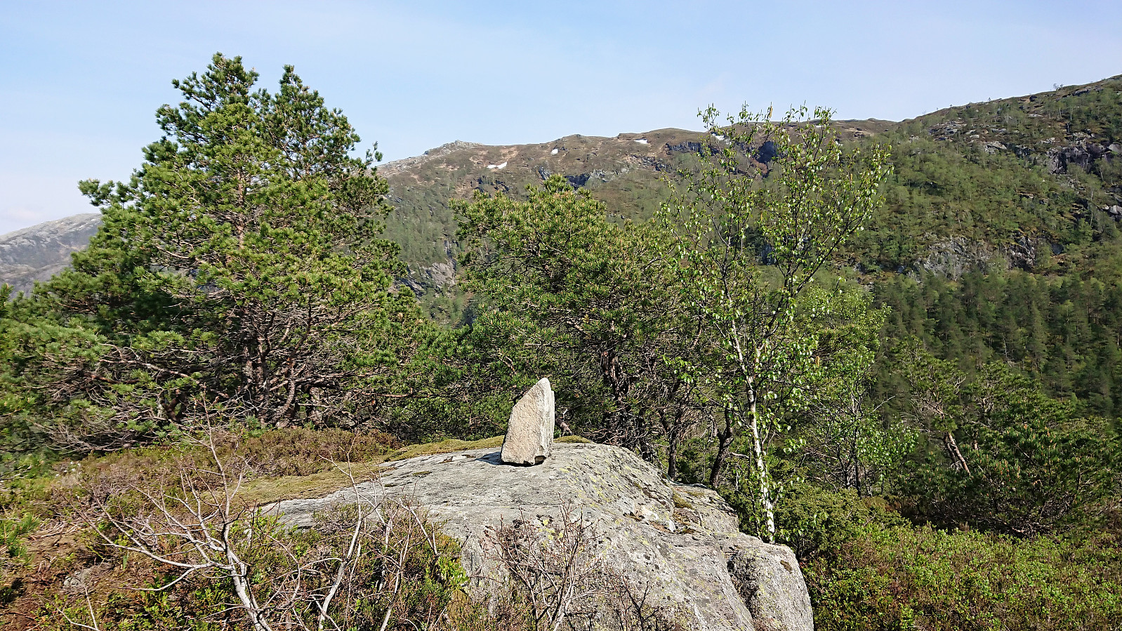
From the parking lot we initially followed the gravel road north, but soon switched to the parallel tractor road. The idea being that it would probably not be too difficult to make a shortcut up the valley east of Skarsnuten, and thus get a more interesting hike. This turned out even easier than expected, given that shortly after the tractor road ended we came across a trail marked with white plastic ribbons, which ended up taking us all the way to the summit of Skarsnuten.
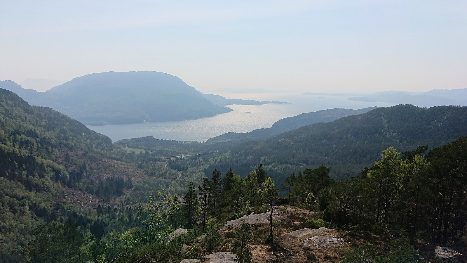
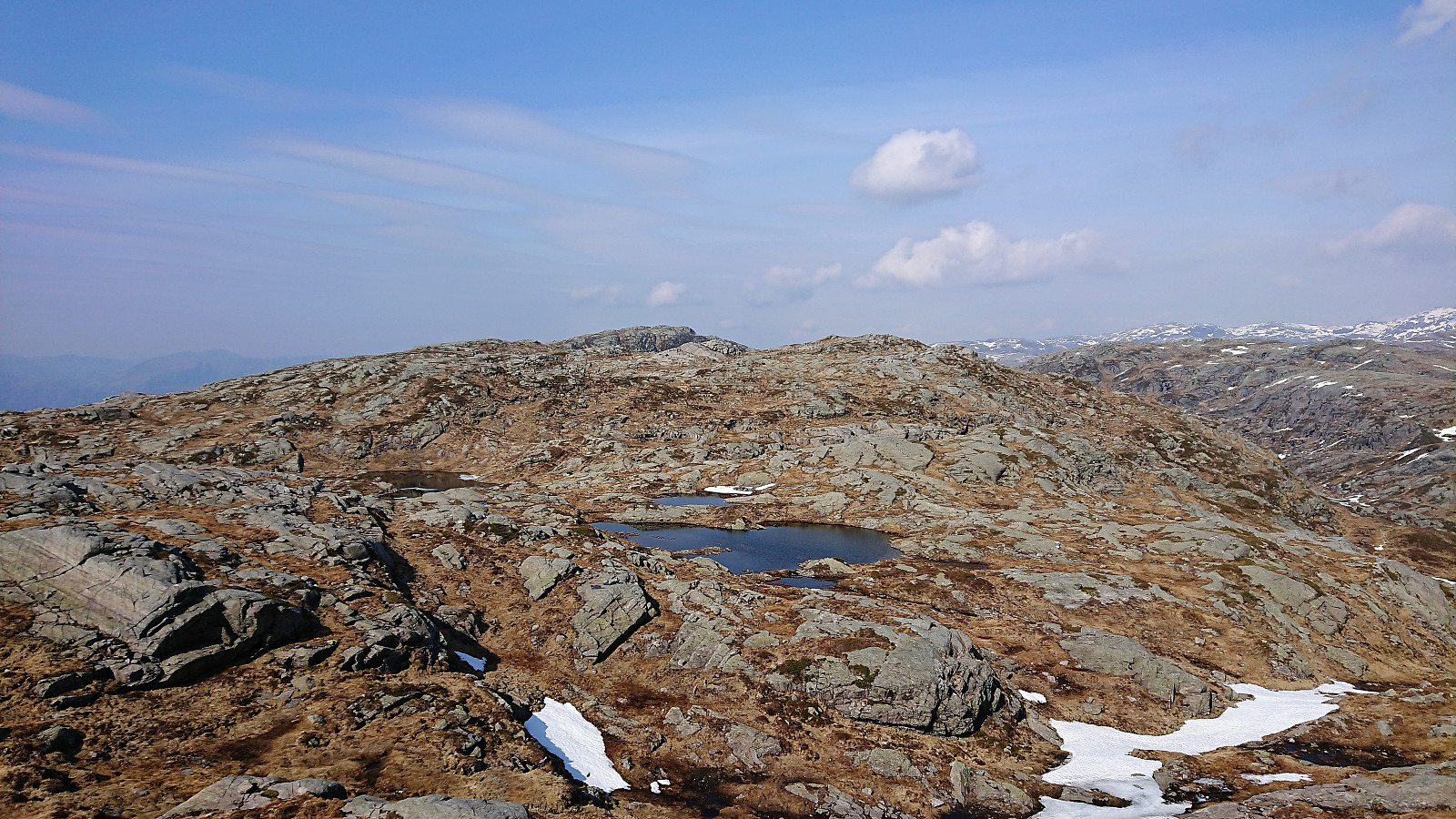
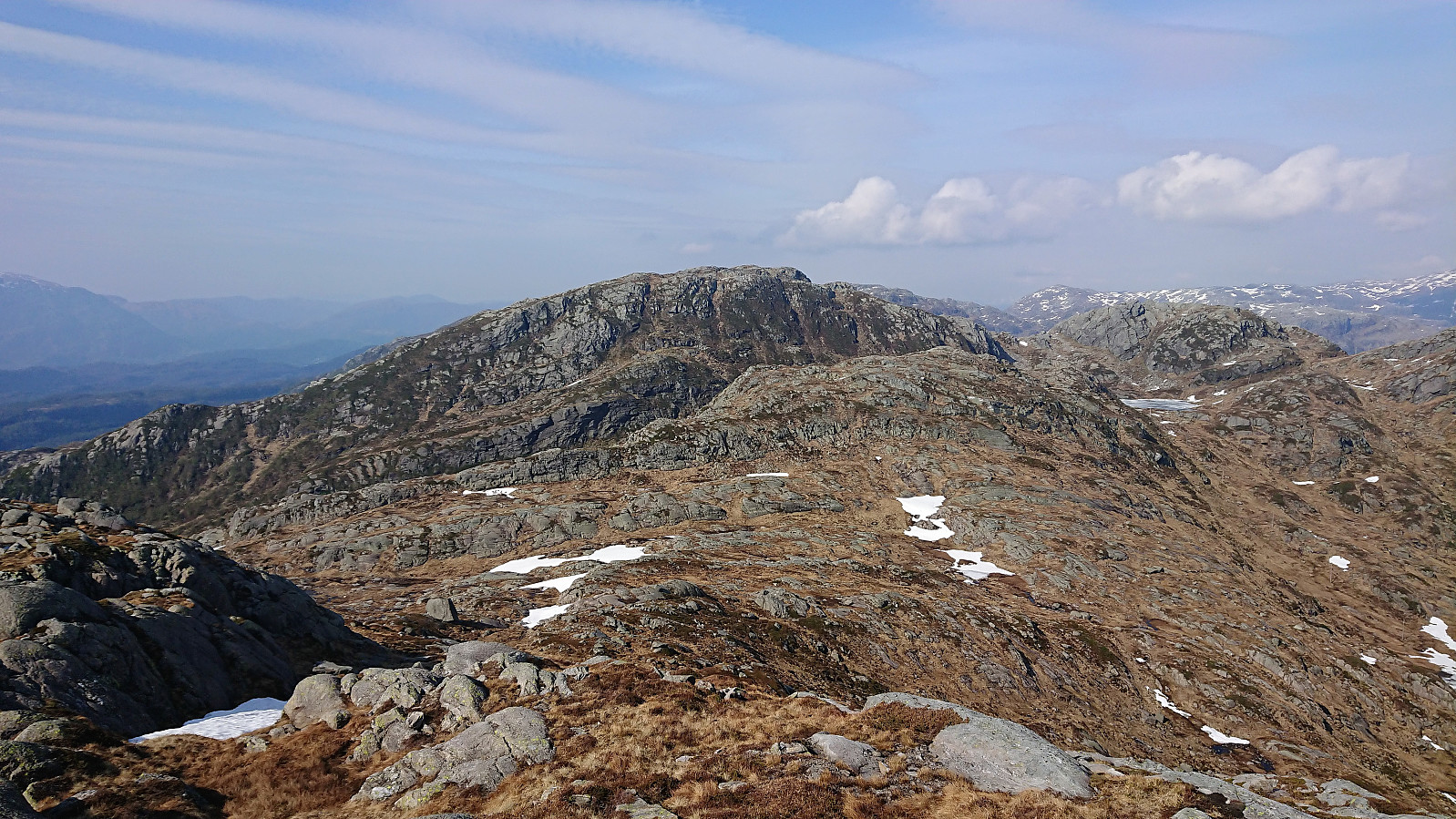
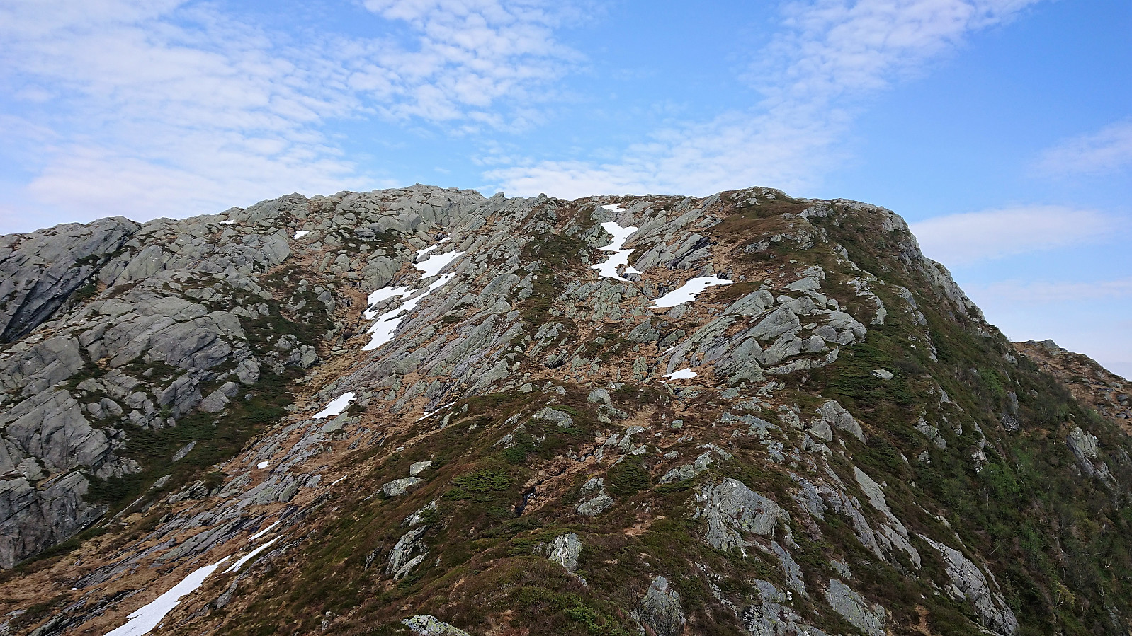
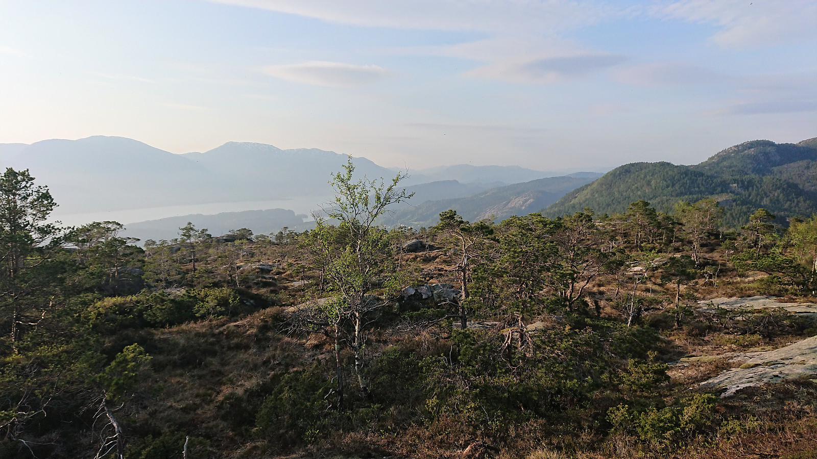
After enjoying the excellent views, we took the opportunity to inspect the terrain towards Vardafjellet, hoping that we could find an ascent that would not be too steep. And while there were clearly some areas to avoid, we could also see several options that should be easily doable.
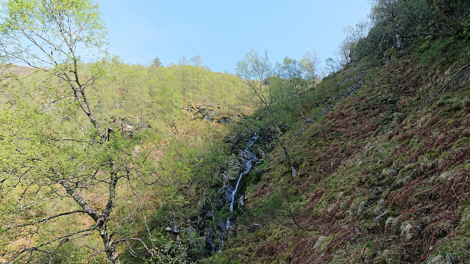
We returned to the trail and followed it until it turned north toward Hafskorvatnet. Here we left the trail and made our own way east, but as we got close to a small stream we came across what appeared to be a weak trail, which could be followed without any difficulties, and we soon found ourselves on the plateau in between Moshovda and Vardafjellet. From there on it was straightforward to progress to Vardafjellet, enjoying great views along the way.
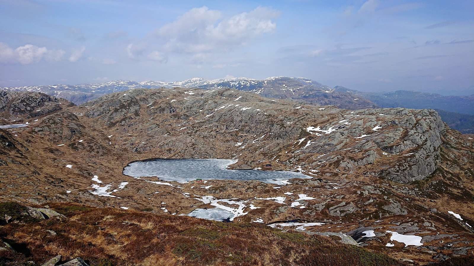
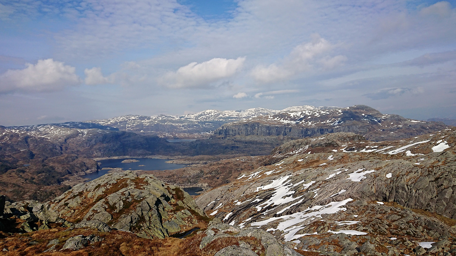
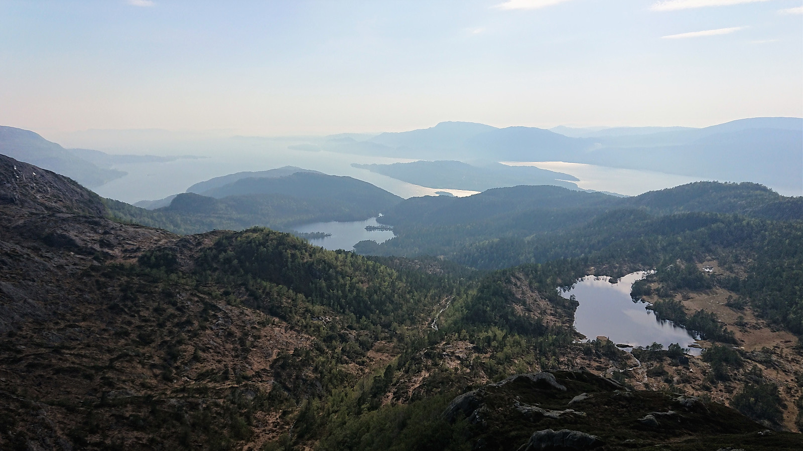
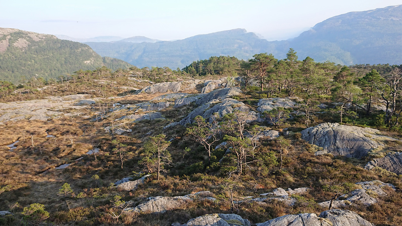
Vardafjellet provided an unhindered view towards Grytefjellet, allowing us to plan the best route for the final ascent. Going around Brekketjørna looked like the best idea, and within not too long we were standing at the summit, providing excellent views, although there was a light haze.
For the descent we decided to continue south to the edge of the cliff and there turn west, and later north, in order to connect with the trail heading south to Hafskorvatnet. This turned out to be an excellent choice, and we reached the trail without any difficulties. But ironically we quickly lost the trail, and had to find our own way for a while, until later finding it again.
Upon reaching Hafskorvatnet the trail turned in to a gravel road, which we followed around the lake, until coming across another trail marked with white plastic ribbons. Given that our plan was to also include a visit to Beljaråsen on the way back to the car, we assumed this trail would be good way to get us there.
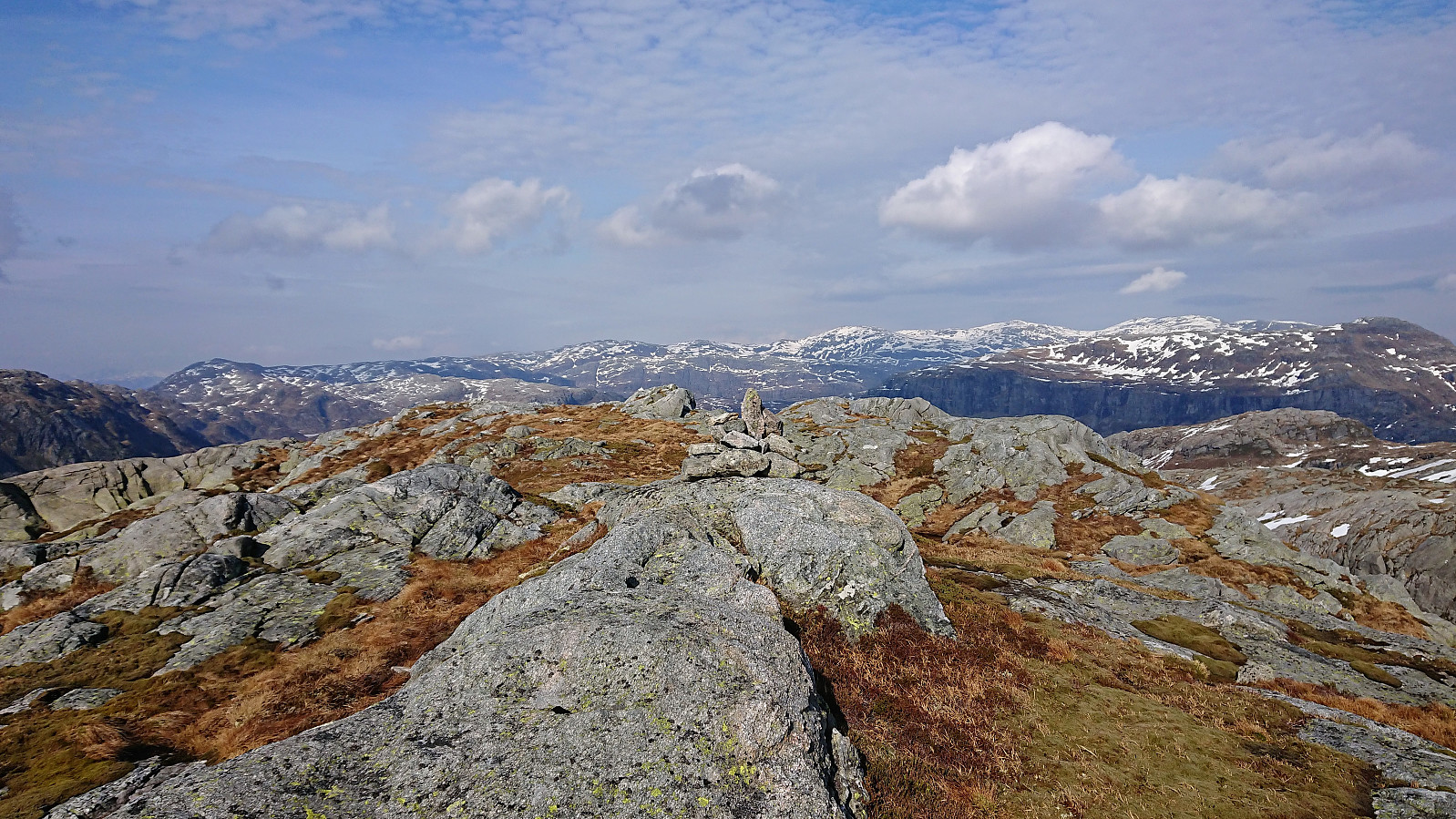
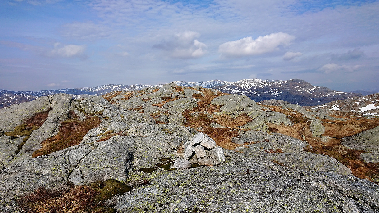
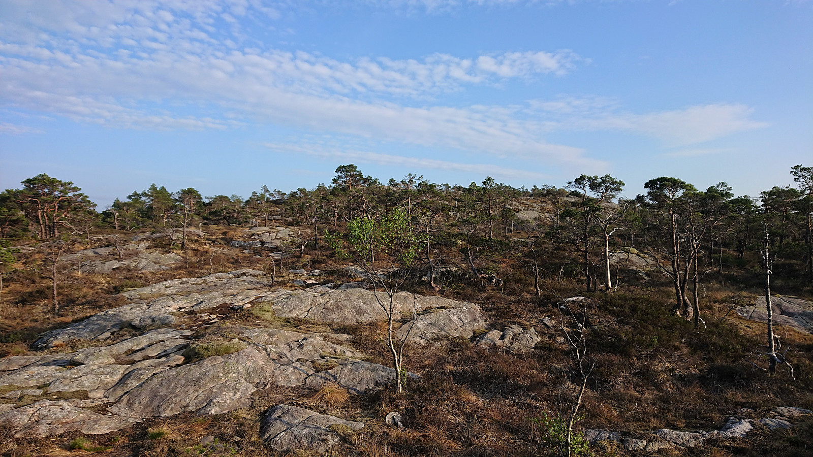
But maybe we were not paying attention and missed our exist, or perhaps we simply started on the wrong trail, because soon the trail started descending west, and clearly had no intention of taking us towards the summit. We therefore left the trail behind and started making our own way south. But to our surprise we quickly came across another marked trail, which from that point could be easily followed all the way to the summit. So our minor detour could most likely have been avoided. Beljaråsen provided nice views, in particular to the north. The southern views were more limited due to trees.
We now had two options, follow the same route back to the gravel road (and hopefully figure out where we missed our exit) or try to make our own more direct shortcut south. We decided on the latter and for the first 500 meters or so the progress was straightforward. But then we hit some cliffs that were clearly too steep to descend, and had to employ a bit of trial and error to find a safe route.
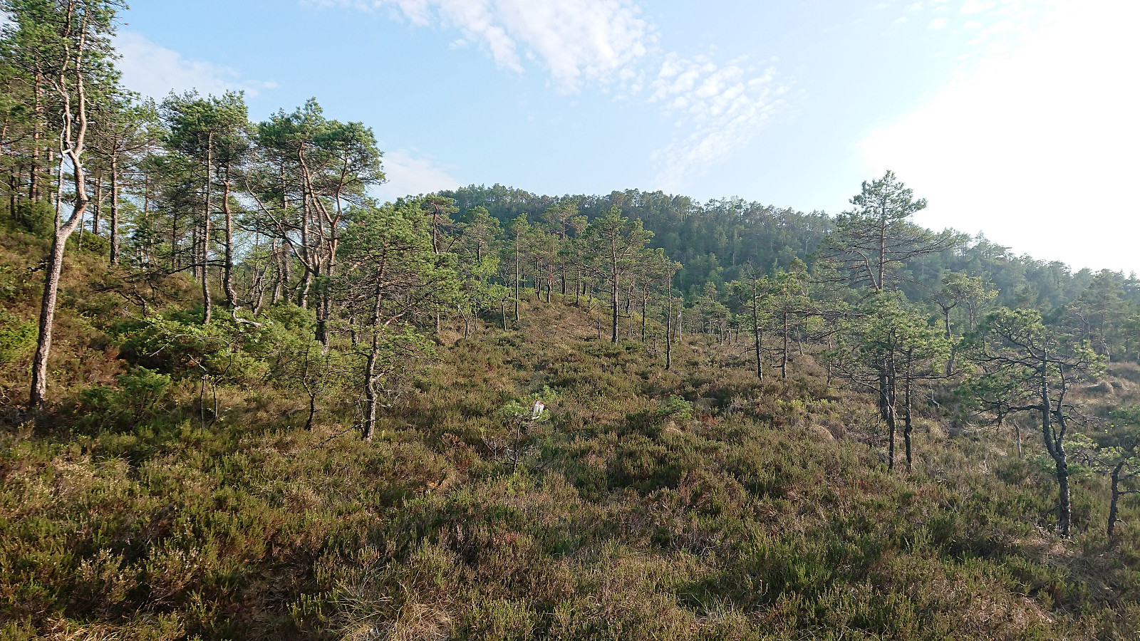
Later there were a couple more steep areas that could easily be avoided, and lots of trees and bushes to climb over, under or through, but in the end we finally made it to the gravel road without any real issues. Not everyone's cup of tea though. So for those not too keen on this type of hiking, returning along the marked trail is probably the better option.
The hike was concluded by following the gravel road back to the car for the drive back to Bergen. In summary, an excellent hike that can be highly recommended, and overall (with the exception of our shortcut down from Beljaråsen) along much easier trails/paths than we had expected.
For comparison, you can find Helwig's trip report here.


| Start date | 30.04.2019 14:32 (UTC+01:00 DST) |
| End date | 30.04.2019 20:20 (UTC+01:00 DST) |
| Total Time | 5h 47min |
| Moving Time | 5h 23min |
| Stopped Time | 0h 24min |
| Overall Average | 2.9km/h |
| Moving Average | 3.1km/h |
| Distance | 16.6km |
| Vertical meters | 1,192m |

User comments