Osen, Spåkefjellet and Beitelen (27.04.2019)

| Startsted | Ytre Arna (32moh) |
|---|---|
| Sluttsted | Gaupås (70moh) |
| Turtype | Fjelltur |
| Turlengde | 2t 22min |
| Distanse | 8,7km |
| Høydemeter | 507m |
| GPS |
|
| Bestigninger | Beitelen (259moh) | 27.04.2019 |
|---|---|---|
| Osen (172moh) | 27.04.2019 | |
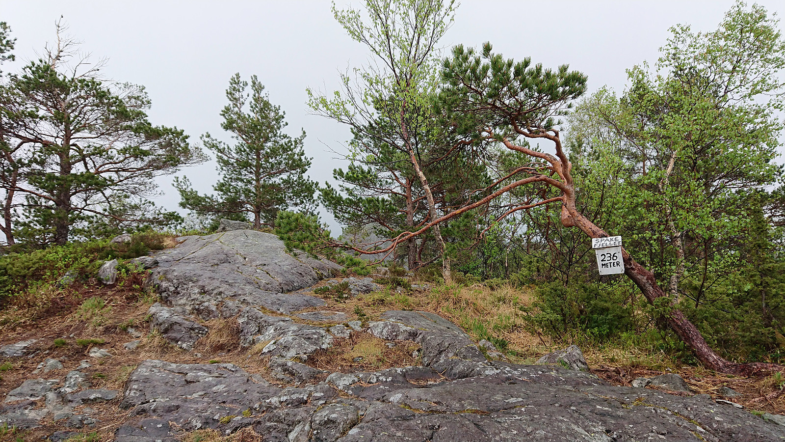
| Spåkefjellet (236moh) | 27.04.2019 | |
| Andre besøkte PBE'er | Osen utsiktspunkt (167moh) | 27.04.2019 |
| Lavvo Sætrefjellet (133moh) | 27.04.2019 |
Osen, Spåkefjellet and Beitelen
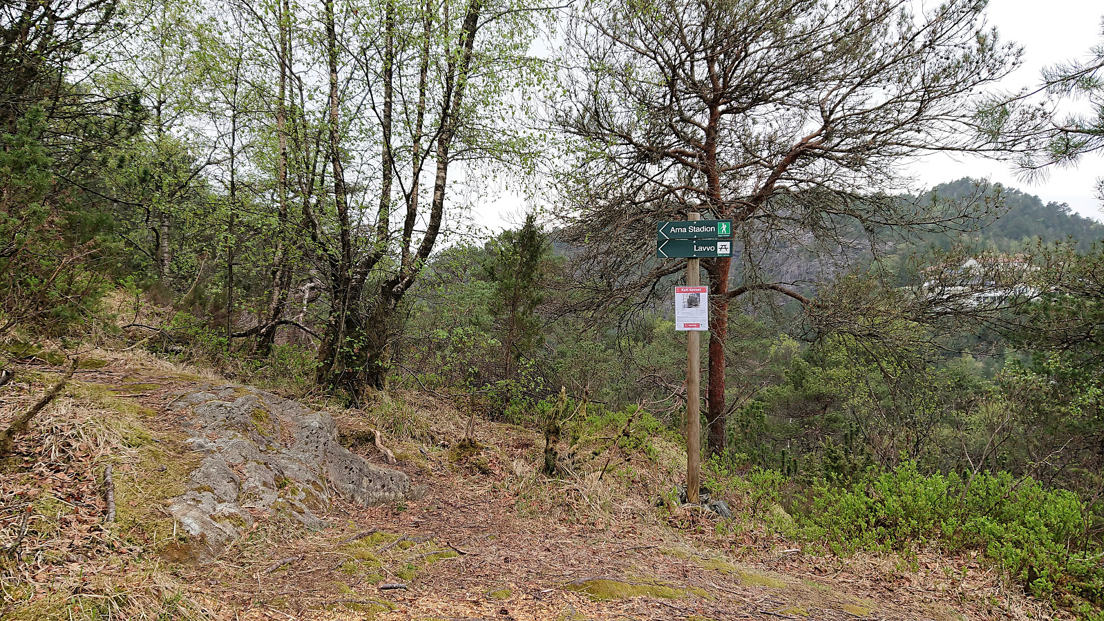
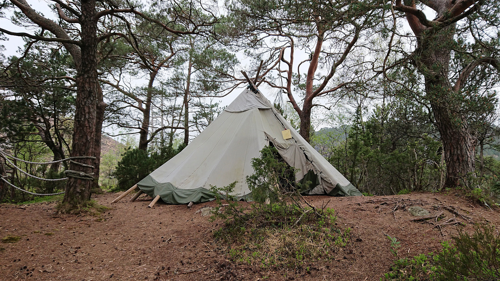
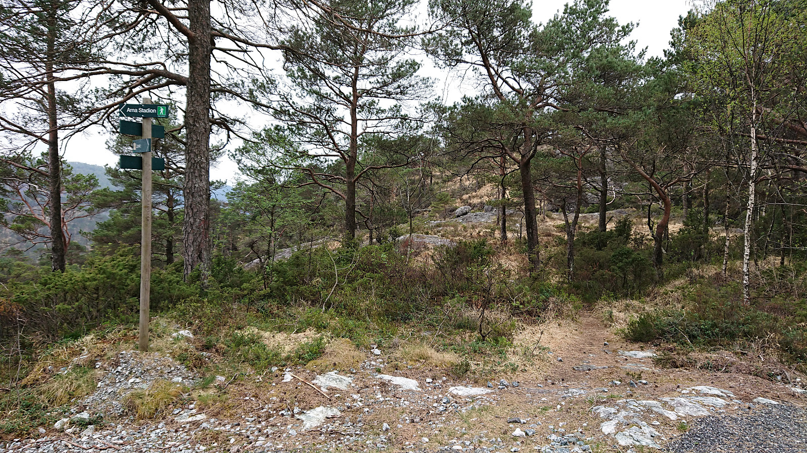
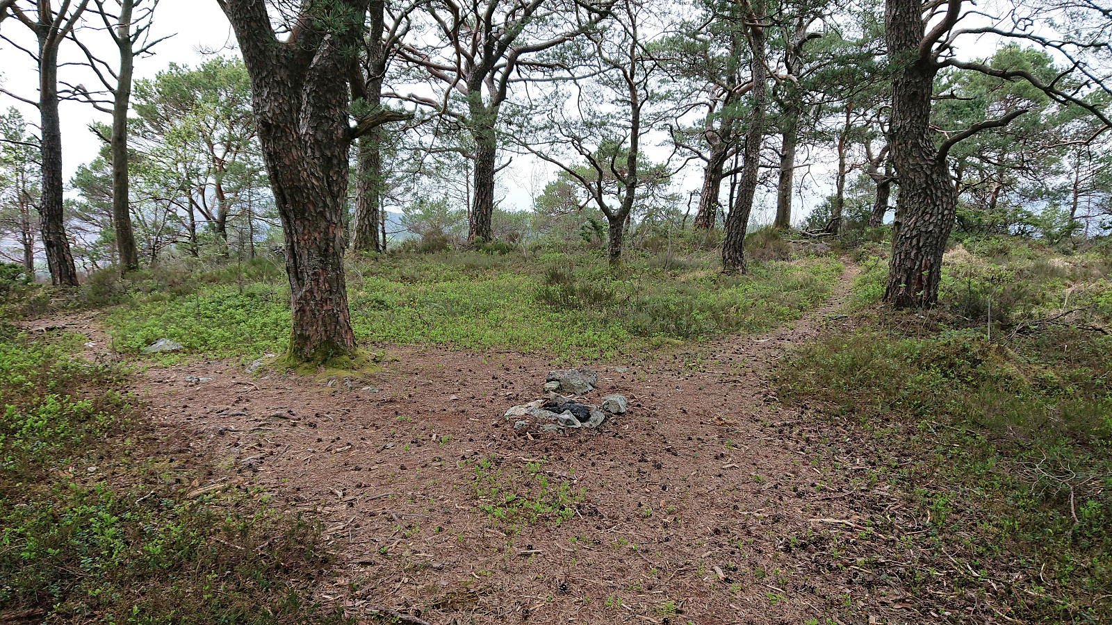
Started by taking the bus to Ytre Arna and walking along the roads up to the marked trailhead at the end of Mons Slettens vei. Here there was also a trail coming up from the north, hence there is most likely a shortcut up from Ytre Arna I did not know about. Within minutes I arrived at the Lavvo indicated on the sign, and as soon as I left it behind, I could see the small hill that was the main goal of today’s hike: Osen.
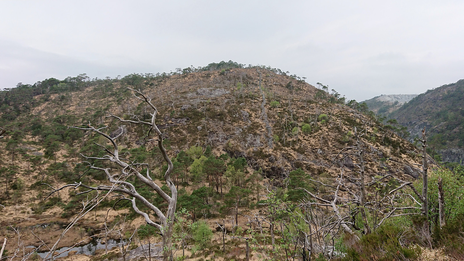
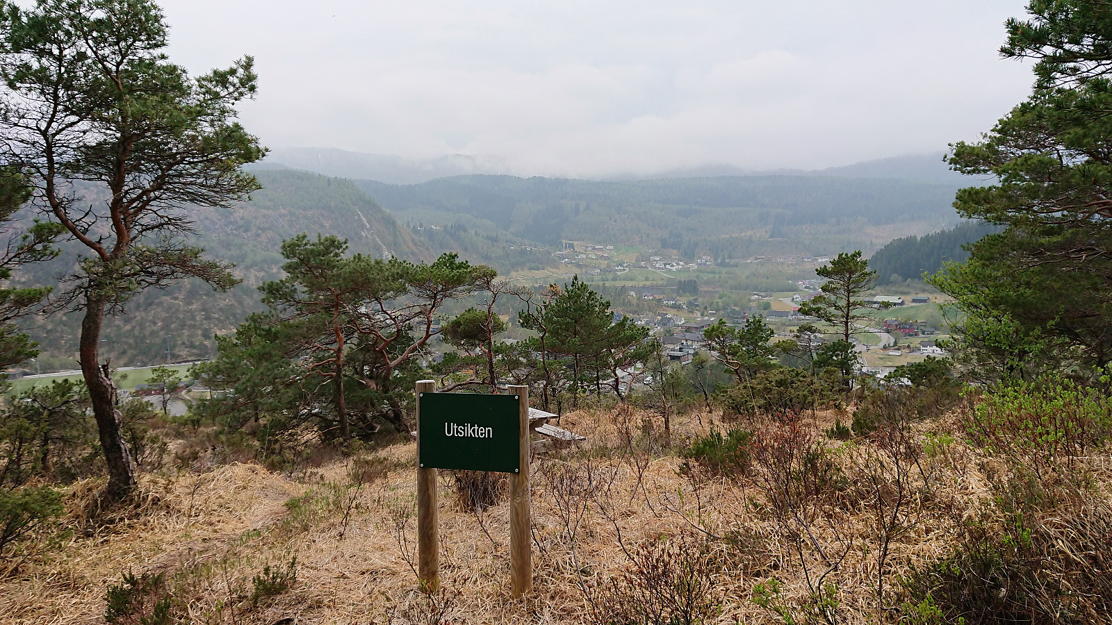
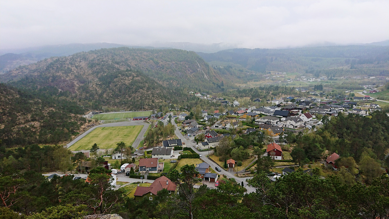
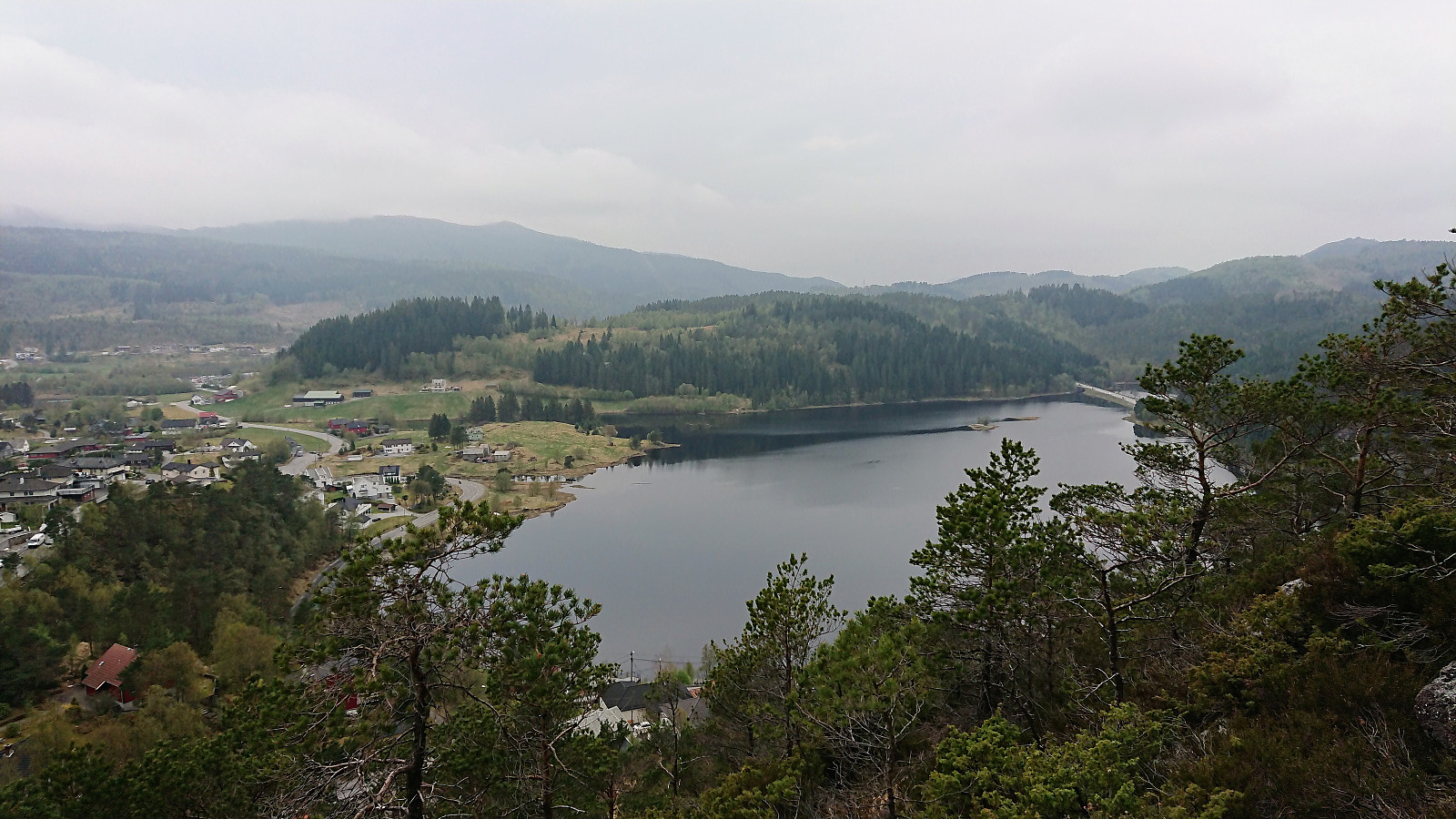
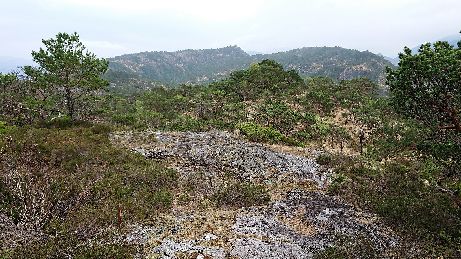
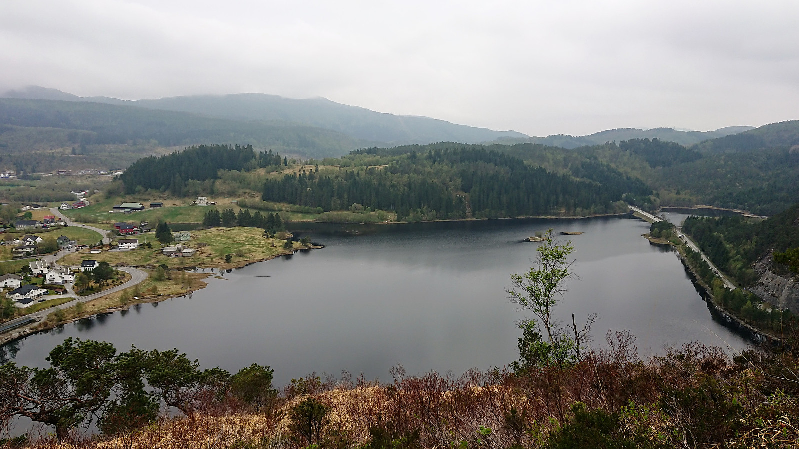
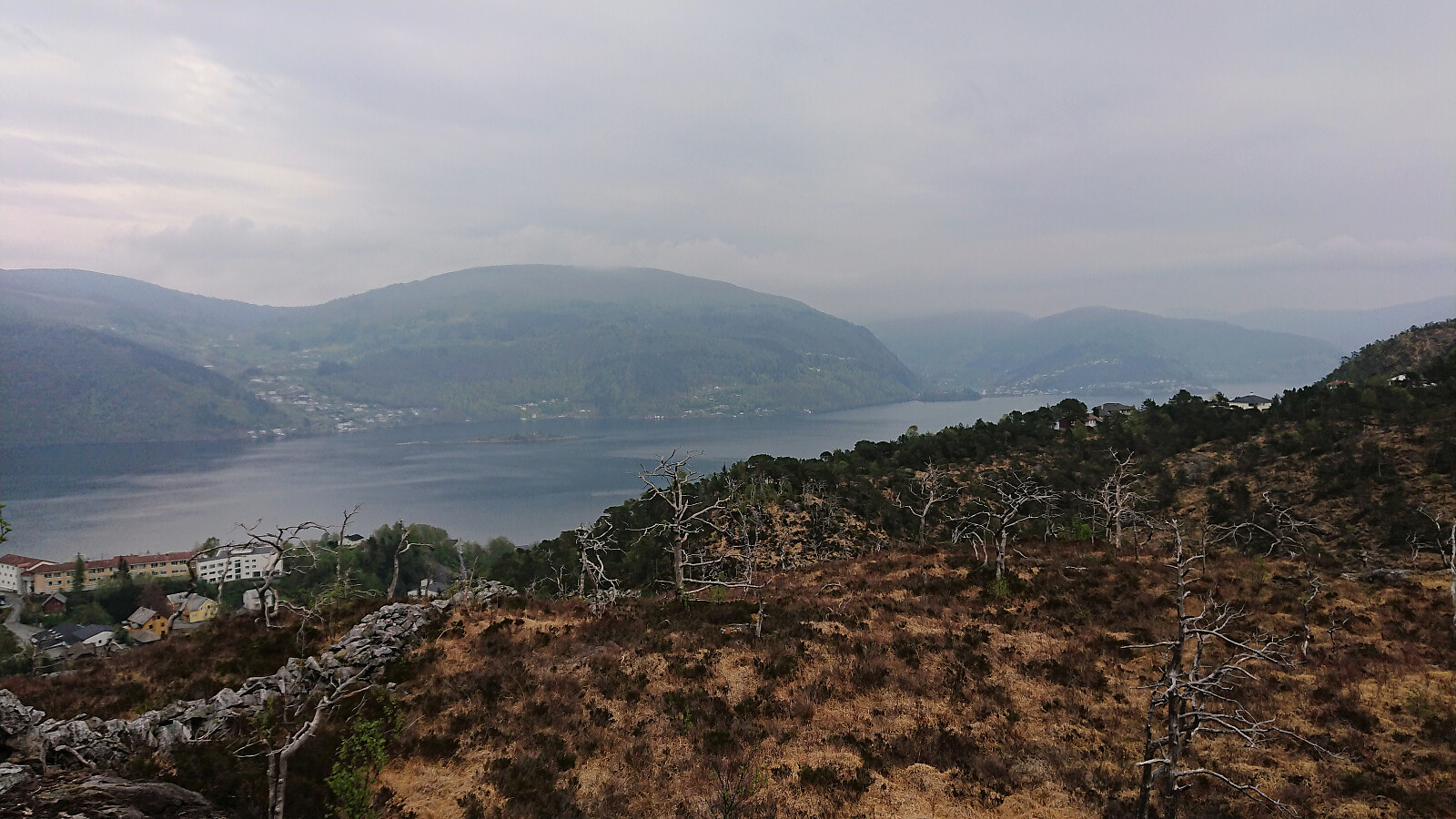
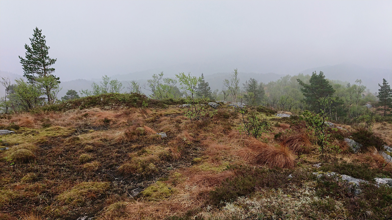
While it would probably not have been very difficult to head directly for the summit, I decided to stay on the trail, taking me almost south of the hill, before a new sign marked the trail towards Osen. On the way to the summit I made a quick visit to Osen utsiktspunkt, providing an excellent overview of Gaupås. The views from the summit itself were also pretty good, with unusual views towards Sjurstonipa, Spåkefjellet and Beitelen. I also continued a bit north of the summit, where even better views towards Gaupåsvatnet could be obtained.
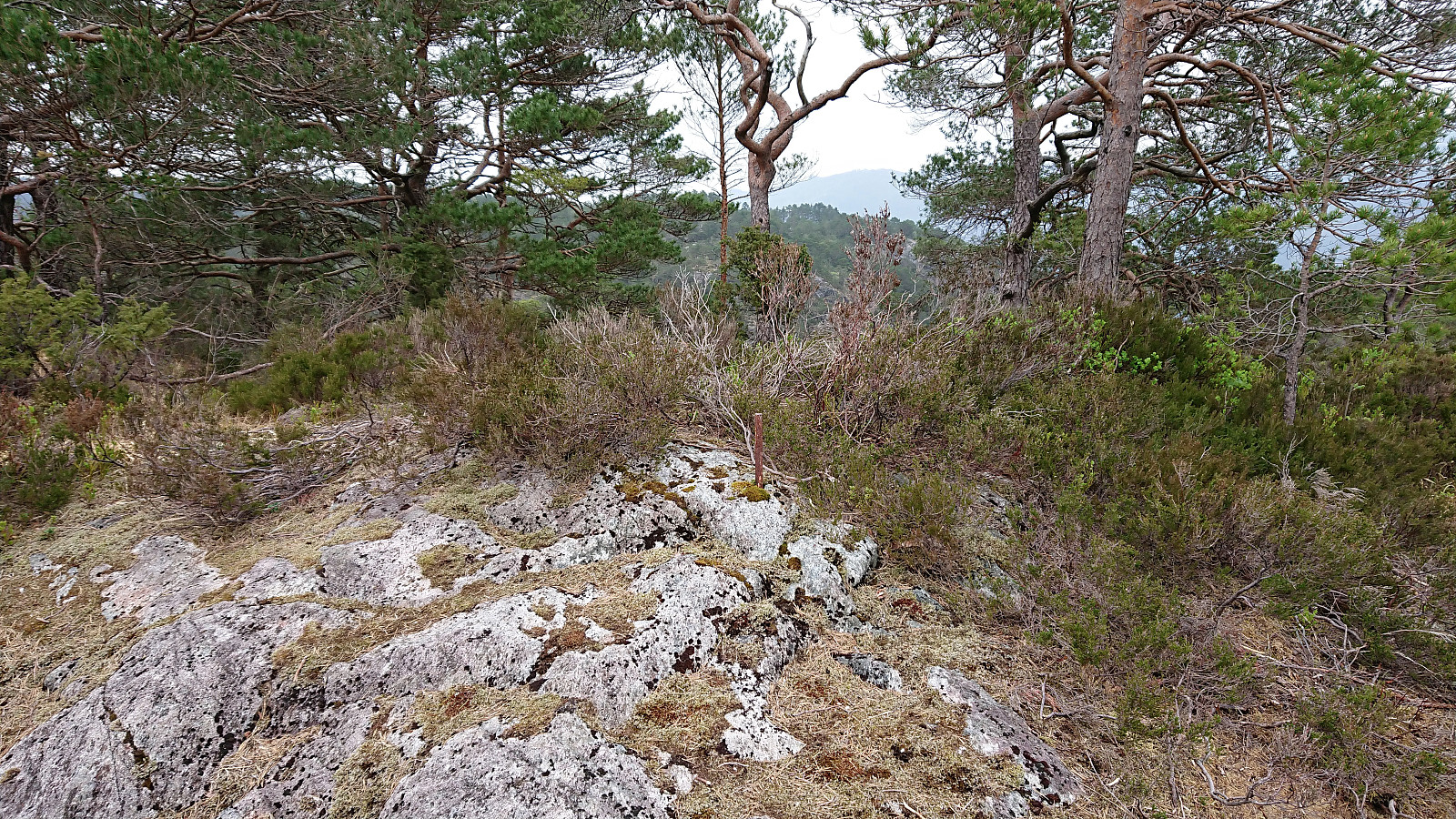
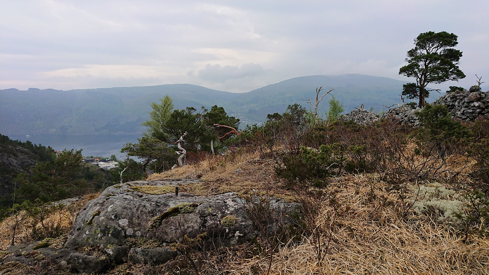
On my way back down, I noticed a slightly weaker trail heading in the direction of the lower eastern summit, and given that the forecasted rain had not yet started, I decided to make a visit there as well. The eastern summit had its own trig marker (just to the north of the low stone wall), and also very nice views toward Osterøy.
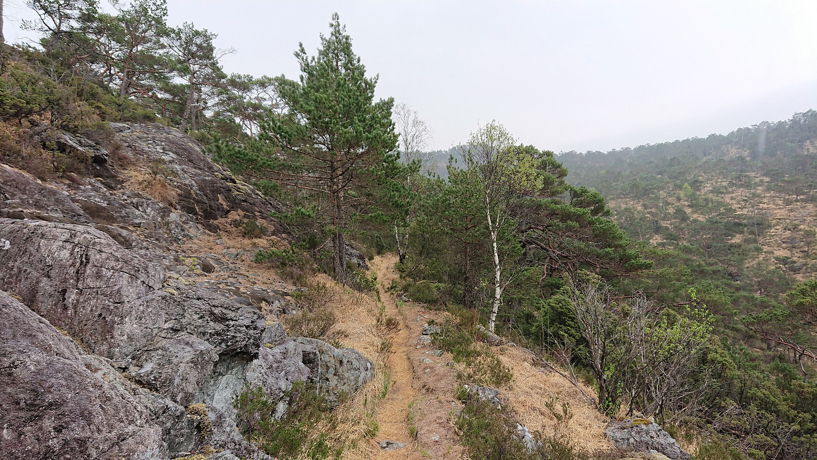
To my surprise, the trail continued west from eastern summit, taking me back to the taller western summit, via a good trail I had missed minutes earlier. After my second visit of the summit, I again started my descent, this time going all the way back to the marked trailhead south of the summit, from where I continued, now in the rain, along a nice trail to Gamsebotstjørna and then up to Spåkefjellet.
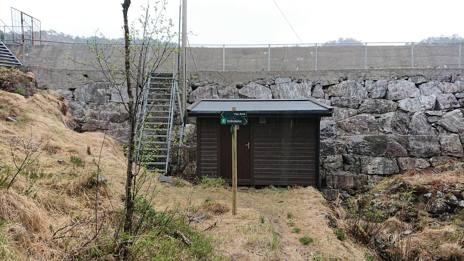
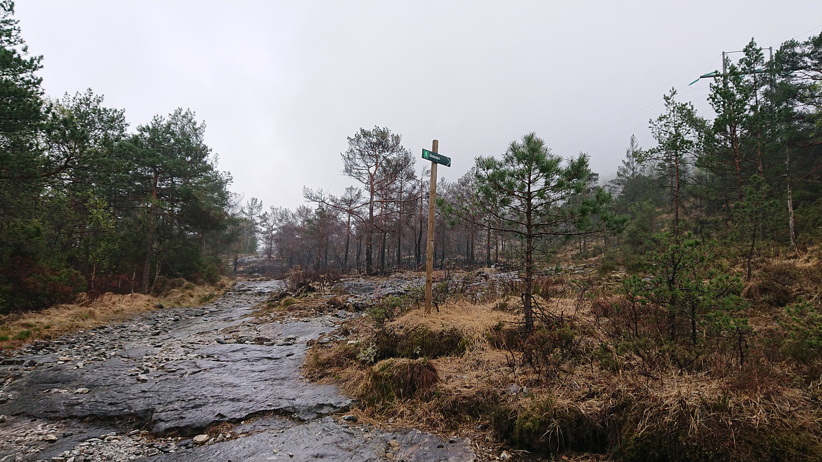
Shortly after leaving Spåkefjellet I lost the trail, due to remembering incorrectly that the trail was heading more directly towards the dam at the northern end of Spåkevatnet, but the error was quickly corrected and within not too long I was crossing the dam anyway. Given that there was still plenty of time left until the next bus, I also made a quick visit to Beitelen, where the trailhead was now marked with new sign (although I did not see the sign until my descent, as I made my own shortcut when starting the ascent). The hike was concluded by walking down to Gaupås for the bus back home. Overall a nice short hike with some unusual views along the way.
| Starttidspunkt | 27.04.2019 13:56 (UTC+01:00 ST) |
| Sluttidspunkt | 27.04.2019 16:19 (UTC+01:00 ST) |
| Totaltid | 2t 22min |
| Bevegelsestid | 2t 21min |
| Pausetid | 0t 1min |
| Snittfart totalt | 3,7km/t |
| Snittfart bevegelsestid | 3,7km/t |
| Distanse | 8,7km |
| Høydemeter | 506m |

Kommentarer