Store and Vetle Haugmelen (20.04.2019)

| Start point | Dalåker (376m) |
|---|---|
| Endpoint | Barsnes (36m) |
| Characteristic | Backcountry skiing |
| Duration | 7h 01min |
| Distance | 23.9km |
| Vertical meters | 1,141m |
| GPS |
|
| Ascents | Store Haugmelen (1,172m) | 20.04.2019 |
|---|---|---|
| Vetle Haugmelen (1,118m) | 20.04.2019 | |
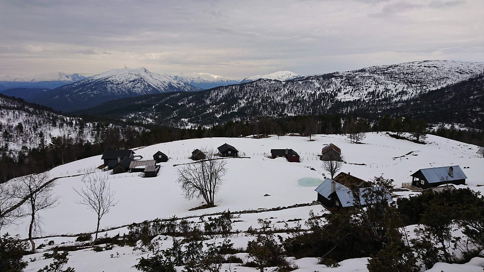
| Visits of other PBEs | Dal (400m) | 20.04.2019 |
| Dalåker bom (395m) | 20.04.2019 | |
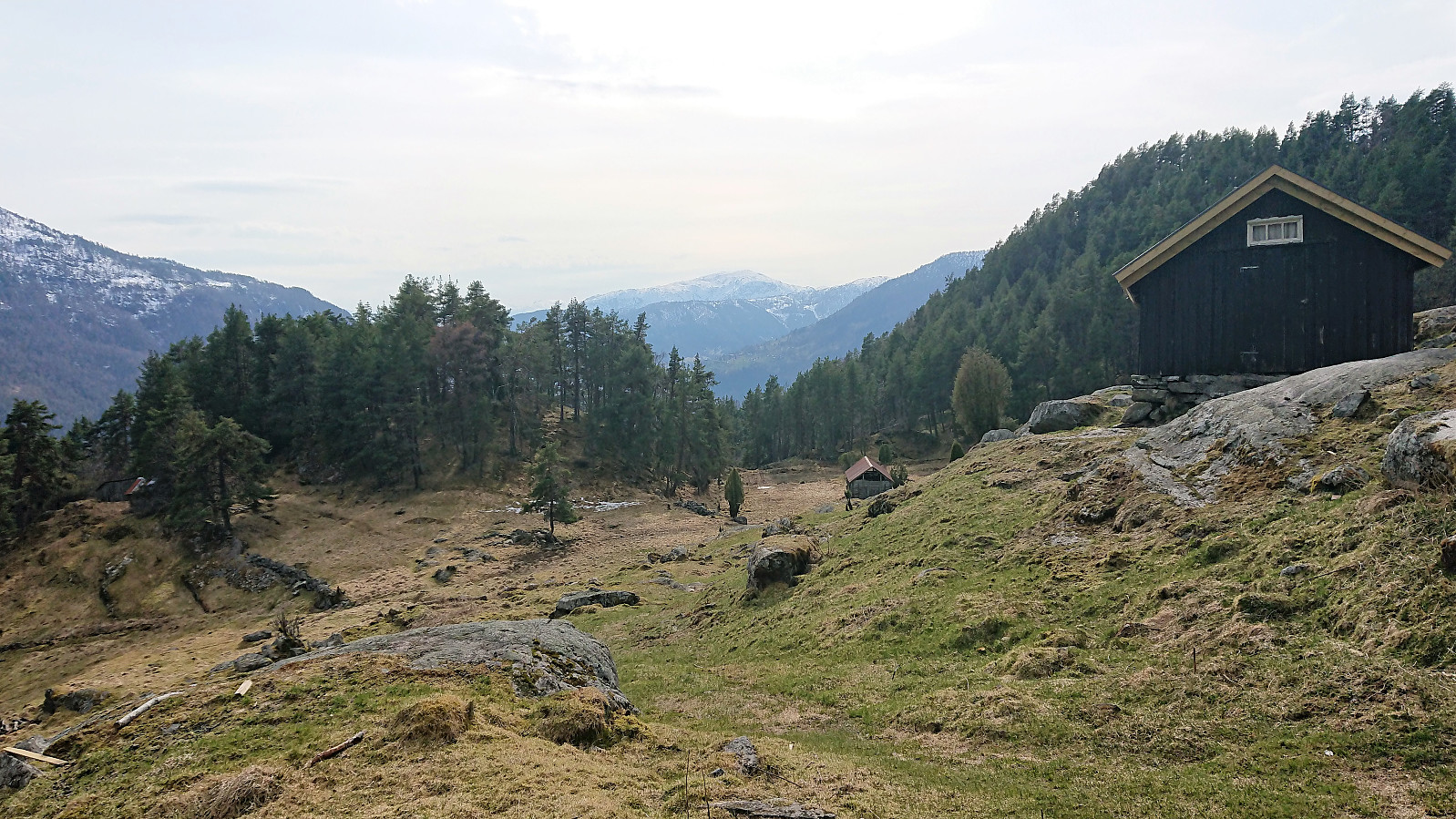
| Helgasete (600m) | 20.04.2019 | |
| Vassløysa (793m) | 20.04.2019 |
Store and Vetle Haugmelen
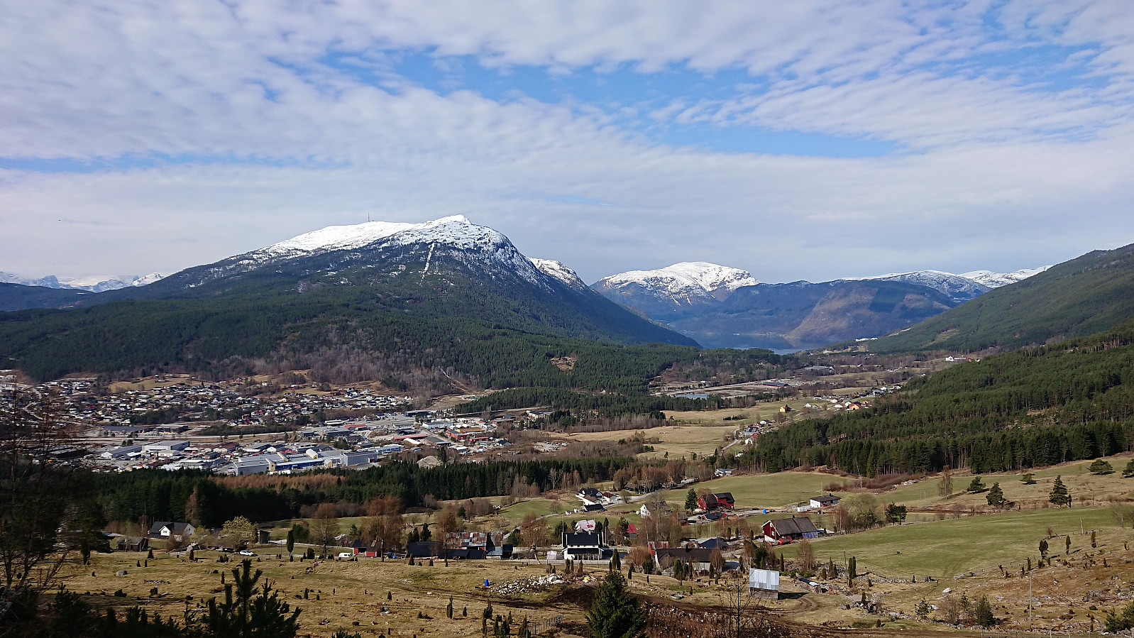
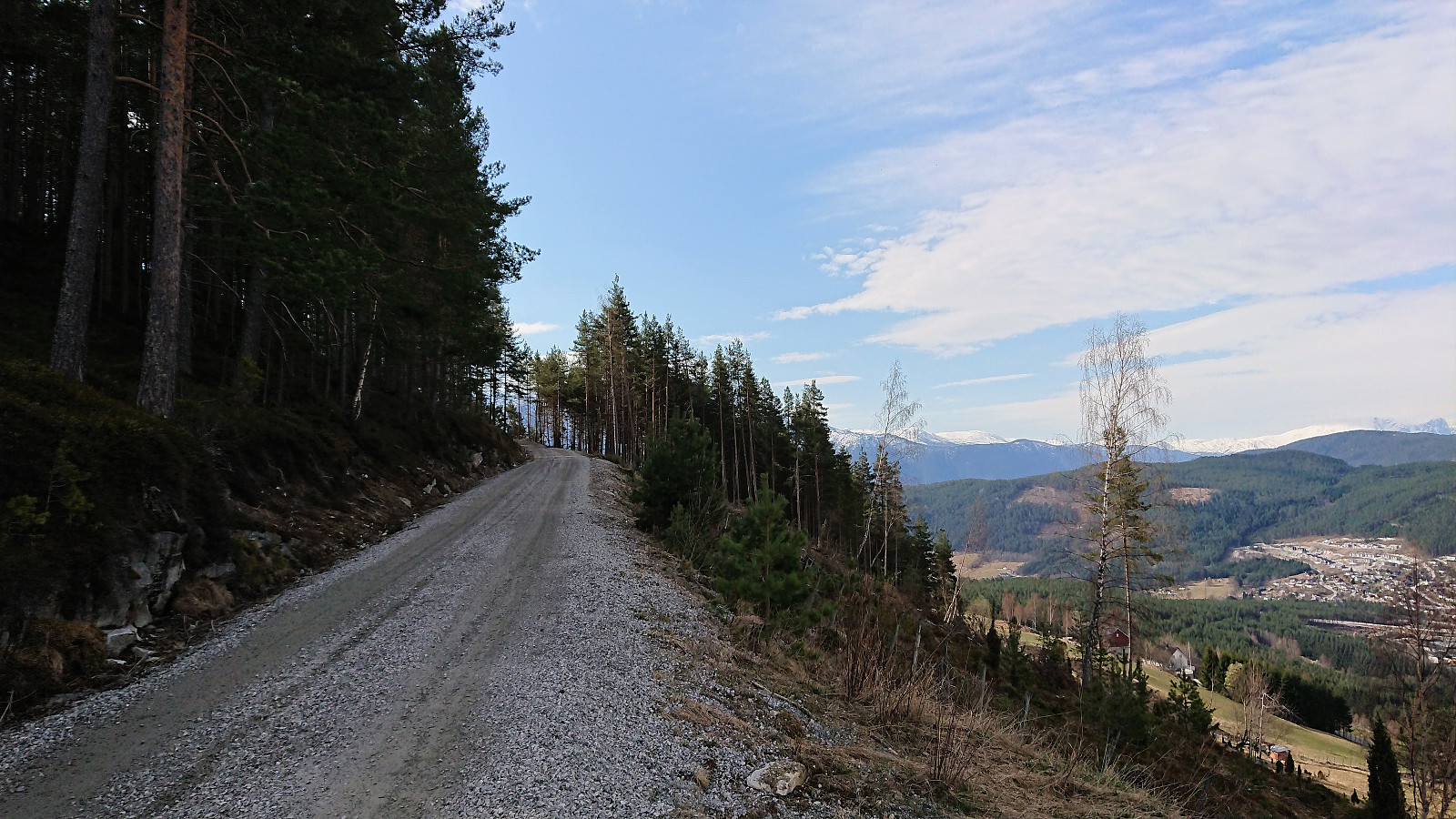
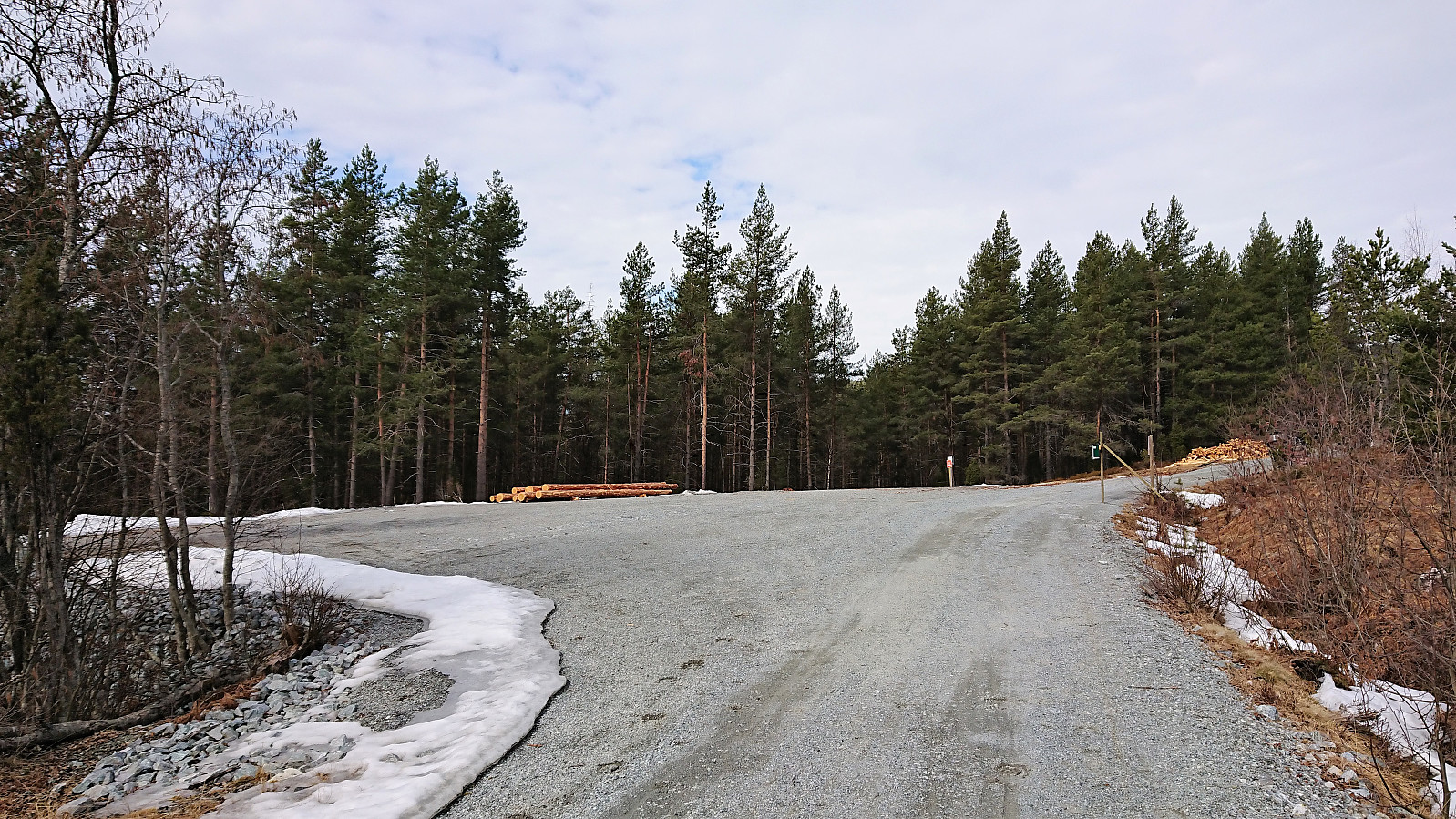
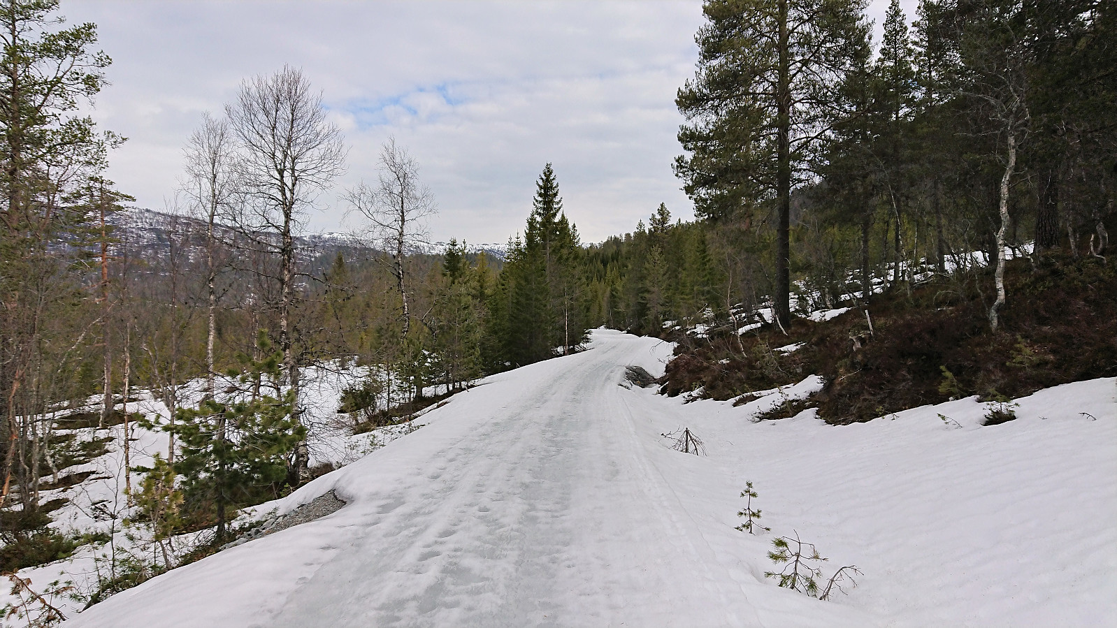

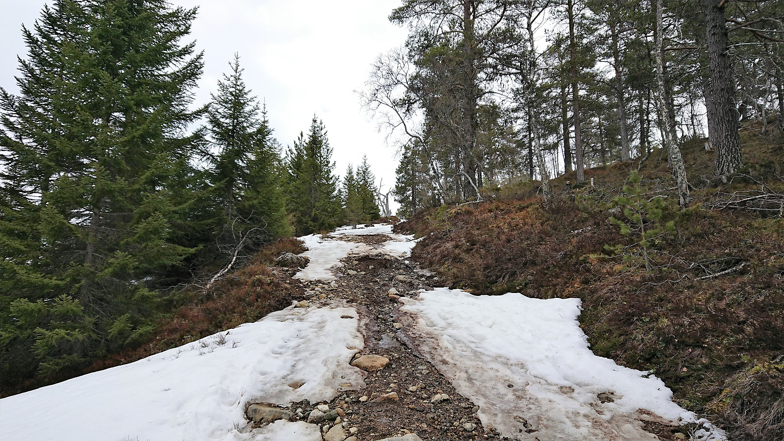
I was dropped off just before the locked gate at Dalåker and continued on foot along the gravel road. No snow at all until after the parking lot at Goro, and then only in shorter stretches consisting of more wet soft ice than snow. I did however put on the skis for a short time before reaching the trailhead for Store Haugmelen, but there the skis had to come off again as the start of the trail was completely void of snow. Soon there would be snow mixed in with the wet dirt, but it would take several hundred meters until I could finally put the skis back on for good, with only a couple of short stretches where walking was required.
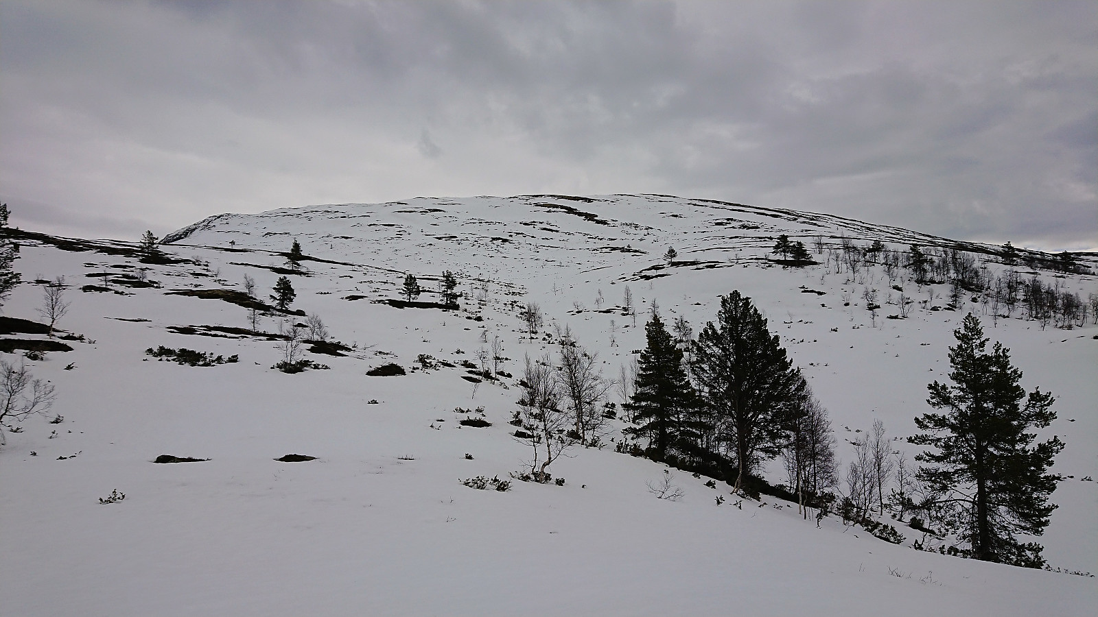
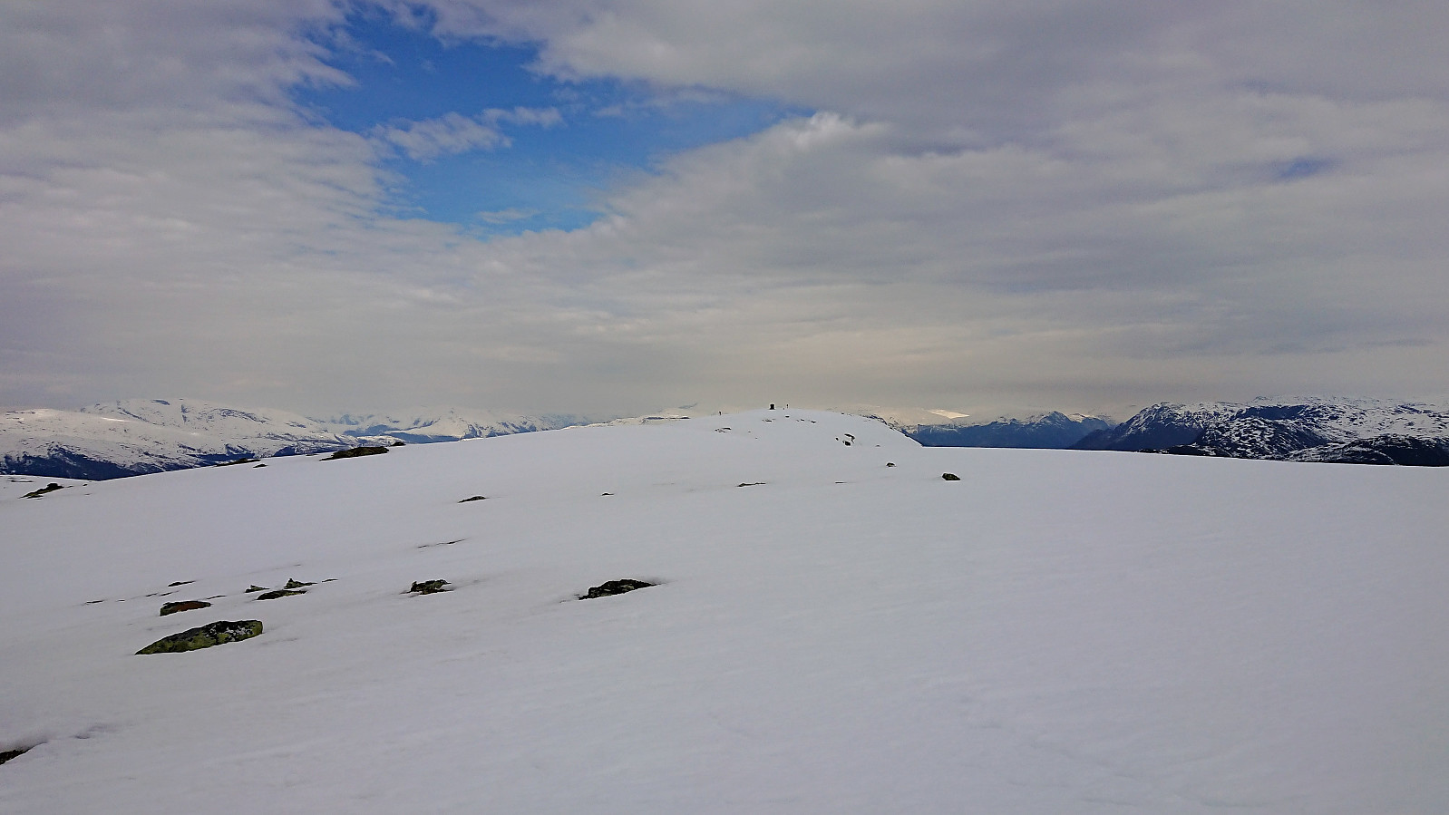
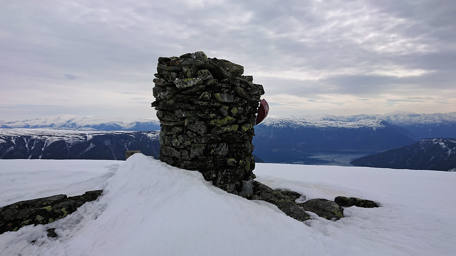
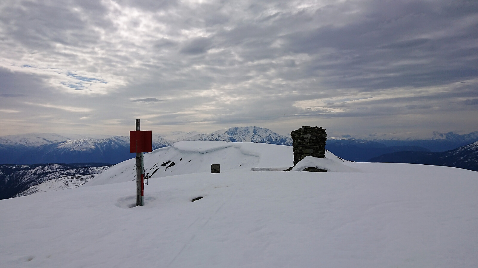
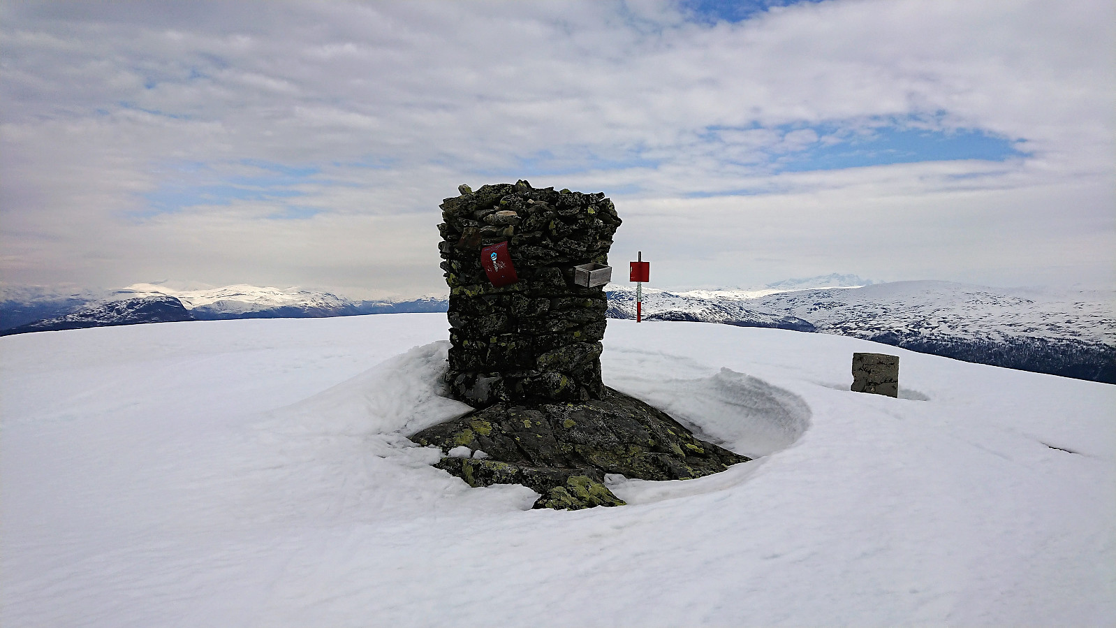
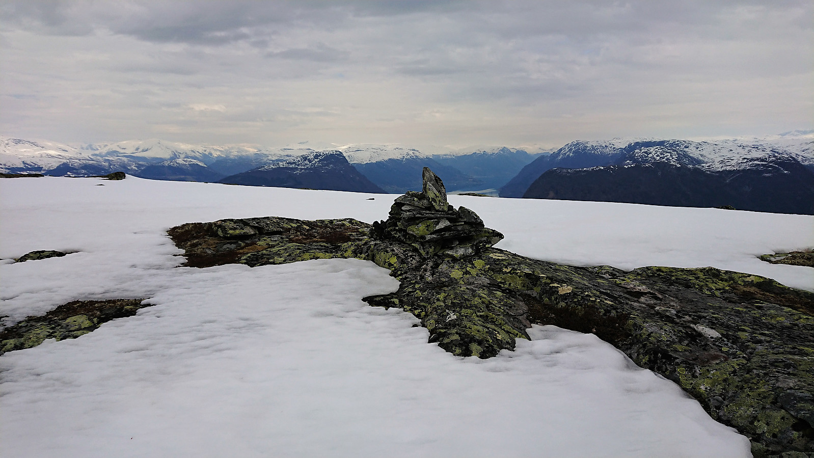
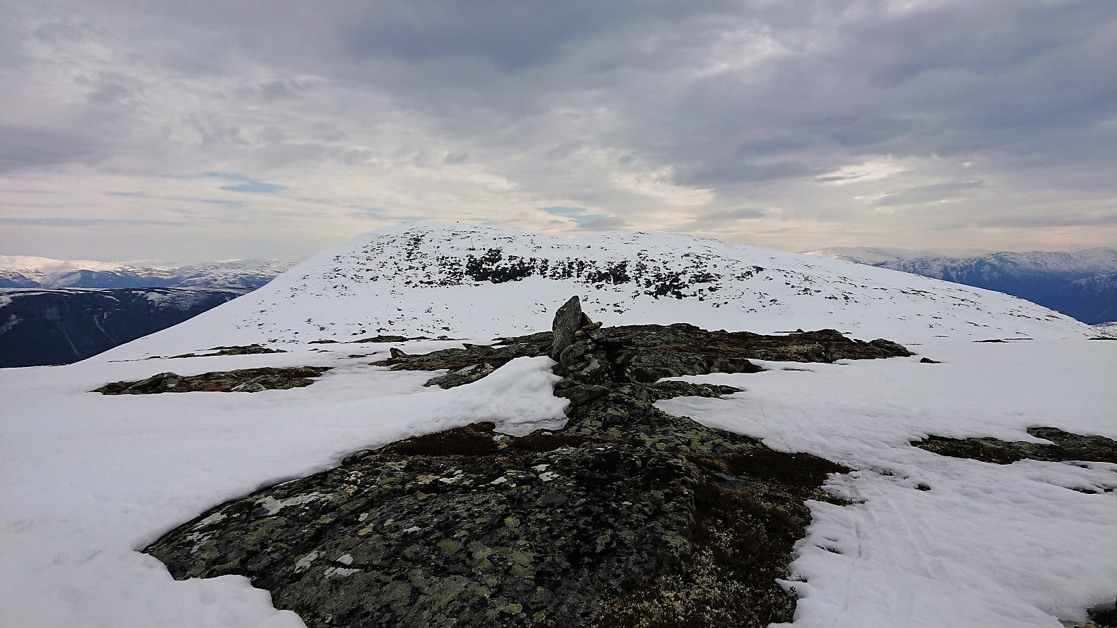
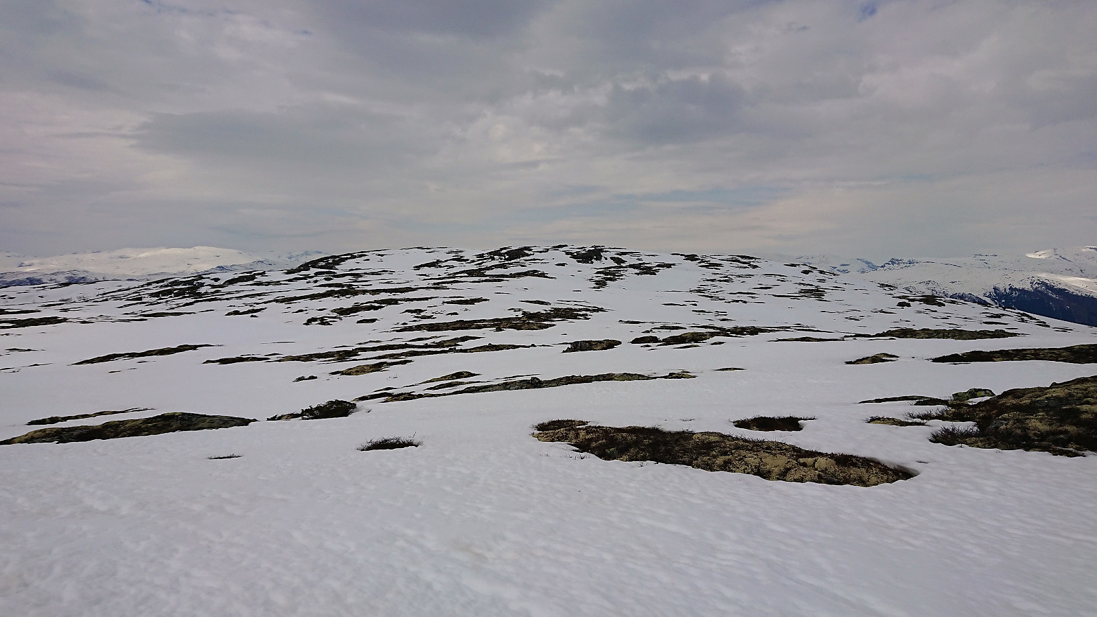
Given the low amounts of snow, I decided to follow the summer route via Vassløysa instead of the longer ascent via the ridge from the south. This was also where all the old tracks were leading. I first visited the 1169 hill, before following the ridge north to the main summit. Due to rather poor visibility because of the gray weather, the final small descent was trickier than expected, as I could not easily judge the steepness. But it turned out not to be steep at all, clearly not even worth thinking about on days with better visibility. The summit provided excellent views, although limited by the weather.
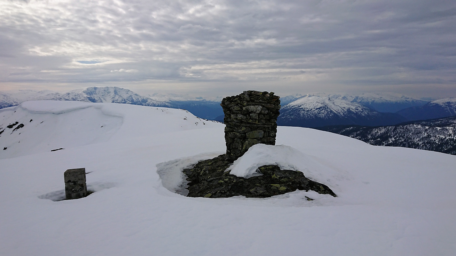
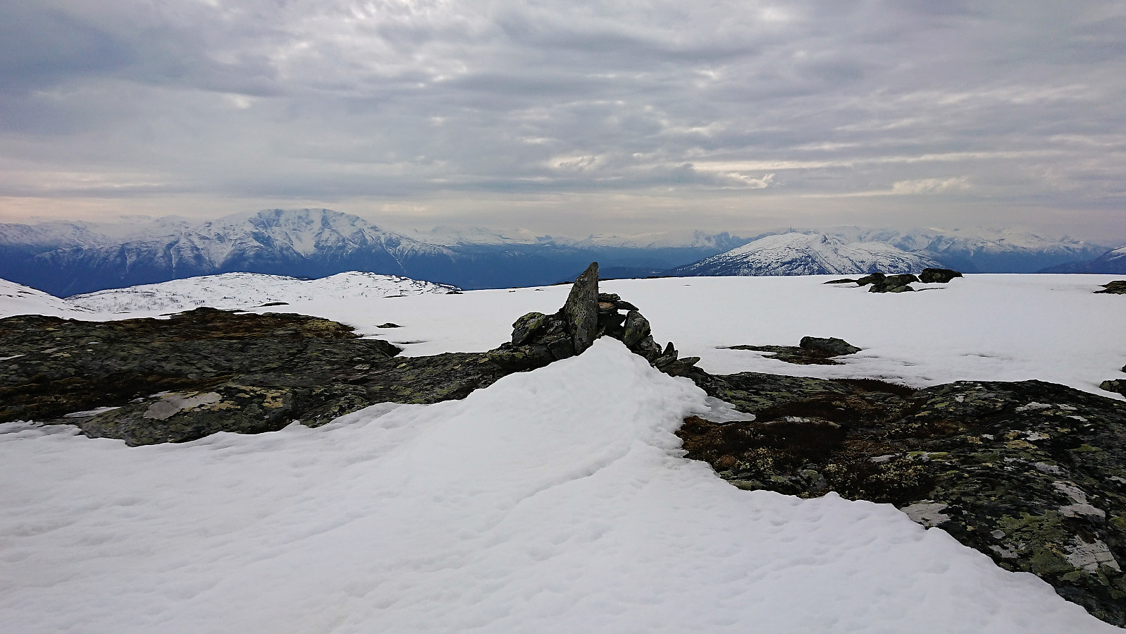
My initial plan had been to continue north along the ridge and from there ascend directly to Vetle Haugmelen. But with the poor visibility this was no longer an option, and I instead returned southwest, avoiding the steepest sections, before ascending Vetle Haugmelen from the south. Excellent views here as well, but again limited compared to a sunny day.
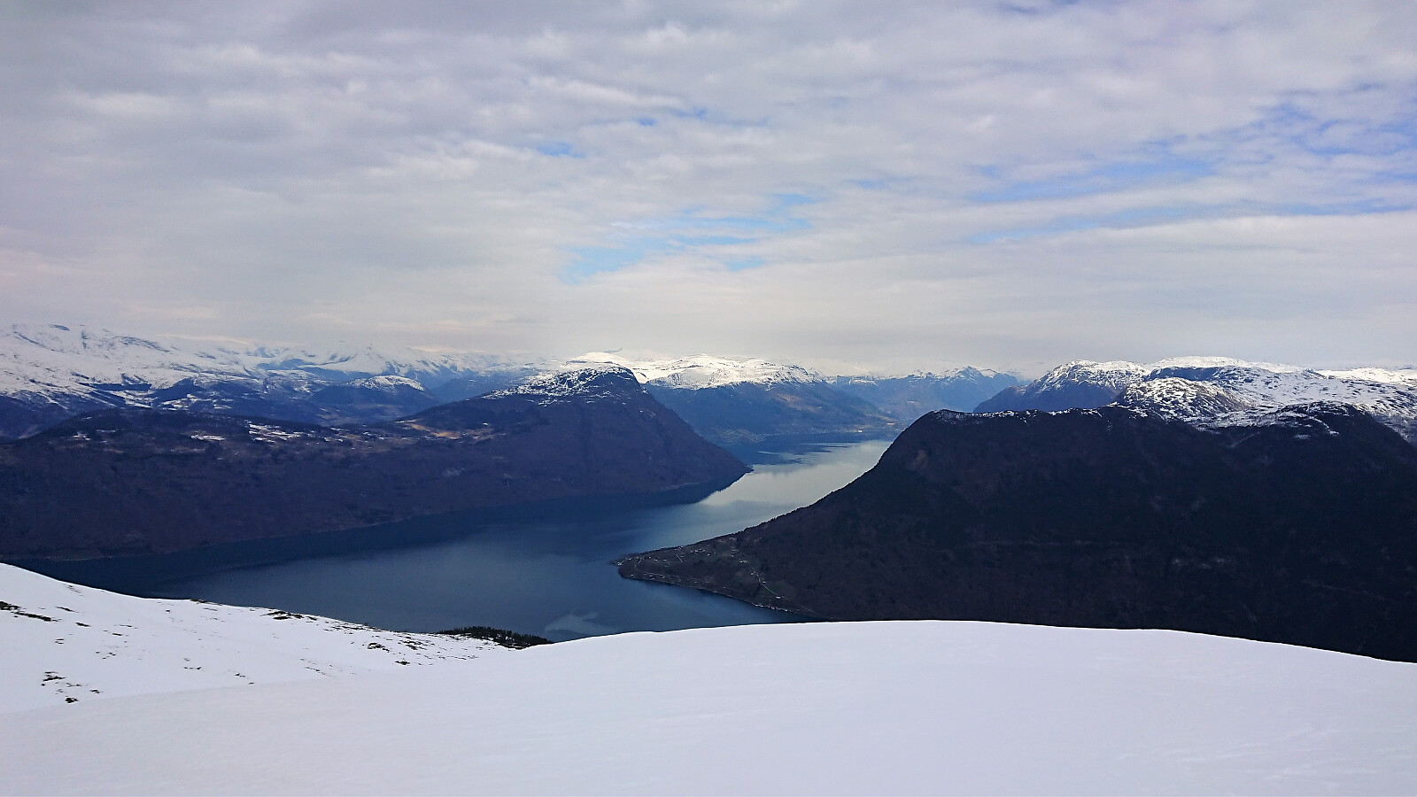
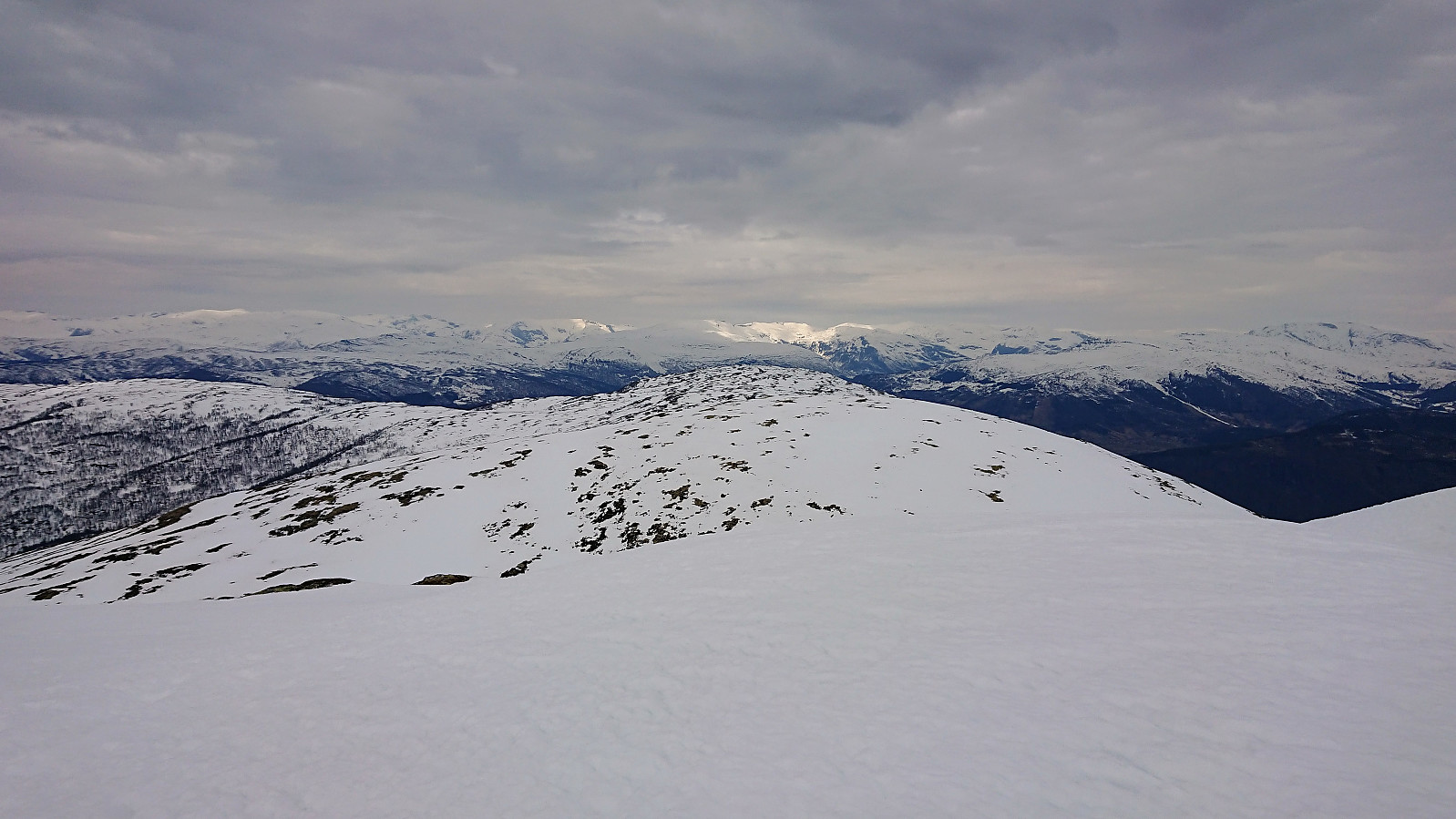
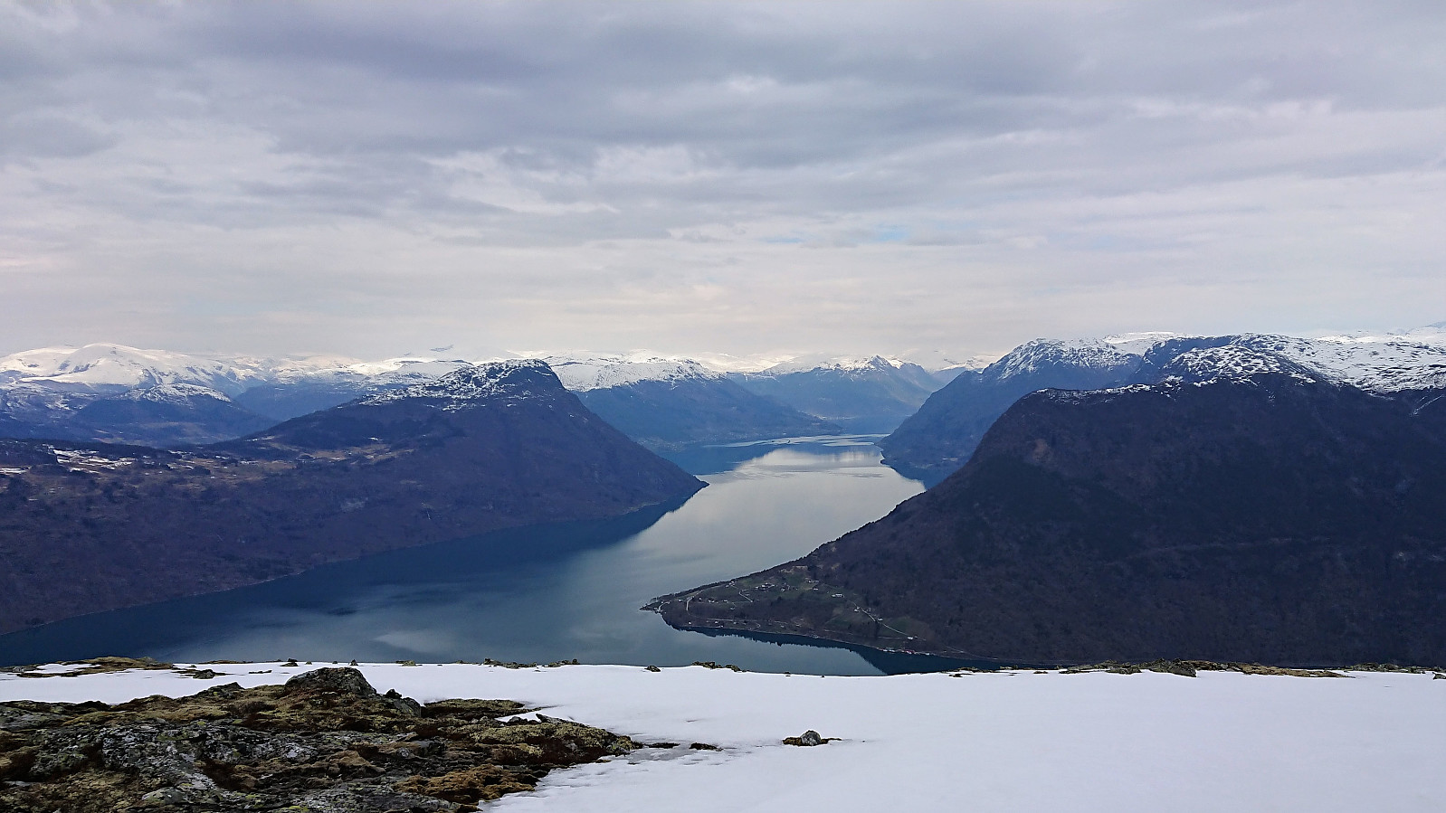
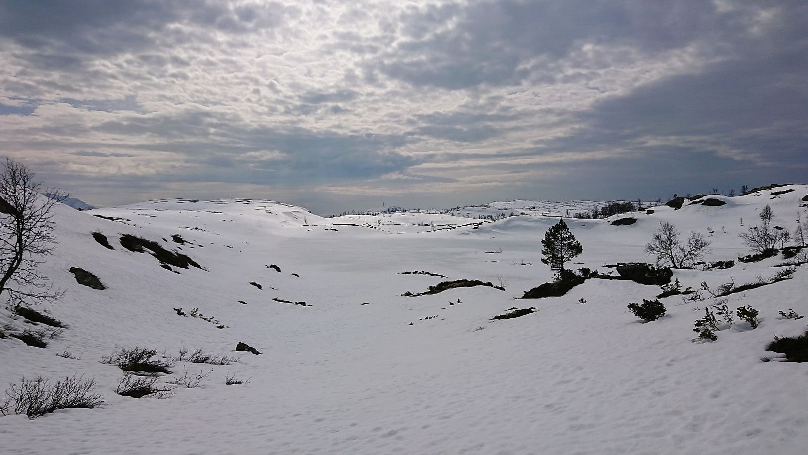
I now had two options: either return south via Vassløysa to Dalåker, knowing that I would again have to carry the skis all along the gravel road, or continue west to Helgasete for a descent to Barsnesfjorden. In the end, the latter seemed like the best and most interesting choice, and I therefore started west in the direction of Prestavatnet, making good progress even though there were plenty of patches without any snow that had to be avoided.
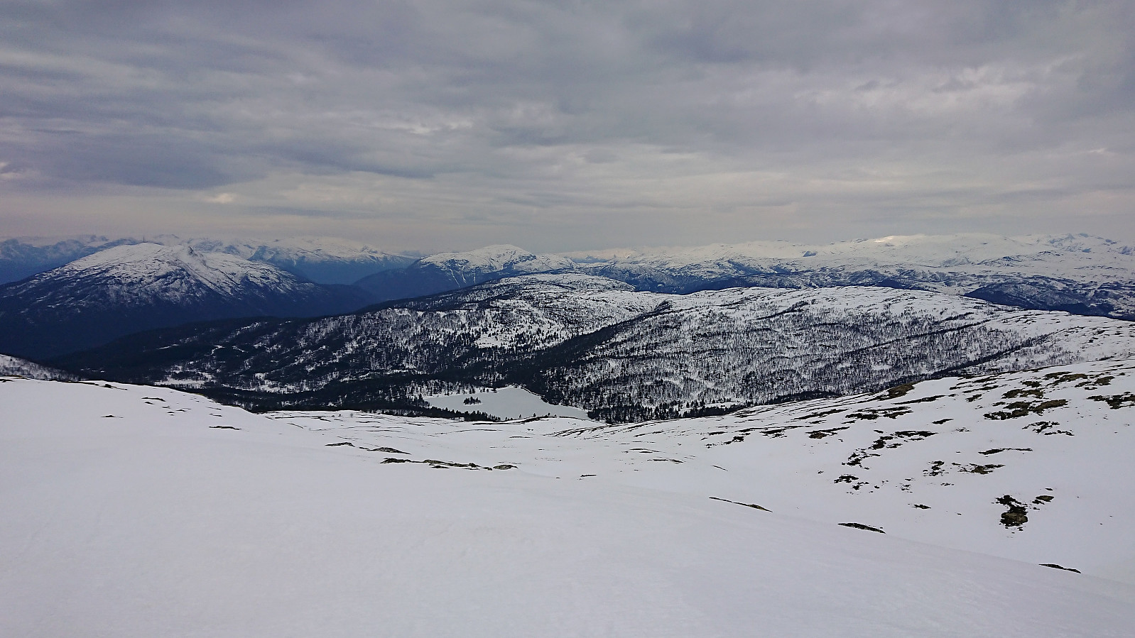
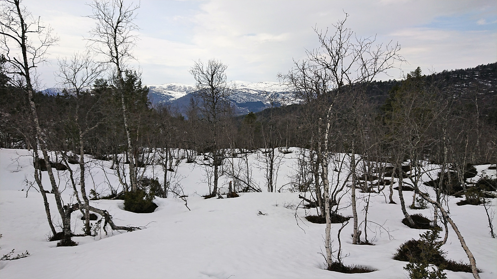
From Prestavatnet I followed the valley towards Helgasete, initially enjoying excellent skiing conditions, but within not too long I ended up in areas with too many trees to ski easily. At a couple of occasions, I opted for taking off the skis, but given that walking in the deep snow was challenging as well, I always put the skis back on as soon as possible. (In hindsight, I probably should have gone for the southern part of Sigledalen instead of the northern, but I’m not sure if it would have made a big difference.)
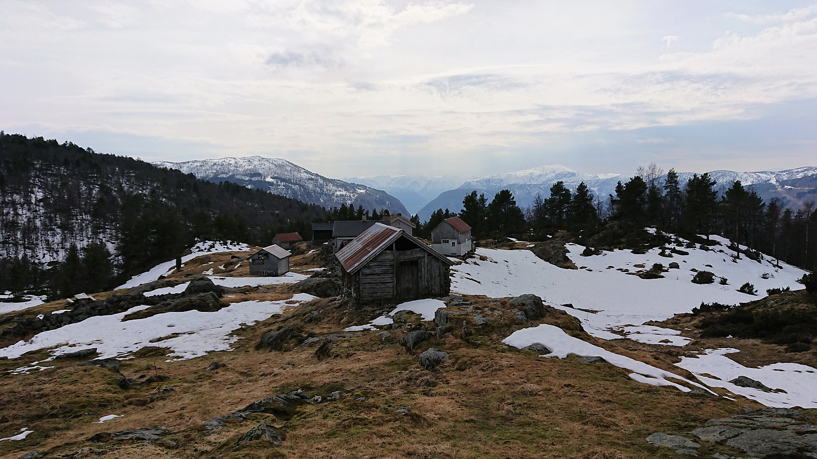
The skis finally came off for good as I got close to Helgasete, as here there was simply not enough snow to continue. After a long break at Helgasete, I continued on foot down to Barsnesfjorden, for the most part on a snow-less trail, and concluded the trip by walking to Barsnes along the fjord. Overall an excellent trip that can be highly recommended, although skiing in Sigledalen between all the trees is definitely an acquired taste.
| Start date | 20.04.2019 10:47 (UTC+01:00 DST) |
| End date | 20.04.2019 17:48 (UTC+01:00 DST) |
| Total Time | 7h 01min |
| Moving Time | 5h 46min |
| Stopped Time | 1h 15min |
| Overall Average | 3.4km/h |
| Moving Average | 4.1km/h |
| Distance | 23.9km |
| Vertical meters | 1,141m |

User comments