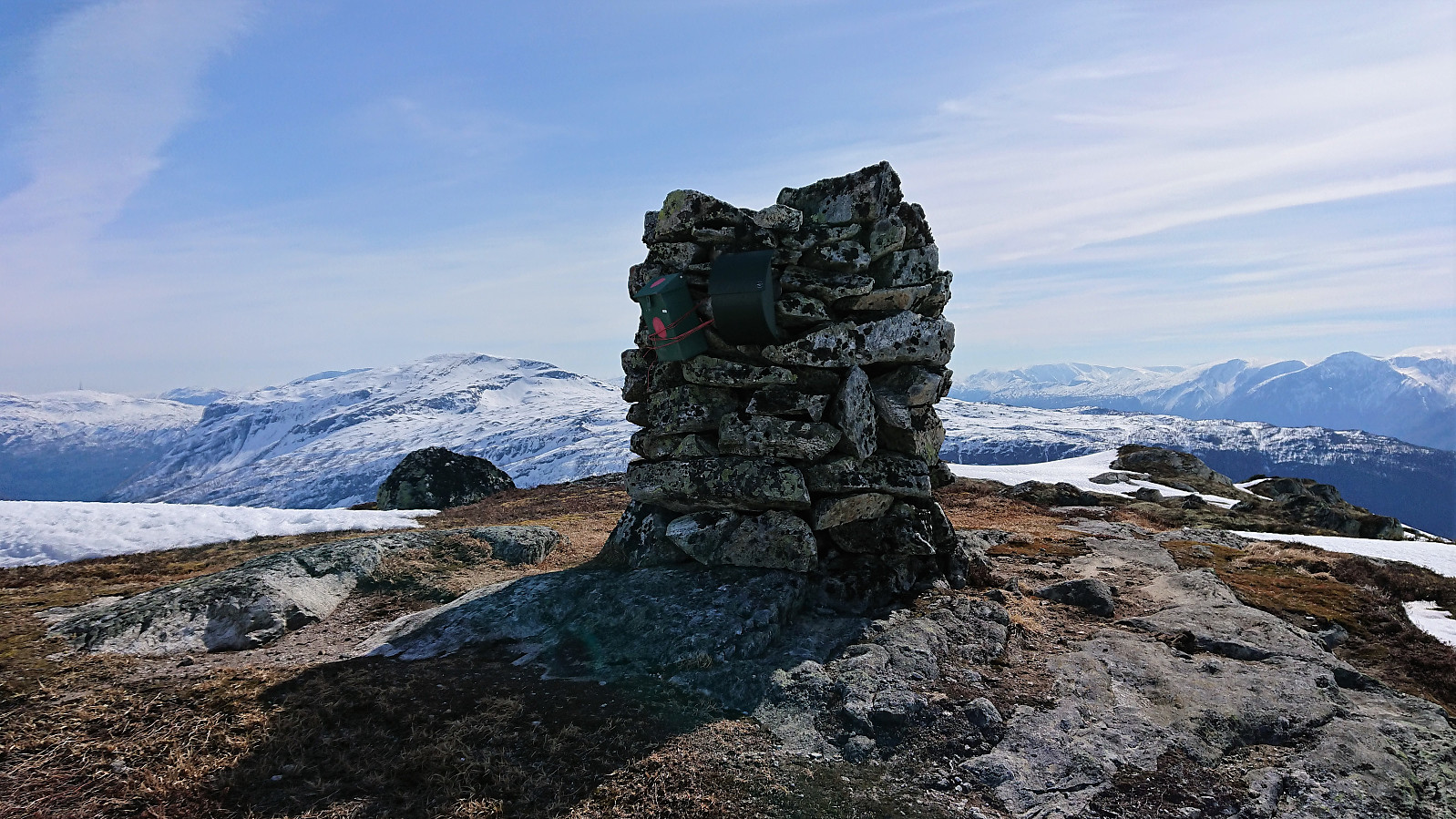
Lusaskard (19.04.2019)

| Start point | Rindabotn (599m) |
|---|---|
| Endpoint | Rindabotn (599m) |
| Characteristic | Backcountry skiing |
| Duration | 4h 36min |
| Distance | 21.6km |
| Vertical meters | 824m |
| GPS |
|
| Ascents | Lusaskard (1,004m) | 19.04.2019 |
|---|---|---|
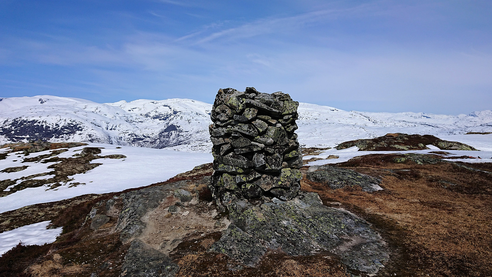
| Visits of other PBEs | Høgehaug (978m) | 19.04.2019 |
| Rindabotn p-plass (595m) | 19.04.2019 |
Lusaskard
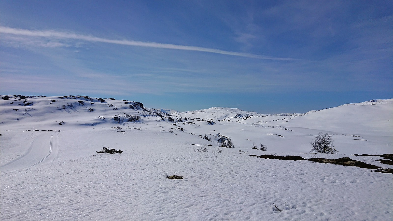
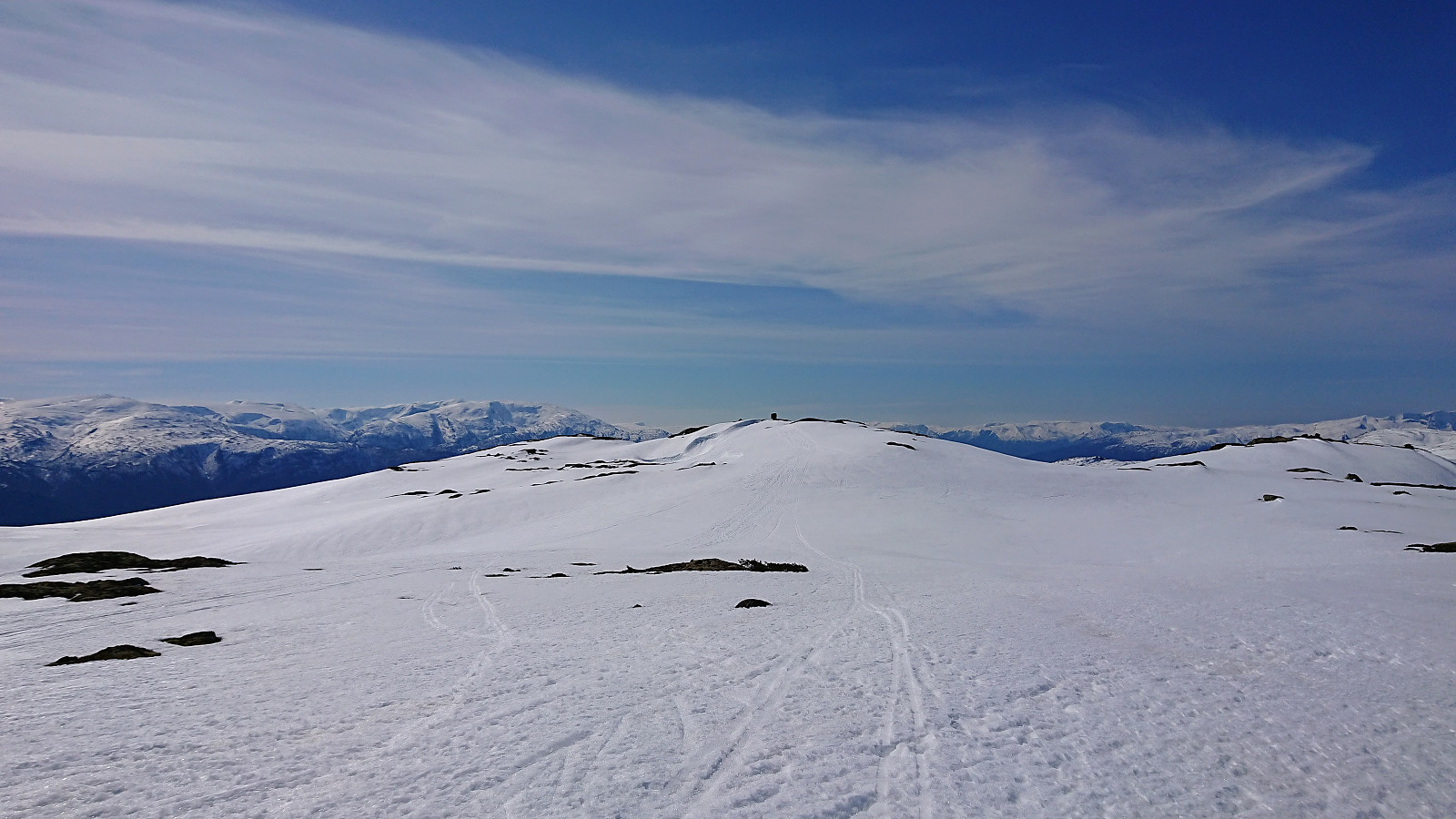
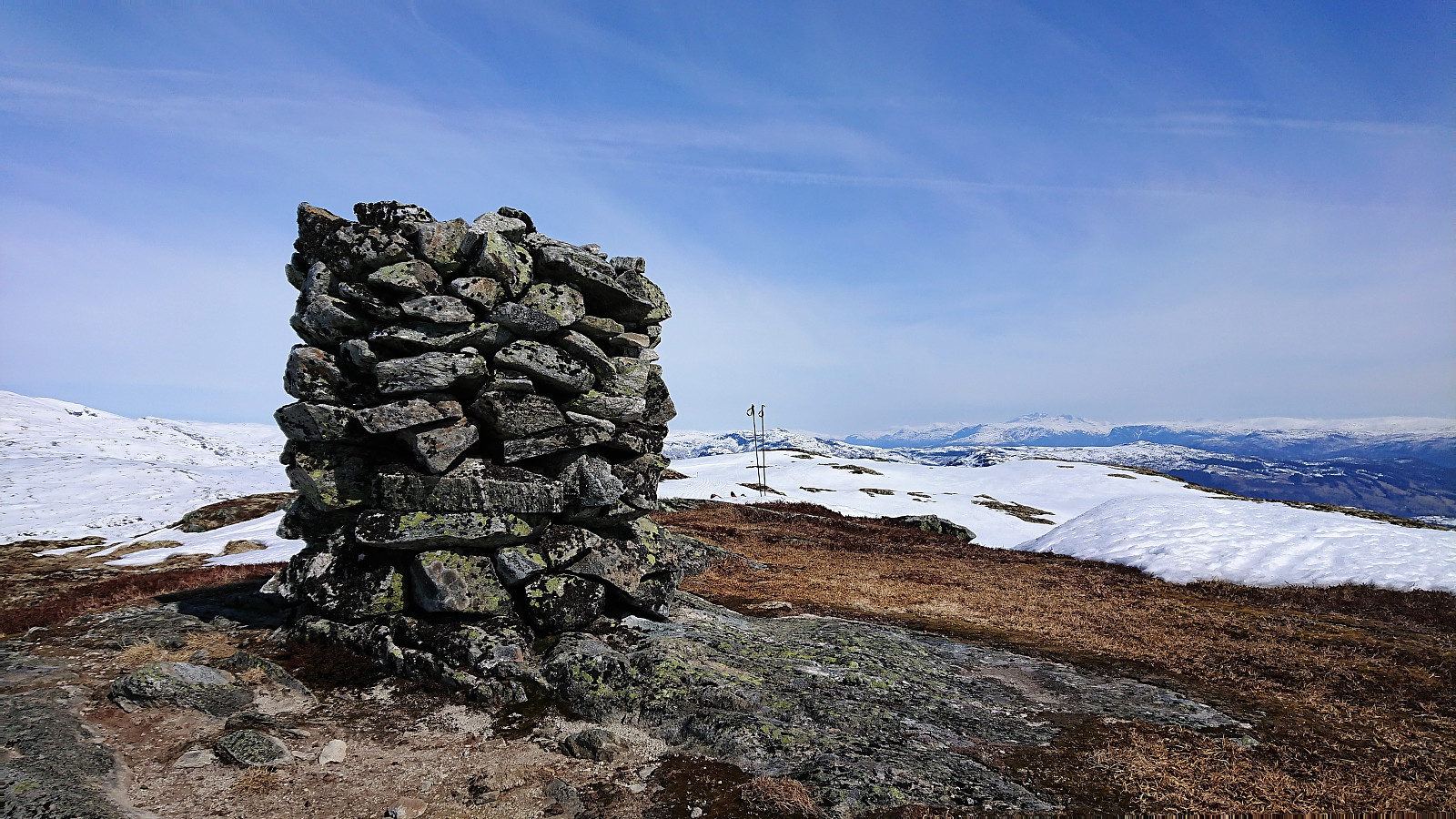
We started by following the marked skiing trail from Rindabotn to south of Fjærlandssetvatnet (with a minor shortcut up to Kollsetevatnet). From there we more or less followed the summer trail towards the summit, with some adjustments along the way. After enjoying the excellent views we returned to the marked trail and passed over Høgehaug on the way back down to Rindabotn.

| Start date | 19.04.2019 10:59 (UTC+01:00 DST) |
| End date | 19.04.2019 15:35 (UTC+01:00 DST) |
| Total Time | 4h 36min |
| Moving Time | 3h 47min |
| Stopped Time | 0h 49min |
| Overall Average | 4.7km/h |
| Moving Average | 5.7km/h |
| Distance | 21.6km |
| Vertical meters | 823m |

User comments