Håhaugen from Andås E39 (16.03.2019)

| Start point | Andås E39 (80m) |
|---|---|
| Endpoint | Andås E39 (80m) |
| Characteristic | Hillwalk |
| Duration | 1h 21min |
| Distance | 3.6km |
| Vertical meters | 295m |
| GPS |
|
| Ascents | Håhaugen (290m) | 16.03.2019 |
|---|---|---|
| Visits of other PBEs | Austlendingen p-plass (90m) | 16.03.2019 |
Håhaugen from Andås E39
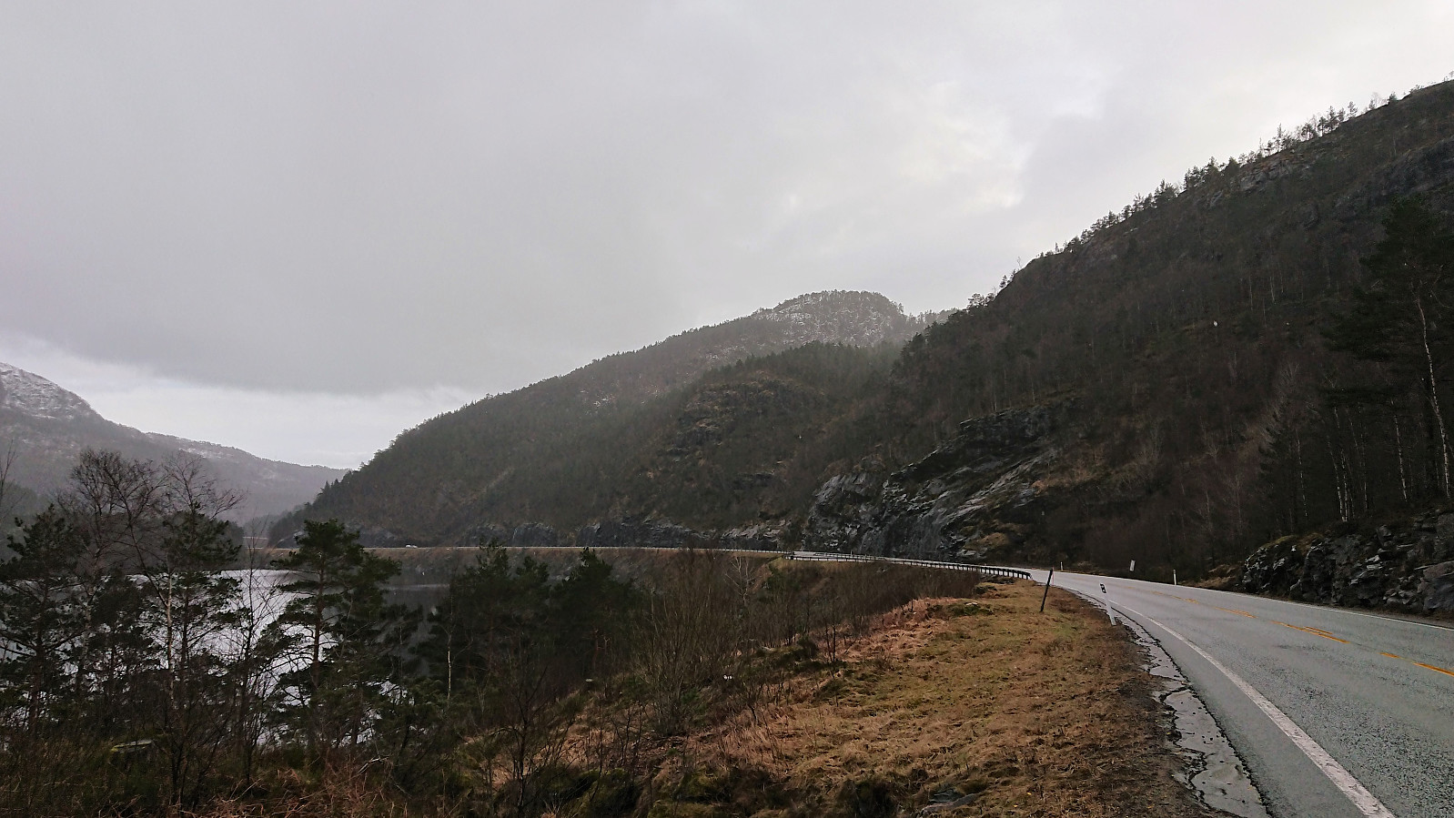
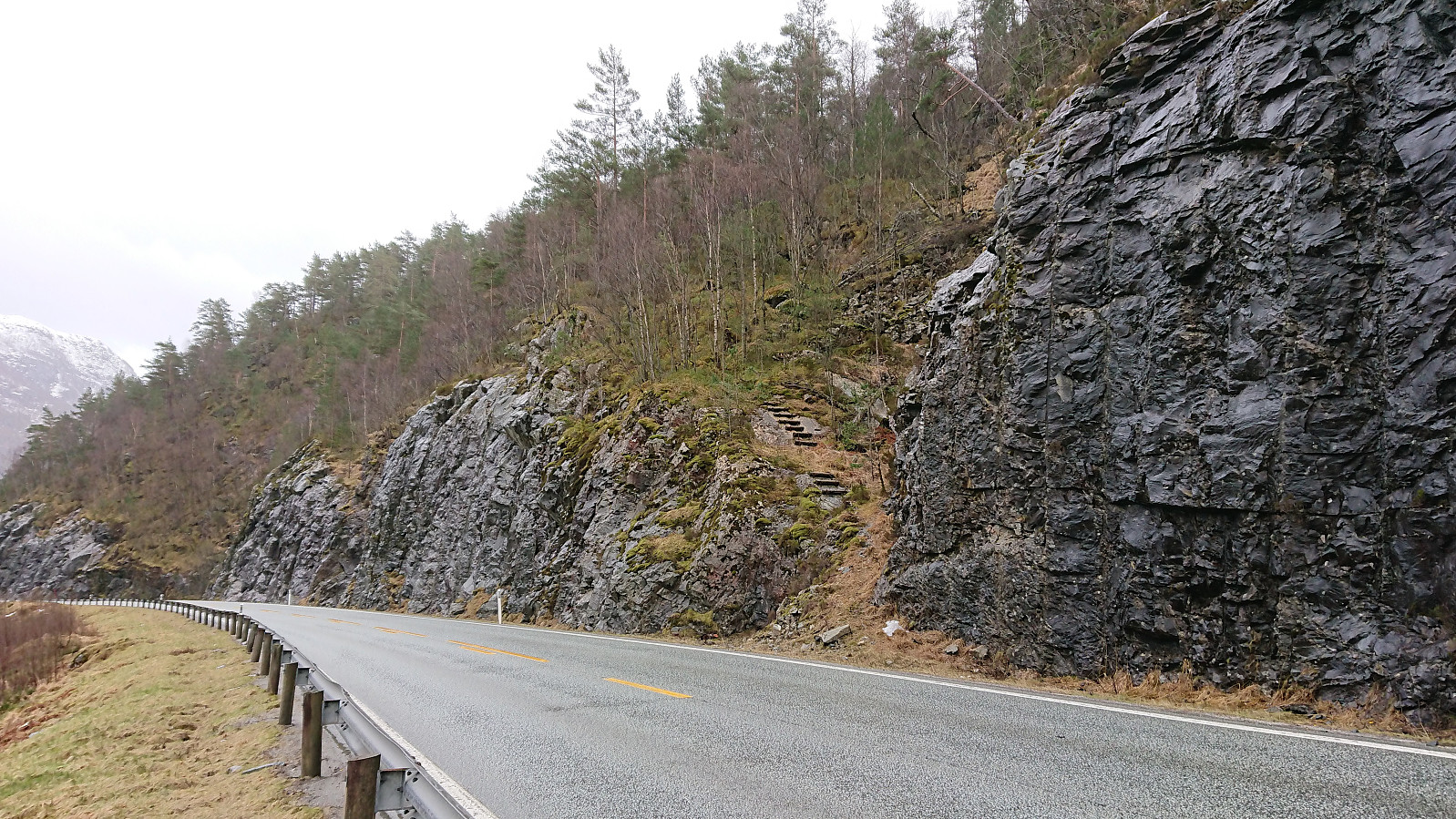
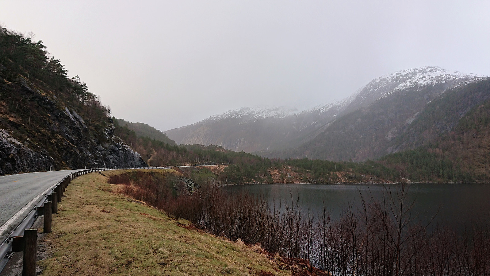
Started by taking the bus (or more correctly buses, as four in total was required) to the crossroads west of Eikefettunnelen (bus stop called “Andås E39”). From there I walked back along the main road towards the known trailhead for Håhaugen. Thankfully there was plenty of space on the outside of the guard rails, so I was clearly separated from the high-speed traffic.
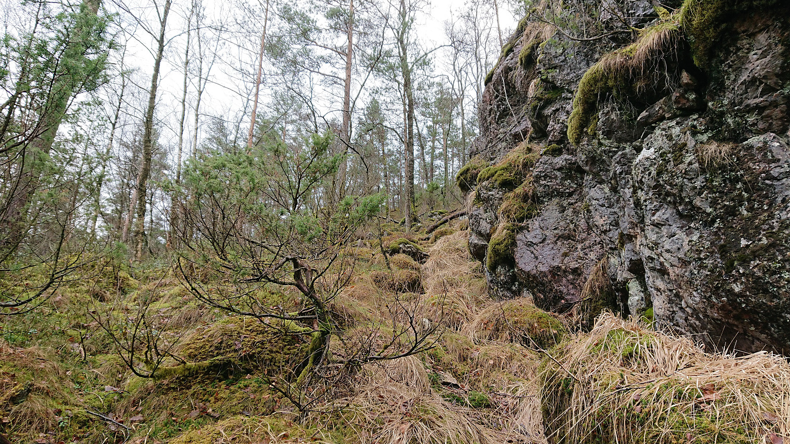
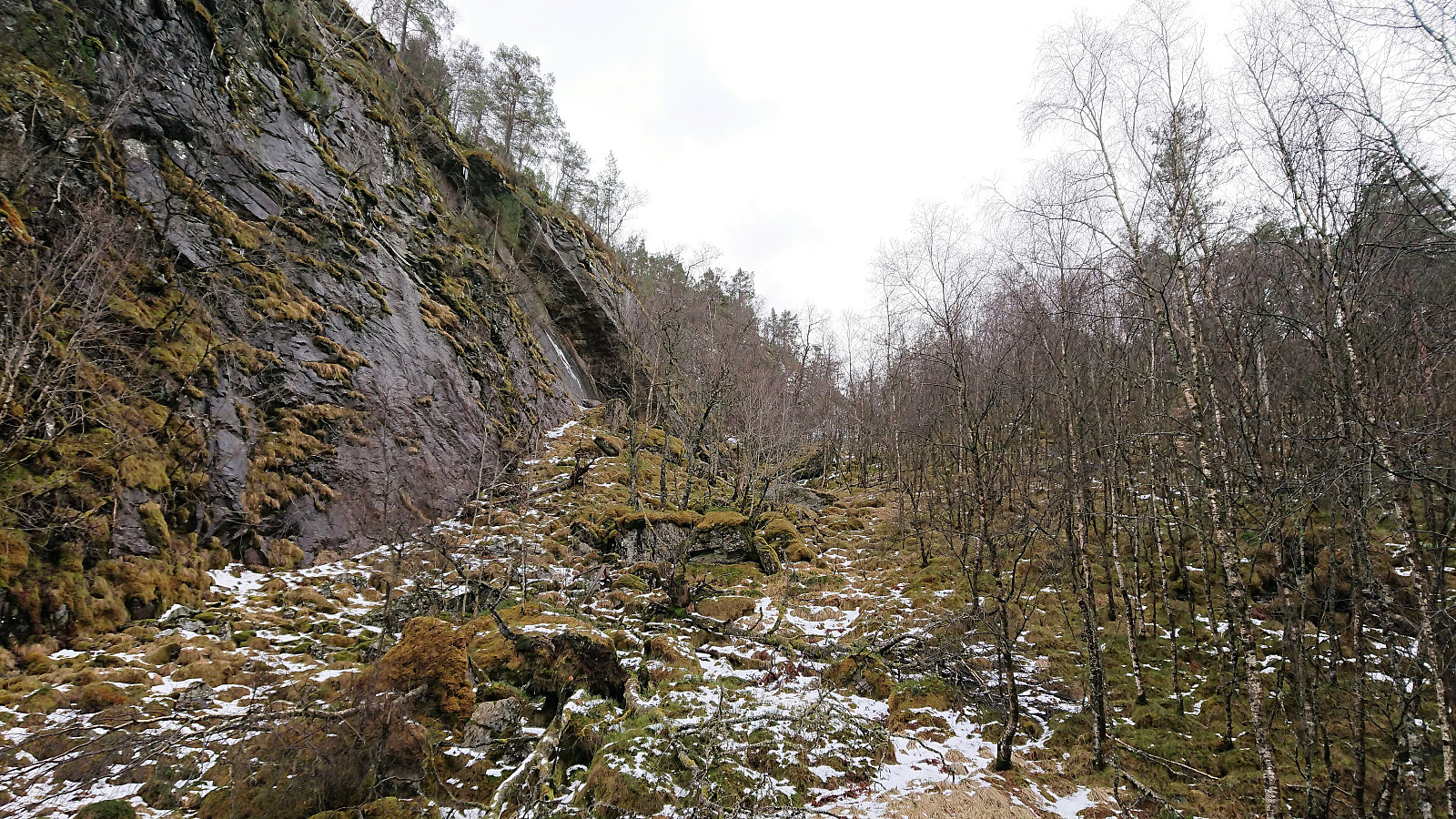
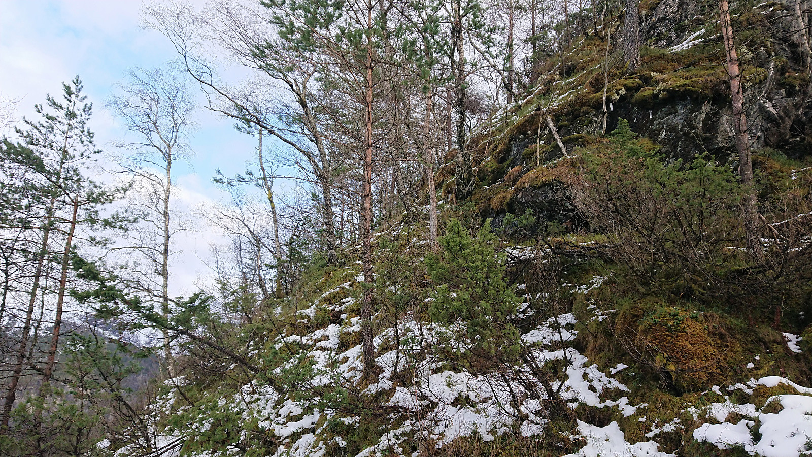
The trailhead was easily located, but as expected the trail quickly disappeared. But it was still straightforward to make progress up the small valley north of the summit. At the top of the valley I located what seemed like the easiest place to ascend, and while relatively steep and requiring light climbing, it did not provide any real difficulty, except for one spot where the snow was extra slippery.
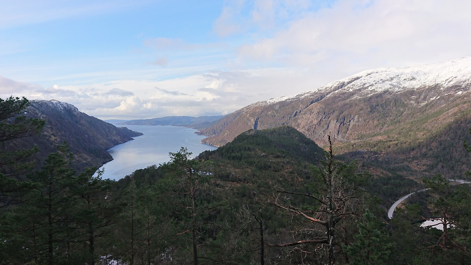
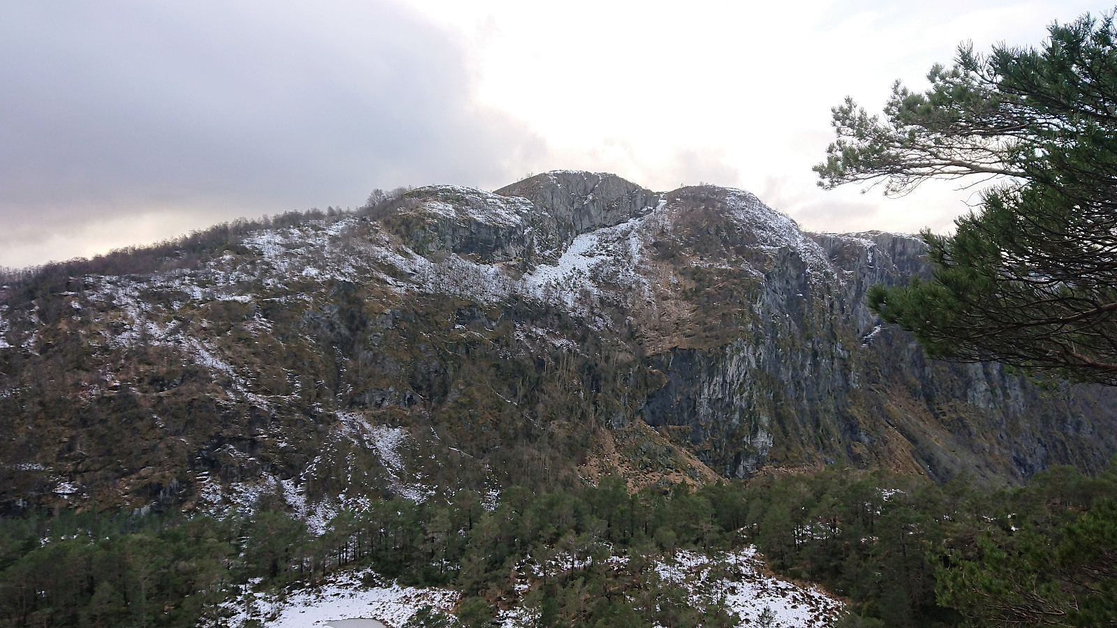
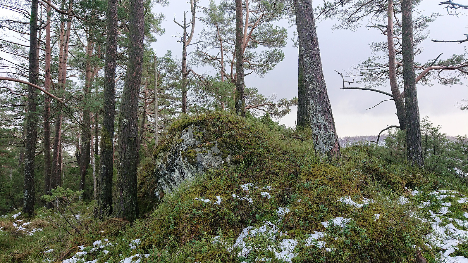
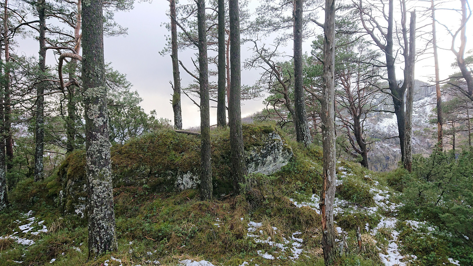
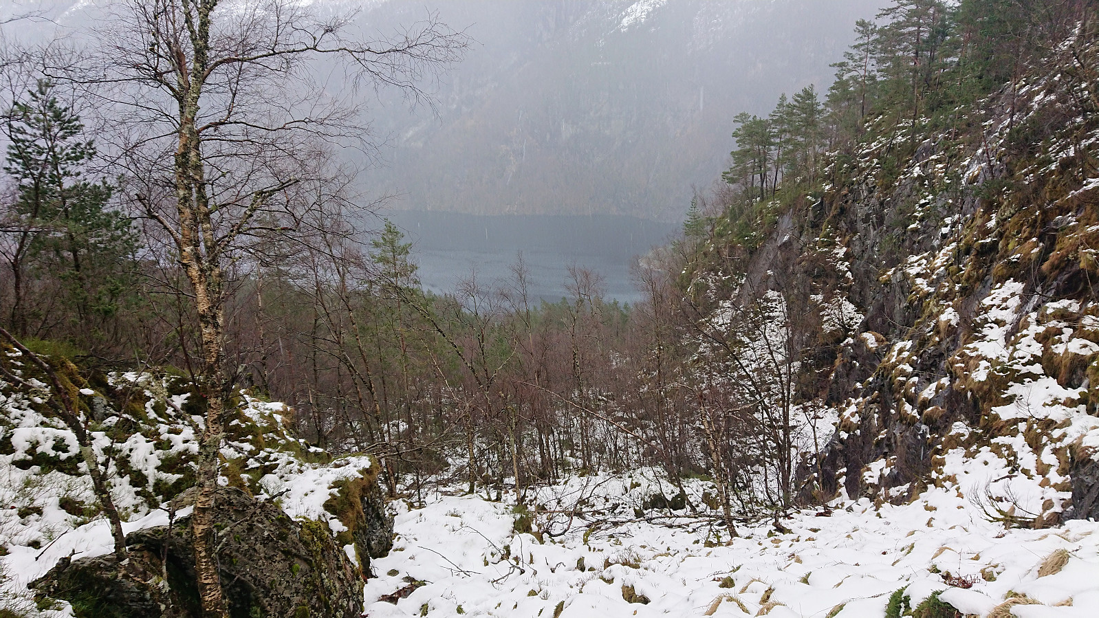
From there on it was however easy to reach the summit, which as expected provided limited views. The best views where obtained north of the summit, although Vindeggene could also be spotted from northwest of the summit. I did not stay long before starting my descent, following more or less the same route back down to the main road.
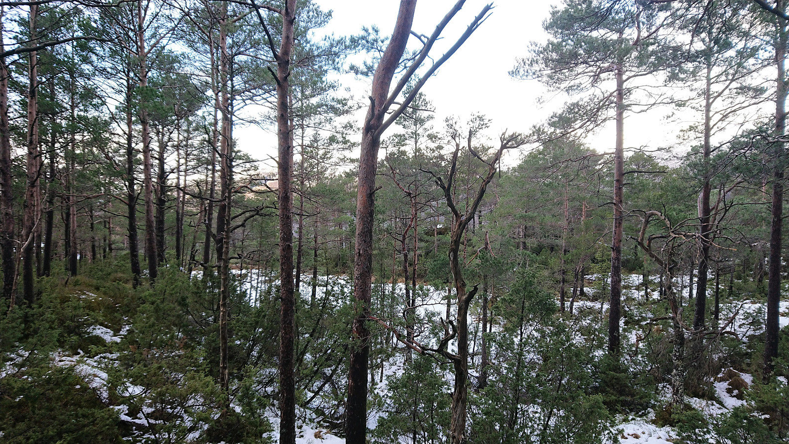
The hike was concluded by walking along the road back to the bus stop, getting there with plenty of time to spare for the planned bus(es) back to Bergen. Overall, this hike was more or less as expected, but I’m pretty sure Håhaugen does not get many visitors, and I’d be very surprised if anybody feels the need to visit more than once.
| Start date | 16.03.2019 15:26 (UTC+01:00) |
| End date | 16.03.2019 16:47 (UTC+01:00) |
| Total Time | 1h 21min |
| Moving Time | 1h 12min |
| Stopped Time | 0h 9min |
| Overall Average | 2.6km/h |
| Moving Average | 2.9km/h |
| Distance | 3.6km |
| Vertical meters | 295m |

User comments