Almeskila and Snøyo (23.02.2019)

| Startpunkt | Romarheim kryss (42m) |
|---|---|
| Endpunkt | Romarheim kryss (40m) |
| Tourcharakter | Bergtour |
| Tourlänge | 3h 02min |
| Entfernung | 7,6km |
| Höhenmeter | 582m |
| GPS |
|
| Besteigungen | Almeskila (322m) | 23.02.2019 |
|---|---|---|
| Snøyo (395m) | 23.02.2019 |
Almeskila and Snøyo
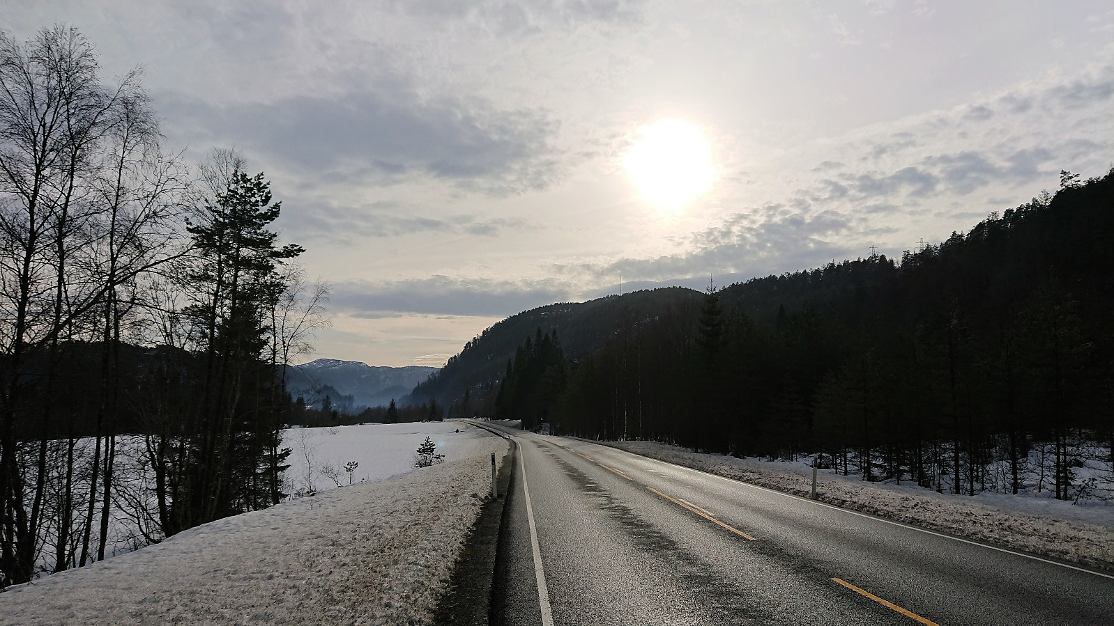
Started by taking the bus to Romarheim (bus stop called "Romarheim kryss E39") and from there walking south along the road to the trailhead for Almeskila. The trailhead was not marked, i.e. no sign with Almeskila, but the trail itself was clearly marked (and was so all the way to the summit).
Already before leaving the bus I had noticed that there was significantly more snow than I had expected (given that pretty much all the snow was gone in Bergen), but I was still surprised when leaving the road and immediately sinking up to above my knees in snow, and thus quickly realizing that this would be a tougher hike than planned.
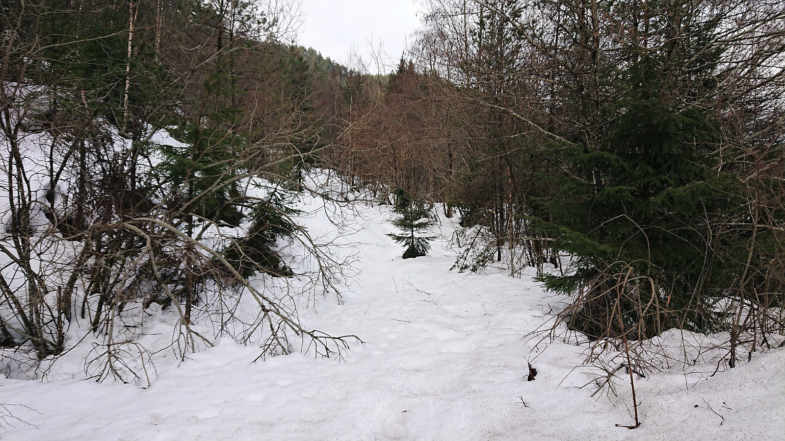
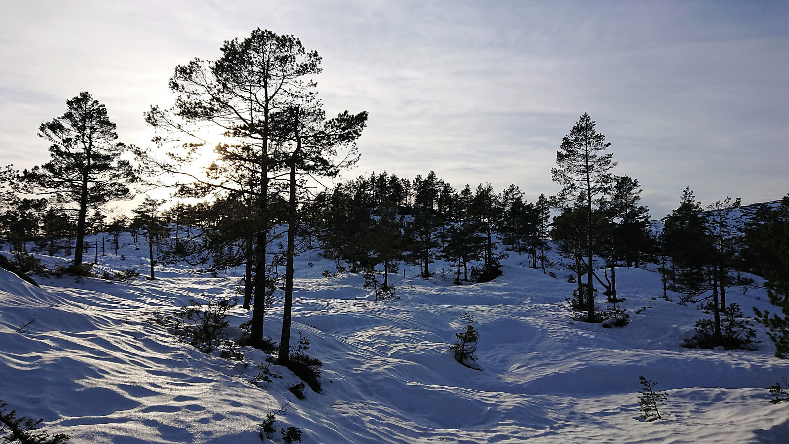
Thankfully the deepest snow only lasted for the first 100 meters and when the trail started climbing it became much easier to make progress with the snow now only reaching up to the top of my boots. The snow was rather wet and there were numerous places where the wet ground was visible through the snow as well.
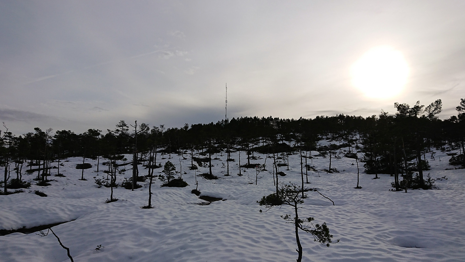
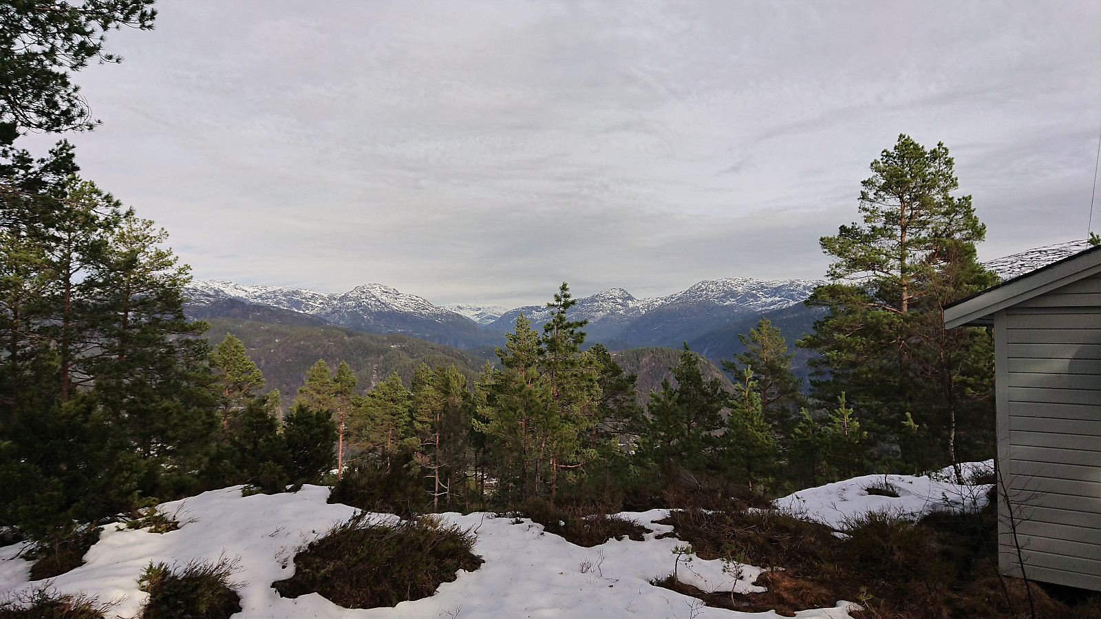
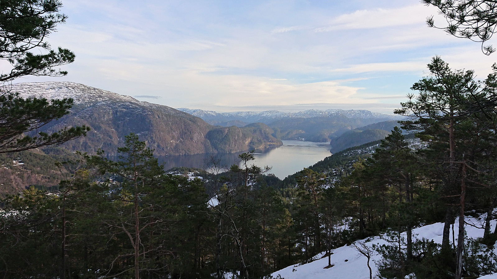
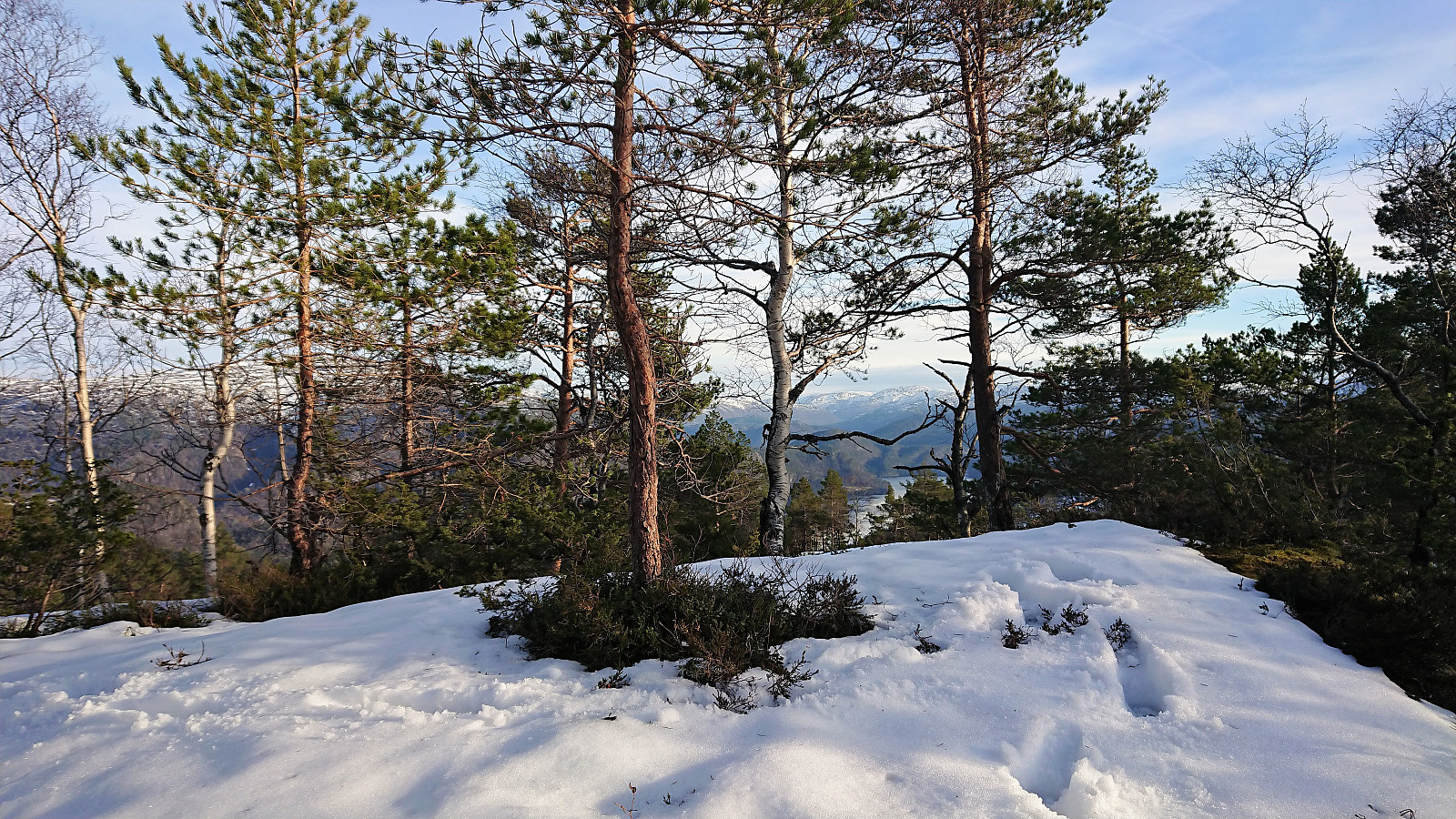
While the wet snow made the progress slower, I still quickly made it to the summit where I could enjoy the rather limited views in between the trees. But I did not stay long before starting to retrace my steps back down toward Austredalen. Given that my next goal was Snøyo, I now had to decide how long to continue the descent before turning north. The direct route was however not an option as it was too steep.
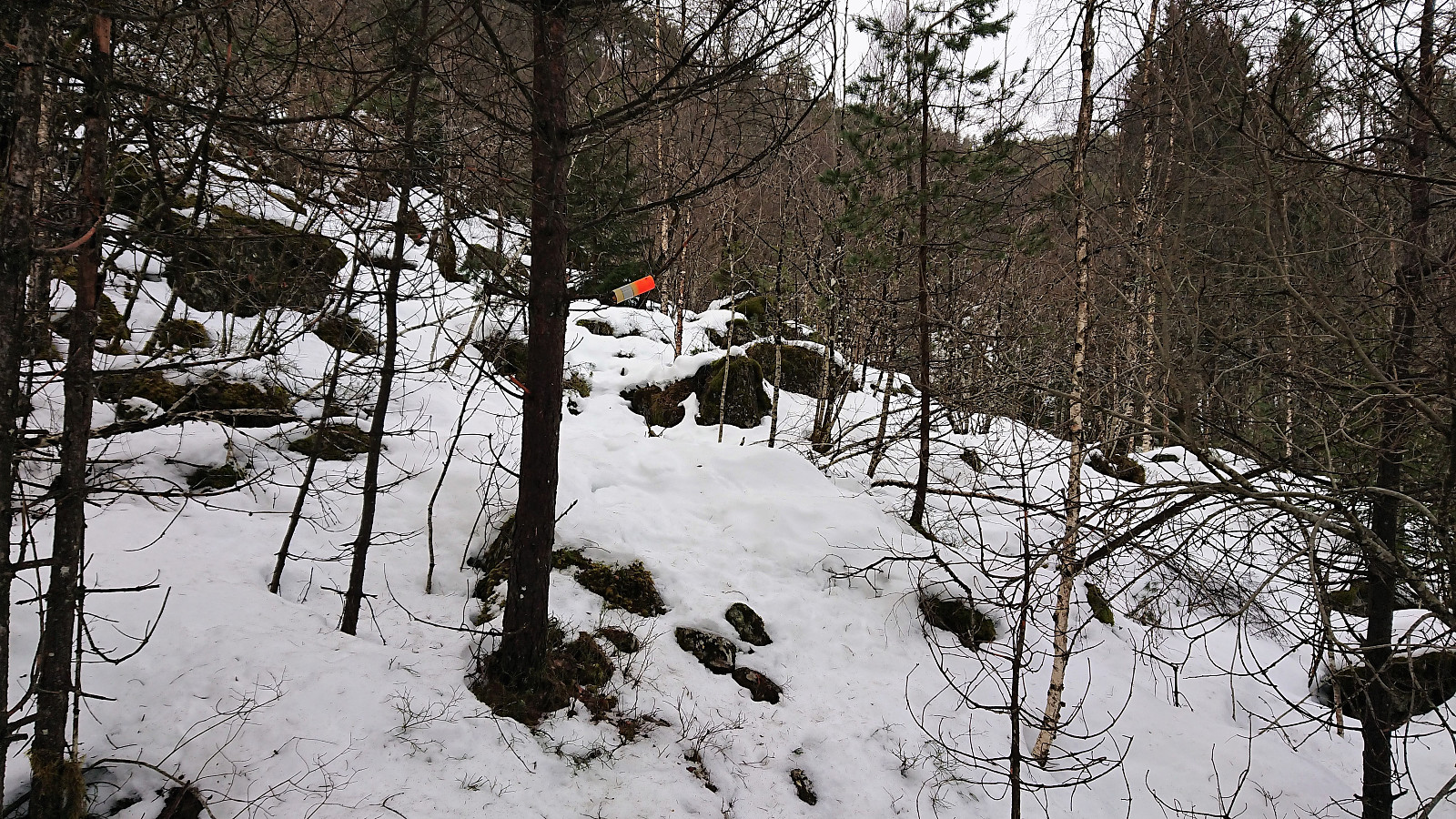
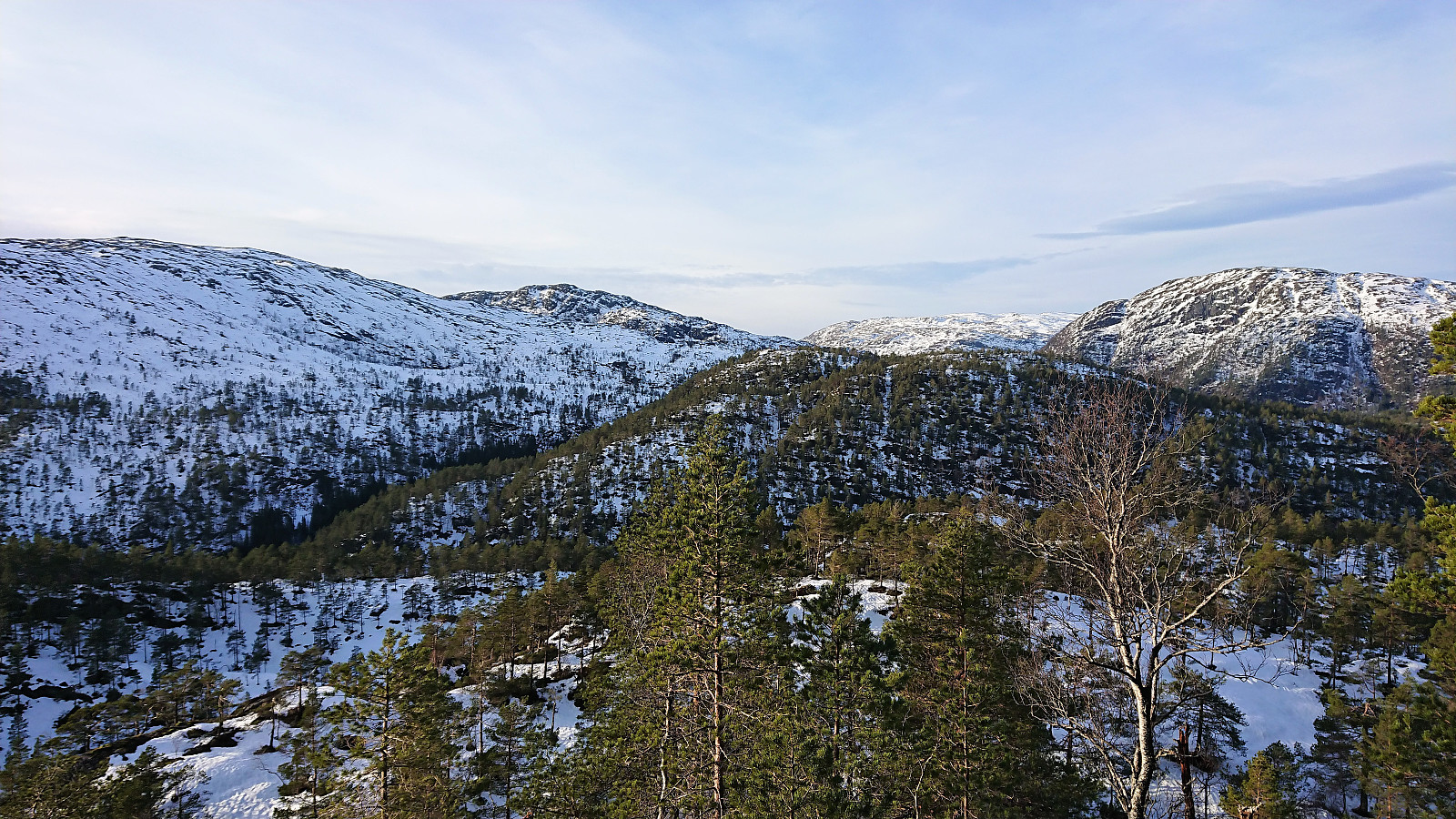
After finally leaving the trail and making my own shortcut down to Austredalen, which, in the chosen location, was steep but unproblematic, I started ascending toward Snøyo. The direct route was again not an option due to the steep terrain, so I had to first get east of the summit before being able to turn west towards the summit.
No trails, and still lots of snow, but overall not too difficult to find a suitable path. Clearly an area that does not see a lot of hikers, but I did come across several deer tracks, and even got a glimpse of one running away as well. To add to the wildlife, I shortly after also startled a big bird. Did not get a good look before it flew off, but could have been a black grouse.
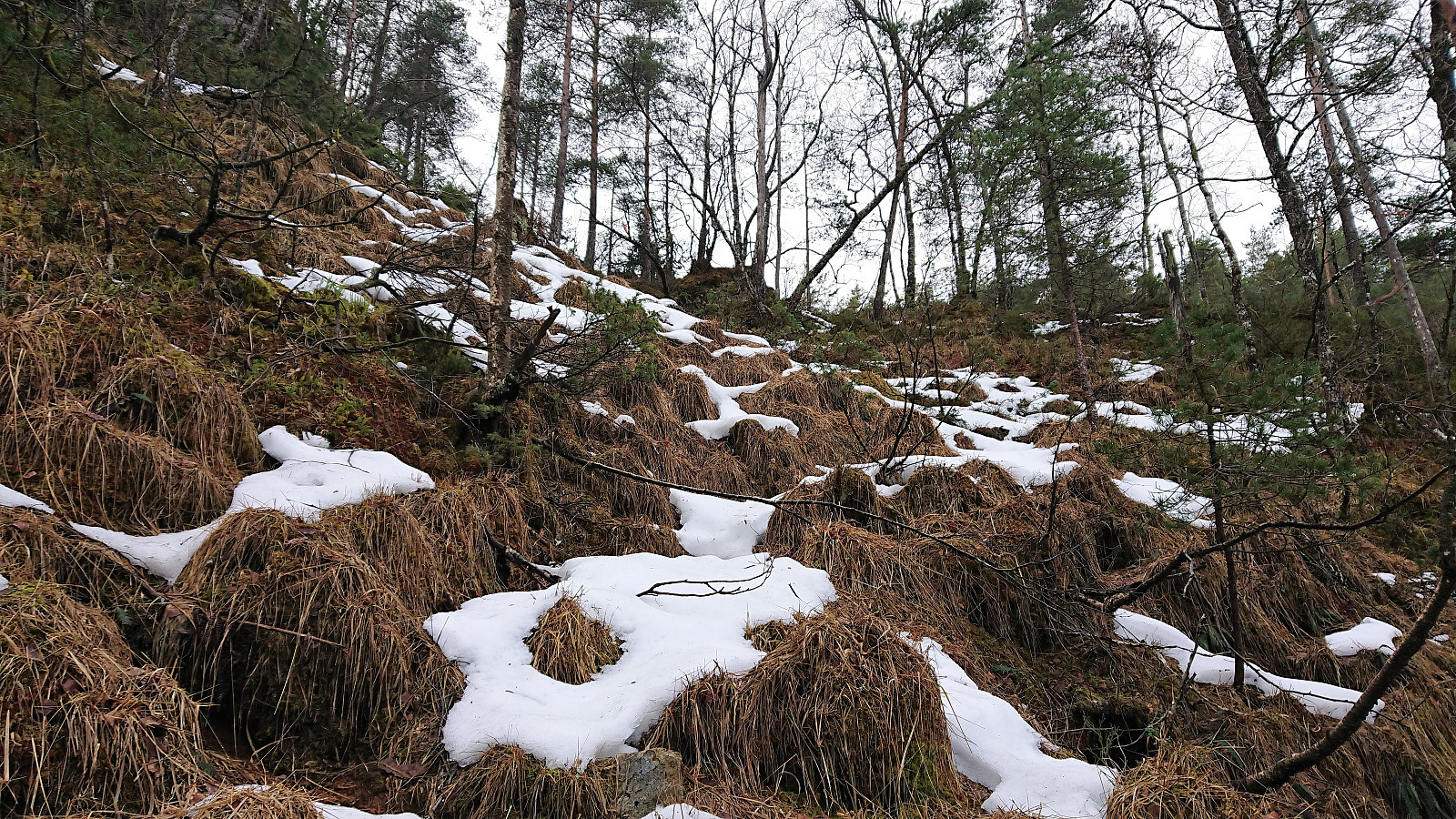
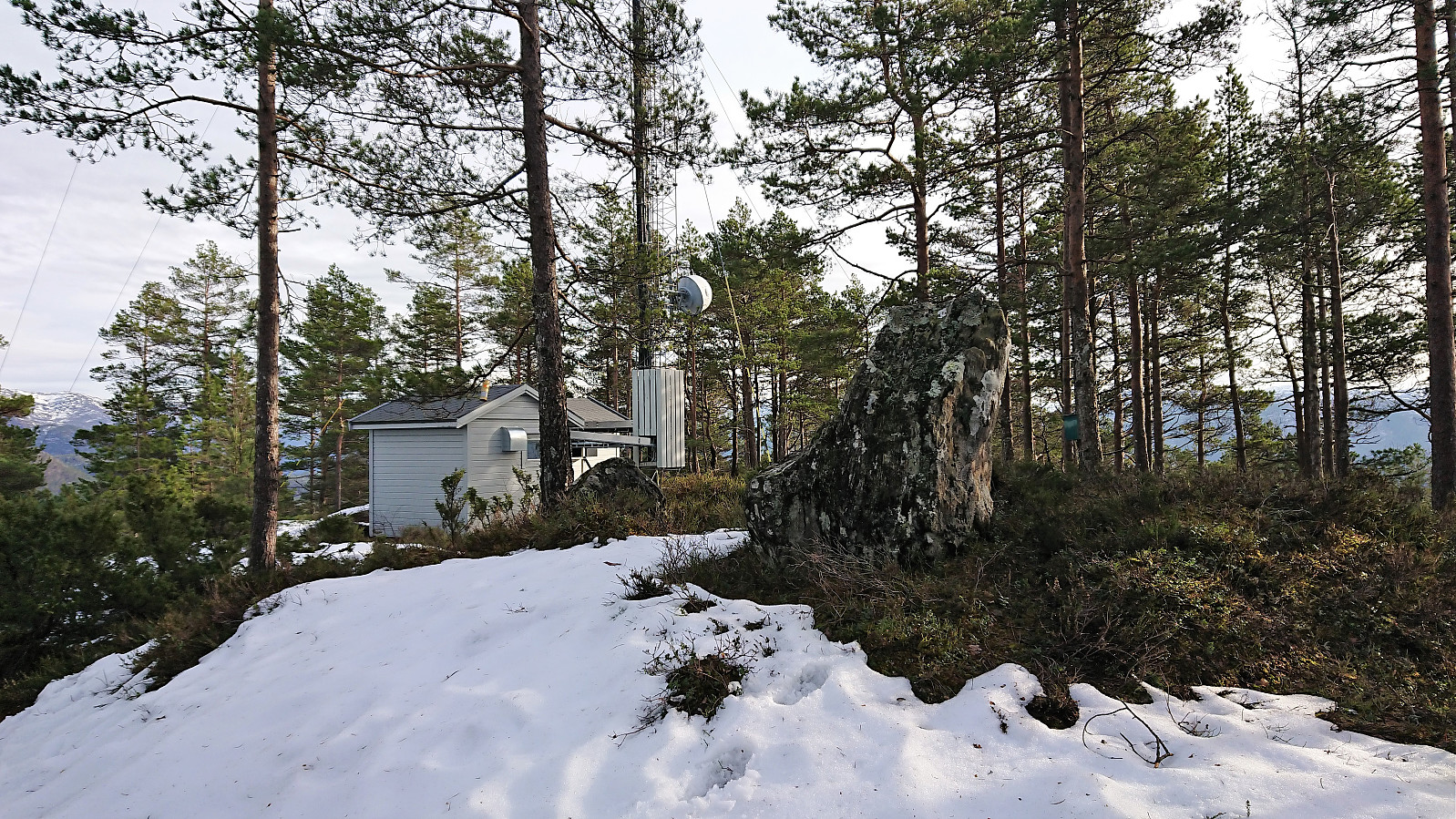
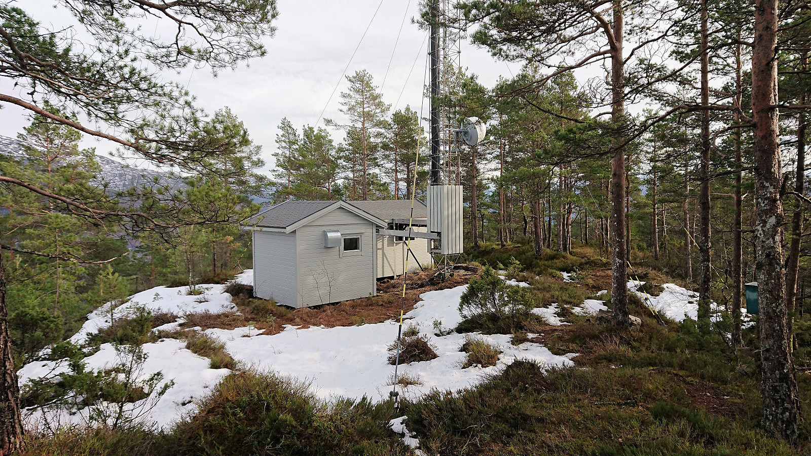
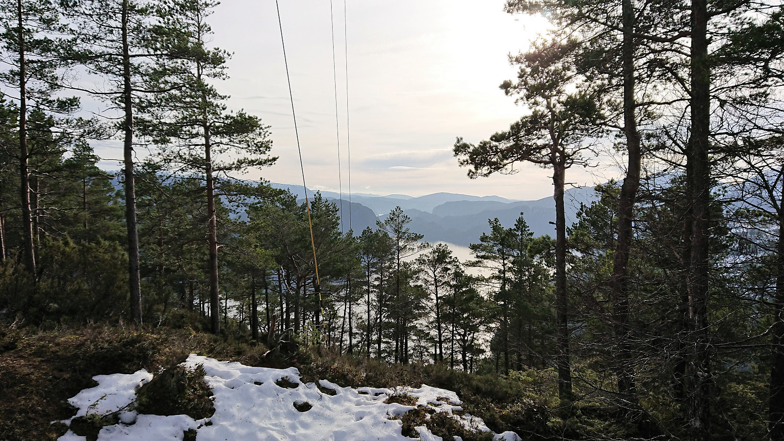
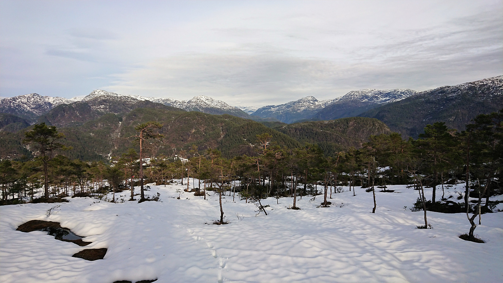
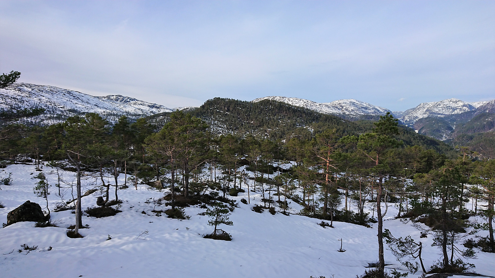
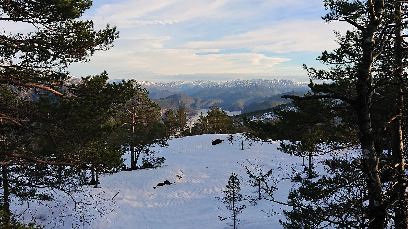
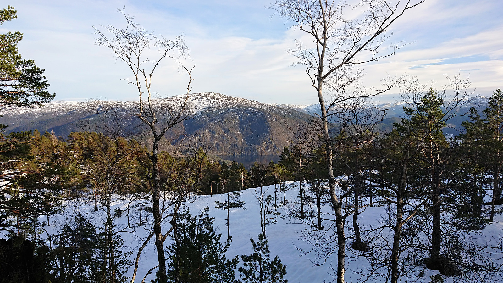
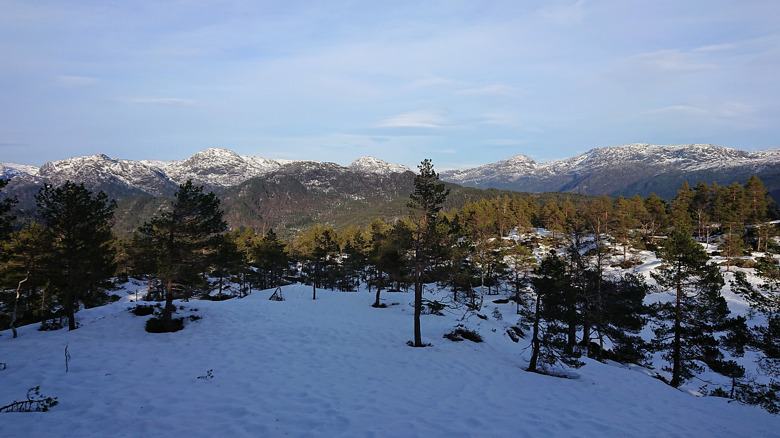
The rest of the hike to the summit was less eventful, and actually quite tough due to the deep snow having returned. But in the end I finally made it to the summit, which provided better views than Almeskila, but still a bit limited in between the trees. But better views could be obtained on the descent.
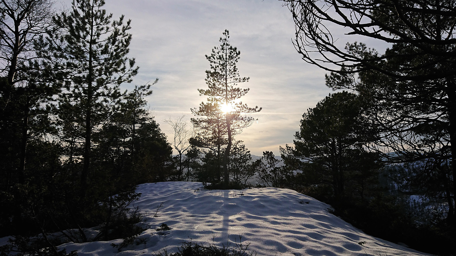
After a couple of pictures, I quickly started my descent, again following my own footprints in the snow. When I got to the overhead power lines, I decided to make my own shortcut down to the main road instead of going all the way back to the trailhead for Almeskila. But while this was probably shorter, it was also more difficult due to several areas with snow-covered rocks with lots of hidden gaps in between them.
Upon reaching the main road, all that was left was to walk back to the starting point of the hike, where I arrived with 15 minutes to spare for the planned bus back to Bergen.
In summary, due to the snow this turned out to be a tougher hike than expected, but still quite enjoyable. But probably very much recommended to rather do this hike during the summer.
| Startzeitpunkt | 23.02.2019 13:45 (UTC+01:00) |
| Endzeitpunkt | 23.02.2019 16:47 (UTC+01:00) |
| Gesamtzeit | 3h 02min |
| Zeit in Bewegung | 2h 55min |
| Pausenzeit | 0h 7min |
| Gesamtschnitt | 2,5km/h |
| Bewegungsschnitt | 2,6km/h |
| Entfernung | 7,6km |
| Höhenmeter | 582m |

Benutzerkommentare