Bamsehi, Gjøken and Huldraheimen (19.01.2019)

| Start point | Lone (82m) |
|---|---|
| Endpoint | Lønborg (56m) |
| Characteristic | Hillwalk |
| Duration | 5h 59min |
| Distance | 20.5km |
| Vertical meters | 1,079m |
| GPS |
|
| Ascents | Rundemanen (568m) | 19.01.2019 |
|---|---|---|
| Rundemanen Vest (557m) | 19.01.2019 | |
| Vardegga (637m) | 19.01.2019 | |
| Visits of other PBEs | Alfjellet (630m) | 19.01.2019 |
| Bamsehi (614m) | 19.01.2019 | |
| Bergen Radio Maskinhus (552m) | 19.01.2019 | |
| Bergen Radio Stasjonsbygning (553m) | 19.01.2019 | |
| Eidsvågshytten (452m) | 19.01.2019 | |
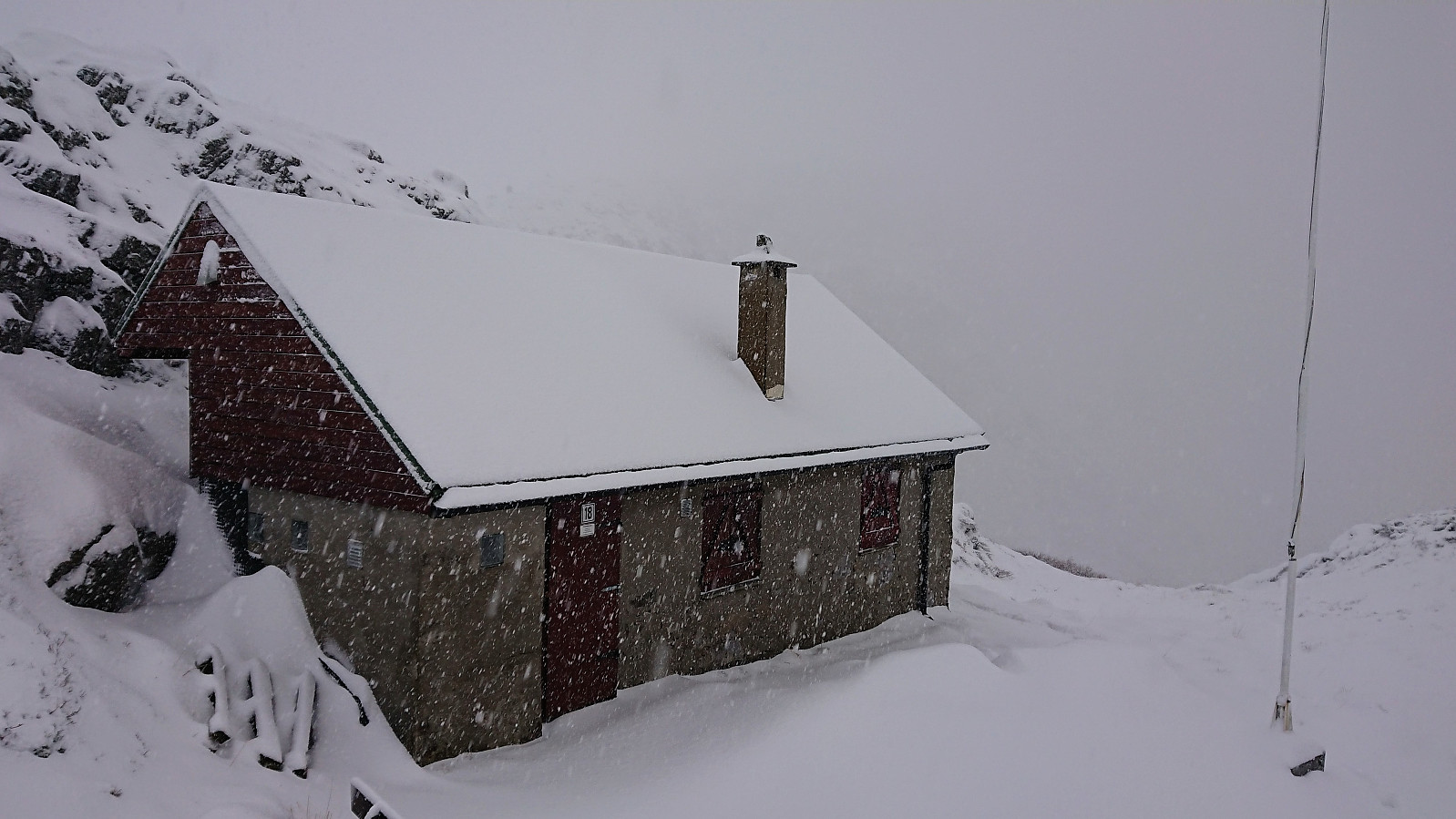
| Gjøken (577m) | 19.01.2019 | |
| Grindarasten (375m) | 19.01.2019 | |
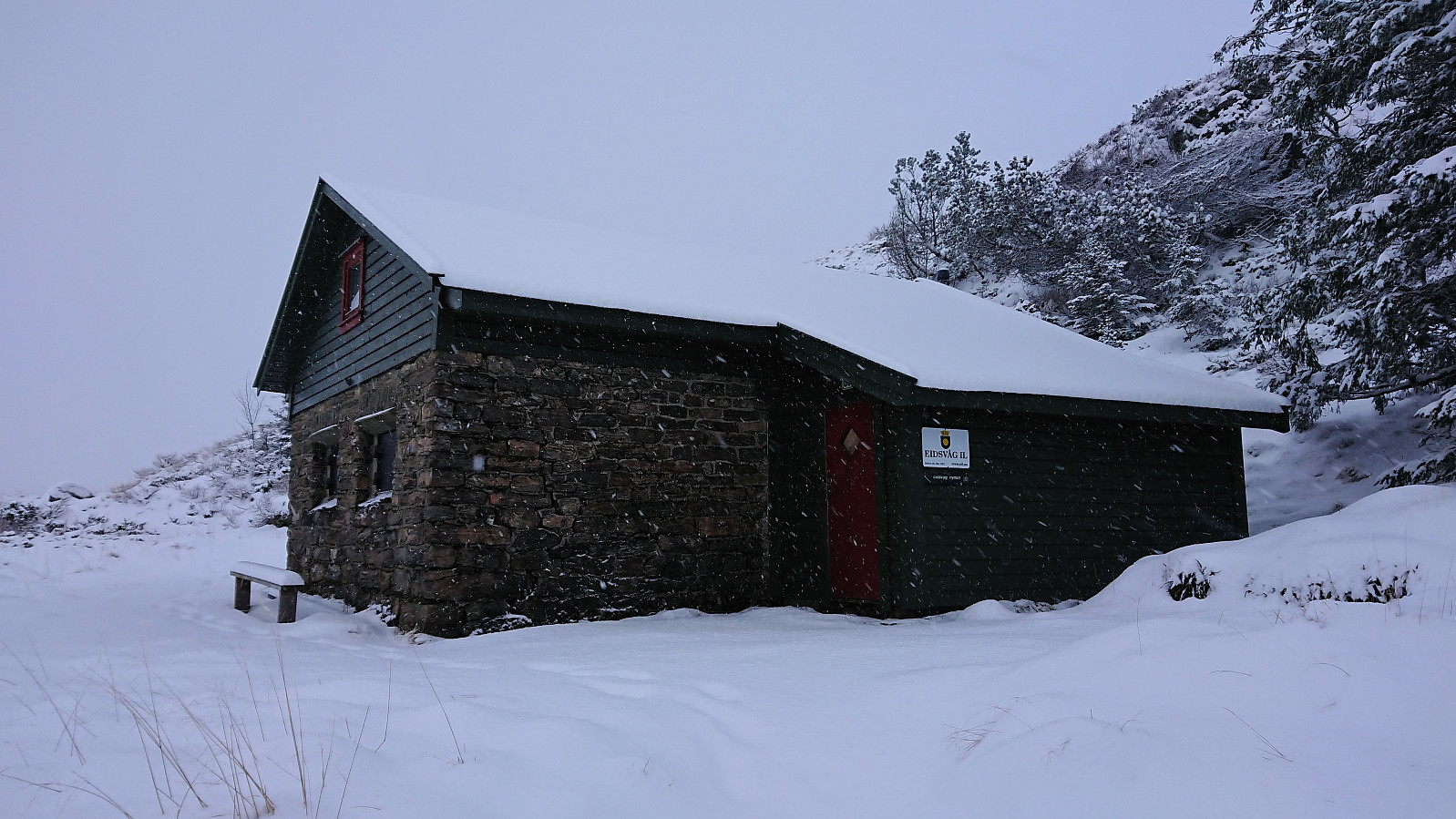
| Huldraheimen (482m) | 19.01.2019 | |
| Hus vest for Rundemansmasten (546m) | 19.01.2019 | |
| Malerskaret (426m) | 19.01.2019 | |
| Munkegrind (158m) | 19.01.2019 | |
| Nordmannshytten (408m) | 19.01.2019 | |
| Nødkjelke, Hyttelien (446m) | 19.01.2019 | |
| Vannverkshus i Skiveien (244m) | 19.01.2019 |
Bamsehi, Gjøken and Huldraheimen
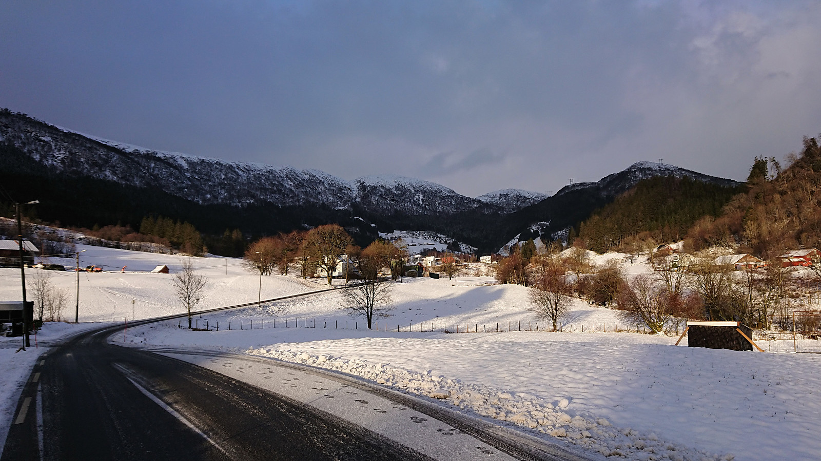
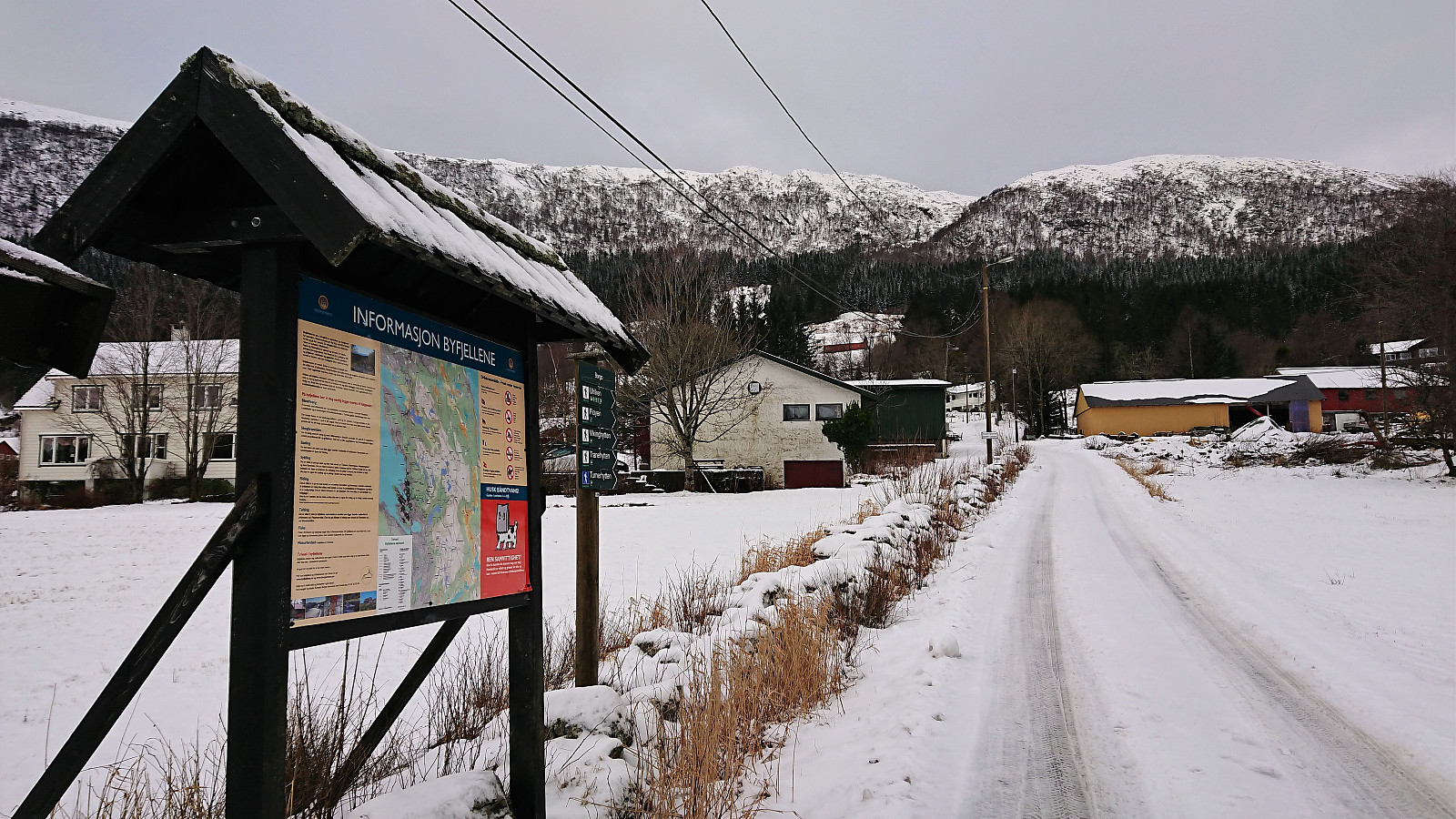
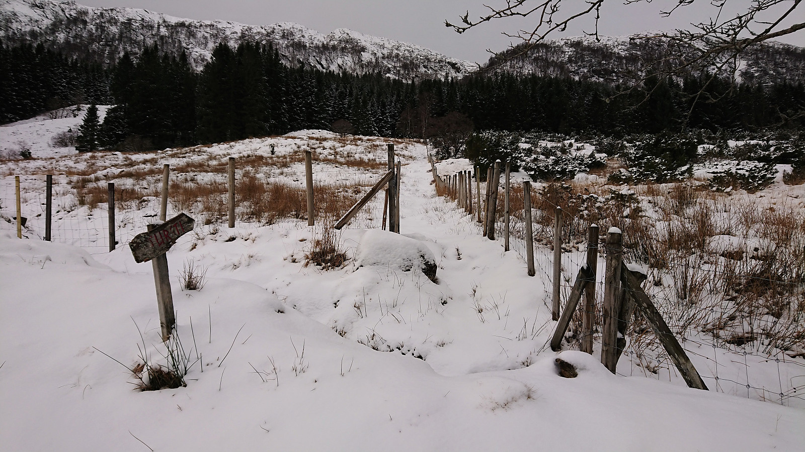
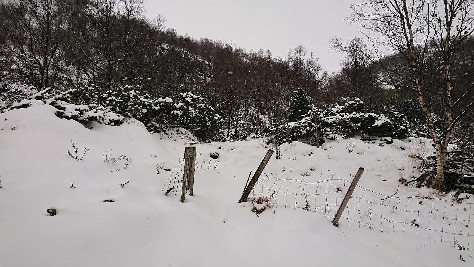

Started by taking the bus (or rather, bus, train and then bus again) to Lone and from there following the road to Borgo where the marked trailhead was easily located. However, shortly after leaving the last house behind the signs stopped, and given that the trail was completely covered by snow (and there were no footprints to follow), I was soon rather unsure whether I was following a trail or not. I think I was pretty close though. At least it was relatively straightforward to make progress toward Borgaskaret.
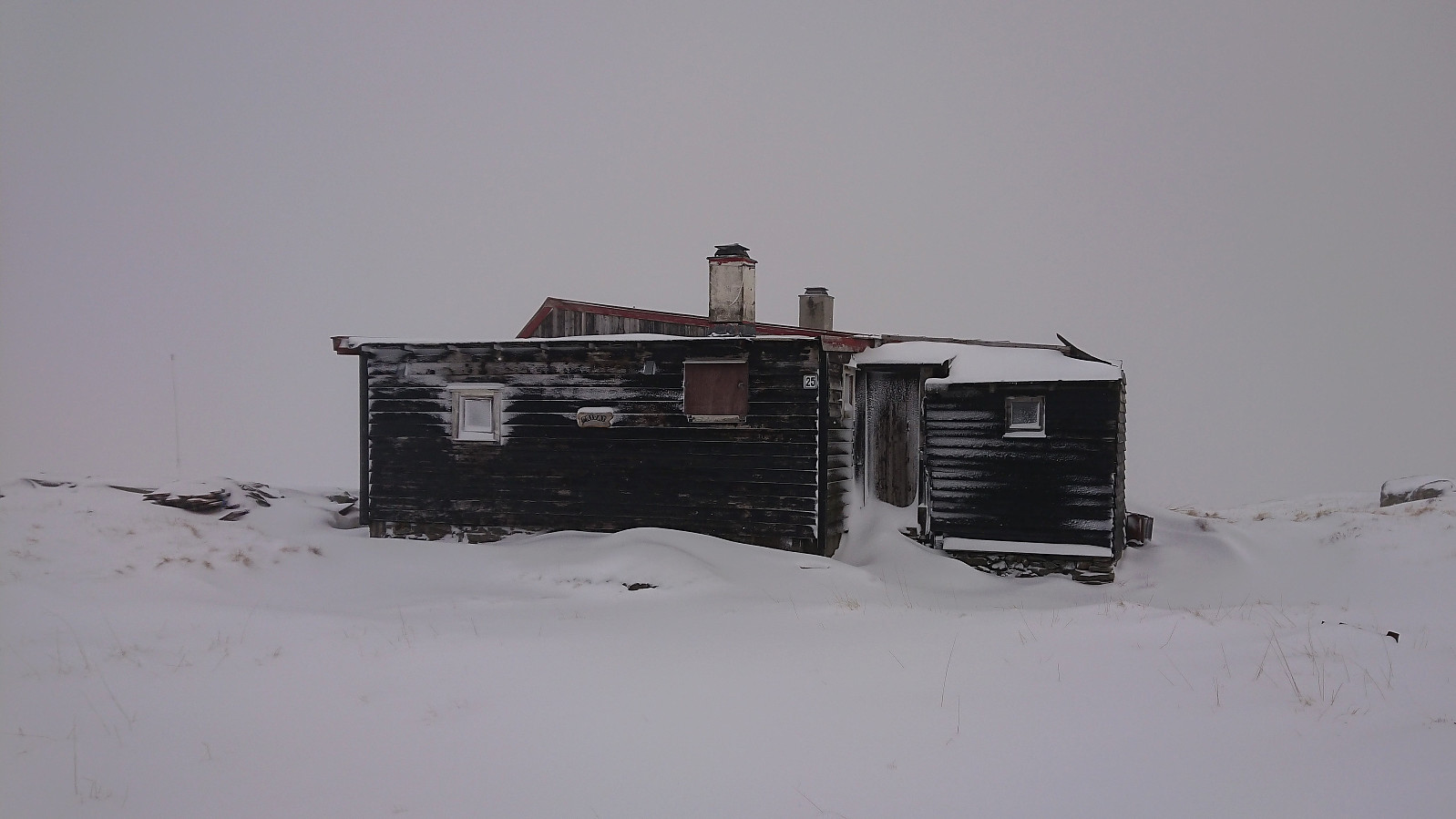
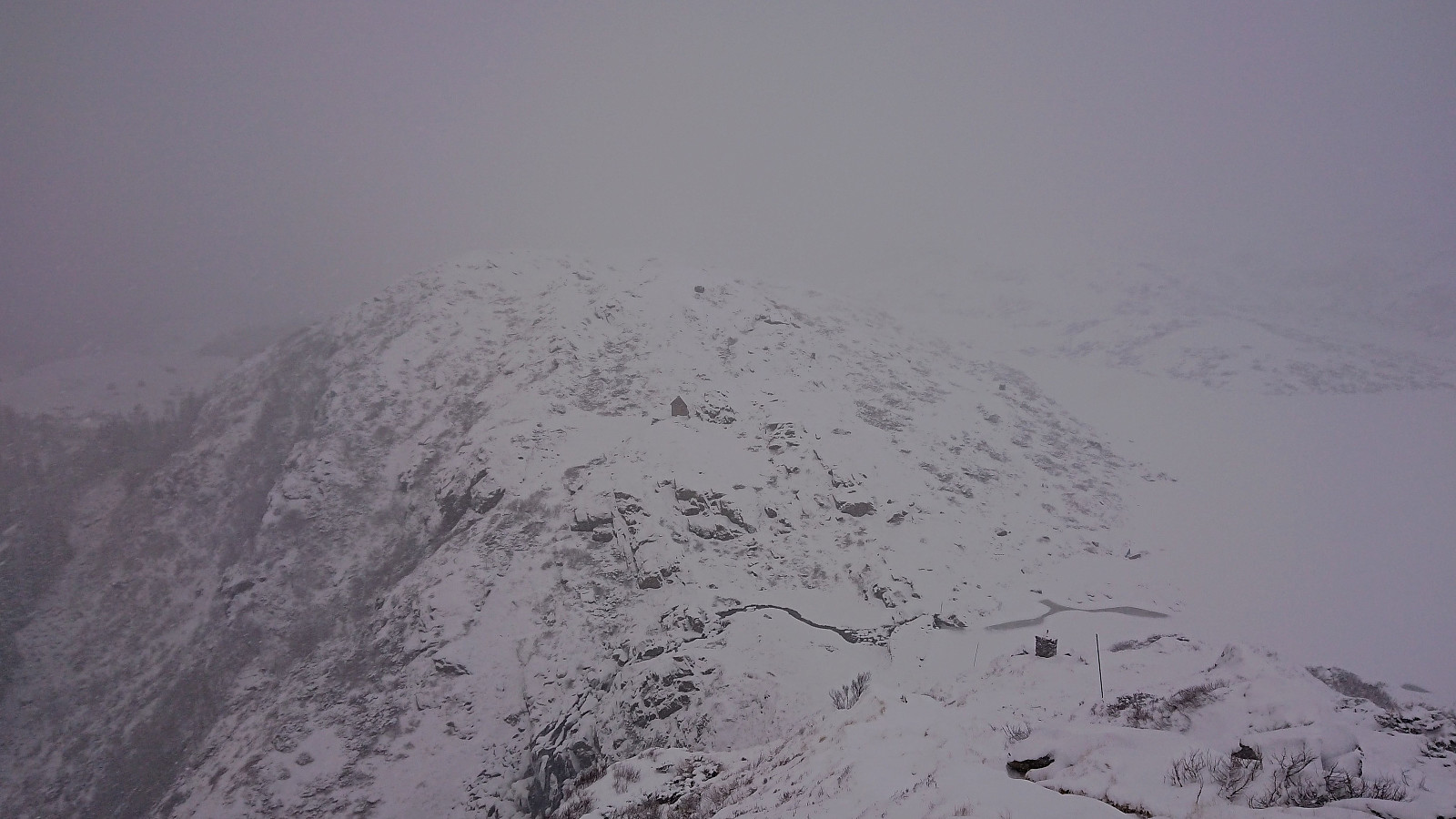
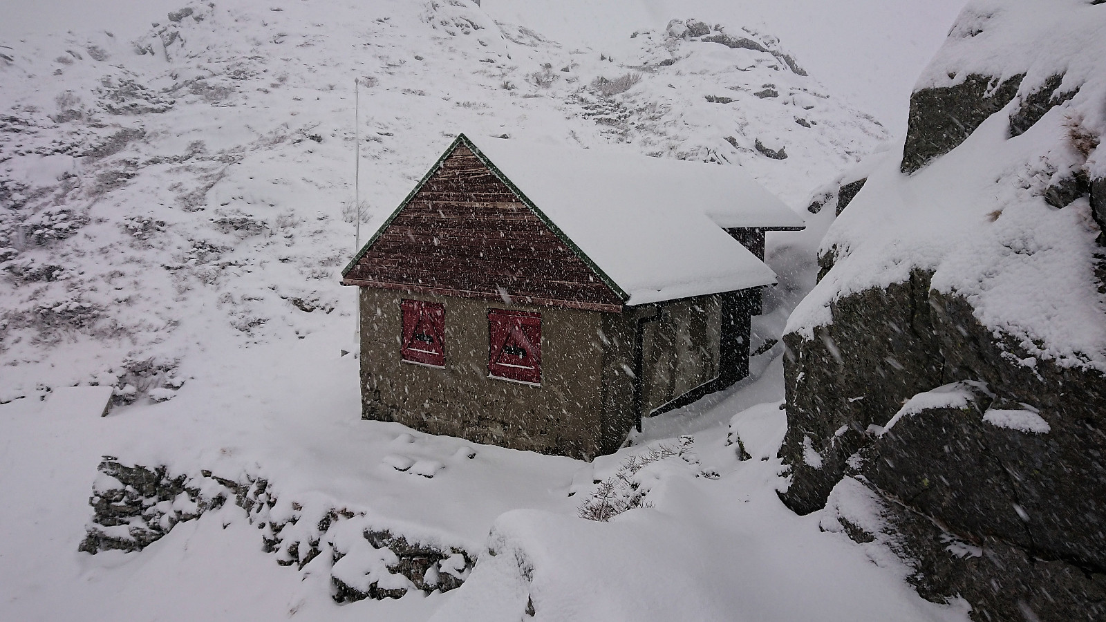
My main challenge was that it had by now started snowing quite heavily, which made for poor visibility. I decided to still make the planned detour for Bamsehi, but more or less walking from cairn to cairn in order to avoid having to refer to the GPS too frequently. After a quick visit to Bamsehi, I turned back and returned to Borgaskaret, still with visibility only as far as the next cairn.
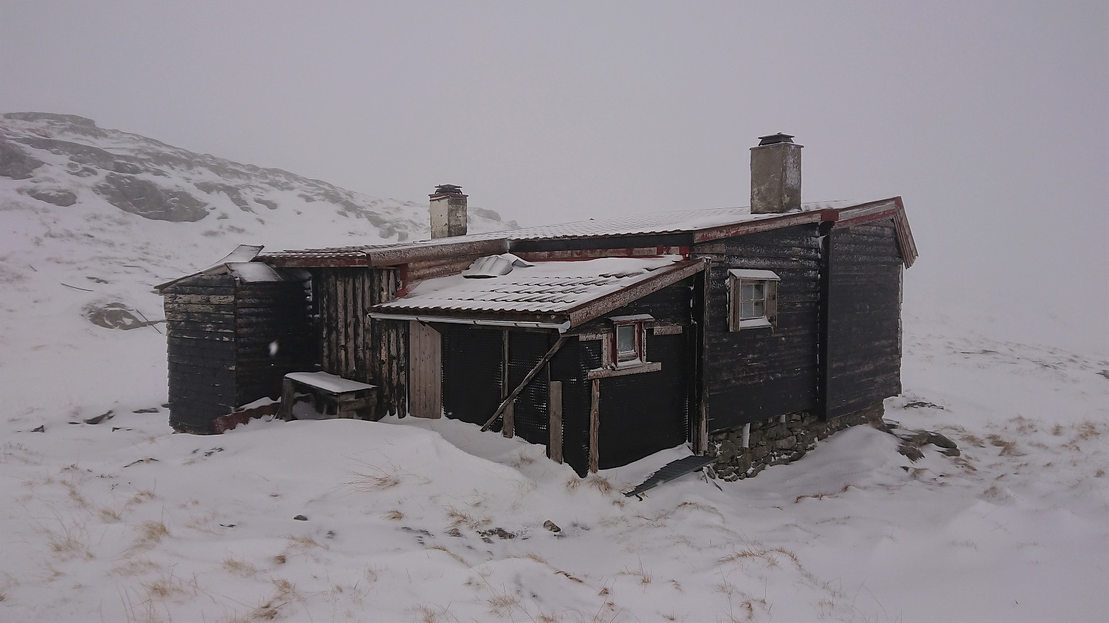
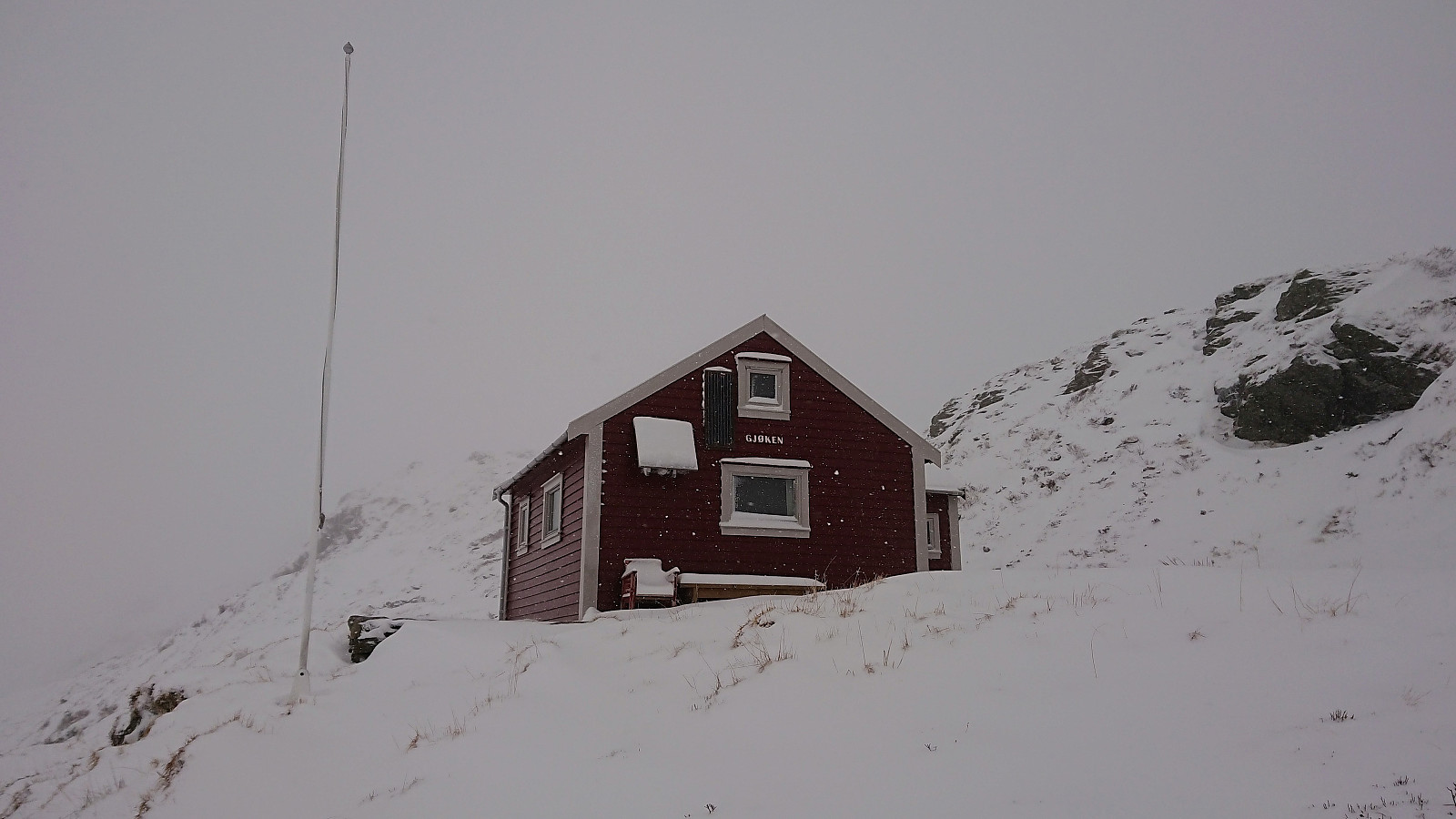
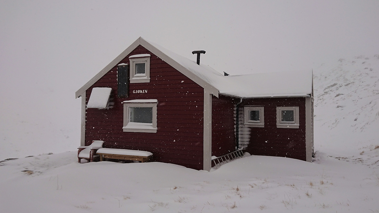
After passing by Vardegga, I made my own shortcut toward Gjøken. Struggled a bit to locate the cabin, as I seemed to remember that it was located down by Borgavatnet. But with this mistake corrected, Gjøken was easily reached. Did not stay long before continuing north in the direction where I assumed the trail would have been. The initial plan had been to go all the way to Vikinghytten, but with the poor visibility, I decided to change my plan and instead head west to reconnect with the main trail across Vidden. Started off in the wrong direction though, and had to significantly correct my route after conferring with the GPS.
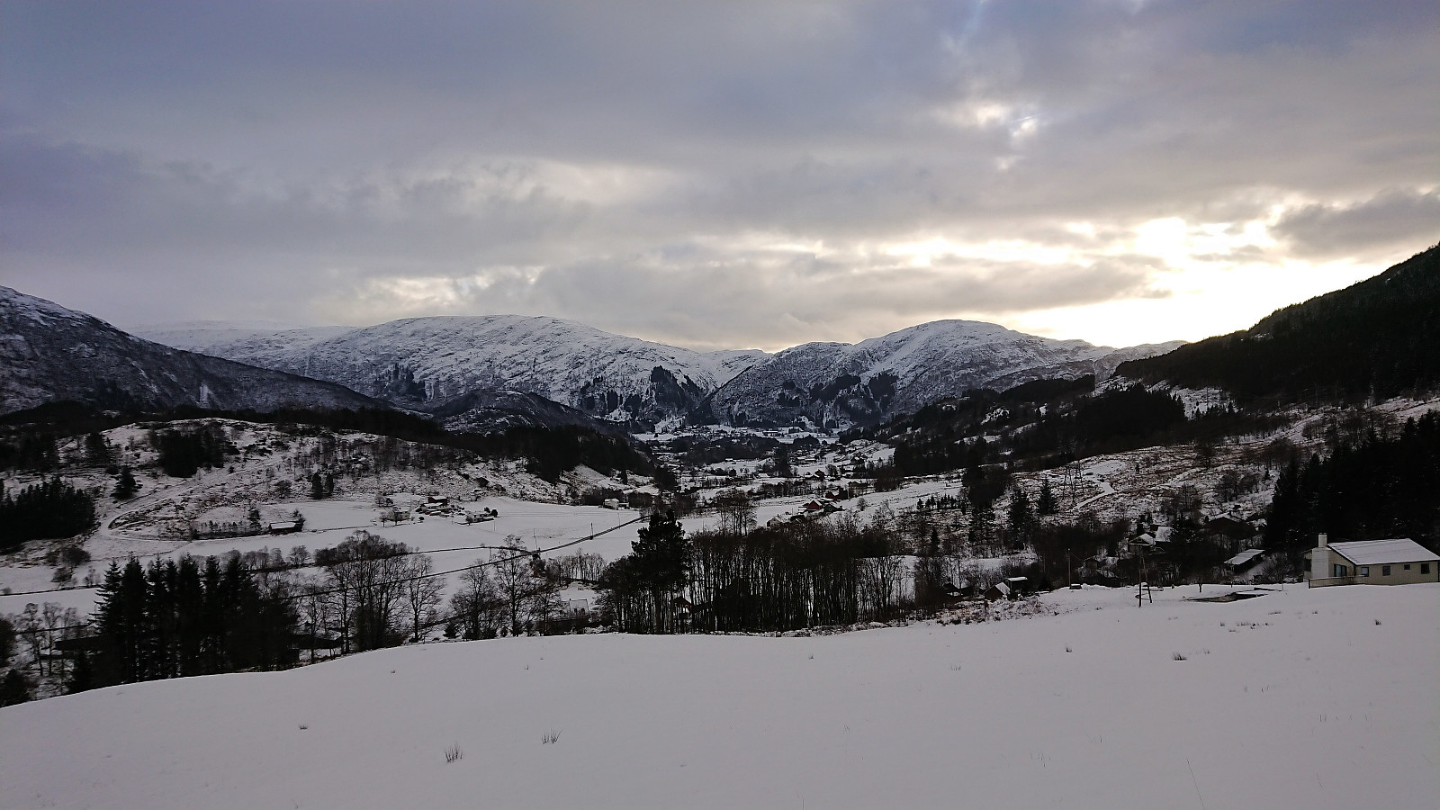
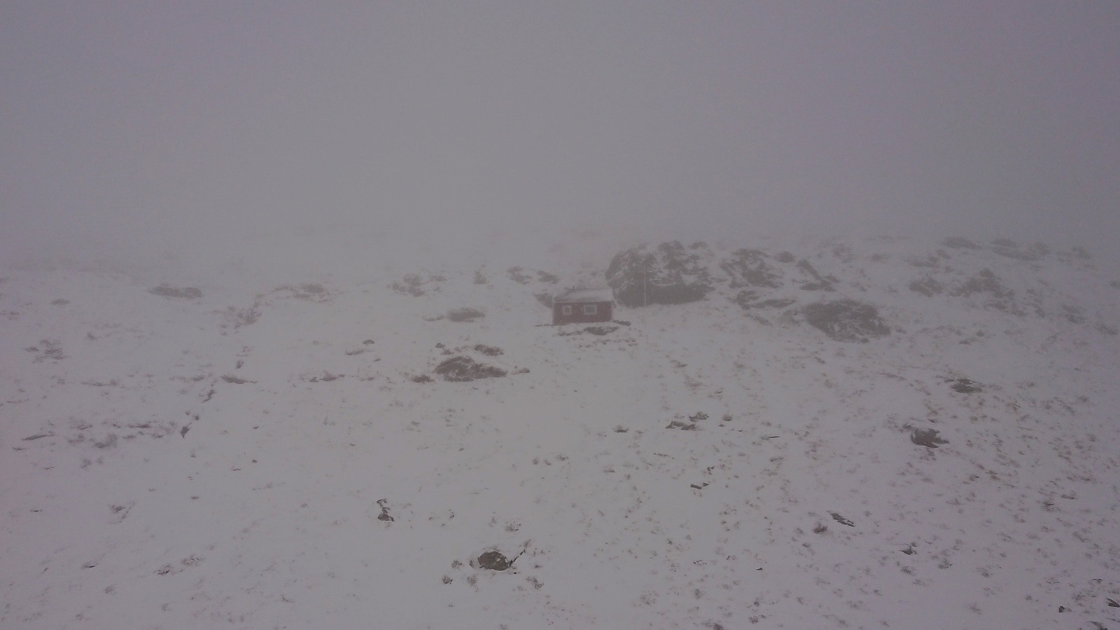
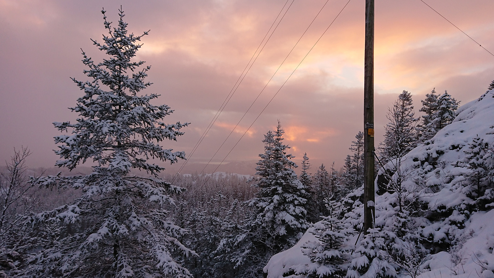
Upon finally reconnecting with the main trail, I made a quick visit to Huldraheimen on my way to Rundemanen. From Rundemanen I started on the trail down to Storevatnet, but as the visibility was still pretty poor, and given that it would soon start to get dark, I instead took the shorter route down Malerskaret to Storediket. However, halfway down Malerskaret it stopped snowing and I could enjoy (part of) a very nice sunset. Upon reaching the snow-covered gravel road at Storediket, all that was left was to follow the usual route back to Lønborg, making it to Øyjordsveien and the street lights just as it started to get dark.
Overall a nice hike, but in tougher conditions than expected, and with close to no views due to the constant snow.
| Start date | 19.01.2019 11:32 (UTC+01:00) |
| End date | 19.01.2019 17:31 (UTC+01:00) |
| Total Time | 5h 59min |
| Moving Time | 5h 33min |
| Stopped Time | 0h 25min |
| Overall Average | 3.4km/h |
| Moving Average | 3.7km/h |
| Distance | 20.5km |
| Vertical meters | 1,079m |

User comments
Nice traverse!
Written by HHauser 20.01.2019 11:16Nice ascent to Borgaskaret---was is very icy up there?
Re: Nice traverse!
Written by hbar 20.01.2019 12:55Thanks! The trail up to Borgaskaret (or at least the path I used) was more or less free of ice, but the main trail across Vidden had its fair share of ice hiding under the snow. For example making the descent down to Øvre Jordalsvatnet more difficult than it usually is. Snow chains are probably recommended, although I ended up leaving mine in the backback and rather walked outside the trail.