Storenuten (23.12.2018)

| Start point | Boge (23m) |
|---|---|
| Endpoint | Vaksdal (17m) |
| Characteristic | Hillwalk |
| Duration | 3h 17min |
| Distance | 10.4km |
| Vertical meters | 812m |
| GPS |
|
| Ascents | Storenuten (718m) | 23.12.2018 |
|---|---|---|
| Visits of other PBEs | Vaksdal stasjon (17m) | 23.12.2018 |
Storenuten
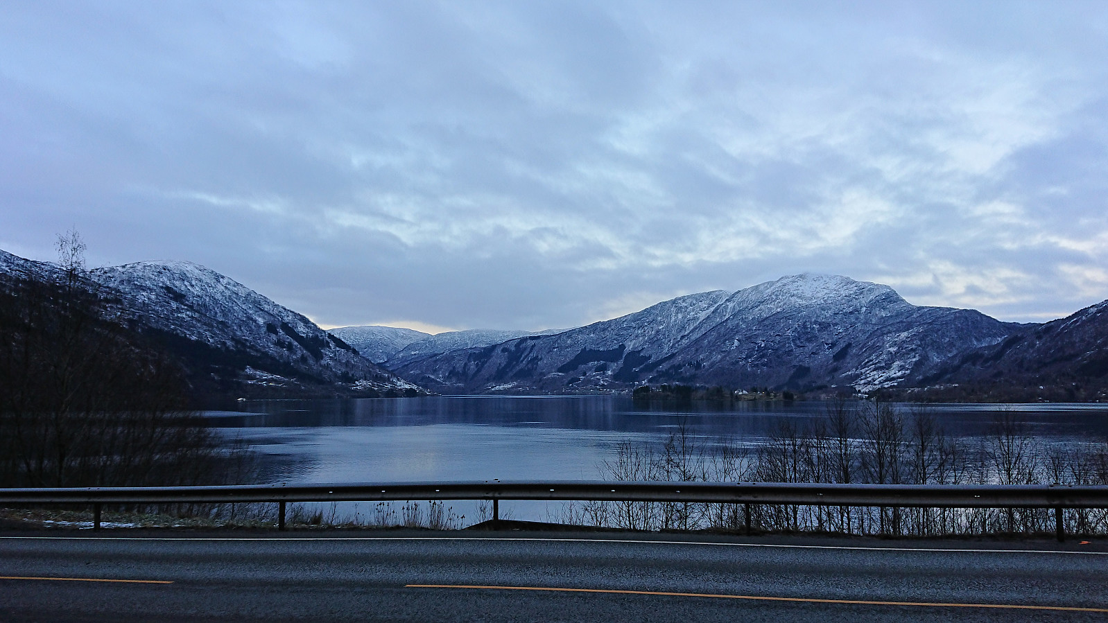

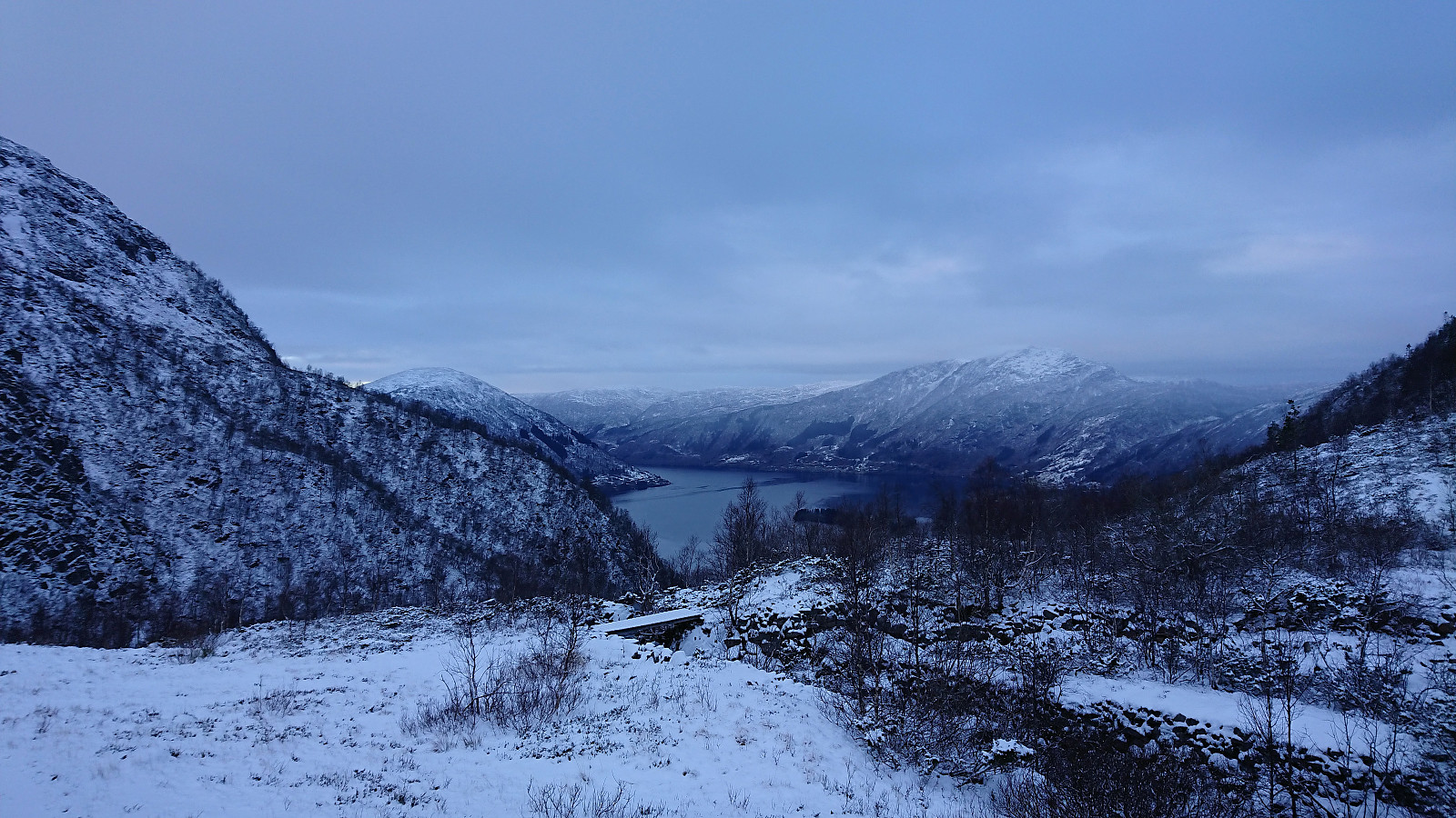
Started by taking the bus to Boge and following Bogavegen north until locating the start of the winding gravel road up to Bogavatnet. It was not too steep at the beginning, but soon the snow chains had to be put on. But of course only after first slipping and spraining my thumb...
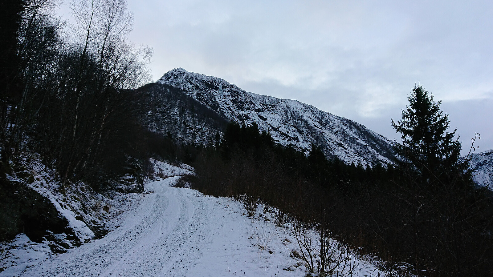
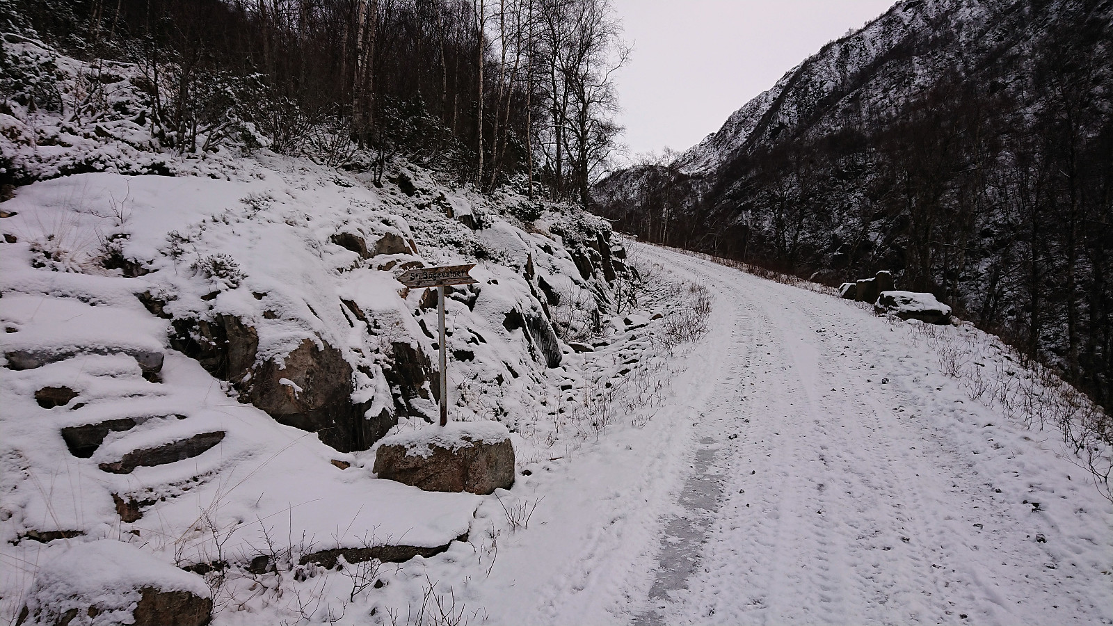
The gravel road flattened out a bit after the initial bends, but turned very steep after crossing the small bridge for the last stretch up to Bogavatnet. Much steeper than what comes across in the pictures. Clearly not recommended for driving. In any case, the entire gravel road is marked with "kjøring kun etter avtale".
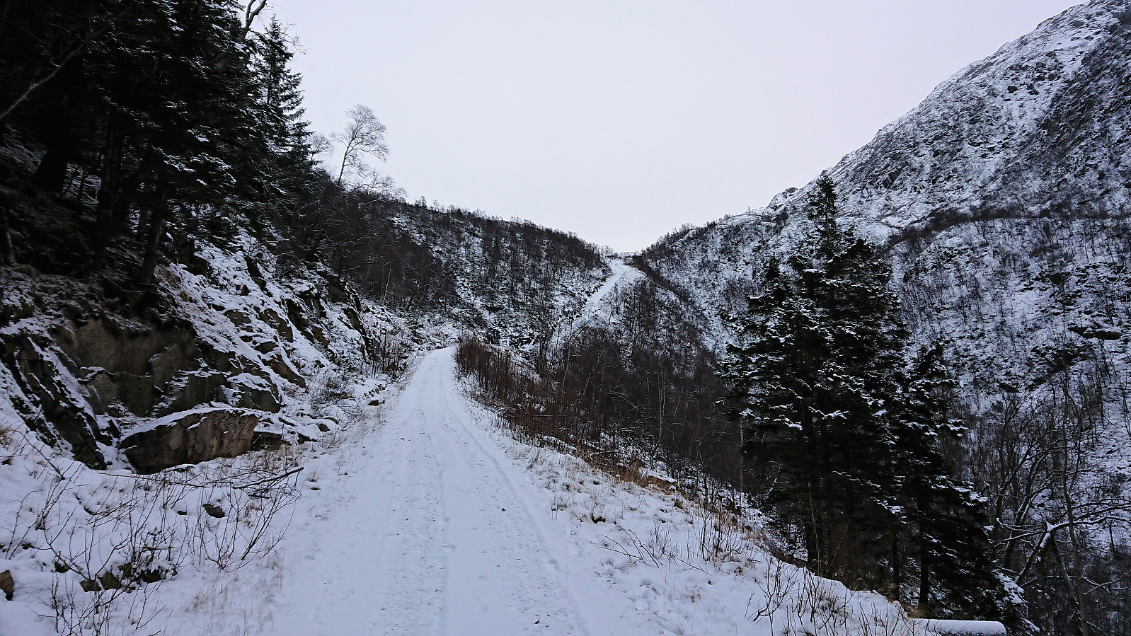
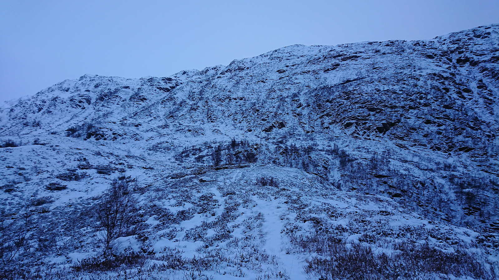
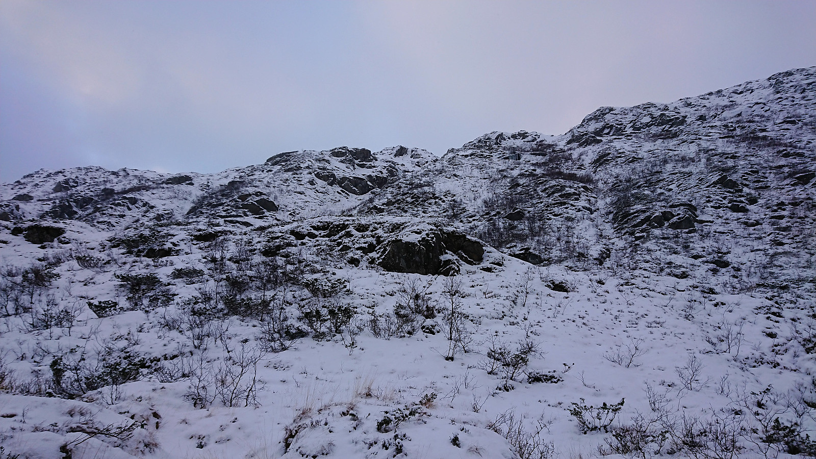
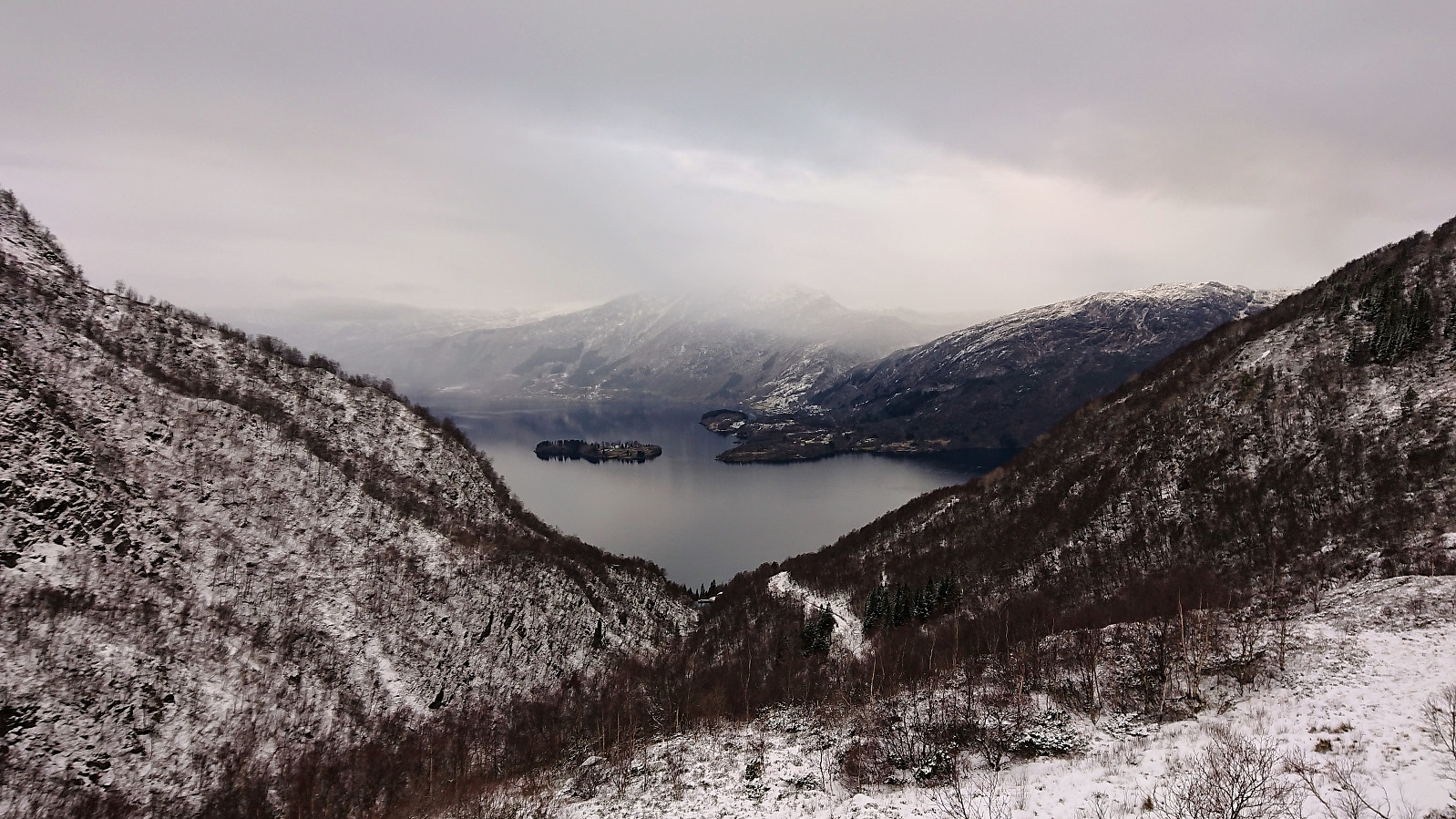
From Bogavatnet I followed the traces of a trail (hidden by the snow) towards Neverhaugen. Here the trail stopped. Or at least I could not see any signs of a trail in the direction of Storenuten. I therefore ended up making my own way upwards, making use of the low vegetation whenever possible. More climbing than hiking. Again the snow chains came in very handy to better handle the changes from snow to ice, often without any warning.
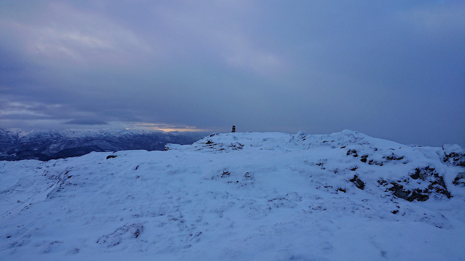
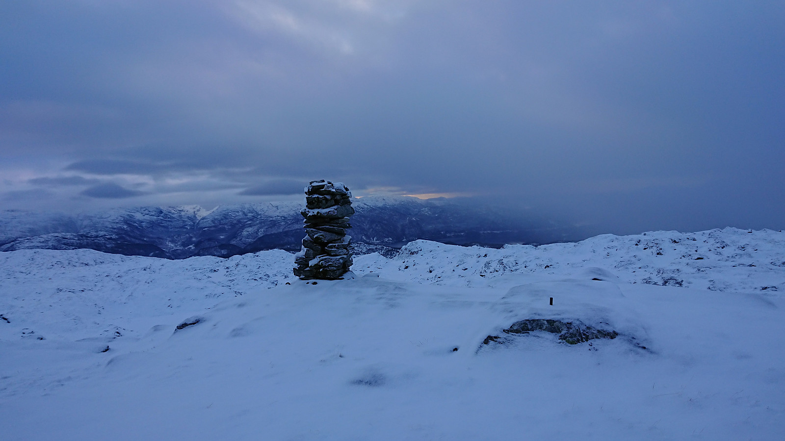
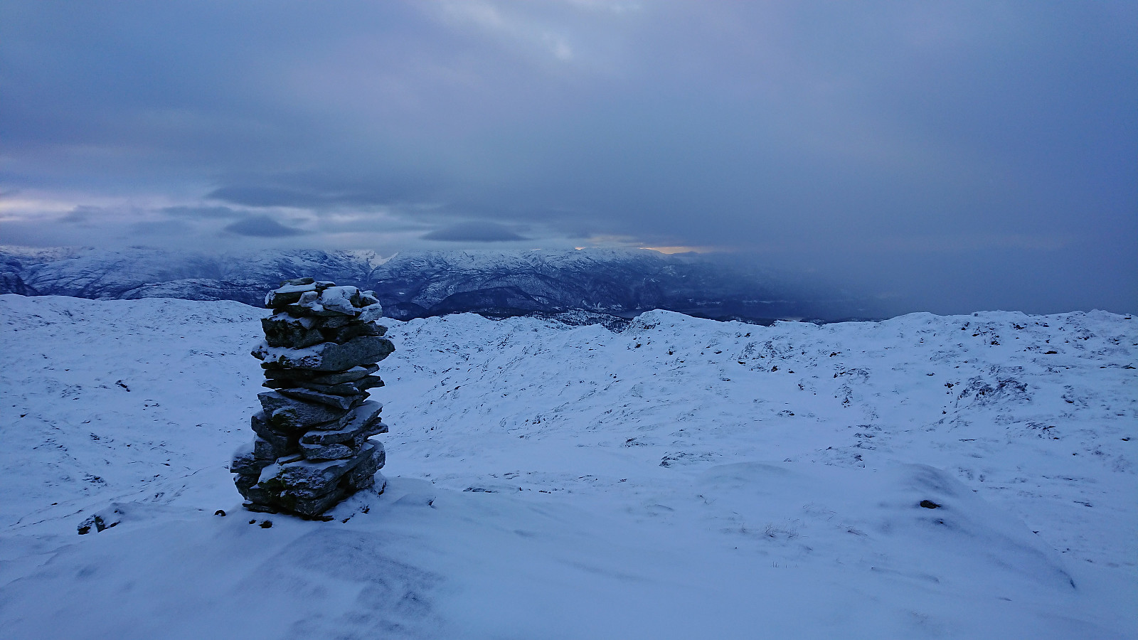
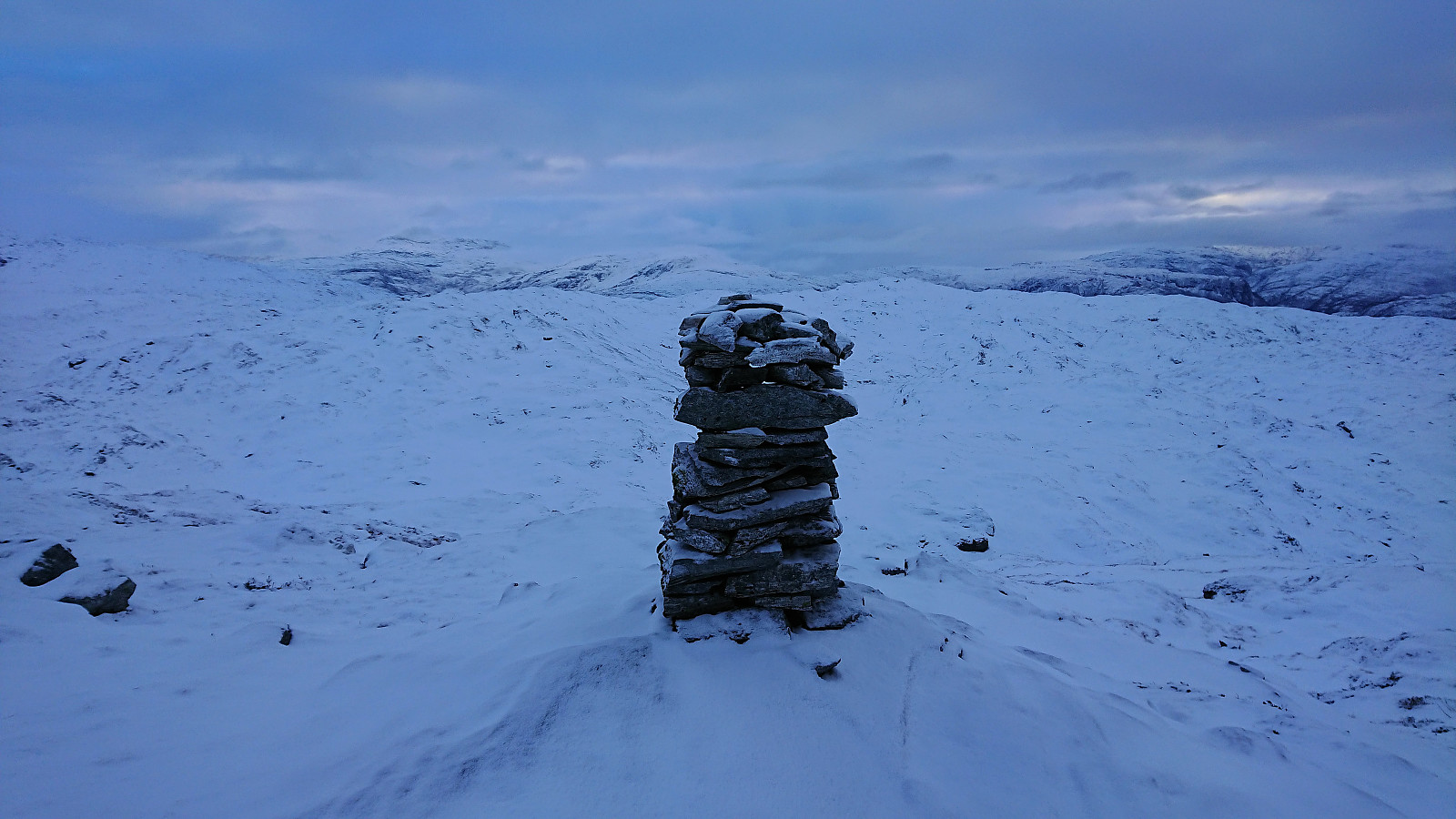
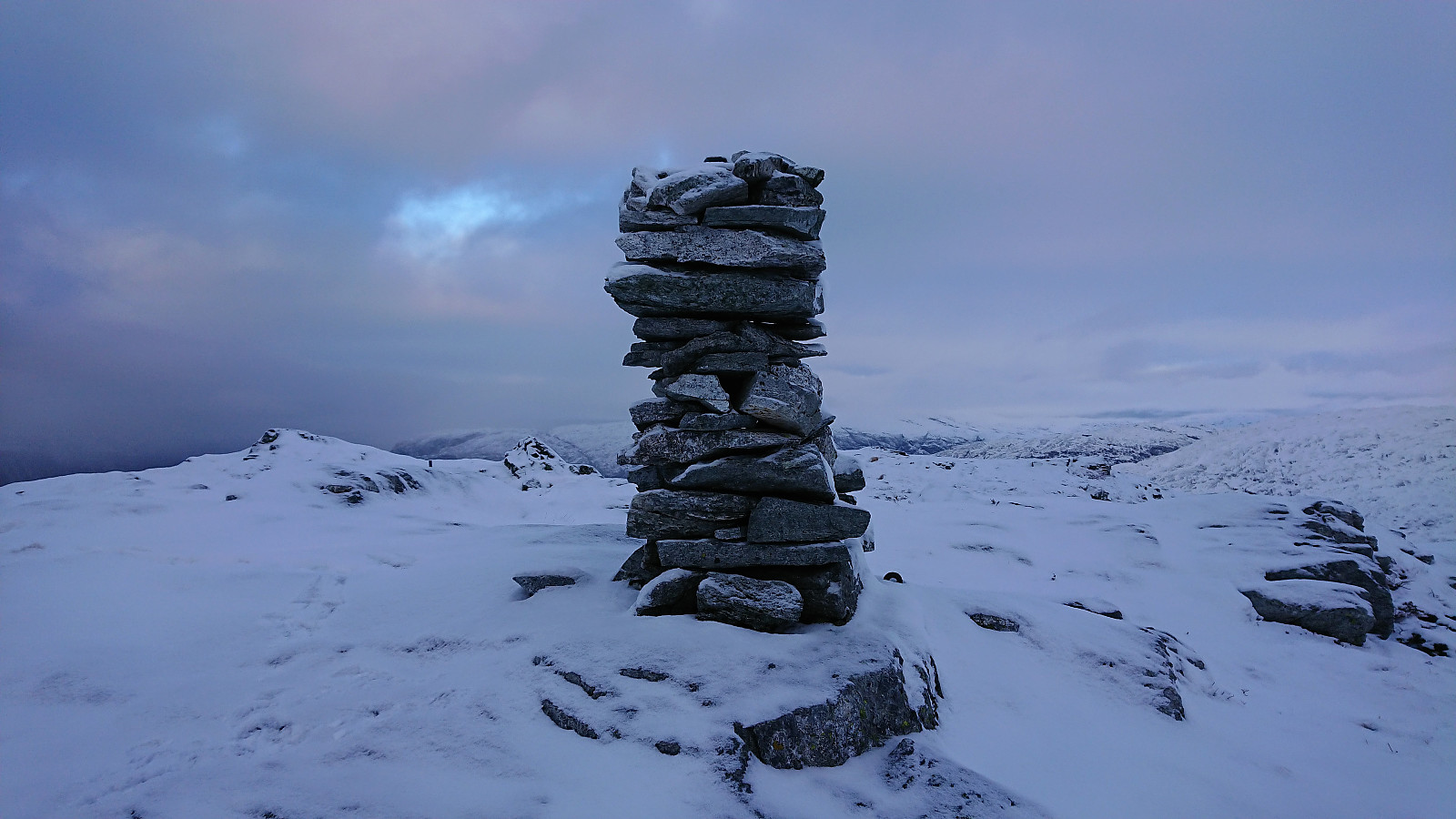
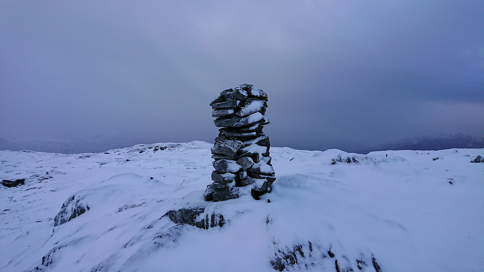
But in the end I made it to the plateau without any major difficulties, and from there on it was straightforward to reach the summit. Sadly the views today were rather limited due to a combination of low-hanging clouds and light snow from above. Waited a couple of minutes hoping it would clear, but had to give up as I had a train to catch at Vaksdal.
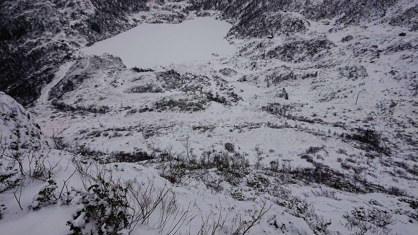
Followed my own footprints back down to Bogavatnet, and was pleasantly surprised that the steep section was significantly easier than on the ascent, with the snow probably making it easier than it otherwise would have been. One should probably avoid this direct route when there is a lot more snow though, due to the danger of setting off small avalanches.
Going down the gravel road was on the other hand slightly more tricky than expected, especially the steep part. But this could just be me not being used to trusting the snow chains, which I of course took off too early and almost had another fall at exactly the same spot as on the way up...
To conclude the hike, I walked along the roads to Vaksdal for the train back to Bergen. Only sidewalks towards the end, but as most drivers use the main road anyway the traffic was very limited. In fact, I don't think I saw a single car. The same was the case for the road up from the bus stop at the start of the hike.
In summary, an interesting hike that included more steep sections than expected. Both for parts of the gravel road (I was expecting steep, but not this steep) and especially the climbing required to reach the plateau below the summit. This climbing will clearly not be to everyone's liking. There may however be simpler routes to explore, and doing the same hike in the summer time is most likely a very different experience.
| Start date | 23.12.2018 09:59 (UTC+01:00) |
| End date | 23.12.2018 13:17 (UTC+01:00) |
| Total Time | 3h 17min |
| Moving Time | 2h 53min |
| Stopped Time | 0h 24min |
| Overall Average | 3.2km/h |
| Moving Average | 3.6km/h |
| Distance | 10.4km |
| Vertical meters | 811m |

User comments