Store Sundhaugen from Hausdalen (20.12.2018)

| Start point | Hausdalen snuplass (95m) |
|---|---|
| Endpoint | Hausdalen snuplass (94m) |
| Characteristic | Hillwalk |
| Duration | 5h 49min |
| Distance | 18.1km |
| Vertical meters | 905m |
| GPS |
|
| Ascents | Store Sundhaugen (159m) | 20.12.2018 |
|---|---|---|
| Visits of other PBEs | Brekkekleiva P-lomme (35m) | 20.12.2018 |
| Hausdalen parkering (94m) | 20.12.2018 |
Store Sundhaugen from Hausdalen

Store Sundhaugen had been on my list of potential hiking targets for a while. However it is not exactly easily accessible when mainly depending on public transport. After considering my options, I concluded that the best route would be to start from Hausdalen. This would include a rather long hike before finally being able to start the ascent of Store Sundhaugen, but in good conditions it should make for a nice hike.
The only remaining challenge was that there were no buses to Hausdalen in the weekends. Luckily I had a longer Christmas holiday this year and on the Thursday before Christmas, I was on the first bus to Hausdalen (bus stop called Hausdal snuplass). I even managed to convince a colleague to join, at least for part of the hike.
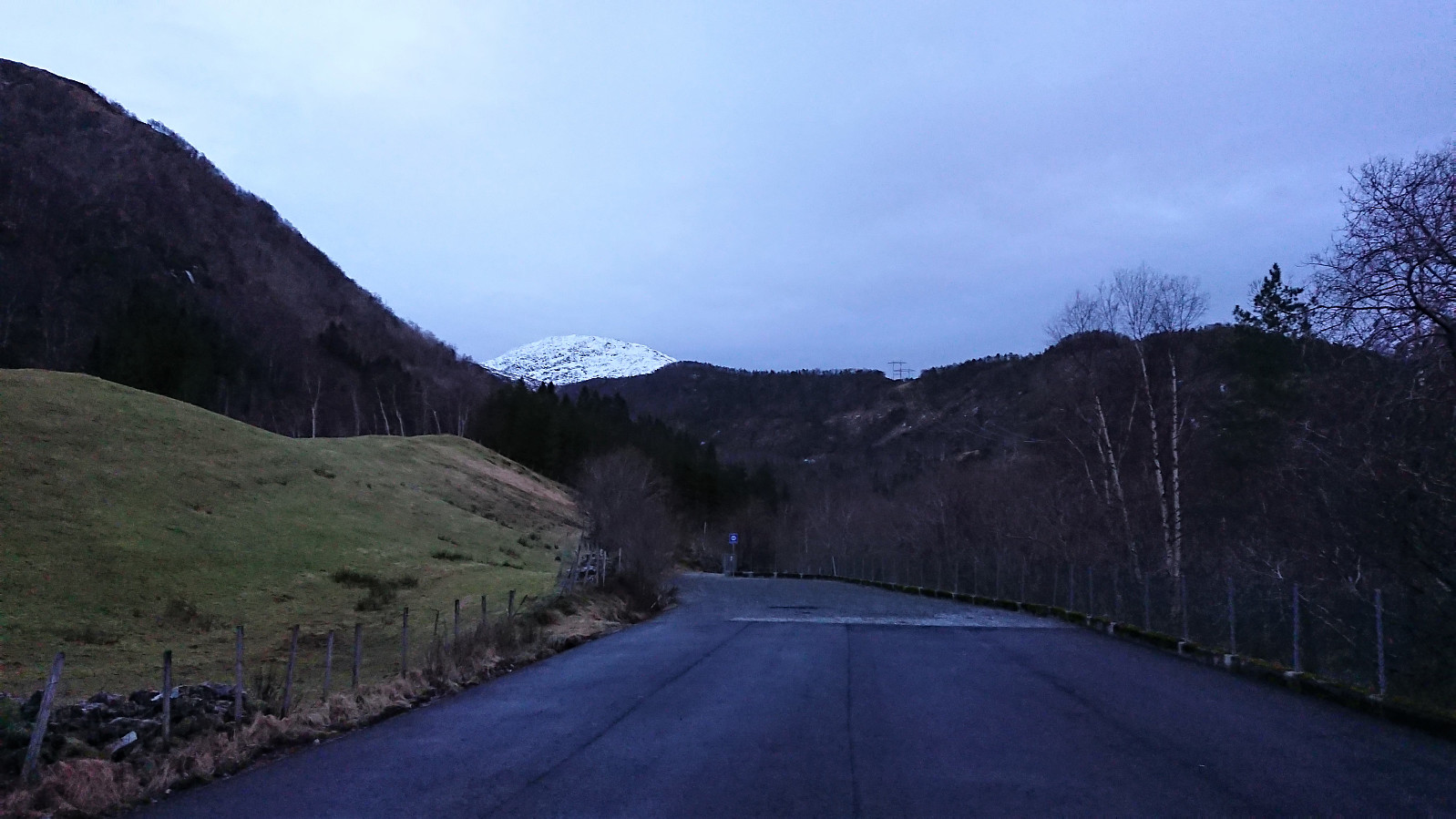
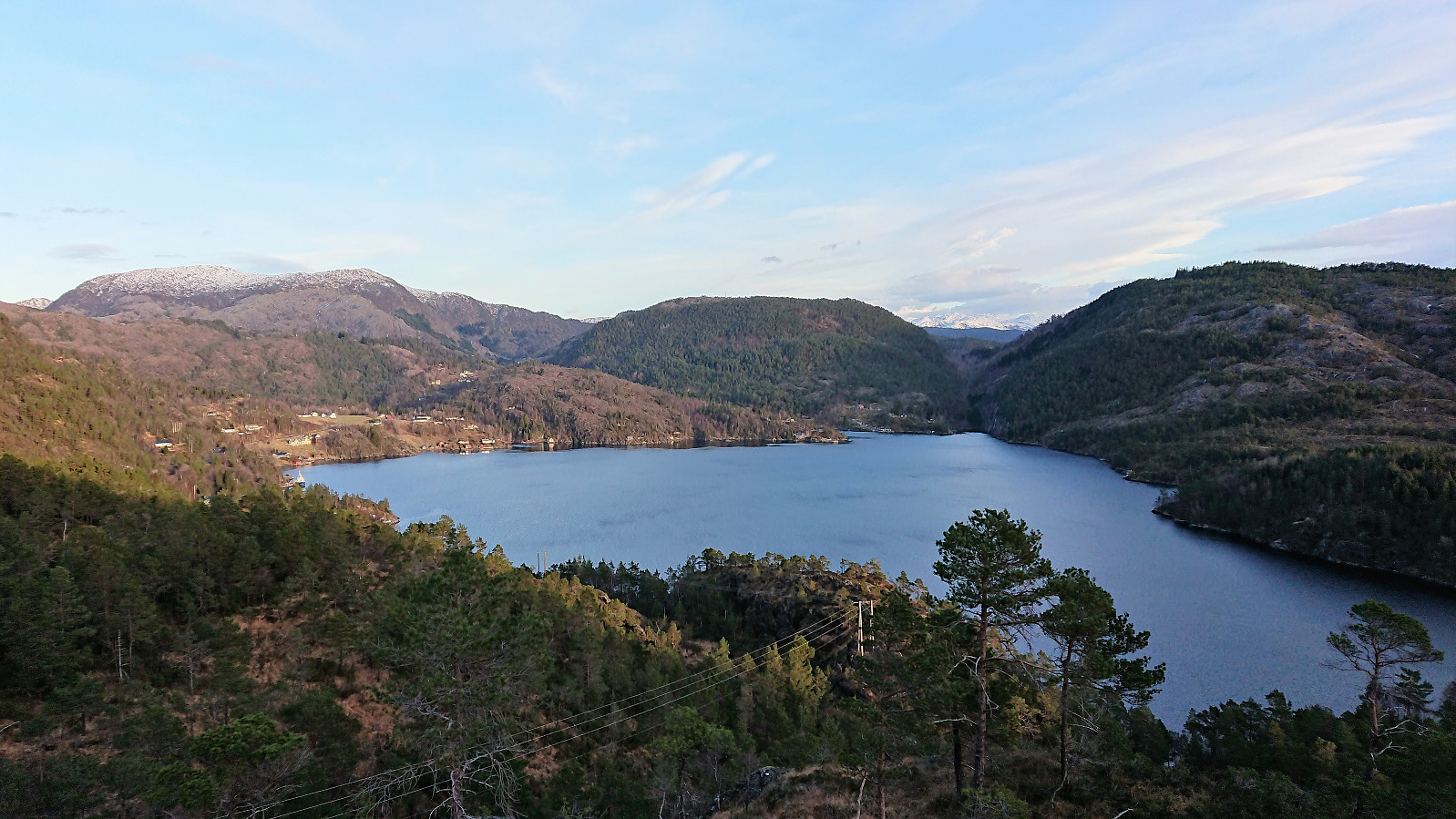
The Hausdalen parking lot was completely empty this morning, and in fact we would not see any people for the entire hike. We were also the only passengers on the bus from Kalandseid to Hausdal, so perhaps it would be more correct to call it private transport instead of public transport? ;)
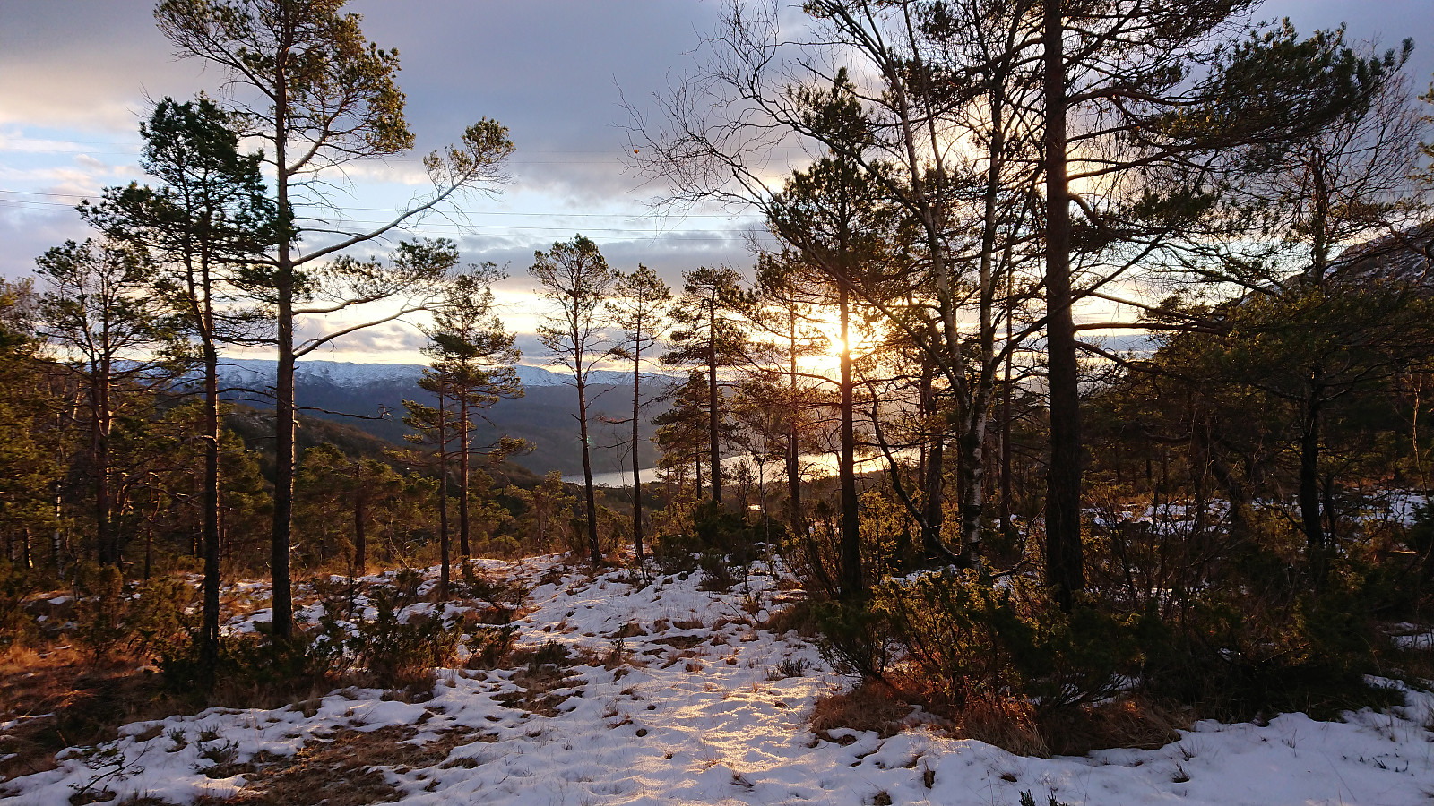
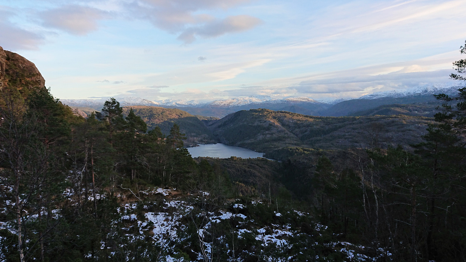
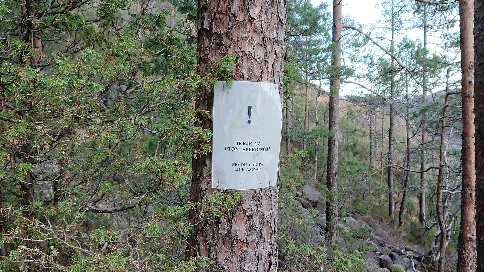
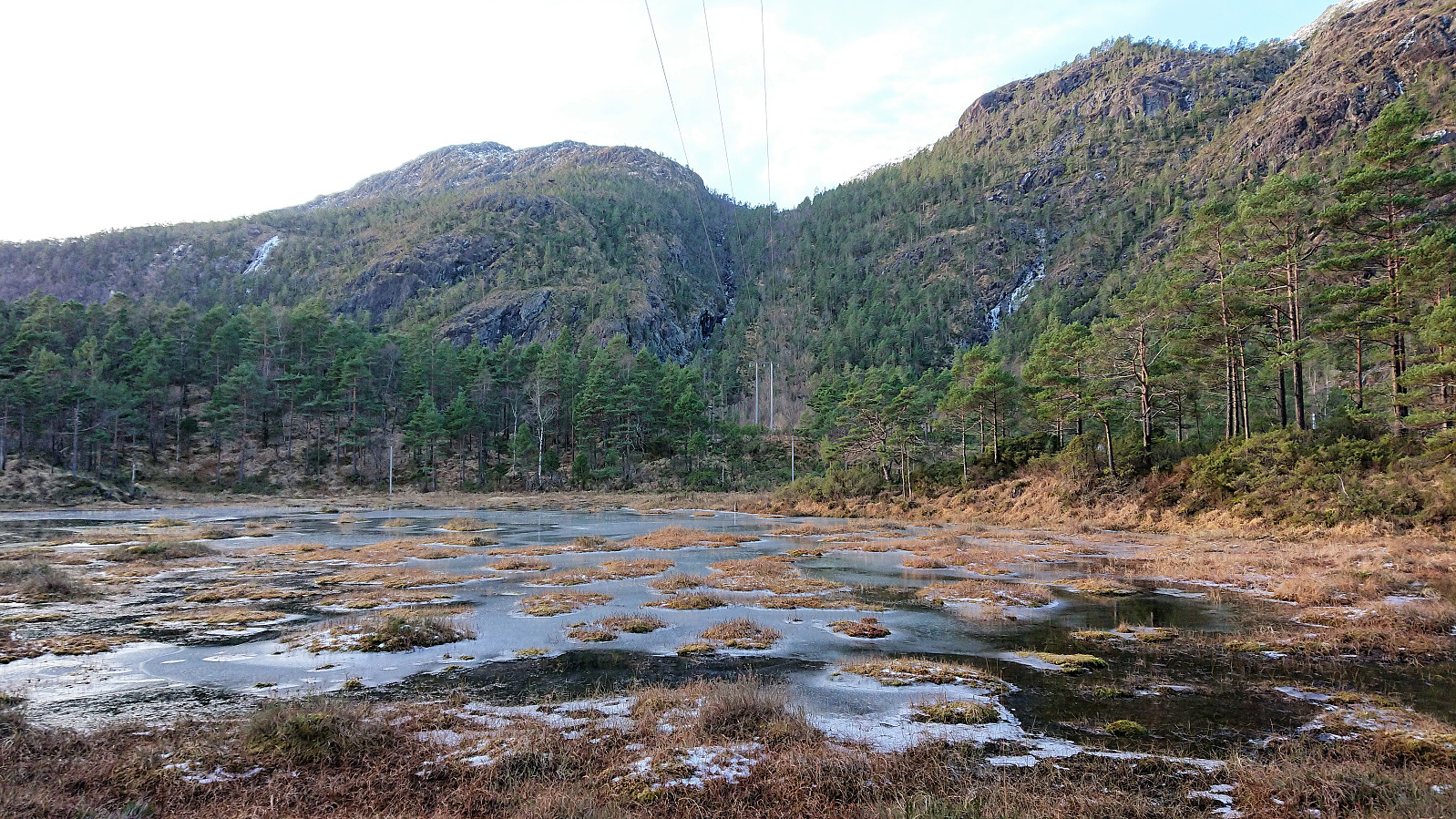
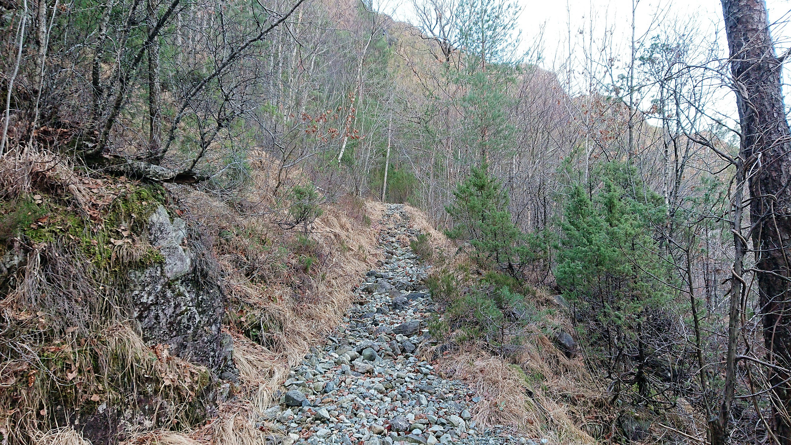
As we started walking the sun started to rise. Although we would not see much of it except for a short stretch around Brekkehytta (and much later at Store Sundhaugen). Thankfully there was less ice than feared, and what was there could in most cases easily be avoided.
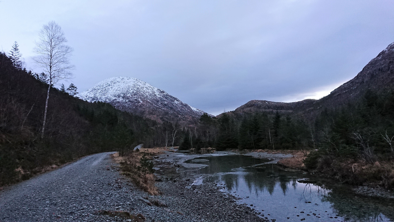
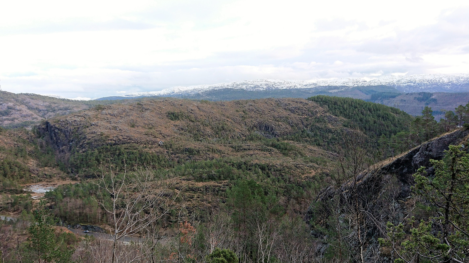
About halfway down the old gravel road in Brekkekleiva the snow and ice disappeared. Here my colleague decided to turn back in order to make sure to reach the bus stop in time. This allowed me to increase my speed and I soon arrived at the road west of Store Sundhaugen, and was finally ready to start ascending towards the main goal of the day.
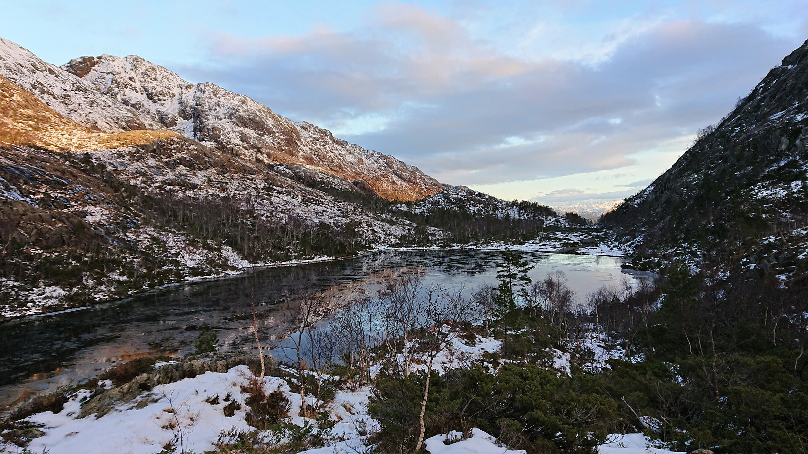
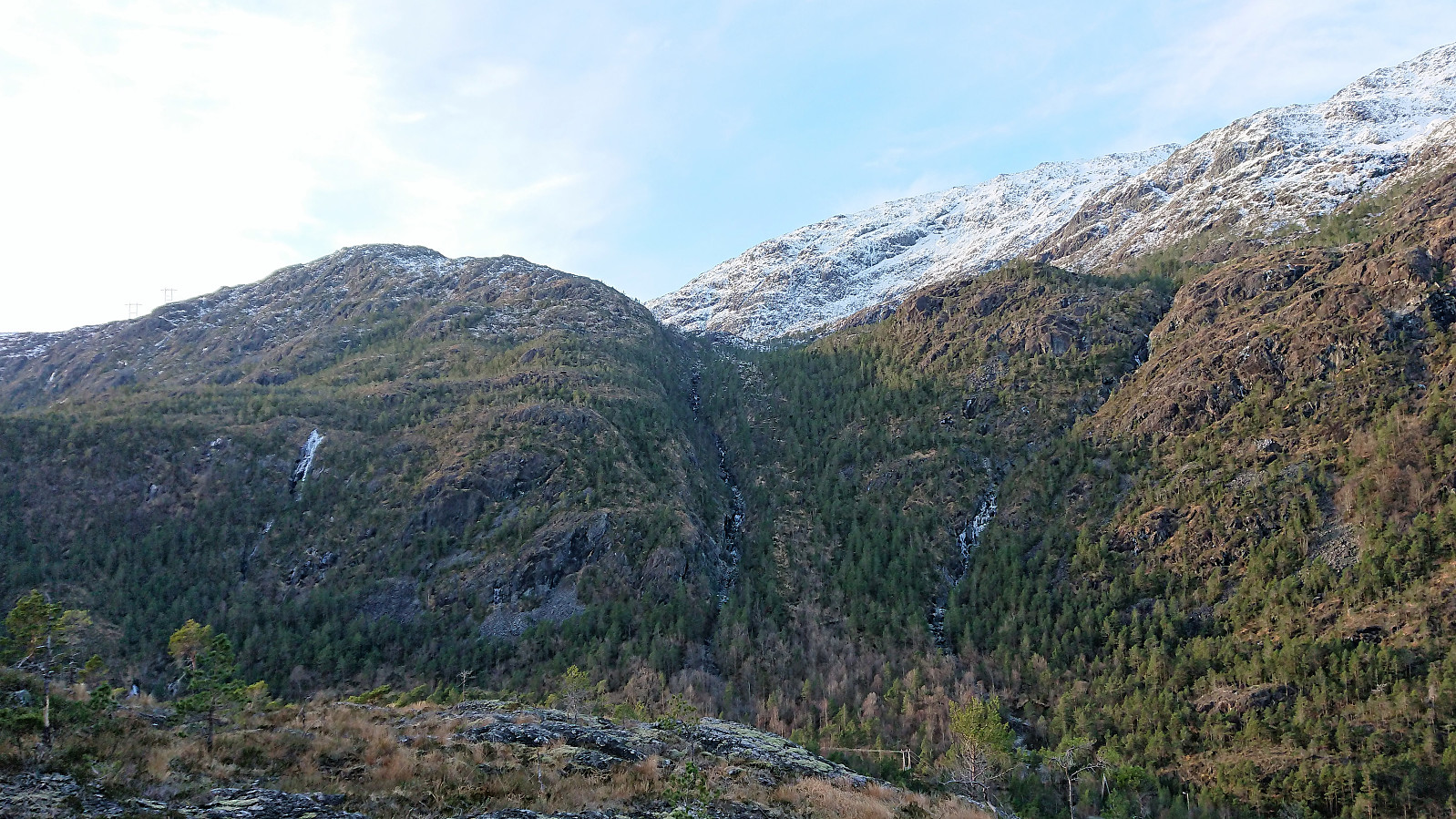
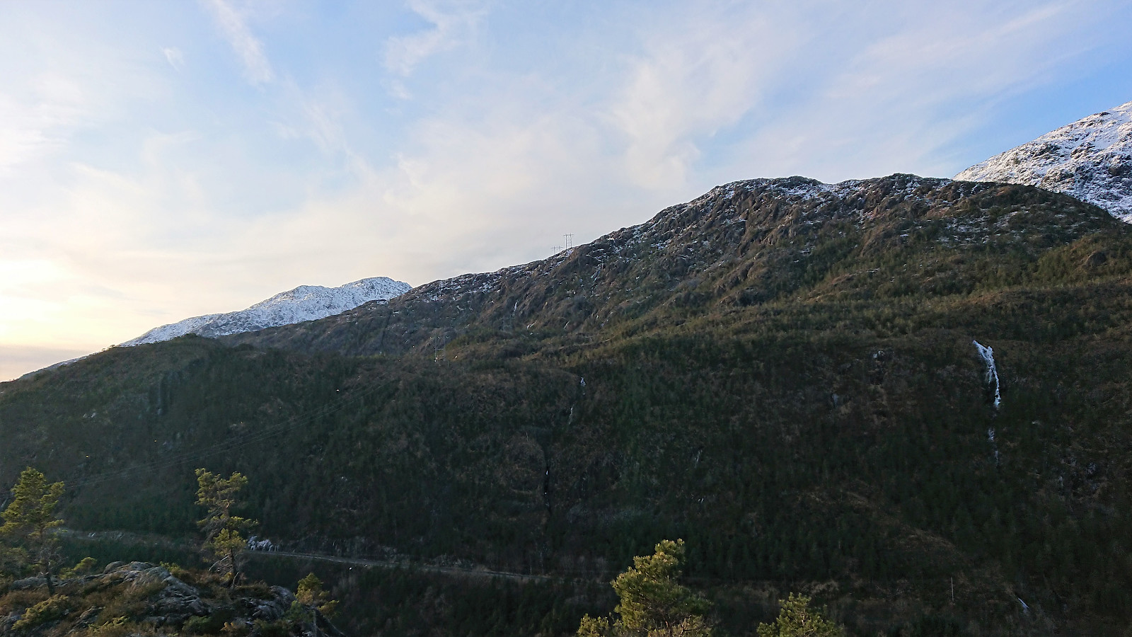
I first walked north along the road in order to pass on the northern side of the small lake. From there I followed the valley northeast, planning to make the final ascent from the north. Making progress up this small valley did not provide any real problems, but it was clearly a path more heavily used by deer than by hikers.
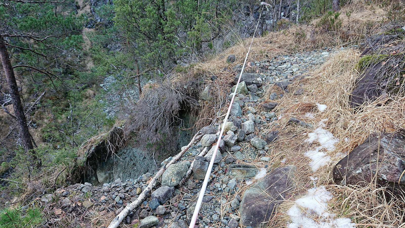
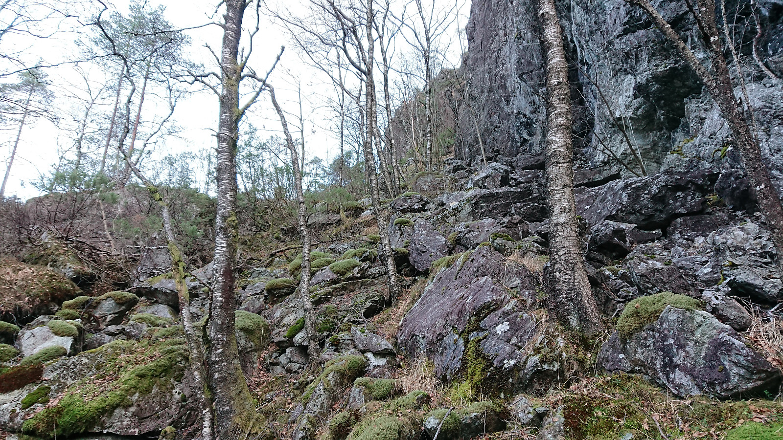
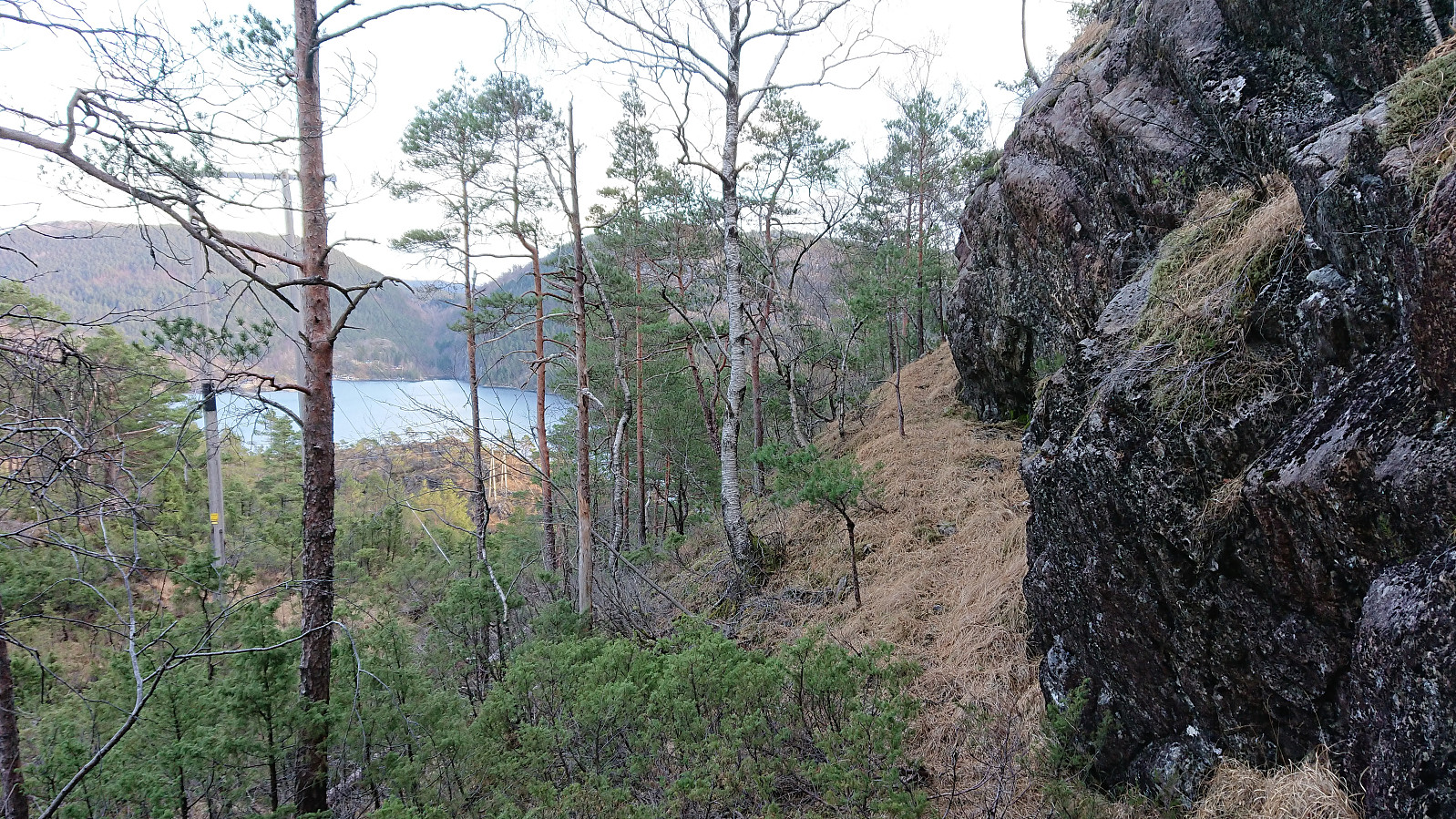
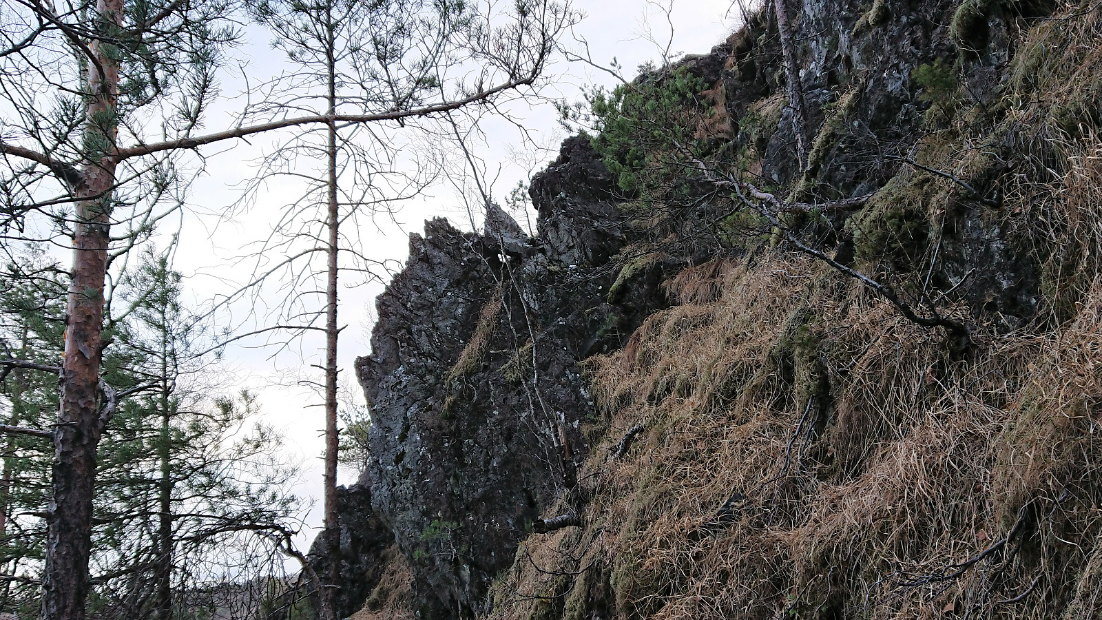
The first real challenge was how to get up on the ridge, as most locations were too steep. In the end I found what looked like the most promising route, and with a bit of light climbing I reached the ridge. From there on it was straightforward to head south to the summit.
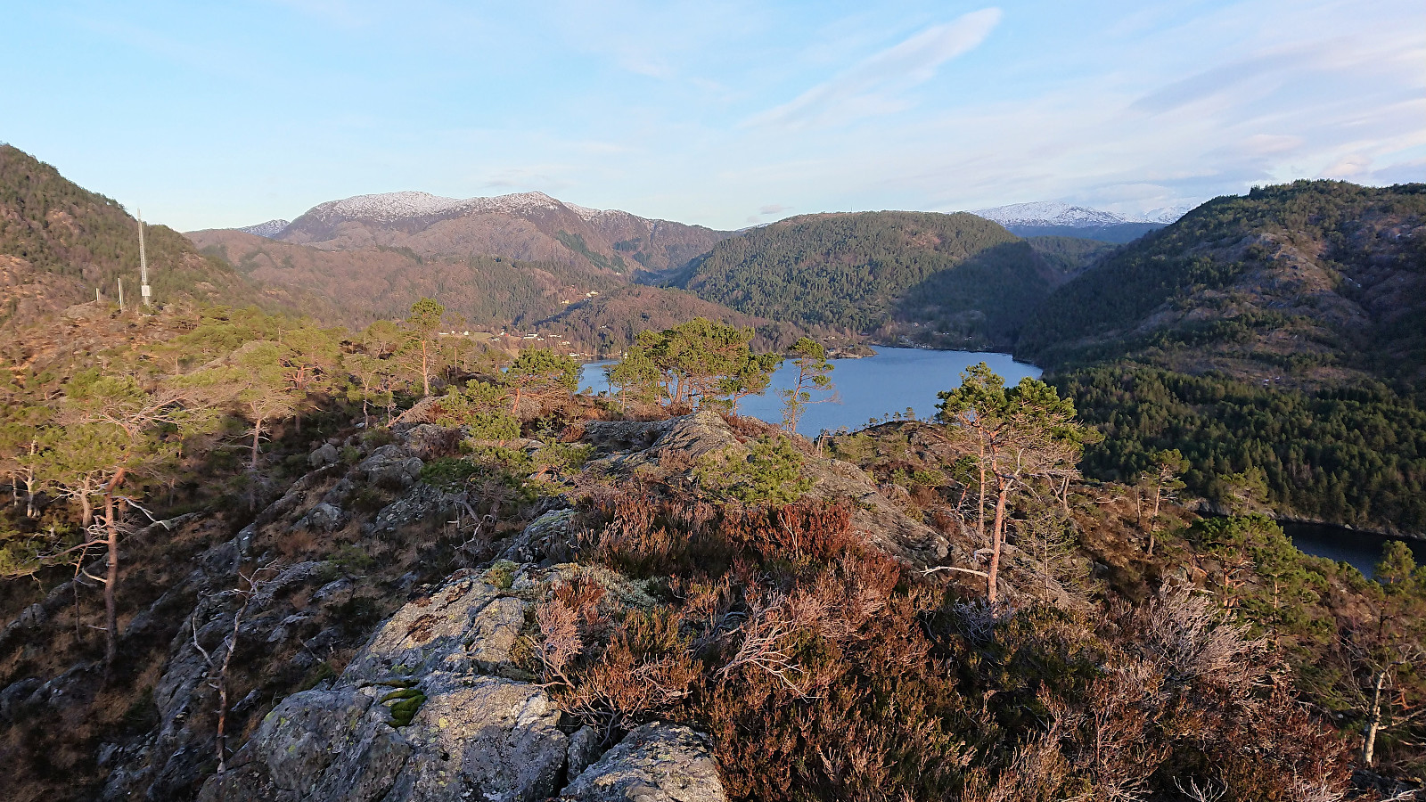
To my surprise the view toward the south was rather limited due to lots of trees on a lower hill further south, but the views in the other directions made up for this. Did not stay very long though, as there was a bus to catch. So after the mandatory pictures I started the descent, following more or less the same path. The climbing was slightly more tricky when going down, but nothing too difficult.
Soon I was back on the main road and the start of the winding gravel road up Brekkekleiva, and after completing the climb, all that was left was the walk back down to the bus stop. After reconnecting with my colleague, we had a quick lunch before the final lap. However we soon realized that it had not been quick enough, and a bit of running was required to not miss the bus.
Overall, a very nice hike that can be highly recommended to those planning to visit Store Sundhaugen and would like to make it into more of a proper hike. Pretty sure that walking a total of 18 km with more than 900 meters ascent only to visit a minor peak 160 meters above sea level has to be some sort of record though..? ;)
| Start date | 20.12.2018 09:19 (UTC+01:00) |
| End date | 20.12.2018 15:09 (UTC+01:00) |
| Total Time | 5h 49min |
| Moving Time | 4h 54min |
| Stopped Time | 0h 54min |
| Overall Average | 3.1km/h |
| Moving Average | 3.7km/h |
| Distance | 18.1km |
| Vertical meters | 905m |

User comments