Liahedda from Mastreskare (09.12.2018)

| Start point | Mastreskare (86m) |
|---|---|
| Endpoint | Mastreskare (84m) |
| Characteristic | Hillwalk |
| Duration | 2h 32min |
| Distance | 8.8km |
| Vertical meters | 459m |
| GPS |
|
| Ascents | Liahedda (265m) | 09.12.2018 |
|---|
Liahedda from Mastreskare
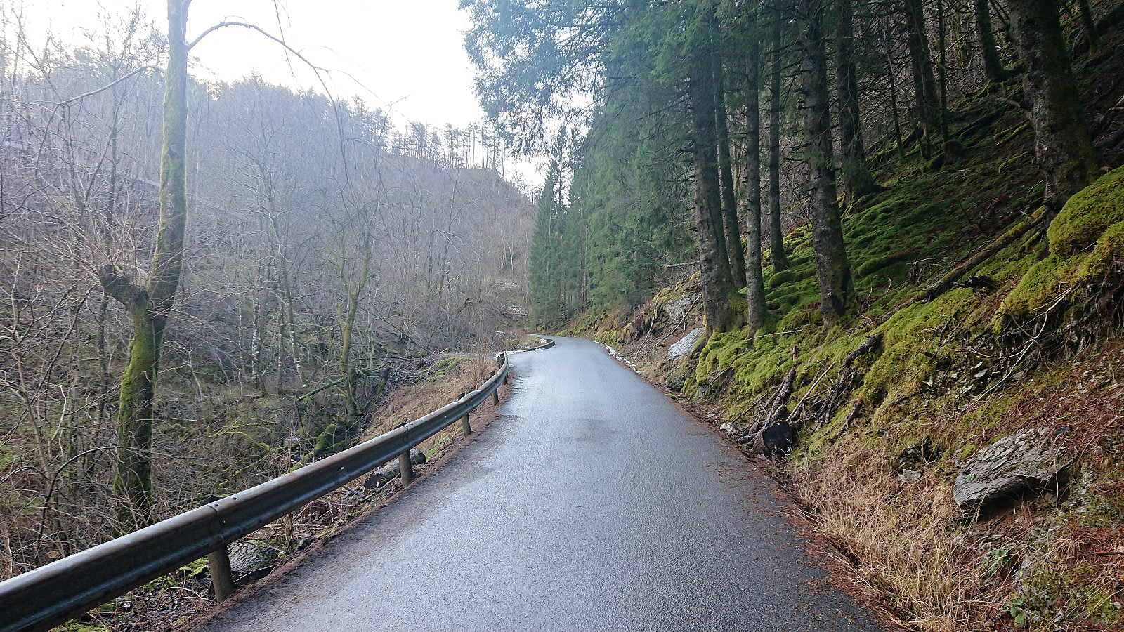
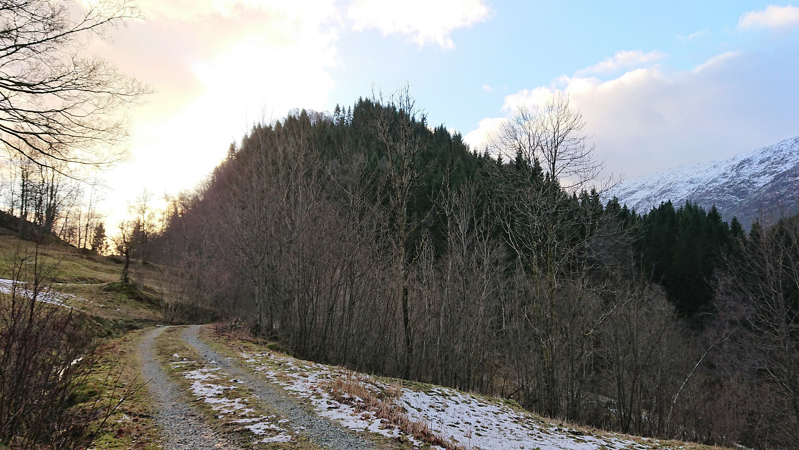
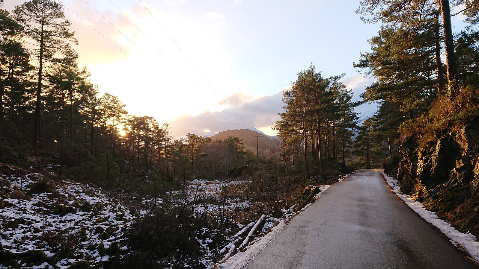
Started by taking the bus to Mastreskare (called Masterskaret on the map) and following the paved road south to Kleppe. Slightly more difficult than expected due to parts of the road being covered by a thin layer of ice. I managed to stay on my feet though, and soon arrived at the smaller road toward Skar.
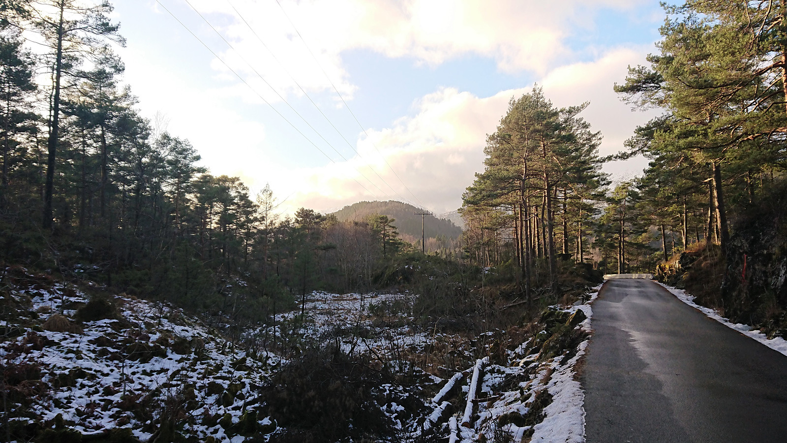
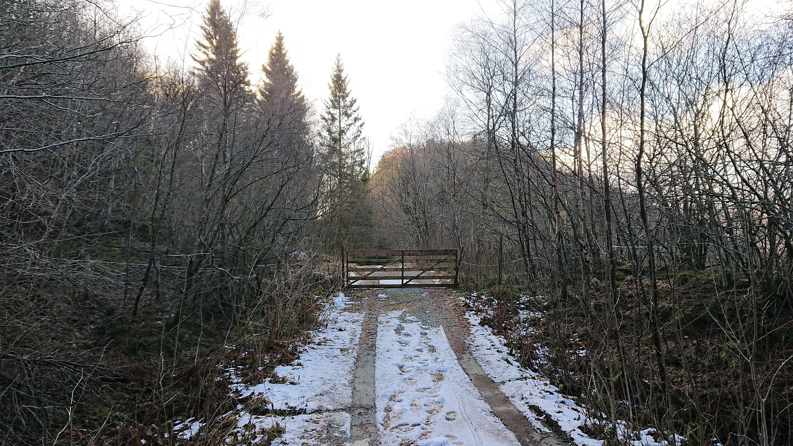
After passing the last houses (not counting the ones at the very end of the road) the road turned into a gravel road and soon there was also a small gate. On the other side of the gate there were two grazing horses, but they paid little attention to me as I continued to the small parking lot where the road ended.
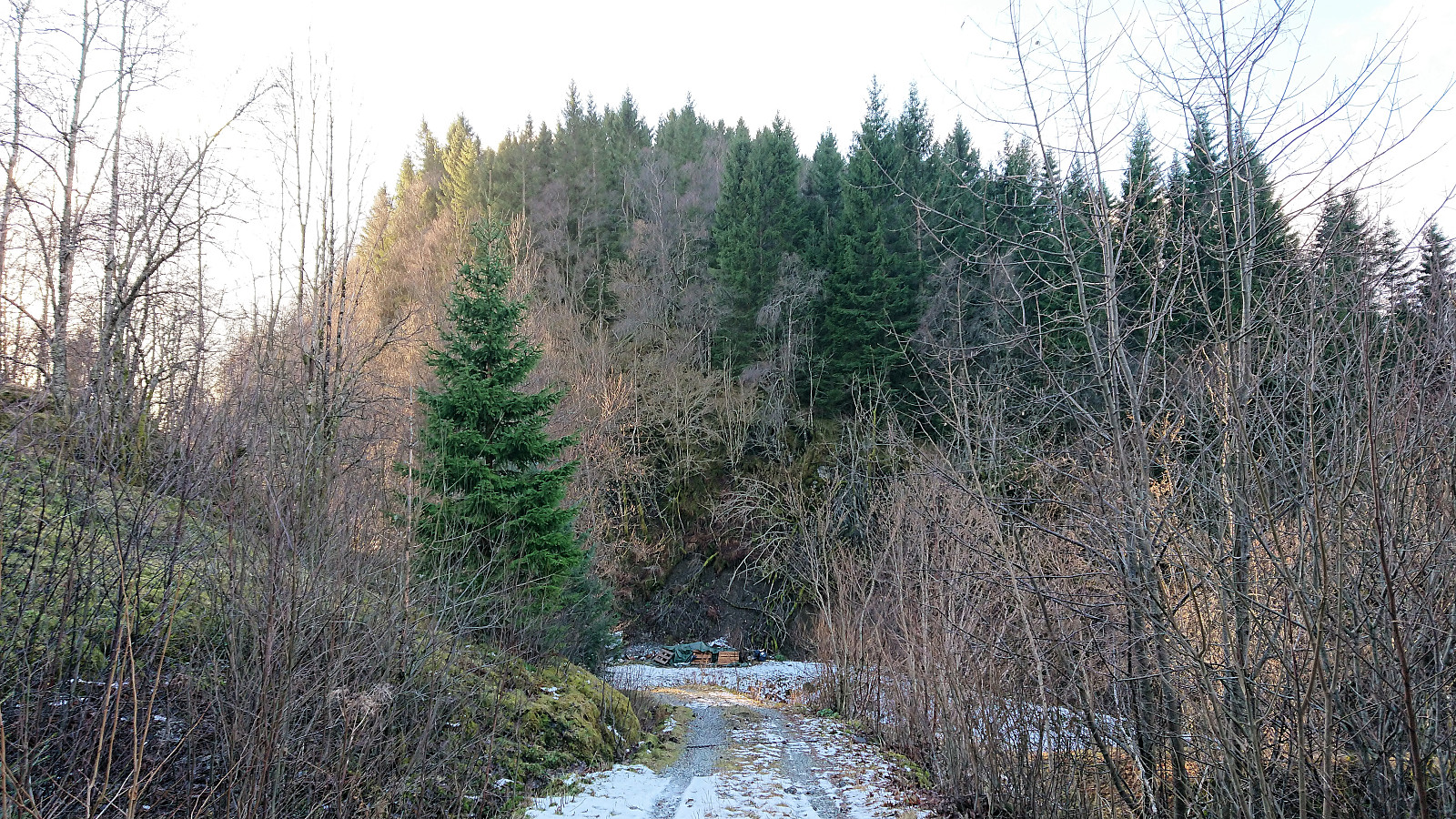
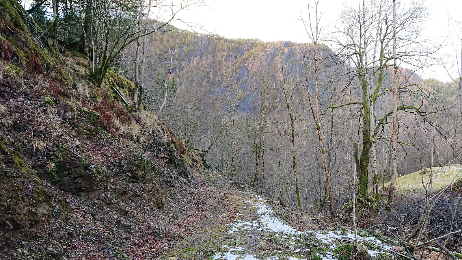
At this point I was a bit unsure how to proceed, as the direct route forward was way too steep. Ended up turning right (north) and ascending the ridge from there. Not a clear trail, but I soon came across a steep trail coming up from the south, which would perhaps have been an easier option.
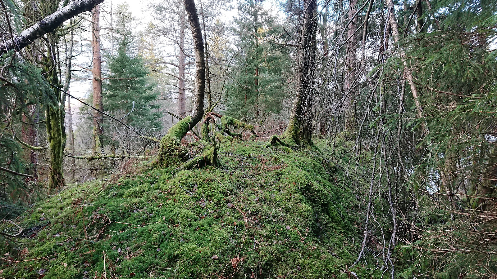
From there on I followed various deer tracks, but soon realized that these were not heading towards the summit, but rather leading me east of the ridge and into very steep terrain. I therefore retraced my steps to find an easier ascent, and found one that, while still steep, could be used without any real difficulty, and I shortly reached the ridge. Here the terrain levelled off and it was straightforward to make progress towards the summit.
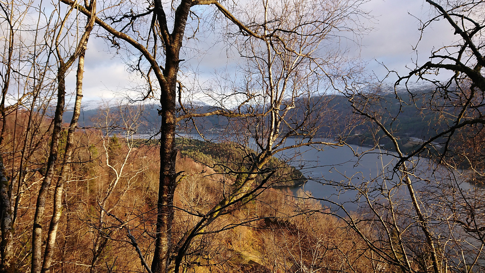
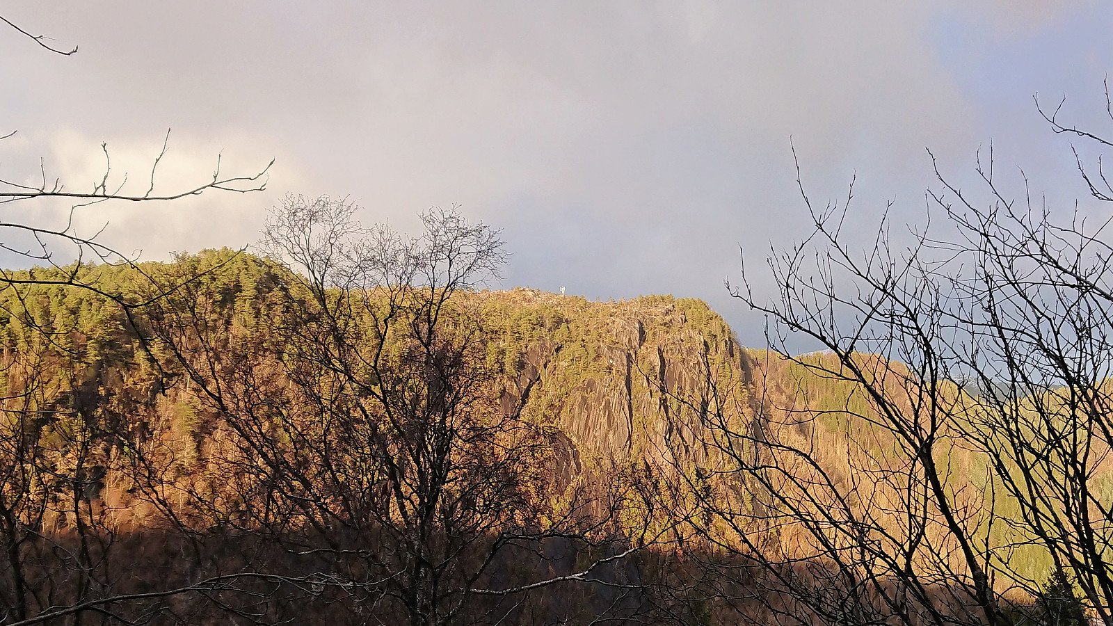
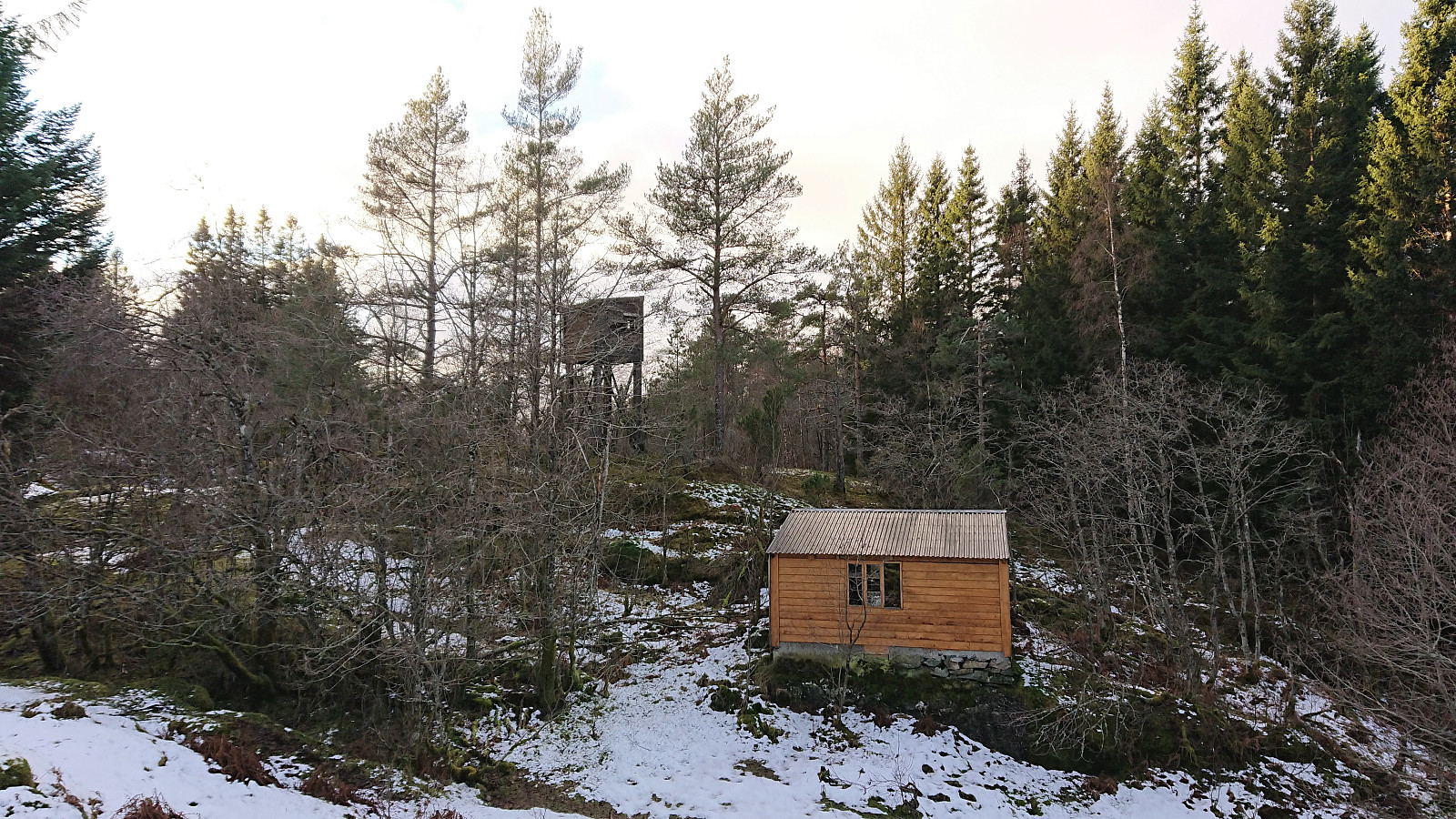
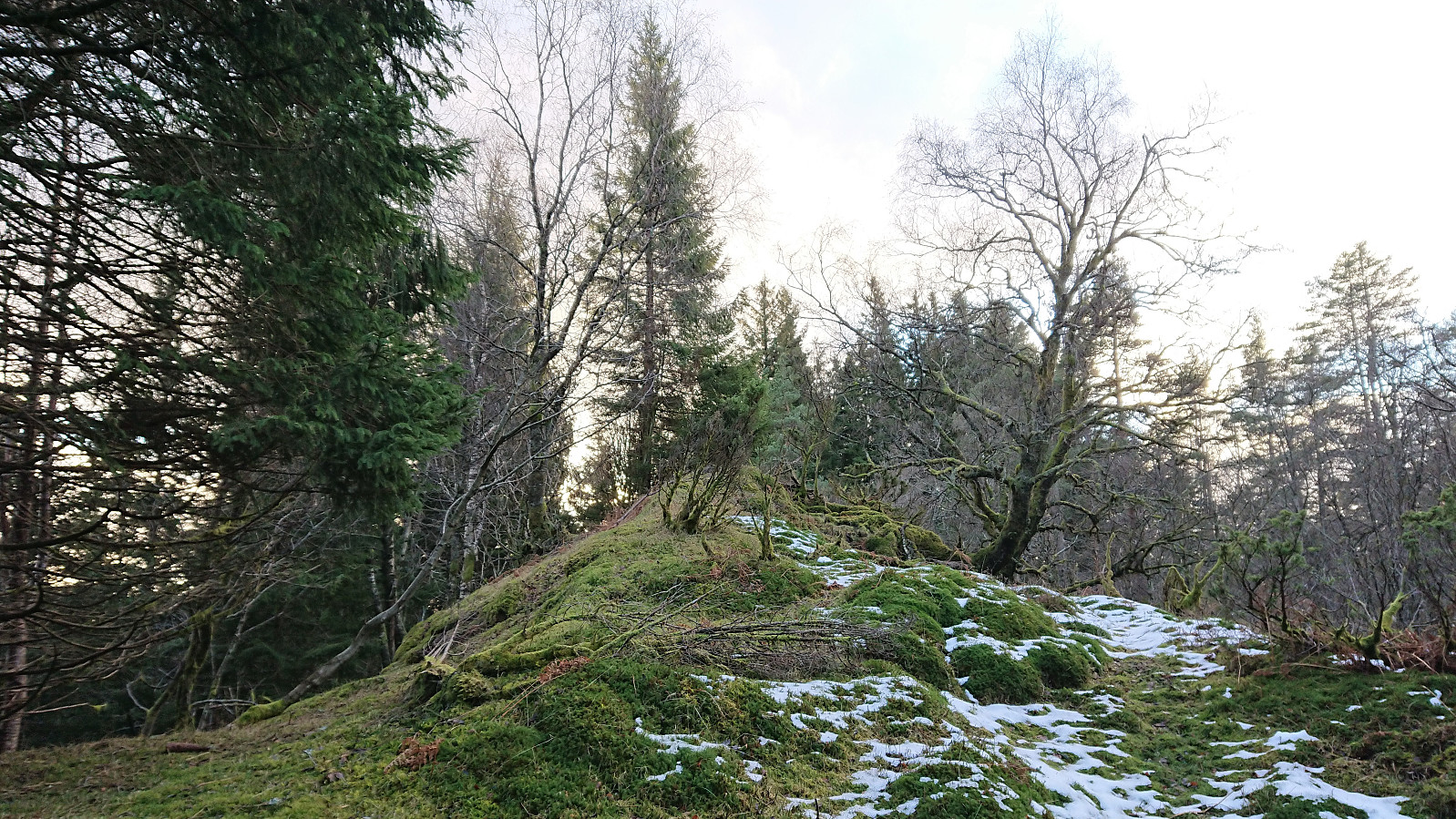
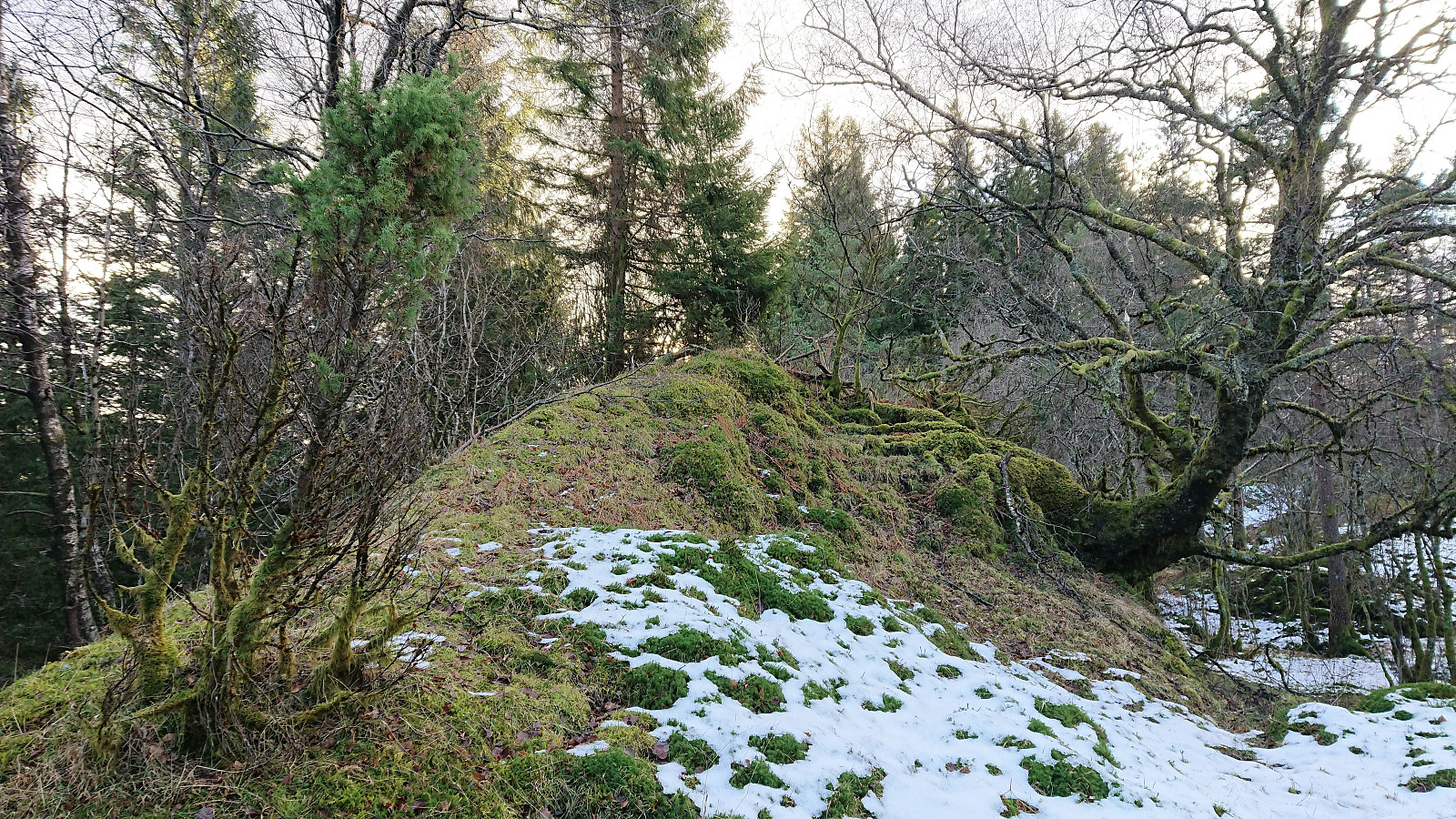
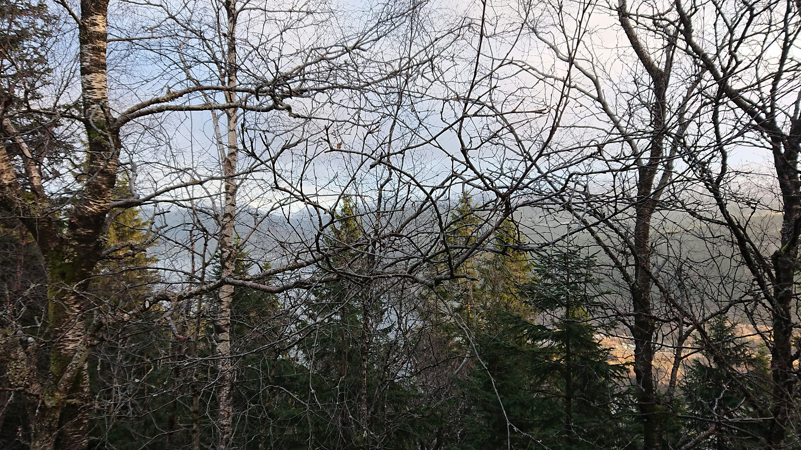
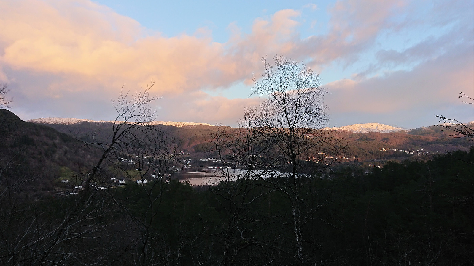
Just north of the summit I passed by a small hunting cabin and corresponding tower, and at the very same time a deer could be heard running away in the distance. The hunters clearly knew what they were doing when they set up the buildings. The summit provided very limited views and I did not stay long before starting my descent. But first I made a short detour to the alternative southern summit less than 100 meters to the southwest. I considered continuing even further south to see if better views could be obtained, but quickly gave up on the idea.
For the descent I followed more or less the same route with the only tricky part being to relocate the right place to descend down the steepest section of the ridge. After reaching the parking lot, I walked slowly (given that I had plenty of time to the next bus) back to the main road. Still managed to get to the bus stop with 15-20 minutes to spare, but thankfully the wait was not too cold. (Interestingly, when the bus did arrive, its sign indicated that the bus was full and that a second bus was on the way. Thankfully, this next bus came within a minute or two. Especially given that the next scheduled bus was not until another hour...)
In summary, this hike turned out more or less as expected and did not provide any real difficulties nor much in terms of views. Pretty sure this is the kind of peak people only visit once (if at all), and probably most of those visitors will be members of Peakbook. ;)
| Start date | 09.12.2018 12:29 (UTC+01:00) |
| End date | 09.12.2018 15:03 (UTC+01:00) |
| Total Time | 2h 32min |
| Moving Time | 2h 27min |
| Stopped Time | 0h 5min |
| Overall Average | 3.4km/h |
| Moving Average | 3.6km/h |
| Distance | 8.8km |
| Vertical meters | 459m |

User comments