Eineråsen (04.11.2018)

| Start point | Hisdal (138m) |
|---|---|
| Endpoint | Hisdal (119m) |
| Characteristic | Hillwalk |
| Duration | 1h 09min |
| Distance | 3.6km |
| Vertical meters | 272m |
| GPS |
|
| Ascents | Eineråsen (341m) | 04.11.2018 |
|---|
Eineråsen
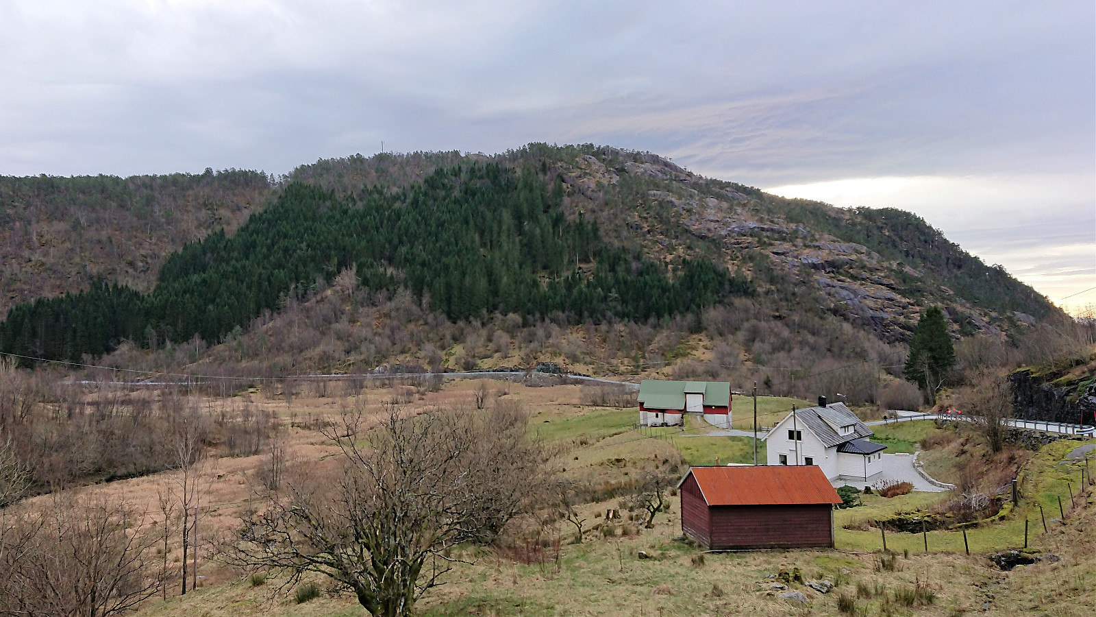
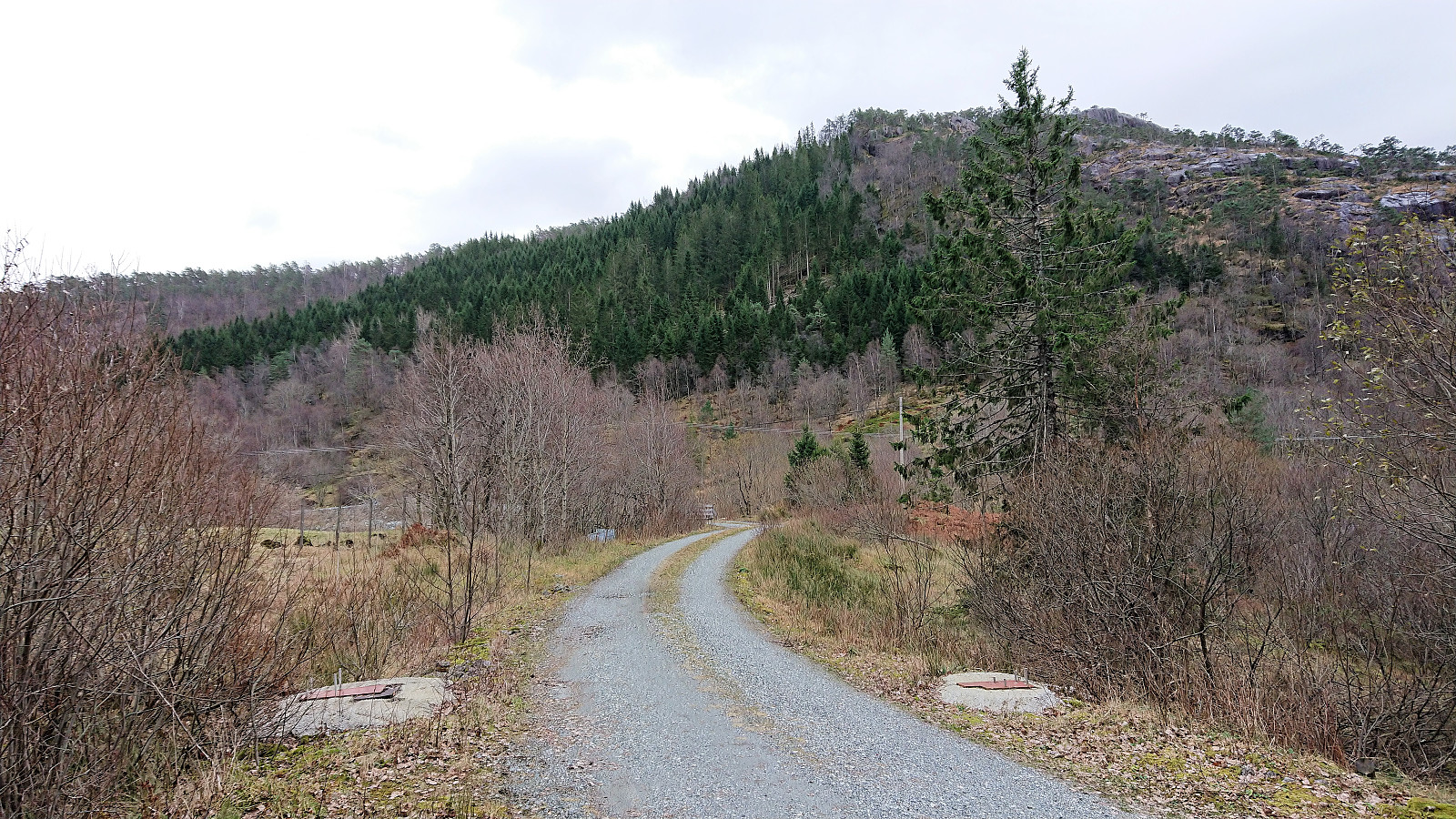
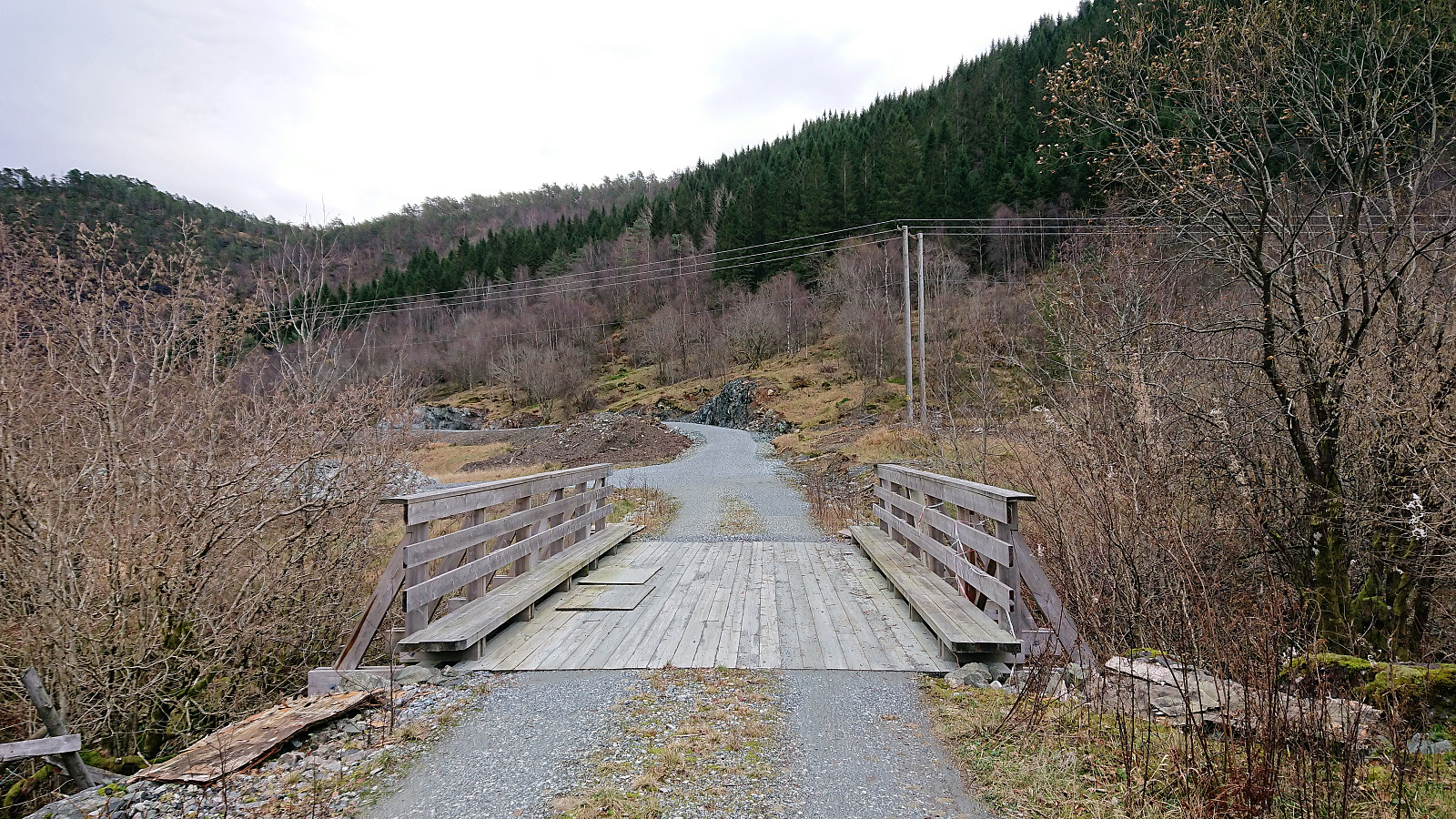
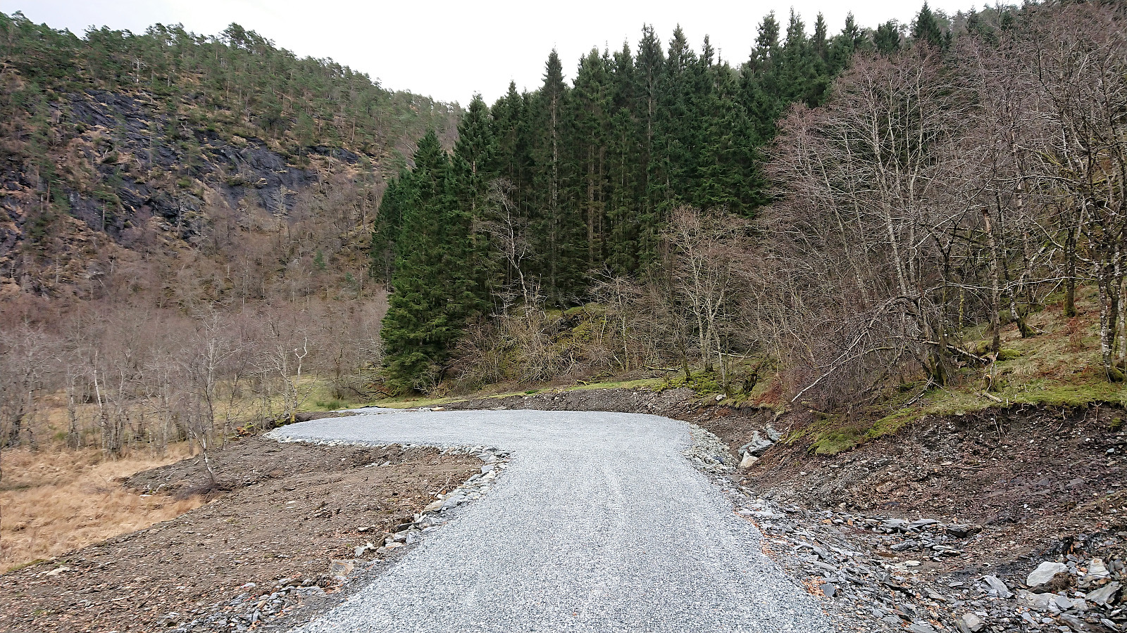
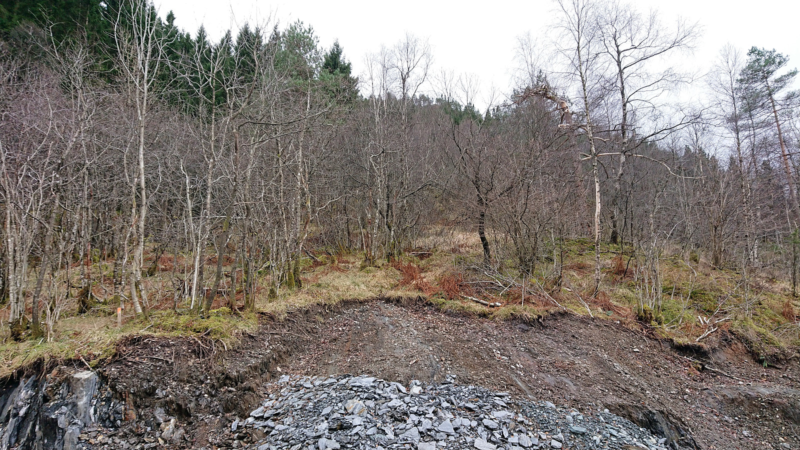
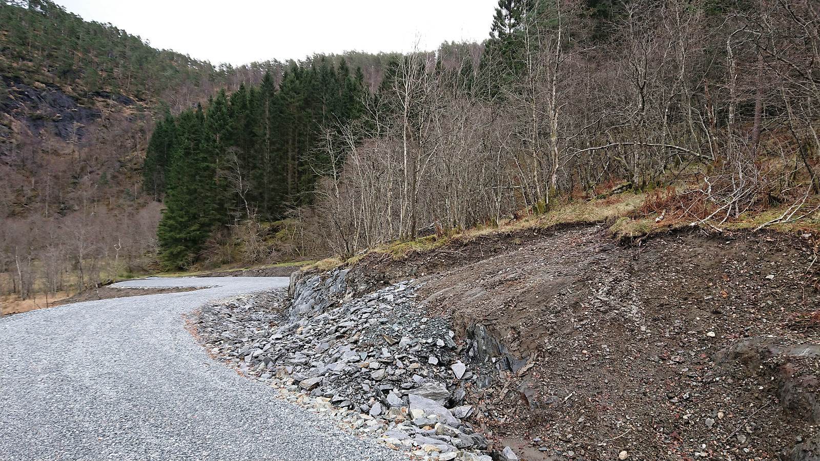
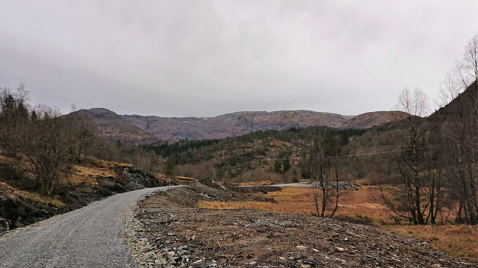
With strong winds and possible rain showers, I decided to avoid the higher peaks and instead headed for Hisdal and Eineråsen. After getting off the bus in Hisdalen, I walked south along the road for about 200 meters until locating the small gravel road heading east. The satellite images on Google Maps had indicated that this road ended just after the bridge, but to my surprise there was now a fairly new gravel road for another 300 meters.
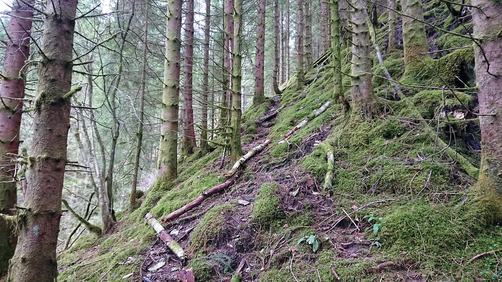
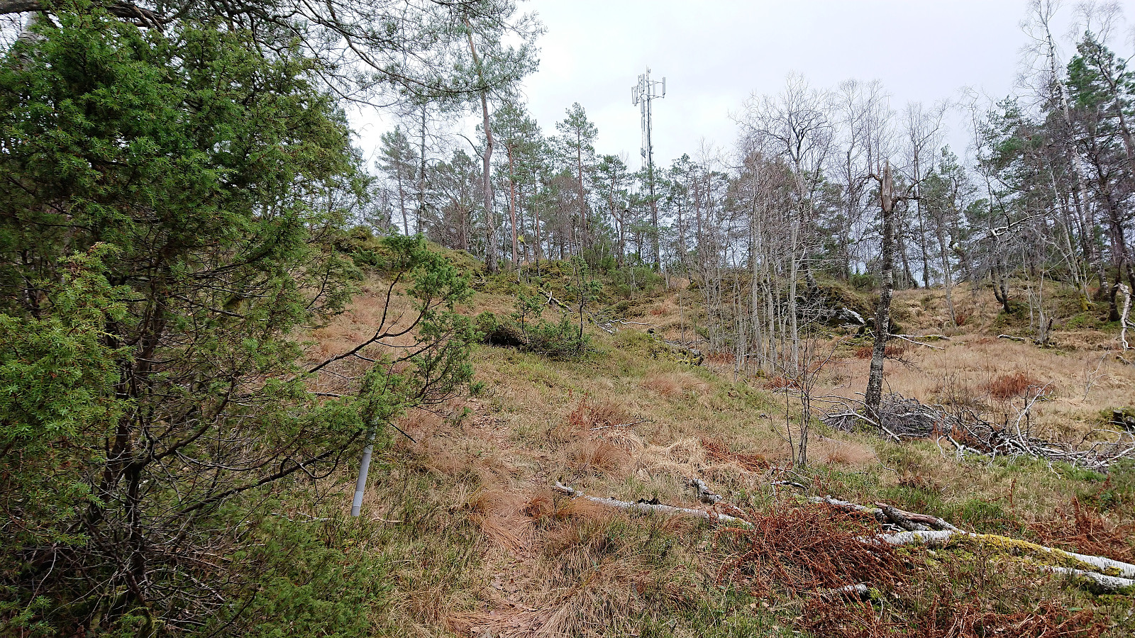
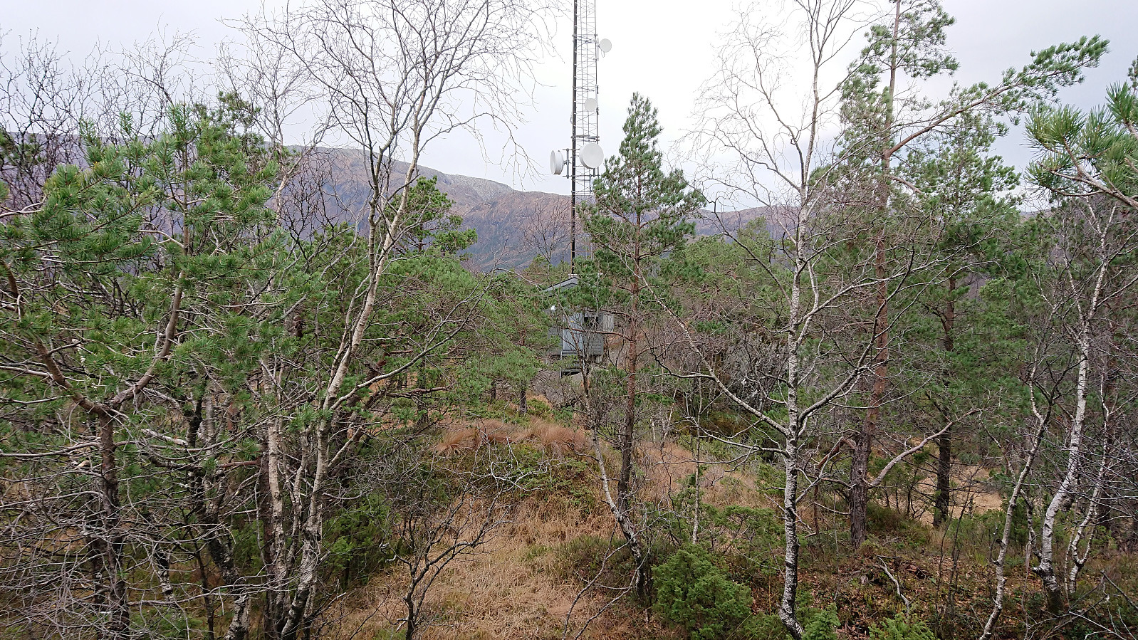
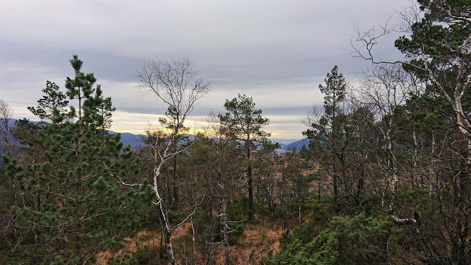
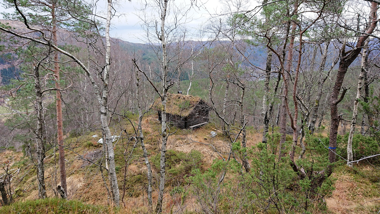
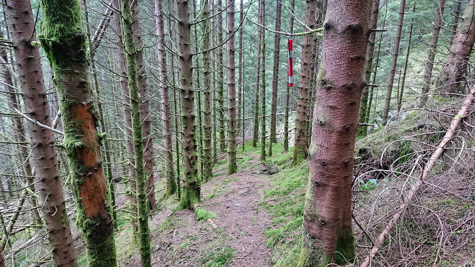
I followed the new road until it ended, all the time looking for trails toward Eineråsen. Did not find any, and instead started my ascent along what looked like a deer track. Relatively steep at first, but the main challenge was the many fallen trees. But by switching between different deer tracks, I still made rapid progress up the hillside. Closer to the summit, the terrain opened up and the slope was less steep. When the antenna next to the summit appeared in the distance, I was surprised to come across both a marked trail and a small cabin just south of the summit.
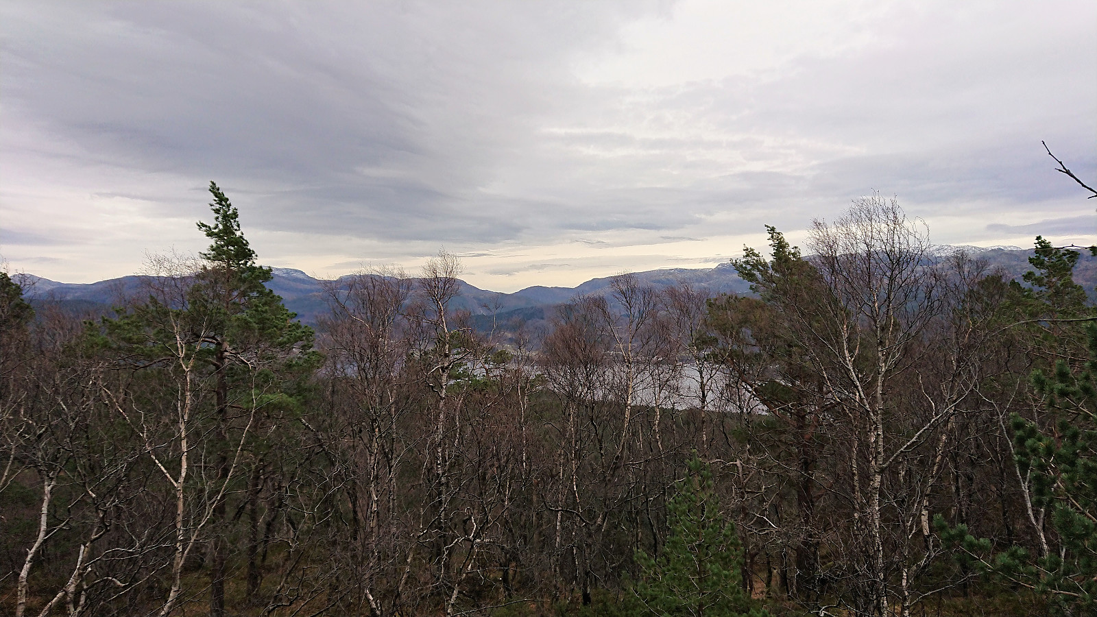
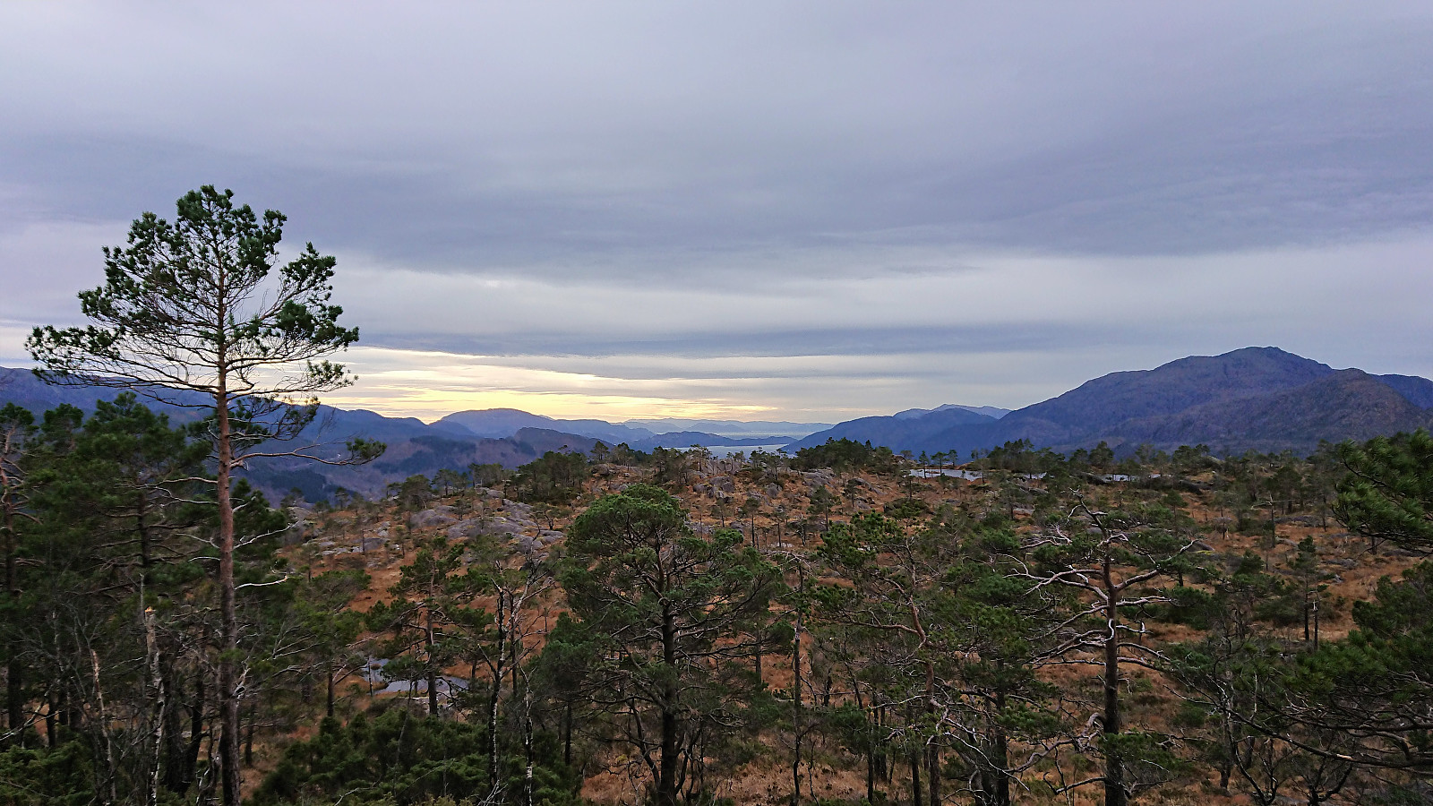
From there it was straightforward to reach the summit, which provided limited views, although much better than expected. By moving slightly away from the summit I also obtained excellent views toward Samnangerfjorden. After a couple of pictures, I started my descent, this time trying to follow the marked trail I had discovered on the ascent.
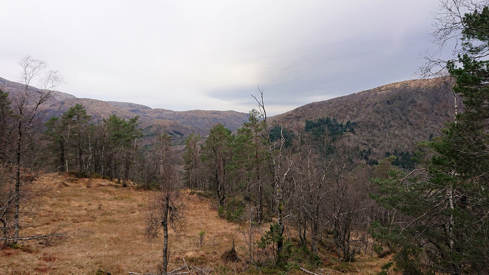
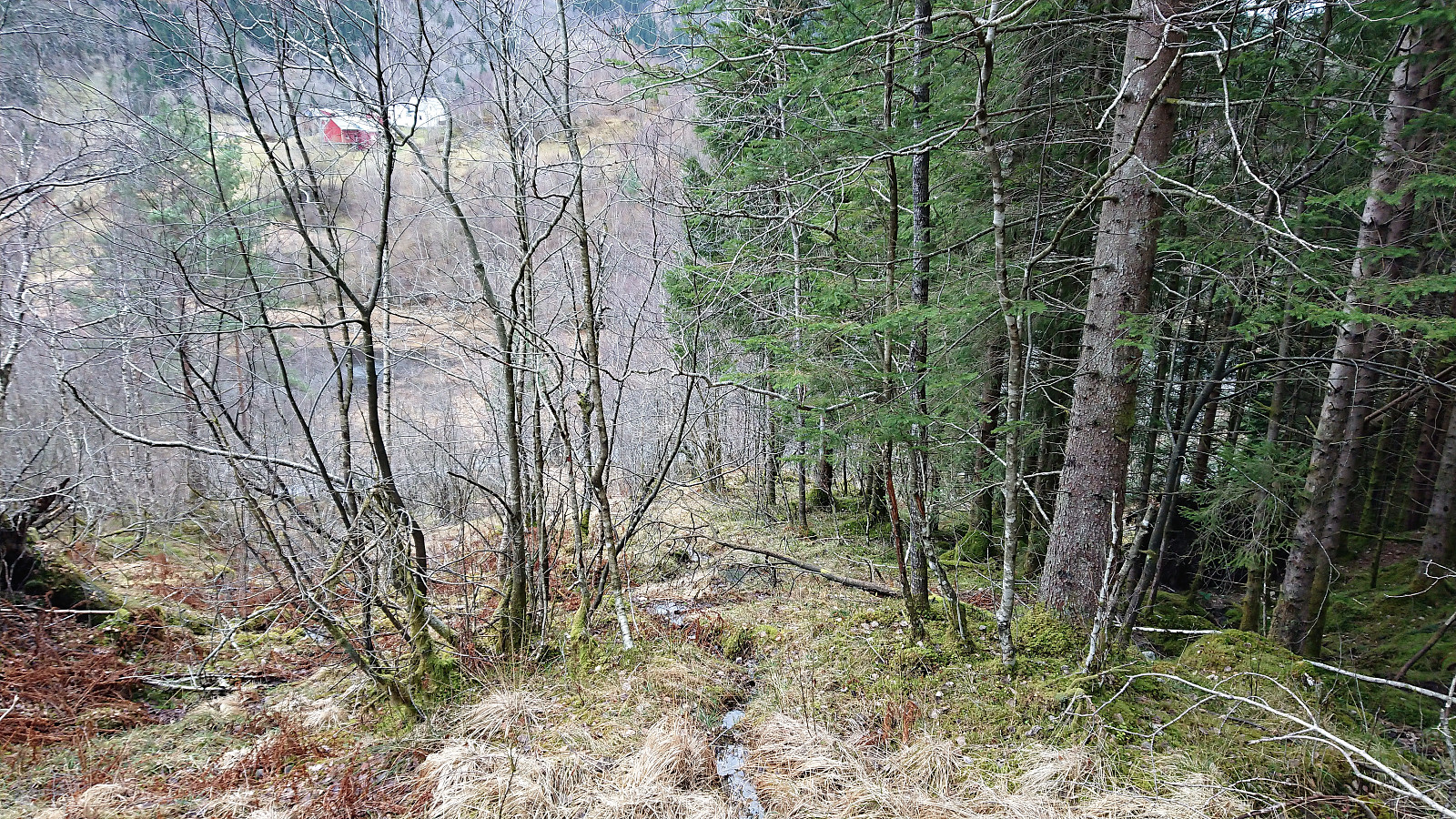
Following the marked trail was not always easy. Partly due it being weak and the red markers often having faded to gray/white, and partly due to fallen trees that had to be bypassed. I lost the trail a couple of times, but managed to relocate it without too much trouble. The trail more or less disappeared just before reaching the gravel road though, and the trailhead was unmarked and easy to miss.
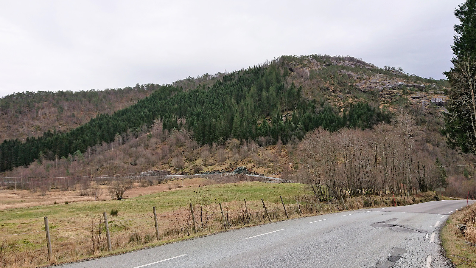
All that remained was to locate the bus stop for the bus back to Bergen. This included a short walk along the main road, but it was thankfully possible to walk on the outside of the guard rails and thus avoid the high-speed traffic.
Overall a more enjoyable hike than expected. Combined with nice views from the summit area and the existence of a trail, it resulted in a short hike that perhaps cannot be highly recommended, but should work fine as an alternative for those days when more ambitious hikes are not possible.
| Start date | 04.11.2018 12:29 (UTC+01:00) |
| End date | 04.11.2018 13:39 (UTC+01:00) |
| Total Time | 1h 09min |
| Moving Time | 1h 07min |
| Stopped Time | 0h 1min |
| Overall Average | 3.1km/h |
| Moving Average | 3.2km/h |
| Distance | 3.6km |
| Vertical meters | 272m |

User comments