Stanghelle to Dale via Storafjellet and Hestafjellet (28.10.2018)

| Startsted | Stanghelle (4moh) |
|---|---|
| Sluttsted | Dale (44moh) |
| Turtype | Fjelltur |
| Turlengde | 7t 24min |
| Distanse | 17,4km |
| Høydemeter | 1392m |
| GPS |
|
| Bestigninger | Hestafjellet (839moh) | 28.10.2018 |
|---|---|---|
| Storafjellet (641moh) | 28.10.2018 | |
| Stutto (291moh) | 28.10.2018 | |
| Andre besøkte PBE'er | Dale stasjon (45moh) | 28.10.2018 |
| Stanghelle stasjon (4moh) | 28.10.2018 |
Stanghelle to Dale via Storafjellet and Hestafjellet
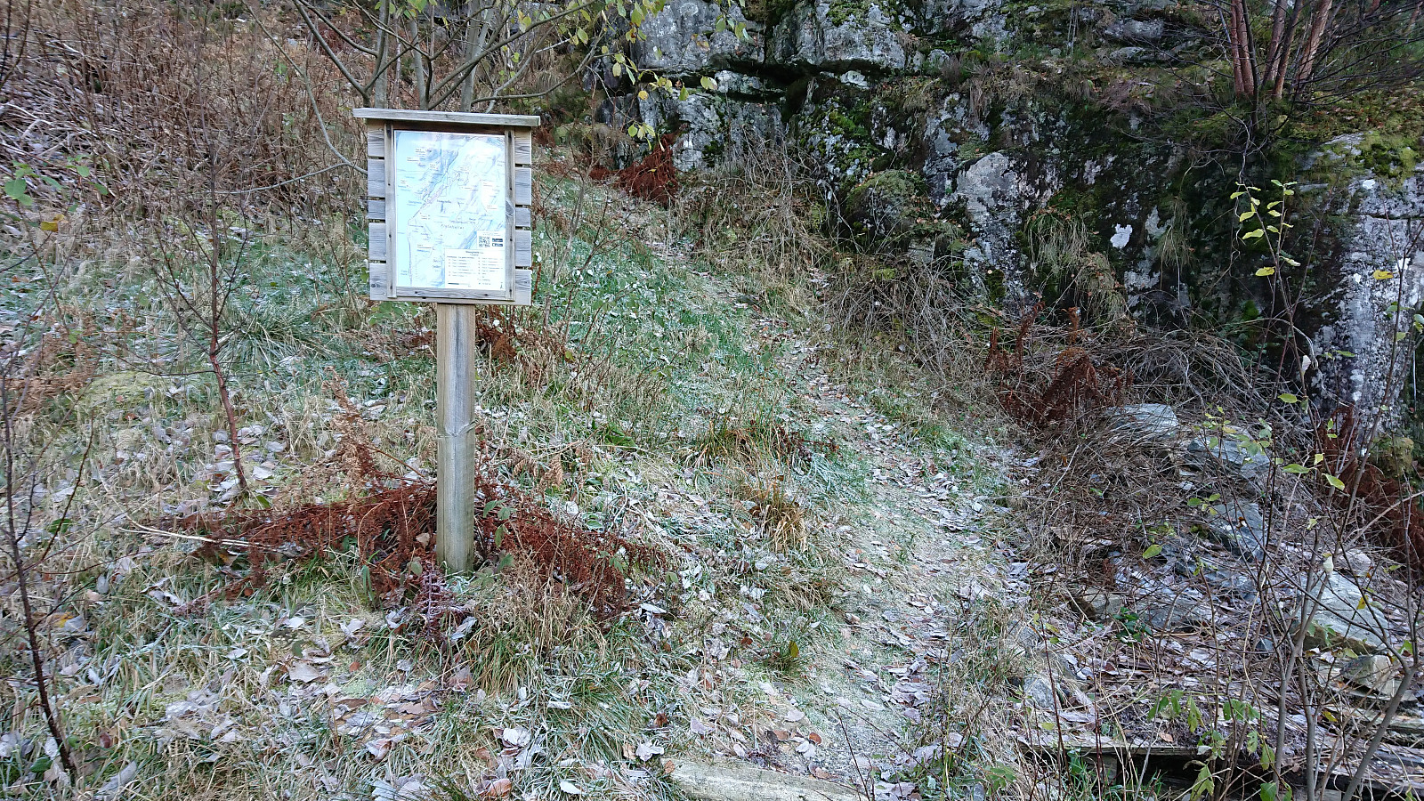
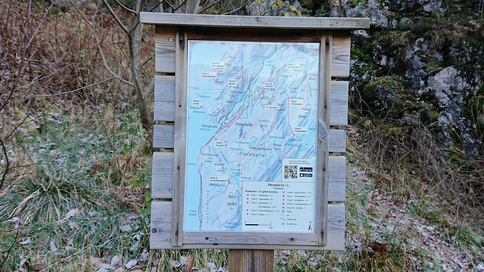
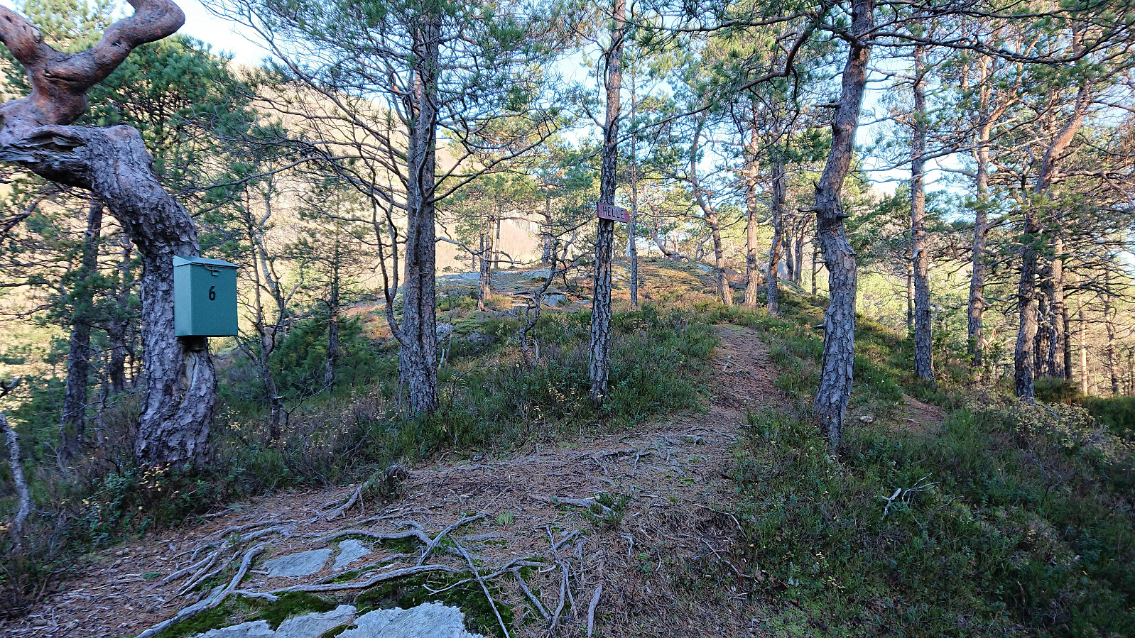
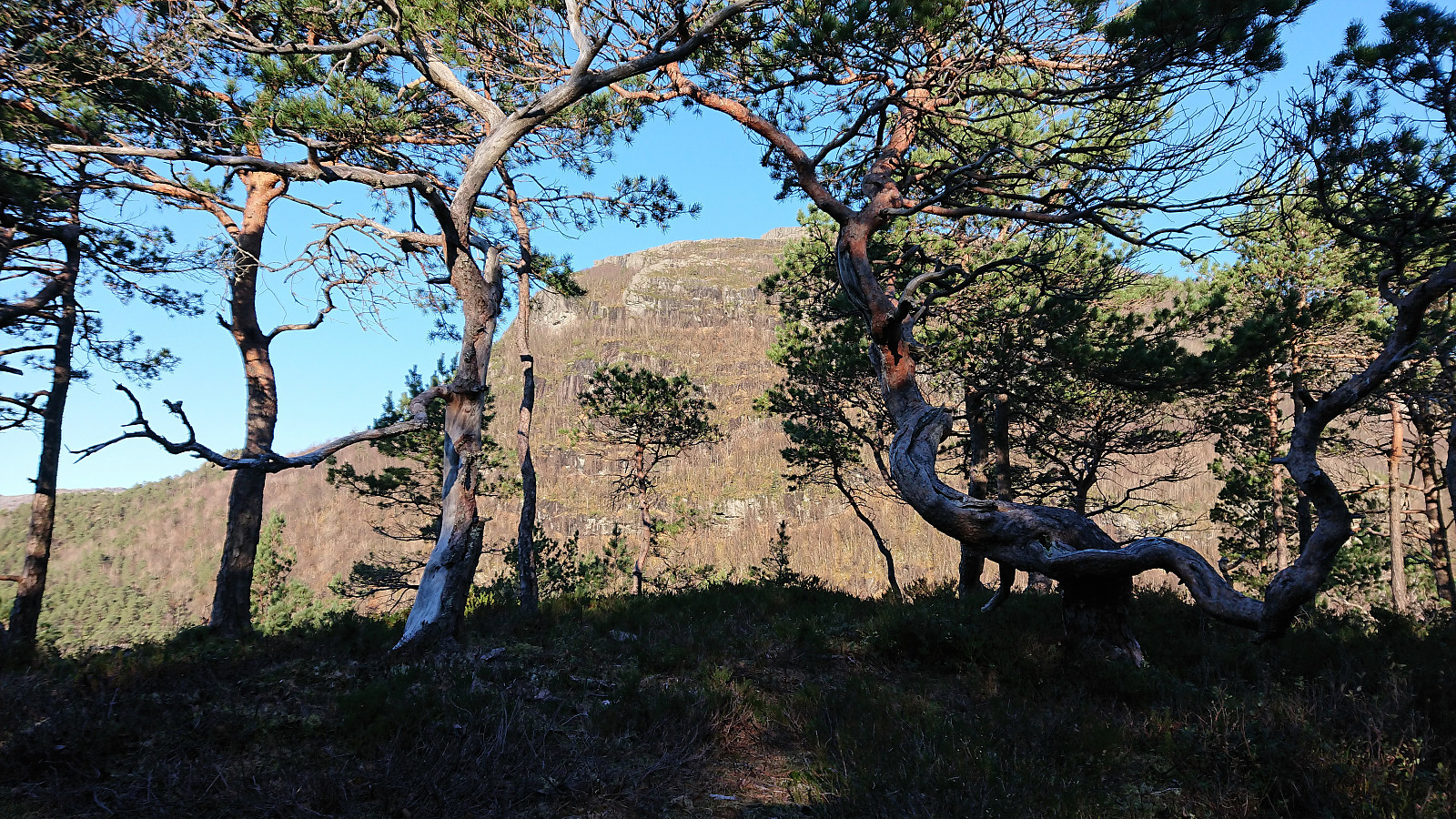
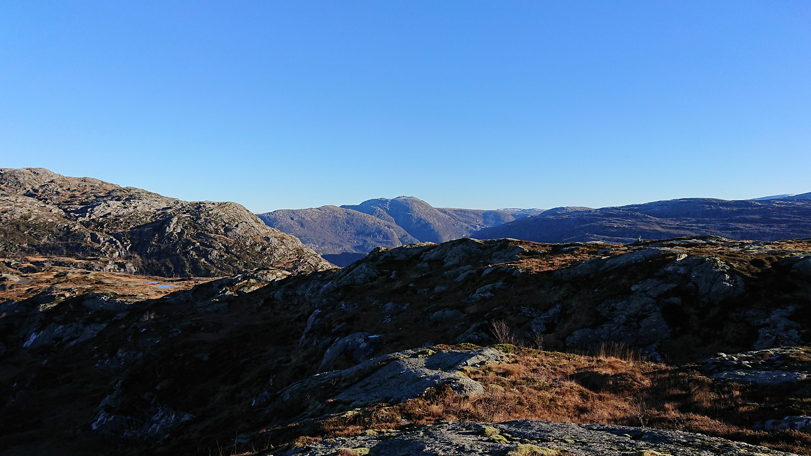
Started by taking the train to Stanghelle and from there easily locating the marked trailhead at Åslia. The trail, which even included a couple of staircases, was easy to follow and we soon arrived at Stutto and the first good views towards Storafjellet. Stutto had its own visitor register and also provided a good view towards Hikletten.
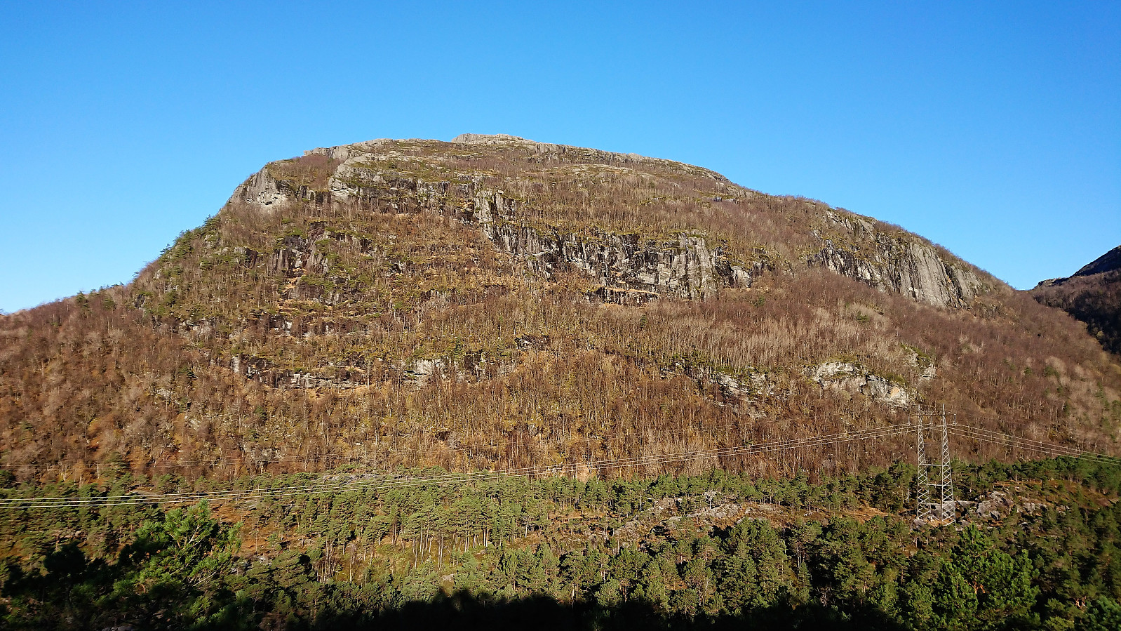
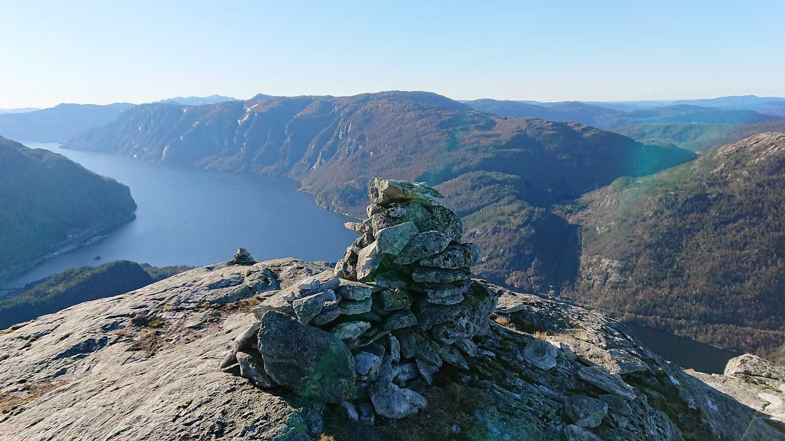
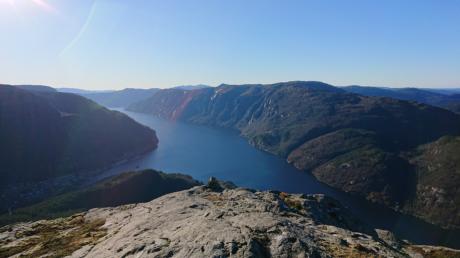
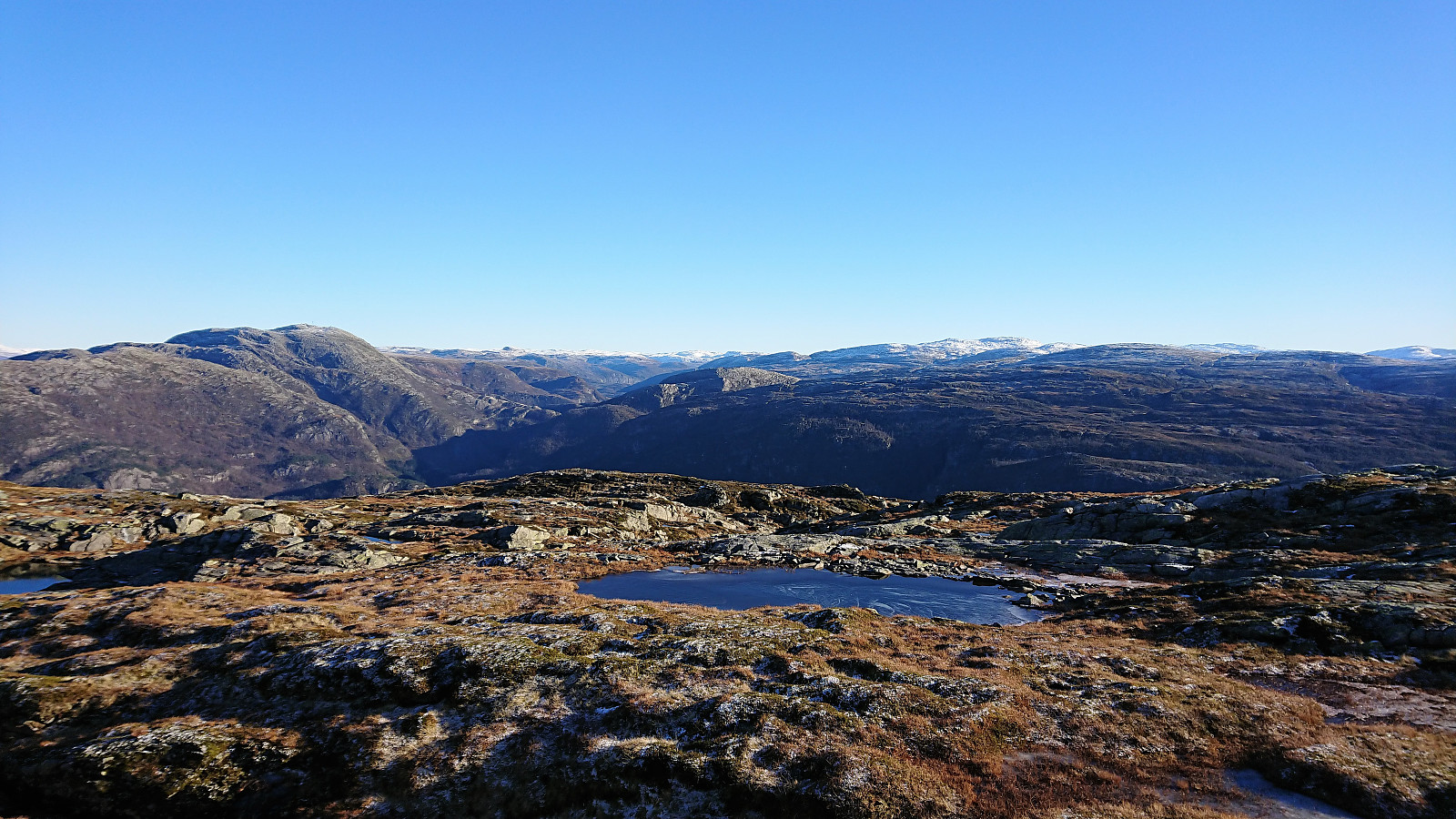
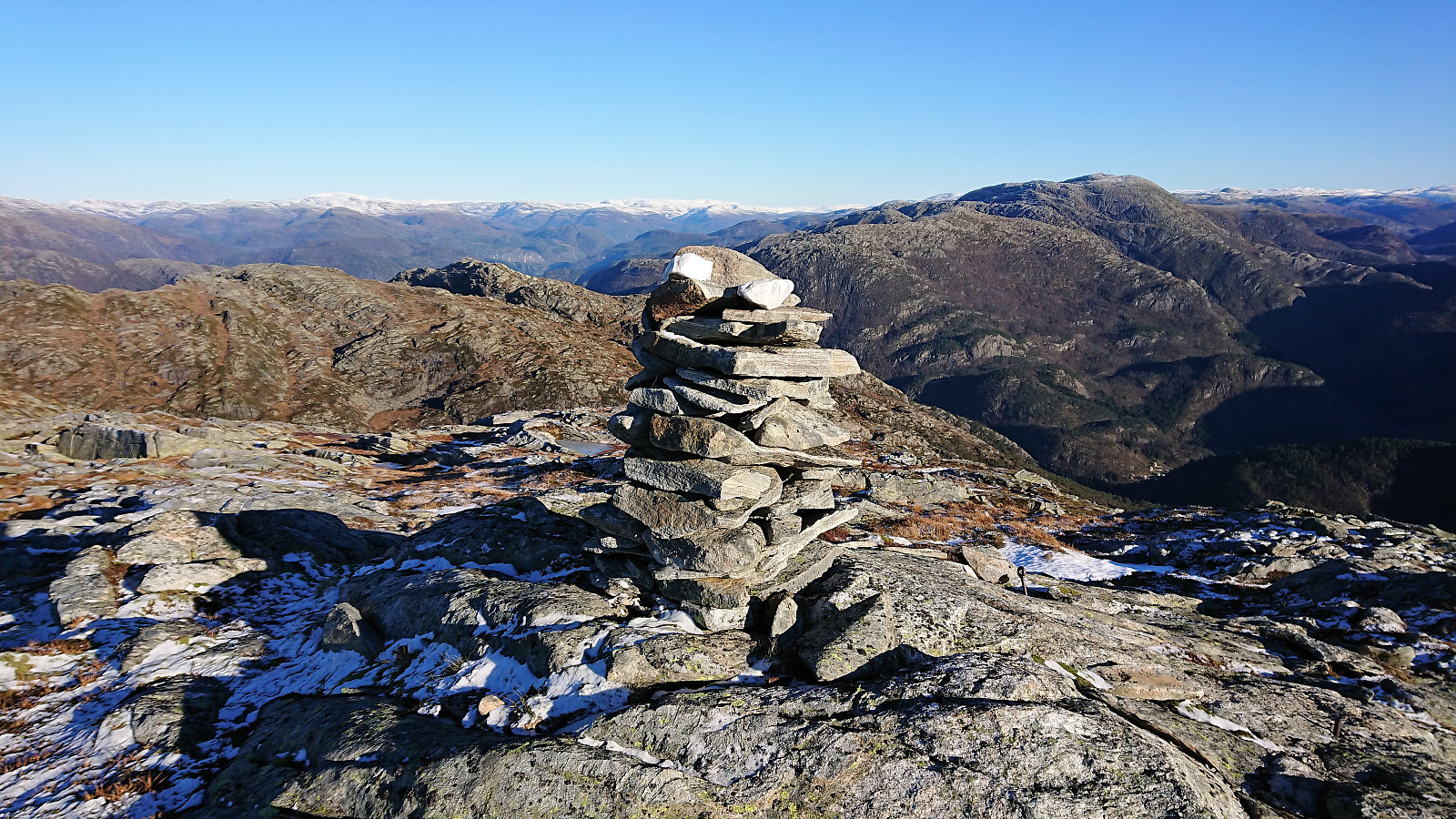
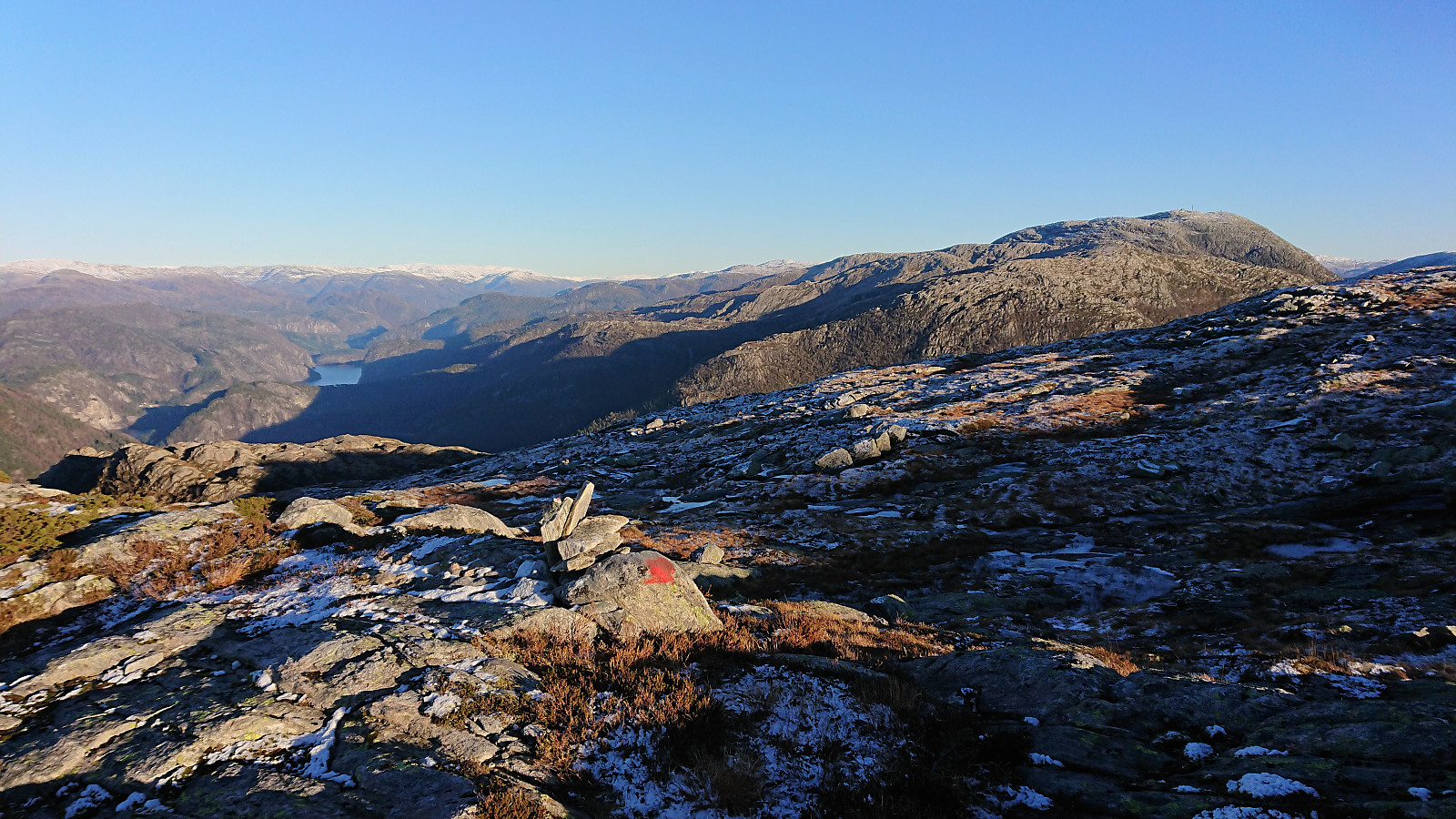
We continued along the marked trail in the direction of Kalddalen and Kalddalselva, but as we got close to the river we lost the trail and instead had to make our own way until reconnecting with the trail shortly after crossing the river. From there on it was straightforward to follow the trail all the way to Storafjellet. The views from Storafjellet were spectacular and clearly worth a visit!
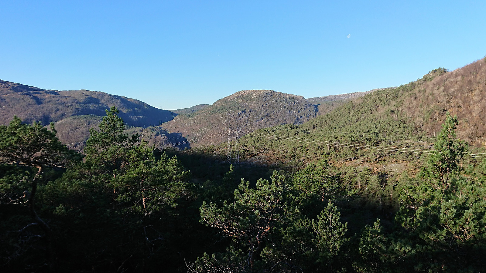
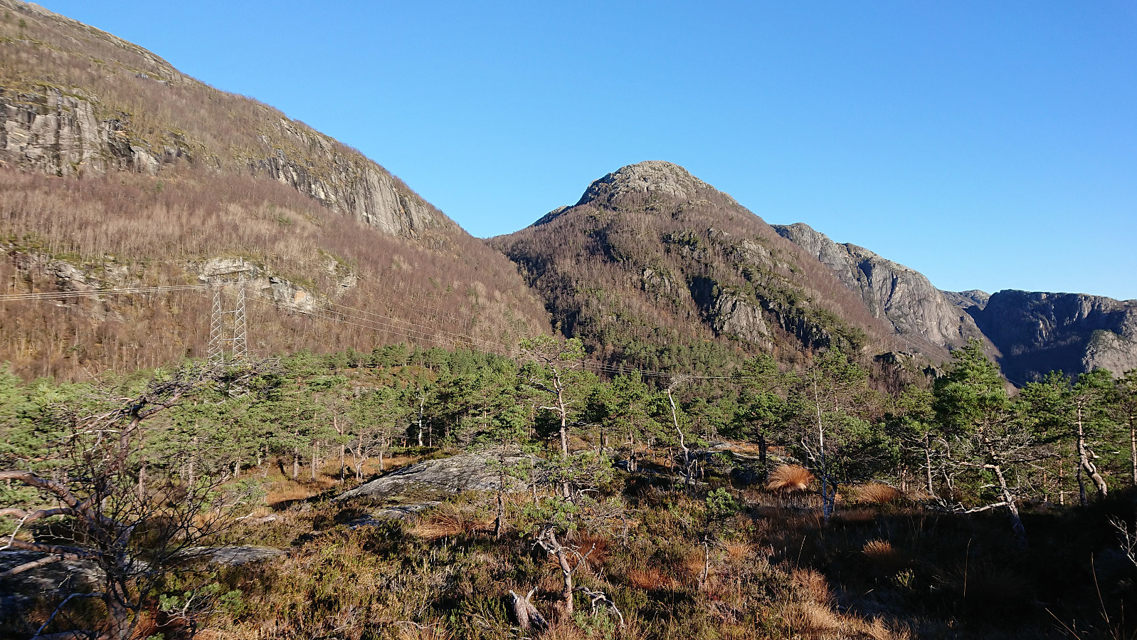
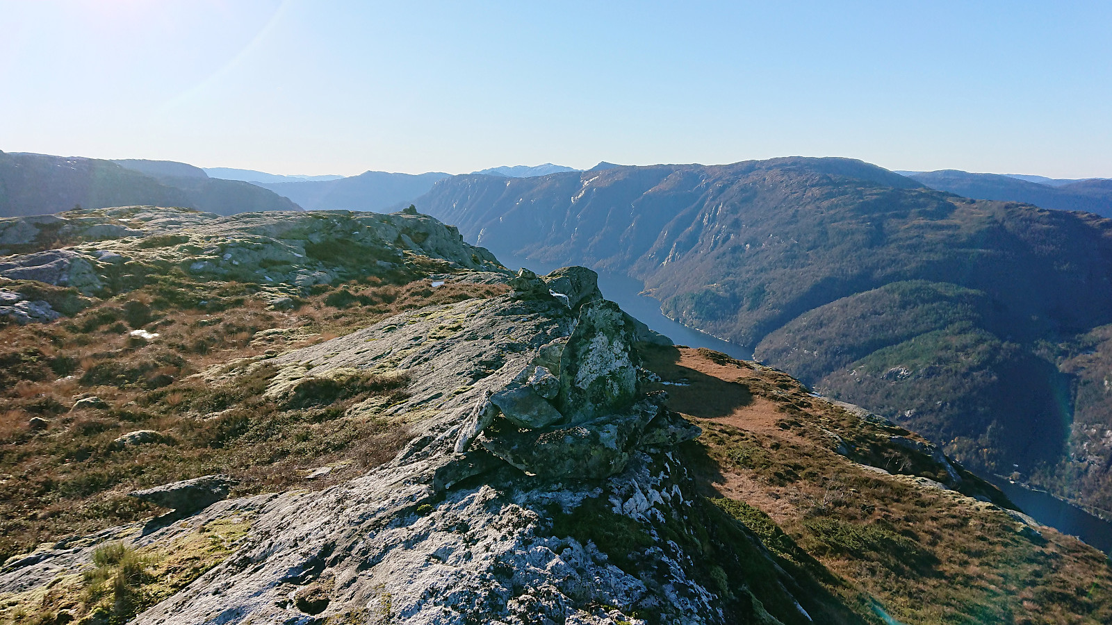
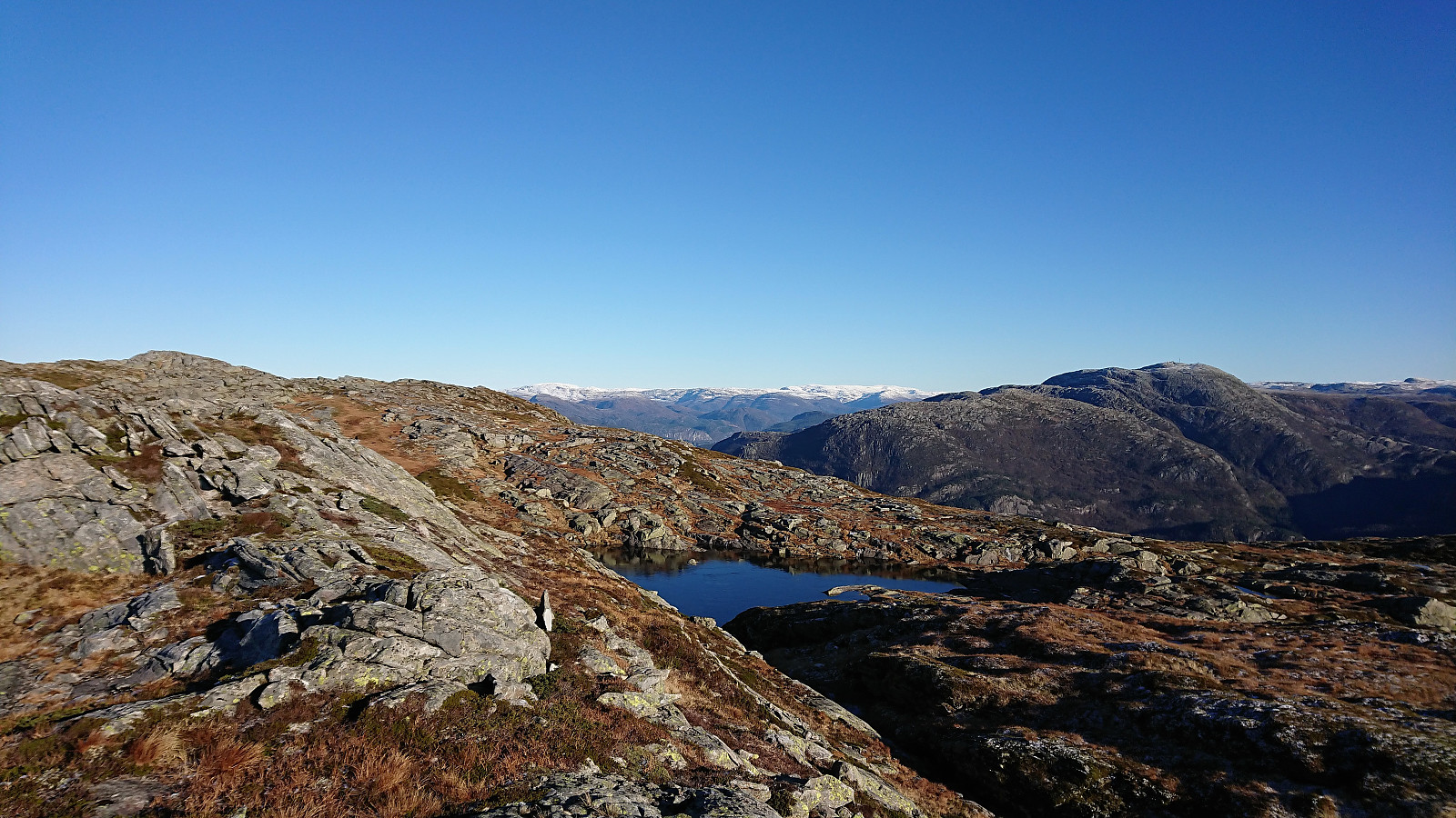
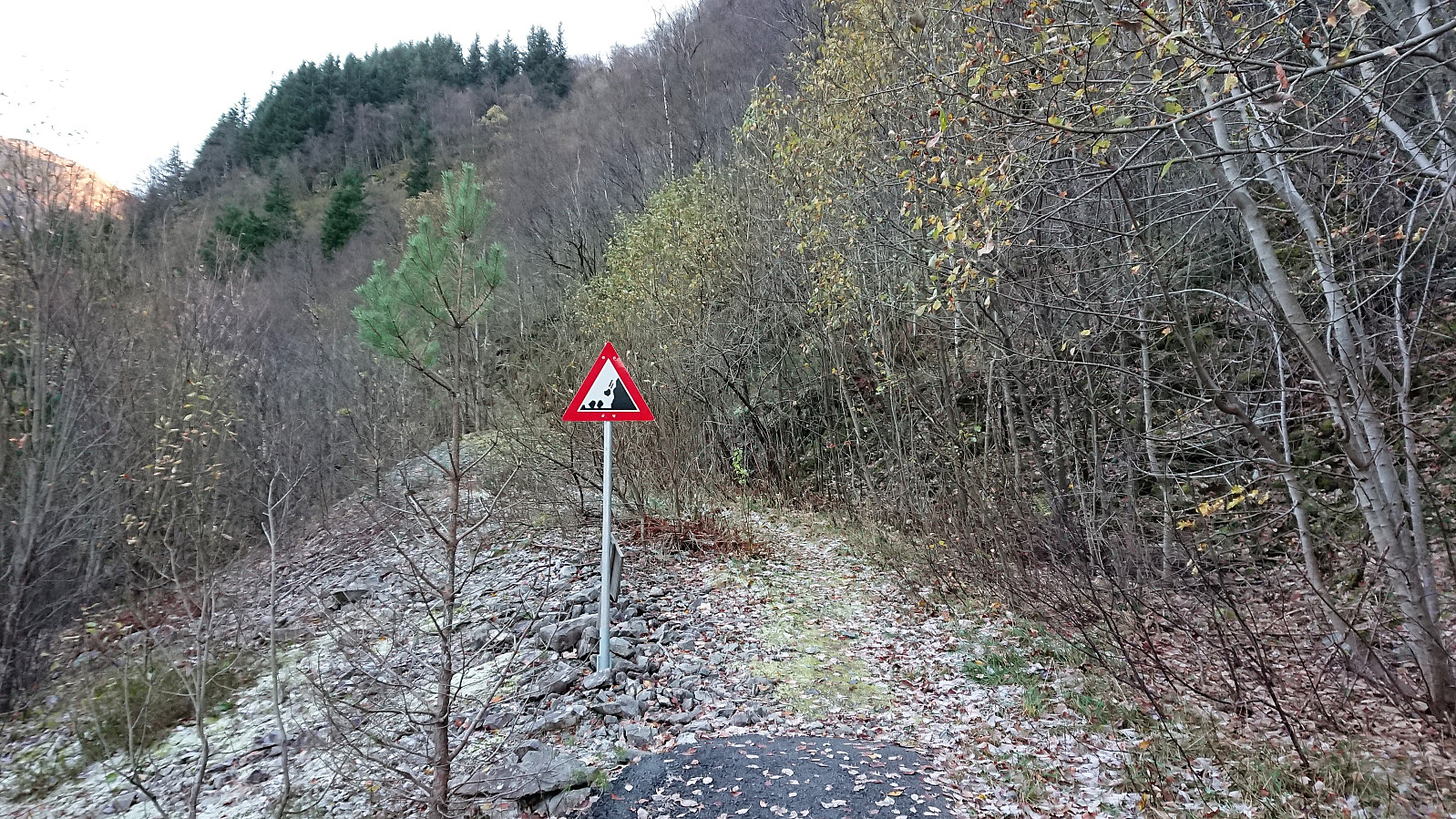
After a quick visit to the smaller cairn at the highest point, we returned to the crossroads indicated on the map with the intention of following the trail to Hestafjellet. However, as previous reports have also indicated, this trail was not to be found, and we therefore had to find our own way instead. (From time to time we did come across what appeared to look like trails, but they usually only lasted for a couple of meters before disappearing.) This involved a bit of light climbing and it was not always easy to figure out the optimal route, resulting in some backtracking, but overall it was not too difficult.
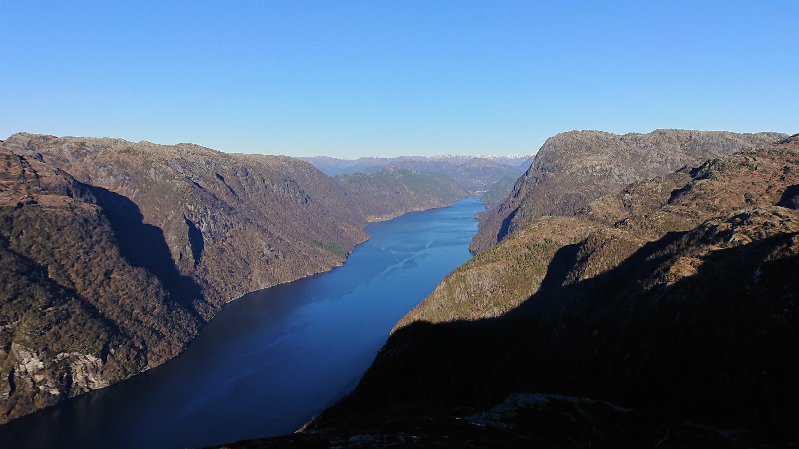
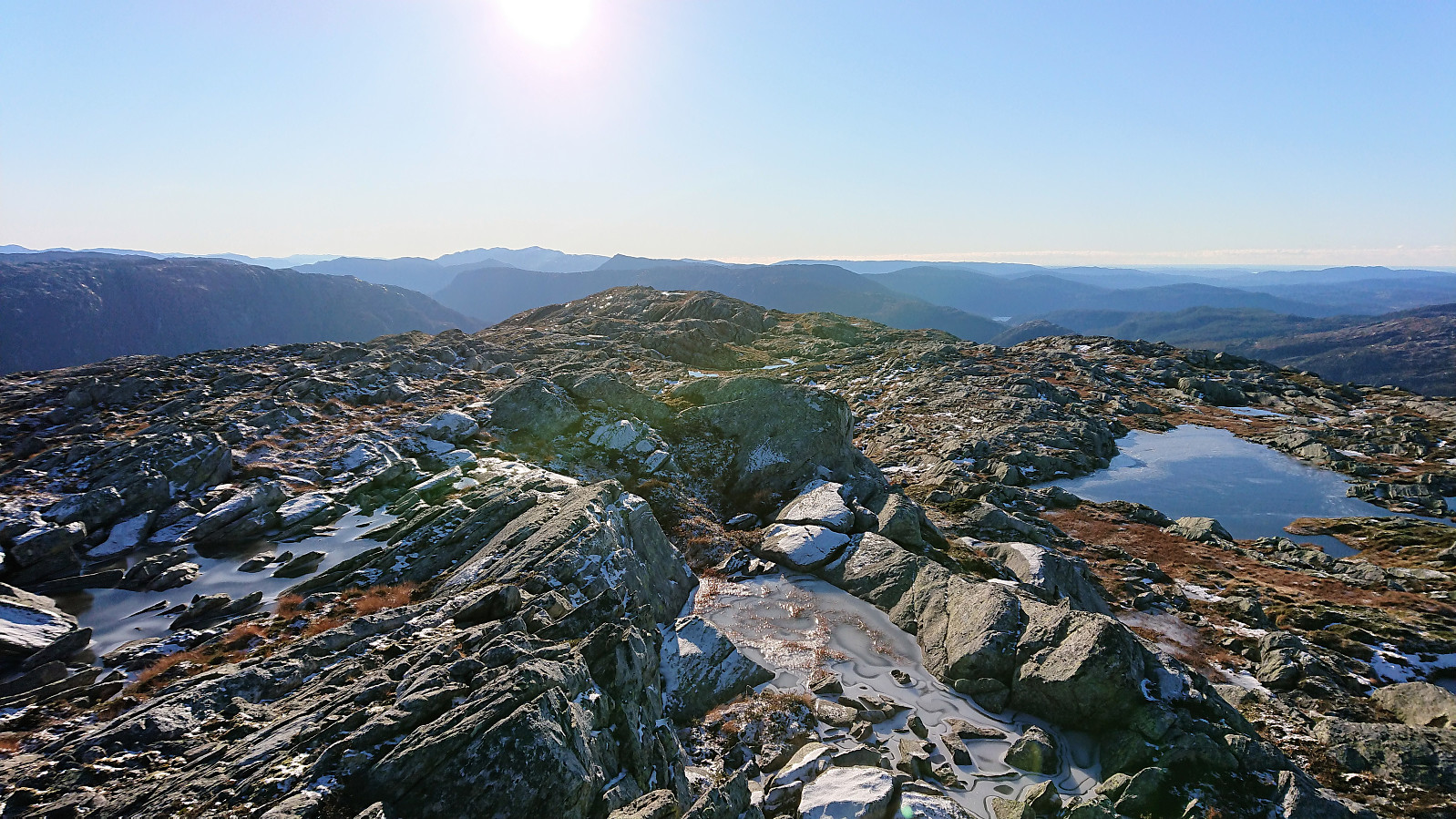
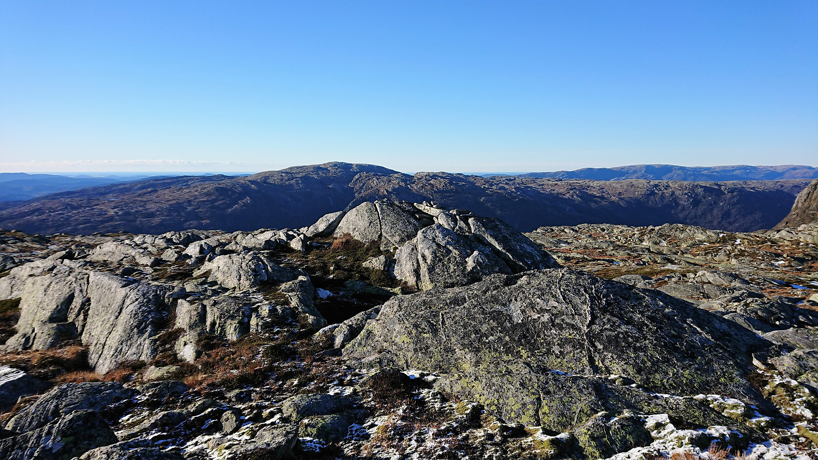
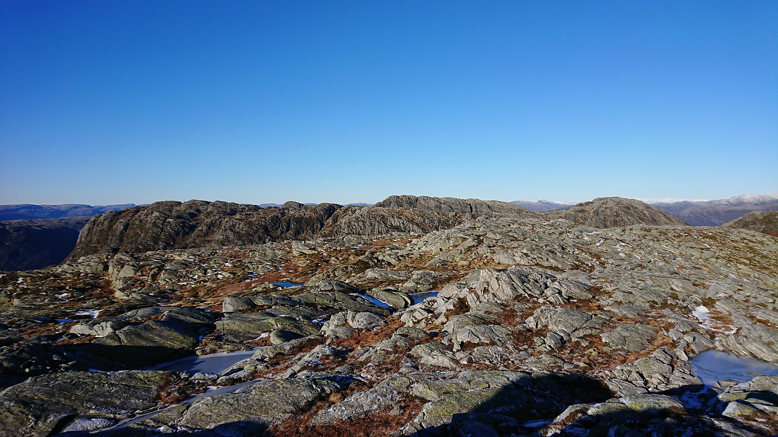
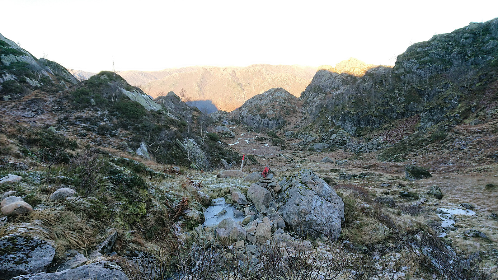
Within not too long we reached the summit of Hestafjellet, which provided nice views, but no visitor register. We did not stay long before continuing north in the direction of Krokavatnet, still not seeing any traces of the trail indicated on the map. It was not really needed though as the terrain was open and easy to traverse. The only challenge being lots of icy areas that had to be handled with care.
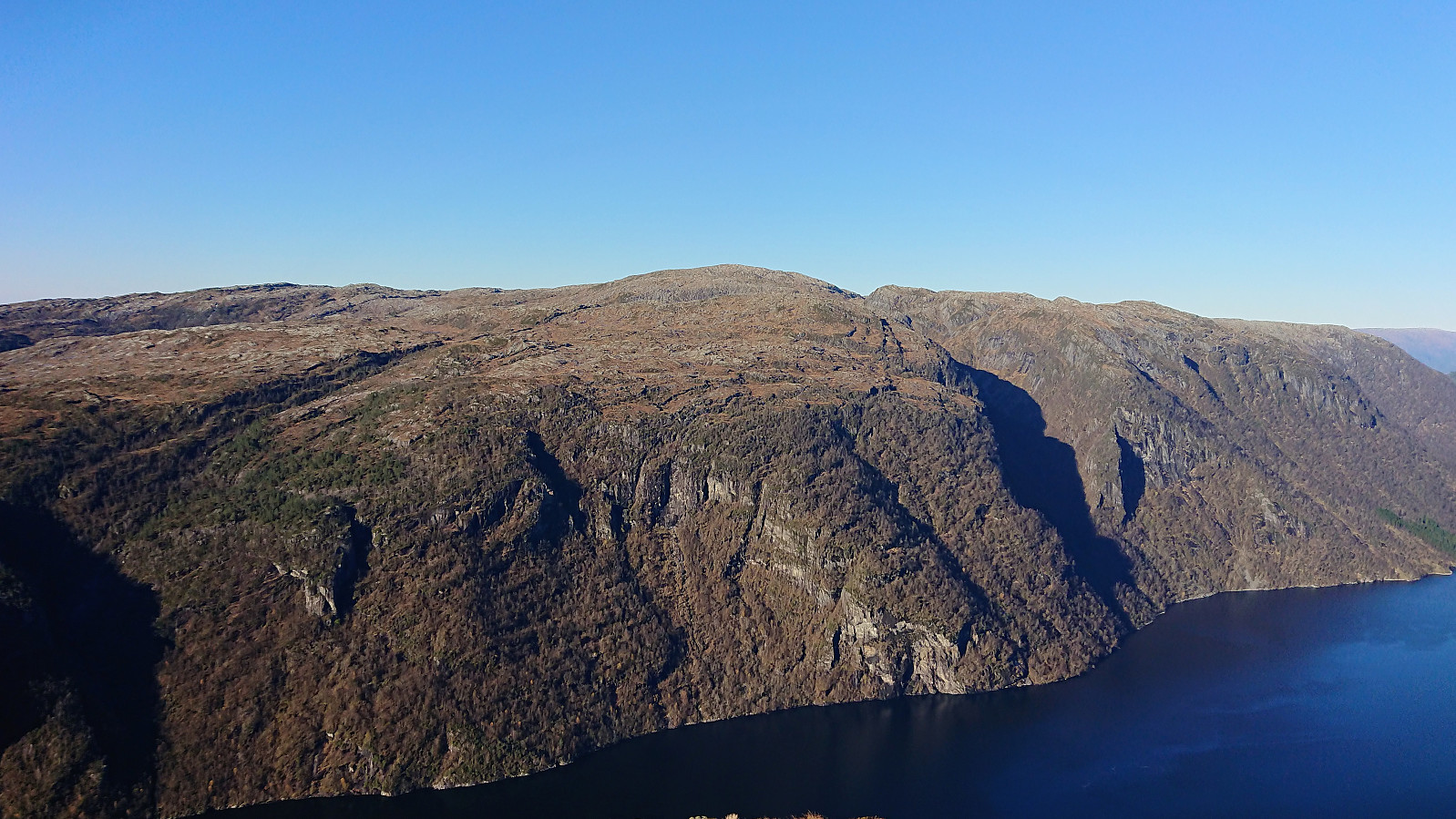
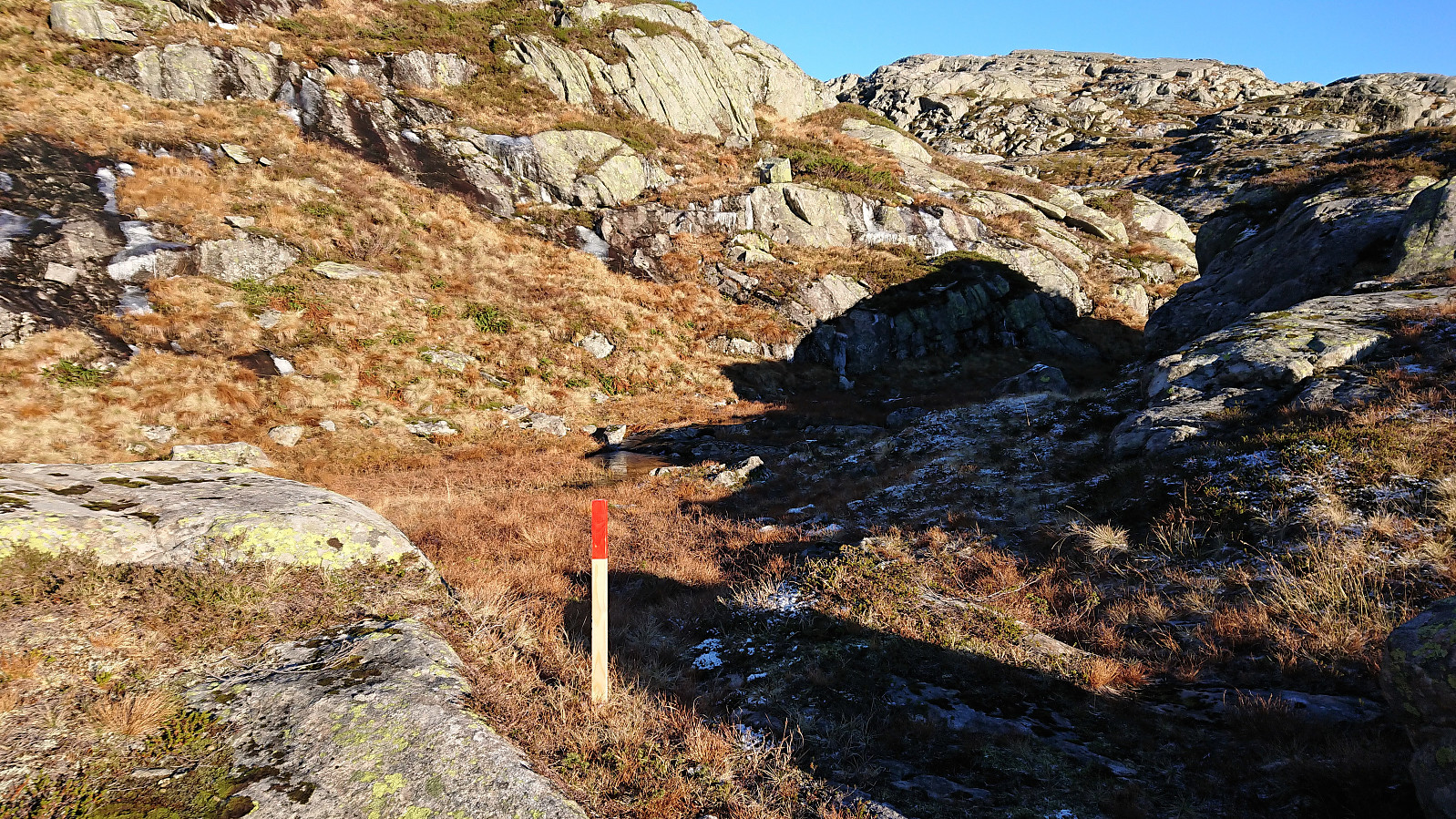
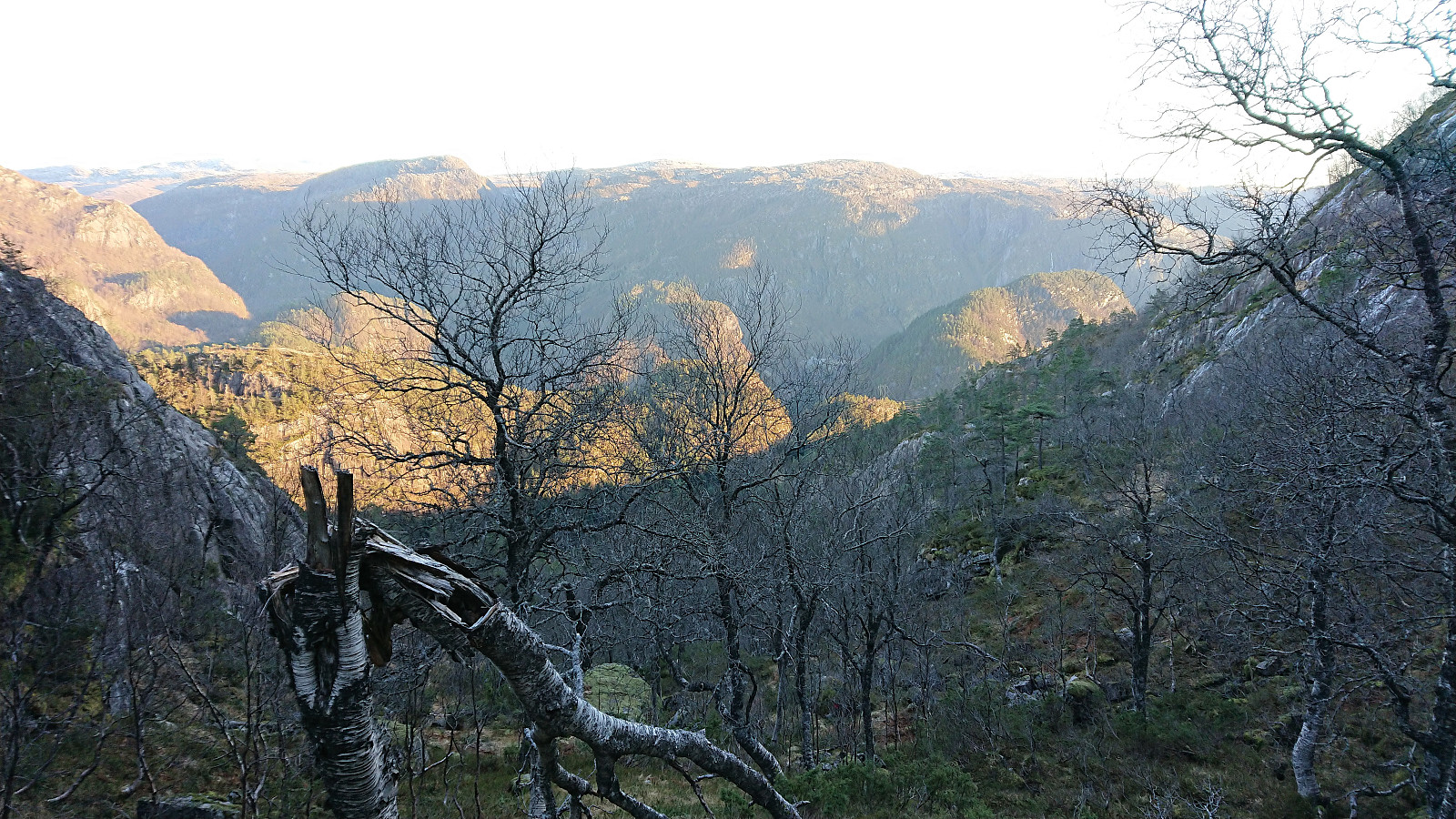
After now haven gotten used to there being no trails, we were therefore surprised when coming across a marked trail just southeast of Krokavatnet. And while the markers did not really follow the trail indicated on the map, the markers did make it much easier to find the way down to Dale. Note that at multiple times we had problems locating the next marker though, and the trail itself was often weak or not visible. So perhaps best to follow this trail in good weather. This was predominantly a challenge before the trail turned southeast towards Dale.
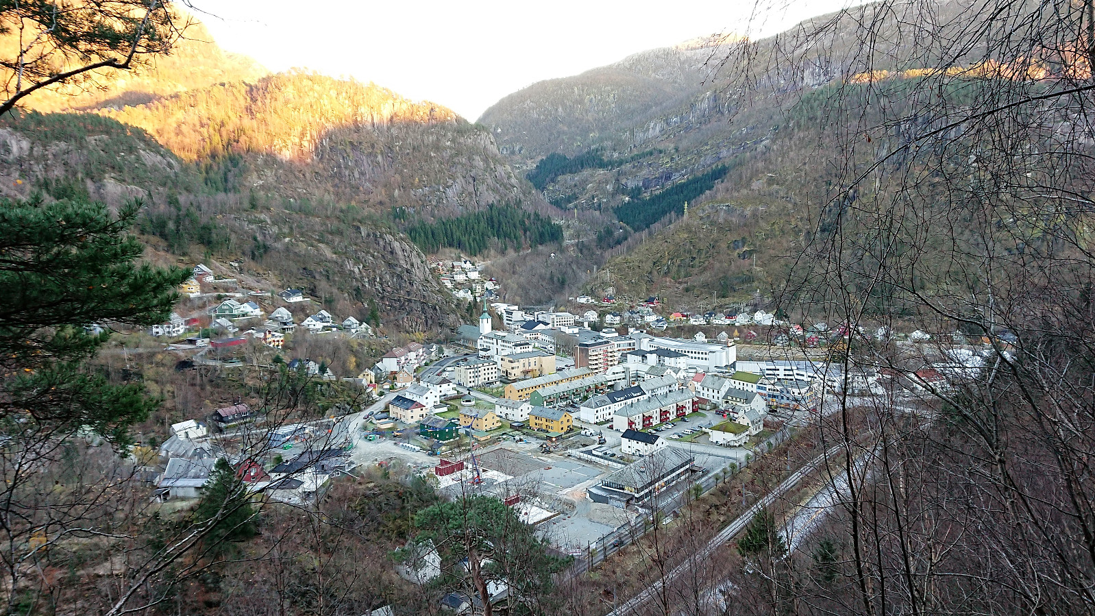
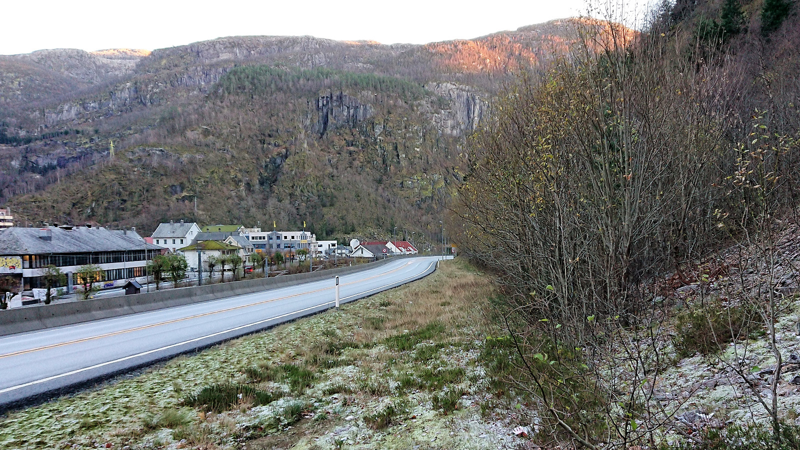
Upon reaching the main road north of Dale, all that remained was a short walk along the main road, before crossing and making our way to the train station. Note: There is no sidewalk nor a zebra crossing before getting to the Dale side of the road, hence it is not recommended to do this part of the hike after dark due to the high-speed traffic.
In summary, a long and varied hike that can be recommended, but the stretch between Kalddalen and Hestafjellet will not be for everybody due to the missing trails. Storafjellet is definitely worth a visit though, and the route via Stutto can be recommended.
| Starttidspunkt | 28.10.2018 09:18 (UTC+01:00) |
| Sluttidspunkt | 28.10.2018 16:42 (UTC+01:00) |
| Totaltid | 7t 24min |
| Bevegelsestid | 6t 45min |
| Pausetid | 0t 38min |
| Snittfart totalt | 2,4km/t |
| Snittfart bevegelsestid | 2,6km/t |
| Distanse | 17,4km |
| Høydemeter | 1392m |

Kommentarer