Lone to Lønborg (20.10.2018)

| punto de partida | Lone (82msnm) |
|---|---|
| Punto final | Lønborg (55msnm) |
| Tipo de excursión | Senderismo de montaña |
| Duración | 5h 33min |
| Distancia | 20.8km |
| Metros verticales | 1,114m |
| GPS |
|
| Ascensos | Byfjellenes høyeste punkt (674msnm) | 20.10.2018 |
|---|---|---|
| Hauggjelsvarden (673msnm) | 20.10.2018 | |
| Rundemanen (568msnm) | 20.10.2018 | |
| Rundemanen Vest (557msnm) | 20.10.2018 | |
| Storhaugen (662msnm) | 20.10.2018 | |
| Vardegga (637msnm) | 20.10.2018 | |
| Ørneberget (238msnm) | 20.10.2018 | |
| Otros PBEs visitados | Alfjellet (630msnm) | 20.10.2018 |
| Ankerhytten (403msnm) | 20.10.2018 | |
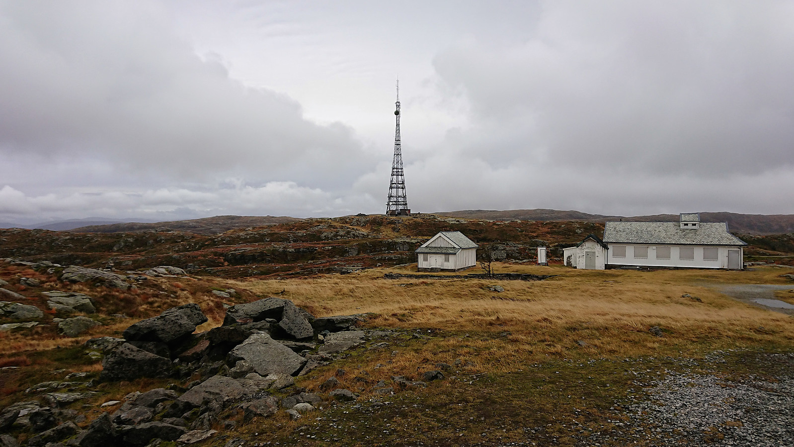
| Bergen Radio Maskinhus (552msnm) | 20.10.2018 | |
| Bergen Radio Stasjonsbygning (553msnm) | 20.10.2018 | |
| Haukelandsvarden (640msnm) | 20.10.2018 | |
| Hus vest for Rundemansmasten (546msnm) | 20.10.2018 | |
| Ishuset ved Langevatnet (127msnm) | 20.10.2018 | |
| Nornenhytten d.e. (tuft) (658msnm) | 20.10.2018 | |
| Nødkjelke, Hyttelien (446msnm) | 20.10.2018 | |
| Regulatoren (ruin) (648msnm) | 20.10.2018 |
Lone to Lønborg
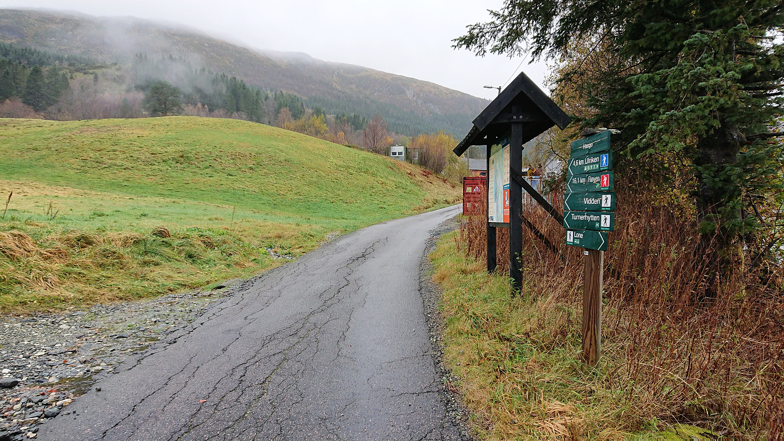
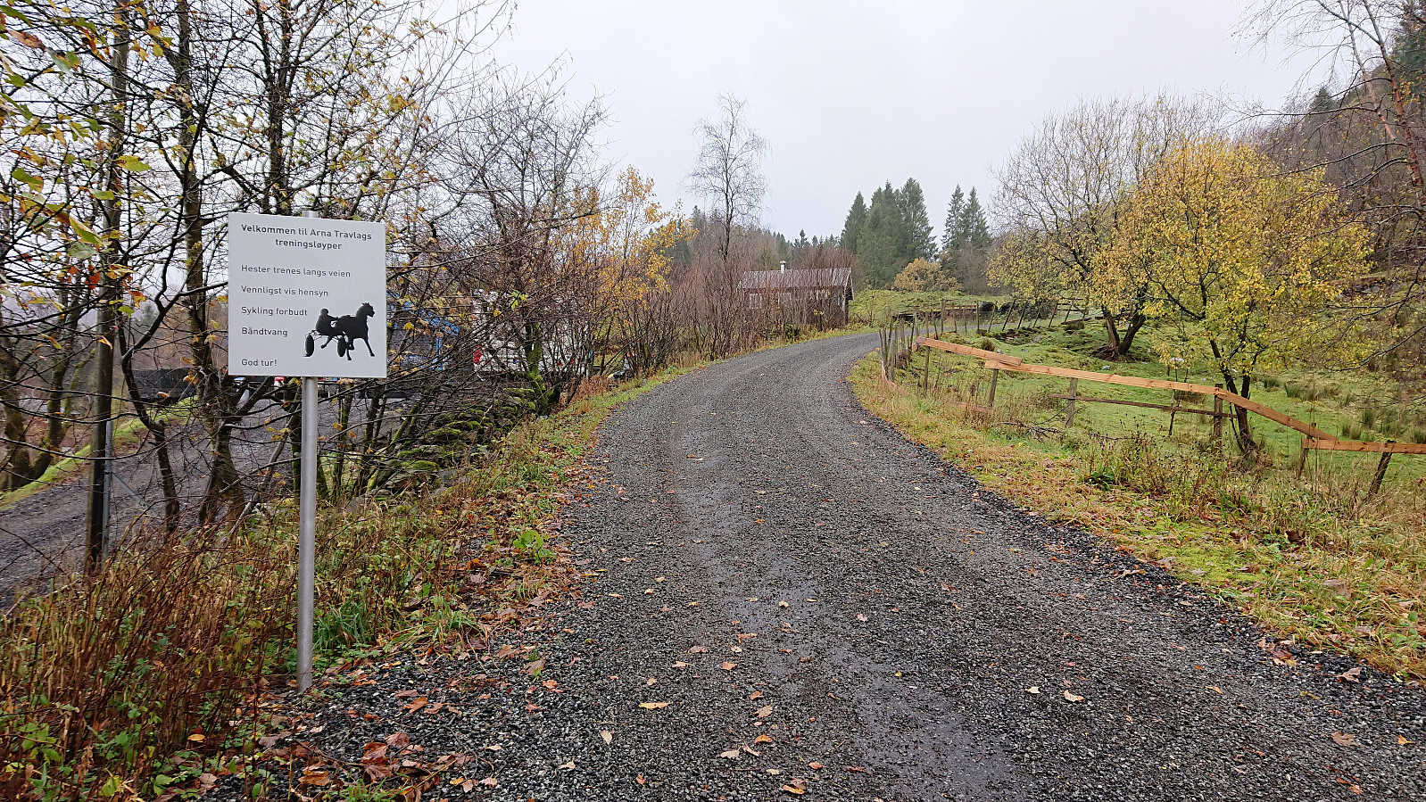
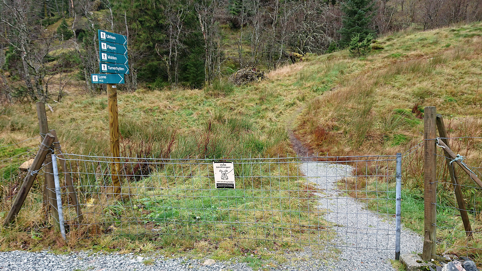
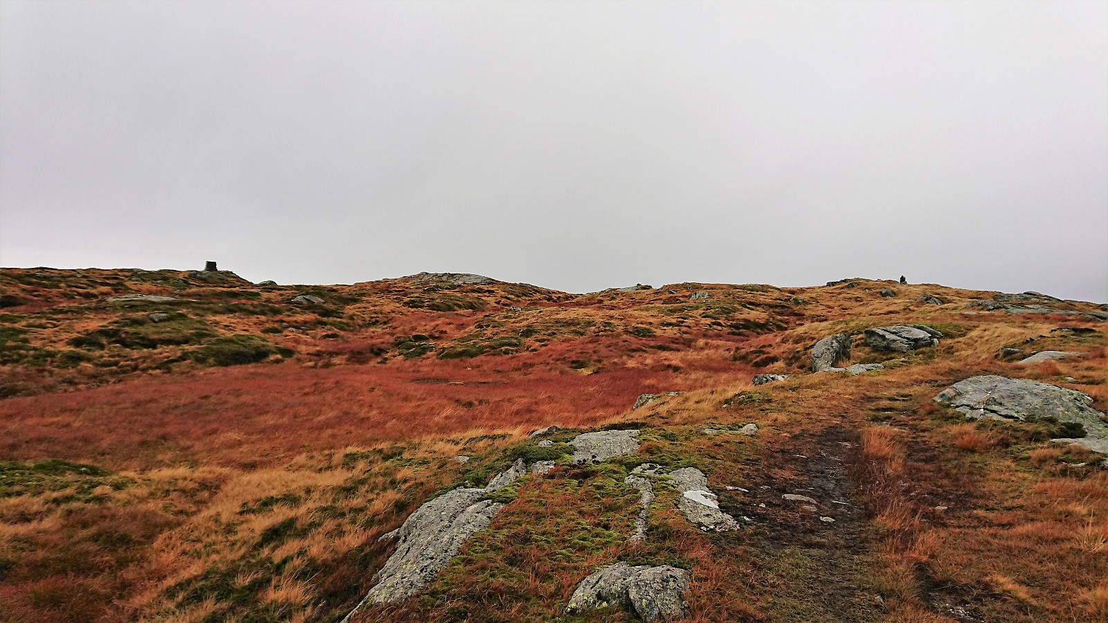
Started by taking the train and bus to Lone and from there walking up to Haugo where I spotted the first signs for Ulriken. Leaving the houses behind I then followed the gravel road south until locating the marked trailhead. The trail was of better quality than expected, with only a couple of wet areas. Shortly after passing by Haukelandsvarden, the trail forked and I chose the option heading to Hauggjelsvarden.
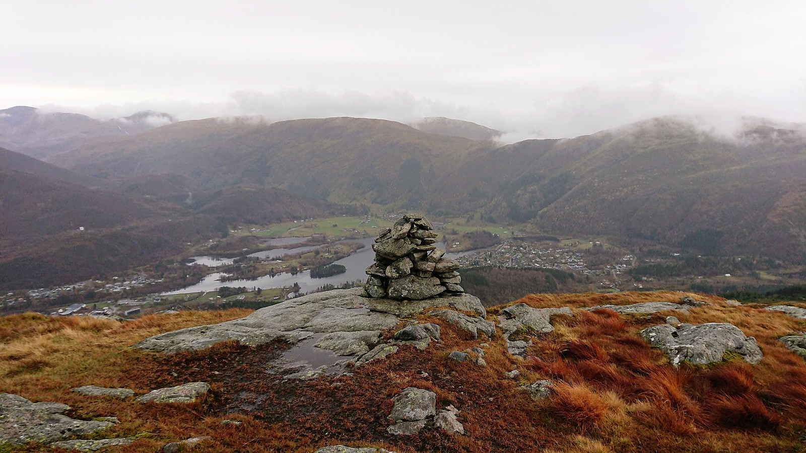
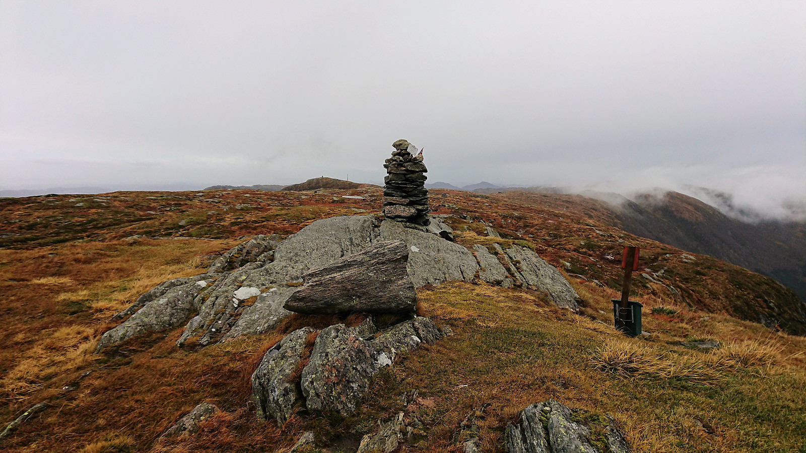
After a quick detour to the highest point at Byfjellene, I returned to Hauggjelsvarden and from there followed the weak trail northwest. This trail disappeared before connecting with the main trail across Vidden, but it is not very difficult to locate the main trail anyway, at least not when the visibility is good.
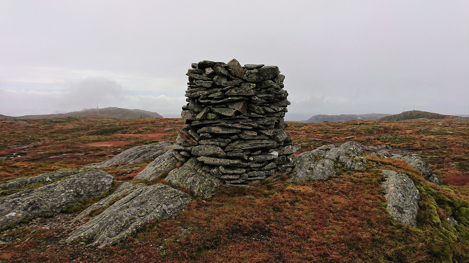
At this point it started raining lightly and the wind also picked up a bit, but luckily the wind was coming from behind until I turned west for Rundemanen. The rain also more or less stopped within not too long, on what was now a pretty standard walk across Vidden.
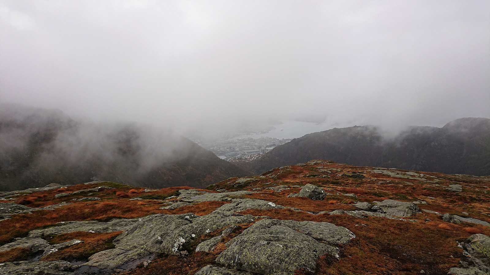
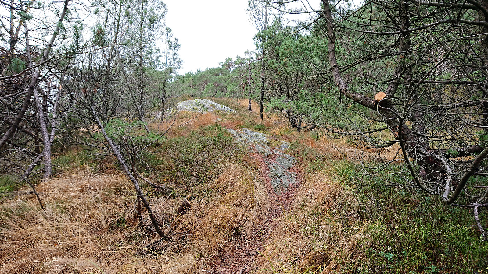
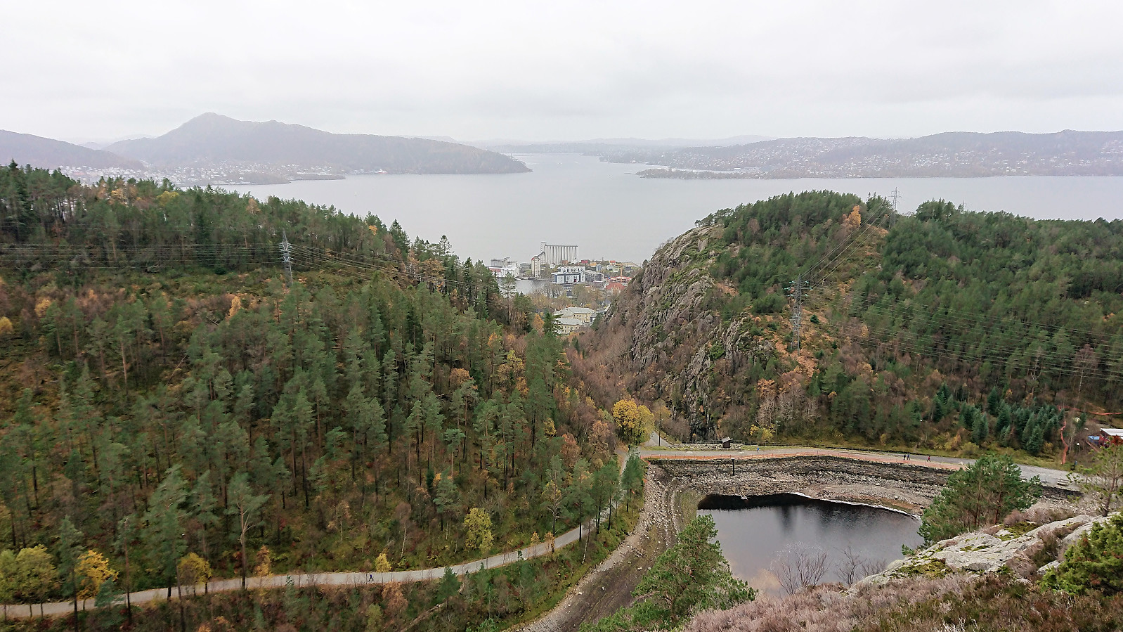
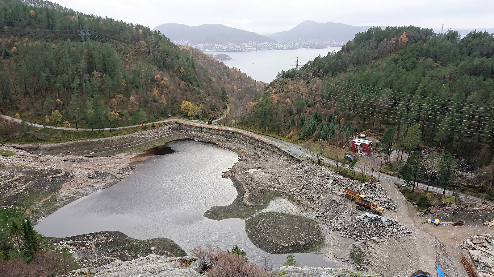
From Rundemanen I followed the trails to Ankerhytten and further down toward Munkebotsvatnet. However, just after crossing the river I continued north along a (for me) new trail instead of taking the usual route down to the southern end of Munkebotsvatnet. This turned out to be a good alternative, with some unusual viewpoints along the way, before finally connecting with the trail coming down from Sandvikshytten. The hike was then concluded by a quick visit to Ørneberget before ending up in Lønborg.
Overall, a nice hike in slightly better weather conditions than expected. The ascent from Lone can clearly be recommended for anyone wanting an alternative start to their hike across Vidden.
| Hora de partida | 20.10.2018 10:32 (UTC+01:00 DST) |
| Hora punto final | 20.10.2018 16:06 (UTC+01:00 DST) |
| Tiempo total | 5h 33min |
| Tiempo en movimiento | 5h 13min |
| Tiempo de descanso | 0h 20min |
| Velocidad promedio en total | 3.7km/h |
| Tiempo en movimiento promedio | 4.0km/h |
| Distancia | 20.8km |
| Metros verticales | 1,113m |

Comentarios