Nunnåsfjellet and Kråkenipa (almost...) (28.09.2018)

| Startsted | Lonevåg (2moh) |
|---|---|
| Sluttsted | Lone bru (16moh) |
| Turtype | Fjelltur |
| Turlengde | 2t 58min |
| Distanse | 10,7km |
| Høydemeter | 477m |
| GPS |
|
| Bestigninger | Nunnåsfjellet (251moh) | 28.09.2018 |
|---|---|---|
| Kråkenipa (291moh) |
28.09.2018 |
|
| Andre besøkte PBE'er | Nunnåsfjellet utsiktspunkt (249moh) | 28.09.2018 |
Nunnåsfjellet and Kråkenipa (almost...)

Nunnåsfjellet
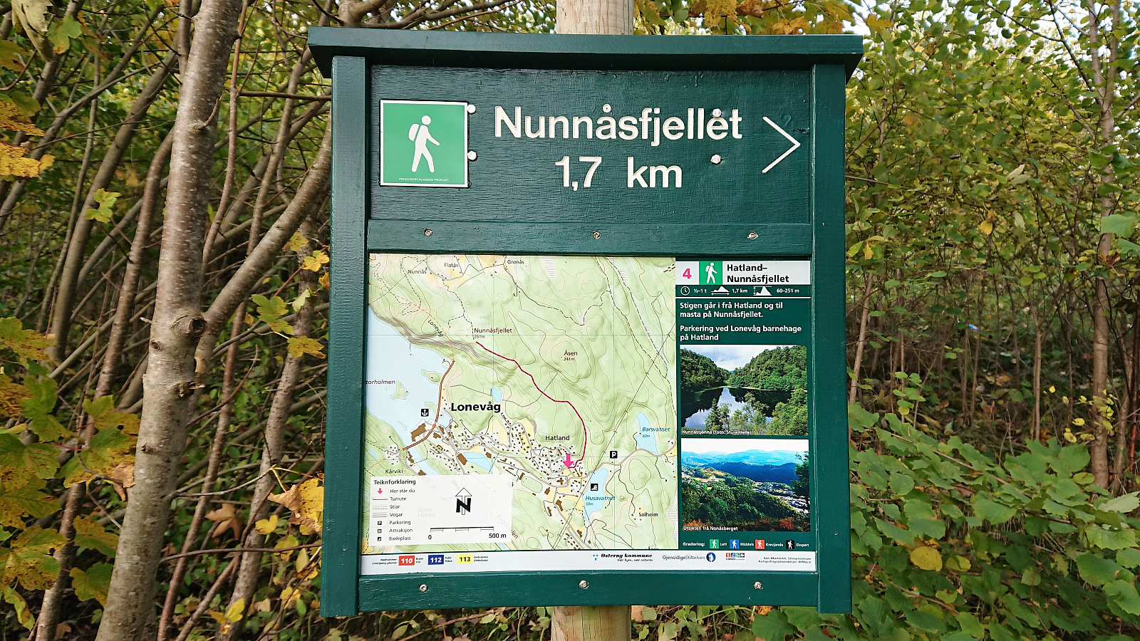
Weather forecast said rain for the whole weekend, except Friday afternoon. Hence I left work earlier than usual and headed for Lonevåg by bus. From Lonevåg I followed the road east until easily locating the marked trailhead for Nunnåsfjellet at Hatland.
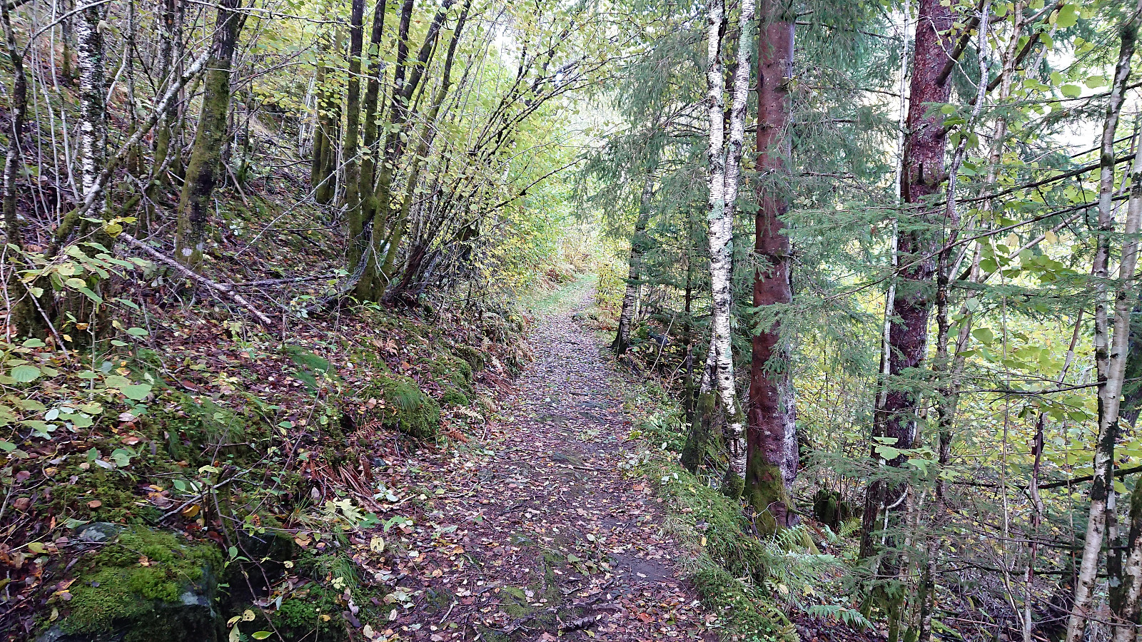
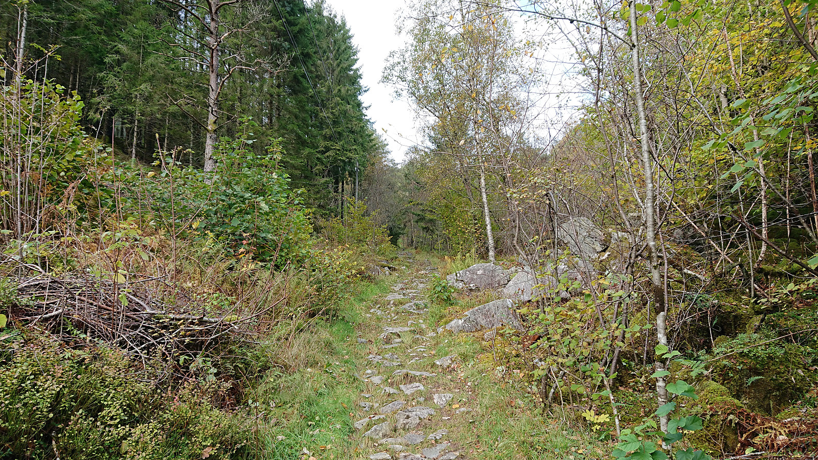
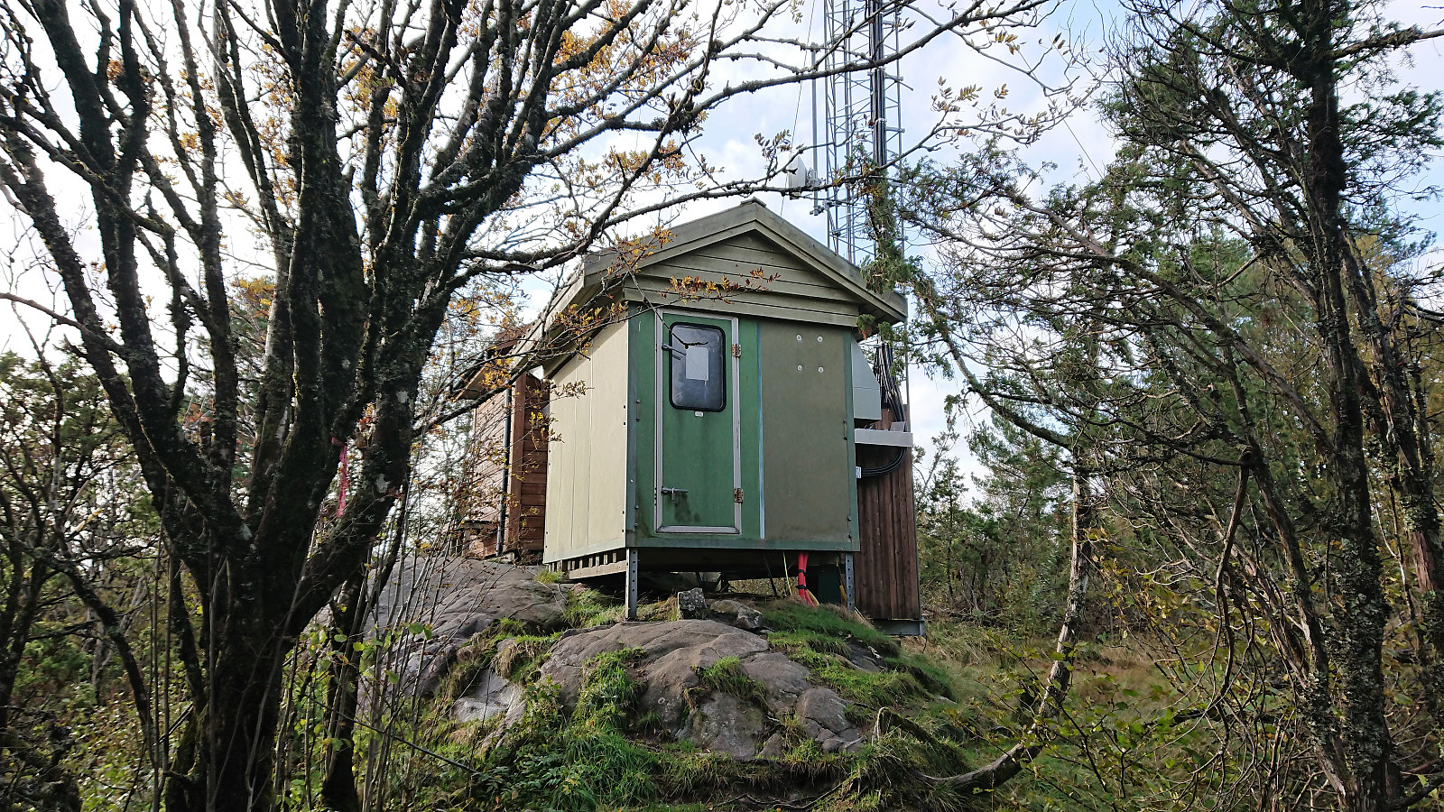
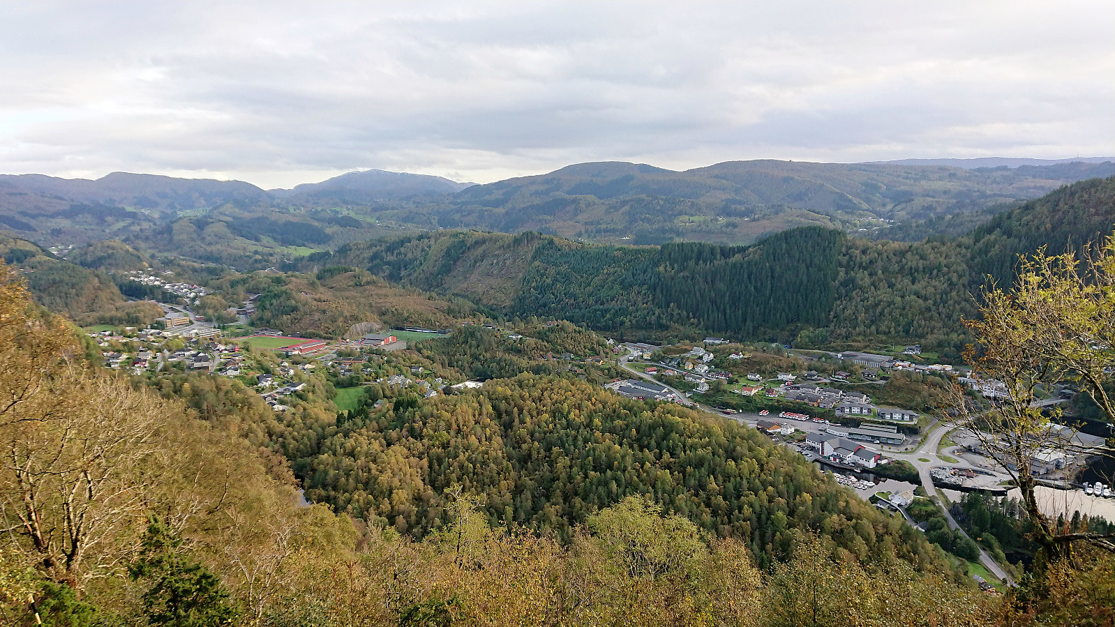
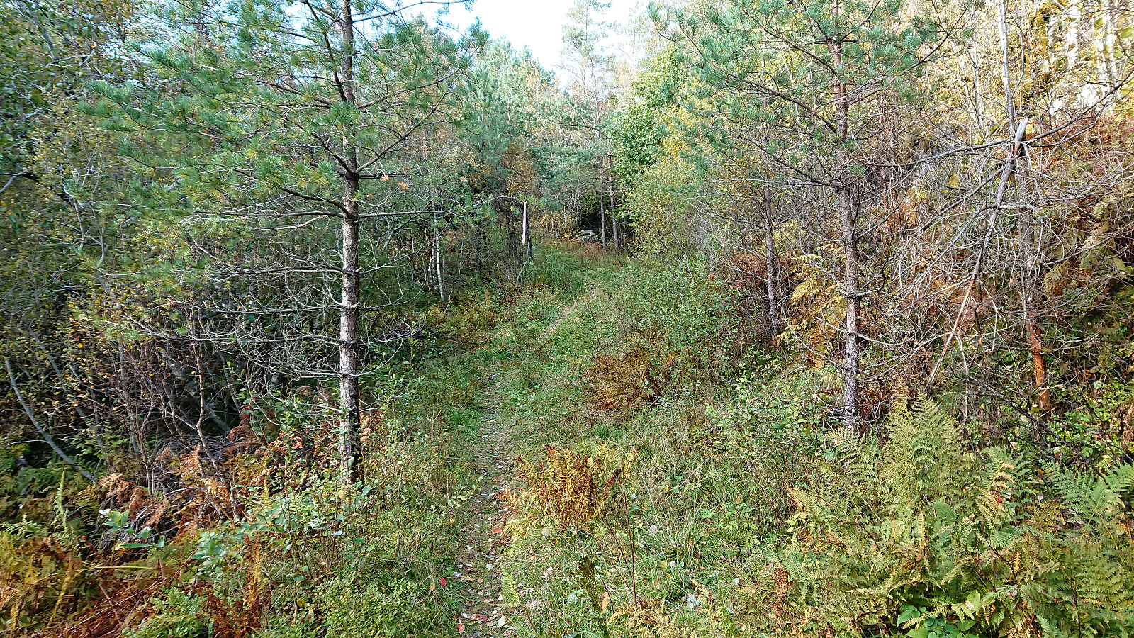
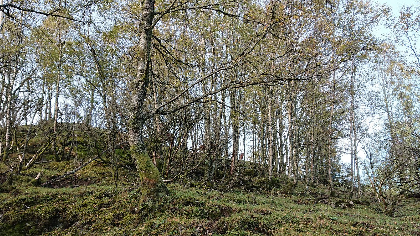
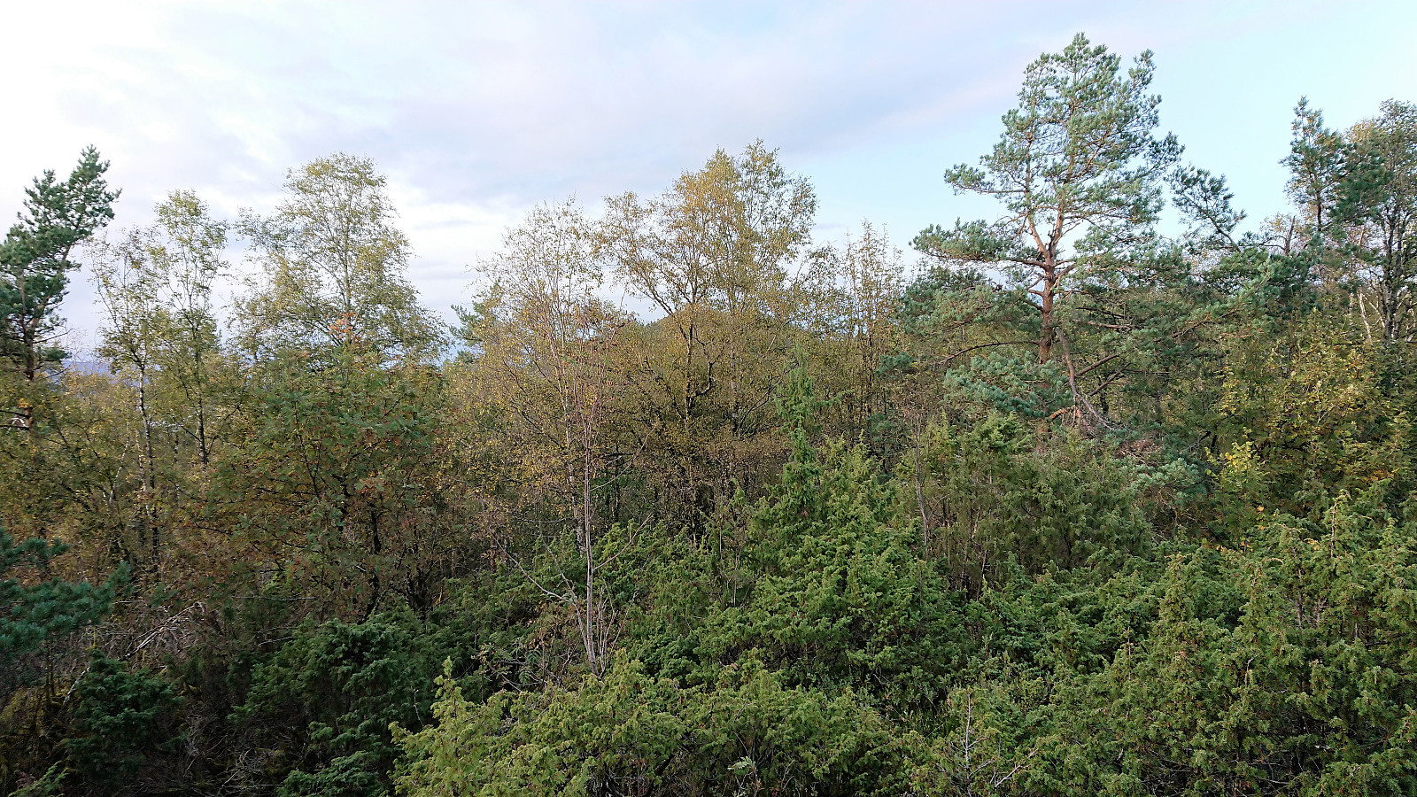
The trail was easy to follow, although rather wet until it started climbing. Each fork was also clearly marked, and I was already considering alternative routes for my decent. I arrived at the antenna at Nunnåsfjellet without any problems, and was rewarded by excellent views toward Lonevåg and beyond.
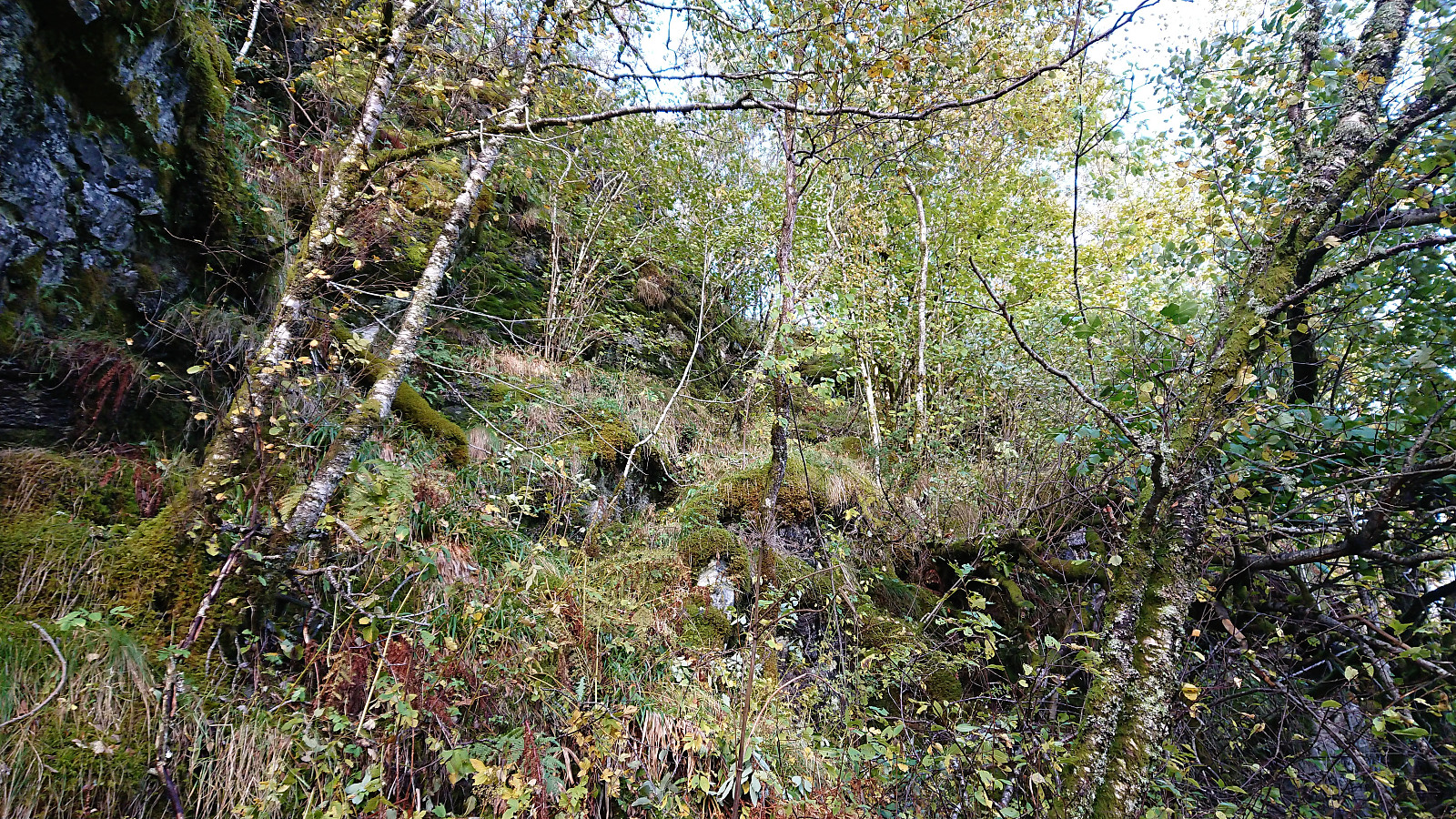
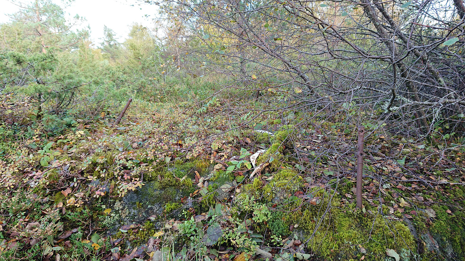
Next, I made two attempts at fighting my way through the dense vegetation to the trig marker at Nunnåsfjellet. Before losing my motivation and instead continuing in the direction of the main goal of the day: Kråkenipa.
Kråkenipa
The first part was easy along a wet but easy-to-follow trail to Nunnås. But as I reached the road the challenge began, as there were no obvious routes to the summit. The ascent seemed quite steep from both the west and the east. And to add to the challenge, the peak was surrounded by houses/farms on at least three sides. This greatly reduced my options, and I decided to try ascending from the west, hoping this would get me to the plateau, from where it should be easy to reach the summit.
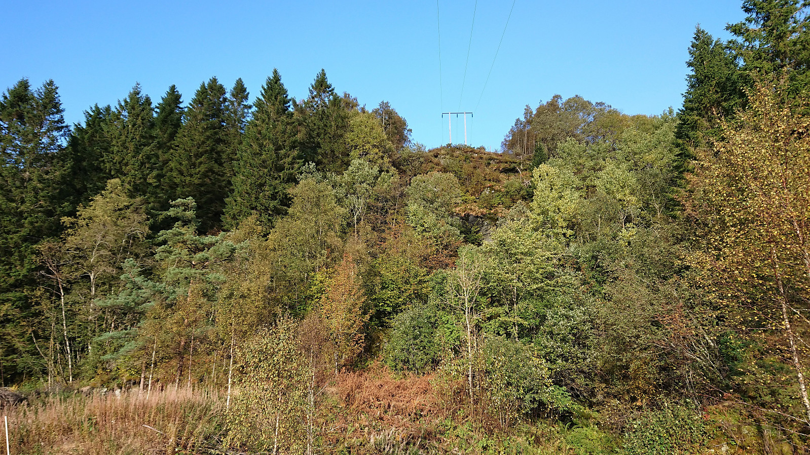
With the plan in place I started up the surprisingly steep ascent, requiring its fair share of light climbing. But as I reached the edge of the plateau I was abruptly stopped by a relatively new fence with at least four large horses looking suspiciously at me from the other side. I was now less than 100 meters from the summit and could just about see my goal…
But after some deliberating, I concluded that this was as close as I was going to get. I did not want to take any chances just for those final meters. I'm still putting Kråkenipa in "been there, done that" category, but expect that I will probably have to come back at a later point, hopefully with the horses gone, to properly complete the ascent. (Which I did. See: Kråkenipa from Lonevåg.)
After climbing back down to the road, I retraced my steps to Nunnåsfjellet. And with the less than perfect ascent of Kråkenipa, I managed to muster the required motivation to have one final go at reaching the trig marker at Nunnåsfjellet, this time finding a new route that was actually fairly straightforward. The trig marker provided close to no views though, so clearly most hikers will be happy with just the view from in front of the antenna.
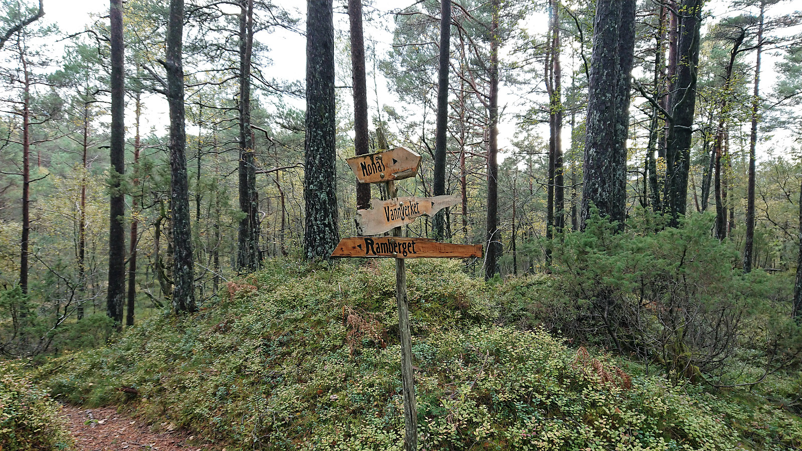
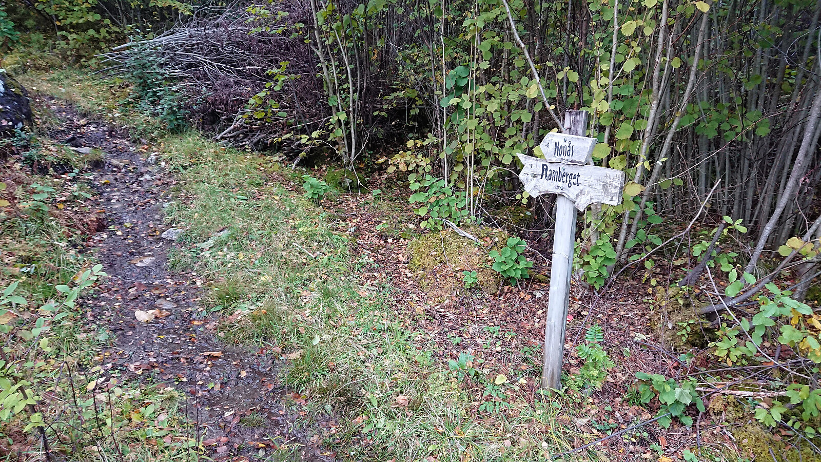
The only thing now remaining was to return to Lonevåg, which I did via a different marked route down to Rambergsstølen. Upon reaching Lonevåg, I still had more than half an hour to spare, and therefore ended up walking along the road all the way to Lone bru, before getting on the bus back to Bergen.
Conclusion
In summary, the visit to Kråkenipa presented more challenges than expected, and will probably have to be revisited in the future. On the other hand, a visit to the viewpoint at Nunnåsfjellet can be recommended if in the area and only having time for a short hike.
| Starttidspunkt | 28.09.2018 16:09 (UTC+01:00 ST) |
| Sluttidspunkt | 28.09.2018 19:07 (UTC+01:00 ST) |
| Totaltid | 2t 58min |
| Bevegelsestid | 2t 55min |
| Pausetid | 0t 3min |
| Snittfart totalt | 3,6km/t |
| Snittfart bevegelsestid | 3,7km/t |
| Distanse | 10,7km |
| Høydemeter | 477m |

Kommentarer