Bjørgafjell from Bjørgekrysset (15.09.2018)

| Startpunkt | Bjørgekrysset Rv393 (17m) |
|---|---|
| Endpunkt | Bjørgekrysset Rv393 (17m) |
| Tourcharakter | Bergtour |
| Tourlänge | 2h 14min |
| Entfernung | 12,0km |
| Höhenmeter | 429m |
| GPS |
|
| Besteigungen | Bjørgafjell (354m) | 15.09.2018 |
|---|
Bjørgafjell from Bjørgekrysset Rv393

Bjørgafjell
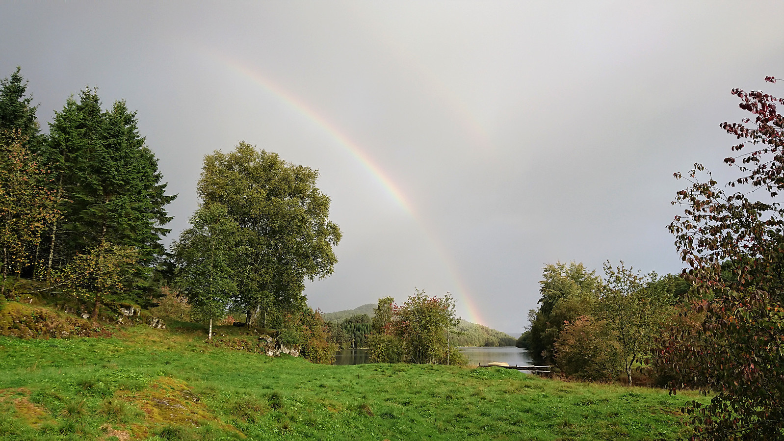
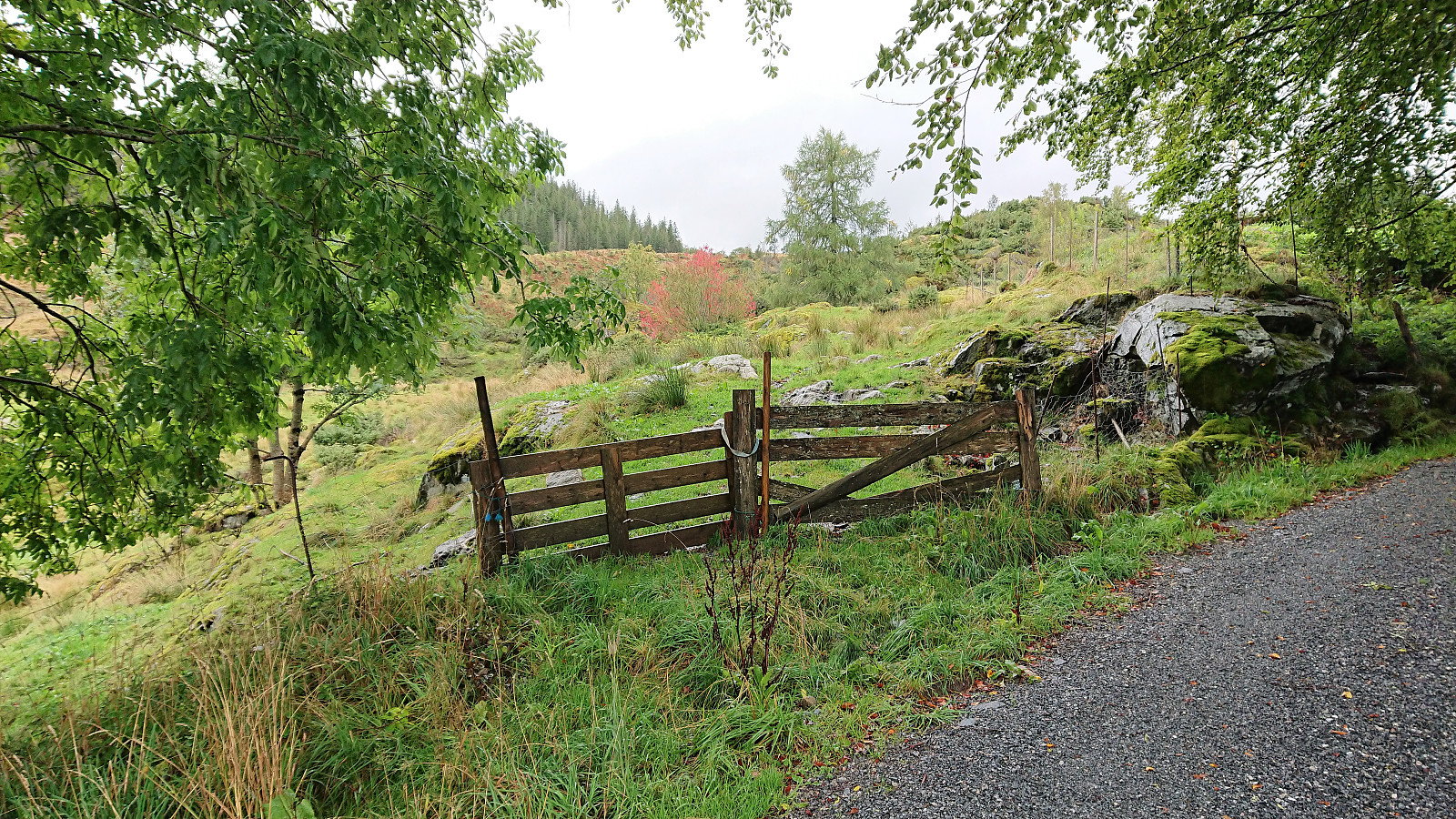
Started by taking the early morning bus towards Ostereidet and getting off at the bus stop called Bjørgekrysset. From there I walked north along the road toward Vassel and Æse, before following the gravel road up to Bjørgo. I started out in nice weather, but shortly before leaving the paved road it began raining heavily and did not stop until I was almost at the gate indicating the unmarked trailhead for Bjørgafjell.
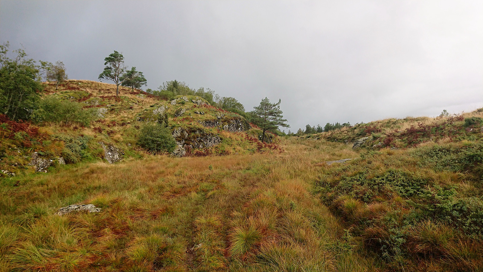
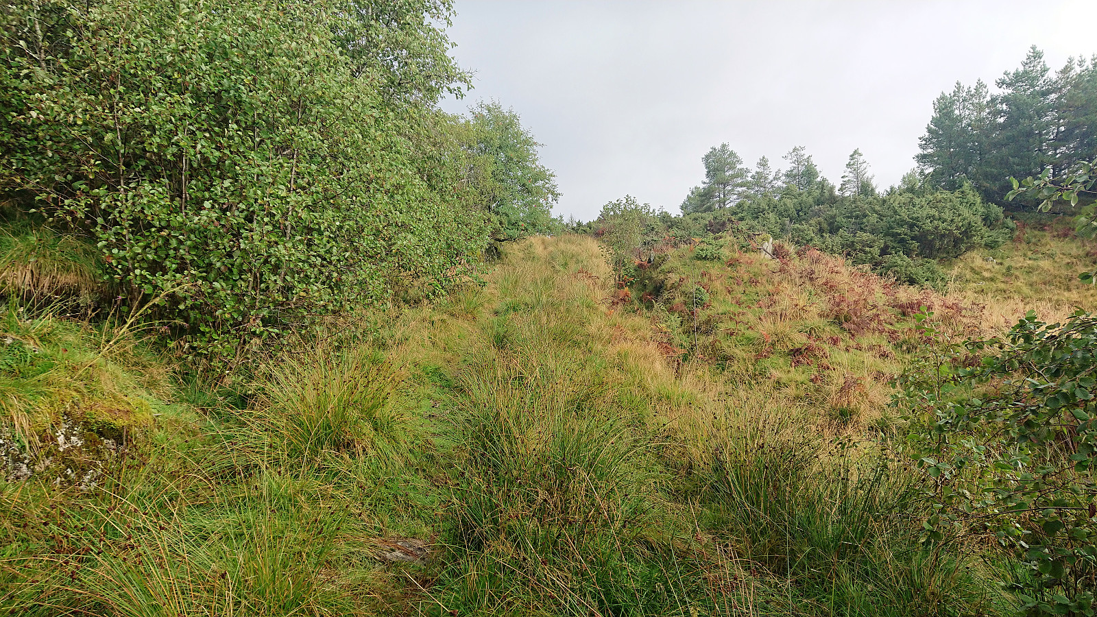
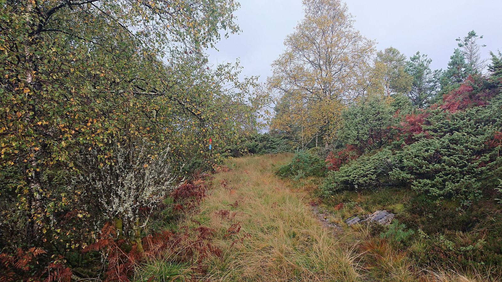
From there on a rather wet tractor road could be followed almost all the way to the summit, changing into a trail toward the end. Shortly before reaching the summit, I came across the first red and blue trail marker. This marked trail continued north/northwest across the summit, but I did not have the time to investigate this option further.
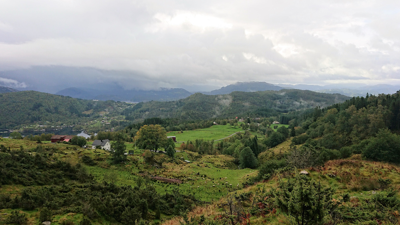
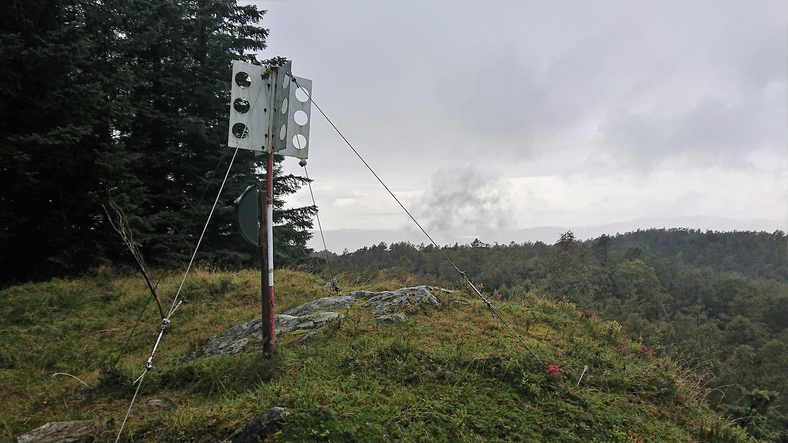
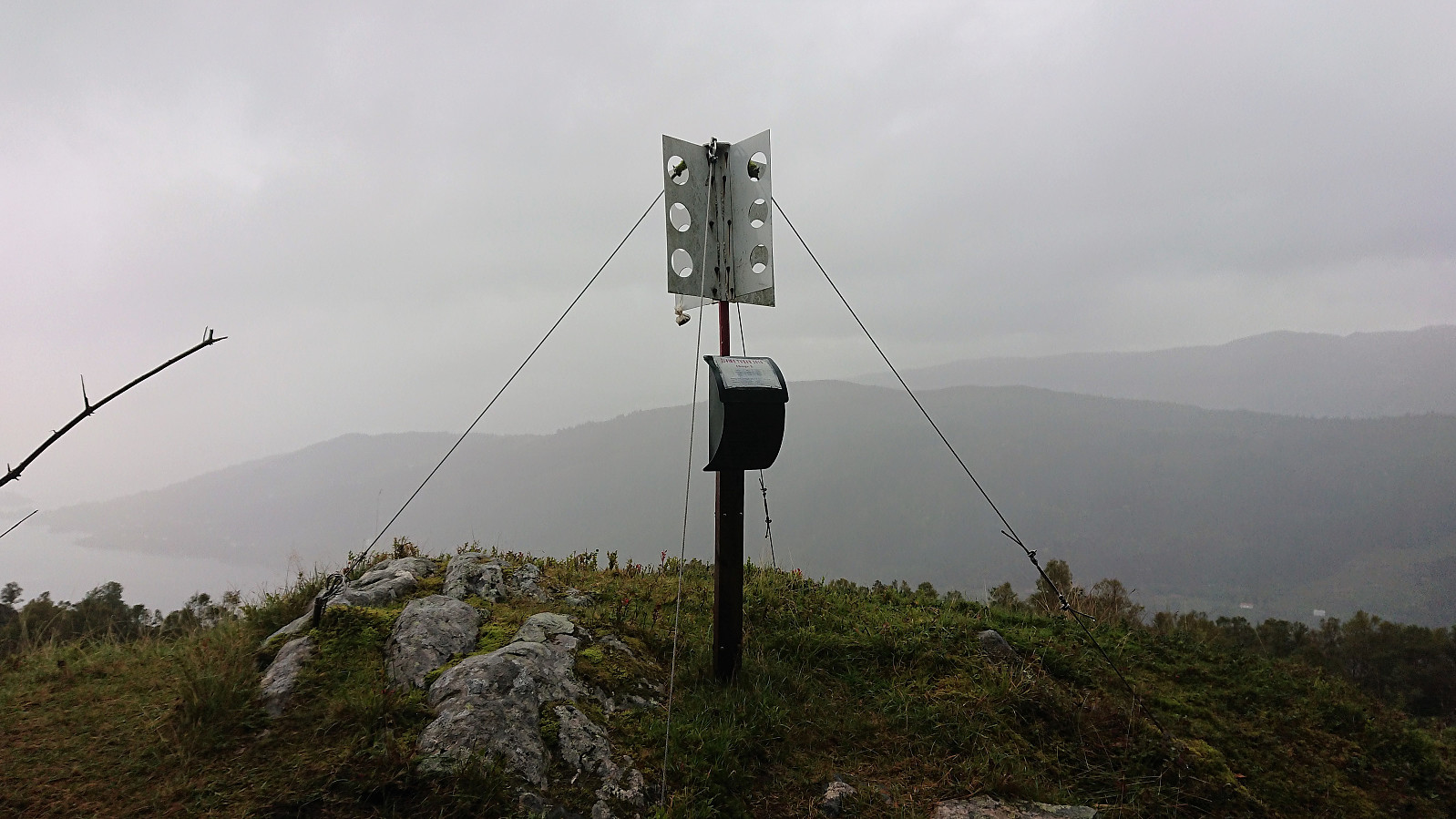
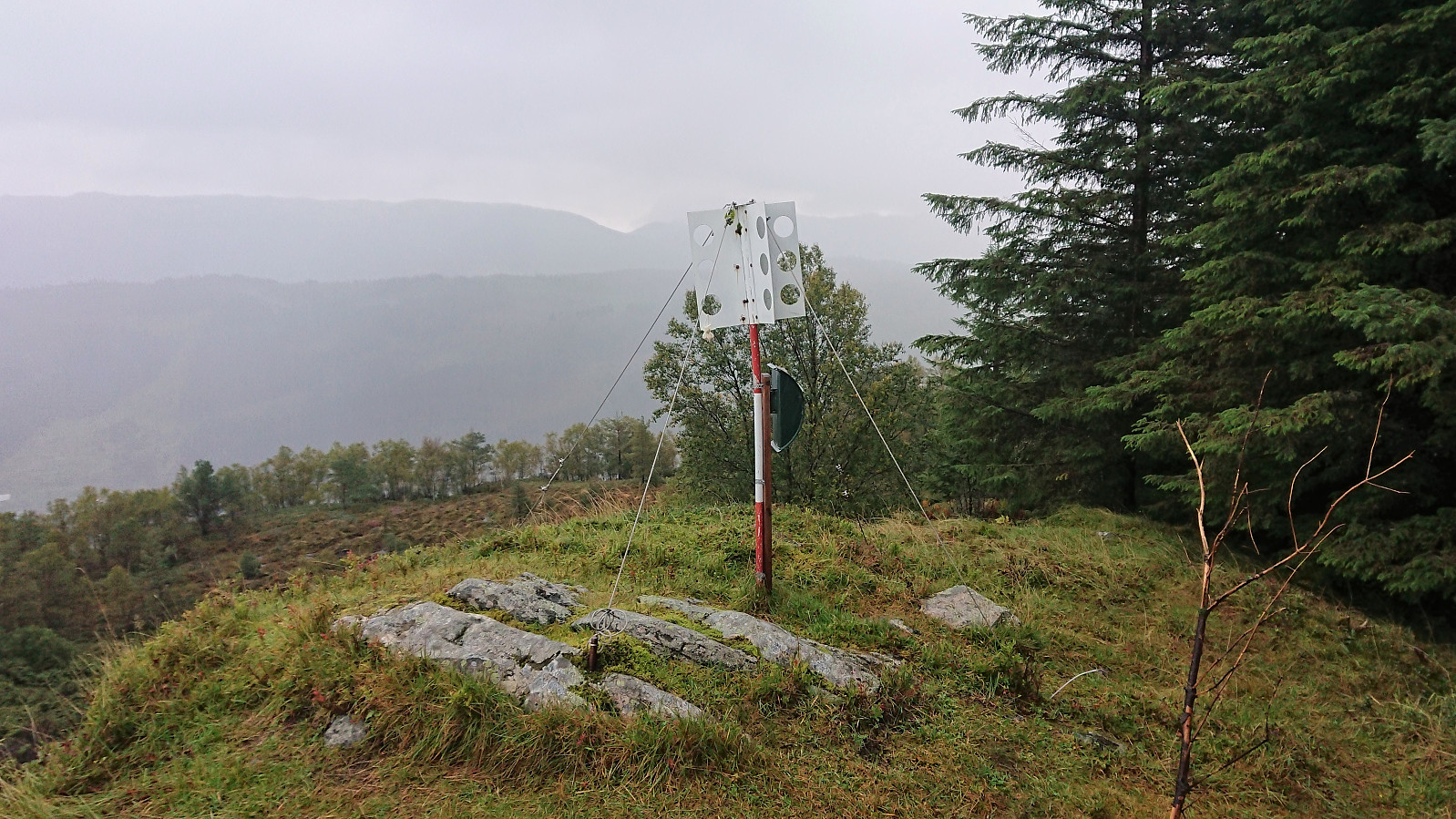
Just before arriving at the summit, it had sadly started raining heavily again, which, combined with the low-hanging clouds, made for rather limited views from the summit this morning. I therefore did not stay long before turning back and retracing my steps all the way to the bus top at Bjørgekrysset and the bus back to Bergen.
Conclusion
Overall a much wetter hike than I had hoped for. The views from the summit were also not what I had expected due to the low-hanging clouds. However, the hike itself was nice enough, and probably one that ought to be repeated in better weather.
| Startzeitpunkt | 15.09.2018 08:29 (UTC+01:00 SZ) |
| Endzeitpunkt | 15.09.2018 10:43 (UTC+01:00 SZ) |
| Gesamtzeit | 2h 14min |
| Zeit in Bewegung | 2h 11min |
| Pausenzeit | 0h 3min |
| Gesamtschnitt | 5,4km/h |
| Bewegungsschnitt | 5,5km/h |
| Entfernung | 12,0km |
| Höhenmeter | 428m |

Benutzerkommentare