Algrøyna: Idlefjell and Sandeie (29.06.2018)

| Start point | Storevegen (4m) |
|---|---|
| Endpoint | Algrøyna kryss (42m) |
| Characteristic | Hillwalk |
| Duration | 6h 17min |
| Distance | 13.4km |
| Vertical meters | 577m |
| GPS |
|
| Ascents | Hillefjellet (78m) | 29.06.2018 |
|---|---|---|
| Visits of other PBEs | Sandeie (7m) | 29.06.2018 |
| Trollskogen (15m) | 29.06.2018 |
Algrøyna: Idlefjell and Sandeie
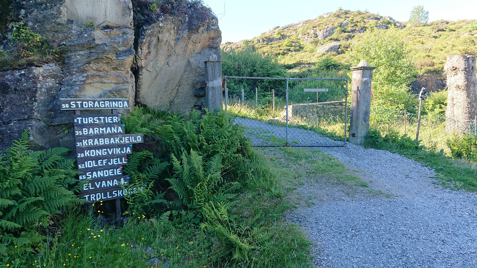
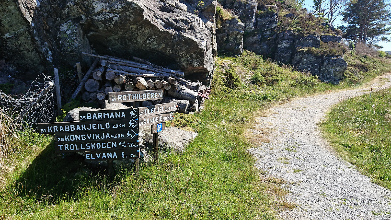

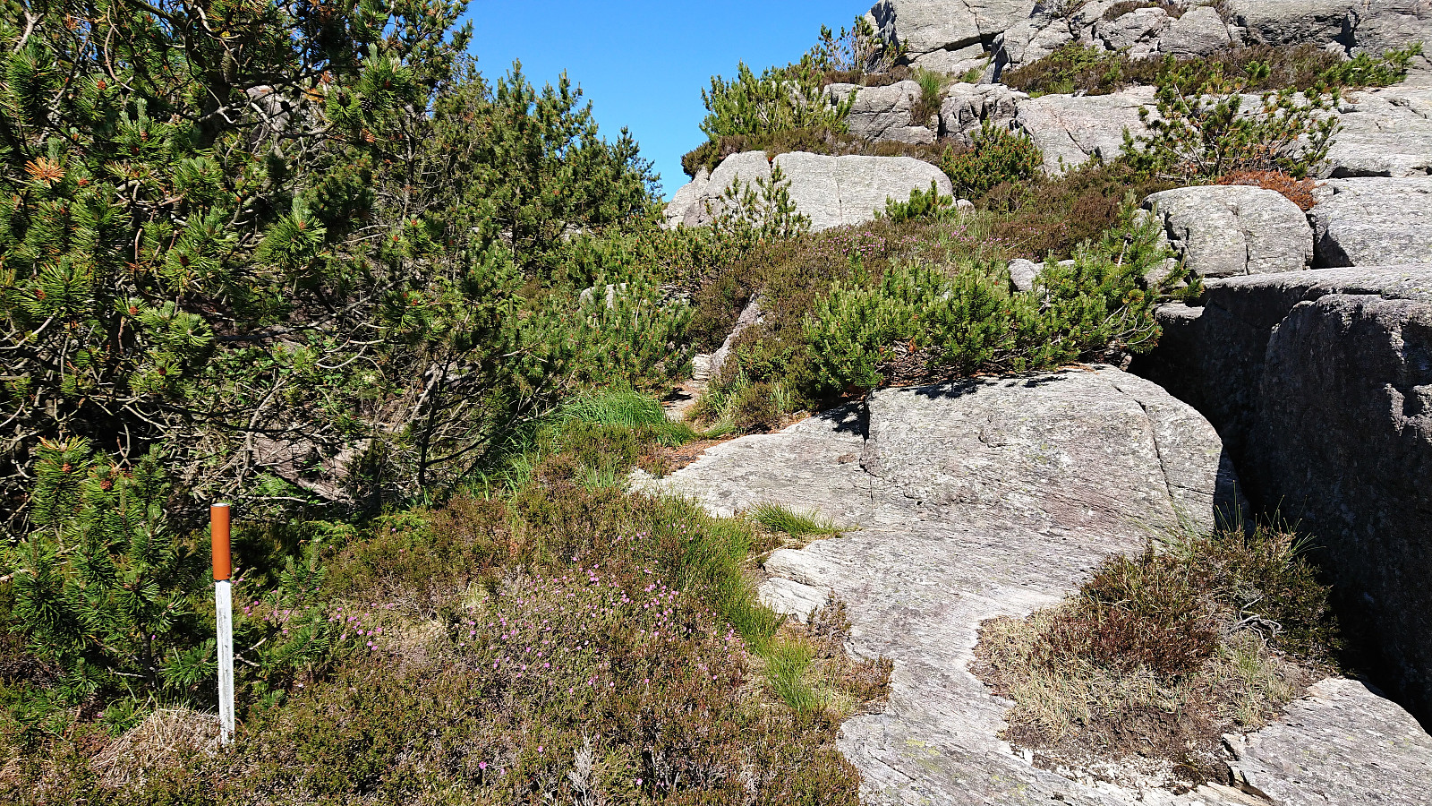
We started by taking the bus to Algrøyna and Storevegen (also the name of the bus stop). By following Storevegen we quickly arrived at the trailhead and the start of the marked trails. We decided on the blue trail, starting out as a narrow gravel road, before changing into a trail upon reaching Vågsvatnet.
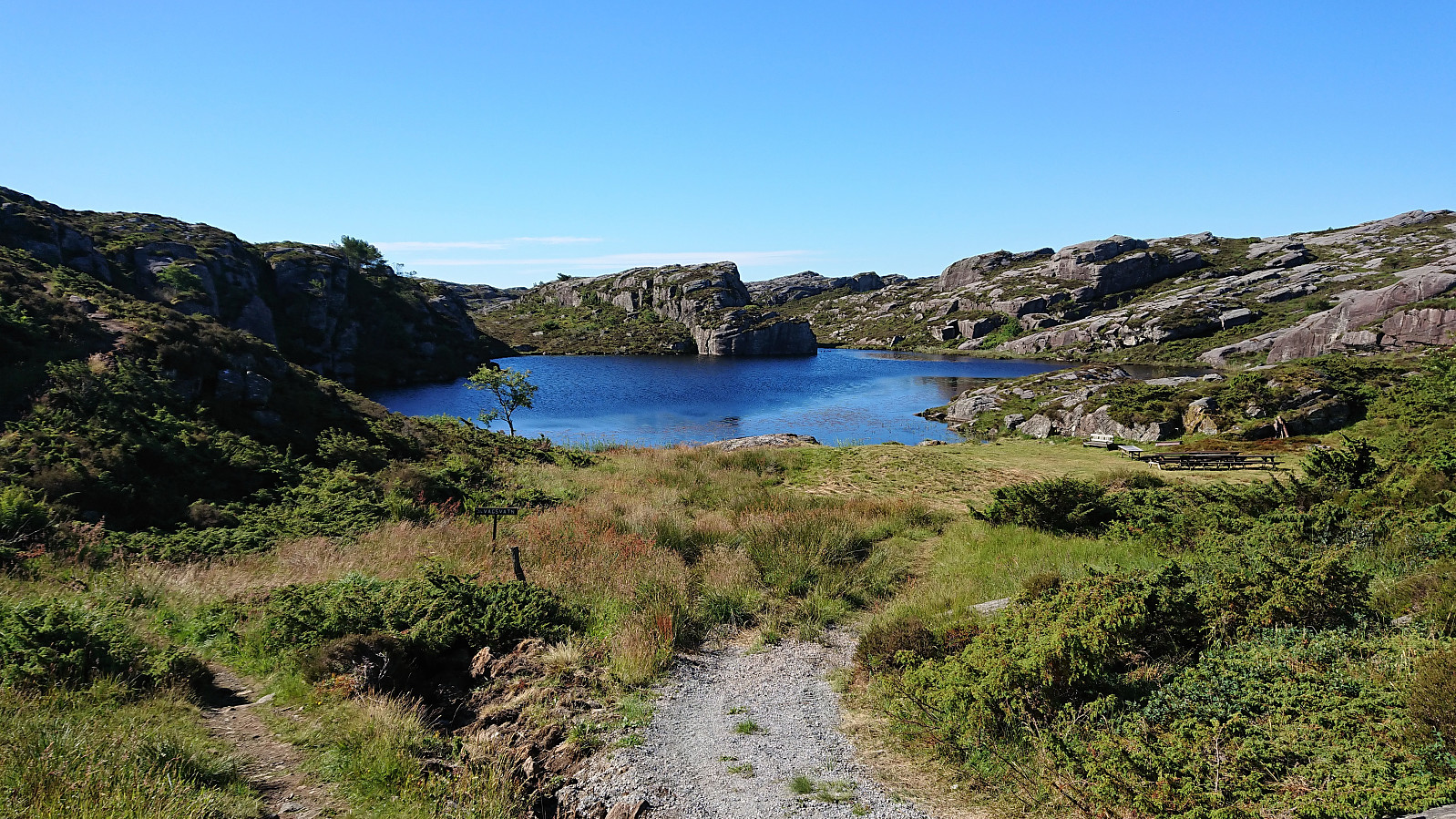
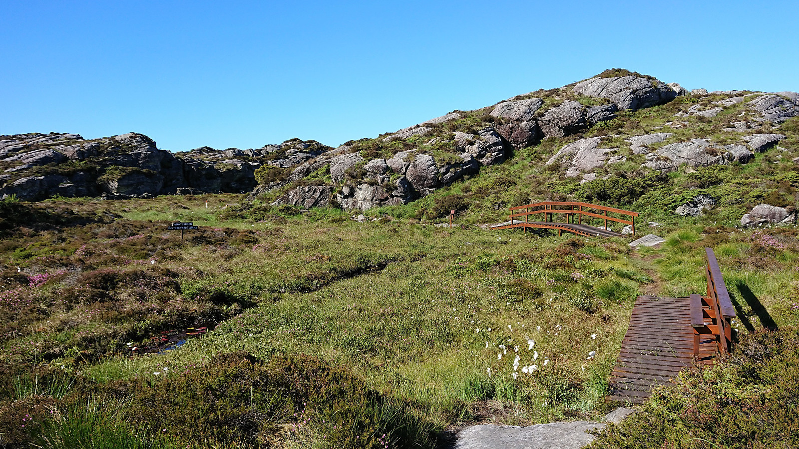
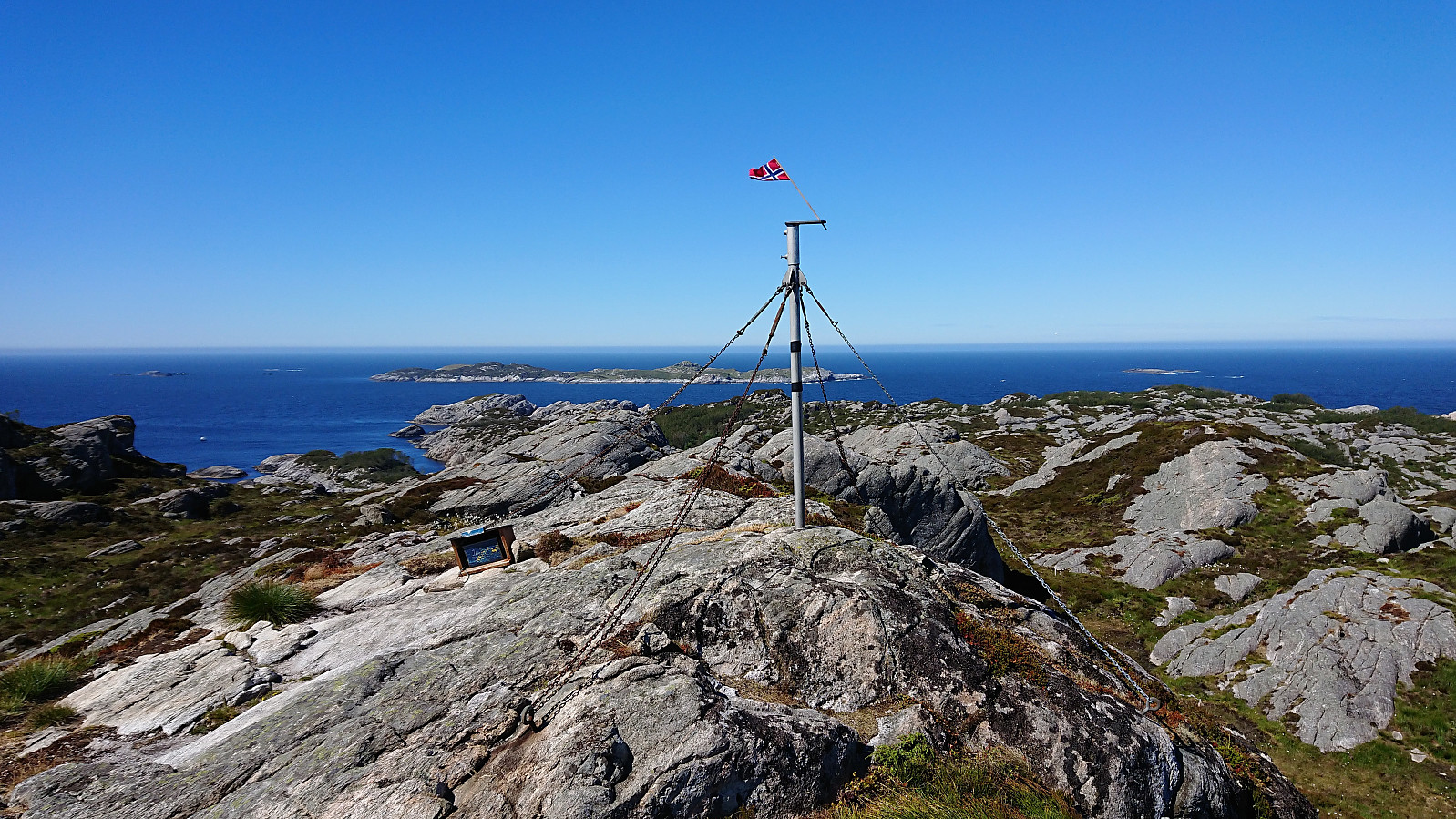
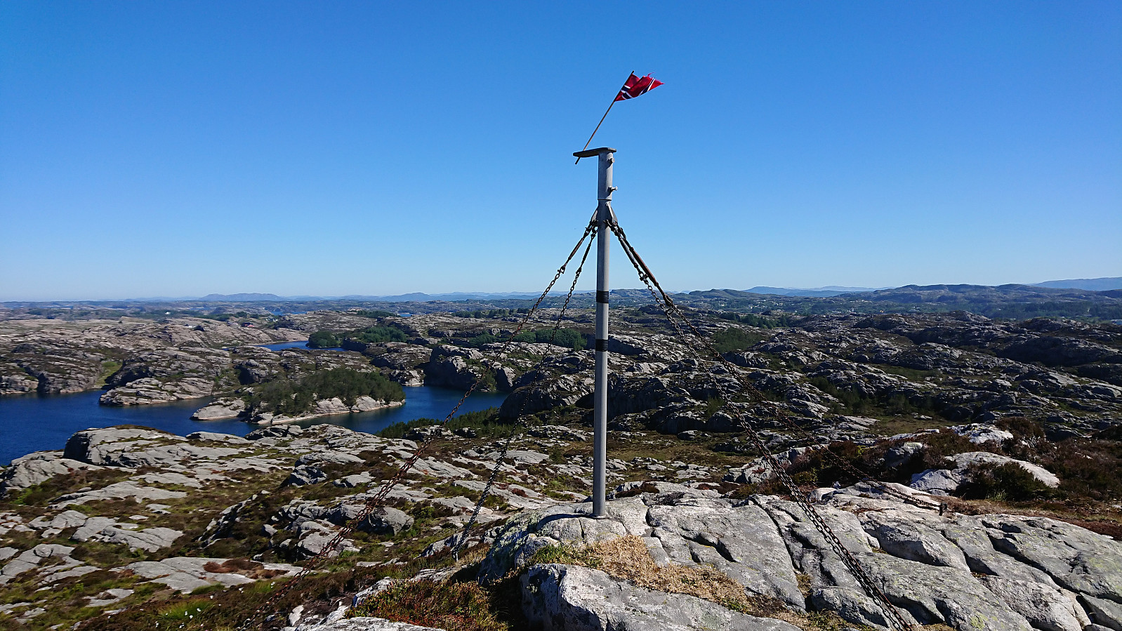
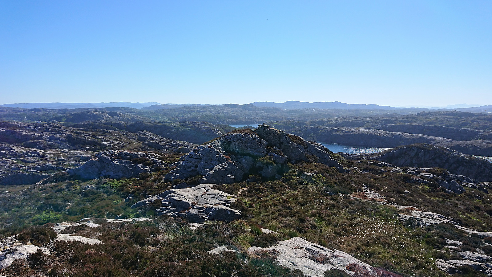
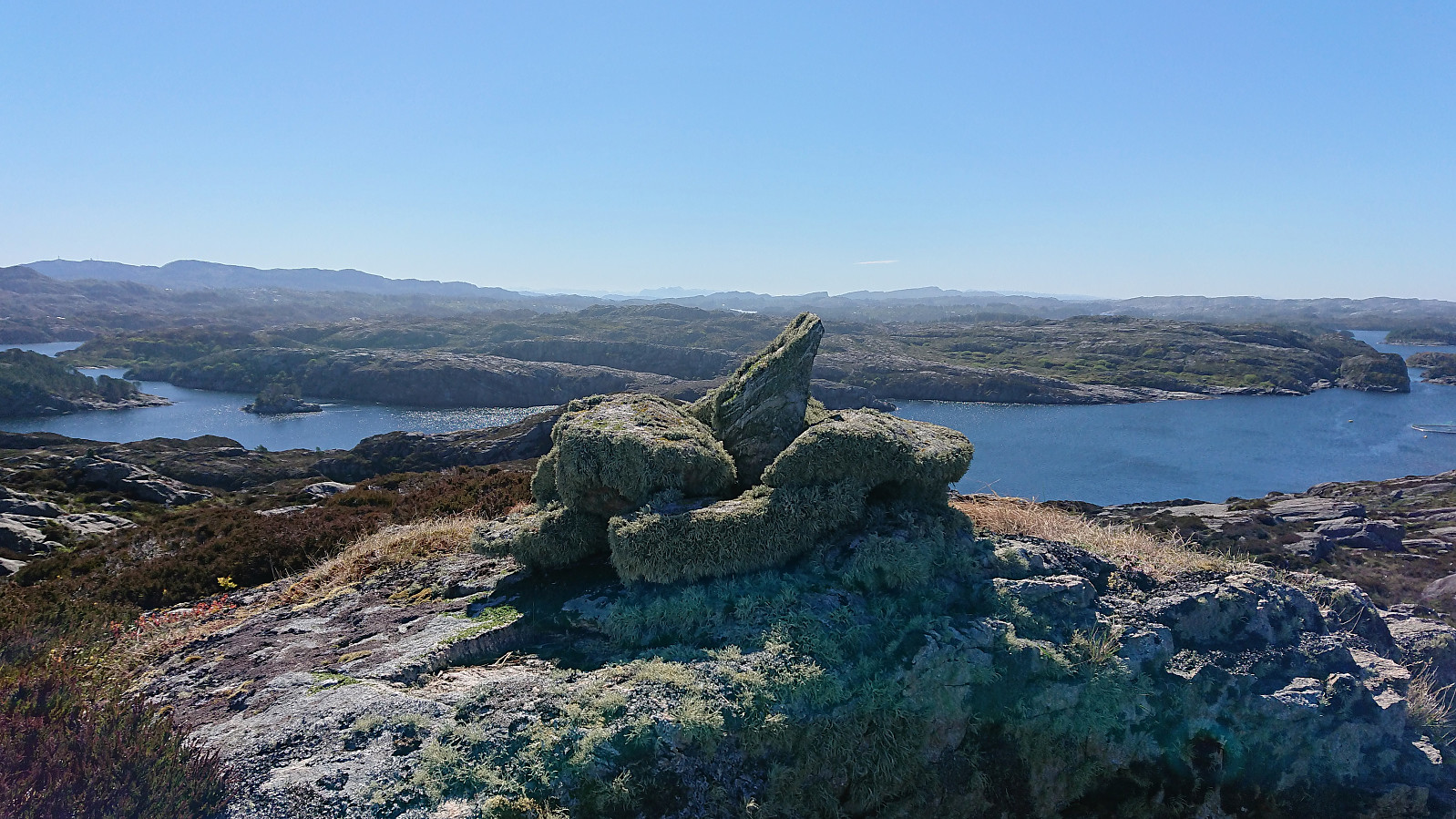
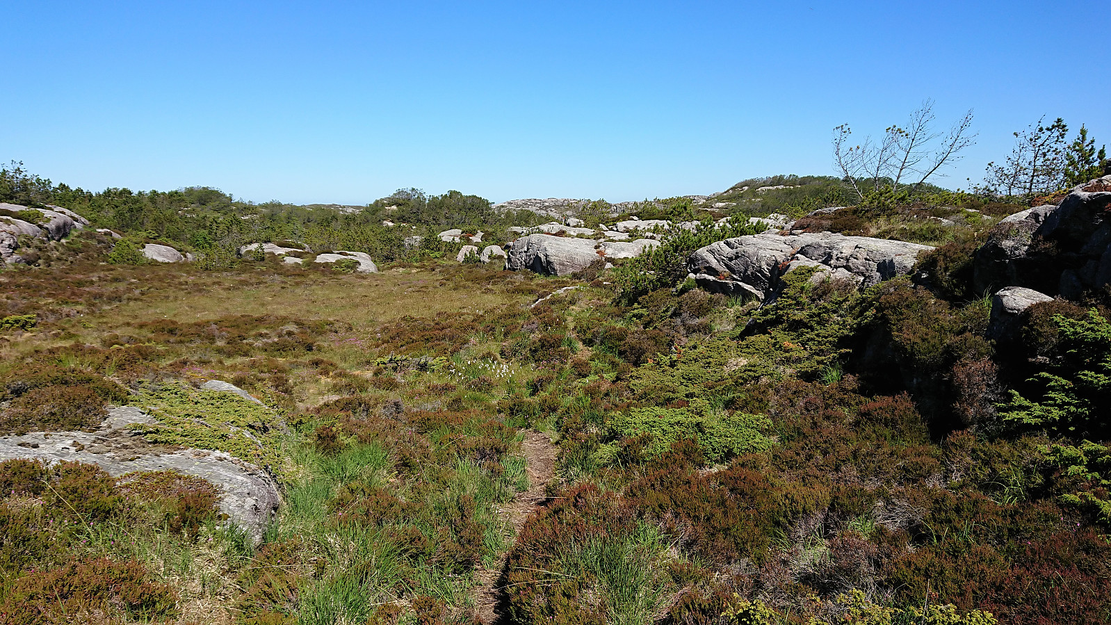
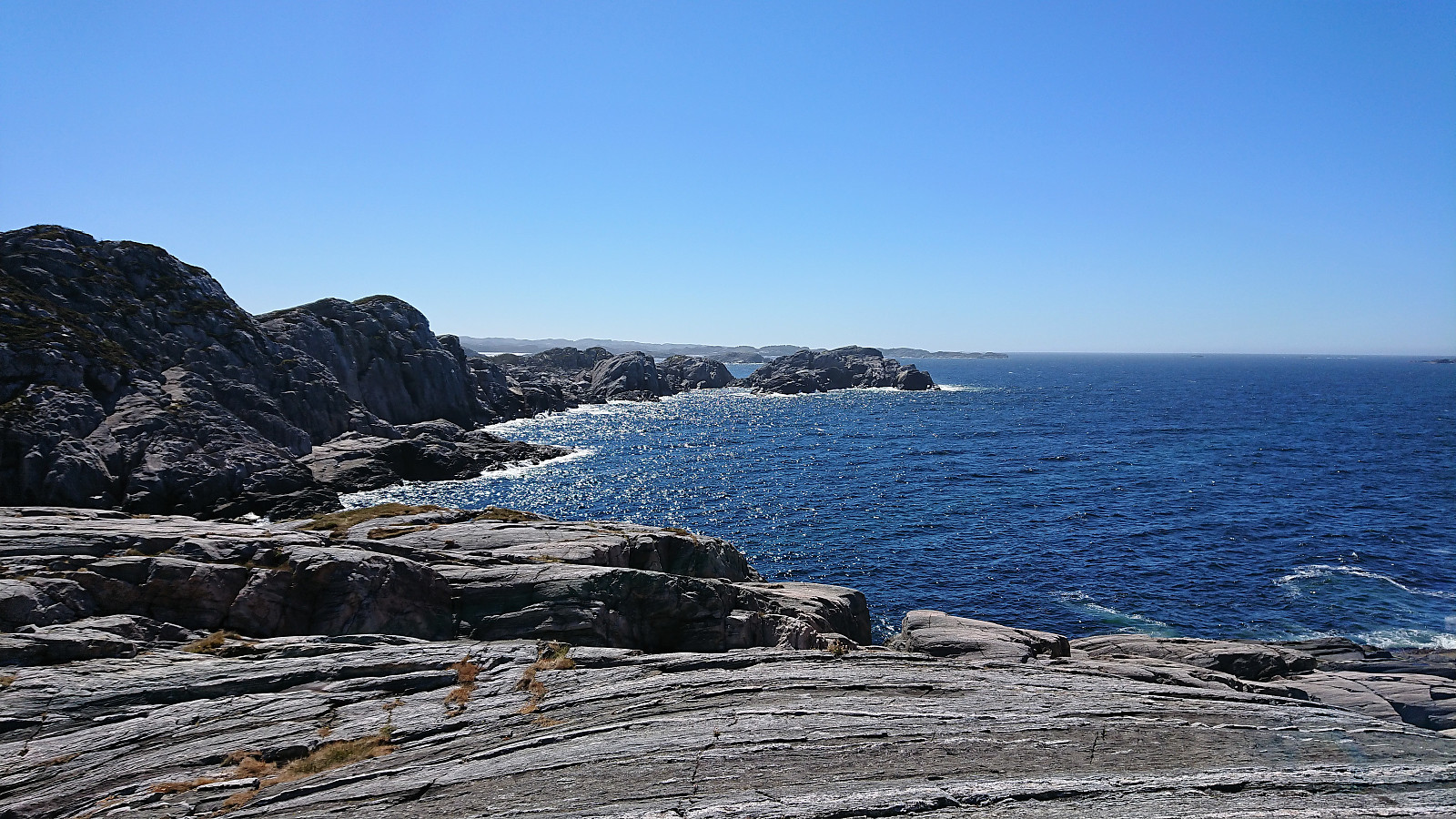
The nice marked trail, including multiple well-made bridges, could be easily followed and we soon arrived at Idlefjell (called Hillefjelllet on the map), for spectacular views, especially towards the sea, but also in all other directions. After signing the visitor register, we continued towards Sandeie/Sandeidneset. Still along a marked trail, but of more variable quality, with some sections that are probably relatively wet in less dry periods.
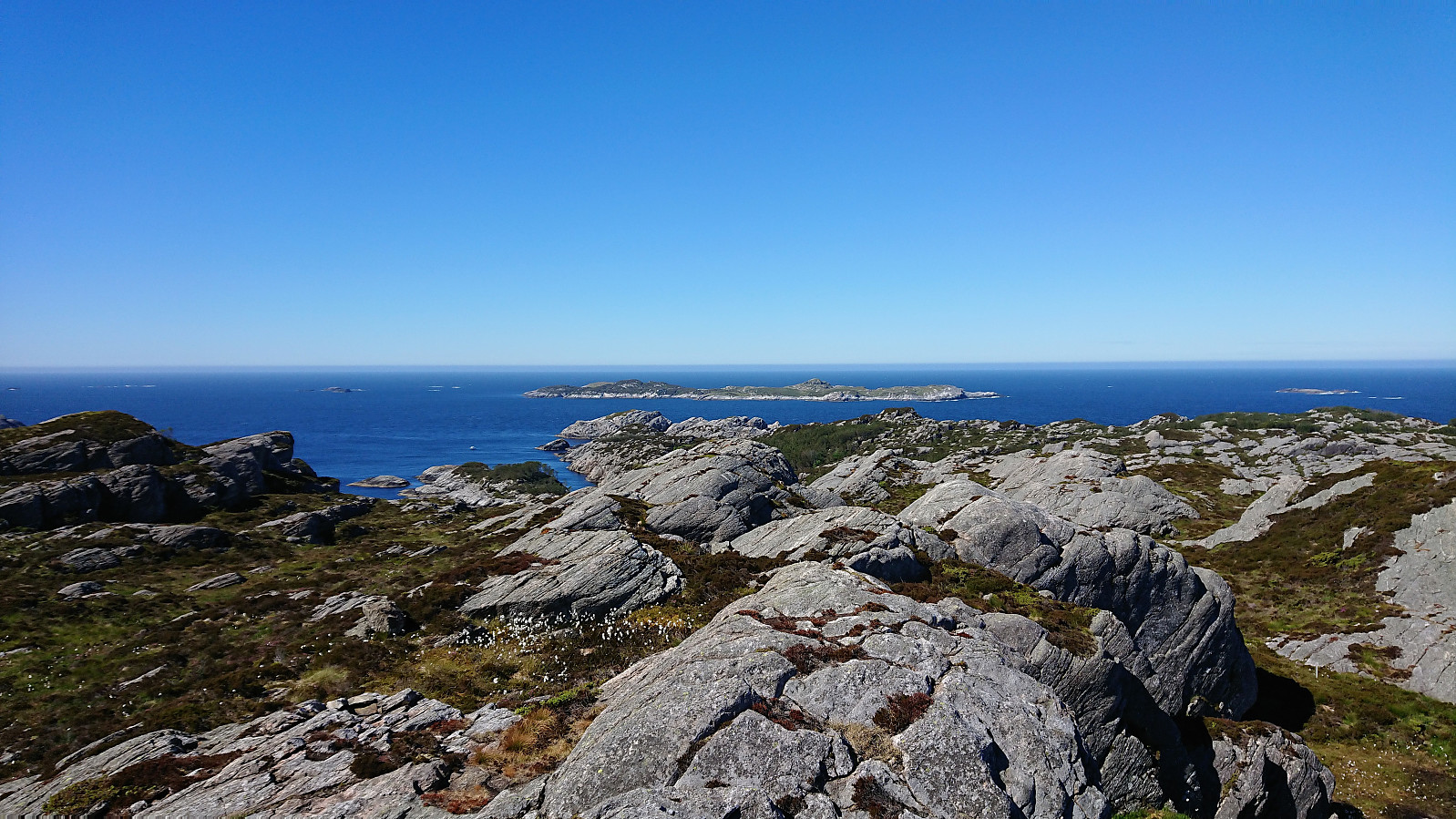
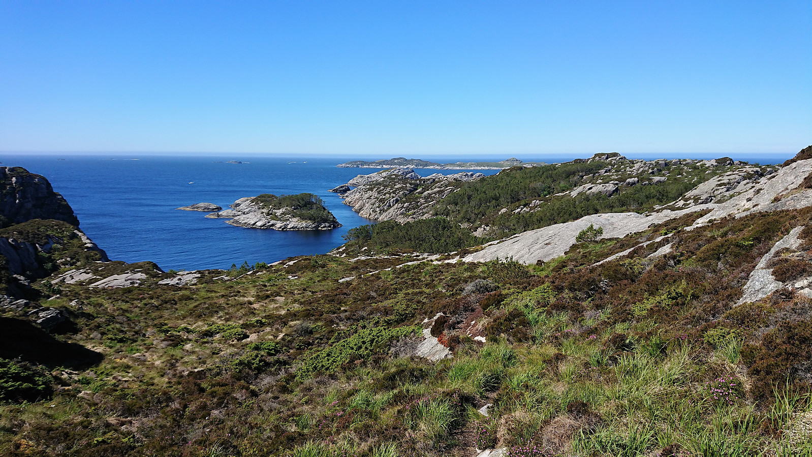
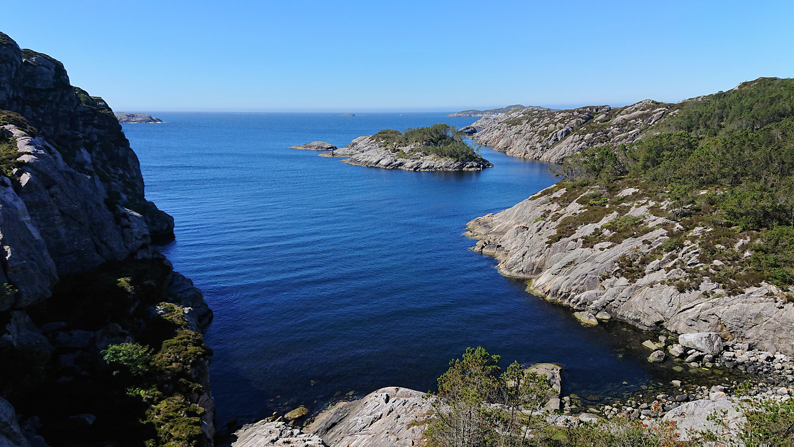
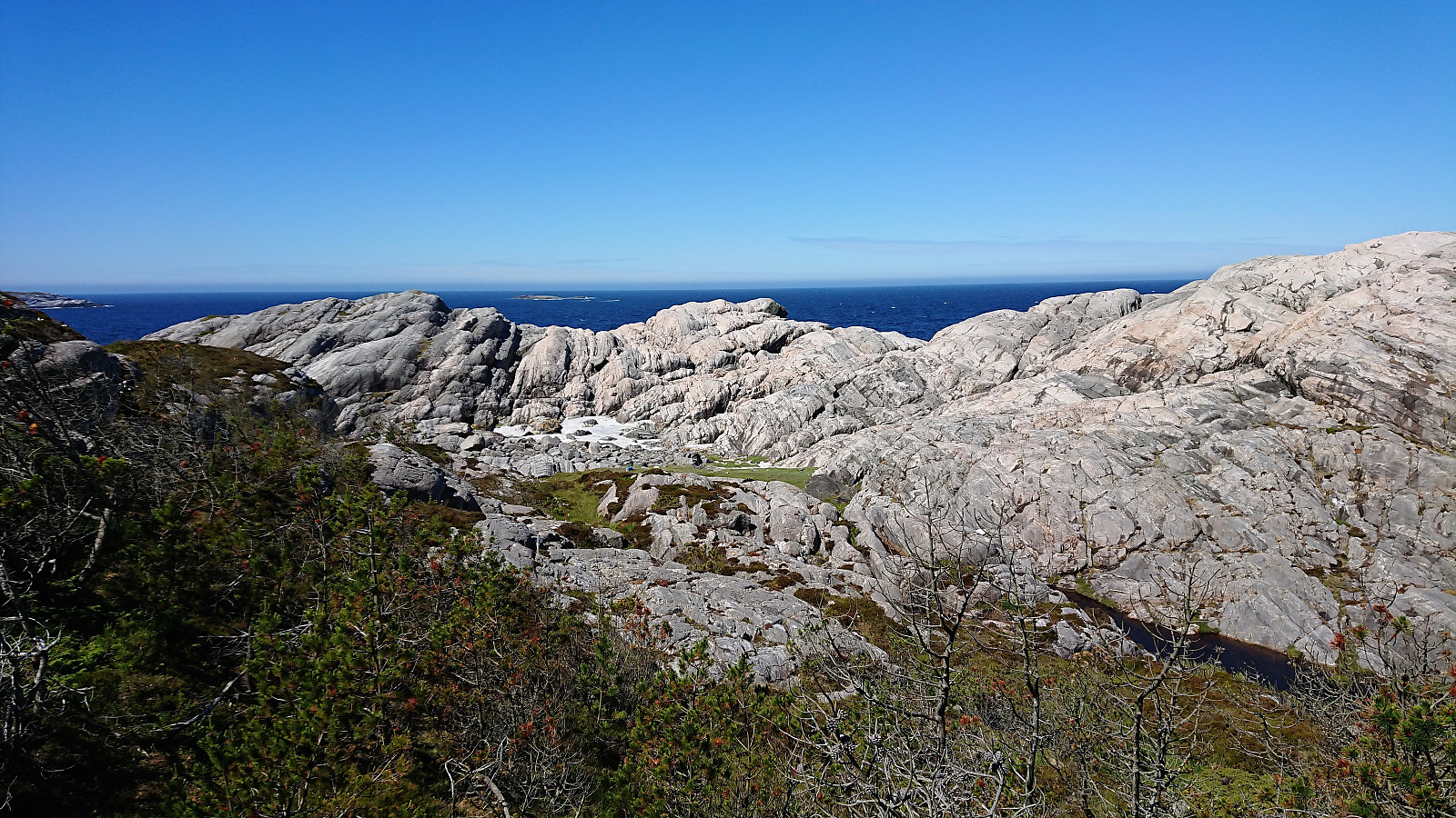
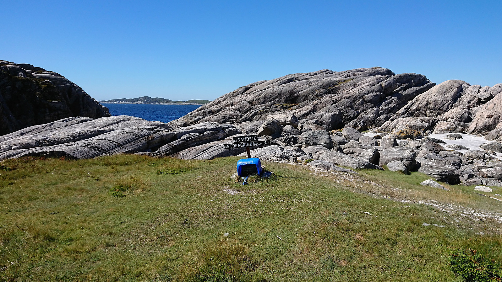
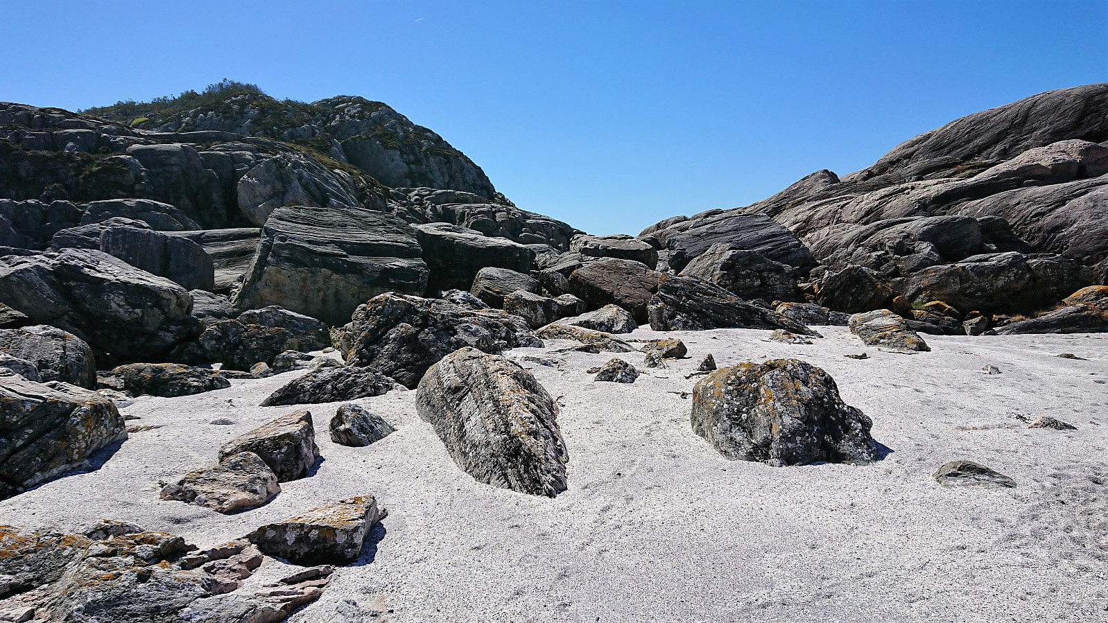
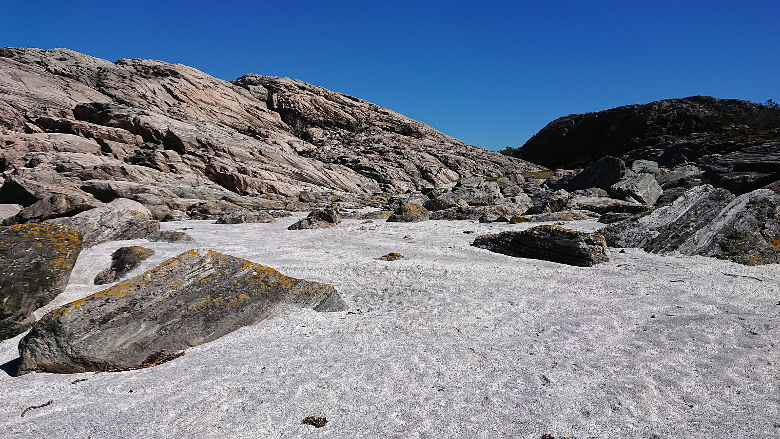
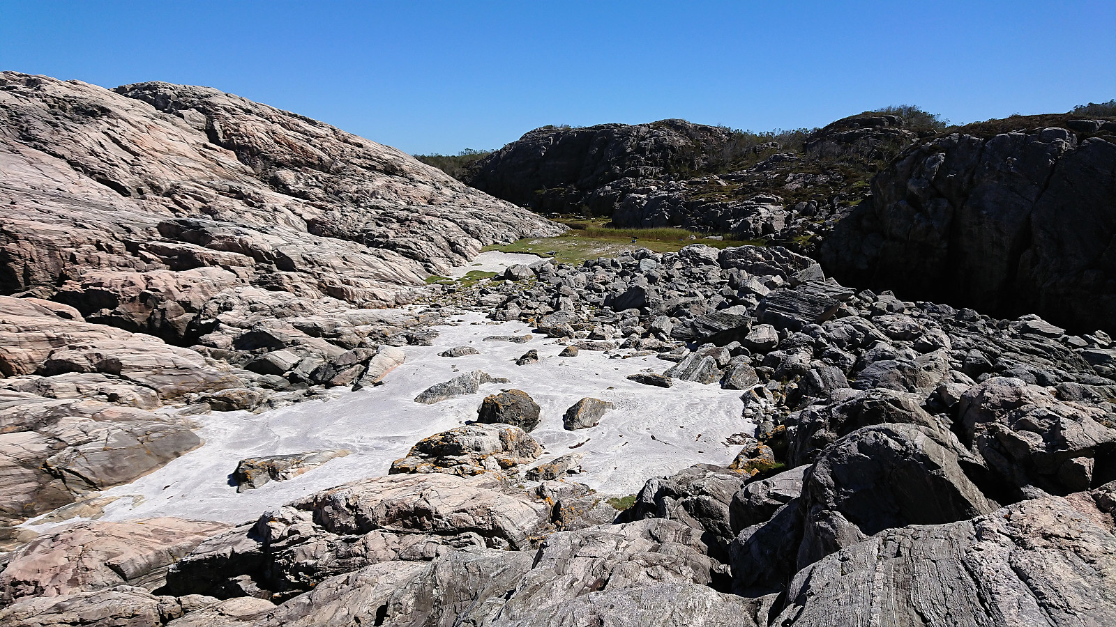
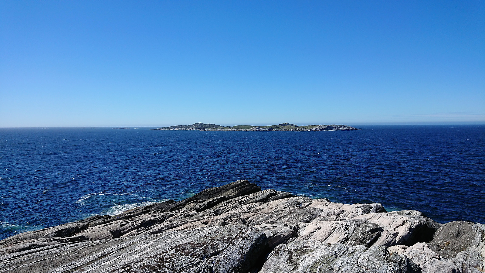
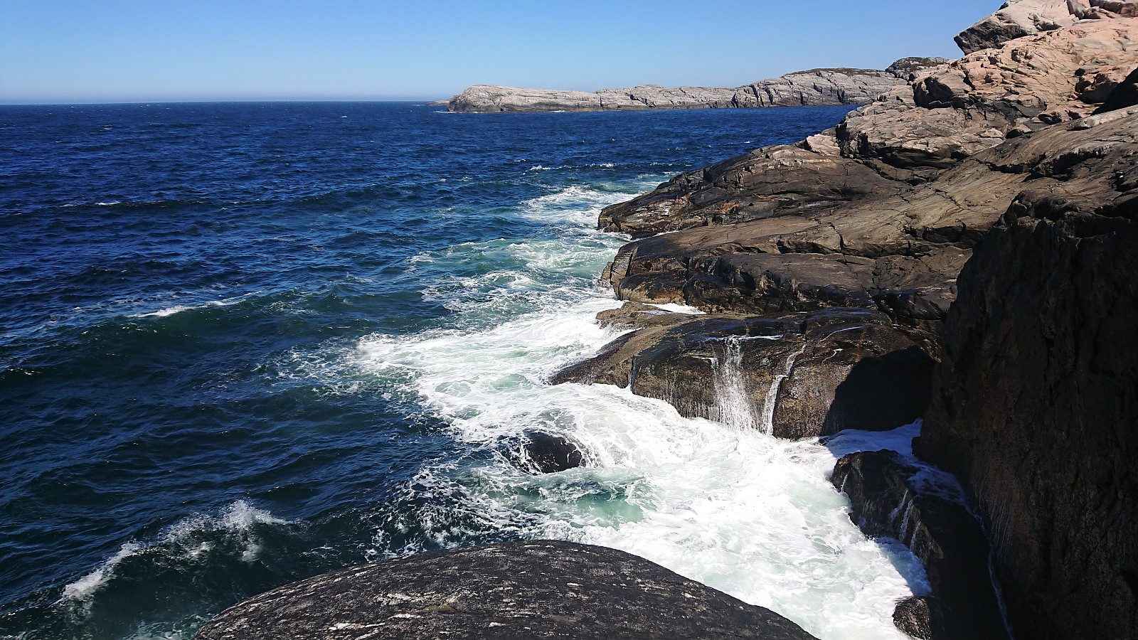
Sandeie turned out to be a very interesting location, with a small beach made up of ground-up sea shell surrounded by boulders and located in between low hills without vegetation. After climbing across the boulders and up the small hills, the view towards the sea opened up before us.
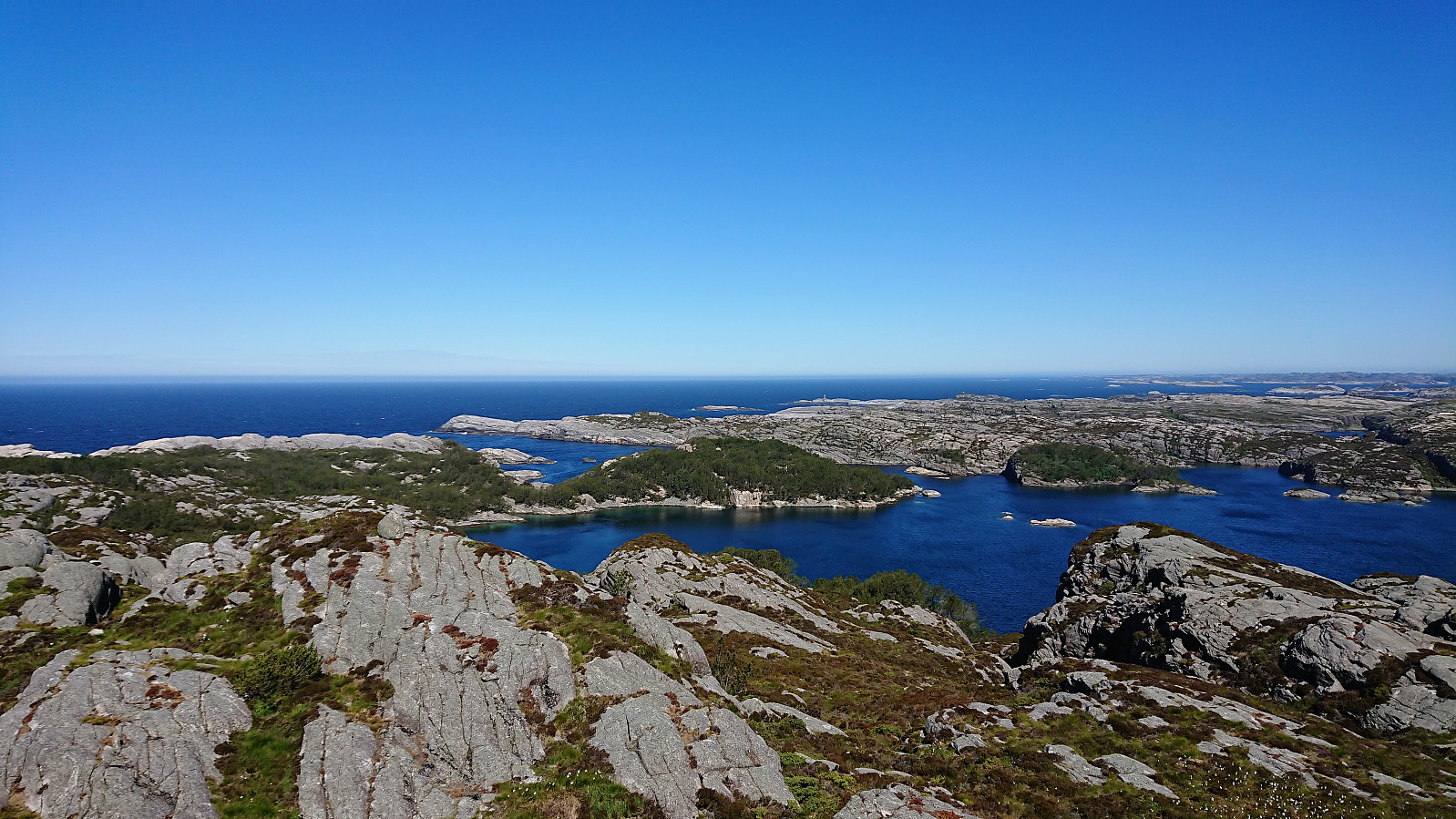
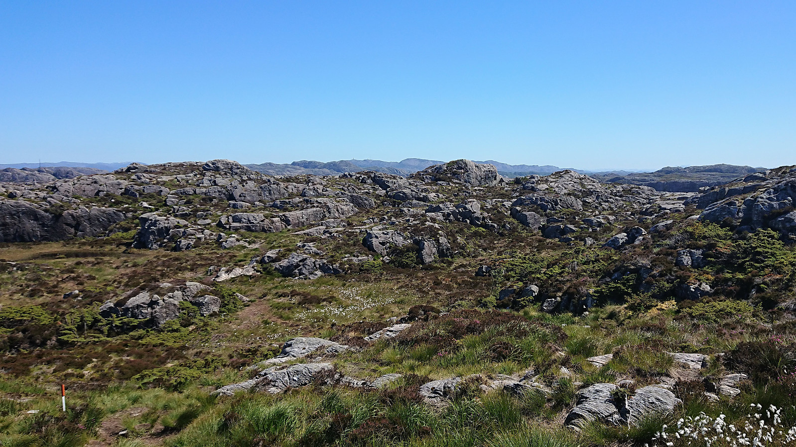
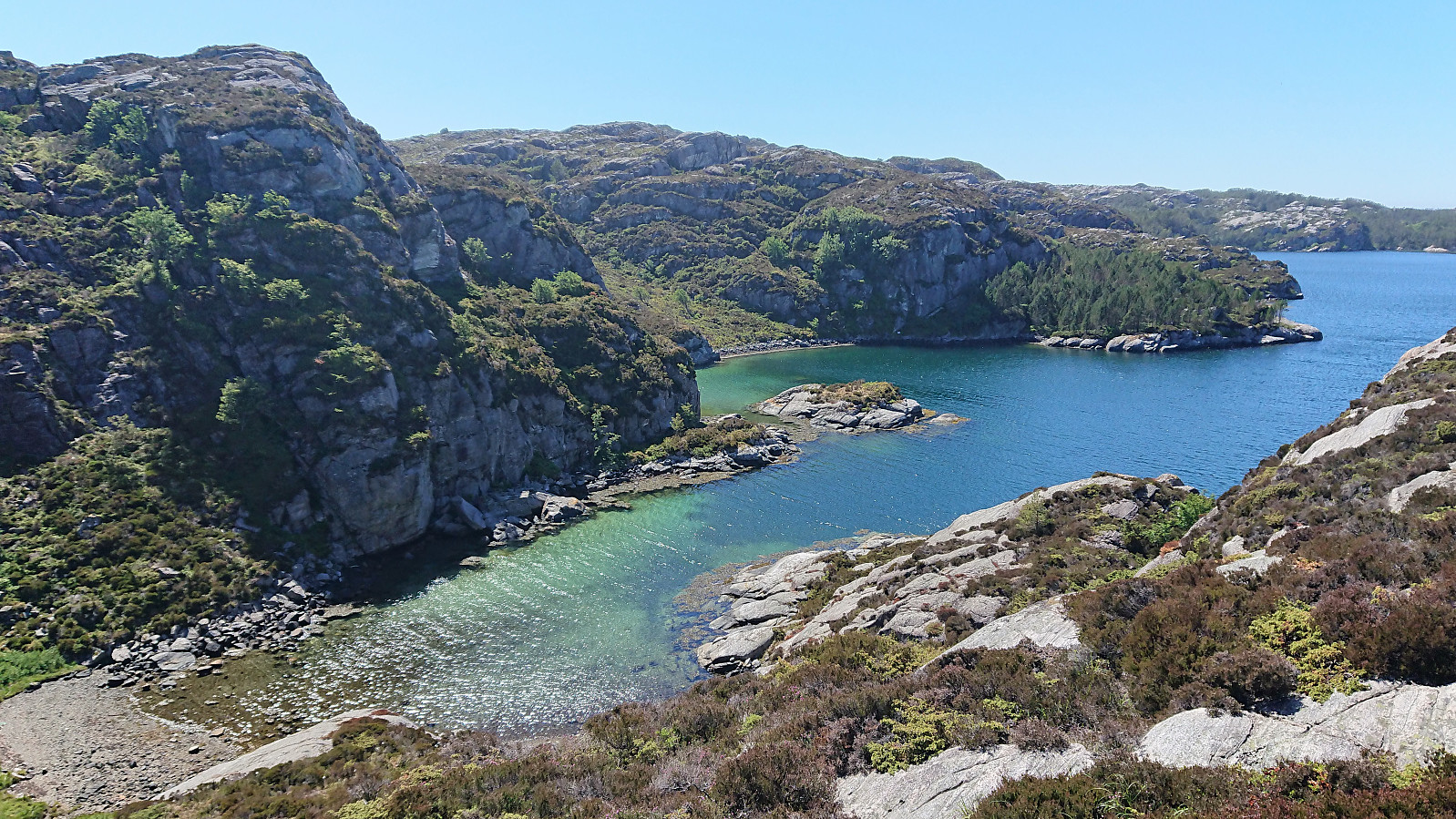
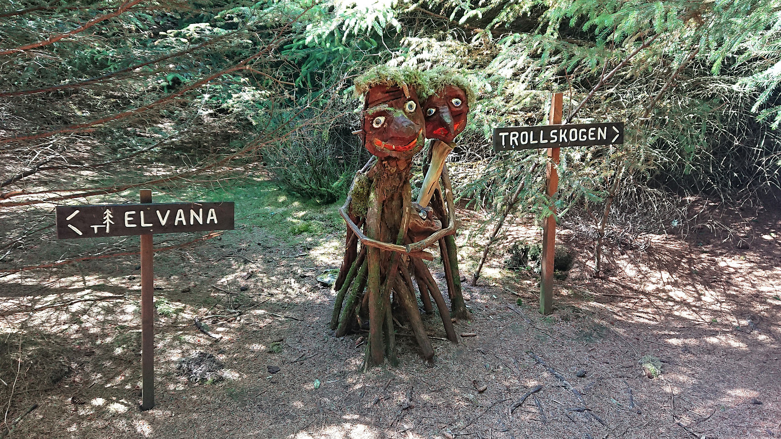
We found a place out of the wind to have lunch, before starting our return to Idlefjell. We decided to go for the alternative marked route along Arevika for the return, which resulted in very nice views along the way, and sending us passed the entrance to Trollskogen, which we did not have the time to explore today.
Upon reaching the crossroads where the blue and the red trail reconnected, all that remained was a 3-4 km walk back to Vestsidevegen for the bus back to Bergen (bus stop called "Algrøyna kryss"). (The reason being that the buses had just started their summer schedule and there were no more buses from Algrøyna until the next day. Should be better during the normal bus schedule.) This walk along the road was perhaps not the most exciting, but there was limited traffic and nice views along the way.
Overall, a very nice hike that can be very highly recommended. But definitely a trip for days with nice weather and not too strong winds. Note that the time listed is in a medium/low pace and with significant amounts of breaks, including lunch. Hence, it's possible to do this hike much faster. But then one would miss most of the nice views along the way, which is kind of the main point of this hike.
| Start date | 29.06.2018 09:37 (UTC+01:00 DST) |
| End date | 29.06.2018 15:55 (UTC+01:00 DST) |
| Total Time | 6h 17min |
| Moving Time | 5h 00min |
| Stopped Time | 1h 18min |
| Overall Average | 2.1km/h |
| Moving Average | 2.7km/h |
| Distance | 13.4km |
| Vertical meters | 576m |

User comments