Sollikammen, Totlandsfjellet and Håkonshaugen (23.06.2018)

| Startsted | Furuberget (63moh) |
|---|---|
| Sluttsted | Øvre Isdalen (99moh) |
| Turtype | Fjelltur |
| Turlengde | 4t 25min |
| Distanse | 17,6km |
| Høydemeter | 746m |
| GPS |
|
| Bestigninger | Sollikammen (166moh) | 23.06.2018 |
|---|---|---|
| Totlandsfjellet, Seim i Lindås (204moh) | 23.06.2018 | |
| Andre besøkte PBE'er | Håkonshaugen (100moh) | 23.06.2018 |
Sollikammen, Totlandsfjellet and Håkonshaugen
Sollikammen
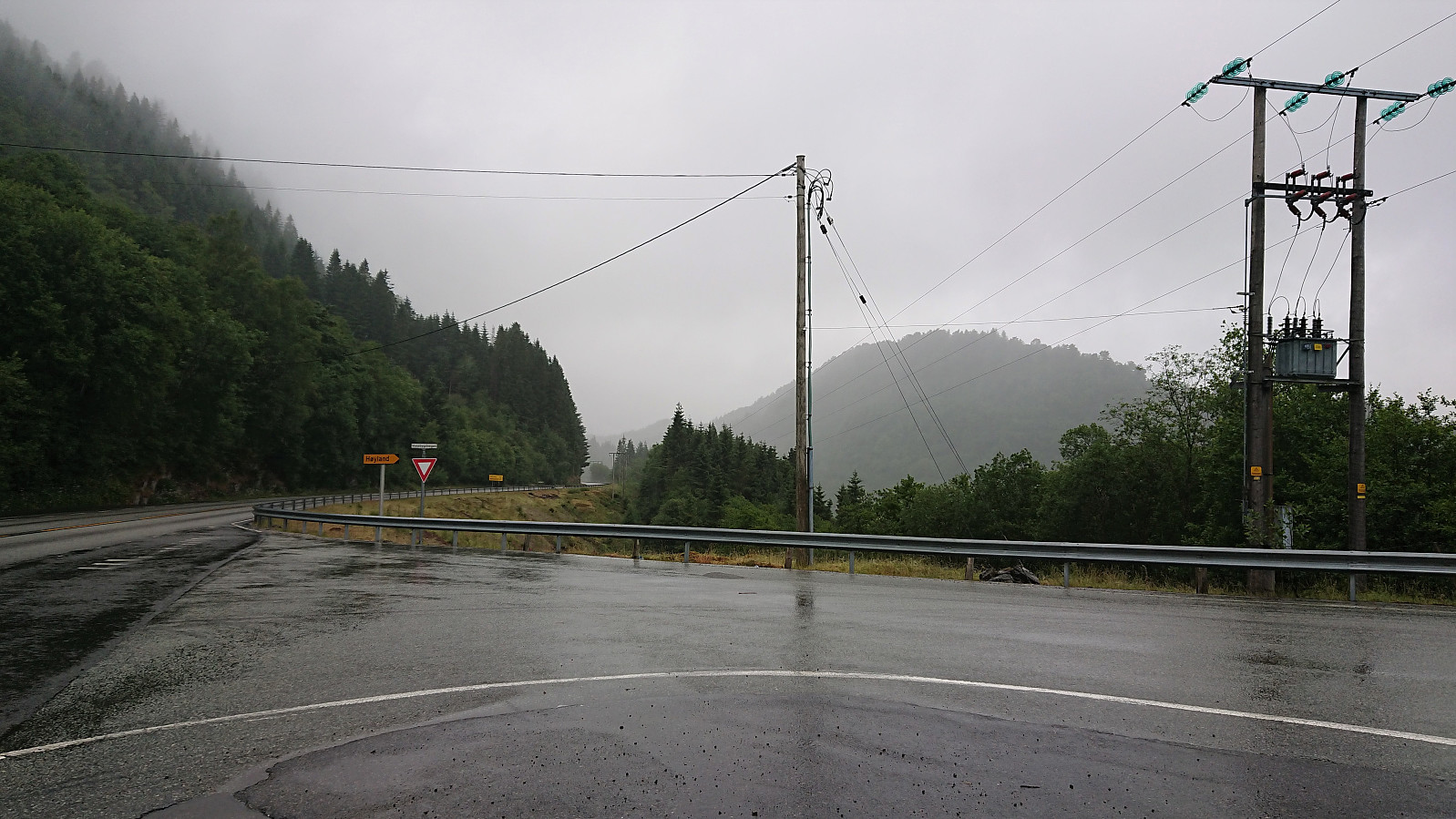
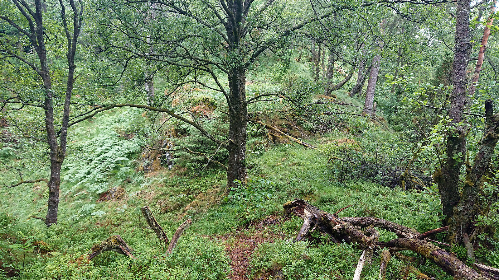
Started by taking the bus to Furuberg and in the light rain walking along the main road towards the start of the tractor road for Sollikammen. No sidewalk, but a pretty straight road with good overview of any cars coming my way. As I reached the gravel road taking off northwest along Rydlandsvågen I crossed the road and located the tractor road going southeast along Storavatnet. Clearly not very heavily used, but it did make it straightforward to arrive at the trailhead for Sollikammen, just where the tractor road turned northeast.
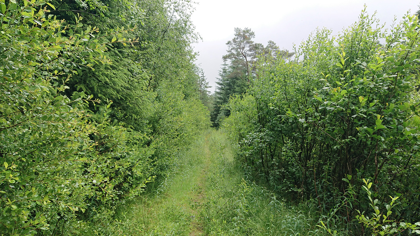
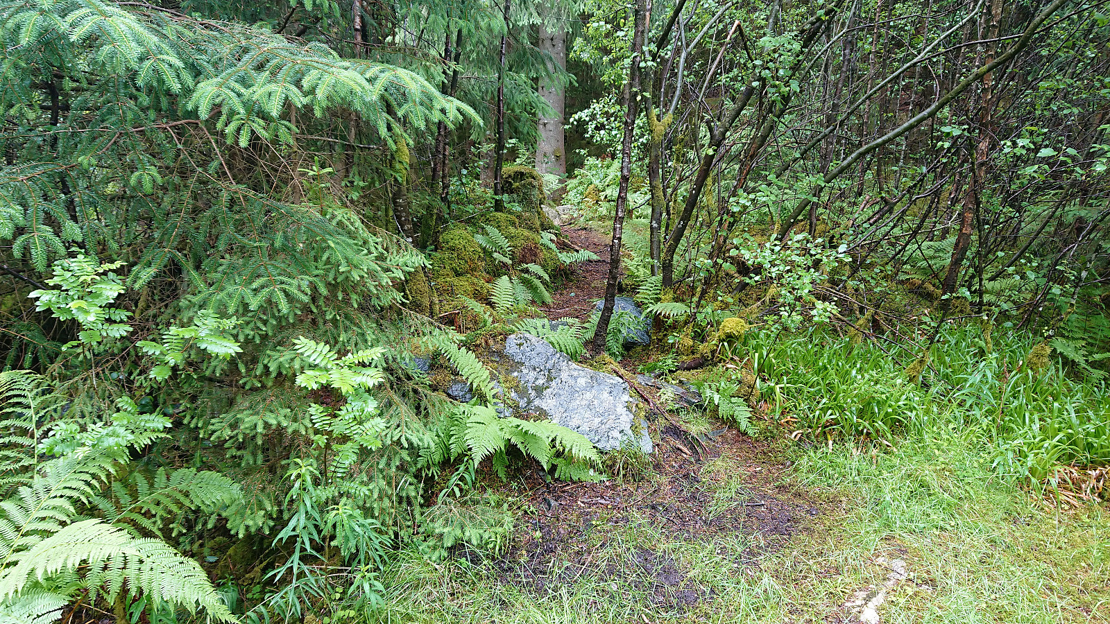
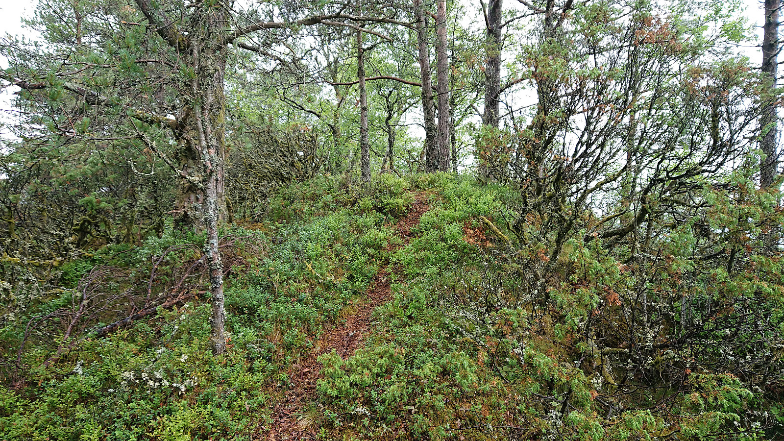
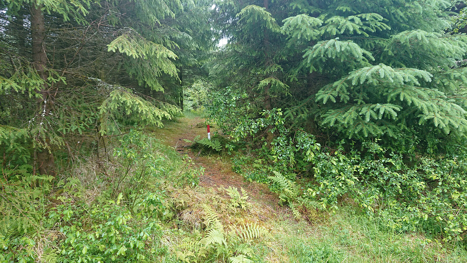
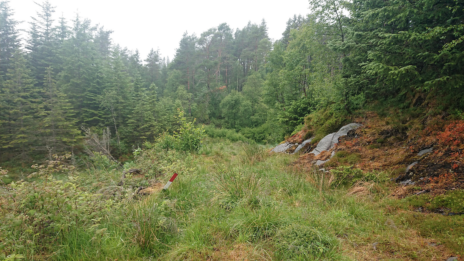
The trailhead was unmarked, but easy to locate if one knows where to look for it. The trail itself was marked with the odd white plastic marker, but far from frequently enough to be of any real use. At the start the trail was easy to follow, but upon reaching the first small plateau before the final climb, it pretty much disappeared. But after a short while of following only traces of a weak trail, the trail reappeared, and from there on it could be easily followed all the way to the summit.
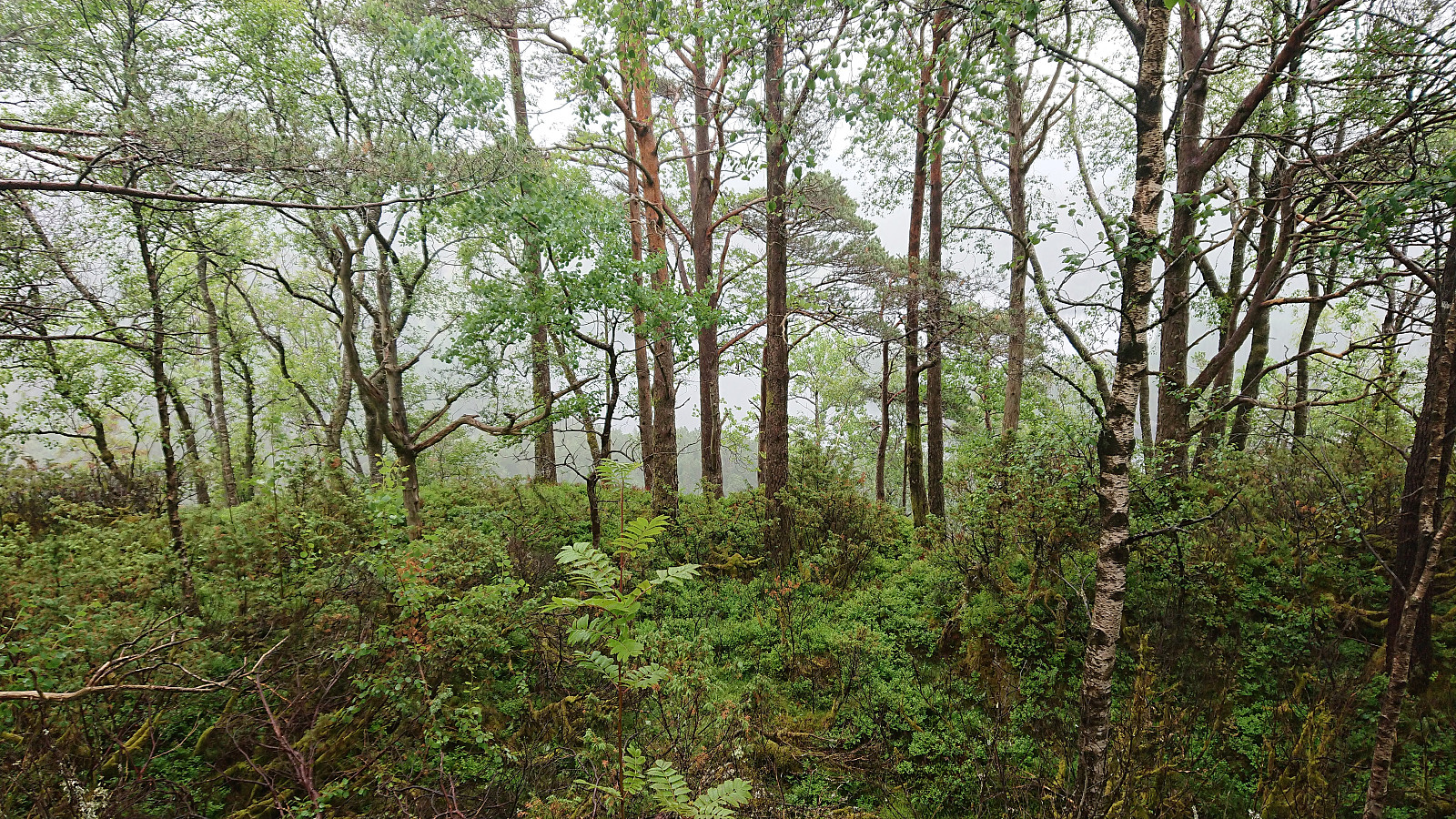
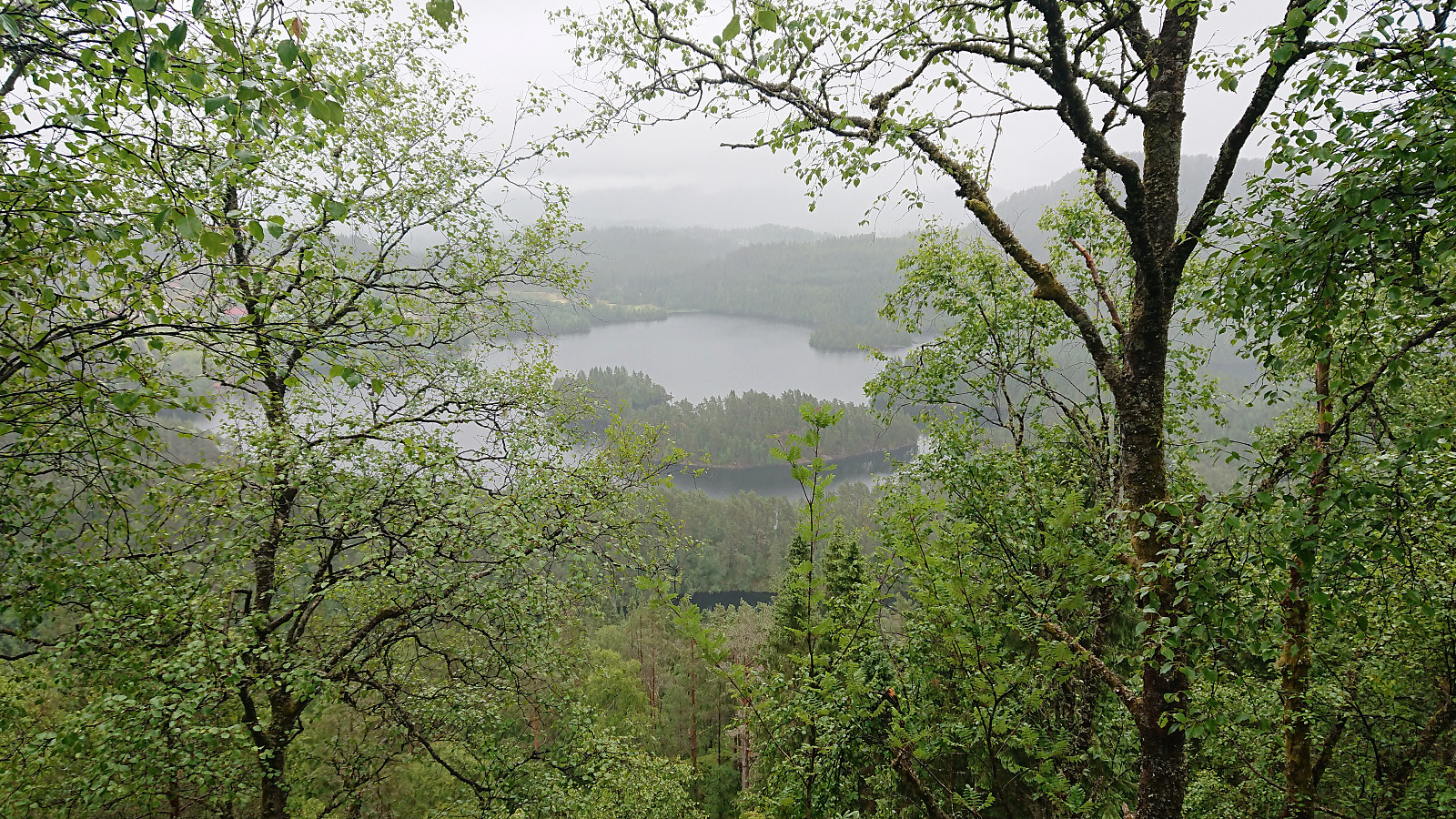
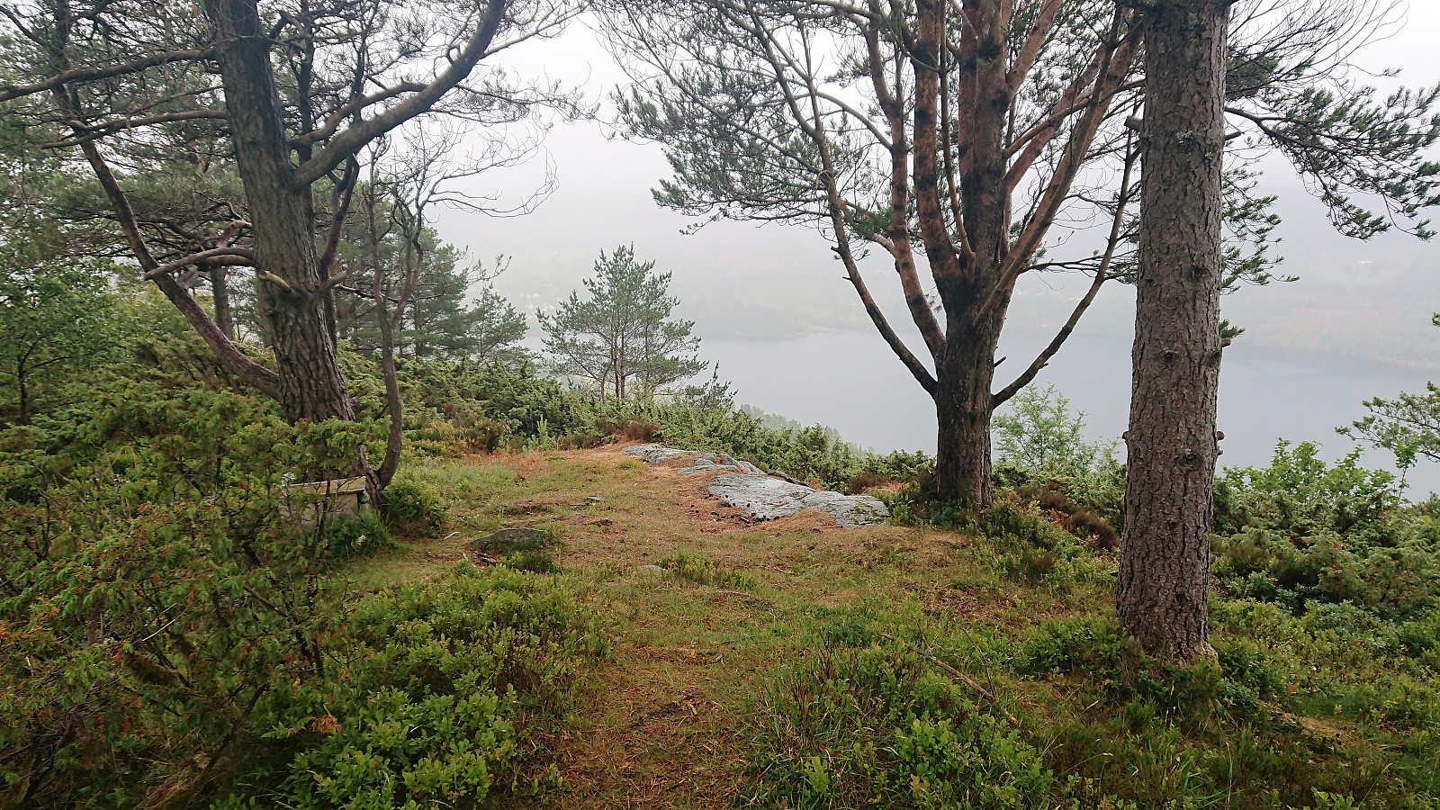
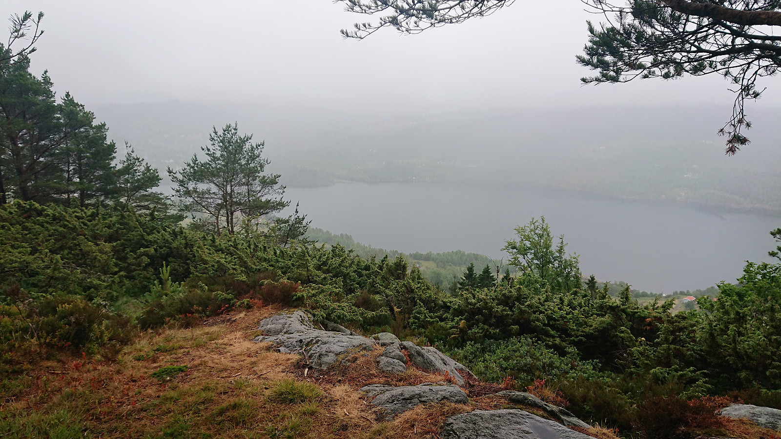
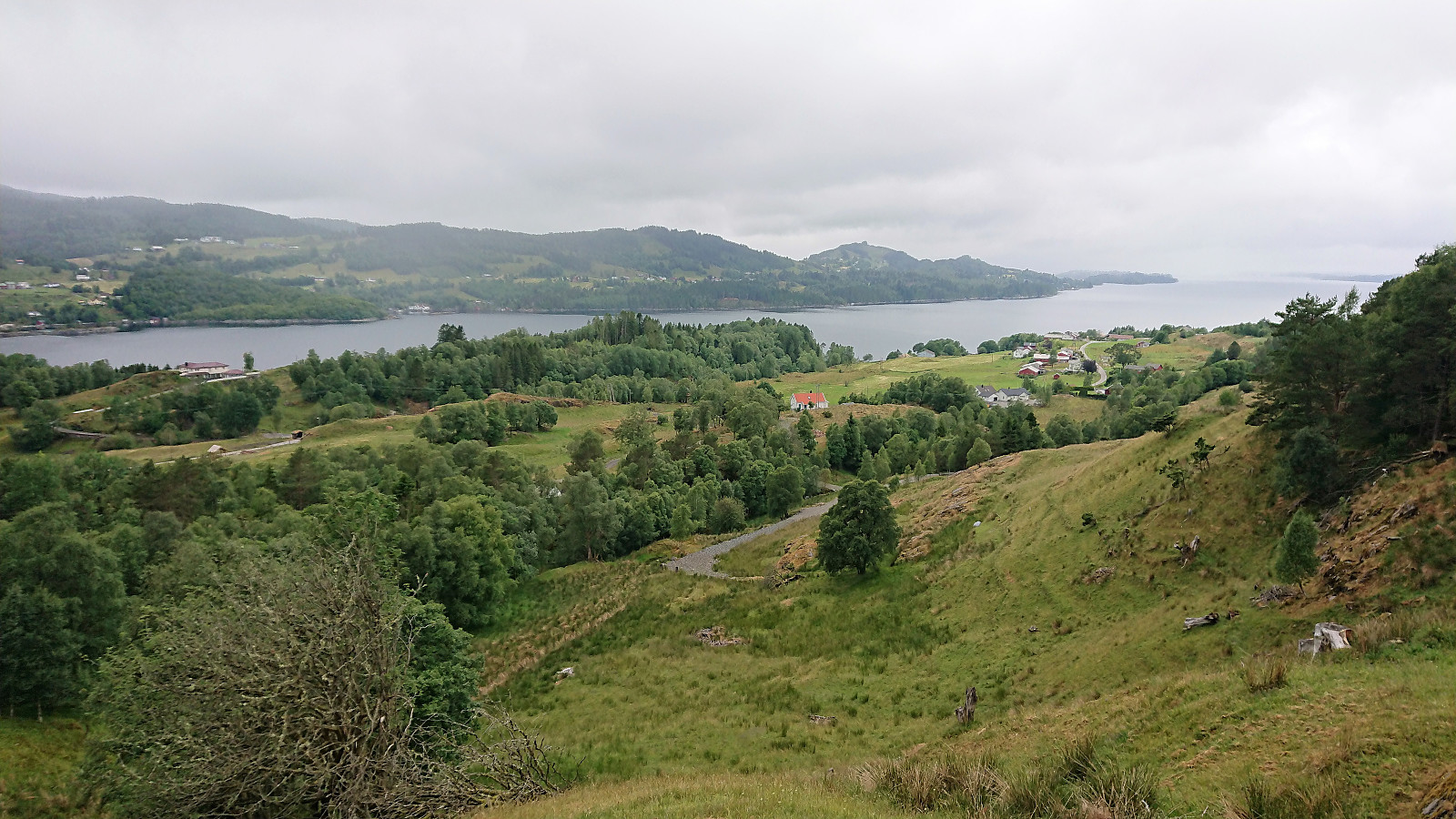
At the summit the views were very limited. The low-hanging clouds also did not help. I noticed that the trail continued northwest across the summit, meaning that it is probably also possible to ascend from that direction. I did not explore this option though, and rather returned the same way.
Totlandsfjellet
My next goal was Totlandsfjellet and the plan was to try ascending via the tractor road coming up from the east. An option I had not yet seen used in other trip reports. As I was registering my trip I however noticed that GeirL (Geir Lie) had just beaten me to it, having been there just hours before my own ascent.
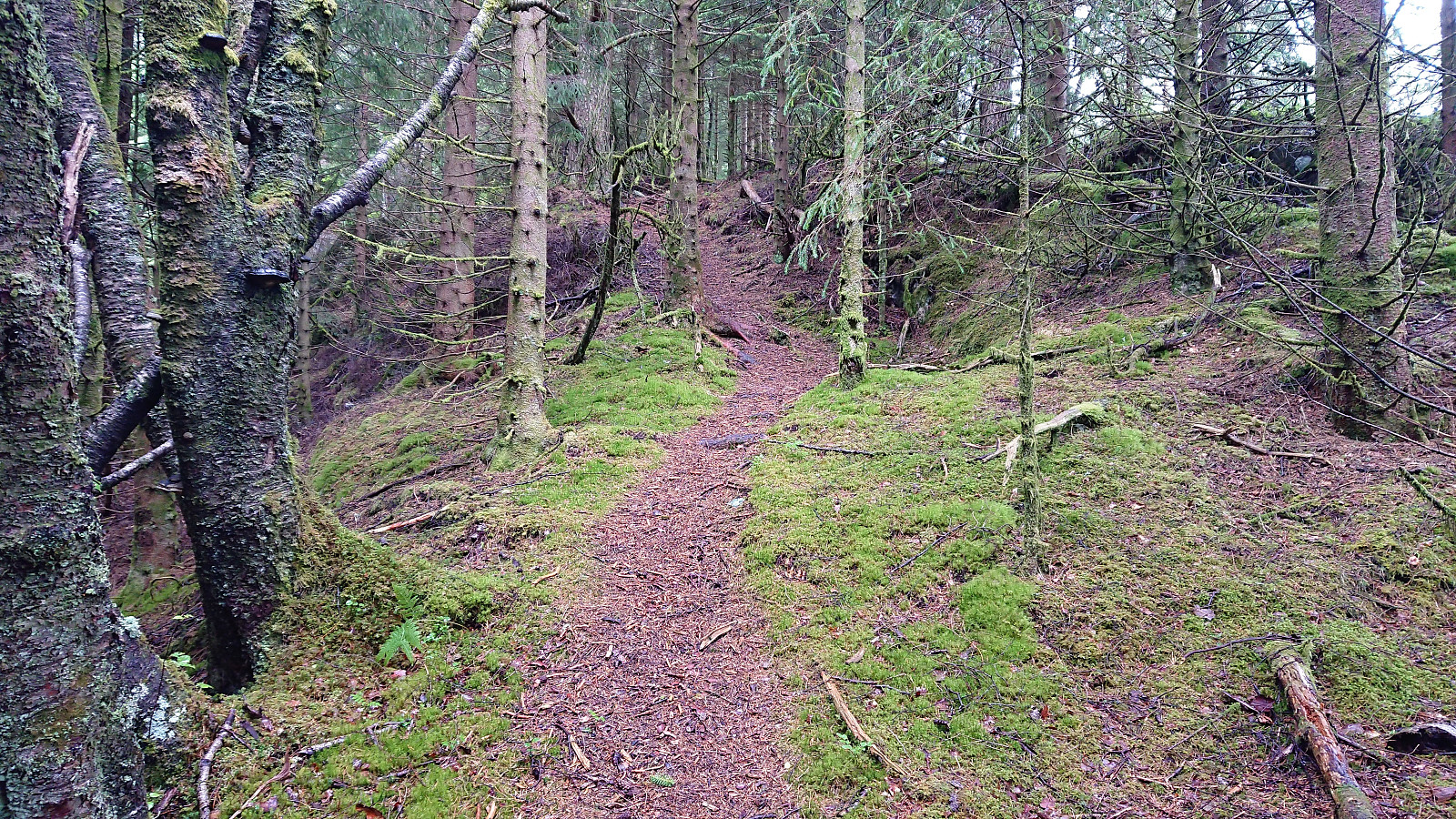
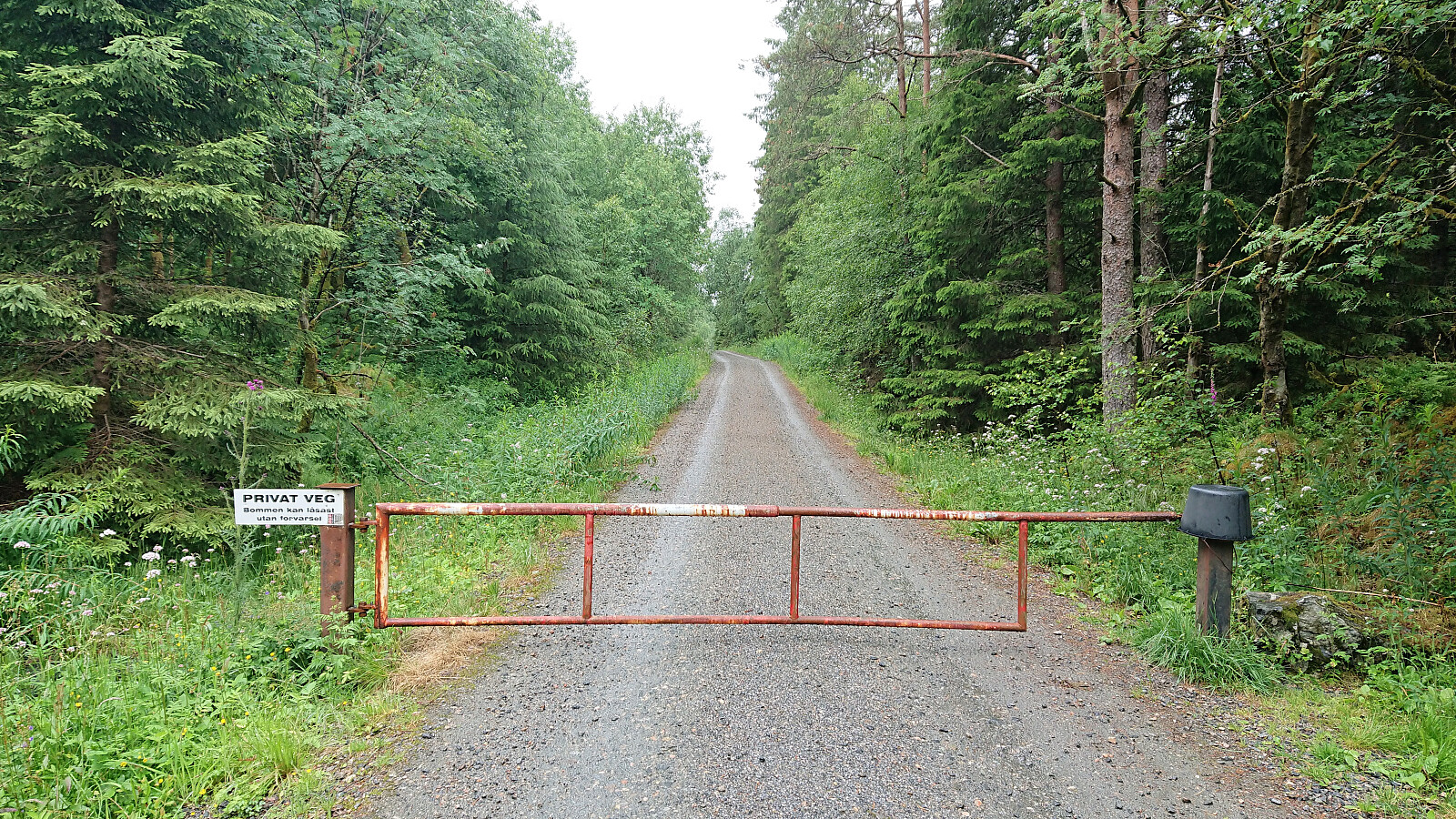
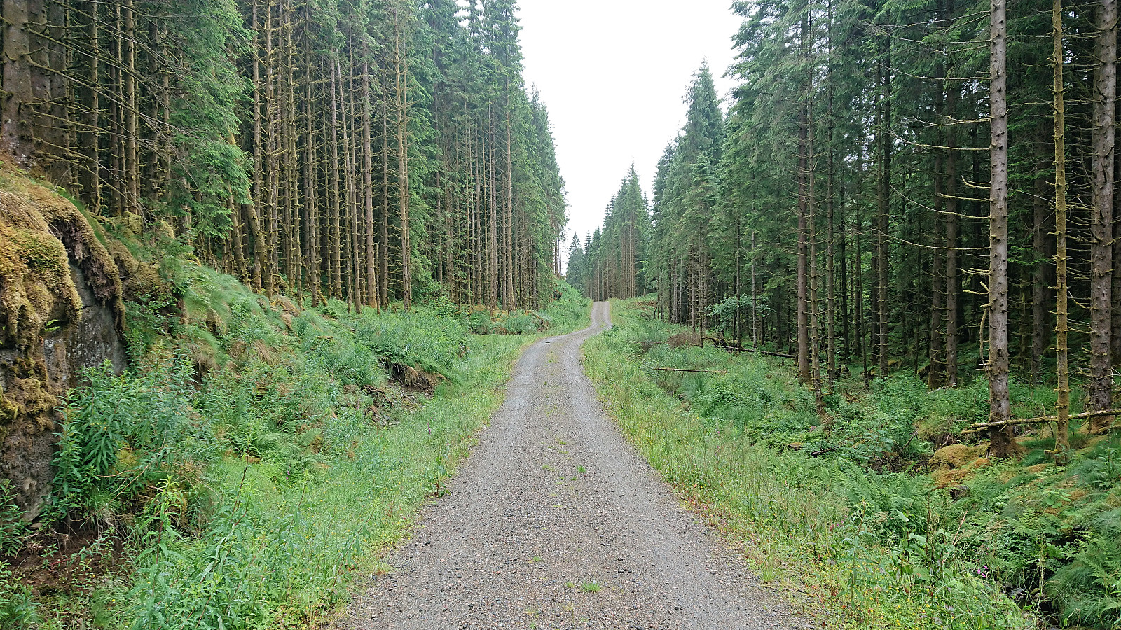
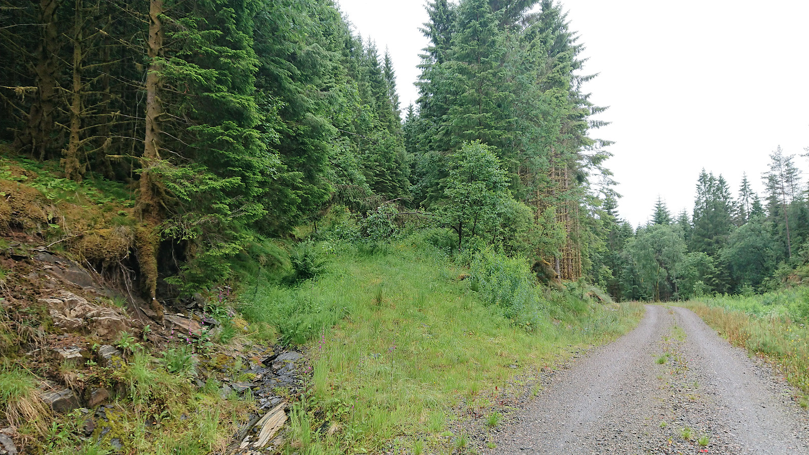
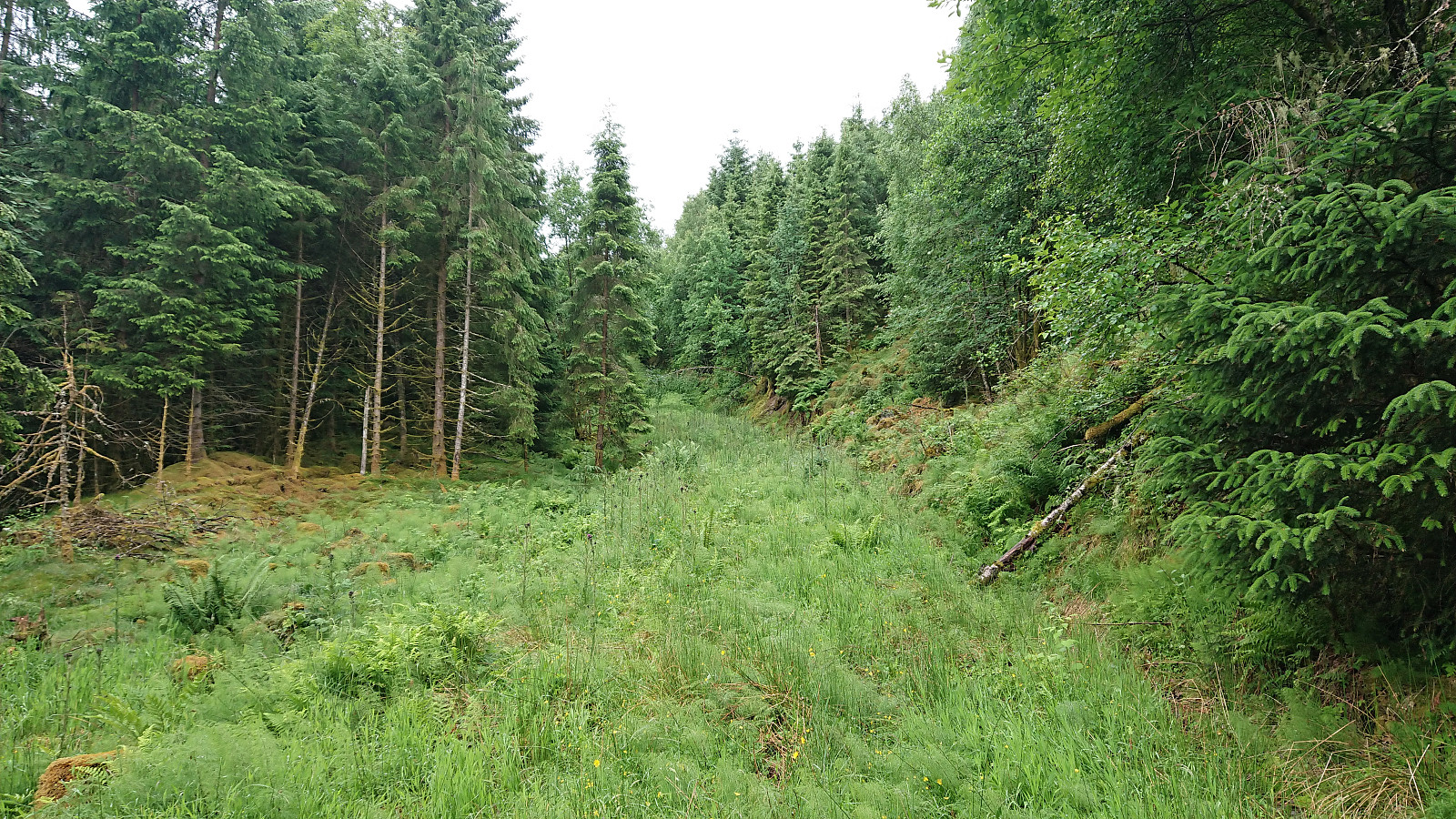
From the main road I started with a relatively boring walk along a private gravel road (with a locked gate) with close to zero views along the way. The gravel road did continue beyond Furhøyen, even though the map here indicated a tractor road. However, within not too long I left the gravel road and started west up the tractor road towards Totlandsfjellet. Again, clearly not a very frequently used road, but it did make the ascent significantly easier compared to the direct steeper route through the dense forest.
Just as the tractor road made its last turn west, I came across a marked trail coming in from the southeast, most likely the trail coming from Hoplandsfjellet/Svekanen. I followed this trail in the opposite direction and soon found myself at the summit of Totlandsfjellet. The low-hanging clouds greatly reduced the views here as well, which otherwise I suspect would have been quite nice.
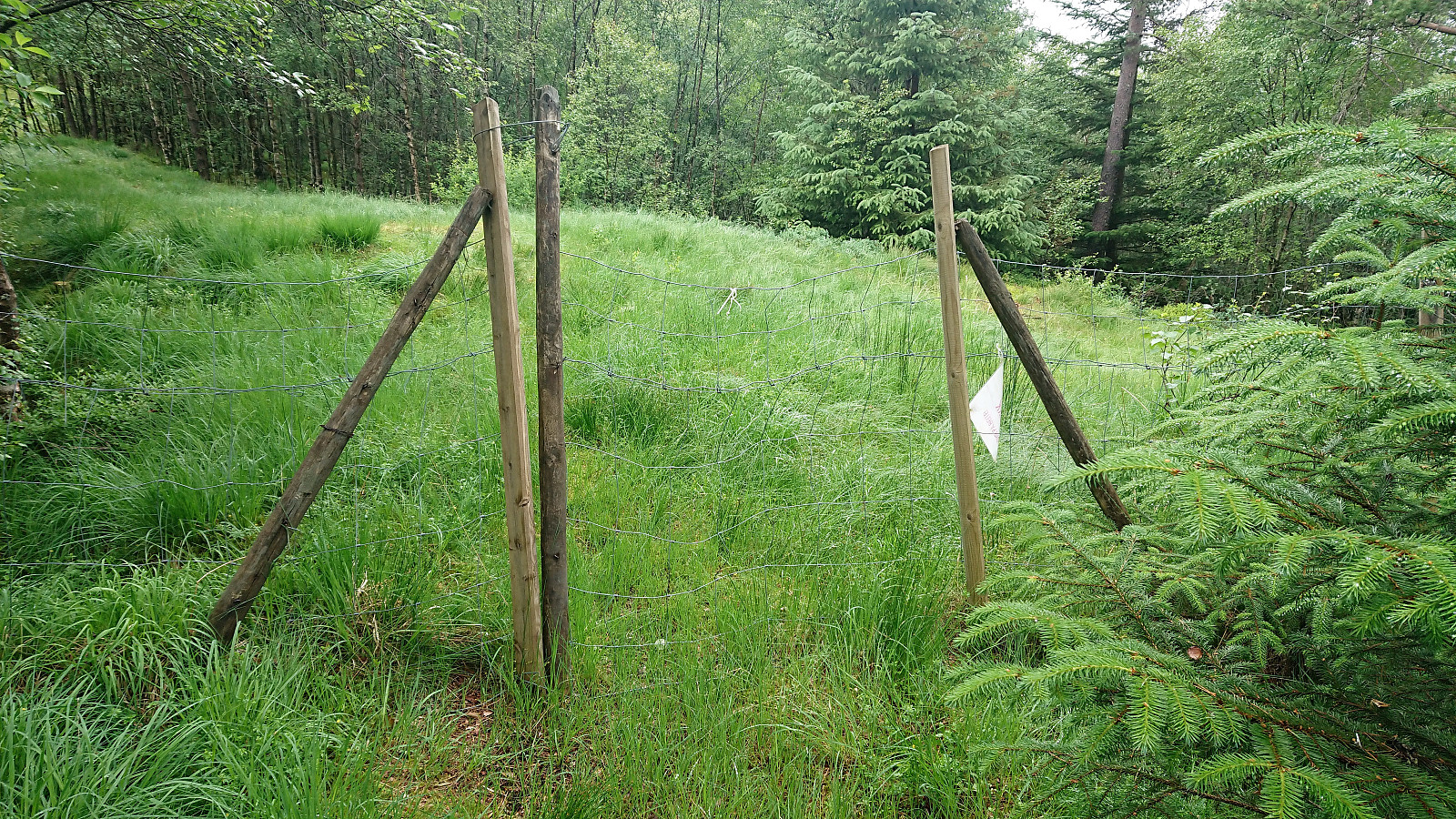
From the summit I continued northwest along the marked trail until passing a small gate south of Bruena. Here the marked trail continued northwest. But as I did not know exactly where it would end up, and given that I had to walk all the way back to Seim from wherever I ended up, I decided to rather take the shorter route down to Spurkeland.
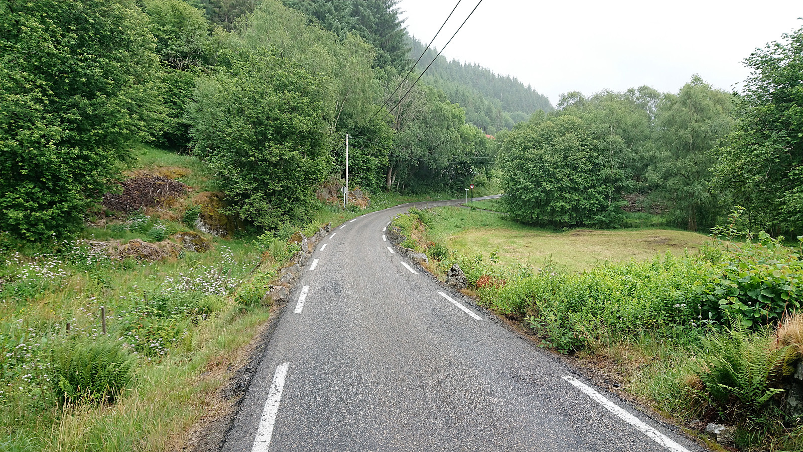
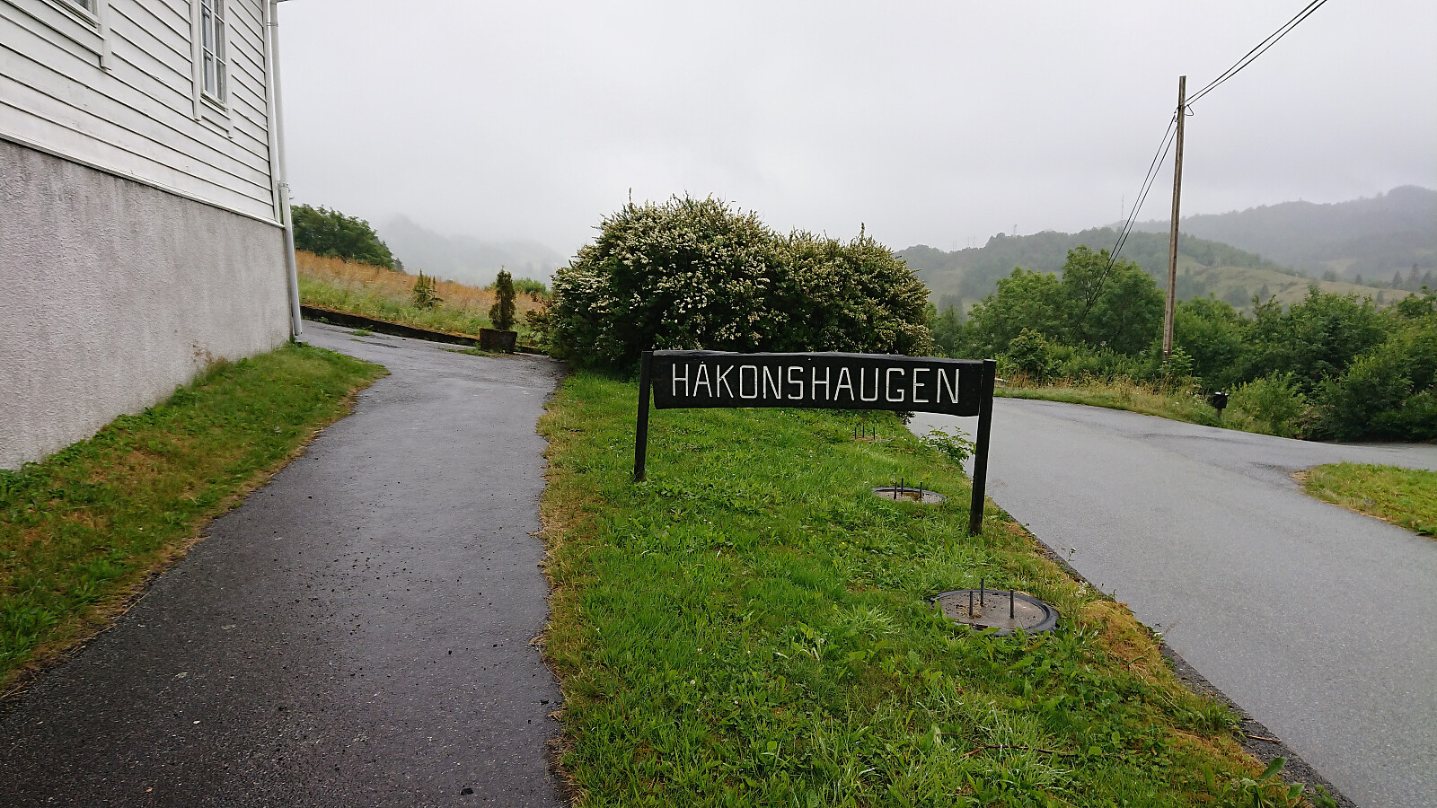
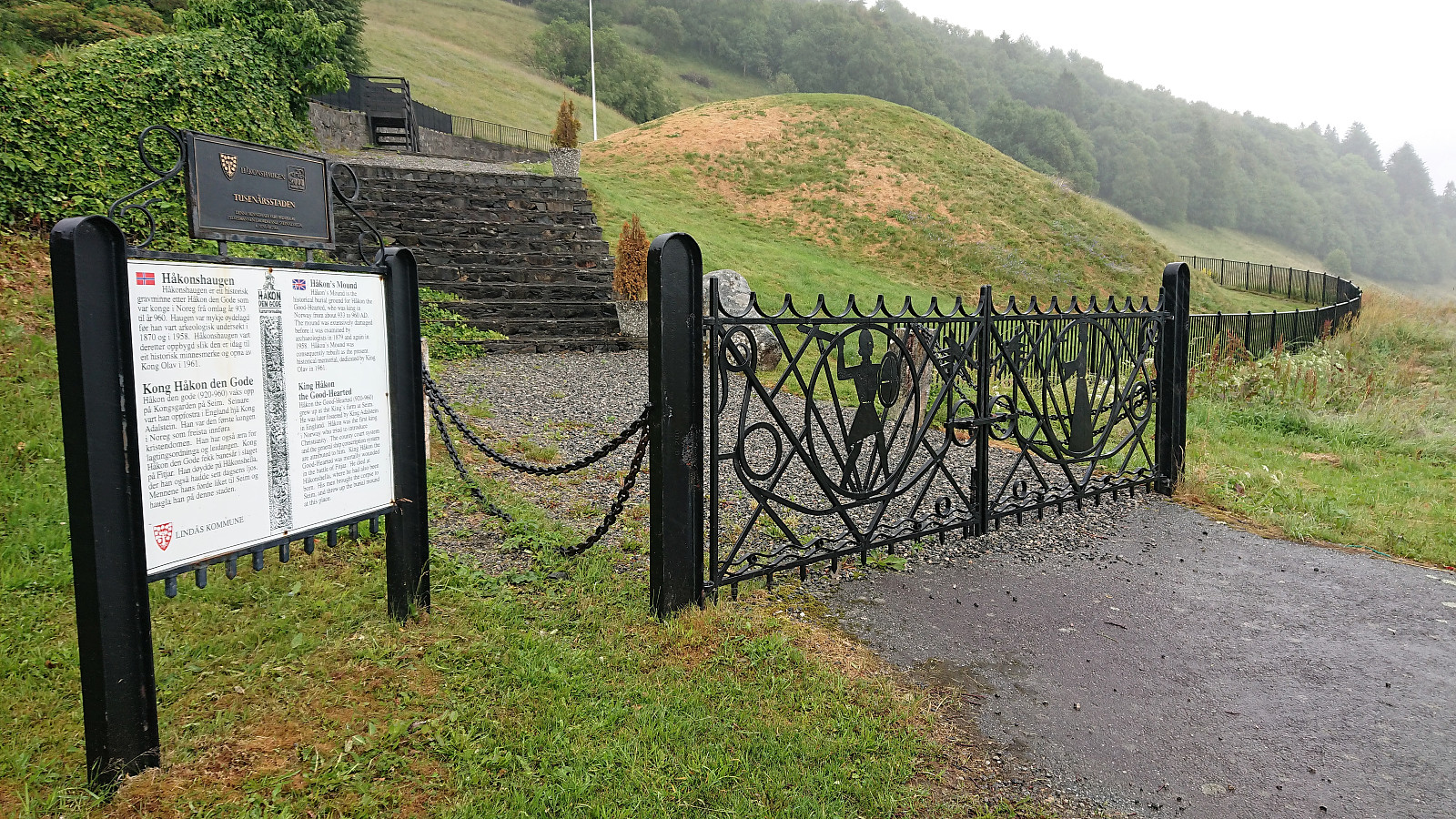
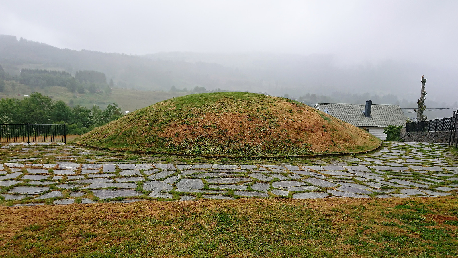
All that now remained was to walk south along the road until locating a bus stop. In the end I made it all the way to the crossroads for Åse, before taking the bus back to Bergen. On the way I also included a short stop at Håkonshaugen, of which I unsurprisingly was the only visitor on this rather gray and rainy day.
Conclusion
Overall, not the most exciting hike, with generally very limited views along the way. The trails, and tractor roads, where slightly better than expected though, although very wet on this particular day. Probably not a hike I will be repeating, but a potential alternative would be to start with Svekanen (from Furuberg) and from there follow the marked trail to Totlandsfjellet and onwards to Kråketangen.
| Starttidspunkt | 23.06.2018 13:07 (UTC+01:00 ST) |
| Sluttidspunkt | 23.06.2018 17:32 (UTC+01:00 ST) |
| Totaltid | 4t 25min |
| Bevegelsestid | 4t 17min |
| Pausetid | 0t 7min |
| Snittfart totalt | 4,0km/t |
| Snittfart bevegelsestid | 4,1km/t |
| Distanse | 17,6km |
| Høydemeter | 745m |

Kommentarer