Flot (19.05.2018)

| Startsted | Einehaugen (37moh) |
|---|---|
| Sluttsted | Einehaugen (34moh) |
| Turtype | Fjelltur |
| Turlengde | 1t 10min |
| Distanse | 3,7km |
| Høydemeter | 270m |
| GPS |
|
| Andre besøkte PBE'er | Flot (219moh) | 19.05.2018 |
|---|
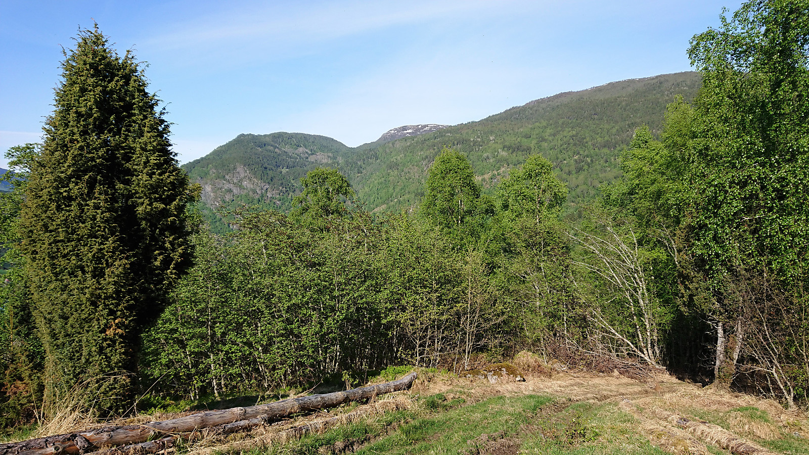
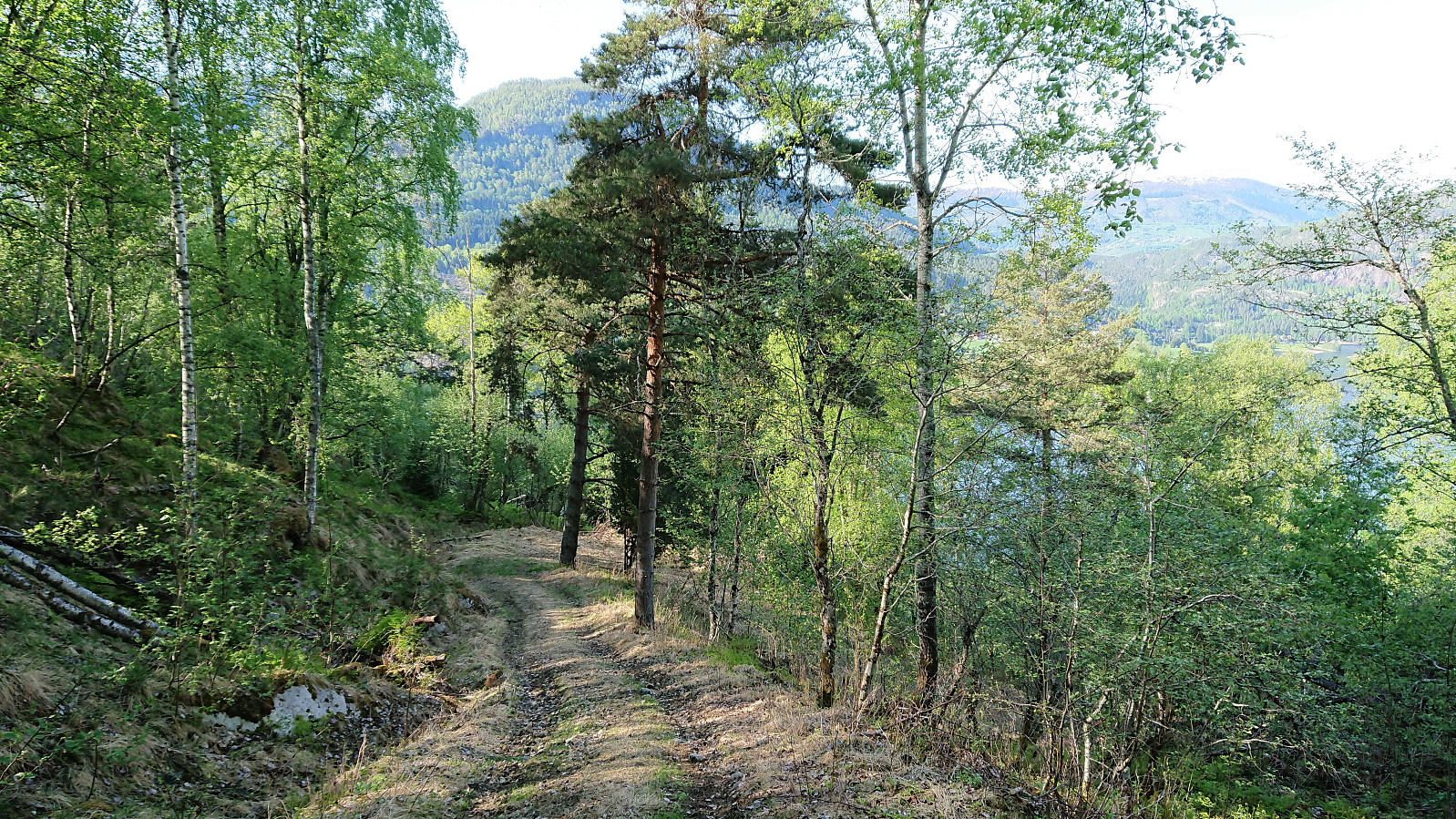
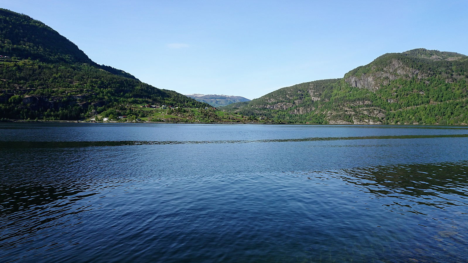
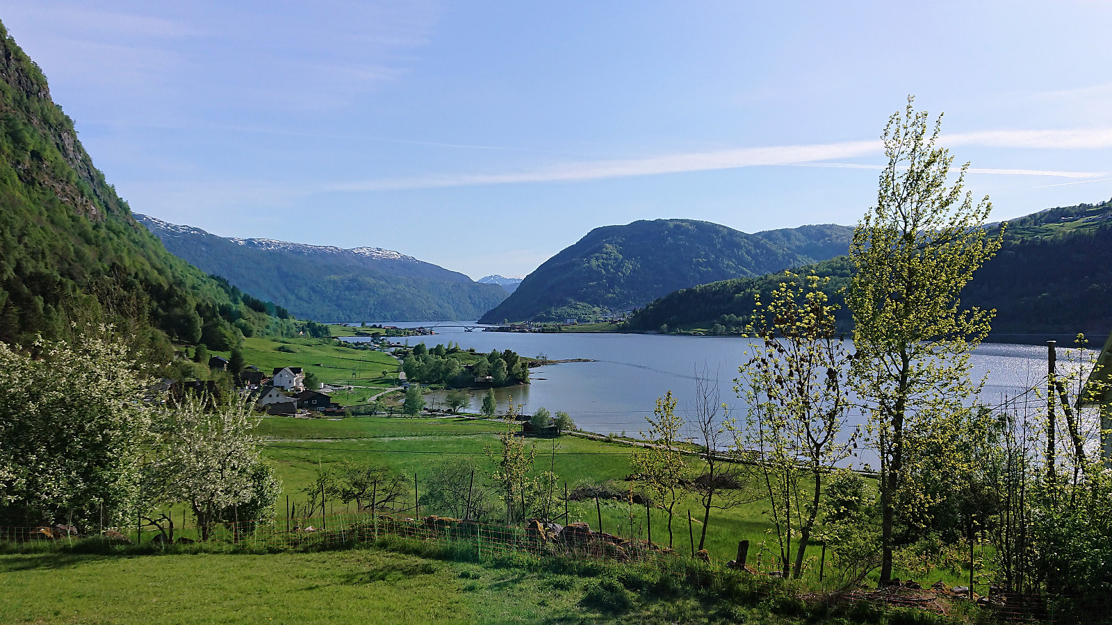
Flot
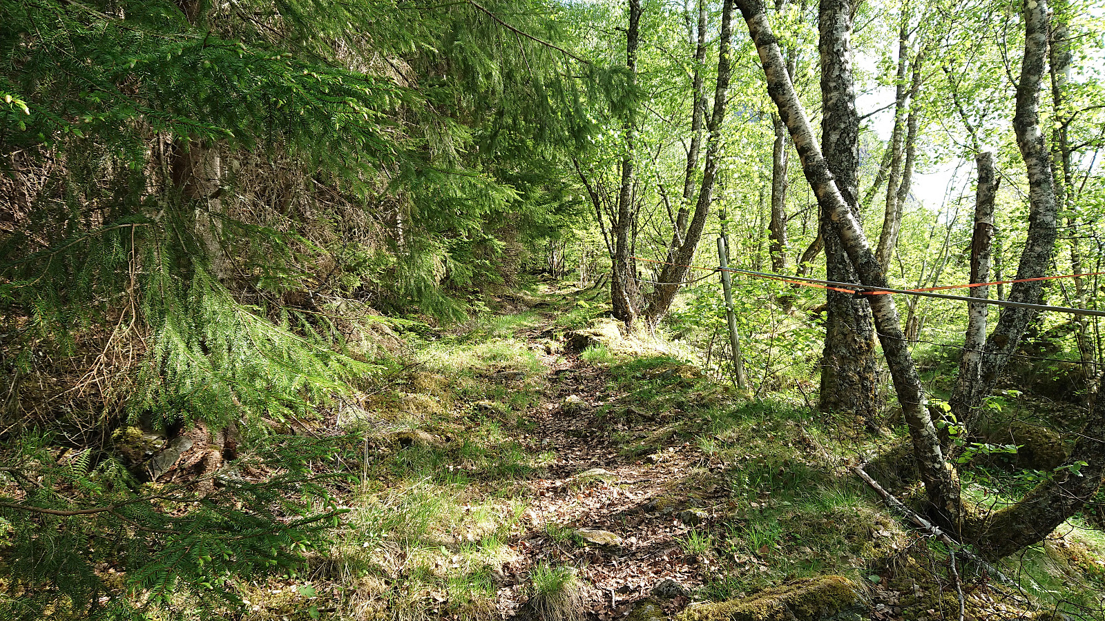
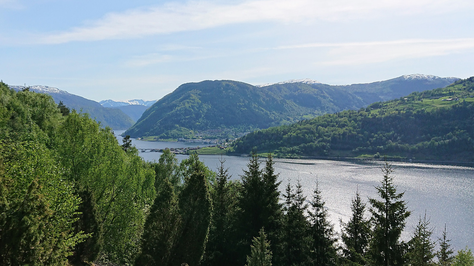
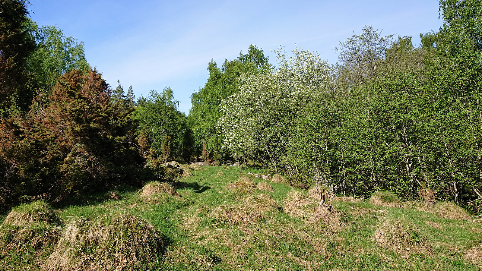
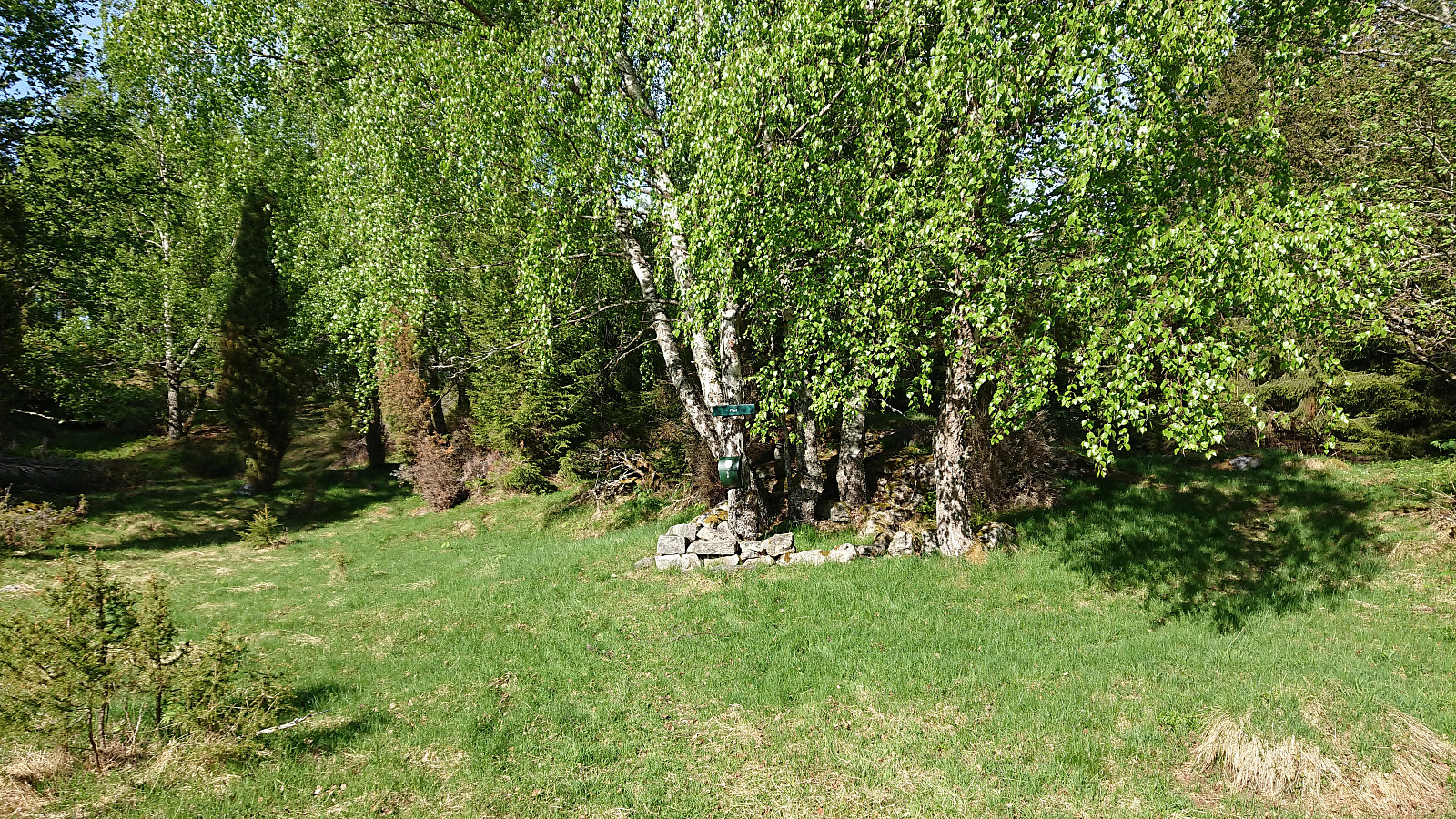
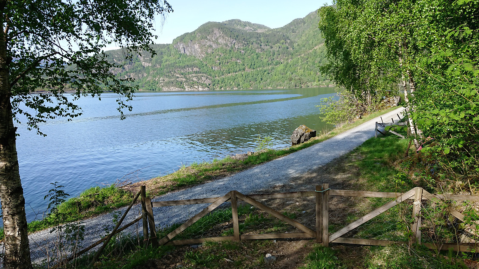
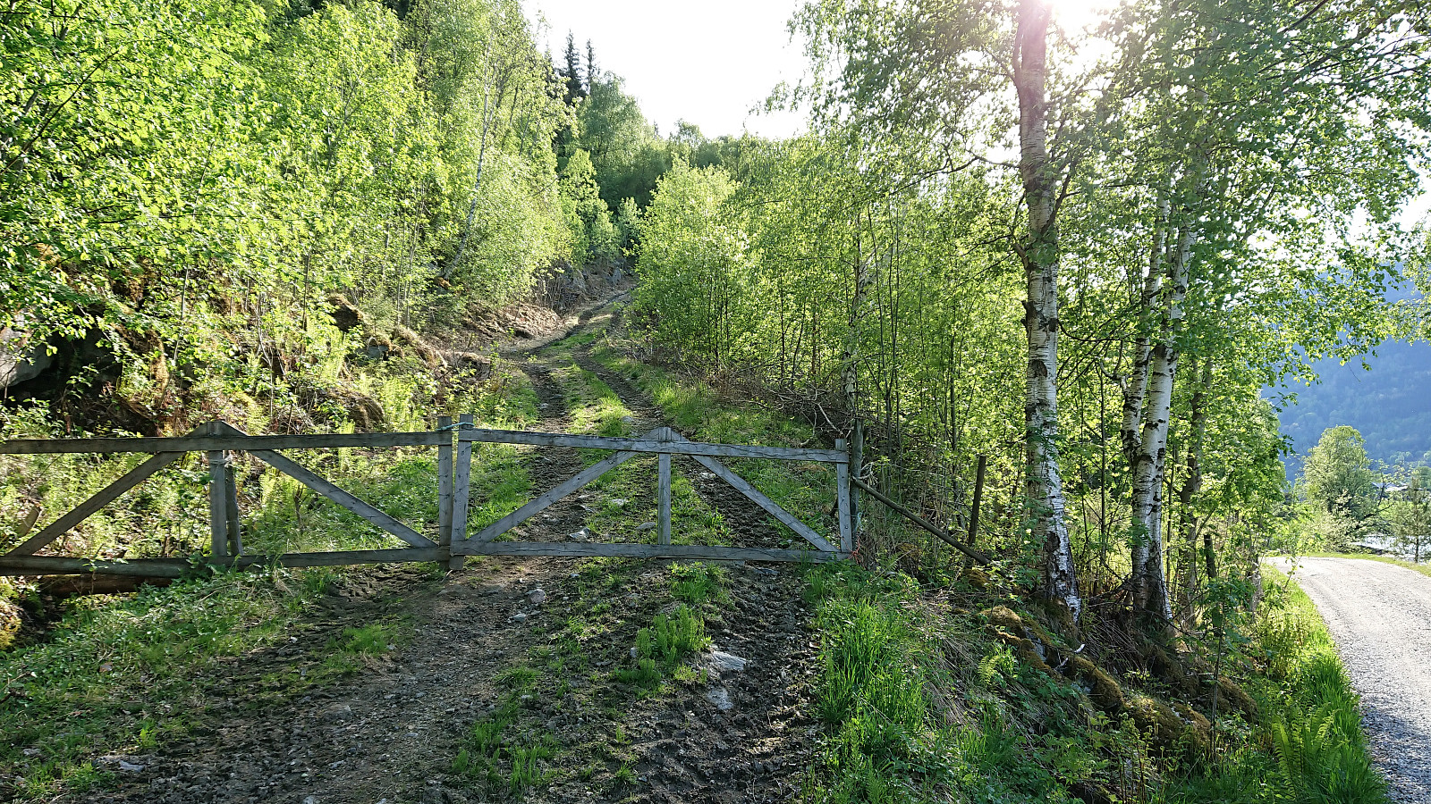
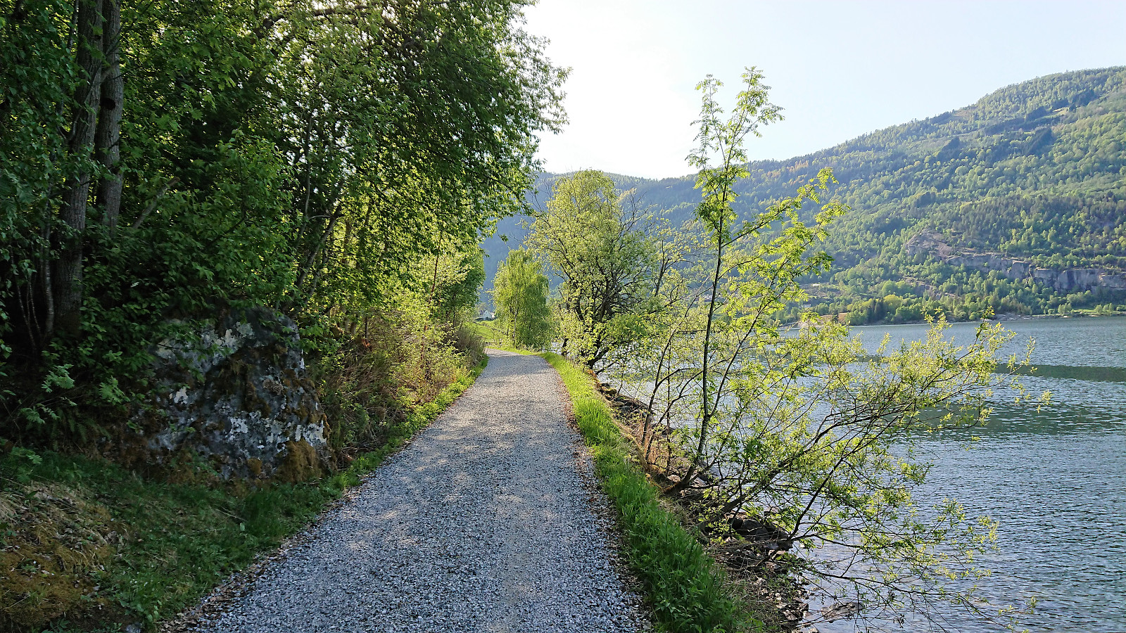
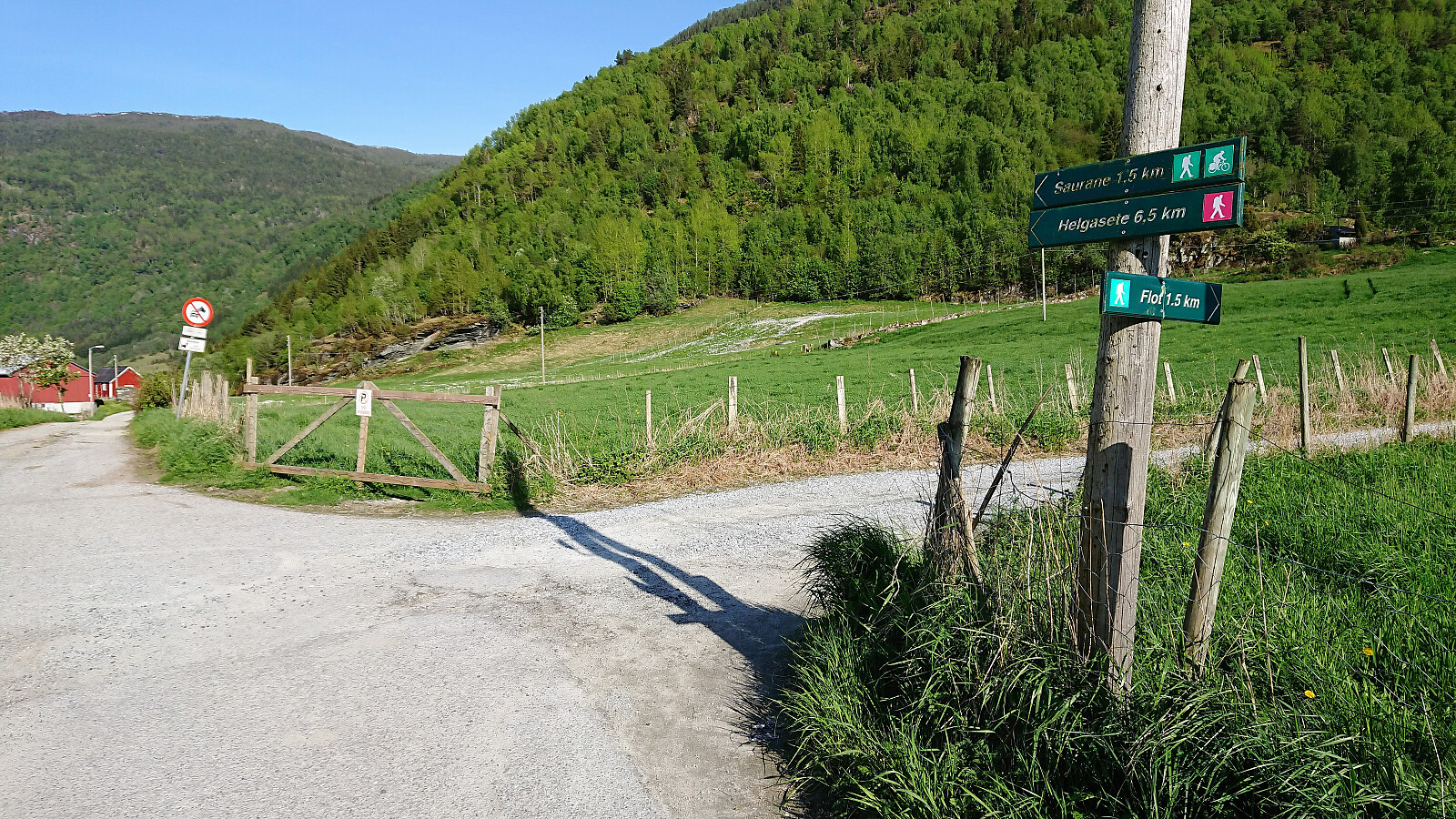
Short hike to Flot following the marked trail on the ascent and the tractor road down to Barsnesfjorden on the descent.
Note that there is no parking where the trail starts. There are however a couple of parking spaces down by the small wharf along Barsnesfjorden just before the road turns west and starts climbing slightly towards the crossroads at Barsnes.
| Starttidspunkt | 19.05.2018 16:54 (UTC+01:00 ST) |
| Sluttidspunkt | 19.05.2018 18:05 (UTC+01:00 ST) |
| Totaltid | 1t 10min |
| Bevegelsestid | 1t 07min |
| Pausetid | 0t 2min |
| Snittfart totalt | 3,1km/t |
| Snittfart bevegelsestid | 3,2km/t |
| Distanse | 3,7km |
| Høydemeter | 270m |

Kommentarer